| Location |
Co-Ordinates
(Latitude, Longitude and Elevation) |
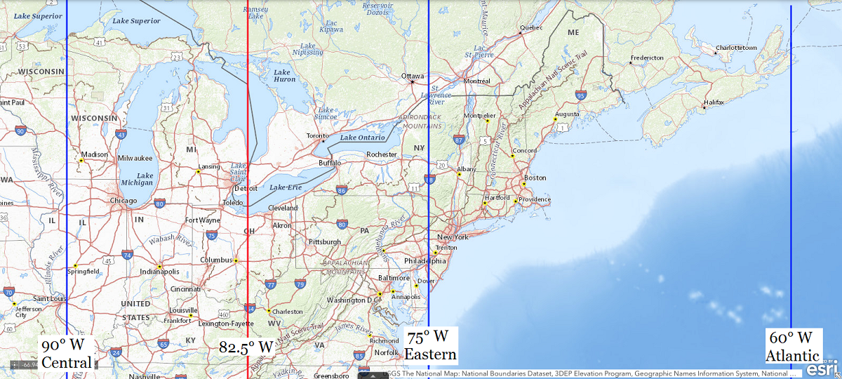
Mean solar time at noon
Central Standard Time
(Mountain Daylight Saving Time) |
Mean solar time at noon
Eastern Standard Time
(Central Daylight Saving Time) |
Mean solar time at noon
Atlantic Standard Time
(Eastern Daylight Saving Time) |
7th Ward School,
Erie County
|
Elevation: 180 meters*
Latitude: 41.4419955° N
Longitude: 82.715461° W
|
12:29:08 |
11:29:08 |
10:29:08 |
A B Hart Junior High School,
Cuyahoga County
|
Elevation: 224 meters*
Latitude: 41.4519967° N
Longitude: 81.6362383° W
|
12:33:27 |
11:33:27 |
10:33:27 |
A J Jordak Elementary School,
Geauga County
|
Elevation: 347 meters*
Latitude: 41.4622764° N
Longitude: 81.07093° W
|
12:35:42 |
11:35:42 |
10:35:42 |
A Plus Arts Academy,
Franklin County
|
Elevation: 240 meters*
Latitude: 39.9672222° N
Longitude: 82.905° W
|
12:28:22 |
11:28:22 |
10:28:22 |
A Station Cleveland Post Office,
Cuyahoga County
|
Elevation: 212 meters*
Latitude: 41.474525° N
Longitude: 81.7314261° W
|
12:33:04 |
11:33:04 |
10:33:04 |
AMC Dayton Post Office,
Greene County
|
Elevation: 243 meters*
Latitude: 39.7906341° N
Longitude: 84.0969117° W
|
12:23:36 |
11:23:36 |
10:23:36 |
AMC Finance Unit Post Office,
Cuyahoga County
|
Elevation: 240 meters*
Latitude: 41.4010349° N
Longitude: 81.8445395° W
|
12:32:37 |
11:32:37 |
10:32:37 |
Abanaka Post Office (historical),
Tuscarawas County
|
Elevation: 253 meters*
Latitude: 40.7597222° N
Longitude: 84.6986111° W
|
12:21:12 |
11:21:12 |
10:21:12 |
Abanaka Post Office (historical),
Van Wert County
|
Elevation: 253 meters*
Latitude: 40.7597222° N
Longitude: 84.6986111° W
|
12:21:12 |
11:21:12 |
10:21:12 |
Abbeyville Post Office (historical),
Medina County
|
Elevation: 269 meters*
Latitude: 41.1972764° N
Longitude: 81.8873588° W
|
12:32:27 |
11:32:27 |
10:32:27 |
Abbot School (historical),
Fulton County
|
Elevation: 233 meters*
Latitude: 41.6975507° N
Longitude: 84.1896692° W
|
12:23:14 |
11:23:14 |
10:23:14 |
Abbottsville Post Office (historical),
Darke County
|
Elevation: 324 meters*
Latitude: 40.0375497° N
Longitude: 84.5777315° W
|
12:21:41 |
11:21:41 |
10:21:41 |
Abc Academy,
Franklin County
|
Elevation: 238 meters*
Latitude: 39.955° N
Longitude: 82.8938889° W
|
12:28:25 |
11:28:25 |
10:28:25 |
Abe Post Office (historical),
Miami County
|
Elevation: 296 meters*
Latitude: 40.1653274° N
Longitude: 84.3735595° W
|
12:22:30 |
11:22:30 |
10:22:30 |
Aberdeen Elementary School,
Brown County
|
Elevation: 157 meters*
Latitude: 38.6539629° N
Longitude: 83.75881° W
|
12:24:57 |
11:24:57 |
10:24:57 |
Aberdeen Post Office,
Brown County
|
Elevation: 158 meters*
Latitude: 38.6551782° N
Longitude: 83.7600512° W
|
12:24:57 |
11:24:57 |
10:24:57 |
Acacia School (historical),
Adams County
|
Elevation: 169 meters*
Latitude: 38.6534075° N
Longitude: 83.6840855° W
|
12:25:15 |
11:25:15 |
10:25:15 |
Academia Post office (historical),
Knox County
|
Elevation: 322 meters*
Latitude: 40.4139512° N
Longitude: 82.4679402° W
|
12:30:07 |
11:30:07 |
10:30:07 |
Academy For Leadership,
Franklin County
|
Elevation: 242 meters*
Latitude: 39.9652778° N
Longitude: 82.985° W
|
12:28:03 |
11:28:03 |
10:28:03 |
Academy Kids Learning Center,
Franklin County
|
Elevation: 240 meters*
Latitude: 39.9736111° N
Longitude: 82.9572222° W
|
12:28:10 |
11:28:10 |
10:28:10 |
Academy School,
Warren County
|
Elevation: 229 meters*
Latitude: 39.4389484° N
Longitude: 84.204381° W
|
12:23:10 |
11:23:10 |
10:23:10 |
Academy of Court Reporting,
Franklin County
|
Elevation: 230 meters*
Latitude: 39.9643852° N
Longitude: 82.9970076° W
|
12:28:00 |
11:28:00 |
10:28:00 |
Academy of Creative Expressions,
Cuyahoga County
|
Elevation: 198 meters*
Latitude: 41.5188889° N
Longitude: 81.6325° W
|
12:33:28 |
11:33:28 |
10:33:28 |
Academy of Human Resources,
Cuyahoga County
|
Elevation: 198 meters*
Latitude: 41.5188889° N
Longitude: 81.6325° W
|
12:33:28 |
11:33:28 |
10:33:28 |
Academy of Medicine,
Cuyahoga County
|
Elevation: 210 meters*
Latitude: 41.5003297° N
Longitude: 81.608738° W
|
12:33:33 |
11:33:33 |
10:33:33 |
Academy of Music (historical),
Cuyahoga County
|
Elevation: 198 meters*
Latitude: 41.4997731° N
Longitude: 81.697909° W
|
12:33:12 |
11:33:12 |
10:33:12 |
Academy of Saint Adalbert,
Cuyahoga County
|
Elevation: 242 meters*
Latitude: 41.3750873° N
Longitude: 81.8550156° W
|
12:32:34 |
11:32:34 |
10:32:34 |
Academy of World Languages,
Hamilton County
|
Elevation: 225 meters*
Latitude: 39.13523° N
Longitude: 84.462512° W
|
12:22:08 |
11:22:08 |
10:22:08 |
Ackley School (historical),
Noble County
|
Elevation: 293 meters*
Latitude: 39.7681284° N
Longitude: 81.5204015° W
|
12:33:55 |
11:33:55 |
10:33:55 |
Ackmer School (historical),
Fulton County
|
Elevation: 255 meters*
Latitude: 41.6803283° N
Longitude: 84.3696704° W
|
12:22:31 |
11:22:31 |
10:22:31 |
Acme Post Office (historical),
Medina County
|
Elevation: 365 meters*
Latitude: 41.0250546° N
Longitude: 81.7956892° W
|
12:32:49 |
11:32:49 |
10:32:49 |
Ada Elementary School,
Hardin County
|
Elevation: 293 meters*
Latitude: 40.7739414° N
Longitude: 83.8307707° W
|
12:24:40 |
11:24:40 |
10:24:40 |
Ada High School,
Hardin County
|
Elevation: 293 meters*
Latitude: 40.7744969° N
Longitude: 83.8307707° W
|
12:24:40 |
11:24:40 |
10:24:40 |
Ada Post Office,
Hardin County
|
Elevation: 292 meters*
Latitude: 40.7696264° N
Longitude: 83.8234894° W
|
12:24:42 |
11:24:42 |
10:24:42 |
Adair Post Office (historical),
Columbiana County
|
Elevation: 366 meters*
Latitude: 40.7931146° N
Longitude: 80.9553665° W
|
12:36:10 |
11:36:10 |
10:36:10 |
Adam School,
Hancock County
|
Elevation: 237 meters*
Latitude: 41.0422755° N
Longitude: 83.6624325° W
|
12:25:21 |
11:25:21 |
10:25:21 |
Adams Elementary School,
Butler County
|
Elevation: 199 meters*
Latitude: 39.4022784° N
Longitude: 84.5746692° W
|
12:21:42 |
11:21:42 |
10:21:42 |
Adams Elementary School,
Mahoning County
|
Elevation: 300 meters*
Latitude: 41.0750585° N
Longitude: 80.628963° W
|
12:37:29 |
11:37:29 |
10:37:29 |
Adams High School (historical),
Cuyahoga County
|
Elevation: 271 meters*
Latitude: 41.454497° N
Longitude: 81.6023477° W
|
12:33:35 |
11:33:35 |
10:33:35 |
Adams Junior High School,
Erie County
|
Elevation: 184 meters*
Latitude: 41.4543093° N
Longitude: 82.7095107° W
|
12:29:09 |
11:29:09 |
10:29:09 |
Adams Mills Post Office,
Muskingum County
|
Elevation: 224 meters*
Latitude: 40.1570145° N
Longitude: 81.9470785° W
|
12:32:12 |
11:32:12 |
10:32:12 |
Adams Ridge Post Office (historical),
Defiance County
|
Elevation: 223 meters*
Latitude: 41.3986609° N
Longitude: 84.265226° W
|
12:22:56 |
11:22:56 |
10:22:56 |
Adams School (historical),
Meigs County
|
Elevation: 188 meters*
Latitude: 38.9825801° N
Longitude: 81.7823543° W
|
12:32:52 |
11:32:52 |
10:32:52 |
Adams School (historical),
Muskingum County
|
Elevation: 299 meters*
Latitude: 40.1375711° N
Longitude: 81.8390192° W
|
12:32:38 |
11:32:38 |
10:32:38 |
Adams School (historical),
Scioto County
|
Elevation: 220 meters*
Latitude: 38.935351° N
Longitude: 82.8857281° W
|
12:28:27 |
11:28:27 |
10:28:27 |
Adams School (historical),
Union County
|
Elevation: 286 meters*
Latitude: 40.4422812° N
Longitude: 83.2679733° W
|
12:26:55 |
11:26:55 |
10:26:55 |
Adams School,
Lake County
|
Elevation: 227 meters*
Latitude: 41.7792207° N
Longitude: 81.0064847° W
|
12:35:58 |
11:35:58 |
10:35:58 |
Adamsville Elementary School,
Muskingum County
|
Elevation: 309 meters*
Latitude: 40.0659035° N
Longitude: 81.8823542° W
|
12:32:28 |
11:32:28 |
10:32:28 |
Adamsville Post Office,
Muskingum County
|
Elevation: 310 meters*
Latitude: 40.0703314° N
Longitude: 81.8826255° W
|
12:32:28 |
11:32:28 |
10:32:28 |
Adario Post Office (historical),
Richland County
|
Elevation: 353 meters*
Latitude: 40.9347778° N
Longitude: 82.4498899° W
|
12:30:12 |
11:30:12 |
10:30:12 |
Addams High School,
Cuyahoga County
|
Elevation: 203 meters*
Latitude: 41.5008847° N
Longitude: 81.6529068° W
|
12:33:23 |
11:33:23 |
10:33:23 |
Addaville Elementary School,
Gallia County
|
Elevation: 181 meters*
Latitude: 38.9059127° N
Longitude: 82.1720905° W
|
12:31:18 |
11:31:18 |
10:31:18 |
Addison Elementary School,
Trumbull County
|
Elevation: 275 meters*
Latitude: 41.2200563° N
Longitude: 80.5222934° W
|
12:37:54 |
11:37:54 |
10:37:54 |
Addison High School,
Cuyahoga County
|
Elevation: 201 meters*
Latitude: 41.5097735° N
Longitude: 81.6329057° W
|
12:33:28 |
11:33:28 |
10:33:28 |
Addison Post Office,
Gallia County
|
Elevation: 164 meters*
Latitude: 38.886191° N
Longitude: 82.1457005° W
|
12:31:25 |
11:31:25 |
10:31:25 |
Addyston Post Office,
Hamilton County
|
Elevation: 152 meters*
Latitude: 39.1392633° N
Longitude: 84.7147475° W
|
12:21:08 |
11:21:08 |
10:21:08 |
Adelphia Post Office,
Ross County
|
Elevation: 253 meters*
Latitude: 39.4672859° N
Longitude: 82.7476701° W
|
12:29:00 |
11:29:00 |
10:29:00 |
Adena Elementary School,
Butler County
|
Elevation: 251 meters*
Latitude: 39.3158914° N
Longitude: 84.3852187° W
|
12:22:27 |
11:22:27 |
10:22:27 |
Adena Elementary School,
Jefferson County
|
Elevation: 265 meters*
Latitude: 40.2228472° N
Longitude: 80.8709225° W
|
12:36:30 |
11:36:30 |
10:36:30 |
Adena High School,
Ross County
|
Elevation: 226 meters*
Latitude: 39.4061746° N
Longitude: 83.183521° W
|
12:27:15 |
11:27:15 |
10:27:15 |
Adena Post Office,
Jefferson County
|
Elevation: 263 meters*
Latitude: 40.2185132° N
Longitude: 80.8733103° W
|
12:36:30 |
11:36:30 |
10:36:30 |
Adney School (historical),
Gallia County
|
Elevation: 209 meters*
Latitude: 39.0100762° N
Longitude: 82.3304306° W
|
12:30:40 |
11:30:40 |
10:30:40 |
Adrian Elementary School,
Cuyahoga County
|
Elevation: 285 meters*
Latitude: 41.5311627° N
Longitude: 81.5265111° W
|
12:33:53 |
11:33:53 |
10:33:53 |
Adrian Post Office,
Seneca County
|
Elevation: 252 meters*
Latitude: 41.0014442° N
Longitude: 83.3235338° W
|
12:26:42 |
11:26:42 |
10:26:42 |
Adriel School,
Logan County
|
Elevation: 354 meters*
Latitude: 40.2561659° N
Longitude: 83.7579886° W
|
12:24:58 |
11:24:58 |
10:24:58 |
Advance Post Office (historical),
Fulton County
|
Elevation: 236 meters*
Latitude: 41.640329° N
Longitude: 84.1124467° W
|
12:23:33 |
11:23:33 |
10:23:33 |
Aetnaville Public School (historical),
Belmont County
|
Elevation: 202 meters*
Latitude: 40.0834056° N
Longitude: 80.7375825° W
|
12:37:02 |
11:37:02 |
10:37:02 |
Africa Post Office (historical),
Delaware County
|
Elevation: 263 meters*
Latitude: 40.1820071° N
Longitude: 82.9568486° W
|
12:28:10 |
11:28:10 |
10:28:10 |
Africentric Alternative School,
Franklin County
|
Elevation: 232 meters*
Latitude: 39.9531199° N
Longitude: 82.9912939° W
|
12:28:02 |
11:28:02 |
10:28:02 |
Afton Post Office (historical),
Clermont County
|
Elevation: 271 meters*
Latitude: 39.061175° N
Longitude: 84.0999338° W
|
12:23:36 |
11:23:36 |
10:23:36 |
Agudas Achim School,
Franklin County
|
Elevation: 243 meters*
Latitude: 39.9700642° N
Longitude: 82.9274021° W
|
12:28:17 |
11:28:17 |
10:28:17 |
Ai Post Office (historical),
Fulton County
|
Elevation: 223 meters*
Latitude: 41.6278294° N
Longitude: 83.9346657° W
|
12:24:15 |
11:24:15 |
10:24:15 |
Aid Post Office (historical),
Lawrence County
|
Elevation: 177 meters*
Latitude: 38.5959135° N
Longitude: 82.4929348° W
|
12:30:01 |
11:30:01 |
10:30:01 |
Aiken School (historical),
Noble County
|
Elevation: 352 meters*
Latitude: 39.8222944° N
Longitude: 81.3890069° W
|
12:34:26 |
11:34:26 |
10:34:26 |
Aiken Senior High School,
Hamilton County
|
Elevation: 263 meters*
Latitude: 39.1917249° N
Longitude: 84.5507776° W
|
12:21:47 |
11:21:47 |
10:21:47 |
Airline Junction Post Office (historical),
Lucas County
|
Elevation: 189 meters*
Latitude: 41.638939° N
Longitude: 83.5832679° W
|
12:25:40 |
11:25:40 |
10:25:40 |
Airway Road Post Office,
Montgomery County
|
Elevation: 242 meters*
Latitude: 39.7665062° N
Longitude: 84.1209366° W
|
12:23:30 |
11:23:30 |
10:23:30 |
Airy School,
Hamilton County
|
Elevation: 274 meters*
Latitude: 39.198669° N
Longitude: 84.576056° W
|
12:21:41 |
11:21:41 |
10:21:41 |
Akron Christian School,
Summit County
|
Elevation: 350 meters*
Latitude: 41.0722785° N
Longitude: 81.4242783° W
|
12:34:18 |
11:34:18 |
10:34:18 |
Akron City School of Nursing,
Summit County
|
Elevation: 320 meters*
Latitude: 41.0795003° N
Longitude: 81.4995596° W
|
12:34:00 |
11:34:00 |
10:34:00 |
Akron Opportunity Center,
Summit County
|
Elevation: 309 meters*
Latitude: 41.0669535° N
Longitude: 81.5287987° W
|
12:33:53 |
11:33:53 |
10:33:53 |
Akron Post Office,
Summit County
|
Elevation: 313 meters*
Latitude: 41.0651065° N
Longitude: 81.5193939° W
|
12:33:55 |
11:33:55 |
10:33:55 |
Albany Post Office,
Athens County
|
Elevation: 231 meters*
Latitude: 39.2282219° N
Longitude: 82.2025565° W
|
12:31:11 |
11:31:11 |
10:31:11 |
Albert Kiracofe Elementary School,
Preble County
|
Elevation: 263 meters*
Latitude: 39.6508875° N
Longitude: 84.52606° W
|
12:21:53 |
11:21:53 |
10:21:53 |
Albion Elementary School,
Cuyahoga County
|
Elevation: 296 meters*
Latitude: 41.3375527° N
Longitude: 81.7559649° W
|
12:32:58 |
11:32:58 |
10:32:58 |
Albion Middle School,
Cuyahoga County
|
Elevation: 277 meters*
Latitude: 41.3312979° N
Longitude: 81.7997504° W
|
12:32:48 |
11:32:48 |
10:32:48 |
Albion Post Office (historical),
Ashland County
|
Elevation: 345 meters*
Latitude: 40.9750557° N
Longitude: 82.1637667° W
|
12:31:20 |
11:31:20 |
10:31:20 |
Albright School (historical),
Crawford County
|
Elevation: 318 meters*
Latitude: 40.7400579° N
Longitude: 82.9054621° W
|
12:28:22 |
11:28:22 |
10:28:22 |
Albright School (historical),
Ross County
|
Elevation: 239 meters*
Latitude: 39.4667289° N
Longitude: 83.0490726° W
|
12:27:48 |
11:27:48 |
10:27:48 |
Alcony Post Office (historical),
Miami County
|
Elevation: 301 meters*
Latitude: 40.0111687° N
Longitude: 84.058271° W
|
12:23:46 |
11:23:46 |
10:23:46 |
Alcony School (historical),
Miami County
|
Elevation: 304 meters*
Latitude: 40.0103356° N
Longitude: 84.0471594° W
|
12:23:48 |
11:23:48 |
10:23:48 |
Alcott School,
Cuyahoga County
|
Elevation: 199 meters*
Latitude: 41.4825504° N
Longitude: 81.7568003° W
|
12:32:58 |
11:32:58 |
10:32:58 |
Alden Elementary School,
Trumbull County
|
Elevation: 278 meters*
Latitude: 41.2320013° N
Longitude: 80.8503627° W
|
12:36:35 |
11:36:35 |
10:36:35 |
Alert Post Office (historical),
Butler County
|
Elevation: 193 meters*
Latitude: 39.3236658° N
Longitude: 84.7735622° W
|
12:20:54 |
11:20:54 |
10:20:54 |
Alert Post Office (historical),
Butler County
|
Elevation: 196 meters*
Latitude: 39.3250547° N
Longitude: 84.7749512° W
|
12:20:54 |
11:20:54 |
10:20:54 |
Alexander Elementary School,
Athens County
|
Elevation: 246 meters*
Latitude: 39.2256291° N
Longitude: 82.2065363° W
|
12:31:10 |
11:31:10 |
10:31:10 |
Alexander Graham Bell Elementary School,
Franklin County
|
Elevation: 270 meters*
Latitude: 40.0350642° N
Longitude: 82.9746266° W
|
12:28:06 |
11:28:06 |
10:28:06 |
Alexander Graham Bell School for the Deaf,
Cuyahoga County
|
Elevation: 206 meters*
Latitude: 41.4936626° N
Longitude: 81.6520732° W
|
12:33:23 |
11:33:23 |
10:33:23 |
Alexander Hamilton Junior High School,
Cuyahoga County
|
Elevation: 278 meters*
Latitude: 41.464497° N
Longitude: 81.5917918° W
|
12:33:37 |
11:33:37 |
10:33:37 |
Alexander High School,
Athens County
|
Elevation: 237 meters*
Latitude: 39.2414623° N
Longitude: 82.1851467° W
|
12:31:15 |
11:31:15 |
10:31:15 |
Alexander Junior High School,
Athens County
|
Elevation: 251 meters*
Latitude: 39.227575° N
Longitude: 82.0393084° W
|
12:31:50 |
11:31:50 |
10:31:50 |
Alexander Middle School,
Athens County
|
Elevation: 253 meters*
Latitude: 39.3206275° N
Longitude: 82.2207036° W
|
12:31:07 |
11:31:07 |
10:31:07 |
Alexandria Post Office (historical),
Scioto County
|
Elevation: 160 meters*
Latitude: 38.7250762° N
Longitude: 83.0485092° W
|
12:27:48 |
11:27:48 |
10:27:48 |
Alexandria Post Office,
Licking County
|
Elevation: 297 meters*
Latitude: 40.089073° N
Longitude: 82.6122777° W
|
12:29:33 |
11:29:33 |
10:29:33 |
Alexis Post Office (historical),
Monroe County
|
Elevation: 238 meters*
Latitude: 39.6361855° N
Longitude: 81.0317726° W
|
12:35:52 |
11:35:52 |
10:35:52 |
Alfred A Benesch Elementary School,
Cuyahoga County
|
Elevation: 206 meters*
Latitude: 41.4936626° N
Longitude: 81.6520732° W
|
12:33:23 |
11:33:23 |
10:33:23 |
Alfred Holbrook Elementary School,
Warren County
|
Elevation: 260 meters*
Latitude: 39.4431153° N
Longitude: 84.1879919° W
|
12:23:14 |
11:23:14 |
10:23:14 |
Alfred Post Office (historical),
Meigs County
|
Elevation: 209 meters*
Latitude: 39.1722986° N
Longitude: 81.920693° W
|
12:32:19 |
11:32:19 |
10:32:19 |
Alger Elementary School,
Hardin County
|
Elevation: 303 meters*
Latitude: 40.7111631° N
Longitude: 83.84466° W
|
12:24:37 |
11:24:37 |
10:24:37 |
Alger Post Office,
Hardin County
|
Elevation: 298 meters*
Latitude: 40.7061422° N
Longitude: 83.8436082° W
|
12:24:37 |
11:24:37 |
10:24:37 |
Alger School,
Montgomery County
|
Elevation: 299 meters*
Latitude: 39.8531137° N
Longitude: 84.1188274° W
|
12:23:31 |
11:23:31 |
10:23:31 |
Alibi School (historical),
Miami County
|
Elevation: 321 meters*
Latitude: 40.1750522° N
Longitude: 84.1196633° W
|
12:23:31 |
11:23:31 |
10:23:31 |
Alice Post Office (historical),
Gallia County
|
Elevation: 216 meters*
Latitude: 39.0209088° N
Longitude: 82.3720988° W
|
12:30:30 |
11:30:30 |
10:30:30 |
Alikanna Post Office (historical),
Jefferson County
|
Elevation: 220 meters*
Latitude: 40.387568° N
Longitude: 80.6359081° W
|
12:37:27 |
11:37:27 |
10:37:27 |
All Saints Academy,
Franklin County
|
Elevation: 237 meters*
Latitude: 39.9463889° N
Longitude: 82.9197222° W
|
12:28:19 |
11:28:19 |
10:28:19 |
All Saints School,
Jefferson County
|
Elevation: 223 meters*
Latitude: 40.357013° N
Longitude: 80.6214632° W
|
12:37:30 |
11:37:30 |
10:37:30 |
Alledonia Post Office,
Belmont County
|
Elevation: 253 meters*
Latitude: 39.8986836° N
Longitude: 80.9692639° W
|
12:36:07 |
11:36:07 |
10:36:07 |
Allen Centre Post Office (historical),
Union County
|
Elevation: 321 meters*
Latitude: 40.2416667° N
Longitude: 83.4777778° W
|
12:26:05 |
11:26:05 |
10:26:05 |
Allen Classical Academy,
Montgomery County
|
Elevation: 232 meters*
Latitude: 39.77667° N
Longitude: 84.1675° W
|
12:23:19 |
11:23:19 |
10:23:19 |
Allen East Elementary School,
Allen County
|
Elevation: 301 meters*
Latitude: 40.7061626° N
Longitude: 83.9254968° W
|
12:24:17 |
11:24:17 |
10:24:17 |
Allen East High School,
Allen County
|
Elevation: 286 meters*
Latitude: 40.7594963° N
Longitude: 83.9521648° W
|
12:24:11 |
11:24:11 |
10:24:11 |
Allen East Primary School,
Allen County
|
Elevation: 287 meters*
Latitude: 40.7600519° N
Longitude: 83.9521648° W
|
12:24:11 |
11:24:11 |
10:24:11 |
Allen Elementary School,
Ottawa County
|
Elevation: 184 meters*
Latitude: 41.5869937° N
Longitude: 83.3579839° W
|
12:26:34 |
11:26:34 |
10:26:34 |
Allen Elementary School,
Ross County
|
Elevation: 213 meters*
Latitude: 39.3295085° N
Longitude: 83.0135141° W
|
12:27:56 |
11:27:56 |
10:27:56 |
Allen Elementary School,
Stark County
|
Elevation: 315 meters*
Latitude: 40.7872808° N
Longitude: 81.3651133° W
|
12:34:32 |
11:34:32 |
10:34:32 |
Allen House School,
Hamilton County
|
Elevation: 252 meters*
Latitude: 39.1245035° N
Longitude: 84.5855001° W
|
12:21:39 |
11:21:39 |
10:21:39 |
Allen School (historical),
Marion County
|
Elevation: 289 meters*
Latitude: 40.5467234° N
Longitude: 83.3893665° W
|
12:26:26 |
11:26:26 |
10:26:26 |
Allen School (historical),
Paulding County
|
Elevation: 221 meters*
Latitude: 41.0919936° N
Longitude: 84.5541187° W
|
12:21:47 |
11:21:47 |
10:21:47 |
Allen School (historical),
Pickaway County
|
Elevation: 260 meters*
Latitude: 39.7417283° N
Longitude: 83.1660226° W
|
12:27:20 |
11:27:20 |
10:27:20 |
Allen School (historical),
Shelby County
|
Elevation: 318 meters*
Latitude: 40.3314386° N
Longitude: 84.1182761° W
|
12:23:31 |
11:23:31 |
10:23:31 |
Allensburgh Post Office (historical),
Highland County
|
Elevation: 315 meters*
Latitude: 39.2042298° N
Longitude: 83.7777029° W
|
12:24:53 |
11:24:53 |
10:24:53 |
Allensville Elementary School,
Vinton County
|
Elevation: 206 meters*
Latitude: 39.272013° N
Longitude: 82.6084963° W
|
12:29:33 |
11:29:33 |
10:29:33 |
Allentown Post Office (historical),
Allen County
|
Elevation: 244 meters*
Latitude: 40.7556062° N
Longitude: 84.1943948° W
|
12:23:13 |
11:23:13 |
10:23:13 |
Allfox School (historical),
Miami County
|
Elevation: 297 meters*
Latitude: 40.0881061° N
Longitude: 84.4060602° W
|
12:22:22 |
11:22:22 |
10:22:22 |
Alliance Academy of Cincinnati,
Hamilton County
|
Elevation: 226 meters*
Latitude: 39.1422222° N
Longitude: 84.4702778° W
|
12:22:07 |
11:22:07 |
10:22:07 |
Alliance College (historical),
Stark County
|
Elevation: 349 meters*
Latitude: 40.918114° N
Longitude: 81.100375° W
|
12:35:35 |
11:35:35 |
10:35:35 |
Alliance High School,
Stark County
|
Elevation: 357 meters*
Latitude: 40.9117251° N
Longitude: 81.1114868° W
|
12:35:33 |
11:35:33 |
10:35:33 |
Alliance Post Office,
Stark County
|
Elevation: 338 meters*
Latitude: 40.9211651° N
Longitude: 81.1010095° W
|
12:35:35 |
11:35:35 |
10:35:35 |
Alliance Post Office,
Stark County
|
Elevation: 352 meters*
Latitude: 40.9153362° N
Longitude: 81.1053753° W
|
12:35:34 |
11:35:34 |
10:35:34 |
Allinger School (historical),
Hardin County
|
Elevation: 302 meters*
Latitude: 40.5647773° N
Longitude: 83.5135374° W
|
12:25:56 |
11:25:56 |
10:25:56 |
Allison Street Elementary School,
Hamilton County
|
Elevation: 199 meters*
Latitude: 39.1578371° N
Longitude: 84.4607753° W
|
12:22:09 |
11:22:09 |
10:22:09 |
Alma Post Office (historical),
Ross County
|
Elevation: 194 meters*
Latitude: 39.1875669° N
Longitude: 82.9790669° W
|
12:28:05 |
11:28:05 |
10:28:05 |
Almira Elementary School,
Cuyahoga County
|
Elevation: 225 meters*
Latitude: 41.4617176° N
Longitude: 81.7517998° W
|
12:32:59 |
11:32:59 |
10:32:59 |
Alpha Post Office,
Greene County
|
Elevation: 245 meters*
Latitude: 39.7092666° N
Longitude: 84.0237382° W
|
12:23:54 |
11:23:54 |
10:23:54 |
Alpine Dell School (historical),
Clermont County
|
Elevation: 230 meters*
Latitude: 39.2008929° N
Longitude: 84.2663259° W
|
12:22:56 |
11:22:56 |
10:22:56 |
Alpine Elementary School,
Franklin County
|
Elevation: 278 meters*
Latitude: 40.094508° N
Longitude: 82.9735157° W
|
12:28:06 |
11:28:06 |
10:28:06 |
Alpine School (historical),
Clermont County
|
Elevation: 275 meters*
Latitude: 39.0789529° N
Longitude: 84.0602109° W
|
12:23:45 |
11:23:45 |
10:23:45 |
Alta Post Office (historical),
Richland County
|
Elevation: 392 meters*
Latitude: 40.7320016° N
Longitude: 82.5693378° W
|
12:29:43 |
11:29:43 |
10:29:43 |
Alter School,
Wood County
|
Elevation: 186 meters*
Latitude: 41.6108836° N
Longitude: 83.5557669° W
|
12:25:46 |
11:25:46 |
10:25:46 |
Alternative Learning Center at Longfellow,
Montgomery County
|
Elevation: 232 meters*
Latitude: 39.7652778° N
Longitude: 84.2077778° W
|
12:23:10 |
11:23:10 |
10:23:10 |
Alternative Learning and Career Center,
Lucas County
|
Elevation: 195 meters*
Latitude: 41.7181921° N
Longitude: 83.6388473° W
|
12:25:26 |
11:25:26 |
10:25:26 |
Alton Post Office (historical),
Franklin County
|
Elevation: 278 meters*
Latitude: 39.9500626° N
Longitude: 83.1749122° W
|
12:27:18 |
11:27:18 |
10:27:18 |
Alton-Hall Elementary School,
Franklin County
|
Elevation: 278 meters*
Latitude: 39.9289514° N
Longitude: 83.1768566° W
|
12:27:17 |
11:27:17 |
10:27:17 |
Alum Creek Post Office (historical),
Delaware County
|
Elevation: 288 meters*
Latitude: 40.2667287° N
Longitude: 82.9443485° W
|
12:28:13 |
11:28:13 |
10:28:13 |
Alum Creek School (historical),
Delaware County
|
Elevation: 290 meters*
Latitude: 40.2664509° N
Longitude: 82.939904° W
|
12:28:14 |
11:28:14 |
10:28:14 |
Alum Crest School,
Franklin County
|
Elevation: 235 meters*
Latitude: 39.9258973° N
Longitude: 82.9374025° W
|
12:28:15 |
11:28:15 |
10:28:15 |
Alvada Post Office,
Seneca County
|
Elevation: 258 meters*
Latitude: 41.0503346° N
Longitude: 83.4040025° W
|
12:26:23 |
11:26:23 |
10:26:23 |
Alverda Reed Elementary School,
Brown County
|
Elevation: 281 meters*
Latitude: 38.8684026° N
Longitude: 83.9088168° W
|
12:24:21 |
11:24:21 |
10:24:21 |
Alvordton Post Office,
Williams County
|
Elevation: 262 meters*
Latitude: 41.6660839° N
Longitude: 84.4366712° W
|
12:22:15 |
11:22:15 |
10:22:15 |
Alward School (historical),
Licking County
|
Elevation: 356 meters*
Latitude: 40.0161747° N
Longitude: 82.6262759° W
|
12:29:29 |
11:29:29 |
10:29:29 |
Amanda Elementary School,
Butler County
|
Elevation: 195 meters*
Latitude: 39.4795021° N
Longitude: 84.4088318° W
|
12:22:21 |
11:22:21 |
10:22:21 |
Amanda Elementary School,
Fairfield County
|
Elevation: 284 meters*
Latitude: 39.6517303° N
Longitude: 82.7404477° W
|
12:29:02 |
11:29:02 |
10:29:02 |
Amanda Junior High School,
Butler County
|
Elevation: 193 meters*
Latitude: 39.4789466° N
Longitude: 84.4068872° W
|
12:22:22 |
11:22:22 |
10:22:22 |
Amanda Post Office,
Fairfield County
|
Elevation: 285 meters*
Latitude: 39.6493491° N
Longitude: 82.7418477° W
|
12:29:01 |
11:29:01 |
10:29:01 |
Amarine School (historical),
Union County
|
Elevation: 320 meters*
Latitude: 40.25367° N
Longitude: 83.42909° W
|
12:26:17 |
11:26:17 |
10:26:17 |
Ambassador Bible Institute,
Madison County
|
Elevation: 340 meters*
Latitude: 39.8697822° N
Longitude: 83.4949207° W
|
12:26:01 |
11:26:01 |
10:26:01 |
Amboy School,
Ashtabula County
|
Elevation: 214 meters*
Latitude: 41.9239433° N
Longitude: 80.6145221° W
|
12:37:32 |
11:37:32 |
10:37:32 |
Amelia Elementary School,
Clermont County
|
Elevation: 265 meters*
Latitude: 39.0283966° N
Longitude: 84.2166025° W
|
12:23:08 |
11:23:08 |
10:23:08 |
Amelia High School,
Clermont County
|
Elevation: 261 meters*
Latitude: 39.0622847° N
Longitude: 84.2304917° W
|
12:23:04 |
11:23:04 |
10:23:04 |
Amelia Middle School,
Clermont County
|
Elevation: 267 meters*
Latitude: 39.0611735° N
Longitude: 84.2471585° W
|
12:23:00 |
11:23:00 |
10:23:00 |
Amelia Post Office,
Clermont County
|
Elevation: 268 meters*
Latitude: 39.0282899° N
Longitude: 84.2195619° W
|
12:23:07 |
11:23:07 |
10:23:07 |
Amesville Elementary School,
Athens County
|
Elevation: 203 meters*
Latitude: 39.4025728° N
Longitude: 81.9554179° W
|
12:32:10 |
11:32:10 |
10:32:10 |
Amesville Post Office,
Athens County
|
Elevation: 194 meters*
Latitude: 39.4006343° N
Longitude: 81.9556462° W
|
12:32:10 |
11:32:10 |
10:32:10 |
Amherst Elementary School,
Stark County
|
Elevation: 334 meters*
Latitude: 40.8353352° N
Longitude: 81.5145638° W
|
12:33:56 |
11:33:56 |
10:33:56 |
Amherst Post Office,
Lorain County
|
Elevation: 186 meters*
Latitude: 41.452819° N
Longitude: 82.181819° W
|
12:31:16 |
11:31:16 |
10:31:16 |
Amherst Post Office,
Lorain County
|
Elevation: 198 meters*
Latitude: 41.4102283° N
Longitude: 82.2105977° W
|
12:31:09 |
11:31:09 |
10:31:09 |
Amish School,
Ashland County
|
Elevation: 367 meters*
Latitude: 40.9242224° N
Longitude: 82.4165553° W
|
12:30:20 |
11:30:20 |
10:30:20 |
Amish School,
Hardin County
|
Elevation: 290 meters*
Latitude: 40.6192216° N
Longitude: 83.5274268° W
|
12:25:53 |
11:25:53 |
10:25:53 |
Amish School,
Hardin County
|
Elevation: 317 meters*
Latitude: 40.5742207° N
Longitude: 83.5904844° W
|
12:25:38 |
11:25:38 |
10:25:38 |
Amity Elementary School,
Hamilton County
|
Elevation: 261 meters*
Latitude: 39.2083921° N
Longitude: 84.392996° W
|
12:22:25 |
11:22:25 |
10:22:25 |
Amity Post Office (historical),
Montgomery County
|
Elevation: 300 meters*
Latitude: 39.7889445° N
Longitude: 84.3666128° W
|
12:22:32 |
11:22:32 |
10:22:32 |
Amlin Post Office,
Franklin County
|
Elevation: 287 meters*
Latitude: 40.0766867° N
Longitude: 83.1796756° W
|
12:27:16 |
11:27:16 |
10:27:16 |
Amos McDaniel Elementary School,
Stark County
|
Elevation: 306 meters*
Latitude: 40.7531144° N
Longitude: 81.3740033° W
|
12:34:30 |
11:34:30 |
10:34:30 |
Amoy Post Office (historical),
Richland County
|
Elevation: 383 meters*
Latitude: 40.829223° N
Longitude: 82.5526712° W
|
12:29:47 |
11:29:47 |
10:29:47 |
Amsden Post Office,
Seneca County
|
Elevation: 221 meters*
Latitude: 41.2167201° N
Longitude: 83.3290908° W
|
12:26:41 |
11:26:41 |
10:26:41 |
Amsterdam Post Office,
Jefferson County
|
Elevation: 284 meters*
Latitude: 40.4725186° N
Longitude: 80.9236414° W
|
12:36:18 |
11:36:18 |
10:36:18 |
Amwell Post Office (historical),
Wayne County
|
Elevation: 295 meters*
Latitude: 40.96056° N
Longitude: 81.84167° W
|
12:32:37 |
11:32:37 |
10:32:37 |
Anchor Post Office (historical),
Columbiana County
|
Elevation: 254 meters*
Latitude: 40.7736738° N
Longitude: 80.5414576° W
|
12:37:50 |
11:37:50 |
10:37:50 |
Anderson High School,
Columbiana County
|
Elevation: 295 meters*
Latitude: 40.7717267° N
Longitude: 80.7720227° W
|
12:36:54 |
11:36:54 |
10:36:54 |
Anderson High School,
Hamilton County
|
Elevation: 247 meters*
Latitude: 39.0695059° N
Longitude: 84.3485498° W
|
12:22:36 |
11:22:36 |
10:22:36 |
Anderson Place Elementary School,
Hamilton County
|
Elevation: 176 meters*
Latitude: 39.1628374° N
Longitude: 84.400496° W
|
12:22:23 |
11:22:23 |
10:22:23 |
Anderson Post Office (historical),
Ross County
|
Elevation: 212 meters*
Latitude: 39.3611749° N
Longitude: 83.0707387° W
|
12:27:43 |
11:27:43 |
10:27:43 |
Anderson Post Office,
Hamilton County
|
Elevation: 260 meters*
Latitude: 39.0755273° N
Longitude: 84.3309968° W
|
12:22:40 |
11:22:40 |
10:22:40 |
Anderson School (historical),
Ashland County
|
Elevation: 386 meters*
Latitude: 40.8417232° N
Longitude: 82.3584969° W
|
12:30:33 |
11:30:33 |
10:30:33 |
Anderson School (historical),
Greene County
|
Elevation: 315 meters*
Latitude: 39.6883936° N
Longitude: 83.8207598° W
|
12:24:43 |
11:24:43 |
10:24:43 |
Anderson School (historical),
Guernsey County
|
Elevation: 246 meters*
Latitude: 40.1795152° N
Longitude: 81.5548417° W
|
12:33:46 |
11:33:46 |
10:33:46 |
Anderson School (historical),
Morgan County
|
Elevation: 307 meters*
Latitude: 39.5559053° N
Longitude: 81.8287468° W
|
12:32:41 |
11:32:41 |
10:32:41 |
Anderson School (historical),
Muskingum County
|
Elevation: 296 meters*
Latitude: 40.045905° N
Longitude: 81.7951294° W
|
12:32:49 |
11:32:49 |
10:32:49 |
Anderson School (historical),
Pike County
|
Elevation: 188 meters*
Latitude: 39.0964576° N
Longitude: 83.180184° W
|
12:27:16 |
11:27:16 |
10:27:16 |
Anderson School (historical),
Vinton County
|
Elevation: 237 meters*
Latitude: 39.358956° N
Longitude: 82.6196079° W
|
12:29:31 |
11:29:31 |
10:29:31 |
Anderson School,
Cuyahoga County
|
Elevation: 297 meters*
Latitude: 41.534774° N
Longitude: 81.5028987° W
|
12:33:59 |
11:33:59 |
10:33:59 |
Anderson School,
Wayne County
|
Elevation: 347 meters*
Latitude: 40.7700558° N
Longitude: 81.7851338° W
|
12:32:51 |
11:32:51 |
10:32:51 |
Andersons Ferry Post Office (historical),
Hamilton County
|
Elevation: 152 meters*
Latitude: 39.0778374° N
Longitude: 84.6221671° W
|
12:21:30 |
11:21:30 |
10:21:30 |
Andersonville Post Office (historical),
Ross County
|
Elevation: 200 meters*
Latitude: 39.428396° N
Longitude: 83.0101818° W
|
12:27:57 |
11:27:57 |
10:27:57 |
Andis Elementary School,
Lawrence County
|
Elevation: 205 meters*
Latitude: 38.5506361° N
Longitude: 82.5226577° W
|
12:29:54 |
11:29:54 |
10:29:54 |
Andis Post Office (historical),
Lawrence County
|
Elevation: 215 meters*
Latitude: 38.5514694° N
Longitude: 82.523491° W
|
12:29:54 |
11:29:54 |
10:29:54 |
Andover Post Office,
Ashtabula County
|
Elevation: 330 meters*
Latitude: 41.6075243° N
Longitude: 80.5679209° W
|
12:37:43 |
11:37:43 |
10:37:43 |
Andreas School (historical),
Tuscarawas County
|
Elevation: 321 meters*
Latitude: 40.4361772° N
Longitude: 81.6426243° W
|
12:33:25 |
11:33:25 |
10:33:25 |
Andrew J Rickoff Elementary School,
Cuyahoga County
|
Elevation: 286 meters*
Latitude: 41.463386° N
Longitude: 81.5801246° W
|
12:33:40 |
11:33:40 |
10:33:40 |
Andrews Junior High School,
Stark County
|
Elevation: 300 meters*
Latitude: 40.7911688° N
Longitude: 81.5309543° W
|
12:33:52 |
11:33:52 |
10:33:52 |
Andrews School (historical),
Adams County
|
Elevation: 231 meters*
Latitude: 39.0117361° N
Longitude: 83.4090799° W
|
12:26:21 |
11:26:21 |
10:26:21 |
Andrews School (historical),
Preble County
|
Elevation: 275 meters*
Latitude: 39.6564424° N
Longitude: 84.5743948° W
|
12:21:42 |
11:21:42 |
10:21:42 |
Andrews School,
Lake County
|
Elevation: 210 meters*
Latitude: 41.6403251° N
Longitude: 81.3965005° W
|
12:34:24 |
11:34:24 |
10:34:24 |
Angel Post Office (historical),
Gallia County
|
Elevation: 175 meters*
Latitude: 38.7209149° N
Longitude: 82.2693155° W
|
12:30:55 |
11:30:55 |
10:30:55 |
Angel School (historical),
Tuscarawas County
|
Elevation: 293 meters*
Latitude: 40.4061779° N
Longitude: 81.5892879° W
|
12:33:38 |
11:33:38 |
10:33:38 |
Angevine School (historical),
Licking County
|
Elevation: 348 meters*
Latitude: 40.0242303° N
Longitude: 82.6712787° W
|
12:29:18 |
11:29:18 |
10:29:18 |
Angola Post Office (historical),
Gallia County
|
Elevation: 172 meters*
Latitude: 38.6945272° N
Longitude: 82.1915348° W
|
12:31:14 |
11:31:14 |
10:31:14 |
Angus Post Office (historical),
Seneca County
|
Elevation: 224 meters*
Latitude: 41.1972759° N
Longitude: 83.2846451° W
|
12:26:51 |
11:26:51 |
10:26:51 |
Ankeny School (historical),
Tuscarawas County
|
Elevation: 270 meters*
Latitude: 40.4458992° N
Longitude: 81.5120622° W
|
12:33:57 |
11:33:57 |
10:33:57 |
Ankenytown Post Office (historical),
Knox County
|
Elevation: 351 meters*
Latitude: 40.5347825° N
Longitude: 82.5054427° W
|
12:29:58 |
11:29:58 |
10:29:58 |
Anlo Post Office (historical),
Clark County
|
Elevation: 292 meters*
Latitude: 39.9403372° N
Longitude: 83.9471553° W
|
12:24:12 |
11:24:12 |
10:24:12 |
Anna Elementary School,
Shelby County
|
Elevation: 312 meters*
Latitude: 40.3967154° N
Longitude: 84.1763343° W
|
12:23:17 |
11:23:17 |
10:23:17 |
Anna High School,
Shelby County
|
Elevation: 313 meters*
Latitude: 40.3969931° N
Longitude: 84.1763343° W
|
12:23:17 |
11:23:17 |
10:23:17 |
Anna Post Office,
Shelby County
|
Elevation: 310 meters*
Latitude: 40.3957823° N
Longitude: 84.1769516° W
|
12:23:17 |
11:23:17 |
10:23:17 |
Annapolis Post Office (historical),
Jefferson County
|
Elevation: 341 meters*
Latitude: 40.4111772° N
Longitude: 80.8636978° W
|
12:36:32 |
11:36:32 |
10:36:32 |
Annehurst Elementary School,
Franklin County
|
Elevation: 271 meters*
Latitude: 40.12423° N
Longitude: 82.9618486° W
|
12:28:09 |
11:28:09 |
10:28:09 |
Annunciation School,
Cuyahoga County
|
Elevation: 239 meters*
Latitude: 41.4264395° N
Longitude: 81.7787448° W
|
12:32:53 |
11:32:53 |
10:32:53 |
Annunciation School,
Hamilton County
|
Elevation: 202 meters*
Latitude: 39.146448° N
Longitude: 84.5193877° W
|
12:21:55 |
11:21:55 |
10:21:55 |
Annunciation-Saint John Parish School,
Summit County
|
Elevation: 311 meters*
Latitude: 41.0728338° N
Longitude: 81.4881702° W
|
12:34:02 |
11:34:02 |
10:34:02 |
Ansonia Elementary School,
Darke County
|
Elevation: 306 meters*
Latitude: 40.2152956° N
Longitude: 84.6295703° W
|
12:21:28 |
11:21:28 |
10:21:28 |
Ansonia High School,
Darke County
|
Elevation: 306 meters*
Latitude: 40.2154149° N
Longitude: 84.6284128° W
|
12:21:29 |
11:21:29 |
10:21:29 |
Ansonia Middle School,
Darke County
|
Elevation: 306 meters*
Latitude: 40.2153415° N
Longitude: 84.6288521° W
|
12:21:29 |
11:21:29 |
10:21:29 |
Ansonia Post Office,
Darke County
|
Elevation: 305 meters*
Latitude: 40.2142638° N
Longitude: 84.6372099° W
|
12:21:27 |
11:21:27 |
10:21:27 |
Anthony Post Office (historical),
Athens County
|
Elevation: 274 meters*
Latitude: 39.2361864° N
Longitude: 81.9831954° W
|
12:32:04 |
11:32:04 |
10:32:04 |
Anthony Wayne Elementary School (historical),
Cuyahoga County
|
Elevation: 267 meters*
Latitude: 41.4886633° N
Longitude: 81.6017929° W
|
12:33:35 |
11:33:35 |
10:33:35 |
Anthony Wayne Elementary School,
Defiance County
|
Elevation: 213 meters*
Latitude: 41.2603267° N
Longitude: 84.389947° W
|
12:22:26 |
11:22:26 |
10:22:26 |
Anthony Wayne Elementary School,
Van Wert County
|
Elevation: 235 meters*
Latitude: 40.8775484° N
Longitude: 84.5843999° W
|
12:21:39 |
11:21:39 |
10:21:39 |
Anthony Wayne Elementary School,
Warren County
|
Elevation: 206 meters*
Latitude: 39.553114° N
Longitude: 84.3121631° W
|
12:22:45 |
11:22:45 |
10:22:45 |
Anthony Wayne High School,
Lucas County
|
Elevation: 196 meters*
Latitude: 41.5325524° N
Longitude: 83.7799388° W
|
12:24:52 |
11:24:52 |
10:24:52 |
Anthony Wayne School,
Clark County
|
Elevation: 302 meters*
Latitude: 39.928949° N
Longitude: 83.7646491° W
|
12:24:56 |
11:24:56 |
10:24:56 |
Antibantam School (historical),
Clermont County
|
Elevation: 262 meters*
Latitude: 39.0050647° N
Longitude: 84.1143784° W
|
12:23:32 |
11:23:32 |
10:23:32 |
Antietam Post Office (historical),
Trumbull County
|
Elevation: 329 meters*
Latitude: 41.332° N
Longitude: 80.5984078° W
|
12:37:36 |
11:37:36 |
10:37:36 |
Antioch Post Office,
Monroe County
|
Elevation: 325 meters*
Latitude: 39.6597962° N
Longitude: 81.0678844° W
|
12:35:43 |
11:35:43 |
10:35:43 |
Antioch School (historical),
Adams County
|
Elevation: 205 meters*
Latitude: 38.8589614° N
Longitude: 83.3185197° W
|
12:26:43 |
11:26:43 |
10:26:43 |
Antioch School (historical),
Clermont County
|
Elevation: 282 meters*
Latitude: 38.9006232° N
Longitude: 84.0596543° W
|
12:23:45 |
11:23:45 |
10:23:45 |
Antioch School (historical),
Hocking County
|
Elevation: 244 meters*
Latitude: 39.5561772° N
Longitude: 82.480712° W
|
12:30:04 |
11:30:04 |
10:30:04 |
Antioch School (historical),
Madison County
|
Elevation: 277 meters*
Latitude: 39.7633942° N
Longitude: 83.268804° W
|
12:26:55 |
11:26:55 |
10:26:55 |
Antioch School (historical),
Muskingum County
|
Elevation: 317 meters*
Latitude: 39.7911797° N
Longitude: 81.963193° W
|
12:32:08 |
11:32:08 |
10:32:08 |
Antioch University,
Greene County
|
Elevation: 308 meters*
Latitude: 39.8000597° N
Longitude: 83.8879852° W
|
12:24:26 |
11:24:26 |
10:24:26 |
Antiquity Post Office (historical),
Meigs County
|
Elevation: 175 meters*
Latitude: 38.9473024° N
Longitude: 81.9068029° W
|
12:32:22 |
11:32:22 |
10:32:22 |
Antonis Post Office (historical),
Ross County
|
Elevation: 218 meters*
Latitude: 39.1834006° N
Longitude: 82.9276762° W
|
12:28:17 |
11:28:17 |
10:28:17 |
Antram School (historical),
Clinton County
|
Elevation: 322 meters*
Latitude: 39.5025613° N
Longitude: 83.842149° W
|
12:24:37 |
11:24:37 |
10:24:37 |
Antrim Post Office (historical),
Guernsey County
|
Elevation: 311 meters*
Latitude: 40.1209029° N
Longitude: 81.3581688° W
|
12:34:34 |
11:34:34 |
10:34:34 |
Antwerp Elementary School,
Paulding County
|
Elevation: 222 meters*
Latitude: 41.1819943° N
Longitude: 84.7427367° W
|
12:21:01 |
11:21:01 |
10:21:01 |
Antwerp High School,
Paulding County
|
Elevation: 223 meters*
Latitude: 41.1817166° N
Longitude: 84.7435701° W
|
12:21:01 |
11:21:01 |
10:21:01 |
Antwerp Post Office,
Paulding County
|
Elevation: 223 meters*
Latitude: 41.1793935° N
Longitude: 84.7400541° W
|
12:21:02 |
11:21:02 |
10:21:02 |
Anvil Post Office (historical),
Belmont County
|
Elevation: 392 meters*
Latitude: 39.9917394° N
Longitude: 80.8345329° W
|
12:36:39 |
11:36:39 |
10:36:39 |
Apollo Joint Vocational School,
Allen County
|
Elevation: 258 meters*
Latitude: 40.6925502° N
Longitude: 84.1643934° W
|
12:23:20 |
11:23:20 |
10:23:20 |
Apple Creek Elementary School,
Wayne County
|
Elevation: 319 meters*
Latitude: 40.7508895° N
Longitude: 81.8384704° W
|
12:32:38 |
11:32:38 |
10:32:38 |
Apple Creek Post Office,
Wayne County
|
Elevation: 313 meters*
Latitude: 40.749416° N
Longitude: 81.8345984° W
|
12:32:39 |
11:32:39 |
10:32:39 |
Apple Post Office (historical),
Hocking County
|
Elevation: 348 meters*
Latitude: 39.402843° N
Longitude: 82.7068346° W
|
12:29:10 |
11:29:10 |
10:29:10 |
Apple School (historical),
Champaign County
|
Elevation: 368 meters*
Latitude: 40.1095007° N
Longitude: 83.951602° W
|
12:24:11 |
11:24:11 |
10:24:11 |
Applegrove Post Office (historical),
Meigs County
|
Elevation: 181 meters*
Latitude: 38.8861929° N
Longitude: 81.8679127° W
|
12:32:31 |
11:32:31 |
10:32:31 |
Appleton Post Office (historical),
Licking County
|
Elevation: 341 meters*
Latitude: 40.209788° N
Longitude: 82.3776544° W
|
12:30:29 |
11:30:29 |
10:30:29 |
Applewood Elementary School,
Medina County
|
Elevation: 344 meters*
Latitude: 41.2250541° N
Longitude: 81.827078° W
|
12:32:41 |
11:32:41 |
10:32:41 |
Aquilla School (historical),
Fayette County
|
Elevation: 306 meters*
Latitude: 39.4464519° N
Longitude: 83.489085° W
|
12:26:02 |
11:26:02 |
10:26:02 |
Arabia Post Office (historical),
Lawrence County
|
Elevation: 186 meters*
Latitude: 38.6584131° N
Longitude: 82.4734899° W
|
12:30:06 |
11:30:06 |
10:30:06 |
Arbela Post Office,
Union County
|
Elevation: 301 meters*
Latitude: 40.4819444° N
Longitude: 83.4069444° W
|
12:26:22 |
11:26:22 |
10:26:22 |
Arcadia Elementary School,
Hancock County
|
Elevation: 246 meters*
Latitude: 41.1069979° N
Longitude: 83.5160392° W
|
12:25:56 |
11:25:56 |
10:25:56 |
Arcadia High School,
Hancock County
|
Elevation: 246 meters*
Latitude: 41.1072757° N
Longitude: 83.5154837° W
|
12:25:56 |
11:25:56 |
10:25:56 |
Arcadia Post Office,
Hancock County
|
Elevation: 244 meters*
Latitude: 41.1093976° N
Longitude: 83.5132707° W
|
12:25:56 |
11:25:56 |
10:25:56 |
Arcanum Elementary School,
Darke County
|
Elevation: 318 meters*
Latitude: 39.9950503° N
Longitude: 84.5543972° W
|
12:21:46 |
11:21:46 |
10:21:46 |
Arcanum High School,
Darke County
|
Elevation: 318 meters*
Latitude: 39.994217° N
Longitude: 84.5541195° W
|
12:21:47 |
11:21:47 |
10:21:47 |
Arcanum Post Office,
Darke County
|
Elevation: 319 meters*
Latitude: 39.9908447° N
Longitude: 84.5544997° W
|
12:21:46 |
11:21:46 |
10:21:46 |
Archbishop Alter High School,
Montgomery County
|
Elevation: 312 meters*
Latitude: 39.6797815° N
Longitude: 84.1513267° W
|
12:23:23 |
11:23:23 |
10:23:23 |
Archbishop Hoban School,
Summit County
|
Elevation: 356 meters*
Latitude: 41.0625559° N
Longitude: 81.4956706° W
|
12:34:01 |
11:34:01 |
10:34:01 |
Archbishop James P Lyke Elementary School,
Cuyahoga County
|
Elevation: 271 meters*
Latitude: 41.4411111° N
Longitude: 81.5902778° W
|
12:33:38 |
11:33:38 |
10:33:38 |
Archbold High School,
Fulton County
|
Elevation: 223 meters*
Latitude: 41.5222734° N
Longitude: 84.309672° W
|
12:22:45 |
11:22:45 |
10:22:45 |
Archbold Middle School,
Henry County
|
Elevation: 224 meters*
Latitude: 41.4403282° N
Longitude: 84.2527268° W
|
12:22:59 |
11:22:59 |
10:22:59 |
Archbold Post Office,
Fulton County
|
Elevation: 224 meters*
Latitude: 41.5234677° N
Longitude: 84.3073073° W
|
12:22:46 |
11:22:46 |
10:22:46 |
Archer School (historical),
Noble County
|
Elevation: 236 meters*
Latitude: 39.7597948° N
Longitude: 81.3856739° W
|
12:34:27 |
11:34:27 |
10:34:27 |
Arena Post Office (historical),
Paulding County
|
Elevation: 223 meters*
Latitude: 41.1347717° N
Longitude: 84.6318991° W
|
12:21:28 |
11:21:28 |
10:21:28 |
Arion Post Office (historical),
Scioto County
|
Elevation: 185 meters*
Latitude: 38.8459071° N
Longitude: 83.1040677° W
|
12:27:35 |
11:27:35 |
10:27:35 |
Arkoe Post Office (historical),
Pike County
|
Elevation: 212 meters*
Latitude: 39.0445141° N
Longitude: 83.2318518° W
|
12:27:04 |
11:27:04 |
10:27:04 |
Arlington Christian Academy,
Summit County
|
Elevation: 329 meters*
Latitude: 41.0579662° N
Longitude: 81.4903625° W
|
12:34:02 |
11:34:02 |
10:34:02 |
Arlington Elementary School,
Cuyahoga County
|
Elevation: 286 meters*
Latitude: 41.3650523° N
Longitude: 81.7506872° W
|
12:32:59 |
11:32:59 |
10:32:59 |
Arlington Elementary School,
Hamilton County
|
Elevation: 170 meters*
Latitude: 39.2183917° N
Longitude: 84.4543866° W
|
12:22:10 |
11:22:10 |
10:22:10 |
Arlington Elementary School,
Hancock County
|
Elevation: 264 meters*
Latitude: 40.889498° N
Longitude: 83.6518758° W
|
12:25:23 |
11:25:23 |
10:25:23 |
Arlington Elementary School,
Lucas County
|
Elevation: 190 meters*
Latitude: 41.6264692° N
Longitude: 83.5861137° W
|
12:25:39 |
11:25:39 |
10:25:39 |
Arlington Heights Post Office (historical),
Hamilton County
|
Elevation: 169 meters*
Latitude: 39.2153362° N
Longitude: 84.4554978° W
|
12:22:10 |
11:22:10 |
10:22:10 |
Arlington High School,
Hancock County
|
Elevation: 264 meters*
Latitude: 40.8892203° N
Longitude: 83.6518758° W
|
12:25:23 |
11:25:23 |
10:25:23 |
Arlington Park Elementary School,
Franklin County
|
Elevation: 248 meters*
Latitude: 40.011731° N
Longitude: 82.9446252° W
|
12:28:13 |
11:28:13 |
10:28:13 |
Arlington Post Office (historical),
Hancock County
|
Elevation: 263 meters*
Latitude: 40.8931092° N
Longitude: 83.6499314° W
|
12:25:24 |
11:25:24 |
10:25:24 |
Arlington Post Office,
Hancock County
|
Elevation: 262 meters*
Latitude: 40.8936384° N
Longitude: 83.6521104° W
|
12:25:23 |
11:25:23 |
10:25:23 |
Arlington Public School,
Trumbull County
|
Elevation: 279 meters*
Latitude: 41.1883901° N
Longitude: 80.969813° W
|
12:36:07 |
11:36:07 |
10:36:07 |
Armdale Post Office (historical),
Athens County
|
Elevation: 185 meters*
Latitude: 39.3959064° N
Longitude: 81.9234722° W
|
12:32:18 |
11:32:18 |
10:32:18 |
Armour School (historical),
Holmes County
|
Elevation: 361 meters*
Latitude: 40.5528405° N
Longitude: 81.8723612° W
|
12:32:30 |
11:32:30 |
10:32:30 |
Armstrong School (historical),
Guernsey County
|
Elevation: 254 meters*
Latitude: 40.087849° N
Longitude: 81.5084525° W
|
12:33:57 |
11:33:57 |
10:33:57 |
Armstrong School (historical),
Morgan County
|
Elevation: 295 meters*
Latitude: 39.5353486° N
Longitude: 81.9820857° W
|
12:32:04 |
11:32:04 |
10:32:04 |
Armstrong School (historical),
Paulding County
|
Elevation: 222 meters*
Latitude: 41.2086611° N
Longitude: 84.7085684° W
|
12:21:09 |
11:21:09 |
10:21:09 |
Armstrongs Mills Post Office,
Belmont County
|
Elevation: 234 meters*
Latitude: 39.9084061° N
Longitude: 80.9345398° W
|
12:36:15 |
11:36:15 |
10:36:15 |
Arnheim Post Office (historical),
Brown County
|
Elevation: 281 meters*
Latitude: 38.9325684° N
Longitude: 83.8288152° W
|
12:24:41 |
11:24:41 |
10:24:41 |
Arnold Post Office (historical),
Union County
|
Elevation: 293 meters*
Latitude: 40.1416667° N
Longitude: 83.2513889° W
|
12:26:59 |
11:26:59 |
10:26:59 |
Arnold School (historical),
Hamilton County
|
Elevation: 178 meters*
Latitude: 39.2622775° N
Longitude: 84.7832837° W
|
12:20:52 |
11:20:52 |
10:20:52 |
Arnold School (historical),
Pickaway County
|
Elevation: 259 meters*
Latitude: 39.5942286° N
Longitude: 83.2415803° W
|
12:27:02 |
11:27:02 |
10:27:02 |
Arnold School,
Summit County
|
Elevation: 334 meters*
Latitude: 40.9933884° N
Longitude: 81.64318° W
|
12:33:25 |
11:33:25 |
10:33:25 |
Arps School (historical),
Henry County
|
Elevation: 213 meters*
Latitude: 41.2681051° N
Longitude: 84.0568886° W
|
12:23:46 |
11:23:46 |
10:23:46 |
Arrowhead Primary School,
Summit County
|
Elevation: 325 meters*
Latitude: 41.0909189° N
Longitude: 81.6384332° W
|
12:33:26 |
11:33:26 |
10:33:26 |
Arrowood Elementary School,
Greene County
|
Elevation: 282 meters*
Latitude: 39.6753378° N
Longitude: 83.9590981° W
|
12:24:09 |
11:24:09 |
10:24:09 |
Artemus Ward Elementary School,
Cuyahoga County
|
Elevation: 234 meters*
Latitude: 41.4367168° N
Longitude: 81.7904121° W
|
12:32:50 |
11:32:50 |
10:32:50 |
Arthur Post Office (historical),
Paulding County
|
Elevation: 219 meters*
Latitude: 41.1944933° N
Longitude: 84.361058° W
|
12:22:33 |
11:22:33 |
10:22:33 |
Arthur Road Middle School,
Cuyahoga County
|
Elevation: 313 meters*
Latitude: 41.3717212° N
Longitude: 81.4412255° W
|
12:34:14 |
11:34:14 |
10:34:14 |
Arthur School,
Ashland County
|
Elevation: 324 meters*
Latitude: 40.8667232° N
Longitude: 82.3123842° W
|
12:30:45 |
11:30:45 |
10:30:45 |
Asbury Post Office (historical),
Hamilton County
|
Elevation: 253 meters*
Latitude: 39.0611728° N
Longitude: 84.3416052° W
|
12:22:38 |
11:22:38 |
10:22:38 |
Asbury Post Office (historical),
Perry County
|
Elevation: 300 meters*
Latitude: 39.6820128° N
Longitude: 82.2929281° W
|
12:30:49 |
11:30:49 |
10:30:49 |
Asbury School (historical),
Fayette County
|
Elevation: 320 meters*
Latitude: 39.4364516° N
Longitude: 83.5735312° W
|
12:25:42 |
11:25:42 |
10:25:42 |
Asbury School (historical),
Muskingum County
|
Elevation: 312 meters*
Latitude: 39.9303452° N
Longitude: 82.1787546° W
|
12:31:17 |
11:31:17 |
10:31:17 |
Asbury School (historical),
Union County
|
Elevation: 310 meters*
Latitude: 40.3200589° N
Longitude: 83.3765882° W
|
12:26:29 |
11:26:29 |
10:26:29 |
Asbury Seminary (historical),
Cuyahoga County
|
Elevation: 296 meters*
Latitude: 41.4308867° N
Longitude: 81.3881678° W
|
12:34:26 |
11:34:26 |
10:34:26 |
Ascension School,
Cuyahoga County
|
Elevation: 233 meters*
Latitude: 41.4347723° N
Longitude: 81.791801° W
|
12:32:49 |
11:32:49 |
10:32:49 |
Ascension School,
Montgomery County
|
Elevation: 276 meters*
Latitude: 39.7197815° N
Longitude: 84.1252152° W
|
12:23:29 |
11:23:29 |
10:23:29 |
Ash Grove School (historical),
Highland County
|
Elevation: 297 meters*
Latitude: 39.2936753° N
Longitude: 83.484084° W
|
12:26:03 |
11:26:03 |
10:26:03 |
Ash Post Office (historical),
Licking County
|
Elevation: 373 meters*
Latitude: 40.0556191° N
Longitude: 82.6693345° W
|
12:29:19 |
11:29:19 |
10:29:19 |
Ash Ridge Elementary School,
Brown County
|
Elevation: 311 meters*
Latitude: 38.9070137° N
Longitude: 83.7613129° W
|
12:24:57 |
11:24:57 |
10:24:57 |
Ashbury Elementary School,
Franklin County
|
Elevation: 229 meters*
Latitude: 39.9014528° N
Longitude: 82.8651769° W
|
12:28:32 |
11:28:32 |
10:28:32 |
Ashcraft School (historical),
Coshocton County
|
Elevation: 329 meters*
Latitude: 40.1939576° N
Longitude: 82.1670881° W
|
12:31:19 |
11:31:19 |
10:31:19 |
Ashland Christian School,
Ashland County
|
Elevation: 359 meters*
Latitude: 40.8683897° N
Longitude: 82.3357184° W
|
12:30:39 |
11:30:39 |
10:30:39 |
Ashland County Joint Vocational School,
Ashland County
|
Elevation: 360 meters*
Latitude: 40.8008905° N
Longitude: 82.2665487° W
|
12:30:56 |
11:30:56 |
10:30:56 |
Ashland High School,
Ashland County
|
Elevation: 358 meters*
Latitude: 40.8539454° N
Longitude: 82.3248846° W
|
12:30:42 |
11:30:42 |
10:30:42 |
Ashland Middle School,
Ashland County
|
Elevation: 330 meters*
Latitude: 40.8708193° N
Longitude: 82.3175609° W
|
12:30:43 |
11:30:43 |
10:30:43 |
Ashland Post Office,
Ashland County
|
Elevation: 344 meters*
Latitude: 40.8647992° N
Longitude: 82.3210256° W
|
12:30:42 |
11:30:42 |
10:30:42 |
Ashland School (historical),
Miami County
|
Elevation: 291 meters*
Latitude: 40.0081077° N
Longitude: 84.3710592° W
|
12:22:30 |
11:22:30 |
10:22:30 |
Ashland Theological Seminary,
Ashland County
|
Elevation: 341 meters*
Latitude: 40.8564455° N
Longitude: 82.3115508° W
|
12:30:45 |
11:30:45 |
10:30:45 |
Ashland University,
Ashland County
|
Elevation: 351 meters*
Latitude: 40.8617232° N
Longitude: 82.3212734° W
|
12:30:42 |
11:30:42 |
10:30:42 |
Ashley Post Office,
Delaware County
|
Elevation: 300 meters*
Latitude: 40.4092329° N
Longitude: 82.9544712° W
|
12:28:10 |
11:28:10 |
10:28:10 |
Ashmont Post Office (historical),
Erie County
|
Elevation: 187 meters*
Latitude: 41.3764365° N
Longitude: 82.4401671° W
|
12:30:14 |
11:30:14 |
10:30:14 |
Ashridge Post Office (historical),
Brown County
|
Elevation: 312 meters*
Latitude: 38.9084026° N
Longitude: 83.7582573° W
|
12:24:58 |
11:24:58 |
10:24:58 |
Ashtabula Harbor High School (historical),
Ashtabula County
|
Elevation: 193 meters*
Latitude: 41.8992195° N
Longitude: 80.8050878° W
|
12:36:46 |
11:36:46 |
10:36:46 |
Ashtabula Post Office,
Ashtabula County
|
Elevation: 209 meters*
Latitude: 41.8680033° N
Longitude: 80.7866174° W
|
12:36:51 |
11:36:51 |
10:36:51 |
Ashton Post Office (historical),
Noble County
|
Elevation: 238 meters*
Latitude: 39.7139619° N
Longitude: 81.4651219° W
|
12:34:08 |
11:34:08 |
10:34:08 |
Ashville Elementary School,
Pickaway County
|
Elevation: 217 meters*
Latitude: 39.7158963° N
Longitude: 82.9490694° W
|
12:28:12 |
11:28:12 |
10:28:12 |
Ashville Post Office,
Pickaway County
|
Elevation: 216 meters*
Latitude: 39.7128028° N
Longitude: 82.9535633° W
|
12:28:11 |
11:28:11 |
10:28:11 |
Ashville Primary School,
Pickaway County
|
Elevation: 218 meters*
Latitude: 39.7156186° N
Longitude: 82.9479582° W
|
12:28:12 |
11:28:12 |
10:28:12 |
Ashwood Post Office (historical),
Defiance County
|
Elevation: 217 meters*
Latitude: 41.2556051° N
Longitude: 84.4568921° W
|
12:22:10 |
11:22:10 |
10:22:10 |
Assumption School,
Ashtabula County
|
Elevation: 205 meters*
Latitude: 41.8006095° N
Longitude: 80.957316° W
|
12:36:10 |
11:36:10 |
10:36:10 |
Assumption School,
Cuyahoga County
|
Elevation: 239 meters*
Latitude: 41.4189391° N
Longitude: 81.7995789° W
|
12:32:48 |
11:32:48 |
10:32:48 |
Assumption School,
Hamilton County
|
Elevation: 256 meters*
Latitude: 39.2333909° N
Longitude: 84.5432778° W
|
12:21:49 |
11:21:49 |
10:21:49 |
Assumption School,
Montgomery County
|
Elevation: 259 meters*
Latitude: 39.7842249° N
Longitude: 84.2460536° W
|
12:23:00 |
11:23:00 |
10:23:00 |
Assumption School,
Seneca County
|
Elevation: 265 meters*
Latitude: 41.152277° N
Longitude: 82.880187° W
|
12:28:28 |
11:28:28 |
10:28:28 |
Astoria Post Office (historical),
Butler County
|
Elevation: 248 meters*
Latitude: 39.5597785° N
Longitude: 84.4666125° W
|
12:22:08 |
11:22:08 |
10:22:08 |
Athalia Rural Branch Post Office (historical),
Lawrence County
|
Elevation: 170 meters*
Latitude: 38.5167507° N
Longitude: 82.306816° W
|
12:30:46 |
11:30:46 |
10:30:46 |
Athens City Schools Early Learning Center,
Athens County
|
Elevation: 201 meters*
Latitude: 39.3991933° N
Longitude: 82.1247381° W
|
12:31:30 |
11:31:30 |
10:31:30 |
Athens High School,
Athens County
|
Elevation: 236 meters*
Latitude: 39.3726494° N
Longitude: 82.1279237° W
|
12:31:29 |
11:31:29 |
10:31:29 |
Athens Middle School,
Athens County
|
Elevation: 231 meters*
Latitude: 39.3306284° N
Longitude: 82.1037555° W
|
12:31:35 |
11:31:35 |
10:31:35 |
Athens Post Office,
Athens County
|
Elevation: 196 meters*
Latitude: 39.3319358° N
Longitude: 82.0942497° W
|
12:31:37 |
11:31:37 |
10:31:37 |
Atkinson Elementary School,
Sandusky County
|
Elevation: 192 meters*
Latitude: 41.3367195° N
Longitude: 83.1004739° W
|
12:27:35 |
11:27:35 |
10:27:35 |
Atlanta Post Office,
Pickaway County
|
Elevation: 255 meters*
Latitude: 39.5611732° N
Longitude: 83.1901894° W
|
12:27:14 |
11:27:14 |
10:27:14 |
Attica Elementary School,
Seneca County
|
Elevation: 293 meters*
Latitude: 41.0647777° N
Longitude: 82.8829636° W
|
12:28:28 |
11:28:28 |
10:28:28 |
Attica Post Office,
Seneca County
|
Elevation: 290 meters*
Latitude: 41.0641362° N
Longitude: 82.8871875° W
|
12:28:27 |
11:28:27 |
10:28:27 |
Attucks School,
Cuyahoga County
|
Elevation: 202 meters*
Latitude: 41.5075513° N
Longitude: 81.6387393° W
|
12:33:26 |
11:33:26 |
10:33:26 |
Atwater Elementary School,
Pickaway County
|
Elevation: 219 meters*
Latitude: 39.6145069° N
Longitude: 82.9368462° W
|
12:28:15 |
11:28:15 |
10:28:15 |
Atwater Post Office,
Portage County
|
Elevation: 348 meters*
Latitude: 41.0241543° N
Longitude: 81.1498376° W
|
12:35:24 |
11:35:24 |
10:35:24 |
Atwood Post Office (historical),
Carroll County
|
Elevation: 282 meters*
Latitude: 40.5528413° N
Longitude: 81.2428847° W
|
12:35:01 |
11:35:01 |
10:35:01 |
Auburn Elementary School,
Geauga County
|
Elevation: 378 meters*
Latitude: 41.3867203° N
Longitude: 81.245103° W
|
12:35:01 |
11:35:01 |
10:35:01 |
Auburn Elementary School,
Richland County
|
Elevation: 339 meters*
Latitude: 40.8836675° N
Longitude: 82.6740652° W
|
12:29:18 |
11:29:18 |
10:29:18 |
Auburndale Post Office (historical),
Lucas County
|
Elevation: 187 meters*
Latitude: 41.6875494° N
Longitude: 83.5943797° W
|
12:25:37 |
11:25:37 |
10:25:37 |
Audubon Junior High School,
Cuyahoga County
|
Elevation: 265 meters*
Latitude: 41.47533° N
Longitude: 81.609293° W
|
12:33:33 |
11:33:33 |
10:33:33 |
Auglaize School (historical),
Allen County
|
Elevation: 301 meters*
Latitude: 40.687829° N
Longitude: 83.9379972° W
|
12:24:14 |
11:24:14 |
10:24:14 |
Auglaize School (historical),
Van Wert County
|
Elevation: 244 meters*
Latitude: 40.7994929° N
Longitude: 84.4755093° W
|
12:22:05 |
11:22:05 |
10:22:05 |
Auglaize School,
Auglaize County
|
Elevation: 287 meters*
Latitude: 40.4383808° N
Longitude: 84.3791174° W
|
12:22:29 |
11:22:29 |
10:22:29 |
Augusta Elementary School,
Carroll County
|
Elevation: 379 meters*
Latitude: 40.6875602° N
Longitude: 81.0239821° W
|
12:35:54 |
11:35:54 |
10:35:54 |
Augusta Post Office,
Carroll County
|
Elevation: 376 meters*
Latitude: 40.686176° N
Longitude: 81.0209619° W
|
12:35:54 |
11:35:54 |
10:35:54 |
Aultman Post Office (historical),
Stark County
|
Elevation: 336 meters*
Latitude: 40.9278349° N
Longitude: 81.4178909° W
|
12:34:19 |
11:34:19 |
10:34:19 |
Aurora Academy,
Lucas County
|
Elevation: 186 meters*
Latitude: 41.6402287° N
Longitude: 83.5271651° W
|
12:25:53 |
11:25:53 |
10:25:53 |
Aurora High School,
Portage County
|
Elevation: 353 meters*
Latitude: 41.3078329° N
Longitude: 81.3520527° W
|
12:34:35 |
11:34:35 |
10:34:35 |
Aurora Post Office (historical),
Portage County
|
Elevation: 343 meters*
Latitude: 41.3181105° N
Longitude: 81.3456636° W
|
12:34:37 |
11:34:37 |
10:34:37 |
Aurora Post Office,
Portage County
|
Elevation: 342 meters*
Latitude: 41.3146434° N
Longitude: 81.355938° W
|
12:34:34 |
11:34:34 |
10:34:34 |
Aurora Upper Intermediate School,
Cuyahoga County
|
Elevation: 324 meters*
Latitude: 41.4136652° N
Longitude: 81.5092862° W
|
12:33:57 |
11:33:57 |
10:33:57 |
Austin Post Office (historical),
Ross County
|
Elevation: 232 meters*
Latitude: 39.4361743° N
Longitude: 83.2221339° W
|
12:27:06 |
11:27:06 |
10:27:06 |
Austinburg Elementary School,
Ashtabula County
|
Elevation: 248 meters*
Latitude: 41.7714436° N
Longitude: 80.8617556° W
|
12:36:33 |
11:36:33 |
10:36:33 |
Austinburg Post Office,
Ashtabula County
|
Elevation: 249 meters*
Latitude: 41.7721667° N
Longitude: 80.8523904° W
|
12:36:35 |
11:36:35 |
10:36:35 |
Austintown Middle School,
Mahoning County
|
Elevation: 339 meters*
Latitude: 41.1006135° N
Longitude: 80.771191° W
|
12:36:54 |
11:36:54 |
10:36:54 |
Austintown Post Office (historical),
Mahoning County
|
Elevation: 343 meters*
Latitude: 41.1014469° N
Longitude: 80.7650796° W
|
12:36:56 |
11:36:56 |
10:36:56 |
Austintown Post Office,
Mahoning County
|
Elevation: 331 meters*
Latitude: 41.1025157° N
Longitude: 80.7752649° W
|
12:36:53 |
11:36:53 |
10:36:53 |
Ava Post Office,
Noble County
|
Elevation: 240 meters*
Latitude: 39.8324164° N
Longitude: 81.5741234° W
|
12:33:42 |
11:33:42 |
10:33:42 |
Avalon Elementary School,
Franklin County
|
Elevation: 269 meters*
Latitude: 40.075897° N
Longitude: 82.9524036° W
|
12:28:11 |
11:28:11 |
10:28:11 |
Avery Elementary School,
Franklin County
|
Elevation: 284 meters*
Latitude: 40.042285° N
Longitude: 83.1554674° W
|
12:27:22 |
11:27:22 |
10:27:22 |
Avery Post Office (historical),
Erie County
|
Elevation: 193 meters*
Latitude: 41.3278292° N
Longitude: 82.6207331° W
|
12:29:31 |
11:29:31 |
10:29:31 |
Aviation High School,
Cuyahoga County
|
Elevation: 177 meters*
Latitude: 41.5222727° N
Longitude: 81.6690183° W
|
12:33:19 |
11:33:19 |
10:33:19 |
Avila Hall School,
Hamilton County
|
Elevation: 272 meters*
Latitude: 39.1164481° N
Longitude: 84.5932779° W
|
12:21:37 |
11:21:37 |
10:21:37 |
Avlon Post Office (historical),
Perry County
|
Elevation: 297 meters*
Latitude: 39.744511° N
Longitude: 82.3845979° W
|
12:30:27 |
11:30:27 |
10:30:27 |
Avon East Elementary School,
Lorain County
|
Elevation: 210 meters*
Latitude: 41.4455992° N
Longitude: 81.9904201° W
|
12:32:02 |
11:32:02 |
10:32:02 |
Avon Elementary School,
Lorain County
|
Elevation: 202 meters*
Latitude: 41.455598° N
Longitude: 82.0304222° W
|
12:31:52 |
11:31:52 |
10:31:52 |
Avon High School,
Lorain County
|
Elevation: 209 meters*
Latitude: 41.4453208° N
Longitude: 82.0281997° W
|
12:31:53 |
11:31:53 |
10:31:53 |
Avon Lake High School,
Lorain County
|
Elevation: 184 meters*
Latitude: 41.5084082° N
Longitude: 82.0169395° W
|
12:31:55 |
11:31:55 |
10:31:55 |
Avon Lake Post Office (historical),
Lorain County
|
Elevation: 201 meters*
Latitude: 41.4514315° N
Longitude: 82.035978° W
|
12:31:51 |
11:31:51 |
10:31:51 |
Avon Lake Post Office,
Lorain County
|
Elevation: 184 meters*
Latitude: 41.5026721° N
Longitude: 82.0499422° W
|
12:31:48 |
11:31:48 |
10:31:48 |
Avon Post Office,
Lorain County
|
Elevation: 207 meters*
Latitude: 41.4578205° N
Longitude: 82.0242117° W
|
12:31:54 |
11:31:54 |
10:31:54 |
Avondale Elementary School,
Franklin County
|
Elevation: 216 meters*
Latitude: 39.9561752° N
Longitude: 83.0257397° W
|
12:27:53 |
11:27:53 |
10:27:53 |
Avondale Elementary School,
Stark County
|
Elevation: 333 meters*
Latitude: 40.8314469° N
Longitude: 81.420115° W
|
12:34:19 |
11:34:19 |
10:34:19 |
Avondale Post Office,
Hamilton County
|
Elevation: 225 meters*
Latitude: 39.1448327° N
Longitude: 84.5002243° W
|
12:21:59 |
11:21:59 |
10:21:59 |
Axtel Post Office (historical),
Erie County
|
Elevation: 235 meters*
Latitude: 41.3681025° N
Longitude: 82.3637744° W
|
12:30:32 |
11:30:32 |
10:30:32 |
Axtel School (historical),
Vinton County
|
Elevation: 279 meters*
Latitude: 39.1878502° N
Longitude: 82.3945985° W
|
12:30:25 |
11:30:25 |
10:30:25 |
Ayer Elementary School,
Hamilton County
|
Elevation: 261 meters*
Latitude: 39.0606174° N
Longitude: 84.3221603° W
|
12:22:42 |
11:22:42 |
10:22:42 |
Ayersville Elementary School,
Defiance County
|
Elevation: 223 meters*
Latitude: 41.2367147° N
Longitude: 84.2846678° W
|
12:22:51 |
11:22:51 |
10:22:51 |
Ayersville High School,
Defiance County
|
Elevation: 223 meters*
Latitude: 41.237548° N
Longitude: 84.2846678° W
|
12:22:51 |
11:22:51 |
10:22:51 |
Ayersville Post Office (historical),
Defiance County
|
Elevation: 223 meters*
Latitude: 41.2389369° N
Longitude: 84.2860567° W
|
12:22:51 |
11:22:51 |
10:22:51 |
B F Stanton Junior High School,
Stark County
|
Elevation: 349 meters*
Latitude: 40.9186695° N
Longitude: 81.1062087° W
|
12:35:34 |
11:35:34 |
10:35:34 |
B Station Cleveland Post Office,
Cuyahoga County
|
Elevation: 194 meters*
Latitude: 41.5139232° N
Longitude: 81.6524009° W
|
12:33:23 |
11:33:23 |
10:33:23 |
Babbtown School (historical),
Greene County
|
Elevation: 292 meters*
Latitude: 39.5828385° N
Longitude: 83.9046513° W
|
12:24:22 |
11:24:22 |
10:24:22 |
Babeck Elementary School,
Butler County
|
Elevation: 199 meters*
Latitude: 39.4731128° N
Longitude: 84.4574444° W
|
12:22:10 |
11:22:10 |
10:22:10 |
Bachman Post Office (historical),
Montgomery County
|
Elevation: 319 meters*
Latitude: 39.8625529° N
Longitude: 84.4568936° W
|
12:22:10 |
11:22:10 |
10:22:10 |
Back Run School (historical),
Muskingum County
|
Elevation: 244 meters*
Latitude: 39.7586804° N
Longitude: 81.9220811° W
|
12:32:18 |
11:32:18 |
10:32:18 |
Bacon Flat School (historical),
Adams County
|
Elevation: 237 meters*
Latitude: 38.9617372° N
Longitude: 83.3626889° W
|
12:26:32 |
11:26:32 |
10:26:32 |
Bacon Post Office (historical),
Coshocton County
|
Elevation: 249 meters*
Latitude: 40.220905° N
Longitude: 81.7748497° W
|
12:32:54 |
11:32:54 |
10:32:54 |
Bacon Run School (historical),
Coshocton County
|
Elevation: 265 meters*
Latitude: 40.2203494° N
Longitude: 81.7920726° W
|
12:32:49 |
11:32:49 |
10:32:49 |
Bacon School,
Portage County
|
Elevation: 341 meters*
Latitude: 41.092834° N
Longitude: 81.4356676° W
|
12:34:15 |
11:34:15 |
10:34:15 |
Baddow Pass Post Office (historical),
Holmes County
|
Elevation: 344 meters*
Latitude: 40.4945084° N
Longitude: 82.1484885° W
|
12:31:24 |
11:31:24 |
10:31:24 |
Badger High School,
Trumbull County
|
Elevation: 288 meters*
Latitude: 41.4475545° N
Longitude: 80.5872966° W
|
12:37:39 |
11:37:39 |
10:37:39 |
Baggs School (historical),
Noble County
|
Elevation: 268 meters*
Latitude: 39.7834061° N
Longitude: 81.4881779° W
|
12:34:02 |
11:34:02 |
10:34:02 |
Bailey Post Office (historical),
Lucas County
|
Elevation: 202 meters*
Latitude: 41.4625524° N
Longitude: 83.7874387° W
|
12:24:51 |
11:24:51 |
10:24:51 |
Bailey Ridge School (historical),
Morgan County
|
Elevation: 338 meters*
Latitude: 39.7525683° N
Longitude: 81.9870833° W
|
12:32:03 |
11:32:03 |
10:32:03 |
Bailey School (historical),
Morrow County
|
Elevation: 335 meters*
Latitude: 40.5797817° N
Longitude: 82.8426803° W
|
12:28:37 |
11:28:37 |
10:28:37 |
Baileys Mills Post Office (historical),
Belmont County
|
Elevation: 287 meters*
Latitude: 39.9556262° N
Longitude: 81.2289993° W
|
12:35:05 |
11:35:05 |
10:35:05 |
Bainbridge Elementary School,
Ross County
|
Elevation: 226 meters*
Latitude: 39.2231215° N
Longitude: 83.2685217° W
|
12:26:55 |
11:26:55 |
10:26:55 |
Bainbridge Post Office,
Ross County
|
Elevation: 224 meters*
Latitude: 39.2276116° N
Longitude: 83.269054° W
|
12:26:55 |
11:26:55 |
10:26:55 |
Bainbridge School (historical),
Paulding County
|
Elevation: 228 meters*
Latitude: 41.0922714° N
Longitude: 84.7844053° W
|
12:20:51 |
11:20:51 |
10:20:51 |
Baird School (historical),
Brown County
|
Elevation: 289 meters*
Latitude: 38.8728479° N
Longitude: 83.7421452° W
|
12:25:01 |
11:25:01 |
10:25:01 |
Baird School (historical),
Knox County
|
Elevation: 354 meters*
Latitude: 40.2692334° N
Longitude: 82.3215416° W
|
12:30:42 |
11:30:42 |
10:30:42 |
Baker Center Post Office,
Athens County
|
Elevation: 198 meters*
Latitude: 39.3247833° N
Longitude: 82.1018104° W
|
12:31:35 |
11:31:35 |
10:31:35 |
Baker Elementary School,
Trumbull County
|
Elevation: 343 meters*
Latitude: 41.2242236° N
Longitude: 80.6703545° W
|
12:37:19 |
11:37:19 |
10:37:19 |
Baker Junior High School,
Greene County
|
Elevation: 256 meters*
Latitude: 39.8275592° N
Longitude: 84.0121565° W
|
12:23:57 |
11:23:57 |
10:23:57 |
Baker Junior High School,
Marion County
|
Elevation: 295 meters*
Latitude: 40.5875588° N
Longitude: 83.132691° W
|
12:27:28 |
11:27:28 |
10:27:28 |
Baker Mills Post Office (historical),
Darke County
|
Elevation: 327 meters*
Latitude: 40.0556041° N
Longitude: 84.7013466° W
|
12:21:11 |
11:21:11 |
10:21:11 |
Baker School (historical),
Allen County
|
Elevation: 313 meters*
Latitude: 40.7172738° N
Longitude: 83.937164° W
|
12:24:15 |
11:24:15 |
10:24:15 |
Baker School (historical),
Marion County
|
Elevation: 270 meters*
Latitude: 40.6753342° N
Longitude: 83.3618659° W
|
12:26:33 |
11:26:33 |
10:26:33 |
Baker School (historical),
Noble County
|
Elevation: 331 meters*
Latitude: 39.7664614° N
Longitude: 81.6173491° W
|
12:33:31 |
11:33:31 |
10:33:31 |
Baker School (historical),
Stark County
|
Elevation: 347 meters*
Latitude: 40.79867° N
Longitude: 81.1237106° W
|
12:35:30 |
11:35:30 |
10:35:30 |
Baker School (historical),
Tuscarawas County
|
Elevation: 309 meters*
Latitude: 40.4925647° N
Longitude: 81.600956° W
|
12:33:35 |
11:33:35 |
10:33:35 |
Bakersville Post Office,
Coshocton County
|
Elevation: 256 meters*
Latitude: 40.3556238° N
Longitude: 81.6456789° W
|
12:33:25 |
11:33:25 |
10:33:25 |
Bakes School (historical),
Preble County
|
Elevation: 317 meters*
Latitude: 39.5839429° N
Longitude: 84.6110615° W
|
12:21:33 |
11:21:33 |
10:21:33 |
Bald Hill School (historical),
Coshocton County
|
Elevation: 308 meters*
Latitude: 40.4175655° N
Longitude: 82.1673746° W
|
12:31:19 |
11:31:19 |
10:31:19 |
Bald Knob School (historical),
Morgan County
|
Elevation: 293 meters*
Latitude: 39.6631281° N
Longitude: 81.6892966° W
|
12:33:14 |
11:33:14 |
10:33:14 |
Baldwin - Wallace College,
Cuyahoga County
|
Elevation: 241 meters*
Latitude: 41.3720229° N
Longitude: 81.8504088° W
|
12:32:35 |
11:32:35 |
10:32:35 |
Baldwin School (historical),
Morrow County
|
Elevation: 304 meters*
Latitude: 40.4217276° N
Longitude: 82.8996255° W
|
12:28:24 |
11:28:24 |
10:28:24 |
Baldwin School (historical),
Tuscarawas County
|
Elevation: 367 meters*
Latitude: 40.4525652° N
Longitude: 81.2884419° W
|
12:34:50 |
11:34:50 |
10:34:50 |
Baldwin School (historical),
Union County
|
Elevation: 293 meters*
Latitude: 40.4970026° N
Longitude: 83.2926964° W
|
12:26:49 |
11:26:49 |
10:26:49 |
Ball Alley School (historical),
Ashland County
|
Elevation: 316 meters*
Latitude: 40.5781172° N
Longitude: 82.2440488° W
|
12:31:01 |
11:31:01 |
10:31:01 |
Ball School (historical),
Hocking County
|
Elevation: 248 meters*
Latitude: 39.5395111° N
Longitude: 82.444322° W
|
12:30:13 |
11:30:13 |
10:30:13 |
Ball School (historical),
Knox County
|
Elevation: 320 meters*
Latitude: 40.4514502° N
Longitude: 82.5396099° W
|
12:29:50 |
11:29:50 |
10:29:50 |
Ball School (historical),
Scioto County
|
Elevation: 169 meters*
Latitude: 38.6775778° N
Longitude: 82.8560027° W
|
12:28:34 |
11:28:34 |
10:28:34 |
Ballard Brady Middle School,
Cuyahoga County
|
Elevation: 330 meters*
Latitude: 41.4561645° N
Longitude: 81.4512282° W
|
12:34:11 |
11:34:11 |
10:34:11 |
Balletmet Dance Academy,
Franklin County
|
Elevation: 234 meters*
Latitude: 39.9691667° N
Longitude: 82.9927778° W
|
12:28:01 |
11:28:01 |
10:28:01 |
Ballou Post Office (historical),
Shelby County
|
Elevation: 336 meters*
Latitude: 40.2000524° N
Longitude: 84.0596617° W
|
12:23:45 |
11:23:45 |
10:23:45 |
Baltic Elementary School,
Tuscarawas County
|
Elevation: 335 meters*
Latitude: 40.438955° N
Longitude: 81.6995715° W
|
12:33:12 |
11:33:12 |
10:33:12 |
Baltic Post Office,
Tuscarawas County
|
Elevation: 314 meters*
Latitude: 40.4407232° N
Longitude: 81.7021827° W
|
12:33:11 |
11:33:11 |
10:33:11 |
Baltimore Post Office,
Fairfield County
|
Elevation: 259 meters*
Latitude: 39.845951° N
Longitude: 82.60622° W
|
12:29:34 |
11:29:34 |
10:29:34 |
Bancroft Hills School,
Lucas County
|
Elevation: 187 meters*
Latitude: 41.6594944° N
Longitude: 83.6063242° W
|
12:25:34 |
11:25:34 |
10:25:34 |
Bancroft School,
Mahoning County
|
Elevation: 327 meters*
Latitude: 41.0539475° N
Longitude: 80.6567416° W
|
12:37:22 |
11:37:22 |
10:37:22 |
Bangor Post Office (historical),
Richland County
|
Elevation: 420 meters*
Latitude: 40.5653375° N
Longitude: 82.5637792° W
|
12:29:44 |
11:29:44 |
10:29:44 |
Bangs Post Office (historical),
Knox County
|
Elevation: 339 meters*
Latitude: 40.3528402° N
Longitude: 82.5526652° W
|
12:29:47 |
11:29:47 |
10:29:47 |
Banner Post Office (historical),
Jackson County
|
Elevation: 216 meters*
Latitude: 38.9403526° N
Longitude: 82.5943294° W
|
12:29:37 |
11:29:37 |
10:29:37 |
Bannock Post Office,
Belmont County
|
Elevation: 300 meters*
Latitude: 40.0986812° N
Longitude: 80.9775958° W
|
12:36:05 |
11:36:05 |
10:36:05 |
Bantam Post Office (historical),
Clermont County
|
Elevation: 263 meters*
Latitude: 38.9986757° N
Longitude: 84.1416012° W
|
12:23:26 |
11:23:26 |
10:23:26 |
Bantam Ridge Elementary School,
Jefferson County
|
Elevation: 353 meters*
Latitude: 40.3653457° N
Longitude: 80.7300797° W
|
12:37:04 |
11:37:04 |
10:37:04 |
Bantum School (historical),
Coshocton County
|
Elevation: 242 meters*
Latitude: 40.3367355° N
Longitude: 81.9593047° W
|
12:32:09 |
11:32:09 |
10:32:09 |
Bar School,
Lorain County
|
Elevation: 190 meters*
Latitude: 41.4630969° N
Longitude: 82.1140377° W
|
12:31:32 |
11:31:32 |
10:31:32 |
Barbee School (historical),
Franklin County
|
Elevation: 246 meters*
Latitude: 39.8603409° N
Longitude: 83.0724081° W
|
12:27:42 |
11:27:42 |
10:27:42 |
Barber Community Learning Center,
Summit County
|
Elevation: 331 meters*
Latitude: 41.0827173° N
Longitude: 81.474387° W
|
12:34:06 |
11:34:06 |
10:34:06 |
Barber School (historical),
Auglaize County
|
Elevation: 254 meters*
Latitude: 40.6411591° N
Longitude: 84.43412° W
|
12:22:15 |
11:22:15 |
10:22:15 |
Barberton High School,
Summit County
|
Elevation: 295 meters*
Latitude: 41.0261439° N
Longitude: 81.6075178° W
|
12:33:34 |
11:33:34 |
10:33:34 |
Barberton Post Office (historical),
Summit County
|
Elevation: 297 meters*
Latitude: 41.0125552° N
Longitude: 81.6053999° W
|
12:33:34 |
11:33:34 |
10:33:34 |
Barberton Post Office,
Summit County
|
Elevation: 298 meters*
Latitude: 41.0122468° N
Longitude: 81.6092019° W
|
12:33:33 |
11:33:33 |
10:33:33 |
Barberton Post Office,
Summit County
|
Elevation: 298 meters*
Latitude: 41.0122468° N
Longitude: 81.6092019° W
|
12:33:33 |
11:33:33 |
10:33:33 |
Barclay Post Office (historical),
Trumbull County
|
Elevation: 290 meters*
Latitude: 41.4542215° N
Longitude: 80.6261873° W
|
12:37:29 |
11:37:29 |
10:37:29 |
Barclay School (historical),
Wyandot County
|
Elevation: 254 meters*
Latitude: 40.8311668° N
Longitude: 83.3640891° W
|
12:26:32 |
11:26:32 |
10:26:32 |
Bardwell Post Office (historical),
Brown County
|
Elevation: 286 meters*
Latitude: 39.0472878° N
Longitude: 83.922152° W
|
12:24:18 |
11:24:18 |
10:24:18 |
Barker School,
Erie County
|
Elevation: 180 meters*
Latitude: 41.4453291° N
Longitude: 82.7274062° W
|
12:29:05 |
11:29:05 |
10:29:05 |
Barks School (historical),
Mercer County
|
Elevation: 247 meters*
Latitude: 40.6911585° N
Longitude: 84.6671816° W
|
12:21:19 |
11:21:19 |
10:21:19 |
Barkwill School,
Cuyahoga County
|
Elevation: 209 meters*
Latitude: 41.4675519° N
Longitude: 81.6548506° W
|
12:33:22 |
11:33:22 |
10:33:22 |
Barlow-Vincent Elementary School,
Washington County
|
Elevation: 236 meters*
Latitude: 39.3856298° N
Longitude: 81.6640182° W
|
12:33:20 |
11:33:20 |
10:33:20 |
Barnesburgh Post Office (historical),
Hamilton County
|
Elevation: 247 meters*
Latitude: 39.2292238° N
Longitude: 84.6221684° W
|
12:21:30 |
11:21:30 |
10:21:30 |
Barnesville Elementary School,
Belmont County
|
Elevation: 390 meters*
Latitude: 39.9889594° N
Longitude: 81.1787185° W
|
12:35:17 |
11:35:17 |
10:35:17 |
Barnesville High School,
Belmont County
|
Elevation: 389 meters*
Latitude: 39.9872928° N
Longitude: 81.157884° W
|
12:35:22 |
11:35:22 |
10:35:22 |
Barnesville Middle School,
Belmont County
|
Elevation: 390 meters*
Latitude: 39.9895149° N
Longitude: 81.1795518° W
|
12:35:16 |
11:35:16 |
10:35:16 |
Barnesville Post Office,
Belmont County
|
Elevation: 391 meters*
Latitude: 39.9885862° N
Longitude: 81.1761286° W
|
12:35:17 |
11:35:17 |
10:35:17 |
Barnet School (historical),
Preble County
|
Elevation: 261 meters*
Latitude: 39.6464418° N
Longitude: 84.6307851° W
|
12:21:28 |
11:21:28 |
10:21:28 |
Barnett School (historical),
Muskingum County
|
Elevation: 278 meters*
Latitude: 40.0736829° N
Longitude: 81.7884623° W
|
12:32:50 |
11:32:50 |
10:32:50 |
Barnett School (historical),
Pike County
|
Elevation: 261 meters*
Latitude: 39.1725671° N
Longitude: 83.1332387° W
|
12:27:28 |
11:27:28 |
10:27:28 |
Barnhill Post Office (historical),
Tuscarawas County
|
Elevation: 269 meters*
Latitude: 40.4486766° N
Longitude: 81.3692785° W
|
12:34:31 |
11:34:31 |
10:34:31 |
Barns Junior High School,
Montgomery County
|
Elevation: 310 meters*
Latitude: 39.6933925° N
Longitude: 84.1679941° W
|
12:23:19 |
11:23:19 |
10:23:19 |
Barr School (historical),
Brown County
|
Elevation: 275 meters*
Latitude: 38.8378472° N
Longitude: 84.0029858° W
|
12:23:59 |
11:23:59 |
10:23:59 |
Barr School (historical),
Guernsey County
|
Elevation: 309 meters*
Latitude: 40.0528496° N
Longitude: 81.6067897° W
|
12:33:34 |
11:33:34 |
10:33:34 |
Barrett Elementary School,
Summit County
|
Elevation: 338 meters*
Latitude: 41.0317226° N
Longitude: 81.4962264° W
|
12:34:00 |
11:34:00 |
10:34:00 |
Barrett Middle School (historical),
Franklin County
|
Elevation: 232 meters*
Latitude: 39.9420086° N
Longitude: 82.9882381° W
|
12:28:02 |
11:28:02 |
10:28:02 |
Barrett School (historical),
Highland County
|
Elevation: 313 meters*
Latitude: 39.2450646° N
Longitude: 83.4996396° W
|
12:26:00 |
11:26:00 |
10:26:00 |
Barrett School,
Summit County
|
Elevation: 327 meters*
Latitude: 41.0683889° N
Longitude: 81.5515074° W
|
12:33:47 |
11:33:47 |
10:33:47 |
Barretts Mills Post Office (historical),
Highland County
|
Elevation: 251 meters*
Latitude: 39.2025658° N
Longitude: 83.3874139° W
|
12:26:27 |
11:26:27 |
10:26:27 |
Barrington Road Elementary School,
Franklin County
|
Elevation: 255 meters*
Latitude: 40.0006197° N
Longitude: 83.0565743° W
|
12:27:46 |
11:27:46 |
10:27:46 |
Barrs Mills Post Office (historical),
Tuscarawas County
|
Elevation: 302 meters*
Latitude: 40.5486742° N
Longitude: 81.6240133° W
|
12:33:30 |
11:33:30 |
10:33:30 |
Bartlett Elementary School,
Washington County
|
Elevation: 281 meters*
Latitude: 39.4186846° N
Longitude: 81.8118017° W
|
12:32:45 |
11:32:45 |
10:32:45 |
Bartlett Post Office,
Washington County
|
Elevation: 274 meters*
Latitude: 39.4155502° N
Longitude: 81.8082619° W
|
12:32:46 |
11:32:46 |
10:32:46 |
Barto School (historical),
Stark County
|
Elevation: 326 meters*
Latitude: 40.7111706° N
Longitude: 81.4512287° W
|
12:34:11 |
11:34:11 |
10:34:11 |
Barton Elementary School (historical),
Belmont County
|
Elevation: 261 meters*
Latitude: 40.1056267° N
Longitude: 80.8475885° W
|
12:36:36 |
11:36:36 |
10:36:36 |
Barton Post Office,
Belmont County
|
Elevation: 241 meters*
Latitude: 40.106178° N
Longitude: 80.842892° W
|
12:36:37 |
11:36:37 |
10:36:37 |
Barton School (historical),
Gallia County
|
Elevation: 257 meters*
Latitude: 39.0036883° N
Longitude: 82.2520942° W
|
12:30:59 |
11:30:59 |
10:30:59 |
Barton School,
Cuyahoga County
|
Elevation: 319 meters*
Latitude: 41.4375535° N
Longitude: 81.5370661° W
|
12:33:51 |
11:33:51 |
10:33:51 |
Bascom Post Office,
Seneca County
|
Elevation: 237 meters*
Latitude: 41.1327473° N
Longitude: 83.2806429° W
|
12:26:52 |
11:26:52 |
10:26:52 |
Bashan Post Office (historical),
Meigs County
|
Elevation: 228 meters*
Latitude: 39.0431342° N
Longitude: 81.8651351° W
|
12:32:32 |
11:32:32 |
10:32:32 |
Bassett Elementary School,
Cuyahoga County
|
Elevation: 213 meters*
Latitude: 41.4564335° N
Longitude: 81.9429184° W
|
12:32:13 |
11:32:13 |
10:32:13 |
Basswood School (historical),
Crawford County
|
Elevation: 292 meters*
Latitude: 40.9817226° N
Longitude: 82.7437903° W
|
12:29:01 |
11:29:01 |
10:29:01 |
Bastel School (historical),
Van Wert County
|
Elevation: 229 meters*
Latitude: 40.9175491° N
Longitude: 84.4371734° W
|
12:22:15 |
11:22:15 |
10:22:15 |
Bataan Memorial Intermediate School,
Ottawa County
|
Elevation: 178 meters*
Latitude: 41.505592° N
Longitude: 82.9500917° W
|
12:28:11 |
11:28:11 |
10:28:11 |
Batavia Elementary School,
Clermont County
|
Elevation: 181 meters*
Latitude: 39.0750628° N
Longitude: 84.1796574° W
|
12:23:16 |
11:23:16 |
10:23:16 |
Batavia High School,
Clermont County
|
Elevation: 204 meters*
Latitude: 39.0695073° N
Longitude: 84.1818796° W
|
12:23:16 |
11:23:16 |
10:23:16 |
Batavia Post Office,
Clermont County
|
Elevation: 183 meters*
Latitude: 39.0811883° N
Longitude: 84.18732° W
|
12:23:15 |
11:23:15 |
10:23:15 |
Batemantown Post Office (historical),
Knox County
|
Elevation: 351 meters*
Latitude: 40.5264492° N
Longitude: 82.5957244° W
|
12:29:37 |
11:29:37 |
10:29:37 |
Bates School (historical),
Highland County
|
Elevation: 305 meters*
Latitude: 39.236453° N
Longitude: 83.5724193° W
|
12:25:42 |
11:25:42 |
10:25:42 |
Bates School,
Cuyahoga County
|
Elevation: 200 meters*
Latitude: 41.4725465° N
Longitude: 81.868749° W
|
12:32:31 |
11:32:31 |
10:32:31 |
Bateson School (historical),
Hardin County
|
Elevation: 298 meters*
Latitude: 40.6869976° N
Longitude: 83.6735425° W
|
12:25:18 |
11:25:18 |
10:25:18 |
Batesville Post Office,
Noble County
|
Elevation: 280 meters*
Latitude: 39.9139599° N
Longitude: 81.2817796° W
|
12:34:52 |
11:34:52 |
10:34:52 |
Bath Elementary School,
Allen County
|
Elevation: 270 meters*
Latitude: 40.7753292° N
Longitude: 84.0521683° W
|
12:23:47 |
11:23:47 |
10:23:47 |
Bath Elementary School,
Summit County
|
Elevation: 304 meters*
Latitude: 41.1694994° N
Longitude: 81.6379011° W
|
12:33:26 |
11:33:26 |
10:33:26 |
Bath High School,
Allen County
|
Elevation: 270 meters*
Latitude: 40.773107° N
Longitude: 84.0521683° W
|
12:23:47 |
11:23:47 |
10:23:47 |
Bath Middle School,
Allen County
|
Elevation: 271 meters*
Latitude: 40.7736625° N
Longitude: 84.0546684° W
|
12:23:46 |
11:23:46 |
10:23:46 |
Bath Post Office,
Summit County
|
Elevation: 342 meters*
Latitude: 41.1891514° N
Longitude: 81.6366691° W
|
12:33:27 |
11:33:27 |
10:33:27 |
Batson Post Office (historical),
Paulding County
|
Elevation: 231 meters*
Latitude: 41.0181044° N
Longitude: 84.7444045° W
|
12:21:01 |
11:21:01 |
10:21:01 |
Battelle Memorial Institute,
Franklin County
|
Elevation: 224 meters*
Latitude: 39.9903422° N
Longitude: 83.0193505° W
|
12:27:55 |
11:27:55 |
10:27:55 |
Battelle Memorial Institute,
Madison County
|
Elevation: 277 meters*
Latitude: 39.967562° N
Longitude: 83.2499152° W
|
12:27:00 |
11:27:00 |
10:27:00 |
Batters Box Academy,
Franklin County
|
Elevation: 216 meters*
Latitude: 39.9580556° N
Longitude: 83.015° W
|
12:27:56 |
11:27:56 |
10:27:56 |
Battlesburg Post Office (historical),
Stark County
|
Elevation: 345 meters*
Latitude: 40.6986711° N
Longitude: 81.3706693° W
|
12:34:31 |
11:34:31 |
10:34:31 |
Bauer Elementary School,
Montgomery County
|
Elevation: 285 meters*
Latitude: 39.6511703° N
Longitude: 84.2254954° W
|
12:23:05 |
11:23:05 |
10:23:05 |
Baughman School (historical),
Fairfield County
|
Elevation: 277 meters*
Latitude: 39.8708972° N
Longitude: 82.5665499° W
|
12:29:44 |
11:29:44 |
10:29:44 |
Baughman School (historical),
Logan County
|
Elevation: 323 meters*
Latitude: 40.2992179° N
Longitude: 83.99105° W
|
12:24:02 |
11:24:02 |
10:24:02 |
Baughman School,
Wayne County
|
Elevation: 335 meters*
Latitude: 40.9006107° N
Longitude: 81.730408° W
|
12:33:04 |
11:33:04 |
10:33:04 |
Baum School (historical),
Ross County
|
Elevation: 264 meters*
Latitude: 39.2556209° N
Longitude: 83.132962° W
|
12:27:28 |
11:27:28 |
10:27:28 |
Bauserville School (historical),
Wyandot County
|
Elevation: 277 meters*
Latitude: 40.7389456° N
Longitude: 83.2935306° W
|
12:26:49 |
11:26:49 |
10:26:49 |
Baxter Elementary School,
Stark County
|
Elevation: 336 meters*
Latitude: 40.7878362° N
Longitude: 81.4148378° W
|
12:34:20 |
11:34:20 |
10:34:20 |
Baxter School (historical),
Van Wert County
|
Elevation: 226 meters*
Latitude: 40.9464379° N
Longitude: 84.4566177° W
|
12:22:10 |
11:22:10 |
10:22:10 |
Bay High School,
Cuyahoga County
|
Elevation: 194 meters*
Latitude: 41.4842106° N
Longitude: 81.9268069° W
|
12:32:17 |
11:32:17 |
10:32:17 |
Bay Middle School,
Cuyahoga County
|
Elevation: 189 meters*
Latitude: 41.4869875° N
Longitude: 81.9437521° W
|
12:32:13 |
11:32:13 |
10:32:13 |
Bay View Post Office (historical),
Erie County
|
Elevation: 176 meters*
Latitude: 41.4681071° N
Longitude: 82.8262992° W
|
12:28:41 |
11:28:41 |
10:28:41 |
Bay Village Post Office (historical),
Cuyahoga County
|
Elevation: 193 meters*
Latitude: 41.4847663° N
Longitude: 81.9220845° W
|
12:32:18 |
11:32:18 |
10:32:18 |
Bay Village Post Office,
Cuyahoga County
|
Elevation: 196 meters*
Latitude: 41.479755° N
Longitude: 81.9204443° W
|
12:32:19 |
11:32:19 |
10:32:19 |
Bayard Post Office (historical),
Columbiana County
|
Elevation: 336 meters*
Latitude: 40.7514479° N
Longitude: 81.0650957° W
|
12:35:44 |
11:35:44 |
10:35:44 |
Bazetta Elementary School,
Trumbull County
|
Elevation: 287 meters*
Latitude: 41.2928345° N
Longitude: 80.7795262° W
|
12:36:52 |
11:36:52 |
10:36:52 |
Beach City Post Office,
Stark County
|
Elevation: 307 meters*
Latitude: 40.6541821° N
Longitude: 81.5775948° W
|
12:33:41 |
11:33:41 |
10:33:41 |
Beach Elementary School,
Stark County
|
Elevation: 305 meters*
Latitude: 40.651727° N
Longitude: 81.5784562° W
|
12:33:41 |
11:33:41 |
10:33:41 |
Beach Grove School,
Wayne County
|
Elevation: 373 meters*
Latitude: 40.7097793° N
Longitude: 81.746798° W
|
12:33:00 |
11:33:00 |
10:33:00 |
Beach School,
Cuyahoga County
|
Elevation: 202 meters*
Latitude: 41.4775471° N
Longitude: 81.846526° W
|
12:32:36 |
11:32:36 |
10:32:36 |
Beachland Post Office,
Cuyahoga County
|
Elevation: 185 meters*
Latitude: 41.5833583° N
Longitude: 81.5495185° W
|
12:33:48 |
11:33:48 |
10:33:48 |
Beachwood Adult Training Center,
Cuyahoga County
|
Elevation: 375 meters*
Latitude: 41.4586111° N
Longitude: 81.505° W
|
12:33:58 |
11:33:58 |
10:33:58 |
Beachwood High School,
Cuyahoga County
|
Elevation: 363 meters*
Latitude: 41.48422° N
Longitude: 81.5015102° W
|
12:33:59 |
11:33:59 |
10:33:59 |
Beachwood Post Office,
Cuyahoga County
|
Elevation: 349 meters*
Latitude: 41.4596197° N
Longitude: 81.5162584° W
|
12:33:56 |
11:33:56 |
10:33:56 |
Beachwood School,
Cuyahoga County
|
Elevation: 356 meters*
Latitude: 41.4869976° N
Longitude: 81.5048437° W
|
12:33:58 |
11:33:58 |
10:33:58 |
Beacon Elementary School,
Franklin County
|
Elevation: 274 meters*
Latitude: 40.0258964° N
Longitude: 83.1337997° W
|
12:27:27 |
11:27:27 |
10:27:27 |
Beacon School (historical),
Delaware County
|
Elevation: 312 meters*
Latitude: 40.3392283° N
Longitude: 82.8568455° W
|
12:28:34 |
11:28:34 |
10:28:34 |
Beacon School,
Athens County
|
Elevation: 203 meters*
Latitude: 39.3203504° N
Longitude: 82.1415345° W
|
12:31:26 |
11:31:26 |
10:31:26 |
Beagle Post Office (historical),
Hancock County
|
Elevation: 256 meters*
Latitude: 40.9361648° N
Longitude: 83.642987° W
|
12:25:25 |
11:25:25 |
10:25:25 |
Beall Avenue Elementary School,
Wayne County
|
Elevation: 313 meters*
Latitude: 40.8067232° N
Longitude: 81.9356985° W
|
12:32:15 |
11:32:15 |
10:32:15 |
Beallsville High School,
Monroe County
|
Elevation: 381 meters*
Latitude: 39.8478503° N
Longitude: 81.0406572° W
|
12:35:50 |
11:35:50 |
10:35:50 |
Beallsville Post Office,
Monroe County
|
Elevation: 384 meters*
Latitude: 39.8487242° N
Longitude: 81.0370066° W
|
12:35:51 |
11:35:51 |
10:35:51 |
Beamsville Post Office (historical),
Darke County
|
Elevation: 306 meters*
Latitude: 40.1875481° N
Longitude: 84.5860659° W
|
12:21:39 |
11:21:39 |
10:21:39 |
Bear Creek School (historical),
Scioto County
|
Elevation: 203 meters*
Latitude: 38.9245169° N
Longitude: 83.0790675° W
|
12:27:41 |
11:27:41 |
10:27:41 |
Bear Elementary School,
Montgomery County
|
Elevation: 224 meters*
Latitude: 39.6345026° N
Longitude: 84.3027197° W
|
12:22:47 |
11:22:47 |
10:22:47 |
Bearcreek Post Office (historical),
Scioto County
|
Elevation: 185 meters*
Latitude: 38.930628° N
Longitude: 83.0651781° W
|
12:27:44 |
11:27:44 |
10:27:44 |
Bearfield School,
Perry County
|
Elevation: 293 meters*
Latitude: 39.7000688° N
Longitude: 82.0920876° W
|
12:31:37 |
11:31:37 |
10:31:37 |
Beaschler School (historical),
Noble County
|
Elevation: 276 meters*
Latitude: 39.826739° N
Longitude: 81.6704057° W
|
12:33:19 |
11:33:19 |
10:33:19 |
Beasley Fork School (historical),
Adams County
|
Elevation: 164 meters*
Latitude: 38.7397955° N
Longitude: 83.4835242° W
|
12:26:03 |
11:26:03 |
10:26:03 |
Beasleys Fork Post Office (historical),
Adams County
|
Elevation: 175 meters*
Latitude: 38.7497952° N
Longitude: 83.5163031° W
|
12:25:56 |
11:25:56 |
10:25:56 |
Beatty Post Office (historical),
Clark County
|
Elevation: 309 meters*
Latitude: 39.8820042° N
Longitude: 83.8402067° W
|
12:24:38 |
11:24:38 |
10:24:38 |
Beaucatcher School (historical),
Noble County
|
Elevation: 290 meters*
Latitude: 39.6522954° N
Longitude: 81.5284577° W
|
12:33:53 |
11:33:53 |
10:33:53 |
Beaumont School,
Cuyahoga County
|
Elevation: 298 meters*
Latitude: 41.485225° N
Longitude: 81.5610351° W
|
12:33:45 |
11:33:45 |
10:33:45 |
Beaver Creek School (historical),
Greene County
|
Elevation: 268 meters*
Latitude: 39.7278374° N
Longitude: 83.9665986° W
|
12:24:08 |
11:24:08 |
10:24:08 |
Beaver Elementary School,
Pike County
|
Elevation: 211 meters*
Latitude: 39.0306272° N
Longitude: 82.8229494° W
|
12:28:42 |
11:28:42 |
10:28:42 |
Beaver High School,
Columbiana County
|
Elevation: 306 meters*
Latitude: 40.7100624° N
Longitude: 80.6364616° W
|
12:37:27 |
11:37:27 |
10:37:27 |
Beaver Middle School,
Columbiana County
|
Elevation: 305 meters*
Latitude: 40.7122846° N
Longitude: 80.6336836° W
|
12:37:27 |
11:37:27 |
10:37:27 |
Beaver Post Office,
Pike County
|
Elevation: 210 meters*
Latitude: 39.0309144° N
Longitude: 82.8269536° W
|
12:28:41 |
11:28:41 |
10:28:41 |
Beaver School (historical),
Highland County
|
Elevation: 287 meters*
Latitude: 39.2097876° N
Longitude: 83.4607494° W
|
12:26:09 |
11:26:09 |
10:26:09 |
Beaver School (historical),
Noble County
|
Elevation: 271 meters*
Latitude: 39.9131265° N
Longitude: 81.2556675° W
|
12:34:58 |
11:34:58 |
10:34:58 |
Beavercreek High School,
Greene County
|
Elevation: 266 meters*
Latitude: 39.7189484° N
Longitude: 84.0338231° W
|
12:23:51 |
11:23:51 |
10:23:51 |
Beavercreek Post Office,
Greene County
|
Elevation: 277 meters*
Latitude: 39.7324371° N
Longitude: 84.066829° W
|
12:23:43 |
11:23:43 |
10:23:43 |
Beavercreek School,
Greene County
|
Elevation: 308 meters*
Latitude: 39.7572814° N
Longitude: 84.0632689° W
|
12:23:44 |
11:23:44 |
10:23:44 |
Beavercreek Valley School,
Greene County
|
Elevation: 262 meters*
Latitude: 39.7183927° N
Longitude: 84.0707688° W
|
12:23:43 |
11:23:43 |
10:23:43 |
Beaverdam Post Office,
Allen County
|
Elevation: 261 meters*
Latitude: 40.8333852° N
Longitude: 83.9749435° W
|
12:24:06 |
11:24:06 |
10:24:06 |
Beaverdam School (historical),
Allen County
|
Elevation: 304 meters*
Latitude: 40.6881071° N
Longitude: 83.8996622° W
|
12:24:24 |
11:24:24 |
10:24:24 |
Beaverdam School (historical),
Tuscarawas County
|
Elevation: 284 meters*
Latitude: 40.4975647° N
Longitude: 81.3942795° W
|
12:34:25 |
11:34:25 |
10:34:25 |
Beaverpond Post Office (historical),
Adams County
|
Elevation: 227 meters*
Latitude: 38.9395154° N
Longitude: 83.3462992° W
|
12:26:36 |
11:26:36 |
10:26:36 |
Beavertown Elementary School,
Montgomery County
|
Elevation: 289 meters*
Latitude: 39.7075593° N
Longitude: 84.1416045° W
|
12:23:26 |
11:23:26 |
10:23:26 |
Beck Mills Post Office (historical),
Holmes County
|
Elevation: 279 meters*
Latitude: 40.4875647° N
Longitude: 81.8193017° W
|
12:32:43 |
11:32:43 |
10:32:43 |
Beck School (historical),
Crawford County
|
Elevation: 331 meters*
Latitude: 40.7417245° N
Longitude: 82.8393487° W
|
12:28:38 |
11:28:38 |
10:28:38 |
Beck Street Elementary School (historical),
Franklin County
|
Elevation: 234 meters*
Latitude: 39.9500643° N
Longitude: 82.9879604° W
|
12:28:02 |
11:28:02 |
10:28:02 |
Becker Elementary School,
Hamilton County
|
Elevation: 270 meters*
Latitude: 39.2128356° N
Longitude: 84.5613336° W
|
12:21:45 |
11:21:45 |
10:21:45 |
Beckley School (historical),
Marion County
|
Elevation: 279 meters*
Latitude: 40.5608908° N
Longitude: 83.319642° W
|
12:26:43 |
11:26:43 |
10:26:43 |
Beckman Adult Center,
Hamilton County
|
Elevation: 265 meters*
Latitude: 39.2786681° N
Longitude: 84.5716122° W
|
12:21:42 |
11:21:42 |
10:21:42 |
Bedell School (historical),
Knox County
|
Elevation: 333 meters*
Latitude: 40.3708966° N
Longitude: 82.433216° W
|
12:30:16 |
11:30:16 |
10:30:16 |
Bedell School (historical),
Knox County
|
Elevation: 357 meters*
Latitude: 40.4033951° N
Longitude: 82.5698887° W
|
12:29:43 |
11:29:43 |
10:29:43 |
Bedford Elementary School,
Meigs County
|
Elevation: 229 meters*
Latitude: 39.1386877° N
Longitude: 82.0176407° W
|
12:31:55 |
11:31:55 |
10:31:55 |
Bedford Elementary School,
Richland County
|
Elevation: 429 meters*
Latitude: 40.7831124° N
Longitude: 82.5937838° W
|
12:29:37 |
11:29:37 |
10:29:37 |
Bedford High School,
Cuyahoga County
|
Elevation: 313 meters*
Latitude: 41.4022762° N
Longitude: 81.5253979° W
|
12:33:53 |
11:33:53 |
10:33:53 |
Bedford Post Office (historical),
Cuyahoga County
|
Elevation: 290 meters*
Latitude: 41.3931096° N
Longitude: 81.5359537° W
|
12:33:51 |
11:33:51 |
10:33:51 |
Bedford Post Office,
Cuyahoga County
|
Elevation: 286 meters*
Latitude: 41.390697° N
Longitude: 81.536724° W
|
12:33:51 |
11:33:51 |
10:33:51 |
Bee Run School (historical),
Clermont County
|
Elevation: 205 meters*
Latitude: 38.8761785° N
Longitude: 84.1529892° W
|
12:23:23 |
11:23:23 |
10:23:23 |
Bee School (historical),
Vinton County
|
Elevation: 207 meters*
Latitude: 39.249235° N
Longitude: 82.6579435° W
|
12:29:22 |
11:29:22 |
10:29:22 |
Beebetown Post Office (historical),
Medina County
|
Elevation: 287 meters*
Latitude: 41.2750531° N
Longitude: 81.8776358° W
|
12:32:29 |
11:32:29 |
10:32:29 |
Beech Crossing School (historical),
Clark County
|
Elevation: 353 meters*
Latitude: 40.0172813° N
Longitude: 83.9038214° W
|
12:24:23 |
11:24:23 |
10:24:23 |
Beech Fork School (historical),
Adams County
|
Elevation: 234 meters*
Latitude: 38.8722947° N
Longitude: 83.2879633° W
|
12:26:50 |
11:26:50 |
10:26:50 |
Beech Glen School (historical),
Ross County
|
Elevation: 371 meters*
Latitude: 39.2770094° N
Longitude: 83.2829672° W
|
12:26:52 |
11:26:52 |
10:26:52 |
Beech Grove Elementary School,
Guernsey County
|
Elevation: 242 meters*
Latitude: 39.9831277° N
Longitude: 81.5731784° W
|
12:33:42 |
11:33:42 |
10:33:42 |
Beech Grove Post Office (historical),
Darke County
|
Elevation: 333 meters*
Latitude: 39.9889387° N
Longitude: 84.6166214° W
|
12:21:32 |
11:21:32 |
10:21:32 |
Beech Grove School (historical),
Clermont County
|
Elevation: 275 meters*
Latitude: 38.9333993° N
Longitude: 84.1618787° W
|
12:23:21 |
11:23:21 |
10:23:21 |
Beech Grove School (historical),
Clermont County
|
Elevation: 151 meters*
Latitude: 38.8009024° N
Longitude: 84.1682666° W
|
12:23:19 |
11:23:19 |
10:23:19 |
Beech Grove School (historical),
Guernsey County
|
Elevation: 318 meters*
Latitude: 40.195069° N
Longitude: 81.3656679° W
|
12:34:32 |
11:34:32 |
10:34:32 |
Beech Grove School (historical),
Guernsey County
|
Elevation: 271 meters*
Latitude: 39.8939612° N
Longitude: 81.6751273° W
|
12:33:17 |
11:33:17 |
10:33:17 |
Beech Grove School (historical),
Hardin County
|
Elevation: 321 meters*
Latitude: 40.5439435° N
Longitude: 83.5538165° W
|
12:25:47 |
11:25:47 |
10:25:47 |
Beech Grove School (historical),
Hardin County
|
Elevation: 284 meters*
Latitude: 40.7186648° N
Longitude: 83.6335412° W
|
12:25:27 |
11:25:27 |
10:25:27 |
Beech Grove School (historical),
Holmes County
|
Elevation: 313 meters*
Latitude: 40.4917313° N
Longitude: 81.8223576° W
|
12:32:42 |
11:32:42 |
10:32:42 |
Beech Grove School (historical),
Knox County
|
Elevation: 355 meters*
Latitude: 40.3314516° N
Longitude: 82.5201634° W
|
12:29:55 |
11:29:55 |
10:29:55 |
Beech Grove School (historical),
Miami County
|
Elevation: 297 meters*
Latitude: 40.1794943° N
Longitude: 84.2985575° W
|
12:22:48 |
11:22:48 |
10:22:48 |
Beech Grove School (historical),
Morrow County
|
Elevation: 314 meters*
Latitude: 40.6014482° N
Longitude: 82.8976826° W
|
12:28:24 |
11:28:24 |
10:28:24 |
Beech Grove School (historical),
Preble County
|
Elevation: 324 meters*
Latitude: 39.6069991° N
Longitude: 84.5357819° W
|
12:21:51 |
11:21:51 |
10:21:51 |
Beech Grove School (historical),
Richland County
|
Elevation: 379 meters*
Latitude: 40.7328353° N
Longitude: 82.702677° W
|
12:29:11 |
11:29:11 |
10:29:11 |
Beech Grove School (historical),
Shelby County
|
Elevation: 297 meters*
Latitude: 40.2122711° N
Longitude: 84.3755042° W
|
12:22:29 |
11:22:29 |
10:22:29 |
Beech Grove School (historical),
Vinton County
|
Elevation: 238 meters*
Latitude: 39.3059008° N
Longitude: 82.6518319° W
|
12:29:23 |
11:29:23 |
10:29:23 |
Beech Knob School (historical),
Knox County
|
Elevation: 355 meters*
Latitude: 40.2858962° N
Longitude: 82.6018337° W
|
12:29:35 |
11:29:35 |
10:29:35 |
Beech Point School (historical),
Guernsey County
|
Elevation: 292 meters*
Latitude: 39.9081277° N
Longitude: 81.4817873° W
|
12:34:04 |
11:34:04 |
10:34:04 |
Beech Post Office (historical),
Licking County
|
Elevation: 346 meters*
Latitude: 40.07923° N
Longitude: 82.7540619° W
|
12:28:59 |
11:28:59 |
10:28:59 |
Beech School (historical),
Licking County
|
Elevation: 349 meters*
Latitude: 40.0795077° N
Longitude: 82.7471171° W
|
12:29:00 |
11:29:00 |
10:29:00 |
Beech School (historical),
Stark County
|
Elevation: 373 meters*
Latitude: 40.8864474° N
Longitude: 81.1337105° W
|
12:35:27 |
11:35:27 |
10:35:27 |
Beechbrook Orphanage,
Cuyahoga County
|
Elevation: 339 meters*
Latitude: 41.4564423° N
Longitude: 81.4603955° W
|
12:34:09 |
11:34:09 |
10:34:09 |
Beechcroft Junior-Senior High School,
Franklin County
|
Elevation: 274 meters*
Latitude: 40.094508° N
Longitude: 82.9646264° W
|
12:28:08 |
11:28:08 |
10:28:08 |
Beechdale School (historical),
Logan County
|
Elevation: 328 meters*
Latitude: 40.5042205° N
Longitude: 83.598818° W
|
12:25:36 |
11:25:36 |
10:25:36 |
Beechdale School (historical),
Union County
|
Elevation: 316 meters*
Latitude: 40.42339° N
Longitude: 83.4699248° W
|
12:26:07 |
11:26:07 |
10:26:07 |
Beechwold Post Office,
Franklin County
|
Elevation: 245 meters*
Latitude: 40.05101° N
Longitude: 83.0195881° W
|
12:27:55 |
11:27:55 |
10:27:55 |
Beechwood Elementary School,
Franklin County
|
Elevation: 239 meters*
Latitude: 39.9647863° N
Longitude: 82.8937895° W
|
12:28:25 |
11:28:25 |
10:28:25 |
Beechwood Post Office (historical),
Hamilton County
|
Elevation: 259 meters*
Latitude: 39.2083921° N
Longitude: 84.3985517° W
|
12:22:24 |
11:22:24 |
10:22:24 |
Beechwood School (historical),
Brown County
|
Elevation: 284 meters*
Latitude: 38.8222932° N
Longitude: 83.7563117° W
|
12:24:58 |
11:24:58 |
10:24:58 |
Beechwood School (historical),
Clermont County
|
Elevation: 181 meters*
Latitude: 39.1520049° N
Longitude: 84.2741038° W
|
12:22:54 |
11:22:54 |
10:22:54 |
Beechwood School (historical),
Highland County
|
Elevation: 343 meters*
Latitude: 39.0442343° N
Longitude: 83.5960308° W
|
12:25:36 |
11:25:36 |
10:25:36 |
Beechwood School (historical),
Portage County
|
Elevation: 340 meters*
Latitude: 41.1900564° N
Longitude: 81.211768° W
|
12:35:09 |
11:35:09 |
10:35:09 |
Beechwood School (historical),
Shelby County
|
Elevation: 317 meters*
Latitude: 40.2839383° N
Longitude: 84.1882773° W
|
12:23:14 |
11:23:14 |
10:23:14 |
Beechwoods Elementary School,
Hamilton County
|
Elevation: 230 meters*
Latitude: 39.2700575° N
Longitude: 84.5104997° W
|
12:21:57 |
11:21:57 |
10:21:57 |
Beechwoods School (historical),
Highland County
|
Elevation: 311 meters*
Latitude: 39.1922877° N
Longitude: 83.5026951° W
|
12:25:59 |
11:25:59 |
10:25:59 |
Beechwoods School,
Hamilton County
|
Elevation: 230 meters*
Latitude: 39.2703353° N
Longitude: 84.5110552° W
|
12:21:57 |
11:21:57 |
10:21:57 |
Beehive School (historical),
Auglaize County
|
Elevation: 317 meters*
Latitude: 40.5458826° N
Longitude: 83.9746641° W
|
12:24:06 |
11:24:06 |
10:24:06 |
Beehive School,
Cuyahoga County
|
Elevation: 297 meters*
Latitude: 41.4408865° N
Longitude: 81.5648455° W
|
12:33:44 |
11:33:44 |
10:33:44 |
Beelman School (historical),
Huron County
|
Elevation: 288 meters*
Latitude: 41.0433888° N
Longitude: 82.7568472° W
|
12:28:58 |
11:28:58 |
10:28:58 |
Beery Middle School,
Franklin County
|
Elevation: 233 meters*
Latitude: 39.9106196° N
Longitude: 82.9649037° W
|
12:28:08 |
11:28:08 |
10:28:08 |
Beidler School,
Holmes County
|
Elevation: 310 meters*
Latitude: 40.6500597° N
Longitude: 81.6667938° W
|
12:33:19 |
11:33:19 |
10:33:19 |
Belden Elementary School,
Stark County
|
Elevation: 329 meters*
Latitude: 40.7964475° N
Longitude: 81.3487235° W
|
12:34:36 |
11:34:36 |
10:34:36 |
Belden Post Office (historical),
Lorain County
|
Elevation: 265 meters*
Latitude: 41.2375538° N
Longitude: 82.0234759° W
|
12:31:54 |
11:31:54 |
10:31:54 |
Belfast Elementary School,
Highland County
|
Elevation: 264 meters*
Latitude: 39.0667343° N
Longitude: 83.5310287° W
|
12:25:52 |
11:25:52 |
10:25:52 |
Belfast Post Office (historical),
Clermont County
|
Elevation: 271 meters*
Latitude: 39.1764504° N
Longitude: 84.1332677° W
|
12:23:28 |
11:23:28 |
10:23:28 |
Belfast Post Office (historical),
Highland County
|
Elevation: 256 meters*
Latitude: 39.0625677° N
Longitude: 83.5332509° W
|
12:25:52 |
11:25:52 |
10:25:52 |
Belfast School (historical),
Clermont County
|
Elevation: 271 meters*
Latitude: 39.1758948° N
Longitude: 84.1374345° W
|
12:23:27 |
11:23:27 |
10:23:27 |
Bell Elementary School,
Muskingum County
|
Elevation: 278 meters*
Latitude: 39.9342342° N
Longitude: 82.0531941° W
|
12:31:47 |
11:31:47 |
10:31:47 |
Bell Ridge School (historical),
Holmes County
|
Elevation: 396 meters*
Latitude: 40.5520071° N
Longitude: 82.091541° W
|
12:31:38 |
11:31:38 |
10:31:38 |
Bell Run School (historical),
Highland County
|
Elevation: 300 meters*
Latitude: 39.0586773° N
Longitude: 83.771592° W
|
12:24:54 |
11:24:54 |
10:24:54 |
Bell School (historical),
Knox County
|
Elevation: 301 meters*
Latitude: 40.2989552° N
Longitude: 82.3123757° W
|
12:30:45 |
11:30:45 |
10:30:45 |
Bell School (historical),
Logan County
|
Elevation: 338 meters*
Latitude: 40.4303325° N
Longitude: 83.5974289° W
|
12:25:36 |
11:25:36 |
10:25:36 |
Bell School (historical),
Pickaway County
|
Elevation: 225 meters*
Latitude: 39.6689512° N
Longitude: 83.0529626° W
|
12:27:47 |
11:27:47 |
10:27:47 |
Bell School (historical),
Pike County
|
Elevation: 255 meters*
Latitude: 39.0039599° N
Longitude: 83.0810126° W
|
12:27:40 |
11:27:40 |
10:27:40 |
Bell-Heron Middle School,
Carroll County
|
Elevation: 349 meters*
Latitude: 40.5742293° N
Longitude: 81.0825975° W
|
12:35:40 |
11:35:40 |
10:35:40 |
Bellaire High School,
Belmont County
|
Elevation: 203 meters*
Latitude: 40.0175731° N
Longitude: 80.7420276° W
|
12:37:01 |
11:37:01 |
10:37:01 |
Bellaire Post Office,
Belmont County
|
Elevation: 202 meters*
Latitude: 40.0159338° N
Longitude: 80.7447551° W
|
12:37:01 |
11:37:01 |
10:37:01 |
Bellbrook High School,
Greene County
|
Elevation: 283 meters*
Latitude: 39.649435° N
Longitude: 84.0683013° W
|
12:23:43 |
11:23:43 |
10:23:43 |
Bellbrook Post Office,
Greene County
|
Elevation: 239 meters*
Latitude: 39.6365739° N
Longitude: 84.0696577° W
|
12:23:43 |
11:23:43 |
10:23:43 |
Belle Center Post Office,
Logan County
|
Elevation: 318 meters*
Latitude: 40.5079649° N
Longitude: 83.752292° W
|
12:24:59 |
11:24:59 |
10:24:59 |
Belle Haven Elementary School,
Montgomery County
|
Elevation: 266 meters*
Latitude: 39.7986687° N
Longitude: 84.2610542° W
|
12:22:57 |
11:22:57 |
10:22:57 |
Belle Valley Post Office,
Noble County
|
Elevation: 226 meters*
Latitude: 39.7852972° N
Longitude: 81.5511437° W
|
12:33:47 |
11:33:47 |
10:33:47 |
Belle Vernon Post Office (historical),
Wyandot County
|
Elevation: 253 meters*
Latitude: 40.9264451° N
Longitude: 83.2013073° W
|
12:27:11 |
11:27:11 |
10:27:11 |
Belle-Stone Elementary School,
Stark County
|
Elevation: 347 meters*
Latitude: 40.8206139° N
Longitude: 81.359279° W
|
12:34:33 |
11:34:33 |
10:34:33 |
Belleaire Elementary School,
Fayette County
|
Elevation: 294 meters*
Latitude: 39.523118° N
Longitude: 83.4365842° W
|
12:26:15 |
11:26:15 |
10:26:15 |
Bellefaire School,
Cuyahoga County
|
Elevation: 336 meters*
Latitude: 41.4874375° N
Longitude: 81.5237782° W
|
12:33:54 |
11:33:54 |
10:33:54 |
Bellefontaine High School,
Logan County
|
Elevation: 379 meters*
Latitude: 40.3481091° N
Longitude: 83.7541° W
|
12:24:59 |
11:24:59 |
10:24:59 |
Bellefontaine Middle School,
Logan County
|
Elevation: 390 meters*
Latitude: 40.3672754° N
Longitude: 83.7554891° W
|
12:24:58 |
11:24:58 |
10:24:58 |
Bellefontaine Post Office,
Logan County
|
Elevation: 375 meters*
Latitude: 40.3601035° N
Longitude: 83.7620805° W
|
12:24:57 |
11:24:57 |
10:24:57 |
Belleview School (historical),
Fayette County
|
Elevation: 314 meters*
Latitude: 39.5706173° N
Longitude: 83.5471422° W
|
12:25:48 |
11:25:48 |
10:25:48 |
Bellevue High School,
Sandusky County
|
Elevation: 228 meters*
Latitude: 41.2817202° N
Longitude: 82.8437986° W
|
12:28:37 |
11:28:37 |
10:28:37 |
Bellevue Junior High School,
Huron County
|
Elevation: 228 meters*
Latitude: 41.2747758° N
Longitude: 82.8376873° W
|
12:28:38 |
11:28:38 |
10:28:38 |
Bellevue Post Office,
Huron County
|
Elevation: 230 meters*
Latitude: 41.2742649° N
Longitude: 82.8385501° W
|
12:28:38 |
11:28:38 |
10:28:38 |
Bellflower Elementary School,
Lake County
|
Elevation: 191 meters*
Latitude: 41.6903427° N
Longitude: 81.3761342° W
|
12:34:29 |
11:34:29 |
10:34:29 |
Bellows School,
Franklin County
|
Elevation: 216 meters*
Latitude: 39.9525642° N
Longitude: 83.0185172° W
|
12:27:55 |
11:27:55 |
10:27:55 |
Bellpoint Post Office (historical),
Delaware County
|
Elevation: 264 meters*
Latitude: 40.2458947° N
Longitude: 83.1513016° W
|
12:27:23 |
11:27:23 |
10:27:23 |
Bells School (historical),
Muskingum County
|
Elevation: 300 meters*
Latitude: 39.8292346° N
Longitude: 82.0331949° W
|
12:31:52 |
11:31:52 |
10:31:52 |
Bellville Elementary School,
Richland County
|
Elevation: 348 meters*
Latitude: 40.6181145° N
Longitude: 82.508222° W
|
12:29:58 |
11:29:58 |
10:29:58 |
Bellville Post Office,
Richland County
|
Elevation: 348 meters*
Latitude: 40.6210325° N
Longitude: 82.512325° W
|
12:29:57 |
11:29:57 |
10:29:57 |
Belmont Elementary School,
Belmont County
|
Elevation: 365 meters*
Latitude: 40.025904° N
Longitude: 81.0414884° W
|
12:35:50 |
11:35:50 |
10:35:50 |
Belmont Elementary School,
Montgomery County
|
Elevation: 292 meters*
Latitude: 39.727837° N
Longitude: 84.1421603° W
|
12:23:25 |
11:23:25 |
10:23:25 |
Belmont High School for Computer Technology/Engineering,
Montgomery County
|
Elevation: 289 meters*
Latitude: 39.7353369° N
Longitude: 84.1521607° W
|
12:23:23 |
11:23:23 |
10:23:23 |
Belmont Post Office,
Belmont County
|
Elevation: 372 meters*
Latitude: 40.028858° N
Longitude: 81.041836° W
|
12:35:49 |
11:35:49 |
10:35:49 |
Belmont School (historical),
Hamilton County
|
Elevation: 163 meters*
Latitude: 39.1014488° N
Longitude: 84.5029982° W
|
12:21:59 |
11:21:59 |
10:21:59 |
Belmont United Methodist Pre-School,
Montgomery County
|
Elevation: 292 meters*
Latitude: 39.7283925° N
Longitude: 84.1418825° W
|
12:23:25 |
11:23:25 |
10:23:25 |
Belmore Post Office,
Putnam County
|
Elevation: 223 meters*
Latitude: 41.152829° N
Longitude: 83.9388307° W
|
12:24:14 |
11:24:14 |
10:24:14 |
Beloit Elementary School,
Mahoning County
|
Elevation: 347 meters*
Latitude: 40.9236696° N
Longitude: 80.9920357° W
|
12:36:01 |
11:36:01 |
10:36:01 |
Beloit Post Office,
Mahoning County
|
Elevation: 345 meters*
Latitude: 40.9208294° N
Longitude: 80.9940454° W
|
12:36:01 |
11:36:01 |
10:36:01 |
Belpre Elementary School,
Washington County
|
Elevation: 187 meters*
Latitude: 39.275075° N
Longitude: 81.5745696° W
|
12:33:42 |
11:33:42 |
10:33:42 |
Belpre High School,
Washington County
|
Elevation: 186 meters*
Latitude: 39.2756306° N
Longitude: 81.5759586° W
|
12:33:41 |
11:33:41 |
10:33:41 |
Belpre Middle School,
Washington County
|
Elevation: 198 meters*
Latitude: 39.2842417° N
Longitude: 81.6023486° W
|
12:33:35 |
11:33:35 |
10:33:35 |
Belpre Post Office,
Washington County
|
Elevation: 185 meters*
Latitude: 39.2737163° N
Longitude: 81.5825083° W
|
12:33:40 |
11:33:40 |
10:33:40 |
Bement Post Office (historical),
Cuyahoga County
|
Elevation: 223 meters*
Latitude: 41.4222678° N
Longitude: 81.9623632° W
|
12:32:09 |
11:32:09 |
10:32:09 |
Ben Post Office (historical),
Licking County
|
Elevation: 280 meters*
Latitude: 40.0917331° N
Longitude: 82.3082048° W
|
12:30:46 |
11:30:46 |
10:30:46 |
Bender School (historical),
Tuscarawas County
|
Elevation: 300 meters*
Latitude: 40.620895° N
Longitude: 81.474562° W
|
12:34:06 |
11:34:06 |
10:34:06 |
Benedict School (historical),
Union County
|
Elevation: 289 meters*
Latitude: 40.478391° N
Longitude: 83.3479762° W
|
12:26:36 |
11:26:36 |
10:26:36 |
Benedict School,
Huron County
|
Elevation: 224 meters*
Latitude: 41.2361643° N
Longitude: 82.6121218° W
|
12:29:33 |
11:29:33 |
10:29:33 |
Benedictine High School,
Cuyahoga County
|
Elevation: 263 meters*
Latitude: 41.4800522° N
Longitude: 81.610682° W
|
12:33:33 |
11:33:33 |
10:33:33 |
Benjamin Franklin Elementary School,
Cuyahoga County
|
Elevation: 222 meters*
Latitude: 41.4344591° N
Longitude: 81.6937536° W
|
12:33:13 |
11:33:13 |
10:33:13 |
Benjamin Franklin Elementary School,
Hancock County
|
Elevation: 237 meters*
Latitude: 41.0533865° N
Longitude: 83.665766° W
|
12:25:20 |
11:25:20 |
10:25:20 |
Benjamin Logan Elementary School,
Logan County
|
Elevation: 331 meters*
Latitude: 40.4053336° N
Longitude: 83.5468717° W
|
12:25:48 |
11:25:48 |
10:25:48 |
Benjamin Logan Elementary School,
Logan County
|
Elevation: 345 meters*
Latitude: 40.333945° N
Longitude: 83.5832616° W
|
12:25:40 |
11:25:40 |
10:25:40 |
Benjamin Logan Elementary School,
Logan County
|
Elevation: 320 meters*
Latitude: 40.5117181° N
Longitude: 83.7466004° W
|
12:25:00 |
11:25:00 |
10:25:00 |
Benjamin Logan High School,
Logan County
|
Elevation: 361 meters*
Latitude: 40.3411658° N
Longitude: 83.6768755° W
|
12:25:17 |
11:25:17 |
10:25:17 |
Benjamin Logan Middle School,
Logan County
|
Elevation: 387 meters*
Latitude: 40.4631086° N
Longitude: 83.6735424° W
|
12:25:18 |
11:25:18 |
10:25:18 |
Benner School (historical),
Pike County
|
Elevation: 344 meters*
Latitude: 39.1317346° N
Longitude: 83.255187° W
|
12:26:58 |
11:26:58 |
10:26:58 |
Bennet School (historical),
Guernsey County
|
Elevation: 265 meters*
Latitude: 39.9353493° N
Longitude: 81.3959505° W
|
12:34:24 |
11:34:24 |
10:34:24 |
Bennett Elementary School,
Mahoning County
|
Elevation: 324 meters*
Latitude: 41.0786695° N
Longitude: 80.64063° W
|
12:37:26 |
11:37:26 |
10:37:26 |
Bennett Junior High School,
Miami County
|
Elevation: 264 meters*
Latitude: 40.1397734° N
Longitude: 84.2385558° W
|
12:23:02 |
11:23:02 |
10:23:02 |
Bennett School (historical),
Darke County
|
Elevation: 326 meters*
Latitude: 40.2231023° N
Longitude: 84.7846838° W
|
12:20:51 |
11:20:51 |
10:20:51 |
Bennett School (historical),
Mercer County
|
Elevation: 271 meters*
Latitude: 40.5092132° N
Longitude: 84.6291245° W
|
12:21:29 |
11:21:29 |
10:21:29 |
Bennett School (historical),
Pickaway County
|
Elevation: 230 meters*
Latitude: 39.5289509° N
Longitude: 83.0971303° W
|
12:27:36 |
11:27:36 |
10:27:36 |
Bennett School (historical),
Shelby County
|
Elevation: 309 meters*
Latitude: 40.4683821° N
Longitude: 84.0168867° W
|
12:23:55 |
11:23:55 |
10:23:55 |
Bennetts Corners Post Office (historical),
Medina County
|
Elevation: 321 meters*
Latitude: 41.2767202° N
Longitude: 81.783743° W
|
12:32:51 |
11:32:51 |
10:32:51 |
Benton Post Office,
Hancock County
|
Elevation: 240 meters*
Latitude: 41.0042197° N
Longitude: 83.7943812° W
|
12:24:49 |
11:24:49 |
10:24:49 |
Benton Post Office,
Holmes County
|
Elevation: 300 meters*
Latitude: 40.6028388° N
Longitude: 81.8470818° W
|
12:32:36 |
11:32:36 |
10:32:36 |
Benton School (historical),
Clermont County
|
Elevation: 269 meters*
Latitude: 38.8606242° N
Longitude: 84.0449313° W
|
12:23:49 |
11:23:49 |
10:23:49 |
Bentonville Elementary School,
Adams County
|
Elevation: 279 meters*
Latitude: 38.7478506° N
Longitude: 83.6151952° W
|
12:25:32 |
11:25:32 |
10:25:32 |
Bentonville Post Office,
Adams County
|
Elevation: 273 meters*
Latitude: 38.7509004° N
Longitude: 83.6121478° W
|
12:25:33 |
11:25:33 |
10:25:33 |
Benwood Post Office (historical),
Monroe County
|
Elevation: 259 meters*
Latitude: 39.6861852° N
Longitude: 81.0012144° W
|
12:35:59 |
11:35:59 |
10:35:59 |
Beougher School (historical),
Mercer County
|
Elevation: 258 meters*
Latitude: 40.5825471° N
Longitude: 84.561067° W
|
12:21:45 |
11:21:45 |
10:21:45 |
Berea - Midpark High School,
Cuyahoga County
|
Elevation: 241 meters*
Latitude: 41.3732906° N
Longitude: 81.8450256° W
|
12:32:37 |
11:32:37 |
10:32:37 |
Berea Post Office,
Cuyahoga County
|
Elevation: 242 meters*
Latitude: 41.3668781° N
Longitude: 81.8512228° W
|
12:32:35 |
11:32:35 |
10:32:35 |
Berea School (historical),
Scioto County
|
Elevation: 258 meters*
Latitude: 38.7686855° N
Longitude: 83.262128° W
|
12:26:57 |
11:26:57 |
10:26:57 |
Bergholz Post Office,
Jefferson County
|
Elevation: 283 meters*
Latitude: 40.5194127° N
Longitude: 80.8832133° W
|
12:36:28 |
11:36:28 |
10:36:28 |
Berghorn School (historical),
Auglaize County
|
Elevation: 278 meters*
Latitude: 40.4803252° N
Longitude: 84.3505061° W
|
12:22:35 |
11:22:35 |
10:22:35 |
Berkey Post Office,
Lucas County
|
Elevation: 215 meters*
Latitude: 41.715221° N
Longitude: 83.8402435° W
|
12:24:38 |
11:24:38 |
10:24:38 |
Berkley School (historical),
Scioto County
|
Elevation: 224 meters*
Latitude: 38.8064631° N
Longitude: 83.1821256° W
|
12:27:16 |
11:27:16 |
10:27:16 |
Berkshire High School,
Geauga County
|
Elevation: 404 meters*
Latitude: 41.4739422° N
Longitude: 81.1464885° W
|
12:35:24 |
11:35:24 |
10:35:24 |
Berkshire Post Office (historical),
Delaware County
|
Elevation: 290 meters*
Latitude: 40.2653399° N
Longitude: 82.908236° W
|
12:28:22 |
11:28:22 |
10:28:22 |
Berlin Center Post Office,
Mahoning County
|
Elevation: 328 meters*
Latitude: 41.0241428° N
Longitude: 80.9414865° W
|
12:36:14 |
11:36:14 |
10:36:14 |
Berlin Elementary School,
Holmes County
|
Elevation: 382 meters*
Latitude: 40.5611734° N
Longitude: 81.8015233° W
|
12:32:47 |
11:32:47 |
10:32:47 |
Berlin Heights Post Office,
Erie County
|
Elevation: 235 meters*
Latitude: 41.3254009° N
Longitude: 82.4932896° W
|
12:30:01 |
11:30:01 |
10:30:01 |
Berlin Post Office,
Holmes County
|
Elevation: 382 meters*
Latitude: 40.5610311° N
Longitude: 81.7996558° W
|
12:32:48 |
11:32:48 |
10:32:48 |
Berlin-Milan Middle School,
Erie County
|
Elevation: 240 meters*
Latitude: 41.3242167° N
Longitude: 82.4910038° W
|
12:30:02 |
11:30:02 |
10:30:02 |
Berlinville Post Office (historical),
Erie County
|
Elevation: 236 meters*
Latitude: 41.3028287° N
Longitude: 82.5151721° W
|
12:29:56 |
11:29:56 |
10:29:56 |
Berne Union Elementary School,
Fairfield County
|
Elevation: 240 meters*
Latitude: 39.6295094° N
Longitude: 82.5465487° W
|
12:29:48 |
11:29:48 |
10:29:48 |
Berne Union High School,
Fairfield County
|
Elevation: 240 meters*
Latitude: 39.6295093° N
Longitude: 82.5471042° W
|
12:29:48 |
11:29:48 |
10:29:48 |
Bernice Post Office (historical),
Tuscarawas County
|
Elevation: 249 meters*
Latitude: 40.2638889° N
Longitude: 81.5194444° W
|
12:33:55 |
11:33:55 |
10:33:55 |
Berry Intermediate School,
Warren County
|
Elevation: 221 meters*
Latitude: 39.4383928° N
Longitude: 84.209659° W
|
12:23:09 |
11:23:09 |
10:23:09 |
Berry School (historical),
Hocking County
|
Elevation: 241 meters*
Latitude: 39.583956° N
Longitude: 82.396265° W
|
12:30:24 |
11:30:24 |
10:30:24 |
Berry School (historical),
Knox County
|
Elevation: 304 meters*
Latitude: 40.4383968° N
Longitude: 82.3446043° W
|
12:30:37 |
11:30:37 |
10:30:37 |
Berrysville Post Office (historical),
Highland County
|
Elevation: 327 meters*
Latitude: 39.1278441° N
Longitude: 83.5582519° W
|
12:25:46 |
11:25:46 |
10:25:46 |
Bertha Bradshaw Elementary School,
Portage County
|
Elevation: 340 meters*
Latitude: 41.1033903° N
Longitude: 81.241492° W
|
12:35:02 |
11:35:02 |
10:35:02 |
Berwick Elementary School,
Franklin County
|
Elevation: 235 meters*
Latitude: 39.938953° N
Longitude: 82.9260131° W
|
12:28:17 |
11:28:17 |
10:28:17 |
Berwick Post Office (historical),
Seneca County
|
Elevation: 255 meters*
Latitude: 41.0297773° N
Longitude: 83.2985334° W
|
12:26:48 |
11:26:48 |
10:26:48 |
Bethany Christian School,
Cuyahoga County
|
Elevation: 281 meters*
Latitude: 41.3953946° N
Longitude: 81.6855134° W
|
12:33:15 |
11:33:15 |
10:33:15 |
Bethany Post Office (historical),
Butler County
|
Elevation: 255 meters*
Latitude: 39.3850581° N
Longitude: 84.3729967° W
|
12:22:30 |
11:22:30 |
10:22:30 |
Bethany Post Office (historical),
Butler County
|
Elevation: 255 meters*
Latitude: 39.3847803° N
Longitude: 84.3735522° W
|
12:22:30 |
11:22:30 |
10:22:30 |
Bethany School (historical),
Union County
|
Elevation: 321 meters*
Latitude: 40.4894997° N
Longitude: 83.5165931° W
|
12:25:56 |
11:25:56 |
10:25:56 |
Bethany School,
Hamilton County
|
Elevation: 208 meters*
Latitude: 39.2661689° N
Longitude: 84.4543869° W
|
12:22:10 |
11:22:10 |
10:22:10 |
Bethel Elementary School,
Monroe County
|
Elevation: 232 meters*
Latitude: 39.6300732° N
Longitude: 81.2267793° W
|
12:35:05 |
11:35:05 |
10:35:05 |
Bethel High School (historical),
Clermont County
|
Elevation: 271 meters*
Latitude: 38.9642327° N
Longitude: 84.0799331° W
|
12:23:40 |
11:23:40 |
10:23:40 |
Bethel Post Office,
Clermont County
|
Elevation: 272 meters*
Latitude: 38.9652826° N
Longitude: 84.0771821° W
|
12:23:41 |
11:23:41 |
10:23:41 |
Bethel Public School (historical),
Clermont County
|
Elevation: 271 meters*
Latitude: 38.9642327° N
Longitude: 84.0804887° W
|
12:23:40 |
11:23:40 |
10:23:40 |
Bethel School (historical),
Greene County
|
Elevation: 334 meters*
Latitude: 39.7264491° N
Longitude: 83.6921451° W
|
12:25:13 |
11:25:13 |
10:25:13 |
Bethel School (historical),
Highland County
|
Elevation: 331 meters*
Latitude: 39.0336787° N
Longitude: 83.6221427° W
|
12:25:30 |
11:25:30 |
10:25:30 |
Bethel School (historical),
Morrow County
|
Elevation: 396 meters*
Latitude: 40.4214501° N
Longitude: 82.7007283° W
|
12:29:11 |
11:29:11 |
10:29:11 |
Bethel School (historical),
Morrow County
|
Elevation: 306 meters*
Latitude: 40.5428377° N
Longitude: 82.9343499° W
|
12:28:15 |
11:28:15 |
10:28:15 |
Bethel School (historical),
Ross County
|
Elevation: 282 meters*
Latitude: 39.4031192° N
Longitude: 83.2326894° W
|
12:27:04 |
11:27:04 |
10:27:04 |
Bethel School (historical),
Tuscarawas County
|
Elevation: 261 meters*
Latitude: 40.3497903° N
Longitude: 81.568731° W
|
12:33:43 |
11:33:43 |
10:33:43 |
Bethel School (historical),
Union County
|
Elevation: 322 meters*
Latitude: 40.4161674° N
Longitude: 83.5082595° W
|
12:25:58 |
11:25:58 |
10:25:58 |
Bethel School,
Gallia County
|
Elevation: 185 meters*
Latitude: 38.6561943° N
Longitude: 82.2084796° W
|
12:31:09 |
11:31:09 |
10:31:09 |
Bethel Township School,
Miami County
|
Elevation: 296 meters*
Latitude: 39.9183912° N
Longitude: 84.0866046° W
|
12:23:39 |
11:23:39 |
10:23:39 |
Bethel-Tate High School,
Clermont County
|
Elevation: 268 meters*
Latitude: 38.9628437° N
Longitude: 84.0893776° W
|
12:23:38 |
11:23:38 |
10:23:38 |
Bethesda Elementary School,
Belmont County
|
Elevation: 392 meters*
Latitude: 40.0217373° N
Longitude: 81.0751014° W
|
12:35:41 |
11:35:41 |
10:35:41 |
Bethesda Post Office,
Belmont County
|
Elevation: 374 meters*
Latitude: 40.0154129° N
Longitude: 81.0723077° W
|
12:35:42 |
11:35:42 |
10:35:42 |
Bethlehem School (historical),
Muskingum County
|
Elevation: 329 meters*
Latitude: 39.798126° N
Longitude: 81.8523562° W
|
12:32:35 |
11:32:35 |
10:32:35 |
Bethlehem School,
Cuyahoga County
|
Elevation: 211 meters*
Latitude: 41.5792166° N
Longitude: 81.5120647° W
|
12:33:57 |
11:33:57 |
10:33:57 |
Bettes Elementary School,
Summit County
|
Elevation: 334 meters*
Latitude: 41.1069115° N
Longitude: 81.4730554° W
|
12:34:06 |
11:34:06 |
10:34:06 |
Betts School (historical),
Hocking County
|
Elevation: 310 meters*
Latitude: 39.5392361° N
Longitude: 82.2120927° W
|
12:31:09 |
11:31:09 |
10:31:09 |
Bettsville Elementary School,
Seneca County
|
Elevation: 214 meters*
Latitude: 41.2447756° N
Longitude: 83.2332551° W
|
12:27:04 |
11:27:04 |
10:27:04 |
Bettsville High School,
Seneca County
|
Elevation: 214 meters*
Latitude: 41.2450534° N
Longitude: 83.232144° W
|
12:27:04 |
11:27:04 |
10:27:04 |
Bettsville Post Office,
Seneca County
|
Elevation: 213 meters*
Latitude: 41.2466881° N
Longitude: 83.234377° W
|
12:27:03 |
11:27:03 |
10:27:03 |
Betty Jane Community Learning Center,
Summit County
|
Elevation: 351 meters*
Latitude: 41.0761505° N
Longitude: 81.4427256° W
|
12:34:13 |
11:34:13 |
10:34:13 |
Beulah Beach Post Office (historical),
Erie County
|
Elevation: 183 meters*
Latitude: 41.392547° N
Longitude: 82.4415558° W
|
12:30:14 |
11:30:14 |
10:30:14 |
Beverly College (historical),
Washington County
|
Elevation: 216 meters*
Latitude: 39.5495175° N
Longitude: 81.6356841° W
|
12:33:27 |
11:33:27 |
10:33:27 |
Beverly Elementary School,
Lucas County
|
Elevation: 190 meters*
Latitude: 41.6015515° N
Longitude: 83.609636° W
|
12:25:33 |
11:25:33 |
10:25:33 |
Beverly Elementary School,
Washington County
|
Elevation: 199 meters*
Latitude: 39.5478509° N
Longitude: 81.6309617° W
|
12:33:28 |
11:33:28 |
10:33:28 |
Beverly Gardens Elementary School,
Montgomery County
|
Elevation: 248 meters*
Latitude: 39.7653368° N
Longitude: 84.1074372° W
|
12:23:34 |
11:23:34 |
10:23:34 |
Beverly Post Office,
Washington County
|
Elevation: 205 meters*
Latitude: 39.5484504° N
Longitude: 81.6329156° W
|
12:33:28 |
11:33:28 |
10:33:28 |
Beverly Public School (historical),
Washington County
|
Elevation: 201 meters*
Latitude: 39.5472953° N
Longitude: 81.6340175° W
|
12:33:27 |
11:33:27 |
10:33:27 |
Bevington School (historical),
Van Wert County
|
Elevation: 244 meters*
Latitude: 40.7422702° N
Longitude: 84.5519006° W
|
12:21:47 |
11:21:47 |
10:21:47 |
Bevis Elementary School,
Hamilton County
|
Elevation: 279 meters*
Latitude: 39.2622791° N
Longitude: 84.5891124° W
|
12:21:38 |
11:21:38 |
10:21:38 |
Bevis Post Office (historical),
Hamilton County
|
Elevation: 270 meters*
Latitude: 39.2583902° N
Longitude: 84.6013349° W
|
12:21:35 |
11:21:35 |
10:21:35 |
Bexley High School,
Franklin County
|
Elevation: 242 meters*
Latitude: 39.9633975° N
Longitude: 82.93018° W
|
12:28:16 |
11:28:16 |
10:28:16 |
Bexley Junior High School,
Franklin County
|
Elevation: 243 meters*
Latitude: 39.9647864° N
Longitude: 82.9299022° W
|
12:28:16 |
11:28:16 |
10:28:16 |
Bexley Post Office (historical),
Franklin County
|
Elevation: 241 meters*
Latitude: 39.9695087° N
Longitude: 82.9374026° W
|
12:28:15 |
11:28:15 |
10:28:15 |
Bexley Post Office,
Franklin County
|
Elevation: 238 meters*
Latitude: 39.9564399° N
Longitude: 82.919933° W
|
12:28:19 |
11:28:19 |
10:28:19 |
Bible Institute of Ohio,
Franklin County
|
Elevation: 237 meters*
Latitude: 40.0408973° N
Longitude: 83.019073° W
|
12:27:55 |
11:27:55 |
10:27:55 |
Bibleway Christian Academy,
Lucas County
|
Elevation: 186 meters*
Latitude: 41.6658827° N
Longitude: 83.5557675° W
|
12:25:46 |
11:25:46 |
10:25:46 |
Bice School (historical),
Allen County
|
Elevation: 254 meters*
Latitude: 40.7000496° N
Longitude: 84.2796741° W
|
12:22:52 |
11:22:52 |
10:22:52 |
Bickel School (historical),
Darke County
|
Elevation: 331 meters*
Latitude: 40.1653249° N
Longitude: 84.78885° W
|
12:20:50 |
11:20:50 |
10:20:50 |
Bickford School (historical),
Henry County
|
Elevation: 208 meters*
Latitude: 41.3269946° N
Longitude: 84.0568893° W
|
12:23:46 |
11:23:46 |
10:23:46 |
Biddinger School (historical),
Hamilton County
|
Elevation: 227 meters*
Latitude: 39.2908881° N
Longitude: 84.7963402° W
|
12:20:48 |
11:20:48 |
10:20:48 |
Biddle Mills Post Office (historical),
Crawford County
|
Elevation: 324 meters*
Latitude: 40.8403348° N
Longitude: 82.8179596° W
|
12:28:43 |
11:28:43 |
10:28:43 |
Bidwell Post Office,
Gallia County
|
Elevation: 210 meters*
Latitude: 38.9192374° N
Longitude: 82.2989341° W
|
12:30:48 |
11:30:48 |
10:30:48 |
Bidwell-Porter Elementary School,
Gallia County
|
Elevation: 212 meters*
Latitude: 38.9236892° N
Longitude: 82.2893174° W
|
12:30:50 |
11:30:50 |
10:30:50 |
Big Bend School (historical),
Tuscarawas County
|
Elevation: 263 meters*
Latitude: 40.4142327° N
Longitude: 81.3631671° W
|
12:34:32 |
11:34:32 |
10:34:32 |
Big Bottom School (historical),
Morgan County
|
Elevation: 200 meters*
Latitude: 39.5300727° N
Longitude: 81.7681892° W
|
12:32:55 |
11:32:55 |
10:32:55 |
Big Cave School (historical),
Preble County
|
Elevation: 320 meters*
Latitude: 39.5889418° N
Longitude: 84.6852304° W
|
12:21:15 |
11:21:15 |
10:21:15 |
Big Creek Elementary School,
Cuyahoga County
|
Elevation: 258 meters*
Latitude: 41.3672734° N
Longitude: 81.809023° W
|
12:32:45 |
11:32:45 |
10:32:45 |
Big Island Post Office (historical),
Marion County
|
Elevation: 284 meters*
Latitude: 40.6125581° N
Longitude: 83.2165831° W
|
12:27:08 |
11:27:08 |
10:27:08 |
Big Island School (historical),
Marion County
|
Elevation: 278 meters*
Latitude: 40.5700579° N
Longitude: 83.284363° W
|
12:26:51 |
11:26:51 |
10:26:51 |
Big Oak School (historical),
Wyandot County
|
Elevation: 268 meters*
Latitude: 40.8322771° N
Longitude: 83.4777034° W
|
12:26:05 |
11:26:05 |
10:26:05 |
Big Plain Post Office (historical),
Madison County
|
Elevation: 299 meters*
Latitude: 39.83895° N
Longitude: 83.2888047° W
|
12:26:50 |
11:26:50 |
10:26:50 |
Big Plain School (historical),
Madison County
|
Elevation: 298 meters*
Latitude: 39.8375612° N
Longitude: 83.28186° W
|
12:26:52 |
11:26:52 |
10:26:52 |
Big Prairie Post Office,
Holmes County
|
Elevation: 290 meters*
Latitude: 40.6675069° N
Longitude: 82.0952185° W
|
12:31:37 |
11:31:37 |
10:31:37 |
Big Run School (historical),
Ashland County
|
Elevation: 312 meters*
Latitude: 40.6675596° N
Longitude: 82.2340476° W
|
12:31:03 |
11:31:03 |
10:31:03 |
Big Run School (historical),
Coshocton County
|
Elevation: 249 meters*
Latitude: 40.4306218° N
Longitude: 82.0104226° W
|
12:31:57 |
11:31:57 |
10:31:57 |
Big Run School (historical),
Delaware County
|
Elevation: 284 meters*
Latitude: 40.3020061° N
Longitude: 82.9890728° W
|
12:28:02 |
11:28:02 |
10:28:02 |
Big Run School (historical),
Noble County
|
Elevation: 225 meters*
Latitude: 39.5995177° N
Longitude: 81.5209575° W
|
12:33:54 |
11:33:54 |
10:33:54 |
Big Run School (historical),
Shelby County
|
Elevation: 303 meters*
Latitude: 40.3156041° N
Longitude: 84.2657798° W
|
12:22:56 |
11:22:56 |
10:22:56 |
Big Spring Post Office (historical),
Logan County
|
Elevation: 346 meters*
Latitude: 40.5014421° N
Longitude: 83.6360413° W
|
12:25:27 |
11:25:27 |
10:25:27 |
Big Spring School (historical),
Logan County
|
Elevation: 348 meters*
Latitude: 40.500331° N
Longitude: 83.6365969° W
|
12:25:27 |
11:25:27 |
10:25:27 |
Big Swale School (historical),
Union County
|
Elevation: 289 meters*
Latitude: 40.4414473° N
Longitude: 83.3160305° W
|
12:26:44 |
11:26:44 |
10:26:44 |
Big Walnut Elementary School,
Delaware County
|
Elevation: 286 meters*
Latitude: 40.1878405° N
Longitude: 82.8960129° W
|
12:28:24 |
11:28:24 |
10:28:24 |
Big Walnut High School,
Delaware County
|
Elevation: 301 meters*
Latitude: 40.2370068° N
Longitude: 82.855456° W
|
12:28:34 |
11:28:34 |
10:28:34 |
Big Walnut Intermediate School,
Delaware County
|
Elevation: 298 meters*
Latitude: 40.2456179° N
Longitude: 82.8574006° W
|
12:28:34 |
11:28:34 |
10:28:34 |
Big Walnut Sixth Grade School,
Delaware County
|
Elevation: 284 meters*
Latitude: 40.2170069° N
Longitude: 82.8799013° W
|
12:28:28 |
11:28:28 |
10:28:28 |
Bigelow Hill Elementary School,
Hancock County
|
Elevation: 255 meters*
Latitude: 41.0768911° N
Longitude: 83.6540571° W
|
12:25:23 |
11:25:23 |
10:25:23 |
Bigelow School (historical),
Union County
|
Elevation: 284 meters*
Latitude: 40.3950594° N
Longitude: 83.2704734° W
|
12:26:55 |
11:26:55 |
10:26:55 |
Bigley School (historical),
Meigs County
|
Elevation: 239 meters*
Latitude: 39.0884113° N
Longitude: 81.8326342° W
|
12:32:40 |
11:32:40 |
10:32:40 |
Bigsprings Post Office (historical),
Logan County
|
Elevation: 346 meters*
Latitude: 40.5014421° N
Longitude: 83.6360413° W
|
12:25:27 |
11:25:27 |
10:25:27 |
Billtown School (historical),
Allen County
|
Elevation: 318 meters*
Latitude: 40.6592176° N
Longitude: 83.9432749° W
|
12:24:13 |
11:24:13 |
10:24:13 |
Bingham Post Office (historical),
Monroe County
|
Elevation: 390 meters*
Latitude: 39.8472954° N
Longitude: 80.960931° W
|
12:36:09 |
11:36:09 |
10:36:09 |
Binns Elementary School,
Franklin County
|
Elevation: 249 meters*
Latitude: 39.9322856° N
Longitude: 83.0801863° W
|
12:27:40 |
11:27:40 |
10:27:40 |
Binola Post Office (historical),
Cuyahoga County
|
Elevation: 263 meters*
Latitude: 41.331996° N
Longitude: 81.837357° W
|
12:32:39 |
11:32:39 |
10:32:39 |
Birch Primary School,
Cuyahoga County
|
Elevation: 229 meters*
Latitude: 41.4244919° N
Longitude: 81.889027° W
|
12:32:26 |
11:32:26 |
10:32:26 |
Birds Run Post Office (historical),
Guernsey County
|
Elevation: 230 meters*
Latitude: 40.1695158° N
Longitude: 81.6470675° W
|
12:33:24 |
11:33:24 |
10:33:24 |
Birds School (historical),
Holmes County
|
Elevation: 387 meters*
Latitude: 40.5500629° N
Longitude: 82.0543168° W
|
12:31:46 |
11:31:46 |
10:31:46 |
Birmingham Elementary School,
Lucas County
|
Elevation: 182 meters*
Latitude: 41.662808° N
Longitude: 83.4948301° W
|
12:26:01 |
11:26:01 |
10:26:01 |
Birmingham Post Office,
Erie County
|
Elevation: 239 meters*
Latitude: 41.3306041° N
Longitude: 82.3609971° W
|
12:30:33 |
11:30:33 |
10:30:33 |
Bishop Fenwick High School (historical),
Fairfield County
|
Elevation: 267 meters*
Latitude: 39.7128421° N
Longitude: 82.5973849° W
|
12:29:36 |
11:29:36 |
10:29:36 |
Bishop Flaget Middle School,
Ross County
|
Elevation: 269 meters*
Latitude: 39.3231197° N
Longitude: 83.0015692° W
|
12:27:59 |
11:27:59 |
10:27:59 |
Bishop Hill School (historical),
Ross County
|
Elevation: 287 meters*
Latitude: 39.2881204° N
Longitude: 83.0774048° W
|
12:27:41 |
11:27:41 |
10:27:41 |
Bishop Leibold West School,
Montgomery County
|
Elevation: 216 meters*
Latitude: 39.6411696° N
Longitude: 84.2860526° W
|
12:22:51 |
11:22:51 |
10:22:51 |
Bishop Ready High School,
Franklin County
|
Elevation: 251 meters*
Latitude: 39.9400635° N
Longitude: 83.0832419° W
|
12:27:40 |
11:27:40 |
10:27:40 |
Bishop School (historical),
Hancock County
|
Elevation: 251 meters*
Latitude: 40.9500535° N
Longitude: 83.6696545° W
|
12:25:19 |
11:25:19 |
10:25:19 |
Bishop School (historical),
Knox County
|
Elevation: 385 meters*
Latitude: 40.3370067° N
Longitude: 82.6073899° W
|
12:29:34 |
11:29:34 |
10:29:34 |
Bishop Watterson High School,
Franklin County
|
Elevation: 245 meters*
Latitude: 40.0492307° N
Longitude: 83.0171284° W
|
12:27:55 |
11:27:55 |
10:27:55 |
Bishopville Post Office (historical),
Morgan County
|
Elevation: 248 meters*
Latitude: 39.5125706° N
Longitude: 82.048477° W
|
12:31:48 |
11:31:48 |
10:31:48 |
Bismark Post Office (historical),
Huron County
|
Elevation: 248 meters*
Latitude: 41.1653323° N
Longitude: 82.7874061° W
|
12:28:51 |
11:28:51 |
10:28:51 |
Bissels School (historical),
Tuscarawas County
|
Elevation: 369 meters*
Latitude: 40.5520079° N
Longitude: 81.3928912° W
|
12:34:25 |
11:34:25 |
10:34:25 |
Bixler School (historical),
Stark County
|
Elevation: 295 meters*
Latitude: 40.6656161° N
Longitude: 81.5006748° W
|
12:33:59 |
11:33:59 |
10:33:59 |
Black Knob School (historical),
Jackson County
|
Elevation: 279 meters*
Latitude: 39.1914578° N
Longitude: 82.7082237° W
|
12:29:10 |
11:29:10 |
10:29:10 |
Black Lake School (historical),
Logan County
|
Elevation: 301 meters*
Latitude: 40.2806084° N
Longitude: 83.8893806° W
|
12:24:26 |
11:24:26 |
10:24:26 |
Black Lane Elementary School,
Greene County
|
Elevation: 280 meters*
Latitude: 39.8328372° N
Longitude: 83.9868778° W
|
12:24:03 |
11:24:03 |
10:24:03 |
Black River High School,
Medina County
|
Elevation: 336 meters*
Latitude: 41.0589437° N
Longitude: 82.1737668° W
|
12:31:18 |
11:31:18 |
10:31:18 |
Black River Intermediate School,
Ashland County
|
Elevation: 346 meters*
Latitude: 41.0297772° N
Longitude: 82.2182141° W
|
12:31:07 |
11:31:07 |
10:31:07 |
Black River Middle School,
Medina County
|
Elevation: 278 meters*
Latitude: 41.1008878° N
Longitude: 82.1259855° W
|
12:31:29 |
11:31:29 |
10:31:29 |
Black River Primary School,
Medina County
|
Elevation: 328 meters*
Latitude: 41.0294997° N
Longitude: 82.1265421° W
|
12:31:29 |
11:31:29 |
10:31:29 |
Black Swamp School (historical),
Richland County
|
Elevation: 367 meters*
Latitude: 40.5942271° N
Longitude: 82.3573847° W
|
12:30:34 |
11:30:34 |
10:30:34 |
Black and White School (historical),
Hardin County
|
Elevation: 309 meters*
Latitude: 40.5800545° N
Longitude: 83.5579834° W
|
12:25:46 |
11:25:46 |
10:25:46 |
Blackband Post Office (historical),
Tuscarawas County
|
Elevation: 275 meters*
Latitude: 40.4264552° N
Longitude: 81.541508° W
|
12:33:50 |
11:33:50 |
10:33:50 |
Blackbird School (historical),
Morrow County
|
Elevation: 352 meters*
Latitude: 40.4967271° N
Longitude: 82.7521201° W
|
12:28:59 |
11:28:59 |
10:28:59 |
Blackfork Elementary School,
Lawrence County
|
Elevation: 223 meters*
Latitude: 38.8364655° N
Longitude: 82.5971066° W
|
12:29:36 |
11:29:36 |
10:29:36 |
Blackfork Post Office,
Lawrence County
|
Elevation: 232 meters*
Latitude: 38.8375765° N
Longitude: 82.5998845° W
|
12:29:36 |
11:29:36 |
10:29:36 |
Blackhawk School (historical),
Licking County
|
Elevation: 353 meters*
Latitude: 40.1700638° N
Longitude: 82.4918263° W
|
12:30:01 |
11:30:01 |
10:30:01 |
Blackhawk School (historical),
Morrow County
|
Elevation: 353 meters*
Latitude: 40.4328387° N
Longitude: 82.7946214° W
|
12:28:49 |
11:28:49 |
10:28:49 |
Blackhawk School (historical),
Union County
|
Elevation: 287 meters*
Latitude: 40.3158936° N
Longitude: 83.2507503° W
|
12:26:59 |
11:26:59 |
10:26:59 |
Blackjack Post Office (historical),
Hocking County
|
Elevation: 265 meters*
Latitude: 39.4681224° N
Longitude: 82.4915456° W
|
12:30:02 |
11:30:02 |
10:30:02 |
Blacklick Post Office,
Franklin County
|
Elevation: 272 meters*
Latitude: 39.9851607° N
Longitude: 82.8167759° W
|
12:28:43 |
11:28:43 |
10:28:43 |
Blackman School (historical),
Richland County
|
Elevation: 329 meters*
Latitude: 40.9089452° N
Longitude: 82.7001774° W
|
12:29:11 |
11:29:11 |
10:29:11 |
Blackoak School (historical),
Fayette County
|
Elevation: 315 meters*
Latitude: 39.6022836° N
Longitude: 83.5079749° W
|
12:25:58 |
11:25:58 |
10:25:58 |
Blackoak School (historical),
Morgan County
|
Elevation: 321 meters*
Latitude: 39.7589571° N
Longitude: 82.0390295° W
|
12:31:50 |
11:31:50 |
10:31:50 |
Blacks School (historical),
Miami County
|
Elevation: 285 meters*
Latitude: 39.8956139° N
Longitude: 84.0682703° W
|
12:23:43 |
11:23:43 |
10:23:43 |
Bladen Post Office (historical),
Gallia County
|
Elevation: 172 meters*
Latitude: 38.6598056° N
Longitude: 82.1873677° W
|
12:31:15 |
11:31:15 |
10:31:15 |
Bladensburg Elementary School,
Knox County
|
Elevation: 297 meters*
Latitude: 40.2845114° N
Longitude: 82.2859849° W
|
12:30:51 |
11:30:51 |
10:30:51 |
Bladensburg Post Office,
Knox County
|
Elevation: 290 meters*
Latitude: 40.2847555° N
Longitude: 82.2824667° W
|
12:30:52 |
11:30:52 |
10:30:52 |
Blain School (historical),
Fulton County
|
Elevation: 228 meters*
Latitude: 41.6889403° N
Longitude: 83.9982783° W
|
12:24:00 |
11:24:00 |
10:24:00 |
Blain School (historical),
Ross County
|
Elevation: 290 meters*
Latitude: 39.3617306° N
Longitude: 83.3596367° W
|
12:26:33 |
11:26:33 |
10:26:33 |
Blaine Elementary School (historical),
Belmont County
|
Elevation: 248 meters*
Latitude: 40.0700719° N
Longitude: 80.8156424° W
|
12:36:44 |
11:36:44 |
10:36:44 |
Blaine Post Office,
Belmont County
|
Elevation: 227 meters*
Latitude: 40.0673177° N
Longitude: 80.8173716° W
|
12:36:43 |
11:36:43 |
10:36:43 |
Blair School (historical),
Allen County
|
Elevation: 292 meters*
Latitude: 40.7311626° N
Longitude: 83.9754991° W
|
12:24:05 |
11:24:05 |
10:24:05 |
Blairmont Post Office (historical),
Harrison County
|
Elevation: 280 meters*
Latitude: 40.2389579° N
Longitude: 80.8900903° W
|
12:36:26 |
11:36:26 |
10:36:26 |
Blairwood Elementary School,
Montgomery County
|
Elevation: 270 meters*
Latitude: 39.7283917° N
Longitude: 84.2729982° W
|
12:22:54 |
11:22:54 |
10:22:54 |
Blake Post Office (historical),
Medina County
|
Elevation: 364 meters*
Latitude: 41.0472768° N
Longitude: 81.8151346° W
|
12:32:44 |
11:32:44 |
10:32:44 |
Blake School (historical),
Fulton County
|
Elevation: 214 meters*
Latitude: 41.5553298° N
Longitude: 83.9793895° W
|
12:24:04 |
11:24:04 |
10:24:04 |
Blakeslee Post Office,
Williams County
|
Elevation: 267 meters*
Latitude: 41.5258786° N
Longitude: 84.7306394° W
|
12:21:04 |
11:21:04 |
10:21:04 |
Blanchard Post Office (historical),
Hardin County
|
Elevation: 290 meters*
Latitude: 40.7319981° N
Longitude: 83.642986° W
|
12:25:25 |
11:25:25 |
10:25:25 |
Blanchester High School,
Clinton County
|
Elevation: 300 meters*
Latitude: 39.2992285° N
Longitude: 83.9677087° W
|
12:24:07 |
11:24:07 |
10:24:07 |
Blanchester Post Office,
Clinton County
|
Elevation: 295 meters*
Latitude: 39.2932702° N
Longitude: 83.9864534° W
|
12:24:03 |
11:24:03 |
10:24:03 |
Blanco Post Office (historical),
Mahoning County
|
Elevation: 301 meters*
Latitude: 41.0861687° N
Longitude: 80.9595344° W
|
12:36:09 |
11:36:09 |
10:36:09 |
Blatchford Post Office (historical),
Hocking County
|
Elevation: 245 meters*
Latitude: 39.5236806° N
Longitude: 82.2026481° W
|
12:31:11 |
11:31:11 |
10:31:11 |
Blendon Middle School,
Franklin County
|
Elevation: 266 meters*
Latitude: 40.1195077° N
Longitude: 82.9232359° W
|
12:28:18 |
11:28:18 |
10:28:18 |
Blessed Sacrament School (historical),
Cuyahoga County
|
Elevation: 212 meters*
Latitude: 41.4619957° N
Longitude: 81.7101311° W
|
12:33:09 |
11:33:09 |
10:33:09 |
Blessed Sacrament School,
Licking County
|
Elevation: 255 meters*
Latitude: 40.0597874° N
Longitude: 82.3854303° W
|
12:30:27 |
11:30:27 |
10:30:27 |
Blessed Sacrament School,
Lucas County
|
Elevation: 187 meters*
Latitude: 41.6957553° N
Longitude: 83.5966287° W
|
12:25:36 |
11:25:36 |
10:25:36 |
Blessings School (historical),
Fayette County
|
Elevation: 327 meters*
Latitude: 39.6922826° N
Longitude: 83.5801987° W
|
12:25:40 |
11:25:40 |
10:25:40 |
Blissfield Post Office,
Coshocton County
|
Elevation: 243 meters*
Latitude: 40.4003449° N
Longitude: 81.9673633° W
|
12:32:07 |
11:32:07 |
10:32:07 |
Blizzard School (historical),
Tuscarawas County
|
Elevation: 355 meters*
Latitude: 40.3286784° N
Longitude: 81.3656671° W
|
12:34:32 |
11:34:32 |
10:34:32 |
Block School (historical),
Coshocton County
|
Elevation: 242 meters*
Latitude: 40.2322938° N
Longitude: 81.7317924° W
|
12:33:04 |
11:33:04 |
10:33:04 |
Block School (historical),
Trumbull County
|
Elevation: 339 meters*
Latitude: 41.2111681° N
Longitude: 80.664243° W
|
12:37:20 |
11:37:20 |
10:37:20 |
Bloom - Carroll High School,
Fairfield County
|
Elevation: 257 meters*
Latitude: 39.7947362° N
Longitude: 82.6974825° W
|
12:29:12 |
11:29:12 |
10:29:12 |
Bloom Center Post Office (historical),
Logan County
|
Elevation: 308 meters*
Latitude: 40.4167169° N
Longitude: 83.9457727° W
|
12:24:13 |
11:24:13 |
10:24:13 |
Bloom High School,
Scioto County
|
Elevation: 225 meters*
Latitude: 38.8200762° N
Longitude: 82.7271111° W
|
12:29:05 |
11:29:05 |
10:29:05 |
Bloom Rose Post Office (historical),
Brown County
|
Elevation: 272 meters*
Latitude: 39.1042309° N
Longitude: 83.9985431° W
|
12:24:00 |
11:24:00 |
10:24:00 |
Bloom Township Elementary School,
Seneca County
|
Elevation: 285 meters*
Latitude: 41.0478336° N
Longitude: 83.0149128° W
|
12:27:56 |
11:27:56 |
10:27:56 |
Bloomdale Elementary School,
Wood County
|
Elevation: 228 meters*
Latitude: 41.1742196° N
Longitude: 83.5521518° W
|
12:25:47 |
11:25:47 |
10:25:47 |
Bloomdale Post Office,
Wood County
|
Elevation: 228 meters*
Latitude: 41.1701771° N
Longitude: 83.5545076° W
|
12:25:46 |
11:25:46 |
10:25:46 |
Bloomer Post Office (historical),
Miami County
|
Elevation: 311 meters*
Latitude: 40.187549° N
Longitude: 84.4138385° W
|
12:22:20 |
11:22:20 |
10:22:20 |
Bloomfield Elementary School (historical),
Muskingum County
|
Elevation: 342 meters*
Latitude: 40.0497946° N
Longitude: 81.7401276° W
|
12:33:02 |
11:33:02 |
10:33:02 |
Bloomfield Elementary School,
Butler County
|
Elevation: 205 meters*
Latitude: 39.4850572° N
Longitude: 84.4571666° W
|
12:22:10 |
11:22:10 |
10:22:10 |
Bloomfield Elementary School,
Jackson County
|
Elevation: 229 meters*
Latitude: 38.986741° N
Longitude: 82.536272° W
|
12:29:51 |
11:29:51 |
10:29:51 |
Bloomfield High School,
Trumbull County
|
Elevation: 271 meters*
Latitude: 41.4639443° N
Longitude: 80.8714768° W
|
12:36:30 |
11:36:30 |
10:36:30 |
Bloomfield Post Office (historical),
Morrow County
|
Elevation: 399 meters*
Latitude: 40.3639505° N
Longitude: 82.7248958° W
|
12:29:06 |
11:29:06 |
10:29:06 |
Bloomhuff School (historical),
Adams County
|
Elevation: 285 meters*
Latitude: 38.7106288° N
Longitude: 83.6846415° W
|
12:25:15 |
11:25:15 |
10:25:15 |
Blooming Grove School (historical),
Guernsey County
|
Elevation: 338 meters*
Latitude: 40.0872918° N
Longitude: 81.320668° W
|
12:34:43 |
11:34:43 |
10:34:43 |
Bloomingburg Academy (historical),
Fayette County
|
Elevation: 303 meters*
Latitude: 39.6100615° N
Longitude: 83.3985282° W
|
12:26:24 |
11:26:24 |
10:26:24 |
Bloomingburg Junior High School,
Fayette County
|
Elevation: 303 meters*
Latitude: 39.6103393° N
Longitude: 83.3985282° W
|
12:26:24 |
11:26:24 |
10:26:24 |
Bloomingburg Post Office,
Fayette County
|
Elevation: 303 meters*
Latitude: 39.6062202° N
Longitude: 83.3967242° W
|
12:26:24 |
11:26:24 |
10:26:24 |
Bloomingdale Post Office,
Jefferson County
|
Elevation: 385 meters*
Latitude: 40.3419988° N
Longitude: 80.8165629° W
|
12:36:44 |
11:36:44 |
10:36:44 |
Bloomington Post Office (historical),
Clinton County
|
Elevation: 338 meters*
Latitude: 39.3708955° N
Longitude: 83.7068673° W
|
12:25:10 |
11:25:10 |
10:25:10 |
Bloomingville Post Office (historical),
Erie County
|
Elevation: 209 meters*
Latitude: 41.355608° N
Longitude: 82.7276836° W
|
12:29:05 |
11:29:05 |
10:29:05 |
Bloomrose School (historical),
Brown County
|
Elevation: 279 meters*
Latitude: 39.1025643° N
Longitude: 83.9927096° W
|
12:24:01 |
11:24:01 |
10:24:01 |
Bloomville Post Office,
Seneca County
|
Elevation: 283 meters*
Latitude: 41.0519597° N
Longitude: 83.0155826° W
|
12:27:56 |
11:27:56 |
10:27:56 |
Blossom Grove School (historical),
Perry County
|
Elevation: 281 meters*
Latitude: 39.7075689° N
Longitude: 82.1323667° W
|
12:31:28 |
11:31:28 |
10:31:28 |
Blossom Hill School,
Cuyahoga County
|
Elevation: 380 meters*
Latitude: 41.3061651° N
Longitude: 81.6601255° W
|
12:33:21 |
11:33:21 |
10:33:21 |
Blowville Post Office (historical),
Clermont County
|
Elevation: 270 meters*
Latitude: 39.0972861° N
Longitude: 84.0443772° W
|
12:23:49 |
11:23:49 |
10:23:49 |
Blue Ash Elementary School,
Hamilton County
|
Elevation: 256 meters*
Latitude: 39.2311696° N
Longitude: 84.3777179° W
|
12:22:29 |
11:22:29 |
10:22:29 |
Blue Ash Post Office (historical),
Hamilton County
|
Elevation: 261 meters*
Latitude: 39.2322807° N
Longitude: 84.3791069° W
|
12:22:29 |
11:22:29 |
10:22:29 |
Blue Bell Post Office (historical),
Guernsey County
|
Elevation: 246 meters*
Latitude: 39.8986834° N
Longitude: 81.5901244° W
|
12:33:38 |
11:33:38 |
10:33:38 |
Blue Corner School (historical),
Mercer County
|
Elevation: 252 meters*
Latitude: 40.7203257° N
Longitude: 84.5521783° W
|
12:21:47 |
11:21:47 |
10:21:47 |
Blue Creek Post Office (historical),
Adams County
|
Elevation: 205 meters*
Latitude: 38.7775738° N
Longitude: 83.330186° W
|
12:26:40 |
11:26:40 |
10:26:40 |
Blue Creek Post Office,
Adams County
|
Elevation: 203 meters*
Latitude: 38.7741166° N
Longitude: 83.3457599° W
|
12:26:37 |
11:26:37 |
10:26:37 |
Blue Creek School (historical),
Adams County
|
Elevation: 233 meters*
Latitude: 38.748963° N
Longitude: 83.3524087° W
|
12:26:35 |
11:26:35 |
10:26:35 |
Blue Ridge School (historical),
Holmes County
|
Elevation: 308 meters*
Latitude: 40.6336716° N
Longitude: 82.1570995° W
|
12:31:22 |
11:31:22 |
10:31:22 |
Blue Rock Post Office,
Muskingum County
|
Elevation: 208 meters*
Latitude: 39.8028563° N
Longitude: 81.8917579° W
|
12:32:25 |
11:32:25 |
10:32:25 |
Blue Rock Post Office,
Muskingum County
|
Elevation: 213 meters*
Latitude: 39.8000697° N
Longitude: 81.8920796° W
|
12:32:25 |
11:32:25 |
10:32:25 |
Blue Run School (historical),
Scioto County
|
Elevation: 222 meters*
Latitude: 38.8822962° N
Longitude: 82.9187842° W
|
12:28:19 |
11:28:19 |
10:28:19 |
Blue School (historical),
Union County
|
Elevation: 320 meters*
Latitude: 40.2756142° N
Longitude: 83.4424238° W
|
12:26:13 |
11:26:13 |
10:26:13 |
Blueball Post Office (historical),
Butler County
|
Elevation: 228 meters*
Latitude: 39.493114° N
Longitude: 84.3360518° W
|
12:22:39 |
11:22:39 |
10:22:39 |
Bluebird School (historical),
Brown County
|
Elevation: 289 meters*
Latitude: 38.8850687° N
Longitude: 83.9427068° W
|
12:24:13 |
11:24:13 |
10:24:13 |
Bluejay School (historical),
Licking County
|
Elevation: 308 meters*
Latitude: 40.0256209° N
Longitude: 82.3651511° W
|
12:30:32 |
11:30:32 |
10:30:32 |
Bluejay School (historical),
Licking County
|
Elevation: 356 meters*
Latitude: 40.178952° N
Longitude: 82.6685026° W
|
12:29:19 |
11:29:19 |
10:29:19 |
Bluejay School (historical),
Morrow County
|
Elevation: 365 meters*
Latitude: 40.5156158° N
Longitude: 82.7932331° W
|
12:28:49 |
11:28:49 |
10:28:49 |
Bluejay School (historical),
Paulding County
|
Elevation: 233 meters*
Latitude: 41.0039375° N
Longitude: 84.7838502° W
|
12:20:51 |
11:20:51 |
10:20:51 |
Blues Creek School (historical),
Union County
|
Elevation: 297 meters*
Latitude: 40.3075595° N
Longitude: 83.3318643° W
|
12:26:40 |
11:26:40 |
10:26:40 |
Bluestone Post Office (historical),
Cuyahoga County
|
Elevation: 266 meters*
Latitude: 41.5333846° N
Longitude: 81.5470676° W
|
12:33:48 |
11:33:48 |
10:33:48 |
Bluff Post Office (historical),
Coshocton County
|
Elevation: 250 meters*
Latitude: 40.35° N
Longitude: 82.1163889° W
|
12:31:32 |
11:31:32 |
10:31:32 |
Bluff Run School (historical),
Williams County
|
Elevation: 259 meters*
Latitude: 41.4944953° N
Longitude: 84.7491229° W
|
12:21:00 |
11:21:00 |
10:21:00 |
Bluffton College,
Allen County
|
Elevation: 249 meters*
Latitude: 40.895608° N
Longitude: 83.8982737° W
|
12:24:24 |
11:24:24 |
10:24:24 |
Bluffton Elementary School,
Allen County
|
Elevation: 255 meters*
Latitude: 40.8944968° N
Longitude: 83.8929958° W
|
12:24:25 |
11:24:25 |
10:24:25 |
Bluffton High School,
Allen County
|
Elevation: 255 meters*
Latitude: 40.8925524° N
Longitude: 83.8935513° W
|
12:24:25 |
11:24:25 |
10:24:25 |
Bluffton Post Office,
Allen County
|
Elevation: 255 meters*
Latitude: 40.8929594° N
Longitude: 83.8929398° W
|
12:24:25 |
11:24:25 |
10:24:25 |
Blume High School (historical),
Auglaize County
|
Elevation: 271 meters*
Latitude: 40.5664375° N
Longitude: 84.196615° W
|
12:23:12 |
11:23:12 |
10:23:12 |
Blumenstock School (historical),
Darke County
|
Elevation: 319 meters*
Latitude: 39.961162° N
Longitude: 84.5230072° W
|
12:21:54 |
11:21:54 |
10:21:54 |
Boardman High School,
Mahoning County
|
Elevation: 336 meters*
Latitude: 41.0208922° N
Longitude: 80.6634083° W
|
12:37:20 |
11:37:20 |
10:37:20 |
Boardman Junior High School,
Mahoning County
|
Elevation: 336 meters*
Latitude: 41.01367° N
Longitude: 80.668964° W
|
12:37:19 |
11:37:19 |
10:37:19 |
Boardman Post Office,
Mahoning County
|
Elevation: 324 meters*
Latitude: 41.023667° N
Longitude: 80.6751944° W
|
12:37:17 |
11:37:17 |
10:37:17 |
Boardman Rural Station Post Office (historical),
Mahoning County
|
Elevation: 336 meters*
Latitude: 41.02367° N
Longitude: 80.6622971° W
|
12:37:21 |
11:37:21 |
10:37:21 |
Boblet School (historical),
Vinton County
|
Elevation: 211 meters*
Latitude: 39.2470118° N
Longitude: 82.7329475° W
|
12:29:04 |
11:29:04 |
10:29:04 |
Bobo Post Office (historical),
Pike County
|
Elevation: 201 meters*
Latitude: 39.0236821° N
Longitude: 82.9457306° W
|
12:28:13 |
11:28:13 |
10:28:13 |
Bode Elementary School,
Summit County
|
Elevation: 320 meters*
Latitude: 41.1461671° N
Longitude: 81.4873364° W
|
12:34:03 |
11:34:03 |
10:34:03 |
Boden Post Office (historical),
Guernsey County
|
Elevation: 330 meters*
Latitude: 40.1153498° N
Longitude: 81.7026257° W
|
12:33:11 |
11:33:11 |
10:33:11 |
Bodey School (historical),
Champaign County
|
Elevation: 370 meters*
Latitude: 40.1806102° N
Longitude: 83.9260468° W
|
12:24:17 |
11:24:17 |
10:24:17 |
Bogart Post Office (historical),
Erie County
|
Elevation: 188 meters*
Latitude: 41.3958838° N
Longitude: 82.6512902° W
|
12:29:23 |
11:29:23 |
10:29:23 |
Boggs Post Office (historical),
Gallia County
|
Elevation: 202 meters*
Latitude: 38.7459138° N
Longitude: 82.334596° W
|
12:30:39 |
11:30:39 |
10:30:39 |
Boggs School (historical),
Noble County
|
Elevation: 237 meters*
Latitude: 39.7397951° N
Longitude: 81.5373467° W
|
12:33:51 |
11:33:51 |
10:33:51 |
Bokes Creek School (historical),
Union County
|
Elevation: 299 meters*
Latitude: 40.3622807° N
Longitude: 83.3751993° W
|
12:26:29 |
11:26:29 |
10:26:29 |
Bolenbaugh School (historical),
Union County
|
Elevation: 310 meters*
Latitude: 40.4347792° N
Longitude: 83.4388126° W
|
12:26:14 |
11:26:14 |
10:26:14 |
Bolich Middle School,
Summit County
|
Elevation: 324 meters*
Latitude: 41.1453205° N
Longitude: 81.5000191° W
|
12:33:59 |
11:33:59 |
10:33:59 |
Bolindale School,
Trumbull County
|
Elevation: 305 meters*
Latitude: 41.2114461° N
Longitude: 80.7823034° W
|
12:36:52 |
11:36:52 |
10:36:52 |
Bolivar Elementary School,
Tuscarawas County
|
Elevation: 283 meters*
Latitude: 40.6517277° N
Longitude: 81.4520614° W
|
12:34:11 |
11:34:11 |
10:34:11 |
Bolivar Post Office,
Tuscarawas County
|
Elevation: 280 meters*
Latitude: 40.6487691° N
Longitude: 81.4517861° W
|
12:34:11 |
11:34:11 |
10:34:11 |
Bollenbacher School (historical),
Huron County
|
Elevation: 241 meters*
Latitude: 41.2453317° N
Longitude: 82.8190753° W
|
12:28:43 |
11:28:43 |
10:28:43 |
Bolton Elementary School,
Cuyahoga County
|
Elevation: 208 meters*
Latitude: 41.5006073° N
Longitude: 81.6237387° W
|
12:33:30 |
11:33:30 |
10:33:30 |
Bolton School,
Cuyahoga County
|
Elevation: 318 meters*
Latitude: 41.5242188° N
Longitude: 81.4831754° W
|
12:34:04 |
11:34:04 |
10:34:04 |
Boltzell School (historical),
Mercer County
|
Elevation: 256 meters*
Latitude: 40.7083809° N
Longitude: 84.6221803° W
|
12:21:30 |
11:21:30 |
10:21:30 |
Bond Hill Elementary School,
Hamilton County
|
Elevation: 184 meters*
Latitude: 39.1764478° N
Longitude: 84.4713312° W
|
12:22:06 |
11:22:06 |
10:22:06 |
Bond Hill Post Office (historical),
Hamilton County
|
Elevation: 187 meters*
Latitude: 39.175059° N
Longitude: 84.4666089° W
|
12:22:08 |
11:22:08 |
10:22:08 |
Bond Ridge School (historical),
Noble County
|
Elevation: 336 meters*
Latitude: 39.7922949° N
Longitude: 81.5256791° W
|
12:33:53 |
11:33:53 |
10:33:53 |
Boner School (historical),
Knox County
|
Elevation: 317 meters*
Latitude: 40.424506° N
Longitude: 82.5346094° W
|
12:29:51 |
11:29:51 |
10:29:51 |
Boneta Post Office (historical),
Medina County
|
Elevation: 339 meters*
Latitude: 41.1000543° N
Longitude: 81.7748542° W
|
12:32:54 |
11:32:54 |
10:32:54 |
Bonham Elementary School,
Trumbull County
|
Elevation: 266 meters*
Latitude: 41.1933907° N
Longitude: 80.7650802° W
|
12:36:56 |
11:36:56 |
10:36:56 |
Bonnette School (historical),
Union County
|
Elevation: 291 meters*
Latitude: 40.3153376° N
Longitude: 83.2946408° W
|
12:26:49 |
11:26:49 |
10:26:49 |
Bono Post Office (historical),
Lucas County
|
Elevation: 175 meters*
Latitude: 41.6361587° N
Longitude: 83.2693713° W
|
12:26:55 |
11:26:55 |
10:26:55 |
Bonser Run School,
Scioto County
|
Elevation: 176 meters*
Latitude: 38.7897981° N
Longitude: 82.8976717° W
|
12:28:24 |
11:28:24 |
10:28:24 |
Boodle School (historical),
Licking County
|
Elevation: 270 meters*
Latitude: 40.0161773° N
Longitude: 82.2895919° W
|
12:30:50 |
11:30:50 |
10:30:50 |
Book School (historical),
Allen County
|
Elevation: 246 meters*
Latitude: 40.743938° N
Longitude: 84.3880092° W
|
12:22:26 |
11:22:26 |
10:22:26 |
Bookwalter Post Office (historical),
Fayette County
|
Elevation: 322 meters*
Latitude: 39.7042269° N
Longitude: 83.5304757° W
|
12:25:52 |
11:25:52 |
10:25:52 |
Bookwalter School,
Fayette County
|
Elevation: 322 meters*
Latitude: 39.6983936° N
Longitude: 83.5293645° W
|
12:25:52 |
11:25:52 |
10:25:52 |
Boone Elementary School,
Lorain County
|
Elevation: 186 meters*
Latitude: 41.4519857° N
Longitude: 82.1737631° W
|
12:31:18 |
11:31:18 |
10:31:18 |
Boone School (historical),
Wayne County
|
Elevation: 372 meters*
Latitude: 40.7411676° N
Longitude: 81.7065185° W
|
12:33:10 |
11:33:10 |
10:33:10 |
Boone Station School,
Clark County
|
Elevation: 295 meters*
Latitude: 39.9089486° N
Longitude: 83.8768748° W
|
12:24:29 |
11:24:29 |
10:24:29 |
Booth Post Office (historical),
Tuscarawas County
|
Elevation: 343 meters*
Latitude: 40.230626° N
Longitude: 81.5415072° W
|
12:33:50 |
11:33:50 |
10:33:50 |
Border School (historical),
Morgan County
|
Elevation: 329 meters*
Latitude: 39.6970152° N
Longitude: 81.8479128° W
|
12:32:36 |
11:32:36 |
10:32:36 |
Borromeo Seminary,
Lake County
|
Elevation: 215 meters*
Latitude: 41.5978271° N
Longitude: 81.4834514° W
|
12:34:03 |
11:34:03 |
10:34:03 |
Bosche School (historical),
Auglaize County
|
Elevation: 267 meters*
Latitude: 40.5058804° N
Longitude: 84.434119° W
|
12:22:15 |
11:22:15 |
10:22:15 |
Bosserman School (historical),
Perry County
|
Elevation: 307 meters*
Latitude: 39.8475678° N
Longitude: 82.267648° W
|
12:30:55 |
11:30:55 |
10:30:55 |
Boston Post Office (historical),
Summit County
|
Elevation: 200 meters*
Latitude: 41.2639443° N
Longitude: 81.5595627° W
|
12:33:45 |
11:33:45 |
10:33:45 |
Bostwick Post Office (historical),
Geauga County
|
Elevation: 374 meters*
Latitude: 41.651441° N
Longitude: 81.0831529° W
|
12:35:40 |
11:35:40 |
10:35:40 |
Boswell Post Office (historical),
Mahoning County
|
Elevation: 362 meters*
Latitude: 40.9500585° N
Longitude: 80.9553671° W
|
12:36:10 |
11:36:10 |
10:36:10 |
Botkins Elementary School,
Shelby County
|
Elevation: 307 meters*
Latitude: 40.4689371° N
Longitude: 84.1796688° W
|
12:23:16 |
11:23:16 |
10:23:16 |
Botkins High School,
Shelby County
|
Elevation: 307 meters*
Latitude: 40.4692149° N
Longitude: 84.1796688° W
|
12:23:16 |
11:23:16 |
10:23:16 |
Botkins Post Office,
Shelby County
|
Elevation: 304 meters*
Latitude: 40.4674223° N
Longitude: 84.182872° W
|
12:23:16 |
11:23:16 |
10:23:16 |
Botzum Post Office (historical),
Summit County
|
Elevation: 227 meters*
Latitude: 41.1625555° N
Longitude: 81.5748416° W
|
12:33:42 |
11:33:42 |
10:33:42 |
Boughtonville Post Office (historical),
Huron County
|
Elevation: 300 meters*
Latitude: 41.0528327° N
Longitude: 82.6110082° W
|
12:29:33 |
11:29:33 |
10:29:33 |
Boulevard Elementary School,
Cuyahoga County
|
Elevation: 272 meters*
Latitude: 41.512277° N
Longitude: 81.5662351° W
|
12:33:44 |
11:33:44 |
10:33:44 |
Boulevard Elementary School,
Cuyahoga County
|
Elevation: 285 meters*
Latitude: 41.4812358° N
Longitude: 81.5778408° W
|
12:33:41 |
11:33:41 |
10:33:41 |
Boulevard Elementary School,
Cuyahoga County
|
Elevation: 244 meters*
Latitude: 41.4706078° N
Longitude: 81.6176267° W
|
12:33:31 |
11:33:31 |
10:33:31 |
Boundary School (historical),
Morrow County
|
Elevation: 319 meters*
Latitude: 40.5889483° N
Longitude: 82.8618477° W
|
12:28:33 |
11:28:33 |
10:28:33 |
Boundary School (historical),
Union County
|
Elevation: 289 meters*
Latitude: 40.4597809° N
Longitude: 83.2838072° W
|
12:26:51 |
11:26:51 |
10:26:51 |
Bourneville Post Office,
Ross County
|
Elevation: 207 meters*
Latitude: 39.2818871° N
Longitude: 83.1559711° W
|
12:27:22 |
11:27:22 |
10:27:22 |
Bowers Elementary School,
Stark County
|
Elevation: 329 meters*
Latitude: 40.7995016° N
Longitude: 81.5734562° W
|
12:33:42 |
11:33:42 |
10:33:42 |
Bowerston Elementary School,
Harrison County
|
Elevation: 312 meters*
Latitude: 40.4231209° N
Longitude: 81.1831592° W
|
12:35:16 |
11:35:16 |
10:35:16 |
Bowerston Post Office,
Harrison County
|
Elevation: 288 meters*
Latitude: 40.4260175° N
Longitude: 81.1893197° W
|
12:35:14 |
11:35:14 |
10:35:14 |
Bowersville Post Office,
Greene County
|
Elevation: 332 meters*
Latitude: 39.5808296° N
Longitude: 83.7241625° W
|
12:25:06 |
11:25:06 |
10:25:06 |
Bowill School (historical),
Ross County
|
Elevation: 256 meters*
Latitude: 39.407841° N
Longitude: 83.0965736° W
|
12:27:36 |
11:27:36 |
10:27:36 |
Bowl Run School (historical),
Licking County
|
Elevation: 357 meters*
Latitude: 40.2056187° N
Longitude: 82.6471129° W
|
12:29:24 |
11:29:24 |
10:29:24 |
Bowling Green High School,
Wood County
|
Elevation: 206 meters*
Latitude: 41.3874828° N
Longitude: 83.657281° W
|
12:25:22 |
11:25:22 |
10:25:22 |
Bowling Green Junior High School,
Wood County
|
Elevation: 205 meters*
Latitude: 41.3885582° N
Longitude: 83.6576903° W
|
12:25:22 |
11:25:22 |
10:25:22 |
Bowling Green Post Office,
Wood County
|
Elevation: 213 meters*
Latitude: 41.371719° N
Longitude: 83.6509583° W
|
12:25:23 |
11:25:23 |
10:25:23 |
Bowling Green State University - Firelands,
Erie County
|
Elevation: 185 meters*
Latitude: 41.3978939° N
Longitude: 82.5947127° W
|
12:29:37 |
11:29:37 |
10:29:37 |
Bowling Green State University,
Wood County
|
Elevation: 211 meters*
Latitude: 41.3758856° N
Longitude: 83.6396558° W
|
12:25:26 |
11:25:26 |
10:25:26 |
Bowman School (historical),
Coshocton County
|
Elevation: 329 meters*
Latitude: 40.3031256° N
Longitude: 81.7256817° W
|
12:33:05 |
11:33:05 |
10:33:05 |
Bowman School (historical),
Coshocton County
|
Elevation: 277 meters*
Latitude: 40.2450713° N
Longitude: 81.8890207° W
|
12:32:26 |
11:32:26 |
10:32:26 |
Bowsher High School,
Lucas County
|
Elevation: 190 meters*
Latitude: 41.6245894° N
Longitude: 83.5988168° W
|
12:25:36 |
11:25:36 |
10:25:36 |
Bowshersville Post Office (historical),
Wyandot County
|
Elevation: 275 meters*
Latitude: 40.7375567° N
Longitude: 83.2929751° W
|
12:26:49 |
11:26:49 |
10:26:49 |
Boyd School (historical),
Holmes County
|
Elevation: 350 meters*
Latitude: 40.5795061° N
Longitude: 81.8201356° W
|
12:32:43 |
11:32:43 |
10:32:43 |
Boyer School (historical),
Mahoning County
|
Elevation: 359 meters*
Latitude: 40.9436702° N
Longitude: 80.7334105° W
|
12:37:03 |
11:37:03 |
10:37:03 |
Boyer School (historical),
Paulding County
|
Elevation: 231 meters*
Latitude: 41.0472711° N
Longitude: 84.7844055° W
|
12:20:51 |
11:20:51 |
10:20:51 |
Boyer School,
Summit County
|
Elevation: 313 meters*
Latitude: 41.0056117° N
Longitude: 81.4726143° W
|
12:34:06 |
11:34:06 |
10:34:06 |
Boys Village School,
Wayne County
|
Elevation: 349 meters*
Latitude: 40.8320006° N
Longitude: 81.9023631° W
|
12:32:23 |
11:32:23 |
10:32:23 |
Braceville Post Office (historical),
Trumbull County
|
Elevation: 309 meters*
Latitude: 41.2361674° N
Longitude: 80.9748134° W
|
12:36:06 |
11:36:06 |
10:36:06 |
Bracken Ridge School (historical),
Clermont County
|
Elevation: 264 meters*
Latitude: 38.899789° N
Longitude: 84.1635451° W
|
12:23:20 |
11:23:20 |
10:23:20 |
Bradbury Elementary School,
Meigs County
|
Elevation: 175 meters*
Latitude: 39.0128559° N
Longitude: 82.073198° W
|
12:31:42 |
11:31:42 |
10:31:42 |
Bradbury Post Office (historical),
Meigs County
|
Elevation: 175 meters*
Latitude: 39.0098004° N
Longitude: 82.0665311° W
|
12:31:44 |
11:31:44 |
10:31:44 |
Bradford Central Elementary School,
Darke County
|
Elevation: 302 meters*
Latitude: 40.1311608° N
Longitude: 84.4324499° W
|
12:22:16 |
11:22:16 |
10:22:16 |
Bradford Elementary School (historical),
Miami County
|
Elevation: 297 meters*
Latitude: 40.1375496° N
Longitude: 84.4305055° W
|
12:22:16 |
11:22:16 |
10:22:16 |
Bradford High School,
Miami County
|
Elevation: 297 meters*
Latitude: 40.1372718° N
Longitude: 84.4305055° W
|
12:22:16 |
11:22:16 |
10:22:16 |
Bradford Post Office,
Miami County
|
Elevation: 301 meters*
Latitude: 40.1325912° N
Longitude: 84.4306976° W
|
12:22:16 |
11:22:16 |
10:22:16 |
Bradley School (historical),
Madison County
|
Elevation: 298 meters*
Latitude: 40.0317279° N
Longitude: 83.3551962° W
|
12:26:34 |
11:26:34 |
10:26:34 |
Bradley School (historical),
Williams County
|
Elevation: 268 meters*
Latitude: 41.688106° N
Longitude: 84.4960597° W
|
12:22:00 |
11:22:00 |
10:22:00 |
Bradner Post Office,
Wood County
|
Elevation: 213 meters*
Latitude: 41.3227726° N
Longitude: 83.437198° W
|
12:26:15 |
11:26:15 |
10:26:15 |
Bradrick Post Office (historical),
Lawrence County
|
Elevation: 202 meters*
Latitude: 38.4459166° N
Longitude: 82.4040415° W
|
12:30:23 |
11:30:23 |
10:30:23 |
Brady Post Office (historical),
Guernsey County
|
Elevation: 243 meters*
Latitude: 40.0861821° N
Longitude: 81.4859518° W
|
12:34:03 |
11:34:03 |
10:34:03 |
Brady School (historical),
Paulding County
|
Elevation: 231 meters*
Latitude: 41.0328266° N
Longitude: 84.7749609° W
|
12:20:54 |
11:20:54 |
10:20:54 |
Bradyville Post Office (historical),
Adams County
|
Elevation: 225 meters*
Latitude: 38.6953513° N
Longitude: 83.6704743° W
|
12:25:19 |
11:25:19 |
10:25:19 |
Brailey School (historical),
Fulton County
|
Elevation: 208 meters*
Latitude: 41.5522743° N
Longitude: 83.9404995° W
|
12:24:14 |
11:24:14 |
10:24:14 |
Bramble Elementary School,
Hamilton County
|
Elevation: 169 meters*
Latitude: 39.1517265° N
Longitude: 84.3882733° W
|
12:22:26 |
11:22:26 |
10:22:26 |
Branch Hill Elementary School (historical),
Clermont County
|
Elevation: 242 meters*
Latitude: 39.243392° N
Longitude: 84.2860487° W
|
12:22:51 |
11:22:51 |
10:22:51 |
Branch Hill Post Office,
Clermont County
|
Elevation: 179 meters*
Latitude: 39.2458919° N
Longitude: 84.2929934° W
|
12:22:49 |
11:22:49 |
10:22:49 |
Brandon Post Office (historical),
Knox County
|
Elevation: 328 meters*
Latitude: 40.312563° N
Longitude: 82.5096072° W
|
12:29:57 |
11:29:57 |
10:29:57 |
Brandt Post Office (historical),
Miami County
|
Elevation: 302 meters*
Latitude: 39.9014468° N
Longitude: 84.0916047° W
|
12:23:38 |
11:23:38 |
10:23:38 |
Brandt School (historical),
Miami County
|
Elevation: 306 meters*
Latitude: 39.8995024° N
Longitude: 84.0913268° W
|
12:23:38 |
11:23:38 |
10:23:38 |
Brandywine Post Office (historical),
Crawford County
|
Elevation: 310 meters*
Latitude: 40.8653349° N
Longitude: 82.9387973° W
|
12:28:14 |
11:28:14 |
10:28:14 |
Brandywine School (historical),
Tuscarawas County
|
Elevation: 286 meters*
Latitude: 40.51312° N
Longitude: 81.5234521° W
|
12:33:54 |
11:33:54 |
10:33:54 |
Brantner Elementary School,
Clermont County
|
Elevation: 274 meters*
Latitude: 39.0908948° N
Longitude: 84.2935486° W
|
12:22:49 |
11:22:49 |
10:22:49 |
Brantwood Elementary School,
Montgomery County
|
Elevation: 254 meters*
Latitude: 39.8100584° N
Longitude: 84.1407722° W
|
12:23:26 |
11:23:26 |
10:23:26 |
Bratenahl Public School,
Cuyahoga County
|
Elevation: 190 meters*
Latitude: 41.546439° N
Longitude: 81.6176264° W
|
12:33:31 |
11:33:31 |
10:33:31 |
Bratton School (historical),
Williams County
|
Elevation: 265 meters*
Latitude: 41.556995° N
Longitude: 84.7113438° W
|
12:21:09 |
11:21:09 |
10:21:09 |
Bratton School (historical),
Williams County
|
Elevation: 257 meters*
Latitude: 41.4403285° N
Longitude: 84.7782911° W
|
12:20:53 |
11:20:53 |
10:20:53 |
Braum School (historical),
Union County
|
Elevation: 315 meters*
Latitude: 40.3003368° N
Longitude: 83.384644° W
|
12:26:27 |
11:26:27 |
10:26:27 |
Breakman Post Office (historical),
Lake County
|
Elevation: 344 meters*
Latitude: 41.6583843° N
Longitude: 81.1123204° W
|
12:35:33 |
11:35:33 |
10:35:33 |
Brecksville Centre Post Office (historical),
Cuyahoga County
|
Elevation: 270 meters*
Latitude: 41.3194985° N
Longitude: 81.6262348° W
|
12:33:29 |
11:33:29 |
10:33:29 |
Brecksville-Broadview Heights Middle School,
Cuyahoga County
|
Elevation: 277 meters*
Latitude: 41.3192208° N
Longitude: 81.6290128° W
|
12:33:29 |
11:33:29 |
10:33:29 |
Brecon Post Office (historical),
Hamilton County
|
Elevation: 265 meters*
Latitude: 39.2806139° N
Longitude: 84.3568842° W
|
12:22:34 |
11:22:34 |
10:22:34 |
Breece School (historical),
Perry County
|
Elevation: 323 meters*
Latitude: 39.6572914° N
Longitude: 82.0529201° W
|
12:31:47 |
11:31:47 |
10:31:47 |
Breese School (historical),
Hardin County
|
Elevation: 310 meters*
Latitude: 40.5564394° N
Longitude: 83.861049° W
|
12:24:33 |
11:24:33 |
10:24:33 |
Brehm Post Office (historical),
Mercer County
|
Elevation: 257 meters*
Latitude: 40.622269° N
Longitude: 84.7471839° W
|
12:21:00 |
11:21:00 |
10:21:00 |
Brehm School (historical),
Hocking County
|
Elevation: 340 meters*
Latitude: 39.4764541° N
Longitude: 82.6121073° W
|
12:29:33 |
11:29:33 |
10:29:33 |
Bremen Post Office,
Fairfield County
|
Elevation: 243 meters*
Latitude: 39.7022742° N
Longitude: 82.4276159° W
|
12:30:17 |
11:30:17 |
10:30:17 |
Brennersville Post Office (historical),
Preble County
|
Elevation: 316 meters*
Latitude: 39.8014407° N
Longitude: 84.57773° W
|
12:21:41 |
11:21:41 |
10:21:41 |
Brentmoor Elementary School,
Lake County
|
Elevation: 214 meters*
Latitude: 41.6506024° N
Longitude: 81.3670539° W
|
12:34:31 |
11:34:31 |
10:34:31 |
Brentnell Alternative Elementary School (historical),
Franklin County
|
Elevation: 245 meters*
Latitude: 39.9947866° N
Longitude: 82.9496254° W
|
12:28:12 |
11:28:12 |
10:28:12 |
Brewer School (historical),
Auglaize County
|
Elevation: 260 meters*
Latitude: 40.5900481° N
Longitude: 84.3580074° W
|
12:22:34 |
11:22:34 |
10:22:34 |
Brewer School,
Cuyahoga County
|
Elevation: 281 meters*
Latitude: 41.4319976° N
Longitude: 81.5687343° W
|
12:33:43 |
11:33:43 |
10:33:43 |
Brewster Elementary School,
Stark County
|
Elevation: 308 meters*
Latitude: 40.7089474° N
Longitude: 81.6009578° W
|
12:33:35 |
11:33:35 |
10:33:35 |
Brewster Post Office,
Stark County
|
Elevation: 298 meters*
Latitude: 40.7103345° N
Longitude: 81.5984993° W
|
12:33:36 |
11:33:36 |
10:33:36 |
Briar School,
Erie County
|
Elevation: 186 meters*
Latitude: 41.4131067° N
Longitude: 82.6974042° W
|
12:29:12 |
11:29:12 |
10:29:12 |
Brice Post Office,
Franklin County
|
Elevation: 238 meters*
Latitude: 39.9165953° N
Longitude: 82.8326375° W
|
12:28:40 |
11:28:40 |
10:28:40 |
Briceton Post Office (historical),
Paulding County
|
Elevation: 225 meters*
Latitude: 41.0847714° N
Longitude: 84.6305107° W
|
12:21:28 |
11:21:28 |
10:21:28 |
Briceton School (historical),
Paulding County
|
Elevation: 224 meters*
Latitude: 41.0919936° N
Longitude: 84.631344° W
|
12:21:28 |
11:21:28 |
10:21:28 |
Brick School (historical),
Clinton County
|
Elevation: 329 meters*
Latitude: 39.3808952° N
Longitude: 83.740757° W
|
12:25:02 |
11:25:02 |
10:25:02 |
Brick School (historical),
Highland County
|
Elevation: 341 meters*
Latitude: 39.2408963° N
Longitude: 83.6821445° W
|
12:25:16 |
11:25:16 |
10:25:16 |
Brick School (historical),
Highland County
|
Elevation: 342 meters*
Latitude: 39.2839514° N
Longitude: 83.7096452° W
|
12:25:09 |
11:25:09 |
10:25:09 |
Brick School (historical),
Morgan County
|
Elevation: 324 meters*
Latitude: 39.6309042° N
Longitude: 81.877081° W
|
12:32:29 |
11:32:29 |
10:32:29 |
Brick School (historical),
Williams County
|
Elevation: 262 meters*
Latitude: 41.6597728° N
Longitude: 84.4571708° W
|
12:22:10 |
11:22:10 |
10:22:10 |
Brickell Elementary School,
Defiance County
|
Elevation: 212 meters*
Latitude: 41.282271° N
Longitude: 84.3507801° W
|
12:22:35 |
11:22:35 |
10:22:35 |
Bridgeport High School,
Belmont County
|
Elevation: 227 meters*
Latitude: 40.0686836° N
Longitude: 80.7470275° W
|
12:37:00 |
11:37:00 |
10:37:00 |
Bridgeport Post Office,
Belmont County
|
Elevation: 201 meters*
Latitude: 40.0696027° N
Longitude: 80.7410548° W
|
12:37:02 |
11:37:02 |
10:37:02 |
Bridges Learning Center,
Summit County
|
Elevation: 314 meters*
Latitude: 41.0639499° N
Longitude: 81.4717246° W
|
12:34:06 |
11:34:06 |
10:34:06 |
Bridges Post Office (historical),
Highland County
|
Elevation: 269 meters*
Latitude: 39.3042306° N
Longitude: 83.5221405° W
|
12:25:54 |
11:25:54 |
10:25:54 |
Bridgetown Junior High School,
Hamilton County
|
Elevation: 267 meters*
Latitude: 39.1611693° N
Longitude: 84.6288347° W
|
12:21:29 |
11:21:29 |
10:21:29 |
Bridgetown Post Office (historical),
Hamilton County
|
Elevation: 273 meters*
Latitude: 39.1528361° N
Longitude: 84.6374459° W
|
12:21:27 |
11:21:27 |
10:21:27 |
Bridgeview Middle School,
Shelby County
|
Elevation: 294 meters*
Latitude: 40.2875497° N
Longitude: 84.1521652° W
|
12:23:23 |
11:23:23 |
10:23:23 |
Bridgeville Post Office (historical),
Muskingum County
|
Elevation: 260 meters*
Latitude: 39.9695146° N
Longitude: 81.8679099° W
|
12:32:31 |
11:32:31 |
10:32:31 |
Brier College School (historical),
Highland County
|
Elevation: 319 meters*
Latitude: 39.1897858° N
Longitude: 83.7335349° W
|
12:25:03 |
11:25:03 |
10:25:03 |
Brier Hill Post Office (historical),
Mahoning County
|
Elevation: 316 meters*
Latitude: 41.1222801° N
Longitude: 80.6692425° W
|
12:37:19 |
11:37:19 |
10:37:19 |
Brier Hill School (historical),
Jefferson County
|
Elevation: 223 meters*
Latitude: 40.4042344° N
Longitude: 80.6256297° W
|
12:37:29 |
11:37:29 |
10:37:29 |
Brier Ridge School (historical),
Adams County
|
Elevation: 281 meters*
Latitude: 38.778961° N
Longitude: 83.6724196° W
|
12:25:18 |
11:25:18 |
10:25:18 |
Briggs High School,
Franklin County
|
Elevation: 237 meters*
Latitude: 39.9281192° N
Longitude: 83.0649079° W
|
12:27:44 |
11:27:44 |
10:27:44 |
Briggs Post Office,
Cuyahoga County
|
Elevation: 258 meters*
Latitude: 41.4096748° N
Longitude: 81.7098064° W
|
12:33:09 |
11:33:09 |
10:33:09 |
Briggs School (historical),
Clark County
|
Elevation: 335 meters*
Latitude: 39.7881156° N
Longitude: 83.6577007° W
|
12:25:22 |
11:25:22 |
10:25:22 |
Briggs School (historical),
Ross County
|
Elevation: 231 meters*
Latitude: 39.3758967° N
Longitude: 83.0237928° W
|
12:27:54 |
11:27:54 |
10:27:54 |
Briggs School (historical),
Scioto County
|
Elevation: 174 meters*
Latitude: 38.7536872° N
Longitude: 82.9921186° W
|
12:28:01 |
11:28:01 |
10:28:01 |
Briggsdale Post Office (historical),
Franklin County
|
Elevation: 233 meters*
Latitude: 39.9264525° N
Longitude: 83.0582409° W
|
12:27:46 |
11:27:46 |
10:27:46 |
Bright School (historical),
Ashland County
|
Elevation: 330 meters*
Latitude: 40.831168° N
Longitude: 82.2793271° W
|
12:30:52 |
11:30:52 |
10:30:52 |
Brighton Post Office (historical),
Lorain County
|
Elevation: 276 meters*
Latitude: 41.1708864° N
Longitude: 82.308218° W
|
12:30:46 |
11:30:46 |
10:30:46 |
Brill Post Office (historical),
Morgan County
|
Elevation: 299 meters*
Latitude: 39.7320166° N
Longitude: 81.7081857° W
|
12:33:10 |
11:33:10 |
10:33:10 |
Brilliant Elementary School,
Jefferson County
|
Elevation: 212 meters*
Latitude: 40.261737° N
Longitude: 80.6325756° W
|
12:37:28 |
11:37:28 |
10:37:28 |
Brilliant Post Office,
Jefferson County
|
Elevation: 216 meters*
Latitude: 40.2651174° N
Longitude: 80.6293987° W
|
12:37:28 |
11:37:28 |
10:37:28 |
Brimfield Elementary School,
Portage County
|
Elevation: 344 meters*
Latitude: 41.1036677° N
Longitude: 81.3453857° W
|
12:34:37 |
11:34:37 |
10:34:37 |
Brimfield Post Office (historical),
Portage County
|
Elevation: 334 meters*
Latitude: 41.1000566° N
Longitude: 81.3470524° W
|
12:34:36 |
11:34:36 |
10:34:36 |
Brimstone School (historical),
Fayette County
|
Elevation: 326 meters*
Latitude: 39.4050629° N
Longitude: 83.5768644° W
|
12:25:41 |
11:25:41 |
10:25:41 |
Brimstone School (historical),
Hocking County
|
Elevation: 265 meters*
Latitude: 39.4356199° N
Longitude: 82.7429477° W
|
12:29:01 |
11:29:01 |
10:29:01 |
Brimstone School (historical),
Warren County
|
Elevation: 289 meters*
Latitude: 39.2820059° N
Longitude: 84.0218768° W
|
12:23:54 |
11:23:54 |
10:23:54 |
Brinkerhoff Elementary School,
Richland County
|
Elevation: 411 meters*
Latitude: 40.752279° N
Longitude: 82.5407258° W
|
12:29:50 |
11:29:50 |
10:29:50 |
Brinkhaven Post Office,
Knox County
|
Elevation: 274 meters*
Latitude: 40.4688108° N
Longitude: 82.1923178° W
|
12:31:13 |
11:31:13 |
10:31:13 |
Brinley Post Office (historical),
Preble County
|
Elevation: 341 meters*
Latitude: 39.8944937° N
Longitude: 84.7402354° W
|
12:21:02 |
11:21:02 |
10:21:02 |
Brister Post Office (historical),
Monroe County
|
Elevation: 271 meters*
Latitude: 39.7972942° N
Longitude: 81.2762247° W
|
12:34:53 |
11:34:53 |
10:34:53 |
Bristol Elementary School,
Morgan County
|
Elevation: 207 meters*
Latitude: 39.69285° N
Longitude: 81.7465207° W
|
12:33:00 |
11:33:00 |
10:33:00 |
Bristol High School,
Trumbull County
|
Elevation: 273 meters*
Latitude: 41.3870002° N
Longitude: 80.8667536° W
|
12:36:31 |
11:36:31 |
10:36:31 |
Bristol Post Office (historical),
Morgan County
|
Elevation: 280 meters*
Latitude: 39.6972944° N
Longitude: 81.7317978° W
|
12:33:04 |
11:33:04 |
10:33:04 |
Bristol Post Office (historical),
Perry County
|
Elevation: 320 meters*
Latitude: 39.6695135° N
Longitude: 82.2276481° W
|
12:31:05 |
11:31:05 |
10:31:05 |
Bristol Ridge School (historical),
Logan County
|
Elevation: 447 meters*
Latitude: 40.3400553° N
Longitude: 83.6363188° W
|
12:25:27 |
11:25:27 |
10:25:27 |
Bristol-Farmington Elementary School,
Trumbull County
|
Elevation: 269 meters*
Latitude: 41.3908888° N
Longitude: 80.9725922° W
|
12:36:06 |
11:36:06 |
10:36:06 |
Bristolville Post Office,
Trumbull County
|
Elevation: 273 meters*
Latitude: 41.38763° N
Longitude: 80.8670465° W
|
12:36:31 |
11:36:31 |
10:36:31 |
Britain School (historical),
Fairfield County
|
Elevation: 291 meters*
Latitude: 39.6731215° N
Longitude: 82.4479335° W
|
12:30:12 |
11:30:12 |
10:30:12 |
Brittain Post Office (historical),
Summit County
|
Elevation: 325 meters*
Latitude: 41.063945° N
Longitude: 81.4637247° W
|
12:34:08 |
11:34:08 |
10:34:08 |
Britton Elementary School,
Franklin County
|
Elevation: 273 meters*
Latitude: 40.0520073° N
Longitude: 83.1354666° W
|
12:27:27 |
11:27:27 |
10:27:27 |
Broadacre Post Office (historical),
Jefferson County
|
Elevation: 265 meters*
Latitude: 40.3667343° N
Longitude: 80.7831381° W
|
12:36:52 |
11:36:52 |
10:36:52 |
Broadleigh Elementary School,
Franklin County
|
Elevation: 243 meters*
Latitude: 39.975342° N
Longitude: 82.9215686° W
|
12:28:18 |
11:28:18 |
10:28:18 |
Broadmoor Elementary School,
Montgomery County
|
Elevation: 252 meters*
Latitude: 39.7983901° N
Longitude: 84.3007776° W
|
12:22:47 |
11:22:47 |
10:22:47 |
Broadview Heights High School,
Cuyahoga County
|
Elevation: 312 meters*
Latitude: 41.329776° N
Longitude: 81.6426249° W
|
12:33:25 |
11:33:25 |
10:33:25 |
Broadview Heights Post Office,
Cuyahoga County
|
Elevation: 358 meters*
Latitude: 41.3144908° N
Longitude: 81.6696128° W
|
12:33:19 |
11:33:19 |
10:33:19 |
Broadview School,
Franklin County
|
Elevation: 245 meters*
Latitude: 39.9886752° N
Longitude: 83.0468516° W
|
12:27:48 |
11:27:48 |
10:27:48 |
Broadway Elementary School,
Cuyahoga County
|
Elevation: 280 meters*
Latitude: 41.4136646° N
Longitude: 81.5670671° W
|
12:33:43 |
11:33:43 |
10:33:43 |
Broadway Elementary School,
Miami County
|
Elevation: 256 meters*
Latitude: 39.9595003° N
Longitude: 84.1757751° W
|
12:23:17 |
11:23:17 |
10:23:17 |
Broadway Post Office,
Union County
|
Elevation: 311 meters*
Latitude: 40.3416667° N
Longitude: 83.4125° W
|
12:26:21 |
11:26:21 |
10:26:21 |
Broadwell Post Office (historical),
Athens County
|
Elevation: 193 meters*
Latitude: 39.3653516° N
Longitude: 81.8790261° W
|
12:32:29 |
11:32:29 |
10:32:29 |
Brobst School,
Cuyahoga County
|
Elevation: 236 meters*
Latitude: 41.4256046° N
Longitude: 81.8362471° W
|
12:32:39 |
11:32:39 |
10:32:39 |
Brock Post Office (historical),
Darke County
|
Elevation: 318 meters*
Latitude: 40.2667142° N
Longitude: 84.5582876° W
|
12:21:46 |
11:21:46 |
10:21:46 |
Brock School (historical),
Mercer County
|
Elevation: 266 meters*
Latitude: 40.5311577° N
Longitude: 84.6282912° W
|
12:21:29 |
11:21:29 |
10:21:29 |
Brockway Post Office (historical),
Trumbull County
|
Elevation: 330 meters*
Latitude: 41.2778336° N
Longitude: 80.5678509° W
|
12:37:43 |
11:37:43 |
10:37:43 |
Brokaw Post Office (historical),
Morgan County
|
Elevation: 201 meters*
Latitude: 39.5278507° N
Longitude: 81.7276322° W
|
12:33:05 |
11:33:05 |
10:33:05 |
Brokensword Post Office (historical),
Crawford County
|
Elevation: 303 meters*
Latitude: 40.9070012° N
Longitude: 83.0165783° W
|
12:27:56 |
11:27:56 |
10:27:56 |
Bronson-norwalk School,
Huron County
|
Elevation: 240 meters*
Latitude: 41.2136644° N
Longitude: 82.6018432° W
|
12:29:35 |
11:29:35 |
10:29:35 |
Brook Park Memorial Elementary School,
Cuyahoga County
|
Elevation: 241 meters*
Latitude: 41.3963026° N
Longitude: 81.8180651° W
|
12:32:43 |
11:32:43 |
10:32:43 |
Brook School (historical),
Highland County
|
Elevation: 326 meters*
Latitude: 39.2056202° N
Longitude: 83.5818639° W
|
12:25:40 |
11:25:40 |
10:25:40 |
Brookfield High School,
Trumbull County
|
Elevation: 345 meters*
Latitude: 41.2300563° N
Longitude: 80.5631282° W
|
12:37:44 |
11:37:44 |
10:37:44 |
Brookfield Junior High School,
Trumbull County
|
Elevation: 349 meters*
Latitude: 41.2322785° N
Longitude: 80.5656284° W
|
12:37:44 |
11:37:44 |
10:37:44 |
Brookfield Post Office,
Trumbull County
|
Elevation: 352 meters*
Latitude: 41.2345424° N
Longitude: 80.570164° W
|
12:37:43 |
11:37:43 |
10:37:43 |
Brookhaven High School,
Franklin County
|
Elevation: 271 meters*
Latitude: 40.0495085° N
Longitude: 82.982127° W
|
12:28:04 |
11:28:04 |
10:28:04 |
Brooklawn Elementary School,
Cuyahoga County
|
Elevation: 232 meters*
Latitude: 41.4481061° N
Longitude: 81.7704115° W
|
12:32:55 |
11:32:55 |
10:32:55 |
Brooklyn High School,
Cuyahoga County
|
Elevation: 235 meters*
Latitude: 41.430607° N
Longitude: 81.7490215° W
|
12:33:00 |
11:33:00 |
10:33:00 |
Brooklyn Post Office (historical),
Cuyahoga County
|
Elevation: 232 meters*
Latitude: 41.4403292° N
Longitude: 81.7359654° W
|
12:33:03 |
11:33:03 |
10:33:03 |
Brooklyn Post Office,
Cuyahoga County
|
Elevation: 232 meters*
Latitude: 41.4306249° N
Longitude: 81.7301269° W
|
12:33:04 |
11:33:04 |
10:33:04 |
Brookpark Junior High School,
Franklin County
|
Elevation: 253 meters*
Latitude: 39.8897854° N
Longitude: 83.0768527° W
|
12:27:41 |
11:27:41 |
10:27:41 |
Brookridge Elementary School,
Cuyahoga County
|
Elevation: 231 meters*
Latitude: 41.4336626° N
Longitude: 81.7379099° W
|
12:33:02 |
11:33:02 |
10:33:02 |
Brooks Military School (historical),
Cuyahoga County
|
Elevation: 205 meters*
Latitude: 41.4994956° N
Longitude: 81.6790191° W
|
12:33:17 |
11:33:17 |
10:33:17 |
Brooks School for Young Ladies and Misses (historical),
Cuyahoga County
|
Elevation: 202 meters*
Latitude: 41.5039402° N
Longitude: 81.6520733° W
|
12:33:23 |
11:33:23 |
10:33:23 |
Brooks-Yates School,
Pickaway County
|
Elevation: 212 meters*
Latitude: 39.6033958° N
Longitude: 82.941013° W
|
12:28:14 |
11:28:14 |
10:28:14 |
Brookside Elementary School,
Franklin County
|
Elevation: 265 meters*
Latitude: 40.1017298° N
Longitude: 83.058797° W
|
12:27:45 |
11:27:45 |
10:27:45 |
Brookside High School,
Lorain County
|
Elevation: 191 meters*
Latitude: 41.4647636° N
Longitude: 82.0943144° W
|
12:31:37 |
11:31:37 |
10:31:37 |
Brookside Public School (historical),
Belmont County
|
Elevation: 203 meters*
Latitude: 40.0706279° N
Longitude: 80.7653619° W
|
12:36:56 |
11:36:56 |
10:36:56 |
Brookside School (historical),
Licking County
|
Elevation: 252 meters*
Latitude: 40.0472883° N
Longitude: 82.3118155° W
|
12:30:45 |
11:30:45 |
10:30:45 |
Brookville High School,
Montgomery County
|
Elevation: 312 meters*
Latitude: 39.8331096° N
Longitude: 84.4157811° W
|
12:22:20 |
11:22:20 |
10:22:20 |
Brookville Middle School,
Montgomery County
|
Elevation: 311 meters*
Latitude: 39.832554° N
Longitude: 84.4152256° W
|
12:22:20 |
11:22:20 |
10:22:20 |
Brookville Post Office,
Montgomery County
|
Elevation: 314 meters*
Latitude: 39.8371658° N
Longitude: 84.4124786° W
|
12:22:21 |
11:22:21 |
10:22:21 |
Broomback School (historical),
Licking County
|
Elevation: 306 meters*
Latitude: 39.9831204° N
Longitude: 82.4095972° W
|
12:30:21 |
11:30:21 |
10:30:21 |
Broughton Post Office (historical),
Paulding County
|
Elevation: 221 meters*
Latitude: 41.090327° N
Longitude: 84.5346734° W
|
12:21:51 |
11:21:51 |
10:21:51 |
Brower School (historical),
Preble County
|
Elevation: 306 meters*
Latitude: 39.6997748° N
Longitude: 84.6030074° W
|
12:21:35 |
11:21:35 |
10:21:35 |
Brown Elementary School,
Franklin County
|
Elevation: 287 meters*
Latitude: 40.000896° N
Longitude: 83.2015801° W
|
12:27:11 |
11:27:11 |
10:27:11 |
Brown Middle School,
Portage County
|
Elevation: 340 meters*
Latitude: 41.1570009° N
Longitude: 81.2642705° W
|
12:34:56 |
11:34:56 |
10:34:56 |
Brown School (historical),
Delaware County
|
Elevation: 294 meters*
Latitude: 40.3520058° N
Longitude: 82.9535161° W
|
12:28:11 |
11:28:11 |
10:28:11 |
Brown School (historical),
Highland County
|
Elevation: 306 meters*
Latitude: 39.1589527° N
Longitude: 83.8529831° W
|
12:24:35 |
11:24:35 |
10:24:35 |
Brown School (historical),
Licking County
|
Elevation: 358 meters*
Latitude: 40.0778412° N
Longitude: 82.7243379° W
|
12:29:06 |
11:29:06 |
10:29:06 |
Brown School (historical),
Miami County
|
Elevation: 315 meters*
Latitude: 40.1153318° N
Longitude: 84.1043846° W
|
12:23:34 |
11:23:34 |
10:23:34 |
Brown School (historical),
Pike County
|
Elevation: 367 meters*
Latitude: 39.0675693° N
Longitude: 83.222963° W
|
12:27:06 |
11:27:06 |
10:27:06 |
Brown School (historical),
Ross County
|
Elevation: 250 meters*
Latitude: 39.2797873° N
Longitude: 83.2568553° W
|
12:26:58 |
11:26:58 |
10:26:58 |
Brown School,
Wayne County
|
Elevation: 375 meters*
Latitude: 40.7114463° N
Longitude: 81.8234694° W
|
12:32:42 |
11:32:42 |
10:32:42 |
Brownell Junior High School (historical),
Cuyahoga County
|
Elevation: 204 meters*
Latitude: 41.4978289° N
Longitude: 81.6820748° W
|
12:33:16 |
11:33:16 |
10:33:16 |
Brownell School,
Lorain County
|
Elevation: 184 meters*
Latitude: 41.459763° N
Longitude: 82.1876526° W
|
12:31:14 |
11:31:14 |
10:31:14 |
Brownhelm Elementary School,
Lorain County
|
Elevation: 223 meters*
Latitude: 41.3897669° N
Longitude: 82.287659° W
|
12:30:50 |
11:30:50 |
10:30:50 |
Brownhelm Post Office (historical),
Lorain County
|
Elevation: 223 meters*
Latitude: 41.3889336° N
Longitude: 82.2832143° W
|
12:30:52 |
11:30:52 |
10:30:52 |
Brownhelm Station Post Office (historical),
Lorain County
|
Elevation: 191 meters*
Latitude: 41.409766° N
Longitude: 82.2943256° W
|
12:30:49 |
11:30:49 |
10:30:49 |
Browning Elementary School,
Lake County
|
Elevation: 212 meters*
Latitude: 41.6303255° N
Longitude: 81.4078903° W
|
12:34:22 |
11:34:22 |
10:34:22 |
Browning School (historical),
Tuscarawas County
|
Elevation: 260 meters*
Latitude: 40.2722919° N
Longitude: 81.537618° W
|
12:33:50 |
11:33:50 |
10:33:50 |
Browns School (historical),
Carroll County
|
Elevation: 316 meters*
Latitude: 40.668394° N
Longitude: 81.10871° W
|
12:35:33 |
11:35:33 |
10:35:33 |
Browns School (historical),
Carroll County
|
Elevation: 321 meters*
Latitude: 40.6061734° N
Longitude: 81.2267729° W
|
12:35:05 |
11:35:05 |
10:35:05 |
Browns School (historical),
Licking County
|
Elevation: 264 meters*
Latitude: 40.0100667° N
Longitude: 82.2320893° W
|
12:31:04 |
11:31:04 |
10:31:04 |
Browns School (historical),
Pike County
|
Elevation: 214 meters*
Latitude: 39.1147914° N
Longitude: 82.8973967° W
|
12:28:24 |
11:28:24 |
10:28:24 |
Browns School (historical),
Vinton County
|
Elevation: 328 meters*
Latitude: 39.3550676° N
Longitude: 82.5804392° W
|
12:29:40 |
11:29:40 |
10:29:40 |
Brownsville Post Office,
Licking County
|
Elevation: 291 meters*
Latitude: 39.9472892° N
Longitude: 82.256813° W
|
12:30:58 |
11:30:58 |
10:30:58 |
Browntown Post Office (historical),
Brown County
|
Elevation: 292 meters*
Latitude: 38.969512° N
Longitude: 83.8402049° W
|
12:24:38 |
11:24:38 |
10:24:38 |
Brox School (historical),
Putnam County
|
Elevation: 224 meters*
Latitude: 40.9469941° N
Longitude: 84.3791164° W
|
12:22:29 |
11:22:29 |
10:22:29 |
Bruce Elementary School,
Preble County
|
Elevation: 309 meters*
Latitude: 39.7389406° N
Longitude: 84.6338421° W
|
12:21:27 |
11:21:27 |
10:21:27 |
Bruey School (historical),
Shelby County
|
Elevation: 309 meters*
Latitude: 40.2569925° N
Longitude: 84.414672° W
|
12:22:20 |
11:22:20 |
10:22:20 |
Bruner School,
Ottawa County
|
Elevation: 191 meters*
Latitude: 41.5256063° N
Longitude: 83.3613164° W
|
12:26:33 |
11:26:33 |
10:26:33 |
Brunersburg Post Office (historical),
Defiance County
|
Elevation: 210 meters*
Latitude: 41.3069938° N
Longitude: 84.3874475° W
|
12:22:27 |
11:22:27 |
10:22:27 |
Brunnerdale Seminary,
Stark County
|
Elevation: 340 meters*
Latitude: 40.8433909° N
Longitude: 81.4687282° W
|
12:34:07 |
11:34:07 |
10:34:07 |
Bruno Post Office (historical),
Perry County
|
Elevation: 326 meters*
Latitude: 39.8486766° N
Longitude: 82.413765° W
|
12:30:20 |
11:30:20 |
10:30:20 |
Brunswick High School,
Medina County
|
Elevation: 336 meters*
Latitude: 41.2417207° N
Longitude: 81.8151329° W
|
12:32:44 |
11:32:44 |
10:32:44 |
Brunswick Memorial Elementary School,
Medina County
|
Elevation: 342 meters*
Latitude: 41.270609° N
Longitude: 81.8229112° W
|
12:32:42 |
11:32:42 |
10:32:42 |
Brunswick Post Office,
Medina County
|
Elevation: 341 meters*
Latitude: 41.2387768° N
Longitude: 81.8280142° W
|
12:32:41 |
11:32:41 |
10:32:41 |
Brush College (historical),
Hardin County
|
Elevation: 306 meters*
Latitude: 40.7178308° N
Longitude: 83.7104882° W
|
12:25:09 |
11:25:09 |
10:25:09 |
Brush College (historical),
Henry County
|
Elevation: 208 meters*
Latitude: 41.3269949° N
Longitude: 84.0185557° W
|
12:23:55 |
11:23:55 |
10:23:55 |
Brush College (historical),
Stark County
|
Elevation: 300 meters*
Latitude: 40.741447° N
Longitude: 81.5481778° W
|
12:33:48 |
11:33:48 |
10:33:48 |
Brush College School (historical),
Coshocton County
|
Elevation: 269 meters*
Latitude: 40.2692367° N
Longitude: 82.0476394° W
|
12:31:48 |
11:31:48 |
10:31:48 |
Brush Elementary School,
Lorain County
|
Elevation: 237 meters*
Latitude: 41.3214385° N
Longitude: 82.0520893° W
|
12:31:47 |
11:31:47 |
10:31:47 |
Brush High School,
Cuyahoga County
|
Elevation: 303 meters*
Latitude: 41.5222744° N
Longitude: 81.5051214° W
|
12:33:58 |
11:33:58 |
10:33:58 |
Brush Run School (historical),
Holmes County
|
Elevation: 321 meters*
Latitude: 40.4608987° N
Longitude: 81.6881824° W
|
12:33:14 |
11:33:14 |
10:33:14 |
Brush Run School (historical),
Knox County
|
Elevation: 270 meters*
Latitude: 40.3670105° N
Longitude: 82.2429315° W
|
12:31:01 |
11:31:01 |
10:31:01 |
Brush Run School,
Holmes County
|
Elevation: 304 meters*
Latitude: 40.4689541° N
Longitude: 81.6829045° W
|
12:33:16 |
11:33:16 |
10:33:16 |
Brush School (historical),
Coshocton County
|
Elevation: 268 meters*
Latitude: 40.2036814° N
Longitude: 81.9970804° W
|
12:32:00 |
11:32:00 |
10:32:00 |
Brushy Fork School (historical),
Clermont County
|
Elevation: 198 meters*
Latitude: 39.1445063° N
Longitude: 84.1466013° W
|
12:23:24 |
11:23:24 |
10:23:24 |
Brushy Fork School (historical),
Licking County
|
Elevation: 241 meters*
Latitude: 40.0428445° N
Longitude: 82.2623687° W
|
12:30:57 |
11:30:57 |
10:30:57 |
Brushy Fork School (historical),
Licking County
|
Elevation: 303 meters*
Latitude: 40.1264525° N
Longitude: 82.5179381° W
|
12:29:55 |
11:29:55 |
10:29:55 |
Brushy Fork School (historical),
Scioto County
|
Elevation: 325 meters*
Latitude: 38.709242° N
Longitude: 83.2512938° W
|
12:26:59 |
11:26:59 |
10:26:59 |
Brushy Knob School (historical),
Muskingum County
|
Elevation: 292 meters*
Latitude: 39.9353451° N
Longitude: 82.2145893° W
|
12:31:08 |
11:31:08 |
10:31:08 |
Bryan High School,
Williams County
|
Elevation: 233 meters*
Latitude: 41.4731066° N
Longitude: 84.5566176° W
|
12:21:46 |
11:21:46 |
10:21:46 |
Bryan Junior High School (historical),
Williams County
|
Elevation: 234 meters*
Latitude: 41.4742177° N
Longitude: 84.5546731° W
|
12:21:46 |
11:21:46 |
10:21:46 |
Bryan Middle School,
Williams County
|
Elevation: 234 meters*
Latitude: 41.4633843° N
Longitude: 84.5646734° W
|
12:21:44 |
11:21:44 |
10:21:44 |
Bryan Post Office,
Williams County
|
Elevation: 234 meters*
Latitude: 41.4756581° N
Longitude: 84.5506852° W
|
12:21:47 |
11:21:47 |
10:21:47 |
Bryan School,
Summit County
|
Elevation: 270 meters*
Latitude: 41.094778° N
Longitude: 81.515116° W
|
12:33:56 |
11:33:56 |
10:33:56 |
Bryant School (historical),
Hardin County
|
Elevation: 282 meters*
Latitude: 40.6770001° N
Longitude: 83.434646° W
|
12:26:15 |
11:26:15 |
10:26:15 |
Bryant School,
Seneca County
|
Elevation: 237 meters*
Latitude: 41.1525537° N
Longitude: 83.4049255° W
|
12:26:22 |
11:26:22 |
10:26:22 |
Bryden Elementary School,
Cuyahoga County
|
Elevation: 374 meters*
Latitude: 41.469056° N
Longitude: 81.5001915° W
|
12:33:59 |
11:33:59 |
10:33:59 |
Buchanan Elementary School,
Butler County
|
Elevation: 186 meters*
Latitude: 39.3903344° N
Longitude: 84.5455017° W
|
12:21:49 |
11:21:49 |
10:21:49 |
Buchanan Junior High School,
Jefferson County
|
Elevation: 346 meters*
Latitude: 40.37729° N
Longitude: 80.7134121° W
|
12:37:08 |
11:37:08 |
10:37:08 |
Buchanan Post Office (historical),
Pike County
|
Elevation: 277 meters*
Latitude: 39.1500676° N
Longitude: 83.1235159° W
|
12:27:30 |
11:27:30 |
10:27:30 |
Buchanan School (historical),
Hocking County
|
Elevation: 209 meters*
Latitude: 39.4150662° N
Longitude: 82.6134963° W
|
12:29:32 |
11:29:32 |
10:29:32 |
Buchanan School (historical),
Jefferson County
|
Elevation: 230 meters*
Latitude: 40.3670128° N
Longitude: 80.6170184° W
|
12:37:31 |
11:37:31 |
10:37:31 |
Buchanan School (historical),
Washington County
|
Elevation: 220 meters*
Latitude: 39.5164621° N
Longitude: 81.6545739° W
|
12:33:22 |
11:33:22 |
10:33:22 |
Buchanan School,
Pike County
|
Elevation: 281 meters*
Latitude: 39.1528453° N
Longitude: 83.1268493° W
|
12:27:29 |
11:27:29 |
10:27:29 |
Buchtel Post Office,
Athens County
|
Elevation: 210 meters*
Latitude: 39.4600295° N
Longitude: 82.187786° W
|
12:31:14 |
11:31:14 |
10:31:14 |
Buck Creek School (historical),
Champaign County
|
Elevation: 336 meters*
Latitude: 40.0331152° N
Longitude: 83.6718708° W
|
12:25:18 |
11:25:18 |
10:25:18 |
Buck Run Post Office (historical),
Adams County
|
Elevation: 241 meters*
Latitude: 38.9856244° N
Longitude: 83.5796411° W
|
12:25:40 |
11:25:40 |
10:25:40 |
Buck Run School (historical),
Adams County
|
Elevation: 246 meters*
Latitude: 38.9875687° N
Longitude: 83.5799189° W
|
12:25:40 |
11:25:40 |
10:25:40 |
Buck Run School (historical),
Clinton County
|
Elevation: 272 meters*
Latitude: 39.5467274° N
Longitude: 83.9599308° W
|
12:24:09 |
11:24:09 |
10:24:09 |
Buck Run School (historical),
Fayette County
|
Elevation: 287 meters*
Latitude: 39.3925636° N
Longitude: 83.4015825° W
|
12:26:23 |
11:26:23 |
10:26:23 |
Buck School (historical),
Fayette County
|
Elevation: 310 meters*
Latitude: 39.5500619° N
Longitude: 83.5365864° W
|
12:25:51 |
11:25:51 |
10:25:51 |
Buck School (historical),
Mercer County
|
Elevation: 270 meters*
Latitude: 40.5567134° N
Longitude: 84.6477364° W
|
12:21:24 |
11:21:24 |
10:21:24 |
Bucker School (historical),
Muskingum County
|
Elevation: 246 meters*
Latitude: 40.1350721° N
Longitude: 81.7381823° W
|
12:33:02 |
11:33:02 |
10:33:02 |
Buckeye Central High School,
Crawford County
|
Elevation: 302 meters*
Latitude: 40.9595007° N
Longitude: 82.8529613° W
|
12:28:35 |
11:28:35 |
10:28:35 |
Buckeye City Post Office (historical),
Knox County
|
Elevation: 297 meters*
Latitude: 40.4445088° N
Longitude: 82.2582137° W
|
12:30:58 |
11:30:58 |
10:30:58 |
Buckeye East Elementary School,
Crawford County
|
Elevation: 322 meters*
Latitude: 40.9028343° N
Longitude: 82.7735136° W
|
12:28:54 |
11:28:54 |
10:28:54 |
Buckeye Elementary School,
Columbiana County
|
Elevation: 390 meters*
Latitude: 40.9133922° N
Longitude: 80.8595282° W
|
12:36:33 |
11:36:33 |
10:36:33 |
Buckeye Elementary School,
Lake County
|
Elevation: 214 meters*
Latitude: 41.7001592° N
Longitude: 81.2627902° W
|
12:34:56 |
11:34:56 |
10:34:56 |
Buckeye Elementary School,
Medina County
|
Elevation: 285 meters*
Latitude: 41.1897765° N
Longitude: 81.9268052° W
|
12:32:17 |
11:32:17 |
10:32:17 |
Buckeye Grove School (historical),
Scioto County
|
Elevation: 181 meters*
Latitude: 38.5959124° N
Longitude: 82.8057227° W
|
12:28:46 |
11:28:46 |
10:28:46 |
Buckeye High School,
Medina County
|
Elevation: 283 meters*
Latitude: 41.1914432° N
Longitude: 81.927083° W
|
12:32:17 |
11:32:17 |
10:32:17 |
Buckeye Joint Vocational School,
Tuscarawas County
|
Elevation: 270 meters*
Latitude: 40.470343° N
Longitude: 81.4017798° W
|
12:34:23 |
11:34:23 |
10:34:23 |
Buckeye Junior High School,
Franklin County
|
Elevation: 222 meters*
Latitude: 39.9022862° N
Longitude: 82.9854603° W
|
12:28:03 |
11:28:03 |
10:28:03 |
Buckeye Lake Post Office (historical),
Licking County
|
Elevation: 274 meters*
Latitude: 39.9336753° N
Longitude: 82.4723781° W
|
12:30:06 |
11:30:06 |
10:30:06 |
Buckeye Lake Post Office,
Licking County
|
Elevation: 270 meters*
Latitude: 39.9283866° N
Longitude: 82.490711° W
|
12:30:02 |
11:30:02 |
10:30:02 |
Buckeye School (historical),
Adams County
|
Elevation: 271 meters*
Latitude: 38.8784039° N
Longitude: 83.5763065° W
|
12:25:41 |
11:25:41 |
10:25:41 |
Buckeye School (historical),
Brown County
|
Elevation: 271 meters*
Latitude: 38.741739° N
Longitude: 83.8021454° W
|
12:24:47 |
11:24:47 |
10:24:47 |
Buckeye School (historical),
Brown County
|
Elevation: 273 meters*
Latitude: 38.796459° N
Longitude: 84.035486° W
|
12:23:51 |
11:23:51 |
10:23:51 |
Buckeye School (historical),
Hardin County
|
Elevation: 281 meters*
Latitude: 40.7461649° N
Longitude: 83.631319° W
|
12:25:28 |
11:25:28 |
10:25:28 |
Buckeye School (historical),
Miami County
|
Elevation: 301 meters*
Latitude: 40.0492177° N
Longitude: 84.4146714° W
|
12:22:20 |
11:22:20 |
10:22:20 |
Buckeye School (historical),
Van Wert County
|
Elevation: 234 meters*
Latitude: 40.8594937° N
Longitude: 84.3977295° W
|
12:22:24 |
11:22:24 |
10:22:24 |
Buckeye School (historical),
Warren County
|
Elevation: 311 meters*
Latitude: 39.5464487° N
Longitude: 84.1485472° W
|
12:23:24 |
11:23:24 |
10:23:24 |
Buckeye Trail High School,
Guernsey County
|
Elevation: 299 meters*
Latitude: 40.0386821° N
Longitude: 81.4403954° W
|
12:34:14 |
11:34:14 |
10:34:14 |
Buckeye Valley East Elementary School,
Delaware County
|
Elevation: 296 meters*
Latitude: 40.4092277° N
Longitude: 82.9474051° W
|
12:28:12 |
11:28:12 |
10:28:12 |
Buckeye Valley High School,
Delaware County
|
Elevation: 295 meters*
Latitude: 40.3497831° N
Longitude: 83.0924106° W
|
12:27:37 |
11:27:37 |
10:27:37 |
Buckeye Valley Middle School,
Delaware County
|
Elevation: 285 meters*
Latitude: 40.3808936° N
Longitude: 83.1488019° W
|
12:27:24 |
11:27:24 |
10:27:24 |
Buckeye Valley West Elementary School,
Delaware County
|
Elevation: 291 meters*
Latitude: 40.2667276° N
Longitude: 83.2160266° W
|
12:27:08 |
11:27:08 |
10:27:08 |
Buckeye West Elementary School,
Crawford County
|
Elevation: 301 meters*
Latitude: 40.9500565° N
Longitude: 82.9429647° W
|
12:28:13 |
11:28:13 |
10:28:13 |
Buckhorn Post Office (historical),
Lawrence County
|
Elevation: 200 meters*
Latitude: 38.7459112° N
Longitude: 82.6346072° W
|
12:29:27 |
11:29:27 |
10:29:27 |
Buckhorn School (historical),
Tuscarawas County
|
Elevation: 257 meters*
Latitude: 40.3356241° N
Longitude: 81.5967876° W
|
12:33:36 |
11:33:36 |
10:33:36 |
Buckland Elementary School,
Auglaize County
|
Elevation: 261 meters*
Latitude: 40.6269934° N
Longitude: 84.2599507° W
|
12:22:57 |
11:22:57 |
10:22:57 |
Buckland Post Office,
Auglaize County
|
Elevation: 258 meters*
Latitude: 40.6222712° N
Longitude: 84.2596729° W
|
12:22:57 |
11:22:57 |
10:22:57 |
Buckley School (historical),
Highland County
|
Elevation: 325 meters*
Latitude: 39.1139552° N
Longitude: 83.5904752° W
|
12:25:38 |
11:25:38 |
10:25:38 |
Buckley School (historical),
Lorain County
|
Elevation: 313 meters*
Latitude: 41.0733876° N
Longitude: 82.2793281° W
|
12:30:52 |
11:30:52 |
10:30:52 |
Bucks County School (historical),
Muskingum County
|
Elevation: 298 meters*
Latitude: 39.9347896° N
Longitude: 82.0968069° W
|
12:31:36 |
11:31:36 |
10:31:36 |
Buckskin Elementary School,
Ross County
|
Elevation: 278 meters*
Latitude: 39.3356199° N
Longitude: 83.309913° W
|
12:26:45 |
11:26:45 |
10:26:45 |
Bucyrus High School,
Crawford County
|
Elevation: 306 meters*
Latitude: 40.8128354° N
Longitude: 82.9876876° W
|
12:28:02 |
11:28:02 |
10:28:02 |
Bucyrus Middle School,
Crawford County
|
Elevation: 306 meters*
Latitude: 40.8039465° N
Longitude: 82.9718536° W
|
12:28:06 |
11:28:06 |
10:28:06 |
Bucyrus Post Office,
Crawford County
|
Elevation: 301 meters*
Latitude: 40.8062131° N
Longitude: 82.9773746° W
|
12:28:05 |
11:28:05 |
10:28:05 |
Budd Elementary School,
Ashland County
|
Elevation: 296 meters*
Latitude: 40.6350604° N
Longitude: 82.2312699° W
|
12:31:04 |
11:31:04 |
10:31:04 |
Buena Post Office (historical),
Van Wert County
|
Elevation: 246 meters*
Latitude: 40.7786111° N
Longitude: 84.5519444° W
|
12:21:47 |
11:21:47 |
10:21:47 |
Buena Vista Elementary School,
Jefferson County
|
Elevation: 373 meters*
Latitude: 40.380068° N
Longitude: 80.6672986° W
|
12:37:19 |
11:37:19 |
10:37:19 |
Buena Vista Post Office (historical),
Scioto County
|
Elevation: 258 meters*
Latitude: 38.6306319° N
Longitude: 83.2610157° W
|
12:26:57 |
11:26:57 |
10:26:57 |
Buena Vista School (historical),
Fayette County
|
Elevation: 307 meters*
Latitude: 39.4250632° N
Longitude: 83.4951961° W
|
12:26:01 |
11:26:01 |
10:26:01 |
Buena Vista School (historical),
Holmes County
|
Elevation: 354 meters*
Latitude: 40.5731176° N
Longitude: 81.8476374° W
|
12:32:36 |
11:32:36 |
10:32:36 |
Buenavista School (historical),
Richland County
|
Elevation: 355 meters*
Latitude: 40.7861679° N
Longitude: 82.4173877° W
|
12:30:19 |
11:30:19 |
10:30:19 |
Buey School (historical),
Tuscarawas County
|
Elevation: 274 meters*
Latitude: 40.4158998° N
Longitude: 81.5006726° W
|
12:33:59 |
11:33:59 |
10:33:59 |
Buffalo Post Office,
Guernsey County
|
Elevation: 251 meters*
Latitude: 39.9145621° N
Longitude: 81.5205575° W
|
12:33:55 |
11:33:55 |
10:33:55 |
Buffalo School (historical),
Holmes County
|
Elevation: 254 meters*
Latitude: 40.506731° N
Longitude: 82.0132036° W
|
12:31:56 |
11:31:56 |
10:31:56 |
Buffalo School,
Noble County
|
Elevation: 260 meters*
Latitude: 39.865628° N
Longitude: 81.5426233° W
|
12:33:49 |
11:33:49 |
10:33:49 |
Buford Elementary School,
Highland County
|
Elevation: 292 meters*
Latitude: 39.0775654° N
Longitude: 83.842983° W
|
12:24:37 |
11:24:37 |
10:24:37 |
Buford Post Office,
Highland County
|
Elevation: 288 meters*
Latitude: 39.0764544° N
Longitude: 83.8443719° W
|
12:24:37 |
11:24:37 |
10:24:37 |
Buhlert School (historical),
Paulding County
|
Elevation: 218 meters*
Latitude: 41.2378276° N
Longitude: 84.5152268° W
|
12:21:56 |
11:21:56 |
10:21:56 |
Buhrer School (historical),
Cuyahoga County
|
Elevation: 209 meters*
Latitude: 41.468107° N
Longitude: 81.6940193° W
|
12:33:13 |
11:33:13 |
10:33:13 |
Buker School (historical),
Muskingum County
|
Elevation: 246 meters*
Latitude: 40.1014606° N
Longitude: 81.7884621° W
|
12:32:50 |
11:32:50 |
10:32:50 |
Bulaville Post Office (historical),
Gallia County
|
Elevation: 175 meters*
Latitude: 38.9000794° N
Longitude: 82.183202° W
|
12:31:16 |
11:31:16 |
10:31:16 |
Bull School (historical),
Champaign County
|
Elevation: 297 meters*
Latitude: 40.0622806° N
Longitude: 83.8229865° W
|
12:24:42 |
11:24:42 |
10:24:42 |
Bundy Elementary School,
Jackson County
|
Elevation: 250 meters*
Latitude: 39.1178499° N
Longitude: 82.5440493° W
|
12:29:49 |
11:29:49 |
10:29:49 |
Bundysburg Post Office (historical),
Geauga County
|
Elevation: 298 meters*
Latitude: 41.4194996° N
Longitude: 81.0081496° W
|
12:35:58 |
11:35:58 |
10:35:58 |
Bunker Flat School (historical),
Shelby County
|
Elevation: 302 meters*
Latitude: 40.2381045° N
Longitude: 84.2846683° W
|
12:22:51 |
11:22:51 |
10:22:51 |
Bunker Hill Elementary School,
Auglaize County
|
Elevation: 273 meters*
Latitude: 40.5456031° N
Longitude: 84.3930075° W
|
12:22:25 |
11:22:25 |
10:22:25 |
Bunker Hill School (historical),
Adams County
|
Elevation: 287 meters*
Latitude: 38.8431266° N
Longitude: 83.6379748° W
|
12:25:26 |
11:25:26 |
10:25:26 |
Bunker Hill School (historical),
Crawford County
|
Elevation: 309 meters*
Latitude: 40.7470024° N
Longitude: 82.9787979° W
|
12:28:05 |
11:28:05 |
10:28:05 |
Bunker Hill School (historical),
Darke County
|
Elevation: 329 meters*
Latitude: 40.3381023° N
Longitude: 84.7560725° W
|
12:20:58 |
11:20:58 |
10:20:58 |
Bunker Hill School (historical),
Fayette County
|
Elevation: 309 meters*
Latitude: 39.4886737° N
Longitude: 83.5249193° W
|
12:25:54 |
11:25:54 |
10:25:54 |
Bunker Hill School (historical),
Guernsey County
|
Elevation: 297 meters*
Latitude: 39.9153501° N
Longitude: 81.6704046° W
|
12:33:19 |
11:33:19 |
10:33:19 |
Bunker Hill School (historical),
Marion County
|
Elevation: 325 meters*
Latitude: 40.6900584° N
Longitude: 82.8743493° W
|
12:28:30 |
11:28:30 |
10:28:30 |
Bunker Hill School (historical),
Shelby County
|
Elevation: 281 meters*
Latitude: 40.2569931° N
Longitude: 84.2824461° W
|
12:22:52 |
11:22:52 |
10:22:52 |
Bunker Hill School (historical),
Tuscarawas County
|
Elevation: 347 meters*
Latitude: 40.3559012° N
Longitude: 81.5345628° W
|
12:33:51 |
11:33:51 |
10:33:51 |
Bunkerhill Post Office (historical),
Butler County
|
Elevation: 207 meters*
Latitude: 39.4167209° N
Longitude: 84.7235623° W
|
12:21:06 |
11:21:06 |
10:21:06 |
Bunn Elementary School,
Mahoning County
|
Elevation: 331 meters*
Latitude: 41.0475588° N
Longitude: 80.6239626° W
|
12:37:30 |
11:37:30 |
10:37:30 |
Bunn School (historical),
Jackson County
|
Elevation: 211 meters*
Latitude: 39.0250731° N
Longitude: 82.6207197° W
|
12:29:31 |
11:29:31 |
10:29:31 |
Burbank Elementary School,
Wayne County
|
Elevation: 301 meters*
Latitude: 40.9867226° N
Longitude: 81.9934794° W
|
12:32:01 |
11:32:01 |
10:32:01 |
Burbank Post Office,
Wayne County
|
Elevation: 294 meters*
Latitude: 40.987844° N
Longitude: 81.9946417° W
|
12:32:01 |
11:32:01 |
10:32:01 |
Burdette School (historical),
Hamilton County
|
Elevation: 236 meters*
Latitude: 39.1286707° N
Longitude: 84.4824423° W
|
12:22:04 |
11:22:04 |
10:22:04 |
Burgener School (historical),
Crawford County
|
Elevation: 358 meters*
Latitude: 40.7403353° N
Longitude: 82.7443455° W
|
12:29:01 |
11:29:01 |
10:29:01 |
Burger School (historical),
Knox County
|
Elevation: 396 meters*
Latitude: 40.5358947° N
Longitude: 82.3779405° W
|
12:30:29 |
11:30:29 |
10:30:29 |
Burghill Post Office,
Trumbull County
|
Elevation: 312 meters*
Latitude: 41.3597773° N
Longitude: 80.5678511° W
|
12:37:43 |
11:37:43 |
10:37:43 |
Burgoon Post Office,
Sandusky County
|
Elevation: 214 meters*
Latitude: 41.2673603° N
Longitude: 83.2481569° W
|
12:27:00 |
11:27:00 |
10:27:00 |
Burk School (historical),
Van Wert County
|
Elevation: 247 meters*
Latitude: 40.7708813° N
Longitude: 84.5919015° W
|
12:21:37 |
11:21:37 |
10:21:37 |
Burkam School (historical),
Licking County
|
Elevation: 310 meters*
Latitude: 40.1064523° N
Longitude: 82.6429448° W
|
12:29:25 |
11:29:25 |
10:29:25 |
Burkettsville Elementary School,
Darke County
|
Elevation: 299 meters*
Latitude: 40.3514358° N
Longitude: 84.6466244° W
|
12:21:24 |
11:21:24 |
10:21:24 |
Burkettsville Post Office,
Mercer County
|
Elevation: 298 meters*
Latitude: 40.35194° N
Longitude: 84.6443892° W
|
12:21:25 |
11:21:25 |
10:21:25 |
Burkhart Post Office (historical),
Monroe County
|
Elevation: 284 meters*
Latitude: 39.7889609° N
Longitude: 81.2623353° W
|
12:34:57 |
11:34:57 |
10:34:57 |
Burkhart School (historical),
Logan County
|
Elevation: 347 meters*
Latitude: 40.3328312° N
Longitude: 83.7793783° W
|
12:24:52 |
11:24:52 |
10:24:52 |
Burlingham Post Office (historical),
Meigs County
|
Elevation: 205 meters*
Latitude: 39.1672983° N
Longitude: 82.0206964° W
|
12:31:55 |
11:31:55 |
10:31:55 |
Burlington Annex School,
Lawrence County
|
Elevation: 170 meters*
Latitude: 38.4161932° N
Longitude: 82.5029341° W
|
12:29:59 |
11:29:59 |
10:29:59 |
Burlington Elementary School,
Lawrence County
|
Elevation: 170 meters*
Latitude: 38.4145265° N
Longitude: 82.5062675° W
|
12:29:58 |
11:29:58 |
10:29:58 |
Burlington Post Office (historical),
Lawrence County
|
Elevation: 171 meters*
Latitude: 38.4070266° N
Longitude: 82.5357127° W
|
12:29:51 |
11:29:51 |
10:29:51 |
Burnet Woods Post Office,
Hamilton County
|
Elevation: 208 meters*
Latitude: 39.1435243° N
Longitude: 84.5213653° W
|
12:21:54 |
11:21:54 |
10:21:54 |
Burns Elementary School,
Stark County
|
Elevation: 319 meters*
Latitude: 40.8108918° N
Longitude: 81.3476121° W
|
12:34:36 |
11:34:36 |
10:34:36 |
Burnside School (historical),
Licking County
|
Elevation: 366 meters*
Latitude: 40.0970077° N
Longitude: 82.6865582° W
|
12:29:15 |
11:29:15 |
10:29:15 |
Burnstown School (historical),
Clinton County
|
Elevation: 315 meters*
Latitude: 39.5370061° N
Longitude: 83.6324215° W
|
12:25:28 |
11:25:28 |
10:25:28 |
Burnt Mill School (historical),
Muskingum County
|
Elevation: 277 meters*
Latitude: 40.063682° N
Longitude: 81.8426307° W
|
12:32:37 |
11:32:37 |
10:32:37 |
Burr Oak School (historical),
Miami County
|
Elevation: 319 meters*
Latitude: 40.0872772° N
Longitude: 84.0871616° W
|
12:23:39 |
11:23:39 |
10:23:39 |
Burr Road Middle School (historical),
Fulton County
|
Elevation: 228 meters*
Latitude: 41.5389404° N
Longitude: 84.1385591° W
|
12:23:26 |
11:23:26 |
10:23:26 |
Burroughs Elementary School,
Lucas County
|
Elevation: 190 meters*
Latitude: 41.6322715° N
Longitude: 83.602654° W
|
12:25:35 |
11:25:35 |
10:25:35 |
Burroughs School,
Cuyahoga County
|
Elevation: 205 meters*
Latitude: 41.4956072° N
Longitude: 81.6462397° W
|
12:33:24 |
11:33:24 |
10:33:24 |
Burtnit School (historical),
Knox County
|
Elevation: 321 meters*
Latitude: 40.3633983° N
Longitude: 82.3243231° W
|
12:30:42 |
11:30:42 |
10:30:42 |
Burton Elementary School,
Geauga County
|
Elevation: 391 meters*
Latitude: 41.4683866° N
Longitude: 81.1475996° W
|
12:35:24 |
11:35:24 |
10:35:24 |
Burton Elementary School,
Hamilton County
|
Elevation: 213 meters*
Latitude: 39.1478371° N
Longitude: 84.4846647° W
|
12:22:03 |
11:22:03 |
10:22:03 |
Burton Post Office,
Geauga County
|
Elevation: 404 meters*
Latitude: 41.4735255° N
Longitude: 81.1441842° W
|
12:35:25 |
11:35:25 |
10:35:25 |
Burton Station Post Office (historical),
Geauga County
|
Elevation: 349 meters*
Latitude: 41.4889426° N
Longitude: 81.0998202° W
|
12:35:36 |
11:35:36 |
10:35:36 |
Bushnell School,
Clark County
|
Elevation: 293 meters*
Latitude: 39.9275599° N
Longitude: 83.8254845° W
|
12:24:41 |
11:24:41 |
10:24:41 |
Bushwhack School (historical),
Pickaway County
|
Elevation: 214 meters*
Latitude: 39.6689516° N
Longitude: 82.9651811° W
|
12:28:08 |
11:28:08 |
10:28:08 |
Business Entrepreneurship And Technology Academy,
Cuyahoga County
|
Elevation: 309 meters*
Latitude: 41.4491667° N
Longitude: 81.5602778° W
|
12:33:45 |
11:33:45 |
10:33:45 |
Businessburg Post Office (historical),
Belmont County
|
Elevation: 251 meters*
Latitude: 39.9314624° N
Longitude: 80.8498127° W
|
12:36:36 |
11:36:36 |
10:36:36 |
Butcher School (historical),
Auglaize County
|
Elevation: 265 meters*
Latitude: 40.6133823° N
Longitude: 84.2407834° W
|
12:23:02 |
11:23:02 |
10:23:02 |
Butler Elementary School,
Richland County
|
Elevation: 346 meters*
Latitude: 40.5906155° N
Longitude: 82.429053° W
|
12:30:17 |
11:30:17 |
10:30:17 |
Butler High School,
Montgomery County
|
Elevation: 300 meters*
Latitude: 39.8850567° N
Longitude: 84.1977196° W
|
12:23:12 |
11:23:12 |
10:23:12 |
Butler Middle School,
Darke County
|
Elevation: 333 meters*
Latitude: 39.9597721° N
Longitude: 84.631066° W
|
12:21:28 |
11:21:28 |
10:21:28 |
Butler Post Office,
Richland County
|
Elevation: 333 meters*
Latitude: 40.588535° N
Longitude: 82.4264486° W
|
12:30:17 |
11:30:17 |
10:30:17 |
Buttermilk School (historical),
Highland County
|
Elevation: 295 meters*
Latitude: 39.3039532° N
Longitude: 83.4399161° W
|
12:26:14 |
11:26:14 |
10:26:14 |
Butternut Primary School,
Cuyahoga County
|
Elevation: 235 meters*
Latitude: 41.4083807° N
Longitude: 81.9179168° W
|
12:32:19 |
11:32:19 |
10:32:19 |
Butz School (historical),
Seneca County
|
Elevation: 252 meters*
Latitude: 41.1831102° N
Longitude: 82.9768575° W
|
12:28:05 |
11:28:05 |
10:28:05 |
Buzzard School (historical),
Meigs County
|
Elevation: 210 meters*
Latitude: 39.1906289° N
Longitude: 82.2895948° W
|
12:30:50 |
11:30:50 |
10:30:50 |
Byer Post Office (historical),
Jackson County
|
Elevation: 193 meters*
Latitude: 39.1820144° N
Longitude: 82.631831° W
|
12:29:28 |
11:29:28 |
10:29:28 |
Byesville Elementary School,
Guernsey County
|
Elevation: 251 meters*
Latitude: 39.9706276° N
Longitude: 81.5356773° W
|
12:33:51 |
11:33:51 |
10:33:51 |
Byesville Post Office,
Guernsey County
|
Elevation: 249 meters*
Latitude: 39.9679945° N
Longitude: 81.5379601° W
|
12:33:50 |
11:33:50 |
10:33:50 |
Byhalia Post Office (historical),
Union County
|
Elevation: 314 meters*
Latitude: 40.4536111° N
Longitude: 83.4552778° W
|
12:26:10 |
11:26:10 |
10:26:10 |
Byington Post Office (historical),
Pike County
|
Elevation: 206 meters*
Latitude: 39.0875685° N
Longitude: 83.2999102° W
|
12:26:48 |
11:26:48 |
10:26:48 |
Byrnedale Elementary School,
Lucas County
|
Elevation: 190 meters*
Latitude: 41.6099925° N
Longitude: 83.6292113° W
|
12:25:28 |
11:25:28 |
10:25:28 |
Byron Post Office (historical),
Greene County
|
Elevation: 280 meters*
Latitude: 39.7861705° N
Longitude: 83.9804884° W
|
12:24:04 |
11:24:04 |
10:24:04 |
Byzantine Central School,
Mahoning County
|
Elevation: 331 meters*
Latitude: 41.0414478° N
Longitude: 80.6178512° W
|
12:37:31 |
11:37:31 |
10:37:31 |
C O Harrison Elementary School,
Hamilton County
|
Elevation: 249 meters*
Latitude: 39.103948° N
Longitude: 84.6380011° W
|
12:21:26 |
11:21:26 |
10:21:26 |
C R Coblentz Elementary School,
Preble County
|
Elevation: 325 meters*
Latitude: 39.8589379° N
Longitude: 84.7882917° W
|
12:20:50 |
11:20:50 |
10:20:50 |
C R Coblentz Middle School,
Preble County
|
Elevation: 340 meters*
Latitude: 39.875606° N
Longitude: 84.6516216° W
|
12:21:23 |
11:21:23 |
10:21:23 |
C R Towslee Elementary School,
Medina County
|
Elevation: 335 meters*
Latitude: 41.2392207° N
Longitude: 81.8142995° W
|
12:32:44 |
11:32:44 |
10:32:44 |
Cabin Vale School (historical),
Morgan County
|
Elevation: 291 meters*
Latitude: 39.7064611° N
Longitude: 81.7254088° W
|
12:33:05 |
11:33:05 |
10:33:05 |
Cabinet Post Office (historical),
Belmont County
|
Elevation: 371 meters*
Latitude: 40.1181244° N
Longitude: 81.2164967° W
|
12:35:08 |
11:35:08 |
10:35:08 |
Cable Post Office,
Champaign County
|
Elevation: 358 meters*
Latitude: 40.1709593° N
Longitude: 83.6283144° W
|
12:25:29 |
11:25:29 |
10:25:29 |
Cadiz High School,
Harrison County
|
Elevation: 372 meters*
Latitude: 40.2686786° N
Longitude: 80.9920403° W
|
12:36:01 |
11:36:01 |
10:36:01 |
Cadiz Post Office,
Harrison County
|
Elevation: 379 meters*
Latitude: 40.2707631° N
Longitude: 80.9994928° W
|
12:36:00 |
11:36:00 |
10:36:00 |
Cadiz Westgate Elementary School,
Harrison County
|
Elevation: 370 meters*
Latitude: 40.2789562° N
Longitude: 81.0042631° W
|
12:35:58 |
11:35:58 |
10:35:58 |
Cadmus High School (historical),
Gallia County
|
Elevation: 191 meters*
Latitude: 38.7636901° N
Longitude: 82.435989° W
|
12:30:15 |
11:30:15 |
10:30:15 |
Cadmus Post Office (historical),
Gallia County
|
Elevation: 187 meters*
Latitude: 38.7667456° N
Longitude: 82.437378° W
|
12:30:15 |
11:30:15 |
10:30:15 |
Caesar Creek High School,
Greene County
|
Elevation: 308 meters*
Latitude: 39.5861719° N
Longitude: 83.86465° W
|
12:24:32 |
11:24:32 |
10:24:32 |
Cahall School (historical),
Brown County
|
Elevation: 238 meters*
Latitude: 38.8011818° N
Longitude: 83.9160383° W
|
12:24:20 |
11:24:20 |
10:24:20 |
Cahill School (historical),
Union County
|
Elevation: 296 meters*
Latitude: 40.4317245° N
Longitude: 83.3707546° W
|
12:26:31 |
11:26:31 |
10:26:31 |
Cahill School (historical),
Union County
|
Elevation: 322 meters*
Latitude: 40.3903348° N
Longitude: 83.4752028° W
|
12:26:05 |
11:26:05 |
10:26:05 |
Cairo Post Office (historical),
Stark County
|
Elevation: 348 meters*
Latitude: 40.9042244° N
Longitude: 81.3609442° W
|
12:34:33 |
11:34:33 |
10:34:33 |
Cairo Post Office,
Allen County
|
Elevation: 247 meters*
Latitude: 40.8321264° N
Longitude: 84.0818817° W
|
12:23:40 |
11:23:40 |
10:23:40 |
Calais Post Office (historical),
Monroe County
|
Elevation: 262 meters*
Latitude: 39.8570159° N
Longitude: 81.2770576° W
|
12:34:53 |
11:34:53 |
10:34:53 |
Calcutta Elementary School,
Columbiana County
|
Elevation: 338 meters*
Latitude: 40.6750637° N
Longitude: 80.5747925° W
|
12:37:42 |
11:37:42 |
10:37:42 |
Calcutta Post Office (historical),
Columbiana County
|
Elevation: 339 meters*
Latitude: 40.6736748° N
Longitude: 80.5761814° W
|
12:37:41 |
11:37:41 |
10:37:41 |
Calcutta Post Office,
Columbiana County
|
Elevation: 336 meters*
Latitude: 40.6731564° N
Longitude: 80.5799144° W
|
12:37:40 |
11:37:40 |
10:37:40 |
Caldwell Elementary School,
Noble County
|
Elevation: 240 meters*
Latitude: 39.7475729° N
Longitude: 81.5201239° W
|
12:33:55 |
11:33:55 |
10:33:55 |
Caldwell High School,
Noble County
|
Elevation: 231 meters*
Latitude: 39.7506285° N
Longitude: 81.5179016° W
|
12:33:55 |
11:33:55 |
10:33:55 |
Caldwell Post Office,
Noble County
|
Elevation: 228 meters*
Latitude: 39.7487792° N
Longitude: 81.5169183° W
|
12:33:55 |
11:33:55 |
10:33:55 |
Caldwell School (historical),
Pickaway County
|
Elevation: 213 meters*
Latitude: 39.6645069° N
Longitude: 83.001294° W
|
12:27:59 |
11:27:59 |
10:27:59 |
Caledonia Elementary School,
Cuyahoga County
|
Elevation: 249 meters*
Latitude: 41.5350511° N
Longitude: 81.5626239° W
|
12:33:44 |
11:33:44 |
10:33:44 |
Caledonia Elementary School,
Marion County
|
Elevation: 304 meters*
Latitude: 40.6408923° N
Longitude: 82.9685188° W
|
12:28:07 |
11:28:07 |
10:28:07 |
Caledonia Post Office,
Marion County
|
Elevation: 303 meters*
Latitude: 40.6358221° N
Longitude: 82.9685474° W
|
12:28:07 |
11:28:07 |
10:28:07 |
California Post Office (historical),
Hamilton County
|
Elevation: 153 meters*
Latitude: 39.0653388° N
Longitude: 84.4235516° W
|
12:22:18 |
11:22:18 |
10:22:18 |
Calm Post Office (historical),
Geauga County
|
Elevation: 312 meters*
Latitude: 41.6903326° N
Longitude: 81.0025952° W
|
12:35:59 |
11:35:59 |
10:35:59 |
Calumet Post Office (historical),
Jefferson County
|
Elevation: 211 meters*
Latitude: 40.4820108° N
Longitude: 80.6067393° W
|
12:37:34 |
11:37:34 |
10:37:34 |
Calumet School,
Franklin County
|
Elevation: 244 meters*
Latitude: 40.0192311° N
Longitude: 83.0060168° W
|
12:27:58 |
11:27:58 |
10:27:58 |
Calvary Christian School,
Logan County
|
Elevation: 409 meters*
Latitude: 40.3753309° N
Longitude: 83.7518778° W
|
12:24:59 |
11:24:59 |
10:24:59 |
Calvary School (historical),
Adams County
|
Elevation: 288 meters*
Latitude: 39.0006239° N
Longitude: 83.6104757° W
|
12:25:33 |
11:25:33 |
10:25:33 |
Calvary Tabernacle School,
Hamilton County
|
Elevation: 170 meters*
Latitude: 39.2147806° N
Longitude: 84.4693869° W
|
12:22:07 |
11:22:07 |
10:22:07 |
Calvert High School,
Seneca County
|
Elevation: 231 meters*
Latitude: 41.1133936° N
Longitude: 83.1734434° W
|
12:27:18 |
11:27:18 |
10:27:18 |
Camba Post Office (historical),
Jackson County
|
Elevation: 222 meters*
Latitude: 38.9653521° N
Longitude: 82.6054412° W
|
12:29:34 |
11:29:34 |
10:29:34 |
Cambridge High School,
Guernsey County
|
Elevation: 265 meters*
Latitude: 40.0353497° N
Longitude: 81.5826225° W
|
12:33:40 |
11:33:40 |
10:33:40 |
Cambridge Junior High School,
Guernsey County
|
Elevation: 261 meters*
Latitude: 40.0267386° N
Longitude: 81.5909562° W
|
12:33:38 |
11:33:38 |
10:33:38 |
Cambridge Post Office,
Guernsey County
|
Elevation: 270 meters*
Latitude: 40.024391° N
Longitude: 81.5868493° W
|
12:33:39 |
11:33:39 |
10:33:39 |
Camden Elementary School,
Preble County
|
Elevation: 259 meters*
Latitude: 39.6319972° N
Longitude: 84.6488411° W
|
12:21:24 |
11:21:24 |
10:21:24 |
Camden High School (historical),
Preble County
|
Elevation: 259 meters*
Latitude: 39.6317195° N
Longitude: 84.6491189° W
|
12:21:24 |
11:21:24 |
10:21:24 |
Camden Post Office,
Preble County
|
Elevation: 255 meters*
Latitude: 39.6293106° N
Longitude: 84.6492263° W
|
12:21:24 |
11:21:24 |
10:21:24 |
Cameron Park Elementary School,
Hamilton County
|
Elevation: 234 meters*
Latitude: 39.2728354° N
Longitude: 84.4988327° W
|
12:22:00 |
11:22:00 |
10:22:00 |
Cameron Post Office,
Monroe County
|
Elevation: 211 meters*
Latitude: 39.7693022° N
Longitude: 80.9442179° W
|
12:36:13 |
11:36:13 |
10:36:13 |
Cameron School (historical),
Pike County
|
Elevation: 294 meters*
Latitude: 39.1784° N
Longitude: 83.310467° W
|
12:26:45 |
11:26:45 |
10:26:45 |
Camp Dennison Community Post Office (historical),
Hamilton County
|
Elevation: 176 meters*
Latitude: 39.1986706° N
Longitude: 84.2888265° W
|
12:22:50 |
11:22:50 |
10:22:50 |
Camp Ground Post Office (historical),
Fairfield County
|
Elevation: 274 meters*
Latitude: 39.7286752° N
Longitude: 82.6382203° W
|
12:29:26 |
11:29:26 |
10:29:26 |
Camp Post Office (historical),
Pike County
|
Elevation: 190 meters*
Latitude: 38.9736826° N
Longitude: 83.1146247° W
|
12:27:32 |
11:27:32 |
10:27:32 |
Camp School (historical),
Knox County
|
Elevation: 381 meters*
Latitude: 40.3317292° N
Longitude: 82.5698881° W
|
12:29:43 |
11:29:43 |
10:29:43 |
Campbell Elementary School,
Erie County
|
Elevation: 182 meters*
Latitude: 41.4453287° N
Longitude: 82.7074049° W
|
12:29:10 |
11:29:10 |
10:29:10 |
Campbell Elementary School,
Lawrence County
|
Elevation: 172 meters*
Latitude: 38.5286916° N
Longitude: 82.6748846° W
|
12:29:18 |
11:29:18 |
10:29:18 |
Campbell Post Office,
Mahoning County
|
Elevation: 321 meters*
Latitude: 41.0767279° N
Longitude: 80.5942044° W
|
12:37:37 |
11:37:37 |
10:37:37 |
Campbell School (historical),
Brown County
|
Elevation: 278 meters*
Latitude: 38.7947937° N
Longitude: 83.7482555° W
|
12:25:00 |
11:25:00 |
10:25:00 |
Campbell School (historical),
Brown County
|
Elevation: 300 meters*
Latitude: 39.175619° N
Longitude: 83.8849285° W
|
12:24:27 |
11:24:27 |
10:24:27 |
Campbell School,
Mahoning County
|
Elevation: 337 meters*
Latitude: 41.0345027° N
Longitude: 80.773135° W
|
12:36:54 |
11:36:54 |
10:36:54 |
Campbellstown Post Office (historical),
Preble County
|
Elevation: 359 meters*
Latitude: 39.7875498° N
Longitude: 84.7596794° W
|
12:20:57 |
11:20:57 |
10:20:57 |
Campells Port Post Office (historical),
Portage County
|
Elevation: 313 meters*
Latitude: 41.1361679° N
Longitude: 81.1970454° W
|
12:35:12 |
11:35:12 |
10:35:12 |
Camper Elementary School,
Ottawa County
|
Elevation: 192 meters*
Latitude: 41.5150509° N
Longitude: 83.359094° W
|
12:26:33 |
11:26:33 |
10:26:33 |
Campground School (historical),
Tuscarawas County
|
Elevation: 369 meters*
Latitude: 40.2728464° N
Longitude: 81.4117798° W
|
12:34:21 |
11:34:21 |
10:34:21 |
Campus Elementary School,
Portage County
|
Elevation: 348 meters*
Latitude: 41.2411671° N
Longitude: 81.343996° W
|
12:34:37 |
11:34:37 |
10:34:37 |
Campus Post Office (historical),
Columbiana County
|
Elevation: 296 meters*
Latitude: 40.70284° N
Longitude: 80.6664629° W
|
12:37:20 |
11:37:20 |
10:37:20 |
Canaan Elementary School,
Madison County
|
Elevation: 291 meters*
Latitude: 40.0447838° N
Longitude: 83.296028° W
|
12:26:48 |
11:26:48 |
10:26:48 |
Canal Fulton Elementary School,
Stark County
|
Elevation: 293 meters*
Latitude: 40.8917229° N
Longitude: 81.5970673° W
|
12:33:36 |
11:33:36 |
10:33:36 |
Canal Fulton Post Office,
Stark County
|
Elevation: 290 meters*
Latitude: 40.8889538° N
Longitude: 81.5967674° W
|
12:33:36 |
11:33:36 |
10:33:36 |
Canal Lewisville Post Office (historical),
Coshocton County
|
Elevation: 234 meters*
Latitude: 40.2986811° N
Longitude: 81.8359643° W
|
12:32:39 |
11:32:39 |
10:32:39 |
Canal Winchester Elementary School,
Franklin County
|
Elevation: 235 meters*
Latitude: 39.840897° N
Longitude: 82.8096184° W
|
12:28:45 |
11:28:45 |
10:28:45 |
Canal Winchester High School,
Franklin County
|
Elevation: 233 meters*
Latitude: 39.8370081° N
Longitude: 82.8121185° W
|
12:28:45 |
11:28:45 |
10:28:45 |
Canal Winchester Post Office,
Franklin County
|
Elevation: 235 meters*
Latitude: 39.8481749° N
Longitude: 82.8053853° W
|
12:28:46 |
11:28:46 |
10:28:46 |
Canfield High School,
Mahoning County
|
Elevation: 339 meters*
Latitude: 41.0283917° N
Longitude: 80.7761908° W
|
12:36:53 |
11:36:53 |
10:36:53 |
Canfield Middle School,
Mahoning County
|
Elevation: 358 meters*
Latitude: 41.023114° N
Longitude: 80.766468° W
|
12:36:56 |
11:36:56 |
10:36:56 |
Canfield Post Office,
Mahoning County
|
Elevation: 347 meters*
Latitude: 41.0261913° N
Longitude: 80.7617533° W
|
12:36:57 |
11:36:57 |
10:36:57 |
Cannelville Post Office (historical),
Muskingum County
|
Elevation: 230 meters*
Latitude: 39.8139568° N
Longitude: 81.9976383° W
|
12:32:00 |
11:32:00 |
10:32:00 |
Cannons Mill Post Office (historical),
Columbiana County
|
Elevation: 285 meters*
Latitude: 40.6820076° N
Longitude: 80.6109051° W
|
12:37:33 |
11:37:33 |
10:37:33 |
Canter School (historical),
Clermont County
|
Elevation: 278 meters*
Latitude: 38.9181225° N
Longitude: 84.0982663° W
|
12:23:36 |
11:23:36 |
10:23:36 |
Canterbury Elementary School,
Cuyahoga County
|
Elevation: 308 meters*
Latitude: 41.4915984° N
Longitude: 81.5503402° W
|
12:33:47 |
11:33:47 |
10:33:47 |
Canton Academy (historical),
Stark County
|
Elevation: 322 meters*
Latitude: 40.7995028° N
Longitude: 81.3787248° W
|
12:34:29 |
11:34:29 |
10:34:29 |
Canton Country Day School,
Stark County
|
Elevation: 340 meters*
Latitude: 40.8139472° N
Longitude: 81.3695574° W
|
12:34:31 |
11:34:31 |
10:34:31 |
Canton Post Office,
Stark County
|
Elevation: 322 meters*
Latitude: 40.7986695° N
Longitude: 81.3790027° W
|
12:34:29 |
11:34:29 |
10:34:29 |
Canton Post Office,
Stark County
|
Elevation: 345 meters*
Latitude: 40.8275944° N
Longitude: 81.3847237° W
|
12:34:27 |
11:34:27 |
10:34:27 |
Canton South High School,
Stark County
|
Elevation: 307 meters*
Latitude: 40.7492256° N
Longitude: 81.3723365° W
|
12:34:30 |
11:34:30 |
10:34:30 |
Canyon School (historical),
Miami County
|
Elevation: 295 meters*
Latitude: 40.0508846° N
Longitude: 84.3802262° W
|
12:22:28 |
11:22:28 |
10:22:28 |
Capital University,
Franklin County
|
Elevation: 237 meters*
Latitude: 39.9561753° N
Longitude: 82.9396249° W
|
12:28:14 |
11:28:14 |
10:28:14 |
Cappel School (historical),
Tuscarawas County
|
Elevation: 342 meters*
Latitude: 40.2984019° N
Longitude: 81.4587261° W
|
12:34:09 |
11:34:09 |
10:34:09 |
Captain Taggart Elementary School,
Columbiana County
|
Elevation: 308 meters*
Latitude: 40.8306176° N
Longitude: 80.5389579° W
|
12:37:50 |
11:37:50 |
10:37:50 |
Captina Post Office (historical),
Belmont County
|
Elevation: 206 meters*
Latitude: 39.8875739° N
Longitude: 80.870648° W
|
12:36:31 |
11:36:31 |
10:36:31 |
Caraway School (historical),
Adams County
|
Elevation: 192 meters*
Latitude: 38.7947958° N
Longitude: 83.3149078° W
|
12:26:44 |
11:26:44 |
10:26:44 |
Carbon Hill Post Office,
Hocking County
|
Elevation: 212 meters*
Latitude: 39.50037° N
Longitude: 82.2452582° W
|
12:31:01 |
11:31:01 |
10:31:01 |
Carbondale Post Office,
Athens County
|
Elevation: 228 meters*
Latitude: 39.3778485° N
Longitude: 82.2707054° W
|
12:30:55 |
11:30:55 |
10:30:55 |
Cardinal High School,
Geauga County
|
Elevation: 356 meters*
Latitude: 41.4658876° N
Longitude: 81.0673188° W
|
12:35:43 |
11:35:43 |
10:35:43 |
Cardinal Middle School,
Geauga County
|
Elevation: 348 meters*
Latitude: 41.4633875° N
Longitude: 81.0714856° W
|
12:35:42 |
11:35:42 |
10:35:42 |
Cardinal Mooney High School,
Mahoning County
|
Elevation: 323 meters*
Latitude: 41.0742251° N
Longitude: 80.6520193° W
|
12:37:23 |
11:37:23 |
10:37:23 |
Cardinal Pacelli Elementary School,
Hamilton County
|
Elevation: 197 meters*
Latitude: 39.1270044° N
Longitude: 84.4307743° W
|
12:22:16 |
11:22:16 |
10:22:16 |
Cardinal Stritch Catholic High School,
Lucas County
|
Elevation: 184 meters*
Latitude: 41.6309787° N
Longitude: 83.4696991° W
|
12:26:07 |
11:26:07 |
10:26:07 |
Cardington Junior High School,
Morrow County
|
Elevation: 311 meters*
Latitude: 40.4961715° N
Longitude: 82.8921256° W
|
12:28:25 |
11:28:25 |
10:28:25 |
Cardington Post Office,
Morrow County
|
Elevation: 308 meters*
Latitude: 40.4996031° N
Longitude: 82.8945194° W
|
12:28:25 |
11:28:25 |
10:28:25 |
Carey High School,
Wyandot County
|
Elevation: 251 meters*
Latitude: 40.9497774° N
Longitude: 83.3774237° W
|
12:26:29 |
11:26:29 |
10:26:29 |
Carey Post Office,
Wyandot County
|
Elevation: 249 meters*
Latitude: 40.9535901° N
Longitude: 83.3826555° W
|
12:26:28 |
11:26:28 |
10:26:28 |
Carey Run School (historical),
Scioto County
|
Elevation: 185 meters*
Latitude: 38.7420202° N
Longitude: 83.0748991° W
|
12:27:42 |
11:27:42 |
10:27:42 |
Careytown Post Office (historical),
Highland County
|
Elevation: 352 meters*
Latitude: 39.3097852° N
Longitude: 83.6290877° W
|
12:25:29 |
11:25:29 |
10:25:29 |
Carl and Louis Stokes Central Academy,
Cuyahoga County
|
Elevation: 206 meters*
Latitude: 41.4975514° N
Longitude: 81.6570736° W
|
12:33:22 |
11:33:22 |
10:33:22 |
Carlin Elementary School,
Portage County
|
Elevation: 349 meters*
Latitude: 41.1645009° N
Longitude: 81.2345469° W
|
12:35:03 |
11:35:03 |
10:35:03 |
Carlisle Elementary School,
Crawford County
|
Elevation: 304 meters*
Latitude: 40.8039465° N
Longitude: 82.9710203° W
|
12:28:06 |
11:28:06 |
10:28:06 |
Carlisle High School,
Warren County
|
Elevation: 217 meters*
Latitude: 39.5881137° N
Longitude: 84.3229974° W
|
12:22:42 |
11:22:42 |
10:22:42 |
Carlisle Intermediate School,
Warren County
|
Elevation: 214 meters*
Latitude: 39.5861692° N
Longitude: 84.3221639° W
|
12:22:42 |
11:22:42 |
10:22:42 |
Carlisle Middle School,
Warren County
|
Elevation: 214 meters*
Latitude: 39.5853359° N
Longitude: 84.3221639° W
|
12:22:42 |
11:22:42 |
10:22:42 |
Carlisle Post Office,
Warren County
|
Elevation: 215 meters*
Latitude: 39.5842362° N
Longitude: 84.3251526° W
|
12:22:41 |
11:22:41 |
10:22:41 |
Carlisle Primary School,
Montgomery County
|
Elevation: 218 meters*
Latitude: 39.5906137° N
Longitude: 84.3229974° W
|
12:22:42 |
11:22:42 |
10:22:42 |
Carlson Year-Round Elementary School for Computer Technology,
Montgomery County
|
Elevation: 295 meters*
Latitude: 39.7363889° N
Longitude: 84.2527778° W
|
12:22:59 |
11:22:59 |
10:22:59 |
Carlton Post Office (historical),
Gallia County
|
Elevation: 174 meters*
Latitude: 38.9639677° N
Longitude: 82.0984767° W
|
12:31:36 |
11:31:36 |
10:31:36 |
Carlwick Post Office (historical),
Muskingum County
|
Elevation: 232 meters*
Latitude: 39.9167362° N
Longitude: 81.9004116° W
|
12:32:23 |
11:32:23 |
10:32:23 |
Carlyle School (historical),
Highland County
|
Elevation: 297 meters*
Latitude: 39.1697875° N
Longitude: 83.5835306° W
|
12:25:39 |
11:25:39 |
10:25:39 |
Carman Post Office (historical),
Harrison County
|
Elevation: 305 meters*
Latitude: 40.3584003° N
Longitude: 80.8803661° W
|
12:36:28 |
11:36:28 |
10:36:28 |
Carmel Post Office (historical),
Highland County
|
Elevation: 293 meters*
Latitude: 39.1667331° N
Longitude: 83.4082476° W
|
12:26:22 |
11:26:22 |
10:26:22 |
Carmony School (historical),
Shelby County
|
Elevation: 328 meters*
Latitude: 40.2722733° N
Longitude: 84.0335507° W
|
12:23:51 |
11:23:51 |
10:23:51 |
Carnegie School (historical),
Champaign County
|
Elevation: 358 meters*
Latitude: 40.1067249° N
Longitude: 83.7110399° W
|
12:25:09 |
11:25:09 |
10:25:09 |
Carnes School (historical),
Hocking County
|
Elevation: 246 meters*
Latitude: 39.5653446° N
Longitude: 82.4259881° W
|
12:30:17 |
11:30:17 |
10:30:17 |
Caroline Post Office (historical),
Seneca County
|
Elevation: 281 meters*
Latitude: 41.0528334° N
Longitude: 82.8929638° W
|
12:28:25 |
11:28:25 |
10:28:25 |
Carpenter Elementary School,
Richland County
|
Elevation: 402 meters*
Latitude: 40.7572789° N
Longitude: 82.5271142° W
|
12:29:53 |
11:29:53 |
10:29:53 |
Carpenter Post Office (historical),
Meigs County
|
Elevation: 189 meters*
Latitude: 39.1625745° N
Longitude: 82.2198702° W
|
12:31:07 |
11:31:07 |
10:31:07 |
Carr School (historical),
Coshocton County
|
Elevation: 244 meters*
Latitude: 40.1614605° N
Longitude: 81.6840135° W
|
12:33:15 |
11:33:15 |
10:33:15 |
Carrington Post Office (historical),
Perry County
|
Elevation: 236 meters*
Latitude: 39.5959027° N
Longitude: 82.1651465° W
|
12:31:20 |
11:31:20 |
10:31:20 |
Carroll Elementary School,
Fairfield County
|
Elevation: 255 meters*
Latitude: 39.7962472° N
Longitude: 82.699702° W
|
12:29:12 |
11:29:12 |
10:29:12 |
Carroll High School,
Montgomery County
|
Elevation: 274 meters*
Latitude: 39.7425592° N
Longitude: 84.1132705° W
|
12:23:32 |
11:23:32 |
10:23:32 |
Carroll Hills School,
Carroll County
|
Elevation: 367 meters*
Latitude: 40.6142285° N
Longitude: 81.0684298° W
|
12:35:43 |
11:35:43 |
10:35:43 |
Carroll Hills Training Center,
Carroll County
|
Elevation: 349 meters*
Latitude: 40.5770069° N
Longitude: 81.0842642° W
|
12:35:39 |
11:35:39 |
10:35:39 |
Carroll Post Office,
Fairfield County
|
Elevation: 253 meters*
Latitude: 39.800537° N
Longitude: 82.7035024° W
|
12:29:11 |
11:29:11 |
10:29:11 |
Carroll Township School,
Ottawa County
|
Elevation: 177 meters*
Latitude: 41.5675495° N
Longitude: 83.1457548° W
|
12:27:25 |
11:27:25 |
10:27:25 |
Carrollton Elementary School,
Carroll County
|
Elevation: 348 meters*
Latitude: 40.5731182° N
Longitude: 81.0831531° W
|
12:35:40 |
11:35:40 |
10:35:40 |
Carrollton High School,
Carroll County
|
Elevation: 348 meters*
Latitude: 40.5731182° N
Longitude: 81.0823197° W
|
12:35:40 |
11:35:40 |
10:35:40 |
Carrollton Post Office,
Carroll County
|
Elevation: 345 meters*
Latitude: 40.5715748° N
Longitude: 81.0875742° W
|
12:35:38 |
11:35:38 |
10:35:38 |
Carrothers Post Office,
Seneca County
|
Elevation: 296 meters*
Latitude: 40.9986672° N
Longitude: 82.9226864° W
|
12:28:18 |
11:28:18 |
10:28:18 |
Cars Run Post Office (historical),
Pike County
|
Elevation: 220 meters*
Latitude: 39.0959031° N
Longitude: 82.8673956° W
|
12:28:31 |
11:28:31 |
10:28:31 |
Cars Run School (historical),
Pike County
|
Elevation: 211 meters*
Latitude: 39.0956254° N
Longitude: 82.8665623° W
|
12:28:32 |
11:28:32 |
10:28:32 |
Carson Neighborhood Elementary School,
Hamilton County
|
Elevation: 269 meters*
Latitude: 39.1131149° N
Longitude: 84.5855° W
|
12:21:39 |
11:21:39 |
10:21:39 |
Carter Creek School (historical),
Auglaize County
|
Elevation: 268 meters*
Latitude: 40.516992° N
Longitude: 84.3393951° W
|
12:22:38 |
11:22:38 |
10:22:38 |
Carter School (historical),
Delaware County
|
Elevation: 287 meters*
Latitude: 40.2617288° N
Longitude: 82.8882352° W
|
12:28:26 |
11:28:26 |
10:28:26 |
Carter School (historical),
Richland County
|
Elevation: 435 meters*
Latitude: 40.7395015° N
Longitude: 82.5901723° W
|
12:29:38 |
11:29:38 |
10:29:38 |
Carter School (historical),
Union County
|
Elevation: 297 meters*
Latitude: 40.4956129° N
Longitude: 83.3632544° W
|
12:26:32 |
11:26:32 |
10:26:32 |
Carter School (historical),
Union County
|
Elevation: 326 meters*
Latitude: 40.3403357° N
Longitude: 83.4390904° W
|
12:26:14 |
11:26:14 |
10:26:14 |
Carthage Elementary School,
Hamilton County
|
Elevation: 168 meters*
Latitude: 39.1975586° N
Longitude: 84.4791094° W
|
12:22:05 |
11:22:05 |
10:22:05 |
Carthage Post Office (historical),
Hamilton County
|
Elevation: 167 meters*
Latitude: 39.1972808° N
Longitude: 84.4791094° W
|
12:22:05 |
11:22:05 |
10:22:05 |
Carthage-Troy High School,
Athens County
|
Elevation: 215 meters*
Latitude: 39.2222982° N
Longitude: 81.7951335° W
|
12:32:49 |
11:32:49 |
10:32:49 |
Carthagena Post Office,
Mercer County
|
Elevation: 278 meters*
Latitude: 40.4361579° N
Longitude: 84.5596774° W
|
12:21:45 |
11:21:45 |
10:21:45 |
Carthon Post Office (historical),
Perry County
|
Elevation: 249 meters*
Latitude: 39.7486787° N
Longitude: 82.3318182° W
|
12:30:40 |
11:30:40 |
10:30:40 |
Carylwood Elementary School,
Cuyahoga County
|
Elevation: 307 meters*
Latitude: 41.3758878° N
Longitude: 81.51623° W
|
12:33:56 |
11:33:56 |
10:33:56 |
Carysville Post Office (historical),
Champaign County
|
Elevation: 344 meters*
Latitude: 40.2125531° N
Longitude: 83.980493° W
|
12:24:04 |
11:24:04 |
10:24:04 |
Cascade Post Office (historical),
Putnam County
|
Elevation: 218 meters*
Latitude: 41.0208836° N
Longitude: 84.2896693° W
|
12:22:50 |
11:22:50 |
10:22:50 |
Case Elementary School,
Cuyahoga County
|
Elevation: 193 meters*
Latitude: 41.5133842° N
Longitude: 81.6609625° W
|
12:33:21 |
11:33:21 |
10:33:21 |
Case Elementary School,
Summit County
|
Elevation: 304 meters*
Latitude: 41.1153025° N
Longitude: 81.5648178° W
|
12:33:44 |
11:33:44 |
10:33:44 |
Case School (historical),
Defiance County
|
Elevation: 220 meters*
Latitude: 41.3542172° N
Longitude: 84.5918964° W
|
12:21:37 |
11:21:37 |
10:21:37 |
Case Western Reserve University,
Cuyahoga County
|
Elevation: 250 meters*
Latitude: 41.5044963° N
Longitude: 81.5970706° W
|
12:33:36 |
11:33:36 |
10:33:36 |
Case Woodland School,
Cuyahoga County
|
Elevation: 206 meters*
Latitude: 41.4889404° N
Longitude: 81.6609625° W
|
12:33:21 |
11:33:21 |
10:33:21 |
Cassel School (historical),
Adams County
|
Elevation: 222 meters*
Latitude: 38.7984066° N
Longitude: 83.3435199° W
|
12:26:37 |
11:26:37 |
10:26:37 |
Cassella Post Office (historical),
Mercer County
|
Elevation: 289 meters*
Latitude: 40.4069914° N
Longitude: 84.5513436° W
|
12:21:47 |
11:21:47 |
10:21:47 |
Cassingham Elementary School,
Franklin County
|
Elevation: 232 meters*
Latitude: 39.9447863° N
Longitude: 82.9365692° W
|
12:28:15 |
11:28:15 |
10:28:15 |
Casstown Post Office,
Miami County
|
Elevation: 284 meters*
Latitude: 40.051444° N
Longitude: 84.1291074° W
|
12:23:29 |
11:23:29 |
10:23:29 |
Casstown Post Office,
Miami County
|
Elevation: 284 meters*
Latitude: 40.0532951° N
Longitude: 84.1292145° W
|
12:23:28 |
11:23:28 |
10:23:28 |
Cassville Post Office (historical),
Harrison County
|
Elevation: 369 meters*
Latitude: 40.2278456° N
Longitude: 81.0998233° W
|
12:35:36 |
11:35:36 |
10:35:36 |
Castalia Post Office,
Erie County
|
Elevation: 193 meters*
Latitude: 41.400478° N
Longitude: 82.8065372° W
|
12:28:46 |
11:28:46 |
10:28:46 |
Castine Post Office,
Darke County
|
Elevation: 328 meters*
Latitude: 39.9319946° N
Longitude: 84.6243989° W
|
12:21:30 |
11:21:30 |
10:21:30 |
Castle School (historical),
Auglaize County
|
Elevation: 309 meters*
Latitude: 40.4978262° N
Longitude: 84.0460547° W
|
12:23:48 |
11:23:48 |
10:23:48 |
Catawba Island Post Office,
Ottawa County
|
Elevation: 179 meters*
Latitude: 41.5847722° N
Longitude: 82.8374106° W
|
12:28:39 |
11:28:39 |
10:28:39 |
Catawba Post Office,
Clark County
|
Elevation: 376 meters*
Latitude: 39.9989242° N
Longitude: 83.6216234° W
|
12:25:30 |
11:25:30 |
10:25:30 |
Catawba School,
Clark County
|
Elevation: 370 meters*
Latitude: 39.9964491° N
Longitude: 83.6232579° W
|
12:25:30 |
11:25:30 |
10:25:30 |
Catawba School,
Ottawa County
|
Elevation: 180 meters*
Latitude: 41.5719946° N
Longitude: 82.8454665° W
|
12:28:37 |
11:28:37 |
10:28:37 |
Catbird School (historical),
Adams County
|
Elevation: 255 meters*
Latitude: 38.7370175° N
Longitude: 83.5560265° W
|
12:25:46 |
11:25:46 |
10:25:46 |
Cately School (historical),
Fulton County
|
Elevation: 217 meters*
Latitude: 41.5742186° N
Longitude: 83.9777228° W
|
12:24:05 |
11:24:05 |
10:24:05 |
Cathedral Christian Academy,
Lucas County
|
Elevation: 203 meters*
Latitude: 41.7131055° N
Longitude: 83.6702148° W
|
12:25:19 |
11:25:19 |
10:25:19 |
Cathedral Latin High School (historical),
Cuyahoga County
|
Elevation: 206 meters*
Latitude: 41.502274° N
Longitude: 81.6134604° W
|
12:33:32 |
11:33:32 |
10:33:32 |
Cathedral School,
Jefferson County
|
Elevation: 223 meters*
Latitude: 40.3550687° N
Longitude: 80.6186853° W
|
12:37:31 |
11:37:31 |
10:37:31 |
Catholic High School,
Marion County
|
Elevation: 298 meters*
Latitude: 40.580059° N
Longitude: 83.1046344° W
|
12:27:34 |
11:27:34 |
10:27:34 |
Catholic Institute (historical),
Hamilton County
|
Elevation: 169 meters*
Latitude: 39.1020042° N
Longitude: 84.5129984° W
|
12:21:56 |
11:21:56 |
10:21:56 |
Cattail School (historical),
Ross County
|
Elevation: 214 meters*
Latitude: 39.3392308° N
Longitude: 83.0926837° W
|
12:27:37 |
11:27:37 |
10:27:37 |
Cavett Post Office (historical),
Van Wert County
|
Elevation: 229 meters*
Latitude: 40.9463889° N
Longitude: 84.5813889° W
|
12:21:40 |
11:21:40 |
10:21:40 |
Caywood School (historical),
Knox County
|
Elevation: 374 meters*
Latitude: 40.5297825° N
Longitude: 82.5726679° W
|
12:29:42 |
11:29:42 |
10:29:42 |
Cebee Post Office (historical),
Lawrence County
|
Elevation: 181 meters*
Latitude: 38.5181382° N
Longitude: 82.3887636° W
|
12:30:26 |
11:30:26 |
10:30:26 |
Cecil Post Office,
Paulding County
|
Elevation: 220 meters*
Latitude: 41.2182157° N
Longitude: 84.6020613° W
|
12:21:35 |
11:21:35 |
10:21:35 |
Cedar Chapel School (historical),
Highland County
|
Elevation: 283 meters*
Latitude: 39.0725681° N
Longitude: 83.4263031° W
|
12:26:17 |
11:26:17 |
10:26:17 |
Cedar Cliff School,
Greene County
|
Elevation: 320 meters*
Latitude: 39.7478378° N
Longitude: 83.808815° W
|
12:24:45 |
11:24:45 |
10:24:45 |
Cedar College School (historical),
Adams County
|
Elevation: 166 meters*
Latitude: 38.7389623° N
Longitude: 83.4665792° W
|
12:26:08 |
11:26:08 |
10:26:08 |
Cedar Elementary School,
Stark County
|
Elevation: 333 meters*
Latitude: 40.7945027° N
Longitude: 81.4073373° W
|
12:34:22 |
11:34:22 |
10:34:22 |
Cedar Grove Post Office (historical),
Hocking County
|
Elevation: 281 meters*
Latitude: 39.4375668° N
Longitude: 82.5401591° W
|
12:29:50 |
11:29:50 |
10:29:50 |
Cedar Grove School (historical),
Pickaway County
|
Elevation: 262 meters*
Latitude: 39.5242291° N
Longitude: 83.2332462° W
|
12:27:04 |
11:27:04 |
10:27:04 |
Cedar Heights Elementary School,
Fairfield County
|
Elevation: 267 meters*
Latitude: 39.7150642° N
Longitude: 82.6243307° W
|
12:29:30 |
11:29:30 |
10:29:30 |
Cedar Hill School,
Cuyahoga County
|
Elevation: 266 meters*
Latitude: 41.5017188° N
Longitude: 81.5867924° W
|
12:33:39 |
11:33:39 |
10:33:39 |
Cedar Mills Elementary School,
Adams County
|
Elevation: 173 meters*
Latitude: 38.8225726° N
Longitude: 83.3943552° W
|
12:26:25 |
11:26:25 |
10:26:25 |
Cedar Mills Post Office (historical),
Adams County
|
Elevation: 171 meters*
Latitude: 38.8231282° N
Longitude: 83.3926886° W
|
12:26:25 |
11:26:25 |
10:26:25 |
Cedar Point Post Office (historical),
Erie County
|
Elevation: 176 meters*
Latitude: 41.4800497° N
Longitude: 82.6824033° W
|
12:29:16 |
11:29:16 |
10:29:16 |
Cedar School (historical),
Adams County
|
Elevation: 240 meters*
Latitude: 38.8325724° N
Longitude: 83.3965777° W
|
12:26:24 |
11:26:24 |
10:26:24 |
Cedarbrook Elementary School,
Lake County
|
Elevation: 212 meters*
Latitude: 41.7106° N
Longitude: 81.2489906° W
|
12:35:00 |
11:35:00 |
10:35:00 |
Cedarhill Post Office (historical),
Fairfield County
|
Elevation: 269 meters*
Latitude: 39.6903412° N
Longitude: 82.805451° W
|
12:28:46 |
11:28:46 |
10:28:46 |
Cedarrun Post Office (historical),
Muskingum County
|
Elevation: 202 meters*
Latitude: 39.7736807° N
Longitude: 81.9026359° W
|
12:32:23 |
11:32:23 |
10:32:23 |
Cedarville Post Office,
Greene County
|
Elevation: 317 meters*
Latitude: 39.7428093° N
Longitude: 83.8072237° W
|
12:24:46 |
11:24:46 |
10:24:46 |
Cedarville University,
Greene County
|
Elevation: 319 meters*
Latitude: 39.7470044° N
Longitude: 83.8107595° W
|
12:24:45 |
11:24:45 |
10:24:45 |
Cedarwood Alternative Elementary School,
Franklin County
|
Elevation: 225 meters*
Latitude: 39.8845083° N
Longitude: 82.9793488° W
|
12:28:04 |
11:28:04 |
10:28:04 |
Cedron Post Office (historical),
Clermont County
|
Elevation: 163 meters*
Latitude: 38.8056254° N
Longitude: 84.0554865° W
|
12:23:46 |
11:23:46 |
10:23:46 |
Celina High School,
Mercer County
|
Elevation: 271 meters*
Latitude: 40.5556796° N
Longitude: 84.5580842° W
|
12:21:46 |
11:21:46 |
10:21:46 |
Celina Middle School,
Mercer County
|
Elevation: 271 meters*
Latitude: 40.5557711° N
Longitude: 84.5609625° W
|
12:21:45 |
11:21:45 |
10:21:45 |
Celina Post Office,
Mercer County
|
Elevation: 267 meters*
Latitude: 40.5502362° N
Longitude: 84.5710528° W
|
12:21:42 |
11:21:42 |
10:21:42 |
Celina School,
Mercer County
|
Elevation: 271 meters*
Latitude: 40.5539358° N
Longitude: 84.5594001° W
|
12:21:45 |
11:21:45 |
10:21:45 |
Centennial High School,
Franklin County
|
Elevation: 267 meters*
Latitude: 40.0617302° N
Longitude: 83.0579635° W
|
12:27:46 |
11:27:46 |
10:27:46 |
Centennial School (historical),
Logan County
|
Elevation: 325 meters*
Latitude: 40.4447776° N
Longitude: 83.5415939° W
|
12:25:50 |
11:25:50 |
10:25:50 |
Centennial School,
Auglaize County
|
Elevation: 274 meters*
Latitude: 40.5653265° N
Longitude: 84.1871703° W
|
12:23:15 |
11:23:15 |
10:23:15 |
Center Elementary School,
Mahoning County
|
Elevation: 284 meters*
Latitude: 41.0500589° N
Longitude: 80.5845167° W
|
12:37:39 |
11:37:39 |
10:37:39 |
Center For Urban And Environmental Studies,
Cuyahoga County
|
Elevation: 236 meters*
Latitude: 41.4302778° N
Longitude: 81.7216667° W
|
12:33:06 |
11:33:06 |
10:33:06 |
Center Grove School (historical),
Richland County
|
Elevation: 362 meters*
Latitude: 40.5656156° N
Longitude: 82.4712758° W
|
12:30:06 |
11:30:06 |
10:30:06 |
Center Hall School (historical),
Richland County
|
Elevation: 373 meters*
Latitude: 40.6825584° N
Longitude: 82.3976641° W
|
12:30:24 |
11:30:24 |
10:30:24 |
Center Hill School (historical),
Richland County
|
Elevation: 405 meters*
Latitude: 40.6814468° N
Longitude: 82.5110011° W
|
12:29:57 |
11:29:57 |
10:29:57 |
Center Middle School,
Cuyahoga County
|
Elevation: 275 meters*
Latitude: 41.3176415° N
Longitude: 81.8364567° W
|
12:32:39 |
11:32:39 |
10:32:39 |
Center Road Elementary School,
Lake County
|
Elevation: 213 meters*
Latitude: 41.7644921° N
Longitude: 81.1473213° W
|
12:35:24 |
11:35:24 |
10:35:24 |
Center Saint School,
Mahoning County
|
Elevation: 284 meters*
Latitude: 41.0500589° N
Longitude: 80.5847945° W
|
12:37:39 |
11:37:39 |
10:37:39 |
Center School (historical),
Allen County
|
Elevation: 250 meters*
Latitude: 40.7325499° N
Longitude: 84.2802301° W
|
12:22:52 |
11:22:52 |
10:22:52 |
Center School (historical),
Coshocton County
|
Elevation: 327 meters*
Latitude: 40.4134001° N
Longitude: 81.7604076° W
|
12:32:57 |
11:32:57 |
10:32:57 |
Center School (historical),
Delaware County
|
Elevation: 335 meters*
Latitude: 40.3172841° N
Longitude: 82.7951763° W
|
12:28:49 |
11:28:49 |
10:28:49 |
Center School (historical),
Fulton County
|
Elevation: 208 meters*
Latitude: 41.5797741° N
Longitude: 83.9024427° W
|
12:24:23 |
11:24:23 |
10:24:23 |
Center School (historical),
Guernsey County
|
Elevation: 277 meters*
Latitude: 39.8709056° N
Longitude: 81.6448488° W
|
12:33:25 |
11:33:25 |
10:33:25 |
Center School (historical),
Guernsey County
|
Elevation: 316 meters*
Latitude: 39.8761834° N
Longitude: 81.6748497° W
|
12:33:18 |
11:33:18 |
10:33:18 |
Center School (historical),
Hancock County
|
Elevation: 267 meters*
Latitude: 40.8628305° N
Longitude: 83.8243818° W
|
12:24:42 |
11:24:42 |
10:24:42 |
Center School (historical),
Licking County
|
Elevation: 398 meters*
Latitude: 40.1561745° N
Longitude: 82.6123882° W
|
12:29:33 |
11:29:33 |
10:29:33 |
Center School (historical),
Logan County
|
Elevation: 408 meters*
Latitude: 40.2844996° N
Longitude: 83.6943758° W
|
12:25:13 |
11:25:13 |
10:25:13 |
Center School (historical),
Mahoning County
|
Elevation: 374 meters*
Latitude: 40.9439492° N
Longitude: 80.5770157° W
|
12:37:41 |
11:37:41 |
10:37:41 |
Center School (historical),
Mercer County
|
Elevation: 261 meters*
Latitude: 40.5825472° N
Longitude: 84.5230103° W
|
12:21:54 |
11:21:54 |
10:21:54 |
Center School (historical),
Mercer County
|
Elevation: 267 meters*
Latitude: 40.509213° N
Longitude: 84.7463507° W
|
12:21:00 |
11:21:00 |
10:21:00 |
Center School (historical),
Mercer County
|
Elevation: 263 meters*
Latitude: 40.5969911° N
Longitude: 84.7471839° W
|
12:21:00 |
11:21:00 |
10:21:00 |
Center School (historical),
Miami County
|
Elevation: 289 meters*
Latitude: 39.9339464° N
Longitude: 84.103272° W
|
12:23:35 |
11:23:35 |
10:23:35 |
Center School (historical),
Morgan County
|
Elevation: 282 meters*
Latitude: 39.619795° N
Longitude: 81.6520733° W
|
12:33:23 |
11:33:23 |
10:33:23 |
Center School (historical),
Morrow County
|
Elevation: 391 meters*
Latitude: 40.6822804° N
Longitude: 82.7462893° W
|
12:29:00 |
11:29:00 |
10:29:00 |
Center School (historical),
Morrow County
|
Elevation: 306 meters*
Latitude: 40.4658939° N
Longitude: 82.8946256° W
|
12:28:25 |
11:28:25 |
10:28:25 |
Center School (historical),
Noble County
|
Elevation: 322 meters*
Latitude: 39.8056279° N
Longitude: 81.646794° W
|
12:33:24 |
11:33:24 |
10:33:24 |
Center School (historical),
Paulding County
|
Elevation: 230 meters*
Latitude: 41.03366° N
Longitude: 84.7455156° W
|
12:21:01 |
11:21:01 |
10:21:01 |
Center School (historical),
Putnam County
|
Elevation: 221 meters*
Latitude: 41.1228276° N
Longitude: 84.1693896° W
|
12:23:19 |
11:23:19 |
10:23:19 |
Center School (historical),
Seneca County
|
Elevation: 270 meters*
Latitude: 41.1467215° N
Longitude: 82.919355° W
|
12:28:19 |
11:28:19 |
10:28:19 |
Center School (historical),
Vinton County
|
Elevation: 255 meters*
Latitude: 39.3272903° N
Longitude: 82.5754389° W
|
12:29:41 |
11:29:41 |
10:29:41 |
Center School,
Morgan County
|
Elevation: 303 meters*
Latitude: 39.6320171° N
Longitude: 81.670685° W
|
12:33:19 |
11:33:19 |
10:33:19 |
Center Street Village Elementary School (historical),
Lake County
|
Elevation: 211 meters*
Latitude: 41.6669905° N
Longitude: 81.3401076° W
|
12:34:38 |
11:34:38 |
10:34:38 |
Center Village Post Office (historical),
Delaware County
|
Elevation: 326 meters*
Latitude: 40.1653407° N
Longitude: 82.8082314° W
|
12:28:46 |
11:28:46 |
10:28:46 |
Centerbend Post Office (historical),
Morgan County
|
Elevation: 203 meters*
Latitude: 39.5945172° N
Longitude: 81.6817967° W
|
12:33:16 |
11:33:16 |
10:33:16 |
Centerburg Elementary School,
Knox County
|
Elevation: 369 meters*
Latitude: 40.3008956° N
Longitude: 82.6971162° W
|
12:29:12 |
11:29:12 |
10:29:12 |
Centerburg Post Office,
Knox County
|
Elevation: 369 meters*
Latitude: 40.3058165° N
Longitude: 82.6966511° W
|
12:29:12 |
11:29:12 |
10:29:12 |
Centerpoint School (historical),
Jackson County
|
Elevation: 249 meters*
Latitude: 39.100627° N
Longitude: 82.6454429° W
|
12:29:25 |
11:29:25 |
10:29:25 |
Centerton Post Office (historical),
Huron County
|
Elevation: 271 meters*
Latitude: 41.0833885° N
Longitude: 82.7526812° W
|
12:28:59 |
11:28:59 |
10:28:59 |
Centerville Bible College,
Montgomery County
|
Elevation: 311 meters*
Latitude: 39.6292262° N
Longitude: 84.1582707° W
|
12:23:22 |
11:23:22 |
10:23:22 |
Centerville Elementary School,
Belmont County
|
Elevation: 405 meters*
Latitude: 39.9753496° N
Longitude: 80.9609289° W
|
12:36:09 |
11:36:09 |
10:36:09 |
Centerville High School,
Montgomery County
|
Elevation: 301 meters*
Latitude: 39.6270039° N
Longitude: 84.1477149° W
|
12:23:24 |
11:23:24 |
10:23:24 |
Centerville Post Office (historical),
Montgomery County
|
Elevation: 309 meters*
Latitude: 39.6278373° N
Longitude: 84.1596596° W
|
12:23:21 |
11:23:21 |
10:23:21 |
Central Avenue Elementary School,
Lucas County
|
Elevation: 205 meters*
Latitude: 41.6744953° N
Longitude: 83.7218822° W
|
12:25:06 |
11:25:06 |
10:25:06 |
Central Baptist Academy,
Franklin County
|
Elevation: 228 meters*
Latitude: 39.9194444° N
Longitude: 83.0541667° W
|
12:27:46 |
11:27:46 |
10:27:46 |
Central Catholic High School,
Lucas County
|
Elevation: 186 meters*
Latitude: 41.6738482° N
Longitude: 83.5437277° W
|
12:25:49 |
11:25:49 |
10:25:49 |
Central Catholic High School,
Tuscarawas County
|
Elevation: 273 meters*
Latitude: 40.4995091° N
Longitude: 81.4381703° W
|
12:34:14 |
11:34:14 |
10:34:14 |
Central Christian Academy,
Franklin County
|
Elevation: 216 meters*
Latitude: 39.9542307° N
Longitude: 83.037129° W
|
12:27:51 |
11:27:51 |
10:27:51 |
Central College Elementary School,
Franklin County
|
Elevation: 274 meters*
Latitude: 40.1028412° N
Longitude: 82.8890678° W
|
12:28:26 |
11:28:26 |
10:28:26 |
Central College Post Office (historical),
Franklin County
|
Elevation: 271 meters*
Latitude: 40.1014523° N
Longitude: 82.8887899° W
|
12:28:26 |
11:28:26 |
10:28:26 |
Central Elementary School (historical),
Belmont County
|
Elevation: 202 meters*
Latitude: 40.018962° N
Longitude: 80.7425832° W
|
12:37:01 |
11:37:01 |
10:37:01 |
Central Elementary School (historical),
Harrison County
|
Elevation: 371 meters*
Latitude: 40.2689564° N
Longitude: 80.9923182° W
|
12:36:01 |
11:36:01 |
10:36:01 |
Central Elementary School (historical),
Logan County
|
Elevation: 380 meters*
Latitude: 40.3625532° N
Longitude: 83.761878° W
|
12:24:57 |
11:24:57 |
10:24:57 |
Central Elementary School,
Cuyahoga County
|
Elevation: 292 meters*
Latitude: 41.3900541° N
Longitude: 81.5312312° W
|
12:33:52 |
11:33:52 |
10:33:52 |
Central Elementary School,
Hamilton County
|
Elevation: 171 meters*
Latitude: 39.2272805° N
Longitude: 84.4421641° W
|
12:22:13 |
11:22:13 |
10:22:13 |
Central Elementary School,
Henry County
|
Elevation: 205 meters*
Latitude: 41.3883837° N
Longitude: 84.1271687° W
|
12:23:29 |
11:23:29 |
10:23:29 |
Central Elementary School,
Hocking County
|
Elevation: 242 meters*
Latitude: 39.543956° N
Longitude: 82.4104321° W
|
12:30:21 |
11:30:21 |
10:30:21 |
Central Elementary School,
Jackson County
|
Elevation: 219 meters*
Latitude: 38.8972979° N
Longitude: 82.5690504° W
|
12:29:43 |
11:29:43 |
10:29:43 |
Central Elementary School,
Jefferson County
|
Elevation: 224 meters*
Latitude: 40.1950706° N
Longitude: 80.7759172° W
|
12:36:53 |
11:36:53 |
10:36:53 |
Central Elementary School,
Montgomery County
|
Elevation: 225 meters*
Latitude: 39.7564478° N
Longitude: 84.1952181° W
|
12:23:13 |
11:23:13 |
10:23:13 |
Central Elementary School,
Portage County
|
Elevation: 354 meters*
Latitude: 41.067279° N
Longitude: 81.3401078° W
|
12:34:38 |
11:34:38 |
10:34:38 |
Central Elementary School,
Portage County
|
Elevation: 332 meters*
Latitude: 41.1558896° N
Longitude: 81.3620528° W
|
12:34:33 |
11:34:33 |
10:34:33 |
Central Elementary School,
Richland County
|
Elevation: 384 meters*
Latitude: 40.6756137° N
Longitude: 82.585171° W
|
12:29:39 |
11:29:39 |
10:29:39 |
Central Elementary School,
Richland County
|
Elevation: 332 meters*
Latitude: 40.8781119° N
Longitude: 82.6590646° W
|
12:29:21 |
11:29:21 |
10:29:21 |
Central Elementary School,
Ross County
|
Elevation: 193 meters*
Latitude: 39.3297864° N
Longitude: 82.982124° W
|
12:28:04 |
11:28:04 |
10:28:04 |
Central Elementary School,
Shelby County
|
Elevation: 285 meters*
Latitude: 40.2858831° N
Longitude: 84.1518874° W
|
12:23:23 |
11:23:23 |
10:23:23 |
Central Elementary School,
Tuscarawas County
|
Elevation: 274 meters*
Latitude: 40.4936759° N
Longitude: 81.446504° W
|
12:34:12 |
11:34:12 |
10:34:12 |
Central Fairmount Elementary School,
Hamilton County
|
Elevation: 200 meters*
Latitude: 39.1300591° N
Longitude: 84.563833° W
|
12:21:44 |
11:21:44 |
10:21:44 |
Central High School (historical),
Hamilton County
|
Elevation: 185 meters*
Latitude: 39.1495034° N
Longitude: 84.5360548° W
|
12:21:51 |
11:21:51 |
10:21:51 |
Central High School (historical),
Huron County
|
Elevation: 228 meters*
Latitude: 41.2747758° N
Longitude: 82.8376873° W
|
12:28:38 |
11:28:38 |
10:28:38 |
Central High School,
Allen County
|
Elevation: 264 meters*
Latitude: 40.7314396° N
Longitude: 84.1482822° W
|
12:23:24 |
11:23:24 |
10:23:24 |
Central High School,
Clark County
|
Elevation: 307 meters*
Latitude: 39.9222822° N
Longitude: 83.7921499° W
|
12:24:49 |
11:24:49 |
10:24:49 |
Central High School,
Coshocton County
|
Elevation: 236 meters*
Latitude: 40.2725707° N
Longitude: 81.8590202° W
|
12:32:33 |
11:32:33 |
10:32:33 |
Central High School,
Cuyahoga County
|
Elevation: 204 meters*
Latitude: 41.4972737° N
Longitude: 81.6540179° W
|
12:33:23 |
11:33:23 |
10:33:23 |
Central High School,
Franklin County
|
Elevation: 219 meters*
Latitude: 39.9603421° N
Longitude: 83.0065723° W
|
12:27:58 |
11:27:58 |
10:27:58 |
Central High School,
Jefferson County
|
Elevation: 361 meters*
Latitude: 40.3725681° N
Longitude: 80.6600761° W
|
12:37:21 |
11:37:21 |
10:37:21 |
Central High School,
Lawrence County
|
Elevation: 168 meters*
Latitude: 38.5236917° N
Longitude: 82.6721067° W
|
12:29:18 |
11:29:18 |
10:29:18 |
Central High School,
Miami County
|
Elevation: 268 meters*
Latitude: 40.1492175° N
Longitude: 84.2496673° W
|
12:23:00 |
11:23:00 |
10:23:00 |
Central High School,
Stark County
|
Elevation: 330 meters*
Latitude: 40.7925582° N
Longitude: 81.4381721° W
|
12:34:14 |
11:34:14 |
10:34:14 |
Central High School,
Summit County
|
Elevation: 314 meters*
Latitude: 41.0792226° N
Longitude: 81.5101158° W
|
12:33:57 |
11:33:57 |
10:33:57 |
Central Junior High School,
Allen County
|
Elevation: 271 meters*
Latitude: 40.7422732° N
Longitude: 84.1102257° W
|
12:23:33 |
11:23:33 |
10:23:33 |
Central Junior High School,
Cuyahoga County
|
Elevation: 197 meters*
Latitude: 41.5706056° N
Longitude: 81.5353995° W
|
12:33:51 |
11:33:51 |
10:33:51 |
Central Junior High School,
Greene County
|
Elevation: 286 meters*
Latitude: 39.6881156° N
Longitude: 83.9271525° W
|
12:24:17 |
11:24:17 |
10:24:17 |
Central Junior High School,
Greene County
|
Elevation: 253 meters*
Latitude: 39.8256147° N
Longitude: 84.0218791° W
|
12:23:54 |
11:23:54 |
10:23:54 |
Central Junior High School,
Hancock County
|
Elevation: 237 meters*
Latitude: 41.0397756° N
Longitude: 83.6529878° W
|
12:25:23 |
11:25:23 |
10:25:23 |
Central Junior High School,
Licking County
|
Elevation: 258 meters*
Latitude: 40.0583982° N
Longitude: 82.4076535° W
|
12:30:22 |
11:30:22 |
10:30:22 |
Central Junior High School,
Lorain County
|
Elevation: 210 meters*
Latitude: 41.3947663° N
Longitude: 82.2259888° W
|
12:31:05 |
11:31:05 |
10:31:05 |
Central Middle School,
Henry County
|
Elevation: 203 meters*
Latitude: 41.3886615° N
Longitude: 84.1263354° W
|
12:23:29 |
11:23:29 |
10:23:29 |
Central Middle School,
Medina County
|
Elevation: 356 meters*
Latitude: 41.0239434° N
Longitude: 81.7287407° W
|
12:33:05 |
11:33:05 |
10:33:05 |
Central Ohio Christian School,
Franklin County
|
Elevation: 269 meters*
Latitude: 40.0628417° N
Longitude: 82.954348° W
|
12:28:10 |
11:28:10 |
10:28:10 |
Central Ohio Dance Academy,
Franklin County
|
Elevation: 246 meters*
Latitude: 40.0661111° N
Longitude: 83.0188889° W
|
12:27:55 |
11:27:55 |
10:27:55 |
Central Point Finance Unit Post Office,
Franklin County
|
Elevation: 219 meters*
Latitude: 39.956745° N
Longitude: 83.0401264° W
|
12:27:50 |
11:27:50 |
10:27:50 |
Central Post Office,
Lucas County
|
Elevation: 179 meters*
Latitude: 41.6525758° N
Longitude: 83.5383309° W
|
12:25:50 |
11:25:50 |
10:25:50 |
Central Post Office,
Lucas County
|
Elevation: 184 meters*
Latitude: 41.6400295° N
Longitude: 83.5438264° W
|
12:25:49 |
11:25:49 |
10:25:49 |
Central Primary School,
Licking County
|
Elevation: 255 meters*
Latitude: 40.0570093° N
Longitude: 82.4070979° W
|
12:30:22 |
11:30:22 |
10:30:22 |
Central Public School,
Jefferson County
|
Elevation: 210 meters*
Latitude: 40.3197915° N
Longitude: 80.6078517° W
|
12:37:34 |
11:37:34 |
10:37:34 |
Central School (historical),
Athens County
|
Elevation: 209 meters*
Latitude: 39.461181° N
Longitude: 82.2323712° W
|
12:31:04 |
11:31:04 |
10:31:04 |
Central School (historical),
Belmont County
|
Elevation: 207 meters*
Latitude: 39.9714627° N
Longitude: 80.7478621° W
|
12:37:00 |
11:37:00 |
10:37:00 |
Central School (historical),
Columbiana County
|
Elevation: 234 meters*
Latitude: 40.6172868° N
Longitude: 80.5750706° W
|
12:37:41 |
11:37:41 |
10:37:41 |
Central School (historical),
Coshocton County
|
Elevation: 330 meters*
Latitude: 40.3497906° N
Longitude: 81.6676244° W
|
12:33:19 |
11:33:19 |
10:33:19 |
Central School (historical),
Defiance County
|
Elevation: 213 meters*
Latitude: 41.28116° N
Longitude: 84.3655025° W
|
12:22:32 |
11:22:32 |
10:22:32 |
Central School (historical),
Hardin County
|
Elevation: 308 meters*
Latitude: 40.649776° N
Longitude: 83.6102072° W
|
12:25:33 |
11:25:33 |
10:25:33 |
Central School (historical),
Huron County
|
Elevation: 244 meters*
Latitude: 41.1792211° N
Longitude: 82.787962° W
|
12:28:50 |
11:28:50 |
10:28:50 |
Central School (historical),
Mercer County
|
Elevation: 245 meters*
Latitude: 40.6944916° N
Longitude: 84.7466284° W
|
12:21:00 |
11:21:00 |
10:21:00 |
Central School (historical),
Stark County
|
Elevation: 373 meters*
Latitude: 40.7981146° N
Longitude: 81.2126054° W
|
12:35:08 |
11:35:08 |
10:35:08 |
Central School (historical),
Stark County
|
Elevation: 300 meters*
Latitude: 40.6842259° N
Longitude: 81.6026244° W
|
12:33:35 |
11:33:35 |
10:33:35 |
Central School,
Cuyahoga County
|
Elevation: 243 meters*
Latitude: 41.3683837° N
Longitude: 81.8495802° W
|
12:32:36 |
11:32:36 |
10:32:36 |
Central School,
Hancock County
|
Elevation: 240 meters*
Latitude: 41.0325532° N
Longitude: 83.7074339° W
|
12:25:10 |
11:25:10 |
10:25:10 |
Central School,
Jackson County
|
Elevation: 230 meters*
Latitude: 39.1220165° N
Longitude: 82.5315487° W
|
12:29:52 |
11:29:52 |
10:29:52 |
Central School,
Jefferson County
|
Elevation: 214 meters*
Latitude: 40.4672889° N
Longitude: 80.6028504° W
|
12:37:35 |
11:37:35 |
10:37:35 |
Central School,
Knox County
|
Elevation: 319 meters*
Latitude: 40.3947845° N
Longitude: 82.4832181° W
|
12:30:04 |
11:30:04 |
10:30:04 |
Central State College,
Greene County
|
Elevation: 307 meters*
Latitude: 39.7167267° N
Longitude: 83.8790953° W
|
12:24:29 |
11:24:29 |
10:24:29 |
Central-Zane Elementary School,
Belmont County
|
Elevation: 216 meters*
Latitude: 40.0947944° N
Longitude: 80.7250817° W
|
12:37:05 |
11:37:05 |
10:37:05 |
Centralia School,
Ross County
|
Elevation: 220 meters*
Latitude: 39.4278408° N
Longitude: 82.9382342° W
|
12:28:14 |
11:28:14 |
10:28:14 |
Ceylon Post Office (historical),
Erie County
|
Elevation: 186 meters*
Latitude: 41.3722707° N
Longitude: 82.4943366° W
|
12:30:01 |
11:30:01 |
10:30:01 |
Chaffin Elementary School,
Fayette County
|
Elevation: 310 meters*
Latitude: 39.5486732° N
Longitude: 83.4785296° W
|
12:26:05 |
11:26:05 |
10:26:05 |
Chagrin Falls High School,
Cuyahoga County
|
Elevation: 324 meters*
Latitude: 41.4267201° N
Longitude: 81.3792783° W
|
12:34:28 |
11:34:28 |
10:34:28 |
Chagrin Falls Middle School,
Cuyahoga County
|
Elevation: 296 meters*
Latitude: 41.4308867° N
Longitude: 81.3884457° W
|
12:34:26 |
11:34:26 |
10:34:26 |
Chagrin Falls Post Office,
Cuyahoga County
|
Elevation: 300 meters*
Latitude: 41.4296451° N
Longitude: 81.3857231° W
|
12:34:27 |
11:34:27 |
10:34:27 |
Chagrin Harbor Rural Station Post Office (historical),
Lake County
|
Elevation: 177 meters*
Latitude: 41.6792127° N
Longitude: 81.4303907° W
|
12:34:16 |
11:34:16 |
10:34:16 |
Chalfonts Post Office (historical),
Perry County
|
Elevation: 257 meters*
Latitude: 39.8695118° N
Longitude: 82.2845929° W
|
12:30:51 |
11:30:51 |
10:30:51 |
Chalker High School,
Trumbull County
|
Elevation: 275 meters*
Latitude: 41.3095004° N
Longitude: 80.9578687° W
|
12:36:10 |
11:36:10 |
10:36:10 |
Chamberlain Hill Elementary School,
Hancock County
|
Elevation: 247 meters*
Latitude: 41.0129312° N
Longitude: 83.6592567° W
|
12:25:21 |
11:25:21 |
10:25:21 |
Chambers Elementary School,
Cuyahoga County
|
Elevation: 199 meters*
Latitude: 41.5400507° N
Longitude: 81.5837359° W
|
12:33:39 |
11:33:39 |
10:33:39 |
Chaminade-Julienne High School,
Montgomery County
|
Elevation: 224 meters*
Latitude: 39.7520034° N
Longitude: 84.1924402° W
|
12:23:13 |
11:23:13 |
10:23:13 |
Champion Alternative Middle School,
Franklin County
|
Elevation: 250 meters*
Latitude: 39.9703422° N
Longitude: 82.9679595° W
|
12:28:07 |
11:28:07 |
10:28:07 |
Champion Central Elementary School,
Trumbull County
|
Elevation: 289 meters*
Latitude: 41.3100564° N
Longitude: 80.850641° W
|
12:36:35 |
11:36:35 |
10:36:35 |
Champion High School,
Trumbull County
|
Elevation: 290 meters*
Latitude: 41.3161674° N
Longitude: 80.8514745° W
|
12:36:35 |
11:36:35 |
10:36:35 |
Champion Middle School,
Trumbull County
|
Elevation: 297 meters*
Latitude: 41.293112° N
Longitude: 80.858419° W
|
12:36:33 |
11:36:33 |
10:36:33 |
Champion Post Office (historical),
Trumbull County
|
Elevation: 285 meters*
Latitude: 41.300612° N
Longitude: 80.8503632° W
|
12:36:35 |
11:36:35 |
10:36:35 |
Champion School (historical),
Hardin County
|
Elevation: 305 meters*
Latitude: 40.5944981° N
Longitude: 83.6165963° W
|
12:25:32 |
11:25:32 |
10:25:32 |
Champion School (historical),
Paulding County
|
Elevation: 224 meters*
Latitude: 41.2081056° N
Longitude: 84.7852381° W
|
12:20:51 |
11:20:51 |
10:20:51 |
Chandler Post Office (historical),
Jefferson County
|
Elevation: 316 meters*
Latitude: 40.3084018° N
Longitude: 80.8039734° W
|
12:36:47 |
11:36:47 |
10:36:47 |
Chandlersville Post Office,
Muskingum County
|
Elevation: 225 meters*
Latitude: 39.8987196° N
Longitude: 81.8281593° W
|
12:32:41 |
11:32:41 |
10:32:41 |
Chandlersville School (historical),
Muskingum County
|
Elevation: 228 meters*
Latitude: 39.8992376° N
Longitude: 81.8292986° W
|
12:32:40 |
11:32:40 |
10:32:40 |
Chanel High School,
Cuyahoga County
|
Elevation: 310 meters*
Latitude: 41.4033873° N
Longitude: 81.5273425° W
|
12:33:53 |
11:33:53 |
10:33:53 |
Chaney High School,
Mahoning County
|
Elevation: 316 meters*
Latitude: 41.0917248° N
Longitude: 80.6967433° W
|
12:37:12 |
11:37:12 |
10:37:12 |
Chaney School (historical),
Highland County
|
Elevation: 303 meters*
Latitude: 39.1370087° N
Longitude: 83.8304825° W
|
12:24:40 |
11:24:40 |
10:24:40 |
Chaney School (historical),
Union County
|
Elevation: 288 meters*
Latitude: 40.4656139° N
Longitude: 83.310197° W
|
12:26:45 |
11:26:45 |
10:26:45 |
Chaneyville School (historical),
Morgan County
|
Elevation: 300 meters*
Latitude: 39.6253484° N
Longitude: 81.9101378° W
|
12:32:21 |
11:32:21 |
10:32:21 |
Chaparral School (historical),
Adams County
|
Elevation: 298 meters*
Latitude: 38.8370157° N
Longitude: 83.6001957° W
|
12:25:35 |
11:25:35 |
10:25:35 |
Chapel Hill Christian School - South Campus,
Summit County
|
Elevation: 325 meters*
Latitude: 40.9955487° N
Longitude: 81.4646869° W
|
12:34:08 |
11:34:08 |
10:34:08 |
Chapel Hill Post Office (historical),
Perry County
|
Elevation: 318 meters*
Latitude: 39.6236806° N
Longitude: 82.0540316° W
|
12:31:47 |
11:31:47 |
10:31:47 |
Chapelfield Elementary School,
Franklin County
|
Elevation: 252 meters*
Latitude: 40.0267307° N
Longitude: 82.886845° W
|
12:28:27 |
11:28:27 |
10:28:27 |
Chapman Post Office (historical),
Jackson County
|
Elevation: 208 meters*
Latitude: 39.0889608° N
Longitude: 82.6179417° W
|
12:29:31 |
11:29:31 |
10:29:31 |
Chapman School (historical),
Defiance County
|
Elevation: 256 meters*
Latitude: 41.3831062° N
Longitude: 84.7102338° W
|
12:21:09 |
11:21:09 |
10:21:09 |
Chapman School (historical),
Highland County
|
Elevation: 319 meters*
Latitude: 39.1839533° N
Longitude: 83.6560327° W
|
12:25:22 |
11:25:22 |
10:25:22 |
Chardon High School,
Geauga County
|
Elevation: 380 meters*
Latitude: 41.5914386° N
Longitude: 81.2001012° W
|
12:35:11 |
11:35:11 |
10:35:11 |
Chardon Middle School,
Geauga County
|
Elevation: 372 meters*
Latitude: 41.5906053° N
Longitude: 81.2045457° W
|
12:35:10 |
11:35:10 |
10:35:10 |
Chardon Post Office,
Geauga County
|
Elevation: 376 meters*
Latitude: 41.5839152° N
Longitude: 81.2084694° W
|
12:35:09 |
11:35:09 |
10:35:09 |
Charles Dickens Elementary School,
Cuyahoga County
|
Elevation: 279 meters*
Latitude: 41.461997° N
Longitude: 81.5920696° W
|
12:33:37 |
11:33:37 |
10:33:37 |
Charles L Loos Elementary School for Environmental Science,
Montgomery County
|
Elevation: 260 meters*
Latitude: 39.8022802° N
Longitude: 84.2179973° W
|
12:23:07 |
11:23:07 |
10:23:07 |
Charles L Seipelt Elementary School,
Clermont County
|
Elevation: 268 meters*
Latitude: 39.1783937° N
Longitude: 84.2213249° W
|
12:23:06 |
11:23:06 |
10:23:06 |
Charles L Warstler Elementary School,
Stark County
|
Elevation: 351 meters*
Latitude: 40.8656137° N
Longitude: 81.3381661° W
|
12:34:38 |
11:34:38 |
10:34:38 |
Charles Orr Academy,
Cuyahoga County
|
Elevation: 205 meters*
Latitude: 41.5089404° N
Longitude: 81.6192938° W
|
12:33:31 |
11:33:31 |
10:33:31 |
Charles T Young Elementary School,
Hamilton County
|
Elevation: 150 meters*
Latitude: 39.1667241° N
Longitude: 84.7496706° W
|
12:21:00 |
11:21:00 |
10:21:00 |
Charles W Springmyer Elementary School,
Hamilton County
|
Elevation: 277 meters*
Latitude: 39.168669° N
Longitude: 84.6532796° W
|
12:21:23 |
11:21:23 |
10:21:23 |
Charleston School,
Lorain County
|
Elevation: 186 meters*
Latitude: 41.4478192° N
Longitude: 82.194042° W
|
12:31:13 |
11:31:13 |
10:31:13 |
Charlestown Post Office (historical),
Portage County
|
Elevation: 353 meters*
Latitude: 41.1631123° N
Longitude: 81.1478766° W
|
12:35:24 |
11:35:24 |
10:35:24 |
Charley Creek School,
Lawrence County
|
Elevation: 175 meters*
Latitude: 38.4228598° N
Longitude: 82.504323° W
|
12:29:58 |
11:29:58 |
10:29:58 |
Charloe Post Office (historical),
Paulding County
|
Elevation: 217 meters*
Latitude: 41.1289382° N
Longitude: 84.4332818° W
|
12:22:16 |
11:22:16 |
10:22:16 |
Charm Post Office,
Holmes County
|
Elevation: 319 meters*
Latitude: 40.5066335° N
Longitude: 81.7846717° W
|
12:32:51 |
11:32:51 |
10:32:51 |
Chase Elementary School,
Hamilton County
|
Elevation: 159 meters*
Latitude: 39.163392° N
Longitude: 84.5407772° W
|
12:21:50 |
11:21:50 |
10:21:50 |
Chase STEM Academy,
Lucas County
|
Elevation: 180 meters*
Latitude: 41.6840162° N
Longitude: 83.4962594° W
|
12:26:00 |
11:26:00 |
10:26:00 |
Chasetown Post Office (historical),
Brown County
|
Elevation: 286 meters*
Latitude: 39.1611746° N
Longitude: 83.9318743° W
|
12:24:16 |
11:24:16 |
10:24:16 |
ChasevillePost Office (historical),
Noble County
|
Elevation: 306 meters*
Latitude: 39.8861833° N
Longitude: 81.4637314° W
|
12:34:08 |
11:34:08 |
10:34:08 |
Chatfield Post Office,
Crawford County
|
Elevation: 300 meters*
Latitude: 40.953613° N
Longitude: 82.9426685° W
|
12:28:13 |
11:28:13 |
10:28:13 |
Chatham Elementary School,
Medina County
|
Elevation: 332 meters*
Latitude: 41.1017217° N
Longitude: 82.0248679° W
|
12:31:54 |
11:31:54 |
10:31:54 |
Chatham Post Office (historical),
Medina County
|
Elevation: 329 meters*
Latitude: 41.100055° N
Longitude: 82.0248679° W
|
12:31:54 |
11:31:54 |
10:31:54 |
Chattanooga Post Office (historical),
Mercer County
|
Elevation: 255 meters*
Latitude: 40.6375468° N
Longitude: 84.7846849° W
|
12:20:51 |
11:20:51 |
10:20:51 |
Chauncey Post Office,
Athens County
|
Elevation: 201 meters*
Latitude: 39.3991203° N
Longitude: 82.1281394° W
|
12:31:29 |
11:31:29 |
10:31:29 |
Chautaugua Post Office (historical),
Montgomery County
|
Elevation: 212 meters*
Latitude: 39.5897807° N
Longitude: 84.2963299° W
|
12:22:48 |
11:22:48 |
10:22:48 |
Chautauqua Post Office (historical),
Montgomery County
|
Elevation: 212 meters*
Latitude: 39.5903363° N
Longitude: 84.2957743° W
|
12:22:49 |
11:22:49 |
10:22:49 |
Cheneyville Post Office (historical),
Morgan County
|
Elevation: 298 meters*
Latitude: 39.624515° N
Longitude: 81.9123601° W
|
12:32:21 |
11:32:21 |
10:32:21 |
Chenoweth Post Office (historical),
Madison County
|
Elevation: 291 meters*
Latitude: 39.7306162° N
Longitude: 83.3582501° W
|
12:26:34 |
11:26:34 |
10:26:34 |
Cherrington Elementary School,
Franklin County
|
Elevation: 267 meters*
Latitude: 40.11423° N
Longitude: 82.9079575° W
|
12:28:22 |
11:28:22 |
10:28:22 |
Cherry Fork Post Office,
Adams County
|
Elevation: 269 meters*
Latitude: 38.8854829° N
Longitude: 83.6146426° W
|
12:25:32 |
11:25:32 |
10:25:32 |
Cherry Grove Post Office (historical),
Hamilton County
|
Elevation: 267 meters*
Latitude: 39.0722838° N
Longitude: 84.3221603° W
|
12:22:42 |
11:22:42 |
10:22:42 |
Cherry Hall School (historical),
Knox County
|
Elevation: 304 meters*
Latitude: 40.3631184° N
Longitude: 82.4790509° W
|
12:30:05 |
11:30:05 |
10:30:05 |
Cherry Hill Elementary School,
Fayette County
|
Elevation: 299 meters*
Latitude: 39.53534° N
Longitude: 83.4501957° W
|
12:26:11 |
11:26:11 |
10:26:11 |
Cherry Ridge School (historical),
Delaware County
|
Elevation: 292 meters*
Latitude: 40.3883938° N
Longitude: 83.1010222° W
|
12:27:35 |
11:27:35 |
10:27:35 |
Cherry Ridge School,
Wayne County
|
Elevation: 345 meters*
Latitude: 40.7306125° N
Longitude: 81.696518° W
|
12:33:12 |
11:33:12 |
10:33:12 |
Cherry Valley Elementary School,
Licking County
|
Elevation: 267 meters*
Latitude: 40.0495088° N
Longitude: 82.4404327° W
|
12:30:14 |
11:30:14 |
10:30:14 |
Cherry Valley School (historical),
Richland County
|
Elevation: 356 meters*
Latitude: 40.6522806° N
Longitude: 82.5471133° W
|
12:29:48 |
11:29:48 |
10:29:48 |
Cherryville Post Office (historical),
Lawrence County
|
Elevation: 189 meters*
Latitude: 38.6111909° N
Longitude: 82.5304361° W
|
12:29:52 |
11:29:52 |
10:29:52 |
Cheryl Ann School,
Mercer County
|
Elevation: 274 meters*
Latitude: 40.5519912° N
Longitude: 84.6105129° W
|
12:21:33 |
11:21:33 |
10:21:33 |
Chesapeake East Elementary School,
Lawrence County
|
Elevation: 168 meters*
Latitude: 38.4331386° N
Longitude: 82.4290424° W
|
12:30:17 |
11:30:17 |
10:30:17 |
Chesapeake Elementary School,
Lawrence County
|
Elevation: 171 meters*
Latitude: 38.4270269° N
Longitude: 82.4648771° W
|
12:30:08 |
11:30:08 |
10:30:08 |
Chesapeake High School,
Lawrence County
|
Elevation: 169 meters*
Latitude: 38.4231379° N
Longitude: 82.4846° W
|
12:30:03 |
11:30:03 |
10:30:03 |
Chesapeake Post Office,
Lawrence County
|
Elevation: 169 meters*
Latitude: 38.4271356° N
Longitude: 82.4597892° W
|
12:30:09 |
11:30:09 |
10:30:09 |
Cheshire High School (historical),
Gallia County
|
Elevation: 174 meters*
Latitude: 38.9442458° N
Longitude: 82.1123661° W
|
12:31:33 |
11:31:33 |
10:31:33 |
Cheshire Post Office,
Gallia County
|
Elevation: 174 meters*
Latitude: 38.944336° N
Longitude: 82.1112022° W
|
12:31:33 |
11:31:33 |
10:31:33 |
Cheshire-Kyger Elementary School,
Gallia County
|
Elevation: 176 meters*
Latitude: 38.950079° N
Longitude: 82.120422° W
|
12:31:31 |
11:31:31 |
10:31:31 |
Chester Academy (historical),
Meigs County
|
Elevation: 193 meters*
Latitude: 39.0878555° N
Longitude: 81.9231927° W
|
12:32:18 |
11:32:18 |
10:32:18 |
Chester Elementary School,
Geauga County
|
Elevation: 386 meters*
Latitude: 41.5283844° N
Longitude: 81.336776° W
|
12:34:39 |
11:34:39 |
10:34:39 |
Chester Elementary School,
Meigs County
|
Elevation: 192 meters*
Latitude: 39.0872999° N
Longitude: 81.9193037° W
|
12:32:19 |
11:32:19 |
10:32:19 |
Chester Post Office,
Meigs County
|
Elevation: 193 meters*
Latitude: 39.0879326° N
Longitude: 81.9231377° W
|
12:32:18 |
11:32:18 |
10:32:18 |
Chester School (historical),
Clinton County
|
Elevation: 308 meters*
Latitude: 39.5189499° N
Longitude: 83.9029844° W
|
12:24:23 |
11:24:23 |
10:24:23 |
Chester School (historical),
Morrow County
|
Elevation: 371 meters*
Latitude: 40.4489498° N
Longitude: 82.7115624° W
|
12:29:09 |
11:29:09 |
10:29:09 |
Chester School (historical),
Paulding County
|
Elevation: 220 meters*
Latitude: 41.2031055° N
Longitude: 84.6505106° W
|
12:21:23 |
11:21:23 |
10:21:23 |
Chester School,
Wayne County
|
Elevation: 345 meters*
Latitude: 40.8586678° N
Longitude: 82.0695948° W
|
12:31:43 |
11:31:43 |
10:31:43 |
Chesterfield School,
Cuyahoga County
|
Elevation: 197 meters*
Latitude: 41.5281066° N
Longitude: 81.6012371° W
|
12:33:35 |
11:33:35 |
10:33:35 |
Chesterfield School,
Fulton County
|
Elevation: 239 meters*
Latitude: 41.6678287° N
Longitude: 84.1705027° W
|
12:23:19 |
11:23:19 |
10:23:19 |
Chesterhill Post Office,
Morgan County
|
Elevation: 296 meters*
Latitude: 39.4899787° N
Longitude: 81.865139° W
|
12:32:32 |
11:32:32 |
10:32:32 |
Chesterland Post Office,
Geauga County
|
Elevation: 371 meters*
Latitude: 41.5204349° N
Longitude: 81.3390236° W
|
12:34:38 |
11:34:38 |
10:34:38 |
Chesterville Post Office,
Morrow County
|
Elevation: 348 meters*
Latitude: 40.4796293° N
Longitude: 82.6827046° W
|
12:29:16 |
11:29:16 |
10:29:16 |
Chesterville Village Post Office,
Morrow County
|
Elevation: 349 meters*
Latitude: 40.4802473° N
Longitude: 82.6830708° W
|
12:29:16 |
11:29:16 |
10:29:16 |
Chestnut Chapel School (historical),
Richland County
|
Elevation: 427 meters*
Latitude: 40.6522806° N
Longitude: 82.5115562° W
|
12:29:57 |
11:29:57 |
10:29:57 |
Chestnut Elementary School,
Ashtabula County
|
Elevation: 193 meters*
Latitude: 41.9569994° N
Longitude: 80.5647972° W
|
12:37:44 |
11:37:44 |
10:37:44 |
Chestnut Elementary School,
Ashtabula County
|
Elevation: 214 meters*
Latitude: 41.8603313° N
Longitude: 80.7875865° W
|
12:36:50 |
11:36:50 |
10:36:50 |
Chestnut Grove School (historical),
Carroll County
|
Elevation: 390 meters*
Latitude: 40.5456186° N
Longitude: 81.0362061° W
|
12:35:51 |
11:35:51 |
10:35:51 |
Chestnut Grove School (historical),
Coshocton County
|
Elevation: 310 meters*
Latitude: 40.1906262° N
Longitude: 81.9262444° W
|
12:32:17 |
11:32:17 |
10:32:17 |
Chestnut Grove School (historical),
Jackson County
|
Elevation: 272 meters*
Latitude: 39.0050733° N
Longitude: 82.65461° W
|
12:29:22 |
11:29:22 |
10:29:22 |
Chestnut Grove School (historical),
Morrow County
|
Elevation: 361 meters*
Latitude: 40.4900604° N
Longitude: 82.7901772° W
|
12:28:50 |
11:28:50 |
10:28:50 |
Chestnut Hill School (historical),
Guernsey County
|
Elevation: 366 meters*
Latitude: 40.1647915° N
Longitude: 81.3690019° W
|
12:34:31 |
11:34:31 |
10:34:31 |
Chestnut Intermediate School,
Cuyahoga County
|
Elevation: 237 meters*
Latitude: 41.3992136° N
Longitude: 81.9531958° W
|
12:32:11 |
11:32:11 |
10:32:11 |
Chestnut Ridge Elementary School,
Holmes County
|
Elevation: 391 meters*
Latitude: 40.5475626° N
Longitude: 81.7512421° W
|
12:32:59 |
11:32:59 |
10:32:59 |
Chestnut Ridge School (historical),
Carroll County
|
Elevation: 342 meters*
Latitude: 40.6633942° N
Longitude: 81.1539908° W
|
12:35:23 |
11:35:23 |
10:35:23 |
Chestnut Ridge School (historical),
Guernsey County
|
Elevation: 318 meters*
Latitude: 40.123127° N
Longitude: 81.6081778° W
|
12:33:34 |
11:33:34 |
10:33:34 |
Chestnut Ridge School (historical),
Meigs County
|
Elevation: 268 meters*
Latitude: 39.1595183° N
Longitude: 82.2859837° W
|
12:30:51 |
11:30:51 |
10:30:51 |
Chestnut Ridge School (historical),
Morrow County
|
Elevation: 417 meters*
Latitude: 40.6611695° N
Longitude: 82.6898975° W
|
12:29:14 |
11:29:14 |
10:29:14 |
Chestnut Ridge School (historical),
Muskingum County
|
Elevation: 306 meters*
Latitude: 40.1042371° N
Longitude: 81.8879099° W
|
12:32:26 |
11:32:26 |
10:32:26 |
Chestnut Ridge School (historical),
Tuscarawas County
|
Elevation: 360 meters*
Latitude: 40.6236718° N
Longitude: 81.6442926° W
|
12:33:25 |
11:33:25 |
10:33:25 |
Chestnut Ridge School (historical),
Warren County
|
Elevation: 266 meters*
Latitude: 39.2814489° N
Longitude: 84.1463237° W
|
12:23:24 |
11:23:24 |
10:23:24 |
Chestnut School,
Coshocton County
|
Elevation: 243 meters*
Latitude: 40.2753485° N
Longitude: 81.8590203° W
|
12:32:33 |
11:32:33 |
10:32:33 |
Chestnut School,
Cuyahoga County
|
Elevation: 207 meters*
Latitude: 41.4783852° N
Longitude: 81.6398501° W
|
12:33:26 |
11:33:26 |
10:33:26 |
Cheviot Elementary School,
Hamilton County
|
Elevation: 283 meters*
Latitude: 39.1586694° N
Longitude: 84.6171677° W
|
12:21:31 |
11:21:31 |
10:21:31 |
Cheviot Post Office (historical),
Hamilton County
|
Elevation: 276 meters*
Latitude: 39.1556141° N
Longitude: 84.6057785° W
|
12:21:34 |
11:21:34 |
10:21:34 |
Chicago School,
Franklin County
|
Elevation: 217 meters*
Latitude: 39.9595084° N
Longitude: 83.0343511° W
|
12:27:51 |
11:27:51 |
10:27:51 |
Chickaree School (historical),
Logan County
|
Elevation: 363 meters*
Latitude: 40.3222775° N
Longitude: 83.6482635° W
|
12:25:24 |
11:25:24 |
10:25:24 |
Chickasaw Lake Post Office,
Mercer County
|
Elevation: 286 meters*
Latitude: 40.437547° N
Longitude: 84.4930086° W
|
12:22:01 |
11:22:01 |
10:22:01 |
Chickasaw Post Office,
Mercer County
|
Elevation: 288 meters*
Latitude: 40.437055° N
Longitude: 84.4944972° W
|
12:22:01 |
11:22:01 |
10:22:01 |
Chickasaw School (historical),
Mercer County
|
Elevation: 285 meters*
Latitude: 40.4356026° N
Longitude: 84.4918974° W
|
12:22:01 |
11:22:01 |
10:22:01 |
Children's Academy,
Franklin County
|
Elevation: 218 meters*
Latitude: 39.8822222° N
Longitude: 82.9975° W
|
12:28:00 |
11:28:00 |
10:28:00 |
Chili Post Office (historical),
Coshocton County
|
Elevation: 247 meters*
Latitude: 40.3736791° N
Longitude: 81.7540176° W
|
12:32:59 |
11:32:59 |
10:32:59 |
Chillicothe High School,
Ross County
|
Elevation: 193 meters*
Latitude: 39.3417307° N
Longitude: 82.9882355° W
|
12:28:02 |
11:28:02 |
10:28:02 |
Chillicothe Post Office,
Ross County
|
Elevation: 192 meters*
Latitude: 39.3316116° N
Longitude: 82.9853627° W
|
12:28:03 |
11:28:03 |
10:28:03 |
Chilo Post Office,
Clermont County
|
Elevation: 153 meters*
Latitude: 38.7932207° N
Longitude: 84.140468° W
|
12:23:26 |
11:23:26 |
10:23:26 |
Chippewa Elementary School,
Summit County
|
Elevation: 236 meters*
Latitude: 41.3269986° N
Longitude: 81.6042892° W
|
12:33:34 |
11:33:34 |
10:33:34 |
Chippewa High School,
Wayne County
|
Elevation: 387 meters*
Latitude: 40.9706105° N
Longitude: 81.6929055° W
|
12:33:13 |
11:33:13 |
10:33:13 |
Chippewa Lake Post Office,
Medina County
|
Elevation: 315 meters*
Latitude: 41.0710745° N
Longitude: 81.8991742° W
|
12:32:24 |
11:32:24 |
10:32:24 |
Chippewa Middle School,
Wayne County
|
Elevation: 382 meters*
Latitude: 40.9703327° N
Longitude: 81.7001281° W
|
12:33:11 |
11:33:11 |
10:33:11 |
Chrisman Post Office (historical),
Madison County
|
Elevation: 302 meters*
Latitude: 39.8333939° N
Longitude: 83.3721398° W
|
12:26:30 |
11:26:30 |
10:26:30 |
Christ Hospital School of Nursing,
Hamilton County
|
Elevation: 255 meters*
Latitude: 39.1214485° N
Longitude: 84.5116096° W
|
12:21:57 |
11:21:57 |
10:21:57 |
Christ Our King School,
Trumbull County
|
Elevation: 272 meters*
Latitude: 41.2247792° N
Longitude: 80.8323061° W
|
12:36:40 |
11:36:40 |
10:36:40 |
Christ the King School (historical),
Cuyahoga County
|
Elevation: 219 meters*
Latitude: 41.5414397° N
Longitude: 81.5670684° W
|
12:33:43 |
11:33:43 |
10:33:43 |
Christ the King School,
Lucas County
|
Elevation: 192 meters*
Latitude: 41.6929091° N
Longitude: 83.6324636° W
|
12:25:28 |
11:25:28 |
10:25:28 |
Christian Hill School (historical),
Guernsey County
|
Elevation: 303 meters*
Latitude: 39.9709055° N
Longitude: 81.6126243° W
|
12:33:32 |
11:33:32 |
10:33:32 |
Christian Mennonite School,
Allen County
|
Elevation: 243 meters*
Latitude: 40.7903283° N
Longitude: 84.2427289° W
|
12:23:01 |
11:23:01 |
10:23:01 |
Christiansburg Post Office,
Champaign County
|
Elevation: 341 meters*
Latitude: 40.0562133° N
Longitude: 84.0250428° W
|
12:23:53 |
11:23:53 |
10:23:53 |
Christiansburg-Jackson High School,
Champaign County
|
Elevation: 364 meters*
Latitude: 40.0820014° N
Longitude: 83.962713° W
|
12:24:08 |
11:24:08 |
10:24:08 |
Christopher Columbus Post Office,
Franklin County
|
Elevation: 225 meters*
Latitude: 39.9666785° N
Longitude: 83.0008579° W
|
12:27:59 |
11:27:59 |
10:27:59 |
Chuckery Post Office (historical),
Union County
|
Elevation: 299 meters*
Latitude: 40.1116667° N
Longitude: 83.3902778° W
|
12:26:26 |
11:26:26 |
10:26:26 |
Churchill Post Office (historical),
Trumbull County
|
Elevation: 323 meters*
Latitude: 41.1625575° N
Longitude: 80.6650761° W
|
12:37:20 |
11:37:20 |
10:37:20 |
Cicero Post Office (historical),
Defiance County
|
Elevation: 239 meters*
Latitude: 41.3389394° N
Longitude: 84.7096786° W
|
12:21:09 |
11:21:09 |
10:21:09 |
Cigar Ridge School (historical),
Holmes County
|
Elevation: 369 meters*
Latitude: 40.5186749° N
Longitude: 81.6859607° W
|
12:33:15 |
11:33:15 |
10:33:15 |
Cincinnati Christian University,
Hamilton County
|
Elevation: 260 meters*
Latitude: 39.1133927° N
Longitude: 84.5532771° W
|
12:21:47 |
11:21:47 |
10:21:47 |
Cincinnati College (historical),
Hamilton County
|
Elevation: 164 meters*
Latitude: 39.1000599° N
Longitude: 84.5107761° W
|
12:21:57 |
11:21:57 |
10:21:57 |
Cincinnati College Preparatory Academy,
Hamilton County
|
Elevation: 158 meters*
Latitude: 39.1109833° N
Longitude: 84.5281924° W
|
12:21:53 |
11:21:53 |
10:21:53 |
Cincinnati College of Embalming (historical),
Hamilton County
|
Elevation: 234 meters*
Latitude: 39.1372816° N
Longitude: 84.4954983° W
|
12:22:01 |
11:22:01 |
10:22:01 |
Cincinnati Community Academy,
Hamilton County
|
Elevation: 184 meters*
Latitude: 39.1628374° N
Longitude: 84.3902179° W
|
12:22:26 |
11:22:26 |
10:22:26 |
Cincinnati Country Day School,
Hamilton County
|
Elevation: 263 meters*
Latitude: 39.1861707° N
Longitude: 84.3274386° W
|
12:22:41 |
11:22:41 |
10:22:41 |
Cincinnati Female Academy (historical),
Hamilton County
|
Elevation: 161 meters*
Latitude: 39.1020042° N
Longitude: 84.5274431° W
|
12:21:53 |
11:21:53 |
10:21:53 |
Cincinnati Hebrew Day School,
Hamilton County
|
Elevation: 179 meters*
Latitude: 39.2078363° N
Longitude: 84.4610534° W
|
12:22:09 |
11:22:09 |
10:22:09 |
Cincinnati Junior Academy,
Hamilton County
|
Elevation: 207 meters*
Latitude: 39.1533923° N
Longitude: 84.5163322° W
|
12:21:56 |
11:21:56 |
10:21:56 |
Cincinnati Law School (historical),
Hamilton County
|
Elevation: 168 meters*
Latitude: 39.1050598° N
Longitude: 84.5152207° W
|
12:21:56 |
11:21:56 |
10:21:56 |
Cincinnati Post Office,
Hamilton County
|
Elevation: 150 meters*
Latitude: 39.1146966° N
Longitude: 84.5367462° W
|
12:21:51 |
11:21:51 |
10:21:51 |
Cincinnati Technical College,
Hamilton County
|
Elevation: 185 meters*
Latitude: 39.1495034° N
Longitude: 84.5360548° W
|
12:21:51 |
11:21:51 |
10:21:51 |
Circle Green Post Office (historical),
Jefferson County
|
Elevation: 401 meters*
Latitude: 40.4847869° N
Longitude: 80.8761976° W
|
12:36:29 |
11:36:29 |
10:36:29 |
Circleville Bible College,
Pickaway County
|
Elevation: 227 meters*
Latitude: 39.6125627° N
Longitude: 82.905178° W
|
12:28:22 |
11:28:22 |
10:28:22 |
Circleville Carrier Unit Post Office,
Pickaway County
|
Elevation: 213 meters*
Latitude: 39.5872001° N
Longitude: 82.9288289° W
|
12:28:17 |
11:28:17 |
10:28:17 |
Circleville High School,
Pickaway County
|
Elevation: 217 meters*
Latitude: 39.6081182° N
Longitude: 82.9243455° W
|
12:28:18 |
11:28:18 |
10:28:18 |
Circleville Post Office,
Pickaway County
|
Elevation: 213 meters*
Latitude: 39.5999679° N
Longitude: 82.9457356° W
|
12:28:13 |
11:28:13 |
10:28:13 |
City Gate Retail Post Office,
Franklin County
|
Elevation: 252 meters*
Latitude: 40.0179747° N
Longitude: 82.9239079° W
|
12:28:18 |
11:28:18 |
10:28:18 |
Clagg School (historical),
Monroe County
|
Elevation: 374 meters*
Latitude: 39.8359049° N
Longitude: 81.2601127° W
|
12:34:57 |
11:34:57 |
10:34:57 |
Claiborne Post Office (historical),
Union County
|
Elevation: 298 meters*
Latitude: 40.3880556° N
Longitude: 83.3488889° W
|
12:26:36 |
11:26:36 |
10:26:36 |
Claibourne-Richwood Elementary School,
Union County
|
Elevation: 287 meters*
Latitude: 40.4264478° N
Longitude: 83.2893629° W
|
12:26:50 |
11:26:50 |
10:26:50 |
Clara E Westropp Fundamental Education Center,
Cuyahoga County
|
Elevation: 235 meters*
Latitude: 41.4338889° N
Longitude: 81.8313889° W
|
12:32:40 |
11:32:40 |
10:32:40 |
Clarendon Elementary School,
Stark County
|
Elevation: 338 meters*
Latitude: 40.8033916° N
Longitude: 81.4034481° W
|
12:34:23 |
11:34:23 |
10:34:23 |
Clarfield Elementary School,
Franklin County
|
Elevation: 235 meters*
Latitude: 39.8997861° N
Longitude: 82.9626814° W
|
12:28:08 |
11:28:08 |
10:28:08 |
Claridon Elementary School (historical),
Geauga County
|
Elevation: 373 meters*
Latitude: 41.5333862° N
Longitude: 81.1125984° W
|
12:35:32 |
11:35:32 |
10:35:32 |
Claridon Elementary School,
Marion County
|
Elevation: 299 meters*
Latitude: 40.5831151° N
Longitude: 83.0218536° W
|
12:27:54 |
11:27:54 |
10:27:54 |
Claridon Post Office (historical),
Geauga County
|
Elevation: 379 meters*
Latitude: 41.5389414° N
Longitude: 81.1289879° W
|
12:35:29 |
11:35:29 |
10:35:29 |
Claridon Post Office (historical),
Marion County
|
Elevation: 301 meters*
Latitude: 40.5833929° N
Longitude: 82.9971305° W
|
12:28:00 |
11:28:00 |
10:28:00 |
Clarington Elementary School,
Monroe County
|
Elevation: 214 meters*
Latitude: 39.7678533° N
Longitude: 80.8725949° W
|
12:36:30 |
11:36:30 |
10:36:30 |
Clarington Post Office,
Monroe County
|
Elevation: 194 meters*
Latitude: 39.770767° N
Longitude: 80.8685801° W
|
12:36:31 |
11:36:31 |
10:36:31 |
Clark Elementary School,
Cuyahoga County
|
Elevation: 211 meters*
Latitude: 41.4697733° N
Longitude: 81.7248542° W
|
12:33:06 |
11:33:06 |
10:33:06 |
Clark Elementary School,
Montgomery County
|
Elevation: 238 meters*
Latitude: 39.7353369° N
Longitude: 84.1791062° W
|
12:23:17 |
11:23:17 |
10:23:17 |
Clark Middle School,
Clark County
|
Elevation: 304 meters*
Latitude: 39.9239487° N
Longitude: 83.833818° W
|
12:24:39 |
11:24:39 |
10:24:39 |
Clark Post Office,
Coshocton County
|
Elevation: 252 meters*
Latitude: 40.4486769° N
Longitude: 81.9026392° W
|
12:32:23 |
11:32:23 |
10:32:23 |
Clark School (historical),
Coshocton County
|
Elevation: 330 meters*
Latitude: 40.2445158° N
Longitude: 81.8298517° W
|
12:32:40 |
11:32:40 |
10:32:40 |
Clark School (historical),
Coshocton County
|
Elevation: 313 meters*
Latitude: 40.2117362° N
Longitude: 82.1001407° W
|
12:31:35 |
11:31:35 |
10:31:35 |
Clark School (historical),
Fulton County
|
Elevation: 246 meters*
Latitude: 41.6908841° N
Longitude: 84.1630023° W
|
12:23:20 |
11:23:20 |
10:23:20 |
Clark School (historical),
Fulton County
|
Elevation: 242 meters*
Latitude: 41.6303289° N
Longitude: 84.1699475° W
|
12:23:19 |
11:23:19 |
10:23:19 |
Clark School (historical),
Guernsey County
|
Elevation: 263 meters*
Latitude: 40.0470148° N
Longitude: 81.362059° W
|
12:34:33 |
11:34:33 |
10:34:33 |
Clark School (historical),
Huron County
|
Elevation: 275 meters*
Latitude: 41.0844996° N
Longitude: 82.8154613° W
|
12:28:44 |
11:28:44 |
10:28:44 |
Clark School (historical),
Licking County
|
Elevation: 343 meters*
Latitude: 40.1556186° N
Longitude: 82.7390617° W
|
12:29:02 |
11:29:02 |
10:29:02 |
Clark School (historical),
Marion County
|
Elevation: 316 meters*
Latitude: 40.660892° N
Longitude: 82.8712934° W
|
12:28:30 |
11:28:30 |
10:28:30 |
Clark School (historical),
Noble County
|
Elevation: 313 meters*
Latitude: 39.8522947° N
Longitude: 81.5420678° W
|
12:33:49 |
11:33:49 |
10:33:49 |
Clark School (historical),
Paulding County
|
Elevation: 222 meters*
Latitude: 41.2375503° N
Longitude: 84.7424586° W
|
12:21:01 |
11:21:01 |
10:21:01 |
Clark School (historical),
Vinton County
|
Elevation: 204 meters*
Latitude: 39.2509009° N
Longitude: 82.7112796° W
|
12:29:09 |
11:29:09 |
10:29:09 |
Clark Technical College,
Clark County
|
Elevation: 318 meters*
Latitude: 39.8961711° N
Longitude: 83.7982609° W
|
12:24:48 |
11:24:48 |
10:24:48 |
Clarks School (historical),
Gallia County
|
Elevation: 211 meters*
Latitude: 38.9448001° N
Longitude: 82.2745948° W
|
12:30:54 |
11:30:54 |
10:30:54 |
Clarksburg Elementary School,
Ross County
|
Elevation: 237 meters*
Latitude: 39.5045066° N
Longitude: 83.1587991° W
|
12:27:21 |
11:27:21 |
10:27:21 |
Clarksburg Post Office,
Ross County
|
Elevation: 235 meters*
Latitude: 39.5054397° N
Longitude: 83.1540256° W
|
12:27:23 |
11:27:23 |
10:27:23 |
Clarksfield Post Office (historical),
Huron County
|
Elevation: 271 meters*
Latitude: 41.1944973° N
Longitude: 82.4110007° W
|
12:30:21 |
11:30:21 |
10:30:21 |
Clarkson Post Office (historical),
Columbiana County
|
Elevation: 363 meters*
Latitude: 40.7472843° N
Longitude: 80.6136826° W
|
12:37:32 |
11:37:32 |
10:37:32 |
Clarksville Post Office,
Clinton County
|
Elevation: 244 meters*
Latitude: 39.4035111° N
Longitude: 83.9876664° W
|
12:24:02 |
11:24:02 |
10:24:02 |
Clarksville School (historical),
Defiance County
|
Elevation: 257 meters*
Latitude: 41.4117174° N
Longitude: 84.7677355° W
|
12:20:55 |
11:20:55 |
10:20:55 |
Clay Avenue Community School,
Lucas County
|
Elevation: 182 meters*
Latitude: 41.6827407° N
Longitude: 83.5229776° W
|
12:25:54 |
11:25:54 |
10:25:54 |
Clay Center Post Office,
Ottawa County
|
Elevation: 186 meters*
Latitude: 41.5636097° N
Longitude: 83.3631776° W
|
12:26:32 |
11:26:32 |
10:26:32 |
Clay Elementary School,
Gallia County
|
Elevation: 172 meters*
Latitude: 38.7084159° N
Longitude: 82.192646° W
|
12:31:13 |
11:31:13 |
10:31:13 |
Clay High School,
Lucas County
|
Elevation: 180 meters*
Latitude: 41.6539473° N
Longitude: 83.4125956° W
|
12:26:20 |
11:26:20 |
10:26:20 |
Clay High School,
Scioto County
|
Elevation: 189 meters*
Latitude: 38.8036863° N
Longitude: 82.9815632° W
|
12:28:04 |
11:28:04 |
10:28:04 |
Clay Lick Post Office (historical),
Licking County
|
Elevation: 239 meters*
Latitude: 40.0583998° N
Longitude: 82.2873701° W
|
12:30:51 |
11:30:51 |
10:30:51 |
Clay Post Office (historical),
Jackson County
|
Elevation: 215 meters*
Latitude: 38.9347972° N
Longitude: 82.5665506° W
|
12:29:44 |
11:29:44 |
10:29:44 |
Claybank Post Office (historical),
Perry County
|
Elevation: 264 meters*
Latitude: 39.6750691° N
Longitude: 82.184591° W
|
12:31:15 |
11:31:15 |
10:31:15 |
Claylick School (historical),
Vinton County
|
Elevation: 212 meters*
Latitude: 39.21868° N
Longitude: 82.6657216° W
|
12:29:20 |
11:29:20 |
10:29:20 |
Claymont High School,
Tuscarawas County
|
Elevation: 265 meters*
Latitude: 40.3945106° N
Longitude: 81.3445552° W
|
12:34:37 |
11:34:37 |
10:34:37 |
Claymont Middle School,
Tuscarawas County
|
Elevation: 272 meters*
Latitude: 40.3945105° N
Longitude: 81.3331659° W
|
12:34:40 |
11:34:40 |
10:34:40 |
Claypool School (historical),
Muskingum County
|
Elevation: 251 meters*
Latitude: 40.0359005° N
Longitude: 82.1709759° W
|
12:31:18 |
11:31:18 |
10:31:18 |
Claysville Post Office,
Guernsey County
|
Elevation: 320 meters*
Latitude: 39.9361835° N
Longitude: 81.6706821° W
|
12:33:19 |
11:33:19 |
10:33:19 |
Clayton Post Office,
Montgomery County
|
Elevation: 304 meters*
Latitude: 39.8636245° N
Longitude: 84.3605148° W
|
12:22:33 |
11:22:33 |
10:22:33 |
Clayton School (historical),
Jackson County
|
Elevation: 229 meters*
Latitude: 39.1370158° N
Longitude: 82.5798842° W
|
12:29:40 |
11:29:40 |
10:29:40 |
Clayton School,
Perry County
|
Elevation: 319 meters*
Latitude: 39.7703464° N
Longitude: 82.1665341° W
|
12:31:20 |
11:31:20 |
10:31:20 |
Clear Creek Elementary School,
Fairfield County
|
Elevation: 296 meters*
Latitude: 39.6039519° N
Longitude: 82.8246184° W
|
12:28:42 |
11:28:42 |
10:28:42 |
Clear Creek School (historical),
Highland County
|
Elevation: 325 meters*
Latitude: 39.2436748° N
Longitude: 83.6049202° W
|
12:25:34 |
11:25:34 |
10:25:34 |
Clear Creek School (historical),
Highland County
|
Elevation: 345 meters*
Latitude: 39.2928407° N
Longitude: 83.6499215° W
|
12:25:24 |
11:25:24 |
10:25:24 |
Clear Fork High School,
Richland County
|
Elevation: 340 meters*
Latitude: 40.6197811° N
Longitude: 82.5071109° W
|
12:29:58 |
11:29:58 |
10:29:58 |
Clear Fork School (historical),
Guernsey County
|
Elevation: 263 meters*
Latitude: 40.1572924° N
Longitude: 81.4517827° W
|
12:34:11 |
11:34:11 |
10:34:11 |
Clear Springs School (historical),
Greene County
|
Elevation: 265 meters*
Latitude: 39.5983935° N
Longitude: 84.0321555° W
|
12:23:52 |
11:23:52 |
10:23:52 |
Clearcreek Elementary School,
Warren County
|
Elevation: 229 meters*
Latitude: 39.5475593° N
Longitude: 84.2327162° W
|
12:23:04 |
11:23:04 |
10:23:04 |
Clearmount Elementary School,
Stark County
|
Elevation: 344 meters*
Latitude: 40.8739466° N
Longitude: 81.3909462° W
|
12:34:26 |
11:34:26 |
10:34:26 |
Clearport Post Office (historical),
Fairfield County
|
Elevation: 264 meters*
Latitude: 39.6222862° N
Longitude: 82.6804445° W
|
12:29:16 |
11:29:16 |
10:29:16 |
Clearview High School,
Lorain County
|
Elevation: 217 meters*
Latitude: 41.4247651° N
Longitude: 82.1640406° W
|
12:31:20 |
11:31:20 |
10:31:20 |
Clemma Post Office (historical),
Gallia County
|
Elevation: 174 meters*
Latitude: 38.6306393° N
Longitude: 82.1998681° W
|
12:31:12 |
11:31:12 |
10:31:12 |
Clemmer School (historical),
Greene County
|
Elevation: 295 meters*
Latitude: 39.6575597° N
Longitude: 84.0666015° W
|
12:23:44 |
11:23:44 |
10:23:44 |
Clemons (historical),
Licking County
|
Elevation: 306 meters*
Latitude: 40.0778414° N
Longitude: 82.5596062° W
|
12:29:45 |
11:29:45 |
10:29:45 |
Clendening Post Office (historical),
Harrison County
|
Elevation: 334 meters*
Latitude: 40.252845° N
Longitude: 81.213717° W
|
12:35:08 |
11:35:08 |
10:35:08 |
Clenicus School (historical),
Meigs County
|
Elevation: 203 meters*
Latitude: 38.9467476° N
Longitude: 81.7812431° W
|
12:32:52 |
11:32:52 |
10:32:52 |
Clermont Academy,
Clermont County
|
Elevation: 151 meters*
Latitude: 38.9239543° N
Longitude: 84.2507692° W
|
12:22:59 |
11:22:59 |
10:22:59 |
Clermont County School for the Trainable,
Clermont County
|
Elevation: 261 meters*
Latitude: 39.1211732° N
Longitude: 84.1688239° W
|
12:23:19 |
11:23:19 |
10:23:19 |
Clermont Northeastern High School,
Clermont County
|
Elevation: 270 meters*
Latitude: 39.1306183° N
Longitude: 84.1018782° W
|
12:23:35 |
11:23:35 |
10:23:35 |
Clermontville Post Office (historical),
Clermont County
|
Elevation: 151 meters*
Latitude: 38.9222876° N
Longitude: 84.2541026° W
|
12:22:59 |
11:22:59 |
10:22:59 |
Cleveland Academy (historical),
Cuyahoga County
|
Elevation: 202 meters*
Latitude: 41.5003289° N
Longitude: 81.6823526° W
|
12:33:16 |
11:33:16 |
10:33:16 |
Cleveland Boys School,
Summit County
|
Elevation: 311 meters*
Latitude: 41.2595004° N
Longitude: 81.4801135° W
|
12:34:04 |
11:34:04 |
10:34:04 |
Cleveland Central Catholic School-Broadway Campus,
Cuyahoga County
|
Elevation: 210 meters*
Latitude: 41.4656075° N
Longitude: 81.6520727° W
|
12:33:23 |
11:33:23 |
10:33:23 |
Cleveland Elementary School,
Butler County
|
Elevation: 224 meters*
Latitude: 39.4186668° N
Longitude: 84.6068925° W
|
12:21:34 |
11:21:34 |
10:21:34 |
Cleveland Elementary School,
Mahoning County
|
Elevation: 318 meters*
Latitude: 41.0728362° N
Longitude: 80.6739646° W
|
12:37:18 |
11:37:18 |
10:37:18 |
Cleveland Elementary School,
Montgomery County
|
Elevation: 274 meters*
Latitude: 39.7456147° N
Longitude: 84.1502164° W
|
12:23:23 |
11:23:23 |
10:23:23 |
Cleveland Free School (historical),
Cuyahoga County
|
Elevation: 198 meters*
Latitude: 41.4994954° N
Longitude: 81.6967977° W
|
12:33:12 |
11:33:12 |
10:33:12 |
Cleveland Heights High School,
Cuyahoga County
|
Elevation: 289 meters*
Latitude: 41.5022745° N
Longitude: 81.5630025° W
|
12:33:44 |
11:33:44 |
10:33:44 |
Cleveland Heights Post Office,
Cuyahoga County
|
Elevation: 298 meters*
Latitude: 41.5171847° N
Longitude: 81.5473899° W
|
12:33:48 |
11:33:48 |
10:33:48 |
Cleveland Institute of Art,
Cuyahoga County
|
Elevation: 207 meters*
Latitude: 41.5092183° N
Longitude: 81.609849° W
|
12:33:33 |
11:33:33 |
10:33:33 |
Cleveland Institute of Music,
Cuyahoga County
|
Elevation: 203 meters*
Latitude: 41.5125515° N
Longitude: 81.6084599° W
|
12:33:33 |
11:33:33 |
10:33:33 |
Cleveland Junior High School,
Muskingum County
|
Elevation: 240 meters*
Latitude: 39.924512° N
Longitude: 82.0143038° W
|
12:31:56 |
11:31:56 |
10:31:56 |
Cleveland Learning Center - Halle (historical),
Cuyahoga County
|
Elevation: 214 meters*
Latitude: 41.4681065° N
Longitude: 81.7406882° W
|
12:33:02 |
11:33:02 |
10:33:02 |
Cleveland Lutheran High School (historical),
Cuyahoga County
|
Elevation: 197 meters*
Latitude: 41.5006068° N
Longitude: 81.6706853° W
|
12:33:19 |
11:33:19 |
10:33:19 |
Cleveland Marshall Law School,
Cuyahoga County
|
Elevation: 197 meters*
Latitude: 41.5019953° N
Longitude: 81.6959643° W
|
12:33:12 |
11:33:12 |
10:33:12 |
Cleveland Medical College (historical),
Cuyahoga County
|
Elevation: 197 meters*
Latitude: 41.5039398° N
Longitude: 81.6898529° W
|
12:33:14 |
11:33:14 |
10:33:14 |
Cleveland Music School,
Cuyahoga County
|
Elevation: 205 meters*
Latitude: 41.5147736° N
Longitude: 81.6084599° W
|
12:33:33 |
11:33:33 |
10:33:33 |
Cleveland Post Office,
Cuyahoga County
|
Elevation: 207 meters*
Latitude: 41.4900394° N
Longitude: 81.6721915° W
|
12:33:18 |
11:33:18 |
10:33:18 |
Cleveland School (historical),
Marion County
|
Elevation: 282 meters*
Latitude: 40.5467246° N
Longitude: 83.2918632° W
|
12:26:49 |
11:26:49 |
10:26:49 |
Cleveland School,
Cuyahoga County
|
Elevation: 333 meters*
Latitude: 41.513108° N
Longitude: 81.464841° W
|
12:34:08 |
11:34:08 |
10:34:08 |
Cleveland Seminary for Girls (historical),
Cuyahoga County
|
Elevation: 207 meters*
Latitude: 41.4878294° N
Longitude: 81.6540177° W
|
12:33:23 |
11:33:23 |
10:33:23 |
Cleveland State University,
Cuyahoga County
|
Elevation: 204 meters*
Latitude: 41.5023725° N
Longitude: 81.6751794° W
|
12:33:17 |
11:33:17 |
10:33:17 |
Cleves Post Office,
Hamilton County
|
Elevation: 153 meters*
Latitude: 39.1717454° N
Longitude: 84.7484466° W
|
12:21:00 |
11:21:00 |
10:21:00 |
Clifford Post Office (historical),
Scioto County
|
Elevation: 179 meters*
Latitude: 38.9264615° N
Longitude: 83.0193431° W
|
12:27:55 |
11:27:55 |
10:27:55 |
Cliffyville Post Office (historical),
Noble County
|
Elevation: 324 meters*
Latitude: 39.7056284° N
Longitude: 81.331783° W
|
12:34:40 |
11:34:40 |
10:34:40 |
Clifton Elementary School (historical),
Hamilton County
|
Elevation: 213 meters*
Latitude: 39.1503369° N
Longitude: 84.51911° W
|
12:21:55 |
11:21:55 |
10:21:55 |
Clifton Park Post Office (historical),
Cuyahoga County
|
Elevation: 200 meters*
Latitude: 41.4875485° N
Longitude: 81.8026355° W
|
12:32:47 |
11:32:47 |
10:32:47 |
Clifton Post Office,
Greene County
|
Elevation: 304 meters*
Latitude: 39.7955932° N
Longitude: 83.8250917° W
|
12:24:41 |
11:24:41 |
10:24:41 |
Clifton School For Young Ladies (historical),
Hamilton County
|
Elevation: 232 meters*
Latitude: 39.1483333° N
Longitude: 84.5247222° W
|
12:21:54 |
11:21:54 |
10:21:54 |
Climx Post Office (historical),
Morrow County
|
Elevation: 315 meters*
Latitude: 40.6306146° N
Longitude: 82.8874047° W
|
12:28:27 |
11:28:27 |
10:28:27 |
Cline Post Office (historical),
Monroe County
|
Elevation: 238 meters*
Latitude: 39.6070182° N
Longitude: 81.1595551° W
|
12:35:21 |
11:35:21 |
10:35:21 |
Cline School (historical),
Pike County
|
Elevation: 271 meters*
Latitude: 39.1695115° N
Longitude: 83.0676808° W
|
12:27:43 |
11:27:43 |
10:27:43 |
Cline School (historical),
Ross County
|
Elevation: 245 meters*
Latitude: 39.4211742° N
Longitude: 83.1412975° W
|
12:27:26 |
11:27:26 |
10:27:26 |
Clinton Elementary School (historical),
Summit County
|
Elevation: 293 meters*
Latitude: 40.925889° N
Longitude: 81.6273465° W
|
12:33:29 |
11:33:29 |
10:33:29 |
Clinton Elementary School,
Franklin County
|
Elevation: 241 meters*
Latitude: 40.0300642° N
Longitude: 83.0140727° W
|
12:27:56 |
11:27:56 |
10:27:56 |
Clinton Elementary School,
Seneca County
|
Elevation: 235 meters*
Latitude: 41.138388° N
Longitude: 83.1301955° W
|
12:27:28 |
11:27:28 |
10:27:28 |
Clinton Junior High School,
Franklin County
|
Elevation: 271 meters*
Latitude: 40.0453419° N
Longitude: 82.9760156° W
|
12:28:05 |
11:28:05 |
10:28:05 |
Clinton Post Office,
Summit County
|
Elevation: 300 meters*
Latitude: 40.9276615° N
Longitude: 81.6263084° W
|
12:33:29 |
11:33:29 |
10:33:29 |
Clinton-Massie Elementary School,
Clinton County
|
Elevation: 300 meters*
Latitude: 39.44645° N
Longitude: 83.9863204° W
|
12:24:03 |
11:24:03 |
10:24:03 |
Clinton-Massie High School,
Clinton County
|
Elevation: 300 meters*
Latitude: 39.4467278° N
Longitude: 83.985487° W
|
12:24:03 |
11:24:03 |
10:24:03 |
Clintonville Academy,
Franklin County
|
Elevation: 263 meters*
Latitude: 40.045° N
Longitude: 82.9994444° W
|
12:28:00 |
11:28:00 |
10:28:00 |
Clintonville Finance Post Office,
Franklin County
|
Elevation: 238 meters*
Latitude: 40.0194396° N
Longitude: 83.0120121° W
|
12:27:57 |
11:27:57 |
10:27:57 |
Clio Post Office (historical),
Guernsey County
|
Elevation: 255 meters*
Latitude: 40.0806268° N
Longitude: 81.5040081° W
|
12:33:59 |
11:33:59 |
10:33:59 |
Clipper Mills Post Office (historical),
Gallia County
|
Elevation: 163 meters*
Latitude: 38.7667482° N
Longitude: 82.2095913° W
|
12:31:09 |
11:31:09 |
10:31:09 |
Cloud Post Office (historical),
Morgan County
|
Elevation: 232 meters*
Latitude: 39.7278498° N
Longitude: 81.7512428° W
|
12:32:59 |
11:32:59 |
10:32:59 |
Clough Pike Elementary School,
Clermont County
|
Elevation: 277 meters*
Latitude: 39.0850617° N
Longitude: 84.2777149° W
|
12:22:53 |
11:22:53 |
10:22:53 |
Clover Hill School (historical),
Richland County
|
Elevation: 381 meters*
Latitude: 40.6906135° N
Longitude: 82.6126724° W
|
12:29:32 |
11:29:32 |
10:29:32 |
Clover Run School (historical),
Champaign County
|
Elevation: 355 meters*
Latitude: 40.0492264° N
Longitude: 83.5796468° W
|
12:25:40 |
11:25:40 |
10:25:40 |
Clover School (historical),
Clermont County
|
Elevation: 272 meters*
Latitude: 39.0072876° N
Longitude: 84.0413217° W
|
12:23:50 |
11:23:50 |
10:23:50 |
Cloverdale Post Office,
Putnam County
|
Elevation: 220 meters*
Latitude: 41.0208471° N
Longitude: 84.3041335° W
|
12:22:47 |
11:22:47 |
10:22:47 |
Cloverleaf High School,
Medina County
|
Elevation: 333 meters*
Latitude: 41.0406604° N
Longitude: 81.9644095° W
|
12:32:08 |
11:32:08 |
10:32:08 |
Cloverleaf Middle School,
Medina County
|
Elevation: 325 meters*
Latitude: 41.0408887° N
Longitude: 81.960421° W
|
12:32:09 |
11:32:09 |
10:32:09 |
Clovernook Elementary School,
Hamilton County
|
Elevation: 250 meters*
Latitude: 39.2181135° N
Longitude: 84.541611° W
|
12:21:50 |
11:21:50 |
10:21:50 |
Clutter School (historical),
Mercer County
|
Elevation: 259 meters*
Latitude: 40.5972693° N
Longitude: 84.589679° W
|
12:21:38 |
11:21:38 |
10:21:38 |
Clyde C Hadden Elementary School,
Lake County
|
Elevation: 209 meters*
Latitude: 41.6947473° N
Longitude: 81.2841644° W
|
12:34:51 |
11:34:51 |
10:34:51 |
Clyde High School,
Sandusky County
|
Elevation: 214 meters*
Latitude: 41.2900536° N
Longitude: 82.9860255° W
|
12:28:03 |
11:28:03 |
10:28:03 |
Clyde Junior High School,
Sandusky County
|
Elevation: 210 meters*
Latitude: 41.3050534° N
Longitude: 82.9810255° W
|
12:28:04 |
11:28:04 |
10:28:04 |
Clyde Post Office,
Sandusky County
|
Elevation: 212 meters*
Latitude: 41.3050877° N
Longitude: 82.9761996° W
|
12:28:05 |
11:28:05 |
10:28:05 |
Coal Ridge School (historical),
Muskingum County
|
Elevation: 281 meters*
Latitude: 39.8620129° N
Longitude: 81.9568029° W
|
12:32:10 |
11:32:10 |
10:32:10 |
Coalburg Post Office (historical),
Trumbull County
|
Elevation: 308 meters*
Latitude: 41.1931125° N
Longitude: 80.5886845° W
|
12:37:38 |
11:37:38 |
10:37:38 |
Coalgate Post Office (historical),
Hocking County
|
Elevation: 226 meters*
Latitude: 39.5375696° N
Longitude: 82.1845919° W
|
12:31:15 |
11:31:15 |
10:31:15 |
Coalgrove Post Office (historical),
Lawrence County
|
Elevation: 175 meters*
Latitude: 38.5028587° N
Longitude: 82.6471057° W
|
12:29:24 |
11:29:24 |
10:29:24 |
Coalridge Post Office (historical),
Noble County
|
Elevation: 230 meters*
Latitude: 39.8084058° N
Longitude: 81.5734583° W
|
12:33:42 |
11:33:42 |
10:33:42 |
Coalton Elementary School,
Jackson County
|
Elevation: 212 meters*
Latitude: 39.1142382° N
Longitude: 82.6126636° W
|
12:29:32 |
11:29:32 |
10:29:32 |
Coalton Post Office (historical),
Jackson County
|
Elevation: 213 meters*
Latitude: 39.1139604° N
Longitude: 82.6109968° W
|
12:29:33 |
11:29:33 |
10:29:33 |
Coalton Post Office,
Jackson County
|
Elevation: 213 meters*
Latitude: 39.1129952° N
Longitude: 82.61005° W
|
12:29:33 |
11:29:33 |
10:29:33 |
Coats Post Office (historical),
Monroe County
|
Elevation: 254 meters*
Latitude: 39.7806286° N
Longitude: 81.0595479° W
|
12:35:45 |
11:35:45 |
10:35:45 |
Cockrell School (historical),
Scioto County
|
Elevation: 209 meters*
Latitude: 38.9450724° N
Longitude: 82.9882311° W
|
12:28:02 |
11:28:02 |
10:28:02 |
Coddaman School (historical),
Brown County
|
Elevation: 301 meters*
Latitude: 39.0020118° N
Longitude: 83.7610363° W
|
12:24:57 |
11:24:57 |
10:24:57 |
Coder School (historical),
Ross County
|
Elevation: 394 meters*
Latitude: 39.2003443° N
Longitude: 83.2085195° W
|
12:27:09 |
11:27:09 |
10:27:09 |
Coe School,
Cuyahoga County
|
Elevation: 231 meters*
Latitude: 41.4264362° N
Longitude: 81.8962495° W
|
12:32:24 |
11:32:24 |
10:32:24 |
Coffin School (historical),
Defiance County
|
Elevation: 216 meters*
Latitude: 41.2675501° N
Longitude: 84.5541173° W
|
12:21:47 |
11:21:47 |
10:21:47 |
Coffinberry School,
Cuyahoga County
|
Elevation: 225 meters*
Latitude: 41.4578261° N
Longitude: 81.8309695° W
|
12:32:40 |
11:32:40 |
10:32:40 |
Cohan School (historical),
Morrow County
|
Elevation: 303 meters*
Latitude: 40.6361701° N
Longitude: 82.9426846° W
|
12:28:13 |
11:28:13 |
10:28:13 |
Coil School (historical),
Paulding County
|
Elevation: 227 meters*
Latitude: 41.0328267° N
Longitude: 84.6696792° W
|
12:21:19 |
11:21:19 |
10:21:19 |
Coitsville Post Office (historical),
Mahoning County
|
Elevation: 329 meters*
Latitude: 41.0903362° N
Longitude: 80.5692386° W
|
12:37:43 |
11:37:43 |
10:37:43 |
Colburn School (historical),
Morgan County
|
Elevation: 196 meters*
Latitude: 39.5820171° N
Longitude: 81.7179093° W
|
12:33:07 |
11:33:07 |
10:33:07 |
Colby Post Office (historical),
Sandusky County
|
Elevation: 239 meters*
Latitude: 41.2639427° N
Longitude: 82.9457463° W
|
12:28:13 |
11:28:13 |
10:28:13 |
Colby School (historical),
Paulding County
|
Elevation: 218 meters*
Latitude: 41.2525501° N
Longitude: 84.6016192° W
|
12:21:35 |
11:21:35 |
10:21:35 |
Cold Corner School (historical),
Brown County
|
Elevation: 293 meters*
Latitude: 38.901457° N
Longitude: 83.9935418° W
|
12:24:01 |
11:24:01 |
10:24:01 |
Coldwater High School,
Mercer County
|
Elevation: 275 meters*
Latitude: 40.4821799° N
Longitude: 84.6298678° W
|
12:21:28 |
11:21:28 |
10:21:28 |
Coldwater Post Office,
Mercer County
|
Elevation: 278 meters*
Latitude: 40.4795622° N
Longitude: 84.6284823° W
|
12:21:29 |
11:21:29 |
10:21:29 |
Cole School (historical),
Fairfield County
|
Elevation: 288 meters*
Latitude: 39.7172857° N
Longitude: 82.8062844° W
|
12:28:46 |
11:28:46 |
10:28:46 |
Colebrook Elementary School,
Ashtabula County
|
Elevation: 302 meters*
Latitude: 41.5369997° N
Longitude: 80.7639721° W
|
12:36:56 |
11:36:56 |
10:36:56 |
Colerain Elementary School,
Franklin County
|
Elevation: 262 meters*
Latitude: 40.0545084° N
Longitude: 83.0060169° W
|
12:27:58 |
11:27:58 |
10:27:58 |
Colerain Elementary School,
Hamilton County
|
Elevation: 278 meters*
Latitude: 39.2397792° N
Longitude: 84.6141128° W
|
12:21:32 |
11:21:32 |
10:21:32 |
Colerain High School,
Hamilton County
|
Elevation: 282 meters*
Latitude: 39.2322794° N
Longitude: 84.6027236° W
|
12:21:35 |
11:21:35 |
10:21:35 |
Colerain Middle School,
Hamilton County
|
Elevation: 277 meters*
Latitude: 39.2397792° N
Longitude: 84.613835° W
|
12:21:32 |
11:21:32 |
10:21:32 |
Colerain Post Office,
Belmont County
|
Elevation: 391 meters*
Latitude: 40.1292837° N
Longitude: 80.8148616° W
|
12:36:44 |
11:36:44 |
10:36:44 |
Colfax Post Office (historical),
Fairfield County
|
Elevation: 305 meters*
Latitude: 39.7403423° N
Longitude: 82.5026579° W
|
12:29:59 |
11:29:59 |
10:29:59 |
College Corner Union Elementary School,
Preble County
|
Elevation: 301 meters*
Latitude: 39.5719958° N
Longitude: 84.8144004° W
|
12:20:44 |
11:20:44 |
10:20:44 |
College Hill Elementary School,
Hamilton County
|
Elevation: 271 meters*
Latitude: 39.1978359° N
Longitude: 84.5485554° W
|
12:21:48 |
11:21:48 |
10:21:48 |
College Hill Post Office (historical),
Hamilton County
|
Elevation: 272 meters*
Latitude: 39.2028359° N
Longitude: 84.5471665° W
|
12:21:48 |
11:21:48 |
10:21:48 |
College Hill Post Office,
Hamilton County
|
Elevation: 270 meters*
Latitude: 39.1983415° N
Longitude: 84.5453521° W
|
12:21:49 |
11:21:49 |
10:21:49 |
College Hill School (historical),
Fairfield County
|
Elevation: 289 meters*
Latitude: 39.7150647° N
Longitude: 82.4982131° W
|
12:30:00 |
11:30:00 |
10:30:00 |
College Hill School (historical),
Greene County
|
Elevation: 329 meters*
Latitude: 39.6411719° N
Longitude: 83.7299235° W
|
12:25:04 |
11:25:04 |
10:25:04 |
College Hill School (historical),
Guernsey County
|
Elevation: 301 meters*
Latitude: 39.9220167° N
Longitude: 81.6348478° W
|
12:33:27 |
11:33:27 |
10:33:27 |
College Hill School (historical),
Mercer County
|
Elevation: 307 meters*
Latitude: 40.3675464° N
Longitude: 84.7857956° W
|
12:20:51 |
11:20:51 |
10:20:51 |
College Hill School (historical),
Warren County
|
Elevation: 255 meters*
Latitude: 39.5500603° N
Longitude: 84.0524336° W
|
12:23:47 |
11:23:47 |
10:23:47 |
College Hill School,
Seneca County
|
Elevation: 225 meters*
Latitude: 41.1161659° N
Longitude: 83.17103° W
|
12:27:18 |
11:27:18 |
10:27:18 |
College School (historical),
Hardin County
|
Elevation: 300 meters*
Latitude: 40.6889406° N
Longitude: 83.8613273° W
|
12:24:33 |
11:24:33 |
10:24:33 |
College of Mount Saint Joseph,
Hamilton County
|
Elevation: 260 meters*
Latitude: 39.0975592° N
Longitude: 84.6452234° W
|
12:21:25 |
11:21:25 |
10:21:25 |
College of Music of Cincinnati,
Hamilton County
|
Elevation: 166 meters*
Latitude: 39.1081153° N
Longitude: 84.5191097° W
|
12:21:55 |
11:21:55 |
10:21:55 |
College of Steubenville (historical),
Jefferson County
|
Elevation: 219 meters*
Latitude: 40.3617353° N
Longitude: 80.6147961° W
|
12:37:32 |
11:37:32 |
10:37:32 |
College of Wooster,
Wayne County
|
Elevation: 330 meters*
Latitude: 40.8108898° N
Longitude: 81.9370875° W
|
12:32:15 |
11:32:15 |
10:32:15 |
Collins Post Office,
Huron County
|
Elevation: 268 meters*
Latitude: 41.2586514° N
Longitude: 82.4926564° W
|
12:30:01 |
11:30:01 |
10:30:01 |
Collinsville Post Office,
Butler County
|
Elevation: 213 meters*
Latitude: 39.5153008° N
Longitude: 84.6089584° W
|
12:21:33 |
11:21:33 |
10:21:33 |
Collinwood Junior High School,
Cuyahoga County
|
Elevation: 193 meters*
Latitude: 41.5531059° N
Longitude: 81.5742907° W
|
12:33:42 |
11:33:42 |
10:33:42 |
Collinwood Post Office,
Cuyahoga County
|
Elevation: 190 meters*
Latitude: 41.5551677° N
Longitude: 81.5757941° W
|
12:33:41 |
11:33:41 |
10:33:41 |
Colman Post Office (historical),
Columbiana County
|
Elevation: 325 meters*
Latitude: 40.795893° N
Longitude: 80.8136919° W
|
12:36:44 |
11:36:44 |
10:36:44 |
Colonel Crawford Elementary School,
Wyandot County
|
Elevation: 251 meters*
Latitude: 40.9497774° N
Longitude: 83.3779793° W
|
12:26:29 |
11:26:29 |
10:26:29 |
Colonel Crawford High School,
Crawford County
|
Elevation: 328 meters*
Latitude: 40.788113° N
Longitude: 82.8560162° W
|
12:28:34 |
11:28:34 |
10:28:34 |
Colonel Crawford Intermediate School,
Crawford County
|
Elevation: 328 meters*
Latitude: 40.7892241° N
Longitude: 82.8562941° W
|
12:28:34 |
11:28:34 |
10:28:34 |
Colonel John Glenn Elementary School,
Cuyahoga County
|
Elevation: 269 meters*
Latitude: 41.395886° N
Longitude: 81.6715168° W
|
12:33:18 |
11:33:18 |
10:33:18 |
Colonel White High School for the Arts,
Montgomery County
|
Elevation: 264 meters*
Latitude: 39.7800584° N
Longitude: 84.2177192° W
|
12:23:07 |
11:23:07 |
10:23:07 |
Colonial Acres Elementary School,
Marion County
|
Elevation: 286 meters*
Latitude: 40.5667255° N
Longitude: 83.1604697° W
|
12:27:21 |
11:27:21 |
10:27:21 |
Colonial Hills Elementary School,
Franklin County
|
Elevation: 268 meters*
Latitude: 40.0825637° N
Longitude: 83.0085171° W
|
12:27:57 |
11:27:57 |
10:27:57 |
Colonial School,
Summit County
|
Elevation: 307 meters*
Latitude: 41.0433889° N
Longitude: 81.5490073° W
|
12:33:48 |
11:33:48 |
10:33:48 |
Colony Square Mall Post Office,
Muskingum County
|
Elevation: 234 meters*
Latitude: 39.9873007° N
Longitude: 82.026966° W
|
12:31:53 |
11:31:53 |
10:31:53 |
Colton Post Office,
Henry County
|
Elevation: 205 meters*
Latitude: 41.4651181° N
Longitude: 83.9534866° W
|
12:24:11 |
11:24:11 |
10:24:11 |
Columbia Center Post Office (historical),
Licking County
|
Elevation: 309 meters*
Latitude: 39.9986748° N
Longitude: 82.6957244° W
|
12:29:13 |
11:29:13 |
10:29:13 |
Columbia Elementary School,
Knox County
|
Elevation: 304 meters*
Latitude: 40.3803401° N
Longitude: 82.4954406° W
|
12:30:01 |
11:30:01 |
10:30:01 |
Columbia Elementary School,
Meigs County
|
Elevation: 232 meters*
Latitude: 39.1675742° N
Longitude: 82.2443155° W
|
12:31:01 |
11:31:01 |
10:31:01 |
Columbia High School,
Lorain County
|
Elevation: 243 meters*
Latitude: 41.3111625° N
Longitude: 81.9231936° W
|
12:32:18 |
11:32:18 |
10:32:18 |
Columbia Middle School,
Lorain County
|
Elevation: 244 meters*
Latitude: 41.3161622° N
Longitude: 81.9265272° W
|
12:32:17 |
11:32:17 |
10:32:17 |
Columbia Post Office (historical),
Hamilton County
|
Elevation: 157 meters*
Latitude: 39.1111713° N
Longitude: 84.4346632° W
|
12:22:15 |
11:22:15 |
10:22:15 |
Columbia School (historical),
Brown County
|
Elevation: 290 meters*
Latitude: 39.0703431° N
Longitude: 83.8902066° W
|
12:24:26 |
11:24:26 |
10:24:26 |
Columbia School (historical),
Jackson County
|
Elevation: 207 meters*
Latitude: 39.0836831° N
Longitude: 82.621553° W
|
12:29:30 |
11:29:30 |
10:29:30 |
Columbia School (historical),
Knox County
|
Elevation: 326 meters*
Latitude: 40.3500626° N
Longitude: 82.4982181° W
|
12:30:00 |
11:30:00 |
10:30:00 |
Columbia School (historical),
Paulding County
|
Elevation: 222 meters*
Latitude: 41.1789387° N
Longitude: 84.6707893° W
|
12:21:19 |
11:21:19 |
10:21:19 |
Columbia School,
Cuyahoga County
|
Elevation: 192 meters*
Latitude: 41.5319951° N
Longitude: 81.6167932° W
|
12:33:31 |
11:33:31 |
10:33:31 |
Columbia Station Post Office,
Lorain County
|
Elevation: 245 meters*
Latitude: 41.312347° N
Longitude: 81.944927° W
|
12:32:13 |
11:32:13 |
10:32:13 |
Columbian School,
Hamilton County
|
Elevation: 239 meters*
Latitude: 39.135615° N
Longitude: 84.4982761° W
|
12:22:00 |
11:22:00 |
10:22:00 |
Columbiana High School,
Columbiana County
|
Elevation: 346 meters*
Latitude: 40.8867266° N
Longitude: 80.6925753° W
|
12:37:13 |
11:37:13 |
10:37:13 |
Columbiana Post Office,
Columbiana County
|
Elevation: 346 meters*
Latitude: 40.8858753° N
Longitude: 80.6940043° W
|
12:37:13 |
11:37:13 |
10:37:13 |
Columbus Adventist Academy,
Franklin County
|
Elevation: 247 meters*
Latitude: 40.0347222° N
Longitude: 82.9319444° W
|
12:28:16 |
11:28:16 |
10:28:16 |
Columbus Alternative High School,
Franklin County
|
Elevation: 265 meters*
Latitude: 40.0195088° N
Longitude: 82.9807379° W
|
12:28:04 |
11:28:04 |
10:28:04 |
Columbus College of Art and Design,
Franklin County
|
Elevation: 237 meters*
Latitude: 39.9647866° N
Longitude: 82.9879604° W
|
12:28:02 |
11:28:02 |
10:28:02 |
Columbus Community College,
Franklin County
|
Elevation: 242 meters*
Latitude: 39.9692311° N
Longitude: 82.9865715° W
|
12:28:03 |
11:28:03 |
10:28:03 |
Columbus Fire Training Academy,
Franklin County
|
Elevation: 225 meters*
Latitude: 39.8872222° N
Longitude: 82.9888889° W
|
12:28:02 |
11:28:02 |
10:28:02 |
Columbus Grove Elementary School,
Putnam County
|
Elevation: 234 meters*
Latitude: 40.9217184° N
Longitude: 84.0568895° W
|
12:23:46 |
11:23:46 |
10:23:46 |
Columbus Grove High School,
Putnam County
|
Elevation: 234 meters*
Latitude: 40.9217184° N
Longitude: 84.0560562° W
|
12:23:46 |
11:23:46 |
10:23:46 |
Columbus Grove Middle School,
Putnam County
|
Elevation: 234 meters*
Latitude: 40.9217184° N
Longitude: 84.0555007° W
|
12:23:46 |
11:23:46 |
10:23:46 |
Columbus Grove Post Office,
Putnam County
|
Elevation: 236 meters*
Latitude: 40.9198797° N
Longitude: 84.0561935° W
|
12:23:46 |
11:23:46 |
10:23:46 |
Columbus Intermediate School,
Cuyahoga County
|
Elevation: 315 meters*
Latitude: 41.4017209° N
Longitude: 81.5115083° W
|
12:33:57 |
11:33:57 |
10:33:57 |
Columbus Junior High School,
Ashtabula County
|
Elevation: 192 meters*
Latitude: 41.895053° N
Longitude: 80.7870313° W
|
12:36:51 |
11:36:51 |
10:36:51 |
Columbus Polie Academy,
Franklin County
|
Elevation: 245 meters*
Latitude: 39.975° N
Longitude: 83.0813889° W
|
12:27:40 |
11:27:40 |
10:27:40 |
Columbus Post Office,
Franklin County
|
Elevation: 220 meters*
Latitude: 39.9690207° N
Longitude: 83.0266148° W
|
12:27:53 |
11:27:53 |
10:27:53 |
Columbus Preparatory Academy,
Franklin County
|
Elevation: 252 meters*
Latitude: 39.985° N
Longitude: 83.0947222° W
|
12:27:37 |
11:27:37 |
10:27:37 |
Columbus School for Girls,
Franklin County
|
Elevation: 241 meters*
Latitude: 39.9681199° N
Longitude: 82.9390693° W
|
12:28:14 |
11:28:14 |
10:28:14 |
Columbus Spanish Immersion Academy,
Franklin County
|
Elevation: 269 meters*
Latitude: 40.0517307° N
Longitude: 82.9604595° W
|
12:28:09 |
11:28:09 |
10:28:09 |
Columbus State Community College,
Franklin County
|
Elevation: 241 meters*
Latitude: 39.9686755° N
Longitude: 82.9868492° W
|
12:28:03 |
11:28:03 |
10:28:03 |
Columbus State School,
Franklin County
|
Elevation: 233 meters*
Latitude: 39.9528417° N
Longitude: 83.0454627° W
|
12:27:49 |
11:27:49 |
10:27:49 |
Columbus Youth Ballet Academy,
Franklin County
|
Elevation: 246 meters*
Latitude: 40.0661111° N
Longitude: 83.0188889° W
|
12:27:55 |
11:27:55 |
10:27:55 |
Comet Post Office (historical),
Summit County
|
Elevation: 303 meters*
Latitude: 40.9222787° N
Longitude: 81.5262297° W
|
12:33:53 |
11:33:53 |
10:33:53 |
Commercial Point Post Office,
Pickaway County
|
Elevation: 241 meters*
Latitude: 39.7692756° N
Longitude: 83.0581547° W
|
12:27:46 |
11:27:46 |
10:27:46 |
Communion of Saints School,
Cuyahoga County
|
Elevation: 272 meters*
Latitude: 41.5006751° N
Longitude: 81.5784393° W
|
12:33:41 |
11:33:41 |
10:33:41 |
Community Christian Academy,
Cuyahoga County
|
Elevation: 262 meters*
Latitude: 41.3953291° N
Longitude: 81.7770776° W
|
12:32:53 |
11:32:53 |
10:32:53 |
Como Elementary School,
Franklin County
|
Elevation: 263 meters*
Latitude: 40.0256199° N
Longitude: 82.9926829° W
|
12:28:01 |
11:28:01 |
10:28:01 |
Compromise School (historical),
Hardin County
|
Elevation: 296 meters*
Latitude: 40.6147768° N
Longitude: 83.5482607° W
|
12:25:48 |
11:25:48 |
10:25:48 |
Compton School (historical),
Adams County
|
Elevation: 271 meters*
Latitude: 38.8075724° N
Longitude: 83.4635241° W
|
12:26:08 |
11:26:08 |
10:26:08 |
Comtech Scott Park Campus,
Lucas County
|
Elevation: 188 meters*
Latitude: 41.6425501° N
Longitude: 83.5968793° W
|
12:25:36 |
11:25:36 |
10:25:36 |
Conant Post Office (historical),
Allen County
|
Elevation: 253 meters*
Latitude: 40.7194942° N
Longitude: 84.2805077° W
|
12:22:52 |
11:22:52 |
10:22:52 |
Conaway School (historical),
Adams County
|
Elevation: 248 meters*
Latitude: 39.0314581° N
Longitude: 83.3815791° W
|
12:26:28 |
11:26:28 |
10:26:28 |
Concord Elementary School,
Highland County
|
Elevation: 337 meters*
Latitude: 39.0728444° N
Longitude: 83.662144° W
|
12:25:21 |
11:25:21 |
10:25:21 |
Concord Elementary School,
Lake County
|
Elevation: 275 meters*
Latitude: 41.6714356° N
Longitude: 81.2237125° W
|
12:35:06 |
11:35:06 |
10:35:06 |
Concord Elementary School,
Miami County
|
Elevation: 282 meters*
Latitude: 40.0400527° N
Longitude: 84.2613343° W
|
12:22:57 |
11:22:57 |
10:22:57 |
Concord Post Office (historical),
Lake County
|
Elevation: 266 meters*
Latitude: 41.6750465° N
Longitude: 81.2248236° W
|
12:35:06 |
11:35:06 |
10:35:06 |
Concord School (historical),
Clermont County
|
Elevation: 268 meters*
Latitude: 39.0056194° N
Longitude: 84.2082689° W
|
12:23:10 |
11:23:10 |
10:23:10 |
Concord School (historical),
Guernsey County
|
Elevation: 281 meters*
Latitude: 39.9361828° N
Longitude: 81.4248404° W
|
12:34:18 |
11:34:18 |
10:34:18 |
Concord School (historical),
Licking County
|
Elevation: 338 meters*
Latitude: 40.2208999° N
Longitude: 82.336819° W
|
12:30:39 |
11:30:39 |
10:30:39 |
Concord School (historical),
Madison County
|
Elevation: 315 meters*
Latitude: 39.7622822° N
Longitude: 83.443252° W
|
12:26:13 |
11:26:13 |
10:26:13 |
Concord School (historical),
Ross County
|
Elevation: 322 meters*
Latitude: 39.3533973° N
Longitude: 83.1407411° W
|
12:27:26 |
11:27:26 |
10:27:26 |
Concord School,
Champaign County
|
Elevation: 332 meters*
Latitude: 40.1639447° N
Longitude: 83.8521557° W
|
12:24:35 |
11:24:35 |
10:24:35 |
Concord School,
Hamilton County
|
Elevation: 233 meters*
Latitude: 39.2086701° N
Longitude: 84.3646619° W
|
12:22:32 |
11:22:32 |
10:22:32 |
Concordia School,
Hamilton County
|
Elevation: 168 meters*
Latitude: 39.1461701° N
Longitude: 84.5357769° W
|
12:21:51 |
11:21:51 |
10:21:51 |
Concordia School,
Lucas County
|
Elevation: 193 meters*
Latitude: 41.6019952° N
Longitude: 83.609657° W
|
12:25:33 |
11:25:33 |
10:25:33 |
Condit Post Office (historical),
Delaware County
|
Elevation: 331 meters*
Latitude: 40.2597845° N
Longitude: 82.7873979° W
|
12:28:51 |
11:28:51 |
10:28:51 |
Condon School,
Hamilton County
|
Elevation: 223 meters*
Latitude: 39.1447815° N
Longitude: 84.501054° W
|
12:21:59 |
11:21:59 |
10:21:59 |
Conesville Elementary School,
Coshocton County
|
Elevation: 238 meters*
Latitude: 40.1884042° N
Longitude: 81.8942987° W
|
12:32:25 |
11:32:25 |
10:32:25 |
Conesville Post Office,
Coshocton County
|
Elevation: 227 meters*
Latitude: 40.1834041° N
Longitude: 81.891521° W
|
12:32:26 |
11:32:26 |
10:32:26 |
Conesville Post Office,
Coshocton County
|
Elevation: 227 meters*
Latitude: 40.1840322° N
Longitude: 81.8922157° W
|
12:32:25 |
11:32:25 |
10:32:25 |
Congo Post Office (historical),
Perry County
|
Elevation: 276 meters*
Latitude: 39.6153472° N
Longitude: 82.1220894° W
|
12:31:30 |
11:31:30 |
10:31:30 |
Congress Elementary School,
Wayne County
|
Elevation: 359 meters*
Latitude: 40.9247784° N
Longitude: 82.0543162° W
|
12:31:46 |
11:31:46 |
10:31:46 |
Conn School (historical),
Brown County
|
Elevation: 264 meters*
Latitude: 38.8506257° N
Longitude: 83.825203° W
|
12:24:41 |
11:24:41 |
10:24:41 |
Conneaut Elementary School,
Wood County
|
Elevation: 207 meters*
Latitude: 41.3798705° N
Longitude: 83.6623024° W
|
12:25:21 |
11:25:21 |
10:25:21 |
Conneaut High School,
Ashtabula County
|
Elevation: 199 meters*
Latitude: 41.9467217° N
Longitude: 80.5617414° W
|
12:37:45 |
11:37:45 |
10:37:45 |
Conneaut Post Office,
Ashtabula County
|
Elevation: 201 meters*
Latitude: 41.9442896° N
Longitude: 80.5564997° W
|
12:37:46 |
11:37:46 |
10:37:46 |
Connor School (historical),
Fayette County
|
Elevation: 315 meters*
Latitude: 39.4525627° N
Longitude: 83.5476974° W
|
12:25:48 |
11:25:48 |
10:25:48 |
Connorville Post Office (historical),
Jefferson County
|
Elevation: 206 meters*
Latitude: 40.1931266° N
Longitude: 80.7136915° W
|
12:37:08 |
11:37:08 |
10:37:08 |
Conotton Post Office (historical),
Harrison County
|
Elevation: 295 meters*
Latitude: 40.416732° N
Longitude: 81.1470463° W
|
12:35:24 |
11:35:24 |
10:35:24 |
Conotton Valley High School,
Carroll County
|
Elevation: 288 meters*
Latitude: 40.4625649° N
Longitude: 81.2189943° W
|
12:35:07 |
11:35:07 |
10:35:07 |
Conover Post Office,
Miami County
|
Elevation: 344 meters*
Latitude: 40.1372069° N
Longitude: 84.0456116° W
|
12:23:49 |
11:23:49 |
10:23:49 |
Conquer Hill School (historical),
Guernsey County
|
Elevation: 298 meters*
Latitude: 39.9753497° N
Longitude: 81.5081764° W
|
12:33:58 |
11:33:58 |
10:33:58 |
Conrad Elementary School,
Licking County
|
Elevation: 258 meters*
Latitude: 40.0639541° N
Longitude: 82.3876527° W
|
12:30:26 |
11:30:26 |
10:30:26 |
Consol Post Office (historical),
Hocking County
|
Elevation: 241 meters*
Latitude: 39.5070141° N
Longitude: 82.1887589° W
|
12:31:14 |
11:31:14 |
10:31:14 |
Constellation Schools - Elyria Community,
Lorain County
|
Elevation: 217 meters*
Latitude: 41.3818613° N
Longitude: 82.0781996° W
|
12:31:41 |
11:31:41 |
10:31:41 |
Continental High School,
Putnam County
|
Elevation: 220 meters*
Latitude: 41.1044938° N
Longitude: 84.2649461° W
|
12:22:56 |
11:22:56 |
10:22:56 |
Continental Post Office,
Putnam County
|
Elevation: 220 meters*
Latitude: 41.0964925° N
Longitude: 84.2656203° W
|
12:22:56 |
11:22:56 |
10:22:56 |
Contreras Post Office (historical),
Butler County
|
Elevation: 291 meters*
Latitude: 39.5236631° N
Longitude: 84.8110665° W
|
12:20:45 |
11:20:45 |
10:20:45 |
Contreras Post Office (historical),
Butler County
|
Elevation: 296 meters*
Latitude: 39.5231075° N
Longitude: 84.8149555° W
|
12:20:44 |
11:20:44 |
10:20:44 |
Converse Post Office (historical),
Van Wert County
|
Elevation: 248 meters*
Latitude: 40.7430556° N
Longitude: 84.4166667° W
|
12:22:19 |
11:22:19 |
10:22:19 |
Converse School (historical),
Madison County
|
Elevation: 284 meters*
Latitude: 40.0328397° N
Longitude: 83.2626936° W
|
12:26:56 |
11:26:56 |
10:26:56 |
Convict School (historical),
Muskingum County
|
Elevation: 281 meters*
Latitude: 39.9628504° N
Longitude: 81.7456842° W
|
12:33:01 |
11:33:01 |
10:33:01 |
Convoy Post Office,
Van Wert County
|
Elevation: 239 meters*
Latitude: 40.917053° N
Longitude: 84.707942° W
|
12:21:10 |
11:21:10 |
10:21:10 |
Convoy Union Junior High School,
Van Wert County
|
Elevation: 233 meters*
Latitude: 40.9447707° N
Longitude: 84.6302342° W
|
12:21:28 |
11:21:28 |
10:21:28 |
Conway School (historical),
Licking County
|
Elevation: 332 meters*
Latitude: 40.1336743° N
Longitude: 82.6960036° W
|
12:29:12 |
11:29:12 |
10:29:12 |
Coo School (historical),
Wyandot County
|
Elevation: 277 meters*
Latitude: 40.7161669° N
Longitude: 83.4107564° W
|
12:26:21 |
11:26:21 |
10:26:21 |
Cook Elementary School,
Clermont County
|
Elevation: 258 meters*
Latitude: 39.2278382° N
Longitude: 84.1529904° W
|
12:23:23 |
11:23:23 |
10:23:23 |
Cook Post Office (historical),
Fayette County
|
Elevation: 276 meters*
Latitude: 39.6833945° N
Longitude: 83.3068599° W
|
12:26:46 |
11:26:46 |
10:26:46 |
Cook School (historical),
Knox County
|
Elevation: 395 meters*
Latitude: 40.4997828° N
Longitude: 82.6157249° W
|
12:29:32 |
11:29:32 |
10:29:32 |
Cook School (historical),
Lucas County
|
Elevation: 205 meters*
Latitude: 41.5597743° N
Longitude: 83.8254959° W
|
12:24:41 |
11:24:41 |
10:24:41 |
Cooks School (historical),
Shelby County
|
Elevation: 291 meters*
Latitude: 40.4678258° N
Longitude: 84.240226° W
|
12:23:02 |
11:23:02 |
10:23:02 |
Cookson Elementary School,
Miami County
|
Elevation: 254 meters*
Latitude: 40.0469984° N
Longitude: 84.1854983° W
|
12:23:15 |
11:23:15 |
10:23:15 |
Coolidge School,
Butler County
|
Elevation: 206 meters*
Latitude: 39.3817234° N
Longitude: 84.5413348° W
|
12:21:50 |
11:21:50 |
10:21:50 |
Coolville Post Office,
Athens County
|
Elevation: 214 meters*
Latitude: 39.2201271° N
Longitude: 81.800045° W
|
12:32:47 |
11:32:47 |
10:32:47 |
Coon Hill School (historical),
Knox County
|
Elevation: 343 meters*
Latitude: 40.3283967° N
Longitude: 82.4615497° W
|
12:30:09 |
11:30:09 |
10:30:09 |
Coon School (historical),
Perry County
|
Elevation: 283 meters*
Latitude: 39.6045131° N
Longitude: 82.2801501° W
|
12:30:52 |
11:30:52 |
10:30:52 |
Cooney School (historical),
Vinton County
|
Elevation: 253 meters*
Latitude: 39.0500745° N
Longitude: 82.4159892° W
|
12:30:20 |
11:30:20 |
10:30:20 |
Cooper Post Office (historical),
Seneca County
|
Elevation: 254 meters*
Latitude: 41.1694991° N
Longitude: 82.9763018° W
|
12:28:05 |
11:28:05 |
10:28:05 |
Cooperdale Post Office (historical),
Coshocton County
|
Elevation: 236 meters*
Latitude: 40.2195143° N
Longitude: 82.0651392° W
|
12:31:44 |
11:31:44 |
10:31:44 |
Coopersville Post Office (historical),
Pike County
|
Elevation: 162 meters*
Latitude: 38.961183° N
Longitude: 83.0429554° W
|
12:27:49 |
11:27:49 |
10:27:49 |
Copley - Fairlawn Middle School,
Summit County
|
Elevation: 326 meters*
Latitude: 41.096377° N
Longitude: 81.6428857° W
|
12:33:25 |
11:33:25 |
10:33:25 |
Copley High School,
Summit County
|
Elevation: 333 meters*
Latitude: 41.1127731° N
Longitude: 81.6491975° W
|
12:33:24 |
11:33:24 |
10:33:24 |
Copley Post Office (historical),
Summit County
|
Elevation: 320 meters*
Latitude: 41.0986661° N
Longitude: 81.6442907° W
|
12:33:25 |
11:33:25 |
10:33:25 |
Copley Post Office,
Summit County
|
Elevation: 324 meters*
Latitude: 41.1110757° N
Longitude: 81.6506369° W
|
12:33:23 |
11:33:23 |
10:33:23 |
Copopa Elementary School,
Lorain County
|
Elevation: 244 meters*
Latitude: 41.3119957° N
Longitude: 81.9251382° W
|
12:32:17 |
11:32:17 |
10:32:17 |
Copp School (historical),
Mercer County
|
Elevation: 256 meters*
Latitude: 40.6261583° N
Longitude: 84.5905125° W
|
12:21:38 |
11:21:38 |
10:21:38 |
Cora Post Office (historical),
Gallia County
|
Elevation: 173 meters*
Latitude: 38.8250788° N
Longitude: 82.36932° W
|
12:30:31 |
11:30:31 |
10:30:31 |
Cordelia Post Office (historical),
Hancock County
|
Elevation: 258 meters*
Latitude: 40.9000529° N
Longitude: 83.7860472° W
|
12:24:51 |
11:24:51 |
10:24:51 |
Coriell School (historical),
Scioto County
|
Elevation: 234 meters*
Latitude: 38.7453529° N
Longitude: 83.2010146° W
|
12:27:11 |
11:27:11 |
10:27:11 |
Corinth Post Office (historical),
Trumbull County
|
Elevation: 294 meters*
Latitude: 41.3986663° N
Longitude: 80.6234091° W
|
12:37:30 |
11:37:30 |
10:37:30 |
Cork Elementary School,
Ashtabula County
|
Elevation: 294 meters*
Latitude: 41.7322772° N
Longitude: 80.9528709° W
|
12:36:11 |
11:36:11 |
10:36:11 |
Corlett Elementary School,
Cuyahoga County
|
Elevation: 279 meters*
Latitude: 41.4561638° N
Longitude: 81.5923472° W
|
12:33:37 |
11:33:37 |
10:33:37 |
Cornbread School (historical),
Logan County
|
Elevation: 415 meters*
Latitude: 40.31811° N
Longitude: 83.7157654° W
|
12:25:08 |
11:25:08 |
10:25:08 |
Cornelian Post Office (historical),
Trumbull County
|
Elevation: 351 meters*
Latitude: 41.4931093° N
Longitude: 80.5303497° W
|
12:37:52 |
11:37:52 |
10:37:52 |
Cornell Heights Elementary School,
Montgomery County
|
Elevation: 256 meters*
Latitude: 39.7758917° N
Longitude: 84.2354976° W
|
12:23:03 |
11:23:03 |
10:23:03 |
Corner School (historical),
Clermont County
|
Elevation: 276 meters*
Latitude: 39.0764527° N
Longitude: 84.0885447° W
|
12:23:38 |
11:23:38 |
10:23:38 |
Cornersburg Post Office (historical),
Mahoning County
|
Elevation: 318 meters*
Latitude: 41.0625584° N
Longitude: 80.7025767° W
|
12:37:11 |
11:37:11 |
10:37:11 |
Cornersburg Post Office,
Mahoning County
|
Elevation: 325 meters*
Latitude: 41.0628009° N
Longitude: 80.7081644° W
|
12:37:10 |
11:37:10 |
10:37:10 |
Cornerstone Academy,
Franklin County
|
Elevation: 231 meters*
Latitude: 39.9547222° N
Longitude: 82.9969444° W
|
12:28:00 |
11:28:00 |
10:28:00 |
Cornerstone Christian Academy,
Hamilton County
|
Elevation: 284 meters*
Latitude: 39.1586695° N
Longitude: 84.613001° W
|
12:21:32 |
11:21:32 |
10:21:32 |
Corning Elementary School,
Perry County
|
Elevation: 253 meters*
Latitude: 39.6009029° N
Longitude: 82.0851439° W
|
12:31:39 |
11:31:39 |
10:31:39 |
Corning Post Office,
Perry County
|
Elevation: 223 meters*
Latitude: 39.6041373° N
Longitude: 82.0895881° W
|
12:31:38 |
11:31:38 |
10:31:38 |
Corpus Christi Catholic Elementary School,
Butler County
|
Elevation: 182 meters*
Latitude: 39.4000564° N
Longitude: 84.5552243° W
|
12:21:46 |
11:21:46 |
10:21:46 |
Corpus Christi School,
Cuyahoga County
|
Elevation: 236 meters*
Latitude: 41.4264406° N
Longitude: 81.7195754° W
|
12:33:07 |
11:33:07 |
10:33:07 |
Corpus Christi School,
Franklin County
|
Elevation: 239 meters*
Latitude: 39.9397864° N
Longitude: 82.9657371° W
|
12:28:08 |
11:28:08 |
10:28:08 |
Corryville Post Office,
Hamilton County
|
Elevation: 249 meters*
Latitude: 39.1333734° N
Longitude: 84.5095322° W
|
12:21:57 |
11:21:57 |
10:21:57 |
Cortland Elementary School,
Trumbull County
|
Elevation: 314 meters*
Latitude: 41.3345008° N
Longitude: 80.7270242° W
|
12:37:05 |
11:37:05 |
10:37:05 |
Cortland Post Office,
Trumbull County
|
Elevation: 312 meters*
Latitude: 41.324657° N
Longitude: 80.7260935° W
|
12:37:05 |
11:37:05 |
10:37:05 |
Corwin Street School (historical),
Pickaway County
|
Elevation: 214 meters*
Latitude: 39.595618° N
Longitude: 82.9462911° W
|
12:28:12 |
11:28:12 |
10:28:12 |
Cory School (historical),
Washington County
|
Elevation: 271 meters*
Latitude: 39.572295° N
Longitude: 81.7031865° W
|
12:33:11 |
11:33:11 |
10:33:11 |
Cory-Rawson Elementary School,
Hancock County
|
Elevation: 249 meters*
Latitude: 40.9517197° N
Longitude: 83.7857696° W
|
12:24:51 |
11:24:51 |
10:24:51 |
Cory-Rawson High School,
Hancock County
|
Elevation: 247 meters*
Latitude: 40.9372751° N
Longitude: 83.803548° W
|
12:24:47 |
11:24:47 |
10:24:47 |
Cory-Rawson Middle School,
Hancock County
|
Elevation: 249 meters*
Latitude: 40.9369973° N
Longitude: 83.8049369° W
|
12:24:46 |
11:24:46 |
10:24:46 |
Coryville School,
Lawrence County
|
Elevation: 170 meters*
Latitude: 38.5409137° N
Longitude: 82.6712735° W
|
12:29:18 |
11:29:18 |
10:29:18 |
Coshocton Christian School,
Coshocton County
|
Elevation: 231 meters*
Latitude: 40.297293° N
Longitude: 81.854319° W
|
12:32:34 |
11:32:34 |
10:32:34 |
Coshocton High School,
Coshocton County
|
Elevation: 256 meters*
Latitude: 40.2575712° N
Longitude: 81.8448525° W
|
12:32:37 |
11:32:37 |
10:32:37 |
Coshocton Post Office,
Coshocton County
|
Elevation: 236 meters*
Latitude: 40.2752912° N
Longitude: 81.8628578° W
|
12:32:32 |
11:32:32 |
10:32:32 |
Cosmos Post Office (historical),
Darke County
|
Elevation: 314 meters*
Latitude: 40.2667133° N
Longitude: 84.7791284° W
|
12:20:53 |
11:20:53 |
10:20:53 |
Cosmos School (historical),
Darke County
|
Elevation: 314 meters*
Latitude: 40.266991° N
Longitude: 84.778295° W
|
12:20:53 |
11:20:53 |
10:20:53 |
Costonia Post Office (historical),
Jefferson County
|
Elevation: 219 meters*
Latitude: 40.4264563° N
Longitude: 80.6178514° W
|
12:37:31 |
11:37:31 |
10:37:31 |
Cottage Grove Elementary School,
Summit County
|
Elevation: 326 meters*
Latitude: 40.993667° N
Longitude: 81.5087274° W
|
12:33:57 |
11:33:57 |
10:33:57 |
Cottage Hill School (historical),
Knox County
|
Elevation: 351 meters*
Latitude: 40.5431172° N
Longitude: 82.335162° W
|
12:30:39 |
11:30:39 |
10:30:39 |
Cottagehill Post Office (historical),
Muskingum County
|
Elevation: 267 meters*
Latitude: 40.0167336° N
Longitude: 82.1887543° W
|
12:31:14 |
11:31:14 |
10:31:14 |
Cotton Run School (historical),
Butler County
|
Elevation: 227 meters*
Latitude: 39.5006118° N
Longitude: 84.533558° W
|
12:21:51 |
11:21:51 |
10:21:51 |
Cottonwood Elementary School,
Hamilton County
|
Elevation: 248 meters*
Latitude: 39.2220023° N
Longitude: 84.5218883° W
|
12:21:54 |
11:21:54 |
10:21:54 |
Cottrill School (historical),
Vinton County
|
Elevation: 214 meters*
Latitude: 39.1950729° N
Longitude: 82.3301518° W
|
12:30:40 |
11:30:40 |
10:30:40 |
Couchman School (historical),
Champaign County
|
Elevation: 328 meters*
Latitude: 40.2289443° N
Longitude: 83.7527102° W
|
12:24:59 |
11:24:59 |
10:24:59 |
Country Fair Post Office,
Stark County
|
Elevation: 338 meters*
Latitude: 40.797321° N
Longitude: 81.4217339° W
|
12:34:18 |
11:34:18 |
10:34:18 |
County Line School (historical),
Perry County
|
Elevation: 316 meters*
Latitude: 39.8950644° N
Longitude: 82.4657113° W
|
12:30:08 |
11:30:08 |
10:30:08 |
Court Street Elementary School,
Pickaway County
|
Elevation: 209 meters*
Latitude: 39.5878401° N
Longitude: 82.9518468° W
|
12:28:11 |
11:28:11 |
10:28:11 |
Courtright School,
Franklin County
|
Elevation: 234 meters*
Latitude: 39.9372862° N
Longitude: 82.8968451° W
|
12:28:24 |
11:28:24 |
10:28:24 |
Cove School (historical),
Jackson County
|
Elevation: 229 meters*
Latitude: 39.0153504° N
Longitude: 82.7221127° W
|
12:29:06 |
11:29:06 |
10:29:06 |
Covedale Elementary School,
Hamilton County
|
Elevation: 279 meters*
Latitude: 39.1242257° N
Longitude: 84.6071672° W
|
12:21:34 |
11:21:34 |
10:21:34 |
Covedale Post Office (historical),
Hamilton County
|
Elevation: 270 meters*
Latitude: 39.1208923° N
Longitude: 84.6068894° W
|
12:21:34 |
11:21:34 |
10:21:34 |
Coventry Elementary School,
Cuyahoga County
|
Elevation: 260 meters*
Latitude: 41.5081076° N
Longitude: 81.5787364° W
|
12:33:41 |
11:33:41 |
10:33:41 |
Coventry High School,
Summit County
|
Elevation: 311 meters*
Latitude: 41.0156805° N
Longitude: 81.5513166° W
|
12:33:47 |
11:33:47 |
10:33:47 |
Covington Elementary School,
Miami County
|
Elevation: 283 meters*
Latitude: 40.1183838° N
Longitude: 84.3505033° W
|
12:22:35 |
11:22:35 |
10:22:35 |
Covington High School,
Miami County
|
Elevation: 285 meters*
Latitude: 40.1200506° N
Longitude: 84.3457809° W
|
12:22:37 |
11:22:37 |
10:22:37 |
Covington Post Office,
Miami County
|
Elevation: 283 meters*
Latitude: 40.116806° N
Longitude: 84.3538925° W
|
12:22:35 |
11:22:35 |
10:22:35 |
Covington School,
Mahoning County
|
Elevation: 288 meters*
Latitude: 41.1111691° N
Longitude: 80.6611866° W
|
12:37:21 |
11:37:21 |
10:37:21 |
Cowgill School (historical),
Van Wert County
|
Elevation: 232 meters*
Latitude: 40.8950487° N
Longitude: 84.4810633° W
|
12:22:04 |
11:22:04 |
10:22:04 |
Cox Elementary School,
Greene County
|
Elevation: 282 meters*
Latitude: 39.6878377° N
Longitude: 83.9457642° W
|
12:24:13 |
11:24:13 |
10:24:13 |
Coy Elementary School,
Lucas County
|
Elevation: 184 meters*
Latitude: 41.6286837° N
Longitude: 83.4611133° W
|
12:26:09 |
11:26:09 |
10:26:09 |
Crabapple School (historical),
Fayette County
|
Elevation: 314 meters*
Latitude: 39.5497839° N
Longitude: 83.6074211° W
|
12:25:34 |
11:25:34 |
10:25:34 |
Crabapple School (historical),
Seneca County
|
Elevation: 290 meters*
Latitude: 41.0081116° N
Longitude: 82.890463° W
|
12:28:26 |
11:28:26 |
10:28:26 |
Craborchard School (historical),
Harrison County
|
Elevation: 275 meters*
Latitude: 40.1834018° N
Longitude: 81.3120551° W
|
12:34:45 |
11:34:45 |
10:34:45 |
Crabtree Post Office (historical),
Scioto County
|
Elevation: 221 meters*
Latitude: 38.8917397° N
Longitude: 83.1040681° W
|
12:27:35 |
11:27:35 |
10:27:35 |
Crabtree School (historical),
Scioto County
|
Elevation: 302 meters*
Latitude: 38.9214613° N
Longitude: 83.1282358° W
|
12:27:29 |
11:27:29 |
10:27:29 |
Craddock Elementary School,
Portage County
|
Elevation: 339 meters*
Latitude: 41.3167216° N
Longitude: 81.3420523° W
|
12:34:37 |
11:34:37 |
10:34:37 |
Craft School (historical),
Champaign County
|
Elevation: 329 meters*
Latitude: 40.2478319° N
Longitude: 83.8254901° W
|
12:24:41 |
11:24:41 |
10:24:41 |
Craig Beach Post Office (historical),
Mahoning County
|
Elevation: 290 meters*
Latitude: 41.1170017° N
Longitude: 80.9834247° W
|
12:36:03 |
11:36:03 |
10:36:03 |
Craig Post Office (historical),
Guernsey County
|
Elevation: 284 meters*
Latitude: 40.0236828° N
Longitude: 81.5178984° W
|
12:33:55 |
11:33:55 |
10:33:55 |
Craig School (historical),
Greene County
|
Elevation: 294 meters*
Latitude: 39.5933938° N
Longitude: 83.9377081° W
|
12:24:14 |
11:24:14 |
10:24:14 |
Craley School (historical),
Morrow County
|
Elevation: 410 meters*
Latitude: 40.6375587° N
Longitude: 82.6896194° W
|
12:29:14 |
11:29:14 |
10:29:14 |
Cramer School (historical),
Highland County
|
Elevation: 297 meters*
Latitude: 39.2714534° N
Longitude: 83.4679723° W
|
12:26:07 |
11:26:07 |
10:26:07 |
Cranberry Prairie Post Office (historical),
Mercer County
|
Elevation: 303 meters*
Latitude: 40.3931026° N
Longitude: 84.5805113° W
|
12:21:40 |
11:21:40 |
10:21:40 |
Cranbrook School,
Franklin County
|
Elevation: 238 meters*
Latitude: 40.0242307° N
Longitude: 83.0393514° W
|
12:27:50 |
11:27:50 |
10:27:50 |
Crandall Post Office (historical),
Lorain County
|
Elevation: 188 meters*
Latitude: 41.4653193° N
Longitude: 82.0762579° W
|
12:31:41 |
11:31:41 |
10:31:41 |
Crane Run School (historical),
Brown County
|
Elevation: 283 meters*
Latitude: 39.0622872° N
Longitude: 83.9765981° W
|
12:24:05 |
11:24:05 |
10:24:05 |
Crane School (historical),
Clermont County
|
Elevation: 268 meters*
Latitude: 38.9678433° N
Longitude: 84.1232672° W
|
12:23:30 |
11:23:30 |
10:23:30 |
Craner School (historical),
Crawford County
|
Elevation: 325 meters*
Latitude: 40.7122804° N
Longitude: 82.8779609° W
|
12:28:29 |
11:28:29 |
10:28:29 |
Cranmer Post Office (historical),
Summit County
|
Elevation: 234 meters*
Latitude: 41.1333889° N
Longitude: 81.5484512° W
|
12:33:48 |
11:33:48 |
10:33:48 |
Cranwood Elementary School,
Cuyahoga County
|
Elevation: 278 meters*
Latitude: 41.4369974° N
Longitude: 81.5867909° W
|
12:33:39 |
11:33:39 |
10:33:39 |
Cranwood Post Office,
Cuyahoga County
|
Elevation: 304 meters*
Latitude: 41.4483638° N
Longitude: 81.561573° W
|
12:33:45 |
11:33:45 |
10:33:45 |
Crary School (historical),
Defiance County
|
Elevation: 244 meters*
Latitude: 41.3542172° N
Longitude: 84.7091229° W
|
12:21:09 |
11:21:09 |
10:21:09 |
Craver Post Office (historical),
Clermont County
|
Elevation: 182 meters*
Latitude: 39.1431172° N
Longitude: 84.1791019° W
|
12:23:17 |
11:23:17 |
10:23:17 |
Crawfish College (historical),
Putnam County
|
Elevation: 233 meters*
Latitude: 41.0233855° N
Longitude: 83.9577203° W
|
12:24:10 |
11:24:10 |
10:24:10 |
Crawford Elementary School,
Summit County
|
Elevation: 317 meters*
Latitude: 41.1447783° N
Longitude: 81.4776138° W
|
12:34:05 |
11:34:05 |
10:34:05 |
Crawford School (historical),
Pike County
|
Elevation: 303 meters*
Latitude: 39.0645139° N
Longitude: 83.1543493° W
|
12:27:22 |
11:27:22 |
10:27:22 |
Crawford School,
Crawford County
|
Elevation: 306 meters*
Latitude: 40.8047798° N
Longitude: 82.9618533° W
|
12:28:09 |
11:28:09 |
10:28:09 |
Crayon Post Office (historical),
Champaign County
|
Elevation: 345 meters*
Latitude: 40.2000544° N
Longitude: 83.8943796° W
|
12:24:25 |
11:24:25 |
10:24:25 |
Cream Ridge School (historical),
Hocking County
|
Elevation: 327 meters*
Latitude: 39.4767326° N
Longitude: 82.55766° W
|
12:29:46 |
11:29:46 |
10:29:46 |
Creamer School (historical),
Fayette County
|
Elevation: 314 meters*
Latitude: 39.6114501° N
Longitude: 83.5476979° W
|
12:25:48 |
11:25:48 |
10:25:48 |
Creative Academy,
Franklin County
|
Elevation: 262 meters*
Latitude: 39.9836111° N
Longitude: 82.8436111° W
|
12:28:37 |
11:28:37 |
10:28:37 |
Creekview Elementary School,
Butler County
|
Elevation: 232 meters*
Latitude: 39.5056139° N
Longitude: 84.3429967° W
|
12:22:37 |
11:22:37 |
10:22:37 |
Crenshaw Junior High School,
Stark County
|
Elevation: 326 meters*
Latitude: 40.8189473° N
Longitude: 81.3398338° W
|
12:34:38 |
11:34:38 |
10:34:38 |
Crescent Post Office (historical),
Belmont County
|
Elevation: 246 meters*
Latitude: 40.1195152° N
Longitude: 80.8595335° W
|
12:36:33 |
11:36:33 |
10:36:33 |
Crescentville Post Office (historical),
Hamilton County
|
Elevation: 193 meters*
Latitude: 39.3000578° N
Longitude: 84.4471648° W
|
12:22:12 |
11:22:12 |
10:22:12 |
Crest Hills Middle School,
Hamilton County
|
Elevation: 180 meters*
Latitude: 39.1881144° N
Longitude: 84.4582754° W
|
12:22:10 |
11:22:10 |
10:22:10 |
Crestline Elementary School,
Crawford County
|
Elevation: 353 meters*
Latitude: 40.7856128° N
Longitude: 82.73879° W
|
12:29:02 |
11:29:02 |
10:29:02 |
Crestline High School,
Crawford County
|
Elevation: 345 meters*
Latitude: 40.8000571° N
Longitude: 82.742679° W
|
12:29:01 |
11:29:01 |
10:29:01 |
Crestline Post Office,
Crawford County
|
Elevation: 351 meters*
Latitude: 40.7860028° N
Longitude: 82.7369343° W
|
12:29:03 |
11:29:03 |
10:29:03 |
Creston Middle School,
Wayne County
|
Elevation: 300 meters*
Latitude: 40.9807659° N
Longitude: 81.8962251° W
|
12:32:24 |
11:32:24 |
10:32:24 |
Creston Post Office,
Wayne County
|
Elevation: 301 meters*
Latitude: 40.983442° N
Longitude: 81.8955612° W
|
12:32:25 |
11:32:25 |
10:32:25 |
Crestview Elementary School,
Columbiana County
|
Elevation: 318 meters*
Latitude: 40.8442278° N
Longitude: 80.613961° W
|
12:37:32 |
11:37:32 |
10:37:32 |
Crestview Elementary School,
Medina County
|
Elevation: 334 meters*
Latitude: 41.2681092° N
Longitude: 81.7865208° W
|
12:32:51 |
11:32:51 |
10:32:51 |
Crestview High School,
Richland County
|
Elevation: 365 meters*
Latitude: 40.8908892° N
Longitude: 82.4568343° W
|
12:30:10 |
11:30:10 |
10:30:10 |
Crestview High School,
Van Wert County
|
Elevation: 238 meters*
Latitude: 40.9161594° N
Longitude: 84.701348° W
|
12:21:11 |
11:21:11 |
10:21:11 |
Crestview Middle School (historical),
Franklin County
|
Elevation: 253 meters*
Latitude: 40.0231199° N
Longitude: 83.0071279° W
|
12:27:58 |
11:27:58 |
10:27:58 |
Crestview North Elementary School,
Van Wert County
|
Elevation: 238 meters*
Latitude: 40.9156039° N
Longitude: 84.7021814° W
|
12:21:11 |
11:21:11 |
10:21:11 |
Crestview South Elementary School,
Van Wert County
|
Elevation: 251 meters*
Latitude: 40.8011587° N
Longitude: 84.7788511° W
|
12:20:53 |
11:20:53 |
10:20:53 |
Crestwood Elementary School,
Fulton County
|
Elevation: 209 meters*
Latitude: 41.5925518° N
Longitude: 83.8893867° W
|
12:24:26 |
11:24:26 |
10:24:26 |
Crestwood Elementary School,
Lorain County
|
Elevation: 229 meters*
Latitude: 41.397591° N
Longitude: 82.1421964° W
|
12:31:25 |
11:31:25 |
10:31:25 |
Crestwood High School,
Portage County
|
Elevation: 382 meters*
Latitude: 41.2883886° N
Longitude: 81.2264909° W
|
12:35:05 |
11:35:05 |
10:35:05 |
Crestwood Middle School,
Portage County
|
Elevation: 377 meters*
Latitude: 41.287833° N
Longitude: 81.2342689° W
|
12:35:03 |
11:35:03 |
10:35:03 |
Crestwood-Laraham School,
Portage County
|
Elevation: 341 meters*
Latitude: 41.2561669° N
Longitude: 81.2812154° W
|
12:34:52 |
11:34:52 |
10:34:52 |
Creveling Elementary School,
Richland County
|
Elevation: 372 meters*
Latitude: 40.7711677° N
Longitude: 82.523503° W
|
12:29:54 |
11:29:54 |
10:29:54 |
Cricket Lane Elementary School,
Lake County
|
Elevation: 261 meters*
Latitude: 41.5814387° N
Longitude: 81.4728956° W
|
12:34:06 |
11:34:06 |
10:34:06 |
Cridersville Elementary School,
Auglaize County
|
Elevation: 273 meters*
Latitude: 40.6536609° N
Longitude: 84.1393922° W
|
12:23:26 |
11:23:26 |
10:23:26 |
Cridersville Post Office (historical),
Auglaize County
|
Elevation: 269 meters*
Latitude: 40.6542165° N
Longitude: 84.1499481° W
|
12:23:24 |
11:23:24 |
10:23:24 |
Cridersville Post Office,
Auglaize County
|
Elevation: 271 meters*
Latitude: 40.6544607° N
Longitude: 84.1433517° W
|
12:23:25 |
11:23:25 |
10:23:25 |
Crim Elementary School,
Wood County
|
Elevation: 209 meters*
Latitude: 41.3706621° N
Longitude: 83.63671° W
|
12:25:27 |
11:25:27 |
10:25:27 |
Crimson Post Office (historical),
Putnam County
|
Elevation: 372 meters*
Latitude: 40.741724° N
Longitude: 82.3971089° W
|
12:30:24 |
11:30:24 |
10:30:24 |
Crissey Elementary School,
Lucas County
|
Elevation: 198 meters*
Latitude: 41.6104416° N
Longitude: 83.7622308° W
|
12:24:57 |
11:24:57 |
10:24:57 |
Croghan Elementary School,
Sandusky County
|
Elevation: 190 meters*
Latitude: 41.3472748° N
Longitude: 83.0960293° W
|
12:27:36 |
11:27:36 |
10:27:36 |
Crook School (historical),
Tuscarawas County
|
Elevation: 319 meters*
Latitude: 40.4950647° N
Longitude: 81.319832° W
|
12:34:43 |
11:34:43 |
10:34:43 |
Crooked Creek School (historical),
Ross County
|
Elevation: 234 meters*
Latitude: 39.2025664° N
Longitude: 83.0124015° W
|
12:27:57 |
11:27:57 |
10:27:57 |
Crookedtree Post Office (historical),
Noble County
|
Elevation: 323 meters*
Latitude: 39.6375733° N
Longitude: 81.4984566° W
|
12:34:00 |
11:34:00 |
10:34:00 |
Crooksville High School,
Perry County
|
Elevation: 233 meters*
Latitude: 39.7417352° N
Longitude: 82.0951429° W
|
12:31:37 |
11:31:37 |
10:31:37 |
Crooksville Post Office,
Perry County
|
Elevation: 236 meters*
Latitude: 39.7691039° N
Longitude: 82.0940513° W
|
12:31:37 |
11:31:37 |
10:31:37 |
Crosby Elementary School,
Hamilton County
|
Elevation: 178 meters*
Latitude: 39.2761669° N
Longitude: 84.717171° W
|
12:21:07 |
11:21:07 |
10:21:07 |
Crosby Elementary School,
Summit County
|
Elevation: 302 meters*
Latitude: 41.089778° N
Longitude: 81.5245611° W
|
12:33:54 |
11:33:54 |
10:33:54 |
Cross School (historical),
Adams County
|
Elevation: 289 meters*
Latitude: 38.9289584° N
Longitude: 83.6254754° W
|
12:25:29 |
11:25:29 |
10:25:29 |
Cross School (historical),
Holmes County
|
Elevation: 300 meters*
Latitude: 40.5439517° N
Longitude: 82.1262651° W
|
12:31:29 |
11:31:29 |
10:31:29 |
Crossenville Post Office (historical),
Perry County
|
Elevation: 298 meters*
Latitude: 39.6806229° N
Longitude: 82.3595971° W
|
12:30:33 |
11:30:33 |
10:30:33 |
Crossgates Head Start School,
Lucas County
|
Elevation: 191 meters*
Latitude: 41.6050626° N
Longitude: 83.6347307° W
|
12:25:27 |
11:25:27 |
10:25:27 |
Crosskeys Post Office (historical),
Monroe County
|
Elevation: 313 meters*
Latitude: 39.5889624° N
Longitude: 81.230113° W
|
12:35:04 |
11:35:04 |
10:35:04 |
Crossroads School (historical),
Champaign County
|
Elevation: 339 meters*
Latitude: 40.0228375° N
Longitude: 83.7302053° W
|
12:25:04 |
11:25:04 |
10:25:04 |
Crossroads School (historical),
Guernsey County
|
Elevation: 263 meters*
Latitude: 40.0825708° N
Longitude: 81.4590064° W
|
12:34:09 |
11:34:09 |
10:34:09 |
Crossroads School (historical),
Perry County
|
Elevation: 304 meters*
Latitude: 39.8306221° N
Longitude: 82.3579296° W
|
12:30:34 |
11:30:34 |
10:30:34 |
Crossroads School (historical),
Stark County
|
Elevation: 326 meters*
Latitude: 40.7272804° N
Longitude: 81.5723455° W
|
12:33:42 |
11:33:42 |
10:33:42 |
Crosstown Post Office (historical),
Brown County
|
Elevation: 278 meters*
Latitude: 39.0917311° N
Longitude: 84.0054878° W
|
12:23:58 |
11:23:58 |
10:23:58 |
Croton Post Office,
Licking County
|
Elevation: 352 meters*
Latitude: 40.2386435° N
Longitude: 82.686855° W
|
12:29:15 |
11:29:15 |
10:29:15 |
Crouch School (historical),
Mercer County
|
Elevation: 271 meters*
Latitude: 40.5086575° N
Longitude: 84.666348° W
|
12:21:20 |
11:21:20 |
10:21:20 |
Crouse Community Learning Center,
Summit County
|
Elevation: 322 meters*
Latitude: 41.0769075° N
Longitude: 81.5526398° W
|
12:33:47 |
11:33:47 |
10:33:47 |
Crown City Post Office,
Gallia County
|
Elevation: 174 meters*
Latitude: 38.5906755° N
Longitude: 82.2849464° W
|
12:30:51 |
11:30:51 |
10:30:51 |
Crum Chapel School (historical),
Brown County
|
Elevation: 307 meters*
Latitude: 38.9634018° N
Longitude: 83.6985338° W
|
12:25:12 |
11:25:12 |
10:25:12 |
Crystal Spring Post Office (historical),
Stark County
|
Elevation: 287 meters*
Latitude: 40.8486682° N
Longitude: 81.5345646° W
|
12:33:51 |
11:33:51 |
10:33:51 |
Cuba Post Office,
Clinton County
|
Elevation: 312 meters*
Latitude: 39.3611728° N
Longitude: 83.8638165° W
|
12:24:32 |
11:24:32 |
10:24:32 |
Cuba School (historical),
Shelby County
|
Elevation: 303 meters*
Latitude: 40.3725484° N
Longitude: 84.2399467° W
|
12:23:02 |
11:23:02 |
10:23:02 |
Cuckoo School (historical),
Adams County
|
Elevation: 252 meters*
Latitude: 39.0286796° N
Longitude: 83.4893604° W
|
12:26:02 |
11:26:02 |
10:26:02 |
Culbertsons Corners School,
Lake County
|
Elevation: 346 meters*
Latitude: 41.5017206° N
Longitude: 81.0681523° W
|
12:35:43 |
11:35:43 |
10:35:43 |
Culp School (historical),
Richland County
|
Elevation: 411 meters*
Latitude: 40.5656153° N
Longitude: 82.5851691° W
|
12:29:39 |
11:29:39 |
10:29:39 |
Cumberland Post Office,
Guernsey County
|
Elevation: 255 meters*
Latitude: 39.8499144° N
Longitude: 81.6613961° W
|
12:33:21 |
11:33:21 |
10:33:21 |
Cuminsville Post Office (historical),
Hamilton County
|
Elevation: 160 meters*
Latitude: 39.1639476° N
Longitude: 84.5402217° W
|
12:21:50 |
11:21:50 |
10:21:50 |
Cummings School,
Hamilton County
|
Elevation: 251 meters*
Latitude: 39.1278374° N
Longitude: 84.4913314° W
|
12:22:02 |
11:22:02 |
10:22:02 |
Cumminsville Station Cincinnati Post Office,
Hamilton County
|
Elevation: 153 meters*
Latitude: 39.1608333° N
Longitude: 84.5388889° W
|
12:21:50 |
11:21:50 |
10:21:50 |
Cunningham School,
Wayne County
|
Elevation: 365 meters*
Latitude: 40.682836° N
Longitude: 81.7837447° W
|
12:32:51 |
11:32:51 |
10:32:51 |
Curren School (historical),
Perry County
|
Elevation: 304 meters*
Latitude: 39.7956241° N
Longitude: 82.188479° W
|
12:31:14 |
11:31:14 |
10:31:14 |
Curry School (historical),
Vinton County
|
Elevation: 305 meters*
Latitude: 39.2981246° N
Longitude: 82.5432149° W
|
12:29:49 |
11:29:49 |
10:29:49 |
Curtice Post Office,
Ottawa County
|
Elevation: 181 meters*
Latitude: 41.6196934° N
Longitude: 83.3691667° W
|
12:26:31 |
11:26:31 |
10:26:31 |
Curtis Elementary School,
Trumbull County
|
Elevation: 321 meters*
Latitude: 41.2397781° N
Longitude: 80.5195156° W
|
12:37:55 |
11:37:55 |
10:37:55 |
Curtis School (historical),
Licking County
|
Elevation: 350 meters*
Latitude: 40.1320078° N
Longitude: 82.6143323° W
|
12:29:32 |
11:29:32 |
10:29:32 |
Curtis School (historical),
Paulding County
|
Elevation: 220 meters*
Latitude: 41.2425501° N
Longitude: 84.6313428° W
|
12:21:28 |
11:21:28 |
10:21:28 |
Custar Post Office,
Wood County
|
Elevation: 211 meters*
Latitude: 41.28326° N
Longitude: 83.8436234° W
|
12:24:37 |
11:24:37 |
10:24:37 |
Cutler Elementary School,
Washington County
|
Elevation: 247 meters*
Latitude: 39.3531299° N
Longitude: 81.7890228° W
|
12:32:50 |
11:32:50 |
10:32:50 |
Cutler Post Office,
Washington County
|
Elevation: 234 meters*
Latitude: 39.3547286° N
Longitude: 81.7894783° W
|
12:32:50 |
11:32:50 |
10:32:50 |
Cutler School,
Washington County
|
Elevation: 276 meters*
Latitude: 39.3495187° N
Longitude: 81.7965231° W
|
12:32:48 |
11:32:48 |
10:32:48 |
Cuyahoga Community College - West Campus,
Cuyahoga County
|
Elevation: 271 meters*
Latitude: 41.3686631° N
Longitude: 81.7648546° W
|
12:32:56 |
11:32:56 |
10:32:56 |
Cuyahoga County Childrens School,
Cuyahoga County
|
Elevation: 211 meters*
Latitude: 41.4867177° N
Longitude: 81.7104093° W
|
12:33:09 |
11:33:09 |
10:33:09 |
Cuyahoga Falls High School,
Summit County
|
Elevation: 321 meters*
Latitude: 41.1396976° N
Longitude: 81.488163° W
|
12:34:02 |
11:34:02 |
10:34:02 |
Cuyahoga Falls Post Office,
Summit County
|
Elevation: 312 meters*
Latitude: 41.1333893° N
Longitude: 81.4845585° W
|
12:34:03 |
11:34:03 |
10:34:03 |
Cuyahoga Falls Post Office,
Summit County
|
Elevation: 316 meters*
Latitude: 41.1355701° N
Longitude: 81.4846001° W
|
12:34:03 |
11:34:03 |
10:34:03 |
Cuyahoga Heights Elementary School,
Cuyahoga County
|
Elevation: 225 meters*
Latitude: 41.4258858° N
Longitude: 81.6429048° W
|
12:33:25 |
11:33:25 |
10:33:25 |
Cuyahoga Heights High School,
Cuyahoga County
|
Elevation: 223 meters*
Latitude: 41.4272747° N
Longitude: 81.642627° W
|
12:33:25 |
11:33:25 |
10:33:25 |
Cuyahoga Valley Christian Academy,
Summit County
|
Elevation: 311 meters*
Latitude: 41.1961886° N
Longitude: 81.4929423° W
|
12:34:01 |
11:34:01 |
10:34:01 |
Cygnet Post Office,
Wood County
|
Elevation: 215 meters*
Latitude: 41.2398526° N
Longitude: 83.6434281° W
|
12:25:25 |
11:25:25 |
10:25:25 |
Cynthiana Post Office,
Pike County
|
Elevation: 296 meters*
Latitude: 39.1736777° N
Longitude: 83.3490792° W
|
12:26:36 |
11:26:36 |
10:26:36 |
Dabel Post Office,
Montgomery County
|
Elevation: 285 meters*
Latitude: 39.7157593° N
Longitude: 84.1390107° W
|
12:23:26 |
11:23:26 |
10:23:26 |
Dag Hammarskjold Elementary School,
Cuyahoga County
|
Elevation: 358 meters*
Latitude: 41.359775° N
Longitude: 81.7137407° W
|
12:33:08 |
11:33:08 |
10:33:08 |
Dague Post Office (historical),
Paulding County
|
Elevation: 222 meters*
Latitude: 41.0625491° N
Longitude: 84.5805089° W
|
12:21:40 |
11:21:40 |
10:21:40 |
Dairy Post Office (historical),
Monroe County
|
Elevation: 389 meters*
Latitude: 39.6528526° N
Longitude: 80.9803814° W
|
12:36:04 |
11:36:04 |
10:36:04 |
Dakin Chapel School (historical),
Clinton County
|
Elevation: 318 meters*
Latitude: 39.5170062° N
Longitude: 83.651033° W
|
12:25:23 |
11:25:23 |
10:25:23 |
Dale Park Community Education Center,
Hamilton County
|
Elevation: 174 meters*
Latitude: 39.1461711° N
Longitude: 84.3802176° W
|
12:22:28 |
11:22:28 |
10:22:28 |
Dale R Rice Elementary School,
Lake County
|
Elevation: 191 meters*
Latitude: 41.7019893° N
Longitude: 81.3667753° W
|
12:34:31 |
11:34:31 |
10:34:31 |
Daleyville Post Office (historical),
Pike County
|
Elevation: 185 meters*
Latitude: 39.107013° N
Longitude: 83.0540685° W
|
12:27:47 |
11:27:47 |
10:27:47 |
Dallas School (historical),
Champaign County
|
Elevation: 299 meters*
Latitude: 40.0531145° N
Longitude: 83.7782627° W
|
12:24:53 |
11:24:53 |
10:24:53 |
Dalton Elementary School,
Wayne County
|
Elevation: 342 meters*
Latitude: 40.7978338° N
Longitude: 81.6979068° W
|
12:33:12 |
11:33:12 |
10:33:12 |
Dalton High School,
Wayne County
|
Elevation: 340 meters*
Latitude: 40.8036671° N
Longitude: 81.6954067° W
|
12:33:13 |
11:33:13 |
10:33:13 |
Dalton Post Office,
Wayne County
|
Elevation: 336 meters*
Latitude: 40.7989804° N
Longitude: 81.6955528° W
|
12:33:13 |
11:33:13 |
10:33:13 |
Damascus Post Office (historical),
Henry County
|
Elevation: 201 meters*
Latitude: 41.4139402° N
Longitude: 84.0180011° W
|
12:23:55 |
11:23:55 |
10:23:55 |
Damascus Post Office,
Mahoning County
|
Elevation: 365 meters*
Latitude: 40.9016109° N
Longitude: 80.9569589° W
|
12:36:10 |
11:36:10 |
10:36:10 |
Damascus Township High School (historical),
Henry County
|
Elevation: 206 meters*
Latitude: 41.3706069° N
Longitude: 83.9393873° W
|
12:24:14 |
11:24:14 |
10:24:14 |
Damon Road School,
Hamilton County
|
Elevation: 240 meters*
Latitude: 39.2672796° N
Longitude: 84.5282777° W
|
12:21:53 |
11:21:53 |
10:21:53 |
Dan Emmett Elementary School,
Knox County
|
Elevation: 331 meters*
Latitude: 40.4075621° N
Longitude: 82.4862739° W
|
12:30:03 |
11:30:03 |
10:30:03 |
Dana Avenue Elementary School,
Franklin County
|
Elevation: 216 meters*
Latitude: 39.9520084° N
Longitude: 83.0343511° W
|
12:27:51 |
11:27:51 |
10:27:51 |
Danbury Elementary School,
Ottawa County
|
Elevation: 199 meters*
Latitude: 41.5363412° N
Longitude: 82.7549533° W
|
12:28:58 |
11:28:58 |
10:28:58 |
Danbury High School,
Ottawa County
|
Elevation: 198 meters*
Latitude: 41.5365173° N
Longitude: 82.7548064° W
|
12:28:58 |
11:28:58 |
10:28:58 |
Danbury Post Office,
Ottawa County
|
Elevation: 176 meters*
Latitude: 41.4986623° N
Longitude: 82.8304662° W
|
12:28:40 |
11:28:40 |
10:28:40 |
Danford School (historical),
Noble County
|
Elevation: 352 meters*
Latitude: 39.8514608° N
Longitude: 81.3637278° W
|
12:34:32 |
11:34:32 |
10:34:32 |
Danford School (historical),
Noble County
|
Elevation: 319 meters*
Latitude: 39.678684° N
Longitude: 81.5762371° W
|
12:33:41 |
11:33:41 |
10:33:41 |
Daniel Morgan Elementary School,
Cuyahoga County
|
Elevation: 198 meters*
Latitude: 41.5169955° N
Longitude: 81.6240162° W
|
12:33:30 |
11:33:30 |
10:33:30 |
Danville Elementary School,
Knox County
|
Elevation: 303 meters*
Latitude: 40.4472865° N
Longitude: 82.2618251° W
|
12:30:57 |
11:30:57 |
10:30:57 |
Danville High School,
Knox County
|
Elevation: 299 meters*
Latitude: 40.4483975° N
Longitude: 82.2637696° W
|
12:30:56 |
11:30:56 |
10:30:56 |
Danville Post Office,
Knox County
|
Elevation: 298 meters*
Latitude: 40.4466207° N
Longitude: 82.2600592° W
|
12:30:57 |
11:30:57 |
10:30:57 |
Darby Elementary School,
Pickaway County
|
Elevation: 278 meters*
Latitude: 39.7653392° N
Longitude: 83.2029685° W
|
12:27:11 |
11:27:11 |
10:27:11 |
Darby School (historical),
Vinton County
|
Elevation: 224 meters*
Latitude: 39.2109037° N
Longitude: 82.5559937° W
|
12:29:46 |
11:29:46 |
10:29:46 |
Darbydale Elementary School,
Franklin County
|
Elevation: 268 meters*
Latitude: 39.8539509° N
Longitude: 83.185468° W
|
12:27:15 |
11:27:15 |
10:27:15 |
Darbydale Post Office (historical),
Franklin County
|
Elevation: 267 meters*
Latitude: 39.8542287° N
Longitude: 83.1832457° W
|
12:27:16 |
11:27:16 |
10:27:16 |
Darbyville Post Office (historical),
Pickaway County
|
Elevation: 227 meters*
Latitude: 39.6972843° N
Longitude: 83.1137983° W
|
12:27:32 |
11:27:32 |
10:27:32 |
Dark Lick School (historical),
Scioto County
|
Elevation: 172 meters*
Latitude: 38.6367455° N
Longitude: 82.7737777° W
|
12:28:54 |
11:28:54 |
10:28:54 |
Darling Run School (historical),
Coshocton County
|
Elevation: 257 meters*
Latitude: 40.3581233° N
Longitude: 82.0643109° W
|
12:31:44 |
11:31:44 |
10:31:44 |
Darlngton Post Office (historical),
Richland County
|
Elevation: 409 meters*
Latitude: 40.5861705° N
Longitude: 82.6040592° W
|
12:29:35 |
11:29:35 |
10:29:35 |
Darnell Post Office (historical),
Champaign County
|
Elevation: 345 meters*
Latitude: 40.2000544° N
Longitude: 83.8943796° W
|
12:24:25 |
11:24:25 |
10:24:25 |
Darrowville Post Office (historical),
Summit County
|
Elevation: 327 meters*
Latitude: 41.2028339° N
Longitude: 81.4401117° W
|
12:34:14 |
11:34:14 |
10:34:14 |
Darrtown Post Office (historical),
Butler County
|
Elevation: 225 meters*
Latitude: 39.4958876° N
Longitude: 84.6610617° W
|
12:21:21 |
11:21:21 |
10:21:21 |
Darwin Post Office (historical),
Meigs County
|
Elevation: 210 meters*
Latitude: 39.1459097° N
Longitude: 82.0237521° W
|
12:31:54 |
11:31:54 |
10:31:54 |
Dater Middle School,
Hamilton County
|
Elevation: 273 meters*
Latitude: 39.134781° N
Longitude: 84.6027228° W
|
12:21:35 |
11:21:35 |
10:21:35 |
Davey Middle School,
Portage County
|
Elevation: 331 meters*
Latitude: 41.1575563° N
Longitude: 81.367053° W
|
12:34:31 |
11:34:31 |
10:34:31 |
David Hill Community Learning Center,
Summit County
|
Elevation: 348 meters*
Latitude: 41.0458701° N
Longitude: 81.4892474° W
|
12:34:02 |
11:34:02 |
10:34:02 |
David N Myers College,
Cuyahoga County
|
Elevation: 198 meters*
Latitude: 41.5028287° N
Longitude: 81.6912419° W
|
12:33:14 |
11:33:14 |
10:33:14 |
David Smith Elementary School,
Delaware County
|
Elevation: 279 meters*
Latitude: 40.3100612° N
Longitude: 83.0729652° W
|
12:27:42 |
11:27:42 |
10:27:42 |
Davidson School (historical),
Highland County
|
Elevation: 289 meters*
Latitude: 39.0986788° N
Longitude: 83.4207475° W
|
12:26:19 |
11:26:19 |
10:26:19 |
Davies School,
Cuyahoga County
|
Elevation: 239 meters*
Latitude: 41.4106058° N
Longitude: 81.8059679° W
|
12:32:46 |
11:32:46 |
10:32:46 |
Davis Elementary School,
Mahoning County
|
Elevation: 314 meters*
Latitude: 41.1108913° N
Longitude: 80.7292447° W
|
12:37:04 |
11:37:04 |
10:37:04 |
Davis School (historical),
Butler County
|
Elevation: 256 meters*
Latitude: 39.3753317° N
Longitude: 84.7938415° W
|
12:20:49 |
11:20:49 |
10:20:49 |
Davis School (historical),
Clermont County
|
Elevation: 269 meters*
Latitude: 39.1495067° N
Longitude: 84.1029895° W
|
12:23:35 |
11:23:35 |
10:23:35 |
Davis School (historical),
Marion County
|
Elevation: 300 meters*
Latitude: 40.5858929° N
Longitude: 82.9762964° W
|
12:28:05 |
11:28:05 |
10:28:05 |
Davis School (historical),
Morrow County
|
Elevation: 334 meters*
Latitude: 40.610337° N
Longitude: 82.8465697° W
|
12:28:36 |
11:28:36 |
10:28:36 |
Davis School (historical),
Van Wert County
|
Elevation: 236 meters*
Latitude: 40.9436595° N
Longitude: 84.7074592° W
|
12:21:10 |
11:21:10 |
10:21:10 |
Dawn Post Office (historical),
Darke County
|
Elevation: 309 meters*
Latitude: 40.2167145° N
Longitude: 84.5791214° W
|
12:21:41 |
11:21:41 |
10:21:41 |
Dawnings School,
Cuyahoga County
|
Elevation: 234 meters*
Latitude: 41.4336629° N
Longitude: 81.708186° W
|
12:33:10 |
11:33:10 |
10:33:10 |
Dawsett Elementary School,
Crawford County
|
Elevation: 360 meters*
Latitude: 40.7258911° N
Longitude: 82.7732352° W
|
12:28:54 |
11:28:54 |
10:28:54 |
Dawson Post Office (historical),
Shelby County
|
Elevation: 285 meters*
Latitude: 40.2611596° N
Longitude: 84.3193916° W
|
12:22:43 |
11:22:43 |
10:22:43 |
Dawson-Bryant High School,
Lawrence County
|
Elevation: 174 meters*
Latitude: 38.5025809° N
Longitude: 82.6457168° W
|
12:29:25 |
11:29:25 |
10:29:25 |
Dawson-Bryant Intermediate School,
Lawrence County
|
Elevation: 175 meters*
Latitude: 38.5020253° N
Longitude: 82.6426612° W
|
12:29:25 |
11:29:25 |
10:29:25 |
Days School (historical),
Monroe County
|
Elevation: 360 meters*
Latitude: 39.7931276° N
Longitude: 81.2926143° W
|
12:34:49 |
11:34:49 |
10:34:49 |
Dayton Art Institute,
Montgomery County
|
Elevation: 236 meters*
Latitude: 39.7656143° N
Longitude: 84.2010517° W
|
12:23:11 |
11:23:11 |
10:23:11 |
Dayton Christian School,
Montgomery County
|
Elevation: 228 meters*
Latitude: 39.7517257° N
Longitude: 84.180773° W
|
12:23:16 |
11:23:16 |
10:23:16 |
Dayton Early College Academy,
Montgomery County
|
Elevation: 231 meters*
Latitude: 39.7385736° N
Longitude: 84.1825692° W
|
12:23:16 |
11:23:16 |
10:23:16 |
Dayton Post Office,
Montgomery County
|
Elevation: 224 meters*
Latitude: 39.7584228° N
Longitude: 84.1785996° W
|
12:23:17 |
11:23:17 |
10:23:17 |
Dayton View Post Office,
Montgomery County
|
Elevation: 236 meters*
Latitude: 39.7686844° N
Longitude: 84.2106278° W
|
12:23:09 |
11:23:09 |
10:23:09 |
De Kalb Post Office (historical),
Crawford County
|
Elevation: 330 meters*
Latitude: 40.8931122° N
Longitude: 82.7721246° W
|
12:28:54 |
11:28:54 |
10:28:54 |
De La Palma School (historical),
Brown County
|
Elevation: 277 meters*
Latitude: 39.0706202° N
Longitude: 84.011599° W
|
12:23:57 |
11:23:57 |
10:23:57 |
DeGraff Post Office,
Logan County
|
Elevation: 305 meters*
Latitude: 40.3105467° N
Longitude: 83.9157822° W
|
12:24:20 |
11:24:20 |
10:24:20 |
DePorres School,
Hamilton County
|
Elevation: 162 meters*
Latitude: 39.1053375° N
Longitude: 84.5232764° W
|
12:21:54 |
11:21:54 |
10:21:54 |
DeSales High School,
Franklin County
|
Elevation: 273 meters*
Latitude: 40.0522862° N
Longitude: 82.9754601° W
|
12:28:05 |
11:28:05 |
10:28:05 |
DeVeaux Elementary School,
Lucas County
|
Elevation: 189 meters*
Latitude: 41.6938885° N
Longitude: 83.6075195° W
|
12:25:34 |
11:25:34 |
10:25:34 |
DeWitt Elementary School,
Summit County
|
Elevation: 319 meters*
Latitude: 41.1331287° N
Longitude: 81.4882545° W
|
12:34:02 |
11:34:02 |
10:34:02 |
Deadfall School (historical),
Highland County
|
Elevation: 308 meters*
Latitude: 39.0972891° N
Longitude: 83.5443625° W
|
12:25:49 |
11:25:49 |
10:25:49 |
Deadwood School (historical),
Union County
|
Elevation: 289 meters*
Latitude: 40.3917256° N
Longitude: 83.3113081° W
|
12:26:45 |
11:26:45 |
10:26:45 |
Deal School (historical),
Noble County
|
Elevation: 344 meters*
Latitude: 39.9414597° N
Longitude: 81.278446° W
|
12:34:53 |
11:34:53 |
10:34:53 |
Dean School (historical),
Knox County
|
Elevation: 327 meters*
Latitude: 40.4706166° N
Longitude: 82.5771118° W
|
12:29:41 |
11:29:41 |
10:29:41 |
Deane Avenue Public School (historical),
Ashtabula County
|
Elevation: 193 meters*
Latitude: 41.9597774° N
Longitude: 80.5528521° W
|
12:37:47 |
11:37:47 |
10:37:47 |
Dearing Post Office (historical),
Lawrence County
|
Elevation: 222 meters*
Latitude: 38.5028587° N
Longitude: 82.5832148° W
|
12:29:40 |
11:29:40 |
10:29:40 |
Deavertown Post Office (historical),
Morgan County
|
Elevation: 287 meters*
Latitude: 39.7347906° N
Longitude: 82.0373631° W
|
12:31:51 |
11:31:51 |
10:31:51 |
Decatur Elementary School,
Brown County
|
Elevation: 281 meters*
Latitude: 38.8156269° N
Longitude: 83.7082545° W
|
12:25:10 |
11:25:10 |
10:25:10 |
Decatur Post Office,
Brown County
|
Elevation: 280 meters*
Latitude: 38.8153535° N
Longitude: 83.704349° W
|
12:25:10 |
11:25:10 |
10:25:10 |
Decatur Township School,
Lawrence County
|
Elevation: 213 meters*
Latitude: 38.7109116° N
Longitude: 82.6407183° W
|
12:29:26 |
11:29:26 |
10:29:26 |
Decker School,
Summit County
|
Elevation: 295 meters*
Latitude: 41.0225552° N
Longitude: 81.6129003° W
|
12:33:32 |
11:33:32 |
10:33:32 |
Dedman School (historical),
Lucas County
|
Elevation: 196 meters*
Latitude: 41.5164414° N
Longitude: 83.7852167° W
|
12:24:51 |
11:24:51 |
10:24:51 |
Deed School (historical),
Licking County
|
Elevation: 316 meters*
Latitude: 40.0111747° N
Longitude: 82.5534936° W
|
12:29:47 |
11:29:47 |
10:29:47 |
Deeming School,
Ashtabula County
|
Elevation: 283 meters*
Latitude: 41.5822775° N
Longitude: 80.7839733° W
|
12:36:51 |
11:36:51 |
10:36:51 |
Deep Cut School (historical),
Auglaize County
|
Elevation: 261 meters*
Latitude: 40.6819932° N
Longitude: 84.3680084° W
|
12:22:31 |
11:22:31 |
10:22:31 |
Deep Cut School (historical),
Guernsey County
|
Elevation: 312 meters*
Latitude: 40.0359047° N
Longitude: 81.4790079° W
|
12:34:05 |
11:34:05 |
10:34:05 |
Deer Creek Township School,
Madison County
|
Elevation: 336 meters*
Latitude: 39.9347824° N
Longitude: 83.4913101° W
|
12:26:02 |
11:26:02 |
10:26:02 |
Deer Lick School (historical),
Williams County
|
Elevation: 266 meters*
Latitude: 41.629495° N
Longitude: 84.5588394° W
|
12:21:45 |
11:21:45 |
10:21:45 |
Deer Park Baptist Heritage School,
Hamilton County
|
Elevation: 261 meters*
Latitude: 39.2083921° N
Longitude: 84.3946627° W
|
12:22:25 |
11:22:25 |
10:22:25 |
Deer Park High School,
Hamilton County
|
Elevation: 257 meters*
Latitude: 39.2106144° N
Longitude: 84.3996628° W
|
12:22:24 |
11:22:24 |
10:22:24 |
Deer Park Post Office (historical),
Hamilton County
|
Elevation: 265 meters*
Latitude: 39.2056145° N
Longitude: 84.3943849° W
|
12:22:25 |
11:22:25 |
10:22:25 |
Deercreek Elementary School,
Madison County
|
Elevation: 308 meters*
Latitude: 39.9381164° N
Longitude: 83.4060302° W
|
12:26:22 |
11:26:22 |
10:26:22 |
Deerfield Post Office,
Portage County
|
Elevation: 328 meters*
Latitude: 41.0260616° N
Longitude: 81.0507547° W
|
12:35:47 |
11:35:47 |
10:35:47 |
Deering Elementary School,
Lawrence County
|
Elevation: 224 meters*
Latitude: 38.503692° N
Longitude: 82.5815482° W
|
12:29:40 |
11:29:40 |
10:29:40 |
Deersville Post Office,
Harrison County
|
Elevation: 381 meters*
Latitude: 40.307011° N
Longitude: 81.1859377° W
|
12:35:15 |
11:35:15 |
10:35:15 |
Deetz School (historical),
Holmes County
|
Elevation: 331 meters*
Latitude: 40.5131195° N
Longitude: 81.8359698° W
|
12:32:39 |
11:32:39 |
10:32:39 |
Defiance College,
Defiance County
|
Elevation: 218 meters*
Latitude: 41.2964379° N
Longitude: 84.3593915° W
|
12:22:33 |
11:22:33 |
10:22:33 |
Defiance High School,
Defiance County
|
Elevation: 217 meters*
Latitude: 41.2636598° N
Longitude: 84.3599466° W
|
12:22:33 |
11:22:33 |
10:22:33 |
Defiance Junior High School,
Defiance County
|
Elevation: 213 meters*
Latitude: 41.28116° N
Longitude: 84.3655025° W
|
12:22:32 |
11:22:32 |
10:22:32 |
Defiance Post Office,
Defiance County
|
Elevation: 210 meters*
Latitude: 41.2864682° N
Longitude: 84.3603392° W
|
12:22:33 |
11:22:33 |
10:22:33 |
Deforest Post Office (historical),
Trumbull County
|
Elevation: 286 meters*
Latitude: 41.2028351° N
Longitude: 80.7789699° W
|
12:36:53 |
11:36:53 |
10:36:53 |
Deigle School (historical),
Henry County
|
Elevation: 210 meters*
Latitude: 41.2972717° N
Longitude: 84.0957781° W
|
12:23:37 |
11:23:37 |
10:23:37 |
Deitsch School (historical),
Mercer County
|
Elevation: 253 meters*
Latitude: 40.6261579° N
Longitude: 84.7471839° W
|
12:21:00 |
11:21:00 |
10:21:00 |
Delaney School (historical),
Noble County
|
Elevation: 300 meters*
Latitude: 39.6428509° N
Longitude: 81.5626256° W
|
12:33:44 |
11:33:44 |
10:33:44 |
Delaware Christian School,
Delaware County
|
Elevation: 276 meters*
Latitude: 40.2808948° N
Longitude: 83.0710205° W
|
12:27:42 |
11:27:42 |
10:27:42 |
Delaware Joint Vocational School,
Delaware County
|
Elevation: 286 meters*
Latitude: 40.2978393° N
Longitude: 83.0287966° W
|
12:27:53 |
11:27:53 |
10:27:53 |
Delaware Post Office,
Delaware County
|
Elevation: 268 meters*
Latitude: 40.2982786° N
Longitude: 83.0725818° W
|
12:27:42 |
11:27:42 |
10:27:42 |
Delhi Junior High School,
Hamilton County
|
Elevation: 277 meters*
Latitude: 39.1047814° N
Longitude: 84.6163339° W
|
12:21:32 |
11:21:32 |
10:21:32 |
Delhi Post Office (historical),
Hamilton County
|
Elevation: 274 meters*
Latitude: 39.0945039° N
Longitude: 84.6055003° W
|
12:21:34 |
11:21:34 |
10:21:34 |
Delhi School (historical),
Brown County
|
Elevation: 281 meters*
Latitude: 38.9320124° N
Longitude: 83.900484° W
|
12:24:23 |
11:24:23 |
10:24:23 |
Delightful Post Office (historical),
Trumbull County
|
Elevation: 288 meters*
Latitude: 41.2861673° N
Longitude: 80.9248112° W
|
12:36:18 |
11:36:18 |
10:36:18 |
Delisle Post Office (historical),
Darke County
|
Elevation: 320 meters*
Latitude: 40.0194943° N
Longitude: 84.5735646° W
|
12:21:42 |
11:21:42 |
10:21:42 |
Dellroy Elementary School,
Carroll County
|
Elevation: 287 meters*
Latitude: 40.5547855° N
Longitude: 81.195382° W
|
12:35:13 |
11:35:13 |
10:35:13 |
Dellroy Post Office,
Carroll County
|
Elevation: 294 meters*
Latitude: 40.5544163° N
Longitude: 81.1983453° W
|
12:35:12 |
11:35:12 |
10:35:12 |
Delmont Post Office (historical),
Fairfield County
|
Elevation: 314 meters*
Latitude: 39.6833973° N
Longitude: 82.6804447° W
|
12:29:16 |
11:29:16 |
10:29:16 |
Delphos Post Office,
Allen County
|
Elevation: 236 meters*
Latitude: 40.8434751° N
Longitude: 84.3399993° W
|
12:22:38 |
11:22:38 |
10:22:38 |
Delshire Elementary School,
Hamilton County
|
Elevation: 260 meters*
Latitude: 39.0897818° N
Longitude: 84.5968889° W
|
12:21:36 |
11:21:36 |
10:21:36 |
Delta Elementary School,
Fulton County
|
Elevation: 220 meters*
Latitude: 41.5783852° N
Longitude: 84.0016124° W
|
12:23:59 |
11:23:59 |
10:23:59 |
Delta Middle School,
Fulton County
|
Elevation: 221 meters*
Latitude: 41.5781075° N
Longitude: 84.0021679° W
|
12:23:59 |
11:23:59 |
10:23:59 |
Delta Post Office,
Fulton County
|
Elevation: 219 meters*
Latitude: 41.5742718° N
Longitude: 83.9925338° W
|
12:24:01 |
11:24:01 |
10:24:01 |
Delvin Post Office (historical),
Darke County
|
Elevation: 301 meters*
Latitude: 40.3250473° N
Longitude: 84.534676° W
|
12:21:51 |
11:21:51 |
10:21:51 |
Demmitt Elementary School,
Montgomery County
|
Elevation: 291 meters*
Latitude: 39.8920013° N
Longitude: 84.1768855° W
|
12:23:17 |
11:23:17 |
10:23:17 |
Denison Elementary School,
Cuyahoga County
|
Elevation: 211 meters*
Latitude: 41.4508849° N
Longitude: 81.7048528° W
|
12:33:10 |
11:33:10 |
10:33:10 |
Denison University,
Licking County
|
Elevation: 325 meters*
Latitude: 40.0706192° N
Longitude: 82.5226595° W
|
12:29:54 |
11:29:54 |
10:29:54 |
Dennis Post Office (historical),
Scioto County
|
Elevation: 160 meters*
Latitude: 38.7070206° N
Longitude: 83.0776767° W
|
12:27:41 |
11:27:41 |
10:27:41 |
Dennis School (historical),
Fulton County
|
Elevation: 216 meters*
Latitude: 41.6436626° N
Longitude: 83.878553° W
|
12:24:29 |
11:24:29 |
10:24:29 |
Dennison Post Office,
Tuscarawas County
|
Elevation: 263 meters*
Latitude: 40.3938405° N
Longitude: 81.3342858° W
|
12:34:39 |
11:34:39 |
10:34:39 |
Dennison School (historical),
Madison County
|
Elevation: 293 meters*
Latitude: 39.815061° N
Longitude: 83.2926936° W
|
12:26:49 |
11:26:49 |
10:26:49 |
Denson Post Office (historical),
Fulton County
|
Elevation: 242 meters*
Latitude: 41.7056064° N
Longitude: 84.1485575° W
|
12:23:24 |
11:23:24 |
10:23:24 |
Dent Post Office (historical),
Hamilton County
|
Elevation: 254 meters*
Latitude: 39.1861687° N
Longitude: 84.6513353° W
|
12:21:23 |
11:21:23 |
10:21:23 |
Dentzler Elementary School,
Cuyahoga County
|
Elevation: 347 meters*
Latitude: 41.3714098° N
Longitude: 81.7108866° W
|
12:33:09 |
11:33:09 |
10:33:09 |
Denver Place Elementary School,
Clinton County
|
Elevation: 315 meters*
Latitude: 39.4550615° N
Longitude: 83.8224262° W
|
12:24:42 |
11:24:42 |
10:24:42 |
Denver Post Office (historical),
Ross County
|
Elevation: 253 meters*
Latitude: 39.1931222° N
Longitude: 83.0554585° W
|
12:27:46 |
11:27:46 |
10:27:46 |
Depew Post Office (historical),
Shelby County
|
Elevation: 325 meters*
Latitude: 40.2333842° N
Longitude: 84.1152191° W
|
12:23:32 |
11:23:32 |
10:23:32 |
Depeyster Public School (historical),
Portage County
|
Elevation: 338 meters*
Latitude: 41.156723° N
Longitude: 81.3556636° W
|
12:34:34 |
11:34:34 |
10:34:34 |
Derby Post Office,
Pickaway County
|
Elevation: 278 meters*
Latitude: 39.768117° N
Longitude: 83.2054686° W
|
12:27:10 |
11:27:10 |
10:27:10 |
Derrs School (historical),
Hardin County
|
Elevation: 330 meters*
Latitude: 40.5714411° N
Longitude: 83.7115993° W
|
12:25:09 |
11:25:09 |
10:25:09 |
Derwent Post Office,
Guernsey County
|
Elevation: 244 meters*
Latitude: 39.9216383° N
Longitude: 81.5410348° W
|
12:33:50 |
11:33:50 |
10:33:50 |
Desenberg School (historical),
Allen County
|
Elevation: 286 meters*
Latitude: 40.7761633° N
Longitude: 83.8985514° W
|
12:24:24 |
11:24:24 |
10:24:24 |
Deshler Elementary School,
Franklin County
|
Elevation: 237 meters*
Latitude: 39.9400642° N
Longitude: 82.9629593° W
|
12:28:08 |
11:28:08 |
10:28:08 |
Deshler Elementary School,
Henry County
|
Elevation: 216 meters*
Latitude: 41.207551° N
Longitude: 83.8977183° W
|
12:24:24 |
11:24:24 |
10:24:24 |
Deshler Post Office,
Henry County
|
Elevation: 217 meters*
Latitude: 41.2066724° N
Longitude: 83.9011108° W
|
12:24:23 |
11:24:23 |
10:24:23 |
Detroit School (historical),
Cuyahoga County
|
Elevation: 207 meters*
Latitude: 41.4869953° N
Longitude: 81.720132° W
|
12:33:07 |
11:33:07 |
10:33:07 |
Deunquat Post Office (historical),
Wyandot County
|
Elevation: 273 meters*
Latitude: 40.9278342° N
Longitude: 83.1318603° W
|
12:27:28 |
11:27:28 |
10:27:28 |
Devils Den School (historical),
Fairfield County
|
Elevation: 304 meters*
Latitude: 39.8589533° N
Longitude: 82.4796009° W
|
12:30:04 |
11:30:04 |
10:30:04 |
Devinney School (historical),
Licking County
|
Elevation: 320 meters*
Latitude: 40.1272857° N
Longitude: 82.5565513° W
|
12:29:46 |
11:29:46 |
10:29:46 |
Devon Elementary School,
Trumbull County
|
Elevation: 285 meters*
Latitude: 41.2292238° N
Longitude: 80.7820258° W
|
12:36:52 |
11:36:52 |
10:36:52 |
Devonshire School,
Franklin County
|
Elevation: 279 meters*
Latitude: 40.0950636° N
Longitude: 82.9829606° W
|
12:28:04 |
11:28:04 |
10:28:04 |
Deweese School (historical),
Shelby County
|
Elevation: 308 meters*
Latitude: 40.360327° N
Longitude: 84.1510553° W
|
12:23:23 |
11:23:23 |
10:23:23 |
Dewey Hall School (historical),
Carroll County
|
Elevation: 337 meters*
Latitude: 40.6547831° N
Longitude: 81.0648183° W
|
12:35:44 |
11:35:44 |
10:35:44 |
Dewey Post Office (historical),
Trumbull County
|
Elevation: 328 meters*
Latitude: 41.46811° N
Longitude: 80.5872967° W
|
12:37:39 |
11:37:39 |
10:37:39 |
Dewey School (historical),
Scioto County
|
Elevation: 258 meters*
Latitude: 38.9314624° N
Longitude: 82.8415602° W
|
12:28:38 |
11:28:38 |
10:28:38 |
Deweyville Post Office (historical),
Hancock County
|
Elevation: 224 meters*
Latitude: 41.1319964° N
Longitude: 83.8193823° W
|
12:24:43 |
11:24:43 |
10:24:43 |
Dexter City Post Office,
Noble County
|
Elevation: 214 meters*
Latitude: 39.6576308° N
Longitude: 81.4722024° W
|
12:34:06 |
11:34:06 |
10:34:06 |
Dexter Post Office,
Meigs County
|
Elevation: 180 meters*
Latitude: 39.0875759° N
Longitude: 82.2123702° W
|
12:31:09 |
11:31:09 |
10:31:09 |
Dhume School (historical),
Ross County
|
Elevation: 290 meters*
Latitude: 39.3314534° N
Longitude: 83.2707452° W
|
12:26:55 |
11:26:55 |
10:26:55 |
Dialton Post Office (historical),
Clark County
|
Elevation: 351 meters*
Latitude: 40.0278364° N
Longitude: 83.9402116° W
|
12:24:14 |
11:24:14 |
10:24:14 |
Diamond Oaks Vocational School,
Hamilton County
|
Elevation: 255 meters*
Latitude: 39.1867243° N
Longitude: 84.6571688° W
|
12:21:22 |
11:21:22 |
10:21:22 |
Diamond Post Office,
Portage County
|
Elevation: 303 meters*
Latitude: 41.0984111° N
Longitude: 81.0260125° W
|
12:35:53 |
11:35:53 |
10:35:53 |
Dice School (historical),
Crawford County
|
Elevation: 343 meters*
Latitude: 40.7381134° N
Longitude: 82.8199037° W
|
12:28:43 |
11:28:43 |
10:28:43 |
Dick School (historical),
Pickaway County
|
Elevation: 272 meters*
Latitude: 39.7181171° N
Longitude: 83.2010238° W
|
12:27:11 |
11:27:11 |
10:27:11 |
Dickey Avenue Elementary School,
Trumbull County
|
Elevation: 275 meters*
Latitude: 41.2381125° N
Longitude: 80.8364731° W
|
12:36:39 |
11:36:39 |
10:36:39 |
Dickey School (historical),
Defiance County
|
Elevation: 220 meters*
Latitude: 41.2964391° N
Longitude: 84.5918965° W
|
12:21:37 |
11:21:37 |
10:21:37 |
Dicksonton Post Office (historical),
Perry County
|
Elevation: 259 meters*
Latitude: 39.6486803° N
Longitude: 82.2484822° W
|
12:31:00 |
11:31:00 |
10:31:00 |
Dike School (historical),
Cuyahoga County
|
Elevation: 207 meters*
Latitude: 41.4897739° N
Longitude: 81.6459618° W
|
12:33:24 |
11:33:24 |
10:33:24 |
Dike School of the Arts,
Cuyahoga County
|
Elevation: 207 meters*
Latitude: 41.4903636° N
Longitude: 81.6472053° W
|
12:33:24 |
11:33:24 |
10:33:24 |
Dill School (historical),
Paulding County
|
Elevation: 229 meters*
Latitude: 41.0328267° N
Longitude: 84.7077363° W
|
12:21:10 |
11:21:10 |
10:21:10 |
Dilles Bottom Pot Office (historical),
Belmont County
|
Elevation: 211 meters*
Latitude: 39.9222966° N
Longitude: 80.7817538° W
|
12:36:52 |
11:36:52 |
10:36:52 |
Dillon Elementary School,
Muskingum County
|
Elevation: 227 meters*
Latitude: 39.9731229° N
Longitude: 82.0545824° W
|
12:31:46 |
11:31:46 |
10:31:46 |
Dillonvale Post Office,
Jefferson County
|
Elevation: 225 meters*
Latitude: 40.2010457° N
Longitude: 80.7716182° W
|
12:36:54 |
11:36:54 |
10:36:54 |
Dilworth Post Office (historical),
Trumbull County
|
Elevation: 322 meters*
Latitude: 41.4472773° N
Longitude: 80.6664669° W
|
12:37:20 |
11:37:20 |
10:37:20 |
Dino School (historical),
Holmes County
|
Elevation: 374 meters*
Latitude: 40.5139524° N
Longitude: 82.1445995° W
|
12:31:25 |
11:31:25 |
10:31:25 |
Diters School (historical),
Shelby County
|
Elevation: 295 meters*
Latitude: 40.4017147° N
Longitude: 84.2980041° W
|
12:22:48 |
11:22:48 |
10:22:48 |
Dix School (historical),
Van Wert County
|
Elevation: 235 meters*
Latitude: 40.8881039° N
Longitude: 84.6299569° W
|
12:21:28 |
11:21:28 |
10:21:28 |
Dixie High School,
Montgomery County
|
Elevation: 286 meters*
Latitude: 39.7444998° N
Longitude: 84.4041135° W
|
12:22:23 |
11:22:23 |
10:22:23 |
Dixie Post Office (historical),
Perry County
|
Elevation: 258 meters*
Latitude: 39.6514581° N
Longitude: 82.2490378° W
|
12:31:00 |
11:31:00 |
10:31:00 |
Dixie School (historical),
Brown County
|
Elevation: 316 meters*
Latitude: 39.0206229° N
Longitude: 83.7146458° W
|
12:25:08 |
11:25:08 |
10:25:08 |
Dixon Post Office (historical),
Van Wert County
|
Elevation: 241 meters*
Latitude: 40.95° N
Longitude: 84.8041667° W
|
12:20:46 |
11:20:46 |
10:20:46 |
Dixon-Israel Middle School,
Preble County
|
Elevation: 333 meters*
Latitude: 39.7003284° N
Longitude: 84.7632896° W
|
12:20:56 |
11:20:56 |
10:20:56 |
Doan School,
Cuyahoga County
|
Elevation: 196 meters*
Latitude: 41.5206067° N
Longitude: 81.6159601° W
|
12:33:32 |
11:33:32 |
10:33:32 |
Doans Corners Post Office (historical),
Cuyahoga County
|
Elevation: 207 meters*
Latitude: 41.5042184° N
Longitude: 81.6123492° W
|
12:33:33 |
11:33:33 |
10:33:33 |
Dobbins Elementary School,
Mahoning County
|
Elevation: 338 meters*
Latitude: 41.0047817° N
Longitude: 80.5950723° W
|
12:37:37 |
11:37:37 |
10:37:37 |
Dobbston Post Office (historical),
Lawrence County
|
Elevation: 270 meters*
Latitude: 38.5542483° N
Longitude: 82.4262653° W
|
12:30:17 |
11:30:17 |
10:30:17 |
Dobson School (historical),
Darke County
|
Elevation: 353 meters*
Latitude: 40.0197701° N
Longitude: 84.7971821° W
|
12:20:48 |
11:20:48 |
10:20:48 |
Doctor John Hole Elementary School,
Montgomery County
|
Elevation: 281 meters*
Latitude: 39.6578371° N
Longitude: 84.1682714° W
|
12:23:19 |
11:23:19 |
10:23:19 |
Dodo Post Office (historical),
Clark County
|
Elevation: 313 meters*
Latitude: 39.9833925° N
Longitude: 83.9929905° W
|
12:24:01 |
11:24:01 |
10:24:01 |
Dodson Post Office (historical),
Montgomery County
|
Elevation: 319 meters*
Latitude: 39.8500533° N
Longitude: 84.4430043° W
|
12:22:13 |
11:22:13 |
10:22:13 |
Dodsonville Post Office (historical),
Highland County
|
Elevation: 305 meters*
Latitude: 39.2028409° N
Longitude: 83.815204° W
|
12:24:44 |
11:24:44 |
10:24:44 |
Doering School (historical),
Auglaize County
|
Elevation: 262 meters*
Latitude: 40.6053266° N
Longitude: 84.2677284° W
|
12:22:55 |
11:22:55 |
10:22:55 |
Dog Run School (historical),
Tuscarawas County
|
Elevation: 311 meters*
Latitude: 40.5211753° N
Longitude: 81.3490001° W
|
12:34:36 |
11:34:36 |
10:34:36 |
Dogwood Ridge School (historical),
Scioto County
|
Elevation: 199 meters*
Latitude: 38.7492437° N
Longitude: 82.8362806° W
|
12:28:39 |
11:28:39 |
10:28:39 |
Dogwood School (historical),
Perry County
|
Elevation: 296 meters*
Latitude: 39.8870121° N
Longitude: 82.1829221° W
|
12:31:16 |
11:31:16 |
10:31:16 |
Doherty Post Office (historical),
Monroe County
|
Elevation: 285 meters*
Latitude: 39.8084053° N
Longitude: 81.3095593° W
|
12:34:45 |
11:34:45 |
10:34:45 |
Dohn Community High School,
Hamilton County
|
Elevation: 252 meters*
Latitude: 39.1266667° N
Longitude: 84.4977778° W
|
12:22:00 |
11:22:00 |
10:22:00 |
Dohron Wilson Elementary School,
Champaign County
|
Elevation: 346 meters*
Latitude: 40.0756151° N
Longitude: 83.5585356° W
|
12:25:45 |
11:25:45 |
10:25:45 |
Dola Post Office,
Hardin County
|
Elevation: 289 meters*
Latitude: 40.7820165° N
Longitude: 83.6924623° W
|
12:25:13 |
11:25:13 |
10:25:13 |
Doll School (historical),
Scioto County
|
Elevation: 167 meters*
Latitude: 38.8761847° N
Longitude: 83.0165649° W
|
12:27:56 |
11:27:56 |
10:27:56 |
Dolly School (historical),
Vinton County
|
Elevation: 278 meters*
Latitude: 39.2386807° N
Longitude: 82.5784947° W
|
12:29:41 |
11:29:41 |
10:29:41 |
Dolly Varden School (historical),
Tuscarawas County
|
Elevation: 275 meters*
Latitude: 40.5483969° N
Longitude: 81.3170545° W
|
12:34:43 |
11:34:43 |
10:34:43 |
Domerville Post Office (historical),
Defiance County
|
Elevation: 223 meters*
Latitude: 41.384772° N
Longitude: 84.3235592° W
|
12:22:42 |
11:22:42 |
10:22:42 |
Dominion Junior High School,
Franklin County
|
Elevation: 257 meters*
Latitude: 40.0542307° N
Longitude: 83.009906° W
|
12:27:57 |
11:27:57 |
10:27:57 |
Donald L Marrs Post Office,
Hamilton County
|
Elevation: 260 meters*
Latitude: 39.1459771° N
Longitude: 84.6270553° W
|
12:21:29 |
11:21:29 |
10:21:29 |
Donaldson School (historical),
Brown County
|
Elevation: 278 meters*
Latitude: 38.8206264° N
Longitude: 83.7893682° W
|
12:24:50 |
11:24:50 |
10:24:50 |
Donley School (historical),
Coshocton County
|
Elevation: 317 meters*
Latitude: 40.2914586° N
Longitude: 82.0218057° W
|
12:31:54 |
11:31:54 |
10:31:54 |
Donnell Middle School,
Hancock County
|
Elevation: 240 meters*
Latitude: 41.026768° N
Longitude: 83.6538156° W
|
12:25:23 |
11:25:23 |
10:25:23 |
Donnelsville Elementary School,
Clark County
|
Elevation: 293 meters*
Latitude: 39.9189483° N
Longitude: 83.9443772° W
|
12:24:13 |
11:24:13 |
10:24:13 |
Donnelsville Post Office,
Clark County
|
Elevation: 283 meters*
Latitude: 39.917104° N
Longitude: 83.9483902° W
|
12:24:12 |
11:24:12 |
10:24:12 |
Dorcas Post Office (historical),
Meigs County
|
Elevation: 180 meters*
Latitude: 38.972302° N
Longitude: 81.8901357° W
|
12:32:26 |
11:32:26 |
10:32:26 |
Dorley School (historical),
Auglaize County
|
Elevation: 271 meters*
Latitude: 40.5794928° N
Longitude: 84.2796726° W
|
12:22:52 |
11:22:52 |
10:22:52 |
Dornington Post Office (historical),
Putnam County
|
Elevation: 221 meters*
Latitude: 41.0208841° N
Longitude: 84.2166128° W
|
12:23:08 |
11:23:08 |
10:23:08 |
Dorothy E Lewis Elementary School,
Cuyahoga County
|
Elevation: 364 meters*
Latitude: 41.4103318° N
Longitude: 81.449838° W
|
12:34:12 |
11:34:12 |
10:34:12 |
Dorr Street Elementary School,
Lucas County
|
Elevation: 200 meters*
Latitude: 41.6528289° N
Longitude: 83.7235488° W
|
12:25:06 |
11:25:06 |
10:25:06 |
Dorset Post Office,
Ashtabula County
|
Elevation: 299 meters*
Latitude: 41.6836161° N
Longitude: 80.6678049° W
|
12:37:19 |
11:37:19 |
10:37:19 |
Dorsey Post Office (historical),
Belmont County
|
Elevation: 245 meters*
Latitude: 39.9181285° N
Longitude: 80.9164832° W
|
12:36:20 |
11:36:20 |
10:36:20 |
Doty School (historical),
Williams County
|
Elevation: 271 meters*
Latitude: 41.5275507° N
Longitude: 84.7877352° W
|
12:20:50 |
11:20:50 |
10:20:50 |
Douce School (historical),
Marion County
|
Elevation: 310 meters*
Latitude: 40.6528366° N
Longitude: 82.9085168° W
|
12:28:21 |
11:28:21 |
10:28:21 |
Douglas Alternative Elementary School,
Franklin County
|
Elevation: 244 meters*
Latitude: 39.9636754° N
Longitude: 82.9771265° W
|
12:28:05 |
11:28:05 |
10:28:05 |
Douglas MacArthur Year Round School (historical),
Cuyahoga County
|
Elevation: 233 meters*
Latitude: 41.435° N
Longitude: 81.8333333° W
|
12:32:40 |
11:32:40 |
10:32:40 |
Douglas Post Office (historical),
Putnam County
|
Elevation: 226 meters*
Latitude: 40.941717° N
Longitude: 84.3013376° W
|
12:22:47 |
11:22:47 |
10:22:47 |
Douglas School,
Hamilton County
|
Elevation: 241 meters*
Latitude: 39.1303374° N
Longitude: 84.4843868° W
|
12:22:03 |
11:22:03 |
10:22:03 |
Dover Avenue Elementary School,
Tuscarawas County
|
Elevation: 277 meters*
Latitude: 40.5325639° N
Longitude: 81.4856726° W
|
12:34:03 |
11:34:03 |
10:34:03 |
Dover Elementary School,
Cuyahoga County
|
Elevation: 216 meters*
Latitude: 41.454212° N
Longitude: 81.9234731° W
|
12:32:18 |
11:32:18 |
10:32:18 |
Dover High School,
Tuscarawas County
|
Elevation: 275 meters*
Latitude: 40.5231198° N
Longitude: 81.4812279° W
|
12:34:04 |
11:34:04 |
10:34:04 |
Dover Post Office,
Tuscarawas County
|
Elevation: 272 meters*
Latitude: 40.5208975° N
Longitude: 81.4734498° W
|
12:34:06 |
11:34:06 |
10:34:06 |
Dover Post Office,
Tuscarawas County
|
Elevation: 272 meters*
Latitude: 40.5205152° N
Longitude: 81.4784813° W
|
12:34:05 |
11:34:05 |
10:34:05 |
Dover School (historical),
Van Wert County
|
Elevation: 238 meters*
Latitude: 40.8522709° N
Longitude: 84.4677305° W
|
12:22:07 |
11:22:07 |
10:22:07 |
Dover School,
Union County
|
Elevation: 296 meters*
Latitude: 40.2481159° N
Longitude: 83.302141° W
|
12:26:47 |
11:26:47 |
10:26:47 |
Dowds Elementary School,
Richland County
|
Elevation: 343 meters*
Latitude: 40.8686675° N
Longitude: 82.6462863° W
|
12:29:24 |
11:29:24 |
10:29:24 |
Downhour School (historical),
Hocking County
|
Elevation: 288 meters*
Latitude: 39.5386803° N
Longitude: 82.2551496° W
|
12:30:58 |
11:30:58 |
10:30:58 |
Doylestown Post Office,
Wayne County
|
Elevation: 386 meters*
Latitude: 40.9721378° N
Longitude: 81.6956641° W
|
12:33:13 |
11:33:13 |
10:33:13 |
Drake Elementary School,
Cuyahoga County
|
Elevation: 261 meters*
Latitude: 41.3326545° N
Longitude: 81.8533121° W
|
12:32:35 |
11:32:35 |
10:32:35 |
Drake Road Elementary School,
Hamilton County
|
Elevation: 260 meters*
Latitude: 39.1781152° N
Longitude: 84.3466058° W
|
12:22:36 |
11:22:36 |
10:22:36 |
Dream Academy,
Butler County
|
Elevation: 215 meters*
Latitude: 39.3055556° N
Longitude: 84.4855556° W
|
12:22:03 |
11:22:03 |
10:22:03 |
Dreams Academy,
Cuyahoga County
|
Elevation: 309 meters*
Latitude: 41.4491667° N
Longitude: 81.5602778° W
|
12:33:45 |
11:33:45 |
10:33:45 |
Dresbach School (historical),
Hocking County
|
Elevation: 222 meters*
Latitude: 39.4408993° N
Longitude: 82.6004401° W
|
12:29:35 |
11:29:35 |
10:29:35 |
Dresden Post Office,
Muskingum County
|
Elevation: 224 meters*
Latitude: 40.1245344° N
Longitude: 82.0151099° W
|
12:31:56 |
11:31:56 |
10:31:56 |
Drexel School,
Montgomery County
|
Elevation: 288 meters*
Latitude: 39.7492248° N
Longitude: 84.282721° W
|
12:22:52 |
11:22:52 |
10:22:52 |
Drinkle Post Office (historical),
Fairfield County
|
Elevation: 239 meters*
Latitude: 39.5917312° N
Longitude: 82.6165522° W
|
12:29:32 |
11:29:32 |
10:29:32 |
Driscoll Elementary School,
Montgomery County
|
Elevation: 297 meters*
Latitude: 39.6617261° N
Longitude: 84.1485486° W
|
12:23:24 |
11:23:24 |
10:23:24 |
Drumm School (historical),
Delaware County
|
Elevation: 283 meters*
Latitude: 40.4333927° N
Longitude: 83.2360276° W
|
12:27:03 |
11:27:03 |
10:27:03 |
Dry Bone School (historical),
Pike County
|
Elevation: 234 meters*
Latitude: 39.1139569° N
Longitude: 83.3085218° W
|
12:26:45 |
11:26:45 |
10:26:45 |
Dry Ridge Post Office (historical),
Hamilton County
|
Elevation: 279 meters*
Latitude: 39.2597789° N
Longitude: 84.6193908° W
|
12:21:31 |
11:21:31 |
10:21:31 |
Dry Ridge School (historical),
Harrison County
|
Elevation: 364 meters*
Latitude: 40.1917349° N
Longitude: 81.2864985° W
|
12:34:51 |
11:34:51 |
10:34:51 |
Dry Run Elementary School,
Scioto County
|
Elevation: 165 meters*
Latitude: 38.7764645° N
Longitude: 83.0143417° W
|
12:27:56 |
11:27:56 |
10:27:56 |
Dry Run School (historical),
Pickaway County
|
Elevation: 251 meters*
Latitude: 39.6672852° N
Longitude: 82.8943442° W
|
12:28:25 |
11:28:25 |
10:28:25 |
Dry Run School (historical),
Ross County
|
Elevation: 281 meters*
Latitude: 39.4306185° N
Longitude: 83.0907402° W
|
12:27:38 |
11:27:38 |
10:27:38 |
Dryrun Post Office (historical),
Scioto County
|
Elevation: 175 meters*
Latitude: 38.7778533° N
Longitude: 83.0290645° W
|
12:27:53 |
11:27:53 |
10:27:53 |
Dublin High School,
Franklin County
|
Elevation: 271 meters*
Latitude: 40.1078403° N
Longitude: 83.1310222° W
|
12:27:28 |
11:27:28 |
10:27:28 |
Dublin Hill School (historical),
Pickaway County
|
Elevation: 252 meters*
Latitude: 39.6028398° N
Longitude: 83.1832448° W
|
12:27:16 |
11:27:16 |
10:27:16 |
Dublin Post Office,
Franklin County
|
Elevation: 275 meters*
Latitude: 40.0817793° N
Longitude: 83.1405979° W
|
12:27:26 |
11:27:26 |
10:27:26 |
Dublin School (historical),
Carroll County
|
Elevation: 318 meters*
Latitude: 40.6981159° N
Longitude: 81.2264957° W
|
12:35:05 |
11:35:05 |
10:35:05 |
Dublin School (historical),
Clark County
|
Elevation: 330 meters*
Latitude: 39.8131158° N
Longitude: 83.7235354° W
|
12:25:06 |
11:25:06 |
10:25:06 |
Dublin School (historical),
Mahoning County
|
Elevation: 365 meters*
Latitude: 41.0022807° N
Longitude: 80.7878579° W
|
12:36:50 |
11:36:50 |
10:36:50 |
Dublin School,
Holmes County
|
Elevation: 373 meters*
Latitude: 40.6475593° N
Longitude: 81.7648545° W
|
12:32:56 |
11:32:56 |
10:32:56 |
Duck Creek Post Office (historical),
Trumbull County
|
Elevation: 297 meters*
Latitude: 41.165335° N
Longitude: 80.8859197° W
|
12:36:27 |
11:36:27 |
10:36:27 |
Duck Creek School (historical),
Mercer County
|
Elevation: 249 meters*
Latitude: 40.6811581° N
Longitude: 84.7855183° W
|
12:20:51 |
11:20:51 |
10:20:51 |
Duck Run School (historical),
Scioto County
|
Elevation: 188 meters*
Latitude: 38.8622959° N
Longitude: 83.0607329° W
|
12:27:45 |
11:27:45 |
10:27:45 |
Dudley Post Office (historical),
Noble County
|
Elevation: 236 meters*
Latitude: 39.7000731° N
Longitude: 81.5081791° W
|
12:33:58 |
11:33:58 |
10:33:58 |
Dudley School (historical),
Morrow County
|
Elevation: 348 meters*
Latitude: 40.375617° N
Longitude: 82.8021214° W
|
12:28:47 |
11:28:47 |
10:28:47 |
Dueber Elementary School,
Stark County
|
Elevation: 322 meters*
Latitude: 40.7939473° N
Longitude: 81.3948368° W
|
12:34:25 |
11:34:25 |
10:34:25 |
Duffy Post Office (historical),
Monroe County
|
Elevation: 202 meters*
Latitude: 39.6445212° N
Longitude: 80.8720442° W
|
12:36:30 |
11:36:30 |
10:36:30 |
Dugan School (historical),
Perry County
|
Elevation: 324 meters*
Latitude: 39.5697917° N
Longitude: 82.1676468° W
|
12:31:19 |
11:31:19 |
10:31:19 |
Duke Post Office (historical),
Scioto County
|
Elevation: 374 meters*
Latitude: 38.9986818° N
Longitude: 83.2332403° W
|
12:27:04 |
11:27:04 |
10:27:04 |
Dull Post Office (historical),
Van Wert County
|
Elevation: 251 meters*
Latitude: 40.7638889° N
Longitude: 84.6666667° W
|
12:21:19 |
11:21:19 |
10:21:19 |
Dumfertle School (historical),
Noble County
|
Elevation: 313 meters*
Latitude: 39.8520169° N
Longitude: 81.5023443° W
|
12:33:59 |
11:33:59 |
10:33:59 |
Dumontville Post Office (historical),
Fairfield County
|
Elevation: 303 meters*
Latitude: 39.7778419° N
Longitude: 82.6165527° W
|
12:29:32 |
11:29:32 |
10:29:32 |
Dunbar Elementary School,
Summit County
|
Elevation: 360 meters*
Latitude: 41.0803295° N
Longitude: 81.4055061° W
|
12:34:22 |
11:34:22 |
10:34:22 |
Dunbar School (historical),
Henry County
|
Elevation: 212 meters*
Latitude: 41.2689388° N
Longitude: 84.0177218° W
|
12:23:55 |
11:23:55 |
10:23:55 |
Dunbar Year-Round High School for Professional Studies,
Montgomery County
|
Elevation: 231 meters*
Latitude: 39.735059° N
Longitude: 84.2332747° W
|
12:23:04 |
11:23:04 |
10:23:04 |
Dunbridge Post Office,
Wood County
|
Elevation: 202 meters*
Latitude: 41.4575802° N
Longitude: 83.608661° W
|
12:25:33 |
11:25:33 |
10:25:33 |
Duncan Falls Junior High School,
Muskingum County
|
Elevation: 217 meters*
Latitude: 39.8734027° N
Longitude: 81.9090236° W
|
12:32:21 |
11:32:21 |
10:32:21 |
Duncan Falls Post Office,
Muskingum County
|
Elevation: 216 meters*
Latitude: 39.872753° N
Longitude: 81.9129753° W
|
12:32:20 |
11:32:20 |
10:32:20 |
Duncan Falls Primary School,
Muskingum County
|
Elevation: 228 meters*
Latitude: 39.8778471° N
Longitude: 81.9120791° W
|
12:32:21 |
11:32:21 |
10:32:21 |
Duncan McArthur Primary School,
Highland County
|
Elevation: 280 meters*
Latitude: 39.352564° N
Longitude: 83.3874151° W
|
12:26:27 |
11:26:27 |
10:26:27 |
Duncan Run School (historical),
Muskingum County
|
Elevation: 262 meters*
Latitude: 39.8381248° N
Longitude: 81.9234689° W
|
12:32:18 |
11:32:18 |
10:32:18 |
Duncan School (historical),
Greene County
|
Elevation: 319 meters*
Latitude: 39.6778383° N
Longitude: 83.7704802° W
|
12:24:55 |
11:24:55 |
10:24:55 |
Duncan School (historical),
Highland County
|
Elevation: 274 meters*
Latitude: 39.3311752° N
Longitude: 83.4074155° W
|
12:26:22 |
11:26:22 |
10:26:22 |
Duncan School (historical),
Highland County
|
Elevation: 353 meters*
Latitude: 39.2795072° N
Longitude: 83.6777° W
|
12:25:17 |
11:25:17 |
10:25:17 |
Duncanson School (historical),
Highland County
|
Elevation: 291 meters*
Latitude: 39.1028428° N
Longitude: 83.8429829° W
|
12:24:37 |
11:24:37 |
10:24:37 |
Duncanwood Post Office (historical),
Harrison County
|
Elevation: 328 meters*
Latitude: 40.19868° N
Longitude: 80.9498161° W
|
12:36:12 |
11:36:12 |
10:36:12 |
Dundee Elementary School,
Tuscarawas County
|
Elevation: 316 meters*
Latitude: 40.5847843° N
Longitude: 81.6079016° W
|
12:33:34 |
11:33:34 |
10:33:34 |
Dundee Post Office,
Tuscarawas County
|
Elevation: 315 meters*
Latitude: 40.5861394° N
Longitude: 81.6090202° W
|
12:33:33 |
11:33:33 |
10:33:33 |
Dungannon Post Office (historical),
Columbiana County
|
Elevation: 342 meters*
Latitude: 40.7333932° N
Longitude: 80.8789733° W
|
12:36:29 |
11:36:29 |
10:36:29 |
Dunglen Post Office,
Jefferson County
|
Elevation: 242 meters*
Latitude: 40.1959037° N
Longitude: 80.7998075° W
|
12:36:48 |
11:36:48 |
10:36:48 |
Dungon School (historical),
Pickaway County
|
Elevation: 213 meters*
Latitude: 39.5325619° N
Longitude: 83.0432395° W
|
12:27:49 |
11:27:49 |
10:27:49 |
Dunham Elementary School,
Cuyahoga County
|
Elevation: 291 meters*
Latitude: 41.3975536° N
Longitude: 81.5737337° W
|
12:33:42 |
11:33:42 |
10:33:42 |
Dunham School (historical),
Knox County
|
Elevation: 364 meters*
Latitude: 40.4245058° N
Longitude: 82.6123909° W
|
12:29:33 |
11:29:33 |
10:29:33 |
Dunham School,
Cuyahoga County
|
Elevation: 197 meters*
Latitude: 41.5106068° N
Longitude: 81.6440173° W
|
12:33:25 |
11:33:25 |
10:33:25 |
Dunkinsville Post Office (historical),
Adams County
|
Elevation: 187 meters*
Latitude: 38.8559048° N
Longitude: 83.4713027° W
|
12:26:06 |
11:26:06 |
10:26:06 |
Dunkirk Post Office (historical),
Hardin County
|
Elevation: 288 meters*
Latitude: 40.7889426° N
Longitude: 83.6429862° W
|
12:25:25 |
11:25:25 |
10:25:25 |
Dunkirk Post Office,
Hardin County
|
Elevation: 288 meters*
Latitude: 40.7896421° N
Longitude: 83.6432298° W
|
12:25:25 |
11:25:25 |
10:25:25 |
Dunlap Post Office (historical),
Hamilton County
|
Elevation: 257 meters*
Latitude: 39.2917232° N
Longitude: 84.6180024° W
|
12:21:31 |
11:21:31 |
10:21:31 |
Dunlap School (historical),
Carroll County
|
Elevation: 322 meters*
Latitude: 40.6333948° N
Longitude: 81.1078767° W
|
12:35:34 |
11:35:34 |
10:35:34 |
Dunlap School (historical),
Pickaway County
|
Elevation: 238 meters*
Latitude: 39.6195064° N
Longitude: 83.1404656° W
|
12:27:26 |
11:27:26 |
10:27:26 |
Dunlap School (historical),
Ross County
|
Elevation: 197 meters*
Latitude: 39.4047852° N
Longitude: 83.013515° W
|
12:27:56 |
11:27:56 |
10:27:56 |
Dunlap School (historical),
Scioto County
|
Elevation: 199 meters*
Latitude: 38.9078498° N
Longitude: 83.2679629° W
|
12:26:55 |
11:26:55 |
10:26:55 |
Dunloe Elementary School,
Franklin County
|
Elevation: 231 meters*
Latitude: 39.911175° N
Longitude: 82.8579544° W
|
12:28:34 |
11:28:34 |
10:28:34 |
Dunn School (historical),
Brown County
|
Elevation: 288 meters*
Latitude: 39.0067332° N
Longitude: 83.8829843° W
|
12:24:28 |
11:24:28 |
10:24:28 |
Dunn School (historical),
Clark County
|
Elevation: 352 meters*
Latitude: 39.8731157° N
Longitude: 83.5846447° W
|
12:25:39 |
11:25:39 |
10:25:39 |
Dunn School (historical),
Hardin County
|
Elevation: 328 meters*
Latitude: 40.6036634° N
Longitude: 83.717155° W
|
12:25:07 |
11:25:07 |
10:25:07 |
Dunn School (historical),
Madison County
|
Elevation: 308 meters*
Latitude: 39.9931165° N
Longitude: 83.4210309° W
|
12:26:18 |
11:26:18 |
10:26:18 |
Dupont Post Office,
Putnam County
|
Elevation: 221 meters*
Latitude: 41.0569943° N
Longitude: 84.3041138° W
|
12:22:47 |
11:22:47 |
10:22:47 |
Dupre School (historical),
Paulding County
|
Elevation: 220 meters*
Latitude: 41.1789386° N
Longitude: 84.5930084° W
|
12:21:37 |
11:21:37 |
10:21:37 |
Durant Post Office (historical),
Morgan County
|
Elevation: 205 meters*
Latitude: 39.7503473° N
Longitude: 81.9109698° W
|
12:32:21 |
11:32:21 |
10:32:21 |
Durbin Post Office (historical),
Mercer County
|
Elevation: 263 meters*
Latitude: 40.5597688° N
Longitude: 84.7082938° W
|
12:21:10 |
11:21:10 |
10:21:10 |
Durgan Post Office (historical),
Gallia County
|
Elevation: 207 meters*
Latitude: 39.0084091° N
Longitude: 82.3665431° W
|
12:30:32 |
11:30:32 |
10:30:32 |
Durham Hill School (historical),
Clermont County
|
Elevation: 234 meters*
Latitude: 38.9920081° N
Longitude: 84.2510474° W
|
12:22:59 |
11:22:59 |
10:22:59 |
Durling Elementary School,
Lorain County
|
Elevation: 217 meters*
Latitude: 41.4264317° N
Longitude: 82.1668184° W
|
12:31:19 |
11:31:19 |
10:31:19 |
Dustman School (historical),
Van Wert County
|
Elevation: 243 meters*
Latitude: 40.8300482° N
Longitude: 84.587734° W
|
12:21:38 |
11:21:38 |
10:21:38 |
Dutch Cross School (historical),
Licking County
|
Elevation: 341 meters*
Latitude: 40.2400631° N
Longitude: 82.6407241° W
|
12:29:26 |
11:29:26 |
10:29:26 |
Dutch Hill School (historical),
Morgan County
|
Elevation: 299 meters*
Latitude: 39.7392357° N
Longitude: 81.9476378° W
|
12:32:12 |
11:32:12 |
10:32:12 |
Dutch Hollow School (historical),
Tuscarawas County
|
Elevation: 259 meters*
Latitude: 40.3203461° N
Longitude: 81.4815048° W
|
12:34:04 |
11:34:04 |
10:34:04 |
Dutch Run School (historical),
Coshocton County
|
Elevation: 272 meters*
Latitude: 40.3917332° N
Longitude: 82.1126483° W
|
12:31:32 |
11:31:32 |
10:31:32 |
Dutch School (historical),
Clinton County
|
Elevation: 318 meters*
Latitude: 39.4875615° N
Longitude: 83.7696467° W
|
12:24:55 |
11:24:55 |
10:24:55 |
Dutch School (historical),
Muskingum County
|
Elevation: 310 meters*
Latitude: 40.1181242° N
Longitude: 82.0759724° W
|
12:31:41 |
11:31:41 |
10:31:41 |
Dutch Valley School (historical),
Tuscarawas County
|
Elevation: 285 meters*
Latitude: 40.3575668° N
Longitude: 81.369834° W
|
12:34:31 |
11:34:31 |
10:34:31 |
Duvall Post Office (historical),
Pickaway County
|
Elevation: 218 meters*
Latitude: 39.7722855° N
Longitude: 82.9582365° W
|
12:28:10 |
11:28:10 |
10:28:10 |
Duvall School,
Hamilton County
|
Elevation: 249 meters*
Latitude: 39.230891° N
Longitude: 84.5388332° W
|
12:21:50 |
11:21:50 |
10:21:50 |
Duxberry Park School,
Franklin County
|
Elevation: 255 meters*
Latitude: 40.0083977° N
Longitude: 82.9612926° W
|
12:28:09 |
11:28:09 |
10:28:09 |
Dwight Post Office (historical),
Monroe County
|
Elevation: 389 meters*
Latitude: 39.8111851° N
Longitude: 80.9303746° W
|
12:36:16 |
11:36:16 |
10:36:16 |
Dwyer School (historical),
Ross County
|
Elevation: 305 meters*
Latitude: 39.2656205° N
Longitude: 83.364636° W
|
12:26:32 |
11:26:32 |
10:26:32 |
Dyer School,
Hamilton County
|
Elevation: 155 meters*
Latitude: 39.1064486° N
Longitude: 84.5288321° W
|
12:21:53 |
11:21:53 |
10:21:53 |
Dyes School (historical),
Holmes County
|
Elevation: 353 meters*
Latitude: 40.6492268° N
Longitude: 82.015148° W
|
12:31:56 |
11:31:56 |
10:31:56 |
Dyesville Post Office (historical),
Meigs County
|
Elevation: 187 meters*
Latitude: 39.1278528° N
Longitude: 82.2304263° W
|
12:31:04 |
11:31:04 |
10:31:04 |
E A Powell Elementary School,
Wood County
|
Elevation: 223 meters*
Latitude: 41.1839412° N
Longitude: 83.6804892° W
|
12:25:16 |
11:25:16 |
10:25:16 |
E J Blott Elementary School,
Trumbull County
|
Elevation: 327 meters*
Latitude: 41.1553354° N
Longitude: 80.6567423° W
|
12:37:22 |
11:37:22 |
10:37:22 |
E J Brown Elementary School,
Montgomery County
|
Elevation: 251 meters*
Latitude: 39.7856139° N
Longitude: 84.2129969° W
|
12:23:08 |
11:23:08 |
10:23:08 |
Eachus School (historical),
Madison County
|
Elevation: 338 meters*
Latitude: 39.8231155° N
Longitude: 83.5288098° W
|
12:25:53 |
11:25:53 |
10:25:53 |
Eagle Academy of Columbus,
Franklin County
|
Elevation: 253 meters*
Latitude: 40.0216667° N
Longitude: 82.9083333° W
|
12:28:22 |
11:28:22 |
10:28:22 |
Eagle Academy,
Cuyahoga County
|
Elevation: 309 meters*
Latitude: 41.4491667° N
Longitude: 81.5602778° W
|
12:33:45 |
11:33:45 |
10:33:45 |
Eagle Academy,
Lucas County
|
Elevation: 183 meters*
Latitude: 41.6590025° N
Longitude: 83.5007384° W
|
12:25:59 |
11:25:59 |
10:25:59 |
Eagle Academy,
Lucas County
|
Elevation: 186 meters*
Latitude: 41.6379549° N
Longitude: 83.5101628° W
|
12:25:57 |
11:25:57 |
10:25:57 |
Eagle Chapel School (historical),
Brown County
|
Elevation: 190 meters*
Latitude: 38.7747942° N
Longitude: 83.7101985° W
|
12:25:09 |
11:25:09 |
10:25:09 |
Eagle City Post Office (historical),
Clark County
|
Elevation: 281 meters*
Latitude: 39.9764487° N
Longitude: 83.834652° W
|
12:24:39 |
11:24:39 |
10:24:39 |
Eagle Cliff Post Office (historical),
Cuyahoga County
|
Elevation: 190 meters*
Latitude: 41.4983753° N
Longitude: 81.9595861° W
|
12:32:09 |
11:32:09 |
10:32:09 |
Eagle Grove School (historical),
Knox County
|
Elevation: 382 meters*
Latitude: 40.5106168° N
Longitude: 82.4462746° W
|
12:30:12 |
11:30:12 |
10:30:12 |
Eagle Point Elementary School,
Wood County
|
Elevation: 189 meters*
Latitude: 41.6068392° N
Longitude: 83.5647915° W
|
12:25:44 |
11:25:44 |
10:25:44 |
Eagle School (historical),
Champaign County
|
Elevation: 322 meters*
Latitude: 40.1170036° N
Longitude: 83.5249244° W
|
12:25:54 |
11:25:54 |
10:25:54 |
Eagle School (historical),
Hardin County
|
Elevation: 294 meters*
Latitude: 40.7467198° N
Longitude: 83.7102104° W
|
12:25:09 |
11:25:09 |
10:25:09 |
Eagle School (historical),
Marion County
|
Elevation: 277 meters*
Latitude: 40.6589464° N
Longitude: 83.2643627° W
|
12:26:56 |
11:26:56 |
10:26:56 |
Eagle School,
Vinton County
|
Elevation: 194 meters*
Latitude: 39.3217333° N
Longitude: 82.7010012° W
|
12:29:11 |
11:29:11 |
10:29:11 |
Eagleport Post Office (historical),
Morgan County
|
Elevation: 202 meters*
Latitude: 39.7375695° N
Longitude: 81.9151368° W
|
12:32:20 |
11:32:20 |
10:32:20 |
Eakin Elementary School,
Franklin County
|
Elevation: 261 meters*
Latitude: 39.9403411° N
Longitude: 83.0996314° W
|
12:27:36 |
11:27:36 |
10:27:36 |
Earley Post Office (historical),
Mercer County
|
Elevation: 254 meters*
Latitude: 40.6114361° N
Longitude: 84.5902347° W
|
12:21:38 |
11:21:38 |
10:21:38 |
Earlville Post Office (historical),
Portage County
|
Elevation: 332 meters*
Latitude: 41.1875562° N
Longitude: 81.3470519° W
|
12:34:36 |
11:34:36 |
10:34:36 |
Earnhart School (historical),
Pickaway County
|
Elevation: 249 meters*
Latitude: 39.5753403° N
Longitude: 82.8993442° W
|
12:28:24 |
11:28:24 |
10:28:24 |
Easley School (historical),
Holmes County
|
Elevation: 388 meters*
Latitude: 40.6028386° N
Longitude: 81.738186° W
|
12:33:02 |
11:33:02 |
10:33:02 |
East Broad Street School,
Franklin County
|
Elevation: 242 meters*
Latitude: 39.9733975° N
Longitude: 82.8974008° W
|
12:28:24 |
11:28:24 |
10:28:24 |
East Canton Elementary School,
Stark County
|
Elevation: 354 meters*
Latitude: 40.7864478° N
Longitude: 81.2856652° W
|
12:34:51 |
11:34:51 |
10:34:51 |
East Canton High School,
Stark County
|
Elevation: 356 meters*
Latitude: 40.7897811° N
Longitude: 81.2798316° W
|
12:34:52 |
11:34:52 |
10:34:52 |
East Canton Post Office (historical),
Stark County
|
Elevation: 355 meters*
Latitude: 40.7875589° N
Longitude: 81.2831651° W
|
12:34:52 |
11:34:52 |
10:34:52 |
East Canton Post Office,
Stark County
|
Elevation: 356 meters*
Latitude: 40.7873799° N
Longitude: 81.2848321° W
|
12:34:51 |
11:34:51 |
10:34:51 |
East Carlisle Elementary School,
Lorain County
|
Elevation: 231 meters*
Latitude: 41.3336597° N
Longitude: 82.0859805° W
|
12:31:39 |
11:31:39 |
10:31:39 |
East Carmel Post Office (historical),
Columbiana County
|
Elevation: 374 meters*
Latitude: 40.7764507° N
Longitude: 80.6136828° W
|
12:37:32 |
11:37:32 |
10:37:32 |
East Claridon Post Office (historical),
Geauga County
|
Elevation: 371 meters*
Latitude: 41.5333861° N
Longitude: 81.1164875° W
|
12:35:32 |
11:35:32 |
10:35:32 |
East Claridon Post Office,
Geauga County
|
Elevation: 372 meters*
Latitude: 41.5319171° N
Longitude: 81.1159478° W
|
12:35:32 |
11:35:32 |
10:35:32 |
East Clark Elementary School,
Cuyahoga County
|
Elevation: 188 meters*
Latitude: 41.5558834° N
Longitude: 81.5801243° W
|
12:33:40 |
11:33:40 |
10:33:40 |
East Cleveland Post Office,
Cuyahoga County
|
Elevation: 205 meters*
Latitude: 41.5382876° N
Longitude: 81.576847° W
|
12:33:41 |
11:33:41 |
10:33:41 |
East Clinton High School,
Clinton County
|
Elevation: 336 meters*
Latitude: 39.4183957° N
Longitude: 83.6479772° W
|
12:25:24 |
11:25:24 |
10:25:24 |
East Columbus Elementary School,
Franklin County
|
Elevation: 246 meters*
Latitude: 39.9864532° N
Longitude: 82.9235131° W
|
12:28:18 |
11:28:18 |
10:28:18 |
East Columbus Post Office (historical),
Franklin County
|
Elevation: 246 meters*
Latitude: 39.9847865° N
Longitude: 82.92768° W
|
12:28:17 |
11:28:17 |
10:28:17 |
East Denison School,
Cuyahoga County
|
Elevation: 209 meters*
Latitude: 41.4514406° N
Longitude: 81.6945745° W
|
12:33:13 |
11:33:13 |
10:33:13 |
East Elementary School,
Auglaize County
|
Elevation: 270 meters*
Latitude: 40.5514365° N
Longitude: 84.3807851° W
|
12:22:28 |
11:22:28 |
10:22:28 |
East Elementary School,
Champaign County
|
Elevation: 327 meters*
Latitude: 40.1122801° N
Longitude: 83.7388185° W
|
12:25:02 |
11:25:02 |
10:25:02 |
East Elementary School,
Columbiana County
|
Elevation: 231 meters*
Latitude: 40.6353424° N
Longitude: 80.5464581° W
|
12:37:48 |
11:37:48 |
10:37:48 |
East Elementary School,
Darke County
|
Elevation: 318 meters*
Latitude: 40.1014376° N
Longitude: 84.6271779° W
|
12:21:29 |
11:21:29 |
10:21:29 |
East Elementary School,
Fairfield County
|
Elevation: 254 meters*
Latitude: 39.7153421° N
Longitude: 82.5848842° W
|
12:29:39 |
11:29:39 |
10:29:39 |
East Elementary School,
Greene County
|
Elevation: 256 meters*
Latitude: 39.8261703° N
Longitude: 84.0132676° W
|
12:23:56 |
11:23:56 |
10:23:56 |
East Elementary School,
Hocking County
|
Elevation: 222 meters*
Latitude: 39.5389561° N
Longitude: 82.4009873° W
|
12:30:23 |
11:30:23 |
10:30:23 |
East Elementary School,
Knox County
|
Elevation: 305 meters*
Latitude: 40.3911736° N
Longitude: 82.4723844° W
|
12:30:06 |
11:30:06 |
10:30:06 |
East Elementary School,
Mercer County
|
Elevation: 271 meters*
Latitude: 40.5541734° N
Longitude: 84.5603789° W
|
12:21:45 |
11:21:45 |
10:21:45 |
East Elementary School,
Mercer County
|
Elevation: 277 meters*
Latitude: 40.4806021° N
Longitude: 84.628291° W
|
12:21:29 |
11:21:29 |
10:21:29 |
East Elementary School,
Pike County
|
Elevation: 182 meters*
Latitude: 39.1242351° N
Longitude: 82.9796216° W
|
12:28:04 |
11:28:04 |
10:28:04 |
East Elementary School,
Portage County
|
Elevation: 293 meters*
Latitude: 41.2367229° N
Longitude: 81.0378719° W
|
12:35:50 |
11:35:50 |
10:35:50 |
East Elementary School,
Tuscarawas County
|
Elevation: 273 meters*
Latitude: 40.488676° N
Longitude: 81.4367813° W
|
12:34:15 |
11:34:15 |
10:34:15 |
East Elementary School,
Tuscarawas County
|
Elevation: 278 meters*
Latitude: 40.5292307° N
Longitude: 81.4681718° W
|
12:34:07 |
11:34:07 |
10:34:07 |
East Elementary School,
Tuscarawas County
|
Elevation: 245 meters*
Latitude: 40.2745145° N
Longitude: 81.603454° W
|
12:33:35 |
11:33:35 |
10:33:35 |
East Elementary School,
Union County
|
Elevation: 308 meters*
Latitude: 40.2643494° N
Longitude: 83.3840977° W
|
12:26:27 |
11:26:27 |
10:26:27 |
East Elementary School,
Wyandot County
|
Elevation: 259 meters*
Latitude: 40.8320007° N
Longitude: 83.2763088° W
|
12:26:53 |
11:26:53 |
10:26:53 |
East End Elementary School,
Clinton County
|
Elevation: 323 meters*
Latitude: 39.4472837° N
Longitude: 83.8146482° W
|
12:24:44 |
11:24:44 |
10:24:44 |
East Fairfield Post Office (historical),
Columbiana County
|
Elevation: 375 meters*
Latitude: 40.8222832° N
Longitude: 80.6359061° W
|
12:37:27 |
11:37:27 |
10:37:27 |
East Franklin Elementary School,
Franklin County
|
Elevation: 232 meters*
Latitude: 39.9286748° N
Longitude: 83.0468516° W
|
12:27:48 |
11:27:48 |
10:27:48 |
East Fultonham Post Office,
Muskingum County
|
Elevation: 234 meters*
Latitude: 39.8496855° N
Longitude: 82.1226386° W
|
12:31:30 |
11:31:30 |
10:31:30 |
East Fultonham School (historical),
Muskingum County
|
Elevation: 229 meters*
Latitude: 39.8470124° N
Longitude: 82.1226425° W
|
12:31:30 |
11:31:30 |
10:31:30 |
East Greenville Post Office (historical),
Stark County
|
Elevation: 352 meters*
Latitude: 40.8000566° N
Longitude: 81.6317924° W
|
12:33:28 |
11:33:28 |
10:33:28 |
East Greenwood Post Office (historical),
Muskingum County
|
Elevation: 300 meters*
Latitude: 40.0264583° N
Longitude: 81.9129108° W
|
12:32:20 |
11:32:20 |
10:32:20 |
East Greenwood School (historical),
Muskingum County
|
Elevation: 300 meters*
Latitude: 40.0270136° N
Longitude: 81.9215221° W
|
12:32:18 |
11:32:18 |
10:32:18 |
East High School,
Cuyahoga County
|
Elevation: 198 meters*
Latitude: 41.5188889° N
Longitude: 81.6325° W
|
12:33:28 |
11:33:28 |
10:33:28 |
East High School,
Franklin County
|
Elevation: 241 meters*
Latitude: 39.9672865° N
Longitude: 82.9612925° W
|
12:28:09 |
11:28:09 |
10:28:09 |
East High School,
Mahoning County
|
Elevation: 292 meters*
Latitude: 41.1028359° N
Longitude: 80.6214629° W
|
12:37:30 |
11:37:30 |
10:37:30 |
East High School,
Summit County
|
Elevation: 319 meters*
Latitude: 41.0643884° N
Longitude: 81.4681708° W
|
12:34:07 |
11:34:07 |
10:34:07 |
East Jackson School,
Pike County
|
Elevation: 187 meters*
Latitude: 39.1289579° N
Longitude: 82.8685071° W
|
12:28:31 |
11:28:31 |
10:28:31 |
East Junior High School,
Seneca County
|
Elevation: 230 meters*
Latitude: 41.1142215° N
Longitude: 83.1757523° W
|
12:27:17 |
11:27:17 |
10:27:17 |
East Junior High School,
Trumbull County
|
Elevation: 286 meters*
Latitude: 41.2336681° N
Longitude: 80.7981377° W
|
12:36:48 |
11:36:48 |
10:36:48 |
East Knox High School,
Knox County
|
Elevation: 307 meters*
Latitude: 40.4050648° N
Longitude: 82.2859904° W
|
12:30:51 |
11:30:51 |
10:30:51 |
East Letart School (historical),
Meigs County
|
Elevation: 216 meters*
Latitude: 38.9064701° N
Longitude: 81.8831909° W
|
12:32:28 |
11:32:28 |
10:32:28 |
East Lewistown Post Office (historical),
Mahoning County
|
Elevation: 344 meters*
Latitude: 40.9445037° N
Longitude: 80.6984091° W
|
12:37:12 |
11:37:12 |
10:37:12 |
East Liberty Post Office,
Logan County
|
Elevation: 343 meters*
Latitude: 40.3307532° N
Longitude: 83.5819048° W
|
12:25:40 |
11:25:40 |
10:25:40 |
East Linden Elementary School,
Franklin County
|
Elevation: 254 meters*
Latitude: 40.0178421° N
Longitude: 82.9518477° W
|
12:28:11 |
11:28:11 |
10:28:11 |
East Liverpool High School,
Columbiana County
|
Elevation: 365 meters*
Latitude: 40.6283978° N
Longitude: 80.5672924° W
|
12:37:43 |
11:37:43 |
10:37:43 |
East Liverpool Middle School,
Columbiana County
|
Elevation: 212 meters*
Latitude: 40.6239532° N
Longitude: 80.5881266° W
|
12:37:38 |
11:37:38 |
10:37:38 |
East Liverpool Post Office,
Columbiana County
|
Elevation: 232 meters*
Latitude: 40.6214405° N
Longitude: 80.5794872° W
|
12:37:40 |
11:37:40 |
10:37:40 |
East Lynn School (historical),
Hardin County
|
Elevation: 311 meters*
Latitude: 40.5722727° N
Longitude: 83.8799386° W
|
12:24:28 |
11:24:28 |
10:24:28 |
East Madison Elementary School (historical),
Cuyahoga County
|
Elevation: 192 meters*
Latitude: 41.5228285° N
Longitude: 81.6437393° W
|
12:33:25 |
11:33:25 |
10:33:25 |
East Miller School (historical),
Morrow County
|
Elevation: 367 meters*
Latitude: 40.6225589° N
Longitude: 82.6257274° W
|
12:29:29 |
11:29:29 |
10:29:29 |
East Monroe Post Office,
Highland County
|
Elevation: 292 meters*
Latitude: 39.358397° N
Longitude: 83.4985291° W
|
12:26:00 |
11:26:00 |
10:26:00 |
East Muskingum Middle School,
Muskingum County
|
Elevation: 299 meters*
Latitude: 40.0064615° N
Longitude: 81.7370723° W
|
12:33:03 |
11:33:03 |
10:33:03 |
East Norwalk Post Office (historical),
Huron County
|
Elevation: 223 meters*
Latitude: 41.2708856° N
Longitude: 82.5693419° W
|
12:29:43 |
11:29:43 |
10:29:43 |
East Orwell Post Office,
Ashtabula County
|
Elevation: 285 meters*
Latitude: 41.5347774° N
Longitude: 80.8442536° W
|
12:36:37 |
11:36:37 |
10:36:37 |
East Palestine High School,
Columbiana County
|
Elevation: 318 meters*
Latitude: 40.839784° N
Longitude: 80.5464583° W
|
12:37:48 |
11:37:48 |
10:37:48 |
East Palestine Post Office,
Columbiana County
|
Elevation: 310 meters*
Latitude: 40.8362957° N
Longitude: 80.54015° W
|
12:37:50 |
11:37:50 |
10:37:50 |
East Porter School (historical),
Delaware County
|
Elevation: 353 meters*
Latitude: 40.321173° N
Longitude: 82.7665641° W
|
12:28:56 |
11:28:56 |
10:28:56 |
East Richland Post Office (historical),
Belmont County
|
Elevation: 358 meters*
Latitude: 40.0722928° N
Longitude: 80.9539835° W
|
12:36:11 |
11:36:11 |
10:36:11 |
East Ringgold Post Office (historical),
Pickaway County
|
Elevation: 294 meters*
Latitude: 39.6695075° N
Longitude: 82.8615649° W
|
12:28:33 |
11:28:33 |
10:28:33 |
East Rochester Post Office,
Columbiana County
|
Elevation: 333 meters*
Latitude: 40.7457424° N
Longitude: 81.0367853° W
|
12:35:51 |
11:35:51 |
10:35:51 |
East Salem School (historical),
Washington County
|
Elevation: 284 meters*
Latitude: 39.5192401° N
Longitude: 81.5754042° W
|
12:33:41 |
11:33:41 |
10:33:41 |
East Salt Creek School,
Holmes County
|
Elevation: 362 meters*
Latitude: 40.6497815° N
Longitude: 81.7845779° W
|
12:32:51 |
11:32:51 |
10:32:51 |
East School,
Crawford County
|
Elevation: 357 meters*
Latitude: 40.7345021° N
Longitude: 82.7779578° W
|
12:28:53 |
11:28:53 |
10:28:53 |
East Side Central Elementary School,
Lucas County
|
Elevation: 186 meters*
Latitude: 41.6364385° N
Longitude: 83.5174331° W
|
12:25:55 |
11:25:55 |
10:25:55 |
East Side Elementary School,
Athens County
|
Elevation: 201 meters*
Latitude: 39.3339617° N
Longitude: 82.0951442° W
|
12:31:37 |
11:31:37 |
10:31:37 |
East Side Elementary School,
Fayette County
|
Elevation: 295 meters*
Latitude: 39.54284° N
Longitude: 83.4260285° W
|
12:26:17 |
11:26:17 |
10:26:17 |
East Sparta Elementary School,
Stark County
|
Elevation: 296 meters*
Latitude: 40.6689497° N
Longitude: 81.3506681° W
|
12:34:35 |
11:34:35 |
10:34:35 |
East Sparta Post Office,
Stark County
|
Elevation: 296 meters*
Latitude: 40.6672017° N
Longitude: 81.3542596° W
|
12:34:34 |
11:34:34 |
10:34:34 |
East Springfield Post Office,
Jefferson County
|
Elevation: 388 meters*
Latitude: 40.4497487° N
Longitude: 80.8577235° W
|
12:36:34 |
11:36:34 |
10:36:34 |
East Technical High School,
Cuyahoga County
|
Elevation: 207 meters*
Latitude: 41.492568° N
Longitude: 81.6498415° W
|
12:33:24 |
11:33:24 |
10:33:24 |
East Toledo Junior High School,
Lucas County
|
Elevation: 182 meters*
Latitude: 41.6500492° N
Longitude: 83.5079886° W
|
12:25:58 |
11:25:58 |
10:25:58 |
East Toledo Post Office (historical),
Lucas County
|
Elevation: 186 meters*
Latitude: 41.6333829° N
Longitude: 83.5171552° W
|
12:25:55 |
11:25:55 |
10:25:55 |
East Townsend Post Office (historical),
Huron County
|
Elevation: 273 meters*
Latitude: 41.2486636° N
Longitude: 82.4915606° W
|
12:30:02 |
11:30:02 |
10:30:02 |
East Woods Elementary School,
Summit County
|
Elevation: 341 meters*
Latitude: 41.2454298° N
Longitude: 81.425584° W
|
12:34:17 |
11:34:17 |
10:34:17 |
Eastburn Post Office (historical),
Jackson County
|
Elevation: 198 meters*
Latitude: 39.1042371° N
Longitude: 82.7554478° W
|
12:28:58 |
11:28:58 |
10:28:58 |
Eastcrest Elementary School,
Hardin County
|
Elevation: 303 meters*
Latitude: 40.6433873° N
Longitude: 83.5960401° W
|
12:25:36 |
11:25:36 |
10:25:36 |
Easterly School (historical),
Auglaize County
|
Elevation: 255 meters*
Latitude: 40.6119924° N
Longitude: 84.3971748° W
|
12:22:24 |
11:22:24 |
10:22:24 |
Eastern Baptist Seminary,
Clermont County
|
Elevation: 191 meters*
Latitude: 39.1795043° N
Longitude: 84.2782706° W
|
12:22:53 |
11:22:53 |
10:22:53 |
Eastern Heights Middle School,
Lorain County
|
Elevation: 223 meters*
Latitude: 41.3631756° N
Longitude: 82.0901872° W
|
12:31:38 |
11:31:38 |
10:31:38 |
Eastern High School,
Meigs County
|
Elevation: 188 meters*
Latitude: 39.1222995° N
Longitude: 81.882636° W
|
12:32:28 |
11:32:28 |
10:32:28 |
Eastern High School,
Pike County
|
Elevation: 211 meters*
Latitude: 39.033127° N
Longitude: 82.8432277° W
|
12:28:37 |
11:28:37 |
10:28:37 |
Eastern Hills Elementary School,
Hamilton County
|
Elevation: 228 meters*
Latitude: 39.0922831° N
Longitude: 84.3788285° W
|
12:22:29 |
11:22:29 |
10:22:29 |
Eastern Public School (historical),
Ross County
|
Elevation: 191 meters*
Latitude: 39.3356198° N
Longitude: 82.9710126° W
|
12:28:06 |
11:28:06 |
10:28:06 |
Eastgate Elementary School (historical),
Franklin County
|
Elevation: 234 meters*
Latitude: 39.9747865° N
Longitude: 82.9515699° W
|
12:28:11 |
11:28:11 |
10:28:11 |
Eastgate Elementary School,
Lorain County
|
Elevation: 225 meters*
Latitude: 41.3633803° N
Longitude: 82.079869° W
|
12:31:40 |
11:31:40 |
10:31:40 |
Eastgate School,
Stark County
|
Elevation: 361 meters*
Latitude: 40.8511696° N
Longitude: 81.2826083° W
|
12:34:52 |
11:34:52 |
10:34:52 |
Easthaven Elementary School,
Franklin County
|
Elevation: 234 meters*
Latitude: 39.9253418° N
Longitude: 82.9065678° W
|
12:28:22 |
11:28:22 |
10:28:22 |
Eastlake Middle School,
Lake County
|
Elevation: 189 meters*
Latitude: 41.6731018° N
Longitude: 81.4240015° W
|
12:34:18 |
11:34:18 |
10:34:18 |
Eastland Finance Unit Post Office,
Franklin County
|
Elevation: 231 meters*
Latitude: 39.9220694° N
Longitude: 82.8826863° W
|
12:28:28 |
11:28:28 |
10:28:28 |
Eastland Post Office,
Franklin County
|
Elevation: 232 meters*
Latitude: 39.9189795° N
Longitude: 82.8973118° W
|
12:28:24 |
11:28:24 |
10:28:24 |
Eastland Vocational School,
Franklin County
|
Elevation: 226 meters*
Latitude: 39.882286° N
Longitude: 82.8851778° W
|
12:28:27 |
11:28:27 |
10:28:27 |
Eastmont Elementary School for Environmental Science,
Montgomery County
|
Elevation: 273 meters*
Latitude: 39.7383925° N
Longitude: 84.1138261° W
|
12:23:32 |
11:23:32 |
10:23:32 |
Eastmoor Academy,
Franklin County
|
Elevation: 239 meters*
Latitude: 39.9639531° N
Longitude: 82.9087902° W
|
12:28:21 |
11:28:21 |
10:28:21 |
Eastmoor Junior High School,
Franklin County
|
Elevation: 240 meters*
Latitude: 39.9706198° N
Longitude: 82.9082346° W
|
12:28:22 |
11:28:22 |
10:28:22 |
Eastpoint School (historical),
Greene County
|
Elevation: 294 meters*
Latitude: 39.7231156° N
Longitude: 83.8579835° W
|
12:24:34 |
11:24:34 |
10:24:34 |
Eastport Post Office (historical),
Tuscarawas County
|
Elevation: 262 meters*
Latitude: 40.4250658° N
Longitude: 81.3526112° W
|
12:34:35 |
11:34:35 |
10:34:35 |
Eastport School,
Tuscarawas County
|
Elevation: 260 meters*
Latitude: 40.401455° N
Longitude: 81.3420551° W
|
12:34:37 |
11:34:37 |
10:34:37 |
Eastview Elementary School,
Lorain County
|
Elevation: 190 meters*
Latitude: 41.5034921° N
Longitude: 81.9895221° W
|
12:32:02 |
11:32:02 |
10:32:02 |
Eastview Elementary School,
Richland County
|
Elevation: 393 meters*
Latitude: 40.7928344° N
Longitude: 82.4596116° W
|
12:30:09 |
11:30:09 |
10:30:09 |
Eastwood Avenue School,
Franklin County
|
Elevation: 247 meters*
Latitude: 39.9672865° N
Longitude: 82.9654594° W
|
12:28:08 |
11:28:08 |
10:28:08 |
Eastwood Elementary School,
Cuyahoga County
|
Elevation: 318 meters*
Latitude: 41.4489422° N
Longitude: 81.5406777° W
|
12:33:50 |
11:33:50 |
10:33:50 |
Eastwood Elementary School,
Lorain County
|
Elevation: 246 meters*
Latitude: 41.2922721° N
Longitude: 82.2101559° W
|
12:31:09 |
11:31:09 |
10:31:09 |
Eastwood High School,
Wood County
|
Elevation: 203 meters*
Latitude: 41.4286566° N
Longitude: 83.4905° W
|
12:26:02 |
11:26:02 |
10:26:02 |
Eastwood Junior Academy (historical),
Franklin County
|
Elevation: 240 meters*
Latitude: 39.9666667° N
Longitude: 82.905° W
|
12:28:22 |
11:28:22 |
10:28:22 |
Eastwood Middle School,
Wood County
|
Elevation: 201 meters*
Latitude: 41.4284762° N
Longitude: 83.4884396° W
|
12:26:02 |
11:26:02 |
10:26:02 |
Eastwood Post Office (historical),
Brown County
|
Elevation: 284 meters*
Latitude: 39.0486763° N
Longitude: 83.9846538° W
|
12:24:03 |
11:24:03 |
10:24:03 |
Eastwood School,
Hamilton County
|
Elevation: 183 meters*
Latitude: 39.1647817° N
Longitude: 84.4085517° W
|
12:22:21 |
11:22:21 |
10:22:21 |
Eaton High School,
Preble County
|
Elevation: 323 meters*
Latitude: 39.7332234° N
Longitude: 84.6480439° W
|
12:21:24 |
11:21:24 |
10:21:24 |
Eaton Post Office,
Preble County
|
Elevation: 318 meters*
Latitude: 39.744496° N
Longitude: 84.6360645° W
|
12:21:27 |
11:21:27 |
10:21:27 |
Eaton Post Office,
Preble County
|
Elevation: 318 meters*
Latitude: 39.7436624° N
Longitude: 84.6371753° W
|
12:21:27 |
11:21:27 |
10:21:27 |
Eaton School,
Lorain County
|
Elevation: 244 meters*
Latitude: 41.3147725° N
Longitude: 82.0143089° W
|
12:31:56 |
11:31:56 |
10:31:56 |
Ebenezer Post Office (historical),
Preble County
|
Elevation: 349 meters*
Latitude: 39.8417168° N
Longitude: 84.6971781° W
|
12:21:12 |
11:21:12 |
10:21:12 |
Ebenezer School (historical),
Highland County
|
Elevation: 295 meters*
Latitude: 39.0270112° N
Longitude: 83.7849258° W
|
12:24:51 |
11:24:51 |
10:24:51 |
Ebenezer School (historical),
Muskingum County
|
Elevation: 289 meters*
Latitude: 39.7842349° N
Longitude: 82.0559742° W
|
12:31:46 |
11:31:46 |
10:31:46 |
Ebenezer School (historical),
Pickaway County
|
Elevation: 234 meters*
Latitude: 39.536729° N
Longitude: 82.9207341° W
|
12:28:19 |
11:28:19 |
10:28:19 |
Ebenezer School (historical),
Vinton County
|
Elevation: 320 meters*
Latitude: 39.3789571° N
Longitude: 82.5037683° W
|
12:29:59 |
11:29:59 |
10:29:59 |
Eber Baker Middle School,
Marion County
|
Elevation: 299 meters*
Latitude: 40.5836701° N
Longitude: 83.1040789° W
|
12:27:35 |
11:27:35 |
10:27:35 |
Eber Elementary School,
Fayette County
|
Elevation: 304 meters*
Latitude: 39.5750618° N
Longitude: 83.4626961° W
|
12:26:08 |
11:26:08 |
10:26:08 |
Eber Post Office (historical),
Fayette County
|
Elevation: 304 meters*
Latitude: 39.572284° N
Longitude: 83.4707518° W
|
12:26:07 |
11:26:07 |
10:26:07 |
Ebon C Hill East Middle School,
Clermont County
|
Elevation: 268 meters*
Latitude: 38.9614549° N
Longitude: 84.0854888° W
|
12:23:39 |
11:23:39 |
10:23:39 |
Ebush Post Office (historical),
Ross County
|
Elevation: 213 meters*
Latitude: 39.3111756° N
Longitude: 83.1193509° W
|
12:27:31 |
11:27:31 |
10:27:31 |
Echo Hills Elementary School,
Summit County
|
Elevation: 347 meters*
Latitude: 41.1813427° N
Longitude: 81.4258842° W
|
12:34:17 |
11:34:17 |
10:34:17 |
Echo School (historical),
Licking County
|
Elevation: 304 meters*
Latitude: 40.1689544° N
Longitude: 82.3876543° W
|
12:30:26 |
11:30:26 |
10:30:26 |
Echodale School (historical),
Ross County
|
Elevation: 293 meters*
Latitude: 39.2286769° N
Longitude: 83.0990716° W
|
12:27:36 |
11:27:36 |
10:27:36 |
Eckley Post Office (historical),
Carroll County
|
Elevation: 336 meters*
Latitude: 40.6214504° N
Longitude: 81.023427° W
|
12:35:54 |
11:35:54 |
10:35:54 |
Eckmansville Post Office (historical),
Adams County
|
Elevation: 300 meters*
Latitude: 38.8650706° N
Longitude: 83.6429752° W
|
12:25:25 |
11:25:25 |
10:25:25 |
Eclectic Medical College (historical),
Hamilton County
|
Elevation: 162 meters*
Latitude: 39.1014487° N
Longitude: 84.5227208° W
|
12:21:54 |
11:21:54 |
10:21:54 |
Eden Elementary School,
Wyandot County
|
Elevation: 269 meters*
Latitude: 40.8675566° N
Longitude: 83.17075° W
|
12:27:19 |
11:27:19 |
10:27:19 |
Eden Grove Academy,
Hamilton County
|
Elevation: 275 meters*
Latitude: 39.2058913° N
Longitude: 84.5563334° W
|
12:21:46 |
11:21:46 |
10:21:46 |
Eden Park School (historical),
Hamilton County
|
Elevation: 233 meters*
Latitude: 39.1186708° N
Longitude: 84.4943869° W
|
12:22:01 |
11:22:01 |
10:22:01 |
Edendale School (historical),
Adams County
|
Elevation: 270 meters*
Latitude: 39.0409026° N
Longitude: 83.3232438° W
|
12:26:42 |
11:26:42 |
10:26:42 |
Edenton Post Office,
Clermont County
|
Elevation: 276 meters*
Latitude: 39.2303394° N
Longitude: 84.0527108° W
|
12:23:47 |
11:23:47 |
10:23:47 |
Edgecliff College,
Hamilton County
|
Elevation: 237 meters*
Latitude: 39.1211708° N
Longitude: 84.484109° W
|
12:22:03 |
11:22:03 |
10:22:03 |
Edgefield Post Office (historical),
Fayette County
|
Elevation: 324 meters*
Latitude: 39.61395° N
Longitude: 83.6443663° W
|
12:25:25 |
11:25:25 |
10:25:25 |
Edgefield School,
Stark County
|
Elevation: 349 meters*
Latitude: 40.8403358° N
Longitude: 81.3937248° W
|
12:34:25 |
11:34:25 |
10:34:25 |
Edgemont School,
Lawrence County
|
Elevation: 215 meters*
Latitude: 38.5189695° N
Longitude: 82.6554395° W
|
12:29:22 |
11:29:22 |
10:29:22 |
Edgerton Elementary School,
Williams County
|
Elevation: 257 meters*
Latitude: 41.4528286° N
Longitude: 84.7474566° W
|
12:21:00 |
11:21:00 |
10:21:00 |
Edgerton High School,
Williams County
|
Elevation: 257 meters*
Latitude: 41.452273° N
Longitude: 84.7471788° W
|
12:21:00 |
11:21:00 |
10:21:00 |
Edgerton Middle School,
Williams County
|
Elevation: 256 meters*
Latitude: 41.4558841° N
Longitude: 84.7449565° W
|
12:21:01 |
11:21:01 |
10:21:01 |
Edgerton Post Office,
Williams County
|
Elevation: 257 meters*
Latitude: 41.4499814° N
Longitude: 84.7483472° W
|
12:21:00 |
11:21:00 |
10:21:00 |
Edgewater Branch Lakewood Post Office,
Cuyahoga County
|
Elevation: 203 meters*
Latitude: 41.4842166° N
Longitude: 81.7690231° W
|
12:32:55 |
11:32:55 |
10:32:55 |
Edgewater Elementary School,
Lucas County
|
Elevation: 176 meters*
Latitude: 41.721249° N
Longitude: 83.4705951° W
|
12:26:07 |
11:26:07 |
10:26:07 |
Edgewood Elementary School,
Union County
|
Elevation: 312 meters*
Latitude: 40.2356152° N
Longitude: 83.3815882° W
|
12:26:28 |
11:26:28 |
10:26:28 |
Edgewood High School,
Ashtabula County
|
Elevation: 212 meters*
Latitude: 41.8858868° N
Longitude: 80.7309173° W
|
12:37:04 |
11:37:04 |
10:37:04 |
Edgewood High School,
Butler County
|
Elevation: 206 meters*
Latitude: 39.4795013° N
Longitude: 84.4882787° W
|
12:22:02 |
11:22:02 |
10:22:02 |
Edgewood Junior High School,
Butler County
|
Elevation: 198 meters*
Latitude: 39.4789449° N
Longitude: 84.5530029° W
|
12:21:47 |
11:21:47 |
10:21:47 |
Edgewood Junior High School,
Wayne County
|
Elevation: 345 meters*
Latitude: 40.8322786° N
Longitude: 81.9331983° W
|
12:32:16 |
11:32:16 |
10:32:16 |
Edgewood Public School,
Ashtabula County
|
Elevation: 207 meters*
Latitude: 41.8739423° N
Longitude: 80.7709192° W
|
12:36:54 |
11:36:54 |
10:36:54 |
Edgewood School (historical),
Hamilton County
|
Elevation: 182 meters*
Latitude: 39.290333° N
Longitude: 84.7635614° W
|
12:20:56 |
11:20:56 |
10:20:56 |
Edinburg Post Office (historical),
Portage County
|
Elevation: 359 meters*
Latitude: 41.1000572° N
Longitude: 81.1456543° W
|
12:35:25 |
11:35:25 |
10:35:25 |
Edison Elementary School,
Allen County
|
Elevation: 268 meters*
Latitude: 40.7267175° N
Longitude: 84.0996697° W
|
12:23:36 |
11:23:36 |
10:23:36 |
Edison Elementary School,
Ashland County
|
Elevation: 340 meters*
Latitude: 40.8795007° N
Longitude: 82.3296072° W
|
12:30:40 |
11:30:40 |
10:30:40 |
Edison Elementary School,
Lorain County
|
Elevation: 225 meters*
Latitude: 41.3858787° N
Longitude: 82.1295943° W
|
12:31:28 |
11:31:28 |
10:31:28 |
Edison Elementary School,
Morrow County
|
Elevation: 320 meters*
Latitude: 40.5536709° N
Longitude: 82.8632362° W
|
12:28:32 |
11:28:32 |
10:28:32 |
Edison Elementary Traditional Academy,
Montgomery County
|
Elevation: 224 meters*
Latitude: 39.7578366° N
Longitude: 84.2132743° W
|
12:23:08 |
11:23:08 |
10:23:08 |
Edison Junior High School,
Stark County
|
Elevation: 326 meters*
Latitude: 40.7881138° N
Longitude: 81.4548396° W
|
12:34:10 |
11:34:10 |
10:34:10 |
Edison Middle School,
Marion County
|
Elevation: 293 meters*
Latitude: 40.5717255° N
Longitude: 83.149636° W
|
12:27:24 |
11:27:24 |
10:27:24 |
Edison North High School,
Jefferson County
|
Elevation: 215 meters*
Latitude: 40.5522866° N
Longitude: 80.7092435° W
|
12:37:09 |
11:37:09 |
10:37:09 |
Edison Post Office,
Morrow County
|
Elevation: 324 meters*
Latitude: 40.5578649° N
Longitude: 82.8627277° W
|
12:28:32 |
11:28:32 |
10:28:32 |
Edison School,
Butler County
|
Elevation: 195 meters*
Latitude: 39.4983909° N
Longitude: 84.4154989° W
|
12:22:20 |
11:22:20 |
10:22:20 |
Edison School,
Cuyahoga County
|
Elevation: 201 meters*
Latitude: 41.5097735° N
Longitude: 81.6331834° W
|
12:33:28 |
11:33:28 |
10:33:28 |
Edison State College,
Miami County
|
Elevation: 285 meters*
Latitude: 40.1581068° N
Longitude: 84.2146662° W
|
12:23:08 |
11:23:08 |
10:23:08 |
Edmund A Jones Junior High School,
Stark County
|
Elevation: 306 meters*
Latitude: 40.7806135° N
Longitude: 81.5137314° W
|
12:33:56 |
11:33:56 |
10:33:56 |
Edmunds School (historical),
Scioto County
|
Elevation: 178 meters*
Latitude: 38.8097984° N
Longitude: 82.7671124° W
|
12:28:55 |
11:28:55 |
10:28:55 |
Edna Post Office (historical),
Gallia County
|
Elevation: 185 meters*
Latitude: 38.9722981° N
Longitude: 82.4082113° W
|
12:30:22 |
11:30:22 |
10:30:22 |
Edon High School,
Williams County
|
Elevation: 276 meters*
Latitude: 41.5556061° N
Longitude: 84.7732901° W
|
12:20:54 |
11:20:54 |
10:20:54 |
Edon Post Office,
Williams County
|
Elevation: 274 meters*
Latitude: 41.5564992° N
Longitude: 84.7688321° W
|
12:20:55 |
11:20:55 |
10:20:55 |
Edward Post Office (historical),
Franklin County
|
Elevation: 230 meters*
Latitude: 39.8833971° N
Longitude: 82.9304577° W
|
12:28:16 |
11:28:16 |
10:28:16 |
Edward Station School,
Franklin County
|
Elevation: 231 meters*
Latitude: 39.8895083° N
Longitude: 82.9296243° W
|
12:28:16 |
11:28:16 |
10:28:16 |
Edwards Middle School,
Medina County
|
Elevation: 356 meters*
Latitude: 41.2358873° N
Longitude: 81.8406895° W
|
12:32:38 |
11:32:38 |
10:32:38 |
Edwards School (historical),
Miami County
|
Elevation: 254 meters*
Latitude: 40.0419981° N
Longitude: 84.2071657° W
|
12:23:10 |
11:23:10 |
10:23:10 |
Edwardsville School (historical),
Warren County
|
Elevation: 280 meters*
Latitude: 39.336728° N
Longitude: 84.0271547° W
|
12:23:53 |
11:23:53 |
10:23:53 |
Edwin H Greene Intermediate School,
Hamilton County
|
Elevation: 258 meters*
Latitude: 39.238114° N
Longitude: 84.3727178° W
|
12:22:30 |
11:22:30 |
10:22:30 |
Edwina Post Office (historical),
Monroe County
|
Elevation: 244 meters*
Latitude: 39.7153508° N
Longitude: 81.1553868° W
|
12:35:22 |
11:35:22 |
10:35:22 |
Egypt Post Office (historical),
Belmont County
|
Elevation: 283 meters*
Latitude: 40.0847918° N
Longitude: 81.1276037° W
|
12:35:29 |
11:35:29 |
10:35:29 |
Egypt School (historical),
Auglaize County
|
Elevation: 296 meters*
Latitude: 40.3856031° N
Longitude: 84.4343958° W
|
12:22:15 |
11:22:15 |
10:22:15 |
Egypt School (historical),
Huron County
|
Elevation: 269 meters*
Latitude: 41.0794995° N
Longitude: 82.7179575° W
|
12:29:07 |
11:29:07 |
10:29:07 |
Egypt School (historical),
Marion County
|
Elevation: 303 meters*
Latitude: 40.6008927° N
Longitude: 82.9935194° W
|
12:28:01 |
11:28:01 |
10:28:01 |
Egypt School (historical),
Preble County
|
Elevation: 317 meters*
Latitude: 39.8172747° N
Longitude: 84.5016169° W
|
12:21:59 |
11:21:59 |
10:21:59 |
Ehove Joint Vocational School,
Erie County
|
Elevation: 199 meters*
Latitude: 41.3317182° N
Longitude: 82.6315671° W
|
12:29:28 |
11:29:28 |
10:29:28 |
Eickholt School (historical),
Putnam County
|
Elevation: 227 meters*
Latitude: 40.9175496° N
Longitude: 84.3799503° W
|
12:22:28 |
11:22:28 |
10:22:28 |
Eifort Post Office (historical),
Scioto County
|
Elevation: 205 meters*
Latitude: 38.8334096° N
Longitude: 82.6526642° W
|
12:29:23 |
11:29:23 |
10:29:23 |
Eightmile Post Office (historical),
Hamilton County
|
Elevation: 149 meters*
Latitude: 39.0347844° N
Longitude: 84.3332716° W
|
12:22:40 |
11:22:40 |
10:22:40 |
Eightmile School (historical),
Hamilton County
|
Elevation: 170 meters*
Latitude: 39.0458953° N
Longitude: 84.331605° W
|
12:22:40 |
11:22:40 |
10:22:40 |
Eisenhower Intermediate School,
Lucas County
|
Elevation: 179 meters*
Latitude: 41.6467226° N
Longitude: 83.3694536° W
|
12:26:31 |
11:26:31 |
10:26:31 |
Ekey School (historical),
Huron County
|
Elevation: 334 meters*
Latitude: 41.0106106° N
Longitude: 82.4343342° W
|
12:30:15 |
11:30:15 |
10:30:15 |
Elberson School (historical),
Muskingum County
|
Elevation: 275 meters*
Latitude: 40.1245132° N
Longitude: 82.0493046° W
|
12:31:48 |
11:31:48 |
10:31:48 |
Elda Elementary School,
Butler County
|
Elevation: 171 meters*
Latitude: 39.3200561° N
Longitude: 84.6405033° W
|
12:21:26 |
11:21:26 |
10:21:26 |
Elden Post Office (historical),
Meigs County
|
Elevation: 240 meters*
Latitude: 39.0042462° N
Longitude: 81.8120775° W
|
12:32:45 |
11:32:45 |
10:32:45 |
Elder Creek School (historical),
Hardin County
|
Elevation: 317 meters*
Latitude: 40.6258844° N
Longitude: 83.8663273° W
|
12:24:32 |
11:24:32 |
10:24:32 |
Elder High School,
Hamilton County
|
Elevation: 263 meters*
Latitude: 39.1125593° N
Longitude: 84.5799443° W
|
12:21:40 |
11:21:40 |
10:21:40 |
Eldorado Post Office,
Preble County
|
Elevation: 345 meters*
Latitude: 39.902195° N
Longitude: 84.6768218° W
|
12:21:17 |
11:21:17 |
10:21:17 |
Eleanor B Rainey Memorial Industrial Institute,
Cuyahoga County
|
Elevation: 193 meters*
Latitude: 41.5175508° N
Longitude: 81.6512397° W
|
12:33:23 |
11:33:23 |
10:33:23 |
Eleazar School (historical),
Greene County
|
Elevation: 302 meters*
Latitude: 39.5828386° N
Longitude: 83.8746503° W
|
12:24:30 |
11:24:30 |
10:24:30 |
Election School (historical),
Holmes County
|
Elevation: 382 meters*
Latitude: 40.4761756° N
Longitude: 82.1154303° W
|
12:31:32 |
11:31:32 |
10:31:32 |
Election School (historical),
Morgan County
|
Elevation: 275 meters*
Latitude: 39.7203496° N
Longitude: 81.7684656° W
|
12:32:55 |
11:32:55 |
10:32:55 |
Elenor Post Office (historical),
Clermont County
|
Elevation: 269 meters*
Latitude: 39.1764497° N
Longitude: 84.1971578° W
|
12:23:12 |
11:23:12 |
10:23:12 |
Elery Post Office (historical),
Henry County
|
Elevation: 210 meters*
Latitude: 41.2986609° N
Longitude: 84.0680003° W
|
12:23:43 |
11:23:43 |
10:23:43 |
Elery School (historical),
Henry County
|
Elevation: 210 meters*
Latitude: 41.2978277° N
Longitude: 84.056889° W
|
12:23:46 |
11:23:46 |
10:23:46 |
Eleventh Avenue School,
Franklin County
|
Elevation: 255 meters*
Latitude: 39.9947867° N
Longitude: 82.9829602° W
|
12:28:04 |
11:28:04 |
10:28:04 |
Elgin High School,
Marion County
|
Elevation: 279 meters*
Latitude: 40.5672805° N
Longitude: 83.2474173° W
|
12:27:00 |
11:27:00 |
10:27:00 |
Elgin Junior High School,
Marion County
|
Elevation: 279 meters*
Latitude: 40.5286699° N
Longitude: 83.2085268° W
|
12:27:09 |
11:27:09 |
10:27:09 |
Elgin Post Office,
Van Wert County
|
Elevation: 247 meters*
Latitude: 40.7430556° N
Longitude: 84.4763889° W
|
12:22:05 |
11:22:05 |
10:22:05 |
Elgin South Elementary School,
Marion County
|
Elevation: 277 meters*
Latitude: 40.4522818° N
Longitude: 83.186859° W
|
12:27:15 |
11:27:15 |
10:27:15 |
Elgin West Elementary School,
Marion County
|
Elevation: 281 meters*
Latitude: 40.5803344° N
Longitude: 83.3835331° W
|
12:26:27 |
11:26:27 |
10:26:27 |
Elida Elementary School,
Allen County
|
Elevation: 246 meters*
Latitude: 40.7850507° N
Longitude: 84.188283° W
|
12:23:14 |
11:23:14 |
10:23:14 |
Elida High School,
Allen County
|
Elevation: 241 meters*
Latitude: 40.7903285° N
Longitude: 84.2016167° W
|
12:23:11 |
11:23:11 |
10:23:11 |
Elida Middle School,
Allen County
|
Elevation: 244 meters*
Latitude: 40.788384° N
Longitude: 84.1877275° W
|
12:23:14 |
11:23:14 |
10:23:14 |
Elida Post Office (historical),
Allen County
|
Elevation: 241 meters*
Latitude: 40.7889396° N
Longitude: 84.2027279° W
|
12:23:11 |
11:23:11 |
10:23:11 |
Elida Post Office,
Allen County
|
Elevation: 245 meters*
Latitude: 40.7857664° N
Longitude: 84.198413° W
|
12:23:12 |
11:23:12 |
10:23:12 |
Eliot Junior High School,
Cuyahoga County
|
Elevation: 291 meters*
Latitude: 41.4456086° N
Longitude: 81.5712348° W
|
12:33:42 |
11:33:42 |
10:33:42 |
Eliza School (historical),
Jackson County
|
Elevation: 211 meters*
Latitude: 39.1167391° N
Longitude: 82.5168258° W
|
12:29:55 |
11:29:55 |
10:29:55 |
Elizabeth Elementary School,
Miami County
|
Elevation: 290 meters*
Latitude: 39.9992236° N
Longitude: 84.1018837° W
|
12:23:35 |
11:23:35 |
10:23:35 |
Elizabeth Price Elementary School,
Summit County
|
Elevation: 323 meters*
Latitude: 41.1364017° N
Longitude: 81.4652443° W
|
12:34:08 |
11:34:08 |
10:34:08 |
Elizabeth Seton School,
Clermont County
|
Elevation: 266 meters*
Latitude: 39.1925602° N
Longitude: 84.2185471° W
|
12:23:07 |
11:23:07 |
10:23:07 |
Elizabethtown Elementary School,
Hamilton County
|
Elevation: 154 meters*
Latitude: 39.1583902° N
Longitude: 84.8068944° W
|
12:20:46 |
11:20:46 |
10:20:46 |
Elizabethtown Post Office (historical),
Hamilton County
|
Elevation: 149 meters*
Latitude: 39.1583902° N
Longitude: 84.8041166° W
|
12:20:47 |
11:20:47 |
10:20:47 |
Elk Post Office (historical),
Noble County
|
Elevation: 217 meters*
Latitude: 39.673684° N
Longitude: 81.33595° W
|
12:34:39 |
11:34:39 |
10:34:39 |
Elk Township School,
Noble County
|
Elevation: 215 meters*
Latitude: 39.6461841° N
Longitude: 81.3103936° W
|
12:34:45 |
11:34:45 |
10:34:45 |
Elkton Post Office,
Columbiana County
|
Elevation: 273 meters*
Latitude: 40.7627026° N
Longitude: 80.6994288° W
|
12:37:12 |
11:37:12 |
10:37:12 |
Ella Canavan Elementary School,
Medina County
|
Elevation: 341 meters*
Latitude: 41.1267212° N
Longitude: 81.869859° W
|
12:32:31 |
11:32:31 |
10:32:31 |
Ella P Stewart Academy For Girls,
Lucas County
|
Elevation: 188 meters*
Latitude: 41.64912° N
Longitude: 83.5616264° W
|
12:25:45 |
11:25:45 |
10:25:45 |
Ellenora Post Office (historical),
Hamilton County
|
Elevation: 217 meters*
Latitude: 39.0833944° N
Longitude: 84.3743838° W
|
12:22:30 |
11:22:30 |
10:22:30 |
Ellenwood Elementary School,
Cuyahoga County
|
Elevation: 289 meters*
Latitude: 41.3992206° N
Longitude: 81.5390097° W
|
12:33:50 |
11:33:50 |
10:33:50 |
Ellerton Post Office (historical),
Montgomery County
|
Elevation: 225 meters*
Latitude: 39.6778357° N
Longitude: 84.309665° W
|
12:22:45 |
11:22:45 |
10:22:45 |
Ellet High School,
Summit County
|
Elevation: 345 meters*
Latitude: 41.0532923° N
Longitude: 81.4350066° W
|
12:34:15 |
11:34:15 |
10:34:15 |
Ellet Post Office (historical),
Summit County
|
Elevation: 340 meters*
Latitude: 41.0514452° N
Longitude: 81.4359457° W
|
12:34:15 |
11:34:15 |
10:34:15 |
Ellet Post Office,
Summit County
|
Elevation: 328 meters*
Latitude: 41.0494899° N
Longitude: 81.4434902° W
|
12:34:13 |
11:34:13 |
10:34:13 |
Elliot School (historical),
Morgan County
|
Elevation: 298 meters*
Latitude: 39.6584061° N
Longitude: 81.6201276° W
|
12:33:31 |
11:33:31 |
10:33:31 |
Elliot School (historical),
Union County
|
Elevation: 290 meters*
Latitude: 40.3597814° N
Longitude: 83.3110303° W
|
12:26:45 |
11:26:45 |
10:26:45 |
Elliott Post Office (historical),
Morgan County
|
Elevation: 315 meters*
Latitude: 39.5306267° N
Longitude: 81.9443066° W
|
12:32:13 |
11:32:13 |
10:32:13 |
Elliott School (historical),
Highland County
|
Elevation: 315 meters*
Latitude: 39.2995088° N
Longitude: 83.4088042° W
|
12:26:21 |
11:26:21 |
10:26:21 |
Elliott School (historical),
Muskingum County
|
Elevation: 219 meters*
Latitude: 39.8695146° N
Longitude: 81.8640223° W
|
12:32:32 |
11:32:32 |
10:32:32 |
Ellis Elementary School,
Sandusky County
|
Elevation: 235 meters*
Latitude: 41.2672759° N
Longitude: 82.8462986° W
|
12:28:36 |
11:28:36 |
10:28:36 |
Ellis Junior High School,
Hardin County
|
Elevation: 303 meters*
Latitude: 40.6483872° N
Longitude: 83.6049292° W
|
12:25:34 |
11:25:34 |
10:25:34 |
Ellis Post Office (historical),
Muskingum County
|
Elevation: 227 meters*
Latitude: 40.0459016° N
Longitude: 81.9831906° W
|
12:32:04 |
11:32:04 |
10:32:04 |
Ellis Run School (historical),
Brown County
|
Elevation: 196 meters*
Latitude: 38.6872957° N
Longitude: 83.721587° W
|
12:25:06 |
11:25:06 |
10:25:06 |
Ellis School (historical),
Morgan County
|
Elevation: 301 meters*
Latitude: 39.5231281° N
Longitude: 81.793468° W
|
12:32:49 |
11:32:49 |
10:32:49 |
Ellis School (historical),
Muskingum County
|
Elevation: 254 meters*
Latitude: 40.0495126° N
Longitude: 81.9920798° W
|
12:32:01 |
11:32:01 |
10:32:01 |
Ellison School (historical),
Adams County
|
Elevation: 305 meters*
Latitude: 38.7506285° N
Longitude: 83.55936° W
|
12:25:45 |
11:25:45 |
10:25:45 |
Elliston Post Office,
Ottawa County
|
Elevation: 182 meters*
Latitude: 41.5472718° N
Longitude: 83.2804813° W
|
12:26:52 |
11:26:52 |
10:26:52 |
Ellsberry Post Office (historical),
Brown County
|
Elevation: 176 meters*
Latitude: 38.6792404° N
Longitude: 83.7210313° W
|
12:25:06 |
11:25:06 |
10:25:06 |
Ellsworth Elementary School,
Mahoning County
|
Elevation: 327 meters*
Latitude: 41.0289472° N
Longitude: 80.8586953° W
|
12:36:33 |
11:36:33 |
10:36:33 |
Ellsworth Post Office (historical),
Mahoning County
|
Elevation: 320 meters*
Latitude: 41.0236694° N
Longitude: 80.8567507° W
|
12:36:34 |
11:36:34 |
10:36:34 |
Ellsworth Post Office,
Mahoning County
|
Elevation: 330 meters*
Latitude: 41.0314899° N
Longitude: 80.8589746° W
|
12:36:33 |
11:36:33 |
10:36:33 |
Elm Avenue Elementary School,
Hamilton County
|
Elevation: 184 meters*
Latitude: 39.2208916° N
Longitude: 84.4704982° W
|
12:22:07 |
11:22:07 |
10:22:07 |
Elm Center Post Office (historical),
Putnam County
|
Elevation: 225 meters*
Latitude: 41.1028284° N
Longitude: 84.0930002° W
|
12:23:37 |
11:23:37 |
10:23:37 |
Elm Elementary School,
Belmont County
|
Elevation: 215 meters*
Latitude: 40.0942389° N
Longitude: 80.7323043° W
|
12:37:04 |
11:37:04 |
10:37:04 |
Elm Grove Post Office,
Pike County
|
Elevation: 186 meters*
Latitude: 39.0459032° N
Longitude: 83.1637939° W
|
12:27:20 |
11:27:20 |
10:27:20 |
Elm Grove School (historical),
Logan County
|
Elevation: 308 meters*
Latitude: 40.5167157° N
Longitude: 83.9749417° W
|
12:24:06 |
11:24:06 |
10:24:06 |
Elm Grove School (historical),
Mercer County
|
Elevation: 255 meters*
Latitude: 40.6258809° N
Longitude: 84.4752316° W
|
12:22:05 |
11:22:05 |
10:22:05 |
Elm Grove School (historical),
Pickaway County
|
Elevation: 243 meters*
Latitude: 39.637285° N
Longitude: 82.8935108° W
|
12:28:25 |
11:28:25 |
10:28:25 |
Elm Grove School (historical),
Scioto County
|
Elevation: 170 meters*
Latitude: 38.6864668° N
Longitude: 82.8198906° W
|
12:28:43 |
11:28:43 |
10:28:43 |
Elm Grove School,
Holmes County
|
Elevation: 367 meters*
Latitude: 40.6464484° N
Longitude: 81.8220803° W
|
12:32:42 |
11:32:42 |
10:32:42 |
Elm Hill School (historical),
Darke County
|
Elevation: 346 meters*
Latitude: 40.1072696° N
Longitude: 84.7899606° W
|
12:20:50 |
11:20:50 |
10:20:50 |
Elm Road School,
Trumbull County
|
Elevation: 271 meters*
Latitude: 41.2397791° N
Longitude: 80.8114718° W
|
12:36:45 |
11:36:45 |
10:36:45 |
Elm School (historical),
Highland County
|
Elevation: 303 meters*
Latitude: 39.1183981° N
Longitude: 83.8143708° W
|
12:24:44 |
11:24:44 |
10:24:44 |
Elm School,
Mahoning County
|
Elevation: 294 meters*
Latitude: 41.1083913° N
Longitude: 80.6481305° W
|
12:37:24 |
11:37:24 |
10:37:24 |
Elm Street Elementary School (historical),
Fulton County
|
Elevation: 232 meters*
Latitude: 41.5500515° N
Longitude: 84.1352256° W
|
12:23:27 |
11:23:27 |
10:23:27 |
Elm Tree School (historical),
Auglaize County
|
Elevation: 254 meters*
Latitude: 40.6194928° N
Longitude: 84.3391185° W
|
12:22:38 |
11:22:38 |
10:22:38 |
Elm Valley School (historical),
Delaware County
|
Elevation: 289 meters*
Latitude: 40.3333948° N
Longitude: 82.9979623° W
|
12:28:00 |
11:28:00 |
10:28:00 |
Elmhurst Elementary School,
Lucas County
|
Elevation: 188 meters*
Latitude: 41.6999451° N
Longitude: 83.6140421° W
|
12:25:32 |
11:25:32 |
10:25:32 |
Elmira Elementary School,
Fulton County
|
Elevation: 218 meters*
Latitude: 41.5717177° N
Longitude: 84.3049492° W
|
12:22:46 |
11:22:46 |
10:22:46 |
Elmira Post Office (historical),
Fulton County
|
Elevation: 219 meters*
Latitude: 41.5792176° N
Longitude: 84.3082825° W
|
12:22:46 |
11:22:46 |
10:22:46 |
Elmore Post Office,
Ottawa County
|
Elevation: 188 meters*
Latitude: 41.474857° N
Longitude: 83.2956651° W
|
12:26:49 |
11:26:49 |
10:26:49 |
Elmtree School (historical),
Paulding County
|
Elevation: 223 meters*
Latitude: 41.1503274° N
Longitude: 84.7074577° W
|
12:21:10 |
11:21:10 |
10:21:10 |
Elmtree School (historical),
Scioto County
|
Elevation: 175 meters*
Latitude: 38.6331321° N
Longitude: 83.2129586° W
|
12:27:08 |
11:27:08 |
10:27:08 |
Elmville School (historical),
Muskingum County
|
Elevation: 261 meters*
Latitude: 39.8081237° N
Longitude: 81.9873602° W
|
12:32:03 |
11:32:03 |
10:32:03 |
Elmwood Elementary School,
Allen County
|
Elevation: 264 meters*
Latitude: 40.6781057° N
Longitude: 84.1499484° W
|
12:23:24 |
11:23:24 |
10:23:24 |
Elmwood Elementary School,
Cuyahoga County
|
Elevation: 290 meters*
Latitude: 41.4181086° N
Longitude: 81.6056803° W
|
12:33:34 |
11:33:34 |
10:33:34 |
Elmwood Elementary School,
Wood County
|
Elevation: 213 meters*
Latitude: 41.2546305° N
Longitude: 83.5524608° W
|
12:25:47 |
11:25:47 |
10:25:47 |
Elmwood High School,
Wood County
|
Elevation: 213 meters*
Latitude: 41.2546125° N
Longitude: 83.5511088° W
|
12:25:47 |
11:25:47 |
10:25:47 |
Elmwood Middle School,
Wood County
|
Elevation: 213 meters*
Latitude: 41.2546727° N
Longitude: 83.5516796° W
|
12:25:47 |
11:25:47 |
10:25:47 |
Elmwood Place Elementary School,
Hamilton County
|
Elevation: 156 meters*
Latitude: 39.188392° N
Longitude: 84.488554° W
|
12:22:02 |
11:22:02 |
10:22:02 |
Elmwood Place Post Office (historical),
Hamilton County
|
Elevation: 160 meters*
Latitude: 39.1875587° N
Longitude: 84.4874428° W
|
12:22:03 |
11:22:03 |
10:22:03 |
Elmwood School (historical),
Clermont County
|
Elevation: 252 meters*
Latitude: 39.0895073° N
Longitude: 84.1479902° W
|
12:23:24 |
11:23:24 |
10:23:24 |
Elmwood School (historical),
Hardin County
|
Elevation: 308 meters*
Latitude: 40.6289412° N
Longitude: 83.7277109° W
|
12:25:05 |
11:25:05 |
10:25:05 |
Elmwood School,
Clark County
|
Elevation: 312 meters*
Latitude: 39.9150601° N
Longitude: 83.7660379° W
|
12:24:56 |
11:24:56 |
10:24:56 |
Elroy Post Office (historical),
Darke County
|
Elevation: 315 meters*
Latitude: 40.2069918° N
Longitude: 84.7096813° W
|
12:21:09 |
11:21:09 |
10:21:09 |
Elton Post Office (historical),
Stark County
|
Elevation: 322 meters*
Latitude: 40.7292245° N
Longitude: 81.6165143° W
|
12:33:32 |
11:33:32 |
10:33:32 |
Elton School (historical),
Fulton County
|
Elevation: 206 meters*
Latitude: 41.5300522° N
Longitude: 83.9024428° W
|
12:24:23 |
11:24:23 |
10:24:23 |
Elton School (historical),
Highland County
|
Elevation: 288 meters*
Latitude: 39.2247868° N
Longitude: 83.5415852° W
|
12:25:50 |
11:25:50 |
10:25:50 |
Elville Post Office (historical),
Highland County
|
Elevation: 242 meters*
Latitude: 39.0653459° N
Longitude: 83.4513039° W
|
12:26:11 |
11:26:11 |
10:26:11 |
Ely Elementary School,
Lorain County
|
Elevation: 216 meters*
Latitude: 41.3759809° N
Longitude: 82.0951066° W
|
12:31:37 |
11:31:37 |
10:31:37 |
Elyria Catholic High School,
Lorain County
|
Elevation: 216 meters*
Latitude: 41.3818913° N
Longitude: 82.0935869° W
|
12:31:37 |
11:31:37 |
10:31:37 |
Elyria High School,
Lorain County
|
Elevation: 223 meters*
Latitude: 41.361501° N
Longitude: 82.108493° W
|
12:31:33 |
11:31:33 |
10:31:33 |
Elyria Post Office,
Lorain County
|
Elevation: 221 meters*
Latitude: 41.3714828° N
Longitude: 82.094632° W
|
12:31:37 |
11:31:37 |
10:31:37 |
Elyria Post Office,
Lorain County
|
Elevation: 223 meters*
Latitude: 41.3683798° N
Longitude: 82.1082041° W
|
12:31:34 |
11:31:34 |
10:31:34 |
Elyria West High School (historical),
Lorain County
|
Elevation: 228 meters*
Latitude: 41.3978225° N
Longitude: 82.1373725° W
|
12:31:27 |
11:31:27 |
10:31:27 |
Emerald Post Office (historical),
Adams County
|
Elevation: 304 meters*
Latitude: 39.001457° N
Longitude: 83.658255° W
|
12:25:22 |
11:25:22 |
10:25:22 |
Emerson Elementary School (historical),
Lorain County
|
Elevation: 183 meters*
Latitude: 41.4733736° N
Longitude: 82.1532063° W
|
12:31:23 |
11:31:23 |
10:31:23 |
Emerson Elementary School,
Allen County
|
Elevation: 266 meters*
Latitude: 40.7547733° N
Longitude: 84.0966143° W
|
12:23:36 |
11:23:36 |
10:23:36 |
Emerson Elementary School,
Clark County
|
Elevation: 310 meters*
Latitude: 39.9133933° N
Longitude: 83.8007612° W
|
12:24:47 |
11:24:47 |
10:24:47 |
Emerson Elementary School,
Franklin County
|
Elevation: 266 meters*
Latitude: 40.1272854° N
Longitude: 82.9285139° W
|
12:28:17 |
11:28:17 |
10:28:17 |
Emerson Elementary School,
Shelby County
|
Elevation: 319 meters*
Latitude: 40.279494° N
Longitude: 84.1699434° W
|
12:23:19 |
11:23:19 |
10:23:19 |
Emerson Elementary School,
Stark County
|
Elevation: 302 meters*
Latitude: 40.7881133° N
Longitude: 81.5295653° W
|
12:33:52 |
11:33:52 |
10:33:52 |
Emerson Elementary School,
Trumbull County
|
Elevation: 274 meters*
Latitude: 41.2481124° N
Longitude: 80.8436957° W
|
12:36:37 |
11:36:37 |
10:36:37 |
Emerson Junior High School,
Montgomery County
|
Elevation: 229 meters*
Latitude: 39.7514479° N
Longitude: 84.1799397° W
|
12:23:16 |
11:23:16 |
10:23:16 |
Emerson Junior High School,
Seneca County
|
Elevation: 236 meters*
Latitude: 41.1622757° N
Longitude: 83.4157591° W
|
12:26:20 |
11:26:20 |
10:26:20 |
Emerson Middle School,
Cuyahoga County
|
Elevation: 197 meters*
Latitude: 41.4903269° N
Longitude: 81.7854127° W
|
12:32:51 |
11:32:51 |
10:32:51 |
Emerson Post Office (historical),
Jefferson County
|
Elevation: 367 meters*
Latitude: 40.1778482° N
Longitude: 80.8228645° W
|
12:36:42 |
11:36:42 |
10:36:42 |
Emerson School,
Trumbull County
|
Elevation: 278 meters*
Latitude: 41.254501° N
Longitude: 80.8734195° W
|
12:36:30 |
11:36:30 |
10:36:30 |
Emmanuel Christian School,
Lucas County
|
Elevation: 195 meters*
Latitude: 41.7047436° N
Longitude: 83.651357° W
|
12:25:23 |
11:25:23 |
10:25:23 |
Emmett Post Office (historical),
Paulding County
|
Elevation: 218 meters*
Latitude: 41.2306055° N
Longitude: 84.5541174° W
|
12:21:47 |
11:21:47 |
10:21:47 |
Emmett School (historical),
Pickaway County
|
Elevation: 209 meters*
Latitude: 39.5242285° N
Longitude: 82.9818481° W
|
12:28:04 |
11:28:04 |
10:28:04 |
Empire Elementary School,
Richland County
|
Elevation: 370 meters*
Latitude: 40.7850566° N
Longitude: 82.5307256° W
|
12:29:52 |
11:29:52 |
10:29:52 |
Empire Junior High School,
Cuyahoga County
|
Elevation: 191 meters*
Latitude: 41.5325506° N
Longitude: 81.6234603° W
|
12:33:30 |
11:33:30 |
10:33:30 |
Empire Post Office,
Jefferson County
|
Elevation: 204 meters*
Latitude: 40.5115162° N
Longitude: 80.6240428° W
|
12:37:30 |
11:37:30 |
10:37:30 |
Empire School (historical),
Scioto County
|
Elevation: 182 meters*
Latitude: 38.6800783° N
Longitude: 82.7576665° W
|
12:28:58 |
11:28:58 |
10:28:58 |
Emrick School (historical),
Ashland County
|
Elevation: 296 meters*
Latitude: 40.7106142° N
Longitude: 82.1695997° W
|
12:31:19 |
11:31:19 |
10:31:19 |
Enfield Post Office (historical),
Harrison County
|
Elevation: 288 meters*
Latitude: 40.2931226° N
Longitude: 81.0595432° W
|
12:35:45 |
11:35:45 |
10:35:45 |
Englewood Elementary School,
Montgomery County
|
Elevation: 284 meters*
Latitude: 39.8717221° N
Longitude: 84.3002228° W
|
12:22:47 |
11:22:47 |
10:22:47 |
Englewood Hills Elementary School,
Montgomery County
|
Elevation: 289 meters*
Latitude: 39.8595° N
Longitude: 84.304945° W
|
12:22:46 |
11:22:46 |
10:22:46 |
Englewood Post Office,
Montgomery County
|
Elevation: 283 meters*
Latitude: 39.877285° N
Longitude: 84.3043854° W
|
12:22:46 |
11:22:46 |
10:22:46 |
English School (historical),
Huron County
|
Elevation: 249 meters*
Latitude: 41.1728323° N
Longitude: 82.8071292° W
|
12:28:46 |
11:28:46 |
10:28:46 |
Eno Post Office (historical),
Gallia County
|
Elevation: 197 meters*
Latitude: 38.9723001° N
Longitude: 82.2373713° W
|
12:31:03 |
11:31:03 |
10:31:03 |
Enon Elementary School,
Clark County
|
Elevation: 274 meters*
Latitude: 39.8772817° N
Longitude: 83.9360432° W
|
12:24:15 |
11:24:15 |
10:24:15 |
Enon Post Office,
Clark County
|
Elevation: 274 meters*
Latitude: 39.8788976° N
Longitude: 83.9374199° W
|
12:24:15 |
11:24:15 |
10:24:15 |
Enterprise Elementary School,
Hocking County
|
Elevation: 253 meters*
Latitude: 39.5628438° N
Longitude: 82.4826566° W
|
12:30:04 |
11:30:04 |
10:30:04 |
Enterprise Post Office (historical),
Hocking County
|
Elevation: 230 meters*
Latitude: 39.5653438° N
Longitude: 82.4790454° W
|
12:30:05 |
11:30:05 |
10:30:05 |
Enterprise Post Office (historical),
Preble County
|
Elevation: 284 meters*
Latitude: 39.6972761° N
Longitude: 84.5013379° W
|
12:21:59 |
11:21:59 |
10:21:59 |
Enterprise School (historical),
Carroll County
|
Elevation: 323 meters*
Latitude: 40.7050599° N
Longitude: 81.0425944° W
|
12:35:49 |
11:35:49 |
10:35:49 |
Enterprise School (historical),
Hardin County
|
Elevation: 324 meters*
Latitude: 40.5919977° N
Longitude: 83.6410415° W
|
12:25:26 |
11:25:26 |
10:25:26 |
Enterprise School (historical),
Preble County
|
Elevation: 289 meters*
Latitude: 39.7006094° N
Longitude: 84.5032824° W
|
12:21:59 |
11:21:59 |
10:21:59 |
Epiphany School,
Cuyahoga County
|
Elevation: 274 meters*
Latitude: 41.4631081° N
Longitude: 81.5998478° W
|
12:33:36 |
11:33:36 |
10:33:36 |
Epworth Heights Post Office (historical),
Clermont County
|
Elevation: 216 meters*
Latitude: 39.2492253° N
Longitude: 84.2788263° W
|
12:22:53 |
11:22:53 |
10:22:53 |
Epworth Post Office (historical),
Richland County
|
Elevation: 342 meters*
Latitude: 40.8486672° N
Longitude: 82.4651678° W
|
12:30:08 |
11:30:08 |
10:30:08 |
Equality School (historical),
Logan County
|
Elevation: 354 meters*
Latitude: 40.458387° N
Longitude: 83.6365969° W
|
12:25:27 |
11:25:27 |
10:25:27 |
Era Post Office (historical),
Pickaway County
|
Elevation: 272 meters*
Latitude: 39.7417278° N
Longitude: 83.2401921° W
|
12:27:02 |
11:27:02 |
10:27:02 |
Erastus Post Office (historical),
Mercer County
|
Elevation: 273 meters*
Latitude: 40.5083797° N
Longitude: 84.7082938° W
|
12:21:10 |
11:21:10 |
10:21:10 |
Erhart Post Office (historical),
Medina County
|
Elevation: 290 meters*
Latitude: 41.2000543° N
Longitude: 81.9748628° W
|
12:32:06 |
11:32:06 |
10:32:06 |
Erie Elementary School,
Lorain County
|
Elevation: 211 meters*
Latitude: 41.4139332° N
Longitude: 82.0815359° W
|
12:31:40 |
11:31:40 |
10:31:40 |
Erie Island Elementary School,
Summit County
|
Elevation: 298 meters*
Latitude: 41.085611° N
Longitude: 81.5773422° W
|
12:33:41 |
11:33:41 |
10:33:41 |
Erieside Post Office (historical),
Lake County
|
Elevation: 189 meters*
Latitude: 41.6444918° N
Longitude: 81.4637268° W
|
12:34:08 |
11:34:08 |
10:34:08 |
Erieview Elementary School,
Lorain County
|
Elevation: 183 meters*
Latitude: 41.511384° N
Longitude: 82.0121562° W
|
12:31:57 |
11:31:57 |
10:31:57 |
Erieview Post Office,
Cuyahoga County
|
Elevation: 197 meters*
Latitude: 41.5047519° N
Longitude: 81.691481° W
|
12:33:14 |
11:33:14 |
10:33:14 |
Erieview Post Office,
Cuyahoga County
|
Elevation: 197 meters*
Latitude: 41.5047519° N
Longitude: 81.691481° W
|
12:33:14 |
11:33:14 |
10:33:14 |
Eris Post Office (historical),
Champaign County
|
Elevation: 335 meters*
Latitude: 40.1556116° N
Longitude: 83.8527112° W
|
12:24:35 |
11:24:35 |
10:24:35 |
Erlin Post Office (historical),
Sandusky County
|
Elevation: 184 meters*
Latitude: 41.3653305° N
Longitude: 83.0124157° W
|
12:27:57 |
11:27:57 |
10:27:57 |
Ernst School,
Montgomery County
|
Elevation: 304 meters*
Latitude: 39.6786704° N
Longitude: 84.1460487° W
|
12:23:24 |
11:23:24 |
10:23:24 |
Erter School (historical),
Paulding County
|
Elevation: 220 meters*
Latitude: 41.237828° N
Longitude: 84.7085682° W
|
12:21:09 |
11:21:09 |
10:21:09 |
Ervin Carlisle Elementary School,
Delaware County
|
Elevation: 288 meters*
Latitude: 40.3081168° N
Longitude: 83.0929661° W
|
12:27:37 |
11:27:37 |
10:27:37 |
Ervin School (historical),
Greene County
|
Elevation: 319 meters*
Latitude: 39.6017277° N
Longitude: 83.7571463° W
|
12:24:58 |
11:24:58 |
10:24:58 |
Ervin School (historical),
Highland County
|
Elevation: 354 meters*
Latitude: 39.2239525° N
Longitude: 83.6579772° W
|
12:25:22 |
11:25:22 |
10:25:22 |
Erwin Junior High School,
Summit County
|
Elevation: 299 meters*
Latitude: 41.0064444° N
Longitude: 81.5540079° W
|
12:33:47 |
11:33:47 |
10:33:47 |
Espy Elementary School,
Hardin County
|
Elevation: 294 meters*
Latitude: 40.6403316° N
Longitude: 83.6096516° W
|
12:25:33 |
11:25:33 |
10:25:33 |
Espyville Post Office (historical),
Marion County
|
Elevation: 287 meters*
Latitude: 40.5972802° N
Longitude: 83.2554733° W
|
12:26:58 |
11:26:58 |
10:26:58 |
Essex Elementary School,
Summit County
|
Elevation: 298 meters*
Latitude: 41.1222778° N
Longitude: 81.5548406° W
|
12:33:46 |
11:33:46 |
10:33:46 |
Essex Post Office (historical),
Lawrence County
|
Elevation: 188 meters*
Latitude: 38.4973033° N
Longitude: 82.5165461° W
|
12:29:56 |
11:29:56 |
10:29:56 |
Estell School (historical),
Ross County
|
Elevation: 237 meters*
Latitude: 39.4478407° N
Longitude: 83.1687988° W
|
12:27:19 |
11:27:19 |
10:27:19 |
Esterly School (historical),
Mahoning County
|
Elevation: 378 meters*
Latitude: 40.9431156° N
Longitude: 80.6145171° W
|
12:37:32 |
11:37:32 |
10:37:32 |
Estes School,
Erie County
|
Elevation: 188 meters*
Latitude: 41.6064375° N
Longitude: 82.7082378° W
|
12:29:10 |
11:29:10 |
10:29:10 |
Esther Dennis Middle School,
Montgomery County
|
Elevation: 252 meters*
Latitude: 39.813669° N
Longitude: 84.1966077° W
|
12:23:12 |
11:23:12 |
10:23:12 |
Esto Post Office (historical),
Knox County
|
Elevation: 360 meters*
Latitude: 40.3334001° N
Longitude: 82.2304292° W
|
12:31:04 |
11:31:04 |
10:31:04 |
Etna Elementary School,
Licking County
|
Elevation: 323 meters*
Latitude: 39.9561748° N
Longitude: 82.6818345° W
|
12:29:16 |
11:29:16 |
10:29:16 |
Etna Post Office,
Licking County
|
Elevation: 326 meters*
Latitude: 39.9571379° N
Longitude: 82.6837346° W
|
12:29:15 |
11:29:15 |
10:29:15 |
Etna Road Elementary School,
Franklin County
|
Elevation: 242 meters*
Latitude: 39.9642308° N
Longitude: 82.8799° W
|
12:28:28 |
11:28:28 |
10:28:28 |
Euclid High School,
Cuyahoga County
|
Elevation: 188 meters*
Latitude: 41.5955492° N
Longitude: 81.5250342° W
|
12:33:53 |
11:33:53 |
10:33:53 |
Euclid Park Elementary School,
Cuyahoga County
|
Elevation: 216 meters*
Latitude: 41.5536616° N
Longitude: 81.5534563° W
|
12:33:47 |
11:33:47 |
10:33:47 |
Euclid Post Office (historical),
Cuyahoga County
|
Elevation: 189 meters*
Latitude: 41.5931049° N
Longitude: 81.5262318° W
|
12:33:53 |
11:33:53 |
10:33:53 |
Euclid Post Office,
Cuyahoga County
|
Elevation: 200 meters*
Latitude: 41.5712123° N
Longitude: 81.5300559° W
|
12:33:52 |
11:33:52 |
10:33:52 |
Eugene School (historical),
Adams County
|
Elevation: 293 meters*
Latitude: 38.8884035° N
Longitude: 83.6465867° W
|
12:25:24 |
11:25:24 |
10:25:24 |
Euphemia Post Office (historical),
Preble County
|
Elevation: 299 meters*
Latitude: 39.8542185° N
Longitude: 84.5393959° W
|
12:21:50 |
11:21:50 |
10:21:50 |
Eureka Post Office (historical),
Gallia County
|
Elevation: 173 meters*
Latitude: 38.6778609° N
Longitude: 82.1915347° W
|
12:31:14 |
11:31:14 |
10:31:14 |
Eureka School (historical),
Adams County
|
Elevation: 287 meters*
Latitude: 38.9995132° N
Longitude: 83.5363064° W
|
12:25:51 |
11:25:51 |
10:25:51 |
Eureka School (historical),
Carroll County
|
Elevation: 328 meters*
Latitude: 40.707282° N
Longitude: 81.0084253° W
|
12:35:57 |
11:35:57 |
10:35:57 |
Eureka School (historical),
Hardin County
|
Elevation: 281 meters*
Latitude: 40.744777° N
Longitude: 83.5163153° W
|
12:25:56 |
11:25:56 |
10:25:56 |
Eureka School (historical),
Hardin County
|
Elevation: 310 meters*
Latitude: 40.6519958° N
Longitude: 83.8613272° W
|
12:24:33 |
11:24:33 |
10:24:33 |
Evamere Elementary School,
Summit County
|
Elevation: 339 meters*
Latitude: 41.2432929° N
Longitude: 81.4264467° W
|
12:34:17 |
11:34:17 |
10:34:17 |
Evans Creek School (historical),
Tuscarawas County
|
Elevation: 273 meters*
Latitude: 40.3817342° N
Longitude: 81.6348454° W
|
12:33:27 |
11:33:27 |
10:33:27 |
Evansport Post Office,
Defiance County
|
Elevation: 211 meters*
Latitude: 41.4264395° N
Longitude: 84.3957822° W
|
12:22:25 |
11:22:25 |
10:22:25 |
Evendale Elementary School,
Hamilton County
|
Elevation: 250 meters*
Latitude: 39.2545025° N
Longitude: 84.3993852° W
|
12:22:24 |
11:22:24 |
10:22:24 |
Evendale Post Office (historical),
Hamilton County
|
Elevation: 181 meters*
Latitude: 39.2556136° N
Longitude: 84.417997° W
|
12:22:19 |
11:22:19 |
10:22:19 |
Evening Street Elementary School,
Franklin County
|
Elevation: 251 meters*
Latitude: 40.0917302° N
Longitude: 83.0226844° W
|
12:27:54 |
11:27:54 |
10:27:54 |
Everal School (historical),
Coshocton County
|
Elevation: 248 meters*
Latitude: 40.2878477° N
Longitude: 81.6317886° W
|
12:33:28 |
11:33:28 |
10:33:28 |
Everett Junior High School,
Franklin County
|
Elevation: 229 meters*
Latitude: 39.9858978° N
Longitude: 83.0076835° W
|
12:27:58 |
11:27:58 |
10:27:58 |
Everett Post Office (historical),
Summit County
|
Elevation: 221 meters*
Latitude: 41.2042222° N
Longitude: 81.5720634° W
|
12:33:42 |
11:33:42 |
10:33:42 |
Evergreen High School,
Fulton County
|
Elevation: 227 meters*
Latitude: 41.6792181° N
Longitude: 83.9741111° W
|
12:24:06 |
11:24:06 |
10:24:06 |
Evergreen Middle School,
Fulton County
|
Elevation: 220 meters*
Latitude: 41.7097733° N
Longitude: 83.9143871° W
|
12:24:20 |
11:24:20 |
10:24:20 |
Evergreen Post Office (historical),
Gallia County
|
Elevation: 218 meters*
Latitude: 38.8917455° N
Longitude: 82.2734833° W
|
12:30:54 |
11:30:54 |
10:30:54 |
Evergreen School (historical),
Portage County
|
Elevation: 354 meters*
Latitude: 41.0528352° N
Longitude: 81.2156576° W
|
12:35:08 |
11:35:08 |
10:35:08 |
Everts Middle School,
Pickaway County
|
Elevation: 215 meters*
Latitude: 39.5967291° N
Longitude: 82.9468466° W
|
12:28:12 |
11:28:12 |
10:28:12 |
Ewart School (historical),
Knox County
|
Elevation: 321 meters*
Latitude: 40.296176° N
Longitude: 82.400713° W
|
12:30:23 |
11:30:23 |
10:30:23 |
Ewing Post Office (historical),
Hocking County
|
Elevation: 253 meters*
Latitude: 39.4722897° N
Longitude: 82.4332105° W
|
12:30:16 |
11:30:16 |
10:30:16 |
Ewing School,
Washington County
|
Elevation: 189 meters*
Latitude: 39.4425741° N
Longitude: 81.4587328° W
|
12:34:09 |
11:34:09 |
10:34:09 |
Ewington Post Office,
Gallia County
|
Elevation: 204 meters*
Latitude: 39.0097981° N
Longitude: 82.3526537° W
|
12:30:35 |
11:30:35 |
10:30:35 |
Excello Post Office (historical),
Butler County
|
Elevation: 192 meters*
Latitude: 39.4806132° N
Longitude: 84.4193876° W
|
12:22:19 |
11:22:19 |
10:22:19 |
Excelsior School (historical),
Richland County
|
Elevation: 356 meters*
Latitude: 40.7203353° N
Longitude: 82.4468327° W
|
12:30:12 |
11:30:12 |
10:30:12 |
Exleben School (historical),
Paulding County
|
Elevation: 220 meters*
Latitude: 41.1936609° N
Longitude: 84.6127313° W
|
12:21:32 |
11:21:32 |
10:21:32 |
Fair Acres School,
Butler County
|
Elevation: 185 meters*
Latitude: 39.3978344° N
Longitude: 84.5402238° W
|
12:21:50 |
11:21:50 |
10:21:50 |
Fair Elementary School,
Franklin County
|
Elevation: 243 meters*
Latitude: 39.9631199° N
Longitude: 82.963237° W
|
12:28:08 |
11:28:08 |
10:28:08 |
Fair Park Elementary School,
Marion County
|
Elevation: 297 meters*
Latitude: 40.6150587° N
Longitude: 83.1165795° W
|
12:27:32 |
11:27:32 |
10:27:32 |
Fair Play Post Office (historical),
Jefferson County
|
Elevation: 300 meters*
Latitude: 40.3625674° N
Longitude: 80.8164735° W
|
12:36:44 |
11:36:44 |
10:36:44 |
Fair Play School (historical),
Washington County
|
Elevation: 193 meters*
Latitude: 39.5514623° N
Longitude: 81.5592923° W
|
12:33:45 |
11:33:45 |
10:33:45 |
Fairbanks High School,
Union County
|
Elevation: 302 meters*
Latitude: 40.1767262° N
Longitude: 83.4302002° W
|
12:26:16 |
11:26:16 |
10:26:16 |
Fairborn High School,
Greene County
|
Elevation: 268 meters*
Latitude: 39.7847815° N
Longitude: 84.0052115° W
|
12:23:58 |
11:23:58 |
10:23:58 |
Fairborn Post Office,
Greene County
|
Elevation: 254 meters*
Latitude: 39.8279113° N
Longitude: 84.0225938° W
|
12:23:54 |
11:23:54 |
10:23:54 |
Fairbrook Elementary School,
Greene County
|
Elevation: 277 meters*
Latitude: 39.6986706° N
Longitude: 84.0654908° W
|
12:23:44 |
11:23:44 |
10:23:44 |
Faircrest Memorial Middle School,
Stark County
|
Elevation: 333 meters*
Latitude: 40.7492255° N
Longitude: 81.3831703° W
|
12:34:28 |
11:34:28 |
10:34:28 |
Fairfax Elementary School,
Cuyahoga County
|
Elevation: 290 meters*
Latitude: 41.4926458° N
Longitude: 81.5659847° W
|
12:33:44 |
11:33:44 |
10:33:44 |
Fairfax Elementary School,
Hamilton County
|
Elevation: 172 meters*
Latitude: 39.143671° N
Longitude: 84.3949402° W
|
12:22:25 |
11:22:25 |
10:22:25 |
Fairfax Elementary School,
Hamilton County
|
Elevation: 181 meters*
Latitude: 39.1689483° N
Longitude: 84.4110518° W
|
12:22:21 |
11:22:21 |
10:22:21 |
Fairfax Elementary School,
Lake County
|
Elevation: 191 meters*
Latitude: 41.6939341° N
Longitude: 81.348441° W
|
12:34:36 |
11:34:36 |
10:34:36 |
Fairfax Post Office (historical),
Highland County
|
Elevation: 338 meters*
Latitude: 39.0472898° N
Longitude: 83.5874194° W
|
12:25:39 |
11:25:39 |
10:25:39 |
Fairfield Central Elementary School,
Butler County
|
Elevation: 195 meters*
Latitude: 39.3408903° N
Longitude: 84.5352231° W
|
12:21:51 |
11:21:51 |
10:21:51 |
Fairfield Elementary School,
Lucas County
|
Elevation: 193 meters*
Latitude: 41.5801988° N
Longitude: 83.6515052° W
|
12:25:23 |
11:25:23 |
10:25:23 |
Fairfield Freshman High School,
Butler County
|
Elevation: 196 meters*
Latitude: 39.3420014° N
Longitude: 84.535501° W
|
12:21:51 |
11:21:51 |
10:21:51 |
Fairfield High School,
Butler County
|
Elevation: 188 meters*
Latitude: 39.3356125° N
Longitude: 84.5430011° W
|
12:21:49 |
11:21:49 |
10:21:49 |
Fairfield High School,
Highland County
|
Elevation: 308 meters*
Latitude: 39.3458967° N
Longitude: 83.5507525° W
|
12:25:47 |
11:25:47 |
10:25:47 |
Fairfield Middle School,
Butler County
|
Elevation: 191 meters*
Latitude: 39.3414459° N
Longitude: 84.5305008° W
|
12:21:52 |
11:21:52 |
10:21:52 |
Fairfield North Elementary School,
Butler County
|
Elevation: 242 meters*
Latitude: 39.4033904° N
Longitude: 84.4938338° W
|
12:22:01 |
11:22:01 |
10:22:01 |
Fairfield Post Office,
Butler County
|
Elevation: 181 meters*
Latitude: 39.3361741° N
Longitude: 84.5569793° W
|
12:21:46 |
11:21:46 |
10:21:46 |
Fairfield School (historical),
Morrow County
|
Elevation: 341 meters*
Latitude: 40.468672° N
Longitude: 82.6493373° W
|
12:29:24 |
11:29:24 |
10:29:24 |
Fairfield School for Boys (historical),
Fairfield County
|
Elevation: 365 meters*
Latitude: 39.6414532° N
Longitude: 82.6262751° W
|
12:29:29 |
11:29:29 |
10:29:29 |
Fairfield South Elementary School,
Butler County
|
Elevation: 203 meters*
Latitude: 39.3308901° N
Longitude: 84.5543901° W
|
12:21:46 |
11:21:46 |
10:21:46 |
Fairfield Union School,
Fairfield County
|
Elevation: 313 meters*
Latitude: 39.7542317° N
Longitude: 82.4693232° W
|
12:30:07 |
11:30:07 |
10:30:07 |
Fairfield West Elementary School,
Butler County
|
Elevation: 176 meters*
Latitude: 39.3478344° N
Longitude: 84.5680018° W
|
12:21:43 |
11:21:43 |
10:21:43 |
Fairfield-Highland Elementary School,
Highland County
|
Elevation: 328 meters*
Latitude: 39.3461742° N
Longitude: 83.5996426° W
|
12:25:36 |
11:25:36 |
10:25:36 |
Fairhaven Post Office (historical),
Preble County
|
Elevation: 295 meters*
Latitude: 39.63894° N
Longitude: 84.7721779° W
|
12:20:54 |
11:20:54 |
10:20:54 |
Fairhaven School (historical),
Marion County
|
Elevation: 295 meters*
Latitude: 40.6006123° N
Longitude: 83.3721438° W
|
12:26:30 |
11:26:30 |
10:26:30 |
Fairhome Elementary School (historical),
Lorain County
|
Elevation: 183 meters*
Latitude: 41.470596° N
Longitude: 82.1623734° W
|
12:31:21 |
11:31:21 |
10:31:21 |
Fairhope Elementary School,
Stark County
|
Elevation: 340 meters*
Latitude: 40.8314475° N
Longitude: 81.2939981° W
|
12:34:49 |
11:34:49 |
10:34:49 |
Fairhope Post Office (historical),
Stark County
|
Elevation: 334 meters*
Latitude: 40.8292253° N
Longitude: 81.2984428° W
|
12:34:48 |
11:34:48 |
10:34:48 |
Fairland East Elementary School,
Lawrence County
|
Elevation: 167 meters*
Latitude: 38.4623066° N
Longitude: 82.3182049° W
|
12:30:43 |
11:30:43 |
10:30:43 |
Fairland High School,
Lawrence County
|
Elevation: 173 meters*
Latitude: 38.4434173° N
Longitude: 82.3579286° W
|
12:30:34 |
11:30:34 |
10:30:34 |
Fairland Number 1 Elementary School,
Lawrence County
|
Elevation: 169 meters*
Latitude: 38.4395281° N
Longitude: 82.3798738° W
|
12:30:28 |
11:30:28 |
10:30:28 |
Fairland School Number 3,
Lawrence County
|
Elevation: 282 meters*
Latitude: 38.5534163° N
Longitude: 82.3379286° W
|
12:30:38 |
11:30:38 |
10:30:38 |
Fairland School Number 4,
Lawrence County
|
Elevation: 169 meters*
Latitude: 38.4628622° N
Longitude: 82.3179272° W
|
12:30:43 |
11:30:43 |
10:30:43 |
Fairland West Middle School,
Lawrence County
|
Elevation: 281 meters*
Latitude: 38.5028615° N
Longitude: 82.3373727° W
|
12:30:39 |
11:30:39 |
10:30:39 |
Fairlawn Elementary School,
Shelby County
|
Elevation: 325 meters*
Latitude: 40.2969953° N
Longitude: 84.0318844° W
|
12:23:52 |
11:23:52 |
10:23:52 |
Fairlawn High School,
Shelby County
|
Elevation: 323 meters*
Latitude: 40.2669951° N
Longitude: 84.0760518° W
|
12:23:41 |
11:23:41 |
10:23:41 |
Fairlawn Post Office (historical),
Summit County
|
Elevation: 307 meters*
Latitude: 41.127833° N
Longitude: 81.6090106° W
|
12:33:33 |
11:33:33 |
10:33:33 |
Fairlawn Post Office,
Summit County
|
Elevation: 303 meters*
Latitude: 41.1248849° N
Longitude: 81.6009068° W
|
12:33:35 |
11:33:35 |
10:33:35 |
Fairlawn School,
Shelby County
|
Elevation: 333 meters*
Latitude: 40.2239405° N
Longitude: 84.0727179° W
|
12:23:42 |
11:23:42 |
10:23:42 |
Fairless High School,
Stark County
|
Elevation: 309 meters*
Latitude: 40.7036699° N
Longitude: 81.5854015° W
|
12:33:39 |
11:33:39 |
10:33:39 |
Fairless School,
Lorain County
|
Elevation: 197 meters*
Latitude: 41.427821° N
Longitude: 82.1115376° W
|
12:31:33 |
11:31:33 |
10:31:33 |
Fairmont High School,
Montgomery County
|
Elevation: 311 meters*
Latitude: 39.6989481° N
Longitude: 84.1638274° W
|
12:23:20 |
11:23:20 |
10:23:20 |
Fairmoor Elementary School,
Franklin County
|
Elevation: 240 meters*
Latitude: 39.9620086° N
Longitude: 82.9115681° W
|
12:28:21 |
11:28:21 |
10:28:21 |
Fairmount Elementary School,
Stark County
|
Elevation: 337 meters*
Latitude: 40.8256141° N
Longitude: 81.3259441° W
|
12:34:41 |
11:34:41 |
10:34:41 |
Fairmount Post Office (historical),
Cuyahoga County
|
Elevation: 259 meters*
Latitude: 41.5153296° N
Longitude: 81.5692913° W
|
12:33:43 |
11:33:43 |
10:33:43 |
Fairmount Temple School,
Cuyahoga County
|
Elevation: 343 meters*
Latitude: 41.487831° N
Longitude: 81.5109552° W
|
12:33:57 |
11:33:57 |
10:33:57 |
Fairoak School (historical),
Wyandot County
|
Elevation: 276 meters*
Latitude: 40.7236674° N
Longitude: 83.3429766° W
|
12:26:37 |
11:26:37 |
10:26:37 |
Fairoaks School (historical),
Clermont County
|
Elevation: 262 meters*
Latitude: 39.0017309° N
Longitude: 84.1735461° W
|
12:23:18 |
11:23:18 |
10:23:18 |
Fairpoint Elementary School (historical),
Belmont County
|
Elevation: 308 meters*
Latitude: 40.1259033° N
Longitude: 80.9400936° W
|
12:36:14 |
11:36:14 |
10:36:14 |
Fairpoint Post Office,
Belmont County
|
Elevation: 280 meters*
Latitude: 40.1209035° N
Longitude: 80.9317598° W
|
12:36:16 |
11:36:16 |
10:36:16 |
Fairport Harbor Post Office,
Lake County
|
Elevation: 185 meters*
Latitude: 41.748733° N
Longitude: 81.2772636° W
|
12:34:53 |
11:34:53 |
10:34:53 |
Fairport Middle School (historical),
Montgomery County
|
Elevation: 260 meters*
Latitude: 39.7850582° N
Longitude: 84.2463314° W
|
12:23:00 |
11:23:00 |
10:23:00 |
Fairview Elementary School for Science,
Montgomery County
|
Elevation: 290 meters*
Latitude: 39.7875582° N
Longitude: 84.2304975° W
|
12:23:04 |
11:23:04 |
10:23:04 |
Fairview German Bilingual School,
Hamilton County
|
Elevation: 250 meters*
Latitude: 39.1245038° N
Longitude: 84.5221654° W
|
12:21:54 |
11:21:54 |
10:21:54 |
Fairview Heights Elementary School,
Washington County
|
Elevation: 256 meters*
Latitude: 39.4134075° N
Longitude: 81.4706775° W
|
12:34:07 |
11:34:07 |
10:34:07 |
Fairview High School,
Cuyahoga County
|
Elevation: 227 meters*
Latitude: 41.4423659° N
Longitude: 81.85578° W
|
12:32:34 |
11:32:34 |
10:32:34 |
Fairview High School,
Defiance County
|
Elevation: 219 meters*
Latitude: 41.3503282° N
Longitude: 84.5530062° W
|
12:21:47 |
11:21:47 |
10:21:47 |
Fairview High School,
Montgomery County
|
Elevation: 290 meters*
Latitude: 39.7875582° N
Longitude: 84.2304975° W
|
12:23:04 |
11:23:04 |
10:23:04 |
Fairview Junior High School,
Defiance County
|
Elevation: 219 meters*
Latitude: 41.3500504° N
Longitude: 84.5530062° W
|
12:21:47 |
11:21:47 |
10:21:47 |
Fairview Middle School,
Montgomery County
|
Elevation: 286 meters*
Latitude: 39.7908333° N
Longitude: 84.235° W
|
12:23:03 |
11:23:03 |
10:23:03 |
Fairview Park Post Office,
Cuyahoga County
|
Elevation: 231 meters*
Latitude: 41.4220348° N
Longitude: 81.8667105° W
|
12:32:31 |
11:32:31 |
10:32:31 |
Fairview Post Office,
Guernsey County
|
Elevation: 280 meters*
Latitude: 39.9014612° N
Longitude: 81.5456785° W
|
12:33:49 |
11:33:49 |
10:33:49 |
Fairview School (historical),
Adams County
|
Elevation: 296 meters*
Latitude: 38.9800693° N
Longitude: 83.5096386° W
|
12:25:57 |
11:25:57 |
10:25:57 |
Fairview School (historical),
Allen County
|
Elevation: 239 meters*
Latitude: 40.8164388° N
Longitude: 84.3205072° W
|
12:22:43 |
11:22:43 |
10:22:43 |
Fairview School (historical),
Clermont County
|
Elevation: 270 meters*
Latitude: 38.9806202° N
Longitude: 84.1904908° W
|
12:23:14 |
11:23:14 |
10:23:14 |
Fairview School (historical),
Clinton County
|
Elevation: 334 meters*
Latitude: 39.4011731° N
Longitude: 83.7174232° W
|
12:25:07 |
11:25:07 |
10:25:07 |
Fairview School (historical),
Fayette County
|
Elevation: 275 meters*
Latitude: 39.4783961° N
Longitude: 83.3224148° W
|
12:26:42 |
11:26:42 |
10:26:42 |
Fairview School (historical),
Greene County
|
Elevation: 275 meters*
Latitude: 39.5706161° N
Longitude: 83.9860429° W
|
12:24:03 |
11:24:03 |
10:24:03 |
Fairview School (historical),
Guernsey County
|
Elevation: 322 meters*
Latitude: 39.9686824° N
Longitude: 81.3984502° W
|
12:34:24 |
11:34:24 |
10:34:24 |
Fairview School (historical),
Hardin County
|
Elevation: 284 meters*
Latitude: 40.6878325° N
Longitude: 83.5313158° W
|
12:25:52 |
11:25:52 |
10:25:52 |
Fairview School (historical),
Highland County
|
Elevation: 301 meters*
Latitude: 39.0750677° N
Longitude: 83.4907496° W
|
12:26:02 |
11:26:02 |
10:26:02 |
Fairview School (historical),
Holmes County
|
Elevation: 261 meters*
Latitude: 40.4645098° N
Longitude: 81.8673597° W
|
12:32:31 |
11:32:31 |
10:32:31 |
Fairview School (historical),
Jackson County
|
Elevation: 211 meters*
Latitude: 39.0467401° N
Longitude: 82.5321048° W
|
12:29:52 |
11:29:52 |
10:29:52 |
Fairview School (historical),
Knox County
|
Elevation: 323 meters*
Latitude: 40.3972842° N
Longitude: 82.5257198° W
|
12:29:53 |
11:29:53 |
10:29:53 |
Fairview School (historical),
Knox County
|
Elevation: 377 meters*
Latitude: 40.3522845° N
Longitude: 82.5740551° W
|
12:29:42 |
11:29:42 |
10:29:42 |
Fairview School (historical),
Licking County
|
Elevation: 339 meters*
Latitude: 39.9739553° N
Longitude: 82.2832028° W
|
12:30:52 |
11:30:52 |
10:30:52 |
Fairview School (historical),
Licking County
|
Elevation: 343 meters*
Latitude: 40.2400632° N
Longitude: 82.6057223° W
|
12:29:34 |
11:29:34 |
10:29:34 |
Fairview School (historical),
Logan County
|
Elevation: 306 meters*
Latitude: 40.3908836° N
Longitude: 83.9707731° W
|
12:24:07 |
11:24:07 |
10:24:07 |
Fairview School (historical),
Marion County
|
Elevation: 292 meters*
Latitude: 40.6064451° N
Longitude: 83.4099229° W
|
12:26:21 |
11:26:21 |
10:26:21 |
Fairview School (historical),
Meigs County
|
Elevation: 261 meters*
Latitude: 38.9209144° N
Longitude: 81.8612458° W
|
12:32:33 |
11:32:33 |
10:32:33 |
Fairview School (historical),
Miami County
|
Elevation: 261 meters*
Latitude: 39.9556136° N
Longitude: 84.0663264° W
|
12:23:44 |
11:23:44 |
10:23:44 |
Fairview School (historical),
Miami County
|
Elevation: 292 meters*
Latitude: 40.028667° N
Longitude: 84.1127177° W
|
12:23:32 |
11:23:32 |
10:23:32 |
Fairview School (historical),
Miami County
|
Elevation: 291 meters*
Latitude: 40.1192194° N
Longitude: 84.1732758° W
|
12:23:18 |
11:23:18 |
10:23:18 |
Fairview School (historical),
Miami County
|
Elevation: 293 meters*
Latitude: 40.0733844° N
Longitude: 84.3730038° W
|
12:22:30 |
11:22:30 |
10:22:30 |
Fairview School (historical),
Morgan County
|
Elevation: 300 meters*
Latitude: 39.7384054° N
Longitude: 81.7140193° W
|
12:33:08 |
11:33:08 |
10:33:08 |
Fairview School (historical),
Morrow County
|
Elevation: 411 meters*
Latitude: 40.4020057° N
Longitude: 82.7318408° W
|
12:29:04 |
11:29:04 |
10:29:04 |
Fairview School (historical),
Morrow County
|
Elevation: 360 meters*
Latitude: 40.5161713° N
Longitude: 82.8137895° W
|
12:28:44 |
11:28:44 |
10:28:44 |
Fairview School (historical),
Muskingum County
|
Elevation: 262 meters*
Latitude: 39.922847° N
Longitude: 81.917912° W
|
12:32:19 |
11:32:19 |
10:32:19 |
Fairview School (historical),
Muskingum County
|
Elevation: 339 meters*
Latitude: 39.7814573° N
Longitude: 81.9756936° W
|
12:32:05 |
11:32:05 |
10:32:05 |
Fairview School (historical),
Muskingum County
|
Elevation: 285 meters*
Latitude: 40.1456239° N
Longitude: 82.1562539° W
|
12:31:22 |
11:31:22 |
10:31:22 |
Fairview School (historical),
Pike County
|
Elevation: 364 meters*
Latitude: 39.1478451° N
Longitude: 83.312689° W
|
12:26:44 |
11:26:44 |
10:26:44 |
Fairview School (historical),
Scioto County
|
Elevation: 209 meters*
Latitude: 38.9056294° N
Longitude: 82.8860056° W
|
12:28:27 |
11:28:27 |
10:28:27 |
Fairview School (historical),
Wayne County
|
Elevation: 356 meters*
Latitude: 40.7045031° N
Longitude: 82.1179306° W
|
12:31:31 |
11:31:31 |
10:31:31 |
Fairview School,
Columbiana County
|
Elevation: 328 meters*
Latitude: 40.6286747° N
Longitude: 80.6553518° W
|
12:37:22 |
11:37:22 |
10:37:22 |
Fairview School,
Holmes County
|
Elevation: 366 meters*
Latitude: 40.6186713° N
Longitude: 81.7426308° W
|
12:33:01 |
11:33:01 |
10:33:01 |
Fairwood Alternative Elementary School,
Franklin County
|
Elevation: 230 meters*
Latitude: 39.9520086° N
Longitude: 82.9532366° W
|
12:28:11 |
11:28:11 |
10:28:11 |
Fairwood Elementary School,
Cuyahoga County
|
Elevation: 243 meters*
Latitude: 41.3608836° N
Longitude: 81.8665253° W
|
12:32:32 |
11:32:32 |
10:32:32 |
Fall-Meyer Elementary School,
Lucas County
|
Elevation: 193 meters*
Latitude: 41.6561618° N
Longitude: 83.6802146° W
|
12:25:16 |
11:25:16 |
10:25:16 |
Fallen Timber School (historical),
Scioto County
|
Elevation: 261 meters*
Latitude: 38.9359062° N
Longitude: 82.931285° W
|
12:28:16 |
11:28:16 |
10:28:16 |
Fallen Timbers Middle School,
Lucas County
|
Elevation: 196 meters*
Latitude: 41.5308857° N
Longitude: 83.7799388° W
|
12:24:52 |
11:24:52 |
10:24:52 |
Falls - Lenox Primary School,
Cuyahoga County
|
Elevation: 238 meters*
Latitude: 41.3736234° N
Longitude: 81.9134045° W
|
12:32:20 |
11:32:20 |
10:32:20 |
Falls Church School (historical),
Licking County
|
Elevation: 337 meters*
Latitude: 40.2289562° N
Longitude: 82.2993171° W
|
12:30:48 |
11:30:48 |
10:30:48 |
Falls Junior High School,
Cuyahoga County
|
Elevation: 237 meters*
Latitude: 41.3733822° N
Longitude: 81.9131939° W
|
12:32:20 |
11:32:20 |
10:32:20 |
Fallsburg Post Office (historical),
Licking County
|
Elevation: 302 meters*
Latitude: 40.2028459° N
Longitude: 82.2365359° W
|
12:31:03 |
11:31:03 |
10:31:03 |
Famous School (historical),
Miami County
|
Elevation: 298 meters*
Latitude: 40.0947724° N
Longitude: 84.4293941° W
|
12:22:16 |
11:22:16 |
10:22:16 |
Fargo Post Office (historical),
Morrow County
|
Elevation: 328 meters*
Latitude: 40.3583948° N
Longitude: 82.8318446° W
|
12:28:40 |
11:28:40 |
10:28:40 |
Fariview School (historical),
Hardin County
|
Elevation: 298 meters*
Latitude: 40.6964418° N
Longitude: 83.7110437° W
|
12:25:09 |
11:25:09 |
10:25:09 |
Farley School (historical),
Lucas County
|
Elevation: 215 meters*
Latitude: 41.671718° N
Longitude: 83.8571635° W
|
12:24:34 |
11:24:34 |
10:24:34 |
Farmdale Post Office,
Trumbull County
|
Elevation: 285 meters*
Latitude: 41.4375548° N
Longitude: 80.6081308° W
|
12:37:34 |
11:37:34 |
10:37:34 |
Farmdale Post Office,
Trumbull County
|
Elevation: 256 meters*
Latitude: 41.3903333° N
Longitude: 80.9539802° W
|
12:36:11 |
11:36:11 |
10:36:11 |
Farmer Elementary School,
Defiance County
|
Elevation: 227 meters*
Latitude: 41.3828284° N
Longitude: 84.6285644° W
|
12:21:29 |
11:21:29 |
10:21:29 |
Farmer Post Office,
Defiance County
|
Elevation: 229 meters*
Latitude: 41.3841359° N
Longitude: 84.6313657° W
|
12:21:28 |
11:21:28 |
10:21:28 |
Farmers Station Post Office (historical),
Clinton County
|
Elevation: 322 meters*
Latitude: 39.3222842° N
Longitude: 83.7638133° W
|
12:24:56 |
11:24:56 |
10:24:56 |
Farmerstown Post Office (historical),
Holmes County
|
Elevation: 340 meters*
Latitude: 40.4875647° N
Longitude: 81.7262404° W
|
12:33:05 |
11:33:05 |
10:33:05 |
Farmersville Elementary School,
Montgomery County
|
Elevation: 268 meters*
Latitude: 39.6817222° N
Longitude: 84.4310577° W
|
12:22:16 |
11:22:16 |
10:22:16 |
Farmersville Post Office (historical),
Montgomery County
|
Elevation: 266 meters*
Latitude: 39.6792223° N
Longitude: 84.4291132° W
|
12:22:17 |
11:22:17 |
10:22:17 |
Farmington Post Office (historical),
Trumbull County
|
Elevation: 256 meters*
Latitude: 41.3903333° N
Longitude: 80.9539802° W
|
12:36:11 |
11:36:11 |
10:36:11 |
Farther School (historical),
Greene County
|
Elevation: 277 meters*
Latitude: 39.6683931° N
Longitude: 84.0118776° W
|
12:23:57 |
11:23:57 |
10:23:57 |
Fasnaugh School (historical),
Fairfield County
|
Elevation: 325 meters*
Latitude: 39.6342299° N
Longitude: 82.8196182° W
|
12:28:43 |
11:28:43 |
10:28:43 |
Fassett Junior High School,
Lucas County
|
Elevation: 185 meters*
Latitude: 41.6451458° N
Longitude: 83.4758549° W
|
12:26:05 |
11:26:05 |
10:26:05 |
Father Stephen T Badin High School,
Butler County
|
Elevation: 222 meters*
Latitude: 39.3953338° N
Longitude: 84.5921696° W
|
12:21:37 |
11:21:37 |
10:21:37 |
Faurot Elementary School,
Allen County
|
Elevation: 263 meters*
Latitude: 40.7369953° N
Longitude: 84.111059° W
|
12:23:33 |
11:23:33 |
10:23:33 |
Favorite Hill Elementary School,
Miami County
|
Elevation: 281 meters*
Latitude: 40.1394953° N
Longitude: 84.2546674° W
|
12:22:58 |
11:22:58 |
10:22:58 |
Favorite School (historical),
Fulton County
|
Elevation: 220 meters*
Latitude: 41.6433848° N
Longitude: 83.9168874° W
|
12:24:19 |
11:24:19 |
10:24:19 |
Fawcett Post Office (historical),
Adams County
|
Elevation: 255 meters*
Latitude: 38.8675718° N
Longitude: 83.4071339° W
|
12:26:22 |
11:26:22 |
10:26:22 |
Fawcett School (historical),
Carroll County
|
Elevation: 342 meters*
Latitude: 40.5475632° N
Longitude: 81.1042655° W
|
12:35:34 |
11:35:34 |
10:35:34 |
Fay School (historical),
Lorain County
|
Elevation: 284 meters*
Latitude: 41.1156094° N
Longitude: 82.2784946° W
|
12:30:53 |
11:30:53 |
10:30:53 |
Fayal Post Office (historical),
Meigs County
|
Elevation: 231 meters*
Latitude: 39.1084111° N
Longitude: 81.8137447° W
|
12:32:44 |
11:32:44 |
10:32:44 |
Fayette Post Office,
Fulton County
|
Elevation: 242 meters*
Latitude: 41.6729008° N
Longitude: 84.328372° W
|
12:22:41 |
11:22:41 |
10:22:41 |
Fayetteville Elementary School,
Brown County
|
Elevation: 289 meters*
Latitude: 39.1875631° N
Longitude: 83.9285409° W
|
12:24:17 |
11:24:17 |
10:24:17 |
Fayetteville High School,
Brown County
|
Elevation: 288 meters*
Latitude: 39.1833965° N
Longitude: 83.931041° W
|
12:24:16 |
11:24:16 |
10:24:16 |
Fayetteville Middle School,
Brown County
|
Elevation: 290 meters*
Latitude: 39.1878409° N
Longitude: 83.9293742° W
|
12:24:16 |
11:24:16 |
10:24:16 |
Fayetteville Post Office,
Brown County
|
Elevation: 288 meters*
Latitude: 39.1853219° N
Longitude: 83.9321397° W
|
12:24:16 |
11:24:16 |
10:24:16 |
Federal Hocking Middle School,
Athens County
|
Elevation: 208 meters*
Latitude: 39.3072967° N
Longitude: 81.8965263° W
|
12:32:24 |
11:32:24 |
10:32:24 |
Federal School (historical),
Greene County
|
Elevation: 325 meters*
Latitude: 39.7183936° N
Longitude: 83.7754805° W
|
12:24:53 |
11:24:53 |
10:24:53 |
Feed Spring Post Office (historical),
Harrison County
|
Elevation: 331 meters*
Latitude: 40.3486773° N
Longitude: 81.2526073° W
|
12:34:59 |
11:34:59 |
10:34:59 |
Feesburg Post Office,
Brown County
|
Elevation: 286 meters*
Latitude: 38.8775712° N
Longitude: 83.9998659° W
|
12:24:00 |
11:24:00 |
10:24:00 |
Feightner Post Office (historical),
Ross County
|
Elevation: 335 meters*
Latitude: 39.4131202° N
Longitude: 82.7476702° W
|
12:29:00 |
11:29:00 |
10:29:00 |
Feilbach School,
Lucas County
|
Elevation: 184 meters*
Latitude: 41.6833823° N
Longitude: 83.5518788° W
|
12:25:47 |
11:25:47 |
10:25:47 |
Felicity Post Office,
Clermont County
|
Elevation: 280 meters*
Latitude: 38.8388406° N
Longitude: 84.096393° W
|
12:23:36 |
11:23:36 |
10:23:36 |
Felicity-Franklin Elementary School,
Clermont County
|
Elevation: 281 meters*
Latitude: 38.8370132° N
Longitude: 84.0982655° W
|
12:23:36 |
11:23:36 |
10:23:36 |
Felicity-Franklin High School,
Clermont County
|
Elevation: 279 meters*
Latitude: 38.8361799° N
Longitude: 84.0985433° W
|
12:23:36 |
11:23:36 |
10:23:36 |
Fells Post Office (historical),
Jefferson County
|
Elevation: 251 meters*
Latitude: 40.2903473° N
Longitude: 80.7178577° W
|
12:37:07 |
11:37:07 |
10:37:07 |
Felt School (historical),
Lucas County
|
Elevation: 198 meters*
Latitude: 41.5592189° N
Longitude: 83.7721608° W
|
12:24:54 |
11:24:54 |
10:24:54 |
Felton School,
Franklin County
|
Elevation: 246 meters*
Latitude: 39.9747866° N
Longitude: 82.9782377° W
|
12:28:05 |
11:28:05 |
10:28:05 |
Fendley School (historical),
Noble County
|
Elevation: 351 meters*
Latitude: 39.8209054° N
Longitude: 81.3676171° W
|
12:34:31 |
11:34:31 |
10:34:31 |
Fenner School (historical),
Miami County
|
Elevation: 286 meters*
Latitude: 40.0233858° N
Longitude: 84.3155023° W
|
12:22:44 |
11:22:44 |
10:22:44 |
Fenton School (historical),
Adams County
|
Elevation: 293 meters*
Latitude: 38.7278511° N
Longitude: 83.5171363° W
|
12:25:55 |
11:25:55 |
10:25:55 |
Fenwick High School,
Butler County
|
Elevation: 224 meters*
Latitude: 39.5270024° N
Longitude: 84.3627198° W
|
12:22:32 |
11:22:32 |
10:22:32 |
Ferembaugh School (historical),
Knox County
|
Elevation: 339 meters*
Latitude: 40.3678432° N
Longitude: 82.2929334° W
|
12:30:49 |
11:30:49 |
10:30:49 |
Ferguson School (historical),
Auglaize County
|
Elevation: 271 meters*
Latitude: 40.5503251° N
Longitude: 84.4441195° W
|
12:22:13 |
11:22:13 |
10:22:13 |
Fernbank Post Office (historical),
Hamilton County
|
Elevation: 159 meters*
Latitude: 39.1264473° N
Longitude: 84.7027248° W
|
12:21:11 |
11:21:11 |
10:21:11 |
Ferncliff Post Office (historical),
Muskingum County
|
Elevation: 328 meters*
Latitude: 40.1195156° N
Longitude: 81.8317968° W
|
12:32:40 |
11:32:40 |
10:32:40 |
Fernway Elementary School,
Cuyahoga County
|
Elevation: 306 meters*
Latitude: 41.4708595° N
Longitude: 81.557349° W
|
12:33:46 |
11:33:46 |
10:33:46 |
Fernwood Post Office (historical),
Jefferson County
|
Elevation: 236 meters*
Latitude: 40.3347908° N
Longitude: 80.7164683° W
|
12:37:08 |
11:37:08 |
10:37:08 |
Ferry Post Office (historical),
Greene County
|
Elevation: 298 meters*
Latitude: 39.5806155° N
Longitude: 84.104102° W
|
12:23:35 |
11:23:35 |
10:23:35 |
Fetter School (historical),
Williams County
|
Elevation: 268 meters*
Latitude: 41.5561616° N
Longitude: 84.7494004° W
|
12:21:00 |
11:21:00 |
10:21:00 |
Fiat Post Office (historical),
Tuscarawas County
|
Elevation: 335 meters*
Latitude: 40.4139556° N
Longitude: 81.6623472° W
|
12:33:21 |
11:33:21 |
10:33:21 |
Field Elementary School,
Seneca County
|
Elevation: 237 meters*
Latitude: 41.1486647° N
Longitude: 83.4157591° W
|
12:26:20 |
11:26:20 |
10:26:20 |
Field High School,
Portage County
|
Elevation: 355 meters*
Latitude: 41.0681123° N
Longitude: 81.3453859° W
|
12:34:37 |
11:34:37 |
10:34:37 |
Field Junior High School,
Portage County
|
Elevation: 355 meters*
Latitude: 41.0670012° N
Longitude: 81.3437191° W
|
12:34:37 |
11:34:37 |
10:34:37 |
Field-Sweet Elementary School,
Lorain County
|
Elevation: 235 meters*
Latitude: 41.3689363° N
Longitude: 81.9990307° W
|
12:32:00 |
11:32:00 |
10:32:00 |
Fields Post Office (historical),
Lorain County
|
Elevation: 236 meters*
Latitude: 41.3681031° N
Longitude: 81.9970861° W
|
12:32:00 |
11:32:00 |
10:32:00 |
Fifth Avenue School,
Franklin County
|
Elevation: 232 meters*
Latitude: 39.9875644° N
Longitude: 83.0112947° W
|
12:27:57 |
11:27:57 |
10:27:57 |
Fifth Street Elementary School,
Mahoning County
|
Elevation: 305 meters*
Latitude: 41.0492256° N
Longitude: 80.6034062° W
|
12:37:35 |
11:37:35 |
10:37:35 |
Filmore Elementary School,
Butler County
|
Elevation: 196 meters*
Latitude: 39.4147782° N
Longitude: 84.5835585° W
|
12:21:39 |
11:21:39 |
10:21:39 |
Findlay High School,
Hancock County
|
Elevation: 237 meters*
Latitude: 41.0566855° N
Longitude: 83.6658255° W
|
12:25:20 |
11:25:20 |
10:25:20 |
Findlay Post Office,
Hancock County
|
Elevation: 237 meters*
Latitude: 41.0444978° N
Longitude: 83.6499321° W
|
12:25:24 |
11:25:24 |
10:25:24 |
Findlay Post Office,
Hancock County
|
Elevation: 236 meters*
Latitude: 41.0388371° N
Longitude: 83.6531938° W
|
12:25:23 |
11:25:23 |
10:25:23 |
Findley Community Learning Center,
Summit County
|
Elevation: 305 meters*
Latitude: 41.1026738° N
Longitude: 81.5175807° W
|
12:33:55 |
11:33:55 |
10:33:55 |
Finland Elementary School,
Franklin County
|
Elevation: 229 meters*
Latitude: 39.9197859° N
Longitude: 83.0407402° W
|
12:27:50 |
11:27:50 |
10:27:50 |
Finland Junior High School,
Franklin County
|
Elevation: 229 meters*
Latitude: 39.9220081° N
Longitude: 83.0407402° W
|
12:27:50 |
11:27:50 |
10:27:50 |
Finneytown High School,
Hamilton County
|
Elevation: 247 meters*
Latitude: 39.2306135° N
Longitude: 84.5160549° W
|
12:21:56 |
11:21:56 |
10:21:56 |
Finnigan School (historical),
Fulton County
|
Elevation: 219 meters*
Latitude: 41.6856068° N
Longitude: 83.8946645° W
|
12:24:25 |
11:24:25 |
10:24:25 |
Firebrick Post Office (historical),
Lawrence County
|
Elevation: 204 meters*
Latitude: 38.8389652° N
Longitude: 82.6457195° W
|
12:29:25 |
11:29:25 |
10:29:25 |
Firelands Elementary School,
Lorain County
|
Elevation: 251 meters*
Latitude: 41.3147709° N
Longitude: 82.3012721° W
|
12:30:47 |
11:30:47 |
10:30:47 |
Firelands High School,
Lorain County
|
Elevation: 251 meters*
Latitude: 41.3364365° N
Longitude: 82.2990494° W
|
12:30:48 |
11:30:48 |
10:30:48 |
Firelands Junior High School,
Lorain County
|
Elevation: 253 meters*
Latitude: 41.3342144° N
Longitude: 82.2996049° W
|
12:30:48 |
11:30:48 |
10:30:48 |
Fireside Post Office (historical),
Seneca County
|
Elevation: 246 meters*
Latitude: 41.2269986° N
Longitude: 82.9124115° W
|
12:28:21 |
11:28:21 |
10:28:21 |
Firestone High School,
Summit County
|
Elevation: 307 meters*
Latitude: 41.1181006° N
Longitude: 81.5655148° W
|
12:33:44 |
11:33:44 |
10:33:44 |
Firestone Park Elementary School,
Summit County
|
Elevation: 320 meters*
Latitude: 41.0427394° N
Longitude: 81.5157228° W
|
12:33:56 |
11:33:56 |
10:33:56 |
Firestone Park Post Office,
Summit County
|
Elevation: 309 meters*
Latitude: 41.0267254° N
Longitude: 81.5099258° W
|
12:33:57 |
11:33:57 |
10:33:57 |
Firmin School,
Hancock County
|
Elevation: 244 meters*
Latitude: 41.014498° N
Longitude: 83.6482652° W
|
12:25:24 |
11:25:24 |
10:25:24 |
First Avenue School,
Franklin County
|
Elevation: 224 meters*
Latitude: 39.9800644° N
Longitude: 83.0151838° W
|
12:27:56 |
11:27:56 |
10:27:56 |
First Class Driving Academy,
Franklin County
|
Elevation: 228 meters*
Latitude: 39.9044444° N
Longitude: 82.8811111° W
|
12:28:28 |
11:28:28 |
10:28:28 |
First District Public School (historical),
Hamilton County
|
Elevation: 181 meters*
Latitude: 39.1125° N
Longitude: 84.5086111° W
|
12:21:57 |
11:21:57 |
10:21:57 |
First Saint John Dayschool,
Lucas County
|
Elevation: 183 meters*
Latitude: 41.6515359° N
Longitude: 83.4900082° W
|
12:26:02 |
11:26:02 |
10:26:02 |
First Street School,
Trumbull County
|
Elevation: 270 meters*
Latitude: 41.2267237° N
Longitude: 80.8245279° W
|
12:36:42 |
11:36:42 |
10:36:42 |
First Ward Elementary School,
Belmont County
|
Elevation: 200 meters*
Latitude: 40.0039622° N
Longitude: 80.7448056° W
|
12:37:01 |
11:37:01 |
10:37:01 |
Fish Creek School (historical),
Williams County
|
Elevation: 256 meters*
Latitude: 41.4692175° N
Longitude: 84.7485676° W
|
12:21:00 |
11:21:00 |
10:21:00 |
Fishcreek Elementary School,
Summit County
|
Elevation: 338 meters*
Latitude: 41.1877704° N
Longitude: 81.4272652° W
|
12:34:17 |
11:34:17 |
10:34:17 |
Fisher School (historical),
Allen County
|
Elevation: 293 meters*
Latitude: 40.7467186° N
Longitude: 83.9357752° W
|
12:24:15 |
11:24:15 |
10:24:15 |
Fisher School (historical),
Crawford County
|
Elevation: 342 meters*
Latitude: 40.8286681° N
Longitude: 82.7837916° W
|
12:28:51 |
11:28:51 |
10:28:51 |
Fisher School (historical),
Delaware County
|
Elevation: 322 meters*
Latitude: 40.2783954° N
Longitude: 82.8204549° W
|
12:28:43 |
11:28:43 |
10:28:43 |
Fisher School (historical),
Paulding County
|
Elevation: 227 meters*
Latitude: 41.0044932° N
Longitude: 84.6302335° W
|
12:21:28 |
11:21:28 |
10:21:28 |
Fisher School (historical),
Ross County
|
Elevation: 256 meters*
Latitude: 39.3825638° N
Longitude: 83.2149108° W
|
12:27:08 |
11:27:08 |
10:27:08 |
Fisher School (historical),
Scioto County
|
Elevation: 193 meters*
Latitude: 38.7700773° N
Longitude: 82.6918316° W
|
12:29:13 |
11:29:13 |
10:29:13 |
Fishers School (historical),
Preble County
|
Elevation: 301 meters*
Latitude: 39.721997° N
Longitude: 84.5760625° W
|
12:21:41 |
11:21:41 |
10:21:41 |
Fishinger School,
Franklin County
|
Elevation: 262 meters*
Latitude: 40.0303415° N
Longitude: 83.0637969° W
|
12:27:44 |
11:27:44 |
10:27:44 |
Fitch High School,
Mahoning County
|
Elevation: 346 meters*
Latitude: 41.0920025° N
Longitude: 80.7386894° W
|
12:37:02 |
11:37:02 |
10:37:02 |
Fitch School (historical),
Brown County
|
Elevation: 151 meters*
Latitude: 38.7275726° N
Longitude: 83.786867° W
|
12:24:51 |
11:24:51 |
10:24:51 |
Fitchville Elementary School,
Huron County
|
Elevation: 306 meters*
Latitude: 41.095054° N
Longitude: 82.4923927° W
|
12:30:01 |
11:30:01 |
10:30:01 |
Fitchville Post Office (historical),
Huron County
|
Elevation: 301 meters*
Latitude: 41.0944984° N
Longitude: 82.4887814° W
|
12:30:02 |
11:30:02 |
10:30:02 |
Five Forks School (historical),
Logan County
|
Elevation: 356 meters*
Latitude: 40.2856104° N
Longitude: 83.7277101° W
|
12:25:05 |
11:25:05 |
10:25:05 |
Five Oaks School (historical),
Highland County
|
Elevation: 316 meters*
Latitude: 39.0556226° N
Longitude: 83.6599218° W
|
12:25:21 |
11:25:21 |
10:25:21 |
Five Points Elementary School,
Greene County
|
Elevation: 285 meters*
Latitude: 39.790337° N
Longitude: 84.0260456° W
|
12:23:53 |
11:23:53 |
10:23:53 |
Five Points Elementary School,
Warren County
|
Elevation: 312 meters*
Latitude: 39.569494° N
Longitude: 84.179542° W
|
12:23:16 |
11:23:16 |
10:23:16 |
Five Points Junior High School,
Greene County
|
Elevation: 287 meters*
Latitude: 39.7911703° N
Longitude: 84.0252123° W
|
12:23:53 |
11:23:53 |
10:23:53 |
Five Points Post Office,
Summit County
|
Elevation: 330 meters*
Latitude: 41.087127° N
Longitude: 81.5416184° W
|
12:33:50 |
11:33:50 |
10:33:50 |
Five Points School (historical),
Champaign County
|
Elevation: 335 meters*
Latitude: 40.1011704° N
Longitude: 83.5424246° W
|
12:25:49 |
11:25:49 |
10:25:49 |
Five Points School (historical),
Huron County
|
Elevation: 266 meters*
Latitude: 41.1053328° N
Longitude: 82.7537927° W
|
12:28:59 |
11:28:59 |
10:28:59 |
Five Points School (historical),
Mercer County
|
Elevation: 264 meters*
Latitude: 40.5753247° N
Longitude: 84.5994015° W
|
12:21:36 |
11:21:36 |
10:21:36 |
Fivemile Post Office (historical),
Brown County
|
Elevation: 290 meters*
Latitude: 39.1056201° N
Longitude: 83.9318744° W
|
12:24:16 |
11:24:16 |
10:24:16 |
Fivemile School (historical),
Hamilton County
|
Elevation: 190 meters*
Latitude: 39.0556172° N
Longitude: 84.3635501° W
|
12:22:32 |
11:22:32 |
10:22:32 |
Fivepoints Post Office (historical),
Pickaway County
|
Elevation: 272 meters*
Latitude: 39.7417278° N
Longitude: 83.2401921° W
|
12:27:02 |
11:27:02 |
10:27:02 |
Flack School (historical),
Knox County
|
Elevation: 341 meters*
Latitude: 40.329511° N
Longitude: 82.258208° W
|
12:30:58 |
11:30:58 |
10:30:58 |
Flag Post Office (historical),
Noble County
|
Elevation: 219 meters*
Latitude: 39.6861839° N
Longitude: 81.3053932° W
|
12:34:46 |
11:34:46 |
10:34:46 |
Flaget School,
Ross County
|
Elevation: 193 meters*
Latitude: 39.3347862° N
Longitude: 82.991569° W
|
12:28:02 |
11:28:02 |
10:28:02 |
Flat Branch School (historical),
Union County
|
Elevation: 328 meters*
Latitude: 40.3036685° N
Longitude: 83.5143707° W
|
12:25:56 |
11:25:56 |
10:25:56 |
Flat Fork School (historical),
Warren County
|
Elevation: 285 meters*
Latitude: 39.4700606° N
Longitude: 84.0540999° W
|
12:23:47 |
11:23:47 |
10:23:47 |
Flat Ridge Middle School,
Holmes County
|
Elevation: 362 meters*
Latitude: 40.4806205° N
Longitude: 81.7851327° W
|
12:32:51 |
11:32:51 |
10:32:51 |
Flat Ridge Post Office (historical),
Guernsey County
|
Elevation: 325 meters*
Latitude: 40.1306273° N
Longitude: 81.6734578° W
|
12:33:18 |
11:33:18 |
10:33:18 |
Flat Rock Childrens Center,
Seneca County
|
Elevation: 244 meters*
Latitude: 41.2297763° N
Longitude: 82.8574096° W
|
12:28:34 |
11:28:34 |
10:28:34 |
Flat Rock Post Office,
Seneca County
|
Elevation: 243 meters*
Latitude: 41.2338597° N
Longitude: 82.8598514° W
|
12:28:33 |
11:28:33 |
10:28:33 |
Flat Rock School (historical),
Clermont County
|
Elevation: 185 meters*
Latitude: 38.8184018° N
Longitude: 84.1921562° W
|
12:23:13 |
11:23:13 |
10:23:13 |
Flat Run School (historical),
Knox County
|
Elevation: 280 meters*
Latitude: 40.4131209° N
Longitude: 82.2151546° W
|
12:31:08 |
11:31:08 |
10:31:08 |
Flat Run School (historical),
Vinton County
|
Elevation: 207 meters*
Latitude: 39.2095168° N
Longitude: 82.3568192° W
|
12:30:34 |
11:30:34 |
10:30:34 |
Flatwoods School (historical),
Scioto County
|
Elevation: 184 meters*
Latitude: 38.8717407° N
Longitude: 82.952674° W
|
12:28:11 |
11:28:11 |
10:28:11 |
Flaugher School (historical),
Brown County
|
Elevation: 177 meters*
Latitude: 38.7150729° N
Longitude: 83.7763111° W
|
12:24:53 |
11:24:53 |
10:24:53 |
Flaugher School (historical),
Brown County
|
Elevation: 263 meters*
Latitude: 38.7853491° N
Longitude: 83.8427027° W
|
12:24:37 |
11:24:37 |
10:24:37 |
Fledderjohn School (historical),
Shelby County
|
Elevation: 282 meters*
Latitude: 40.4664365° N
Longitude: 84.3330056° W
|
12:22:40 |
11:22:40 |
10:22:40 |
Fleming Falls Elementary School,
Richland County
|
Elevation: 393 meters*
Latitude: 40.7817232° N
Longitude: 82.4976686° W
|
12:30:00 |
11:30:00 |
10:30:00 |
Fletcher Elementary School,
Miami County
|
Elevation: 317 meters*
Latitude: 40.1456086° N
Longitude: 84.1196631° W
|
12:23:31 |
11:23:31 |
10:23:31 |
Fletcher Post Office,
Miami County
|
Elevation: 320 meters*
Latitude: 40.1444975° N
Longitude: 84.1124407° W
|
12:23:33 |
11:23:33 |
10:23:33 |
Flint Post Office (historical),
Franklin County
|
Elevation: 283 meters*
Latitude: 40.1264522° N
Longitude: 83.0054616° W
|
12:27:58 |
11:27:58 |
10:27:58 |
Flint Ridge School (historical),
Muskingum County
|
Elevation: 330 meters*
Latitude: 40.006178° N
Longitude: 82.1745869° W
|
12:31:18 |
11:31:18 |
10:31:18 |
Flint Ridge School (historical),
Perry County
|
Elevation: 299 meters*
Latitude: 39.7581241° N
Longitude: 82.1104211° W
|
12:31:33 |
11:31:33 |
10:31:33 |
Flora Post Office (historical),
Meigs County
|
Elevation: 255 meters*
Latitude: 39.1653542° N
Longitude: 81.9776394° W
|
12:32:05 |
11:32:05 |
10:32:05 |
Flora School (historical),
Preble County
|
Elevation: 347 meters*
Latitude: 39.7292174° N
Longitude: 84.7227334° W
|
12:21:06 |
11:21:06 |
10:21:06 |
Florence Corners School (historical),
Erie County
|
Elevation: 251 meters*
Latitude: 41.3225494° N
Longitude: 82.4148889° W
|
12:30:20 |
11:30:20 |
10:30:20 |
Florence Post Office (historical),
Erie County
|
Elevation: 250 meters*
Latitude: 41.3236604° N
Longitude: 82.4137777° W
|
12:30:20 |
11:30:20 |
10:30:20 |
Florence School (historical),
Pickaway County
|
Elevation: 217 meters*
Latitude: 39.6492291° N
Longitude: 83.0218502° W
|
12:27:54 |
11:27:54 |
10:27:54 |
Florence Township School,
Erie County
|
Elevation: 232 meters*
Latitude: 41.3314373° N
Longitude: 82.3540523° W
|
12:30:35 |
11:30:35 |
10:30:35 |
Florida High School (historical),
Henry County
|
Elevation: 214 meters*
Latitude: 41.3242157° N
Longitude: 84.2057795° W
|
12:23:10 |
11:23:10 |
10:23:10 |
Florida Post Office (historical),
Henry County
|
Elevation: 204 meters*
Latitude: 41.3222712° N
Longitude: 84.2041128° W
|
12:23:11 |
11:23:11 |
10:23:11 |
Flory School (historical),
Darke County
|
Elevation: 326 meters*
Latitude: 40.1631031° N
Longitude: 84.7538491° W
|
12:20:59 |
11:20:59 |
10:20:59 |
Flowers School (historical),
Morrow County
|
Elevation: 360 meters*
Latitude: 40.7011692° N
Longitude: 82.783513° W
|
12:28:51 |
11:28:51 |
10:28:51 |
Flushing Elementary School,
Belmont County
|
Elevation: 390 meters*
Latitude: 40.1472912° N
Longitude: 81.0676002° W
|
12:35:43 |
11:35:43 |
10:35:43 |
Flushing High School (historical),
Belmont County
|
Elevation: 335 meters*
Latitude: 40.1639576° N
Longitude: 81.0673223° W
|
12:35:43 |
11:35:43 |
10:35:43 |
Flushing Post Office,
Belmont County
|
Elevation: 382 meters*
Latitude: 40.14868° N
Longitude: 81.066489° W
|
12:35:44 |
11:35:44 |
10:35:44 |
Fly Post Office,
Monroe County
|
Elevation: 217 meters*
Latitude: 39.5653529° N
Longitude: 81.0081629° W
|
12:35:58 |
11:35:58 |
10:35:58 |
Flynn School (historical),
Hardin County
|
Elevation: 303 meters*
Latitude: 40.6431081° N
Longitude: 83.7235441° W
|
12:25:06 |
11:25:06 |
10:25:06 |
Folger Post Office (historical),
Lorain County
|
Elevation: 192 meters*
Latitude: 41.4778191° N
Longitude: 82.0193106° W
|
12:31:55 |
11:31:55 |
10:31:55 |
Folk School (historical),
Hancock County
|
Elevation: 244 meters*
Latitude: 40.982554° N
Longitude: 83.5821518° W
|
12:25:40 |
11:25:40 |
10:25:40 |
Follmer Post Office (historical),
Paulding County
|
Elevation: 224 meters*
Latitude: 41.0333822° N
Longitude: 84.5880095° W
|
12:21:38 |
11:21:38 |
10:21:38 |
Folsom Post Office (historical),
Highland County
|
Elevation: 328 meters*
Latitude: 39.094511° N
Longitude: 83.5929752° W
|
12:25:37 |
11:25:37 |
10:25:37 |
Fontanell School (historical),
Delaware County
|
Elevation: 296 meters*
Latitude: 40.2847841° N
Longitude: 82.9354595° W
|
12:28:15 |
11:28:15 |
10:28:15 |
Foraker Post Office (historical),
Hardin County
|
Elevation: 296 meters*
Latitude: 40.6778302° N
Longitude: 83.7416003° W
|
12:25:02 |
11:25:02 |
10:25:02 |
Ford Intermediate School,
Cuyahoga County
|
Elevation: 242 meters*
Latitude: 41.3936133° N
Longitude: 81.817743° W
|
12:32:43 |
11:32:43 |
10:32:43 |
Ford School (historical),
Allen County
|
Elevation: 243 meters*
Latitude: 40.7869946° N
Longitude: 84.2813406° W
|
12:22:52 |
11:22:52 |
10:22:52 |
Forder School (historical),
Paulding County
|
Elevation: 221 meters*
Latitude: 41.2236611° N
Longitude: 84.6702334° W
|
12:21:19 |
11:21:19 |
10:21:19 |
Forest Christian Pre-School,
Hardin County
|
Elevation: 284 meters*
Latitude: 40.8006103° N
Longitude: 83.5110376° W
|
12:25:57 |
11:25:57 |
10:25:57 |
Forest Elementary School,
Hardin County
|
Elevation: 283 meters*
Latitude: 40.8003325° N
Longitude: 83.5157599° W
|
12:25:56 |
11:25:56 |
10:25:56 |
Forest Grove School (historical),
Brown County
|
Elevation: 294 meters*
Latitude: 39.1039536° N
Longitude: 83.8846508° W
|
12:24:27 |
11:24:27 |
10:24:27 |
Forest Grove School (historical),
Noble County
|
Elevation: 306 meters*
Latitude: 39.7078505° N
Longitude: 81.6015156° W
|
12:33:35 |
11:33:35 |
10:33:35 |
Forest Grove School (historical),
Wayne County
|
Elevation: 335 meters*
Latitude: 40.7125584° N
Longitude: 82.0493161° W
|
12:31:48 |
11:31:48 |
10:31:48 |
Forest Hill Community Learning Center,
Summit County
|
Elevation: 319 meters*
Latitude: 41.0987495° N
Longitude: 81.4948594° W
|
12:34:01 |
11:34:01 |
10:34:01 |
Forest Hill School (historical),
Clermont County
|
Elevation: 259 meters*
Latitude: 39.0311749° N
Longitude: 84.166046° W
|
12:23:20 |
11:23:20 |
10:23:20 |
Forest Hill School (historical),
Mercer County
|
Elevation: 264 meters*
Latitude: 40.596991° N
Longitude: 84.7846849° W
|
12:20:51 |
11:20:51 |
10:20:51 |
Forest Hill School (historical),
Ross County
|
Elevation: 221 meters*
Latitude: 39.4917288° N
Longitude: 83.1157418° W
|
12:27:32 |
11:27:32 |
10:27:32 |
Forest Park Christian School,
Franklin County
|
Elevation: 277 meters*
Latitude: 40.0822859° N
Longitude: 82.9749046° W
|
12:28:06 |
11:28:06 |
10:28:06 |
Forest Park Elementary School (historical),
Montgomery County
|
Elevation: 267 meters*
Latitude: 39.8058912° N
Longitude: 84.2229975° W
|
12:23:06 |
11:23:06 |
10:23:06 |
Forest Park Post Office,
Montgomery County
|
Elevation: 264 meters*
Latitude: 39.8036032° N
Longitude: 84.2218498° W
|
12:23:06 |
11:23:06 |
10:23:06 |
Forest Park School,
Franklin County
|
Elevation: 278 meters*
Latitude: 40.079786° N
Longitude: 82.9818493° W
|
12:28:04 |
11:28:04 |
10:28:04 |
Forest Post Office,
Hardin County
|
Elevation: 283 meters*
Latitude: 40.8019483° N
Longitude: 83.5116228° W
|
12:25:57 |
11:25:57 |
10:25:57 |
Forest Primary School,
Cuyahoga County
|
Elevation: 233 meters*
Latitude: 41.4106023° N
Longitude: 81.9415289° W
|
12:32:14 |
11:32:14 |
10:32:14 |
Forest School (historical),
Greene County
|
Elevation: 283 meters*
Latitude: 39.6556157° N
Longitude: 83.9552089° W
|
12:24:10 |
11:24:10 |
10:24:10 |
Forest School (historical),
Richland County
|
Elevation: 407 meters*
Latitude: 40.6242257° N
Longitude: 82.4734989° W
|
12:30:06 |
11:30:06 |
10:30:06 |
Forest School (historical),
Shelby County
|
Elevation: 307 meters*
Latitude: 40.2858818° N
Longitude: 84.3030027° W
|
12:22:47 |
11:22:47 |
10:22:47 |
Forest School,
Miami County
|
Elevation: 253 meters*
Latitude: 40.036165° N
Longitude: 84.2004989° W
|
12:23:11 |
11:23:11 |
10:23:11 |
Forest View Elementary School,
Hamilton County
|
Elevation: 270 meters*
Latitude: 39.2961685° N
Longitude: 84.513° W
|
12:21:56 |
11:21:56 |
10:21:56 |
Forest View School,
Cuyahoga County
|
Elevation: 196 meters*
Latitude: 41.4808785° N
Longitude: 81.8959723° W
|
12:32:24 |
11:32:24 |
10:32:24 |
Forestdale Post Office (historical),
Lawrence County
|
Elevation: 215 meters*
Latitude: 38.5028587° N
Longitude: 82.6040489° W
|
12:29:35 |
11:29:35 |
10:29:35 |
Forestdale School (historical),
Muskingum County
|
Elevation: 294 meters*
Latitude: 39.9575721° N
Longitude: 81.7737407° W
|
12:32:54 |
11:32:54 |
10:32:54 |
Forestlawn Elementary School,
Lorain County
|
Elevation: 184 meters*
Latitude: 41.482818° N
Longitude: 82.1165378° W
|
12:31:32 |
11:31:32 |
10:31:32 |
Forestville Post Office (historical),
Hamilton County
|
Elevation: 251 meters*
Latitude: 39.0750614° N
Longitude: 84.3443831° W
|
12:22:37 |
11:22:37 |
10:22:37 |
Forgy Post Office (historical),
Clark County
|
Elevation: 270 meters*
Latitude: 39.9139482° N
Longitude: 83.991601° W
|
12:24:02 |
11:24:02 |
10:24:02 |
Fornof School,
Franklin County
|
Elevation: 225 meters*
Latitude: 39.9125641° N
Longitude: 82.9912938° W
|
12:28:02 |
11:28:02 |
10:28:02 |
Forrest School,
Cuyahoga County
|
Elevation: 261 meters*
Latitude: 41.3956069° N
Longitude: 81.7731886° W
|
12:32:54 |
11:32:54 |
10:32:54 |
Fort Frye High School,
Washington County
|
Elevation: 200 meters*
Latitude: 39.5472953° N
Longitude: 81.633184° W
|
12:33:28 |
11:33:28 |
10:33:28 |
Fort Hayes Arts and Academic High School,
Franklin County
|
Elevation: 244 meters*
Latitude: 39.9745563° N
Longitude: 82.9875664° W
|
12:28:02 |
11:28:02 |
10:28:02 |
Fort Island Primary Elementary School,
Summit County
|
Elevation: 305 meters*
Latitude: 41.1202613° N
Longitude: 81.62533° W
|
12:33:29 |
11:33:29 |
10:33:29 |
Fort Jefferson Post Office (historical),
Darke County
|
Elevation: 329 meters*
Latitude: 40.026438° N
Longitude: 84.6555117° W
|
12:21:22 |
11:21:22 |
10:21:22 |
Fort Jennings Elementary School,
Putnam County
|
Elevation: 229 meters*
Latitude: 40.9061614° N
Longitude: 84.2991161° W
|
12:22:48 |
11:22:48 |
10:22:48 |
Fort Jennings High School,
Putnam County
|
Elevation: 229 meters*
Latitude: 40.9075503° N
Longitude: 84.2938382° W
|
12:22:49 |
11:22:49 |
10:22:49 |
Fort Jennings Post Office,
Putnam County
|
Elevation: 229 meters*
Latitude: 40.903446° N
Longitude: 84.2989684° W
|
12:22:48 |
11:22:48 |
10:22:48 |
Fort Loramie High School,
Shelby County
|
Elevation: 290 meters*
Latitude: 40.351159° N
Longitude: 84.3702274° W
|
12:22:31 |
11:22:31 |
10:22:31 |
Fort Loramie Post Office,
Shelby County
|
Elevation: 290 meters*
Latitude: 40.3498877° N
Longitude: 84.3743163° W
|
12:22:30 |
11:22:30 |
10:22:30 |
Fort McKinley Elementary School (historical),
Montgomery County
|
Elevation: 288 meters*
Latitude: 39.8003356° N
Longitude: 84.2516096° W
|
12:22:59 |
11:22:59 |
10:22:59 |
Fort Meigs Elementary School,
Wood County
|
Elevation: 195 meters*
Latitude: 41.535985° N
Longitude: 83.6567271° W
|
12:25:22 |
11:25:22 |
10:25:22 |
Fort Miami Elementary School,
Lucas County
|
Elevation: 192 meters*
Latitude: 41.5784962° N
Longitude: 83.6188482° W
|
12:25:31 |
11:25:31 |
10:25:31 |
Fort Recovery Elementary School,
Mercer County
|
Elevation: 288 meters*
Latitude: 40.4122685° N
Longitude: 84.7749622° W
|
12:20:54 |
11:20:54 |
10:20:54 |
Fort Recovery High School,
Mercer County
|
Elevation: 287 meters*
Latitude: 40.4124364° N
Longitude: 84.7739736° W
|
12:20:54 |
11:20:54 |
10:20:54 |
Fort Recovery Post Office,
Mercer County
|
Elevation: 282 meters*
Latitude: 40.4146041° N
Longitude: 84.7781935° W
|
12:20:53 |
11:20:53 |
10:20:53 |
Fort Scott Camps Post Office (historical),
Hamilton County
|
Elevation: 164 meters*
Latitude: 39.2708896° N
Longitude: 84.6596697° W
|
12:21:21 |
11:21:21 |
10:21:21 |
Fort Seneca Post Office,
Seneca County
|
Elevation: 213 meters*
Latitude: 41.2083872° N
Longitude: 83.1693639° W
|
12:27:19 |
11:27:19 |
10:27:19 |
Foster School (historical),
Licking County
|
Elevation: 345 meters*
Latitude: 40.1314522° N
Longitude: 82.6482231° W
|
12:29:24 |
11:29:24 |
10:29:24 |
Foster School (historical),
Morgan County
|
Elevation: 267 meters*
Latitude: 39.6917391° N
Longitude: 81.6895742° W
|
12:33:14 |
11:33:14 |
10:33:14 |
Fostoria High School,
Wood County
|
Elevation: 232 meters*
Latitude: 41.1683867° N
Longitude: 83.4327041° W
|
12:26:16 |
11:26:16 |
10:26:16 |
Fostoria Post Office,
Seneca County
|
Elevation: 237 meters*
Latitude: 41.1578252° N
Longitude: 83.4166978° W
|
12:26:19 |
11:26:19 |
10:26:19 |
Fountain Grove School (historical),
Union County
|
Elevation: 299 meters*
Latitude: 40.4686684° N
Longitude: 83.3854775° W
|
12:26:27 |
11:26:27 |
10:26:27 |
Fountain Nook School,
Wayne County
|
Elevation: 344 meters*
Latitude: 40.7286678° N
Longitude: 81.7945788° W
|
12:32:49 |
11:32:49 |
10:32:49 |
Fountain Park Post Office (historical),
Champaign County
|
Elevation: 333 meters*
Latitude: 40.1653363° N
Longitude: 83.5540926° W
|
12:25:47 |
11:25:47 |
10:25:47 |
Fountain School (historical),
Brown County
|
Elevation: 291 meters*
Latitude: 38.8536817° N
Longitude: 83.7026993° W
|
12:25:11 |
11:25:11 |
10:25:11 |
Fountain School (historical),
Fulton County
|
Elevation: 225 meters*
Latitude: 41.6922728° N
Longitude: 84.2385586° W
|
12:23:02 |
11:23:02 |
10:23:02 |
Fountain School (historical),
Ross County
|
Elevation: 236 meters*
Latitude: 39.4500631° N
Longitude: 83.2371346° W
|
12:27:03 |
11:27:03 |
10:27:03 |
Four Corners School (historical),
Knox County
|
Elevation: 377 meters*
Latitude: 40.5070063° N
Longitude: 82.3815515° W
|
12:30:28 |
11:30:28 |
10:30:28 |
Four County Joint Vocational School,
Henry County
|
Elevation: 224 meters*
Latitude: 41.4531062° N
Longitude: 84.3049492° W
|
12:22:46 |
11:22:46 |
10:22:46 |
Four Oakes School,
Greene County
|
Elevation: 278 meters*
Latitude: 39.6945042° N
Longitude: 83.9613204° W
|
12:24:09 |
11:24:09 |
10:24:09 |
Fourmile School (historical),
Auglaize County
|
Elevation: 266 meters*
Latitude: 40.5692142° N
Longitude: 84.4349528° W
|
12:22:15 |
11:22:15 |
10:22:15 |
Fourmile School (historical),
Guernsey County
|
Elevation: 304 meters*
Latitude: 40.0284048° N
Longitude: 81.4978976° W
|
12:34:00 |
11:34:00 |
10:34:00 |
Fourth Street School,
Columbiana County
|
Elevation: 383 meters*
Latitude: 40.9045033° N
Longitude: 80.8536945° W
|
12:36:35 |
11:36:35 |
10:36:35 |
Fourth Ward School (historical),
Knox County
|
Elevation: 302 meters*
Latitude: 40.3950622° N
Longitude: 82.4904406° W
|
12:30:02 |
11:30:02 |
10:30:02 |
Foust School (historical),
Van Wert County
|
Elevation: 225 meters*
Latitude: 40.9753265° N
Longitude: 84.5521753° W
|
12:21:47 |
11:21:47 |
10:21:47 |
Fouthon School (historical),
Huron County
|
Elevation: 256 meters*
Latitude: 41.1308881° N
Longitude: 82.7840721° W
|
12:28:51 |
11:28:51 |
10:28:51 |
Fouts School (historical),
Miami County
|
Elevation: 287 meters*
Latitude: 39.9644979° N
Longitude: 84.3132796° W
|
12:22:44 |
11:22:44 |
10:22:44 |
Fouts School (historical),
Union County
|
Elevation: 323 meters*
Latitude: 40.4397785° N
Longitude: 83.4924256° W
|
12:26:01 |
11:26:01 |
10:26:01 |
Fowler Post Office,
Trumbull County
|
Elevation: 349 meters*
Latitude: 41.3108172° N
Longitude: 80.6563837° W
|
12:37:22 |
11:37:22 |
10:37:22 |
Fowlers Mill Post Office (historical),
Geauga County
|
Elevation: 356 meters*
Latitude: 41.5278285° N
Longitude: 81.2553815° W
|
12:34:58 |
11:34:58 |
10:34:58 |
Fox Post Office (historical),
Pickaway County
|
Elevation: 218 meters*
Latitude: 39.643118° N
Longitude: 83.0124054° W
|
12:27:57 |
11:27:57 |
10:27:57 |
Fox School (historical),
Auglaize County
|
Elevation: 259 meters*
Latitude: 40.6722718° N
Longitude: 84.2413398° W
|
12:23:02 |
11:23:02 |
10:23:02 |
Fox School (historical),
Delaware County
|
Elevation: 361 meters*
Latitude: 40.338395° N
Longitude: 82.7582305° W
|
12:28:58 |
11:28:58 |
10:28:58 |
Fox School (historical),
Stark County
|
Elevation: 376 meters*
Latitude: 40.8283921° N
Longitude: 81.1250993° W
|
12:35:29 |
11:35:29 |
10:35:29 |
Frampton Post Office (historical),
Licking County
|
Elevation: 255 meters*
Latitude: 40.2278464° N
Longitude: 82.2068124° W
|
12:31:10 |
11:31:10 |
10:31:10 |
France School (historical),
Muskingum County
|
Elevation: 269 meters*
Latitude: 39.8595122° N
Longitude: 82.0445837° W
|
12:31:49 |
11:31:49 |
10:31:49 |
Frances P Bolton School of Nursing,
Cuyahoga County
|
Elevation: 215 meters*
Latitude: 41.5056074° N
Longitude: 81.6037376° W
|
12:33:35 |
11:33:35 |
10:33:35 |
Francis Dunlavy Elementary School,
Warren County
|
Elevation: 227 meters*
Latitude: 39.4411706° N
Longitude: 84.2102146° W
|
12:23:09 |
11:23:09 |
10:23:09 |
Francis Haven Middle School,
Stark County
|
Elevation: 321 meters*
Latitude: 40.7311706° N
Longitude: 81.1028762° W
|
12:35:35 |
11:35:35 |
10:35:35 |
Franciscan University of Steubenville,
Jefferson County
|
Elevation: 318 meters*
Latitude: 40.3764571° N
Longitude: 80.622852° W
|
12:37:30 |
11:37:30 |
10:37:30 |
Franconia Post Office (historical),
Putnam County
|
Elevation: 218 meters*
Latitude: 41.0431056° N
Longitude: 84.3027249° W
|
12:22:47 |
11:22:47 |
10:22:47 |
Frank Elementary School,
Wood County
|
Elevation: 194 meters*
Latitude: 41.5436165° N
Longitude: 83.6278871° W
|
12:25:29 |
11:25:29 |
10:25:29 |
Frank Jacinto Elementary School,
Lorain County
|
Elevation: 186 meters*
Latitude: 41.4472222° N
Longitude: 82.1952778° W
|
12:31:13 |
11:31:13 |
10:31:13 |
Frank L Wiley Middle School,
Cuyahoga County
|
Elevation: 319 meters*
Latitude: 41.4999473° N
Longitude: 81.528905° W
|
12:33:53 |
11:33:53 |
10:33:53 |
Frank Nichols Elementary School,
Montgomery County
|
Elevation: 219 meters*
Latitude: 39.6917257° N
Longitude: 84.2391076° W
|
12:23:02 |
11:23:02 |
10:23:02 |
Frank Ohl Middle School,
Mahoning County
|
Elevation: 349 meters*
Latitude: 41.0917248° N
Longitude: 80.7431339° W
|
12:37:01 |
11:37:01 |
10:37:01 |
Frank Post Office (historical),
Seneca County
|
Elevation: 255 meters*
Latitude: 41.1903322° N
Longitude: 82.8582423° W
|
12:28:34 |
11:28:34 |
10:28:34 |
Frankfort Elementary School,
Ross County
|
Elevation: 226 meters*
Latitude: 39.4053413° N
Longitude: 83.1818543° W
|
12:27:16 |
11:27:16 |
10:27:16 |
Frankfort Post Office,
Ross County
|
Elevation: 225 meters*
Latitude: 39.4021339° N
Longitude: 83.1798969° W
|
12:27:16 |
11:27:16 |
10:27:16 |
Franklin D Roosevelt Academy,
Cuyahoga County
|
Elevation: 192 meters*
Latitude: 41.5352778° N
Longitude: 81.6108333° W
|
12:33:33 |
11:33:33 |
10:33:33 |
Franklin Elementary School,
Allen County
|
Elevation: 234 meters*
Latitude: 40.8467165° N
Longitude: 84.3374511° W
|
12:22:39 |
11:22:39 |
10:22:39 |
Franklin Elementary School,
Columbiana County
|
Elevation: 348 meters*
Latitude: 40.6806165° N
Longitude: 80.8878632° W
|
12:36:26 |
11:36:26 |
10:36:26 |
Franklin Elementary School,
Cuyahoga County
|
Elevation: 218 meters*
Latitude: 41.4803271° N
Longitude: 81.7868014° W
|
12:32:51 |
11:32:51 |
10:32:51 |
Franklin Elementary School,
Fulton County
|
Elevation: 224 meters*
Latitude: 41.6211619° N
Longitude: 84.3252265° W
|
12:22:41 |
11:22:41 |
10:22:41 |
Franklin Elementary School,
Jackson County
|
Elevation: 226 meters*
Latitude: 38.9639632° N
Longitude: 82.6029411° W
|
12:29:35 |
11:29:35 |
10:29:35 |
Franklin Elementary School,
Licking County
|
Elevation: 294 meters*
Latitude: 39.9964545° N
Longitude: 82.3357049° W
|
12:30:39 |
11:30:39 |
10:30:39 |
Franklin Elementary School,
Lorain County
|
Elevation: 223 meters*
Latitude: 41.3559091° N
Longitude: 82.112938° W
|
12:31:32 |
11:31:32 |
10:31:32 |
Franklin Elementary School,
Lucas County
|
Elevation: 184 meters*
Latitude: 41.6439384° N
Longitude: 83.5243777° W
|
12:25:54 |
11:25:54 |
10:25:54 |
Franklin Elementary School,
Medina County
|
Elevation: 347 meters*
Latitude: 41.0197767° N
Longitude: 81.7279074° W
|
12:33:05 |
11:33:05 |
10:33:05 |
Franklin Elementary School,
Mercer County
|
Elevation: 269 meters*
Latitude: 40.4892134° N
Longitude: 84.5418992° W
|
12:21:49 |
11:21:49 |
10:21:49 |
Franklin Elementary School,
Portage County
|
Elevation: 322 meters*
Latitude: 41.1711674° N
Longitude: 81.3520522° W
|
12:34:35 |
11:34:35 |
10:34:35 |
Franklin Elementary School,
Stark County
|
Elevation: 322 meters*
Latitude: 40.9250584° N
Longitude: 81.0931523° W
|
12:35:37 |
11:35:37 |
10:35:37 |
Franklin Elementary School,
Stark County
|
Elevation: 312 meters*
Latitude: 40.7831136° N
Longitude: 81.5067865° W
|
12:33:58 |
11:33:58 |
10:33:58 |
Franklin Elementary School,
Van Wert County
|
Elevation: 236 meters*
Latitude: 40.8656039° N
Longitude: 84.5791222° W
|
12:21:41 |
11:21:41 |
10:21:41 |
Franklin Elementary School,
Wayne County
|
Elevation: 368 meters*
Latitude: 40.7117246° N
Longitude: 81.9212533° W
|
12:32:18 |
11:32:18 |
10:32:18 |
Franklin Furnace Post Office,
Scioto County
|
Elevation: 166 meters*
Latitude: 38.6223108° N
Longitude: 82.8434637° W
|
12:28:37 |
11:28:37 |
10:28:37 |
Franklin Heights High School,
Franklin County
|
Elevation: 255 meters*
Latitude: 39.9325633° N
Longitude: 83.0918533° W
|
12:27:37 |
11:27:37 |
10:27:37 |
Franklin High School,
Warren County
|
Elevation: 226 meters*
Latitude: 39.5536698° N
Longitude: 84.2868845° W
|
12:22:51 |
11:22:51 |
10:22:51 |
Franklin Junior High School,
Licking County
|
Elevation: 274 meters*
Latitude: 40.0442317° N
Longitude: 82.3951527° W
|
12:30:25 |
11:30:25 |
10:30:25 |
Franklin Junior High School,
Warren County
|
Elevation: 209 meters*
Latitude: 39.5550585° N
Longitude: 84.3021628° W
|
12:22:47 |
11:22:47 |
10:22:47 |
Franklin Middle School,
Clark County
|
Elevation: 318 meters*
Latitude: 39.9070044° N
Longitude: 83.7893719° W
|
12:24:50 |
11:24:50 |
10:24:50 |
Franklin Middle School,
Franklin County
|
Elevation: 242 meters*
Latitude: 39.961731° N
Longitude: 82.9629593° W
|
12:28:08 |
11:28:08 |
10:28:08 |
Franklin Montessori School,
Montgomery County
|
Elevation: 234 meters*
Latitude: 39.7614478° N
Longitude: 84.1563279° W
|
12:23:22 |
11:23:22 |
10:23:22 |
Franklin Park Post Office,
Lucas County
|
Elevation: 193 meters*
Latitude: 41.6987606° N
Longitude: 83.6496537° W
|
12:25:24 |
11:25:24 |
10:25:24 |
Franklin Post Office,
Warren County
|
Elevation: 244 meters*
Latitude: 39.5633621° N
Longitude: 84.2888214° W
|
12:22:50 |
11:22:50 |
10:22:50 |
Franklin School (historical),
Clark County
|
Elevation: 296 meters*
Latitude: 40.004782° N
Longitude: 83.7960401° W
|
12:24:48 |
11:24:48 |
10:24:48 |
Franklin School (historical),
Clermont County
|
Elevation: 271 meters*
Latitude: 38.8109028° N
Longitude: 84.0832649° W
|
12:23:40 |
11:23:40 |
10:23:40 |
Franklin School (historical),
Clermont County
|
Elevation: 263 meters*
Latitude: 38.950065° N
Longitude: 84.2288245° W
|
12:23:05 |
11:23:05 |
10:23:05 |
Franklin School (historical),
Lucas County
|
Elevation: 206 meters*
Latitude: 41.5311634° N
Longitude: 83.8546634° W
|
12:24:34 |
11:24:34 |
10:24:34 |
Franklin School (historical),
Mercer County
|
Elevation: 268 meters*
Latitude: 40.4867136° N
Longitude: 84.477453° W
|
12:22:05 |
11:22:05 |
10:22:05 |
Franklin School (historical),
Muskingum County
|
Elevation: 226 meters*
Latitude: 39.9264597° N
Longitude: 81.8331872° W
|
12:32:40 |
11:32:40 |
10:32:40 |
Franklin School (historical),
Pickaway County
|
Elevation: 211 meters*
Latitude: 39.5981181° N
Longitude: 82.9368461° W
|
12:28:15 |
11:28:15 |
10:28:15 |
Franklin School (historical),
Tuscarawas County
|
Elevation: 295 meters*
Latitude: 40.6303389° N
Longitude: 81.5576217° W
|
12:33:46 |
11:33:46 |
10:33:46 |
Franklin School,
Cuyahoga County
|
Elevation: 186 meters*
Latitude: 41.5958824° N
Longitude: 81.5315098° W
|
12:33:52 |
11:33:52 |
10:33:52 |
Franklin School,
Jefferson County
|
Elevation: 222 meters*
Latitude: 40.4570113° N
Longitude: 80.6072951° W
|
12:37:34 |
11:37:34 |
10:37:34 |
Franklin Square Post Office (historical),
Columbiana County
|
Elevation: 324 meters*
Latitude: 40.855615° N
Longitude: 80.7914687° W
|
12:36:50 |
11:36:50 |
10:36:50 |
Franklin University,
Franklin County
|
Elevation: 233 meters*
Latitude: 39.9582283° N
Longitude: 82.9904524° W
|
12:28:02 |
11:28:02 |
10:28:02 |
Franklin-Monroe Elementary School,
Darke County
|
Elevation: 309 meters*
Latitude: 40.0508837° N
Longitude: 84.469395° W
|
12:22:07 |
11:22:07 |
10:22:07 |
Franklin-Monroe High School,
Darke County
|
Elevation: 313 meters*
Latitude: 39.9833845° N
Longitude: 84.4810617° W
|
12:22:04 |
11:22:04 |
10:22:04 |
Franklinton Alternative Elementary School,
Franklin County
|
Elevation: 219 meters*
Latitude: 39.9592309° N
Longitude: 83.0176839° W
|
12:27:55 |
11:27:55 |
10:27:55 |
Frantz School (historical),
Darke County
|
Elevation: 308 meters*
Latitude: 40.2556033° N
Longitude: 84.4843962° W
|
12:22:03 |
11:22:03 |
10:22:03 |
Frazer Elementary School,
Stark County
|
Elevation: 365 meters*
Latitude: 40.8411692° N
Longitude: 81.3745572° W
|
12:34:30 |
11:34:30 |
10:34:30 |
Frazeysburg Elementary School,
Muskingum County
|
Elevation: 233 meters*
Latitude: 40.1203461° N
Longitude: 82.1156964° W
|
12:31:32 |
11:31:32 |
10:31:32 |
Frazeysburg Post Office,
Muskingum County
|
Elevation: 230 meters*
Latitude: 40.1183602° N
Longitude: 82.1165229° W
|
12:31:32 |
11:31:32 |
10:31:32 |
Freck School (historical),
Van Wert County
|
Elevation: 245 meters*
Latitude: 40.9172704° N
Longitude: 84.784684° W
|
12:20:51 |
11:20:51 |
10:20:51 |
Fredericksburg Elementary School,
Wayne County
|
Elevation: 295 meters*
Latitude: 40.6756144° N
Longitude: 81.8712502° W
|
12:32:30 |
11:32:30 |
10:32:30 |
Fredericksburg Post Office,
Wayne County
|
Elevation: 295 meters*
Latitude: 40.6757924° N
Longitude: 81.870861° W
|
12:32:30 |
11:32:30 |
10:32:30 |
Fredericksdale Post Office (historical),
Noble County
|
Elevation: 272 meters*
Latitude: 39.8028503° N
Longitude: 81.4262308° W
|
12:34:17 |
11:34:17 |
10:34:17 |
Fredericktown Elementary School,
Knox County
|
Elevation: 337 meters*
Latitude: 40.482561° N
Longitude: 82.5479439° W
|
12:29:48 |
11:29:48 |
10:29:48 |
Fredericktown High School,
Knox County
|
Elevation: 338 meters*
Latitude: 40.4767277° N
Longitude: 82.5462771° W
|
12:29:48 |
11:29:48 |
10:29:48 |
Fredericktown Post Office,
Knox County
|
Elevation: 336 meters*
Latitude: 40.4829862° N
Longitude: 82.542423° W
|
12:29:49 |
11:29:49 |
10:29:49 |
Fredonia Post Office (historical),
Licking County
|
Elevation: 377 meters*
Latitude: 40.1528414° N
Longitude: 82.5193274° W
|
12:29:55 |
11:29:55 |
10:29:55 |
Fredrick Roehm Middle School,
Cuyahoga County
|
Elevation: 242 meters*
Latitude: 41.3714393° N
Longitude: 81.8415244° W
|
12:32:38 |
11:32:38 |
10:32:38 |
Freeburg Post Office (historical),
Stark County
|
Elevation: 392 meters*
Latitude: 40.8333921° N
Longitude: 81.148434° W
|
12:35:24 |
11:35:24 |
10:35:24 |
Freedom Elementary School,
Butler County
|
Elevation: 250 meters*
Latitude: 39.3456133° N
Longitude: 84.4404984° W
|
12:22:14 |
11:22:14 |
10:22:14 |
Freedom Post Office (historical),
Portage County
|
Elevation: 357 meters*
Latitude: 41.2361672° N
Longitude: 81.1489876° W
|
12:35:24 |
11:35:24 |
10:35:24 |
Freedom School (historical),
Licking County
|
Elevation: 381 meters*
Latitude: 40.2259012° N
Longitude: 82.2665376° W
|
12:30:56 |
11:30:56 |
10:30:56 |
Freedom School,
Stark County
|
Elevation: 361 meters*
Latitude: 40.9106141° N
Longitude: 81.0987083° W
|
12:35:36 |
11:35:36 |
10:35:36 |
Freedom Station Post Office (historical),
Portage County
|
Elevation: 350 meters*
Latitude: 41.2056119° N
Longitude: 81.1470431° W
|
12:35:24 |
11:35:24 |
10:35:24 |
Freeland Post Office (historical),
Muskingum County
|
Elevation: 233 meters*
Latitude: 39.8806275° N
Longitude: 81.7748528° W
|
12:32:54 |
11:32:54 |
10:32:54 |
Freeport Elementary School,
Harrison County
|
Elevation: 308 meters*
Latitude: 40.2128456° N
Longitude: 81.2712199° W
|
12:34:54 |
11:34:54 |
10:34:54 |
Freeport Post Office,
Harrison County
|
Elevation: 308 meters*
Latitude: 40.2097929° N
Longitude: 81.2679101° W
|
12:34:55 |
11:34:55 |
10:34:55 |
Freese School,
Wayne County
|
Elevation: 329 meters*
Latitude: 40.6820028° N
Longitude: 81.8265252° W
|
12:32:41 |
11:32:41 |
10:32:41 |
Fremont Junior High School,
Sandusky County
|
Elevation: 191 meters*
Latitude: 41.3458859° N
Longitude: 83.1165855° W
|
12:27:32 |
11:27:32 |
10:27:32 |
Fremont Post Office,
Sandusky County
|
Elevation: 187 meters*
Latitude: 41.3747784° N
Longitude: 83.1157717° W
|
12:27:32 |
11:27:32 |
10:27:32 |
Fremont Ross High School,
Sandusky County
|
Elevation: 190 meters*
Latitude: 41.3628302° N
Longitude: 83.1238081° W
|
12:27:30 |
11:27:30 |
10:27:30 |
French Run Elementary School,
Franklin County
|
Elevation: 269 meters*
Latitude: 39.9597388° N
Longitude: 82.7990533° W
|
12:28:48 |
11:28:48 |
10:28:48 |
Fresno Elementary School,
Coshocton County
|
Elevation: 241 meters*
Latitude: 40.3336803° N
Longitude: 81.7429053° W
|
12:33:01 |
11:33:01 |
10:33:01 |
Fresno Post Office,
Coshocton County
|
Elevation: 242 meters*
Latitude: 40.3300779° N
Longitude: 81.7376671° W
|
12:33:02 |
11:33:02 |
10:33:02 |
Frey Elementary School,
Madison County
|
Elevation: 281 meters*
Latitude: 39.9411729° N
Longitude: 83.2699156° W
|
12:26:55 |
11:26:55 |
10:26:55 |
Frey School,
Clark County
|
Elevation: 314 meters*
Latitude: 39.8967267° N
Longitude: 83.8088169° W
|
12:24:45 |
11:24:45 |
10:24:45 |
Fribley School (historical),
Tuscarawas County
|
Elevation: 271 meters*
Latitude: 40.4328438° N
Longitude: 81.4701159° W
|
12:34:07 |
11:34:07 |
10:34:07 |
Fridley School (historical),
Shelby County
|
Elevation: 311 meters*
Latitude: 40.4150487° N
Longitude: 84.1591119° W
|
12:23:21 |
11:23:21 |
10:23:21 |
Friendly Ridge School (historical),
Harrison County
|
Elevation: 363 meters*
Latitude: 40.2475678° N
Longitude: 81.3117763° W
|
12:34:45 |
11:34:45 |
10:34:45 |
Friends School,
Belmont County
|
Elevation: 389 meters*
Latitude: 39.9628485° N
Longitude: 81.1864969° W
|
12:35:15 |
11:35:15 |
10:35:15 |
Friendship Elementary School,
Scioto County
|
Elevation: 170 meters*
Latitude: 38.6961874° N
Longitude: 83.1010107° W
|
12:27:35 |
11:27:35 |
10:27:35 |
Friendship Post Office,
Scioto County
|
Elevation: 167 meters*
Latitude: 38.7009355° N
Longitude: 83.0916325° W
|
12:27:38 |
11:27:38 |
10:27:38 |
Friendship School (historical),
Knox County
|
Elevation: 393 meters*
Latitude: 40.3808953° N
Longitude: 82.5696107° W
|
12:29:43 |
11:29:43 |
10:29:43 |
Friendsville Post Office (historical),
Medina County
|
Elevation: 324 meters*
Latitude: 41.0278333° N
Longitude: 81.9651438° W
|
12:32:08 |
11:32:08 |
10:32:08 |
Frisinger School (historical),
Mercer County
|
Elevation: 250 meters*
Latitude: 40.7153255° N
Longitude: 84.5905128° W
|
12:21:38 |
11:21:38 |
10:21:38 |
Fritz School (historical),
Muskingum County
|
Elevation: 241 meters*
Latitude: 40.0656251° N
Longitude: 81.9248555° W
|
12:32:18 |
11:32:18 |
10:32:18 |
Frogeye School (historical),
Pickaway County
|
Elevation: 243 meters*
Latitude: 39.68784° N
Longitude: 83.0860194° W
|
12:27:39 |
11:27:39 |
10:27:39 |
Frogpond School (historical),
Lucas County
|
Elevation: 204 meters*
Latitude: 41.6172739° N
Longitude: 83.8174401° W
|
12:24:43 |
11:24:43 |
10:24:43 |
Frogpond School (historical),
Miami County
|
Elevation: 295 meters*
Latitude: 40.1800509° N
Longitude: 84.1999436° W
|
12:23:12 |
11:23:12 |
10:23:12 |
Frogpond School (historical),
Wayne County
|
Elevation: 371 meters*
Latitude: 40.7120015° N
Longitude: 81.7465203° W
|
12:33:00 |
11:33:00 |
10:33:00 |
Front Royal School (historical),
Knox County
|
Elevation: 316 meters*
Latitude: 40.2986783° N
Longitude: 82.2573731° W
|
12:30:58 |
11:30:58 |
10:30:58 |
Front School,
Tuscarawas County
|
Elevation: 274 meters*
Latitude: 40.4883982° N
Longitude: 81.4503931° W
|
12:34:11 |
11:34:11 |
10:34:11 |
Frontier High School,
Washington County
|
Elevation: 193 meters*
Latitude: 39.5211862° N
Longitude: 81.0681656° W
|
12:35:43 |
11:35:43 |
10:35:43 |
Frost Post Office (historical),
Athens County
|
Elevation: 180 meters*
Latitude: 39.276464° N
Longitude: 81.8304127° W
|
12:32:40 |
11:32:40 |
10:32:40 |
Frozen Hill School (historical),
Morrow County
|
Elevation: 361 meters*
Latitude: 40.5381155° N
Longitude: 82.7776773° W
|
12:28:53 |
11:28:53 |
10:28:53 |
Fruitdale Post Office (historical),
Ross County
|
Elevation: 255 meters*
Latitude: 39.3014535° N
Longitude: 83.3401912° W
|
12:26:38 |
11:26:38 |
10:26:38 |
Fruithill Post Office (historical),
Hamilton County
|
Elevation: 222 meters*
Latitude: 39.0750613° N
Longitude: 84.363828° W
|
12:22:32 |
11:22:32 |
10:22:32 |
Fruitland School,
Cuyahoga County
|
Elevation: 214 meters*
Latitude: 41.4797722° N
Longitude: 81.767634° W
|
12:32:55 |
11:32:55 |
10:32:55 |
Fry School (historical),
Pike County
|
Elevation: 199 meters*
Latitude: 39.0172938° N
Longitude: 82.8804509° W
|
12:28:28 |
11:28:28 |
10:28:28 |
Fryburg Post Office (historical),
Auglaize County
|
Elevation: 296 meters*
Latitude: 40.5150482° N
Longitude: 84.1488354° W
|
12:23:24 |
11:23:24 |
10:23:24 |
Fryer School (historical),
Mercer County
|
Elevation: 256 meters*
Latitude: 40.6919922° N
Longitude: 84.509677° W
|
12:21:57 |
11:21:57 |
10:21:57 |
Frys Valley School (historical),
Tuscarawas County
|
Elevation: 257 meters*
Latitude: 40.3742339° N
Longitude: 81.4701157° W
|
12:34:07 |
11:34:07 |
10:34:07 |
Fuchs Mizrachi School,
Cuyahoga County
|
Elevation: 349 meters*
Latitude: 41.476983° N
Longitude: 81.4904726° W
|
12:34:02 |
11:34:02 |
10:34:02 |
Fugerson School (historical),
Pickaway County
|
Elevation: 219 meters*
Latitude: 39.5617287° N
Longitude: 83.0482397° W
|
12:27:48 |
11:27:48 |
10:27:48 |
Fulda Post Office (historical),
Noble County
|
Elevation: 347 meters*
Latitude: 39.7250729° N
Longitude: 81.4151198° W
|
12:34:20 |
11:34:20 |
10:34:20 |
Fullerton Post Office (historical),
Geauga County
|
Elevation: 329 meters*
Latitude: 41.4931076° N
Longitude: 81.2984403° W
|
12:34:48 |
11:34:48 |
10:34:48 |
Fullerton School,
Cuyahoga County
|
Elevation: 213 meters*
Latitude: 41.4544965° N
Longitude: 81.6492945° W
|
12:33:24 |
11:33:24 |
10:33:24 |
Fullreid School (historical),
Auglaize County
|
Elevation: 276 meters*
Latitude: 40.4806027° N
Longitude: 84.4346743° W
|
12:22:15 |
11:22:15 |
10:22:15 |
Fulton Elementary School,
Clark County
|
Elevation: 306 meters*
Latitude: 39.9172821° N
Longitude: 83.823262° W
|
12:24:42 |
11:24:42 |
10:24:42 |
Fulton Elementary School,
Licking County
|
Elevation: 264 meters*
Latitude: 40.0231198° N
Longitude: 82.4495993° W
|
12:30:12 |
11:30:12 |
10:30:12 |
Fulton Elementary School,
Lucas County
|
Elevation: 186 meters*
Latitude: 41.6717159° N
Longitude: 83.5516009° W
|
12:25:47 |
11:25:47 |
10:25:47 |
Fulton Elementary school,
Fulton County
|
Elevation: 224 meters*
Latitude: 41.6253294° N
Longitude: 83.9346657° W
|
12:24:15 |
11:24:15 |
10:24:15 |
Fulton Post Office (historical),
Hamilton County
|
Elevation: 168 meters*
Latitude: 39.122282° N
Longitude: 84.4749421° W
|
12:22:06 |
11:22:06 |
10:22:06 |
Fulton Post Office,
Morrow County
|
Elevation: 339 meters*
Latitude: 40.4627645° N
Longitude: 82.8270069° W
|
12:28:41 |
11:28:41 |
10:28:41 |
Fulton School (historical),
Brown County
|
Elevation: 297 meters*
Latitude: 38.9134027° N
Longitude: 83.707978° W
|
12:25:10 |
11:25:10 |
10:25:10 |
Fulton School,
Franklin County
|
Elevation: 237 meters*
Latitude: 39.9550643° N
Longitude: 82.987127° W
|
12:28:03 |
11:28:03 |
10:28:03 |
Fultonham Post Office,
Muskingum County
|
Elevation: 304 meters*
Latitude: 39.8556235° N
Longitude: 82.1420875° W
|
12:31:25 |
11:31:25 |
10:31:25 |
Furgerson Junior High School,
Greene County
|
Elevation: 269 meters*
Latitude: 39.7233928° N
Longitude: 84.034101° W
|
12:23:51 |
11:23:51 |
10:23:51 |
Furry Elementary School,
Erie County
|
Elevation: 187 meters*
Latitude: 41.4109669° N
Longitude: 82.6885996° W
|
12:29:14 |
11:29:14 |
10:29:14 |
Gable School (historical),
Marion County
|
Elevation: 301 meters*
Latitude: 40.5667264° N
Longitude: 82.9762963° W
|
12:28:05 |
11:28:05 |
10:28:05 |
Gables Elementary School,
Franklin County
|
Elevation: 268 meters*
Latitude: 40.0683967° N
Longitude: 83.0632415° W
|
12:27:44 |
11:27:44 |
10:27:44 |
Gage Post Office (historical),
Gallia County
|
Elevation: 205 meters*
Latitude: 38.7959122° N
Longitude: 82.3970987° W
|
12:30:24 |
11:30:24 |
10:30:24 |
Gahanna Post Office (historical),
Franklin County
|
Elevation: 243 meters*
Latitude: 40.0195084° N
Longitude: 82.8790669° W
|
12:28:29 |
11:28:29 |
10:28:29 |
Gahanna Post Office,
Franklin County
|
Elevation: 242 meters*
Latitude: 40.0181044° N
Longitude: 82.8737904° W
|
12:28:30 |
11:28:30 |
10:28:30 |
Galena Post Office,
Delaware County
|
Elevation: 281 meters*
Latitude: 40.2155531° N
Longitude: 82.8803135° W
|
12:28:28 |
11:28:28 |
10:28:28 |
Galion Christian School,
Crawford County
|
Elevation: 351 meters*
Latitude: 40.7400577° N
Longitude: 82.7887915° W
|
12:28:50 |
11:28:50 |
10:28:50 |
Galion High School,
Crawford County
|
Elevation: 353 meters*
Latitude: 40.735891° N
Longitude: 82.7915694° W
|
12:28:50 |
11:28:50 |
10:28:50 |
Galion Middle School,
Crawford County
|
Elevation: 356 meters*
Latitude: 40.73228° N
Longitude: 82.7921249° W
|
12:28:49 |
11:28:49 |
10:28:49 |
Galion Post Office,
Crawford County
|
Elevation: 354 meters*
Latitude: 40.7347638° N
Longitude: 82.7873875° W
|
12:28:51 |
11:28:51 |
10:28:51 |
Gall Post Office (historical),
Highland County
|
Elevation: 238 meters*
Latitude: 39.0917343° N
Longitude: 83.4610265° W
|
12:26:09 |
11:26:09 |
10:26:09 |
Galley Hill School (historical),
Clermont County
|
Elevation: 254 meters*
Latitude: 39.1422835° N
Longitude: 84.2046579° W
|
12:23:10 |
11:23:10 |
10:23:10 |
Gallia Academy High School,
Gallia County
|
Elevation: 176 meters*
Latitude: 38.8095252° N
Longitude: 82.2076471° W
|
12:31:10 |
11:31:10 |
10:31:10 |
Gallia Post Office (historical),
Gallia County
|
Elevation: 200 meters*
Latitude: 38.8306326° N
Longitude: 82.517937° W
|
12:29:55 |
11:29:55 |
10:29:55 |
Gallia School,
Gallia County
|
Elevation: 214 meters*
Latitude: 38.8256328° N
Longitude: 82.5109923° W
|
12:29:57 |
11:29:57 |
10:29:57 |
Gallia School,
Gallia County
|
Elevation: 217 meters*
Latitude: 38.8261882° N
Longitude: 82.5109923° W
|
12:29:57 |
11:29:57 |
10:29:57 |
Gallipolis Post Office,
Gallia County
|
Elevation: 175 meters*
Latitude: 38.8088418° N
Longitude: 82.204441° W
|
12:31:10 |
11:31:10 |
10:31:10 |
Gallipolis State Institute,
Gallia County
|
Elevation: 184 meters*
Latitude: 38.823414° N
Longitude: 82.1895908° W
|
12:31:14 |
11:31:14 |
10:31:14 |
Galloway Post Office,
Franklin County
|
Elevation: 277 meters*
Latitude: 39.9422873° N
Longitude: 83.1552082° W
|
12:27:22 |
11:27:22 |
10:27:22 |
Gallup Post Office (historical),
Henry County
|
Elevation: 222 meters*
Latitude: 41.1889391° N
Longitude: 84.0291106° W
|
12:23:53 |
11:23:53 |
10:23:53 |
Gambier Post Office,
Knox County
|
Elevation: 329 meters*
Latitude: 40.3770406° N
Longitude: 82.3974645° W
|
12:30:24 |
11:30:24 |
10:30:24 |
Gamble Middle School,
Hamilton County
|
Elevation: 267 meters*
Latitude: 39.1478365° N
Longitude: 84.5866114° W
|
12:21:39 |
11:21:39 |
10:21:39 |
Gambles School (historical),
Holmes County
|
Elevation: 347 meters*
Latitude: 40.5795065° N
Longitude: 81.9643116° W
|
12:32:08 |
11:32:08 |
10:32:08 |
Games School (historical),
Brown County
|
Elevation: 253 meters*
Latitude: 38.7195174° N
Longitude: 83.714087° W
|
12:25:08 |
11:25:08 |
10:25:08 |
Ganges Post Office (historical),
Richland County
|
Elevation: 330 meters*
Latitude: 40.9056114° N
Longitude: 82.5610052° W
|
12:29:45 |
11:29:45 |
10:29:45 |
GanoPost Office (historical),
Butler County
|
Elevation: 204 meters*
Latitude: 39.3028358° N
Longitude: 84.4082748° W
|
12:22:22 |
11:22:22 |
10:22:22 |
Garaway High School,
Tuscarawas County
|
Elevation: 321 meters*
Latitude: 40.5075642° N
Longitude: 81.6404027° W
|
12:33:26 |
11:33:26 |
10:33:26 |
Garbry School (historical),
Miami County
|
Elevation: 298 meters*
Latitude: 40.1500516° N
Longitude: 84.1979991° W
|
12:23:12 |
11:23:12 |
10:23:12 |
Garden Post Office (historical),
Athens County
|
Elevation: 204 meters*
Latitude: 39.208409° N
Longitude: 81.9762507° W
|
12:32:05 |
11:32:05 |
10:32:05 |
Gardendale School (historical),
Montgomery County
|
Elevation: 238 meters*
Latitude: 39.7703361° N
Longitude: 84.2577205° W
|
12:22:58 |
11:22:58 |
10:22:58 |
Gardiner Elementary School,
Geauga County
|
Elevation: 348 meters*
Latitude: 41.3878315° N
Longitude: 81.3059399° W
|
12:34:46 |
11:34:46 |
10:34:46 |
Gardner School (historical),
Coshocton County
|
Elevation: 332 meters*
Latitude: 40.2161802° N
Longitude: 82.1454207° W
|
12:31:25 |
11:31:25 |
10:31:25 |
Gardner School (historical),
Morrow County
|
Elevation: 387 meters*
Latitude: 40.4070058° N
Longitude: 82.6615598° W
|
12:29:21 |
11:29:21 |
10:29:21 |
Garfield Elementary School (historical),
Lorain County
|
Elevation: 193 meters*
Latitude: 41.4417087° N
Longitude: 82.1665406° W
|
12:31:20 |
11:31:20 |
10:31:20 |
Garfield Elementary School,
Allen County
|
Elevation: 268 meters*
Latitude: 40.7419954° N
Longitude: 84.0988365° W
|
12:23:36 |
11:23:36 |
10:23:36 |
Garfield Elementary School,
Cuyahoga County
|
Elevation: 205 meters*
Latitude: 41.485605° N
Longitude: 81.7804124° W
|
12:32:52 |
11:32:52 |
10:32:52 |
Garfield Elementary School,
Cuyahoga County
|
Elevation: 236 meters*
Latitude: 41.4500497° N
Longitude: 81.7923568° W
|
12:32:49 |
11:32:49 |
10:32:49 |
Garfield Elementary School,
Guernsey County
|
Elevation: 248 meters*
Latitude: 40.0186831° N
Longitude: 81.5917897° W
|
12:33:37 |
11:33:37 |
10:33:37 |
Garfield Elementary School,
Jefferson County
|
Elevation: 205 meters*
Latitude: 40.3725684° N
Longitude: 80.6100736° W
|
12:37:33 |
11:37:33 |
10:37:33 |
Garfield Elementary School,
Lake County
|
Elevation: 210 meters*
Latitude: 41.6772679° N
Longitude: 81.3176061° W
|
12:34:43 |
11:34:43 |
10:34:43 |
Garfield Elementary School,
Licking County
|
Elevation: 265 meters*
Latitude: 40.0336755° N
Longitude: 82.4415436° W
|
12:30:14 |
11:30:14 |
10:30:14 |
Garfield Elementary School,
Lucas County
|
Elevation: 184 meters*
Latitude: 41.6495667° N
Longitude: 83.5151277° W
|
12:25:56 |
11:25:56 |
10:25:56 |
Garfield Elementary School,
Medina County
|
Elevation: 324 meters*
Latitude: 41.1364434° N
Longitude: 81.8620806° W
|
12:32:33 |
11:32:33 |
10:32:33 |
Garfield Elementary School,
Montgomery County
|
Elevation: 226 meters*
Latitude: 39.7522811° N
Longitude: 84.2154966° W
|
12:23:08 |
11:23:08 |
10:23:08 |
Garfield Elementary School,
Muskingum County
|
Elevation: 230 meters*
Latitude: 39.9336786° N
Longitude: 82.0201373° W
|
12:31:55 |
11:31:55 |
10:31:55 |
Garfield Elementary School,
Portage County
|
Elevation: 336 meters*
Latitude: 41.2711669° N
Longitude: 81.103708° W
|
12:35:35 |
11:35:35 |
10:35:35 |
Garfield Elementary School,
Stark County
|
Elevation: 317 meters*
Latitude: 40.7853363° N
Longitude: 81.3937258° W
|
12:34:25 |
11:34:25 |
10:34:25 |
Garfield Elementary School,
Trumbull County
|
Elevation: 264 meters*
Latitude: 41.1750575° N
Longitude: 80.7681358° W
|
12:36:55 |
11:36:55 |
10:36:55 |
Garfield Elementary School,
Trumbull County
|
Elevation: 289 meters*
Latitude: 41.2395015° N
Longitude: 80.7861927° W
|
12:36:51 |
11:36:51 |
10:36:51 |
Garfield Heights High School,
Cuyahoga County
|
Elevation: 292 meters*
Latitude: 41.405331° N
Longitude: 81.6009576° W
|
12:33:35 |
11:33:35 |
10:33:35 |
Garfield Heights Post Office,
Cuyahoga County
|
Elevation: 265 meters*
Latitude: 41.3985591° N
Longitude: 81.6012382° W
|
12:33:35 |
11:33:35 |
10:33:35 |
Garfield High School (historical),
Butler County
|
Elevation: 185 meters*
Latitude: 39.3947788° N
Longitude: 84.5407793° W
|
12:21:50 |
11:21:50 |
10:21:50 |
Garfield High School,
Portage County
|
Elevation: 332 meters*
Latitude: 41.2708891° N
Longitude: 81.1014857° W
|
12:35:35 |
11:35:35 |
10:35:35 |
Garfield High School,
Summit County
|
Elevation: 330 meters*
Latitude: 41.0456409° N
Longitude: 81.5117325° W
|
12:33:57 |
11:33:57 |
10:33:57 |
Garfield Middle School,
Cuyahoga County
|
Elevation: 266 meters*
Latitude: 41.4283861° N
Longitude: 81.6159589° W
|
12:33:32 |
11:33:32 |
10:33:32 |
Garfield Middle School,
Portage County
|
Elevation: 310 meters*
Latitude: 41.2853335° N
Longitude: 81.0928743° W
|
12:35:37 |
11:35:37 |
10:35:37 |
Garfield Post Office (historical),
Mahoning County
|
Elevation: 351 meters*
Latitude: 40.9181142° N
Longitude: 80.955367° W
|
12:36:10 |
11:36:10 |
10:36:10 |
Garfield School,
Butler County
|
Elevation: 200 meters*
Latitude: 39.4953356° N
Longitude: 84.3979983° W
|
12:22:24 |
11:22:24 |
10:22:24 |
Garfield School,
Clark County
|
Elevation: 312 meters*
Latitude: 39.9183932° N
Longitude: 83.8124284° W
|
12:24:45 |
11:24:45 |
10:24:45 |
Garfield School,
Columbiana County
|
Elevation: 212 meters*
Latitude: 40.6297868° N
Longitude: 80.5564586° W
|
12:37:46 |
11:37:46 |
10:37:46 |
Garfield School,
Franklin County
|
Elevation: 245 meters*
Latitude: 39.9703422° N
Longitude: 82.9793488° W
|
12:28:04 |
11:28:04 |
10:28:04 |
Garfield School,
Hamilton County
|
Elevation: 157 meters*
Latitude: 39.1556144° N
Longitude: 84.5502218° W
|
12:21:47 |
11:21:47 |
10:21:47 |
Garfield School,
Mahoning County
|
Elevation: 307 meters*
Latitude: 41.0822805° N
Longitude: 80.6522972° W
|
12:37:23 |
11:37:23 |
10:37:23 |
Garfield School,
Scioto County
|
Elevation: 167 meters*
Latitude: 38.7411875° N
Longitude: 82.9640621° W
|
12:28:08 |
11:28:08 |
10:28:08 |
Garfield School,
Van Wert County
|
Elevation: 236 meters*
Latitude: 40.8344941° N
Longitude: 84.3438404° W
|
12:22:37 |
11:22:37 |
10:22:37 |
Garford School,
Lorain County
|
Elevation: 223 meters*
Latitude: 41.3689356° N
Longitude: 82.0882029° W
|
12:31:38 |
11:31:38 |
10:31:38 |
Garland Post Office (historical),
Miami County
|
Elevation: 313 meters*
Latitude: 39.9347755° N
Longitude: 84.3693918° W
|
12:22:31 |
11:22:31 |
10:22:31 |
Garnett Elementary School,
Cuyahoga County
|
Elevation: 226 meters*
Latitude: 41.448659° N
Longitude: 81.8504147° W
|
12:32:35 |
11:32:35 |
10:32:35 |
Garrettsville Post Office,
Portage County
|
Elevation: 303 meters*
Latitude: 41.2866779° N
Longitude: 81.0990182° W
|
12:35:36 |
11:35:36 |
10:35:36 |
Garvin School (historical),
Guernsey County
|
Elevation: 310 meters*
Latitude: 39.8695168° N
Longitude: 81.6140145° W
|
12:33:32 |
11:33:32 |
10:33:32 |
Gates Mills Elementary School,
Cuyahoga County
|
Elevation: 229 meters*
Latitude: 41.5225517° N
Longitude: 81.4040032° W
|
12:34:23 |
11:34:23 |
10:34:23 |
Gates Mills Post Office,
Cuyahoga County
|
Elevation: 221 meters*
Latitude: 41.5194621° N
Longitude: 81.4050483° W
|
12:34:22 |
11:34:22 |
10:34:22 |
Gates School,
Lorain County
|
Elevation: 222 meters*
Latitude: 41.3742128° N
Longitude: 82.1190382° W
|
12:31:31 |
11:31:31 |
10:31:31 |
Gateway Middle School,
Lucas County
|
Elevation: 193 meters*
Latitude: 41.5693075° N
Longitude: 83.6541605° W
|
12:25:23 |
11:25:23 |
10:25:23 |
Gath Post Office (historical),
Highland County
|
Elevation: 298 meters*
Latitude: 39.0639548° N
Longitude: 83.804093° W
|
12:24:47 |
11:24:47 |
10:24:47 |
Gavers Post Office (historical),
Columbiana County
|
Elevation: 309 meters*
Latitude: 40.7070052° N
Longitude: 80.8053583° W
|
12:36:46 |
11:36:46 |
10:36:46 |
Gaysport Post Office (historical),
Muskingum County
|
Elevation: 212 meters*
Latitude: 39.8028476° N
Longitude: 81.8901351° W
|
12:32:26 |
11:32:26 |
10:32:26 |
Gearity Professional Development School,
Cuyahoga County
|
Elevation: 324 meters*
Latitude: 41.4957986° N
Longitude: 81.5258838° W
|
12:33:53 |
11:33:53 |
10:33:53 |
Geauga Lake Post Office (historical),
Portage County
|
Elevation: 311 meters*
Latitude: 41.344499° N
Longitude: 81.3814993° W
|
12:34:28 |
11:34:28 |
10:34:28 |
Geeburg School (historical),
Mahoning County
|
Elevation: 296 meters*
Latitude: 41.0481138° N
Longitude: 80.8348052° W
|
12:36:39 |
11:36:39 |
10:36:39 |
Gem Post Office (historical),
Noble County
|
Elevation: 250 meters*
Latitude: 39.663962° N
Longitude: 81.4262315° W
|
12:34:17 |
11:34:17 |
10:34:17 |
General Johnnie E Wilson Military Academy,
Cuyahoga County
|
Elevation: 201 meters*
Latitude: 41.5072222° N
Longitude: 81.6480556° W
|
12:33:24 |
11:33:24 |
10:33:24 |
General Sherman Junior High School,
Fairfield County
|
Elevation: 249 meters*
Latitude: 39.7183975° N
Longitude: 82.614608° W
|
12:29:32 |
11:29:32 |
10:29:32 |
Genesis High School,
Cuyahoga County
|
Elevation: 272 meters*
Latitude: 41.4641667° N
Longitude: 81.6022222° W
|
12:33:35 |
11:33:35 |
10:33:35 |
Geneva Area High School,
Ashtabula County
|
Elevation: 217 meters*
Latitude: 41.793943° N
Longitude: 80.9403708° W
|
12:36:14 |
11:36:14 |
10:36:14 |
Geneva Elementary School,
Ashtabula County
|
Elevation: 207 meters*
Latitude: 41.8028317° N
Longitude: 80.9495379° W
|
12:36:12 |
11:36:12 |
10:36:12 |
Geneva Junior High School,
Ashtabula County
|
Elevation: 217 meters*
Latitude: 41.7950541° N
Longitude: 80.940093° W
|
12:36:14 |
11:36:14 |
10:36:14 |
Geneva Post Office,
Ashtabula County
|
Elevation: 218 meters*
Latitude: 41.7915529° N
Longitude: 80.9466897° W
|
12:36:12 |
11:36:12 |
10:36:12 |
Geneva-on-the-Lake Post Office (historical),
Ashtabula County
|
Elevation: 183 meters*
Latitude: 41.8606083° N
Longitude: 80.9523164° W
|
12:36:11 |
11:36:11 |
10:36:11 |
Genoa Area High School,
Ottawa County
|
Elevation: 186 meters*
Latitude: 41.5589978° N
Longitude: 83.3601894° W
|
12:26:33 |
11:26:33 |
10:26:33 |
Genoa Area Local Elementary School,
Ottawa County
|
Elevation: 185 meters*
Latitude: 41.5552131° N
Longitude: 83.3623454° W
|
12:26:33 |
11:26:33 |
10:26:33 |
Genoa Area Middle School,
Ottawa County
|
Elevation: 186 meters*
Latitude: 41.5583032° N
Longitude: 83.3601152° W
|
12:26:33 |
11:26:33 |
10:26:33 |
Genoa Post Office,
Ottawa County
|
Elevation: 192 meters*
Latitude: 41.5191914° N
Longitude: 83.3575624° W
|
12:26:34 |
11:26:34 |
10:26:34 |
George A Gerke Elementary School,
Warren County
|
Elevation: 227 meters*
Latitude: 39.557281° N
Longitude: 84.2827178° W
|
12:22:52 |
11:22:52 |
10:22:52 |
George G Dodge Intermediate School,
Summit County
|
Elevation: 295 meters*
Latitude: 41.3245737° N
Longitude: 81.4523642° W
|
12:34:11 |
11:34:11 |
10:34:11 |
George M Verity Middle School,
Butler County
|
Elevation: 205 meters*
Latitude: 39.4936693° N
Longitude: 84.3538302° W
|
12:22:35 |
11:22:35 |
10:22:35 |
George School (historical),
Muskingum County
|
Elevation: 308 meters*
Latitude: 39.9264563° N
Longitude: 82.1437533° W
|
12:31:25 |
11:31:25 |
10:31:25 |
George Washington Carver Public School (historical),
Cuyahoga County
|
Elevation: 204 meters*
Latitude: 41.4989404° N
Longitude: 81.6529068° W
|
12:33:23 |
11:33:23 |
10:33:23 |
George Washington Elementary School,
Lake County
|
Elevation: 189 meters*
Latitude: 41.66088° N
Longitude: 81.4451142° W
|
12:34:13 |
11:34:13 |
10:34:13 |
George Washington Elementary School,
Marion County
|
Elevation: 299 meters*
Latitude: 40.5845034° N
Longitude: 83.1035233° W
|
12:27:35 |
11:27:35 |
10:27:35 |
Georges Run Post Office (historical),
Jefferson County
|
Elevation: 224 meters*
Latitude: 40.3000696° N
Longitude: 80.6261861° W
|
12:37:29 |
11:37:29 |
10:37:29 |
Georges Run School (historical),
Jefferson County
|
Elevation: 262 meters*
Latitude: 40.2939586° N
Longitude: 80.6472983° W
|
12:37:24 |
11:37:24 |
10:37:24 |
Georgesville Post Office,
Franklin County
|
Elevation: 269 meters*
Latitude: 39.8903397° N
Longitude: 83.2221361° W
|
12:27:06 |
11:27:06 |
10:27:06 |
Georgetown Junior-Senior High School,
Brown County
|
Elevation: 282 meters*
Latitude: 38.8650694° N
Longitude: 83.9065944° W
|
12:24:22 |
11:24:22 |
10:24:22 |
Georgetown Post Office,
Brown County
|
Elevation: 282 meters*
Latitude: 38.8661386° N
Longitude: 83.9031633° W
|
12:24:23 |
11:24:23 |
10:24:23 |
Georgetown School (historical),
Hardin County
|
Elevation: 284 meters*
Latitude: 40.6869998° N
Longitude: 83.4604802° W
|
12:26:09 |
11:26:09 |
10:26:09 |
Georgian Heights School,
Franklin County
|
Elevation: 262 meters*
Latitude: 39.9370076° N
Longitude: 83.1068539° W
|
12:27:34 |
11:27:34 |
10:27:34 |
Gerald Post Office (historical),
Henry County
|
Elevation: 215 meters*
Latitude: 41.4569955° N
Longitude: 84.1443922° W
|
12:23:25 |
11:23:25 |
10:23:25 |
Gerker School (historical),
Putnam County
|
Elevation: 223 meters*
Latitude: 40.9467173° N
Longitude: 84.2685591° W
|
12:22:55 |
11:22:55 |
10:22:55 |
Gerkins School (historical),
Paulding County
|
Elevation: 221 meters*
Latitude: 41.1789386° N
Longitude: 84.6313433° W
|
12:21:28 |
11:21:28 |
10:21:28 |
German School (historical),
Van Wert County
|
Elevation: 246 meters*
Latitude: 40.8294923° N
Longitude: 84.7080156° W
|
12:21:10 |
11:21:10 |
10:21:10 |
German Village Annex Post Office,
Franklin County
|
Elevation: 235 meters*
Latitude: 39.9326362° N
Longitude: 82.9635197° W
|
12:28:08 |
11:28:08 |
10:28:08 |
German Village Finance Post Office,
Franklin County
|
Elevation: 234 meters*
Latitude: 39.9443702° N
Longitude: 82.9834248° W
|
12:28:03 |
11:28:03 |
10:28:03 |
Germano Post Office (historical),
Harrison County
|
Elevation: 402 meters*
Latitude: 40.4083989° N
Longitude: 80.9470359° W
|
12:36:12 |
11:36:12 |
10:36:12 |
Germantown Elementary School,
Montgomery County
|
Elevation: 237 meters*
Latitude: 39.6297792° N
Longitude: 84.3743884° W
|
12:22:30 |
11:22:30 |
10:22:30 |
Germantown Post Office,
Montgomery County
|
Elevation: 218 meters*
Latitude: 39.6248207° N
Longitude: 84.3674576° W
|
12:22:31 |
11:22:31 |
10:22:31 |
Germantown School (historical),
Mahoning County
|
Elevation: 358 meters*
Latitude: 40.9145037° N
Longitude: 80.7270212° W
|
12:37:05 |
11:37:05 |
10:37:05 |
Germany Post Office (historical),
Pike County
|
Elevation: 197 meters*
Latitude: 39.0028496° N
Longitude: 82.906007° W
|
12:28:22 |
11:28:22 |
10:28:22 |
Germany School (historical),
Auglaize County
|
Elevation: 257 meters*
Latitude: 40.6722713° N
Longitude: 84.3182854° W
|
12:22:43 |
11:22:43 |
10:22:43 |
Germany School (historical),
Holmes County
|
Elevation: 350 meters*
Latitude: 40.5428405° N
Longitude: 82.158489° W
|
12:31:21 |
11:31:21 |
10:31:21 |
Germany School (historical),
Holmes County
|
Elevation: 339 meters*
Latitude: 40.6203385° N
Longitude: 82.2093244° W
|
12:31:09 |
11:31:09 |
10:31:09 |
Germany School (historical),
Tuscarawas County
|
Elevation: 370 meters*
Latitude: 40.5761732° N
Longitude: 81.6498481° W
|
12:33:24 |
11:33:24 |
10:33:24 |
Gesu Catholic School,
Cuyahoga County
|
Elevation: 324 meters*
Latitude: 41.4917107° N
Longitude: 81.5325468° W
|
12:33:52 |
11:33:52 |
10:33:52 |
Gesu School,
Lucas County
|
Elevation: 188 meters*
Latitude: 41.6609832° N
Longitude: 83.5957253° W
|
12:25:37 |
11:25:37 |
10:25:37 |
Getaway Post Office (historical),
Lawrence County
|
Elevation: 170 meters*
Latitude: 38.4861929° N
Longitude: 82.4679332° W
|
12:30:07 |
11:30:07 |
10:30:07 |
Gettysburg Elementary School,
Darke County
|
Elevation: 309 meters*
Latitude: 40.1133827° N
Longitude: 84.493007° W
|
12:22:01 |
11:22:01 |
10:22:01 |
Gettysburg High School,
Franklin County
|
Elevation: 241 meters*
Latitude: 40.0772857° N
Longitude: 83.0404629° W
|
12:27:50 |
11:27:50 |
10:27:50 |
Gettysburg Post Office,
Darke County
|
Elevation: 304 meters*
Latitude: 40.1116676° N
Longitude: 84.4956924° W
|
12:22:01 |
11:22:01 |
10:22:01 |
Gettysburg Preschool Center,
Montgomery County
|
Elevation: 249 meters*
Latitude: 39.7833914° N
Longitude: 84.2549428° W
|
12:22:58 |
11:22:58 |
10:22:58 |
Gettysburgh Post Office (historical),
Preble County
|
Elevation: 357 meters*
Latitude: 39.8403277° N
Longitude: 84.7207899° W
|
12:21:07 |
11:21:07 |
10:21:07 |
Geyer Post Office (historical),
Auglaize County
|
Elevation: 311 meters*
Latitude: 40.5083817° N
Longitude: 84.0638331° W
|
12:23:44 |
11:23:44 |
10:23:44 |
Ghent Post Office (historical),
Summit County
|
Elevation: 279 meters*
Latitude: 41.1583883° N
Longitude: 81.6373455° W
|
12:33:27 |
11:33:27 |
10:33:27 |
Ghormley School (historical),
Fayette County
|
Elevation: 300 meters*
Latitude: 39.4111746° N
Longitude: 83.3674152° W
|
12:26:31 |
11:26:31 |
10:26:31 |
Gibbons School,
Cuyahoga County
|
Elevation: 194 meters*
Latitude: 41.5694943° N
Longitude: 81.552067° W
|
12:33:47 |
11:33:47 |
10:33:47 |
Gibbs Elementary School,
Stark County
|
Elevation: 335 meters*
Latitude: 40.8097806° N
Longitude: 81.362335° W
|
12:34:33 |
11:34:33 |
10:34:33 |
Gibisonville Post Office (historical),
Hocking County
|
Elevation: 339 meters*
Latitude: 39.4995098° N
Longitude: 82.5665493° W
|
12:29:44 |
11:29:44 |
10:29:44 |
Gibson Post Office (historical),
Guernsey County
|
Elevation: 260 meters*
Latitude: 39.9764602° N
Longitude: 81.4137285° W
|
12:34:20 |
11:34:20 |
10:34:20 |
Gibsonburg Post Office,
Sandusky County
|
Elevation: 209 meters*
Latitude: 41.3851238° N
Longitude: 83.3215975° W
|
12:26:42 |
11:26:42 |
10:26:42 |
Giddings Elementary School,
Cuyahoga County
|
Elevation: 205 meters*
Latitude: 41.4972738° N
Longitude: 81.6406839° W
|
12:33:26 |
11:33:26 |
10:33:26 |
Gilbert Post Office (historical),
Muskingum County
|
Elevation: 228 meters*
Latitude: 40.0209014° N
Longitude: 81.9762459° W
|
12:32:05 |
11:32:05 |
10:32:05 |
Gilbert School (historical),
Brown County
|
Elevation: 248 meters*
Latitude: 38.7189619° N
Longitude: 83.7360321° W
|
12:25:03 |
11:25:03 |
10:25:03 |
Gilbert School,
Cuyahoga County
|
Elevation: 213 meters*
Latitude: 41.4647733° N
Longitude: 81.7270764° W
|
12:33:05 |
11:33:05 |
10:33:05 |
Gilboa Elementary School,
Putnam County
|
Elevation: 229 meters*
Latitude: 41.0183857° N
Longitude: 83.9232746° W
|
12:24:18 |
11:24:18 |
10:24:18 |
Gilboa Post Office,
Putnam County
|
Elevation: 229 meters*
Latitude: 41.018108° N
Longitude: 83.9221634° W
|
12:24:18 |
11:24:18 |
10:24:18 |
Gildersleeve Elementary School,
Lake County
|
Elevation: 326 meters*
Latitude: 41.5825493° N
Longitude: 81.3606658° W
|
12:34:33 |
11:34:33 |
10:34:33 |
Gilles-Sweet School (historical),
Cuyahoga County
|
Elevation: 226 meters*
Latitude: 41.4431032° N
Longitude: 81.8654152° W
|
12:32:32 |
11:32:32 |
10:32:32 |
Gillivan School (historical),
Madison County
|
Elevation: 298 meters*
Latitude: 39.9900615° N
Longitude: 83.3351953° W
|
12:26:39 |
11:26:39 |
10:26:39 |
Gilmore Post Office (historical),
Tuscarawas County
|
Elevation: 374 meters*
Latitude: 40.2903463° N
Longitude: 81.4401143° W
|
12:34:14 |
11:34:14 |
10:34:14 |
Gilmour Academy,
Cuyahoga County
|
Elevation: 342 meters*
Latitude: 41.5040143° N
Longitude: 81.437038° W
|
12:34:15 |
11:34:15 |
10:34:15 |
Gilt Edge School (historical),
Muskingum County
|
Elevation: 295 meters*
Latitude: 39.866739° N
Longitude: 81.7142955° W
|
12:33:08 |
11:33:08 |
10:33:08 |
Gimblet Hill School (historical),
Williams County
|
Elevation: 292 meters*
Latitude: 41.6069947° N
Longitude: 84.7882905° W
|
12:20:50 |
11:20:50 |
10:20:50 |
Ginger Hill School (historical),
Guernsey County
|
Elevation: 331 meters*
Latitude: 39.9434057° N
Longitude: 81.6995718° W
|
12:33:12 |
11:33:12 |
10:33:12 |
Ginghamsburg Post Office (historical),
Miami County
|
Elevation: 291 meters*
Latitude: 39.9292226° N
Longitude: 84.1999424° W
|
12:23:12 |
11:23:12 |
10:23:12 |
Ginther Post Office,
Harrison County
|
Elevation: 356 meters*
Latitude: 40.2486797° N
Longitude: 80.9164807° W
|
12:36:20 |
11:36:20 |
10:36:20 |
Girard High School,
Trumbull County
|
Elevation: 296 meters*
Latitude: 41.1550576° N
Longitude: 80.6931325° W
|
12:37:13 |
11:37:13 |
10:37:13 |
Girard Post Office,
Trumbull County
|
Elevation: 277 meters*
Latitude: 41.1542243° N
Longitude: 80.7011884° W
|
12:37:11 |
11:37:11 |
10:37:11 |
Girard Post Office,
Trumbull County
|
Elevation: 276 meters*
Latitude: 41.1547618° N
Longitude: 80.7023814° W
|
12:37:11 |
11:37:11 |
10:37:11 |
Girls Commercial High School (historical),
Hamilton County
|
Elevation: 167 meters*
Latitude: 39.1025599° N
Longitude: 84.5079983° W
|
12:21:58 |
11:21:58 |
10:21:58 |
Girton Post Office (historical),
Sandusky County
|
Elevation: 221 meters*
Latitude: 41.2833861° N
Longitude: 83.3596475° W
|
12:26:33 |
11:26:33 |
10:26:33 |
Given Post Office (historical),
Pike County
|
Elevation: 199 meters*
Latitude: 39.0528483° N
Longitude: 82.924897° W
|
12:28:18 |
11:28:18 |
10:28:18 |
Glade Post Office (historical),
Jackson County
|
Elevation: 210 meters*
Latitude: 39.0139611° N
Longitude: 82.7832258° W
|
12:28:52 |
11:28:52 |
10:28:52 |
Glade School (historical),
Madison County
|
Elevation: 297 meters*
Latitude: 39.91645° N
Longitude: 83.3546398° W
|
12:26:34 |
11:26:34 |
10:26:34 |
Glade School (historical),
Scioto County
|
Elevation: 211 meters*
Latitude: 38.9331295° N
Longitude: 82.7710026° W
|
12:28:54 |
11:28:54 |
10:28:54 |
Glade School (historical),
Scioto County
|
Elevation: 214 meters*
Latitude: 38.8500751° N
Longitude: 82.8310035° W
|
12:28:40 |
11:28:40 |
10:28:40 |
Gladstone Post Office (historical),
Greene County
|
Elevation: 337 meters*
Latitude: 39.7431157° N
Longitude: 83.6843672° W
|
12:25:15 |
11:25:15 |
10:25:15 |
Gladstone School (historical),
Cuyahoga County
|
Elevation: 207 meters*
Latitude: 41.483385° N
Longitude: 81.6526287° W
|
12:33:23 |
11:33:23 |
10:33:23 |
Glady School (historical),
Brown County
|
Elevation: 290 meters*
Latitude: 39.2047849° N
Longitude: 83.9593751° W
|
12:24:09 |
11:24:09 |
10:24:09 |
Glady School (historical),
Clinton County
|
Elevation: 311 meters*
Latitude: 39.2745065° N
Longitude: 83.8088148° W
|
12:24:45 |
11:24:45 |
10:24:45 |
Glady School (historical),
Greene County
|
Elevation: 276 meters*
Latitude: 39.622838° N
Longitude: 83.9752095° W
|
12:24:05 |
11:24:05 |
10:24:05 |
Glady School (historical),
Noble County
|
Elevation: 268 meters*
Latitude: 39.8461829° N
Longitude: 81.3406713° W
|
12:34:38 |
11:34:38 |
10:34:38 |
Glandorf Elementary School,
Putnam County
|
Elevation: 222 meters*
Latitude: 41.0300515° N
Longitude: 84.0785558° W
|
12:23:41 |
11:23:41 |
10:23:41 |
Glandorf Post Office,
Putnam County
|
Elevation: 222 meters*
Latitude: 41.0281942° N
Longitude: 84.0786926° W
|
12:23:41 |
11:23:41 |
10:23:41 |
Glann School,
Lucas County
|
Elevation: 191 meters*
Latitude: 41.6561616° N
Longitude: 83.6660476° W
|
12:25:20 |
11:25:20 |
10:25:20 |
Glasgow Post Office (historical),
Columbiana County
|
Elevation: 382 meters*
Latitude: 40.658396° N
Longitude: 80.6900753° W
|
12:37:14 |
11:37:14 |
10:37:14 |
Glass Plant Public School (historical),
Guernsey County
|
Elevation: 242 meters*
Latitude: 40.0184052° N
Longitude: 81.5712335° W
|
12:33:42 |
11:33:42 |
10:33:42 |
Glen Este High School,
Clermont County
|
Elevation: 266 meters*
Latitude: 39.0858951° N
Longitude: 84.2616034° W
|
12:22:57 |
11:22:57 |
10:22:57 |
Glen Este Junior High School,
Clermont County
|
Elevation: 266 meters*
Latitude: 39.0864507° N
Longitude: 84.2624367° W
|
12:22:57 |
11:22:57 |
10:22:57 |
Glen Este Post Office (historical),
Clermont County
|
Elevation: 258 meters*
Latitude: 39.0986727° N
Longitude: 84.2582699° W
|
12:22:58 |
11:22:58 |
10:22:58 |
Glen Oak School,
Cuyahoga County
|
Elevation: 343 meters*
Latitude: 41.5028305° N
Longitude: 81.4376171° W
|
12:34:14 |
11:34:14 |
10:34:14 |
Glen Robbins Post Office (historical),
Jefferson County
|
Elevation: 240 meters*
Latitude: 40.1611824° N
Longitude: 80.74286° W
|
12:37:01 |
11:37:01 |
10:37:01 |
Glenbrook Elementary School,
Cuyahoga County
|
Elevation: 247 meters*
Latitude: 41.570328° N
Longitude: 81.5190098° W
|
12:33:55 |
11:33:55 |
10:33:55 |
Glenburg Post Office (historical),
Defiance County
|
Elevation: 216 meters*
Latitude: 41.4250507° N
Longitude: 84.4596712° W
|
12:22:09 |
11:22:09 |
10:22:09 |
Glencoe Elementary School (historical),
Belmont County
|
Elevation: 262 meters*
Latitude: 40.0086831° N
Longitude: 80.8895357° W
|
12:36:26 |
11:36:26 |
10:36:26 |
Glencoe Post Office,
Belmont County
|
Elevation: 254 meters*
Latitude: 40.0075224° N
Longitude: 80.8894541° W
|
12:36:26 |
11:36:26 |
10:36:26 |
Glendale - Feilbach Elementary School,
Lucas County
|
Elevation: 191 meters*
Latitude: 41.5972029° N
Longitude: 83.6525129° W
|
12:25:23 |
11:25:23 |
10:25:23 |
Glendale Elementary School,
Cuyahoga County
|
Elevation: 282 meters*
Latitude: 41.3922761° N
Longitude: 81.554288° W
|
12:33:46 |
11:33:46 |
10:33:46 |
Glendale Elementary School,
Hamilton County
|
Elevation: 222 meters*
Latitude: 39.2706133° N
Longitude: 84.4679985° W
|
12:22:07 |
11:22:07 |
10:22:07 |
Glendale Elementary School,
Scioto County
|
Elevation: 218 meters*
Latitude: 38.8536857° N
Longitude: 82.9090615° W
|
12:28:21 |
11:28:21 |
10:28:21 |
Glendale Female College (historical),
Hamilton County
|
Elevation: 211 meters*
Latitude: 39.2727778° N
Longitude: 84.4636111° W
|
12:22:08 |
11:22:08 |
10:22:08 |
Glendale Post Office (historical),
Hamilton County
|
Elevation: 194 meters*
Latitude: 39.2708911° N
Longitude: 84.4596649° W
|
12:22:09 |
11:22:09 |
10:22:09 |
Glendale School (historical),
Adams County
|
Elevation: 179 meters*
Latitude: 38.6392411° N
Longitude: 83.6699182° W
|
12:25:19 |
11:25:19 |
10:25:19 |
Glendale School (historical),
Carroll County
|
Elevation: 303 meters*
Latitude: 40.5483967° N
Longitude: 81.170936° W
|
12:35:18 |
11:35:18 |
10:35:18 |
Glendale School (historical),
Washington County
|
Elevation: 235 meters*
Latitude: 39.5075733° N
Longitude: 81.6187392° W
|
12:33:31 |
11:33:31 |
10:33:31 |
Glendening Elementary School,
Franklin County
|
Elevation: 224 meters*
Latitude: 39.8578415° N
Longitude: 82.8935114° W
|
12:28:25 |
11:28:25 |
10:28:25 |
Glendon School (historical),
Fayette County
|
Elevation: 314 meters*
Latitude: 39.5133956° N
Longitude: 83.5538088° W
|
12:25:47 |
11:25:47 |
10:25:47 |
Glenebon Post Office (historical),
Athens County
|
Elevation: 230 meters*
Latitude: 39.4042377° N
Longitude: 82.1915364° W
|
12:31:14 |
11:31:14 |
10:31:14 |
Gleneete School (historical),
Clermont County
|
Elevation: 264 meters*
Latitude: 39.0947839° N
Longitude: 84.2488253° W
|
12:23:00 |
11:23:00 |
10:23:00 |
Glenford Elementary School,
Perry County
|
Elevation: 263 meters*
Latitude: 39.8881223° N
Longitude: 82.3151495° W
|
12:30:44 |
11:30:44 |
10:30:44 |
Glenford Post Office,
Perry County
|
Elevation: 261 meters*
Latitude: 39.8862074° N
Longitude: 82.3265494° W
|
12:30:41 |
11:30:41 |
10:30:41 |
Glengary Post Office,
Franklin County
|
Elevation: 247 meters*
Latitude: 40.0944174° N
Longitude: 82.9238545° W
|
12:28:18 |
11:28:18 |
10:28:18 |
Glenkarn Post Office (historical),
Darke County
|
Elevation: 352 meters*
Latitude: 40.0097703° N
Longitude: 84.7916264° W
|
12:20:50 |
11:20:50 |
10:20:50 |
Glenmary Mission School,
Hamilton County
|
Elevation: 229 meters*
Latitude: 39.2822799° N
Longitude: 84.4704987° W
|
12:22:07 |
11:22:07 |
10:22:07 |
Glenmont Post Office,
Holmes County
|
Elevation: 270 meters*
Latitude: 40.5201947° N
Longitude: 82.0967596° W
|
12:31:36 |
11:31:36 |
10:31:36 |
Glenmont School,
Franklin County
|
Elevation: 261 meters*
Latitude: 40.0453419° N
Longitude: 83.0060169° W
|
12:27:58 |
11:27:58 |
10:27:58 |
Glenmore Post Office (historical),
Van Wert County
|
Elevation: 248 meters*
Latitude: 40.7847222° N
Longitude: 84.6986111° W
|
12:21:12 |
11:21:12 |
10:21:12 |
Glenn School (historical),
Highland County
|
Elevation: 295 meters*
Latitude: 39.1642324° N
Longitude: 83.5418627° W
|
12:25:49 |
11:25:49 |
10:25:49 |
Glenroy Post Office (historical),
Jackson County
|
Elevation: 232 meters*
Latitude: 39.1125718° N
Longitude: 82.579051° W
|
12:29:41 |
11:29:41 |
10:29:41 |
Glenview School (historical),
Marion County
|
Elevation: 282 meters*
Latitude: 40.5300584° N
Longitude: 83.2651956° W
|
12:26:56 |
11:26:56 |
10:26:56 |
Glenview School,
Cuyahoga County
|
Elevation: 189 meters*
Latitude: 41.4847656° N
Longitude: 81.9390297° W
|
12:32:14 |
11:32:14 |
10:32:14 |
Glenview School,
Hamilton County
|
Elevation: 228 meters*
Latitude: 39.2711688° N
Longitude: 84.4810544° W
|
12:22:04 |
11:22:04 |
10:22:04 |
Glenville Bratenahl Post Office,
Cuyahoga County
|
Elevation: 190 meters*
Latitude: 41.5400467° N
Longitude: 81.615757° W
|
12:33:32 |
11:33:32 |
10:33:32 |
Glenville High School,
Cuyahoga County
|
Elevation: 191 meters*
Latitude: 41.5356062° N
Longitude: 81.6126264° W
|
12:33:32 |
11:33:32 |
10:33:32 |
Glenville Post Office (historical),
Cuyahoga County
|
Elevation: 190 meters*
Latitude: 41.5333839° N
Longitude: 81.6179045° W
|
12:33:31 |
11:33:31 |
10:33:31 |
Glenwillow Post Office (historical),
Cuyahoga County
|
Elevation: 286 meters*
Latitude: 41.3611658° N
Longitude: 81.4692823° W
|
12:34:07 |
11:34:07 |
10:34:07 |
Glenwood Elementary School,
Lucas County
|
Elevation: 186 meters*
Latitude: 41.6761082° N
Longitude: 83.5617397° W
|
12:25:45 |
11:25:45 |
10:25:45 |
Glenwood Elementary School,
Marion County
|
Elevation: 287 meters*
Latitude: 40.5836698° N
Longitude: 83.1499138° W
|
12:27:24 |
11:27:24 |
10:27:24 |
Glenwood Elementary School,
Wood County
|
Elevation: 191 meters*
Latitude: 41.565344° N
Longitude: 83.5659249° W
|
12:25:44 |
11:25:44 |
10:25:44 |
Glenwood High School,
Scioto County
|
Elevation: 168 meters*
Latitude: 38.7545208° N
Longitude: 82.9351725° W
|
12:28:15 |
11:28:15 |
10:28:15 |
Glenwood High School,
Stark County
|
Elevation: 357 meters*
Latitude: 40.8472802° N
Longitude: 81.3815019° W
|
12:34:28 |
11:34:28 |
10:34:28 |
Glenwood Middle School,
Hancock County
|
Elevation: 242 meters*
Latitude: 41.0611093° N
Longitude: 83.6494505° W
|
12:25:24 |
11:25:24 |
10:25:24 |
Glenwood Post Office (historical),
Noble County
|
Elevation: 264 meters*
Latitude: 39.8667391° N
Longitude: 81.5740132° W
|
12:33:42 |
11:33:42 |
10:33:42 |
Glenwood School (historical),
Defiance County
|
Elevation: 213 meters*
Latitude: 41.26616° N
Longitude: 84.3852248° W
|
12:22:27 |
11:22:27 |
10:22:27 |
Glenwood School (historical),
Miami County
|
Elevation: 274 meters*
Latitude: 39.9406134° N
Longitude: 84.0832713° W
|
12:23:40 |
11:23:40 |
10:23:40 |
Glenwood School (historical),
Noble County
|
Elevation: 253 meters*
Latitude: 39.8822945° N
Longitude: 81.5654016° W
|
12:33:44 |
11:33:44 |
10:33:44 |
Glenwood School (historical),
Pike County
|
Elevation: 207 meters*
Latitude: 39.1711782° N
Longitude: 83.0304573° W
|
12:27:52 |
11:27:52 |
10:27:52 |
Glenwood School (historical),
Tuscarawas County
|
Elevation: 277 meters*
Latitude: 40.3586791° N
Longitude: 81.5976213° W
|
12:33:36 |
11:33:36 |
10:33:36 |
Glenwood School,
Franklin County
|
Elevation: 235 meters*
Latitude: 39.9606194° N
Longitude: 83.0579632° W
|
12:27:46 |
11:27:46 |
10:27:46 |
Glouster Post Office,
Athens County
|
Elevation: 208 meters*
Latitude: 39.5018005° N
Longitude: 82.0849342° W
|
12:31:39 |
11:31:39 |
10:31:39 |
Glover Community Learning Center,
Summit County
|
Elevation: 346 meters*
Latitude: 41.0521803° N
Longitude: 81.5019634° W
|
12:33:59 |
11:33:59 |
10:33:59 |
Glynnwood Post Office (historical),
Auglaize County
|
Elevation: 260 meters*
Latitude: 40.5828261° N
Longitude: 84.3160621° W
|
12:22:44 |
11:22:44 |
10:22:44 |
Gnadenhutten Post Office,
Tuscarawas County
|
Elevation: 258 meters*
Latitude: 40.3594625° N
Longitude: 81.435917° W
|
12:34:15 |
11:34:15 |
10:34:15 |
Goat Hill School (historical),
Stark County
|
Elevation: 310 meters*
Latitude: 40.7278358° N
Longitude: 81.5973467° W
|
12:33:36 |
11:33:36 |
10:33:36 |
Gochenour School (historical),
Pickaway County
|
Elevation: 249 meters*
Latitude: 39.7481179° N
Longitude: 83.0801861° W
|
12:27:40 |
11:27:40 |
10:27:40 |
Gods Bible School,
Hamilton County
|
Elevation: 250 meters*
Latitude: 39.115893° N
Longitude: 84.5060539° W
|
12:21:58 |
11:21:58 |
10:21:58 |
Goes Post Office (historical),
Greene County
|
Elevation: 269 meters*
Latitude: 39.7667264° N
Longitude: 83.916597° W
|
12:24:20 |
11:24:20 |
10:24:20 |
Golda Post Office (historical),
Belmont County
|
Elevation: 320 meters*
Latitude: 40.1278466° N
Longitude: 81.1762168° W
|
12:35:17 |
11:35:17 |
10:35:17 |
Goldwood School,
Cuyahoga County
|
Elevation: 219 meters*
Latitude: 41.4606028° N
Longitude: 81.8595818° W
|
12:32:33 |
11:32:33 |
10:32:33 |
Gomer Elementary School,
Allen County
|
Elevation: 238 meters*
Latitude: 40.8442176° N
Longitude: 84.1805041° W
|
12:23:16 |
11:23:16 |
10:23:16 |
Gomer Post Office,
Allen County
|
Elevation: 237 meters*
Latitude: 40.8444953° N
Longitude: 84.1860597° W
|
12:23:15 |
11:23:15 |
10:23:15 |
Good Hope Post Office (historical),
Fayette County
|
Elevation: 280 meters*
Latitude: 39.4472853° N
Longitude: 83.3651932° W
|
12:26:32 |
11:26:32 |
10:26:32 |
Good Hope School (historical),
Logan County
|
Elevation: 333 meters*
Latitude: 40.4697767° N
Longitude: 83.5790951° W
|
12:25:41 |
11:25:41 |
10:25:41 |
Good Samaritan School,
Defiance County
|
Elevation: 216 meters*
Latitude: 41.2842154° N
Longitude: 84.3377245° W
|
12:22:38 |
11:22:38 |
10:22:38 |
Goodman Avenue School,
Hamilton County
|
Elevation: 256 meters*
Latitude: 39.2161689° N
Longitude: 84.5524445° W
|
12:21:47 |
11:21:47 |
10:21:47 |
Goodrich Middle School,
Summit County
|
Elevation: 337 meters*
Latitude: 41.0583892° N
Longitude: 81.5040045° W
|
12:33:59 |
11:33:59 |
10:33:59 |
Goodwin Post Office (historical),
Monroe County
|
Elevation: 375 meters*
Latitude: 39.6792425° N
Longitude: 80.9109332° W
|
12:36:21 |
11:36:21 |
10:36:21 |
Goodwin School (historical),
Clermont County
|
Elevation: 272 meters*
Latitude: 38.8675681° N
Longitude: 84.0943768° W
|
12:23:37 |
11:23:37 |
10:23:37 |
Goodyear Middle School,
Summit County
|
Elevation: 317 meters*
Latitude: 41.0653338° N
Longitude: 81.4787254° W
|
12:34:05 |
11:34:05 |
10:34:05 |
Goose Heaven School (historical),
Morrow County
|
Elevation: 316 meters*
Latitude: 40.4911715° N
Longitude: 82.8685136° W
|
12:28:31 |
11:28:31 |
10:28:31 |
Goose Leg School (historical),
Tuscarawas County
|
Elevation: 275 meters*
Latitude: 40.3734007° N
Longitude: 81.5017835° W
|
12:33:59 |
11:33:59 |
10:33:59 |
Goose Run School (historical),
Brown County
|
Elevation: 288 meters*
Latitude: 38.9736783° N
Longitude: 83.8921509° W
|
12:24:25 |
11:24:25 |
10:24:25 |
Gordin School (historical),
Wayne County
|
Elevation: 375 meters*
Latitude: 40.6828358° N
Longitude: 81.7462424° W
|
12:33:00 |
11:33:00 |
10:33:00 |
Gordon D James Career Center,
Trumbull County
|
Elevation: 293 meters*
Latitude: 41.1675573° N
Longitude: 80.8634185° W
|
12:36:32 |
11:36:32 |
10:36:32 |
Gordon Post Office,
Darke County
|
Elevation: 319 meters*
Latitude: 39.930607° N
Longitude: 84.5082843° W
|
12:21:58 |
11:21:58 |
10:21:58 |
Gordon School (historical),
Morrow County
|
Elevation: 403 meters*
Latitude: 40.497005° N
Longitude: 82.6454486° W
|
12:29:25 |
11:29:25 |
10:29:25 |
Gordon School (historical),
Noble County
|
Elevation: 282 meters*
Latitude: 39.6759061° N
Longitude: 81.6145717° W
|
12:33:32 |
11:33:32 |
10:33:32 |
Gordon School,
Mahoning County
|
Elevation: 309 meters*
Latitude: 41.0731142° N
Longitude: 80.5931282° W
|
12:37:37 |
11:37:37 |
10:37:37 |
Gore Post Office (historical),
Hocking County
|
Elevation: 233 meters*
Latitude: 39.5806242° N
Longitude: 82.2943173° W
|
12:30:49 |
11:30:49 |
10:30:49 |
Gorham Fayette High School,
Fulton County
|
Elevation: 241 meters*
Latitude: 41.6781062° N
Longitude: 84.3252259° W
|
12:22:41 |
11:22:41 |
10:22:41 |
Gorman Elementary School,
Montgomery County
|
Elevation: 231 meters*
Latitude: 39.7722809° N
Longitude: 84.1688284° W
|
12:23:19 |
11:23:19 |
10:23:19 |
Gorrell Elementary School,
Stark County
|
Elevation: 328 meters*
Latitude: 40.793113° N
Longitude: 81.5531775° W
|
12:33:47 |
11:33:47 |
10:33:47 |
Goshen Center Elementary School,
Mahoning County
|
Elevation: 384 meters*
Latitude: 40.944503° N
Longitude: 80.9161982° W
|
12:36:20 |
11:36:20 |
10:36:20 |
Goshen High School,
Clermont County
|
Elevation: 258 meters*
Latitude: 39.2272826° N
Longitude: 84.1513237° W
|
12:23:23 |
11:23:23 |
10:23:23 |
Goshen Intermediate School,
Clermont County
|
Elevation: 258 meters*
Latitude: 39.2275604° N
Longitude: 84.1518792° W
|
12:23:23 |
11:23:23 |
10:23:23 |
Goshen Lane Elementary School,
Franklin County
|
Elevation: 249 meters*
Latitude: 40.0111753° N
Longitude: 82.8935119° W
|
12:28:25 |
11:28:25 |
10:28:25 |
Goshen Post Office,
Clermont County
|
Elevation: 257 meters*
Latitude: 39.240181° N
Longitude: 84.1529267° W
|
12:23:23 |
11:23:23 |
10:23:23 |
Goshen School (historical),
Auglaize County
|
Elevation: 316 meters*
Latitude: 40.5536607° N
Longitude: 83.9529968° W
|
12:24:11 |
11:24:11 |
10:24:11 |
Goshen School (historical),
Champaign County
|
Elevation: 334 meters*
Latitude: 40.0900594° N
Longitude: 83.5332575° W
|
12:25:52 |
11:25:52 |
10:25:52 |
Goshen School (historical),
Coshocton County
|
Elevation: 295 meters*
Latitude: 40.2622917° N
Longitude: 82.1179202° W
|
12:31:31 |
11:31:31 |
10:31:31 |
Goshen School (historical),
Morgan County
|
Elevation: 266 meters*
Latitude: 39.5250714° N
Longitude: 81.9256949° W
|
12:32:17 |
11:32:17 |
10:32:17 |
Goshen School (historical),
Stark County
|
Elevation: 335 meters*
Latitude: 40.6917255° N
Longitude: 81.6292923° W
|
12:33:28 |
11:33:28 |
10:33:28 |
Gospel Baptist School,
Mahoning County
|
Elevation: 327 meters*
Latitude: 41.0281148° N
Longitude: 80.5911834° W
|
12:37:38 |
11:37:38 |
10:37:38 |
Gossard School (historical),
Auglaize County
|
Elevation: 324 meters*
Latitude: 40.633662° N
Longitude: 83.8996619° W
|
12:24:24 |
11:24:24 |
10:24:24 |
Gould Post Office (historical),
Jefferson County
|
Elevation: 209 meters*
Latitude: 40.3181248° N
Longitude: 80.6539652° W
|
12:37:23 |
11:37:23 |
10:37:23 |
Goulder School (historical),
Mercer County
|
Elevation: 317 meters*
Latitude: 40.3667134° N
Longitude: 84.7480169° W
|
12:21:00 |
11:21:00 |
10:21:00 |
Goyings School (historical),
Paulding County
|
Elevation: 220 meters*
Latitude: 41.1650496° N
Longitude: 84.5693963° W
|
12:21:43 |
11:21:43 |
10:21:43 |
Grace Baptist Christian School,
Lorain County
|
Elevation: 186 meters*
Latitude: 41.4753182° N
Longitude: 82.1315386° W
|
12:31:28 |
11:31:28 |
10:31:28 |
Grace Lutheran School,
Hamilton County
|
Elevation: 272 meters*
Latitude: 39.1545029° N
Longitude: 84.6021673° W
|
12:21:35 |
11:21:35 |
10:21:35 |
Grace Memorial Christian School,
Franklin County
|
Elevation: 226 meters*
Latitude: 39.9245085° N
Longitude: 82.9854603° W
|
12:28:03 |
11:28:03 |
10:28:03 |
Grace School,
Summit County
|
Elevation: 301 meters*
Latitude: 41.0850557° N
Longitude: 81.5370619° W
|
12:33:51 |
11:33:51 |
10:33:51 |
Grace School,
Tuscarawas County
|
Elevation: 274 meters*
Latitude: 40.5217309° N
Longitude: 81.4765055° W
|
12:34:05 |
11:34:05 |
10:34:05 |
Grace Temple School (historical),
Union County
|
Elevation: 303 meters*
Latitude: 40.4775569° N
Longitude: 83.4113117° W
|
12:26:21 |
11:26:21 |
10:26:21 |
Gracemount Elementary School,
Cuyahoga County
|
Elevation: 299 meters*
Latitude: 41.4531086° N
Longitude: 81.5681792° W
|
12:33:43 |
11:33:43 |
10:33:43 |
Grade Post Office (historical),
Holmes County
|
Elevation: 354 meters*
Latitude: 40.5070086° N
Longitude: 81.8887511° W
|
12:32:26 |
11:32:26 |
10:32:26 |
Grade School (historical),
Coshocton County
|
Elevation: 291 meters*
Latitude: 40.393123° N
Longitude: 81.8740246° W
|
12:32:30 |
11:32:30 |
10:32:30 |
Graduate School of Applied Religion (historical),
Hamilton County
|
Elevation: 246 meters*
Latitude: 39.1300595° N
Longitude: 84.4960538° W
|
12:22:00 |
11:22:00 |
10:22:00 |
Graffield School (historical),
Licking County
|
Elevation: 330 meters*
Latitude: 40.0614524° N
Longitude: 82.5934968° W
|
12:29:37 |
11:29:37 |
10:29:37 |
Grafton Elementary School,
Lorain County
|
Elevation: 246 meters*
Latitude: 41.2758854° N
Longitude: 82.0504223° W
|
12:31:47 |
11:31:47 |
10:31:47 |
Grafton Post Office,
Lorain County
|
Elevation: 244 meters*
Latitude: 41.2738224° N
Longitude: 82.0564993° W
|
12:31:46 |
11:31:46 |
10:31:46 |
Grafton Road School,
Medina County
|
Elevation: 347 meters*
Latitude: 41.2589427° N
Longitude: 81.8173552° W
|
12:32:43 |
11:32:43 |
10:32:43 |
Grafton School (historical),
Champaign County
|
Elevation: 358 meters*
Latitude: 40.0828349° N
Longitude: 83.9441014° W
|
12:24:13 |
11:24:13 |
10:24:13 |
Grafton-Kennedy Elementary School,
Montgomery County
|
Elevation: 235 meters*
Latitude: 39.8006138° N
Longitude: 84.185496° W
|
12:23:15 |
11:23:15 |
10:23:15 |
Graham Expeditionary Middle School,
Franklin County
|
Elevation: 235 meters*
Latitude: 40.0016° N
Longitude: 83.0044° W
|
12:27:58 |
11:27:58 |
10:27:58 |
Graham Local High School,
Champaign County
|
Elevation: 373 meters*
Latitude: 40.1228341° N
Longitude: 83.9096566° W
|
12:24:21 |
11:24:21 |
10:24:21 |
Graham North Elementary School,
Champaign County
|
Elevation: 345 meters*
Latitude: 40.2192199° N
Longitude: 83.956048° W
|
12:24:10 |
11:24:10 |
10:24:10 |
Graham Post Office (historical),
Monroe County
|
Elevation: 328 meters*
Latitude: 39.6570176° N
Longitude: 81.2026116° W
|
12:35:11 |
11:35:11 |
10:35:11 |
Graham School (historical),
Huron County
|
Elevation: 279 meters*
Latitude: 41.0778326° N
Longitude: 82.6421209° W
|
12:29:25 |
11:29:25 |
10:29:25 |
Graham School (historical),
Knox County
|
Elevation: 351 meters*
Latitude: 40.3345084° N
Longitude: 82.4204371° W
|
12:30:19 |
11:30:19 |
10:30:19 |
Grahamsville Post Office (historical),
Jackson County
|
Elevation: 235 meters*
Latitude: 38.9584071° N
Longitude: 82.7096117° W
|
12:29:09 |
11:29:09 |
10:29:09 |
Granby Elementary School,
Franklin County
|
Elevation: 266 meters*
Latitude: 40.1172852° N
Longitude: 83.0557414° W
|
12:27:46 |
11:27:46 |
10:27:46 |
Grand Prairie Elementary School,
Marion County
|
Elevation: 287 meters*
Latitude: 40.6731137° N
Longitude: 83.1299137° W
|
12:27:28 |
11:27:28 |
10:27:28 |
Grand Rapids Elementary School,
Wood County
|
Elevation: 202 meters*
Latitude: 41.411163° N
Longitude: 83.8632741° W
|
12:24:32 |
11:24:32 |
10:24:32 |
Grand Rapids Post Office,
Wood County
|
Elevation: 202 meters*
Latitude: 41.4088513° N
Longitude: 83.864444° W
|
12:24:32 |
11:24:32 |
10:24:32 |
Grand Ridge School (historical),
Guernsey County
|
Elevation: 287 meters*
Latitude: 40.0700705° N
Longitude: 81.4067824° W
|
12:34:22 |
11:34:22 |
10:34:22 |
Grand River Academy,
Ashtabula County
|
Elevation: 249 meters*
Latitude: 41.7722769° N
Longitude: 80.8606445° W
|
12:36:33 |
11:36:33 |
10:36:33 |
Grand River Post Office,
Lake County
|
Elevation: 187 meters*
Latitude: 41.7348017° N
Longitude: 81.2813377° W
|
12:34:52 |
11:34:52 |
10:34:52 |
Grand Valley Elementary School,
Ashtabula County
|
Elevation: 270 meters*
Latitude: 41.5436662° N
Longitude: 80.8692549° W
|
12:36:31 |
11:36:31 |
10:36:31 |
Grand Valley High School,
Ashtabula County
|
Elevation: 274 meters*
Latitude: 41.536444° N
Longitude: 80.8659214° W
|
12:36:32 |
11:36:32 |
10:36:32 |
Grand View School (historical),
Morgan County
|
Elevation: 275 meters*
Latitude: 39.5975729° N
Longitude: 81.6562402° W
|
12:33:22 |
11:33:22 |
10:33:22 |
Grandview Heights High School,
Franklin County
|
Elevation: 244 meters*
Latitude: 39.9847863° N
Longitude: 83.0482406° W
|
12:27:48 |
11:27:48 |
10:27:48 |
Grandview School (historical),
Fayette County
|
Elevation: 320 meters*
Latitude: 39.6203389° N
Longitude: 83.5779763° W
|
12:25:41 |
11:25:41 |
10:25:41 |
Grange Hall School (historical),
Brown County
|
Elevation: 294 meters*
Latitude: 38.9139577° N
Longitude: 83.8277039° W
|
12:24:41 |
11:24:41 |
10:24:41 |
Grange Hill School (historical),
Tuscarawas County
|
Elevation: 348 meters*
Latitude: 40.3967335° N
Longitude: 81.4840052° W
|
12:34:03 |
11:34:03 |
10:34:03 |
Granger Elementary School,
Cuyahoga County
|
Elevation: 278 meters*
Latitude: 41.4161644° N
Longitude: 81.57929° W
|
12:33:40 |
11:33:40 |
10:33:40 |
Granger Post Office (historical),
Medina County
|
Elevation: 334 meters*
Latitude: 41.1556099° N
Longitude: 81.7317959° W
|
12:33:04 |
11:33:04 |
10:33:04 |
Granite Knob School (historical),
Muskingum County
|
Elevation: 325 meters*
Latitude: 40.09785° N
Longitude: 81.736516° W
|
12:33:03 |
11:33:03 |
10:33:03 |
Grant Elementary School,
Butler County
|
Elevation: 187 meters*
Latitude: 39.4053345° N
Longitude: 84.5332792° W
|
12:21:52 |
11:21:52 |
10:21:52 |
Grant Elementary School,
Cuyahoga County
|
Elevation: 212 meters*
Latitude: 41.4831043° N
Longitude: 81.8015243° W
|
12:32:47 |
11:32:47 |
10:32:47 |
Grant Elementary School,
Lake County
|
Elevation: 190 meters*
Latitude: 41.6639985° N
Longitude: 81.4035245° W
|
12:34:23 |
11:34:23 |
10:34:23 |
Grant Elementary School,
Montgomery County
|
Elevation: 268 meters*
Latitude: 39.740337° N
Longitude: 84.1332712° W
|
12:23:28 |
11:23:28 |
10:23:28 |
Grant Post Office (historical),
Hardin County
|
Elevation: 284 meters*
Latitude: 40.7111654° N
Longitude: 83.5679837° W
|
12:25:43 |
11:25:43 |
10:25:43 |
Grant School (historical),
Hocking County
|
Elevation: 286 meters*
Latitude: 39.5509009° N
Longitude: 82.3732087° W
|
12:30:30 |
11:30:30 |
10:30:30 |
Grant School,
Jefferson County
|
Elevation: 222 meters*
Latitude: 40.3572908° N
Longitude: 80.6170185° W
|
12:37:31 |
11:37:31 |
10:37:31 |
Grant School,
Lawrence County
|
Elevation: 203 meters*
Latitude: 38.452026° N
Longitude: 82.5418243° W
|
12:29:49 |
11:29:49 |
10:29:49 |
Grant School,
Muskingum County
|
Elevation: 213 meters*
Latitude: 39.919512° N
Longitude: 82.0048591° W
|
12:31:58 |
11:31:58 |
10:31:58 |
Grant School,
Summit County
|
Elevation: 315 meters*
Latitude: 41.127556° N
Longitude: 81.4978926° W
|
12:34:00 |
11:34:00 |
10:34:00 |
Grant Street Elementary School,
Wayne County
|
Elevation: 293 meters*
Latitude: 40.8050566° N
Longitude: 81.9434768° W
|
12:32:13 |
11:32:13 |
10:32:13 |
Grant Street Grade School,
Ashland County
|
Elevation: 351 meters*
Latitude: 40.8625565° N
Longitude: 82.3196067° W
|
12:30:43 |
11:30:43 |
10:30:43 |
Granville Elementary School,
Licking County
|
Elevation: 290 meters*
Latitude: 40.0703414° N
Longitude: 82.5137701° W
|
12:29:56 |
11:29:56 |
10:29:56 |
Granville Female College (historical),
Licking County
|
Elevation: 293 meters*
Latitude: 40.0681192° N
Longitude: 82.5159923° W
|
12:29:56 |
11:29:56 |
10:29:56 |
Granville High School,
Licking County
|
Elevation: 304 meters*
Latitude: 40.0786747° N
Longitude: 82.5257153° W
|
12:29:53 |
11:29:53 |
10:29:53 |
Granville Post Office,
Licking County
|
Elevation: 292 meters*
Latitude: 40.0675009° N
Longitude: 82.5182455° W
|
12:29:55 |
11:29:55 |
10:29:55 |
Granville Road School (historical),
Knox County
|
Elevation: 323 meters*
Latitude: 40.2872855° N
Longitude: 82.5129405° W
|
12:29:56 |
11:29:56 |
10:29:56 |
Granwood School,
Cuyahoga County
|
Elevation: 278 meters*
Latitude: 41.4369974° N
Longitude: 81.5870687° W
|
12:33:39 |
11:33:39 |
10:33:39 |
Grapegrove Post Office (historical),
Greene County
|
Elevation: 333 meters*
Latitude: 39.716727° N
Longitude: 83.6818672° W
|
12:25:16 |
11:25:16 |
10:25:16 |
Grapevine School (historical),
Guernsey County
|
Elevation: 317 meters*
Latitude: 40.1347918° N
Longitude: 81.3717802° W
|
12:34:30 |
11:34:30 |
10:34:30 |
Grassy Fork School (historical),
Pike County
|
Elevation: 223 meters*
Latitude: 39.0645136° N
Longitude: 83.2676867° W
|
12:26:55 |
11:26:55 |
10:26:55 |
Grassy Plain School (historical),
Madison County
|
Elevation: 328 meters*
Latitude: 39.7261711° N
Longitude: 83.5226978° W
|
12:25:54 |
11:25:54 |
10:25:54 |
Grassy Point Post Office (historical),
Hardin County
|
Elevation: 319 meters*
Latitude: 40.5597762° N
Longitude: 83.5874287° W
|
12:25:39 |
11:25:39 |
10:25:39 |
Gratiot Post Office,
Licking County
|
Elevation: 302 meters*
Latitude: 39.9511145° N
Longitude: 82.215206° W
|
12:31:08 |
11:31:08 |
10:31:08 |
Gratis Post Office,
Preble County
|
Elevation: 266 meters*
Latitude: 39.6488991° N
Longitude: 84.5265914° W
|
12:21:53 |
11:21:53 |
10:21:53 |
Gravel Hill Middle School,
Belmont County
|
Elevation: 210 meters*
Latitude: 40.0284063° N
Longitude: 80.740083° W
|
12:37:02 |
11:37:02 |
10:37:02 |
Gray Ridge School (historical),
Holmes County
|
Elevation: 361 meters*
Latitude: 40.50062° N
Longitude: 81.9109748° W
|
12:32:21 |
11:32:21 |
10:32:21 |
Grayhill School,
Clark County
|
Elevation: 299 meters*
Latitude: 39.9239488° N
Longitude: 83.8318735° W
|
12:24:40 |
11:24:40 |
10:24:40 |
Grayson Post Office (historical),
Miami County
|
Elevation: 248 meters*
Latitude: 39.9945004° N
Longitude: 84.1443853° W
|
12:23:25 |
11:23:25 |
10:23:25 |
Graystone School (historical),
Hardin County
|
Elevation: 329 meters*
Latitude: 40.5358848° N
Longitude: 83.7482671° W
|
12:25:00 |
11:25:00 |
10:25:00 |
Graysville Elementary School,
Monroe County
|
Elevation: 330 meters*
Latitude: 39.6622955° N
Longitude: 81.1764995° W
|
12:35:17 |
11:35:17 |
10:35:17 |
Graytown Elementary School,
Ottawa County
|
Elevation: 182 meters*
Latitude: 41.5404982° N
Longitude: 83.2602017° W
|
12:26:57 |
11:26:57 |
10:26:57 |
Graytown Post Office,
Ottawa County
|
Elevation: 182 meters*
Latitude: 41.5423542° N
Longitude: 83.2612108° W
|
12:26:57 |
11:26:57 |
10:26:57 |
Grdina Elementary School,
Cuyahoga County
|
Elevation: 209 meters*
Latitude: 41.4758853° N
Longitude: 81.6356832° W
|
12:33:27 |
11:33:27 |
10:33:27 |
Greasyridge Post Office (historical),
Lawrence County
|
Elevation: 281 meters*
Latitude: 38.6459139° N
Longitude: 82.42071° W
|
12:30:19 |
11:30:19 |
10:30:19 |
Greatbend Post Office (historical),
Meigs County
|
Elevation: 185 meters*
Latitude: 38.9528584° N
Longitude: 81.8151332° W
|
12:32:44 |
11:32:44 |
10:32:44 |
Green Camp Post Office,
Marion County
|
Elevation: 279 meters*
Latitude: 40.5327757° N
Longitude: 83.2098117° W
|
12:27:09 |
11:27:09 |
10:27:09 |
Green Castle Post Office (historical),
Fairfield County
|
Elevation: 318 meters*
Latitude: 39.7736748° N
Longitude: 82.7610046° W
|
12:28:57 |
11:28:57 |
10:28:57 |
Green Elementary School,
Adams County
|
Elevation: 170 meters*
Latitude: 38.6981302° N
Longitude: 83.3790759° W
|
12:26:29 |
11:26:29 |
10:26:29 |
Green Elementary School,
Gallia County
|
Elevation: 178 meters*
Latitude: 38.8009137° N
Longitude: 82.2682048° W
|
12:30:55 |
11:30:55 |
10:30:55 |
Green Elementary School,
Hocking County
|
Elevation: 217 meters*
Latitude: 39.4956239° N
Longitude: 82.3298741° W
|
12:30:40 |
11:30:40 |
10:30:40 |
Green Elementary School,
Scioto County
|
Elevation: 166 meters*
Latitude: 38.6181342° N
Longitude: 82.8437797° W
|
12:28:37 |
11:28:37 |
10:28:37 |
Green High School,
Summit County
|
Elevation: 368 meters*
Latitude: 40.9574125° N
Longitude: 81.4731409° W
|
12:34:06 |
11:34:06 |
10:34:06 |
Green Hill School (historical),
Coshocton County
|
Elevation: 337 meters*
Latitude: 40.3895119° N
Longitude: 81.7881864° W
|
12:32:50 |
11:32:50 |
10:32:50 |
Green Knoll School,
Warren County
|
Elevation: 230 meters*
Latitude: 39.4275595° N
Longitude: 84.2024365° W
|
12:23:11 |
11:23:11 |
10:23:11 |
Green Middle School,
Summit County
|
Elevation: 364 meters*
Latitude: 40.948733° N
Longitude: 81.4745932° W
|
12:34:06 |
11:34:06 |
10:34:06 |
Green Post Office (historical),
Licking County
|
Elevation: 339 meters*
Latitude: 40.1806185° N
Longitude: 82.742951° W
|
12:29:01 |
11:29:01 |
10:29:01 |
Green Post Office,
Summit County
|
Elevation: 361 meters*
Latitude: 40.9323952° N
Longitude: 81.464738° W
|
12:34:08 |
11:34:08 |
10:34:08 |
Green Ridge School (historical),
Pike County
|
Elevation: 375 meters*
Latitude: 39.1109017° N
Longitude: 83.2215745° W
|
12:27:06 |
11:27:06 |
10:27:06 |
Green Ridge School (historical),
Stark County
|
Elevation: 357 meters*
Latitude: 40.7120042° N
Longitude: 81.3326122° W
|
12:34:40 |
11:34:40 |
10:34:40 |
Green School (historical),
Licking County
|
Elevation: 321 meters*
Latitude: 40.0264525° N
Longitude: 82.7318379° W
|
12:29:04 |
11:29:04 |
10:29:04 |
Green Special School,
Clark County
|
Elevation: 313 meters*
Latitude: 39.84506° N
Longitude: 83.8140942° W
|
12:24:44 |
11:24:44 |
10:24:44 |
Green Springs Elementary School,
Sandusky County
|
Elevation: 214 meters*
Latitude: 41.2617205° N
Longitude: 83.0513052° W
|
12:27:47 |
11:27:47 |
10:27:47 |
Green Springs Post Office,
Seneca County
|
Elevation: 216 meters*
Latitude: 41.2562939° N
Longitude: 83.0517764° W
|
12:27:47 |
11:27:47 |
10:27:47 |
Green Township School (historical),
Scioto County
|
Elevation: 170 meters*
Latitude: 38.6663889° N
Longitude: 82.7844444° W
|
12:28:51 |
11:28:51 |
10:28:51 |
Green Valley Elementary School,
Cuyahoga County
|
Elevation: 338 meters*
Latitude: 41.360322° N
Longitude: 81.6987135° W
|
12:33:12 |
11:33:12 |
10:33:12 |
Green Valley School (historical),
Coshocton County
|
Elevation: 240 meters*
Latitude: 40.4089558° N
Longitude: 81.9679193° W
|
12:32:07 |
11:32:07 |
10:32:07 |
Green Valley School (historical),
Knox County
|
Elevation: 332 meters*
Latitude: 40.4247837° N
Longitude: 82.569611° W
|
12:29:43 |
11:29:43 |
10:29:43 |
Green Valley School (historical),
Muskingum County
|
Elevation: 236 meters*
Latitude: 39.9147939° N
Longitude: 81.7859638° W
|
12:32:51 |
11:32:51 |
10:32:51 |
Green-Sterling School,
Brown County
|
Elevation: 289 meters*
Latitude: 39.0778428° N
Longitude: 83.9268743° W
|
12:24:17 |
11:24:17 |
10:24:17 |
Greenberry School (historical),
Clermont County
|
Elevation: 274 meters*
Latitude: 39.1095081° N
Longitude: 84.0413217° W
|
12:23:50 |
11:23:50 |
10:23:50 |
Greenbriar Junior High School,
Cuyahoga County
|
Elevation: 260 meters*
Latitude: 41.3964402° N
Longitude: 81.7745776° W
|
12:32:54 |
11:32:54 |
10:32:54 |
Greenbrier School (historical),
Adams County
|
Elevation: 327 meters*
Latitude: 39.0156239° N
Longitude: 83.5635296° W
|
12:25:44 |
11:25:44 |
10:25:44 |
Greenbrier School (historical),
Butler County
|
Elevation: 276 meters*
Latitude: 39.5431102° N
Longitude: 84.6016162° W
|
12:21:35 |
11:21:35 |
10:21:35 |
Greenbrier School (historical),
Clermont County
|
Elevation: 251 meters*
Latitude: 39.0456193° N
Longitude: 84.1457679° W
|
12:23:25 |
11:23:25 |
10:23:25 |
Greenbrier School (historical),
Hocking County
|
Elevation: 314 meters*
Latitude: 39.3911777° N
Longitude: 82.6134964° W
|
12:29:32 |
11:29:32 |
10:29:32 |
Greenbrier School (historical),
Pike County
|
Elevation: 368 meters*
Latitude: 39.1570118° N
Longitude: 83.2429647° W
|
12:27:01 |
11:27:01 |
10:27:01 |
Greenbrier School (historical),
Ross County
|
Elevation: 336 meters*
Latitude: 39.252843° N
Longitude: 83.0807378° W
|
12:27:40 |
11:27:40 |
10:27:40 |
Greenbrier School (historical),
Vinton County
|
Elevation: 252 meters*
Latitude: 39.3039569° N
Longitude: 82.6198857° W
|
12:29:31 |
11:29:31 |
10:29:31 |
Greenbrier School (historical),
Warren County
|
Elevation: 279 meters*
Latitude: 39.4795048° N
Longitude: 84.0891007° W
|
12:23:38 |
11:23:38 |
10:23:38 |
Greenbush Post Office (historical),
Preble County
|
Elevation: 282 meters*
Latitude: 39.6014442° N
Longitude: 84.4985585° W
|
12:22:00 |
11:22:00 |
10:22:00 |
Greenbush School (historical),
Licking County
|
Elevation: 343 meters*
Latitude: 40.1995078° N
Longitude: 82.5846095° W
|
12:29:39 |
11:29:39 |
10:29:39 |
Greendale Post Office (historical),
Hocking County
|
Elevation: 214 meters*
Latitude: 39.5417356° N
Longitude: 82.2748724° W
|
12:30:54 |
11:30:54 |
10:30:54 |
Greendale School (historical),
Guernsey County
|
Elevation: 300 meters*
Latitude: 39.9920163° N
Longitude: 81.5328993° W
|
12:33:52 |
11:33:52 |
10:33:52 |
Greene Joint Vocational School,
Greene County
|
Elevation: 301 meters*
Latitude: 39.769504° N
Longitude: 83.9460425° W
|
12:24:12 |
11:24:12 |
10:24:12 |
Greene Middle School,
Wayne County
|
Elevation: 326 meters*
Latitude: 40.8672779° N
Longitude: 81.85486° W
|
12:32:34 |
11:32:34 |
10:32:34 |
Greene School,
Montgomery County
|
Elevation: 235 meters*
Latitude: 39.757281° N
Longitude: 84.2221635° W
|
12:23:06 |
11:23:06 |
10:23:06 |
Greener Elementary School,
Hamilton County
|
Elevation: 246 meters*
Latitude: 39.2433906° N
Longitude: 84.5671673° W
|
12:21:43 |
11:21:43 |
10:21:43 |
Greenfield Elementary School,
Highland County
|
Elevation: 284 meters*
Latitude: 39.3520084° N
Longitude: 83.3882485° W
|
12:26:26 |
11:26:26 |
10:26:26 |
Greenfield Junior High School,
Highland County
|
Elevation: 281 meters*
Latitude: 39.3511751° N
Longitude: 83.3876929° W
|
12:26:26 |
11:26:26 |
10:26:26 |
Greenfield Post Office,
Highland County
|
Elevation: 277 meters*
Latitude: 39.3521195° N
Longitude: 83.3822513° W
|
12:26:28 |
11:26:28 |
10:26:28 |
Greenfield School (historical),
Huron County
|
Elevation: 253 meters*
Latitude: 41.131999° N
Longitude: 82.7190695° W
|
12:29:07 |
11:29:07 |
10:29:07 |
Greenfield School (historical),
Pickaway County
|
Elevation: 218 meters*
Latitude: 39.7236742° N
Longitude: 82.9435135° W
|
12:28:13 |
11:28:13 |
10:28:13 |
Greenford Post Office,
Mahoning County
|
Elevation: 377 meters*
Latitude: 40.9414936° N
Longitude: 80.7908632° W
|
12:36:50 |
11:36:50 |
10:36:50 |
Greenhills High School (historical),
Hamilton County
|
Elevation: 239 meters*
Latitude: 39.2647797° N
Longitude: 84.5152219° W
|
12:21:56 |
11:21:56 |
10:21:56 |
Greenhills-Forest Park Middle School,
Hamilton County
|
Elevation: 246 meters*
Latitude: 39.2822797° N
Longitude: 84.5041107° W
|
12:21:59 |
11:21:59 |
10:21:59 |
Greenhorn School (historical),
Coshocton County
|
Elevation: 244 meters*
Latitude: 40.4314552° N
Longitude: 81.937085° W
|
12:32:15 |
11:32:15 |
10:32:15 |
Greenland Post Office (historical),
Ross County
|
Elevation: 248 meters*
Latitude: 39.4445072° N
Longitude: 83.1207415° W
|
12:27:31 |
11:27:31 |
10:27:31 |
Greenland School (historical),
Pickaway County
|
Elevation: 266 meters*
Latitude: 39.6986727° N
Longitude: 83.194079° W
|
12:27:13 |
11:27:13 |
10:27:13 |
Greenland School (historical),
Ross County
|
Elevation: 226 meters*
Latitude: 39.4553405° N
Longitude: 83.1360199° W
|
12:27:27 |
11:27:27 |
10:27:27 |
Greenleaf School (historical),
Hardin County
|
Elevation: 289 meters*
Latitude: 40.6742207° N
Longitude: 83.5949289° W
|
12:25:37 |
11:25:37 |
10:25:37 |
Greenleaf School (historical),
Portage County
|
Elevation: 331 meters*
Latitude: 41.1920009° N
Longitude: 81.112875° W
|
12:35:32 |
11:35:32 |
10:35:32 |
Greenmont Elementary School,
Montgomery County
|
Elevation: 275 meters*
Latitude: 39.7200592° N
Longitude: 84.1288264° W
|
12:23:29 |
11:23:29 |
10:23:29 |
Greenon High School,
Clark County
|
Elevation: 307 meters*
Latitude: 39.8697819° N
Longitude: 83.8913194° W
|
12:24:26 |
11:24:26 |
10:24:26 |
Greens School (historical),
Defiance County
|
Elevation: 222 meters*
Latitude: 41.2964392° N
Longitude: 84.6693995° W
|
12:21:19 |
11:21:19 |
10:21:19 |
Greensburg Post Office,
Summit County
|
Elevation: 361 meters*
Latitude: 40.9320012° N
Longitude: 81.4651153° W
|
12:34:08 |
11:34:08 |
10:34:08 |
Greensview Elementary School,
Franklin County
|
Elevation: 267 meters*
Latitude: 40.0456192° N
Longitude: 83.0587968° W
|
12:27:45 |
11:27:45 |
10:27:45 |
Greentown Elementary School,
Stark County
|
Elevation: 360 meters*
Latitude: 40.9272794° N
Longitude: 81.4065015° W
|
12:34:22 |
11:34:22 |
10:34:22 |
Greentown Post Office,
Stark County
|
Elevation: 363 meters*
Latitude: 40.9263645° N
Longitude: 81.4031258° W
|
12:34:23 |
11:34:23 |
10:34:23 |
Greenview High School,
Greene County
|
Elevation: 325 meters*
Latitude: 39.6645051° N
Longitude: 83.734368° W
|
12:25:03 |
11:25:03 |
10:25:03 |
Greenview South Elementary School,
Greene County
|
Elevation: 330 meters*
Latitude: 39.580339° N
Longitude: 83.7293679° W
|
12:25:04 |
11:25:04 |
10:25:04 |
Greenview Upper Elementary School,
Cuyahoga County
|
Elevation: 309 meters*
Latitude: 41.5111938° N
Longitude: 81.5166643° W
|
12:33:56 |
11:33:56 |
10:33:56 |
Greenville High School,
Darke County
|
Elevation: 313 meters*
Latitude: 40.1144929° N
Longitude: 84.6327337° W
|
12:21:28 |
11:21:28 |
10:21:28 |
Greenville Junior High School,
Darke County
|
Elevation: 320 meters*
Latitude: 40.098382° N
Longitude: 84.633567° W
|
12:21:27 |
11:21:27 |
10:21:27 |
Greenville Post Office,
Darke County
|
Elevation: 319 meters*
Latitude: 40.1025504° N
Longitude: 84.6326247° W
|
12:21:28 |
11:21:28 |
10:21:28 |
Greenwich Post Office,
Huron County
|
Elevation: 316 meters*
Latitude: 41.0297314° N
Longitude: 82.5176503° W
|
12:29:55 |
11:29:55 |
10:29:55 |
Greenwood Early Learning Center,
Summit County
|
Elevation: 352 meters*
Latitude: 40.955401° N
Longitude: 81.4507939° W
|
12:34:11 |
11:34:11 |
10:34:11 |
Greenwood Elementary School,
Lucas County
|
Elevation: 184 meters*
Latitude: 41.7245169° N
Longitude: 83.5624924° W
|
12:25:45 |
11:25:45 |
10:25:45 |
Greenwood School (historical),
Guernsey County
|
Elevation: 285 meters*
Latitude: 40.0836805° N
Longitude: 81.2842778° W
|
12:34:51 |
11:34:51 |
10:34:51 |
Greenwood School (historical),
Hardin County
|
Elevation: 287 meters*
Latitude: 40.6872766° N
Longitude: 83.5599278° W
|
12:25:45 |
11:25:45 |
10:25:45 |
Greenwood School (historical),
Morrow County
|
Elevation: 299 meters*
Latitude: 40.4989493° N
Longitude: 82.9396275° W
|
12:28:14 |
11:28:14 |
10:28:14 |
Greenwood School (historical),
Preble County
|
Elevation: 282 meters*
Latitude: 39.5744996° N
Longitude: 84.5313369° W
|
12:21:52 |
11:21:52 |
10:21:52 |
Greenwood School (historical),
Warren County
|
Elevation: 280 meters*
Latitude: 39.4283935° N
Longitude: 84.1254904° W
|
12:23:29 |
11:23:29 |
10:23:29 |
Greenwood School (historical),
Washington County
|
Elevation: 287 meters*
Latitude: 39.5175735° N
Longitude: 81.5495699° W
|
12:33:48 |
11:33:48 |
10:33:48 |
Greer Post Office (historical),
Knox County
|
Elevation: 280 meters*
Latitude: 40.5222853° N
Longitude: 82.1998802° W
|
12:31:12 |
11:31:12 |
10:31:12 |
Gregory Post Office (historical),
Delaware County
|
Elevation: 291 meters*
Latitude: 40.2403398° N
Longitude: 83.0129624° W
|
12:27:56 |
11:27:56 |
10:27:56 |
Grelton Post Office,
Henry County
|
Elevation: 208 meters*
Latitude: 41.3417175° N
Longitude: 83.9985556° W
|
12:24:00 |
11:24:00 |
10:24:00 |
Gresham Post Office (historical),
Cuyahoga County
|
Elevation: 230 meters*
Latitude: 41.4472728° N
Longitude: 81.7665224° W
|
12:32:56 |
11:32:56 |
10:32:56 |
Gressle School,
Hamilton County
|
Elevation: 194 meters*
Latitude: 39.158115° N
Longitude: 84.4491084° W
|
12:22:12 |
11:22:12 |
10:22:12 |
Gretna Post Office (historical),
Logan County
|
Elevation: 331 meters*
Latitude: 40.3472744° N
Longitude: 83.8582694° W
|
12:24:34 |
11:24:34 |
10:24:34 |
Greyhound School (historical),
Van Wert County
|
Elevation: 237 meters*
Latitude: 40.9747707° N
Longitude: 84.7844059° W
|
12:20:51 |
11:20:51 |
10:20:51 |
Griffin School (historical),
Madison County
|
Elevation: 337 meters*
Latitude: 39.7283934° N
Longitude: 83.637422° W
|
12:25:27 |
11:25:27 |
10:25:27 |
Griffith Post Office (historical),
Monroe County
|
Elevation: 353 meters*
Latitude: 39.7209066° N
Longitude: 81.1053845° W
|
12:35:34 |
11:35:34 |
10:35:34 |
Griggs School (historical),
Noble County
|
Elevation: 348 meters*
Latitude: 39.8836824° N
Longitude: 81.2984472° W
|
12:34:48 |
11:34:48 |
10:34:48 |
Griggs Valley School (historical),
Holmes County
|
Elevation: 320 meters*
Latitude: 40.6103388° N
Longitude: 82.1668223° W
|
12:31:19 |
11:31:19 |
10:31:19 |
Grill Elementary School,
Summit County
|
Elevation: 323 meters*
Latitude: 40.9719997° N
Longitude: 81.6376244° W
|
12:33:26 |
11:33:26 |
10:33:26 |
Grimes Post Office (historical),
Adams County
|
Elevation: 158 meters*
Latitude: 38.6806299° N
Longitude: 83.4546338° W
|
12:26:10 |
11:26:10 |
10:26:10 |
Groesbeck Post Office (historical),
Hamilton County
|
Elevation: 261 meters*
Latitude: 39.2236686° N
Longitude: 84.5874454° W
|
12:21:39 |
11:21:39 |
10:21:39 |
Groesbeck Post Office,
Hamilton County
|
Elevation: 270 meters*
Latitude: 39.2302705° N
Longitude: 84.5943252° W
|
12:21:37 |
11:21:37 |
10:21:37 |
Gross School (historical),
Mercer County
|
Elevation: 253 meters*
Latitude: 40.7125479° N
Longitude: 84.5171773° W
|
12:21:55 |
11:21:55 |
10:21:55 |
Grouse School,
Summit County
|
Elevation: 324 meters*
Latitude: 41.0775556° N
Longitude: 81.5523407° W
|
12:33:47 |
11:33:47 |
10:33:47 |
Grove City High School,
Franklin County
|
Elevation: 250 meters*
Latitude: 39.8700631° N
Longitude: 83.0724081° W
|
12:27:42 |
11:27:42 |
10:27:42 |
Grove City Post Office,
Franklin County
|
Elevation: 251 meters*
Latitude: 39.8790435° N
Longitude: 83.0707889° W
|
12:27:43 |
11:27:43 |
10:27:43 |
Grove City Retail Store Post Office,
Franklin County
|
Elevation: 241 meters*
Latitude: 39.8802833° N
Longitude: 83.0580936° W
|
12:27:46 |
11:27:46 |
10:27:46 |
Grove Patterson Academy,
Lucas County
|
Elevation: 189 meters*
Latitude: 41.6807135° N
Longitude: 83.61632° W
|
12:25:32 |
11:25:32 |
10:25:32 |
Grove School (historical),
Pickaway County
|
Elevation: 224 meters*
Latitude: 39.7164515° N
Longitude: 83.0304619° W
|
12:27:52 |
11:27:52 |
10:27:52 |
Grove School (historical),
Van Wert County
|
Elevation: 223 meters*
Latitude: 40.9756045° N
Longitude: 84.4760619° W
|
12:22:05 |
11:22:05 |
10:22:05 |
Grove School (historical),
Warren County
|
Elevation: 216 meters*
Latitude: 39.3397827° N
Longitude: 84.1049341° W
|
12:23:34 |
11:23:34 |
10:23:34 |
Groveport Post Office,
Franklin County
|
Elevation: 226 meters*
Latitude: 39.8533172° N
Longitude: 82.8942524° W
|
12:28:25 |
11:28:25 |
10:28:25 |
Groveport-Madison Elementary School,
Franklin County
|
Elevation: 226 meters*
Latitude: 39.8503415° N
Longitude: 82.880733° W
|
12:28:28 |
11:28:28 |
10:28:28 |
Groveport-Madison Freshman High School,
Franklin County
|
Elevation: 227 meters*
Latitude: 39.8503415° N
Longitude: 82.8798996° W
|
12:28:28 |
11:28:28 |
10:28:28 |
Groveport-Madison High School,
Franklin County
|
Elevation: 226 meters*
Latitude: 39.8800638° N
Longitude: 82.8851778° W
|
12:28:27 |
11:28:27 |
10:28:27 |
Groveport-Madison Middle School South,
Franklin County
|
Elevation: 224 meters*
Latitude: 39.858397° N
Longitude: 82.8904557° W
|
12:28:26 |
11:28:26 |
10:28:26 |
Groveport-Madison Middle School,
Franklin County
|
Elevation: 231 meters*
Latitude: 39.9050639° N
Longitude: 82.854343° W
|
12:28:34 |
11:28:34 |
10:28:34 |
Grover Hill Elementary School,
Paulding County
|
Elevation: 222 meters*
Latitude: 41.0203268° N
Longitude: 84.4793946° W
|
12:22:04 |
11:22:04 |
10:22:04 |
Grover Hill Post Office,
Paulding County
|
Elevation: 221 meters*
Latitude: 41.019058° N
Longitude: 84.4768172° W
|
12:22:05 |
11:22:05 |
10:22:05 |
Grubaugh School,
Richland County
|
Elevation: 394 meters*
Latitude: 40.7614456° N
Longitude: 82.5385036° W
|
12:29:50 |
11:29:50 |
10:29:50 |
Gruboak School (historical),
Lucas County
|
Elevation: 208 meters*
Latitude: 41.5892186° N
Longitude: 83.8254959° W
|
12:24:41 |
11:24:41 |
10:24:41 |
Guardian Angel Day School,
Lucas County
|
Elevation: 202 meters*
Latitude: 41.7125503° N
Longitude: 83.7035487° W
|
12:25:11 |
11:25:11 |
10:25:11 |
Guardian Angel School,
Hamilton County
|
Elevation: 216 meters*
Latitude: 39.0842277° N
Longitude: 84.3774395° W
|
12:22:29 |
11:22:29 |
10:22:29 |
Guernsey Post Office,
Guernsey County
|
Elevation: 240 meters*
Latitude: 40.1820154° N
Longitude: 81.5928987° W
|
12:33:37 |
11:33:37 |
10:33:37 |
Guernsey-Noble Vocational School,
Guernsey County
|
Elevation: 260 meters*
Latitude: 39.9272944° N
Longitude: 81.5209552° W
|
12:33:54 |
11:33:54 |
10:33:54 |
Guess School (historical),
Hocking County
|
Elevation: 299 meters*
Latitude: 39.5534019° N
Longitude: 82.2976509° W
|
12:30:48 |
11:30:48 |
10:30:48 |
Guest School (historical),
Stark County
|
Elevation: 342 meters*
Latitude: 40.7147817° N
Longitude: 81.4101157° W
|
12:34:21 |
11:34:21 |
10:34:21 |
Guiding Star School (historical),
Morrow County
|
Elevation: 378 meters*
Latitude: 40.5961704° N
Longitude: 82.7854562° W
|
12:28:51 |
11:28:51 |
10:28:51 |
Guilford School (historical),
Hamilton County
|
Elevation: 165 meters*
Latitude: 39.1008333° N
Longitude: 84.505° W
|
12:21:58 |
11:21:58 |
10:21:58 |
Guinea School (historical),
Huron County
|
Elevation: 283 meters*
Latitude: 41.0531107° N
Longitude: 82.6673994° W
|
12:29:19 |
11:29:19 |
10:29:19 |
Gulf School (historical),
Adams County
|
Elevation: 198 meters*
Latitude: 38.859238° N
Longitude: 83.4915812° W
|
12:26:02 |
11:26:02 |
10:26:02 |
Gum Corner School (historical),
Brown County
|
Elevation: 295 meters*
Latitude: 39.1203421° N
Longitude: 83.9143739° W
|
12:24:20 |
11:24:20 |
10:24:20 |
Gum Grove School (historical),
Warren County
|
Elevation: 288 meters*
Latitude: 39.3972833° N
Longitude: 84.0274325° W
|
12:23:53 |
11:23:53 |
10:23:53 |
Gunckel Elementary School,
Lucas County
|
Elevation: 187 meters*
Latitude: 41.6453275° N
Longitude: 83.5538229° W
|
12:25:47 |
11:25:47 |
10:25:47 |
Gunsett School (historical),
Van Wert County
|
Elevation: 241 meters*
Latitude: 40.8883815° N
Longitude: 84.7071817° W
|
12:21:10 |
11:21:10 |
10:21:10 |
Gunther Elementary School,
Summit County
|
Elevation: 301 meters*
Latitude: 41.0250555° N
Longitude: 81.5570634° W
|
12:33:46 |
11:33:46 |
10:33:46 |
Gurley Post Office (historical),
Marion County
|
Elevation: 280 meters*
Latitude: 40.5861692° N
Longitude: 83.2554733° W
|
12:26:58 |
11:26:58 |
10:26:58 |
Gurneyville Post Office (historical),
Clinton County
|
Elevation: 321 meters*
Latitude: 39.5153389° N
Longitude: 83.8763168° W
|
12:24:29 |
11:24:29 |
10:24:29 |
Gustavus Elementary School,
Trumbull County
|
Elevation: 328 meters*
Latitude: 41.4614439° N
Longitude: 80.667856° W
|
12:37:19 |
11:37:19 |
10:37:19 |
Gustavus Post Office,
Trumbull County
|
Elevation: 327 meters*
Latitude: 41.462555° N
Longitude: 80.6650781° W
|
12:37:20 |
11:37:20 |
10:37:20 |
Guthrie School (historical),
Holmes County
|
Elevation: 368 meters*
Latitude: 40.6495038° N
Longitude: 81.8223581° W
|
12:32:42 |
11:32:42 |
10:32:42 |
Gutman Post Office (historical),
Auglaize County
|
Elevation: 308 meters*
Latitude: 40.503104° N
Longitude: 84.0438325° W
|
12:23:49 |
11:23:49 |
10:23:49 |
Guysville Post Office,
Athens County
|
Elevation: 199 meters*
Latitude: 39.2899742° N
Longitude: 81.9223747° W
|
12:32:18 |
11:32:18 |
10:32:18 |
Gypsum Post Office,
Ottawa County
|
Elevation: 179 meters*
Latitude: 41.5053974° N
Longitude: 82.8716922° W
|
12:28:30 |
11:28:30 |
10:28:30 |
H Barbara Booker School,
Cuyahoga County
|
Elevation: 212 meters*
Latitude: 41.4733727° N
Longitude: 81.7312745° W
|
12:33:04 |
11:33:04 |
10:33:04 |
Haas School (historical),
Tuscarawas County
|
Elevation: 372 meters*
Latitude: 40.4117334° N
Longitude: 81.6259564° W
|
12:33:29 |
11:33:29 |
10:33:29 |
Haburn School (historical),
Vinton County
|
Elevation: 284 meters*
Latitude: 39.1495169° N
Longitude: 82.4484896° W
|
12:30:12 |
11:30:12 |
10:30:12 |
Haburn School (historical),
Vinton County
|
Elevation: 218 meters*
Latitude: 39.19646° N
Longitude: 82.5123805° W
|
12:29:57 |
11:29:57 |
10:29:57 |
Hackleshin School (historical),
Pike County
|
Elevation: 242 meters*
Latitude: 39.0611802° N
Longitude: 83.3032433° W
|
12:26:47 |
11:26:47 |
10:26:47 |
Hackney Post Office (historical),
Morgan County
|
Elevation: 274 meters*
Latitude: 39.6320171° N
Longitude: 81.6776297° W
|
12:33:17 |
11:33:17 |
10:33:17 |
Hackworth Hill School (historical),
Scioto County
|
Elevation: 343 meters*
Latitude: 38.9328497° N
Longitude: 83.2085166° W
|
12:27:09 |
11:27:09 |
10:27:09 |
Haddow Elementary School,
Mahoning County
|
Elevation: 332 meters*
Latitude: 41.0981138° N
Longitude: 80.593684° W
|
12:37:37 |
11:37:37 |
10:37:37 |
Hadley E Watts Middle School,
Montgomery County
|
Elevation: 279 meters*
Latitude: 39.6425593° N
Longitude: 84.185494° W
|
12:23:15 |
11:23:15 |
10:23:15 |
Haga School (historical),
Monroe County
|
Elevation: 369 meters*
Latitude: 39.8261829° N
Longitude: 81.2959475° W
|
12:34:48 |
11:34:48 |
10:34:48 |
Hagenbaugh Post Office (historical),
Brown County
|
Elevation: 294 meters*
Latitude: 38.9181234° N
Longitude: 83.9832639° W
|
12:24:04 |
11:24:04 |
10:24:04 |
Haggerty School (historical),
Vinton County
|
Elevation: 223 meters*
Latitude: 39.1314621° N
Longitude: 82.4082105° W
|
12:30:22 |
11:30:22 |
10:30:22 |
Hagler Post Office (historical),
Fayette County
|
Elevation: 314 meters*
Latitude: 39.5875616° N
Longitude: 83.5138083° W
|
12:25:56 |
11:25:56 |
10:25:56 |
Hague School (historical),
Muskingum County
|
Elevation: 280 meters*
Latitude: 39.9917349° N
Longitude: 81.9609678° W
|
12:32:09 |
11:32:09 |
10:32:09 |
Hague School (historical),
Noble County
|
Elevation: 319 meters*
Latitude: 39.9067382° N
Longitude: 81.3578938° W
|
12:34:34 |
11:34:34 |
10:34:34 |
Haines School (historical),
Clinton County
|
Elevation: 286 meters*
Latitude: 39.5070053° N
Longitude: 83.9827091° W
|
12:24:04 |
11:24:04 |
10:24:04 |
Hale Road Elementary School,
Lake County
|
Elevation: 210 meters*
Latitude: 41.7503231° N
Longitude: 81.2031558° W
|
12:35:11 |
11:35:11 |
10:35:11 |
Hales Creek Post Office (historical),
Scioto County
|
Elevation: 196 meters*
Latitude: 38.8111877° N
Longitude: 82.674887° W
|
12:29:18 |
11:29:18 |
10:29:18 |
Half Acre School (historical),
Morrow County
|
Elevation: 404 meters*
Latitude: 40.6536697° N
Longitude: 82.7465666° W
|
12:29:00 |
11:29:00 |
10:29:00 |
Halifax School (historical),
Coshocton County
|
Elevation: 345 meters*
Latitude: 40.4072892° N
Longitude: 81.7298503° W
|
12:33:04 |
11:33:04 |
10:33:04 |
Hall School (historical),
Noble County
|
Elevation: 274 meters*
Latitude: 39.952293° N
Longitude: 81.3037246° W
|
12:34:47 |
11:34:47 |
10:34:47 |
Halley Post Office (historical),
Gallia County
|
Elevation: 207 meters*
Latitude: 38.6528609° N
Longitude: 82.229036° W
|
12:31:05 |
11:31:05 |
10:31:05 |
Halls Valley Post Office (historical),
Morgan County
|
Elevation: 273 meters*
Latitude: 39.6653476° N
Longitude: 81.9415273° W
|
12:32:14 |
11:32:14 |
10:32:14 |
Hallsville Post Office,
Ross County
|
Elevation: 254 meters*
Latitude: 39.4445079° N
Longitude: 82.8276738° W
|
12:28:41 |
11:28:41 |
10:28:41 |
Ham School (historical),
Mercer County
|
Elevation: 258 meters*
Latitude: 40.5964359° N
Longitude: 84.6280136° W
|
12:21:29 |
11:21:29 |
10:21:29 |
Hambden Elementary School,
Geauga County
|
Elevation: 401 meters*
Latitude: 41.6053287° N
Longitude: 81.1442659° W
|
12:35:25 |
11:35:25 |
10:35:25 |
Hamburg Post Office (historical),
Fairfield County
|
Elevation: 316 meters*
Latitude: 39.6542308° N
Longitude: 82.6609991° W
|
12:29:21 |
11:29:21 |
10:29:21 |
Hamden Elementary School,
Vinton County
|
Elevation: 210 meters*
Latitude: 39.1403497° N
Longitude: 82.5290485° W
|
12:29:53 |
11:29:53 |
10:29:53 |
Hamden Post Office,
Vinton County
|
Elevation: 219 meters*
Latitude: 39.1592217° N
Longitude: 82.5269964° W
|
12:29:53 |
11:29:53 |
10:29:53 |
Hamersville Elementary School,
Brown County
|
Elevation: 295 meters*
Latitude: 38.9225676° N
Longitude: 83.9915976° W
|
12:24:02 |
11:24:02 |
10:24:02 |
Hamersville Post Office,
Brown County
|
Elevation: 295 meters*
Latitude: 38.921177° N
Longitude: 83.9874452° W
|
12:24:03 |
11:24:03 |
10:24:03 |
Hamilton Catholic High School (historical),
Butler County
|
Elevation: 182 meters*
Latitude: 39.4000564° N
Longitude: 84.5552243° W
|
12:21:46 |
11:21:46 |
10:21:46 |
Hamilton Elementary School,
Franklin County
|
Elevation: 226 meters*
Latitude: 39.860897° N
Longitude: 82.9712929° W
|
12:28:06 |
11:28:06 |
10:28:06 |
Hamilton High School,
Butler County
|
Elevation: 196 meters*
Latitude: 39.4247782° N
Longitude: 84.5788363° W
|
12:21:41 |
11:21:41 |
10:21:41 |
Hamilton High School,
Franklin County
|
Elevation: 226 meters*
Latitude: 39.8597859° N
Longitude: 82.9712929° W
|
12:28:06 |
11:28:06 |
10:28:06 |
Hamilton Middle School,
Franklin County
|
Elevation: 225 meters*
Latitude: 39.860897° N
Longitude: 82.9735152° W
|
12:28:06 |
11:28:06 |
10:28:06 |
Hamilton Post Office,
Butler County
|
Elevation: 182 meters*
Latitude: 39.3991509° N
Longitude: 84.5636703° W
|
12:21:44 |
11:21:44 |
10:21:44 |
Hamilton School (historical),
Adams County
|
Elevation: 237 meters*
Latitude: 38.7520181° N
Longitude: 83.3932434° W
|
12:26:25 |
11:26:25 |
10:26:25 |
Hamilton School (historical),
Adams County
|
Elevation: 279 meters*
Latitude: 38.7320172° N
Longitude: 83.6951976° W
|
12:25:13 |
11:25:13 |
10:25:13 |
Hamilton School (historical),
Coshocton County
|
Elevation: 264 meters*
Latitude: 40.2403487° N
Longitude: 81.9726351° W
|
12:32:06 |
11:32:06 |
10:32:06 |
Hamilton School (historical),
Coshocton County
|
Elevation: 245 meters*
Latitude: 40.2167371° N
Longitude: 82.008192° W
|
12:31:58 |
11:31:58 |
10:31:58 |
Hamilton School (historical),
Monroe County
|
Elevation: 373 meters*
Latitude: 39.7647944° N
Longitude: 81.2570575° W
|
12:34:58 |
11:34:58 |
10:34:58 |
Hamilton School,
Franklin County
|
Elevation: 259 meters*
Latitude: 40.0078423° N
Longitude: 82.9807379° W
|
12:28:04 |
11:28:04 |
10:28:04 |
Hamilton School,
Jackson County
|
Elevation: 200 meters*
Latitude: 38.9061858° N
Longitude: 82.7076668° W
|
12:29:10 |
11:29:10 |
10:29:10 |
Hamilton School,
Lorain County
|
Elevation: 223 meters*
Latitude: 41.3539362° N
Longitude: 82.1084819° W
|
12:31:33 |
11:31:33 |
10:31:33 |
Hamilton South Elementary School,
Franklin County
|
Elevation: 224 meters*
Latitude: 39.8603415° N
Longitude: 82.9837935° W
|
12:28:03 |
11:28:03 |
10:28:03 |
Hamilton-Maineville Elementary School,
Warren County
|
Elevation: 246 meters*
Latitude: 39.3139482° N
Longitude: 84.2132695° W
|
12:23:08 |
11:23:08 |
10:23:08 |
Hamler Elementary School,
Henry County
|
Elevation: 216 meters*
Latitude: 41.2289387° N
Longitude: 84.0366106° W
|
12:23:51 |
11:23:51 |
10:23:51 |
Hamler Post Office,
Henry County
|
Elevation: 216 meters*
Latitude: 41.2299382° N
Longitude: 84.0332901° W
|
12:23:52 |
11:23:52 |
10:23:52 |
Hamlet Post Office (historical),
Clermont County
|
Elevation: 267 meters*
Latitude: 39.019508° N
Longitude: 84.1999355° W
|
12:23:12 |
11:23:12 |
10:23:12 |
Hamley Run Post Office (historical),
Athens County
|
Elevation: 202 meters*
Latitude: 39.3972935° N
Longitude: 82.1693134° W
|
12:31:19 |
11:31:19 |
10:31:19 |
Hamm School (historical),
Seneca County
|
Elevation: 256 meters*
Latitude: 41.1825545° N
Longitude: 82.8996326° W
|
12:28:24 |
11:28:24 |
10:28:24 |
Hammel College,
Summit County
|
Elevation: 316 meters*
Latitude: 41.0770004° N
Longitude: 81.4901147° W
|
12:34:02 |
11:34:02 |
10:34:02 |
Hammond School (historical),
Holmes County
|
Elevation: 299 meters*
Latitude: 40.6103388° N
Longitude: 81.9001408° W
|
12:32:23 |
11:32:23 |
10:32:23 |
Hammond School (historical),
Perry County
|
Elevation: 277 meters*
Latitude: 39.6767357° N
Longitude: 82.0737539° W
|
12:31:42 |
11:31:42 |
10:31:42 |
Hammond School (historical),
Perry County
|
Elevation: 301 meters*
Latitude: 39.6186796° N
Longitude: 82.294595° W
|
12:30:49 |
11:30:49 |
10:30:49 |
Hammondsville Post Office,
Jefferson County
|
Elevation: 210 meters*
Latitude: 40.5570561° N
Longitude: 80.7068827° W
|
12:37:10 |
11:37:10 |
10:37:10 |
Hampden Post Office (historical),
Geauga County
|
Elevation: 396 meters*
Latitude: 41.6039398° N
Longitude: 81.1456549° W
|
12:35:25 |
11:35:25 |
10:35:25 |
Hampton School (historical),
Hardin County
|
Elevation: 301 meters*
Latitude: 40.5528334° N
Longitude: 83.4849254° W
|
12:26:03 |
11:26:03 |
10:26:03 |
Hanawalt School (historical),
Richland County
|
Elevation: 358 meters*
Latitude: 40.6231145° N
Longitude: 82.5901703° W
|
12:29:38 |
11:29:38 |
10:29:38 |
Hanby Middle School,
Franklin County
|
Elevation: 262 meters*
Latitude: 40.1245077° N
Longitude: 82.9301807° W
|
12:28:16 |
11:28:16 |
10:28:16 |
Hancock Elementary School,
Erie County
|
Elevation: 182 meters*
Latitude: 41.4360056° N
Longitude: 82.6950731° W
|
12:29:13 |
11:29:13 |
10:29:13 |
Hancock Junior High School,
Muskingum County
|
Elevation: 218 meters*
Latitude: 39.9442342° N
Longitude: 82.0045809° W
|
12:31:58 |
11:31:58 |
10:31:58 |
Hancock School (historical),
Licking County
|
Elevation: 381 meters*
Latitude: 40.1714522° N
Longitude: 82.6112772° W
|
12:29:33 |
11:29:33 |
10:29:33 |
Hanesville Post Office (historical),
Meigs County
|
Elevation: 192 meters*
Latitude: 39.0375768° N
Longitude: 82.2179261° W
|
12:31:07 |
11:31:07 |
10:31:07 |
Hanging Rock Post Office,
Lawrence County
|
Elevation: 166 meters*
Latitude: 38.5598022° N
Longitude: 82.7207197° W
|
12:29:07 |
11:29:07 |
10:29:07 |
Hanley School (historical),
Allen County
|
Elevation: 248 meters*
Latitude: 40.7433827° N
Longitude: 84.3588422° W
|
12:22:33 |
11:22:33 |
10:22:33 |
Hanna Perkins School,
Cuyahoga County
|
Elevation: 213 meters*
Latitude: 41.5064406° N
Longitude: 81.6042932° W
|
12:33:34 |
11:33:34 |
10:33:34 |
Hannah J Ashton Middle School,
Franklin County
|
Elevation: 269 meters*
Latitude: 39.9536749° N
Longitude: 82.7993407° W
|
12:28:48 |
11:28:48 |
10:28:48 |
Hannan Trace Elementary School,
Gallia County
|
Elevation: 238 meters*
Latitude: 38.6603603° N
Longitude: 82.2707042° W
|
12:30:55 |
11:30:55 |
10:30:55 |
Hannan Trace High School,
Gallia County
|
Elevation: 235 meters*
Latitude: 38.6611935° N
Longitude: 82.2765378° W
|
12:30:53 |
11:30:53 |
10:30:53 |
Hannibal Elementary School,
Monroe County
|
Elevation: 216 meters*
Latitude: 39.6697987° N
Longitude: 80.8734321° W
|
12:36:30 |
11:36:30 |
10:36:30 |
Hannibal Post Office,
Monroe County
|
Elevation: 196 meters*
Latitude: 39.6639365° N
Longitude: 80.8703959° W
|
12:36:31 |
11:36:31 |
10:36:31 |
Hanover Post Office (historical),
Licking County
|
Elevation: 253 meters*
Latitude: 40.0806226° N
Longitude: 82.2609801° W
|
12:30:57 |
11:30:57 |
10:30:57 |
Hanover School,
Butler County
|
Elevation: 277 meters*
Latitude: 39.4358884° N
Longitude: 84.6457826° W
|
12:21:25 |
11:21:25 |
10:21:25 |
Hanoverton Post Office,
Columbiana County
|
Elevation: 345 meters*
Latitude: 40.7518383° N
Longitude: 80.9375193° W
|
12:36:14 |
11:36:14 |
10:36:14 |
Hansbro School (historical),
Highland County
|
Elevation: 327 meters*
Latitude: 39.2545082° N
Longitude: 83.5710305° W
|
12:25:42 |
11:25:42 |
10:25:42 |
Happy Corner School (historical),
Paulding County
|
Elevation: 225 meters*
Latitude: 41.1208828° N
Longitude: 84.7071801° W
|
12:21:10 |
11:21:10 |
10:21:10 |
Happy Day School,
Portage County
|
Elevation: 331 meters*
Latitude: 41.1647786° N
Longitude: 81.2989943° W
|
12:34:48 |
11:34:48 |
10:34:48 |
Harbison School (historical),
Morrow County
|
Elevation: 409 meters*
Latitude: 40.6822804° N
Longitude: 82.7087876° W
|
12:29:09 |
11:29:09 |
10:29:09 |
Harbor Hills Post Office (historical),
Licking County
|
Elevation: 283 meters*
Latitude: 39.9367314° N
Longitude: 82.4351542° W
|
12:30:15 |
11:30:15 |
10:30:15 |
Harbor Post Office (historical),
Ashtabula County
|
Elevation: 192 meters*
Latitude: 41.8875529° N
Longitude: 80.8150881° W
|
12:36:44 |
11:36:44 |
10:36:44 |
Harbor Post Office,
Ashtabula County
|
Elevation: 193 meters*
Latitude: 41.8944353° N
Longitude: 80.8048517° W
|
12:36:46 |
11:36:46 |
10:36:46 |
Harbor View Post Office,
Lucas County
|
Elevation: 177 meters*
Latitude: 41.6953884° N
Longitude: 83.4449723° W
|
12:26:13 |
11:26:13 |
10:26:13 |
Harbough School (historical),
Clermont County
|
Elevation: 275 meters*
Latitude: 39.1083974° N
Longitude: 84.0107655° W
|
12:23:57 |
11:23:57 |
10:23:57 |
Hard Post Office (historical),
Holmes County
|
Elevation: 254 meters*
Latitude: 40.6653373° N
Longitude: 81.9526442° W
|
12:32:11 |
11:32:11 |
10:32:11 |
Hardesty School (historical),
Paulding County
|
Elevation: 224 meters*
Latitude: 41.106716° N
Longitude: 84.6696787° W
|
12:21:19 |
11:21:19 |
10:21:19 |
Hardin Central Elementary School,
Hardin County
|
Elevation: 304 meters*
Latitude: 40.6519985° N
Longitude: 83.5890954° W
|
12:25:38 |
11:25:38 |
10:25:38 |
Hardin Elementary School,
Shelby County
|
Elevation: 297 meters*
Latitude: 40.2878266° N
Longitude: 84.2410565° W
|
12:23:02 |
11:23:02 |
10:23:02 |
Hardin Northern School,
Hardin County
|
Elevation: 292 meters*
Latitude: 40.7800536° N
Longitude: 83.6596533° W
|
12:25:21 |
11:25:21 |
10:25:21 |
Harding Elementary School,
Mahoning County
|
Elevation: 325 meters*
Latitude: 41.1286689° N
Longitude: 80.6489641° W
|
12:37:24 |
11:37:24 |
10:37:24 |
Harding Elementary School,
Scioto County
|
Elevation: 173 meters*
Latitude: 38.7678542° N
Longitude: 82.8835044° W
|
12:28:27 |
11:28:27 |
10:28:27 |
Harding High School,
Lake County
|
Elevation: 187 meters*
Latitude: 41.7547652° N
Longitude: 81.2726028° W
|
12:34:54 |
11:34:54 |
10:34:54 |
Harding High School,
Marion County
|
Elevation: 297 meters*
Latitude: 40.5814478° N
Longitude: 83.1201906° W
|
12:27:31 |
11:27:31 |
10:27:31 |
Harding High School,
Trumbull County
|
Elevation: 273 meters*
Latitude: 41.2439458° N
Longitude: 80.8050826° W
|
12:36:46 |
11:36:46 |
10:36:46 |
Harding Junior High School,
Butler County
|
Elevation: 182 meters*
Latitude: 39.3997787° N
Longitude: 84.5541131° W
|
12:21:47 |
11:21:47 |
10:21:47 |
Harding Middle School,
Cuyahoga County
|
Elevation: 219 meters*
Latitude: 41.4758817° N
Longitude: 81.8145802° W
|
12:32:44 |
11:32:44 |
10:32:44 |
Harding Middle School,
Jefferson County
|
Elevation: 316 meters*
Latitude: 40.369235° N
Longitude: 80.6359083° W
|
12:37:27 |
11:37:27 |
10:37:27 |
Hardscrabble School (historical),
Coshocton County
|
Elevation: 316 meters*
Latitude: 40.2745152° N
Longitude: 81.8262411° W
|
12:32:41 |
11:32:41 |
10:32:41 |
Hardscrabble School (historical),
Mercer County
|
Elevation: 263 meters*
Latitude: 40.577825° N
Longitude: 84.4941205° W
|
12:22:01 |
11:22:01 |
10:22:01 |
Hardscrabble School (historical),
Morrow County
|
Elevation: 308 meters*
Latitude: 40.5161713° N
Longitude: 82.9004596° W
|
12:28:23 |
11:28:23 |
10:28:23 |
Harker School (historical),
Van Wert County
|
Elevation: 252 meters*
Latitude: 40.8592146° N
Longitude: 84.7841288° W
|
12:20:51 |
11:20:51 |
10:20:51 |
Harkum School (historical),
Lucas County
|
Elevation: 198 meters*
Latitude: 41.575052° N
Longitude: 83.777161° W
|
12:24:53 |
11:24:53 |
10:24:53 |
Harlan-Butlerville Elementary School,
Warren County
|
Elevation: 263 meters*
Latitude: 39.3061718° N
Longitude: 84.0854893° W
|
12:23:39 |
11:23:39 |
10:23:39 |
Harlem Post Office (historical),
Delaware County
|
Elevation: 302 meters*
Latitude: 40.1514519° N
Longitude: 82.8393437° W
|
12:28:38 |
11:28:38 |
10:28:38 |
Harlem Springs Elementary School,
Carroll County
|
Elevation: 383 meters*
Latitude: 40.5211745° N
Longitude: 81.0017598° W
|
12:35:59 |
11:35:59 |
10:35:59 |
Harlem Springs Post Office,
Carroll County
|
Elevation: 378 meters*
Latitude: 40.5208967° N
Longitude: 81.0025933° W
|
12:35:59 |
11:35:59 |
10:35:59 |
Harman Avenue School,
Montgomery County
|
Elevation: 294 meters*
Latitude: 39.7247813° N
Longitude: 84.1774393° W
|
12:23:17 |
11:23:17 |
10:23:17 |
Harmar Elementary School,
Washington County
|
Elevation: 186 meters*
Latitude: 39.4095187° N
Longitude: 81.4584548° W
|
12:34:09 |
11:34:09 |
10:34:09 |
Harmon Middle School,
Portage County
|
Elevation: 340 meters*
Latitude: 41.3153328° N
Longitude: 81.3567752° W
|
12:34:34 |
11:34:34 |
10:34:34 |
Harmony Community School,
Hamilton County
|
Elevation: 178 meters*
Latitude: 39.2033333° N
Longitude: 84.4627778° W
|
12:22:08 |
11:22:08 |
10:22:08 |
Harmony Grove School (historical),
Warren County
|
Elevation: 246 meters*
Latitude: 39.5464495° N
Longitude: 84.0046544° W
|
12:23:58 |
11:23:58 |
10:23:58 |
Harmony Hill School (historical),
Morgan County
|
Elevation: 301 meters*
Latitude: 39.6756268° N
Longitude: 81.8315236° W
|
12:32:40 |
11:32:40 |
10:32:40 |
Harmony Post Office (historical),
Clark County
|
Elevation: 331 meters*
Latitude: 39.9222824° N
Longitude: 83.6971475° W
|
12:25:12 |
11:25:12 |
10:25:12 |
Harmony School (historical),
Adams County
|
Elevation: 249 meters*
Latitude: 38.9439587° N
Longitude: 83.5149162° W
|
12:25:56 |
11:25:56 |
10:25:56 |
Harmony School (historical),
Guernsey County
|
Elevation: 255 meters*
Latitude: 39.9475723° N
Longitude: 81.6195692° W
|
12:33:31 |
11:33:31 |
10:33:31 |
Harmony School (historical),
Guernsey County
|
Elevation: 301 meters*
Latitude: 39.8520168° N
Longitude: 81.625404° W
|
12:33:29 |
11:33:29 |
10:33:29 |
Harmony School (historical),
Hardin County
|
Elevation: 325 meters*
Latitude: 40.5681072° N
Longitude: 83.7541007° W
|
12:24:59 |
11:24:59 |
10:24:59 |
Harmony School (historical),
Jefferson County
|
Elevation: 206 meters*
Latitude: 40.302014° N
Longitude: 80.6184079° W
|
12:37:31 |
11:37:31 |
10:37:31 |
Harmony School (historical),
Muskingum County
|
Elevation: 259 meters*
Latitude: 39.8634042° N
Longitude: 81.8279102° W
|
12:32:41 |
11:32:41 |
10:32:41 |
Harold School (historical),
Fayette County
|
Elevation: 328 meters*
Latitude: 39.6895048° N
Longitude: 83.5518648° W
|
12:25:47 |
11:25:47 |
10:25:47 |
Harper Post Office (historical),
Logan County
|
Elevation: 399 meters*
Latitude: 40.4292197° N
Longitude: 83.7082656° W
|
12:25:10 |
11:25:10 |
10:25:10 |
Harper School (historical),
Ross County
|
Elevation: 292 meters*
Latitude: 39.3558975° N
Longitude: 83.2685232° W
|
12:26:55 |
11:26:55 |
10:26:55 |
Harper School (historical),
Shelby County
|
Elevation: 309 meters*
Latitude: 40.2111603° N
Longitude: 84.3221693° W
|
12:22:42 |
11:22:42 |
10:22:42 |
Harpers Ferry School (historical),
Adams County
|
Elevation: 310 meters*
Latitude: 38.9203473° N
Longitude: 83.670199° W
|
12:25:19 |
11:25:19 |
10:25:19 |
Harpersfield Post Office (historical),
Ashtabula County
|
Elevation: 260 meters*
Latitude: 41.759777° N
Longitude: 80.9470374° W
|
12:36:12 |
11:36:12 |
10:36:12 |
Harpster Elementary School,
Wyandot County
|
Elevation: 276 meters*
Latitude: 40.7383903° N
Longitude: 83.2526961° W
|
12:26:59 |
11:26:59 |
10:26:59 |
Harpster Post Office,
Wyandot County
|
Elevation: 276 meters*
Latitude: 40.7383535° N
Longitude: 83.2511935° W
|
12:26:59 |
11:26:59 |
10:26:59 |
Harriet Post Office (historical),
Highland County
|
Elevation: 301 meters*
Latitude: 39.1209002° N
Longitude: 83.4888054° W
|
12:26:02 |
11:26:02 |
10:26:02 |
Harriettsville Post Office (historical),
Noble County
|
Elevation: 211 meters*
Latitude: 39.6320176° N
Longitude: 81.3373391° W
|
12:34:39 |
11:34:39 |
10:34:39 |
Harris Elementary School,
Summit County
|
Elevation: 300 meters*
Latitude: 41.0904787° N
Longitude: 81.5313495° W
|
12:33:52 |
11:33:52 |
10:33:52 |
Harrisburg Elementary School,
Franklin County
|
Elevation: 243 meters*
Latitude: 39.8097841° N
Longitude: 83.1671339° W
|
12:27:19 |
11:27:19 |
10:27:19 |
Harrisburg Post Office,
Franklin County
|
Elevation: 241 meters*
Latitude: 39.8089866° N
Longitude: 83.1711841° W
|
12:27:18 |
11:27:18 |
10:27:18 |
Harrisburg School (historical),
Highland County
|
Elevation: 341 meters*
Latitude: 39.1289546° N
Longitude: 83.6329765° W
|
12:25:28 |
11:25:28 |
10:25:28 |
Harrisburg School (historical),
Knox County
|
Elevation: 313 meters*
Latitude: 40.4870079° N
Longitude: 82.2637715° W
|
12:30:56 |
11:30:56 |
10:30:56 |
Harrisburg School (historical),
Marion County
|
Elevation: 285 meters*
Latitude: 40.5261687° N
Longitude: 83.326031° W
|
12:26:41 |
11:26:41 |
10:26:41 |
Harrison Elementary School,
Butler County
|
Elevation: 179 meters*
Latitude: 39.3875564° N
Longitude: 84.5641133° W
|
12:21:44 |
11:21:44 |
10:21:44 |
Harrison Elementary School,
Cuyahoga County
|
Elevation: 224 meters*
Latitude: 41.474658° N
Longitude: 81.7775866° W
|
12:32:53 |
11:32:53 |
10:32:53 |
Harrison Elementary School,
Hamilton County
|
Elevation: 158 meters*
Latitude: 39.2603328° N
Longitude: 84.811618° W
|
12:20:45 |
11:20:45 |
10:20:45 |
Harrison Elementary School,
Mahoning County
|
Elevation: 288 meters*
Latitude: 41.1183912° N
Longitude: 80.6256298° W
|
12:37:29 |
11:37:29 |
10:37:29 |
Harrison Elementary School,
Ross County
|
Elevation: 207 meters*
Latitude: 39.3317318° N
Longitude: 82.8462854° W
|
12:28:36 |
11:28:36 |
10:28:36 |
Harrison Furnace School (historical),
Scioto County
|
Elevation: 215 meters*
Latitude: 38.8381307° N
Longitude: 82.8732269° W
|
12:28:30 |
11:28:30 |
10:28:30 |
Harrison Furnace School (historical),
Scioto County
|
Elevation: 254 meters*
Latitude: 38.8272975° N
Longitude: 82.8818381° W
|
12:28:28 |
11:28:28 |
10:28:28 |
Harrison High School,
Lorain County
|
Elevation: 186 meters*
Latitude: 41.4514302° N
Longitude: 82.1826524° W
|
12:31:16 |
11:31:16 |
10:31:16 |
Harrison Middle School,
Hamilton County
|
Elevation: 177 meters*
Latitude: 39.2550556° N
Longitude: 84.7677276° W
|
12:20:55 |
11:20:55 |
10:20:55 |
Harrison Mills Post Office (historical),
Scioto County
|
Elevation: 176 meters*
Latitude: 38.83202° N
Longitude: 82.8082249° W
|
12:28:46 |
11:28:46 |
10:28:46 |
Harrison Post Office (historical),
Harrison County
|
Elevation: 326 meters*
Latitude: 40.1986806° N
Longitude: 80.8873125° W
|
12:36:27 |
11:36:27 |
10:36:27 |
Harrison Post Office,
Hamilton County
|
Elevation: 157 meters*
Latitude: 39.2579461° N
Longitude: 84.8189116° W
|
12:20:43 |
11:20:43 |
10:20:43 |
Harrison School (historical),
Warren County
|
Elevation: 284 meters*
Latitude: 39.4850596° N
Longitude: 84.2066036° W
|
12:23:10 |
11:23:10 |
10:23:10 |
Harrisonville Elementary School,
Meigs County
|
Elevation: 204 meters*
Latitude: 39.1253536° N
Longitude: 82.1357005° W
|
12:31:27 |
11:31:27 |
10:31:27 |
Harrisonville Post Office,
Meigs County
|
Elevation: 203 meters*
Latitude: 39.1270202° N
Longitude: 82.1332004° W
|
12:31:28 |
11:31:28 |
10:31:28 |
Harrisville Post Office,
Harrison County
|
Elevation: 384 meters*
Latitude: 40.1817643° N
Longitude: 80.8878196° W
|
12:36:26 |
11:36:26 |
10:36:26 |
Harrod Post Office,
Allen County
|
Elevation: 301 meters*
Latitude: 40.7091024° N
Longitude: 83.9219162° W
|
12:24:18 |
11:24:18 |
10:24:18 |
Harry E Davis Junior High School,
Cuyahoga County
|
Elevation: 198 meters*
Latitude: 41.5203289° N
Longitude: 81.6137378° W
|
12:33:32 |
11:33:32 |
10:33:32 |
Harry Russell Elementary School,
Montgomery County
|
Elevation: 219 meters*
Latitude: 39.6667257° N
Longitude: 84.2479964° W
|
12:23:00 |
11:23:00 |
10:23:00 |
Harshasville Post Office (historical),
Adams County
|
Elevation: 226 meters*
Latitude: 38.9075703° N
Longitude: 83.5424167° W
|
12:25:49 |
11:25:49 |
10:25:49 |
Harshbarger Schoolhouse (historical),
Miami County
|
Elevation: 301 meters*
Latitude: 39.9642195° N
Longitude: 84.3705033° W
|
12:22:31 |
11:22:31 |
10:22:31 |
Harshman School (historical),
Tuscarawas County
|
Elevation: 330 meters*
Latitude: 40.4134° N
Longitude: 81.6631805° W
|
12:33:20 |
11:33:20 |
10:33:20 |
Harshman School,
Montgomery County
|
Elevation: 240 meters*
Latitude: 39.7770033° N
Longitude: 84.1232712° W
|
12:23:30 |
11:23:30 |
10:23:30 |
Hart Junior High School,
Cuyahoga County
|
Elevation: 222 meters*
Latitude: 41.4556078° N
Longitude: 81.6367939° W
|
12:33:27 |
11:33:27 |
10:33:27 |
Hart School (historical),
Defiance County
|
Elevation: 253 meters*
Latitude: 41.3244948° N
Longitude: 84.7863482° W
|
12:20:51 |
11:20:51 |
10:20:51 |
Hart School (historical),
Preble County
|
Elevation: 332 meters*
Latitude: 39.6700514° N
Longitude: 84.7227326° W
|
12:21:06 |
11:21:06 |
10:21:06 |
Hart School (historical),
Warren County
|
Elevation: 259 meters*
Latitude: 39.4589483° N
Longitude: 84.2282706° W
|
12:23:05 |
11:23:05 |
10:23:05 |
Harter Elementary School,
Stark County
|
Elevation: 342 meters*
Latitude: 40.8017249° N
Longitude: 81.4173377° W
|
12:34:19 |
11:34:19 |
10:34:19 |
Hartford Elementary School,
Trumbull County
|
Elevation: 358 meters*
Latitude: 41.3117222° N
Longitude: 80.5692399° W
|
12:37:43 |
11:37:43 |
10:37:43 |
Hartford Junior High School,
Stark County
|
Elevation: 323 meters*
Latitude: 40.7925586° N
Longitude: 81.3553906° W
|
12:34:34 |
11:34:34 |
10:34:34 |
Hartford Post Office,
Trumbull County
|
Elevation: 359 meters*
Latitude: 41.31179° N
Longitude: 80.5712855° W
|
12:37:42 |
11:37:42 |
10:37:42 |
Hartford School (historical),
Allen County
|
Elevation: 247 meters*
Latitude: 40.735883° N
Longitude: 84.3146749° W
|
12:22:44 |
11:22:44 |
10:22:44 |
Hartland Elementary School,
Huron County
|
Elevation: 287 meters*
Latitude: 41.1756088° N
Longitude: 82.4887821° W
|
12:30:02 |
11:30:02 |
10:30:02 |
Hartland Post Office (historical),
Huron County
|
Elevation: 287 meters*
Latitude: 41.1750532° N
Longitude: 82.490171° W
|
12:30:02 |
11:30:02 |
10:30:02 |
Hartley High School,
Franklin County
|
Elevation: 237 meters*
Latitude: 39.9450641° N
Longitude: 82.9118458° W
|
12:28:21 |
11:28:21 |
10:28:21 |
Hartley School (historical),
Scioto County
|
Elevation: 217 meters*
Latitude: 38.7589658° N
Longitude: 82.8118354° W
|
12:28:45 |
11:28:45 |
10:28:45 |
Hartleyville Post Office (historical),
Athens County
|
Elevation: 220 meters*
Latitude: 39.5445144° N
Longitude: 82.102645° W
|
12:31:35 |
11:31:35 |
10:31:35 |
Hartline School (historical),
Tuscarawas County
|
Elevation: 282 meters*
Latitude: 40.6147838° N
Longitude: 81.5381761° W
|
12:33:50 |
11:33:50 |
10:33:50 |
Hartman School (historical),
Clermont County
|
Elevation: 275 meters*
Latitude: 39.1372853° N
Longitude: 84.0504885° W
|
12:23:47 |
11:23:47 |
10:23:47 |
Hartsburg Post Office (historical),
Putnam County
|
Elevation: 219 meters*
Latitude: 41.0931051° N
Longitude: 84.3249471° W
|
12:22:42 |
11:22:42 |
10:22:42 |
Hartsgrove Post Office (historical),
Ashtabula County
|
Elevation: 313 meters*
Latitude: 41.6056106° N
Longitude: 80.9539815° W
|
12:36:11 |
11:36:11 |
10:36:11 |
Hartshorn Post Office (historical),
Monroe County
|
Elevation: 347 meters*
Latitude: 39.7070171° N
Longitude: 81.2192784° W
|
12:35:07 |
11:35:07 |
10:35:07 |
Hartville Post Office,
Stark County
|
Elevation: 364 meters*
Latitude: 40.9702641° N
Longitude: 81.3454857° W
|
12:34:37 |
11:34:37 |
10:34:37 |
Hartwell Post Office (historical),
Hamilton County
|
Elevation: 169 meters*
Latitude: 39.2139473° N
Longitude: 84.4679981° W
|
12:22:07 |
11:22:07 |
10:22:07 |
Hartwell Public School,
Hamilton County
|
Elevation: 169 meters*
Latitude: 39.213114° N
Longitude: 84.4732759° W
|
12:22:06 |
11:22:06 |
10:22:06 |
Hartwood Post Office (historical),
Tuscarawas County
|
Elevation: 319 meters*
Latitude: 40.2792359° N
Longitude: 81.4845603° W
|
12:34:03 |
11:34:03 |
10:34:03 |
Hartwood School (historical),
Ross County
|
Elevation: 287 meters*
Latitude: 39.2292325° N
Longitude: 83.0687927° W
|
12:27:43 |
11:27:43 |
10:27:43 |
Hartzler Elementary School,
Licking County
|
Elevation: 249 meters*
Latitude: 40.0522871° N
Longitude: 82.402931° W
|
12:30:23 |
11:30:23 |
10:30:23 |
Harvard Elementary School (historical),
Cuyahoga County
|
Elevation: 223 meters*
Latitude: 41.4478301° N
Longitude: 81.6406828° W
|
12:33:26 |
11:33:26 |
10:33:26 |
Harvard Elementary School,
Lucas County
|
Elevation: 187 meters*
Latitude: 41.611342° N
Longitude: 83.591182° W
|
12:25:38 |
11:25:38 |
10:25:38 |
Harvey High School,
Lake County
|
Elevation: 209 meters*
Latitude: 41.7205997° N
Longitude: 81.2473238° W
|
12:35:00 |
11:35:00 |
10:35:00 |
Harveysburg Post Office,
Warren County
|
Elevation: 283 meters*
Latitude: 39.5035286° N
Longitude: 84.010959° W
|
12:23:57 |
11:23:57 |
10:23:57 |
Harwood Post Office (historical),
Highland County
|
Elevation: 296 meters*
Latitude: 39.1236756° N
Longitude: 83.8457607° W
|
12:24:37 |
11:24:37 |
10:24:37 |
Haselton Post Office (historical),
Mahoning County
|
Elevation: 260 meters*
Latitude: 41.0833917° N
Longitude: 80.6178515° W
|
12:37:31 |
11:37:31 |
10:37:31 |
Haskins Elementary School,
Wood County
|
Elevation: 201 meters*
Latitude: 41.4686636° N
Longitude: 83.7074363° W
|
12:25:10 |
11:25:10 |
10:25:10 |
Haskins Post Office,
Wood County
|
Elevation: 202 meters*
Latitude: 41.4646794° N
Longitude: 83.7047989° W
|
12:25:10 |
11:25:10 |
10:25:10 |
Hass School (historical),
Mahoning County
|
Elevation: 326 meters*
Latitude: 40.9722819° N
Longitude: 80.6153507° W
|
12:37:32 |
11:37:32 |
10:37:32 |
Hassan Post Office (historical),
Hancock County
|
Elevation: 277 meters*
Latitude: 40.8458862° N
Longitude: 83.7666017° W
|
12:24:56 |
11:24:56 |
10:24:56 |
Hastings Middle School,
Franklin County
|
Elevation: 258 meters*
Latitude: 40.0339526° N
Longitude: 83.067686° W
|
12:27:43 |
11:27:43 |
10:27:43 |
Hastings Post Office (historical),
Richland County
|
Elevation: 402 meters*
Latitude: 40.6556142° N
Longitude: 82.4443318° W
|
12:30:13 |
11:30:13 |
10:30:13 |
Hastings School (historical),
Marion County
|
Elevation: 279 meters*
Latitude: 40.6264456° N
Longitude: 83.3624214° W
|
12:26:33 |
11:26:33 |
10:26:33 |
Hatch Post Office (historical),
Pike County
|
Elevation: 342 meters*
Latitude: 39.0084039° N
Longitude: 83.1762939° W
|
12:27:17 |
11:27:17 |
10:27:17 |
Hatch School (historical),
Lucas County
|
Elevation: 205 meters*
Latitude: 41.5603299° N
Longitude: 83.8688306° W
|
12:24:31 |
11:24:31 |
10:24:31 |
Hathaway Brown School,
Cuyahoga County
|
Elevation: 317 meters*
Latitude: 41.4822956° N
Longitude: 81.5415782° W
|
12:33:50 |
11:33:50 |
10:33:50 |
Hatton Elementary School,
Summit County
|
Elevation: 348 meters*
Latitude: 41.0495006° N
Longitude: 81.4584467° W
|
12:34:09 |
11:34:09 |
10:34:09 |
Hattonia Post Office,
Harrison County
|
Elevation: 365 meters*
Latitude: 40.2861781° N
Longitude: 81.1262129° W
|
12:35:29 |
11:35:29 |
10:35:29 |
Havana Post Office (historical),
Huron County
|
Elevation: 253 meters*
Latitude: 41.1375547° N
Longitude: 82.7568489° W
|
12:28:58 |
11:28:58 |
10:28:58 |
Havens Corners Post Office (historical),
Franklin County
|
Elevation: 297 meters*
Latitude: 40.0195082° N
Longitude: 82.8151752° W
|
12:28:44 |
11:28:44 |
10:28:44 |
Havens Post Office (historical),
Sandusky County
|
Elevation: 204 meters*
Latitude: 41.3056085° N
Longitude: 83.1929766° W
|
12:27:13 |
11:27:13 |
10:27:13 |
Haverhill Post Office,
Scioto County
|
Elevation: 167 meters*
Latitude: 38.5853464° N
Longitude: 82.8327215° W
|
12:28:40 |
11:28:40 |
10:28:40 |
Haverhill School (historical),
Muskingum County
|
Elevation: 340 meters*
Latitude: 39.7817347° N
Longitude: 82.0043056° W
|
12:31:58 |
11:31:58 |
10:31:58 |
Haviland Post Office,
Paulding County
|
Elevation: 224 meters*
Latitude: 41.0191915° N
Longitude: 84.5806837° W
|
12:21:40 |
11:21:40 |
10:21:40 |
Hawk School (historical),
Vinton County
|
Elevation: 280 meters*
Latitude: 39.2353483° N
Longitude: 82.5115468° W
|
12:29:57 |
11:29:57 |
10:29:57 |
Hawken School for Boys,
Geauga County
|
Elevation: 330 meters*
Latitude: 41.5256071° N
Longitude: 81.3851129° W
|
12:34:27 |
11:34:27 |
10:34:27 |
Hawken School,
Cuyahoga County
|
Elevation: 314 meters*
Latitude: 41.5131082° N
Longitude: 81.5003992° W
|
12:33:59 |
11:33:59 |
10:33:59 |
Hawkins Elementary School,
Lucas County
|
Elevation: 192 meters*
Latitude: 41.6630405° N
Longitude: 83.6744279° W
|
12:25:18 |
11:25:18 |
10:25:18 |
Hawkins School (historical),
Morrow County
|
Elevation: 315 meters*
Latitude: 40.3589503° N
Longitude: 82.855179° W
|
12:28:34 |
11:28:34 |
10:28:34 |
Hawn School (historical),
Huron County
|
Elevation: 285 meters*
Latitude: 41.0625554° N
Longitude: 82.7821263° W
|
12:28:52 |
11:28:52 |
10:28:52 |
Hawthorne Elementary School,
Franklin County
|
Elevation: 260 meters*
Latitude: 40.0795081° N
Longitude: 82.9351807° W
|
12:28:15 |
11:28:15 |
10:28:15 |
Hawthorne Elementary School,
Lorain County
|
Elevation: 188 meters*
Latitude: 41.4514303° N
Longitude: 82.1737631° W
|
12:31:18 |
11:31:18 |
10:31:18 |
Hawthorne Elementary School,
Montgomery County
|
Elevation: 224 meters*
Latitude: 39.768392° N
Longitude: 84.1952183° W
|
12:23:13 |
11:23:13 |
10:23:13 |
Hay Run School (historical),
Pickaway County
|
Elevation: 248 meters*
Latitude: 39.5395065° N
Longitude: 83.1643549° W
|
12:27:20 |
11:27:20 |
10:27:20 |
Hayden Post Office (historical),
Franklin County
|
Elevation: 289 meters*
Latitude: 40.0597845° N
Longitude: 83.1971357° W
|
12:27:12 |
11:27:12 |
10:27:12 |
Haydenville Post Office,
Hocking County
|
Elevation: 216 meters*
Latitude: 39.4764213° N
Longitude: 82.323528° W
|
12:30:42 |
11:30:42 |
10:30:42 |
Hayes Elementary School,
Butler County
|
Elevation: 182 meters*
Latitude: 39.3550567° N
Longitude: 84.5543904° W
|
12:21:46 |
11:21:46 |
10:21:46 |
Hayes Elementary School,
Cuyahoga County
|
Elevation: 223 meters*
Latitude: 41.4708819° N
Longitude: 81.8120801° W
|
12:32:45 |
11:32:45 |
10:32:45 |
Hayes Elementary School,
Sandusky County
|
Elevation: 192 meters*
Latitude: 41.3422748° N
Longitude: 83.1218634° W
|
12:27:30 |
11:27:30 |
10:27:30 |
Hayes Junior High School,
Mahoning County
|
Elevation: 327 meters*
Latitude: 41.121169° N
Longitude: 80.6539642° W
|
12:37:23 |
11:37:23 |
10:37:23 |
Hayes Road School,
Geauga County
|
Elevation: 362 meters*
Latitude: 41.4542215° N
Longitude: 81.0220392° W
|
12:35:54 |
11:35:54 |
10:35:54 |
Hayes School (historical),
Holmes County
|
Elevation: 264 meters*
Latitude: 40.6086723° N
Longitude: 81.9484772° W
|
12:32:12 |
11:32:12 |
10:32:12 |
Hayesville Elementary School,
Ashland County
|
Elevation: 371 meters*
Latitude: 40.7722797° N
Longitude: 82.2701597° W
|
12:30:55 |
11:30:55 |
10:30:55 |
Hayesville Post Office,
Ashland County
|
Elevation: 378 meters*
Latitude: 40.7730481° N
Longitude: 82.2618902° W
|
12:30:57 |
11:30:57 |
10:30:57 |
Haynes Post Office (historical),
Hocking County
|
Elevation: 211 meters*
Latitude: 39.4345095° N
Longitude: 82.6787776° W
|
12:29:17 |
11:29:17 |
10:29:17 |
Hayport School (historical),
Scioto County
|
Elevation: 163 meters*
Latitude: 38.6961886° N
Longitude: 82.8740591° W
|
12:28:30 |
11:28:30 |
10:28:30 |
Hayward Middle School,
Clark County
|
Elevation: 311 meters*
Latitude: 39.9047822° N
Longitude: 83.8077058° W
|
12:24:46 |
11:24:46 |
10:24:46 |
Hazael Post Office (historical),
Meigs County
|
Elevation: 181 meters*
Latitude: 39.0486899° N
Longitude: 81.8054109° W
|
12:32:46 |
11:32:46 |
10:32:46 |
Hazel Brush School (historical),
Richland County
|
Elevation: 329 meters*
Latitude: 40.9306117° N
Longitude: 82.686288° W
|
12:29:15 |
11:29:15 |
10:29:15 |
Hazel Dell School (historical),
Knox County
|
Elevation: 330 meters*
Latitude: 40.3700657° N
Longitude: 82.2695993° W
|
12:30:55 |
11:30:55 |
10:30:55 |
Hazel Dell School (historical),
Richland County
|
Elevation: 354 meters*
Latitude: 40.6825587° N
Longitude: 82.3582183° W
|
12:30:34 |
11:30:34 |
10:30:34 |
Hazel Glen School (historical),
Coshocton County
|
Elevation: 350 meters*
Latitude: 40.4453435° N
Longitude: 82.0420916° W
|
12:31:49 |
11:31:49 |
10:31:49 |
Hazel Harvey Elementary School,
Wayne County
|
Elevation: 391 meters*
Latitude: 40.9731105° N
Longitude: 81.6998503° W
|
12:33:12 |
11:33:12 |
10:33:12 |
Hazeldale School (historical),
Darke County
|
Elevation: 304 meters*
Latitude: 40.180604° N
Longitude: 84.5407866° W
|
12:21:50 |
11:21:50 |
10:21:50 |
Hazeldell School (historical),
Greene County
|
Elevation: 322 meters*
Latitude: 39.740338° N
Longitude: 83.7596465° W
|
12:24:57 |
11:24:57 |
10:24:57 |
Hazeldell School (historical),
Wayne County
|
Elevation: 291 meters*
Latitude: 40.6775593° N
Longitude: 81.9882019° W
|
12:32:02 |
11:32:02 |
10:32:02 |
Hazelwood Elementary School,
Franklin County
|
Elevation: 252 meters*
Latitude: 40.0620098° N
Longitude: 82.3695962° W
|
12:30:31 |
11:30:31 |
10:30:31 |
Hazelwood School,
Summit County
|
Elevation: 306 meters*
Latitude: 41.0344998° N
Longitude: 81.5856763° W
|
12:33:39 |
11:33:39 |
10:33:39 |
Hazlewood Post Office (historical),
Hamilton County
|
Elevation: 257 meters*
Latitude: 39.2667249° N
Longitude: 84.3624399° W
|
12:22:33 |
11:22:33 |
10:22:33 |
Headlands Elementary School,
Lake County
|
Elevation: 183 meters*
Latitude: 41.7339326° N
Longitude: 81.3217722° W
|
12:34:42 |
11:34:42 |
10:34:42 |
Headley School (historical),
Vinton County
|
Elevation: 225 meters*
Latitude: 39.2414577° N
Longitude: 82.6382201° W
|
12:29:26 |
11:29:26 |
10:29:26 |
Healey School (historical),
Tuscarawas County
|
Elevation: 272 meters*
Latitude: 40.4120102° N
Longitude: 81.3176098° W
|
12:34:43 |
11:34:43 |
10:34:43 |
Hearst School (historical),
Licking County
|
Elevation: 311 meters*
Latitude: 39.9756222° N
Longitude: 82.2665354° W
|
12:30:56 |
11:30:56 |
10:30:56 |
Heath High School,
Licking County
|
Elevation: 259 meters*
Latitude: 40.0264533° N
Longitude: 82.432932° W
|
12:30:16 |
11:30:16 |
10:30:16 |
Heath Post Office (historical),
Belmont County
|
Elevation: 259 meters*
Latitude: 39.9581293° N
Longitude: 80.783142° W
|
12:36:52 |
11:36:52 |
10:36:52 |
Heath Post Office,
Licking County
|
Elevation: 266 meters*
Latitude: 40.0315488° N
Longitude: 82.4409421° W
|
12:30:14 |
11:30:14 |
10:30:14 |
Heather Downs Elementary School,
Lucas County
|
Elevation: 190 meters*
Latitude: 41.6042176° N
Longitude: 83.6204907° W
|
12:25:31 |
11:25:31 |
10:25:31 |
Heavenly Care Learning Academy,
Franklin County
|
Elevation: 234 meters*
Latitude: 39.9363889° N
Longitude: 82.8897222° W
|
12:28:26 |
11:28:26 |
10:28:26 |
Hebbardsville Post Office (historical),
Athens County
|
Elevation: 225 meters*
Latitude: 39.2528511° N
Longitude: 82.1679239° W
|
12:31:19 |
11:31:19 |
10:31:19 |
Heberle Elementary School,
Hamilton County
|
Elevation: 162 meters*
Latitude: 39.1189484° N
Longitude: 84.5313322° W
|
12:21:52 |
11:21:52 |
10:21:52 |
Hebrew Academy of Cleveland,
Cuyahoga County
|
Elevation: 292 meters*
Latitude: 41.5090634° N
Longitude: 81.5561816° W
|
12:33:46 |
11:33:46 |
10:33:46 |
Hebrew Academy of Toledo,
Lucas County
|
Elevation: 200 meters*
Latitude: 41.6886616° N
Longitude: 83.6977152° W
|
12:25:12 |
11:25:12 |
10:25:12 |
Hebrew Institute,
Montgomery County
|
Elevation: 263 meters*
Latitude: 39.7767252° N
Longitude: 84.2188303° W
|
12:23:07 |
11:23:07 |
10:23:07 |
Hebrew School,
Franklin County
|
Elevation: 232 meters*
Latitude: 39.9458974° N
Longitude: 82.9371247° W
|
12:28:15 |
11:28:15 |
10:28:15 |
Hebrew Union College,
Hamilton County
|
Elevation: 238 meters*
Latitude: 39.1381148° N
Longitude: 84.5210544° W
|
12:21:54 |
11:21:54 |
10:21:54 |
Hebron Elementary School,
Licking County
|
Elevation: 273 meters*
Latitude: 39.9589527° N
Longitude: 82.4965457° W
|
12:30:00 |
11:30:00 |
10:30:00 |
Hebron Post Office,
Licking County
|
Elevation: 273 meters*
Latitude: 39.9662512° N
Longitude: 82.4895437° W
|
12:30:02 |
11:30:02 |
10:30:02 |
Hebron School (historical),
Perry County
|
Elevation: 296 meters*
Latitude: 39.7061799° N
Longitude: 82.0937543° W
|
12:31:37 |
11:31:37 |
10:31:37 |
Heckathorn School (historical),
Wyandot County
|
Elevation: 270 meters*
Latitude: 40.7078333° N
Longitude: 83.439924° W
|
12:26:14 |
11:26:14 |
10:26:14 |
Hecla Post Office (historical),
Lawrence County
|
Elevation: 185 meters*
Latitude: 38.5486914° N
Longitude: 82.6387725° W
|
12:29:26 |
11:29:26 |
10:29:26 |
Hecla School,
Lawrence County
|
Elevation: 187 meters*
Latitude: 38.548136° N
Longitude: 82.6240499° W
|
12:29:30 |
11:29:30 |
10:29:30 |
Hector Post Office (historical),
Putnam County
|
Elevation: 220 meters*
Latitude: 41.1000497° N
Longitude: 84.2277236° W
|
12:23:05 |
11:23:05 |
10:23:05 |
Hedge School (historical),
Muskingum County
|
Elevation: 225 meters*
Latitude: 39.7742381° N
Longitude: 81.7879102° W
|
12:32:50 |
11:32:50 |
10:32:50 |
Hedges Elementary School,
Richland County
|
Elevation: 384 meters*
Latitude: 40.75339° N
Longitude: 82.510169° W
|
12:29:57 |
11:29:57 |
10:29:57 |
Hedges Post Office (historical),
Paulding County
|
Elevation: 218 meters*
Latitude: 41.0917159° N
Longitude: 84.5152283° W
|
12:21:56 |
11:21:56 |
10:21:56 |
Hedges School (historical),
Champaign County
|
Elevation: 346 meters*
Latitude: 40.0425593° N
Longitude: 83.738817° W
|
12:25:02 |
11:25:02 |
10:25:02 |
Hedges School (historical),
Marion County
|
Elevation: 269 meters*
Latitude: 40.6878349° N
Longitude: 83.2854747° W
|
12:26:51 |
11:26:51 |
10:26:51 |
Heffner Street School,
Lucas County
|
Elevation: 185 meters*
Latitude: 41.6461603° N
Longitude: 83.5010439° W
|
12:25:59 |
11:25:59 |
10:25:59 |
Heglers School (historical),
Ross County
|
Elevation: 273 meters*
Latitude: 39.4622852° N
Longitude: 83.2818581° W
|
12:26:52 |
11:26:52 |
10:26:52 |
Heidelberg College,
Seneca County
|
Elevation: 227 meters*
Latitude: 41.1142215° N
Longitude: 83.1674188° W
|
12:27:19 |
11:27:19 |
10:27:19 |
Heigle School (historical),
Shelby County
|
Elevation: 299 meters*
Latitude: 40.2117154° N
Longitude: 84.4135607° W
|
12:22:20 |
11:22:20 |
10:22:20 |
Heimandale School,
Franklin County
|
Elevation: 232 meters*
Latitude: 39.9131196° N
Longitude: 82.9776821° W
|
12:28:05 |
11:28:05 |
10:28:05 |
Heinold Middle School,
Hamilton County
|
Elevation: 243 meters*
Latitude: 39.14617° N
Longitude: 84.5613331° W
|
12:21:45 |
11:21:45 |
10:21:45 |
Heinz School (historical),
Mercer County
|
Elevation: 292 meters*
Latitude: 40.4289352° N
Longitude: 84.7841292° W
|
12:20:51 |
11:20:51 |
10:20:51 |
Helen Muraski Elementary School,
Cuyahoga County
|
Elevation: 277 meters*
Latitude: 41.3156076° N
Longitude: 81.8484684° W
|
12:32:36 |
11:32:36 |
10:32:36 |
Helen Rice Steiner Elementary School,
Lorain County
|
Elevation: 196 meters*
Latitude: 41.4294444° N
Longitude: 82.1105556° W
|
12:31:33 |
11:31:33 |
10:31:33 |
Helena Post Office,
Sandusky County
|
Elevation: 213 meters*
Latitude: 41.341457° N
Longitude: 83.2931322° W
|
12:26:49 |
11:26:49 |
10:26:49 |
Helke Elementary School,
Montgomery County
|
Elevation: 307 meters*
Latitude: 39.8839454° N
Longitude: 84.2157758° W
|
12:23:08 |
11:23:08 |
10:23:08 |
Hell Street School (historical),
Mahoning County
|
Elevation: 342 meters*
Latitude: 41.0003365° N
Longitude: 80.7367441° W
|
12:37:03 |
11:37:03 |
10:37:03 |
Heller School (historical),
Darke County
|
Elevation: 309 meters*
Latitude: 40.0211617° N
Longitude: 84.4880066° W
|
12:22:02 |
11:22:02 |
10:22:02 |
Heller School (historical),
Van Wert County
|
Elevation: 250 meters*
Latitude: 40.8008811° N
Longitude: 84.7074602° W
|
12:21:10 |
11:21:10 |
10:21:10 |
Helmick Post Office (historical),
Coshocton County
|
Elevation: 242 meters*
Latitude: 40.3917341° N
Longitude: 81.9415282° W
|
12:32:14 |
11:32:14 |
10:32:14 |
Helms School (historical),
Stark County
|
Elevation: 317 meters*
Latitude: 40.6583937° N
Longitude: 81.536232° W
|
12:33:51 |
11:33:51 |
10:33:51 |
Heminger Elementary School,
Summit County
|
Elevation: 314 meters*
Latitude: 41.0428334° N
Longitude: 81.5559522° W
|
12:33:46 |
11:33:46 |
10:33:46 |
Hemlock Post Office,
Meigs County
|
Elevation: 228 meters*
Latitude: 39.1209103° N
Longitude: 81.9859728° W
|
12:32:03 |
11:32:03 |
10:32:03 |
Hemlock Post Office,
Perry County
|
Elevation: 232 meters*
Latitude: 39.5889584° N
Longitude: 82.155424° W
|
12:31:22 |
11:31:22 |
10:31:22 |
Hempton Benrott Middle School,
Warren County
|
Elevation: 209 meters*
Latitude: 39.5542253° N
Longitude: 84.3010517° W
|
12:22:47 |
11:22:47 |
10:22:47 |
Henderson School (historical),
Mercer County
|
Elevation: 248 meters*
Latitude: 40.7161586° N
Longitude: 84.6632926° W
|
12:21:20 |
11:21:20 |
10:21:20 |
Henderson School (historical),
Tuscarawas County
|
Elevation: 298 meters*
Latitude: 40.471454° N
Longitude: 81.3798345° W
|
12:34:28 |
11:34:28 |
10:34:28 |
Hendricks School (historical),
Wyandot County
|
Elevation: 264 meters*
Latitude: 40.7672785° N
Longitude: 83.3235317° W
|
12:26:42 |
11:26:42 |
10:26:42 |
Hendrysburg Elementary School (historical),
Belmont County
|
Elevation: 309 meters*
Latitude: 40.0606253° N
Longitude: 81.172884° W
|
12:35:18 |
11:35:18 |
10:35:18 |
Hendrysburg Post Office,
Belmont County
|
Elevation: 310 meters*
Latitude: 40.0611808° N
Longitude: 81.1734396° W
|
12:35:18 |
11:35:18 |
10:35:18 |
Henness School (historical),
Ross County
|
Elevation: 262 meters*
Latitude: 39.2803426° N
Longitude: 83.0126802° W
|
12:27:56 |
11:27:56 |
10:27:56 |
Hennings Mill Post Office (historical),
Clermont County
|
Elevation: 274 meters*
Latitude: 39.0139543° N
Longitude: 84.0304882° W
|
12:23:52 |
11:23:52 |
10:23:52 |
Henpeck School (historical),
Hardin County
|
Elevation: 299 meters*
Latitude: 40.6350545° N
Longitude: 83.5527054° W
|
12:25:47 |
11:25:47 |
10:25:47 |
Henpeck School (historical),
Union County
|
Elevation: 329 meters*
Latitude: 40.2608918° N
Longitude: 83.4596466° W
|
12:26:09 |
11:26:09 |
10:26:09 |
Henrietta Post Office (historical),
Lorain County
|
Elevation: 258 meters*
Latitude: 41.3417141° N
Longitude: 82.3012716° W
|
12:30:47 |
11:30:47 |
10:30:47 |
Henry F Lamuth Middle School,
Lake County
|
Elevation: 219 meters*
Latitude: 41.6888614° N
Longitude: 81.2440169° W
|
12:35:01 |
11:35:01 |
10:35:01 |
Henry School,
Summit County
|
Elevation: 319 meters*
Latitude: 41.0822781° N
Longitude: 81.500393° W
|
12:33:59 |
11:33:59 |
10:33:59 |
Hepburn Post Office (historical),
Hardin County
|
Elevation: 289 meters*
Latitude: 40.6208888° N
Longitude: 83.4693693° W
|
12:26:07 |
11:26:07 |
10:26:07 |
Herberich Primary School,
Summit County
|
Elevation: 308 meters*
Latitude: 41.1371349° N
Longitude: 81.6052095° W
|
12:33:34 |
11:33:34 |
10:33:34 |
Herbert H Mills Elementary School,
Franklin County
|
Elevation: 274 meters*
Latitude: 39.9492306° N
Longitude: 82.8146192° W
|
12:28:44 |
11:28:44 |
10:28:44 |
Heritage Baptist School,
Hamilton County
|
Elevation: 261 meters*
Latitude: 39.2083921° N
Longitude: 84.3946627° W
|
12:22:25 |
11:22:25 |
10:22:25 |
Heritage Christian School,
Butler County
|
Elevation: 241 meters*
Latitude: 39.5095027° N
Longitude: 84.3438301° W
|
12:22:37 |
11:22:37 |
10:22:37 |
Heritage Elementary School,
Medina County
|
Elevation: 331 meters*
Latitude: 41.1245005° N
Longitude: 81.8497532° W
|
12:32:36 |
11:32:36 |
10:32:36 |
Heritage Hill Elementary School,
Hamilton County
|
Elevation: 183 meters*
Latitude: 39.2956134° N
Longitude: 84.449387° W
|
12:22:12 |
11:22:12 |
10:22:12 |
Heritage Middle School,
Delaware County
|
Elevation: 276 meters*
Latitude: 40.1408964° N
Longitude: 82.9001795° W
|
12:28:23 |
11:28:23 |
10:28:23 |
Heritage Temple Christian School,
Franklin County
|
Elevation: 222 meters*
Latitude: 39.9142308° N
Longitude: 82.9965719° W
|
12:28:00 |
11:28:00 |
10:28:00 |
Herman K Ankeney Junior High School,
Greene County
|
Elevation: 281 meters*
Latitude: 39.7122816° N
Longitude: 84.0891028° W
|
12:23:38 |
11:23:38 |
10:23:38 |
Herrick Post Office (historical),
Jefferson County
|
Elevation: 250 meters*
Latitude: 40.2097921° N
Longitude: 80.8303648° W
|
12:36:40 |
11:36:40 |
10:36:40 |
Heskett Middle School,
Cuyahoga County
|
Elevation: 321 meters*
Latitude: 41.4033876° N
Longitude: 81.4976186° W
|
12:34:00 |
11:34:00 |
10:34:00 |
Hesse Cassel School (historical),
Defiance County
|
Elevation: 263 meters*
Latitude: 41.4114396° N
Longitude: 84.7424569° W
|
12:21:01 |
11:21:01 |
10:21:01 |
Hessler Studio of Dancing (historical),
Hamilton County
|
Elevation: 241 meters*
Latitude: 39.1086111° N
Longitude: 84.4986111° W
|
12:22:00 |
11:22:00 |
10:22:00 |
Hessville Post Office (historical),
Sandusky County
|
Elevation: 192 meters*
Latitude: 41.4014405° N
Longitude: 83.2443676° W
|
12:27:01 |
11:27:01 |
10:27:01 |
Hester School (historical),
Ross County
|
Elevation: 256 meters*
Latitude: 39.3150647° N
Longitude: 83.2476889° W
|
12:27:00 |
11:27:00 |
10:27:00 |
Hetslerville Post Office (historical),
Darke County
|
Elevation: 319 meters*
Latitude: 40.205603° N
Longitude: 84.7277375° W
|
12:21:05 |
11:21:05 |
10:21:05 |
Heydinger School (historical),
Crawford County
|
Elevation: 306 meters*
Latitude: 40.9283898° N
Longitude: 82.8824067° W
|
12:28:28 |
11:28:28 |
10:28:28 |
Heyl Avenue Middle School,
Franklin County
|
Elevation: 238 meters*
Latitude: 39.9433975° N
Longitude: 82.9760154° W
|
12:28:05 |
11:28:05 |
10:28:05 |
Heywood Elementary School,
Miami County
|
Elevation: 257 meters*
Latitude: 40.0402733° N
Longitude: 84.2185018° W
|
12:23:07 |
11:23:07 |
10:23:07 |
Hiawatha Elementary School,
Lucas County
|
Elevation: 192 meters*
Latitude: 41.71301° N
Longitude: 83.61701° W
|
12:25:31 |
11:25:31 |
10:25:31 |
Hiawatha School,
Knox County
|
Elevation: 305 meters*
Latitude: 40.4025624° N
Longitude: 82.4712734° W
|
12:30:06 |
11:30:06 |
10:30:06 |
Hibbetts Post Office (historical),
Carroll County
|
Elevation: 314 meters*
Latitude: 40.641728° N
Longitude: 81.1123214° W
|
12:35:33 |
11:35:33 |
10:35:33 |
Hickman Post Office (historical),
Licking County
|
Elevation: 261 meters*
Latitude: 40.1500667° N
Longitude: 82.3095945° W
|
12:30:45 |
11:30:45 |
10:30:45 |
Hickory Corner School (historical),
Marion County
|
Elevation: 302 meters*
Latitude: 40.5272823° N
Longitude: 82.9765737° W
|
12:28:05 |
11:28:05 |
10:28:05 |
Hickory Grove School (historical),
Champaign County
|
Elevation: 334 meters*
Latitude: 40.0617255° N
Longitude: 83.7552067° W
|
12:24:58 |
11:24:58 |
10:24:58 |
Hickory Grove School (historical),
Greene County
|
Elevation: 333 meters*
Latitude: 39.6831161° N
Longitude: 83.7015898° W
|
12:25:11 |
11:25:11 |
10:25:11 |
Hickory Grove School (historical),
Hardin County
|
Elevation: 331 meters*
Latitude: 40.5267201° N
Longitude: 83.6263188° W
|
12:25:29 |
11:25:29 |
10:25:29 |
Hickory Grove School (historical),
Miami County
|
Elevation: 281 meters*
Latitude: 39.9247803° N
Longitude: 84.0718818° W
|
12:23:42 |
11:23:42 |
10:23:42 |
Hickory Ridge Elementary School,
Medina County
|
Elevation: 333 meters*
Latitude: 41.2442207° N
Longitude: 81.8520788° W
|
12:32:35 |
11:32:35 |
10:32:35 |
Hickory Ridge School (historical),
Ashland County
|
Elevation: 391 meters*
Latitude: 40.6239492° N
Longitude: 82.2957165° W
|
12:30:49 |
11:30:49 |
10:30:49 |
Hickory Ridge School (historical),
Morgan County
|
Elevation: 320 meters*
Latitude: 39.5959041° N
Longitude: 81.9106936° W
|
12:32:21 |
11:32:21 |
10:32:21 |
Hickory School (historical),
Adams County
|
Elevation: 309 meters*
Latitude: 38.8739592° N
Longitude: 83.6763097° W
|
12:25:17 |
11:25:17 |
10:25:17 |
Hickorydale Elementary International Heritage Academy,
Montgomery County
|
Elevation: 246 meters*
Latitude: 39.7881133° N
Longitude: 84.2657764° W
|
12:22:56 |
11:22:56 |
10:22:56 |
Hicks School (historical),
Cuyahoga County
|
Elevation: 208 meters*
Latitude: 41.4856067° N
Longitude: 81.7031867° W
|
12:33:11 |
11:33:11 |
10:33:11 |
Hicksville Elementary School,
Defiance County
|
Elevation: 231 meters*
Latitude: 41.2944948° N
Longitude: 84.7694034° W
|
12:20:55 |
11:20:55 |
10:20:55 |
Hicksville High School,
Defiance County
|
Elevation: 233 meters*
Latitude: 41.2950504° N
Longitude: 84.7632921° W
|
12:20:56 |
11:20:56 |
10:20:56 |
Hicksville Post Office,
Defiance County
|
Elevation: 230 meters*
Latitude: 41.2930295° N
Longitude: 84.7605161° W
|
12:20:57 |
11:20:57 |
10:20:57 |
Hidy School (historical),
Fayette County
|
Elevation: 313 meters*
Latitude: 39.6672828° N
Longitude: 83.5046417° W
|
12:25:58 |
11:25:58 |
10:25:58 |
Hiett Post Office (historical),
Brown County
|
Elevation: 245 meters*
Latitude: 38.7209063° N
Longitude: 83.7235317° W
|
12:25:06 |
11:25:06 |
10:25:06 |
Higby Elementary School,
Ross County
|
Elevation: 202 meters*
Latitude: 39.1911787° N
Longitude: 82.8679521° W
|
12:28:31 |
11:28:31 |
10:28:31 |
Higby Post Office (historical),
Ross County
|
Elevation: 180 meters*
Latitude: 39.1959008° N
Longitude: 82.8665632° W
|
12:28:32 |
11:28:32 |
10:28:32 |
Higginsport Post Office,
Brown County
|
Elevation: 157 meters*
Latitude: 38.7898523° N
Longitude: 83.967441° W
|
12:24:07 |
11:24:07 |
10:24:07 |
Higginsport School,
Brown County
|
Elevation: 162 meters*
Latitude: 38.7909039° N
Longitude: 83.9685397° W
|
12:24:07 |
11:24:07 |
10:24:07 |
High College School (historical),
Highland County
|
Elevation: 318 meters*
Latitude: 39.0800663° N
Longitude: 83.6852004° W
|
12:25:15 |
11:25:15 |
10:25:15 |
High Hill Post Office (historical),
Muskingum County
|
Elevation: 368 meters*
Latitude: 39.8320163° N
Longitude: 81.7651309° W
|
12:32:56 |
11:32:56 |
10:32:56 |
High Hill School (historical),
Adams County
|
Elevation: 374 meters*
Latitude: 38.7259076° N
Longitude: 83.362131° W
|
12:26:33 |
11:26:33 |
10:26:33 |
High Hill School (historical),
Guernsey County
|
Elevation: 329 meters*
Latitude: 40.2097931° N
Longitude: 81.5990097° W
|
12:33:36 |
11:33:36 |
10:33:36 |
High Hill School (historical),
Vinton County
|
Elevation: 316 meters*
Latitude: 39.3086782° N
Longitude: 82.6821113° W
|
12:29:16 |
11:29:16 |
10:29:16 |
High Peaks Learning Academy,
Franklin County
|
Elevation: 264 meters*
Latitude: 40.0238889° N
Longitude: 82.965° W
|
12:28:08 |
11:28:08 |
10:28:08 |
High Street Elementary School,
Miami County
|
Elevation: 284 meters*
Latitude: 40.1472729° N
Longitude: 84.2621676° W
|
12:22:57 |
11:22:57 |
10:22:57 |
High Street School (historical),
Pickaway County
|
Elevation: 213 meters*
Latitude: 39.6033958° N
Longitude: 82.9407352° W
|
12:28:14 |
11:28:14 |
10:28:14 |
High Water Post Office (historical),
Licking County
|
Elevation: 319 meters*
Latitude: 40.1764525° N
Longitude: 82.5193279° W
|
12:29:55 |
11:29:55 |
10:29:55 |
Highland Avenue Elementary School,
Franklin County
|
Elevation: 240 meters*
Latitude: 39.9550638° N
Longitude: 83.0610188° W
|
12:27:45 |
11:27:45 |
10:27:45 |
Highland Avenue School (historical),
Portage County
|
Elevation: 340 meters*
Latitude: 41.1603343° N
Longitude: 81.2401028° W
|
12:35:02 |
11:35:02 |
10:35:02 |
Highland Drive Elementary School,
Cuyahoga County
|
Elevation: 326 meters*
Latitude: 41.3033876° N
Longitude: 81.6359573° W
|
12:33:27 |
11:33:27 |
10:33:27 |
Highland Elementary School,
Lucas County
|
Elevation: 205 meters*
Latitude: 41.7194474° N
Longitude: 83.729882° W
|
12:25:04 |
11:25:04 |
10:25:04 |
Highland Elementary School,
Scioto County
|
Elevation: 174 meters*
Latitude: 38.7431319° N
Longitude: 82.9787848° W
|
12:28:05 |
11:28:05 |
10:28:05 |
Highland Elementary School,
Summit County
|
Elevation: 346 meters*
Latitude: 41.1673504° N
Longitude: 81.4476433° W
|
12:34:12 |
11:34:12 |
10:34:12 |
Highland High School,
Medina County
|
Elevation: 334 meters*
Latitude: 41.1630149° N
Longitude: 81.7426683° W
|
12:33:01 |
11:33:01 |
10:33:01 |
Highland High School,
Morrow County
|
Elevation: 418 meters*
Latitude: 40.3950614° N
Longitude: 82.6979503° W
|
12:29:12 |
11:29:12 |
10:29:12 |
Highland Middle School,
Medina County
|
Elevation: 333 meters*
Latitude: 41.169875° N
Longitude: 81.7433861° W
|
12:33:01 |
11:33:01 |
10:33:01 |
Highland Middle School,
Summit County
|
Elevation: 310 meters*
Latitude: 41.0136662° N
Longitude: 81.6317903° W
|
12:33:28 |
11:33:28 |
10:33:28 |
Highland North Elementary School,
Morrow County
|
Elevation: 354 meters*
Latitude: 40.4825607° N
Longitude: 82.681839° W
|
12:29:16 |
11:29:16 |
10:29:16 |
Highland Park-Gunther Elementary School,
Summit County
|
Elevation: 300 meters*
Latitude: 41.0319999° N
Longitude: 81.5703976° W
|
12:33:43 |
11:33:43 |
10:33:43 |
Highland Post Office,
Highland County
|
Elevation: 325 meters*
Latitude: 39.3441162° N
Longitude: 83.5991473° W
|
12:25:36 |
11:25:36 |
10:25:36 |
Highland School (historical),
Holmes County
|
Elevation: 402 meters*
Latitude: 40.6142277° N
Longitude: 82.091263° W
|
12:31:38 |
11:31:38 |
10:31:38 |
Highland West Elementary School,
Morrow County
|
Elevation: 352 meters*
Latitude: 40.4020055° N
Longitude: 82.8126775° W
|
12:28:44 |
11:28:44 |
10:28:44 |
Highlands Elementary School,
Clark County
|
Elevation: 311 meters*
Latitude: 39.9083932° N
Longitude: 83.8154839° W
|
12:24:44 |
11:24:44 |
10:24:44 |
Highlandtown Elementary School,
Columbiana County
|
Elevation: 355 meters*
Latitude: 40.6353402° N
Longitude: 80.768968° W
|
12:36:55 |
11:36:55 |
10:36:55 |
Highview School,
Montgomery County
|
Elevation: 253 meters*
Latitude: 39.7270034° N
Longitude: 84.2407748° W
|
12:23:02 |
11:23:02 |
10:23:02 |
Hiland High School,
Holmes County
|
Elevation: 387 meters*
Latitude: 40.5486738° N
Longitude: 81.7809663° W
|
12:32:52 |
11:32:52 |
10:32:52 |
Hiland School (historical),
Meigs County
|
Elevation: 180 meters*
Latitude: 39.0436889° N
Longitude: 82.0523639° W
|
12:31:47 |
11:31:47 |
10:31:47 |
Hilderbran School (historical),
Adams County
|
Elevation: 250 meters*
Latitude: 39.0134034° N
Longitude: 83.2960204° W
|
12:26:48 |
11:26:48 |
10:26:48 |
Hildreth School (historical),
Union County
|
Elevation: 298 meters*
Latitude: 40.3447813° N
Longitude: 83.33492° W
|
12:26:39 |
11:26:39 |
10:26:39 |
Hiliard Elementary School,
Franklin County
|
Elevation: 286 meters*
Latitude: 40.0303406° N
Longitude: 83.1621342° W
|
12:27:21 |
11:27:21 |
10:27:21 |
Hill Grove School (historical),
Crawford County
|
Elevation: 340 meters*
Latitude: 40.720058° N
Longitude: 82.8287926° W
|
12:28:41 |
11:28:41 |
10:28:41 |
Hill Grove School (historical),
Knox County
|
Elevation: 353 meters*
Latitude: 40.40923° N
Longitude: 82.3954381° W
|
12:30:25 |
11:30:25 |
10:30:25 |
Hill Grove School (historical),
Miami County
|
Elevation: 329 meters*
Latitude: 40.0564453° N
Longitude: 84.0538268° W
|
12:23:47 |
11:23:47 |
10:23:47 |
Hill School (historical),
Licking County
|
Elevation: 340 meters*
Latitude: 40.1806185° N
Longitude: 82.7423954° W
|
12:29:01 |
11:29:01 |
10:29:01 |
Hill School (historical),
Pickaway County
|
Elevation: 236 meters*
Latitude: 39.6495065° N
Longitude: 83.0865749° W
|
12:27:39 |
11:27:39 |
10:27:39 |
Hill School (historical),
Pickaway County
|
Elevation: 256 meters*
Latitude: 39.6264508° N
Longitude: 83.1815782° W
|
12:27:16 |
11:27:16 |
10:27:16 |
Hill School,
Jefferson County
|
Elevation: 230 meters*
Latitude: 40.1597937° N
Longitude: 80.7109138° W
|
12:37:09 |
11:37:09 |
10:37:09 |
Hill Top School,
Hamilton County
|
Elevation: 235 meters*
Latitude: 39.2317247° N
Longitude: 84.4843875° W
|
12:22:03 |
11:22:03 |
10:22:03 |
Hill View Elementary School,
Lucas County
|
Elevation: 204 meters*
Latitude: 41.7139288° N
Longitude: 83.6642208° W
|
12:25:20 |
11:25:20 |
10:25:20 |
Hillcrest Elementary School,
Summit County
|
Elevation: 355 meters*
Latitude: 41.2040302° N
Longitude: 81.615481° W
|
12:33:32 |
11:33:32 |
10:33:32 |
Hillcrest School,
Hamilton County
|
Elevation: 240 meters*
Latitude: 39.2433911° N
Longitude: 84.483832° W
|
12:22:03 |
11:22:03 |
10:22:03 |
Hilldale School (historical),
Washington County
|
Elevation: 230 meters*
Latitude: 39.5753508° N
Longitude: 81.6529069° W
|
12:33:23 |
11:33:23 |
10:33:23 |
Hiller School (historical),
Ashland County
|
Elevation: 323 meters*
Latitude: 40.8145011° N
Longitude: 82.3890535° W
|
12:30:26 |
11:30:26 |
10:30:26 |
Hillery School (historical),
Licking County
|
Elevation: 273 meters*
Latitude: 40.0020111° N
Longitude: 82.2015325° W
|
12:31:11 |
11:31:11 |
10:31:11 |
Hillgrove Post Office (historical),
Darke County
|
Elevation: 327 meters*
Latitude: 40.177825° N
Longitude: 84.7680163° W
|
12:20:55 |
11:20:55 |
10:20:55 |
Hilliard Elementary School,
Cuyahoga County
|
Elevation: 217 meters*
Latitude: 41.4617128° N
Longitude: 81.889583° W
|
12:32:26 |
11:32:26 |
10:32:26 |
Hilliard High School,
Franklin County
|
Elevation: 286 meters*
Latitude: 40.028674° N
Longitude: 83.1588007° W
|
12:27:21 |
11:27:21 |
10:27:21 |
Hilliard Middle School,
Franklin County
|
Elevation: 287 meters*
Latitude: 40.0314517° N
Longitude: 83.1649121° W
|
12:27:20 |
11:27:20 |
10:27:20 |
Hilliard Post Office,
Franklin County
|
Elevation: 276 meters*
Latitude: 40.0347823° N
Longitude: 83.1386066° W
|
12:27:26 |
11:27:26 |
10:27:26 |
Hillis School (historical),
Seneca County
|
Elevation: 284 meters*
Latitude: 41.0300558° N
Longitude: 82.8624067° W
|
12:28:33 |
11:28:33 |
10:28:33 |
Hillman Elementary School,
Mahoning County
|
Elevation: 314 meters*
Latitude: 41.0881138° N
Longitude: 80.6620198° W
|
12:37:21 |
11:37:21 |
10:37:21 |
Hills Elementary School,
Jefferson County
|
Elevation: 344 meters*
Latitude: 40.3342357° N
Longitude: 80.6314639° W
|
12:37:28 |
11:37:28 |
10:37:28 |
Hills School (historical),
Adams County
|
Elevation: 281 meters*
Latitude: 38.6642407° N
Longitude: 83.6476955° W
|
12:25:24 |
11:25:24 |
10:25:24 |
Hillsboro Academy (historical),
Highland County
|
Elevation: 345 meters*
Latitude: 39.2031199° N
Longitude: 83.619365° W
|
12:25:31 |
11:25:31 |
10:25:31 |
Hillsboro High School,
Highland County
|
Elevation: 339 meters*
Latitude: 39.2039532° N
Longitude: 83.619365° W
|
12:25:31 |
11:25:31 |
10:25:31 |
Hillsboro Post Office,
Highland County
|
Elevation: 338 meters*
Latitude: 39.2052308° N
Longitude: 83.611278° W
|
12:25:33 |
11:25:33 |
10:25:33 |
Hillsdale High School,
Ashland County
|
Elevation: 332 meters*
Latitude: 40.7803352° N
Longitude: 82.2193241° W
|
12:31:07 |
11:31:07 |
10:31:07 |
Hillsdale School,
Hamilton County
|
Elevation: 183 meters*
Latitude: 39.1670039° N
Longitude: 84.4027183° W
|
12:22:23 |
11:22:23 |
10:22:23 |
Hillside Middle School,
Cuyahoga County
|
Elevation: 349 meters*
Latitude: 41.3663493° N
Longitude: 81.6765328° W
|
12:33:17 |
11:33:17 |
10:33:17 |
Hillside School (historical),
Fayette County
|
Elevation: 342 meters*
Latitude: 39.6825605° N
Longitude: 83.6038102° W
|
12:25:35 |
11:25:35 |
10:25:35 |
Hillside School (historical),
Tuscarawas County
|
Elevation: 279 meters*
Latitude: 40.3159001° N
Longitude: 81.2931644° W
|
12:34:49 |
11:34:49 |
10:34:49 |
Hillsville School (historical),
Allen County
|
Elevation: 247 meters*
Latitude: 40.8911632° N
Longitude: 83.962165° W
|
12:24:09 |
11:24:09 |
10:24:09 |
Hilltonia Junior High School,
Franklin County
|
Elevation: 234 meters*
Latitude: 39.938397° N
Longitude: 83.0596299° W
|
12:27:45 |
11:27:45 |
10:27:45 |
Hilltop Elementary School,
Belmont County
|
Elevation: 365 meters*
Latitude: 40.1370153° N
Longitude: 80.8225869° W
|
12:36:42 |
11:36:42 |
10:36:42 |
Hilltop Elementary School,
Cuyahoga County
|
Elevation: 333 meters*
Latitude: 41.4967198° N
Longitude: 81.5051218° W
|
12:33:58 |
11:33:58 |
10:33:58 |
Hilltop Elementary School,
Hamilton County
|
Elevation: 227 meters*
Latitude: 39.2239473° N
Longitude: 84.4238303° W
|
12:22:18 |
11:22:18 |
10:22:18 |
Hilltop Elementary School,
Mahoning County
|
Elevation: 362 meters*
Latitude: 41.0322806° N
Longitude: 80.7442446° W
|
12:37:01 |
11:37:01 |
10:37:01 |
Hilltop High School,
Williams County
|
Elevation: 241 meters*
Latitude: 41.5853287° N
Longitude: 84.4357824° W
|
12:22:15 |
11:22:15 |
10:22:15 |
Hilltop Retail Store Post Office,
Franklin County
|
Elevation: 245 meters*
Latitude: 39.9541091° N
Longitude: 83.0767551° W
|
12:27:41 |
11:27:41 |
10:27:41 |
Hilltop School (historical),
Brown County
|
Elevation: 276 meters*
Latitude: 38.8053492° N
Longitude: 83.7304774° W
|
12:25:04 |
11:25:04 |
10:25:04 |
Hilton Elementary School,
Cuyahoga County
|
Elevation: 289 meters*
Latitude: 41.3272761° N
Longitude: 81.6359578° W
|
12:33:27 |
11:33:27 |
10:33:27 |
Hilton Post Office (historical),
Gallia County
|
Elevation: 185 meters*
Latitude: 38.7306369° N
Longitude: 82.2859829° W
|
12:30:51 |
11:30:51 |
10:30:51 |
Hinckley Elementary School,
Medina County
|
Elevation: 332 meters*
Latitude: 41.2376722° N
Longitude: 81.7426274° W
|
12:33:01 |
11:33:01 |
10:33:01 |
Hinckley Post Office,
Medina County
|
Elevation: 333 meters*
Latitude: 41.2412638° N
Longitude: 81.7455678° W
|
12:33:01 |
11:33:01 |
10:33:01 |
Hines School (historical),
Coshocton County
|
Elevation: 334 meters*
Latitude: 40.3097916° N
Longitude: 81.6373447° W
|
12:33:27 |
11:33:27 |
10:33:27 |
Hinkle School (historical),
Hardin County
|
Elevation: 324 meters*
Latitude: 40.5939399° N
Longitude: 83.8424373° W
|
12:24:37 |
11:24:37 |
10:24:37 |
Hinton Post Office (historical),
Mercer County
|
Elevation: 261 meters*
Latitude: 40.611158° N
Longitude: 84.7082938° W
|
12:21:10 |
11:21:10 |
10:21:10 |
Hipscher School (historical),
Marion County
|
Elevation: 305 meters*
Latitude: 40.6520034° N
Longitude: 82.9949088° W
|
12:28:01 |
11:28:01 |
10:28:01 |
Hiptight School (historical),
Allen County
|
Elevation: 310 meters*
Latitude: 40.6547728° N
Longitude: 83.9749429° W
|
12:24:06 |
11:24:06 |
10:24:06 |
Hiram College,
Portage County
|
Elevation: 366 meters*
Latitude: 41.3114441° N
Longitude: 81.1406541° W
|
12:35:26 |
11:35:26 |
10:35:26 |
Hiram Elementary School,
Portage County
|
Elevation: 383 meters*
Latitude: 41.3106108° N
Longitude: 81.1442654° W
|
12:35:25 |
11:35:25 |
10:35:25 |
Hiram Post Office,
Portage County
|
Elevation: 378 meters*
Latitude: 41.3096881° N
Longitude: 81.1448251° W
|
12:35:25 |
11:35:25 |
10:35:25 |
Hiramsburg Post Office (historical),
Noble County
|
Elevation: 292 meters*
Latitude: 39.8078503° N
Longitude: 81.5956812° W
|
12:33:37 |
11:33:37 |
10:33:37 |
Hithergreen Middle School,
Montgomery County
|
Elevation: 295 meters*
Latitude: 39.663115° N
Longitude: 84.1529933° W
|
12:23:23 |
11:23:23 |
10:23:23 |
Hizrick School (historical),
Tuscarawas County
|
Elevation: 385 meters*
Latitude: 40.4420104° N
Longitude: 81.6081781° W
|
12:33:34 |
11:33:34 |
10:33:34 |
Hoadley Post Office (historical),
Gallia County
|
Elevation: 278 meters*
Latitude: 38.7806332° N
Longitude: 82.5721053° W
|
12:29:42 |
11:29:42 |
10:29:42 |
Hoaglin Post Office (historical),
Van Wert County
|
Elevation: 226 meters*
Latitude: 40.9458333° N
Longitude: 84.4944444° W
|
12:22:01 |
11:22:01 |
10:22:01 |
Hoban-Dominican High School (historical),
Cuyahoga County
|
Elevation: 316 meters*
Latitude: 41.4489421° N
Longitude: 81.5534562° W
|
12:33:47 |
11:33:47 |
10:33:47 |
Hobart School of Welding Technology,
Miami County
|
Elevation: 259 meters*
Latitude: 40.0533865° N
Longitude: 84.2196662° W
|
12:23:07 |
11:23:07 |
10:23:07 |
Hobuck School (historical),
Pickaway County
|
Elevation: 257 meters*
Latitude: 39.6911729° N
Longitude: 83.1646334° W
|
12:27:20 |
11:27:20 |
10:27:20 |
Hochstetler School (historical),
Holmes County
|
Elevation: 308 meters*
Latitude: 40.5656178° N
Longitude: 81.7040175° W
|
12:33:11 |
11:33:11 |
10:33:11 |
Hocking College,
Athens County
|
Elevation: 216 meters*
Latitude: 39.4431258° N
Longitude: 82.2218152° W
|
12:31:06 |
11:31:06 |
10:31:06 |
Hocking Post Office (historical),
Athens County
|
Elevation: 226 meters*
Latitude: 39.3681264° N
Longitude: 82.2665386° W
|
12:30:56 |
11:30:56 |
10:30:56 |
Hockingport Post Office,
Athens County
|
Elevation: 187 meters*
Latitude: 39.1907882° N
Longitude: 81.7452813° W
|
12:33:01 |
11:33:01 |
10:33:01 |
Hodge School,
Cuyahoga County
|
Elevation: 191 meters*
Latitude: 41.5256063° N
Longitude: 81.6367944° W
|
12:33:27 |
11:33:27 |
10:33:27 |
Hoelscher School (historical),
Auglaize County
|
Elevation: 276 meters*
Latitude: 40.4964366° N
Longitude: 84.2788383° W
|
12:22:53 |
11:22:53 |
10:22:53 |
Hoffman Elementary School,
Hamilton County
|
Elevation: 233 meters*
Latitude: 39.1342263° N
Longitude: 84.4779978° W
|
12:22:05 |
11:22:05 |
10:22:05 |
Hoffman School (historical),
Clinton County
|
Elevation: 301 meters*
Latitude: 39.5420053° N
Longitude: 83.9032622° W
|
12:24:23 |
11:24:23 |
10:24:23 |
Hoffman School (historical),
Coshocton County
|
Elevation: 322 meters*
Latitude: 40.3189582° N
Longitude: 81.6742908° W
|
12:33:18 |
11:33:18 |
10:33:18 |
Hoffman School (historical),
Fulton County
|
Elevation: 230 meters*
Latitude: 41.6511618° N
Longitude: 84.3074483° W
|
12:22:46 |
11:22:46 |
10:22:46 |
Hog Hollow School (historical),
Noble County
|
Elevation: 270 meters*
Latitude: 39.5956288° N
Longitude: 81.5601256° W
|
12:33:45 |
11:33:45 |
10:33:45 |
Hog Ridge School (historical),
Noble County
|
Elevation: 319 meters*
Latitude: 39.8722946° N
Longitude: 81.5629017° W
|
12:33:44 |
11:33:44 |
10:33:44 |
Hog Swamp School (historical),
Crawford County
|
Elevation: 312 meters*
Latitude: 40.7183915° N
Longitude: 82.94963° W
|
12:28:12 |
11:28:12 |
10:28:12 |
Hoganville School (historical),
Jackson County
|
Elevation: 229 meters*
Latitude: 39.0872949° N
Longitude: 82.5371047° W
|
12:29:51 |
11:29:51 |
10:29:51 |
Holcomb School (historical),
Perry County
|
Elevation: 292 meters*
Latitude: 39.7047909° N
Longitude: 82.0520861° W
|
12:31:47 |
11:31:47 |
10:31:47 |
Holden Elementary School,
Portage County
|
Elevation: 328 meters*
Latitude: 41.1433897° N
Longitude: 81.3601084° W
|
12:34:33 |
11:34:33 |
10:34:33 |
Holdsworth School (historical),
Coshocton County
|
Elevation: 295 meters*
Latitude: 40.2028486° N
Longitude: 81.9201331° W
|
12:32:19 |
11:32:19 |
10:32:19 |
Holgate High School,
Henry County
|
Elevation: 216 meters*
Latitude: 41.2472709° N
Longitude: 84.1335555° W
|
12:23:27 |
11:23:27 |
10:23:27 |
Holgate Post Office,
Henry County
|
Elevation: 216 meters*
Latitude: 41.2505414° N
Longitude: 84.132373° W
|
12:23:28 |
11:23:28 |
10:23:28 |
Holiday School,
Montgomery County
|
Elevation: 226 meters*
Latitude: 39.6917258° N
Longitude: 84.2135511° W
|
12:23:08 |
11:23:08 |
10:23:08 |
Holland Elementary School,
Lucas County
|
Elevation: 195 meters*
Latitude: 41.6150514° N
Longitude: 83.7082705° W
|
12:25:10 |
11:25:10 |
10:25:10 |
Holland Post Office,
Lucas County
|
Elevation: 195 meters*
Latitude: 41.6245078° N
Longitude: 83.7066913° W
|
12:25:10 |
11:25:10 |
10:25:10 |
Holland School (historical),
Madison County
|
Elevation: 296 meters*
Latitude: 40.025061° N
Longitude: 83.3865859° W
|
12:26:27 |
11:26:27 |
10:26:27 |
Hollansburg Post Office,
Darke County
|
Elevation: 355 meters*
Latitude: 39.9981575° N
Longitude: 84.793231° W
|
12:20:49 |
11:20:49 |
10:20:49 |
Hollingsworth East Elementary School,
Preble County
|
Elevation: 315 meters*
Latitude: 39.7492184° N
Longitude: 84.6266199° W
|
12:21:29 |
11:21:29 |
10:21:29 |
Hollis Post Office (historical),
Gallia County
|
Elevation: 209 meters*
Latitude: 38.7209143° N
Longitude: 82.3248733° W
|
12:30:42 |
11:30:42 |
10:30:42 |
Hollister Post Office (historical),
Athens County
|
Elevation: 217 meters*
Latitude: 39.5056258° N
Longitude: 82.1123678° W
|
12:31:33 |
11:31:33 |
10:31:33 |
Holloway Elementary School (historical),
Belmont County
|
Elevation: 288 meters*
Latitude: 40.1617353° N
Longitude: 81.126214° W
|
12:35:29 |
11:35:29 |
10:35:29 |
Holloway Post Office,
Belmont County
|
Elevation: 281 meters*
Latitude: 40.1620443° N
Longitude: 81.131756° W
|
12:35:28 |
11:35:28 |
10:35:28 |
Hollowtown Post Office (historical),
Highland County
|
Elevation: 314 meters*
Latitude: 39.1111762° N
Longitude: 83.7818699° W
|
12:24:52 |
11:24:52 |
10:24:52 |
Holly Lane Elementary School,
Cuyahoga County
|
Elevation: 222 meters*
Latitude: 41.4425462° N
Longitude: 81.9106947° W
|
12:32:21 |
11:32:21 |
10:32:21 |
Holly Post Office (historical),
Tuscarawas County
|
Elevation: 330 meters*
Latitude: 40.3806233° N
Longitude: 81.6887369° W
|
12:33:14 |
11:33:14 |
10:33:14 |
Holly Ridge School (historical),
Noble County
|
Elevation: 293 meters*
Latitude: 39.8231281° N
Longitude: 81.5598466° W
|
12:33:45 |
11:33:45 |
10:33:45 |
Holmes Elementary School,
Hancock County
|
Elevation: 235 meters*
Latitude: 41.1614424° N
Longitude: 83.4235371° W
|
12:26:18 |
11:26:18 |
10:26:18 |
Holmes School (historical),
Pike County
|
Elevation: 258 meters*
Latitude: 39.0375697° N
Longitude: 83.27602° W
|
12:26:53 |
11:26:53 |
10:26:53 |
Holmes School,
Cuyahoga County
|
Elevation: 190 meters*
Latitude: 41.5400504° N
Longitude: 81.6148486° W
|
12:33:32 |
11:33:32 |
10:33:32 |
Holmes School,
Hamilton County
|
Elevation: 248 meters*
Latitude: 39.2164476° N
Longitude: 84.3979962° W
|
12:22:24 |
11:22:24 |
10:22:24 |
Holmes-Liberty School,
Crawford County
|
Elevation: 300 meters*
Latitude: 40.8639461° N
Longitude: 83.0001884° W
|
12:27:59 |
11:27:59 |
10:27:59 |
Holmesville Elementary School,
Holmes County
|
Elevation: 267 meters*
Latitude: 40.6311715° N
Longitude: 81.9229201° W
|
12:32:18 |
11:32:18 |
10:32:18 |
Holmesville Post Office,
Holmes County
|
Elevation: 262 meters*
Latitude: 40.6289098° N
Longitude: 81.9225272° W
|
12:32:18 |
11:32:18 |
10:32:18 |
Holsapple School (historical),
Darke County
|
Elevation: 332 meters*
Latitude: 39.9606056° N
Longitude: 84.6157877° W
|
12:21:32 |
11:21:32 |
10:21:32 |
Holt Post Office (historical),
Jefferson County
|
Elevation: 248 meters*
Latitude: 40.5125649° N
Longitude: 80.7511903° W
|
12:36:59 |
11:36:59 |
10:36:59 |
Holt School,
Montgomery County
|
Elevation: 242 meters*
Latitude: 39.7217258° N
Longitude: 84.1966066° W
|
12:23:12 |
11:23:12 |
10:23:12 |
Holy Angels Elementary School,
Montgomery County
|
Elevation: 235 meters*
Latitude: 39.7393042° N
Longitude: 84.1808707° W
|
12:23:16 |
11:23:16 |
10:23:16 |
Holy Angels High School,
Shelby County
|
Elevation: 322 meters*
Latitude: 40.3125494° N
Longitude: 84.1704995° W
|
12:23:19 |
11:23:19 |
10:23:19 |
Holy Angels School,
Erie County
|
Elevation: 181 meters*
Latitude: 41.4494955° N
Longitude: 82.7229615° W
|
12:29:06 |
11:29:06 |
10:29:06 |
Holy Angels School,
Shelby County
|
Elevation: 285 meters*
Latitude: 40.282272° N
Longitude: 84.1541097° W
|
12:23:23 |
11:23:23 |
10:23:23 |
Holy Cross School (historical),
Hamilton County
|
Elevation: 239 meters*
Latitude: 39.1080556° N
Longitude: 84.4977778° W
|
12:22:00 |
11:22:00 |
10:22:00 |
Holy Cross School,
Franklin County
|
Elevation: 231 meters*
Latitude: 39.9583976° N
Longitude: 82.9932384° W
|
12:28:01 |
11:28:01 |
10:28:01 |
Holy Cross School,
Lorain County
|
Elevation: 225 meters*
Latitude: 41.3531029° N
Longitude: 82.1112599° W
|
12:31:33 |
11:31:33 |
10:31:33 |
Holy Family Schools (historical),
Montgomery County
|
Elevation: 235 meters*
Latitude: 39.7614478° N
Longitude: 84.1549389° W
|
12:23:22 |
11:23:22 |
10:23:22 |
Holy Family School,
Cuyahoga County
|
Elevation: 278 meters*
Latitude: 41.4539416° N
Longitude: 81.5909582° W
|
12:33:38 |
11:33:38 |
10:33:38 |
Holy Family School,
Cuyahoga County
|
Elevation: 273 meters*
Latitude: 41.3653459° N
Longitude: 81.757777° W
|
12:32:58 |
11:32:58 |
10:32:58 |
Holy Family School,
Hamilton County
|
Elevation: 249 meters*
Latitude: 39.1061706° N
Longitude: 84.5604995° W
|
12:21:45 |
11:21:45 |
10:21:45 |
Holy Family School,
Mahoning County
|
Elevation: 330 meters*
Latitude: 41.0222814° N
Longitude: 80.6000726° W
|
12:37:35 |
11:37:35 |
10:37:35 |
Holy Family School,
Summit County
|
Elevation: 331 meters*
Latitude: 41.1581117° N
Longitude: 81.4456677° W
|
12:34:13 |
11:34:13 |
10:34:13 |
Holy Ghost School,
Cuyahoga County
|
Elevation: 206 meters*
Latitude: 41.4800513° N
Longitude: 81.6934639° W
|
12:33:13 |
11:33:13 |
10:33:13 |
Holy Name School (historical),
Hamilton County
|
Elevation: 258 meters*
Latitude: 39.1266667° N
Longitude: 84.5072222° W
|
12:21:58 |
11:21:58 |
10:21:58 |
Holy Name School,
Cuyahoga County
|
Elevation: 233 meters*
Latitude: 41.4514412° N
Longitude: 81.6334603° W
|
12:33:27 |
11:33:27 |
10:33:27 |
Holy Name School,
Franklin County
|
Elevation: 243 meters*
Latitude: 40.0081201° N
Longitude: 83.0057389° W
|
12:27:58 |
11:27:58 |
10:27:58 |
Holy Name School,
Mahoning County
|
Elevation: 292 meters*
Latitude: 41.1092247° N
Longitude: 80.6861875° W
|
12:37:15 |
11:37:15 |
10:37:15 |
Holy Redeemer School (historical),
Cuyahoga County
|
Elevation: 196 meters*
Latitude: 41.5550503° N
Longitude: 81.5681792° W
|
12:33:43 |
11:33:43 |
10:33:43 |
Holy Redeemer School,
Scioto County
|
Elevation: 162 meters*
Latitude: 38.7370208° N
Longitude: 82.986285° W
|
12:28:03 |
11:28:03 |
10:28:03 |
Holy Rosary School (historical),
Cuyahoga County
|
Elevation: 216 meters*
Latitude: 41.5089406° N
Longitude: 81.5990151° W
|
12:33:36 |
11:33:36 |
10:33:36 |
Holy Rosary School,
Auglaize County
|
Elevation: 268 meters*
Latitude: 40.544492° N
Longitude: 84.3824517° W
|
12:22:28 |
11:22:28 |
10:22:28 |
Holy Rosary School,
Franklin County
|
Elevation: 235 meters*
Latitude: 39.9564531° N
Longitude: 82.9565701° W
|
12:28:10 |
11:28:10 |
10:28:10 |
Holy Rosary School,
Jefferson County
|
Elevation: 371 meters*
Latitude: 40.3742348° N
Longitude: 80.6622984° W
|
12:37:21 |
11:37:21 |
10:37:21 |
Holy Rosary School,
Lucas County
|
Elevation: 182 meters*
Latitude: 41.6661598° N
Longitude: 83.4888217° W
|
12:26:02 |
11:26:02 |
10:26:02 |
Holy Spirit Academy,
Cuyahoga County
|
Elevation: 301 meters*
Latitude: 41.4038889° N
Longitude: 81.5358333° W
|
12:33:51 |
11:33:51 |
10:33:51 |
Holy Spirit School,
Franklin County
|
Elevation: 242 meters*
Latitude: 39.9733974° N
Longitude: 82.8840669° W
|
12:28:27 |
11:28:27 |
10:28:27 |
Holy Spirit Seminary,
Lucas County
|
Elevation: 190 meters*
Latitude: 41.6144955° N
Longitude: 83.6660473° W
|
12:25:20 |
11:25:20 |
10:25:20 |
Holy Trinity East School,
Clark County
|
Elevation: 308 meters*
Latitude: 39.9158933° N
Longitude: 83.7965945° W
|
12:24:48 |
11:24:48 |
10:24:48 |
Holy Trinity Episcopal School,
Hamilton County
|
Elevation: 256 meters*
Latitude: 39.1920036° N
Longitude: 84.3704954° W
|
12:22:31 |
11:22:31 |
10:22:31 |
Holy Trinity School (historical),
Hamilton County
|
Elevation: 164 meters*
Latitude: 39.0992265° N
Longitude: 84.5238319° W
|
12:21:54 |
11:21:54 |
10:21:54 |
Holy Trinity School,
Crawford County
|
Elevation: 302 meters*
Latitude: 40.8111686° N
Longitude: 82.9735204° W
|
12:28:06 |
11:28:06 |
10:28:06 |
Holy Trinity School,
Cuyahoga County
|
Elevation: 210 meters*
Latitude: 41.488385° N
Longitude: 81.639017° W
|
12:33:26 |
11:33:26 |
10:33:26 |
Holy Trinity School,
Guernsey County
|
Elevation: 250 meters*
Latitude: 39.9684053° N
Longitude: 81.5417887° W
|
12:33:49 |
11:33:49 |
10:33:49 |
Holy Trinity School,
Lorain County
|
Elevation: 207 meters*
Latitude: 41.45171° N
Longitude: 81.989309° W
|
12:32:02 |
11:32:02 |
10:32:02 |
Holy Trinity School,
Lorain County
|
Elevation: 192 meters*
Latitude: 41.4464307° N
Longitude: 82.1626514° W
|
12:31:20 |
11:31:20 |
10:31:20 |
Holy Trinity School,
Mahoning County
|
Elevation: 326 meters*
Latitude: 41.0656143° N
Longitude: 80.5811833° W
|
12:37:40 |
11:37:40 |
10:37:40 |
Holy Trinity School,
Montgomery County
|
Elevation: 225 meters*
Latitude: 39.7575589° N
Longitude: 84.1799398° W
|
12:23:16 |
11:23:16 |
10:23:16 |
Holy Trinity School,
Summit County
|
Elevation: 301 meters*
Latitude: 41.0197775° N
Longitude: 81.6023441° W
|
12:33:35 |
11:33:35 |
10:33:35 |
Holy Trinity West School,
Clark County
|
Elevation: 297 meters*
Latitude: 39.923671° N
Longitude: 83.8288179° W
|
12:24:41 |
11:24:41 |
10:24:41 |
Holzer School of Nursing (historical),
Gallia County
|
Elevation: 176 meters*
Latitude: 38.8092475° N
Longitude: 82.2018134° W
|
12:31:11 |
11:31:11 |
10:31:11 |
Homedale School,
Franklin County
|
Elevation: 245 meters*
Latitude: 40.0700637° N
Longitude: 83.0210176° W
|
12:27:54 |
11:27:54 |
10:27:54 |
Homer Nash Kimball Elementary School,
Lake County
|
Elevation: 225 meters*
Latitude: 41.7692189° N
Longitude: 81.0509301° W
|
12:35:47 |
11:35:47 |
10:35:47 |
Homer Post Office,
Licking County
|
Elevation: 308 meters*
Latitude: 40.2528608° N
Longitude: 82.5188634° W
|
12:29:55 |
11:29:55 |
10:29:55 |
Homerville Post Office,
Medina County
|
Elevation: 329 meters*
Latitude: 41.0274769° N
Longitude: 82.1259191° W
|
12:31:29 |
11:31:29 |
10:31:29 |
Homewood Elementary School (historical),
Lorain County
|
Elevation: 196 meters*
Latitude: 41.4294875° N
Longitude: 82.1115376° W
|
12:31:33 |
11:31:33 |
10:31:33 |
Homeworth Post Office,
Columbiana County
|
Elevation: 350 meters*
Latitude: 40.8366886° N
Longitude: 81.0668222° W
|
12:35:43 |
11:35:43 |
10:35:43 |
Honesty Post Office (historical),
Noble County
|
Elevation: 244 meters*
Latitude: 39.5875735° N
Longitude: 81.4859562° W
|
12:34:03 |
11:34:03 |
10:34:03 |
Honey Creek School (historical),
Richland County
|
Elevation: 351 meters*
Latitude: 40.5983925° N
Longitude: 82.5104441° W
|
12:29:57 |
11:29:57 |
10:29:57 |
Honey Creek School (historical),
Ross County
|
Elevation: 260 meters*
Latitude: 39.2228437° N
Longitude: 83.0387916° W
|
12:27:50 |
11:27:50 |
10:27:50 |
Honey Run School (historical),
Brown County
|
Elevation: 285 meters*
Latitude: 38.8961804° N
Longitude: 83.7932581° W
|
12:24:49 |
11:24:49 |
10:24:49 |
Honey Run School (historical),
Coshocton County
|
Elevation: 257 meters*
Latitude: 40.3645115° N
Longitude: 82.1132026° W
|
12:31:32 |
11:31:32 |
10:31:32 |
Honey Run School (historical),
Holmes County
|
Elevation: 278 meters*
Latitude: 40.581173° N
Longitude: 81.909308° W
|
12:32:21 |
11:32:21 |
10:32:21 |
Honey Run School (historical),
Tuscarawas County
|
Elevation: 355 meters*
Latitude: 40.5395082° N
Longitude: 81.3992801° W
|
12:34:24 |
11:34:24 |
10:34:24 |
Honolulu Post Office (historical),
Highland County
|
Elevation: 305 meters*
Latitude: 39.1667304° N
Longitude: 83.837427° W
|
12:24:39 |
11:24:39 |
10:24:39 |
Honolulu School (historical),
Highland County
|
Elevation: 307 meters*
Latitude: 39.1686748° N
Longitude: 83.8360381° W
|
12:24:39 |
11:24:39 |
10:24:39 |
Hook School (historical),
Paulding County
|
Elevation: 225 meters*
Latitude: 41.2369946° N
Longitude: 84.7849601° W
|
12:20:51 |
11:20:51 |
10:20:51 |
Hooker Post Office (historical),
Fairfield County
|
Elevation: 257 meters*
Latitude: 39.7472862° N
Longitude: 82.6596103° W
|
12:29:21 |
11:29:21 |
10:29:21 |
Hooksburg Post Office (historical),
Morgan County
|
Elevation: 202 meters*
Latitude: 39.5834056° N
Longitude: 81.7831893° W
|
12:32:52 |
11:32:52 |
10:32:52 |
Hoop Elementary School,
Hamilton County
|
Elevation: 258 meters*
Latitude: 39.2331132° N
Longitude: 84.5510557° W
|
12:21:47 |
11:21:47 |
10:21:47 |
Hoop Ridge School (historical),
Adams County
|
Elevation: 270 meters*
Latitude: 38.8809047° N
Longitude: 83.4340795° W
|
12:26:15 |
11:26:15 |
10:26:15 |
Hooper School (historical),
Pike County
|
Elevation: 177 meters*
Latitude: 39.0147929° N
Longitude: 83.0754571° W
|
12:27:41 |
11:27:41 |
10:27:41 |
Hooven Elementary School,
Hamilton County
|
Elevation: 161 meters*
Latitude: 39.1753349° N
Longitude: 84.7613377° W
|
12:20:57 |
11:20:57 |
10:20:57 |
Hooven Post Office,
Hamilton County
|
Elevation: 158 meters*
Latitude: 39.1778349° N
Longitude: 84.759671° W
|
12:20:57 |
11:20:57 |
10:20:57 |
Hoover High School North,
Stark County
|
Elevation: 353 meters*
Latitude: 40.8858909° N
Longitude: 81.3942794° W
|
12:34:25 |
11:34:25 |
10:34:25 |
Hoover High School,
Stark County
|
Elevation: 357 meters*
Latitude: 40.8728355° N
Longitude: 81.4059469° W
|
12:34:22 |
11:34:22 |
10:34:22 |
Hope Ridge Post Office (historical),
Monroe County
|
Elevation: 340 meters*
Latitude: 39.7906282° N
Longitude: 81.1237176° W
|
12:35:30 |
11:35:30 |
10:35:30 |
Hope School (historical),
Scioto County
|
Elevation: 210 meters*
Latitude: 38.7939656° N
Longitude: 82.724333° W
|
12:29:06 |
11:29:06 |
10:29:06 |
Hope School,
Henry County
|
Elevation: 210 meters*
Latitude: 41.300884° N
Longitude: 83.9418867° W
|
12:24:13 |
11:24:13 |
10:24:13 |
Hopedale Elementary School,
Harrison County
|
Elevation: 373 meters*
Latitude: 40.3217342° N
Longitude: 80.8967563° W
|
12:36:24 |
11:36:24 |
10:36:24 |
Hopedale Post Office,
Harrison County
|
Elevation: 355 meters*
Latitude: 40.326183° N
Longitude: 80.9013483° W
|
12:36:23 |
11:36:23 |
10:36:23 |
Hopedale School (historical),
Meigs County
|
Elevation: 209 meters*
Latitude: 38.9592469° N
Longitude: 81.8584679° W
|
12:32:33 |
11:32:33 |
10:32:33 |
Hopedale School (historical),
Morgan County
|
Elevation: 309 meters*
Latitude: 39.6111822° N
Longitude: 81.8743033° W
|
12:32:30 |
11:32:30 |
10:32:30 |
Hopetown Post Office (historical),
Ross County
|
Elevation: 197 meters*
Latitude: 39.3792302° N
Longitude: 82.9749021° W
|
12:28:06 |
11:28:06 |
10:28:06 |
Hopewell Elementary School,
Butler County
|
Elevation: 263 meters*
Latitude: 39.3397804° N
Longitude: 84.3649405° W
|
12:22:32 |
11:22:32 |
10:22:32 |
Hopewell Elementary School,
Licking County
|
Elevation: 281 meters*
Latitude: 39.953956° N
Longitude: 82.1993106° W
|
12:31:12 |
11:31:12 |
10:31:12 |
Hopewell Elementary School,
Ross County
|
Elevation: 189 meters*
Latitude: 39.3383975° N
Longitude: 82.9585121° W
|
12:28:09 |
11:28:09 |
10:28:09 |
Hopewell Middle School,
Butler County
|
Elevation: 265 meters*
Latitude: 39.342836° N
Longitude: 84.3646627° W
|
12:22:32 |
11:22:32 |
10:22:32 |
Hopewell Post Office,
Muskingum County
|
Elevation: 319 meters*
Latitude: 39.9578474° N
Longitude: 82.1518058° W
|
12:31:23 |
11:31:23 |
10:31:23 |
Hopewell School (historical),
Guernsey County
|
Elevation: 346 meters*
Latitude: 40.1817368° N
Longitude: 81.4695607° W
|
12:34:07 |
11:34:07 |
10:34:07 |
Hopewell School (historical),
Knox County
|
Elevation: 317 meters*
Latitude: 40.3367311° N
Longitude: 82.3918248° W
|
12:30:25 |
11:30:25 |
10:30:25 |
Hopewell School (historical),
Shelby County
|
Elevation: 306 meters*
Latitude: 40.3111595° N
Longitude: 84.3024474° W
|
12:22:47 |
11:22:47 |
10:22:47 |
Hopewell School,
Butler County
|
Elevation: 264 meters*
Latitude: 39.3400582° N
Longitude: 84.3649405° W
|
12:22:32 |
11:22:32 |
10:22:32 |
Hopewell School,
Lucas County
|
Elevation: 187 meters*
Latitude: 41.7217155° N
Longitude: 83.5849354° W
|
12:25:39 |
11:25:39 |
10:25:39 |
Hopewell-loudon School,
Seneca County
|
Elevation: 236 meters*
Latitude: 41.1281099° N
Longitude: 83.2863114° W
|
12:26:51 |
11:26:51 |
10:26:51 |
Hopkins Elementary School,
Lake County
|
Elevation: 226 meters*
Latitude: 41.6639351° N
Longitude: 81.3142727° W
|
12:34:44 |
11:34:44 |
10:34:44 |
Hopkins School (historical),
Morgan County
|
Elevation: 307 meters*
Latitude: 39.5014607° N
Longitude: 81.8976387° W
|
12:32:24 |
11:32:24 |
10:32:24 |
Hopkins School (historical),
Shelby County
|
Elevation: 312 meters*
Latitude: 40.4011607° N
Longitude: 84.0249415° W
|
12:23:54 |
11:23:54 |
10:23:54 |
Hopper School (historical),
Darke County
|
Elevation: 307 meters*
Latitude: 40.242825° N
Longitude: 84.6932921° W
|
12:21:13 |
11:21:13 |
10:21:13 |
Horace Mann Elementary School,
Allen County
|
Elevation: 266 meters*
Latitude: 40.7478288° N
Longitude: 84.1260596° W
|
12:23:29 |
11:23:29 |
10:23:29 |
Horace Mann Elementary School,
Stark County
|
Elevation: 285 meters*
Latitude: 40.8006132° N
Longitude: 81.528454° W
|
12:33:53 |
11:33:53 |
10:33:53 |
Horace Mann Elementary School,
Trumbull County
|
Elevation: 277 meters*
Latitude: 41.2275569° N
Longitude: 80.8370286° W
|
12:36:39 |
11:36:39 |
10:36:39 |
Horace Mann Elementary School,
Van Wert County
|
Elevation: 235 meters*
Latitude: 40.8761595° N
Longitude: 84.5752331° W
|
12:21:41 |
11:21:41 |
10:21:41 |
Horace Mann Middle School,
Cuyahoga County
|
Elevation: 197 meters*
Latitude: 41.4892144° N
Longitude: 81.8231918° W
|
12:32:42 |
11:32:42 |
10:32:42 |
Horace Mann Montessori School,
Montgomery County
|
Elevation: 292 meters*
Latitude: 39.7281147° N
Longitude: 84.1577164° W
|
12:23:22 |
11:23:22 |
10:23:22 |
Horace Mann Public School (historical),
Columbiana County
|
Elevation: 232 meters*
Latitude: 40.6350646° N
Longitude: 80.5472915° W
|
12:37:48 |
11:37:48 |
10:37:48 |
Horace Mann School,
Lucas County
|
Elevation: 193 meters*
Latitude: 41.6917165° N
Longitude: 83.633825° W
|
12:25:27 |
11:25:27 |
10:25:27 |
Horace Mann School,
Stark County
|
Elevation: 331 meters*
Latitude: 40.8161696° N
Longitude: 81.3398338° W
|
12:34:38 |
11:34:38 |
10:34:38 |
Horatio Post Office (historical),
Darke County
|
Elevation: 307 meters*
Latitude: 40.1500488° N
Longitude: 84.5249526° W
|
12:21:54 |
11:21:54 |
10:21:54 |
Horizon Education Center,
Lorain County
|
Elevation: 216 meters*
Latitude: 41.3808507° N
Longitude: 82.1097747° W
|
12:31:33 |
11:31:33 |
10:31:33 |
Horizon Science Academy,
Cuyahoga County
|
Elevation: 233 meters*
Latitude: 41.4517173° N
Longitude: 81.763189° W
|
12:32:56 |
11:32:56 |
10:32:56 |
Horizon Science Academy,
Franklin County
|
Elevation: 273 meters*
Latitude: 40.0619444° N
Longitude: 82.9908333° W
|
12:28:02 |
11:28:02 |
10:28:02 |
Horn School (historical),
Knox County
|
Elevation: 354 meters*
Latitude: 40.5386735° N
Longitude: 82.262383° W
|
12:30:57 |
11:30:57 |
10:30:57 |
Horn School (historical),
Knox County
|
Elevation: 346 meters*
Latitude: 40.3306215° N
Longitude: 82.3040433° W
|
12:30:47 |
11:30:47 |
10:30:47 |
Hornbeck School (historical),
Pickaway County
|
Elevation: 228 meters*
Latitude: 39.5975621° N
Longitude: 83.083519° W
|
12:27:39 |
11:27:39 |
10:27:39 |
Horney School (historical),
Darke County
|
Elevation: 309 meters*
Latitude: 40.2822687° N
Longitude: 84.7852398° W
|
12:20:51 |
11:20:51 |
10:20:51 |
Horton Post Office (historical),
Logan County
|
Elevation: 324 meters*
Latitude: 40.4528329° N
Longitude: 83.5554832° W
|
12:25:46 |
11:25:46 |
10:25:46 |
Hoskinsville Post Office (historical),
Noble County
|
Elevation: 238 meters*
Latitude: 39.7709059° N
Longitude: 81.5915149° W
|
12:33:38 |
11:33:38 |
10:33:38 |
Hossom School (historical),
Morgan County
|
Elevation: 301 meters*
Latitude: 39.5820169° N
Longitude: 81.756244° W
|
12:32:58 |
11:32:58 |
10:32:58 |
Hostetter School (historical),
Stark County
|
Elevation: 330 meters*
Latitude: 40.7475591° N
Longitude: 81.1048207° W
|
12:35:34 |
11:35:34 |
10:35:34 |
Houchin School (historical),
Logan County
|
Elevation: 306 meters*
Latitude: 40.5100493° N
Longitude: 83.9346624° W
|
12:24:15 |
11:24:15 |
10:24:15 |
Houcktown Post Office (historical),
Hancock County
|
Elevation: 253 meters*
Latitude: 40.9347761° N
Longitude: 83.5943742° W
|
12:25:37 |
11:25:37 |
10:25:37 |
Hough School,
Cuyahoga County
|
Elevation: 204 meters*
Latitude: 41.5103292° N
Longitude: 81.624294° W
|
12:33:30 |
11:33:30 |
10:33:30 |
Houp School (historical),
Highland County
|
Elevation: 317 meters*
Latitude: 39.1936762° N
Longitude: 83.5513075° W
|
12:25:47 |
11:25:47 |
10:25:47 |
House School (historical),
Holmes County
|
Elevation: 359 meters*
Latitude: 40.4892307° N
Longitude: 82.1576554° W
|
12:31:22 |
11:31:22 |
10:31:22 |
Housemantown School (historical),
Ross County
|
Elevation: 253 meters*
Latitude: 39.2278434° N
Longitude: 83.3365793° W
|
12:26:39 |
11:26:39 |
10:26:39 |
Houston Elementary School,
Hamilton County
|
Elevation: 255 meters*
Latitude: 39.2392239° N
Longitude: 84.5846676° W
|
12:21:39 |
11:21:39 |
10:21:39 |
Houston High School,
Shelby County
|
Elevation: 294 meters*
Latitude: 40.2456042° N
Longitude: 84.3324474° W
|
12:22:40 |
11:22:40 |
10:22:40 |
Houston Post Office,
Shelby County
|
Elevation: 291 meters*
Latitude: 40.2530517° N
Longitude: 84.3364059° W
|
12:22:39 |
11:22:39 |
10:22:39 |
Houts School (historical),
Richland County
|
Elevation: 376 meters*
Latitude: 40.7845014° N
Longitude: 82.6807319° W
|
12:29:16 |
11:29:16 |
10:29:16 |
Howard Chapman Elementary School,
Cuyahoga County
|
Elevation: 309 meters*
Latitude: 41.287831° N
Longitude: 81.7915212° W
|
12:32:50 |
11:32:50 |
10:32:50 |
Howard Elementary School,
Hamilton County
|
Elevation: 257 meters*
Latitude: 39.2047811° N
Longitude: 84.3985517° W
|
12:22:24 |
11:22:24 |
10:22:24 |
Howard Post Office,
Knox County
|
Elevation: 282 meters*
Latitude: 40.4080427° N
Longitude: 82.326885° W
|
12:30:41 |
11:30:41 |
10:30:41 |
Howard School (historical),
Union County
|
Elevation: 306 meters*
Latitude: 40.4986674° N
Longitude: 83.4382571° W
|
12:26:14 |
11:26:14 |
10:26:14 |
Howard School,
Hancock County
|
Elevation: 238 meters*
Latitude: 41.0536644° N
Longitude: 83.6557656° W
|
12:25:22 |
11:25:22 |
10:25:22 |
Howe School (historical),
Licking County
|
Elevation: 319 meters*
Latitude: 40.0478414° N
Longitude: 82.5232146° W
|
12:29:54 |
11:29:54 |
10:29:54 |
Howe School,
Summit County
|
Elevation: 297 meters*
Latitude: 41.0711668° N
Longitude: 81.5331728° W
|
12:33:52 |
11:33:52 |
10:33:52 |
Howell Post Office (historical),
Lawrence County
|
Elevation: 171 meters*
Latitude: 38.445915° N
Longitude: 82.5040454° W
|
12:29:59 |
11:29:59 |
10:29:59 |
Howells Junior High School,
Cuyahoga County
|
Elevation: 208 meters*
Latitude: 41.4842177° N
Longitude: 81.7162429° W
|
12:33:08 |
11:33:08 |
10:33:08 |
Howenstine Post Office (historical),
Stark County
|
Elevation: 300 meters*
Latitude: 40.719504° N
Longitude: 81.3478908° W
|
12:34:36 |
11:34:36 |
10:34:36 |
Hower High School,
Summit County
|
Elevation: 300 meters*
Latitude: 41.0778336° N
Longitude: 81.5265057° W
|
12:33:53 |
11:33:53 |
10:33:53 |
Howes Academy (historical),
Fairfield County
|
Elevation: 256 meters*
Latitude: 39.7147865° N
Longitude: 82.6034963° W
|
12:29:35 |
11:29:35 |
10:29:35 |
Howes Seminary (historical),
Muskingum County
|
Elevation: 221 meters*
Latitude: 39.9434008° N
Longitude: 82.0037476° W
|
12:31:59 |
11:31:59 |
10:31:59 |
Howland Glen Elementary School,
Trumbull County
|
Elevation: 272 meters*
Latitude: 41.2567238° N
Longitude: 80.7445241° W
|
12:37:01 |
11:37:01 |
10:37:01 |
Howland High School,
Trumbull County
|
Elevation: 271 meters*
Latitude: 41.2397794° N
Longitude: 80.7453574° W
|
12:37:01 |
11:37:01 |
10:37:01 |
Howland Middle School,
Trumbull County
|
Elevation: 274 meters*
Latitude: 41.2350572° N
Longitude: 80.7442461° W
|
12:37:01 |
11:37:01 |
10:37:01 |
Howland Springs Elementary School,
Trumbull County
|
Elevation: 322 meters*
Latitude: 41.2225572° N
Longitude: 80.723412° W
|
12:37:06 |
11:37:06 |
10:37:06 |
Hoyt School (historical),
Fulton County
|
Elevation: 206 meters*
Latitude: 41.501719° N
Longitude: 83.9416108° W
|
12:24:14 |
11:24:14 |
10:24:14 |
Hoytville Post Office,
Wood County
|
Elevation: 216 meters*
Latitude: 41.1903874° N
Longitude: 83.7844651° W
|
12:24:51 |
11:24:51 |
10:24:51 |
Hruby Conservatory of Music (historical),
Cuyahoga County
|
Elevation: 210 meters*
Latitude: 41.4681075° N
Longitude: 81.6517949° W
|
12:33:23 |
11:33:23 |
10:33:23 |
Hubbard Elementary School,
Franklin County
|
Elevation: 231 meters*
Latitude: 39.9789533° N
Longitude: 83.00685° W
|
12:27:58 |
11:27:58 |
10:27:58 |
Hubbard High School,
Trumbull County
|
Elevation: 325 meters*
Latitude: 41.1528353° N
Longitude: 80.5828507° W
|
12:37:40 |
11:37:40 |
10:37:40 |
Hubbard Post Office,
Trumbull County
|
Elevation: 297 meters*
Latitude: 41.1566463° N
Longitude: 80.5675166° W
|
12:37:43 |
11:37:43 |
10:37:43 |
Huber Heights Post Office,
Montgomery County
|
Elevation: 291 meters*
Latitude: 39.8403445° N
Longitude: 84.1188096° W
|
12:23:31 |
11:23:31 |
10:23:31 |
Huber School (historical),
Allen County
|
Elevation: 265 meters*
Latitude: 40.8625524° N
Longitude: 83.8877177° W
|
12:24:26 |
11:24:26 |
10:24:26 |
Huber School (historical),
Brown County
|
Elevation: 301 meters*
Latitude: 39.1561749° N
Longitude: 83.890762° W
|
12:24:26 |
11:24:26 |
10:24:26 |
Huber School (historical),
Henry County
|
Elevation: 213 meters*
Latitude: 41.2686603° N
Longitude: 84.0943888° W
|
12:23:37 |
11:23:37 |
10:23:37 |
Huckleberry School (historical),
Huron County
|
Elevation: 284 meters*
Latitude: 41.0106114° N
Longitude: 82.7924036° W
|
12:28:49 |
11:28:49 |
10:28:49 |
Hudson Avenue School,
Licking County
|
Elevation: 256 meters*
Latitude: 40.0678427° N
Longitude: 82.4065425° W
|
12:30:22 |
11:30:22 |
10:30:22 |
Hudson Elementary School,
Summit County
|
Elevation: 330 meters*
Latitude: 41.2414449° N
Longitude: 81.4353891° W
|
12:34:15 |
11:34:15 |
10:34:15 |
Hudson Middle School,
Summit County
|
Elevation: 335 meters*
Latitude: 41.2432543° N
Longitude: 81.4329316° W
|
12:34:16 |
11:34:16 |
10:34:16 |
Hudson Post Office,
Summit County
|
Elevation: 323 meters*
Latitude: 41.2375113° N
Longitude: 81.4379543° W
|
12:34:14 |
11:34:14 |
10:34:14 |
Hudson Post Office,
Summit County
|
Elevation: 328 meters*
Latitude: 41.2403338° N
Longitude: 81.4401115° W
|
12:34:14 |
11:34:14 |
10:34:14 |
Hudson Public School (historical),
Summit County
|
Elevation: 330 meters*
Latitude: 41.2414449° N
Longitude: 81.4353891° W
|
12:34:15 |
11:34:15 |
10:34:15 |
Huffman Elementary School,
Montgomery County
|
Elevation: 233 meters*
Latitude: 39.7606145° N
Longitude: 84.1654949° W
|
12:23:20 |
11:23:20 |
10:23:20 |
Huggins School (historical),
Muskingum County
|
Elevation: 287 meters*
Latitude: 39.8545123° N
Longitude: 82.0918078° W
|
12:31:37 |
11:31:37 |
10:31:37 |
Hughes High School,
Hamilton County
|
Elevation: 256 meters*
Latitude: 39.1286705° N
Longitude: 84.5218876° W
|
12:21:54 |
11:21:54 |
10:21:54 |
Hughes Post Office (historical),
Butler County
|
Elevation: 219 meters*
Latitude: 39.3875578° N
Longitude: 84.4082754° W
|
12:22:22 |
11:22:22 |
10:22:22 |
Hulington Post Office (historical),
Clermont County
|
Elevation: 262 meters*
Latitude: 38.9889536° N
Longitude: 84.158268° W
|
12:23:22 |
11:23:22 |
10:23:22 |
Hulitt School (historical),
Highland County
|
Elevation: 279 meters*
Latitude: 39.2317321° N
Longitude: 83.362969° W
|
12:26:32 |
11:26:32 |
10:26:32 |
Hull Post Office (historical),
Athens County
|
Elevation: 246 meters*
Latitude: 39.2542418° N
Longitude: 81.9679173° W
|
12:32:07 |
11:32:07 |
10:32:07 |
Hull School (historical),
Union County
|
Elevation: 302 meters*
Latitude: 40.3742251° N
Longitude: 83.3726992° W
|
12:26:30 |
11:26:30 |
10:26:30 |
Hulse School (historical),
Pickaway County
|
Elevation: 209 meters*
Latitude: 39.62034° N
Longitude: 83.0207389° W
|
12:27:55 |
11:27:55 |
10:27:55 |
Humboldt Post Office (historical),
Ross County
|
Elevation: 250 meters*
Latitude: 39.2778427° N
Longitude: 83.3138014° W
|
12:26:44 |
11:26:44 |
10:26:44 |
Hume Post Office (historical),
Allen County
|
Elevation: 258 meters*
Latitude: 40.6639386° N
Longitude: 84.1999496° W
|
12:23:12 |
11:23:12 |
10:23:12 |
Hummel School (historical),
Tuscarawas County
|
Elevation: 275 meters*
Latitude: 40.4589544° N
Longitude: 81.4690048° W
|
12:34:07 |
11:34:07 |
10:34:07 |
Humphrey School (historical),
Licking County
|
Elevation: 315 meters*
Latitude: 39.9742336° N
Longitude: 82.223478° W
|
12:31:06 |
11:31:06 |
10:31:06 |
Hunt Post Office (historical),
Knox County
|
Elevation: 317 meters*
Latitude: 40.3208967° N
Longitude: 82.4707166° W
|
12:30:07 |
11:30:07 |
10:30:07 |
Hunt School,
Hamilton County
|
Elevation: 259 meters*
Latitude: 39.2331132° N
Longitude: 84.5491113° W
|
12:21:48 |
11:21:48 |
10:21:48 |
Hunter Elementary School,
Warren County
|
Elevation: 276 meters*
Latitude: 39.49367° N
Longitude: 84.2857724° W
|
12:22:51 |
11:22:51 |
10:22:51 |
Hunter Post Office (historical),
Belmont County
|
Elevation: 362 meters*
Latitude: 39.9472937° N
Longitude: 81.0581568° W
|
12:35:46 |
11:35:46 |
10:35:46 |
Hunter School (historical),
Clark County
|
Elevation: 343 meters*
Latitude: 40.0061711° N
Longitude: 83.7613168° W
|
12:24:57 |
11:24:57 |
10:24:57 |
Hunter School (historical),
Coshocton County
|
Elevation: 361 meters*
Latitude: 40.4417317° N
Longitude: 82.1762651° W
|
12:31:17 |
11:31:17 |
10:31:17 |
Hunter School (historical),
Wayne County
|
Elevation: 347 meters*
Latitude: 40.7411675° N
Longitude: 81.8070796° W
|
12:32:46 |
11:32:46 |
10:32:46 |
Hunters School (historical),
Morrow County
|
Elevation: 336 meters*
Latitude: 40.697836° N
Longitude: 82.844904° W
|
12:28:37 |
11:28:37 |
10:28:37 |
Huntersville Post Office (historical),
Hardin County
|
Elevation: 299 meters*
Latitude: 40.7181081° N
Longitude: 83.7679902° W
|
12:24:55 |
11:24:55 |
10:24:55 |
Huntington Elementary School,
Lake County
|
Elevation: 188 meters*
Latitude: 41.7392101° N
Longitude: 81.2578798° W
|
12:34:58 |
11:34:58 |
10:34:58 |
Huntington Elementary School,
Medina County
|
Elevation: 334 meters*
Latitude: 41.2231097° N
Longitude: 81.8129108° W
|
12:32:44 |
11:32:44 |
10:32:44 |
Huntington High School,
Ross County
|
Elevation: 275 meters*
Latitude: 39.2450654° N
Longitude: 83.0571258° W
|
12:27:46 |
11:27:46 |
10:27:46 |
Huntington Post Office (historical),
Lorain County
|
Elevation: 293 meters*
Latitude: 41.1028319° N
Longitude: 82.2207137° W
|
12:31:07 |
11:31:07 |
10:31:07 |
Huntington Public School (historical),
Lorain County
|
Elevation: 296 meters*
Latitude: 41.1003319° N
Longitude: 82.2196026° W
|
12:31:07 |
11:31:07 |
10:31:07 |
Huntly School (historical),
Crawford County
|
Elevation: 311 meters*
Latitude: 40.7183916° N
Longitude: 82.9843533° W
|
12:28:03 |
11:28:03 |
10:28:03 |
Huntsburg Elementary School,
Geauga County
|
Elevation: 386 meters*
Latitude: 41.533665° N
Longitude: 81.0523185° W
|
12:35:47 |
11:35:47 |
10:35:47 |
Huntsburg Post Office,
Geauga County
|
Elevation: 380 meters*
Latitude: 41.5355029° N
Longitude: 81.0514031° W
|
12:35:47 |
11:35:47 |
10:35:47 |
Huntsburg School,
Lake County
|
Elevation: 338 meters*
Latitude: 41.5161655° N
Longitude: 81.0289843° W
|
12:35:53 |
11:35:53 |
10:35:53 |
Huntsman School (historical),
Richland County
|
Elevation: 417 meters*
Latitude: 40.5922815° N
Longitude: 82.6237824° W
|
12:29:30 |
11:29:30 |
10:29:30 |
Huntstown Post Office (historical),
Putnam County
|
Elevation: 220 meters*
Latitude: 41.005606° N
Longitude: 84.3041141° W
|
12:22:47 |
11:22:47 |
10:22:47 |
Huntsville Elementary School,
Logan County
|
Elevation: 336 meters*
Latitude: 40.4414404° N
Longitude: 83.8004908° W
|
12:24:47 |
11:24:47 |
10:24:47 |
Huntsville Post Office,
Logan County
|
Elevation: 326 meters*
Latitude: 40.4403799° N
Longitude: 83.8056825° W
|
12:24:46 |
11:24:46 |
10:24:46 |
Huntsville Subdistrict School Number 1 (historical),
Butler County
|
Elevation: 252 meters*
Latitude: 39.3917247° N
Longitude: 84.3846637° W
|
12:22:27 |
11:22:27 |
10:22:27 |
Hurford Post Office (historical),
Harrison County
|
Elevation: 278 meters*
Latitude: 40.2459021° N
Longitude: 80.8970351° W
|
12:36:24 |
11:36:24 |
10:36:24 |
Huron High School,
Erie County
|
Elevation: 180 meters*
Latitude: 41.397823° N
Longitude: 82.5644287° W
|
12:29:44 |
11:29:44 |
10:29:44 |
Huron Post Office,
Erie County
|
Elevation: 180 meters*
Latitude: 41.3927646° N
Longitude: 82.5557896° W
|
12:29:46 |
11:29:46 |
10:29:46 |
Hurst Middle School,
Hamilton County
|
Elevation: 226 meters*
Latitude: 39.2628364° N
Longitude: 84.2846599° W
|
12:22:51 |
11:22:51 |
10:22:51 |
Hustead Elementary School,
Clark County
|
Elevation: 309 meters*
Latitude: 39.8417264° N
Longitude: 83.8843743° W
|
12:24:27 |
11:24:27 |
10:24:27 |
Hustead Post Office (historical),
Clark County
|
Elevation: 315 meters*
Latitude: 39.8403376° N
Longitude: 83.8638181° W
|
12:24:32 |
11:24:32 |
10:24:32 |
Huston School (historical),
Van Wert County
|
Elevation: 232 meters*
Latitude: 40.8883824° N
Longitude: 84.4368961° W
|
12:22:15 |
11:22:15 |
10:22:15 |
Hutchinson Elementary School,
Lake County
|
Elevation: 186 meters*
Latitude: 41.7380991° N
Longitude: 81.2795476° W
|
12:34:52 |
11:34:52 |
10:34:52 |
Hutchison School (historical),
Auglaize County
|
Elevation: 270 meters*
Latitude: 40.5094918° N
Longitude: 84.3580066° W
|
12:22:34 |
11:22:34 |
10:22:34 |
Huy Road Elementary School,
Franklin County
|
Elevation: 269 meters*
Latitude: 40.0336753° N
Longitude: 82.9735154° W
|
12:28:06 |
11:28:06 |
10:28:06 |
Hyde Park Elementary School,
Hamilton County
|
Elevation: 204 meters*
Latitude: 39.1381153° N
Longitude: 84.4441081° W
|
12:22:13 |
11:22:13 |
10:22:13 |
Hyde Park Post Office,
Hamilton County
|
Elevation: 203 meters*
Latitude: 39.1394731° N
Longitude: 84.4439957° W
|
12:22:13 |
11:22:13 |
10:22:13 |
Hyre Middle School,
Summit County
|
Elevation: 327 meters*
Latitude: 41.050865° N
Longitude: 81.443347° W
|
12:34:13 |
11:34:13 |
10:34:13 |
Hyslop School (historical),
Greene County
|
Elevation: 312 meters*
Latitude: 39.666727° N
Longitude: 83.8532609° W
|
12:24:35 |
11:24:35 |
10:24:35 |
Iberia Elementary School,
Morrow County
|
Elevation: 335 meters*
Latitude: 40.6686696° N
Longitude: 82.8418479° W
|
12:28:37 |
11:28:37 |
10:28:37 |
Iberia Post Office,
Morrow County
|
Elevation: 334 meters*
Latitude: 40.6690709° N
Longitude: 82.8467594° W
|
12:28:36 |
11:28:36 |
10:28:36 |
Ice School (historical),
Allen County
|
Elevation: 295 meters*
Latitude: 40.676162° N
Longitude: 83.9754987° W
|
12:24:05 |
11:24:05 |
10:24:05 |
Ida Post Office (historical),
Lawrence County
|
Elevation: 286 meters*
Latitude: 38.5667482° N
Longitude: 82.4262653° W
|
12:30:17 |
11:30:17 |
10:30:17 |
Ida Sue School,
Wayne County
|
Elevation: 354 meters*
Latitude: 40.8353342° N
Longitude: 81.9429212° W
|
12:32:13 |
11:32:13 |
10:32:13 |
Idaho Post Office (historical),
Pike County
|
Elevation: 176 meters*
Latitude: 39.087569° N
Longitude: 83.1415714° W
|
12:27:26 |
11:27:26 |
10:27:26 |
Idaho School (historical),
Pike County
|
Elevation: 181 meters*
Latitude: 39.0866° N
Longitude: 83.1387° W
|
12:27:26 |
11:27:26 |
10:27:26 |
Idlewild Post Office (historical),
Hamilton County
|
Elevation: 208 meters*
Latitude: 39.1458927° N
Longitude: 84.4777201° W
|
12:22:05 |
11:22:05 |
10:22:05 |
Iler Post Office (historical),
Seneca County
|
Elevation: 225 meters*
Latitude: 41.1847759° N
Longitude: 83.3199237° W
|
12:26:43 |
11:26:43 |
10:26:43 |
Imagine Hill Avenue School,
Lucas County
|
Elevation: 193 meters*
Latitude: 41.6374676° N
Longitude: 83.6886177° W
|
12:25:14 |
11:25:14 |
10:25:14 |
Imani Learning Academy,
Lucas County
|
Elevation: 187 meters*
Latitude: 41.6479676° N
Longitude: 83.5944743° W
|
12:25:37 |
11:25:37 |
10:25:37 |
Imler School (historical),
Pickaway County
|
Elevation: 281 meters*
Latitude: 39.5150628° N
Longitude: 82.8104509° W
|
12:28:45 |
11:28:45 |
10:28:45 |
Immaculate Conception High School,
Mercer County
|
Elevation: 268 meters*
Latitude: 40.5522691° N
Longitude: 84.5719005° W
|
12:21:42 |
11:21:42 |
10:21:42 |
Immaculate Conception School (historical),
Hamilton County
|
Elevation: 242 meters*
Latitude: 39.1075599° N
Longitude: 84.4963314° W
|
12:22:00 |
11:22:00 |
10:22:00 |
Immaculate Conception School (historical),
Portage County
|
Elevation: 342 meters*
Latitude: 41.1567233° N
Longitude: 81.2459363° W
|
12:35:00 |
11:35:00 |
10:35:00 |
Immaculate Conception School,
Cuyahoga County
|
Elevation: 193 meters*
Latitude: 41.5150508° N
Longitude: 81.6606846° W
|
12:33:21 |
11:33:21 |
10:33:21 |
Immaculate Conception School,
Franklin County
|
Elevation: 261 meters*
Latitude: 40.0311754° N
Longitude: 83.0054613° W
|
12:27:58 |
11:27:58 |
10:27:58 |
Immaculate Conception School,
Huron County
|
Elevation: 229 meters*
Latitude: 41.2728314° N
Longitude: 82.8374094° W
|
12:28:39 |
11:28:39 |
10:28:39 |
Immaculate Conception School,
Lake County
|
Elevation: 208 meters*
Latitude: 41.6339365° N
Longitude: 81.4087236° W
|
12:34:21 |
11:34:21 |
10:34:21 |
Immaculate Conception School,
Lucas County
|
Elevation: 206 meters*
Latitude: 41.6542181° N
Longitude: 83.817718° W
|
12:24:43 |
11:24:43 |
10:24:43 |
Immaculate Conception School,
Mahoning County
|
Elevation: 271 meters*
Latitude: 41.1008914° N
Longitude: 80.6347967° W
|
12:37:27 |
11:37:27 |
10:37:27 |
Immaculate Conception School,
Mercer County
|
Elevation: 268 meters*
Latitude: 40.5526256° N
Longitude: 84.5729161° W
|
12:21:42 |
11:21:42 |
10:21:42 |
Immaculate Conception School,
Montgomery County
|
Elevation: 287 meters*
Latitude: 39.7342259° N
Longitude: 84.1402159° W
|
12:23:26 |
11:23:26 |
10:23:26 |
Immaculate Conception School,
Ottawa County
|
Elevation: 177 meters*
Latitude: 41.5086621° N
Longitude: 82.9418586° W
|
12:28:13 |
11:28:13 |
10:28:13 |
Immaculate Heart of Mary School,
Hamilton County
|
Elevation: 251 meters*
Latitude: 39.0742282° N
Longitude: 84.3410497° W
|
12:22:38 |
11:22:38 |
10:22:38 |
Immaculate Heart of Mary School,
Mahoning County
|
Elevation: 338 meters*
Latitude: 41.1042247° N
Longitude: 80.7359116° W
|
12:37:03 |
11:37:03 |
10:37:03 |
Immaculate Heart of Mary School,
Summit County
|
Elevation: 310 meters*
Latitude: 41.1491667° N
Longitude: 81.5055556° W
|
12:33:58 |
11:33:58 |
10:33:58 |
Immanuel School,
Cuyahoga County
|
Elevation: 208 meters*
Latitude: 41.4725513° N
Longitude: 81.697075° W
|
12:33:12 |
11:33:12 |
10:33:12 |
Incarnate Word Academy,
Cuyahoga County
|
Elevation: 259 meters*
Latitude: 41.3839403° N
Longitude: 81.7795776° W
|
12:32:52 |
11:32:52 |
10:32:52 |
Incarnation School,
Montgomery County
|
Elevation: 283 meters*
Latitude: 39.6367261° N
Longitude: 84.1610487° W
|
12:23:21 |
11:23:21 |
10:23:21 |
Independence Hall School (historical),
Delaware County
|
Elevation: 296 meters*
Latitude: 40.3075617° N
Longitude: 82.933515° W
|
12:28:15 |
11:28:15 |
10:28:15 |
Independence High School,
Cuyahoga County
|
Elevation: 265 meters*
Latitude: 41.3733865° N
Longitude: 81.6467927° W
|
12:33:24 |
11:33:24 |
10:33:24 |
Independence High School,
Franklin County
|
Elevation: 231 meters*
Latitude: 39.9195083° N
Longitude: 82.8540654° W
|
12:28:35 |
11:28:35 |
10:28:35 |
Independence Middle School,
Cuyahoga County
|
Elevation: 261 meters*
Latitude: 41.383942° N
Longitude: 81.6401259° W
|
12:33:26 |
11:33:26 |
10:33:26 |
Independence Post Office (historical),
Cuyahoga County
|
Elevation: 263 meters*
Latitude: 41.368109° N
Longitude: 81.6373476° W
|
12:33:27 |
11:33:27 |
10:33:27 |
Independence Post Office,
Cuyahoga County
|
Elevation: 260 meters*
Latitude: 41.385181° N
Longitude: 81.6396903° W
|
12:33:26 |
11:33:26 |
10:33:26 |
Independence Primary School,
Cuyahoga County
|
Elevation: 258 meters*
Latitude: 41.3672756° N
Longitude: 81.6334585° W
|
12:33:27 |
11:33:27 |
10:33:27 |
Independence School (historical),
Guernsey County
|
Elevation: 337 meters*
Latitude: 40.0542381° N
Longitude: 81.5176201° W
|
12:33:55 |
11:33:55 |
10:33:55 |
Independent School (historical),
Hardin County
|
Elevation: 324 meters*
Latitude: 40.6100528° N
Longitude: 83.6860429° W
|
12:25:15 |
11:25:15 |
10:25:15 |
Independent School (historical),
Warren County
|
Elevation: 276 meters*
Latitude: 39.4064491° N
Longitude: 84.1285459° W
|
12:23:29 |
11:23:29 |
10:23:29 |
Indian Camp Post Office (historical),
Guernsey County
|
Elevation: 318 meters*
Latitude: 40.0945162° N
Longitude: 81.6456794° W
|
12:33:25 |
11:33:25 |
10:33:25 |
Indian Creek High School,
Jefferson County
|
Elevation: 360 meters*
Latitude: 40.3770122° N
Longitude: 80.7150789° W
|
12:37:08 |
11:37:08 |
10:37:08 |
Indian Hill Elementary School,
Hamilton County
|
Elevation: 256 meters*
Latitude: 39.1764485° N
Longitude: 84.3443834° W
|
12:22:37 |
11:22:37 |
10:22:37 |
Indian Hill High School,
Hamilton County
|
Elevation: 257 meters*
Latitude: 39.1842262° N
Longitude: 84.3471613° W
|
12:22:36 |
11:22:36 |
10:22:36 |
Indian Hill Middle School,
Hamilton County
|
Elevation: 252 meters*
Latitude: 39.1856151° N
Longitude: 84.3477169° W
|
12:22:36 |
11:22:36 |
10:22:36 |
Indian Hill Post Office (historical),
Hamilton County
|
Elevation: 208 meters*
Latitude: 39.1458927° N
Longitude: 84.4777201° W
|
12:22:05 |
11:22:05 |
10:22:05 |
Indian Hills Christian School,
Tuscarawas County
|
Elevation: 269 meters*
Latitude: 40.4817318° N
Longitude: 81.4634491° W
|
12:34:08 |
11:34:08 |
10:34:08 |
Indian Hills Elementary School,
Wood County
|
Elevation: 188 meters*
Latitude: 41.6040924° N
Longitude: 83.5566229° W
|
12:25:46 |
11:25:46 |
10:25:46 |
Indian Hills School (historical),
Cuyahoga County
|
Elevation: 246 meters*
Latitude: 41.5572727° N
Longitude: 81.5387333° W
|
12:33:50 |
11:33:50 |
10:33:50 |
Indian Lake Middle School,
Logan County
|
Elevation: 309 meters*
Latitude: 40.4208841° N
Longitude: 83.8868821° W
|
12:24:27 |
11:24:27 |
10:24:27 |
Indian Mound Elementary School,
Marion County
|
Elevation: 298 meters*
Latitude: 40.5789479° N
Longitude: 83.1174126° W
|
12:27:31 |
11:27:31 |
10:27:31 |
Indian Mound School (historical),
Logan County
|
Elevation: 458 meters*
Latitude: 40.3642204° N
Longitude: 83.7177101° W
|
12:25:07 |
11:25:07 |
10:25:07 |
Indian Riffle Junior High School,
Montgomery County
|
Elevation: 300 meters*
Latitude: 39.6933927° N
Longitude: 84.1077143° W
|
12:23:34 |
11:23:34 |
10:23:34 |
Indian River School,
Stark County
|
Elevation: 299 meters*
Latitude: 40.7670023° N
Longitude: 81.5256766° W
|
12:33:53 |
11:33:53 |
10:33:53 |
Indian Run Elementary School,
Belmont County
|
Elevation: 202 meters*
Latitude: 40.0228509° N
Longitude: 80.7417497° W
|
12:37:01 |
11:37:01 |
10:37:01 |
Indian Run Elementary School,
Franklin County
|
Elevation: 260 meters*
Latitude: 40.1014516° N
Longitude: 83.1168549° W
|
12:27:31 |
11:27:31 |
10:27:31 |
Indian School (historical),
Guernsey County
|
Elevation: 252 meters*
Latitude: 40.0878498° N
Longitude: 81.6867921° W
|
12:33:15 |
11:33:15 |
10:33:15 |
Indian Springs Elementary School,
Franklin County
|
Elevation: 245 meters*
Latitude: 40.051175° N
Longitude: 83.0179619° W
|
12:27:55 |
11:27:55 |
10:27:55 |
Indian Trail Elementary School,
Summit County
|
Elevation: 343 meters*
Latitude: 41.1571003° N
Longitude: 81.4350548° W
|
12:34:15 |
11:34:15 |
10:34:15 |
Indian Valley High School,
Tuscarawas County
|
Elevation: 257 meters*
Latitude: 40.3561784° N
Longitude: 81.4323364° W
|
12:34:16 |
11:34:16 |
10:34:16 |
Indian Valley Middle School,
Clark County
|
Elevation: 274 meters*
Latitude: 39.8642262° N
Longitude: 83.9368764° W
|
12:24:15 |
11:24:15 |
10:24:15 |
Indian Valley Middle School,
Tuscarawas County
|
Elevation: 260 meters*
Latitude: 40.3983997° N
Longitude: 81.4037243° W
|
12:34:23 |
11:34:23 |
10:34:23 |
Indiana School,
Lucas County
|
Elevation: 188 meters*
Latitude: 41.6506055° N
Longitude: 83.5799346° W
|
12:25:40 |
11:25:40 |
10:25:40 |
Indianola School,
Franklin County
|
Elevation: 236 meters*
Latitude: 40.0006202° N
Longitude: 83.0043499° W
|
12:27:58 |
11:27:58 |
10:27:58 |
Indina Lake High School,
Logan County
|
Elevation: 307 meters*
Latitude: 40.4372726° N
Longitude: 83.9049384° W
|
12:24:22 |
11:24:22 |
10:24:22 |
Industry Post Office (historical),
Portage County
|
Elevation: 344 meters*
Latitude: 41.0772795° N
Longitude: 81.1942676° W
|
12:35:13 |
11:35:13 |
10:35:13 |
Infirmary School (historical),
Champaign County
|
Elevation: 321 meters*
Latitude: 40.0792251° N
Longitude: 83.7624295° W
|
12:24:57 |
11:24:57 |
10:24:57 |
Ingman School (historical),
Pickaway County
|
Elevation: 243 meters*
Latitude: 39.6633952° N
Longitude: 83.1426881° W
|
12:27:25 |
11:27:25 |
10:27:25 |
Ingomar Post Office (historical),
Preble County
|
Elevation: 281 meters*
Latitude: 39.7125537° N
Longitude: 84.5013381° W
|
12:21:59 |
11:21:59 |
10:21:59 |
Inlet Post Office (historical),
Fulton County
|
Elevation: 234 meters*
Latitude: 41.6542176° N
Longitude: 84.1846696° W
|
12:23:15 |
11:23:15 |
10:23:15 |
Inlet School (historical),
Fulton County
|
Elevation: 234 meters*
Latitude: 41.653662° N
Longitude: 84.185503° W
|
12:23:15 |
11:23:15 |
10:23:15 |
Innes Community Learning Center,
Summit County
|
Elevation: 305 meters*
Latitude: 41.0488392° N
Longitude: 81.5672174° W
|
12:33:43 |
11:33:43 |
10:33:43 |
Institute School (historical),
Guernsey County
|
Elevation: 300 meters*
Latitude: 40.0147936° N
Longitude: 81.4678967° W
|
12:34:07 |
11:34:07 |
10:34:07 |
Institute of Business, Law and Technology,
Cuyahoga County
|
Elevation: 198 meters*
Latitude: 41.5188889° N
Longitude: 81.6325° W
|
12:33:28 |
11:33:28 |
10:33:28 |
Institutum Divi Thomae,
Hamilton County
|
Elevation: 238 meters*
Latitude: 39.1306153° N
Longitude: 84.4707753° W
|
12:22:07 |
11:22:07 |
10:22:07 |
International Academy of Columbus,
Franklin County
|
Elevation: 281 meters*
Latitude: 40.1041667° N
Longitude: 82.9838889° W
|
12:28:03 |
11:28:03 |
10:28:03 |
International College Preparatory Academy,
Hamilton County
|
Elevation: 252 meters*
Latitude: 39.1202778° N
Longitude: 84.5063889° W
|
12:21:58 |
11:21:58 |
10:21:58 |
International College of Broadcasting,
Montgomery County
|
Elevation: 273 meters*
Latitude: 39.7650589° N
Longitude: 84.1374383° W
|
12:23:27 |
11:23:27 |
10:23:27 |
Interstate Elementary School (historical),
Cuyahoga County
|
Elevation: 300 meters*
Latitude: 41.3778321° N
Longitude: 81.5251194° W
|
12:33:53 |
11:33:53 |
10:33:53 |
Iowa School (historical),
Guernsey County
|
Elevation: 306 meters*
Latitude: 39.8928501° N
Longitude: 81.6270701° W
|
12:33:29 |
11:33:29 |
10:33:29 |
Iowa-Maple Elementary School,
Cuyahoga County
|
Elevation: 188 meters*
Latitude: 41.5472725° N
Longitude: 81.5973476° W
|
12:33:36 |
11:33:36 |
10:33:36 |
Ira Post Office (historical),
Summit County
|
Elevation: 224 meters*
Latitude: 41.1819998° N
Longitude: 81.5845643° W
|
12:33:39 |
11:33:39 |
10:33:39 |
Ireland School (historical),
Fulton County
|
Elevation: 229 meters*
Latitude: 41.6689403° N
Longitude: 84.0168897° W
|
12:23:55 |
11:23:55 |
10:23:55 |
Ireland School (historical),
Knox County
|
Elevation: 359 meters*
Latitude: 40.5197843° N
Longitude: 82.3412732° W
|
12:30:38 |
11:30:38 |
10:30:38 |
Ireland School (historical),
Perry County
|
Elevation: 266 meters*
Latitude: 39.8986787° N
Longitude: 82.2173676° W
|
12:31:07 |
11:31:07 |
10:31:07 |
Ireland School (historical),
Portage County
|
Elevation: 336 meters*
Latitude: 41.0811685° N
Longitude: 81.1223199° W
|
12:35:30 |
11:35:30 |
10:35:30 |
Irish Ridge School (historical),
Muskingum County
|
Elevation: 310 meters*
Latitude: 39.8386797° N
Longitude: 81.9537476° W
|
12:32:11 |
11:32:11 |
10:32:11 |
Irish School (historical),
Muskingum County
|
Elevation: 281 meters*
Latitude: 40.1542357° N
Longitude: 82.0759726° W
|
12:31:41 |
11:31:41 |
10:31:41 |
Iron Bridge School (historical),
Brown County
|
Elevation: 159 meters*
Latitude: 38.7503501° N
Longitude: 83.772978° W
|
12:24:54 |
11:24:54 |
10:24:54 |
Iron Bridge School (historical),
Brown County
|
Elevation: 265 meters*
Latitude: 38.8884025° N
Longitude: 83.8415928° W
|
12:24:38 |
11:24:38 |
10:24:38 |
Iron Hill School (historical),
Perry County
|
Elevation: 286 meters*
Latitude: 39.6414582° N
Longitude: 82.1031996° W
|
12:31:35 |
11:31:35 |
10:31:35 |
Irondale Elementary School,
Jefferson County
|
Elevation: 232 meters*
Latitude: 40.5720083° N
Longitude: 80.7278554° W
|
12:37:05 |
11:37:05 |
10:37:05 |
Irondale Post Office,
Jefferson County
|
Elevation: 217 meters*
Latitude: 40.5697133° N
Longitude: 80.7253459° W
|
12:37:05 |
11:37:05 |
10:37:05 |
Ironpoint School (historical),
Perry County
|
Elevation: 321 meters*
Latitude: 39.6306248° N
Longitude: 82.1957028° W
|
12:31:13 |
11:31:13 |
10:31:13 |
Ironton High School,
Lawrence County
|
Elevation: 170 meters*
Latitude: 38.524525° N
Longitude: 82.6696066° W
|
12:29:19 |
11:29:19 |
10:29:19 |
Ironton Middle School,
Lawrence County
|
Elevation: 165 meters*
Latitude: 38.5520245° N
Longitude: 82.7068303° W
|
12:29:10 |
11:29:10 |
10:29:10 |
Ironton Post Office,
Lawrence County
|
Elevation: 165 meters*
Latitude: 38.5374261° N
Longitude: 82.6859549° W
|
12:29:15 |
11:29:15 |
10:29:15 |
Ironville Post Office (historical),
Lucas County
|
Elevation: 180 meters*
Latitude: 41.6764373° N
Longitude: 83.4749326° W
|
12:26:06 |
11:26:06 |
10:26:06 |
Irville Post Office (historical),
Muskingum County
|
Elevation: 243 meters*
Latitude: 40.0486786° N
Longitude: 82.1276409° W
|
12:31:29 |
11:31:29 |
10:31:29 |
Irving Elementary School,
Allen County
|
Elevation: 267 meters*
Latitude: 40.7533843° N
Longitude: 84.1141148° W
|
12:23:32 |
11:23:32 |
10:23:32 |
Irving Elementary School,
Lorain County
|
Elevation: 182 meters*
Latitude: 41.4661516° N
Longitude: 82.1837635° W
|
12:31:15 |
11:31:15 |
10:31:15 |
Irving Elementary School,
Montgomery County
|
Elevation: 226 meters*
Latitude: 39.7464479° N
Longitude: 84.2021626° W
|
12:23:11 |
11:23:11 |
10:23:11 |
Irvington Post Office (historical),
Adams County
|
Elevation: 250 meters*
Latitude: 38.940903° N
Longitude: 83.5510285° W
|
12:25:47 |
11:25:47 |
10:25:47 |
Irvington School (historical),
Adams County
|
Elevation: 260 meters*
Latitude: 38.9420141° N
Longitude: 83.5515841° W
|
12:25:47 |
11:25:47 |
10:25:47 |
Irwin Post Office,
Union County
|
Elevation: 308 meters*
Latitude: 40.1226882° N
Longitude: 83.4886889° W
|
12:26:02 |
11:26:02 |
10:26:02 |
Irwin School (historical),
Lucas County
|
Elevation: 205 meters*
Latitude: 41.6297738° N
Longitude: 83.7782723° W
|
12:24:53 |
11:24:53 |
10:24:53 |
Isham Memorial Elementary School,
Medina County
|
Elevation: 349 meters*
Latitude: 41.0258877° N
Longitude: 81.7390191° W
|
12:33:02 |
11:33:02 |
10:33:02 |
Island Creek Post Office (historical),
Jefferson County
|
Elevation: 251 meters*
Latitude: 40.4528443° N
Longitude: 80.6789653° W
|
12:37:17 |
11:37:17 |
10:37:17 |
Island Creek School (historical),
Adams County
|
Elevation: 161 meters*
Latitude: 38.7075735° N
Longitude: 83.5818604° W
|
12:25:40 |
11:25:40 |
10:25:40 |
Island School (historical),
Pickaway County
|
Elevation: 206 meters*
Latitude: 39.6328403° N
Longitude: 82.957125° W
|
12:28:10 |
11:28:10 |
10:28:10 |
Island View Post Office (historical),
Logan County
|
Elevation: 309 meters*
Latitude: 40.516161° N
Longitude: 83.8860497° W
|
12:24:27 |
11:24:27 |
10:24:27 |
Isle Saint George Post Office,
Ottawa County
|
Elevation: 178 meters*
Latitude: 41.7222704° N
Longitude: 82.8207428° W
|
12:28:43 |
11:28:43 |
10:28:43 |
Isleboro Post Office (historical),
Hocking County
|
Elevation: 321 meters*
Latitude: 39.43479° N
Longitude: 82.4526555° W
|
12:30:11 |
11:30:11 |
10:30:11 |
Isleta Post Office (historical),
Coshocton County
|
Elevation: 243 meters*
Latitude: 40.269515° N
Longitude: 81.6720679° W
|
12:33:18 |
11:33:18 |
10:33:18 |
Ithaca Post Office (historical),
Darke County
|
Elevation: 314 meters*
Latitude: 39.9375509° N
Longitude: 84.5527302° W
|
12:21:47 |
11:21:47 |
10:21:47 |
Ivorydale Post Office (historical),
Hamilton County
|
Elevation: 161 meters*
Latitude: 39.1778366° N
Longitude: 84.4957763° W
|
12:22:01 |
11:22:01 |
10:22:01 |
J B Putnam Elementary School,
Clinton County
|
Elevation: 291 meters*
Latitude: 39.2978395° N
Longitude: 83.9865982° W
|
12:24:03 |
11:24:03 |
10:24:03 |
J E Prass Elementary School,
Montgomery County
|
Elevation: 300 meters*
Latitude: 39.6789483° N
Longitude: 84.1174367° W
|
12:23:31 |
11:23:31 |
10:23:31 |
J F Burns Elementary School,
Warren County
|
Elevation: 251 meters*
Latitude: 39.3131143° N
Longitude: 84.2854936° W
|
12:22:51 |
11:22:51 |
10:22:51 |
J F Kennedy High School,
Cuyahoga County
|
Elevation: 309 meters*
Latitude: 41.4492198° N
Longitude: 81.560401° W
|
12:33:45 |
11:33:45 |
10:33:45 |
J W Reason Elementary School,
Franklin County
|
Elevation: 279 meters*
Latitude: 40.0333963° N
Longitude: 83.1443557° W
|
12:27:25 |
11:27:25 |
10:27:25 |
Jackman Elementary School,
Lucas County
|
Elevation: 190 meters*
Latitude: 41.7144934° N
Longitude: 83.5938244° W
|
12:25:37 |
11:25:37 |
10:25:37 |
Jackman School (historical),
Vinton County
|
Elevation: 290 meters*
Latitude: 39.2131255° N
Longitude: 82.5882176° W
|
12:29:38 |
11:29:38 |
10:29:38 |
Jackson Belden Post Office,
Stark County
|
Elevation: 333 meters*
Latitude: 40.8454167° N
Longitude: 81.4340554° W
|
12:34:15 |
11:34:15 |
10:34:15 |
Jackson Center Elementary School,
Shelby County
|
Elevation: 314 meters*
Latitude: 40.4372713° N
Longitude: 84.0385535° W
|
12:23:50 |
11:23:50 |
10:23:50 |
Jackson Center High School,
Shelby County
|
Elevation: 314 meters*
Latitude: 40.4381047° N
Longitude: 84.0382757° W
|
12:23:50 |
11:23:50 |
10:23:50 |
Jackson Center Post Office,
Shelby County
|
Elevation: 313 meters*
Latitude: 40.439926° N
Longitude: 84.0393631° W
|
12:23:50 |
11:23:50 |
10:23:50 |
Jackson Center School (historical),
Wyandot County
|
Elevation: 282 meters*
Latitude: 40.7775551° N
Longitude: 83.4677028° W
|
12:26:07 |
11:26:07 |
10:26:07 |
Jackson Elementary School (historical),
Montgomery County
|
Elevation: 246 meters*
Latitude: 39.7475589° N
Longitude: 84.2418863° W
|
12:23:01 |
11:23:01 |
10:23:01 |
Jackson Elementary School,
Mahoning County
|
Elevation: 307 meters*
Latitude: 41.0653364° N
Longitude: 80.6217403° W
|
12:37:30 |
11:37:30 |
10:37:30 |
Jackson Elementary School,
Pickaway County
|
Elevation: 219 meters*
Latitude: 39.6422846° N
Longitude: 83.0126832° W
|
12:27:56 |
11:27:56 |
10:27:56 |
Jackson Elementary School,
Summit County
|
Elevation: 315 meters*
Latitude: 41.115056° N
Longitude: 81.4978927° W
|
12:34:00 |
11:34:00 |
10:34:00 |
Jackson Elementary School,
Trumbull County
|
Elevation: 271 meters*
Latitude: 41.1814464° N
Longitude: 80.7711916° W
|
12:36:54 |
11:36:54 |
10:36:54 |
Jackson Elementary School,
Union County
|
Elevation: 288 meters*
Latitude: 40.4833914° N
Longitude: 83.3143638° W
|
12:26:44 |
11:26:44 |
10:26:44 |
Jackson Furnace School (historical),
Scioto County
|
Elevation: 218 meters*
Latitude: 38.8481313° N
Longitude: 82.7212779° W
|
12:29:06 |
11:29:06 |
10:29:06 |
Jackson High School,
Jackson County
|
Elevation: 203 meters*
Latitude: 39.0461836° N
Longitude: 82.6434984° W
|
12:29:25 |
11:29:25 |
10:29:25 |
Jackson High School,
Stark County
|
Elevation: 329 meters*
Latitude: 40.8595017° N
Longitude: 81.4912289° W
|
12:34:02 |
11:34:02 |
10:34:02 |
Jackson Junior High School,
Erie County
|
Elevation: 183 meters*
Latitude: 41.4502647° N
Longitude: 82.7112323° W
|
12:29:09 |
11:29:09 |
10:29:09 |
Jackson Junior High School,
Trumbull County
|
Elevation: 270 meters*
Latitude: 41.1820019° N
Longitude: 80.7675803° W
|
12:36:55 |
11:36:55 |
10:36:55 |
Jackson Memorial Middle School,
Stark County
|
Elevation: 331 meters*
Latitude: 40.8675573° N
Longitude: 81.4859507° W
|
12:34:03 |
11:34:03 |
10:34:03 |
Jackson Middle School,
Wood County
|
Elevation: 216 meters*
Latitude: 41.1894962° N
Longitude: 83.7888259° W
|
12:24:50 |
11:24:50 |
10:24:50 |
Jackson Post Office,
Jackson County
|
Elevation: 206 meters*
Latitude: 39.0502396° N
Longitude: 82.6342123° W
|
12:29:27 |
11:29:27 |
10:29:27 |
Jackson Public School (historical),
Ashtabula County
|
Elevation: 193 meters*
Latitude: 41.8983861° N
Longitude: 80.8050878° W
|
12:36:46 |
11:36:46 |
10:36:46 |
Jackson School (historical),
Auglaize County
|
Elevation: 295 meters*
Latitude: 40.4158806° N
Longitude: 84.4330072° W
|
12:22:16 |
11:22:16 |
10:22:16 |
Jackson School (historical),
Butler County
|
Elevation: 268 meters*
Latitude: 39.508387° N
Longitude: 84.6935628° W
|
12:21:13 |
11:21:13 |
10:21:13 |
Jackson School (historical),
Clermont County
|
Elevation: 268 meters*
Latitude: 38.9572874° N
Longitude: 84.1816015° W
|
12:23:16 |
11:23:16 |
10:23:16 |
Jackson School (historical),
Highland County
|
Elevation: 270 meters*
Latitude: 39.1395115° N
Longitude: 83.3701907° W
|
12:26:31 |
11:26:31 |
10:26:31 |
Jackson School (historical),
Morrow County
|
Elevation: 410 meters*
Latitude: 40.3625618° N
Longitude: 82.6896163° W
|
12:29:14 |
11:29:14 |
10:29:14 |
Jackson School (historical),
Morrow County
|
Elevation: 359 meters*
Latitude: 40.4767273° N
Longitude: 82.7226742° W
|
12:29:06 |
11:29:06 |
10:29:06 |
Jackson School (historical),
Muskingum County
|
Elevation: 267 meters*
Latitude: 39.9564577° N
Longitude: 81.932912° W
|
12:32:16 |
11:32:16 |
10:32:16 |
Jackson School (historical),
Paulding County
|
Elevation: 226 meters*
Latitude: 41.0628269° N
Longitude: 84.6694012° W
|
12:21:19 |
11:21:19 |
10:21:19 |
Jackson School,
Butler County
|
Elevation: 188 meters*
Latitude: 39.4075562° N
Longitude: 84.572447° W
|
12:21:42 |
11:21:42 |
10:21:42 |
Jackson-Milton Elementary School,
Mahoning County
|
Elevation: 314 meters*
Latitude: 41.1006134° N
Longitude: 80.8525843° W
|
12:36:35 |
11:36:35 |
10:36:35 |
Jackson-Milton High School,
Mahoning County
|
Elevation: 313 meters*
Latitude: 41.1011689° N
Longitude: 80.8520286° W
|
12:36:35 |
11:36:35 |
10:36:35 |
Jacksontown Elementary School,
Licking County
|
Elevation: 300 meters*
Latitude: 39.9614537° N
Longitude: 82.4148754° W
|
12:30:20 |
11:30:20 |
10:30:20 |
Jacksontown Post Office,
Licking County
|
Elevation: 304 meters*
Latitude: 39.9593695° N
Longitude: 82.4167517° W
|
12:30:19 |
11:30:19 |
10:30:19 |
Jacksonville Post Office (historical),
Adams County
|
Elevation: 270 meters*
Latitude: 38.9081265° N
Longitude: 83.4399132° W
|
12:26:14 |
11:26:14 |
10:26:14 |
Jacksonville Post Office,
Athens County
|
Elevation: 206 meters*
Latitude: 39.4742011° N
Longitude: 82.0816001° W
|
12:31:40 |
11:31:40 |
10:31:40 |
Jacobs High School,
Hamilton County
|
Elevation: 203 meters*
Latitude: 39.1889474° N
Longitude: 84.5202214° W
|
12:21:55 |
11:21:55 |
10:21:55 |
Jacobs Primary School,
Hancock County
|
Elevation: 241 meters*
Latitude: 41.0596561° N
Longitude: 83.6402703° W
|
12:25:26 |
11:25:26 |
10:25:26 |
Jacobsburg Post Office,
Belmont County
|
Elevation: 395 meters*
Latitude: 39.9625929° N
Longitude: 80.9033778° W
|
12:36:23 |
11:36:23 |
10:36:23 |
Jaite Post Office (historical),
Cuyahoga County
|
Elevation: 196 meters*
Latitude: 41.2889439° N
Longitude: 81.5734531° W
|
12:33:42 |
11:33:42 |
10:33:42 |
James A Garfield Elementary School,
Lake County
|
Elevation: 250 meters*
Latitude: 41.5900493° N
Longitude: 81.4170583° W
|
12:34:19 |
11:34:19 |
10:34:19 |
James Conger Elementary School,
Delaware County
|
Elevation: 280 meters*
Latitude: 40.2983947° N
Longitude: 83.054631° W
|
12:27:46 |
11:27:46 |
10:27:46 |
James Ford Rhodes High School,
Cuyahoga County
|
Elevation: 236 meters*
Latitude: 41.4303342° N
Longitude: 81.7213844° W
|
12:33:06 |
11:33:06 |
10:33:06 |
James J Hilfiker Elementary School,
Sandusky County
|
Elevation: 207 meters*
Latitude: 41.3822742° N
Longitude: 83.3274252° W
|
12:26:41 |
11:26:41 |
10:26:41 |
James Road School,
Franklin County
|
Elevation: 238 meters*
Latitude: 39.9511752° N
Longitude: 82.9165683° W
|
12:28:20 |
11:28:20 |
10:28:20 |
James School (historical),
Muskingum County
|
Elevation: 321 meters*
Latitude: 39.8000722° N
Longitude: 81.7151297° W
|
12:33:08 |
11:33:08 |
10:33:08 |
Jamestown Post Office,
Greene County
|
Elevation: 321 meters*
Latitude: 39.6608124° N
Longitude: 83.7341875° W
|
12:25:03 |
11:25:03 |
10:25:03 |
Jamison School (historical),
Muskingum County
|
Elevation: 313 meters*
Latitude: 40.0220161° N
Longitude: 81.7945739° W
|
12:32:49 |
11:32:49 |
10:32:49 |
Jance School (historical),
Holmes County
|
Elevation: 374 meters*
Latitude: 40.578673° N
Longitude: 82.1345987° W
|
12:31:27 |
11:31:27 |
10:31:27 |
Jane Addams Elementary School,
Montgomery County
|
Elevation: 290 meters*
Latitude: 39.7486695° N
Longitude: 84.2729985° W
|
12:22:54 |
11:22:54 |
10:22:54 |
Jane's Montessori Academy,
Franklin County
|
Elevation: 266 meters*
Latitude: 40.0580556° N
Longitude: 83.0563889° W
|
12:27:46 |
11:27:46 |
10:27:46 |
Janes School (historical),
Huron County
|
Elevation: 281 meters*
Latitude: 41.1600532° N
Longitude: 82.3496088° W
|
12:30:36 |
11:30:36 |
10:30:36 |
Jarvis Post Office (historical),
Ross County
|
Elevation: 225 meters*
Latitude: 39.3700642° N
Longitude: 82.8907318° W
|
12:28:26 |
11:28:26 |
10:28:26 |
Jasper Elementary School,
Fayette County
|
Elevation: 319 meters*
Latitude: 39.5970057° N
Longitude: 83.5913098° W
|
12:25:38 |
11:25:38 |
10:25:38 |
Jasper Elementary School,
Pike County
|
Elevation: 172 meters*
Latitude: 39.0545142° N
Longitude: 83.0601792° W
|
12:27:45 |
11:27:45 |
10:27:45 |
Jasper Hill School (historical),
Athens County
|
Elevation: 261 meters*
Latitude: 39.2320199° N
Longitude: 81.939305° W
|
12:32:14 |
11:32:14 |
10:32:14 |
Jasper Post Office,
Pike County
|
Elevation: 169 meters*
Latitude: 39.0487786° N
Longitude: 83.0509755° W
|
12:27:47 |
11:27:47 |
10:27:47 |
Jasper School (historical),
Fayette County
|
Elevation: 305 meters*
Latitude: 39.5189512° N
Longitude: 83.5213082° W
|
12:25:54 |
11:25:54 |
10:25:54 |
Jaybird Post Office (historical),
Adams County
|
Elevation: 197 meters*
Latitude: 38.9395157° N
Longitude: 83.298242° W
|
12:26:48 |
11:26:48 |
10:26:48 |
Jaysville Post Office (historical),
Darke County
|
Elevation: 323 meters*
Latitude: 40.0486605° N
Longitude: 84.5985656° W
|
12:21:36 |
11:21:36 |
10:21:36 |
Jefferson Area High School,
Ashtabula County
|
Elevation: 285 meters*
Latitude: 41.7347773° N
Longitude: 80.781196° W
|
12:36:52 |
11:36:52 |
10:36:52 |
Jefferson County Technical College,
Jefferson County
|
Elevation: 373 meters*
Latitude: 40.3764569° N
Longitude: 80.6720211° W
|
12:37:18 |
11:37:18 |
10:37:18 |
Jefferson Elementary School (historical),
Butler County
|
Elevation: 199 meters*
Latitude: 39.5222799° N
Longitude: 84.3907761° W
|
12:22:26 |
11:22:26 |
10:22:26 |
Jefferson Elementary School,
Adams County
|
Elevation: 203 meters*
Latitude: 38.7786849° N
Longitude: 83.3290748° W
|
12:26:41 |
11:26:41 |
10:26:41 |
Jefferson Elementary School,
Allen County
|
Elevation: 270 meters*
Latitude: 40.7192175° N
Longitude: 84.0910582° W
|
12:23:38 |
11:23:38 |
10:23:38 |
Jefferson Elementary School,
Ashtabula County
|
Elevation: 288 meters*
Latitude: 41.7378329° N
Longitude: 80.7634174° W
|
12:36:56 |
11:36:56 |
10:36:56 |
Jefferson Elementary School,
Butler County
|
Elevation: 181 meters*
Latitude: 39.3931121° N
Longitude: 84.5546686° W
|
12:21:46 |
11:21:46 |
10:21:46 |
Jefferson Elementary School,
Clinton County
|
Elevation: 300 meters*
Latitude: 39.2920063° N
Longitude: 83.911318° W
|
12:24:21 |
11:24:21 |
10:24:21 |
Jefferson Elementary School,
Cuyahoga County
|
Elevation: 200 meters*
Latitude: 41.5908829° N
Longitude: 81.501786° W
|
12:33:59 |
11:33:59 |
10:33:59 |
Jefferson Elementary School,
Lake County
|
Elevation: 189 meters*
Latitude: 41.6733794° N
Longitude: 81.4231681° W
|
12:34:18 |
11:34:18 |
10:34:18 |
Jefferson Elementary School,
Mahoning County
|
Elevation: 315 meters*
Latitude: 41.1189468° N
Longitude: 80.6667424° W
|
12:37:19 |
11:37:19 |
10:37:19 |
Jefferson Elementary School,
Montgomery County
|
Elevation: 251 meters*
Latitude: 39.7703364° N
Longitude: 84.2213303° W
|
12:23:06 |
11:23:06 |
10:23:06 |
Jefferson Elementary School,
Muskingum County
|
Elevation: 230 meters*
Latitude: 40.1159023° N
Longitude: 82.006525° W
|
12:31:58 |
11:31:58 |
10:31:58 |
Jefferson Elementary School,
Ottawa County
|
Elevation: 177 meters*
Latitude: 41.5081066° N
Longitude: 82.9396363° W
|
12:28:14 |
11:28:14 |
10:28:14 |
Jefferson Elementary School,
Trumbull County
|
Elevation: 284 meters*
Latitude: 41.1811686° N
Longitude: 80.7475793° W
|
12:37:00 |
11:37:00 |
10:37:00 |
Jefferson Elementary School,
Van Wert County
|
Elevation: 240 meters*
Latitude: 40.8575483° N
Longitude: 84.5688442° W
|
12:21:43 |
11:21:43 |
10:21:43 |
Jefferson High School,
Montgomery County
|
Elevation: 249 meters*
Latitude: 39.7031133° N
Longitude: 84.3096654° W
|
12:22:45 |
11:22:45 |
10:22:45 |
Jefferson High School,
Van Wert County
|
Elevation: 233 meters*
Latitude: 40.850883° N
Longitude: 84.3516179° W
|
12:22:35 |
11:22:35 |
10:22:35 |
Jefferson Junior High School,
Cuyahoga County
|
Elevation: 211 meters*
Latitude: 41.4675512° N
Longitude: 81.7187427° W
|
12:33:07 |
11:33:07 |
10:33:07 |
Jefferson Junior High School,
Lucas County
|
Elevation: 192 meters*
Latitude: 41.7167571° N
Longitude: 83.613044° W
|
12:25:32 |
11:25:32 |
10:25:32 |
Jefferson Junior High School,
Montgomery County
|
Elevation: 241 meters*
Latitude: 39.7025577° N
Longitude: 84.3124433° W
|
12:22:45 |
11:22:45 |
10:22:45 |
Jefferson Junior High School,
Ottawa County
|
Elevation: 177 meters*
Latitude: 41.5086621° N
Longitude: 82.9401919° W
|
12:28:14 |
11:28:14 |
10:28:14 |
Jefferson Memorial Middle School,
Madison County
|
Elevation: 281 meters*
Latitude: 39.9417285° N
Longitude: 83.2704712° W
|
12:26:55 |
11:26:55 |
10:26:55 |
Jefferson Middle School,
Van Wert County
|
Elevation: 235 meters*
Latitude: 40.8444941° N
Longitude: 84.3435624° W
|
12:22:37 |
11:22:37 |
10:22:37 |
Jefferson Montessori Campus,
Montgomery County
|
Elevation: 251 meters*
Latitude: 39.77° N
Longitude: 84.2216667° W
|
12:23:06 |
11:23:06 |
10:23:06 |
Jefferson Post Office,
Ashtabula County
|
Elevation: 292 meters*
Latitude: 41.7388376° N
Longitude: 80.7714273° W
|
12:36:54 |
11:36:54 |
10:36:54 |
Jefferson Primary School,
Hancock County
|
Elevation: 240 meters*
Latitude: 41.0203378° N
Longitude: 83.6488243° W
|
12:25:24 |
11:25:24 |
10:25:24 |
Jefferson School (historical),
Coshocton County
|
Elevation: 254 meters*
Latitude: 40.3167358° N
Longitude: 82.0151399° W
|
12:31:56 |
11:31:56 |
10:31:56 |
Jefferson School (historical),
Pickaway County
|
Elevation: 216 meters*
Latitude: 39.5620066° N
Longitude: 82.9562915° W
|
12:28:10 |
11:28:10 |
10:28:10 |
Jefferson School,
Clark County
|
Elevation: 309 meters*
Latitude: 39.9392266° N
Longitude: 83.8079841° W
|
12:24:46 |
11:24:46 |
10:24:46 |
Jefferson School,
Hamilton County
|
Elevation: 263 meters*
Latitude: 39.1608932° N
Longitude: 84.3468834° W
|
12:22:36 |
11:22:36 |
10:22:36 |
Jefferson School,
Jackson County
|
Elevation: 226 meters*
Latitude: 38.8622982° N
Longitude: 82.6190521° W
|
12:29:31 |
11:29:31 |
10:29:31 |
Jefferson School,
Trumbull County
|
Elevation: 275 meters*
Latitude: 41.2208903° N
Longitude: 80.8311949° W
|
12:36:40 |
11:36:40 |
10:36:40 |
Jefferson Union High School,
Jefferson County
|
Elevation: 379 meters*
Latitude: 40.4481218° N
Longitude: 80.7470241° W
|
12:37:00 |
11:37:00 |
10:37:00 |
Jefferson Year-Round One Primary Montessori School,
Montgomery County
|
Elevation: 245 meters*
Latitude: 39.7691667° N
Longitude: 84.2208333° W
|
12:23:07 |
11:23:07 |
10:23:07 |
Jefferson Year-Round Two Primary Montessori School,
Montgomery County
|
Elevation: 245 meters*
Latitude: 39.7691667° N
Longitude: 84.2208333° W
|
12:23:07 |
11:23:07 |
10:23:07 |
Jeffersonville Elementary School,
Fayette County
|
Elevation: 321 meters*
Latitude: 39.6520052° N
Longitude: 83.5649206° W
|
12:25:44 |
11:25:44 |
10:25:44 |
Jeffersonville Post Office,
Fayette County
|
Elevation: 322 meters*
Latitude: 39.6538276° N
Longitude: 83.5627016° W
|
12:25:44 |
11:25:44 |
10:25:44 |
Jelloway Post Office (historical),
Knox County
|
Elevation: 317 meters*
Latitude: 40.5361732° N
Longitude: 82.2998836° W
|
12:30:48 |
11:30:48 |
10:30:48 |
Jenera Post Office,
Hancock County
|
Elevation: 260 meters*
Latitude: 40.9000532° N
Longitude: 83.7263228° W
|
12:25:05 |
11:25:05 |
10:25:05 |
Jenkins Elementary School,
Scioto County
|
Elevation: 191 meters*
Latitude: 38.7606314° N
Longitude: 83.0318422° W
|
12:27:52 |
11:27:52 |
10:27:52 |
Jenkins School (historical),
Muskingum County
|
Elevation: 294 meters*
Latitude: 39.8695122° N
Longitude: 82.0268051° W
|
12:31:53 |
11:31:53 |
10:31:53 |
Jennings Community Learning Center,
Summit County
|
Elevation: 298 meters*
Latitude: 41.1040494° N
Longitude: 81.5067553° W
|
12:33:58 |
11:33:58 |
10:33:58 |
Jennings School (historical),
Van Wert County
|
Elevation: 254 meters*
Latitude: 40.6997708° N
Longitude: 84.4110646° W
|
12:22:21 |
11:22:21 |
10:22:21 |
Jennings-Spencerville Elementary School,
Van Wert County
|
Elevation: 248 meters*
Latitude: 40.74616° N
Longitude: 84.4155095° W
|
12:22:20 |
11:22:20 |
10:22:20 |
Jericho School (historical),
Auglaize County
|
Elevation: 256 meters*
Latitude: 40.6458823° N
Longitude: 84.2846735° W
|
12:22:51 |
11:22:51 |
10:22:51 |
Jericho School (historical),
Highland County
|
Elevation: 288 meters*
Latitude: 39.1806218° N
Longitude: 83.4043587° W
|
12:26:22 |
11:26:22 |
10:26:22 |
Jericho School (historical),
Knox County
|
Elevation: 318 meters*
Latitude: 40.5447846° N
Longitude: 82.2340486° W
|
12:31:03 |
11:31:03 |
10:31:03 |
Jericho School (historical),
Logan County
|
Elevation: 395 meters*
Latitude: 40.2617233° N
Longitude: 83.6127068° W
|
12:25:32 |
11:25:32 |
10:25:32 |
Jerles Post Office (historical),
Monroe County
|
Elevation: 323 meters*
Latitude: 39.7389614° N
Longitude: 81.2956703° W
|
12:34:49 |
11:34:49 |
10:34:49 |
Jerome Post Office (historical),
Union County
|
Elevation: 298 meters*
Latitude: 40.1663889° N
Longitude: 83.1755556° W
|
12:27:17 |
11:27:17 |
10:27:17 |
Jeromesville Elementary School,
Ashland County
|
Elevation: 307 meters*
Latitude: 40.8072794° N
Longitude: 82.197101° W
|
12:31:12 |
11:31:12 |
10:31:12 |
Jeromesville Post Office,
Ashland County
|
Elevation: 307 meters*
Latitude: 40.8031117° N
Longitude: 82.1948889° W
|
12:31:13 |
11:31:13 |
10:31:13 |
Jerry City Post Office,
Wood County
|
Elevation: 212 meters*
Latitude: 41.2535702° N
Longitude: 83.6043961° W
|
12:25:34 |
11:25:34 |
10:25:34 |
Jersey Elementary School,
Licking County
|
Elevation: 349 meters*
Latitude: 40.0528413° N
Longitude: 82.7165596° W
|
12:29:08 |
11:29:08 |
10:29:08 |
Jersey Post Office (historical),
Licking County
|
Elevation: 344 meters*
Latitude: 40.0542302° N
Longitude: 82.7235044° W
|
12:29:06 |
11:29:06 |
10:29:06 |
Jerusalem Post Office,
Monroe County
|
Elevation: 387 meters*
Latitude: 39.8506582° N
Longitude: 81.1002619° W
|
12:35:35 |
11:35:35 |
10:35:35 |
Jerusalem School (historical),
Adams County
|
Elevation: 271 meters*
Latitude: 38.8006275° N
Longitude: 83.5946395° W
|
12:25:37 |
11:25:37 |
10:25:37 |
Jesse Beer Elementary School,
Richland County
|
Elevation: 356 meters*
Latitude: 40.7550567° N
Longitude: 82.4873903° W
|
12:30:03 |
11:30:03 |
10:30:03 |
Jesse C Owens Post Office,
Cuyahoga County
|
Elevation: 206 meters*
Latitude: 41.487796° N
Longitude: 81.6507019° W
|
12:33:23 |
11:33:23 |
10:33:23 |
Jesse Owens Academy,
Cuyahoga County
|
Elevation: 267 meters*
Latitude: 41.4886633° N
Longitude: 81.6017929° W
|
12:33:35 |
11:33:35 |
10:33:35 |
Jessup Post Office (historical),
Adams County
|
Elevation: 268 meters*
Latitude: 39.0250683° N
Longitude: 83.5329731° W
|
12:25:52 |
11:25:52 |
10:25:52 |
Jesup W Scott High School,
Lucas County
|
Elevation: 186 meters*
Latitude: 41.669026° N
Longitude: 83.5540451° W
|
12:25:47 |
11:25:47 |
10:25:47 |
Jesus and Mary School (historical),
Cuyahoga County
|
Elevation: 219 meters*
Latitude: 41.4522744° N
Longitude: 81.6420719° W
|
12:33:25 |
11:33:25 |
10:33:25 |
Jewell Post Office,
Defiance County
|
Elevation: 220 meters*
Latitude: 41.3280904° N
Longitude: 84.2854415° W
|
12:22:51 |
11:22:51 |
10:22:51 |
Jewett Post Office,
Harrison County
|
Elevation: 311 meters*
Latitude: 40.3678853° N
Longitude: 81.0036661° W
|
12:35:59 |
11:35:59 |
10:35:59 |
Jewett-Scio Elementary School,
Harrison County
|
Elevation: 307 meters*
Latitude: 40.3675659° N
Longitude: 81.0050953° W
|
12:35:58 |
11:35:58 |
10:35:58 |
Jewett-Scio High School,
Harrison County
|
Elevation: 302 meters*
Latitude: 40.3995099° N
Longitude: 81.0873212° W
|
12:35:39 |
11:35:39 |
10:35:39 |
Jobs Post Office (historical),
Hocking County
|
Elevation: 220 meters*
Latitude: 39.5006254° N
Longitude: 82.1787587° W
|
12:31:17 |
11:31:17 |
10:31:17 |
Joe Post Office (historical),
Hocking County
|
Elevation: 234 meters*
Latitude: 39.6472888° N
Longitude: 82.4082098° W
|
12:30:22 |
11:30:22 |
10:30:22 |
John Burroughs Elementary School,
Franklin County
|
Elevation: 238 meters*
Latitude: 39.9436747° N
Longitude: 83.0679636° W
|
12:27:43 |
11:27:43 |
10:27:43 |
John Carroll University,
Cuyahoga County
|
Elevation: 326 meters*
Latitude: 41.49015° N
Longitude: 81.5311575° W
|
12:33:52 |
11:33:52 |
10:33:52 |
John Clem Elementary School,
Licking County
|
Elevation: 261 meters*
Latitude: 40.0717314° N
Longitude: 82.4254324° W
|
12:30:17 |
11:30:17 |
10:30:17 |
John Dewey Elementary School,
Cuyahoga County
|
Elevation: 324 meters*
Latitude: 41.4356094° N
Longitude: 81.5140094° W
|
12:33:56 |
11:33:56 |
10:33:56 |
John E Smith Middle School,
Montgomery County
|
Elevation: 298 meters*
Latitude: 39.858946° N
Longitude: 84.203275° W
|
12:23:11 |
11:23:11 |
10:23:11 |
John F Kennedy High School,
Trumbull County
|
Elevation: 285 meters*
Latitude: 41.2170016° N
Longitude: 80.7859148° W
|
12:36:51 |
11:36:51 |
10:36:51 |
John F Kennedy Junior High School,
Montgomery County
|
Elevation: 304 meters*
Latitude: 39.6714483° N
Longitude: 84.1304926° W
|
12:23:28 |
11:23:28 |
10:23:28 |
John Foster Dulles Elementary School,
Hamilton County
|
Elevation: 275 meters*
Latitude: 39.1520026° N
Longitude: 84.6610575° W
|
12:21:21 |
11:21:21 |
10:21:21 |
John H Glenn High School,
Muskingum County
|
Elevation: 304 meters*
Latitude: 40.0084059° N
Longitude: 81.738739° W
|
12:33:02 |
11:33:02 |
10:33:02 |
John Hay Early College High School,
Cuyahoga County
|
Elevation: 209 meters*
Latitude: 41.5018533° N
Longitude: 81.6118678° W
|
12:33:33 |
11:33:33 |
10:33:33 |
John Huntington Polytechnic Institute (historical),
Cuyahoga County
|
Elevation: 202 meters*
Latitude: 41.5025512° N
Longitude: 81.6651296° W
|
12:33:20 |
11:33:20 |
10:33:20 |
John Kleckner Elementary School,
Summit County
|
Elevation: 364 meters*
Latitude: 40.9320011° N
Longitude: 81.477338° W
|
12:34:05 |
11:34:05 |
10:34:05 |
John Muir Elementary School,
Cuyahoga County
|
Elevation: 242 meters*
Latitude: 41.4108671° N
Longitude: 81.696795° W
|
12:33:12 |
11:33:12 |
10:33:12 |
John R Buchtel Community Learning Center,
Summit County
|
Elevation: 318 meters*
Latitude: 41.0861506° N
Longitude: 81.5601885° W
|
12:33:45 |
11:33:45 |
10:33:45 |
John R Williams Junior High School,
Lake County
|
Elevation: 217 meters*
Latitude: 41.7122679° N
Longitude: 81.2176009° W
|
12:35:07 |
11:35:07 |
10:35:07 |
John Sells Middle School,
Franklin County
|
Elevation: 261 meters*
Latitude: 40.0997849° N
Longitude: 83.1185217° W
|
12:27:31 |
11:27:31 |
10:27:31 |
John Sherman Junior High School,
Richland County
|
Elevation: 388 meters*
Latitude: 40.7906122° N
Longitude: 82.5596157° W
|
12:29:45 |
11:29:45 |
10:29:45 |
John W Raper Public School,
Cuyahoga County
|
Elevation: 202 meters*
Latitude: 41.5125513° N
Longitude: 81.6281831° W
|
12:33:29 |
11:33:29 |
10:33:29 |
John White Elementary School,
Mahoning County
|
Elevation: 330 meters*
Latitude: 41.1156136° N
Longitude: 80.6075736° W
|
12:37:34 |
11:37:34 |
10:37:34 |
John XXIII School,
Butler County
|
Elevation: 200 meters*
Latitude: 39.5136688° N
Longitude: 84.3988319° W
|
12:22:24 |
11:22:24 |
10:22:24 |
Johnny Appleseed Junior High School,
Richland County
|
Elevation: 405 meters*
Latitude: 40.7481124° N
Longitude: 82.5271141° W
|
12:29:53 |
11:29:53 |
10:29:53 |
Johns Creek Post Office (historical),
Lawrence County
|
Elevation: 202 meters*
Latitude: 38.6709124° N
Longitude: 82.5687711° W
|
12:29:43 |
11:29:43 |
10:29:43 |
Johns School (historical),
Van Wert County
|
Elevation: 239 meters*
Latitude: 40.8614371° N
Longitude: 84.6288461° W
|
12:21:29 |
11:21:29 |
10:21:29 |
Johnson Elementary School,
Summit County
|
Elevation: 311 meters*
Latitude: 41.0042218° N
Longitude: 81.6367907° W
|
12:33:27 |
11:33:27 |
10:33:27 |
Johnson Run School (historical),
Adams County
|
Elevation: 273 meters*
Latitude: 38.7242413° N
Longitude: 83.330741° W
|
12:26:40 |
11:26:40 |
10:26:40 |
Johnson School (historical),
Brown County
|
Elevation: 296 meters*
Latitude: 39.1350641° N
Longitude: 83.9071514° W
|
12:24:22 |
11:24:22 |
10:24:22 |
Johnson School (historical),
Holmes County
|
Elevation: 316 meters*
Latitude: 40.5795066° N
Longitude: 82.0065365° W
|
12:31:58 |
11:31:58 |
10:31:58 |
Johnson School (historical),
Muskingum County
|
Elevation: 317 meters*
Latitude: 39.9659005° N
Longitude: 82.1220852° W
|
12:31:30 |
11:31:30 |
10:31:30 |
Johnson School,
Champaign County
|
Elevation: 368 meters*
Latitude: 40.1281114° N
Longitude: 83.9529912° W
|
12:24:11 |
11:24:11 |
10:24:11 |
Johnson School,
Cuyahoga County
|
Elevation: 239 meters*
Latitude: 41.4247728° N
Longitude: 81.7815227° W
|
12:32:52 |
11:32:52 |
10:32:52 |
Johnson School,
Wayne County
|
Elevation: 367 meters*
Latitude: 40.7114461° N
Longitude: 81.7843003° W
|
12:32:51 |
11:32:51 |
10:32:51 |
Johnstown Post Office,
Licking County
|
Elevation: 346 meters*
Latitude: 40.1506041° N
Longitude: 82.6886555° W
|
12:29:14 |
11:29:14 |
10:29:14 |
Johnstown-Monroe High School,
Licking County
|
Elevation: 353 meters*
Latitude: 40.1464521° N
Longitude: 82.6798917° W
|
12:29:16 |
11:29:16 |
10:29:16 |
Johnsville Elementary School,
Morrow County
|
Elevation: 406 meters*
Latitude: 40.6220033° N
Longitude: 82.6604512° W
|
12:29:21 |
11:29:21 |
10:29:21 |
Johnsville Post Office (historical),
Montgomery County
|
Elevation: 295 meters*
Latitude: 39.7458883° N
Longitude: 84.4235585° W
|
12:22:18 |
11:22:18 |
10:22:18 |
Joint School (historical),
Williams County
|
Elevation: 267 meters*
Latitude: 41.6653282° N
Longitude: 84.5732841° W
|
12:21:42 |
11:21:42 |
10:21:42 |
Joint School Number 1 (historical),
Brown County
|
Elevation: 275 meters*
Latitude: 38.8472928° N
Longitude: 83.7385337° W
|
12:25:02 |
11:25:02 |
10:25:02 |
Joint School Number 1 (historical),
Mercer County
|
Elevation: 265 meters*
Latitude: 40.5817135° N
Longitude: 84.6888488° W
|
12:21:14 |
11:21:14 |
10:21:14 |
Joint School Number 10 (historical),
Mercer County
|
Elevation: 259 meters*
Latitude: 40.6114358° N
Longitude: 84.6896821° W
|
12:21:14 |
11:21:14 |
10:21:14 |
Joint School Number 2 (historical),
Brown County
|
Elevation: 194 meters*
Latitude: 38.7692388° N
Longitude: 83.7321436° W
|
12:25:04 |
11:25:04 |
10:25:04 |
Jonathan Alder High School,
Madison County
|
Elevation: 291 meters*
Latitude: 40.0681171° N
Longitude: 83.2921392° W
|
12:26:49 |
11:26:49 |
10:26:49 |
Jonathan Wright Elementary School,
Warren County
|
Elevation: 242 meters*
Latitude: 39.5553371° N
Longitude: 84.234383° W
|
12:23:03 |
11:23:03 |
10:23:03 |
Jones Junior High School,
Lucas County
|
Elevation: 188 meters*
Latitude: 41.6325499° N
Longitude: 83.5524338° W
|
12:25:47 |
11:25:47 |
10:25:47 |
Jones School (historical),
Hardin County
|
Elevation: 289 meters*
Latitude: 40.8125532° N
Longitude: 83.7093773° W
|
12:25:09 |
11:25:09 |
10:25:09 |
Jones School (historical),
Licking County
|
Elevation: 361 meters*
Latitude: 40.1483969° N
Longitude: 82.5432176° W
|
12:29:49 |
11:29:49 |
10:29:49 |
Jones School (historical),
Marion County
|
Elevation: 281 meters*
Latitude: 40.5653347° N
Longitude: 83.3696437° W
|
12:26:31 |
11:26:31 |
10:26:31 |
Jones School (historical),
Miami County
|
Elevation: 298 meters*
Latitude: 40.0958872° N
Longitude: 84.1346633° W
|
12:23:27 |
11:23:27 |
10:23:27 |
Jones School (historical),
Noble County
|
Elevation: 304 meters*
Latitude: 39.8845156° N
Longitude: 81.2609457° W
|
12:34:57 |
11:34:57 |
10:34:57 |
Jones School (historical),
Scioto County
|
Elevation: 188 meters*
Latitude: 38.8559064° N
Longitude: 83.2310166° W
|
12:27:04 |
11:27:04 |
10:27:04 |
Joppa Post Office (historical),
Meigs County
|
Elevation: 265 meters*
Latitude: 39.1528549° N
Longitude: 81.7984666° W
|
12:32:48 |
11:32:48 |
10:32:48 |
Jordan School (historical),
Brown County
|
Elevation: 280 meters*
Latitude: 39.139786° N
Longitude: 83.9621531° W
|
12:24:09 |
11:24:09 |
10:24:09 |
Jordan School (historical),
Morgan County
|
Elevation: 214 meters*
Latitude: 39.6470173° N
Longitude: 81.6015159° W
|
12:33:35 |
11:33:35 |
10:33:35 |
Jordan Shcool (historical),
Fulton County
|
Elevation: 235 meters*
Latitude: 41.6703289° N
Longitude: 84.0938351° W
|
12:23:37 |
11:23:37 |
10:23:37 |
Joseph F Landis Elementary School,
Cuyahoga County
|
Elevation: 195 meters*
Latitude: 41.5239398° N
Longitude: 81.6184602° W
|
12:33:31 |
11:33:31 |
10:33:31 |
Joseph M Gallagher School,
Cuyahoga County
|
Elevation: 205 meters*
Latitude: 41.4806064° N
Longitude: 81.7329103° W
|
12:33:04 |
11:33:04 |
10:33:04 |
Josephium College,
Franklin County
|
Elevation: 278 meters*
Latitude: 40.1208965° N
Longitude: 83.0187955° W
|
12:27:55 |
11:27:55 |
10:27:55 |
Joshua Dixon Primary School,
Columbiana County
|
Elevation: 339 meters*
Latitude: 40.8942265° N
Longitude: 80.6978534° W
|
12:37:12 |
11:37:12 |
10:37:12 |
Josiah Harris Elementary School,
Lorain County
|
Elevation: 211 meters*
Latitude: 41.3936551° N
Longitude: 82.2373784° W
|
12:31:03 |
11:31:03 |
10:31:03 |
Joy Post Office (historical),
Morgan County
|
Elevation: 201 meters*
Latitude: 39.4709052° N
Longitude: 81.941529° W
|
12:32:14 |
11:32:14 |
10:32:14 |
Joyce Post Office (historical),
Tuscarawas County
|
Elevation: 282 meters*
Latitude: 40.4556213° N
Longitude: 81.5192848° W
|
12:33:55 |
11:33:55 |
10:33:55 |
Judah Bible Institute,
Franklin County
|
Elevation: 229 meters*
Latitude: 39.9489528° N
Longitude: 83.0410181° W
|
12:27:50 |
11:27:50 |
10:27:50 |
Judith A Resnik Community Learning Center,
Summit County
|
Elevation: 304 meters*
Latitude: 41.1172644° N
Longitude: 81.5832662° W
|
12:33:40 |
11:33:40 |
10:33:40 |
Jug Run School (historical),
Knox County
|
Elevation: 280 meters*
Latitude: 40.2564574° N
Longitude: 82.218758° W
|
12:31:07 |
11:31:07 |
10:31:07 |
Jugs School (historical),
Morrow County
|
Elevation: 435 meters*
Latitude: 40.6806137° N
Longitude: 82.6448959° W
|
12:29:25 |
11:29:25 |
10:29:25 |
Julia Post Office (historical),
Geauga County
|
Elevation: 362 meters*
Latitude: 41.3472764° N
Longitude: 81.262326° W
|
12:34:57 |
11:34:57 |
10:34:57 |
Julienne High School,
Montgomery County
|
Elevation: 244 meters*
Latitude: 39.7756141° N
Longitude: 84.2046631° W
|
12:23:10 |
11:23:10 |
10:23:10 |
Jumbo Post Office (historical),
Hardin County
|
Elevation: 325 meters*
Latitude: 40.5944961° N
Longitude: 83.7679901° W
|
12:24:55 |
11:24:55 |
10:24:55 |
Jump Post Office (historical),
Hardin County
|
Elevation: 308 meters*
Latitude: 40.6167183° N
Longitude: 83.79438° W
|
12:24:49 |
11:24:49 |
10:24:49 |
Junction City Elementary School,
Perry County
|
Elevation: 251 meters*
Latitude: 39.7225681° N
Longitude: 82.3040395° W
|
12:30:47 |
11:30:47 |
10:30:47 |
Junction City Post Office,
Perry County
|
Elevation: 257 meters*
Latitude: 39.7210968° N
Longitude: 82.3005701° W
|
12:30:47 |
11:30:47 |
10:30:47 |
Junction Post Office (historical),
Paulding County
|
Elevation: 217 meters*
Latitude: 41.193105° N
Longitude: 84.4582816° W
|
12:22:10 |
11:22:10 |
10:22:10 |
Junior Bridge School (historical),
Scioto County
|
Elevation: 168 meters*
Latitude: 38.6542451° N
Longitude: 82.8015565° W
|
12:28:47 |
11:28:47 |
10:28:47 |
Justus Middle School,
Stark County
|
Elevation: 304 meters*
Latitude: 40.7039477° N
Longitude: 81.5815124° W
|
12:33:40 |
11:33:40 |
10:33:40 |
Justus Post Office (historical),
Stark County
|
Elevation: 311 meters*
Latitude: 40.7042255° N
Longitude: 81.5790123° W
|
12:33:41 |
11:33:41 |
10:33:41 |
Kachelmacher Post Office (historical),
Hocking County
|
Elevation: 216 meters*
Latitude: 39.53618° N
Longitude: 82.2776503° W
|
12:30:53 |
11:30:53 |
10:30:53 |
Kail School (historical),
Tuscarawas County
|
Elevation: 268 meters*
Latitude: 40.3378461° N
Longitude: 81.5415075° W
|
12:33:50 |
11:33:50 |
10:33:50 |
Kain Run School (historical),
Clermont County
|
Elevation: 239 meters*
Latitude: 39.0328423° N
Longitude: 84.0871558° W
|
12:23:39 |
11:23:39 |
10:23:39 |
Kalida Elementary School,
Putnam County
|
Elevation: 222 meters*
Latitude: 40.9853289° N
Longitude: 84.1996685° W
|
12:23:12 |
11:23:12 |
10:23:12 |
Kalida High School,
Putnam County
|
Elevation: 222 meters*
Latitude: 40.9833844° N
Longitude: 84.1968907° W
|
12:23:12 |
11:23:12 |
10:23:12 |
Kalida Post Office,
Putnam County
|
Elevation: 221 meters*
Latitude: 40.9818113° N
Longitude: 84.2019759° W
|
12:23:11 |
11:23:11 |
10:23:11 |
Kanauga Post Office (historical),
Gallia County
|
Elevation: 174 meters*
Latitude: 38.8417474° N
Longitude: 82.1470893° W
|
12:31:24 |
11:31:24 |
10:31:24 |
Kanauga School,
Gallia County
|
Elevation: 172 meters*
Latitude: 38.8411918° N
Longitude: 82.1523673° W
|
12:31:23 |
11:31:23 |
10:31:23 |
Kanayer School (historical),
Fulton County
|
Elevation: 245 meters*
Latitude: 41.6517173° N
Longitude: 84.3805041° W
|
12:22:28 |
11:22:28 |
10:22:28 |
Kansan School (historical),
Brown County
|
Elevation: 310 meters*
Latitude: 38.9209025° N
Longitude: 83.730201° W
|
12:25:04 |
11:25:04 |
10:25:04 |
Kansas College School (historical),
Highland County
|
Elevation: 327 meters*
Latitude: 39.1553428° N
Longitude: 83.656866° W
|
12:25:22 |
11:25:22 |
10:25:22 |
Kansas Hall School (historical),
Guernsey County
|
Elevation: 268 meters*
Latitude: 39.8539613° N
Longitude: 81.5876249° W
|
12:33:38 |
11:33:38 |
10:33:38 |
Kansas Post Office,
Seneca County
|
Elevation: 222 meters*
Latitude: 41.2451474° N
Longitude: 83.2845262° W
|
12:26:51 |
11:26:51 |
10:26:51 |
Kansas School (historical),
Guernsey County
|
Elevation: 320 meters*
Latitude: 40.0828479° N
Longitude: 81.3665031° W
|
12:34:32 |
11:34:32 |
10:34:32 |
Kansas School (historical),
Jackson County
|
Elevation: 219 meters*
Latitude: 39.0336843° N
Longitude: 82.585996° W
|
12:29:39 |
11:29:39 |
10:29:39 |
Kansas School (historical),
Mahoning County
|
Elevation: 336 meters*
Latitude: 41.0028376° N
Longitude: 80.5428482° W
|
12:37:49 |
11:37:49 |
10:37:49 |
Kappel School (historical),
Tuscarawas County
|
Elevation: 258 meters*
Latitude: 40.3503457° N
Longitude: 81.5031724° W
|
12:33:59 |
11:33:59 |
10:33:59 |
Karl F Smith Bible School,
Franklin County
|
Elevation: 245 meters*
Latitude: 39.9925644° N
Longitude: 82.9490698° W
|
12:28:12 |
11:28:12 |
10:28:12 |
Karshner School (historical),
Hocking County
|
Elevation: 233 meters*
Latitude: 39.4533977° N
Longitude: 82.710446° W
|
12:29:09 |
11:29:09 |
10:29:09 |
Katherine Thomas Elementary School,
Portage County
|
Elevation: 295 meters*
Latitude: 41.2367229° N
Longitude: 81.0442609° W
|
12:35:49 |
11:35:49 |
10:35:49 |
Kay Avenue Elementary School,
Franklin County
|
Elevation: 242 meters*
Latitude: 39.9642308° N
Longitude: 82.871844° W
|
12:28:30 |
11:28:30 |
10:28:30 |
Kearns School (historical),
Highland County
|
Elevation: 308 meters*
Latitude: 39.2425648° N
Longitude: 83.449916° W
|
12:26:12 |
11:26:12 |
10:26:12 |
Kearsley School,
Crawford County
|
Elevation: 307 meters*
Latitude: 40.8139464° N
Longitude: 82.981854° W
|
12:28:04 |
11:28:04 |
10:28:04 |
Keene Elementary School,
Coshocton County
|
Elevation: 311 meters*
Latitude: 40.347013° N
Longitude: 81.8690229° W
|
12:32:31 |
11:32:31 |
10:32:31 |
Keene Post Office,
Coshocton County
|
Elevation: 313 meters*
Latitude: 40.3445131° N
Longitude: 81.8679117° W
|
12:32:31 |
11:32:31 |
10:32:31 |
Keesy School (historical),
Huron County
|
Elevation: 286 meters*
Latitude: 41.0447778° N
Longitude: 82.8051825° W
|
12:28:46 |
11:28:46 |
10:28:46 |
Kehrer School (historical),
Crawford County
|
Elevation: 322 meters*
Latitude: 40.733669° N
Longitude: 82.8724053° W
|
12:28:30 |
11:28:30 |
10:28:30 |
Keifer Junior High School,
Clark County
|
Elevation: 313 meters*
Latitude: 39.9181155° N
Longitude: 83.8160396° W
|
12:24:44 |
11:24:44 |
10:24:44 |
Keith Post Office (historical),
Noble County
|
Elevation: 227 meters*
Latitude: 39.6570174° N
Longitude: 81.5623478° W
|
12:33:45 |
11:33:45 |
10:33:45 |
Kelker Post Office (historical),
Morrow County
|
Elevation: 411 meters*
Latitude: 40.6111702° N
Longitude: 82.7471215° W
|
12:29:00 |
11:29:00 |
10:29:00 |
Keller Elementary School,
Licking County
|
Elevation: 255 meters*
Latitude: 40.0756205° N
Longitude: 82.4079316° W
|
12:30:22 |
11:30:22 |
10:30:22 |
Keller School (historical),
Crawford County
|
Elevation: 314 meters*
Latitude: 40.89589° N
Longitude: 82.8268489° W
|
12:28:41 |
11:28:41 |
10:28:41 |
Kelley School (historical),
Vinton County
|
Elevation: 222 meters*
Latitude: 39.2417358° N
Longitude: 82.6115521° W
|
12:29:33 |
11:29:33 |
10:29:33 |
Kelleys Island Post Office,
Erie County
|
Elevation: 180 meters*
Latitude: 41.5963665° N
Longitude: 82.7235904° W
|
12:29:06 |
11:29:06 |
10:29:06 |
Kellogsville Post Office (historical),
Ashtabula County
|
Elevation: 256 meters*
Latitude: 41.856999° N
Longitude: 80.617855° W
|
12:37:31 |
11:37:31 |
10:37:31 |
Kelsey Post Office (historical),
Belmont County
|
Elevation: 413 meters*
Latitude: 39.9639613° N
Longitude: 80.9150934° W
|
12:36:20 |
11:36:20 |
10:36:20 |
Kemp Elementary School for Computer Technology,
Montgomery County
|
Elevation: 270 meters*
Latitude: 39.7545035° N
Longitude: 84.1307713° W
|
12:23:28 |
11:23:28 |
10:23:28 |
Kemper Heights Elementary School,
Hamilton County
|
Elevation: 259 meters*
Latitude: 39.2853352° N
Longitude: 84.5110553° W
|
12:21:57 |
11:21:57 |
10:21:57 |
Kempton Post Office (historical),
Allen County
|
Elevation: 254 meters*
Latitude: 40.7236613° N
Longitude: 84.2221732° W
|
12:23:06 |
11:23:06 |
10:23:06 |
Kenilworth Post Office (historical),
Trumbull County
|
Elevation: 289 meters*
Latitude: 41.4625556° N
Longitude: 80.7373036° W
|
12:37:03 |
11:37:03 |
10:37:03 |
Kenmore High School,
Summit County
|
Elevation: 321 meters*
Latitude: 41.0456368° N
Longitude: 81.558597° W
|
12:33:45 |
11:33:45 |
10:33:45 |
Kenmore Post Office,
Summit County
|
Elevation: 295 meters*
Latitude: 41.0393328° N
Longitude: 81.5759262° W
|
12:33:41 |
11:33:41 |
10:33:41 |
Kennard Junior High School (historical),
Cuyahoga County
|
Elevation: 207 meters*
Latitude: 41.4917182° N
Longitude: 81.6562401° W
|
12:33:22 |
11:33:22 |
10:33:22 |
Kennard Post Office (historical),
Champaign County
|
Elevation: 357 meters*
Latitude: 40.1931125° N
Longitude: 83.6790964° W
|
12:25:17 |
11:25:17 |
10:25:17 |
Kennedy Elementary School (historical),
Montgomery County
|
Elevation: 232 meters*
Latitude: 39.7647809° N
Longitude: 84.2068852° W
|
12:23:10 |
11:23:10 |
10:23:10 |
Kennedy School (historical),
Brown County
|
Elevation: 294 meters*
Latitude: 38.8806257° N
Longitude: 83.7071441° W
|
12:25:10 |
11:25:10 |
10:25:10 |
Kennedy School (historical),
Huron County
|
Elevation: 285 meters*
Latitude: 41.0078337° N
Longitude: 82.8135155° W
|
12:28:44 |
11:28:44 |
10:28:44 |
Kennedy-Silverton School,
Hamilton County
|
Elevation: 257 meters*
Latitude: 39.1881147° N
Longitude: 84.4132742° W
|
12:22:20 |
11:22:20 |
10:22:20 |
Kennon Post Office (historical),
Belmont County
|
Elevation: 297 meters*
Latitude: 40.1514577° N
Longitude: 81.1053798° W
|
12:35:34 |
11:35:34 |
10:35:34 |
Kennonsburg Post Office (historical),
Noble County
|
Elevation: 273 meters*
Latitude: 39.9153493° N
Longitude: 81.3762277° W
|
12:34:29 |
11:34:29 |
10:34:29 |
Keno Post Office (historical),
Meigs County
|
Elevation: 180 meters*
Latitude: 39.0986888° N
Longitude: 81.8637464° W
|
12:32:32 |
11:32:32 |
10:32:32 |
Kensington Post Office,
Columbiana County
|
Elevation: 342 meters*
Latitude: 40.7355725° N
Longitude: 80.9553797° W
|
12:36:10 |
11:36:10 |
10:36:10 |
Kensington School,
Cuyahoga County
|
Elevation: 188 meters*
Latitude: 41.4842137° N
Longitude: 81.8454149° W
|
12:32:37 |
11:32:37 |
10:32:37 |
Kenston High School,
Geauga County
|
Elevation: 381 meters*
Latitude: 41.3956092° N
Longitude: 81.3064956° W
|
12:34:46 |
11:34:46 |
10:34:46 |
Kenston Intermediate School,
Geauga County
|
Elevation: 353 meters*
Latitude: 41.3831095° N
Longitude: 81.3401086° W
|
12:34:38 |
11:34:38 |
10:34:38 |
Kenston Middle School,
Geauga County
|
Elevation: 383 meters*
Latitude: 41.3967203° N
Longitude: 81.3056622° W
|
12:34:46 |
11:34:46 |
10:34:46 |
Kent Elementary School (historical),
Franklin County
|
Elevation: 237 meters*
Latitude: 39.9511753° N
Longitude: 82.9604592° W
|
12:28:09 |
11:28:09 |
10:28:09 |
Kent Post Office,
Portage County
|
Elevation: 323 meters*
Latitude: 41.154223° N
Longitude: 81.3581637° W
|
12:34:34 |
11:34:34 |
10:34:34 |
Kent Post Office,
Portage County
|
Elevation: 321 meters*
Latitude: 41.1478077° N
Longitude: 81.3609734° W
|
12:34:33 |
11:34:33 |
10:34:33 |
Kent State University Ashtabula Campus,
Ashtabula County
|
Elevation: 191 meters*
Latitude: 41.8886639° N
Longitude: 80.8309222° W
|
12:36:40 |
11:36:40 |
10:36:40 |
Kent State University East Liverpool Campus,
Columbiana County
|
Elevation: 225 meters*
Latitude: 40.6170089° N
Longitude: 80.577015° W
|
12:37:41 |
11:37:41 |
10:37:41 |
Kent State University Salem Branch,
Columbiana County
|
Elevation: 387 meters*
Latitude: 40.8642259° N
Longitude: 80.8356378° W
|
12:36:39 |
11:36:39 |
10:36:39 |
Kent State University Trumbull Branch,
Trumbull County
|
Elevation: 274 meters*
Latitude: 41.2789455° N
Longitude: 80.8364734° W
|
12:36:39 |
11:36:39 |
10:36:39 |
Kent State University,
Portage County
|
Elevation: 347 meters*
Latitude: 41.147152° N
Longitude: 81.3477132° W
|
12:34:36 |
11:34:36 |
10:34:36 |
Kent State University,
Stark County
|
Elevation: 340 meters*
Latitude: 40.8667242° N
Longitude: 81.4387263° W
|
12:34:14 |
11:34:14 |
10:34:14 |
Kenton Elementary School,
Clark County
|
Elevation: 320 meters*
Latitude: 39.9514489° N
Longitude: 83.7885391° W
|
12:24:50 |
11:24:50 |
10:24:50 |
Kenton High School,
Hardin County
|
Elevation: 309 meters*
Latitude: 40.6503318° N
Longitude: 83.5993735° W
|
12:25:36 |
11:25:36 |
10:25:36 |
Kenton Post Office,
Hardin County
|
Elevation: 301 meters*
Latitude: 40.6470068° N
Longitude: 83.6108888° W
|
12:25:33 |
11:25:33 |
10:25:33 |
Kenton Ridge High School,
Clark County
|
Elevation: 332 meters*
Latitude: 39.9867268° N
Longitude: 83.7624276° W
|
12:24:57 |
11:24:57 |
10:24:57 |
Kentucky Elementary School,
Cuyahoga County
|
Elevation: 209 meters*
Latitude: 41.4852778° N
Longitude: 81.7138889° W
|
12:33:08 |
11:33:08 |
10:33:08 |
Kenwood Elementary School,
Wood County
|
Elevation: 213 meters*
Latitude: 41.3652791° N
Longitude: 83.652805° W
|
12:25:23 |
11:25:23 |
10:25:23 |
Kenwood Heights Elementary School,
Clark County
|
Elevation: 322 meters*
Latitude: 39.9070044° N
Longitude: 83.7863163° W
|
12:24:51 |
11:24:51 |
10:24:51 |
Kenwood Post Office (historical),
Harrison County
|
Elevation: 300 meters*
Latitude: 40.2514575° N
Longitude: 80.9109247° W
|
12:36:21 |
11:36:21 |
10:36:21 |
Kenwood Post Office,
Lucas County
|
Elevation: 187 meters*
Latitude: 41.6763546° N
Longitude: 83.6071386° W
|
12:25:34 |
11:25:34 |
10:25:34 |
Kenwood School,
Franklin County
|
Elevation: 240 meters*
Latitude: 40.0367306° N
Longitude: 83.0415739° W
|
12:27:50 |
11:27:50 |
10:27:50 |
Kenworthy School (historical),
Preble County
|
Elevation: 315 meters*
Latitude: 39.5883878° N
Longitude: 84.573005° W
|
12:21:42 |
11:21:42 |
10:21:42 |
Kenyon Brook Elementary School,
Franklin County
|
Elevation: 256 meters*
Latitude: 40.0778415° N
Longitude: 83.0151841° W
|
12:27:56 |
11:27:56 |
10:27:56 |
Kenyon College,
Knox County
|
Elevation: 324 meters*
Latitude: 40.3728416° N
Longitude: 82.3965482° W
|
12:30:24 |
11:30:24 |
10:30:24 |
Keppler School (historical),
Paulding County
|
Elevation: 223 meters*
Latitude: 41.004771° N
Longitude: 84.5532861° W
|
12:21:47 |
11:21:47 |
10:21:47 |
Kerns School (historical),
Logan County
|
Elevation: 321 meters*
Latitude: 40.5008881° N
Longitude: 83.5385382° W
|
12:25:50 |
11:25:50 |
10:25:50 |
Kerr Post Office,
Gallia County
|
Elevation: 186 meters*
Latitude: 38.8750992° N
Longitude: 82.2611503° W
|
12:30:57 |
11:30:57 |
10:30:57 |
Kessinger School (historical),
Jackson County
|
Elevation: 237 meters*
Latitude: 39.0578504° N
Longitude: 82.6112748° W
|
12:29:33 |
11:29:33 |
10:29:33 |
Kessler Post Office (historical),
Miami County
|
Elevation: 279 meters*
Latitude: 39.9778314° N
Longitude: 84.2902237° W
|
12:22:50 |
11:22:50 |
10:22:50 |
Kettering Elementary School,
Licking County
|
Elevation: 274 meters*
Latitude: 40.0700653° N
Longitude: 82.3773745° W
|
12:30:29 |
11:30:29 |
10:30:29 |
Kettering Junior High School,
Montgomery County
|
Elevation: 292 meters*
Latitude: 39.6933927° N
Longitude: 84.1110477° W
|
12:23:33 |
11:23:33 |
10:23:33 |
Kettering Post Office,
Montgomery County
|
Elevation: 293 meters*
Latitude: 39.6877212° N
Longitude: 84.135257° W
|
12:23:27 |
11:23:27 |
10:23:27 |
Kettle School (historical),
Scioto County
|
Elevation: 212 meters*
Latitude: 38.7703546° N
Longitude: 82.7948906° W
|
12:28:49 |
11:28:49 |
10:28:49 |
Kettlersville Elementary School,
Shelby County
|
Elevation: 298 meters*
Latitude: 40.440048° N
Longitude: 84.2630039° W
|
12:22:56 |
11:22:56 |
10:22:56 |
Kettlersville Post Office,
Shelby County
|
Elevation: 298 meters*
Latitude: 40.4406928° N
Longitude: 84.2642089° W
|
12:22:56 |
11:22:56 |
10:22:56 |
Key Post Office (historical),
Belmont County
|
Elevation: 389 meters*
Latitude: 39.9750726° N
Longitude: 80.8706463° W
|
12:36:31 |
11:36:31 |
10:36:31 |
Key Ridge Elementary School,
Belmont County
|
Elevation: 386 meters*
Latitude: 39.9872949° N
Longitude: 80.8409222° W
|
12:36:38 |
11:36:38 |
10:36:38 |
Keys School (historical),
Pickaway County
|
Elevation: 229 meters*
Latitude: 39.6197843° N
Longitude: 83.0865747° W
|
12:27:39 |
11:27:39 |
10:27:39 |
Keyser Elementary School,
Lucas County
|
Elevation: 189 meters*
Latitude: 41.6399368° N
Longitude: 83.6331024° W
|
12:25:28 |
11:25:28 |
10:25:28 |
Keystone High School,
Lorain County
|
Elevation: 251 meters*
Latitude: 41.2386642° N
Longitude: 82.1165384° W
|
12:31:32 |
11:31:32 |
10:31:32 |
Keystone Middle School,
Lorain County
|
Elevation: 251 meters*
Latitude: 41.2386642° N
Longitude: 82.1154273° W
|
12:31:32 |
11:31:32 |
10:31:32 |
Kidron Elementary School,
Wayne County
|
Elevation: 359 meters*
Latitude: 40.7514447° N
Longitude: 81.7434647° W
|
12:33:01 |
11:33:01 |
10:33:01 |
Kidron Post Office,
Wayne County
|
Elevation: 341 meters*
Latitude: 40.7426068° N
Longitude: 81.7448387° W
|
12:33:01 |
11:33:01 |
10:33:01 |
Kieferville Post Office (historical),
Putnam County
|
Elevation: 219 meters*
Latitude: 41.1000498° N
Longitude: 84.20689° W
|
12:23:10 |
11:23:10 |
10:23:10 |
Kilbourne Elementary School,
Crawford County
|
Elevation: 307 meters*
Latitude: 40.7953355° N
Longitude: 82.9735203° W
|
12:28:06 |
11:28:06 |
10:28:06 |
Kilbourne High School,
Franklin County
|
Elevation: 268 meters*
Latitude: 40.089508° N
Longitude: 83.0165731° W
|
12:27:56 |
11:27:56 |
10:27:56 |
Kilbourne Post Office,
Delaware County
|
Elevation: 279 meters*
Latitude: 40.3294027° N
Longitude: 82.9583545° W
|
12:28:09 |
11:28:09 |
10:28:09 |
Kile School (historical),
Crawford County
|
Elevation: 335 meters*
Latitude: 40.7703353° N
Longitude: 82.8193482° W
|
12:28:43 |
11:28:43 |
10:28:43 |
Kileville Post Office (historical),
Madison County
|
Elevation: 289 meters*
Latitude: 40.1042286° N
Longitude: 83.2110255° W
|
12:27:09 |
11:27:09 |
10:27:09 |
Kilgore Elementary School,
Carroll County
|
Elevation: 391 meters*
Latitude: 40.4617311° N
Longitude: 81.0009272° W
|
12:35:59 |
11:35:59 |
10:35:59 |
Kilgore Post Office (historical),
Carroll County
|
Elevation: 392 meters*
Latitude: 40.4639533° N
Longitude: 81.001205° W
|
12:35:59 |
11:35:59 |
10:35:59 |
Kilgour Elementary School,
Hamilton County
|
Elevation: 224 meters*
Latitude: 39.1339488° N
Longitude: 84.4218852° W
|
12:22:18 |
11:22:18 |
10:22:18 |
Killbuck Elementary School,
Holmes County
|
Elevation: 271 meters*
Latitude: 40.4967313° N
Longitude: 81.9809793° W
|
12:32:04 |
11:32:04 |
10:32:04 |
Killbuck Post Office,
Holmes County
|
Elevation: 248 meters*
Latitude: 40.4953229° N
Longitude: 81.9852713° W
|
12:32:03 |
11:32:03 |
10:32:03 |
Kilmer Post Office (historical),
Noble County
|
Elevation: 221 meters*
Latitude: 39.6034066° N
Longitude: 81.3790076° W
|
12:34:29 |
11:34:29 |
10:34:29 |
Kilvert Post Office (historical),
Athens County
|
Elevation: 182 meters*
Latitude: 39.3459073° N
Longitude: 81.8818037° W
|
12:32:28 |
11:32:28 |
10:32:28 |
Kimbal School (historical),
Seneca County
|
Elevation: 243 meters*
Latitude: 40.9994999° N
Longitude: 83.2860329° W
|
12:26:51 |
11:26:51 |
10:26:51 |
Kimball Post Office (historical),
Erie County
|
Elevation: 216 meters*
Latitude: 41.3097749° N
Longitude: 82.7012931° W
|
12:29:11 |
11:29:11 |
10:29:11 |
Kimberly Post Office (historical),
Athens County
|
Elevation: 206 meters*
Latitude: 39.4278483° N
Longitude: 82.2151483° W
|
12:31:08 |
11:31:08 |
10:31:08 |
Kimbolton Post Office,
Guernsey County
|
Elevation: 244 meters*
Latitude: 40.1499174° N
Longitude: 81.5727578° W
|
12:33:42 |
11:33:42 |
10:33:42 |
Kimmel School,
Stark County
|
Elevation: 365 meters*
Latitude: 40.9786682° N
Longitude: 81.3567759° W
|
12:34:34 |
11:34:34 |
10:34:34 |
Kimpton Middle School,
Summit County
|
Elevation: 342 meters*
Latitude: 41.1462246° N
Longitude: 81.4253502° W
|
12:34:17 |
11:34:17 |
10:34:17 |
Kinder Elementary School,
Montgomery County
|
Elevation: 230 meters*
Latitude: 39.6578363° N
Longitude: 84.2821639° W
|
12:22:52 |
11:22:52 |
10:22:52 |
Kinderhook Post Office (historical),
Pickaway County
|
Elevation: 219 meters*
Latitude: 39.575062° N
Longitude: 83.0679628° W
|
12:27:43 |
11:27:43 |
10:27:43 |
King Community Learning Center,
Summit County
|
Elevation: 320 meters*
Latitude: 41.1061362° N
Longitude: 81.5410175° W
|
12:33:50 |
11:33:50 |
10:33:50 |
King High School,
Lorain County
|
Elevation: 188 meters*
Latitude: 41.4461526° N
Longitude: 82.1904307° W
|
12:31:14 |
11:31:14 |
10:31:14 |
King School (historical),
Mercer County
|
Elevation: 245 meters*
Latitude: 40.7117141° N
Longitude: 84.7085717° W
|
12:21:09 |
11:21:09 |
10:21:09 |
King School (historical),
Tuscarawas County
|
Elevation: 346 meters*
Latitude: 40.2584036° N
Longitude: 81.574286° W
|
12:33:42 |
11:33:42 |
10:33:42 |
King School (historical),
Van Wert County
|
Elevation: 237 meters*
Latitude: 40.870049° N
Longitude: 84.4368964° W
|
12:22:15 |
11:22:15 |
10:22:15 |
Kingman Post Office (historical),
Clinton County
|
Elevation: 298 meters*
Latitude: 39.5014499° N
Longitude: 83.9402078° W
|
12:24:14 |
11:24:14 |
10:24:14 |
Kings Academy,
Cuyahoga County
|
Elevation: 237 meters*
Latitude: 41.3989357° N
Longitude: 81.9579183° W
|
12:32:10 |
11:32:10 |
10:32:10 |
Kings Creek Post Office (historical),
Champaign County
|
Elevation: 327 meters*
Latitude: 40.1611681° N
Longitude: 83.7249303° W
|
12:25:06 |
11:25:06 |
10:25:06 |
Kings High School,
Warren County
|
Elevation: 233 meters*
Latitude: 39.3533922° N
Longitude: 84.255493° W
|
12:22:58 |
11:22:58 |
10:22:58 |
Kings Mills Elementary School,
Warren County
|
Elevation: 234 meters*
Latitude: 39.3570034° N
Longitude: 84.2474372° W
|
12:23:00 |
11:23:00 |
10:23:00 |
Kings Mills Post Office,
Warren County
|
Elevation: 236 meters*
Latitude: 39.356617° N
Longitude: 84.2524292° W
|
12:22:59 |
11:22:59 |
10:22:59 |
Kings School (historical),
Van Wert County
|
Elevation: 245 meters*
Latitude: 40.8881036° N
Longitude: 84.784962° W
|
12:20:51 |
11:20:51 |
10:20:51 |
Kingsbury Elementary School,
Lawrence County
|
Elevation: 170 meters*
Latitude: 38.5350804° N
Longitude: 82.6801627° W
|
12:29:16 |
11:29:16 |
10:29:16 |
Kingsbury Office (historical),
Meigs County
|
Elevation: 200 meters*
Latitude: 39.1111882° N
Longitude: 82.0054179° W
|
12:31:58 |
11:31:58 |
10:31:58 |
Kingsley School (historical),
Hardin County
|
Elevation: 312 meters*
Latitude: 40.7192189° N
Longitude: 83.8238259° W
|
12:24:42 |
11:24:42 |
10:24:42 |
Kingston Center Post Office (historical),
Delaware County
|
Elevation: 302 meters*
Latitude: 40.3250617° N
Longitude: 82.8804576° W
|
12:28:28 |
11:28:28 |
10:28:28 |
Kingston Post Office,
Ross County
|
Elevation: 242 meters*
Latitude: 39.4731445° N
Longitude: 82.9112965° W
|
12:28:21 |
11:28:21 |
10:28:21 |
Kingston School,
Franklin County
|
Elevation: 257 meters*
Latitude: 39.8781186° N
Longitude: 83.0890755° W
|
12:27:38 |
11:27:38 |
10:27:38 |
Kingsville Elementary School,
Ashtabula County
|
Elevation: 238 meters*
Latitude: 41.8867207° N
Longitude: 80.673414° W
|
12:37:18 |
11:37:18 |
10:37:18 |
Kingsville Post Office,
Ashtabula County
|
Elevation: 235 meters*
Latitude: 41.8892473° N
Longitude: 80.675358° W
|
12:37:17 |
11:37:17 |
10:37:17 |
Kingsway Post Office (historical),
Sandusky County
|
Elevation: 181 meters*
Latitude: 41.4181073° N
Longitude: 83.136031° W
|
12:27:27 |
11:27:27 |
10:27:27 |
Kingswood School,
Franklin County
|
Elevation: 233 meters*
Latitude: 39.9900642° N
Longitude: 83.0360179° W
|
12:27:51 |
11:27:51 |
10:27:51 |
Kinkead School (historical),
Brown County
|
Elevation: 268 meters*
Latitude: 38.7622942° N
Longitude: 83.8007567° W
|
12:24:47 |
11:24:47 |
10:24:47 |
Kinnikinnick Post Office (historical),
Ross County
|
Elevation: 200 meters*
Latitude: 39.4264519° N
Longitude: 82.9526794° W
|
12:28:11 |
11:28:11 |
10:28:11 |
Kinnison Elementary School,
Jackson County
|
Elevation: 208 meters*
Latitude: 39.0514614° N
Longitude: 82.6393315° W
|
12:29:26 |
11:29:26 |
10:29:26 |
Kinsey Post Office (historical),
Montgomery County
|
Elevation: 293 meters*
Latitude: 39.8542226° N
Longitude: 84.2930002° W
|
12:22:49 |
11:22:49 |
10:22:49 |
Kinsman Elementary School (historical),
Cuyahoga County
|
Elevation: 209 meters*
Latitude: 41.477552° N
Longitude: 81.6334609° W
|
12:33:27 |
11:33:27 |
10:33:27 |
Kinsman Post Office,
Trumbull County
|
Elevation: 284 meters*
Latitude: 41.4462962° N
Longitude: 80.5899241° W
|
12:37:38 |
11:37:38 |
10:37:38 |
Kiousville Post Office (historical),
Madison County
|
Elevation: 286 meters*
Latitude: 39.7972831° N
Longitude: 83.2943601° W
|
12:26:49 |
11:26:49 |
10:26:49 |
Kipling Post Office,
Guernsey County
|
Elevation: 251 meters*
Latitude: 39.9959051° N
Longitude: 81.5012315° W
|
12:33:59 |
11:33:59 |
10:33:59 |
Kipton Post Office,
Lorain County
|
Elevation: 259 meters*
Latitude: 41.2675091° N
Longitude: 82.3019673° W
|
12:30:47 |
11:30:47 |
10:30:47 |
Kirby Post Office,
Wyandot County
|
Elevation: 266 meters*
Latitude: 40.812679° N
Longitude: 83.4189257° W
|
12:26:19 |
11:26:19 |
10:26:19 |
Kirby Road Elementary School,
Hamilton County
|
Elevation: 174 meters*
Latitude: 39.1678364° N
Longitude: 84.5454996° W
|
12:21:49 |
11:21:49 |
10:21:49 |
Kirker School (historical),
Adams County
|
Elevation: 262 meters*
Latitude: 38.7714613° N
Longitude: 83.5982504° W
|
12:25:36 |
11:25:36 |
10:25:36 |
Kirkersville Elementary School,
Licking County
|
Elevation: 286 meters*
Latitude: 39.9614526° N
Longitude: 82.5998851° W
|
12:29:36 |
11:29:36 |
10:29:36 |
Kirkersville Post Office,
Licking County
|
Elevation: 285 meters*
Latitude: 39.9587134° N
Longitude: 82.6015813° W
|
12:29:35 |
11:29:35 |
10:29:35 |
Kirkmere Elementary School,
Mahoning County
|
Elevation: 314 meters*
Latitude: 41.0675583° N
Longitude: 80.7014656° W
|
12:37:11 |
11:37:11 |
10:37:11 |
Kirkpatrick Post Office (historical),
Marion County
|
Elevation: 308 meters*
Latitude: 40.6889475° N
Longitude: 83.0082428° W
|
12:27:58 |
11:27:58 |
10:27:58 |
Kirkwood Grade School (historical),
Belmont County
|
Elevation: 213 meters*
Latitude: 40.0689614° N
Longitude: 80.7459163° W
|
12:37:00 |
11:37:00 |
10:37:00 |
Kirkwood Middle School,
Belmont County
|
Elevation: 219 meters*
Latitude: 40.0686836° N
Longitude: 80.7461942° W
|
12:37:00 |
11:37:00 |
10:37:00 |
Kirkwood Post Office (historical),
Shelby County
|
Elevation: 298 meters*
Latitude: 40.2167169° N
Longitude: 84.1971658° W
|
12:23:12 |
11:23:12 |
10:23:12 |
Kirtland Elementary School,
Lake County
|
Elevation: 237 meters*
Latitude: 41.6219922° N
Longitude: 81.3609429° W
|
12:34:33 |
11:34:33 |
10:34:33 |
Kirtland High School,
Lake County
|
Elevation: 237 meters*
Latitude: 41.6214368° N
Longitude: 81.3601096° W
|
12:34:33 |
11:34:33 |
10:34:33 |
Kirtland Middle School,
Lake County
|
Elevation: 235 meters*
Latitude: 41.6203257° N
Longitude: 81.3614986° W
|
12:34:33 |
11:34:33 |
10:34:33 |
Kiser High School,
Montgomery County
|
Elevation: 229 meters*
Latitude: 39.7828363° N
Longitude: 84.1749399° W
|
12:23:18 |
11:23:18 |
10:23:18 |
Kiser Middle School for Environmental Science Studies,
Montgomery County
|
Elevation: 229 meters*
Latitude: 39.7822222° N
Longitude: 84.1752778° W
|
12:23:17 |
11:23:17 |
10:23:17 |
Kiser School (historical),
Champaign County
|
Elevation: 364 meters*
Latitude: 40.1661658° N
Longitude: 83.9557695° W
|
12:24:10 |
11:24:10 |
10:24:10 |
Kiser School (historical),
Mercer County
|
Elevation: 255 meters*
Latitude: 40.6069916° N
Longitude: 84.5513446° W
|
12:21:47 |
11:21:47 |
10:21:47 |
Kitchen Post Office (historical),
Jackson County
|
Elevation: 203 meters*
Latitude: 38.8695207° N
Longitude: 82.5429382° W
|
12:29:49 |
11:29:49 |
10:29:49 |
Kitts Hill Post Office,
Lawrence County
|
Elevation: 282 meters*
Latitude: 38.5608674° N
Longitude: 82.577114° W
|
12:29:41 |
11:29:41 |
10:29:41 |
Kitty Hawk School,
Montgomery County
|
Elevation: 267 meters*
Latitude: 39.8367249° N
Longitude: 84.128272° W
|
12:23:29 |
11:23:29 |
10:23:29 |
Kleis School,
Lucas County
|
Elevation: 178 meters*
Latitude: 41.7131034° N
Longitude: 83.4810443° W
|
12:26:04 |
11:26:04 |
10:26:04 |
Klinefelter School (historical),
Marion County
|
Elevation: 300 meters*
Latitude: 40.5514488° N
Longitude: 82.9762961° W
|
12:28:05 |
11:28:05 |
10:28:05 |
Klinger School (historical),
Hardin County
|
Elevation: 300 meters*
Latitude: 40.7469966° N
Longitude: 83.8618831° W
|
12:24:33 |
11:24:33 |
10:24:33 |
Klinger School (historical),
Van Wert County
|
Elevation: 231 meters*
Latitude: 40.8883827° N
Longitude: 84.3985623° W
|
12:22:24 |
11:22:24 |
10:22:24 |
Klondyke School,
Columbiana County
|
Elevation: 220 meters*
Latitude: 40.6372869° N
Longitude: 80.5297907° W
|
12:37:52 |
11:37:52 |
10:37:52 |
Knaufville Post Office (historical),
Mahoning County
|
Elevation: 333 meters*
Latitude: 40.9950585° N
Longitude: 80.8170261° W
|
12:36:43 |
11:36:43 |
10:36:43 |
Knob Hill School (historical),
Tuscarawas County
|
Elevation: 372 meters*
Latitude: 40.4917315° N
Longitude: 81.5740102° W
|
12:33:42 |
11:33:42 |
10:33:42 |
Knob School (historical),
Holmes County
|
Elevation: 368 meters*
Latitude: 40.4592322° N
Longitude: 81.7851322° W
|
12:32:51 |
11:32:51 |
10:32:51 |
Knollwood Elementary School,
Lorain County
|
Elevation: 188 meters*
Latitude: 41.4822627° N
Longitude: 82.0859807° W
|
12:31:39 |
11:31:39 |
10:31:39 |
Knoop School (historical),
Miami County
|
Elevation: 252 meters*
Latitude: 40.0211661° N
Longitude: 84.1668863° W
|
12:23:19 |
11:23:19 |
10:23:19 |
Knotty Oak School (historical),
Knox County
|
Elevation: 386 meters*
Latitude: 40.5353383° N
Longitude: 82.4765532° W
|
12:30:05 |
11:30:05 |
10:30:05 |
Knox Elementary School,
Columbiana County
|
Elevation: 357 meters*
Latitude: 40.8603365° N
Longitude: 81.0298155° W
|
12:35:52 |
11:35:52 |
10:35:52 |
Knox Post Office (historical),
Knox County
|
Elevation: 316 meters*
Latitude: 40.4583946° N
Longitude: 82.5290539° W
|
12:29:53 |
11:29:53 |
10:29:53 |
Knox School (historical),
Holmes County
|
Elevation: 336 meters*
Latitude: 40.6103389° N
Longitude: 82.1254314° W
|
12:31:29 |
11:31:29 |
10:31:29 |
Knoxdale Post Office (historical),
Paulding County
|
Elevation: 221 meters*
Latitude: 41.198661° N
Longitude: 84.674956° W
|
12:21:18 |
11:21:18 |
10:21:18 |
Knoxville Elementary School,
Jefferson County
|
Elevation: 376 meters*
Latitude: 40.4878436° N
Longitude: 80.6817428° W
|
12:37:16 |
11:37:16 |
10:37:16 |
Knoxville Post Office (historical),
Jefferson County
|
Elevation: 391 meters*
Latitude: 40.4917324° N
Longitude: 80.6803539° W
|
12:37:16 |
11:37:16 |
10:37:16 |
Koder School (historical),
Defiance County
|
Elevation: 254 meters*
Latitude: 41.4128284° N
Longitude: 84.7916253° W
|
12:20:50 |
11:20:50 |
10:20:50 |
Koebel Elementary School (historical),
Franklin County
|
Elevation: 233 meters*
Latitude: 39.9139529° N
Longitude: 82.9576812° W
|
12:28:10 |
11:28:10 |
10:28:10 |
Koeppe School,
Cuyahoga County
|
Elevation: 266 meters*
Latitude: 41.3683847° N
Longitude: 81.7973559° W
|
12:32:48 |
11:32:48 |
10:32:48 |
Koogle School (historical),
Richland County
|
Elevation: 321 meters*
Latitude: 40.7708903° N
Longitude: 82.398498° W
|
12:30:24 |
11:30:24 |
10:30:24 |
Kopp School (historical),
Auglaize County
|
Elevation: 264 meters*
Latitude: 40.5094917° N
Longitude: 84.3885626° W
|
12:22:26 |
11:22:26 |
10:22:26 |
Kossuth Post Office (historical),
Auglaize County
|
Elevation: 257 meters*
Latitude: 40.6594931° N
Longitude: 84.3480079° W
|
12:22:36 |
11:22:36 |
10:22:36 |
Kramer Elementary School,
Butler County
|
Elevation: 288 meters*
Latitude: 39.5158861° N
Longitude: 84.7502313° W
|
12:20:59 |
11:20:59 |
10:20:59 |
Kratz School (historical),
Henry County
|
Elevation: 209 meters*
Latitude: 41.3267166° N
Longitude: 84.0955009° W
|
12:23:37 |
11:23:37 |
10:23:37 |
Kreider School (historical),
Van Wert County
|
Elevation: 241 meters*
Latitude: 40.8297703° N
Longitude: 84.6299576° W
|
12:21:28 |
11:21:28 |
10:21:28 |
Krott School (historical),
Morrow County
|
Elevation: 302 meters*
Latitude: 40.4683939° N
Longitude: 82.9299048° W
|
12:28:16 |
11:28:16 |
10:28:16 |
Krout Elementary School,
Seneca County
|
Elevation: 231 meters*
Latitude: 41.1014438° N
Longitude: 83.1740856° W
|
12:27:18 |
11:27:18 |
10:27:18 |
Krumroy Post Office (historical),
Summit County
|
Elevation: 337 meters*
Latitude: 41.0153339° N
Longitude: 81.4734476° W
|
12:34:06 |
11:34:06 |
10:34:06 |
Kuhn School (historical),
Richland County
|
Elevation: 333 meters*
Latitude: 40.9445003° N
Longitude: 82.6676762° W
|
12:29:19 |
11:29:19 |
10:29:19 |
Kunkle Post Office,
Williams County
|
Elevation: 268 meters*
Latitude: 41.6363751° N
Longitude: 84.495059° W
|
12:22:01 |
11:22:01 |
10:22:01 |
Kurlin School (historical),
Fairfield County
|
Elevation: 299 meters*
Latitude: 39.7853434° N
Longitude: 82.428766° W
|
12:30:17 |
11:30:17 |
10:30:17 |
Kyger Creek High School,
Gallia County
|
Elevation: 181 meters*
Latitude: 38.9286903° N
Longitude: 82.1345891° W
|
12:31:27 |
11:31:27 |
10:31:27 |
Kyger Post Office (historical),
Gallia County
|
Elevation: 184 meters*
Latitude: 38.9820226° N
Longitude: 82.1554236° W
|
12:31:22 |
11:31:22 |
10:31:22 |
Kyle Elementary School,
Miami County
|
Elevation: 253 meters*
Latitude: 40.034776° N
Longitude: 84.2088325° W
|
12:23:09 |
11:23:09 |
10:23:09 |
Kyle School (historical),
Miami County
|
Elevation: 274 meters*
Latitude: 39.9856125° N
Longitude: 84.1071616° W
|
12:23:34 |
11:23:34 |
10:23:34 |
Kyles Corner Post Office (historical),
Mahoning County
|
Elevation: 329 meters*
Latitude: 41.0722806° N
Longitude: 80.6581306° W
|
12:37:22 |
11:37:22 |
10:37:22 |
L E York Elementary School,
Stark County
|
Elevation: 340 meters*
Latitude: 40.796169° N
Longitude: 81.492619° W
|
12:34:01 |
11:34:01 |
10:34:01 |
L T Ball Junior High School,
Miami County
|
Elevation: 270 meters*
Latitude: 39.9689445° N
Longitude: 84.1829978° W
|
12:23:16 |
11:23:16 |
10:23:16 |
La Croft Elementary School,
Columbiana County
|
Elevation: 353 meters*
Latitude: 40.6478417° N
Longitude: 80.5959046° W
|
12:37:36 |
11:37:36 |
10:37:36 |
La Fayette School,
Cuyahoga County
|
Elevation: 277 meters*
Latitude: 41.4714413° N
Longitude: 81.5959589° W
|
12:33:36 |
11:33:36 |
10:33:36 |
La Porte Post Office (historical),
Lorain County
|
Elevation: 231 meters*
Latitude: 41.3306045° N
Longitude: 82.0782022° W
|
12:31:41 |
11:31:41 |
10:31:41 |
La Rue Post Office,
Marion County
|
Elevation: 282 meters*
Latitude: 40.5762327° N
Longitude: 83.384006° W
|
12:26:27 |
11:26:27 |
10:26:27 |
La Valle School,
Butler County
|
Elevation: 238 meters*
Latitude: 39.3233905° N
Longitude: 84.5163336° W
|
12:21:56 |
11:21:56 |
10:21:56 |
LaGrange Post Office,
Lorain County
|
Elevation: 251 meters*
Latitude: 41.2374505° N
Longitude: 82.1192841° W
|
12:31:31 |
11:31:31 |
10:31:31 |
LaSalle High School,
Hamilton County
|
Elevation: 276 meters*
Latitude: 39.1889469° N
Longitude: 84.5860562° W
|
12:21:39 |
11:21:39 |
10:21:39 |
Labrae High School,
Trumbull County
|
Elevation: 274 meters*
Latitude: 41.2395011° N
Longitude: 80.8778641° W
|
12:36:29 |
11:36:29 |
10:36:29 |
Labrae Middle School,
Trumbull County
|
Elevation: 280 meters*
Latitude: 41.2322786° N
Longitude: 80.953979° W
|
12:36:11 |
11:36:11 |
10:36:11 |
Lacarne Post Office,
Ottawa County
|
Elevation: 176 meters*
Latitude: 41.5166927° N
Longitude: 83.0434222° W
|
12:27:49 |
11:27:49 |
10:27:49 |
Laceyville Post Office (historical),
Harrison County
|
Elevation: 275 meters*
Latitude: 40.3222887° N
Longitude: 81.1317684° W
|
12:35:28 |
11:35:28 |
10:35:28 |
Lackery School (historical),
Hancock County
|
Elevation: 264 meters*
Latitude: 40.8953318° N
Longitude: 83.5952074° W
|
12:25:37 |
11:25:37 |
10:25:37 |
Ladd Post Office (historical),
Pike County
|
Elevation: 329 meters*
Latitude: 38.987571° N
Longitude: 83.1804606° W
|
12:27:16 |
11:27:16 |
10:27:16 |
Lady of Good Hope School,
Montgomery County
|
Elevation: 216 meters*
Latitude: 39.6411696° N
Longitude: 84.2857748° W
|
12:22:51 |
11:22:51 |
10:22:51 |
Ladyfield School,
Lucas County
|
Elevation: 192 meters*
Latitude: 41.6886608° N
Longitude: 83.6246581° W
|
12:25:30 |
11:25:30 |
10:25:30 |
Lafayette Bloom Back On Track Accelerated Middle School (historical),
Hamilton County
|
Elevation: 164 meters*
Latitude: 39.1189484° N
Longitude: 84.5288322° W
|
12:21:53 |
11:21:53 |
10:21:53 |
Lafayette Elementary School,
Medina County
|
Elevation: 317 meters*
Latitude: 41.1000549° N
Longitude: 81.934585° W
|
12:32:15 |
11:32:15 |
10:32:15 |
Lafayette Post Office (historical),
Madison County
|
Elevation: 308 meters*
Latitude: 39.9375608° N
Longitude: 83.4068635° W
|
12:26:22 |
11:26:22 |
10:26:22 |
Lafayette Post Office,
Allen County
|
Elevation: 284 meters*
Latitude: 40.7585485° N
Longitude: 83.9483444° W
|
12:24:12 |
11:24:12 |
10:24:12 |
Lafayette School (historical),
Clermont County
|
Elevation: 249 meters*
Latitude: 38.917288° N
Longitude: 84.2321577° W
|
12:23:04 |
11:23:04 |
10:23:04 |
Lafayette School (historical),
Hamilton County
|
Elevation: 165 meters*
Latitude: 39.1397826° N
Longitude: 84.3224383° W
|
12:22:42 |
11:22:42 |
10:22:42 |
Lafayette School (historical),
Knox County
|
Elevation: 317 meters*
Latitude: 40.3139522° N
Longitude: 82.4832171° W
|
12:30:04 |
11:30:04 |
10:30:04 |
Lafayette School (historical),
Licking County
|
Elevation: 337 meters*
Latitude: 40.2042302° N
Longitude: 82.5482188° W
|
12:29:48 |
11:29:48 |
10:29:48 |
Lafferty Post Office,
Belmont County
|
Elevation: 312 meters*
Latitude: 40.1108053° N
Longitude: 81.0171625° W
|
12:35:55 |
11:35:55 |
10:35:55 |
Lagonda Elementary School,
Clark County
|
Elevation: 312 meters*
Latitude: 39.9450601° N
Longitude: 83.7674272° W
|
12:24:55 |
11:24:55 |
10:24:55 |
Lagonda Post Office (historical),
Clark County
|
Elevation: 292 meters*
Latitude: 39.9347823° N
Longitude: 83.7763163° W
|
12:24:53 |
11:24:53 |
10:24:53 |
Lagrange Elementary School,
Lucas County
|
Elevation: 184 meters*
Latitude: 41.6600492° N
Longitude: 83.5277114° W
|
12:25:53 |
11:25:53 |
10:25:53 |
Lainges Post Office,
Monroe County
|
Elevation: 313 meters*
Latitude: 39.7167405° N
Longitude: 81.012325° W
|
12:35:57 |
11:35:57 |
10:35:57 |
Laird Avenue Elementary School,
Trumbull County
|
Elevation: 285 meters*
Latitude: 41.2333903° N
Longitude: 80.7981377° W
|
12:36:48 |
11:36:48 |
10:36:48 |
Lake Cable Elementary School,
Stark County
|
Elevation: 347 meters*
Latitude: 40.8678353° N
Longitude: 81.4481712° W
|
12:34:12 |
11:34:12 |
10:34:12 |
Lake Catholic High School,
Lake County
|
Elevation: 190 meters*
Latitude: 41.6882022° N
Longitude: 81.3757937° W
|
12:34:29 |
11:34:29 |
10:34:29 |
Lake County Vocational School,
Lake County
|
Elevation: 301 meters*
Latitude: 41.6489356° N
Longitude: 81.243991° W
|
12:35:01 |
11:35:01 |
10:35:01 |
Lake Elementary School,
Lake County
|
Elevation: 184 meters*
Latitude: 41.7133778° N
Longitude: 81.3676085° W
|
12:34:31 |
11:34:31 |
10:34:31 |
Lake Elementary School,
Lorain County
|
Elevation: 185 meters*
Latitude: 41.4272658° N
Longitude: 82.3307161° W
|
12:30:40 |
11:30:40 |
10:30:40 |
Lake Elementary School,
Stark County
|
Elevation: 356 meters*
Latitude: 40.9625574° N
Longitude: 81.3353864° W
|
12:34:39 |
11:34:39 |
10:34:39 |
Lake Erie College,
Lake County
|
Elevation: 208 meters*
Latitude: 41.7158775° N
Longitude: 81.2503795° W
|
12:34:59 |
11:34:59 |
10:34:59 |
Lake High School,
Stark County
|
Elevation: 354 meters*
Latitude: 40.9595017° N
Longitude: 81.359832° W
|
12:34:33 |
11:34:33 |
10:34:33 |
Lake High School,
Wood County
|
Elevation: 187 meters*
Latitude: 41.5595573° N
Longitude: 83.470574° W
|
12:26:07 |
11:26:07 |
10:26:07 |
Lake Middle School,
Stark County
|
Elevation: 356 meters*
Latitude: 40.9625574° N
Longitude: 81.3367753° W
|
12:34:39 |
11:34:39 |
10:34:39 |
Lake Middle School,
Wood County
|
Elevation: 189 meters*
Latitude: 41.5604268° N
Longitude: 83.4706082° W
|
12:26:07 |
11:26:07 |
10:26:07 |
Lake Milton Elementary School,
Mahoning County
|
Elevation: 312 meters*
Latitude: 41.1000575° N
Longitude: 80.9648125° W
|
12:36:08 |
11:36:08 |
10:36:08 |
Lake Milton Post Office,
Mahoning County
|
Elevation: 299 meters*
Latitude: 41.0961719° N
Longitude: 80.9917108° W
|
12:36:01 |
11:36:01 |
10:36:01 |
Lake Ridge Academy,
Lorain County
|
Elevation: 221 meters*
Latitude: 41.3813494° N
Longitude: 82.0392028° W
|
12:31:50 |
11:31:50 |
10:31:50 |
Lake School (historical),
Miami County
|
Elevation: 336 meters*
Latitude: 40.1722751° N
Longitude: 84.081051° W
|
12:23:40 |
11:23:40 |
10:23:40 |
Lake School,
Cuyahoga County
|
Elevation: 189 meters*
Latitude: 41.539217° N
Longitude: 81.6256824° W
|
12:33:29 |
11:33:29 |
10:33:29 |
Lake School,
Cuyahoga County
|
Elevation: 197 meters*
Latitude: 41.4836618° N
Longitude: 81.7426331° W
|
12:33:01 |
11:33:01 |
10:33:01 |
Lake View Elementary School,
Ashtabula County
|
Elevation: 195 meters*
Latitude: 41.9542216° N
Longitude: 80.5720198° W
|
12:37:42 |
11:37:42 |
10:37:42 |
Lakebreeze Post Office (historical),
Lorain County
|
Elevation: 181 meters*
Latitude: 41.4889288° N
Longitude: 82.1137598° W
|
12:31:32 |
11:31:32 |
10:31:32 |
Lakefork Post Office (historical),
Ashland County
|
Elevation: 316 meters*
Latitude: 40.7486687° N
Longitude: 82.1415426° W
|
12:31:26 |
11:31:26 |
10:31:26 |
Lakefork School (historical),
Ashland County
|
Elevation: 318 meters*
Latitude: 40.7547797° N
Longitude: 82.1465429° W
|
12:31:24 |
11:31:24 |
10:31:24 |
Lakeland Community College,
Lake County
|
Elevation: 242 meters*
Latitude: 41.6381029° N
Longitude: 81.3648318° W
|
12:34:32 |
11:34:32 |
10:34:32 |
Lakeland High School,
Harrison County
|
Elevation: 338 meters*
Latitude: 40.2195119° N
Longitude: 81.2501079° W
|
12:34:59 |
11:34:59 |
10:34:59 |
Lakemore Elementary School,
Summit County
|
Elevation: 340 meters*
Latitude: 41.0203341° N
Longitude: 81.4401127° W
|
12:34:14 |
11:34:14 |
10:34:14 |
Lakemore Post Office,
Summit County
|
Elevation: 331 meters*
Latitude: 41.0226956° N
Longitude: 81.4292773° W
|
12:34:16 |
11:34:16 |
10:34:16 |
Lakemore Post Office,
Summit County
|
Elevation: 329 meters*
Latitude: 41.0214452° N
Longitude: 81.4359458° W
|
12:34:15 |
11:34:15 |
10:34:15 |
Lakeside Elementary School,
Hamilton County
|
Elevation: 226 meters*
Latitude: 39.2525576° N
Longitude: 84.5113328° W
|
12:21:57 |
11:21:57 |
10:21:57 |
Lakeside High School,
Ashtabula County
|
Elevation: 211 meters*
Latitude: 41.868109° N
Longitude: 80.7845309° W
|
12:36:51 |
11:36:51 |
10:36:51 |
Lakeside Marblehead Post Office,
Ottawa County
|
Elevation: 205 meters*
Latitude: 41.5396915° N
Longitude: 82.7405887° W
|
12:29:02 |
11:29:02 |
10:29:02 |
Lakeview Elementary School,
Logan County
|
Elevation: 303 meters*
Latitude: 40.4850495° N
Longitude: 83.9282731° W
|
12:24:17 |
11:24:17 |
10:24:17 |
Lakeview Elementary School,
Lorain County
|
Elevation: 183 meters*
Latitude: 41.4578186° N
Longitude: 82.196542° W
|
12:31:12 |
11:31:12 |
10:31:12 |
Lakeview Elementary School,
Summit County
|
Elevation: 331 meters*
Latitude: 41.0081113° N
Longitude: 81.5245615° W
|
12:33:54 |
11:33:54 |
10:33:54 |
Lakeview High School,
Trumbull County
|
Elevation: 315 meters*
Latitude: 41.3200565° N
Longitude: 80.7256351° W
|
12:37:05 |
11:37:05 |
10:37:05 |
Lakeview Intermediate School,
Summit County
|
Elevation: 348 meters*
Latitude: 41.1682926° N
Longitude: 81.4489632° W
|
12:34:12 |
11:34:12 |
10:34:12 |
Lakeview Post Office,
Logan County
|
Elevation: 303 meters*
Latitude: 40.4832419° N
Longitude: 83.9241746° W
|
12:24:18 |
11:24:18 |
10:24:18 |
Lakeview School (historical),
Darke County
|
Elevation: 340 meters*
Latitude: 39.9931044° N
Longitude: 84.7238468° W
|
12:21:06 |
11:21:06 |
10:21:06 |
Lakeville Elementary School,
Holmes County
|
Elevation: 301 meters*
Latitude: 40.6570043° N
Longitude: 82.1265424° W
|
12:31:29 |
11:31:29 |
10:31:29 |
Lakeville Post Office,
Holmes County
|
Elevation: 299 meters*
Latitude: 40.6580083° N
Longitude: 82.1241339° W
|
12:31:30 |
11:31:30 |
10:31:30 |
Lakewood Branch Saint Paul Lutheran School,
Cuyahoga County
|
Elevation: 208 meters*
Latitude: 41.4844929° N
Longitude: 81.8056911° W
|
12:32:46 |
11:32:46 |
10:32:46 |
Lakewood Catholic Academy,
Cuyahoga County
|
Elevation: 193 meters*
Latitude: 41.4942151° N
Longitude: 81.8009688° W
|
12:32:47 |
11:32:47 |
10:32:47 |
Lakewood High School,
Cuyahoga County
|
Elevation: 217 meters*
Latitude: 41.4806047° N
Longitude: 81.7906905° W
|
12:32:50 |
11:32:50 |
10:32:50 |
Lakewood High School,
Licking County
|
Elevation: 289 meters*
Latitude: 39.9589534° N
Longitude: 82.4407098° W
|
12:30:14 |
11:30:14 |
10:30:14 |
Lakewood Junior High School,
Licking County
|
Elevation: 286 meters*
Latitude: 39.9564534° N
Longitude: 82.4393209° W
|
12:30:14 |
11:30:14 |
10:30:14 |
Lakewood Post Office,
Cuyahoga County
|
Elevation: 212 meters*
Latitude: 41.483234° N
Longitude: 81.7988699° W
|
12:32:48 |
11:32:48 |
10:32:48 |
Lakota Central Elementary School,
Wood County
|
Elevation: 218 meters*
Latitude: 41.2700528° N
Longitude: 83.4238156° W
|
12:26:18 |
11:26:18 |
10:26:18 |
Lakota East Elementary School,
Sandusky County
|
Elevation: 211 meters*
Latitude: 41.2975528° N
Longitude: 83.236589° W
|
12:27:03 |
11:27:03 |
10:27:03 |
Lakota East High School,
Butler County
|
Elevation: 268 meters*
Latitude: 39.3800581° N
Longitude: 84.3732743° W
|
12:22:30 |
11:22:30 |
10:22:30 |
Lakota High School,
Butler County
|
Elevation: 201 meters*
Latitude: 39.3628354° N
Longitude: 84.4535544° W
|
12:22:11 |
11:22:11 |
10:22:11 |
Lakota High School,
Sandusky County
|
Elevation: 215 meters*
Latitude: 41.2703307° N
Longitude: 83.3257576° W
|
12:26:41 |
11:26:41 |
10:26:41 |
Lakota Junior High School,
Seneca County
|
Elevation: 224 meters*
Latitude: 41.2147756° N
Longitude: 83.3327019° W
|
12:26:40 |
11:26:40 |
10:26:40 |
Lakota West Elementary School,
Wood County
|
Elevation: 213 meters*
Latitude: 41.3250525° N
Longitude: 83.4346497° W
|
12:26:15 |
11:26:15 |
10:26:15 |
Lambert School (historical),
Paulding County
|
Elevation: 219 meters*
Latitude: 41.1506051° N
Longitude: 84.516061° W
|
12:21:56 |
11:21:56 |
10:21:56 |
Lamborn Town School (historical),
Stark County
|
Elevation: 355 meters*
Latitude: 40.9142251° N
Longitude: 81.1000972° W
|
12:35:35 |
11:35:35 |
10:35:35 |
Lamira Post Office (historical),
Belmont County
|
Elevation: 308 meters*
Latitude: 40.0236821° N
Longitude: 80.9873188° W
|
12:36:03 |
11:36:03 |
10:36:03 |
Lancaster High School,
Fairfield County
|
Elevation: 260 meters*
Latitude: 39.7328421° N
Longitude: 82.5859954° W
|
12:29:39 |
11:29:39 |
10:29:39 |
Lancaster Post Office,
Fairfield County
|
Elevation: 255 meters*
Latitude: 39.7122459° N
Longitude: 82.6016347° W
|
12:29:35 |
11:29:35 |
10:29:35 |
Lancaster Seminary (historical),
Hamilton County
|
Elevation: 166 meters*
Latitude: 39.1006155° N
Longitude: 84.5110539° W
|
12:21:57 |
11:21:57 |
10:21:57 |
Landeck Elementary School,
Allen County
|
Elevation: 243 meters*
Latitude: 40.8014382° N
Longitude: 84.3871749° W
|
12:22:27 |
11:22:27 |
10:22:27 |
Landfair School (historical),
Mercer County
|
Elevation: 263 meters*
Latitude: 40.5967135° N
Longitude: 84.7080161° W
|
12:21:10 |
11:21:10 |
10:21:10 |
Landis Post Office (historical),
Darke County
|
Elevation: 312 meters*
Latitude: 40.0542168° N
Longitude: 84.5027293° W
|
12:21:59 |
11:21:59 |
10:21:59 |
Landmark Christian Schools,
Hamilton County
|
Elevation: 209 meters*
Latitude: 39.258669° N
Longitude: 84.4443865° W
|
12:22:13 |
11:22:13 |
10:22:13 |
Landneck Post Office (historical),
Allen County
|
Elevation: 242 meters*
Latitude: 40.8000493° N
Longitude: 84.3888416° W
|
12:22:26 |
11:22:26 |
10:22:26 |
Landon Elementary School (historical),
Cuyahoga County
|
Elevation: 208 meters*
Latitude: 41.4778285° N
Longitude: 81.7490222° W
|
12:33:00 |
11:33:00 |
10:33:00 |
Lane Post Office (historical),
Lake County
|
Elevation: 210 meters*
Latitude: 41.7514352° N
Longitude: 81.1817664° W
|
12:35:16 |
11:35:16 |
10:35:16 |
Lane School,
Montgomery County
|
Elevation: 305 meters*
Latitude: 39.7042259° N
Longitude: 84.1732722° W
|
12:23:18 |
11:23:18 |
10:23:18 |
Lane School,
Summit County
|
Elevation: 294 meters*
Latitude: 41.0675556° N
Longitude: 81.5445624° W
|
12:33:49 |
11:33:49 |
10:33:49 |
Lane Seminary (historical),
Hamilton County
|
Elevation: 254 meters*
Latitude: 39.1278374° N
Longitude: 84.4888314° W
|
12:22:02 |
11:22:02 |
10:22:02 |
Lange Elementary School (historical),
Montgomery County
|
Elevation: 278 meters*
Latitude: 39.7442258° N
Longitude: 84.1499386° W
|
12:23:24 |
11:23:24 |
10:23:24 |
Langley School (historical),
Licking County
|
Elevation: 270 meters*
Latitude: 40.1522891° N
Longitude: 82.2957049° W
|
12:30:49 |
11:30:49 |
10:30:49 |
Langston Middle School,
Lorain County
|
Elevation: 249 meters*
Latitude: 41.2958829° N
Longitude: 82.2165452° W
|
12:31:08 |
11:31:08 |
10:31:08 |
Langsville Post Office,
Meigs County
|
Elevation: 176 meters*
Latitude: 39.0472991° N
Longitude: 82.1818135° W
|
12:31:16 |
11:31:16 |
10:31:16 |
Lanier Elementary School (historical),
Preble County
|
Elevation: 298 meters*
Latitude: 39.7003312° N
Longitude: 84.5391168° W
|
12:21:50 |
11:21:50 |
10:21:50 |
Lanning School (historical),
Tuscarawas County
|
Elevation: 366 meters*
Latitude: 40.2645128° N
Longitude: 81.38289° W
|
12:34:28 |
11:34:28 |
10:34:28 |
Lansing Post Office,
Belmont County
|
Elevation: 210 meters*
Latitude: 40.0734861° N
Longitude: 80.7893184° W
|
12:36:50 |
11:36:50 |
10:36:50 |
Lansing Primary School,
Belmont County
|
Elevation: 215 meters*
Latitude: 40.0756276° N
Longitude: 80.7898076° W
|
12:36:50 |
11:36:50 |
10:36:50 |
Lantz School (historical),
Greene County
|
Elevation: 266 meters*
Latitude: 39.7370038° N
Longitude: 84.0229896° W
|
12:23:54 |
11:23:54 |
10:23:54 |
Lapperell Post Office (historical),
Pike County
|
Elevation: 230 meters*
Latitude: 39.1306234° N
Longitude: 83.2776877° W
|
12:26:53 |
11:26:53 |
10:26:53 |
Larc Lane School,
Lucas County
|
Elevation: 189 meters*
Latitude: 41.6167172° N
Longitude: 83.594379° W
|
12:25:37 |
11:25:37 |
10:25:37 |
Larchmont Elementary School,
Lucas County
|
Elevation: 185 meters*
Latitude: 41.7038317° N
Longitude: 83.5778683° W
|
12:25:41 |
11:25:41 |
10:25:41 |
Larey School (historical),
Pickaway County
|
Elevation: 264 meters*
Latitude: 39.6497838° N
Longitude: 83.2374137° W
|
12:27:03 |
11:27:03 |
10:27:03 |
Lark Elementary School,
Wood County
|
Elevation: 187 meters*
Latitude: 41.6156057° N
Longitude: 83.5354888° W
|
12:25:51 |
11:25:51 |
10:25:51 |
Larkmoor Elementary School,
Lorain County
|
Elevation: 186 meters*
Latitude: 41.4725405° N
Longitude: 82.1426502° W
|
12:31:25 |
11:31:25 |
10:31:25 |
Larzelere School (historical),
Perry County
|
Elevation: 303 meters*
Latitude: 39.8011793° N
Longitude: 82.1170873° W
|
12:31:31 |
11:31:31 |
10:31:31 |
Lasalle School (historical),
Fulton County
|
Elevation: 230 meters*
Latitude: 41.6411625° N
Longitude: 84.0546682° W
|
12:23:46 |
11:23:46 |
10:23:46 |
Lash School (historical),
Williams County
|
Elevation: 276 meters*
Latitude: 41.5564394° N
Longitude: 84.7885685° W
|
12:20:50 |
11:20:50 |
10:20:50 |
Latham Post Office,
Pike County
|
Elevation: 195 meters*
Latitude: 39.0993653° N
Longitude: 83.2459293° W
|
12:27:00 |
11:27:00 |
10:27:00 |
Lathrop Elementary School,
Lake County
|
Elevation: 206 meters*
Latitude: 41.7103222° N
Longitude: 81.2653805° W
|
12:34:56 |
11:34:56 |
10:34:56 |
Lathrop Elementary School,
Stark County
|
Elevation: 314 meters*
Latitude: 40.7864474° N
Longitude: 81.3767805° W
|
12:34:29 |
11:34:29 |
10:34:29 |
Latimer Post Office (historical),
Trumbull County
|
Elevation: 309 meters*
Latitude: 41.3569999° N
Longitude: 80.6178532° W
|
12:37:31 |
11:37:31 |
10:37:31 |
Latrobe School (historical),
Jackson County
|
Elevation: 259 meters*
Latitude: 39.072573° N
Longitude: 82.5226598° W
|
12:29:54 |
11:29:54 |
10:29:54 |
Latto School (historical),
Tuscarawas County
|
Elevation: 300 meters*
Latitude: 40.3525663° N
Longitude: 81.2837196° W
|
12:34:51 |
11:34:51 |
10:34:51 |
Latty Center School (historical),
Paulding County
|
Elevation: 222 meters*
Latitude: 41.0333822° N
Longitude: 84.5146732° W
|
12:21:56 |
11:21:56 |
10:21:56 |
Latty Post Office,
Paulding County
|
Elevation: 222 meters*
Latitude: 41.0874822° N
Longitude: 84.5814466° W
|
12:21:40 |
11:21:40 |
10:21:40 |
Lauman School (historical),
Greene County
|
Elevation: 319 meters*
Latitude: 39.6742269° N
Longitude: 83.8902067° W
|
12:24:26 |
11:24:26 |
10:24:26 |
Laura Farrell Elementary School,
Warren County
|
Elevation: 206 meters*
Latitude: 39.5647806° N
Longitude: 84.309941° W
|
12:22:45 |
11:22:45 |
10:22:45 |
Laura Memorial College (historical),
Hamilton County
|
Elevation: 167 meters*
Latitude: 39.1014487° N
Longitude: 84.5213319° W
|
12:21:54 |
11:21:54 |
10:21:54 |
Laura Post Office,
Miami County
|
Elevation: 303 meters*
Latitude: 39.9929084° N
Longitude: 84.4089538° W
|
12:22:21 |
11:22:21 |
10:22:21 |
Laura Woodward Elementary School,
Delaware County
|
Elevation: 278 meters*
Latitude: 40.2925614° N
Longitude: 83.0724095° W
|
12:27:42 |
11:27:42 |
10:27:42 |
Laurel Hill School (historical),
Huron County
|
Elevation: 251 meters*
Latitude: 41.1494987° N
Longitude: 82.689624° W
|
12:29:14 |
11:29:14 |
10:29:14 |
Laurel Hill School (historical),
Washington County
|
Elevation: 235 meters*
Latitude: 39.5472952° N
Longitude: 81.6665187° W
|
12:33:20 |
11:33:20 |
10:33:20 |
Laurel Post Office (historical),
Clermont County
|
Elevation: 269 meters*
Latitude: 38.9153439° N
Longitude: 84.1916014° W
|
12:23:14 |
11:23:14 |
10:23:14 |
Laurel Ridge School (historical),
Pike County
|
Elevation: 368 meters*
Latitude: 39.0320145° N
Longitude: 83.2132399° W
|
12:27:08 |
11:27:08 |
10:27:08 |
Laurel Run School (historical),
Holmes County
|
Elevation: 252 meters*
Latitude: 40.4614544° N
Longitude: 81.9554207° W
|
12:32:10 |
11:32:10 |
10:32:10 |
Laurel School (historical),
Adams County
|
Elevation: 265 meters*
Latitude: 38.8445157° N
Longitude: 83.5549165° W
|
12:25:46 |
11:25:46 |
10:25:46 |
Laurel School - Lyman Circle Campus,
Cuyahoga County
|
Elevation: 350 meters*
Latitude: 41.4822153° N
Longitude: 81.5129989° W
|
12:33:56 |
11:33:56 |
10:33:56 |
Laurelville Elementary School,
Hocking County
|
Elevation: 230 meters*
Latitude: 39.4717305° N
Longitude: 82.7365584° W
|
12:29:03 |
11:29:03 |
10:29:03 |
Laurelville Post Office,
Hocking County
|
Elevation: 226 meters*
Latitude: 39.4728508° N
Longitude: 82.7385289° W
|
12:29:02 |
11:29:02 |
10:29:02 |
Lauther School (historical),
Holmes County
|
Elevation: 285 meters*
Latitude: 40.5436742° N
Longitude: 81.9326429° W
|
12:32:16 |
11:32:16 |
10:32:16 |
Lawn School,
Cuyahoga County
|
Elevation: 211 meters*
Latitude: 41.4761619° N
Longitude: 81.7370771° W
|
12:33:03 |
11:33:03 |
10:33:03 |
Lawn View School,
Champaign County
|
Elevation: 325 meters*
Latitude: 40.1170022° N
Longitude: 83.7390964° W
|
12:25:02 |
11:25:02 |
10:25:02 |
Lawndale Elementary School,
Summit County
|
Elevation: 298 meters*
Latitude: 41.0403806° N
Longitude: 81.569878° W
|
12:33:43 |
11:33:43 |
10:33:43 |
Lawndale Post Office (historical),
Summit County
|
Elevation: 306 meters*
Latitude: 41.043111° N
Longitude: 81.5817871° W
|
12:33:40 |
11:33:40 |
10:33:40 |
Lawrence Elementary School,
Washington County
|
Elevation: 195 meters*
Latitude: 39.4853519° N
Longitude: 81.272337° W
|
12:34:54 |
11:34:54 |
10:34:54 |
Lawrence High School (historical),
Washington County
|
Elevation: 196 meters*
Latitude: 39.4853519° N
Longitude: 81.2720592° W
|
12:34:54 |
11:34:54 |
10:34:54 |
Lawrence School (historical),
Hardin County
|
Elevation: 324 meters*
Latitude: 40.5703291° N
Longitude: 83.7879908° W
|
12:24:50 |
11:24:50 |
10:24:50 |
Lawrence Street School,
Lawrence County
|
Elevation: 169 meters*
Latitude: 38.5398025° N
Longitude: 82.682385° W
|
12:29:16 |
11:29:16 |
10:29:16 |
Lawrenceville Post Office (historical),
Clark County
|
Elevation: 338 meters*
Latitude: 39.9861707° N
Longitude: 83.879098° W
|
12:24:29 |
11:24:29 |
10:24:29 |
Lawshe Post Office (historical),
Adams County
|
Elevation: 194 meters*
Latitude: 38.9406258° N
Longitude: 83.4696368° W
|
12:26:07 |
11:26:07 |
10:26:07 |
Lawton Post Office (historical),
Muskingum County
|
Elevation: 216 meters*
Latitude: 39.8917368° N
Longitude: 81.8706888° W
|
12:32:31 |
11:32:31 |
10:32:31 |
Layland Post Office (historical),
Coshocton County
|
Elevation: 243 meters*
Latitude: 40.4361773° N
Longitude: 81.9665314° W
|
12:32:08 |
11:32:08 |
10:32:08 |
Layland School (historical),
Coshocton County
|
Elevation: 258 meters*
Latitude: 40.4411771° N
Longitude: 81.9756988° W
|
12:32:05 |
11:32:05 |
10:32:05 |
Laymon School (historical),
Highland County
|
Elevation: 304 meters*
Latitude: 39.2306181° N
Longitude: 83.8452049° W
|
12:24:37 |
11:24:37 |
10:24:37 |
Layton Elementary School,
Wayne County
|
Elevation: 356 meters*
Latitude: 40.8228343° N
Longitude: 81.9376431° W
|
12:32:14 |
11:32:14 |
10:32:14 |
Lazy Ridge School (historical),
Brown County
|
Elevation: 297 meters*
Latitude: 39.0039562° N
Longitude: 83.7810369° W
|
12:24:52 |
11:24:52 |
10:24:52 |
Le Sourdsville Post Office (historical),
Butler County
|
Elevation: 195 meters*
Latitude: 39.4406132° N
Longitude: 84.4313322° W
|
12:22:16 |
11:22:16 |
10:22:16 |
Leadership And Human Services Institute,
Cuyahoga County
|
Elevation: 207 meters*
Latitude: 41.4913889° N
Longitude: 81.6530556° W
|
12:33:23 |
11:33:23 |
10:33:23 |
Leadership And Urban Awareness Academy,
Cuyahoga County
|
Elevation: 309 meters*
Latitude: 41.4491667° N
Longitude: 81.5602778° W
|
12:33:45 |
11:33:45 |
10:33:45 |
League Elementary School,
Huron County
|
Elevation: 217 meters*
Latitude: 41.2483864° N
Longitude: 82.6171222° W
|
12:29:31 |
11:29:31 |
10:29:31 |
Leaper Post Office (historical),
Gallia County
|
Elevation: 214 meters*
Latitude: 38.6820266° N
Longitude: 82.2707043° W
|
12:30:55 |
11:30:55 |
10:30:55 |
Learwood Middle School,
Lorain County
|
Elevation: 191 meters*
Latitude: 41.4981168° N
Longitude: 81.9899905° W
|
12:32:02 |
11:32:02 |
10:32:02 |
Leatherwood School (historical),
Guernsey County
|
Elevation: 283 meters*
Latitude: 40.0009042° N
Longitude: 81.3648376° W
|
12:34:32 |
11:34:32 |
10:34:32 |
Leatherwood School (historical),
Miami County
|
Elevation: 347 meters*
Latitude: 40.1703314° N
Longitude: 84.0343828° W
|
12:23:51 |
11:23:51 |
10:23:51 |
Leatherwood School (historical),
Scioto County
|
Elevation: 162 meters*
Latitude: 38.6339657° N
Longitude: 83.1499008° W
|
12:27:24 |
11:27:24 |
10:27:24 |
Leavittsburg Post Office,
Trumbull County
|
Elevation: 276 meters*
Latitude: 41.2385936° N
Longitude: 80.8693735° W
|
12:36:31 |
11:36:31 |
10:36:31 |
Leavittsville Post Office (historical),
Carroll County
|
Elevation: 355 meters*
Latitude: 40.5139531° N
Longitude: 81.1956595° W
|
12:35:13 |
11:35:13 |
10:35:13 |
Leawood Elementary School,
Franklin County
|
Elevation: 235 meters*
Latitude: 39.9403418° N
Longitude: 82.8790666° W
|
12:28:29 |
11:28:29 |
10:28:29 |
Lebanon Christian School,
Warren County
|
Elevation: 246 meters*
Latitude: 39.4417263° N
Longitude: 84.1943808° W
|
12:23:13 |
11:23:13 |
10:23:13 |
Lebanon High School,
Warren County
|
Elevation: 272 meters*
Latitude: 39.4583929° N
Longitude: 84.2054924° W
|
12:23:10 |
11:23:10 |
10:23:10 |
Lebanon Post Office,
Warren County
|
Elevation: 229 meters*
Latitude: 39.4389267° N
Longitude: 84.2039292° W
|
12:23:11 |
11:23:11 |
10:23:11 |
Lebanon Public School (historical),
Warren County
|
Elevation: 229 meters*
Latitude: 39.4378373° N
Longitude: 84.2041033° W
|
12:23:11 |
11:23:11 |
10:23:11 |
Lebanon School (historical),
Guernsey County
|
Elevation: 359 meters*
Latitude: 40.0639611° N
Longitude: 81.6995705° W
|
12:33:12 |
11:33:12 |
10:33:12 |
Lechner School,
Cuyahoga County
|
Elevation: 240 meters*
Latitude: 41.37005° N
Longitude: 81.865692° W
|
12:32:32 |
11:32:32 |
10:32:32 |
Lecta Post Office (historical),
Lawrence County
|
Elevation: 212 meters*
Latitude: 38.6695253° N
Longitude: 82.3776529° W
|
12:30:29 |
11:30:29 |
10:30:29 |
Ledgemont Elementary School,
Geauga County
|
Elevation: 388 meters*
Latitude: 41.691164° N
Longitude: 81.0509298° W
|
12:35:47 |
11:35:47 |
10:35:47 |
Ledgemont High School,
Geauga County
|
Elevation: 386 meters*
Latitude: 41.6906087° N
Longitude: 81.046763° W
|
12:35:48 |
11:35:48 |
10:35:48 |
Ledgeview Elementary School,
Summit County
|
Elevation: 350 meters*
Latitude: 41.3226605° N
Longitude: 81.4912394° W
|
12:34:02 |
11:34:02 |
10:34:02 |
Lee Burneson Middle School,
Cuyahoga County
|
Elevation: 216 meters*
Latitude: 41.4558785° N
Longitude: 81.9234731° W
|
12:32:18 |
11:32:18 |
10:32:18 |
Lee Eaton Elementary School,
Summit County
|
Elevation: 322 meters*
Latitude: 41.3365218° N
Longitude: 81.5269015° W
|
12:33:53 |
11:33:53 |
10:33:53 |
Lee School (historical),
Marion County
|
Elevation: 304 meters*
Latitude: 40.6578367° N
Longitude: 82.96713° W
|
12:28:07 |
11:28:07 |
10:28:07 |
Lee School (historical),
Union County
|
Elevation: 310 meters*
Latitude: 40.2786707° N
Longitude: 83.3435314° W
|
12:26:37 |
11:26:37 |
10:26:37 |
Leeper School,
Holmes County
|
Elevation: 349 meters*
Latitude: 40.6492263° N
Longitude: 81.8609717° W
|
12:32:33 |
11:32:33 |
10:32:33 |
Lees Creek Post Office,
Clinton County
|
Elevation: 334 meters*
Latitude: 39.4195068° N
Longitude: 83.6499217° W
|
12:25:24 |
11:25:24 |
10:25:24 |
Leesburg Post Office,
Highland County
|
Elevation: 304 meters*
Latitude: 39.345974° N
Longitude: 83.554645° W
|
12:25:46 |
11:25:46 |
10:25:46 |
Leesburg-Magnetic Elementary School,
Union County
|
Elevation: 287 meters*
Latitude: 40.3506155° N
Longitude: 83.2638064° W
|
12:26:56 |
11:26:56 |
10:26:56 |
Leesville Elementary School,
Crawford County
|
Elevation: 342 meters*
Latitude: 40.7961683° N
Longitude: 82.7865695° W
|
12:28:51 |
11:28:51 |
10:28:51 |
Leesville Post Office,
Carroll County
|
Elevation: 291 meters*
Latitude: 40.4509618° N
Longitude: 81.20953° W
|
12:35:09 |
11:35:09 |
10:35:09 |
Leeth Creek School (historical),
Pike County
|
Elevation: 214 meters*
Latitude: 39.1217349° N
Longitude: 83.1487943° W
|
12:27:24 |
11:27:24 |
10:27:24 |
Leetonia High School,
Columbiana County
|
Elevation: 348 meters*
Latitude: 40.8820037° N
Longitude: 80.7598003° W
|
12:36:57 |
11:36:57 |
10:36:57 |
Leetonia Post Office,
Columbiana County
|
Elevation: 316 meters*
Latitude: 40.877792° N
Longitude: 80.7574122° W
|
12:36:58 |
11:36:58 |
10:36:58 |
Leffingwell School (historical),
Ross County
|
Elevation: 229 meters*
Latitude: 39.4858956° N
Longitude: 83.1435206° W
|
12:27:25 |
11:27:25 |
10:27:25 |
Leggett Elementary School,
Summit County
|
Elevation: 316 meters*
Latitude: 41.0661669° N
Longitude: 81.5142828° W
|
12:33:56 |
11:33:56 |
10:33:56 |
Leggett School (historical),
Fulton County
|
Elevation: 210 meters*
Latitude: 41.5742186° N
Longitude: 83.9413328° W
|
12:24:14 |
11:24:14 |
10:24:14 |
Lehman High School,
Stark County
|
Elevation: 337 meters*
Latitude: 40.814225° N
Longitude: 81.3828914° W
|
12:34:28 |
11:34:28 |
10:34:28 |
Lehman School (historical),
Paulding County
|
Elevation: 229 meters*
Latitude: 41.0603269° N
Longitude: 84.7463488° W
|
12:21:00 |
11:21:00 |
10:21:00 |
Lehman School (historical),
Seneca County
|
Elevation: 288 meters*
Latitude: 41.0372781° N
Longitude: 82.9768557° W
|
12:28:05 |
11:28:05 |
10:28:05 |
Lehn School (historical),
Tuscarawas County
|
Elevation: 279 meters*
Latitude: 40.4458992° N
Longitude: 81.5462306° W
|
12:33:48 |
11:33:48 |
10:33:48 |
Leipsic Elementary School,
Putnam County
|
Elevation: 233 meters*
Latitude: 41.0986625° N
Longitude: 83.9907768° W
|
12:24:02 |
11:24:02 |
10:24:02 |
Leipsic High School,
Putnam County
|
Elevation: 233 meters*
Latitude: 41.099218° N
Longitude: 83.9902213° W
|
12:24:02 |
11:24:02 |
10:24:02 |
Leipsic Post Office (historical),
Putnam County
|
Elevation: 228 meters*
Latitude: 41.1069957° N
Longitude: 83.9777209° W
|
12:24:05 |
11:24:05 |
10:24:05 |
Leipsic Post Office,
Putnam County
|
Elevation: 234 meters*
Latitude: 41.0972859° N
Longitude: 83.9852707° W
|
12:24:03 |
11:24:03 |
10:24:03 |
Leistville Post Office (historical),
Pickaway County
|
Elevation: 263 meters*
Latitude: 39.5292294° N
Longitude: 82.8387856° W
|
12:28:38 |
11:28:38 |
10:28:38 |
Lemert Post Office (historical),
Crawford County
|
Elevation: 299 meters*
Latitude: 40.8945012° N
Longitude: 83.0596352° W
|
12:27:45 |
11:27:45 |
10:27:45 |
Lemon Hill School (historical),
Morgan County
|
Elevation: 326 meters*
Latitude: 39.7125696° N
Longitude: 81.9248596° W
|
12:32:18 |
11:32:18 |
10:32:18 |
Lemon Post Office (historical),
Butler County
|
Elevation: 235 meters*
Latitude: 39.4889473° N
Longitude: 84.3374407° W
|
12:22:39 |
11:22:39 |
10:22:39 |
Lemon School (historical),
Noble County
|
Elevation: 334 meters*
Latitude: 39.7667395° N
Longitude: 81.4615104° W
|
12:34:09 |
11:34:09 |
10:34:09 |
Lemon-Monroe High School,
Butler County
|
Elevation: 253 meters*
Latitude: 39.4417249° N
Longitude: 84.3652191° W
|
12:22:32 |
11:22:32 |
10:22:32 |
Lemoyne Elementary School,
Wood County
|
Elevation: 195 meters*
Latitude: 41.4980281° N
Longitude: 83.4776174° W
|
12:26:05 |
11:26:05 |
10:26:05 |
Lemoyne Post Office,
Wood County
|
Elevation: 195 meters*
Latitude: 41.4951702° N
Longitude: 83.4707215° W
|
12:26:07 |
11:26:07 |
10:26:07 |
Lena Post Office (historical),
Miami County
|
Elevation: 344 meters*
Latitude: 40.1403323° N
Longitude: 84.0318824° W
|
12:23:52 |
11:23:52 |
10:23:52 |
Lennington School (historical),
Licking County
|
Elevation: 376 meters*
Latitude: 40.0567302° N
Longitude: 82.6776684° W
|
12:29:17 |
11:29:17 |
10:29:17 |
Lenox School (historical),
Marion County
|
Elevation: 290 meters*
Latitude: 40.5708897° N
Longitude: 83.4063116° W
|
12:26:22 |
11:26:22 |
10:26:22 |
Leo Post Office (historical),
Jackson County
|
Elevation: 215 meters*
Latitude: 39.1486813° N
Longitude: 82.6693328° W
|
12:29:19 |
11:29:19 |
10:29:19 |
Leo School (historical),
Jackson County
|
Elevation: 216 meters*
Latitude: 39.1472925° N
Longitude: 82.667944° W
|
12:29:19 |
11:29:19 |
10:29:19 |
Leon Post Office (historical),
Ashtabula County
|
Elevation: 335 meters*
Latitude: 41.6542215° N
Longitude: 80.616465° W
|
12:37:32 |
11:37:32 |
10:37:32 |
Leona Avenue Middle School,
Belmont County
|
Elevation: 215 meters*
Latitude: 39.9742405° N
Longitude: 80.7481397° W
|
12:37:00 |
11:37:00 |
10:37:00 |
Leonard Kirtz School,
Mahoning County
|
Elevation: 342 meters*
Latitude: 41.0758914° N
Longitude: 80.7448006° W
|
12:37:01 |
11:37:01 |
10:37:01 |
Leonard School,
Franklin County
|
Elevation: 246 meters*
Latitude: 39.9828422° N
Longitude: 82.9596258° W
|
12:28:09 |
11:28:09 |
10:28:09 |
Leonardsburg Post Office (historical),
Delaware County
|
Elevation: 300 meters*
Latitude: 40.3570057° N
Longitude: 82.9901843° W
|
12:28:02 |
11:28:02 |
10:28:02 |
Leonardson School (historical),
Lucas County
|
Elevation: 208 meters*
Latitude: 41.7014399° N
Longitude: 83.7879951° W
|
12:24:50 |
11:24:50 |
10:24:50 |
Lerado Post Office (historical),
Clermont County
|
Elevation: 287 meters*
Latitude: 39.175063° N
Longitude: 84.0082655° W
|
12:23:58 |
11:23:58 |
10:23:58 |
Leroy Elementary School,
Lake County
|
Elevation: 328 meters*
Latitude: 41.6658829° N
Longitude: 81.1489882° W
|
12:35:24 |
11:35:24 |
10:35:24 |
Leslie Post Office (historical),
Fulton County
|
Elevation: 223 meters*
Latitude: 41.6861624° N
Longitude: 83.9513327° W
|
12:24:11 |
11:24:11 |
10:24:11 |
Lester Post Office (historical),
Medina County
|
Elevation: 284 meters*
Latitude: 41.18061° N
Longitude: 81.9373614° W
|
12:32:15 |
11:32:15 |
10:32:15 |
Lester School (historical),
Fulton County
|
Elevation: 255 meters*
Latitude: 41.6950505° N
Longitude: 84.3649481° W
|
12:22:32 |
11:22:32 |
10:22:32 |
Letart Falls Elementary School,
Meigs County
|
Elevation: 182 meters*
Latitude: 38.8939701° N
Longitude: 81.9237479° W
|
12:32:18 |
11:32:18 |
10:32:18 |
Letart Falls Post Office (historical),
Meigs County
|
Elevation: 179 meters*
Latitude: 38.8928591° N
Longitude: 81.9240257° W
|
12:32:18 |
11:32:18 |
10:32:18 |
Levanna Post Office (historical),
Brown County
|
Elevation: 255 meters*
Latitude: 38.7334054° N
Longitude: 83.8832588° W
|
12:24:28 |
11:24:28 |
10:24:28 |
Level High School (historical),
Warren County
|
Elevation: 283 meters*
Latitude: 39.2800613° N
Longitude: 84.0402105° W
|
12:23:50 |
11:23:50 |
10:23:50 |
Leverette Elementary School,
Lucas County
|
Elevation: 182 meters*
Latitude: 41.6870062° N
Longitude: 83.534331° W
|
12:25:51 |
11:25:51 |
10:25:51 |
Lewis Center Post Office,
Delaware County
|
Elevation: 290 meters*
Latitude: 40.1755982° N
Longitude: 83.0174518° W
|
12:27:55 |
11:27:55 |
10:27:55 |
Lewis F Mayer Middle School,
Cuyahoga County
|
Elevation: 226 meters*
Latitude: 41.4415359° N
Longitude: 81.8553306° W
|
12:32:34 |
11:32:34 |
10:32:34 |
Lewis Post Office (historical),
Morgan County
|
Elevation: 261 meters*
Latitude: 39.4806268° N
Longitude: 82.0234763° W
|
12:31:54 |
11:31:54 |
10:31:54 |
Lewis Sands Elementary School,
Geauga County
|
Elevation: 321 meters*
Latitude: 41.4269978° N
Longitude: 81.3801118° W
|
12:34:28 |
11:34:28 |
10:34:28 |
Lewis School (historical),
Licking County
|
Elevation: 355 meters*
Latitude: 40.0439525° N
Longitude: 82.6134977° W
|
12:29:32 |
11:29:32 |
10:29:32 |
Lewis School (historical),
Muskingum County
|
Elevation: 291 meters*
Latitude: 39.9056241° N
Longitude: 81.9518021° W
|
12:32:11 |
11:32:11 |
10:32:11 |
Lewisburg Elementary School,
Preble County
|
Elevation: 298 meters*
Latitude: 39.8503296° N
Longitude: 84.538007° W
|
12:21:50 |
11:21:50 |
10:21:50 |
Lewisburg Post Office,
Preble County
|
Elevation: 297 meters*
Latitude: 39.853363° N
Longitude: 84.5384551° W
|
12:21:50 |
11:21:50 |
10:21:50 |
Lewistown Post Office,
Logan County
|
Elevation: 310 meters*
Latitude: 40.422283° N
Longitude: 83.8851044° W
|
12:24:27 |
11:24:27 |
10:24:27 |
Lewisville Elementary School,
Monroe County
|
Elevation: 360 meters*
Latitude: 39.7639612° N
Longitude: 81.2159445° W
|
12:35:08 |
11:35:08 |
10:35:08 |
Lewisville Post Office,
Monroe County
|
Elevation: 363 meters*
Latitude: 39.7646445° N
Longitude: 81.2168772° W
|
12:35:07 |
11:35:07 |
10:35:07 |
Lewton Elementary School,
Montgomery County
|
Elevation: 273 meters*
Latitude: 39.7456148° N
Longitude: 84.1238265° W
|
12:23:30 |
11:23:30 |
10:23:30 |
Lexington Elementary School,
Stark County
|
Elevation: 322 meters*
Latitude: 40.9492249° N
Longitude: 81.1462106° W
|
12:35:24 |
11:35:24 |
10:35:24 |
Lexington High School,
Richland County
|
Elevation: 402 meters*
Latitude: 40.6728359° N
Longitude: 82.5868376° W
|
12:29:39 |
11:29:39 |
10:29:39 |
Lexington Junior High School,
Richland County
|
Elevation: 378 meters*
Latitude: 40.6761692° N
Longitude: 82.583782° W
|
12:29:39 |
11:29:39 |
10:29:39 |
Lexington Post Office (historical),
Richland County
|
Elevation: 365 meters*
Latitude: 40.6792247° N
Longitude: 82.5818375° W
|
12:29:40 |
11:29:40 |
10:29:40 |
Lexington Post Office,
Richland County
|
Elevation: 373 meters*
Latitude: 40.6793897° N
Longitude: 82.5843846° W
|
12:29:39 |
11:29:39 |
10:29:39 |
Libbey High School (historical),
Lucas County
|
Elevation: 188 meters*
Latitude: 41.63505° N
Longitude: 83.571601° W
|
12:25:42 |
11:25:42 |
10:25:42 |
Liberty - Benton Elementary School,
Hancock County
|
Elevation: 240 meters*
Latitude: 41.0323815° N
Longitude: 83.7074132° W
|
12:25:10 |
11:25:10 |
10:25:10 |
Liberty - Benton High School,
Hancock County
|
Elevation: 241 meters*
Latitude: 41.0339728° N
Longitude: 83.7002059° W
|
12:25:11 |
11:25:11 |
10:25:11 |
Liberty Bible Academy,
Hamilton County
|
Elevation: 257 meters*
Latitude: 39.2111699° N
Longitude: 84.3854958° W
|
12:22:27 |
11:22:27 |
10:22:27 |
Liberty Center Elementary School,
Henry County
|
Elevation: 208 meters*
Latitude: 41.4417184° N
Longitude: 84.0096679° W
|
12:23:57 |
11:23:57 |
10:23:57 |
Liberty Center High School,
Henry County
|
Elevation: 208 meters*
Latitude: 41.4408849° N
Longitude: 84.0105013° W
|
12:23:57 |
11:23:57 |
10:23:57 |
Liberty Center Post Office,
Henry County
|
Elevation: 208 meters*
Latitude: 41.443546° N
Longitude: 84.0076019° W
|
12:23:58 |
11:23:58 |
10:23:58 |
Liberty Christian Academy,
Franklin County
|
Elevation: 239 meters*
Latitude: 39.9488889° N
Longitude: 82.8641667° W
|
12:28:32 |
11:28:32 |
10:28:32 |
Liberty Elementary School,
Adams County
|
Elevation: 278 meters*
Latitude: 38.8064606° N
Longitude: 83.6321408° W
|
12:25:28 |
11:25:28 |
10:25:28 |
Liberty Elementary School,
Butler County
|
Elevation: 228 meters*
Latitude: 39.38728° N
Longitude: 84.4185536° W
|
12:22:19 |
11:22:19 |
10:22:19 |
Liberty Elementary School,
Franklin County
|
Elevation: 269 meters*
Latitude: 40.1225629° N
Longitude: 83.0640751° W
|
12:27:44 |
11:27:44 |
10:27:44 |
Liberty Elementary School,
Guernsey County
|
Elevation: 316 meters*
Latitude: 40.1259045° N
Longitude: 81.5576204° W
|
12:33:46 |
11:33:46 |
10:33:46 |
Liberty Elementary School,
Lorain County
|
Elevation: 215 meters*
Latitude: 41.4064342° N
Longitude: 82.0081983° W
|
12:31:58 |
11:31:58 |
10:31:58 |
Liberty Elementary School,
Stark County
|
Elevation: 357 meters*
Latitude: 40.9025585° N
Longitude: 81.0967637° W
|
12:35:36 |
11:35:36 |
10:35:36 |
Liberty Hall School (historical),
Carroll County
|
Elevation: 352 meters*
Latitude: 40.520064° N
Longitude: 81.1723249° W
|
12:35:18 |
11:35:18 |
10:35:18 |
Liberty High School,
Trumbull County
|
Elevation: 329 meters*
Latitude: 41.1617242° N
Longitude: 80.6595202° W
|
12:37:21 |
11:37:21 |
10:37:21 |
Liberty Post Office (historical),
Montgomery County
|
Elevation: 253 meters*
Latitude: 39.7195017° N
Longitude: 84.324944° W
|
12:22:42 |
11:22:42 |
10:22:42 |
Liberty School (historical),
Brown County
|
Elevation: 287 meters*
Latitude: 39.0567319° N
Longitude: 83.9607642° W
|
12:24:09 |
11:24:09 |
10:24:09 |
Liberty School (historical),
Crawford County
|
Elevation: 304 meters*
Latitude: 40.8925568° N
Longitude: 82.8707394° W
|
12:28:31 |
11:28:31 |
10:28:31 |
Liberty School (historical),
Guernsey County
|
Elevation: 270 meters*
Latitude: 39.9617383° N
Longitude: 81.4415075° W
|
12:34:14 |
11:34:14 |
10:34:14 |
Liberty School (historical),
Hardin County
|
Elevation: 289 meters*
Latitude: 40.6892203° N
Longitude: 83.6335412° W
|
12:25:27 |
11:25:27 |
10:25:27 |
Liberty School (historical),
Morrow County
|
Elevation: 388 meters*
Latitude: 40.560893° N
Longitude: 82.7585102° W
|
12:28:57 |
11:28:57 |
10:28:57 |
Liberty School (historical),
Van Wert County
|
Elevation: 247 meters*
Latitude: 40.800048° N
Longitude: 84.6296801° W
|
12:21:28 |
11:21:28 |
10:21:28 |
Liberty School (historical),
Warren County
|
Elevation: 255 meters*
Latitude: 39.4367266° N
Longitude: 84.1579912° W
|
12:23:22 |
11:23:22 |
10:23:22 |
Liberty School,
Jackson County
|
Elevation: 208 meters*
Latitude: 39.055905° N
Longitude: 82.7226684° W
|
12:29:06 |
11:29:06 |
10:29:06 |
Liberty School,
Ross County
|
Elevation: 193 meters*
Latitude: 39.2839543° N
Longitude: 82.9021206° W
|
12:28:23 |
11:28:23 |
10:28:23 |
Liberty Union School,
Delaware County
|
Elevation: 287 meters*
Latitude: 40.2120067° N
Longitude: 83.0207403° W
|
12:27:55 |
11:27:55 |
10:27:55 |
Liberty-Union High School,
Fairfield County
|
Elevation: 262 meters*
Latitude: 39.8472861° N
Longitude: 82.6087745° W
|
12:29:33 |
11:29:33 |
10:29:33 |
Liberty-Union Middle School,
Fairfield County
|
Elevation: 263 meters*
Latitude: 39.8470084° N
Longitude: 82.6079412° W
|
12:29:34 |
11:29:34 |
10:29:34 |
Lick Middle School,
Jackson County
|
Elevation: 217 meters*
Latitude: 39.0642389° N
Longitude: 82.6396093° W
|
12:29:26 |
11:29:26 |
10:29:26 |
Lick Run School (historical),
Pickaway County
|
Elevation: 232 meters*
Latitude: 39.6320066° N
Longitude: 83.0649073° W
|
12:27:44 |
11:27:44 |
10:27:44 |
Lick Run School (historical),
Scioto County
|
Elevation: 177 meters*
Latitude: 38.7261885° N
Longitude: 82.8196132° W
|
12:28:43 |
11:28:43 |
10:28:43 |
Lick School (historical),
Perry County
|
Elevation: 274 meters*
Latitude: 39.777013° N
Longitude: 82.1904238° W
|
12:31:14 |
11:31:14 |
10:31:14 |
Licking County Joint Vocational School,
Licking County
|
Elevation: 272 meters*
Latitude: 40.1000647° N
Longitude: 82.4290442° W
|
12:30:17 |
11:30:17 |
10:30:17 |
Licking Heights High School,
Licking County
|
Elevation: 330 meters*
Latitude: 39.9950637° N
Longitude: 82.7507277° W
|
12:28:59 |
11:28:59 |
10:28:59 |
Licking Heights Middle School,
Licking County
|
Elevation: 330 meters*
Latitude: 39.9956193° N
Longitude: 82.7510056° W
|
12:28:59 |
11:28:59 |
10:28:59 |
Licking School (historical),
Licking County
|
Elevation: 325 meters*
Latitude: 40.2611744° N
Longitude: 82.5676652° W
|
12:29:43 |
11:29:43 |
10:29:43 |
Licking Valley Elementary School,
Licking County
|
Elevation: 285 meters*
Latitude: 40.0789555° N
Longitude: 82.2907038° W
|
12:30:50 |
11:30:50 |
10:30:50 |
Licking Valley High School,
Licking County
|
Elevation: 280 meters*
Latitude: 40.0786777° N
Longitude: 82.2887593° W
|
12:30:50 |
11:30:50 |
10:30:50 |
Licking View School,
Muskingum County
|
Elevation: 231 meters*
Latitude: 39.9511785° N
Longitude: 82.0379155° W
|
12:31:50 |
11:31:50 |
10:31:50 |
Lickskillet School (historical),
Miami County
|
Elevation: 289 meters*
Latitude: 40.0519964° N
Longitude: 84.3163357° W
|
12:22:44 |
11:22:44 |
10:22:44 |
Light Middle School,
Summit County
|
Elevation: 311 meters*
Latitude: 41.0097409° N
Longitude: 81.5953612° W
|
12:33:37 |
11:33:37 |
10:33:37 |
Lighthouse Academy,
Cuyahoga County
|
Elevation: 207 meters*
Latitude: 41.4913889° N
Longitude: 81.6530556° W
|
12:33:23 |
11:33:23 |
10:33:23 |
Lightners School (historical),
Morgan County
|
Elevation: 305 meters*
Latitude: 39.5311833° N
Longitude: 81.8215245° W
|
12:32:42 |
11:32:42 |
10:32:42 |
Lightsville Post Office (historical),
Darke County
|
Elevation: 317 meters*
Latitude: 40.2847692° N
Longitude: 84.7124597° W
|
12:21:09 |
11:21:09 |
10:21:09 |
Lilly Chapel Post Office (historical),
Madison County
|
Elevation: 298 meters*
Latitude: 39.8889503° N
Longitude: 83.2818602° W
|
12:26:52 |
11:26:52 |
10:26:52 |
Lilly Chapel School (historical),
Madison County
|
Elevation: 298 meters*
Latitude: 39.888117° N
Longitude: 83.2832491° W
|
12:26:52 |
11:26:52 |
10:26:52 |
Lima High School,
Allen County
|
Elevation: 260 meters*
Latitude: 40.7328287° N
Longitude: 84.1091145° W
|
12:23:33 |
11:23:33 |
10:23:33 |
Lima Post Office,
Allen County
|
Elevation: 271 meters*
Latitude: 40.7417295° N
Longitude: 84.1089126° W
|
12:23:33 |
11:23:33 |
10:23:33 |
Limaville Post Office,
Stark County
|
Elevation: 327 meters*
Latitude: 40.981979° N
Longitude: 81.1475793° W
|
12:35:24 |
11:35:24 |
10:35:24 |
Lime Ridge School (historical),
Portage County
|
Elevation: 371 meters*
Latitude: 41.2386671° N
Longitude: 81.1826001° W
|
12:35:16 |
11:35:16 |
10:35:16 |
Limerick Post Office (historical),
Jackson County
|
Elevation: 193 meters*
Latitude: 39.1256255° N
Longitude: 82.7512811° W
|
12:28:59 |
11:28:59 |
10:28:59 |
Limes School (historical),
Highland County
|
Elevation: 302 meters*
Latitude: 39.3603416° N
Longitude: 83.4279718° W
|
12:26:17 |
11:26:17 |
10:26:17 |
Limestone Post Office (historical),
Ottawa County
|
Elevation: 180 meters*
Latitude: 41.5528273° N
Longitude: 83.2124237° W
|
12:27:09 |
11:27:09 |
10:27:09 |
Lincoln Academy for Boys,
Lucas County
|
Elevation: 187 meters*
Latitude: 41.6575497° N
Longitude: 83.5754902° W
|
12:25:41 |
11:25:41 |
10:25:41 |
Lincoln Elementary School (historical),
Lorain County
|
Elevation: 194 meters*
Latitude: 41.4408755° N
Longitude: 82.1451505° W
|
12:31:25 |
11:31:25 |
10:31:25 |
Lincoln Elementary School for the Arts,
Montgomery County
|
Elevation: 248 meters*
Latitude: 39.7486702° N
Longitude: 84.1660503° W
|
12:23:20 |
11:23:20 |
10:23:20 |
Lincoln Elementary School,
Allen County
|
Elevation: 263 meters*
Latitude: 40.7308841° N
Longitude: 84.1099478° W
|
12:23:33 |
11:23:33 |
10:23:33 |
Lincoln Elementary School,
Ashland County
|
Elevation: 331 meters*
Latitude: 40.8772786° N
Longitude: 82.3165512° W
|
12:30:44 |
11:30:44 |
10:30:44 |
Lincoln Elementary School,
Butler County
|
Elevation: 200 meters*
Latitude: 39.4131118° N
Longitude: 84.5691137° W
|
12:21:43 |
11:21:43 |
10:21:43 |
Lincoln Elementary School,
Clark County
|
Elevation: 310 meters*
Latitude: 39.9067267° N
Longitude: 83.8013168° W
|
12:24:47 |
11:24:47 |
10:24:47 |
Lincoln Elementary School,
Columbiana County
|
Elevation: 320 meters*
Latitude: 40.7753378° N
Longitude: 80.7717449° W
|
12:36:54 |
11:36:54 |
10:36:54 |
Lincoln Elementary School,
Coshocton County
|
Elevation: 250 meters*
Latitude: 40.2656266° N
Longitude: 81.8479084° W
|
12:32:36 |
11:32:36 |
10:32:36 |
Lincoln Elementary School,
Crawford County
|
Elevation: 306 meters*
Latitude: 40.8161686° N
Longitude: 82.9737982° W
|
12:28:06 |
11:28:06 |
10:28:06 |
Lincoln Elementary School,
Cuyahoga County
|
Elevation: 184 meters*
Latitude: 41.6008822° N
Longitude: 81.5365099° W
|
12:33:51 |
11:33:51 |
10:33:51 |
Lincoln Elementary School,
Cuyahoga County
|
Elevation: 196 meters*
Latitude: 41.4914371° N
Longitude: 81.8079136° W
|
12:32:46 |
11:32:46 |
10:32:46 |
Lincoln Elementary School,
Franklin County
|
Elevation: 248 meters*
Latitude: 40.017564° N
Longitude: 82.8646218° W
|
12:28:32 |
11:28:32 |
10:28:32 |
Lincoln Elementary School,
Guernsey County
|
Elevation: 248 meters*
Latitude: 40.0339608° N
Longitude: 81.5965119° W
|
12:33:36 |
11:33:36 |
10:33:36 |
Lincoln Elementary School,
Hancock County
|
Elevation: 238 meters*
Latitude: 41.0347074° N
Longitude: 83.6528847° W
|
12:25:23 |
11:25:23 |
10:25:23 |
Lincoln Elementary School,
Jefferson County
|
Elevation: 210 meters*
Latitude: 40.4789554° N
Longitude: 80.6017391° W
|
12:37:35 |
11:37:35 |
10:37:35 |
Lincoln Elementary School,
Lake County
|
Elevation: 212 meters*
Latitude: 41.6256035° N
Longitude: 81.4203912° W
|
12:34:19 |
11:34:19 |
10:34:19 |
Lincoln Elementary School,
Lake County
|
Elevation: 216 meters*
Latitude: 41.6028268° N
Longitude: 81.4728951° W
|
12:34:06 |
11:34:06 |
10:34:06 |
Lincoln Elementary School,
Mahoning County
|
Elevation: 303 meters*
Latitude: 41.0983915° N
Longitude: 80.6267408° W
|
12:37:29 |
11:37:29 |
10:37:29 |
Lincoln Elementary School,
Medina County
|
Elevation: 369 meters*
Latitude: 41.0300545° N
Longitude: 81.7281851° W
|
12:33:05 |
11:33:05 |
10:33:05 |
Lincoln Elementary School,
Scioto County
|
Elevation: 177 meters*
Latitude: 38.7475762° N
Longitude: 82.9893407° W
|
12:28:02 |
11:28:02 |
10:28:02 |
Lincoln Elementary School,
Seneca County
|
Elevation: 230 meters*
Latitude: 41.1222769° N
Longitude: 83.167141° W
|
12:27:19 |
11:27:19 |
10:27:19 |
Lincoln Elementary School,
Stark County
|
Elevation: 294 meters*
Latitude: 40.7939467° N
Longitude: 81.5181758° W
|
12:33:55 |
11:33:55 |
10:33:55 |
Lincoln Elementary School,
Summit County
|
Elevation: 316 meters*
Latitude: 41.1559292° N
Longitude: 81.4827308° W
|
12:34:04 |
11:34:04 |
10:34:04 |
Lincoln Elementary School,
Summit County
|
Elevation: 325 meters*
Latitude: 41.0600557° N
Longitude: 81.5351175° W
|
12:33:51 |
11:33:51 |
10:33:51 |
Lincoln Elementary School,
Trumbull County
|
Elevation: 268 meters*
Latitude: 41.1942241° N
Longitude: 80.7523018° W
|
12:36:59 |
11:36:59 |
10:36:59 |
Lincoln Elementary School,
Trumbull County
|
Elevation: 293 meters*
Latitude: 41.2472792° N
Longitude: 80.7878596° W
|
12:36:50 |
11:36:50 |
10:36:50 |
Lincoln Elementary School,
Williams County
|
Elevation: 230 meters*
Latitude: 41.4736621° N
Longitude: 84.5491174° W
|
12:21:48 |
11:21:48 |
10:21:48 |
Lincoln Heights Elementary School,
Hamilton County
|
Elevation: 188 meters*
Latitude: 39.2422802° N
Longitude: 84.4554979° W
|
12:22:10 |
11:22:10 |
10:22:10 |
Lincoln Heights Elementary School,
Richland County
|
Elevation: 406 meters*
Latitude: 40.77089° N
Longitude: 82.47739° W
|
12:30:05 |
11:30:05 |
10:30:05 |
Lincoln High School (historical),
Greene County
|
Elevation: 300 meters*
Latitude: 39.68756° N
Longitude: 83.91993° W
|
12:24:19 |
11:24:19 |
10:24:19 |
Lincoln High School,
Franklin County
|
Elevation: 247 meters*
Latitude: 40.0156196° N
Longitude: 82.8651774° W
|
12:28:32 |
11:28:32 |
10:28:32 |
Lincoln High School,
Stark County
|
Elevation: 326 meters*
Latitude: 40.7964473° N
Longitude: 81.3962257° W
|
12:34:24 |
11:34:24 |
10:34:24 |
Lincoln Junior High School,
Cuyahoga County
|
Elevation: 208 meters*
Latitude: 41.4711625° N
Longitude: 81.6945749° W
|
12:33:13 |
11:33:13 |
10:33:13 |
Lincoln Junior High School,
Van Wert County
|
Elevation: 236 meters*
Latitude: 40.8678261° N
Longitude: 84.5860668° W
|
12:21:39 |
11:21:39 |
10:21:39 |
Lincoln Middle School,
Licking County
|
Elevation: 255 meters*
Latitude: 40.0586763° N
Longitude: 82.3820967° W
|
12:30:28 |
11:30:28 |
10:30:28 |
Lincoln Park Middle School,
Franklin County
|
Elevation: 231 meters*
Latitude: 39.9292308° N
Longitude: 82.9790711° W
|
12:28:05 |
11:28:05 |
10:28:05 |
Lincoln Preparatory School,
Cuyahoga County
|
Elevation: 211 meters*
Latitude: 41.4650512° N
Longitude: 81.7145758° W
|
12:33:08 |
11:33:08 |
10:33:08 |
Lincoln School (historical),
Jackson County
|
Elevation: 225 meters*
Latitude: 39.129795° N
Longitude: 82.4473786° W
|
12:30:12 |
11:30:12 |
10:30:12 |
Lincoln School (historical),
Jefferson County
|
Elevation: 231 meters*
Latitude: 40.3234026° N
Longitude: 80.6064627° W
|
12:37:34 |
11:37:34 |
10:37:34 |
Lincoln School Number 1,
Jefferson County
|
Elevation: 214 meters*
Latitude: 40.3492354° N
Longitude: 80.6270191° W
|
12:37:29 |
11:37:29 |
10:37:29 |
Lincoln School Number 2,
Jefferson County
|
Elevation: 205 meters*
Latitude: 40.2628481° N
Longitude: 80.6284087° W
|
12:37:29 |
11:37:29 |
10:37:29 |
Lincoln Schools,
Franklin County
|
Elevation: 247 meters*
Latitude: 40.0156196° N
Longitude: 82.8657329° W
|
12:28:32 |
11:28:32 |
10:28:32 |
Lincoln School,
Allen County
|
Elevation: 235 meters*
Latitude: 40.8369942° N
Longitude: 84.3355069° W
|
12:22:39 |
11:22:39 |
10:22:39 |
Lincoln School,
Ashtabula County
|
Elevation: 199 meters*
Latitude: 41.8783866° N
Longitude: 80.7775863° W
|
12:36:53 |
11:36:53 |
10:36:53 |
Lincoln School,
Butler County
|
Elevation: 206 meters*
Latitude: 39.5120022° N
Longitude: 84.3827202° W
|
12:22:28 |
11:22:28 |
10:22:28 |
Lincoln School,
Columbiana County
|
Elevation: 347 meters*
Latitude: 40.6308977° N
Longitude: 80.5725704° W
|
12:37:42 |
11:37:42 |
10:37:42 |
Lincoln School,
Franklin County
|
Elevation: 246 meters*
Latitude: 40.0214529° N
Longitude: 82.876289° W
|
12:28:29 |
11:28:29 |
10:28:29 |
Lincoln School,
Hamilton County
|
Elevation: 153 meters*
Latitude: 39.118949° N
Longitude: 84.4374411° W
|
12:22:15 |
11:22:15 |
10:22:15 |
Lincoln School,
Muskingum County
|
Elevation: 230 meters*
Latitude: 39.9556231° N
Longitude: 82.008192° W
|
12:31:58 |
11:31:58 |
10:31:58 |
Lincoln School,
Richland County
|
Elevation: 395 meters*
Latitude: 40.7700567° N
Longitude: 82.4751677° W
|
12:30:05 |
11:30:05 |
10:30:05 |
Lincoln School,
Summit County
|
Elevation: 297 meters*
Latitude: 41.0117219° N
Longitude: 81.6112335° W
|
12:33:33 |
11:33:33 |
10:33:33 |
Lincoln-West High School,
Cuyahoga County
|
Elevation: 208 meters*
Latitude: 41.4669444° N
Longitude: 81.7025° W
|
12:33:11 |
11:33:11 |
10:33:11 |
Lincolnshire Elementary School,
Lucas County
|
Elevation: 192 meters*
Latitude: 41.683661° N
Longitude: 83.632436° W
|
12:25:28 |
11:25:28 |
10:25:28 |
Lincolnview East Elementary School,
Van Wert County
|
Elevation: 237 meters*
Latitude: 40.8522711° N
Longitude: 84.4477303° W
|
12:22:12 |
11:22:12 |
10:22:12 |
Lincolnview North Elementary School,
Van Wert County
|
Elevation: 226 meters*
Latitude: 40.9467154° N
Longitude: 84.4957849° W
|
12:22:01 |
11:22:01 |
10:22:01 |
Lindale Post Office (historical),
Clermont County
|
Elevation: 271 meters*
Latitude: 38.990342° N
Longitude: 84.2096578° W
|
12:23:09 |
11:23:09 |
10:23:09 |
Lindberg School,
Franklin County
|
Elevation: 237 meters*
Latitude: 39.9325636° N
Longitude: 83.0651857° W
|
12:27:44 |
11:27:44 |
10:27:44 |
Lindeman School (historical),
Van Wert County
|
Elevation: 240 meters*
Latitude: 40.8306049° N
Longitude: 84.3982855° W
|
12:22:24 |
11:22:24 |
10:22:24 |
Linden Elementary School,
Franklin County
|
Elevation: 263 meters*
Latitude: 40.0214532° N
Longitude: 82.9643483° W
|
12:28:08 |
11:28:08 |
10:28:08 |
Linden Finance Post Office,
Franklin County
|
Elevation: 262 meters*
Latitude: 40.0070151° N
Longitude: 82.9724384° W
|
12:28:06 |
11:28:06 |
10:28:06 |
Linden Hall School (historical),
Stark County
|
Elevation: 390 meters*
Latitude: 40.8614475° N
Longitude: 81.2045483° W
|
12:35:10 |
11:35:10 |
10:35:10 |
Linden McKinley High School,
Franklin County
|
Elevation: 263 meters*
Latitude: 40.0097866° N
Longitude: 82.974071° W
|
12:28:06 |
11:28:06 |
10:28:06 |
Lindentree Post Office (historical),
Carroll County
|
Elevation: 305 meters*
Latitude: 40.6056179° N
Longitude: 81.301221° W
|
12:34:47 |
11:34:47 |
10:34:47 |
Lindora Childrens Academy,
Franklin County
|
Elevation: 232 meters*
Latitude: 39.9247222° N
Longitude: 82.8577778° W
|
12:28:34 |
11:28:34 |
10:28:34 |
Lindsay School,
Lorain County
|
Elevation: 184 meters*
Latitude: 41.4794846° N
Longitude: 82.1332052° W
|
12:31:28 |
11:31:28 |
10:31:28 |
Lindsay School,
Scioto County
|
Elevation: 172 meters*
Latitude: 38.7542434° N
Longitude: 82.8732261° W
|
12:28:30 |
11:28:30 |
10:28:30 |
Lindsey Post Office,
Sandusky County
|
Elevation: 189 meters*
Latitude: 41.419685° N
Longitude: 83.2210497° W
|
12:27:06 |
11:27:06 |
10:27:06 |
Link Post Office (historical),
Paulding County
|
Elevation: 224 meters*
Latitude: 41.2375502° N
Longitude: 84.7957938° W
|
12:20:49 |
11:20:49 |
10:20:49 |
Linmoor Alternative School,
Franklin County
|
Elevation: 260 meters*
Latitude: 40.0061756° N
Longitude: 82.9810157° W
|
12:28:04 |
11:28:04 |
10:28:04 |
Linn Post Office (historical),
Pike County
|
Elevation: 239 meters*
Latitude: 39.1014589° N
Longitude: 82.8137829° W
|
12:28:44 |
11:28:44 |
10:28:44 |
Linnville Post Office (historical),
Licking County
|
Elevation: 286 meters*
Latitude: 39.9556214° N
Longitude: 82.3415389° W
|
12:30:38 |
11:30:38 |
10:30:38 |
Linroot School (historical),
Clermont County
|
Elevation: 230 meters*
Latitude: 38.8531243° N
Longitude: 84.0563204° W
|
12:23:46 |
11:23:46 |
10:23:46 |
Linton Mills Post Office (historical),
Coshocton County
|
Elevation: 230 meters*
Latitude: 40.1736827° N
Longitude: 81.6929026° W
|
12:33:13 |
11:33:13 |
10:33:13 |
Linwood Elementary School,
Hamilton County
|
Elevation: 167 meters*
Latitude: 39.1236712° N
Longitude: 84.4152184° W
|
12:22:20 |
11:22:20 |
10:22:20 |
Linwood Post Office (historical),
Hamilton County
|
Elevation: 150 meters*
Latitude: 39.126449° N
Longitude: 84.4096627° W
|
12:22:21 |
11:22:21 |
10:22:21 |
Linwood School (historical),
Hardin County
|
Elevation: 296 meters*
Latitude: 40.5450564° N
Longitude: 83.4179787° W
|
12:26:19 |
11:26:19 |
10:26:19 |
Linworth High School,
Franklin County
|
Elevation: 252 meters*
Latitude: 40.08923° N
Longitude: 83.0457408° W
|
12:27:49 |
11:27:49 |
10:27:49 |
Linworth Post Office (historical),
Franklin County
|
Elevation: 255 meters*
Latitude: 40.0903411° N
Longitude: 83.0499077° W
|
12:27:48 |
11:27:48 |
10:27:48 |
Lippincott Post Office (historical),
Champaign County
|
Elevation: 323 meters*
Latitude: 40.1931115° N
Longitude: 83.7749322° W
|
12:24:54 |
11:24:54 |
10:24:54 |
Lippy School (historical),
Williams County
|
Elevation: 261 meters*
Latitude: 41.6803283° N
Longitude: 84.4185595° W
|
12:22:19 |
11:22:19 |
10:22:19 |
Lisbon Post Office,
Columbiana County
|
Elevation: 351 meters*
Latitude: 40.7852512° N
Longitude: 80.7735178° W
|
12:36:54 |
11:36:54 |
10:36:54 |
Litchfield Elementary School,
Medina County
|
Elevation: 307 meters*
Latitude: 41.1667211° N
Longitude: 82.0237553° W
|
12:31:54 |
11:31:54 |
10:31:54 |
Litchfield Middle School,
Summit County
|
Elevation: 302 meters*
Latitude: 41.0991142° N
Longitude: 81.5719305° W
|
12:33:42 |
11:33:42 |
10:33:42 |
Litchfield Post Office,
Medina County
|
Elevation: 305 meters*
Latitude: 41.16811° N
Longitude: 82.0234774° W
|
12:31:54 |
11:31:54 |
10:31:54 |
Lithopolis Post Office,
Fairfield County
|
Elevation: 269 meters*
Latitude: 39.806755° N
Longitude: 82.8114964° W
|
12:28:45 |
11:28:45 |
10:28:45 |
Little Brick School (historical),
Tuscarawas County
|
Elevation: 295 meters*
Latitude: 40.6331171° N
Longitude: 81.3951143° W
|
12:34:25 |
11:34:25 |
10:34:25 |
Little Flower School,
Hamilton County
|
Elevation: 281 meters*
Latitude: 39.1939469° N
Longitude: 84.5713337° W
|
12:21:42 |
11:21:42 |
10:21:42 |
Little Flower School,
Lucas County
|
Elevation: 192 meters*
Latitude: 41.6547728° N
Longitude: 83.67327° W
|
12:25:18 |
11:25:18 |
10:25:18 |
Little Fraction School (historical),
Tuscarawas County
|
Elevation: 288 meters*
Latitude: 40.5486747° N
Longitude: 81.2720526° W
|
12:34:54 |
11:34:54 |
10:34:54 |
Little Hocking Elementary School,
Washington County
|
Elevation: 199 meters*
Latitude: 39.2575754° N
Longitude: 81.7015191° W
|
12:33:11 |
11:33:11 |
10:33:11 |
Little Hocking Post Office,
Washington County
|
Elevation: 193 meters*
Latitude: 39.2614288° N
Longitude: 81.6995812° W
|
12:33:12 |
11:33:12 |
10:33:12 |
Little Indian School (historical),
Guernsey County
|
Elevation: 248 meters*
Latitude: 40.1403495° N
Longitude: 81.6812358° W
|
12:33:16 |
11:33:16 |
10:33:16 |
Little Lamb Christian Pre-School,
Highland County
|
Elevation: 340 meters*
Latitude: 39.2008977° N
Longitude: 83.6140871° W
|
12:25:32 |
11:25:32 |
10:25:32 |
Little Miami High School,
Warren County
|
Elevation: 216 meters*
Latitude: 39.3481157° N
Longitude: 84.1374348° W
|
12:23:27 |
11:23:27 |
10:23:27 |
Little Mountain Post Office (historical),
Lake County
|
Elevation: 328 meters*
Latitude: 41.6403247° N
Longitude: 81.281771° W
|
12:34:52 |
11:34:52 |
10:34:52 |
Little Sandusky Post Office (historical),
Wyandot County
|
Elevation: 274 meters*
Latitude: 40.7389445° N
Longitude: 83.417979° W
|
12:26:19 |
11:26:19 |
10:26:19 |
Littler School (historical),
Highland County
|
Elevation: 303 meters*
Latitude: 39.3558971° N
Longitude: 83.4776953° W
|
12:26:05 |
11:26:05 |
10:26:05 |
Littles School (historical),
Muskingum County
|
Elevation: 246 meters*
Latitude: 40.124236° N
Longitude: 81.9859687° W
|
12:32:03 |
11:32:03 |
10:32:03 |
Littleton School (historical),
Highland County
|
Elevation: 310 meters*
Latitude: 39.1670083° N
Longitude: 83.7910367° W
|
12:24:50 |
11:24:50 |
10:24:50 |
Littleyork Post Office (historical),
Montgomery County
|
Elevation: 252 meters*
Latitude: 39.8583897° N
Longitude: 84.258277° W
|
12:22:58 |
11:22:58 |
10:22:58 |
Live Oaks Vocational School,
Clermont County
|
Elevation: 267 meters*
Latitude: 39.1975601° N
Longitude: 84.2188249° W
|
12:23:07 |
11:23:07 |
10:23:07 |
Liverpool Elementary School,
Medina County
|
Elevation: 250 meters*
Latitude: 41.2394984° N
Longitude: 81.9334713° W
|
12:32:15 |
11:32:15 |
10:32:15 |
Livingston Avenue Elementary School,
Franklin County
|
Elevation: 239 meters*
Latitude: 39.9495087° N
Longitude: 82.9760154° W
|
12:28:05 |
11:28:05 |
10:28:05 |
Livingston Post Office,
Franklin County
|
Elevation: 236 meters*
Latitude: 39.9460028° N
Longitude: 82.8934285° W
|
12:28:25 |
11:28:25 |
10:28:25 |
Lloyd Elementary School,
Mahoning County
|
Elevation: 332 meters*
Latitude: 41.1056135° N
Longitude: 80.7728578° W
|
12:36:54 |
11:36:54 |
10:36:54 |
Lloyd Mann Elementary School,
Clermont County
|
Elevation: 237 meters*
Latitude: 39.2545031° N
Longitude: 84.2518811° W
|
12:22:59 |
11:22:59 |
10:22:59 |
Lloyd Post Office (historical),
Portage County
|
Elevation: 312 meters*
Latitude: 41.0725576° N
Longitude: 81.0223154° W
|
12:35:54 |
11:35:54 |
10:35:54 |
Lloydsville Post Office (historical),
Belmont County
|
Elevation: 358 meters*
Latitude: 40.0711814° N
Longitude: 80.9984304° W
|
12:36:00 |
11:36:00 |
10:36:00 |
Local School,
Logan County
|
Elevation: 336 meters*
Latitude: 40.4414404° N
Longitude: 83.7996574° W
|
12:24:48 |
11:24:48 |
10:24:48 |
Lock Post Office (historical),
Knox County
|
Elevation: 345 meters*
Latitude: 40.2717297° N
Longitude: 82.611834° W
|
12:29:33 |
11:29:33 |
10:29:33 |
Lock School (historical),
Licking County
|
Elevation: 309 meters*
Latitude: 40.1303433° N
Longitude: 82.3790422° W
|
12:30:29 |
11:30:29 |
10:30:29 |
Lockard School (historical),
Shelby County
|
Elevation: 329 meters*
Latitude: 40.3608827° N
Longitude: 84.1188322° W
|
12:23:31 |
11:23:31 |
10:23:31 |
Lockbourne Post Office,
Franklin County
|
Elevation: 214 meters*
Latitude: 39.8078002° N
Longitude: 82.9693028° W
|
12:28:07 |
11:28:07 |
10:28:07 |
Lockington Post Office (historical),
Shelby County
|
Elevation: 289 meters*
Latitude: 40.2083832° N
Longitude: 84.2332779° W
|
12:23:04 |
11:23:04 |
10:23:04 |
Lockland Elementary School,
Hamilton County
|
Elevation: 181 meters*
Latitude: 39.227836° N
Longitude: 84.4524422° W
|
12:22:11 |
11:22:11 |
10:22:11 |
Lockland High School,
Hamilton County
|
Elevation: 179 meters*
Latitude: 39.2281138° N
Longitude: 84.451331° W
|
12:22:11 |
11:22:11 |
10:22:11 |
Lockland Middle School,
Hamilton County
|
Elevation: 181 meters*
Latitude: 39.2292249° N
Longitude: 84.4524422° W
|
12:22:11 |
11:22:11 |
10:22:11 |
Lockland Post Office (historical),
Hamilton County
|
Elevation: 177 meters*
Latitude: 39.2292249° N
Longitude: 84.4582756° W
|
12:22:10 |
11:22:10 |
10:22:10 |
Lockland Post Office,
Hamilton County
|
Elevation: 169 meters*
Latitude: 39.2278329° N
Longitude: 84.4566605° W
|
12:22:10 |
11:22:10 |
10:22:10 |
Lockridge Special School (historical),
Mercer County
|
Elevation: 278 meters*
Latitude: 40.4794906° N
Longitude: 84.7844071° W
|
12:20:51 |
11:20:51 |
10:20:51 |
Lockville Post Office (historical),
Fairfield County
|
Elevation: 247 meters*
Latitude: 39.8181194° N
Longitude: 82.7332256° W
|
12:29:04 |
11:29:04 |
10:29:04 |
Lockwood Post Office (historical),
Trumbull County
|
Elevation: 274 meters*
Latitude: 41.4611665° N
Longitude: 80.8470311° W
|
12:36:36 |
11:36:36 |
10:36:36 |
Locust Corner Post Office (historical),
Clermont County
|
Elevation: 263 meters*
Latitude: 39.0250629° N
Longitude: 84.2749369° W
|
12:22:54 |
11:22:54 |
10:22:54 |
Locust Grove Church (historical),
Marion County
|
Elevation: 299 meters*
Latitude: 40.5200596° N
Longitude: 83.1001894° W
|
12:27:35 |
11:27:35 |
10:27:35 |
Locust Grove School (historical),
Clinton County
|
Elevation: 312 meters*
Latitude: 39.4967289° N
Longitude: 83.593254° W
|
12:25:37 |
11:25:37 |
10:25:37 |
Locust Grove School (historical),
Fayette County
|
Elevation: 295 meters*
Latitude: 39.4722851° N
Longitude: 83.3860272° W
|
12:26:27 |
11:26:27 |
10:26:27 |
Locust Grove School (historical),
Greene County
|
Elevation: 331 meters*
Latitude: 39.6542274° N
Longitude: 83.6727003° W
|
12:25:18 |
11:25:18 |
10:25:18 |
Locust Grove School (historical),
Hamilton County
|
Elevation: 223 meters*
Latitude: 39.1983895° N
Longitude: 84.8005058° W
|
12:20:47 |
11:20:47 |
10:20:47 |
Locust Grove School (historical),
Jackson County
|
Elevation: 265 meters*
Latitude: 39.092295° N
Longitude: 82.5096035° W
|
12:29:57 |
11:29:57 |
10:29:57 |
Locust Grove School (historical),
Knox County
|
Elevation: 354 meters*
Latitude: 40.4970069° N
Longitude: 82.3440509° W
|
12:30:37 |
11:30:37 |
10:30:37 |
Locust Grove School (historical),
Perry County
|
Elevation: 308 meters*
Latitude: 39.7609019° N
Longitude: 82.1548671° W
|
12:31:22 |
11:31:22 |
10:31:22 |
Locust Grove School (historical),
Pickaway County
|
Elevation: 253 meters*
Latitude: 39.53284° N
Longitude: 83.1949116° W
|
12:27:13 |
11:27:13 |
10:27:13 |
Locustgrove Post Office (historical),
Adams County
|
Elevation: 239 meters*
Latitude: 38.9884033° N
Longitude: 83.3779675° W
|
12:26:29 |
11:26:29 |
10:26:29 |
Locustgrove Post Office (historical),
Allen County
|
Elevation: 239 meters*
Latitude: 38.9889589° N
Longitude: 83.3776897° W
|
12:26:29 |
11:26:29 |
10:26:29 |
Locustridge Post Office (historical),
Brown County
|
Elevation: 279 meters*
Latitude: 38.9917327° N
Longitude: 84.0068765° W
|
12:23:58 |
11:23:58 |
10:23:58 |
Lodi Elementary School,
Medina County
|
Elevation: 295 meters*
Latitude: 41.0333889° N
Longitude: 82.0076462° W
|
12:31:58 |
11:31:58 |
10:31:58 |
Lodi Post Office,
Medina County
|
Elevation: 279 meters*
Latitude: 41.0307205° N
Longitude: 82.0120024° W
|
12:31:57 |
11:31:57 |
10:31:57 |
Logan Elm High School,
Pickaway County
|
Elevation: 260 meters*
Latitude: 39.560896° N
Longitude: 82.8515641° W
|
12:28:35 |
11:28:35 |
10:28:35 |
Logan High School,
Hocking County
|
Elevation: 242 meters*
Latitude: 39.543956° N
Longitude: 82.4090432° W
|
12:30:21 |
11:30:21 |
10:30:21 |
Logan Post Office,
Hocking County
|
Elevation: 226 meters*
Latitude: 39.5409164° N
Longitude: 82.4083975° W
|
12:30:21 |
11:30:21 |
10:30:21 |
Loganville Post Office (historical),
Logan County
|
Elevation: 308 meters*
Latitude: 40.3458847° N
Longitude: 83.9304936° W
|
12:24:16 |
11:24:16 |
10:24:16 |
Logtown School (historical),
Paulding County
|
Elevation: 232 meters*
Latitude: 41.0039376° N
Longitude: 84.7455158° W
|
12:21:01 |
11:21:01 |
10:21:01 |
Lohr School,
Stark County
|
Elevation: 330 meters*
Latitude: 40.7420031° N
Longitude: 81.4556736° W
|
12:34:10 |
11:34:10 |
10:34:10 |
Lohrey School,
Montgomery County
|
Elevation: 283 meters*
Latitude: 39.7333925° N
Longitude: 84.1391047° W
|
12:23:26 |
11:23:26 |
10:23:26 |
Lombard School (historical),
Madison County
|
Elevation: 298 meters*
Latitude: 40.0881164° N
Longitude: 83.3649193° W
|
12:26:32 |
11:26:32 |
10:26:32 |
Lombard School,
Lawrence County
|
Elevation: 169 meters*
Latitude: 38.5089697° N
Longitude: 82.6612729° W
|
12:29:21 |
11:29:21 |
10:29:21 |
Lombardville Post Office (historical),
Scioto County
|
Elevation: 219 meters*
Latitude: 38.8209074° N
Longitude: 83.1332351° W
|
12:27:28 |
11:27:28 |
10:27:28 |
Lomond Elementary School,
Cuyahoga County
|
Elevation: 314 meters*
Latitude: 41.4604296° N
Longitude: 81.5536824° W
|
12:33:47 |
11:33:47 |
10:33:47 |
London Elementary School,
Madison County
|
Elevation: 320 meters*
Latitude: 39.8875604° N
Longitude: 83.4440863° W
|
12:26:13 |
11:26:13 |
10:26:13 |
London High School,
Madison County
|
Elevation: 323 meters*
Latitude: 39.9067271° N
Longitude: 83.4493643° W
|
12:26:12 |
11:26:12 |
10:26:12 |
London Middle School,
Madison County
|
Elevation: 320 meters*
Latitude: 39.8870048° N
Longitude: 83.4451975° W
|
12:26:13 |
11:26:13 |
10:26:13 |
London Post Office,
Madison County
|
Elevation: 319 meters*
Latitude: 39.8849868° N
Longitude: 83.449161° W
|
12:26:12 |
11:26:12 |
10:26:12 |
London Primary School,
Madison County
|
Elevation: 319 meters*
Latitude: 39.8875604° N
Longitude: 83.445753° W
|
12:26:13 |
11:26:13 |
10:26:13 |
Londonderry Elementary School,
Ross County
|
Elevation: 209 meters*
Latitude: 39.2675665° N
Longitude: 82.7965612° W
|
12:28:48 |
11:28:48 |
10:28:48 |
Londonderry Post Office (historical),
Guernsey County
|
Elevation: 347 meters*
Latitude: 40.1542354° N
Longitude: 81.2998329° W
|
12:34:48 |
11:34:48 |
10:34:48 |
Londonderry Post Office,
Ross County
|
Elevation: 208 meters*
Latitude: 39.2652397° N
Longitude: 82.7909352° W
|
12:28:50 |
11:28:50 |
10:28:50 |
Londonderry School,
Guernsey County
|
Elevation: 362 meters*
Latitude: 40.15368° N
Longitude: 81.3120555° W
|
12:34:45 |
11:34:45 |
10:34:45 |
Lone Elm School (historical),
Clinton County
|
Elevation: 314 meters*
Latitude: 39.5186731° N
Longitude: 83.6199213° W
|
12:25:31 |
11:25:31 |
10:25:31 |
Lone Oak School (historical),
Hardin County
|
Elevation: 296 meters*
Latitude: 40.6750518° N
Longitude: 83.8329928° W
|
12:24:40 |
11:24:40 |
10:24:40 |
Lone Oak School (historical),
Logan County
|
Elevation: 315 meters*
Latitude: 40.5350495° N
Longitude: 83.9413296° W
|
12:24:14 |
11:24:14 |
10:24:14 |
Lone Star School (historical),
Morrow County
|
Elevation: 380 meters*
Latitude: 40.6245034° N
Longitude: 82.7854566° W
|
12:28:51 |
11:28:51 |
10:28:51 |
Long Bottom Post Office,
Meigs County
|
Elevation: 180 meters*
Latitude: 39.0845337° N
Longitude: 81.8078881° W
|
12:32:46 |
11:32:46 |
10:32:46 |
Long Branch School (historical),
Jackson County
|
Elevation: 211 meters*
Latitude: 39.1770141° N
Longitude: 82.6673883° W
|
12:29:19 |
11:29:19 |
10:29:19 |
Long Lick School (historical),
Adams County
|
Elevation: 170 meters*
Latitude: 38.6686863° N
Longitude: 83.3471301° W
|
12:26:36 |
11:26:36 |
10:26:36 |
Long Post Office (historical),
Darke County
|
Elevation: 357 meters*
Latitude: 40.0778253° N
Longitude: 84.7985716° W
|
12:20:48 |
11:20:48 |
10:20:48 |
Long Run School,
Jefferson County
|
Elevation: 217 meters*
Latitude: 40.3056249° N
Longitude: 80.6825779° W
|
12:37:16 |
11:37:16 |
10:37:16 |
Long School (historical),
Morrow County
|
Elevation: 310 meters*
Latitude: 40.5428377° N
Longitude: 82.9007376° W
|
12:28:23 |
11:28:23 |
10:28:23 |
Longbaugh School (historical),
Pickaway County
|
Elevation: 256 meters*
Latitude: 39.7261745° N
Longitude: 82.8512867° W
|
12:28:35 |
11:28:35 |
10:28:35 |
Longcoy Elementary School,
Portage County
|
Elevation: 317 meters*
Latitude: 41.1456119° N
Longitude: 81.3820538° W
|
12:34:28 |
11:34:28 |
10:34:28 |
Longfellow Elementary School (historical),
Lorain County
|
Elevation: 183 meters*
Latitude: 41.4739292° N
Longitude: 82.1545952° W
|
12:31:22 |
11:31:22 |
10:31:22 |
Longfellow Elementary School,
Cuyahoga County
|
Elevation: 184 meters*
Latitude: 41.5633831° N
Longitude: 81.5862356° W
|
12:33:39 |
11:33:39 |
10:33:39 |
Longfellow Elementary School,
Franklin County
|
Elevation: 256 meters*
Latitude: 40.1186744° N
Longitude: 82.9337919° W
|
12:28:15 |
11:28:15 |
10:28:15 |
Longfellow Elementary School,
Lake County
|
Elevation: 191 meters*
Latitude: 41.6486582° N
Longitude: 81.439003° W
|
12:34:14 |
11:34:14 |
10:34:14 |
Longfellow Elementary School,
Lucas County
|
Elevation: 186 meters*
Latitude: 41.6944936° N
Longitude: 83.5843795° W
|
12:25:39 |
11:25:39 |
10:25:39 |
Longfellow Elementary School,
Seneca County
|
Elevation: 233 meters*
Latitude: 41.1628314° N
Longitude: 83.4046478° W
|
12:26:22 |
11:26:22 |
10:26:22 |
Longfellow Elementary School,
Shelby County
|
Elevation: 315 meters*
Latitude: 40.2931051° N
Longitude: 84.1729993° W
|
12:23:18 |
11:23:18 |
10:23:18 |
Longfellow Junior High School,
Stark County
|
Elevation: 311 meters*
Latitude: 40.8003355° N
Longitude: 81.5173423° W
|
12:33:55 |
11:33:55 |
10:33:55 |
Longfellow Middle School,
Lorain County
|
Elevation: 183 meters*
Latitude: 41.4738889° N
Longitude: 82.155° W
|
12:31:22 |
11:31:22 |
10:31:22 |
Longfellow School,
Allen County
|
Elevation: 267 meters*
Latitude: 40.7406067° N
Longitude: 84.0880029° W
|
12:23:38 |
11:23:38 |
10:23:38 |
Longfellow School,
Montgomery County
|
Elevation: 232 meters*
Latitude: 39.7650587° N
Longitude: 84.2066075° W
|
12:23:10 |
11:23:10 |
10:23:10 |
Longmead Elementary School (historical),
Cuyahoga County
|
Elevation: 236 meters*
Latitude: 41.4322727° N
Longitude: 81.777356° W
|
12:32:53 |
11:32:53 |
10:32:53 |
Longrun Post Office (historical),
Licking County
|
Elevation: 292 meters*
Latitude: 40.2070118° N
Longitude: 82.2859828° W
|
12:30:51 |
11:30:51 |
10:30:51 |
Longs School (historical),
Allen County
|
Elevation: 236 meters*
Latitude: 40.8319945° N
Longitude: 84.2938398° W
|
12:22:49 |
11:22:49 |
10:22:49 |
Longs School (historical),
Allen County
|
Elevation: 257 meters*
Latitude: 40.6994932° N
Longitude: 84.3780087° W
|
12:22:29 |
11:22:29 |
10:22:29 |
Longs School (historical),
Noble County
|
Elevation: 364 meters*
Latitude: 39.9467377° N
Longitude: 81.333448° W
|
12:34:39 |
11:34:39 |
10:34:39 |
Longstreth Post Office (historical),
Hocking County
|
Elevation: 226 meters*
Latitude: 39.4986806° N
Longitude: 82.2207043° W
|
12:31:07 |
11:31:07 |
10:31:07 |
Longville Post Office (historical),
Marion County
|
Elevation: 279 meters*
Latitude: 40.5861694° N
Longitude: 83.2179719° W
|
12:27:07 |
11:27:07 |
10:27:07 |
Longwood School (historical),
Cuyahoga County
|
Elevation: 206 meters*
Latitude: 41.4922736° N
Longitude: 81.6634627° W
|
12:33:20 |
11:33:20 |
10:33:20 |
Lookout School (historical),
Coshocton County
|
Elevation: 380 meters*
Latitude: 40.4375657° N
Longitude: 82.0762597° W
|
12:31:41 |
11:31:41 |
10:31:41 |
Loomis Elementary School,
Cuyahoga County
|
Elevation: 242 meters*
Latitude: 41.3703281° N
Longitude: 81.8484691° W
|
12:32:36 |
11:32:36 |
10:32:36 |
Loope School (historical),
Preble County
|
Elevation: 317 meters*
Latitude: 39.6158868° N
Longitude: 84.6193955° W
|
12:21:31 |
11:21:31 |
10:21:31 |
Lorain Business College,
Lorain County
|
Elevation: 208 meters*
Latitude: 41.4186546° N
Longitude: 82.1334833° W
|
12:31:27 |
11:31:27 |
10:31:27 |
Lorain Catholic High School (historical),
Lorain County
|
Elevation: 193 meters*
Latitude: 41.4378199° N
Longitude: 82.1768189° W
|
12:31:17 |
11:31:17 |
10:31:17 |
Lorain Colorado Avenue Post Office,
Lorain County
|
Elevation: 189 meters*
Latitude: 41.4644542° N
Longitude: 82.1360433° W
|
12:31:27 |
11:31:27 |
10:31:27 |
Lorain County Community College,
Lorain County
|
Elevation: 212 meters*
Latitude: 41.4131545° N
Longitude: 82.073426° W
|
12:31:42 |
11:31:42 |
10:31:42 |
Lorain Gifted Academy (historical),
Lorain County
|
Elevation: 184 meters*
Latitude: 41.4638889° N
Longitude: 82.1763889° W
|
12:31:17 |
11:31:17 |
10:31:17 |
Lorain High School (historical),
Lorain County
|
Elevation: 184 meters*
Latitude: 41.4636517° N
Longitude: 82.18043° W
|
12:31:16 |
11:31:16 |
10:31:16 |
Lorain Post Office,
Lorain County
|
Elevation: 183 meters*
Latitude: 41.4661785° N
Longitude: 82.1789586° W
|
12:31:17 |
11:31:17 |
10:31:17 |
Lorain Post Office,
Lorain County
|
Elevation: 186 meters*
Latitude: 41.452819° N
Longitude: 82.183208° W
|
12:31:16 |
11:31:16 |
10:31:16 |
Lorain School for Retarded Children,
Lorain County
|
Elevation: 236 meters*
Latitude: 41.348103° N
Longitude: 82.1370949° W
|
12:31:27 |
11:31:27 |
10:31:27 |
Lordstown High School,
Trumbull County
|
Elevation: 291 meters*
Latitude: 41.166724° N
Longitude: 80.8581404° W
|
12:36:34 |
11:36:34 |
10:36:34 |
Lordstown Post Office (historical),
Trumbull County
|
Elevation: 291 meters*
Latitude: 41.1653351° N
Longitude: 80.8581404° W
|
12:36:34 |
11:36:34 |
10:36:34 |
Lore City Post Office,
Guernsey County
|
Elevation: 249 meters*
Latitude: 39.9848784° N
Longitude: 81.4590188° W
|
12:34:09 |
11:34:09 |
10:34:09 |
Losantiville Elementary School,
Hamilton County
|
Elevation: 191 meters*
Latitude: 39.1939477° N
Longitude: 84.4499419° W
|
12:22:12 |
11:22:12 |
10:22:12 |
Lost Creek School (historical),
Defiance County
|
Elevation: 230 meters*
Latitude: 41.3544949° N
Longitude: 84.669677° W
|
12:21:19 |
11:21:19 |
10:21:19 |
Lost Creek School,
Miami County
|
Elevation: 292 meters*
Latitude: 40.053944° N
Longitude: 84.1229961° W
|
12:23:30 |
11:23:30 |
10:23:30 |
Lott School (historical),
Delaware County
|
Elevation: 296 meters*
Latitude: 40.2933952° N
Longitude: 82.8774016° W
|
12:28:29 |
11:28:29 |
10:28:29 |
Lottridge Post Office (historical),
Athens County
|
Elevation: 225 meters*
Latitude: 39.2278534° N
Longitude: 81.8970814° W
|
12:32:24 |
11:32:24 |
10:32:24 |
Loudon School (historical),
Brown County
|
Elevation: 273 meters*
Latitude: 38.8206257° N
Longitude: 83.940206° W
|
12:24:14 |
11:24:14 |
10:24:14 |
Loudonville High School,
Ashland County
|
Elevation: 297 meters*
Latitude: 40.6386714° N
Longitude: 82.2429372° W
|
12:31:01 |
11:31:01 |
10:31:01 |
Loudonville Post Office,
Ashland County
|
Elevation: 291 meters*
Latitude: 40.6348874° N
Longitude: 82.2354772° W
|
12:31:03 |
11:31:03 |
10:31:03 |
Louis Agassiz Elementary School,
Cuyahoga County
|
Elevation: 233 meters*
Latitude: 41.4542173° N
Longitude: 81.7640224° W
|
12:32:56 |
11:32:56 |
10:32:56 |
Louis Pasteur Elementary School,
Cuyahoga County
|
Elevation: 191 meters*
Latitude: 41.5356062° N
Longitude: 81.6090151° W
|
12:33:33 |
11:33:33 |
10:33:33 |
Louisa Wright Elementary School,
Warren County
|
Elevation: 231 meters*
Latitude: 39.4236706° N
Longitude: 84.2038255° W
|
12:23:11 |
11:23:11 |
10:23:11 |
Louise Troy Primary Structured Traditional School,
Montgomery County
|
Elevation: 224 meters*
Latitude: 39.7375° N
Longitude: 84.2252778° W
|
12:23:05 |
11:23:05 |
10:23:05 |
Louisville Elementary School,
Stark County
|
Elevation: 347 meters*
Latitude: 40.8403365° N
Longitude: 81.251496° W
|
12:34:59 |
11:34:59 |
10:34:59 |
Louisville High School,
Stark County
|
Elevation: 345 meters*
Latitude: 40.829781° N
Longitude: 81.2526073° W
|
12:34:59 |
11:34:59 |
10:34:59 |
Louisville Junior High School,
Stark County
|
Elevation: 348 meters*
Latitude: 40.8370031° N
Longitude: 81.2573296° W
|
12:34:58 |
11:34:58 |
10:34:58 |
Louisville Post Office,
Stark County
|
Elevation: 340 meters*
Latitude: 40.8437039° N
Longitude: 81.2585183° W
|
12:34:57 |
11:34:57 |
10:34:57 |
Louisville Post Office,
Stark County
|
Elevation: 347 meters*
Latitude: 40.8375587° N
Longitude: 81.2595519° W
|
12:34:57 |
11:34:57 |
10:34:57 |
Lourdes Academy,
Cuyahoga County
|
Elevation: 208 meters*
Latitude: 41.4808843° N
Longitude: 81.7156872° W
|
12:33:08 |
11:33:08 |
10:33:08 |
Lourdes Education Center,
Cuyahoga County
|
Elevation: 210 meters*
Latitude: 41.4867177° N
Longitude: 81.7115205° W
|
12:33:09 |
11:33:09 |
10:33:09 |
Lourdes University,
Lucas County
|
Elevation: 203 meters*
Latitude: 41.7098533° N
Longitude: 83.7057893° W
|
12:25:10 |
11:25:10 |
10:25:10 |
Loveland High School,
Hamilton County
|
Elevation: 230 meters*
Latitude: 39.2794444° N
Longitude: 84.2747222° W
|
12:22:54 |
11:22:54 |
10:22:54 |
Loveland Middle School,
Hamilton County
|
Elevation: 185 meters*
Latitude: 39.2636698° N
Longitude: 84.2710484° W
|
12:22:54 |
11:22:54 |
10:22:54 |
Loveland Post Office,
Hamilton County
|
Elevation: 181 meters*
Latitude: 39.2677384° N
Longitude: 84.2664979° W
|
12:22:56 |
11:22:56 |
10:22:56 |
Loveland Primary School,
Clermont County
|
Elevation: 205 meters*
Latitude: 39.2650587° N
Longitude: 84.2566036° W
|
12:22:58 |
11:22:58 |
10:22:58 |
Loveland-Miami Elementary School,
Hamilton County
|
Elevation: 185 meters*
Latitude: 39.2636698° N
Longitude: 84.2707706° W
|
12:22:55 |
11:22:55 |
10:22:55 |
Lovell Post Office (historical),
Wyandot County
|
Elevation: 249 meters*
Latitude: 40.8903335° N
Longitude: 83.3318664° W
|
12:26:40 |
11:26:40 |
10:26:40 |
Low Gap School (historical),
Coshocton County
|
Elevation: 288 meters*
Latitude: 40.243682° N
Longitude: 81.6317883° W
|
12:33:28 |
11:33:28 |
10:33:28 |
Lowden Elementary School,
Cuyahoga County
|
Elevation: 268 meters*
Latitude: 41.5406068° N
Longitude: 81.5334556° W
|
12:33:51 |
11:33:51 |
10:33:51 |
Lowell Elementary School,
Allen County
|
Elevation: 268 meters*
Latitude: 40.7381064° N
Longitude: 84.1249483° W
|
12:23:30 |
11:23:30 |
10:23:30 |
Lowell Elementary School,
Lorain County
|
Elevation: 193 meters*
Latitude: 41.440598° N
Longitude: 82.1287607° W
|
12:31:29 |
11:31:29 |
10:31:29 |
Lowell Elementary School,
Seneca County
|
Elevation: 236 meters*
Latitude: 41.1631091° N
Longitude: 83.4154814° W
|
12:26:20 |
11:26:20 |
10:26:20 |
Lowell Elementary School,
Shelby County
|
Elevation: 286 meters*
Latitude: 40.2783831° N
Longitude: 84.153554° W
|
12:23:23 |
11:23:23 |
10:23:23 |
Lowell Elementary School,
Washington County
|
Elevation: 193 meters*
Latitude: 39.5314625° N
Longitude: 81.5081794° W
|
12:33:58 |
11:33:58 |
10:33:58 |
Lowell Post Office,
Washington County
|
Elevation: 189 meters*
Latitude: 39.5281333° N
Longitude: 81.5043908° W
|
12:33:58 |
11:33:58 |
10:33:58 |
Lowellville Post Office,
Mahoning County
|
Elevation: 253 meters*
Latitude: 41.0376659° N
Longitude: 80.5359385° W
|
12:37:51 |
11:37:51 |
10:37:51 |
Lower Bear Creek School (historical),
Scioto County
|
Elevation: 185 meters*
Latitude: 38.9247948° N
Longitude: 83.0493441° W
|
12:27:48 |
11:27:48 |
10:27:48 |
Lower Brush Creek School (historical),
Adams County
|
Elevation: 250 meters*
Latitude: 38.9739577° N
Longitude: 83.6149199° W
|
12:25:32 |
11:25:32 |
10:25:32 |
Lower Churn Creek School (historical),
Adams County
|
Elevation: 220 meters*
Latitude: 38.7489632° N
Longitude: 83.3171297° W
|
12:26:43 |
11:26:43 |
10:26:43 |
Lower Salem Post Office,
Washington County
|
Elevation: 200 meters*
Latitude: 39.5612067° N
Longitude: 81.3970071° W
|
12:34:24 |
11:34:24 |
10:34:24 |
Lower Twin Creek School (historical),
Adams County
|
Elevation: 211 meters*
Latitude: 38.6747976° N
Longitude: 83.3032397° W
|
12:26:47 |
11:26:47 |
10:26:47 |
Lowers School (historical),
Preble County
|
Elevation: 305 meters*
Latitude: 39.6300524° N
Longitude: 84.6866199° W
|
12:21:15 |
11:21:15 |
10:21:15 |
Lowes School (historical),
Holmes County
|
Elevation: 334 meters*
Latitude: 40.6531149° N
Longitude: 81.7073514° W
|
12:33:10 |
11:33:10 |
10:33:10 |
Lowman School (historical),
Pike County
|
Elevation: 232 meters*
Latitude: 39.089235° N
Longitude: 83.3313001° W
|
12:26:40 |
11:26:40 |
10:26:40 |
Loy School (historical),
Trumbull County
|
Elevation: 314 meters*
Latitude: 41.1878351° N
Longitude: 80.6914661° W
|
12:37:14 |
11:37:14 |
10:37:14 |
Lucas Elementary School,
Richland County
|
Elevation: 331 meters*
Latitude: 40.7050579° N
Longitude: 82.4179427° W
|
12:30:19 |
11:30:19 |
10:30:19 |
Lucas High School,
Richland County
|
Elevation: 339 meters*
Latitude: 40.7067246° N
Longitude: 82.4179427° W
|
12:30:19 |
11:30:19 |
10:30:19 |
Lucas Post Office,
Richland County
|
Elevation: 332 meters*
Latitude: 40.7056135° N
Longitude: 82.4179427° W
|
12:30:19 |
11:30:19 |
10:30:19 |
Lucas Post Office,
Richland County
|
Elevation: 335 meters*
Latitude: 40.7037923° N
Longitude: 82.419872° W
|
12:30:19 |
11:30:19 |
10:30:19 |
Lucas School (historical),
Hancock County
|
Elevation: 251 meters*
Latitude: 40.9506088° N
Longitude: 83.7463237° W
|
12:25:00 |
11:25:00 |
10:25:00 |
Lucas School (historical),
Jackson County
|
Elevation: 230 meters*
Latitude: 39.1336819° N
Longitude: 82.6448873° W
|
12:29:25 |
11:29:25 |
10:29:25 |
Lucasburg Post Office (historical),
Guernsey County
|
Elevation: 258 meters*
Latitude: 39.9542388° N
Longitude: 81.5692897° W
|
12:33:43 |
11:33:43 |
10:33:43 |
Lucasville Post Office,
Scioto County
|
Elevation: 169 meters*
Latitude: 38.8793946° N
Longitude: 82.9960591° W
|
12:28:00 |
11:28:00 |
10:28:00 |
Lucerne Post Office (historical),
Knox County
|
Elevation: 332 meters*
Latitude: 40.462561° N
Longitude: 82.6290587° W
|
12:29:29 |
11:29:29 |
10:29:29 |
Lucille Berry Middle School,
Warren County
|
Elevation: 224 meters*
Latitude: 39.4392262° N
Longitude: 84.209659° W
|
12:23:09 |
11:23:09 |
10:23:09 |
Lucinda Cook Laboratory School,
Greene County
|
Elevation: 308 meters*
Latitude: 39.7147822° N
Longitude: 83.8743729° W
|
12:24:30 |
11:24:30 |
10:24:30 |
Luckey Elementary School,
Wood County
|
Elevation: 202 meters*
Latitude: 41.4536632° N
Longitude: 83.4760409° W
|
12:26:05 |
11:26:05 |
10:26:05 |
Luckey Post Office,
Wood County
|
Elevation: 204 meters*
Latitude: 41.4508396° N
Longitude: 83.4846681° W
|
12:26:03 |
11:26:03 |
10:26:03 |
Lucy Run School (historical),
Clermont County
|
Elevation: 240 meters*
Latitude: 39.0422855° N
Longitude: 84.1957687° W
|
12:23:13 |
11:23:13 |
10:23:13 |
Ludlow Center and Ross Training School,
Logan County
|
Elevation: 346 meters*
Latitude: 40.3625527° N
Longitude: 83.8004903° W
|
12:24:47 |
11:24:47 |
10:24:47 |
Ludlow Elementary School (historical),
Washington County
|
Elevation: 240 meters*
Latitude: 39.5595183° N
Longitude: 81.1992791° W
|
12:35:12 |
11:35:12 |
10:35:12 |
Ludlow Elementary School,
Cuyahoga County
|
Elevation: 285 meters*
Latitude: 41.4758333° N
Longitude: 81.5838889° W
|
12:33:39 |
11:33:39 |
10:33:39 |
Ludlow Falls Post Office,
Miami County
|
Elevation: 275 meters*
Latitude: 39.9986381° N
Longitude: 84.3384811° W
|
12:22:38 |
11:22:38 |
10:22:38 |
Ludlow High School (historical),
Washington County
|
Elevation: 240 meters*
Latitude: 39.5595183° N
Longitude: 81.1992791° W
|
12:35:12 |
11:35:12 |
10:35:12 |
Ludwig School (historical),
Pickaway County
|
Elevation: 219 meters*
Latitude: 39.5645068° N
Longitude: 82.9096225° W
|
12:28:21 |
11:28:21 |
10:28:21 |
Luhrig Post Office (historical),
Athens County
|
Elevation: 208 meters*
Latitude: 39.3334054° N
Longitude: 82.1832025° W
|
12:31:16 |
11:31:16 |
10:31:16 |
Luis Munoz Marin School,
Cuyahoga County
|
Elevation: 208 meters*
Latitude: 41.4708847° N
Longitude: 81.6967972° W
|
12:33:12 |
11:33:12 |
10:33:12 |
Lulu Diehl Junior High School,
Cuyahoga County
|
Elevation: 195 meters*
Latitude: 41.5206066° N
Longitude: 81.6212382° W
|
12:33:30 |
11:33:30 |
10:33:30 |
Lumberton Post Office (historical),
Clinton County
|
Elevation: 309 meters*
Latitude: 39.5570054° N
Longitude: 83.8485382° W
|
12:24:36 |
11:24:36 |
10:24:36 |
Lunda Post Office (historical),
Union County
|
Elevation: 333 meters*
Latitude: 40.3647222° N
Longitude: 83.5113889° W
|
12:25:57 |
11:25:57 |
10:25:57 |
Luray Post Office (historical),
Licking County
|
Elevation: 283 meters*
Latitude: 39.958397° N
Longitude: 82.5318255° W
|
12:29:52 |
11:29:52 |
10:29:52 |
Lutheran High School East,
Cuyahoga County
|
Elevation: 289 meters*
Latitude: 41.5212045° N
Longitude: 81.551006° W
|
12:33:47 |
11:33:47 |
10:33:47 |
Lutheran High School West,
Cuyahoga County
|
Elevation: 222 meters*
Latitude: 41.456725° N
Longitude: 81.847126° W
|
12:32:36 |
11:32:36 |
10:32:36 |
Lutrell Post Office (historical),
Fayette County
|
Elevation: 321 meters*
Latitude: 39.5847835° N
Longitude: 83.649922° W
|
12:25:24 |
11:25:24 |
10:25:24 |
Luttrell School (historical),
Fayette County
|
Elevation: 322 meters*
Latitude: 39.5850613° N
Longitude: 83.6504776° W
|
12:25:23 |
11:25:23 |
10:25:23 |
Lutz Elementary School,
Sandusky County
|
Elevation: 197 meters*
Latitude: 41.3314416° N
Longitude: 83.1424196° W
|
12:27:25 |
11:27:25 |
10:27:25 |
Lutz School (historical),
Fulton County
|
Elevation: 207 meters*
Latitude: 41.5300522° N
Longitude: 83.9393884° W
|
12:24:14 |
11:24:14 |
10:24:14 |
Lutz School (historical),
Pickaway County
|
Elevation: 263 meters*
Latitude: 39.5445072° N
Longitude: 82.8257294° W
|
12:28:41 |
11:28:41 |
10:28:41 |
Lyal School (historical),
Knox County
|
Elevation: 394 meters*
Latitude: 40.3333953° N
Longitude: 82.684338° W
|
12:29:15 |
11:29:15 |
10:29:15 |
Lybrand Post Office (historical),
Delaware County
|
Elevation: 286 meters*
Latitude: 40.3167271° N
Longitude: 83.2374165° W
|
12:27:03 |
11:27:03 |
10:27:03 |
Lykens Post Office (historical),
Crawford County
|
Elevation: 291 meters*
Latitude: 40.9653342° N
Longitude: 83.0165788° W
|
12:27:56 |
11:27:56 |
10:27:56 |
Lyme Elementary School,
Huron County
|
Elevation: 237 meters*
Latitude: 41.2603315° N
Longitude: 82.7665737° W
|
12:28:56 |
11:28:56 |
10:28:56 |
Lynchburg Post Office,
Highland County
|
Elevation: 308 meters*
Latitude: 39.2445908° N
Longitude: 83.7921709° W
|
12:24:49 |
11:24:49 |
10:24:49 |
Lynchburg-Clay Elementary School,
Highland County
|
Elevation: 311 meters*
Latitude: 39.2436734° N
Longitude: 83.789092° W
|
12:24:50 |
11:24:50 |
10:24:50 |
Lynchburg-Clay High School,
Highland County
|
Elevation: 301 meters*
Latitude: 39.2481178° N
Longitude: 83.7921476° W
|
12:24:49 |
11:24:49 |
10:24:49 |
Lyndhurst Mayfield Post Office,
Cuyahoga County
|
Elevation: 330 meters*
Latitude: 41.5028148° N
Longitude: 81.4716835° W
|
12:34:06 |
11:34:06 |
10:34:06 |
Lyndhurst Post Office (historical),
Cuyahoga County
|
Elevation: 316 meters*
Latitude: 41.5194967° N
Longitude: 81.4887315° W
|
12:34:02 |
11:34:02 |
10:34:02 |
Lyndon Post Office,
Ross County
|
Elevation: 275 meters*
Latitude: 39.3528419° N
Longitude: 83.3124132° W
|
12:26:45 |
11:26:45 |
10:26:45 |
Lynn Kirk Elementary School,
Mahoning County
|
Elevation: 330 meters*
Latitude: 41.0664472° N
Longitude: 80.7264665° W
|
12:37:05 |
11:37:05 |
10:37:05 |
Lynn Street School (historical),
Mahoning County
|
Elevation: 345 meters*
Latitude: 41.0497805° N
Longitude: 80.7373001° W
|
12:37:03 |
11:37:03 |
10:37:03 |
Lynn Valley School (historical),
Hardin County
|
Elevation: 306 meters*
Latitude: 40.6292196° N
Longitude: 83.6829873° W
|
12:25:16 |
11:25:16 |
10:25:16 |
Lynx Post Office,
Adams County
|
Elevation: 244 meters*
Latitude: 38.7731289° N
Longitude: 83.4062996° W
|
12:26:22 |
11:26:22 |
10:26:22 |
Lyon Plat Elementary School,
Mahoning County
|
Elevation: 304 meters*
Latitude: 41.0572809° N
Longitude: 80.6095176° W
|
12:37:33 |
11:37:33 |
10:37:33 |
Lyon School (historical),
Muskingum County
|
Elevation: 312 meters*
Latitude: 39.8317382° N
Longitude: 81.7898539° W
|
12:32:50 |
11:32:50 |
10:32:50 |
Lyons Elementary School,
Fulton County
|
Elevation: 237 meters*
Latitude: 41.7033844° N
Longitude: 84.0702235° W
|
12:23:43 |
11:23:43 |
10:23:43 |
Lyons Post Office,
Fulton County
|
Elevation: 235 meters*
Latitude: 41.6995693° N
Longitude: 84.0710097° W
|
12:23:42 |
11:23:42 |
10:23:42 |
Lyons School (historical),
Darke County
|
Elevation: 316 meters*
Latitude: 40.2358808° N
Longitude: 84.6019° W
|
12:21:35 |
11:21:35 |
10:21:35 |
Lyonsdale Post Office (historical),
Perry County
|
Elevation: 266 meters*
Latitude: 39.733402° N
Longitude: 82.1373667° W
|
12:31:27 |
11:31:27 |
10:31:27 |
Lyra Post Office (historical),
Scioto County
|
Elevation: 194 meters*
Latitude: 38.7389665° N
Longitude: 82.7373886° W
|
12:29:03 |
11:29:03 |
10:29:03 |
Lysander Post Office (historical),
Athens County
|
Elevation: 243 meters*
Latitude: 39.2847963° N
Longitude: 82.0456978° W
|
12:31:49 |
11:31:49 |
10:31:49 |
Lytton Post Office (historical),
Fulton County
|
Elevation: 227 meters*
Latitude: 41.6569959° N
Longitude: 83.9554996° W
|
12:24:10 |
11:24:10 |
10:24:10 |
Mable Schnee Middle School,
Portage County
|
Elevation: 340 meters*
Latitude: 41.1020014° N
Longitude: 81.2409364° W
|
12:35:02 |
11:35:02 |
10:35:02 |
Mac-o-chee Post Office (historical),
Logan County
|
Elevation: 345 meters*
Latitude: 40.2583886° N
Longitude: 83.7165986° W
|
12:25:08 |
11:25:08 |
10:25:08 |
Macedon Post Office (historical),
Mercer County
|
Elevation: 275 meters*
Latitude: 40.479213° N
Longitude: 84.7527397° W
|
12:20:59 |
11:20:59 |
10:20:59 |
Macedonia School (historical),
Clermont County
|
Elevation: 261 meters*
Latitude: 38.9861764° N
Longitude: 84.0996559° W
|
12:23:36 |
11:23:36 |
10:23:36 |
Macedonia School,
Lawrence County
|
Elevation: 280 meters*
Latitude: 38.4384151° N
Longitude: 82.5284905° W
|
12:29:53 |
11:29:53 |
10:29:53 |
Mack Post Office (historical),
Hamilton County
|
Elevation: 274 meters*
Latitude: 39.1583914° N
Longitude: 84.6499462° W
|
12:21:24 |
11:21:24 |
10:21:24 |
Mackey Elementary School,
Belmont County
|
Elevation: 201 meters*
Latitude: 40.10785° N
Longitude: 80.7100808° W
|
12:37:09 |
11:37:09 |
10:37:09 |
Macksburg Elementary School (historical),
Washington County
|
Elevation: 215 meters*
Latitude: 39.6314622° N
Longitude: 81.4542882° W
|
12:34:10 |
11:34:10 |
10:34:10 |
Macomber-Whitney High School (historical),
Lucas County
|
Elevation: 185 meters*
Latitude: 41.6528273° N
Longitude: 83.5479895° W
|
12:25:48 |
11:25:48 |
10:25:48 |
Macon Post Office,
Brown County
|
Elevation: 328 meters*
Latitude: 38.9653461° N
Longitude: 83.7277015° W
|
12:25:05 |
11:25:05 |
10:25:05 |
Mad River Middle School,
Montgomery County
|
Elevation: 236 meters*
Latitude: 39.7928364° N
Longitude: 84.1316051° W
|
12:23:28 |
11:23:28 |
10:23:28 |
Mad River School,
Montgomery County
|
Elevation: 237 meters*
Latitude: 39.7947808° N
Longitude: 84.1293827° W
|
12:23:28 |
11:23:28 |
10:23:28 |
Maddux Elementary School,
Hamilton County
|
Elevation: 248 meters*
Latitude: 39.0683947° N
Longitude: 84.3685503° W
|
12:22:31 |
11:22:31 |
10:22:31 |
Madeira High School,
Hamilton County
|
Elevation: 246 meters*
Latitude: 39.2011702° N
Longitude: 84.365773° W
|
12:22:32 |
11:22:32 |
10:22:32 |
Madeira Post Office (historical),
Hamilton County
|
Elevation: 231 meters*
Latitude: 39.189226° N
Longitude: 84.3613284° W
|
12:22:33 |
11:22:33 |
10:22:33 |
Madeira Post Office,
Hamilton County
|
Elevation: 231 meters*
Latitude: 39.1892892° N
Longitude: 84.3612702° W
|
12:22:33 |
11:22:33 |
10:22:33 |
Madison Avenue Elementary School,
Lake County
|
Elevation: 211 meters*
Latitude: 41.7275186° N
Longitude: 81.2212127° W
|
12:35:06 |
11:35:06 |
10:35:06 |
Madison Elementary School,
Butler County
|
Elevation: 183 meters*
Latitude: 39.3997787° N
Longitude: 84.549113° W
|
12:21:48 |
11:21:48 |
10:21:48 |
Madison Elementary School,
Cuyahoga County
|
Elevation: 218 meters*
Latitude: 41.4769927° N
Longitude: 81.8143024° W
|
12:32:44 |
11:32:44 |
10:32:44 |
Madison Elementary School,
Erie County
|
Elevation: 182 meters*
Latitude: 41.4486992° N
Longitude: 82.7155381° W
|
12:29:08 |
11:29:08 |
10:29:08 |
Madison Elementary School,
Franklin County
|
Elevation: 230 meters*
Latitude: 39.9081195° N
Longitude: 82.8760107° W
|
12:28:29 |
11:28:29 |
10:28:29 |
Madison Elementary School,
Guernsey County
|
Elevation: 260 meters*
Latitude: 40.1056255° N
Longitude: 81.3756697° W
|
12:34:29 |
11:34:29 |
10:34:29 |
Madison Elementary School,
Mahoning County
|
Elevation: 270 meters*
Latitude: 41.1111691° N
Longitude: 80.6378525° W
|
12:37:26 |
11:37:26 |
10:37:26 |
Madison High School,
Butler County
|
Elevation: 240 meters*
Latitude: 39.5322791° N
Longitude: 84.4460558° W
|
12:22:12 |
11:22:12 |
10:22:12 |
Madison High School,
Guernsey County
|
Elevation: 262 meters*
Latitude: 40.106181° N
Longitude: 81.3753919° W
|
12:34:29 |
11:34:29 |
10:34:29 |
Madison High School,
Lake County
|
Elevation: 208 meters*
Latitude: 41.7897732° N
Longitude: 81.0678753° W
|
12:35:43 |
11:35:43 |
10:35:43 |
Madison High School,
Richland County
|
Elevation: 414 meters*
Latitude: 40.7745011° N
Longitude: 82.4607227° W
|
12:30:09 |
11:30:09 |
10:30:09 |
Madison High School,
Richland County
|
Elevation: 358 meters*
Latitude: 40.7642233° N
Longitude: 82.4904461° W
|
12:30:02 |
11:30:02 |
10:30:02 |
Madison Middle School,
Butler County
|
Elevation: 239 meters*
Latitude: 39.5314458° N
Longitude: 84.4466114° W
|
12:22:12 |
11:22:12 |
10:22:12 |
Madison Middle School,
Lake County
|
Elevation: 192 meters*
Latitude: 41.8208841° N
Longitude: 81.0606531° W
|
12:35:45 |
11:35:45 |
10:35:45 |
Madison Mills Elementary School,
Fayette County
|
Elevation: 280 meters*
Latitude: 39.649228° N
Longitude: 83.3329715° W
|
12:26:40 |
11:26:40 |
10:26:40 |
Madison Mills Post Office (historical),
Fayette County
|
Elevation: 278 meters*
Latitude: 39.654228° N
Longitude: 83.3401939° W
|
12:26:38 |
11:26:38 |
10:26:38 |
Madison Park Elementary School,
Montgomery County
|
Elevation: 262 meters*
Latitude: 39.7917233° N
Longitude: 84.3160557° W
|
12:22:44 |
11:22:44 |
10:22:44 |
Madison Post Office,
Lake County
|
Elevation: 215 meters*
Latitude: 41.7784228° N
Longitude: 81.0477792° W
|
12:35:48 |
11:35:48 |
10:35:48 |
Madison Rural Elementary School,
Madison County
|
Elevation: 319 meters*
Latitude: 39.8475602° N
Longitude: 83.4488083° W
|
12:26:12 |
11:26:12 |
10:26:12 |
Madison School,
Franklin County
|
Elevation: 243 meters*
Latitude: 40.0628436° N
Longitude: 82.3382058° W
|
12:30:38 |
11:30:38 |
10:30:38 |
Madison School,
Muskingum County
|
Elevation: 214 meters*
Latitude: 39.9303453° N
Longitude: 82.0048589° W
|
12:31:58 |
11:31:58 |
10:31:58 |
Madison School,
Perry County
|
Elevation: 246 meters*
Latitude: 39.871179° N
Longitude: 82.2090344° W
|
12:31:09 |
11:31:09 |
10:31:09 |
Madison School,
Scioto County
|
Elevation: 209 meters*
Latitude: 38.8761859° N
Longitude: 82.8004474° W
|
12:28:47 |
11:28:47 |
10:28:47 |
Madison South Elementary School,
Richland County
|
Elevation: 371 meters*
Latitude: 40.7367237° N
Longitude: 82.4851677° W
|
12:30:03 |
11:30:03 |
10:30:03 |
Madison-Plains High School,
Madison County
|
Elevation: 331 meters*
Latitude: 39.7883932° N
Longitude: 83.4757529° W
|
12:26:05 |
11:26:05 |
10:26:05 |
Madisonville Post Office (historical),
Hamilton County
|
Elevation: 182 meters*
Latitude: 39.158393° N
Longitude: 84.3916069° W
|
12:22:26 |
11:22:26 |
10:22:26 |
Madland Post Office (historical),
Scioto County
|
Elevation: 192 meters*
Latitude: 38.7639664° N
Longitude: 82.6818312° W
|
12:29:16 |
11:29:16 |
10:29:16 |
Madriver Post Office (historical),
Clark County
|
Elevation: 266 meters*
Latitude: 39.8958928° N
Longitude: 83.9249319° W
|
12:24:18 |
11:24:18 |
10:24:18 |
Magnetic Springs Post Office,
Union County
|
Elevation: 285 meters*
Latitude: 40.3541754° N
Longitude: 83.2624392° W
|
12:26:57 |
11:26:57 |
10:26:57 |
Magnificant High School,
Cuyahoga County
|
Elevation: 214 meters*
Latitude: 41.4686584° N
Longitude: 81.8504149° W
|
12:32:35 |
11:32:35 |
10:32:35 |
Magnolia Elementary School,
Stark County
|
Elevation: 301 meters*
Latitude: 40.6539501° N
Longitude: 81.2928877° W
|
12:34:49 |
11:34:49 |
10:34:49 |
Magnolia Post Office,
Stark County
|
Elevation: 289 meters*
Latitude: 40.6524579° N
Longitude: 81.2978173° W
|
12:34:48 |
11:34:48 |
10:34:48 |
Magsig Middle School,
Montgomery County
|
Elevation: 300 meters*
Latitude: 39.6275594° N
Longitude: 84.1663265° W
|
12:23:20 |
11:23:20 |
10:23:20 |
Maholm Elementary School,
Licking County
|
Elevation: 262 meters*
Latitude: 40.0514535° N
Longitude: 82.4234875° W
|
12:30:18 |
11:30:18 |
10:30:18 |
Mahoning Post Office (historical),
Portage County
|
Elevation: 291 meters*
Latitude: 41.2583893° N
Longitude: 81.0484279° W
|
12:35:48 |
11:35:48 |
10:35:48 |
Main Street Elementary School (historical),
Franklin County
|
Elevation: 240 meters*
Latitude: 39.9572865° N
Longitude: 82.9601814° W
|
12:28:09 |
11:28:09 |
10:28:09 |
Main Street Middle School,
Clinton County
|
Elevation: 297 meters*
Latitude: 39.294784° N
Longitude: 83.9843759° W
|
12:24:03 |
11:24:03 |
10:24:03 |
Maineville Post Office,
Warren County
|
Elevation: 243 meters*
Latitude: 39.3199692° N
Longitude: 84.2200501° W
|
12:23:07 |
11:23:07 |
10:23:07 |
Maize Elementary School,
Franklin County
|
Elevation: 272 meters*
Latitude: 40.054816° N
Longitude: 82.9869786° W
|
12:28:03 |
11:28:03 |
10:28:03 |
Malabar Middle School,
Richland County
|
Elevation: 426 meters*
Latitude: 40.7303349° N
Longitude: 82.5212802° W
|
12:29:54 |
11:29:54 |
10:29:54 |
Malaga Post Office,
Monroe County
|
Elevation: 398 meters*
Latitude: 39.8542386° N
Longitude: 81.1498293° W
|
12:35:24 |
11:35:24 |
10:35:24 |
Malinta Post Office,
Henry County
|
Elevation: 209 meters*
Latitude: 41.3220364° N
Longitude: 84.0374099° W
|
12:23:51 |
11:23:51 |
10:23:51 |
Malinta-Grelton Elementary School,
Henry County
|
Elevation: 209 meters*
Latitude: 41.3236614° N
Longitude: 84.0360558° W
|
12:23:51 |
11:23:51 |
10:23:51 |
Mallett Creek Post Office (historical),
Medina County
|
Elevation: 308 meters*
Latitude: 41.1667211° N
Longitude: 81.9248611° W
|
12:32:18 |
11:32:18 |
10:32:18 |
Mallon School (historical),
Fayette County
|
Elevation: 313 meters*
Latitude: 39.5392287° N
Longitude: 83.5635313° W
|
12:25:44 |
11:25:44 |
10:25:44 |
Mallow School (historical),
Ross County
|
Elevation: 256 meters*
Latitude: 39.480896° N
Longitude: 83.2282457° W
|
12:27:05 |
11:27:05 |
10:27:05 |
Malone College,
Stark County
|
Elevation: 355 meters*
Latitude: 40.8247804° N
Longitude: 81.3759464° W
|
12:34:29 |
11:34:29 |
10:34:29 |
Malour School (historical),
Ross County
|
Elevation: 258 meters*
Latitude: 39.2881203° N
Longitude: 82.9915685° W
|
12:28:02 |
11:28:02 |
10:28:02 |
Malta Elementary School,
Morgan County
|
Elevation: 208 meters*
Latitude: 39.6534042° N
Longitude: 81.8656915° W
|
12:32:32 |
11:32:32 |
10:32:32 |
Malta Post Office,
Morgan County
|
Elevation: 206 meters*
Latitude: 39.6502112° N
Longitude: 81.8626823° W
|
12:32:32 |
11:32:32 |
10:32:32 |
Malvern Elementary School,
Carroll County
|
Elevation: 304 meters*
Latitude: 40.6925604° N
Longitude: 81.185104° W
|
12:35:15 |
11:35:15 |
10:35:15 |
Malvern High School,
Carroll County
|
Elevation: 304 meters*
Latitude: 40.6925604° N
Longitude: 81.1856595° W
|
12:35:15 |
11:35:15 |
10:35:15 |
Malvern Post Office,
Carroll County
|
Elevation: 304 meters*
Latitude: 40.6896016° N
Longitude: 81.1796304° W
|
12:35:16 |
11:35:16 |
10:35:16 |
Malvern School (historical),
Cuyahoga County
|
Elevation: 319 meters*
Latitude: 41.4767197° N
Longitude: 81.5404008° W
|
12:33:50 |
11:33:50 |
10:33:50 |
Manara School (historical),
Fayette County
|
Elevation: 274 meters*
Latitude: 39.6017285° N
Longitude: 83.3121374° W
|
12:26:45 |
11:26:45 |
10:26:45 |
Manchester Elementary School,
Lake County
|
Elevation: 214 meters*
Latitude: 41.7700483° N
Longitude: 81.1328767° W
|
12:35:28 |
11:35:28 |
10:35:28 |
Manchester High School,
Adams County
|
Elevation: 169 meters*
Latitude: 38.6934069° N
Longitude: 83.60825° W
|
12:25:34 |
11:25:34 |
10:25:34 |
Manchester High School,
Summit County
|
Elevation: 345 meters*
Latitude: 40.9411672° N
Longitude: 81.5506752° W
|
12:33:47 |
11:33:47 |
10:33:47 |
Manchester Junior High School,
Butler County
|
Elevation: 263 meters*
Latitude: 39.523947° N
Longitude: 84.3502194° W
|
12:22:35 |
11:22:35 |
10:22:35 |
Manchester Middle School,
Summit County
|
Elevation: 347 meters*
Latitude: 40.9372574° N
Longitude: 81.5612848° W
|
12:33:45 |
11:33:45 |
10:33:45 |
Manchester Post Office,
Adams County
|
Elevation: 156 meters*
Latitude: 38.6882021° N
Longitude: 83.609592° W
|
12:25:33 |
11:25:33 |
10:25:33 |
Manchester School (historical),
Auglaize County
|
Elevation: 315 meters*
Latitude: 40.5533834° N
Longitude: 83.8979948° W
|
12:24:24 |
11:24:24 |
10:24:24 |
Mandale Post Office (historical),
Paulding County
|
Elevation: 220 meters*
Latitude: 41.0181054° N
Longitude: 84.3596705° W
|
12:22:33 |
11:22:33 |
10:22:33 |
Mandel School of Applied Social Science,
Cuyahoga County
|
Elevation: 208 meters*
Latitude: 41.5106071° N
Longitude: 81.6076266° W
|
12:33:34 |
11:33:34 |
10:33:34 |
Manera Post Office (historical),
Fayette County
|
Elevation: 274 meters*
Latitude: 39.6028396° N
Longitude: 83.3124152° W
|
12:26:45 |
11:26:45 |
10:26:45 |
Manila School (historical),
Clermont County
|
Elevation: 262 meters*
Latitude: 39.2158941° N
Longitude: 84.1335455° W
|
12:23:27 |
11:23:27 |
10:23:27 |
Manker Post Office (historical),
Lawrence County
|
Elevation: 198 meters*
Latitude: 38.588969° N
Longitude: 82.5123798° W
|
12:29:57 |
11:29:57 |
10:29:57 |
Manley School (historical),
Mercer County
|
Elevation: 246 meters*
Latitude: 40.6842139° N
Longitude: 84.7091273° W
|
12:21:09 |
11:21:09 |
10:21:09 |
Manor Avenue Elementary School,
Mahoning County
|
Elevation: 308 meters*
Latitude: 41.0428367° N
Longitude: 80.6000728° W
|
12:37:35 |
11:37:35 |
10:37:35 |
Mansfield Christian School,
Richland County
|
Elevation: 426 meters*
Latitude: 40.7220016° N
Longitude: 82.5301694° W
|
12:29:52 |
11:29:52 |
10:29:52 |
Mansfield High School,
Richland County
|
Elevation: 385 meters*
Latitude: 40.7628345° N
Longitude: 82.5415593° W
|
12:29:50 |
11:29:50 |
10:29:50 |
Mansfield Post Office,
Richland County
|
Elevation: 350 meters*
Latitude: 40.7639348° N
Longitude: 82.5124928° W
|
12:29:57 |
11:29:57 |
10:29:57 |
Mantua Center Elementary School,
Portage County
|
Elevation: 359 meters*
Latitude: 41.3111659° N
Longitude: 81.2451028° W
|
12:35:01 |
11:35:01 |
10:35:01 |
Mantua Post Office,
Portage County
|
Elevation: 351 meters*
Latitude: 41.2842098° N
Longitude: 81.2236672° W
|
12:35:06 |
11:35:06 |
10:35:06 |
Mantua Village Elementary School,
Portage County
|
Elevation: 364 meters*
Latitude: 41.2869997° N
Longitude: 81.2245463° W
|
12:35:06 |
11:35:06 |
10:35:06 |
Maple Dale Elementary School,
Hamilton County
|
Elevation: 254 meters*
Latitude: 39.240614° N
Longitude: 84.3677177° W
|
12:22:31 |
11:22:31 |
10:22:31 |
Maple Dell School (historical),
Clermont County
|
Elevation: 218 meters*
Latitude: 38.8320128° N
Longitude: 84.1574334° W
|
12:23:22 |
11:23:22 |
10:23:22 |
Maple Dell School (historical),
Pickaway County
|
Elevation: 238 meters*
Latitude: 39.5225621° N
Longitude: 83.1329649° W
|
12:27:28 |
11:27:28 |
10:27:28 |
Maple Elementary School,
Geauga County
|
Elevation: 396 meters*
Latitude: 41.6194951° N
Longitude: 81.1417658° W
|
12:35:25 |
11:35:25 |
10:35:25 |
Maple Grove Post Office,
Seneca County
|
Elevation: 219 meters*
Latitude: 41.2153315° N
Longitude: 83.2263103° W
|
12:27:05 |
11:27:05 |
10:27:05 |
Maple Grove School (historical),
Brown County
|
Elevation: 284 meters*
Latitude: 39.0147879° N
Longitude: 83.985765° W
|
12:24:03 |
11:24:03 |
10:24:03 |
Maple Grove School (historical),
Clermont County
|
Elevation: 277 meters*
Latitude: 39.1089521° N
Longitude: 84.0888225° W
|
12:23:38 |
11:23:38 |
10:23:38 |
Maple Grove School (historical),
Crawford County
|
Elevation: 324 meters*
Latitude: 40.9233896° N
Longitude: 82.7437903° W
|
12:29:01 |
11:29:01 |
10:29:01 |
Maple Grove School (historical),
Crawford County
|
Elevation: 309 meters*
Latitude: 40.9533896° N
Longitude: 82.8346271° W
|
12:28:39 |
11:28:39 |
10:28:39 |
Maple Grove School (historical),
Fayette County
|
Elevation: 265 meters*
Latitude: 39.4958959° N
Longitude: 83.2921365° W
|
12:26:49 |
11:26:49 |
10:26:49 |
Maple Grove School (historical),
Fayette County
|
Elevation: 319 meters*
Latitude: 39.696727° N
Longitude: 83.5046418° W
|
12:25:58 |
11:25:58 |
10:25:58 |
Maple Grove School (historical),
Fayette County
|
Elevation: 323 meters*
Latitude: 39.6342276° N
Longitude: 83.6368662° W
|
12:25:27 |
11:25:27 |
10:25:27 |
Maple Grove School (historical),
Fulton County
|
Elevation: 228 meters*
Latitude: 41.6189405° N
Longitude: 84.0146678° W
|
12:23:56 |
11:23:56 |
10:23:56 |
Maple Grove School (historical),
Hardin County
|
Elevation: 308 meters*
Latitude: 40.5961651° N
Longitude: 83.5932622° W
|
12:25:37 |
11:25:37 |
10:25:37 |
Maple Grove School (historical),
Highland County
|
Elevation: 318 meters*
Latitude: 39.2245071° N
Longitude: 83.7699248° W
|
12:24:55 |
11:24:55 |
10:24:55 |
Maple Grove School (historical),
Highland County
|
Elevation: 305 meters*
Latitude: 39.0928432° N
Longitude: 83.7863146° W
|
12:24:51 |
11:24:51 |
10:24:51 |
Maple Grove School (historical),
Marion County
|
Elevation: 308 meters*
Latitude: 40.6897807° N
Longitude: 82.9435184° W
|
12:28:13 |
11:28:13 |
10:28:13 |
Maple Grove School (historical),
Morgan County
|
Elevation: 299 meters*
Latitude: 39.5570153° N
Longitude: 81.9465287° W
|
12:32:12 |
11:32:12 |
10:32:12 |
Maple Grove School (historical),
Morrow County
|
Elevation: 358 meters*
Latitude: 40.6214479° N
Longitude: 82.8226801° W
|
12:28:42 |
11:28:42 |
10:28:42 |
Maple Grove School (historical),
Muskingum County
|
Elevation: 290 meters*
Latitude: 39.7728499° N
Longitude: 81.7170745° W
|
12:33:07 |
11:33:07 |
10:33:07 |
Maple Grove School (historical),
Richland County
|
Elevation: 394 meters*
Latitude: 40.7367237° N
Longitude: 82.4890568° W
|
12:30:02 |
11:30:02 |
10:30:02 |
Maple Grove School (historical),
Tuscarawas County
|
Elevation: 266 meters*
Latitude: 40.3911774° N
Longitude: 81.369834° W
|
12:34:31 |
11:34:31 |
10:34:31 |
Maple Grove School (historical),
Washington County
|
Elevation: 279 meters*
Latitude: 39.5522951° N
Longitude: 81.7034644° W
|
12:33:11 |
11:33:11 |
10:33:11 |
Maple Grove School (historical),
Wayne County
|
Elevation: 341 meters*
Latitude: 40.7467241° N
Longitude: 82.0482048° W
|
12:31:48 |
11:31:48 |
10:31:48 |
Maple Grove School,
Wayne County
|
Elevation: 343 meters*
Latitude: 40.7772781° N
Longitude: 81.805135° W
|
12:32:46 |
11:32:46 |
10:32:46 |
Maple Heights High School,
Cuyahoga County
|
Elevation: 279 meters*
Latitude: 41.4131092° N
Longitude: 81.5609556° W
|
12:33:45 |
11:33:45 |
10:33:45 |
Maple Heights Post Office,
Cuyahoga County
|
Elevation: 280 meters*
Latitude: 41.4128313° N
Longitude: 81.5667892° W
|
12:33:43 |
11:33:43 |
10:33:43 |
Maple Intermediate School,
Cuyahoga County
|
Elevation: 225 meters*
Latitude: 41.4389359° N
Longitude: 81.8884715° W
|
12:32:26 |
11:32:26 |
10:32:26 |
Maple Lawn School (historical),
Delaware County
|
Elevation: 296 meters*
Latitude: 40.3622829° N
Longitude: 83.1012999° W
|
12:27:35 |
11:27:35 |
10:27:35 |
Maple Park School (historical),
Butler County
|
Elevation: 205 meters*
Latitude: 39.5289467° N
Longitude: 84.372998° W
|
12:22:30 |
11:22:30 |
10:22:30 |
Maple Post Office (historical),
Brown County
|
Elevation: 286 meters*
Latitude: 38.9028455° N
Longitude: 84.0360427° W
|
12:23:51 |
11:23:51 |
10:23:51 |
Maple Ridge Elementary School,
Mahoning County
|
Elevation: 339 meters*
Latitude: 40.9222807° N
Longitude: 81.05065° W
|
12:35:47 |
11:35:47 |
10:35:47 |
Maple School (historical),
Brown County
|
Elevation: 293 meters*
Latitude: 39.1050646° N
Longitude: 83.9160406° W
|
12:24:20 |
11:24:20 |
10:24:20 |
Maple School,
Trumbull County
|
Elevation: 281 meters*
Latitude: 41.1472799° N
Longitude: 80.6959104° W
|
12:37:12 |
11:37:12 |
10:37:12 |
Maple Street Elementary School,
Wayne County
|
Elevation: 323 meters*
Latitude: 40.8419998° N
Longitude: 81.7773553° W
|
12:32:53 |
11:32:53 |
10:32:53 |
Maple Valley School,
Summit County
|
Elevation: 302 meters*
Latitude: 41.0836666° N
Longitude: 81.5695639° W
|
12:33:43 |
11:33:43 |
10:33:43 |
Mapledale Elementary School (historical),
Cuyahoga County
|
Elevation: 214 meters*
Latitude: 41.6139374° N
Longitude: 81.4520601° W
|
12:34:11 |
11:34:11 |
10:34:11 |
Maplegrove School (historical),
Darke County
|
Elevation: 307 meters*
Latitude: 40.2364363° N
Longitude: 84.638568° W
|
12:21:26 |
11:21:26 |
10:21:26 |
Maplegrove School (historical),
Marion County
|
Elevation: 269 meters*
Latitude: 40.6870009° N
Longitude: 83.343532° W
|
12:26:37 |
11:26:37 |
10:26:37 |
Maplehurst Elementary School,
Huron County
|
Elevation: 218 meters*
Latitude: 41.2528307° N
Longitude: 82.5982324° W
|
12:29:36 |
11:29:36 |
10:29:36 |
Maplelick Elementary School,
Allen County
|
Elevation: 264 meters*
Latitude: 40.7119947° N
Longitude: 84.1863387° W
|
12:23:15 |
11:23:15 |
10:23:15 |
Mapleshade Post Office (historical),
Gallia County
|
Elevation: 171 meters*
Latitude: 38.8209141° N
Longitude: 82.176257° W
|
12:31:17 |
11:31:17 |
10:31:17 |
Mapleton High School,
Ashland County
|
Elevation: 357 meters*
Latitude: 40.9681112° N
Longitude: 82.2809949° W
|
12:30:52 |
11:30:52 |
10:30:52 |
Mapleton Post Office (historical),
Stark County
|
Elevation: 317 meters*
Latitude: 40.7458927° N
Longitude: 81.2456639° W
|
12:35:01 |
11:35:01 |
10:35:01 |
Mapletop School (historical),
Wyandot County
|
Elevation: 278 meters*
Latitude: 40.7444994° N
Longitude: 83.4868699° W
|
12:26:03 |
11:26:03 |
10:26:03 |
Mapleview School,
Geauga County
|
Elevation: 339 meters*
Latitude: 41.4864425° N
Longitude: 81.1081537° W
|
12:35:34 |
11:35:34 |
10:35:34 |
Maplewood Elementary School,
Lucas County
|
Elevation: 201 meters*
Latitude: 41.7164327° N
Longitude: 83.7079759° W
|
12:25:10 |
11:25:10 |
10:25:10 |
Maplewood Post Office,
Shelby County
|
Elevation: 315 meters*
Latitude: 40.3763121° N
Longitude: 84.0261185° W
|
12:23:53 |
11:23:53 |
10:23:53 |
Maplewood Public School (historical),
Tuscarawas County
|
Elevation: 244 meters*
Latitude: 40.270348° N
Longitude: 81.6090098° W
|
12:33:33 |
11:33:33 |
10:33:33 |
Maplewood School,
Lorain County
|
Elevation: 210 meters*
Latitude: 41.4014336° N
Longitude: 82.1087597° W
|
12:31:33 |
11:31:33 |
10:31:33 |
Marathon Post Office,
Clermont County
|
Elevation: 280 meters*
Latitude: 39.1445079° N
Longitude: 84.0068766° W
|
12:23:58 |
11:23:58 |
10:23:58 |
Marble Furnace Post Office (historical),
Adams County
|
Elevation: 206 meters*
Latitude: 38.9750699° N
Longitude: 83.4274135° W
|
12:26:17 |
11:26:17 |
10:26:17 |
Marblecliff Post Office (historical),
Franklin County
|
Elevation: 243 meters*
Latitude: 39.9861751° N
Longitude: 83.0610189° W
|
12:27:45 |
11:27:45 |
10:27:45 |
Marblehead Post Office (historical),
Ottawa County
|
Elevation: 190 meters*
Latitude: 41.5403281° N
Longitude: 82.7360179° W
|
12:29:03 |
11:29:03 |
10:29:03 |
Marburn Academy,
Franklin County
|
Elevation: 275 meters*
Latitude: 40.0811111° N
Longitude: 82.9680556° W
|
12:28:07 |
11:28:07 |
10:28:07 |
Marchand Post Office (historical),
Stark County
|
Elevation: 326 meters*
Latitude: 40.8820019° N
Longitude: 81.4276144° W
|
12:34:17 |
11:34:17 |
10:34:17 |
Marcy Post Office (historical),
Fairfield County
|
Elevation: 288 meters*
Latitude: 39.7514524° N
Longitude: 82.8290634° W
|
12:28:41 |
11:28:41 |
10:28:41 |
Marengo Post Office,
Morrow County
|
Elevation: 347 meters*
Latitude: 40.3978727° N
Longitude: 82.8114887° W
|
12:28:45 |
11:28:45 |
10:28:45 |
Margaret A Ireland Elementary School,
Cuyahoga County
|
Elevation: 202 meters*
Latitude: 41.5072734° N
Longitude: 81.6479064° W
|
12:33:24 |
11:33:24 |
10:33:24 |
Margaret B. Rost School,
Hamilton County
|
Elevation: 278 meters*
Latitude: 39.161446° N
Longitude: 84.642019° W
|
12:21:25 |
11:21:25 |
10:21:25 |
Margaret Park Elementary School,
Summit County
|
Elevation: 300 meters*
Latitude: 41.0600556° N
Longitude: 81.5498406° W
|
12:33:48 |
11:33:48 |
10:33:48 |
Margaretta Elementary School,
Erie County
|
Elevation: 210 meters*
Latitude: 41.3974071° N
Longitude: 82.786084° W
|
12:28:51 |
11:28:51 |
10:28:51 |
Margaretta High School,
Erie County
|
Elevation: 199 meters*
Latitude: 41.3991087° N
Longitude: 82.8012819° W
|
12:28:47 |
11:28:47 |
10:28:47 |
Maria Stein Post Office,
Mercer County
|
Elevation: 298 meters*
Latitude: 40.4078059° N
Longitude: 84.4695172° W
|
12:22:07 |
11:22:07 |
10:22:07 |
Marian High School (historical),
Hamilton County
|
Elevation: 234 meters*
Latitude: 39.1320041° N
Longitude: 84.459664° W
|
12:22:09 |
11:22:09 |
10:22:09 |
Marianists College,
Greene County
|
Elevation: 278 meters*
Latitude: 39.7214482° N
Longitude: 84.0982698° W
|
12:23:36 |
11:23:36 |
10:23:36 |
Mariemont High School,
Hamilton County
|
Elevation: 183 meters*
Latitude: 39.1447823° N
Longitude: 84.3646616° W
|
12:22:32 |
11:22:32 |
10:22:32 |
Mariemont Middle School,
Hamilton County
|
Elevation: 177 meters*
Latitude: 39.1458933° N
Longitude: 84.3777176° W
|
12:22:29 |
11:22:29 |
10:22:29 |
Marietta College,
Washington County
|
Elevation: 192 meters*
Latitude: 39.4167409° N
Longitude: 81.4495657° W
|
12:34:12 |
11:34:12 |
10:34:12 |
Marietta High School,
Washington County
|
Elevation: 210 meters*
Latitude: 39.4395185° N
Longitude: 81.4526215° W
|
12:34:11 |
11:34:11 |
10:34:11 |
Marietta Middle School,
Washington County
|
Elevation: 211 meters*
Latitude: 39.4195186° N
Longitude: 81.4462322° W
|
12:34:12 |
11:34:12 |
10:34:12 |
Marietta Post Office,
Washington County
|
Elevation: 186 meters*
Latitude: 39.4138412° N
Longitude: 81.4558908° W
|
12:34:10 |
11:34:10 |
10:34:10 |
Marion Avenue School (historical),
Richland County
|
Elevation: 413 meters*
Latitude: 40.7567235° N
Longitude: 82.5310032° W
|
12:29:52 |
11:29:52 |
10:29:52 |
Marion Elementary School,
Mercer County
|
Elevation: 297 meters*
Latitude: 40.4061582° N
Longitude: 84.4941196° W
|
12:22:01 |
11:22:01 |
10:22:01 |
Marion Elementary School,
Morgan County
|
Elevation: 294 meters*
Latitude: 39.4889611° N
Longitude: 81.8693042° W
|
12:32:31 |
11:32:31 |
10:32:31 |
Marion Elementary School,
Washington County
|
Elevation: 194 meters*
Latitude: 39.4281297° N
Longitude: 81.4645663° W
|
12:34:08 |
11:34:08 |
10:34:08 |
Marion High School,
Mercer County
|
Elevation: 297 meters*
Latitude: 40.4050471° N
Longitude: 84.4938418° W
|
12:22:01 |
11:22:01 |
10:22:01 |
Marion Post Office,
Marion County
|
Elevation: 300 meters*
Latitude: 40.5652578° N
Longitude: 83.1246142° W
|
12:27:30 |
11:27:30 |
10:27:30 |
Marion School,
Cuyahoga County
|
Elevation: 204 meters*
Latitude: 41.496718° N
Longitude: 81.6704076° W
|
12:33:19 |
11:33:19 |
10:33:19 |
Marion School,
Hocking County
|
Elevation: 305 meters*
Latitude: 39.6147885° N
Longitude: 82.4423776° W
|
12:30:13 |
11:30:13 |
10:30:13 |
Marion Technical College,
Marion County
|
Elevation: 298 meters*
Latitude: 40.5792258° N
Longitude: 83.0863004° W
|
12:27:39 |
11:27:39 |
10:27:39 |
Marion Township Centralized School,
Fayette County
|
Elevation: 284 meters*
Latitude: 39.5842285° N
Longitude: 83.356305° W
|
12:26:34 |
11:26:34 |
10:26:34 |
Marion-Franklin High School,
Franklin County
|
Elevation: 233 meters*
Latitude: 39.9111751° N
Longitude: 82.9612925° W
|
12:28:09 |
11:28:09 |
10:28:09 |
Mark Center High School (historical),
Defiance County
|
Elevation: 221 meters*
Latitude: 41.2950503° N
Longitude: 84.6302314° W
|
12:21:28 |
11:21:28 |
10:21:28 |
Mark Center Post Office,
Defiance County
|
Elevation: 219 meters*
Latitude: 41.2877652° N
Longitude: 84.6305723° W
|
12:21:28 |
11:21:28 |
10:21:28 |
Mark Elementary School,
Defiance County
|
Elevation: 221 meters*
Latitude: 41.2950503° N
Longitude: 84.6302314° W
|
12:21:28 |
11:21:28 |
10:21:28 |
Mark Street Elementary School,
Marion County
|
Elevation: 301 meters*
Latitude: 40.5956144° N
Longitude: 83.121024° W
|
12:27:30 |
11:27:30 |
10:27:30 |
Mark Twain Elementary School,
Franklin County
|
Elevation: 268 meters*
Latitude: 40.1197855° N
Longitude: 82.9018461° W
|
12:28:23 |
11:28:23 |
10:28:23 |
Mark Twain Elementary School,
Montgomery County
|
Elevation: 230 meters*
Latitude: 39.649503° N
Longitude: 84.2766081° W
|
12:22:53 |
11:22:53 |
10:22:53 |
Mark Twain School,
Cuyahoga County
|
Elevation: 226 meters*
Latitude: 41.4403293° N
Longitude: 81.7281872° W
|
12:33:05 |
11:33:05 |
10:33:05 |
Market Street Elementary School,
Mahoning County
|
Elevation: 319 meters*
Latitude: 41.0420031° N
Longitude: 80.6611861° W
|
12:37:21 |
11:37:21 |
10:37:21 |
Market Street School,
Trumbull County
|
Elevation: 270 meters*
Latitude: 41.2364459° N
Longitude: 80.8103606° W
|
12:36:45 |
11:36:45 |
10:36:45 |
Markle School (historical),
Monroe County
|
Elevation: 336 meters*
Latitude: 39.8167384° N
Longitude: 81.2651131° W
|
12:34:56 |
11:34:56 |
10:34:56 |
Marlatt School (historical),
Coshocton County
|
Elevation: 248 meters*
Latitude: 40.22396° N
Longitude: 81.6492892° W
|
12:33:24 |
11:33:24 |
10:33:24 |
Marlboro High School,
Stark County
|
Elevation: 359 meters*
Latitude: 40.9525581° N
Longitude: 81.24316° W
|
12:35:01 |
11:35:01 |
10:35:01 |
Marlboro Post Office (historical),
Stark County
|
Elevation: 355 meters*
Latitude: 40.951447° N
Longitude: 81.2137141° W
|
12:35:08 |
11:35:08 |
10:35:08 |
Marlington High School,
Stark County
|
Elevation: 343 meters*
Latitude: 40.9228361° N
Longitude: 81.1809349° W
|
12:35:16 |
11:35:16 |
10:35:16 |
Marlington Middle School,
Stark County
|
Elevation: 348 meters*
Latitude: 40.9211694° N
Longitude: 81.1837129° W
|
12:35:15 |
11:35:15 |
10:35:15 |
Marmon Valley School (historical),
Logan County
|
Elevation: 378 meters*
Latitude: 40.3192223° N
Longitude: 83.6340965° W
|
12:25:27 |
11:25:27 |
10:25:27 |
Marotta Elementary School (historical),
Cuyahoga County
|
Elevation: 190 meters*
Latitude: 41.546439° N
Longitude: 81.6176264° W
|
12:33:31 |
11:33:31 |
10:33:31 |
Marr Post Office (historical),
Monroe County
|
Elevation: 231 meters*
Latitude: 39.6292399° N
Longitude: 81.2262237° W
|
12:35:05 |
11:35:05 |
10:35:05 |
Marr Primary School,
Clermont County
|
Elevation: 258 meters*
Latitude: 39.2286714° N
Longitude: 84.1538237° W
|
12:23:23 |
11:23:23 |
10:23:23 |
Marseilles Elementary School,
Wyandot County
|
Elevation: 269 meters*
Latitude: 40.7003338° N
Longitude: 83.3913114° W
|
12:26:26 |
11:26:26 |
10:26:26 |
Marseilles Post Office (historical),
Wyandot County
|
Elevation: 267 meters*
Latitude: 40.7014449° N
Longitude: 83.3929781° W
|
12:26:25 |
11:26:25 |
10:26:25 |
Marsh Foundation School,
Van Wert County
|
Elevation: 238 meters*
Latitude: 40.8722706° N
Longitude: 84.5663439° W
|
12:21:44 |
11:21:44 |
10:21:44 |
Marsh Run School (historical),
Richland County
|
Elevation: 327 meters*
Latitude: 40.9153339° N
Longitude: 82.6596202° W
|
12:29:21 |
11:29:21 |
10:29:21 |
Marshall Elementary School,
Highland County
|
Elevation: 318 meters*
Latitude: 39.1511775° N
Longitude: 83.4854721° W
|
12:26:03 |
11:26:03 |
10:26:03 |
Marshall Elementary School,
Lucas County
|
Elevation: 187 meters*
Latitude: 41.6293534° N
Longitude: 83.5475664° W
|
12:25:48 |
11:25:48 |
10:25:48 |
Marshall High School,
Cuyahoga County
|
Elevation: 235 meters*
Latitude: 41.4467165° N
Longitude: 81.7918011° W
|
12:32:49 |
11:32:49 |
10:32:49 |
Marshall Post Office (historical),
Highland County
|
Elevation: 315 meters*
Latitude: 39.1514553° N
Longitude: 83.4846387° W
|
12:26:03 |
11:26:03 |
10:26:03 |
Marshall School (historical),
Coshocton County
|
Elevation: 323 meters*
Latitude: 40.2542376° N
Longitude: 81.9965252° W
|
12:32:00 |
11:32:00 |
10:32:00 |
Marshall School,
Scioto County
|
Elevation: 185 meters*
Latitude: 38.7978543° N
Longitude: 82.7626677° W
|
12:28:56 |
11:28:56 |
10:28:56 |
Marshallville Post Office,
Wayne County
|
Elevation: 341 meters*
Latitude: 40.9011113° N
Longitude: 81.7338447° W
|
12:33:03 |
11:33:03 |
10:33:03 |
Martin Elementary School,
Lucas County
|
Elevation: 193 meters*
Latitude: 41.6381065° N
Longitude: 83.684659° W
|
12:25:15 |
11:25:15 |
10:25:15 |
Martin Post Office,
Ottawa County
|
Elevation: 184 meters*
Latitude: 41.5585018° N
Longitude: 83.3378252° W
|
12:26:38 |
11:26:38 |
10:26:38 |
Martin School (historical),
Brown County
|
Elevation: 280 meters*
Latitude: 38.87118° N
Longitude: 83.9738187° W
|
12:24:06 |
11:24:06 |
10:24:06 |
Martin School,
Stark County
|
Elevation: 316 meters*
Latitude: 40.7945029° N
Longitude: 81.3637242° W
|
12:34:32 |
11:34:32 |
10:34:32 |
Martins Ferry High School,
Belmont County
|
Elevation: 224 meters*
Latitude: 40.0989611° N
Longitude: 80.7261928° W
|
12:37:05 |
11:37:05 |
10:37:05 |
Martins Ferry Post Office,
Belmont County
|
Elevation: 216 meters*
Latitude: 40.0978315° N
Longitude: 80.7235606° W
|
12:37:06 |
11:37:06 |
10:37:06 |
Martinsburg Post Office,
Knox County
|
Elevation: 358 meters*
Latitude: 40.2701643° N
Longitude: 82.3536413° W
|
12:30:35 |
11:30:35 |
10:30:35 |
Martinsville Elementary School,
Clinton County
|
Elevation: 334 meters*
Latitude: 39.321173° N
Longitude: 83.8057591° W
|
12:24:46 |
11:24:46 |
10:24:46 |
Martinsville Post Office,
Clinton County
|
Elevation: 332 meters*
Latitude: 39.3235283° N
Longitude: 83.8146089° W
|
12:24:44 |
11:24:44 |
10:24:44 |
Mary Ann Elementary School,
Licking County
|
Elevation: 274 meters*
Latitude: 40.1267328° N
Longitude: 82.3368177° W
|
12:30:39 |
11:30:39 |
10:30:39 |
Mary B Martin Elementary School,
Cuyahoga County
|
Elevation: 205 meters*
Latitude: 41.5078292° N
Longitude: 81.62985° W
|
12:33:28 |
11:33:28 |
10:33:28 |
Mary Help of Christians School,
Greene County
|
Elevation: 257 meters*
Latitude: 39.8317259° N
Longitude: 84.0157678° W
|
12:23:56 |
11:23:56 |
10:23:56 |
Mary Irene Day Elementary School,
Stark County
|
Elevation: 321 meters*
Latitude: 40.7306151° N
Longitude: 81.096209° W
|
12:35:36 |
11:35:36 |
10:35:36 |
Mary L Evans Kindergarten Center,
Stark County
|
Elevation: 350 meters*
Latitude: 40.877002° N
Longitude: 81.4037245° W
|
12:34:23 |
11:34:23 |
10:34:23 |
Mary Manse College,
Lucas County
|
Elevation: 186 meters*
Latitude: 41.6689382° N
Longitude: 83.5568787° W
|
12:25:46 |
11:25:46 |
10:25:46 |
Mary McLeod Bethune Public School,
Cuyahoga County
|
Elevation: 202 meters*
Latitude: 41.520329° N
Longitude: 81.6026262° W
|
12:33:35 |
11:33:35 |
10:33:35 |
Mary Queen of Peace Catholic School Gramont Campus,
Montgomery County
|
Elevation: 234 meters*
Latitude: 39.7553366° N
Longitude: 84.237164° W
|
12:23:03 |
11:23:03 |
10:23:03 |
Mary Queen of Peace Catholic School Homewood Campus,
Montgomery County
|
Elevation: 229 meters*
Latitude: 39.7731142° N
Longitude: 84.2027186° W
|
12:23:11 |
11:23:11 |
10:23:11 |
Mary Queen of Peace School,
Cuyahoga County
|
Elevation: 232 meters*
Latitude: 41.4355562° N
Longitude: 81.7090267° W
|
12:33:09 |
11:33:09 |
10:33:09 |
Marycrest School,
Cuyahoga County
|
Elevation: 255 meters*
Latitude: 41.3575536° N
Longitude: 81.6267912° W
|
12:33:29 |
11:33:29 |
10:33:29 |
Maryland Avenue Elementary School,
Franklin County
|
Elevation: 245 meters*
Latitude: 39.9770087° N
Longitude: 82.9290689° W
|
12:28:17 |
11:28:17 |
10:28:17 |
Marymount High School,
Cuyahoga County
|
Elevation: 274 meters*
Latitude: 41.4181087° N
Longitude: 81.5962354° W
|
12:33:36 |
11:33:36 |
10:33:36 |
Marysville High School,
Union County
|
Elevation: 305 meters*
Latitude: 40.2475596° N
Longitude: 83.3740881° W
|
12:26:30 |
11:26:30 |
10:26:30 |
Marysville Middle School,
Union County
|
Elevation: 303 meters*
Latitude: 40.2350597° N
Longitude: 83.3699211° W
|
12:26:31 |
11:26:31 |
10:26:31 |
Marysville Post Office,
Union County
|
Elevation: 302 meters*
Latitude: 40.2377547° N
Longitude: 83.3664507° W
|
12:26:32 |
11:26:32 |
10:26:32 |
Mason Community Learning Center,
Summit County
|
Elevation: 326 meters*
Latitude: 41.0702645° N
Longitude: 81.4977315° W
|
12:34:00 |
11:34:00 |
10:34:00 |
Mason Elementary School,
Stark County
|
Elevation: 349 meters*
Latitude: 40.830336° N
Longitude: 81.3715017° W
|
12:34:30 |
11:34:30 |
10:34:30 |
Mason Heights Elementary School,
Warren County
|
Elevation: 244 meters*
Latitude: 39.3617254° N
Longitude: 84.296883° W
|
12:22:48 |
11:22:48 |
10:22:48 |
Mason High School,
Warren County
|
Elevation: 259 meters*
Latitude: 39.3458919° N
Longitude: 84.3088278° W
|
12:22:45 |
11:22:45 |
10:22:45 |
Mason Middle School,
Warren County
|
Elevation: 246 meters*
Latitude: 39.3622808° N
Longitude: 84.3107724° W
|
12:22:45 |
11:22:45 |
10:22:45 |
Mason Post Office,
Warren County
|
Elevation: 258 meters*
Latitude: 39.3476182° N
Longitude: 84.3288376° W
|
12:22:41 |
11:22:41 |
10:22:41 |
Mason School (historical),
Defiance County
|
Elevation: 218 meters*
Latitude: 41.3250503° N
Longitude: 84.5527284° W
|
12:21:47 |
11:21:47 |
10:21:47 |
Mason School (historical),
Paulding County
|
Elevation: 221 meters*
Latitude: 41.0625491° N
Longitude: 84.5146729° W
|
12:21:56 |
11:21:56 |
10:21:56 |
Mason School,
Lawrence County
|
Elevation: 282 meters*
Latitude: 38.6245254° N
Longitude: 82.4123762° W
|
12:30:21 |
11:30:21 |
10:30:21 |
Massie Post Office (historical),
Scioto County
|
Elevation: 208 meters*
Latitude: 38.913963° N
Longitude: 82.7943364° W
|
12:28:49 |
11:28:49 |
10:28:49 |
Massillon Baptist College,
Stark County
|
Elevation: 310 meters*
Latitude: 40.7850577° N
Longitude: 81.5353991° W
|
12:33:51 |
11:33:51 |
10:33:51 |
Massillon Post Office,
Stark County
|
Elevation: 288 meters*
Latitude: 40.7972799° N
Longitude: 81.5220648° W
|
12:33:54 |
11:33:54 |
10:33:54 |
Massillon Post Office,
Stark County
|
Elevation: 287 meters*
Latitude: 40.793327° N
Longitude: 81.5220909° W
|
12:33:54 |
11:33:54 |
10:33:54 |
Masson Elementary School,
Lorain County
|
Elevation: 189 meters*
Latitude: 41.4355977° N
Longitude: 82.1948755° W
|
12:31:13 |
11:31:13 |
10:31:13 |
Mast School (historical),
Holmes County
|
Elevation: 309 meters*
Latitude: 40.525619° N
Longitude: 81.7490197° W
|
12:33:00 |
11:33:00 |
10:33:00 |
Master Dei Academy,
Franklin County
|
Elevation: 238 meters*
Latitude: 39.9575° N
Longitude: 82.9° W
|
12:28:23 |
11:28:23 |
10:28:23 |
Masury Post Office,
Trumbull County
|
Elevation: 268 meters*
Latitude: 41.208179° N
Longitude: 80.5359385° W
|
12:37:51 |
11:37:51 |
10:37:51 |
Matamoras Elementary School,
Washington County
|
Elevation: 192 meters*
Latitude: 39.5206307° N
Longitude: 81.0684434° W
|
12:35:43 |
11:35:43 |
10:35:43 |
Mathews High School,
Trumbull County
|
Elevation: 355 meters*
Latitude: 41.2381123° N
Longitude: 80.6597986° W
|
12:37:21 |
11:37:21 |
10:37:21 |
Matville Post Office (historical),
Pickaway County
|
Elevation: 257 meters*
Latitude: 39.7639512° N
Longitude: 83.0999091° W
|
12:27:36 |
11:27:36 |
10:27:36 |
Maud Post Office (historical),
Butler County
|
Elevation: 251 meters*
Latitude: 39.3556136° N
Longitude: 84.3902192° W
|
12:22:26 |
11:22:26 |
10:22:26 |
Maude Booth Academy,
Hamilton County
|
Elevation: 164 meters*
Latitude: 39.1072222° N
Longitude: 84.5213889° W
|
12:21:54 |
11:21:54 |
10:21:54 |
Maude Marshall Elementary School,
Butler County
|
Elevation: 260 meters*
Latitude: 39.4694984° N
Longitude: 84.7007847° W
|
12:21:11 |
11:21:11 |
10:21:11 |
Maumee Christian Academy,
Lucas County
|
Elevation: 193 meters*
Latitude: 41.5706071° N
Longitude: 83.6471576° W
|
12:25:24 |
11:25:24 |
10:25:24 |
Maumee High School,
Lucas County
|
Elevation: 192 meters*
Latitude: 41.5774716° N
Longitude: 83.6402408° W
|
12:25:26 |
11:25:26 |
10:25:26 |
Maumee Post Office,
Lucas County
|
Elevation: 193 meters*
Latitude: 41.5767948° N
Longitude: 83.6797937° W
|
12:25:16 |
11:25:16 |
10:25:16 |
Maumee Valley School,
Lucas County
|
Elevation: 191 meters*
Latitude: 41.6069955° N
Longitude: 83.6618805° W
|
12:25:21 |
11:25:21 |
10:25:21 |
Max Post Office (historical),
Hocking County
|
Elevation: 313 meters*
Latitude: 39.6334003° N
Longitude: 82.3901537° W
|
12:30:26 |
11:30:26 |
10:30:26 |
Maxie School (historical),
Madison County
|
Elevation: 341 meters*
Latitude: 39.8058932° N
Longitude: 83.5599213° W
|
12:25:45 |
11:25:45 |
10:25:45 |
Maximo Post Office,
Stark County
|
Elevation: 364 meters*
Latitude: 40.8728672° N
Longitude: 81.1722833° W
|
12:35:18 |
11:35:18 |
10:35:18 |
Maxville Post Office (historical),
Perry County
|
Elevation: 239 meters*
Latitude: 39.6181235° N
Longitude: 82.3332073° W
|
12:30:40 |
11:30:40 |
10:30:40 |
May Hill School (historical),
Adams County
|
Elevation: 301 meters*
Latitude: 39.0072911° N
Longitude: 83.4979718° W
|
12:26:00 |
11:26:00 |
10:26:00 |
May Post Office (historical),
Clermont County
|
Elevation: 261 meters*
Latitude: 39.0625626° N
Longitude: 84.224936° W
|
12:23:06 |
11:23:06 |
10:23:06 |
May School (historical),
Tuscarawas County
|
Elevation: 295 meters*
Latitude: 40.4645099° N
Longitude: 81.5420638° W
|
12:33:49 |
11:33:49 |
10:33:49 |
Maybury Elementary School,
Franklin County
|
Elevation: 233 meters*
Latitude: 39.9242306° N
Longitude: 82.8548987° W
|
12:28:34 |
11:28:34 |
10:28:34 |
Mayfair Elementary School,
Cuyahoga County
|
Elevation: 200 meters*
Latitude: 41.5342176° N
Longitude: 81.5854028° W
|
12:33:39 |
11:33:39 |
10:33:39 |
Mayfair Preschool,
Lucas County
|
Elevation: 183 meters*
Latitude: 41.7138532° N
Longitude: 83.5572924° W
|
12:25:46 |
11:25:46 |
10:25:46 |
Mayfield Center Elementary School,
Cuyahoga County
|
Elevation: 293 meters*
Latitude: 41.5400513° N
Longitude: 81.4403943° W
|
12:34:14 |
11:34:14 |
10:34:14 |
Mayfield Center High School,
Cuyahoga County
|
Elevation: 310 meters*
Latitude: 41.5292184° N
Longitude: 81.4378944° W
|
12:34:14 |
11:34:14 |
10:34:14 |
Mayfield Elementary School,
Butler County
|
Elevation: 209 meters*
Latitude: 39.4958914° N
Longitude: 84.3702196° W
|
12:22:31 |
11:22:31 |
10:22:31 |
Mayfield High School,
Cuyahoga County
|
Elevation: 315 meters*
Latitude: 41.5367182° N
Longitude: 81.4590068° W
|
12:34:09 |
11:34:09 |
10:34:09 |
Mayfield Post Office (historical),
Cuyahoga County
|
Elevation: 283 meters*
Latitude: 41.5514397° N
Longitude: 81.4387272° W
|
12:34:14 |
11:34:14 |
10:34:14 |
Mayfield Road School,
Cuyahoga County
|
Elevation: 328 meters*
Latitude: 41.5200521° N
Longitude: 81.4526178° W
|
12:34:11 |
11:34:11 |
10:34:11 |
Mayflower Elementary School,
Cuyahoga County
|
Elevation: 206 meters*
Latitude: 41.4894958° N
Longitude: 81.6692962° W
|
12:33:19 |
11:33:19 |
10:33:19 |
Mayhill Post Office (historical),
Adams County
|
Elevation: 310 meters*
Latitude: 39.0125687° N
Longitude: 83.5082499° W
|
12:25:58 |
11:25:58 |
10:25:58 |
Maynard Elementary School (historical),
Belmont County
|
Elevation: 257 meters*
Latitude: 40.1222928° N
Longitude: 80.8767567° W
|
12:36:29 |
11:36:29 |
10:36:29 |
Maynard Post Office,
Belmont County
|
Elevation: 257 meters*
Latitude: 40.1222265° N
Longitude: 80.8767817° W
|
12:36:29 |
11:36:29 |
10:36:29 |
Mays School (historical),
Harrison County
|
Elevation: 332 meters*
Latitude: 40.2811785° N
Longitude: 81.3098318° W
|
12:34:45 |
11:34:45 |
10:34:45 |
Maysville High School,
Muskingum County
|
Elevation: 244 meters*
Latitude: 39.8953455° N
Longitude: 82.0498612° W
|
12:31:48 |
11:31:48 |
10:31:48 |
Maysville Junior High School,
Muskingum County
|
Elevation: 251 meters*
Latitude: 39.8956233° N
Longitude: 82.0476389° W
|
12:31:48 |
11:31:48 |
10:31:48 |
Mc Arthur Post Office,
Vinton County
|
Elevation: 231 meters*
Latitude: 39.2456818° N
Longitude: 82.4793356° W
|
12:30:04 |
11:30:04 |
10:30:04 |
McAdams School,
Clark County
|
Elevation: 284 meters*
Latitude: 39.8953364° N
Longitude: 84.0463251° W
|
12:23:48 |
11:23:48 |
10:23:48 |
McArthur Elementary School,
Ross County
|
Elevation: 188 meters*
Latitude: 39.3314533° N
Longitude: 82.9518451° W
|
12:28:11 |
11:28:11 |
10:28:11 |
McAuley High School (historical),
Lucas County
|
Elevation: 190 meters*
Latitude: 41.599773° N
Longitude: 83.6016013° W
|
12:25:35 |
11:25:35 |
10:25:35 |
McAuley High School,
Hamilton County
|
Elevation: 276 meters*
Latitude: 39.2008914° N
Longitude: 84.5527222° W
|
12:21:47 |
11:21:47 |
10:21:47 |
McBridge School (historical),
Scioto County
|
Elevation: 343 meters*
Latitude: 38.9500716° N
Longitude: 83.2135169° W
|
12:27:08 |
11:27:08 |
10:27:08 |
McBroom Junior High School,
Auglaize County
|
Elevation: 262 meters*
Latitude: 40.5411586° N
Longitude: 84.3882851° W
|
12:22:26 |
11:22:26 |
10:22:26 |
McCarthyville Elementary School,
Shelby County
|
Elevation: 296 meters*
Latitude: 40.3950482° N
Longitude: 84.2535585° W
|
12:22:59 |
11:22:59 |
10:22:59 |
McCartney School (historical),
Defiance County
|
Elevation: 224 meters*
Latitude: 41.2672726° N
Longitude: 84.7469029° W
|
12:21:00 |
11:21:00 |
10:21:00 |
McCartney School,
Mahoning County
|
Elevation: 322 meters*
Latitude: 41.0858917° N
Longitude: 80.6042398° W
|
12:37:34 |
11:37:34 |
10:37:34 |
McCarty School (historical),
Morgan County
|
Elevation: 303 meters*
Latitude: 39.6425717° N
Longitude: 81.8045785° W
|
12:32:46 |
11:32:46 |
10:32:46 |
McCartyville Post Office (historical),
Shelby County
|
Elevation: 297 meters*
Latitude: 40.3944926° N
Longitude: 84.255503° W
|
12:22:58 |
11:22:58 |
10:22:58 |
McClain High School,
Highland County
|
Elevation: 282 meters*
Latitude: 39.3514529° N
Longitude: 83.3885263° W
|
12:26:26 |
11:26:26 |
10:26:26 |
McClainville Post Office (historical),
Belmont County
|
Elevation: 210 meters*
Latitude: 40.0236837° N
Longitude: 80.7928637° W
|
12:36:49 |
11:36:49 |
10:36:49 |
McClure Post Office,
Henry County
|
Elevation: 206 meters*
Latitude: 41.3699071° N
Longitude: 83.9417221° W
|
12:24:13 |
11:24:13 |
10:24:13 |
McClure School (historical),
Darke County
|
Elevation: 326 meters*
Latitude: 40.1356033° N
Longitude: 84.7507932° W
|
12:20:59 |
11:20:59 |
10:20:59 |
McClure School (historical),
Van Wert County
|
Elevation: 233 meters*
Latitude: 40.9164373° N
Longitude: 84.6299566° W
|
12:21:28 |
11:21:28 |
10:21:28 |
McCoffey School,
Trumbull County
|
Elevation: 275 meters*
Latitude: 41.2617234° N
Longitude: 80.8473071° W
|
12:36:36 |
11:36:36 |
10:36:36 |
McComb High School,
Hancock County
|
Elevation: 236 meters*
Latitude: 41.104219° N
Longitude: 83.7924369° W
|
12:24:49 |
11:24:49 |
10:24:49 |
McComb Post Office,
Hancock County
|
Elevation: 235 meters*
Latitude: 41.106693° N
Longitude: 83.7924759° W
|
12:24:49 |
11:24:49 |
10:24:49 |
McConnelsville Post Office,
Morgan County
|
Elevation: 210 meters*
Latitude: 39.6479796° N
Longitude: 81.8530693° W
|
12:32:35 |
11:32:35 |
10:32:35 |
McCord Middle School,
Franklin County
|
Elevation: 260 meters*
Latitude: 40.1170074° N
Longitude: 83.0521301° W
|
12:27:47 |
11:27:47 |
10:27:47 |
McCorkle College (historical),
Muskingum County
|
Elevation: 342 meters*
Latitude: 40.0497946° N
Longitude: 81.7401276° W
|
12:33:02 |
11:33:02 |
10:33:02 |
McCormick Elementary School,
Lorain County
|
Elevation: 262 meters*
Latitude: 41.1650533° N
Longitude: 82.2165464° W
|
12:31:08 |
11:31:08 |
10:31:08 |
McCormick Middle School,
Erie County
|
Elevation: 180 meters*
Latitude: 41.3953572° N
Longitude: 82.5589657° W
|
12:29:45 |
11:29:45 |
10:29:45 |
McCormick Post Office (historical),
Gallia County
|
Elevation: 189 meters*
Latitude: 38.8334121° N
Longitude: 82.3582085° W
|
12:30:34 |
11:30:34 |
10:30:34 |
McCune School (historical),
Coshocton County
|
Elevation: 247 meters*
Latitude: 40.230349° N
Longitude: 81.6720678° W
|
12:33:18 |
11:33:18 |
10:33:18 |
McCuneville Post Office (historical),
Perry County
|
Elevation: 250 meters*
Latitude: 39.6292359° N
Longitude: 82.2345929° W
|
12:31:03 |
11:31:03 |
10:31:03 |
McCurty School (historical),
Coshocton County
|
Elevation: 308 meters*
Latitude: 40.2486818° N
Longitude: 82.0248596° W
|
12:31:54 |
11:31:54 |
10:31:54 |
McCutchenville Elementary School,
Seneca County
|
Elevation: 243 meters*
Latitude: 40.9953335° N
Longitude: 83.2565877° W
|
12:26:58 |
11:26:58 |
10:26:58 |
McCutchenville Post Office,
Wyandot County
|
Elevation: 243 meters*
Latitude: 40.9911801° N
Longitude: 83.2597689° W
|
12:26:57 |
11:26:57 |
10:26:57 |
McDaniels School (historical),
Mercer County
|
Elevation: 262 meters*
Latitude: 40.5269911° N
Longitude: 84.5907899° W
|
12:21:38 |
11:21:38 |
10:21:38 |
McDermott Elementary School,
Scioto County
|
Elevation: 173 meters*
Latitude: 38.8356298° N
Longitude: 83.0660107° W
|
12:27:44 |
11:27:44 |
10:27:44 |
McDermott Post Office,
Scioto County
|
Elevation: 174 meters*
Latitude: 38.8352204° N
Longitude: 83.0634419° W
|
12:27:44 |
11:27:44 |
10:27:44 |
McDonald High School,
Trumbull County
|
Elevation: 302 meters*
Latitude: 41.1608909° N
Longitude: 80.7281339° W
|
12:37:05 |
11:37:05 |
10:37:05 |
McDonald Post Office,
Trumbull County
|
Elevation: 294 meters*
Latitude: 41.1631351° N
Longitude: 80.7246287° W
|
12:37:06 |
11:37:06 |
10:37:06 |
McDonald School (historical),
Hardin County
|
Elevation: 300 meters*
Latitude: 40.5408892° N
Longitude: 83.4574245° W
|
12:26:10 |
11:26:10 |
10:26:10 |
McDonald School (historical),
Paulding County
|
Elevation: 222 meters*
Latitude: 41.1133826° N
Longitude: 84.5932867° W
|
12:21:37 |
11:21:37 |
10:21:37 |
McDonald post office (historical),
Muskingum County
|
Elevation: 225 meters*
Latitude: 39.8625705° N
Longitude: 81.847633° W
|
12:32:36 |
11:32:36 |
10:32:36 |
McDonaldsville Post Office (historical),
Stark County
|
Elevation: 359 meters*
Latitude: 40.8875571° N
Longitude: 81.4787278° W
|
12:34:05 |
11:34:05 |
10:34:05 |
McDowell Elementary School,
Summit County
|
Elevation: 341 meters*
Latitude: 41.2473375° N
Longitude: 81.4245658° W
|
12:34:18 |
11:34:18 |
10:34:18 |
McEbright Community Learning Center,
Summit County
|
Elevation: 330 meters*
Latitude: 41.051735° N
Longitude: 81.5158843° W
|
12:33:56 |
11:33:56 |
10:33:56 |
McElroy School (historical),
Noble County
|
Elevation: 280 meters*
Latitude: 39.8250724° N
Longitude: 81.6062369° W
|
12:33:34 |
11:33:34 |
10:33:34 |
McFadden School (historical),
Brown County
|
Elevation: 289 meters*
Latitude: 38.991456° N
Longitude: 83.8510388° W
|
12:24:35 |
11:24:35 |
10:24:35 |
McFadden School (historical),
Preble County
|
Elevation: 363 meters*
Latitude: 39.871994° N
Longitude: 84.723568° W
|
12:21:06 |
11:21:06 |
10:21:06 |
McFadden School (historical),
Union County
|
Elevation: 305 meters*
Latitude: 40.2667261° N
Longitude: 83.3743658° W
|
12:26:30 |
11:26:30 |
10:26:30 |
McFarlane School,
Montgomery County
|
Elevation: 232 meters*
Latitude: 39.7522811° N
Longitude: 84.2179967° W
|
12:23:07 |
11:23:07 |
10:23:07 |
McFarren School (historical),
Stark County
|
Elevation: 314 meters*
Latitude: 40.7239467° N
Longitude: 81.6256813° W
|
12:33:29 |
11:33:29 |
10:33:29 |
McGarry School (historical),
Noble County
|
Elevation: 278 meters*
Latitude: 39.8214614° N
Longitude: 81.459843° W
|
12:34:09 |
11:34:09 |
10:34:09 |
McGaw Post Office (historical),
Scioto County
|
Elevation: 163 meters*
Latitude: 38.6375764° N
Longitude: 83.2249034° W
|
12:27:06 |
11:27:06 |
10:27:06 |
McGill Post Office (historical),
Paulding County
|
Elevation: 232 meters*
Latitude: 41.0194932° N
Longitude: 84.7735721° W
|
12:20:54 |
11:20:54 |
10:20:54 |
McGlade School (historical),
Muskingum County
|
Elevation: 255 meters*
Latitude: 40.066457° N
Longitude: 82.0373594° W
|
12:31:51 |
11:31:51 |
10:31:51 |
McGonigle Post Office (historical),
Butler County
|
Elevation: 278 meters*
Latitude: 39.4458878° N
Longitude: 84.6832838° W
|
12:21:16 |
11:21:16 |
10:21:16 |
McGovney School (historical),
Adams County
|
Elevation: 176 meters*
Latitude: 38.6936853° N
Longitude: 83.4513005° W
|
12:26:11 |
11:26:11 |
10:26:11 |
McGregor Elementary School,
Lucas County
|
Elevation: 193 meters*
Latitude: 41.7129283° N
Longitude: 83.6295986° W
|
12:25:28 |
11:25:28 |
10:25:28 |
McGregor Elementary School,
Stark County
|
Elevation: 322 meters*
Latitude: 40.7808918° N
Longitude: 81.4017817° W
|
12:34:23 |
11:34:23 |
10:34:23 |
McGuffey Elementary School (historical),
Montgomery County
|
Elevation: 225 meters*
Latitude: 39.7761697° N
Longitude: 84.1816067° W
|
12:23:16 |
11:23:16 |
10:23:16 |
McGuffey Elementary School,
Licking County
|
Elevation: 265 meters*
Latitude: 40.0545089° N
Longitude: 82.4323769° W
|
12:30:16 |
11:30:16 |
10:30:16 |
McGuffey Post Office,
Hardin County
|
Elevation: 296 meters*
Latitude: 40.6926916° N
Longitude: 83.7855561° W
|
12:24:51 |
11:24:51 |
10:24:51 |
McGuffey School,
Clark County
|
Elevation: 295 meters*
Latitude: 39.9372822° N
Longitude: 83.7974281° W
|
12:24:48 |
11:24:48 |
10:24:48 |
McGuire School (historical),
Carroll County
|
Elevation: 308 meters*
Latitude: 40.5097863° N
Longitude: 81.1459346° W
|
12:35:24 |
11:35:24 |
10:35:24 |
McIntire Academy (historical),
Muskingum County
|
Elevation: 217 meters*
Latitude: 39.9439564° N
Longitude: 82.0054143° W
|
12:31:58 |
11:31:58 |
10:31:58 |
McIntire Elementary School,
Muskingum County
|
Elevation: 237 meters*
Latitude: 39.9511786° N
Longitude: 82.0179147° W
|
12:31:55 |
11:31:55 |
10:31:55 |
McKay Post Office (historical),
Ashland County
|
Elevation: 358 meters*
Latitude: 40.7056144° N
Longitude: 82.2429366° W
|
12:31:01 |
11:31:01 |
10:31:01 |
McKay Station Post Office (historical),
Clinton County
|
Elevation: 308 meters*
Latitude: 39.5389499° N
Longitude: 83.8777059° W
|
12:24:29 |
11:24:29 |
10:24:29 |
McKean School,
Licking County
|
Elevation: 378 meters*
Latitude: 40.1436747° N
Longitude: 82.5207162° W
|
12:29:55 |
11:29:55 |
10:29:55 |
McKee Creek School (historical),
Logan County
|
Elevation: 356 meters*
Latitude: 40.2992207° N
Longitude: 83.7688224° W
|
12:24:55 |
11:24:55 |
10:24:55 |
McKeever School (historical),
Clermont County
|
Elevation: 276 meters*
Latitude: 39.0839533° N
Longitude: 84.0185435° W
|
12:23:55 |
11:23:55 |
10:23:55 |
McKelvey School (historical),
Holmes County
|
Elevation: 252 meters*
Latitude: 40.4745095° N
Longitude: 82.0234808° W
|
12:31:54 |
11:31:54 |
10:31:54 |
McKendree School (historical),
Madison County
|
Elevation: 284 meters*
Latitude: 39.7842277° N
Longitude: 83.2640817° W
|
12:26:56 |
11:26:56 |
10:26:56 |
McKendree School (historical),
Muskingum County
|
Elevation: 228 meters*
Latitude: 39.9089565° N
Longitude: 82.0687506° W
|
12:31:43 |
11:31:43 |
10:31:43 |
McKim School,
Huron County
|
Elevation: 229 meters*
Latitude: 41.2714425° N
Longitude: 82.8326871° W
|
12:28:40 |
11:28:40 |
10:28:40 |
McKinley Elementary School (historical),
Butler County
|
Elevation: 197 meters*
Latitude: 39.5036687° N
Longitude: 84.4113321° W
|
12:22:21 |
11:22:21 |
10:22:21 |
McKinley Elementary School (historical),
Montgomery County
|
Elevation: 235 meters*
Latitude: 39.7539479° N
Longitude: 84.1568833° W
|
12:23:22 |
11:23:22 |
10:23:22 |
McKinley Elementary School,
Columbiana County
|
Elevation: 289 meters*
Latitude: 40.7736711° N
Longitude: 80.7597999° W
|
12:36:57 |
11:36:57 |
10:36:57 |
McKinley Elementary School,
Cuyahoga County
|
Elevation: 203 meters*
Latitude: 41.4858811° N
Longitude: 81.8234696° W
|
12:32:42 |
11:32:42 |
10:32:42 |
McKinley Elementary School,
Greene County
|
Elevation: 284 meters*
Latitude: 39.6720044° N
Longitude: 83.9690984° W
|
12:24:07 |
11:24:07 |
10:24:07 |
McKinley Elementary School,
Hamilton County
|
Elevation: 159 meters*
Latitude: 39.1097824° N
Longitude: 84.4329966° W
|
12:22:16 |
11:22:16 |
10:22:16 |
McKinley Elementary School,
Jefferson County
|
Elevation: 299 meters*
Latitude: 40.3597907° N
Longitude: 80.6303526° W
|
12:37:28 |
11:37:28 |
10:37:28 |
McKinley Elementary School,
Lake County
|
Elevation: 189 meters*
Latitude: 41.6936564° N
Longitude: 81.4003886° W
|
12:34:23 |
11:34:23 |
10:34:23 |
McKinley Elementary School,
Lorain County
|
Elevation: 221 meters*
Latitude: 41.3654194° N
Longitude: 82.0978197° W
|
12:31:36 |
11:31:36 |
10:31:36 |
McKinley Elementary School,
Lucas County
|
Elevation: 187 meters*
Latitude: 41.682726° N
Longitude: 83.592834° W
|
12:25:37 |
11:25:37 |
10:25:37 |
McKinley Elementary School,
Mahoning County
|
Elevation: 315 meters*
Latitude: 41.0200592° N
Longitude: 80.6142397° W
|
12:37:32 |
11:37:32 |
10:37:32 |
McKinley Elementary School,
Muskingum County
|
Elevation: 274 meters*
Latitude: 39.9345122° N
Longitude: 81.9879139° W
|
12:32:02 |
11:32:02 |
10:32:02 |
McKinley High School (historical),
Stark County
|
Elevation: 326 meters*
Latitude: 40.8033917° N
Longitude: 81.3720577° W
|
12:34:30 |
11:34:30 |
10:34:30 |
McKinley High School,
Lake County
|
Elevation: 186 meters*
Latitude: 41.7500431° N
Longitude: 81.2737138° W
|
12:34:54 |
11:34:54 |
10:34:54 |
McKinley High School,
Mahoning County
|
Elevation: 336 meters*
Latitude: 40.9256141° N
Longitude: 81.0153704° W
|
12:35:56 |
11:35:56 |
10:35:56 |
McKinley High School,
Trumbull County
|
Elevation: 264 meters*
Latitude: 41.1881131° N
Longitude: 80.7609133° W
|
12:36:57 |
11:36:57 |
10:36:57 |
McKinley Middle School,
Scioto County
|
Elevation: 175 meters*
Latitude: 38.7481319° N
Longitude: 82.9801738° W
|
12:28:04 |
11:28:04 |
10:28:04 |
McKinley Post Office (historical),
Cuyahoga County
|
Elevation: 238 meters*
Latitude: 41.4181058° N
Longitude: 81.8012456° W
|
12:32:47 |
11:32:47 |
10:32:47 |
McKinley School (historical),
Pickaway County
|
Elevation: 267 meters*
Latitude: 39.727006° N
Longitude: 83.1832454° W
|
12:27:16 |
11:27:16 |
10:27:16 |
McKinley School,
Butler County
|
Elevation: 220 meters*
Latitude: 39.4081115° N
Longitude: 84.5952254° W
|
12:21:37 |
11:21:37 |
10:21:37 |
McKinley School,
Clark County
|
Elevation: 312 meters*
Latitude: 39.9203378° N
Longitude: 83.7929833° W
|
12:24:49 |
11:24:49 |
10:24:49 |
McKinley School,
Columbiana County
|
Elevation: 385 meters*
Latitude: 40.9014479° N
Longitude: 80.8439718° W
|
12:36:37 |
11:36:37 |
10:36:37 |
McKinley School,
Hancock County
|
Elevation: 238 meters*
Latitude: 41.0483867° N
Longitude: 83.6390985° W
|
12:25:26 |
11:25:26 |
10:25:26 |
McKinley School,
Mahoning County
|
Elevation: 298 meters*
Latitude: 41.1189468° N
Longitude: 80.6422971° W
|
12:37:25 |
11:37:25 |
10:37:25 |
McKinley School,
Trumbull County
|
Elevation: 277 meters*
Latitude: 41.2481125° N
Longitude: 80.8031381° W
|
12:36:47 |
11:36:47 |
10:36:47 |
McKinley Senior High School,
Stark County
|
Elevation: 343 meters*
Latitude: 40.8186693° N
Longitude: 81.397892° W
|
12:34:24 |
11:34:24 |
10:34:24 |
McKinsey Elementary School,
Ashtabula County
|
Elevation: 237 meters*
Latitude: 41.8497758° N
Longitude: 80.7973091° W
|
12:36:48 |
11:36:48 |
10:36:48 |
McKnight School (historical),
Greene County
|
Elevation: 276 meters*
Latitude: 39.6031159° N
Longitude: 83.976876° W
|
12:24:05 |
11:24:05 |
10:24:05 |
McLean Post Office (historical),
Fayette County
|
Elevation: 274 meters*
Latitude: 39.4917294° N
Longitude: 83.3374152° W
|
12:26:39 |
11:26:39 |
10:26:39 |
McLuney Post Office (historical),
Perry County
|
Elevation: 247 meters*
Latitude: 39.7403464° N
Longitude: 82.1026432° W
|
12:31:35 |
11:31:35 |
10:31:35 |
McMillen School (historical),
Holmes County
|
Elevation: 313 meters*
Latitude: 40.6020059° N
Longitude: 82.0437606° W
|
12:31:49 |
11:31:49 |
10:31:49 |
McMillian Adult Center,
Hamilton County
|
Elevation: 252 meters*
Latitude: 39.1267263° N
Longitude: 84.4979983° W
|
12:22:00 |
11:22:00 |
10:22:00 |
McMullen Elementary School,
Ashland County
|
Elevation: 295 meters*
Latitude: 40.6339493° N
Longitude: 82.2301588° W
|
12:31:04 |
11:31:04 |
10:31:04 |
McNary Park Elementary School,
Montgomery County
|
Elevation: 235 meters*
Latitude: 39.760892° N
Longitude: 84.2335529° W
|
12:23:03 |
11:23:03 |
10:23:03 |
McNichols School,
Hamilton County
|
Elevation: 215 meters*
Latitude: 39.0858943° N
Longitude: 84.3768839° W
|
12:22:29 |
11:22:29 |
10:22:29 |
McPhersons School (historical),
Greene County
|
Elevation: 287 meters*
Latitude: 39.6492267° N
Longitude: 83.9982659° W
|
12:24:00 |
11:24:00 |
10:24:00 |
McTigue Elementary School,
Lucas County
|
Elevation: 192 meters*
Latitude: 41.6446883° N
Longitude: 83.6733191° W
|
12:25:18 |
11:25:18 |
10:25:18 |
McWiggin School (historical),
Hardin County
|
Elevation: 286 meters*
Latitude: 40.6578333° N
Longitude: 83.459369° W
|
12:26:09 |
11:26:09 |
10:26:09 |
McZena Post Office (historical),
Ashland County
|
Elevation: 315 meters*
Latitude: 40.6972811° N
Longitude: 82.137376° W
|
12:31:27 |
11:31:27 |
10:31:27 |
Mead Elementary School,
Belmont County
|
Elevation: 213 meters*
Latitude: 39.9214633° N
Longitude: 80.7809204° W
|
12:36:52 |
11:36:52 |
10:36:52 |
Meade Post Office (historical),
Pickaway County
|
Elevation: 248 meters*
Latitude: 39.5042291° N
Longitude: 82.8762874° W
|
12:28:29 |
11:28:29 |
10:28:29 |
Meadow Farm Post Office (historical),
Muskingum County
|
Elevation: 245 meters*
Latitude: 39.9139564° N
Longitude: 82.1054187° W
|
12:31:34 |
11:31:34 |
10:31:34 |
Meadow Valley School,
Holmes County
|
Elevation: 317 meters*
Latitude: 40.4597876° N
Longitude: 81.7415185° W
|
12:33:02 |
11:33:02 |
10:33:02 |
Meadow Valley School,
Wayne County
|
Elevation: 315 meters*
Latitude: 40.6892252° N
Longitude: 81.6617938° W
|
12:33:21 |
11:33:21 |
10:33:21 |
Meadowbrook High School,
Guernsey County
|
Elevation: 249 meters*
Latitude: 39.9500721° N
Longitude: 81.561234° W
|
12:33:45 |
11:33:45 |
10:33:45 |
Meadowdale Elementary School for Science,
Montgomery County
|
Elevation: 297 meters*
Latitude: 39.8111686° N
Longitude: 84.2532763° W
|
12:22:59 |
11:22:59 |
10:22:59 |
Meadowdale High School for Cultural Studies/International Baccalaureate,
Montgomery County
|
Elevation: 301 meters*
Latitude: 39.8114465° N
Longitude: 84.2507763° W
|
12:22:59 |
11:22:59 |
10:22:59 |
Meadowlawn Intermediate School,
Erie County
|
Elevation: 181 meters*
Latitude: 41.4257845° N
Longitude: 82.6711028° W
|
12:29:18 |
11:29:18 |
10:29:18 |
Meadowvale Elementary School,
Lucas County
|
Elevation: 192 meters*
Latitude: 41.7257348° N
Longitude: 83.6116759° W
|
12:25:33 |
11:25:33 |
10:25:33 |
Meads School (historical),
Scioto County
|
Elevation: 179 meters*
Latitude: 38.7834097° N
Longitude: 82.833503° W
|
12:28:39 |
11:28:39 |
10:28:39 |
Measley School (historical),
Adams County
|
Elevation: 282 meters*
Latitude: 38.9339593° N
Longitude: 83.4432469° W
|
12:26:13 |
11:26:13 |
10:26:13 |
Mecca Post Office (historical),
Trumbull County
|
Elevation: 282 meters*
Latitude: 41.388945° N
Longitude: 80.7373029° W
|
12:37:03 |
11:37:03 |
10:37:03 |
Mechanicsburg High School,
Champaign County
|
Elevation: 346 meters*
Latitude: 40.0758927° N
Longitude: 83.5585356° W
|
12:25:45 |
11:25:45 |
10:25:45 |
Mechanicsburg Post Office,
Champaign County
|
Elevation: 326 meters*
Latitude: 40.0713157° N
Longitude: 83.5548357° W
|
12:25:46 |
11:25:46 |
10:25:46 |
Mechanicstown Post Office,
Carroll County
|
Elevation: 374 meters*
Latitude: 40.618137° N
Longitude: 80.9533426° W
|
12:36:11 |
11:36:11 |
10:36:11 |
Mechanicsville Post Office (historical),
Ashtabula County
|
Elevation: 236 meters*
Latitude: 41.7542217° N
Longitude: 80.894257° W
|
12:36:25 |
11:36:25 |
10:36:25 |
Medical College of Ohio (historical),
Hamilton County
|
Elevation: 166 meters*
Latitude: 39.1006155° N
Longitude: 84.5110539° W
|
12:21:57 |
11:21:57 |
10:21:57 |
Medill Elementary School,
Fairfield County
|
Elevation: 266 meters*
Latitude: 39.7303421° N
Longitude: 82.5709947° W
|
12:29:42 |
11:29:42 |
10:29:42 |
Medina Carrier Annex Post Office,
Medina County
|
Elevation: 332 meters*
Latitude: 41.1136089° N
Longitude: 81.9030035° W
|
12:32:23 |
11:32:23 |
10:32:23 |
Medina Claggett Junior High School,
Medina County
|
Elevation: 318 meters*
Latitude: 41.1436655° N
Longitude: 81.8579137° W
|
12:32:34 |
11:32:34 |
10:32:34 |
Medina High School,
Medina County
|
Elevation: 309 meters*
Latitude: 41.1450544° N
Longitude: 81.850691° W
|
12:32:35 |
11:32:35 |
10:32:35 |
Medina Junior High School,
Franklin County
|
Elevation: 268 meters*
Latitude: 40.0333975° N
Longitude: 82.9732376° W
|
12:28:06 |
11:28:06 |
10:28:06 |
Medina Post Office,
Medina County
|
Elevation: 325 meters*
Latitude: 41.1423145° N
Longitude: 81.8644675° W
|
12:32:32 |
11:32:32 |
10:32:32 |
Medway Elementary School,
Clark County
|
Elevation: 259 meters*
Latitude: 39.8822813° N
Longitude: 84.0129904° W
|
12:23:56 |
11:23:56 |
10:23:56 |
Medway Post Office,
Clark County
|
Elevation: 258 meters*
Latitude: 39.8813173° N
Longitude: 84.0106695° W
|
12:23:57 |
11:23:57 |
10:23:57 |
Meeker Post Office (historical),
Marion County
|
Elevation: 273 meters*
Latitude: 40.6431128° N
Longitude: 83.3054752° W
|
12:26:46 |
11:26:46 |
10:26:46 |
Mefford School (historical),
Brown County
|
Elevation: 280 meters*
Latitude: 38.8478482° N
Longitude: 83.7779794° W
|
12:24:53 |
11:24:53 |
10:24:53 |
Meigs Elementary School,
Meigs County
|
Elevation: 174 meters*
Latitude: 38.9981341° N
Longitude: 82.0529194° W
|
12:31:47 |
11:31:47 |
10:31:47 |
Meigs High School,
Meigs County
|
Elevation: 215 meters*
Latitude: 39.0553557° N
Longitude: 82.0104179° W
|
12:31:57 |
11:31:57 |
10:31:57 |
Meigs Post Office (historical),
Morgan County
|
Elevation: 225 meters*
Latitude: 39.6903496° N
Longitude: 81.7748549° W
|
12:32:54 |
11:32:54 |
10:32:54 |
Meister Road Elementary School,
Lorain County
|
Elevation: 186 meters*
Latitude: 41.4411527° N
Longitude: 82.2123764° W
|
12:31:09 |
11:31:09 |
10:31:09 |
Melmore Elementary School,
Seneca County
|
Elevation: 265 meters*
Latitude: 41.0281113° N
Longitude: 83.1118605° W
|
12:27:33 |
11:27:33 |
10:27:33 |
Melmore Post Office,
Seneca County
|
Elevation: 262 meters*
Latitude: 41.0236669° N
Longitude: 83.1096382° W
|
12:27:33 |
11:27:33 |
10:27:33 |
Melridge Elementary School,
Lake County
|
Elevation: 229 meters*
Latitude: 41.6879303° N
Longitude: 81.2628243° W
|
12:34:56 |
11:34:56 |
10:34:56 |
Melrose Elementary School,
Wayne County
|
Elevation: 337 meters*
Latitude: 40.8314452° N
Longitude: 81.9165306° W
|
12:32:20 |
11:32:20 |
10:32:20 |
Melrose Post Office,
Paulding County
|
Elevation: 218 meters*
Latitude: 41.0915639° N
Longitude: 84.4190932° W
|
12:22:19 |
11:22:19 |
10:22:19 |
Melsheimer School (historical),
Stark County
|
Elevation: 360 meters*
Latitude: 40.7208928° N
Longitude: 81.3726141° W
|
12:34:30 |
11:34:30 |
10:34:30 |
Melvin Post Office (historical),
Clinton County
|
Elevation: 323 meters*
Latitude: 39.4736729° N
Longitude: 83.7179788° W
|
12:25:07 |
11:25:07 |
10:25:07 |
Memorial Elementary School,
Summit County
|
Elevation: 301 meters*
Latitude: 41.0264443° N
Longitude: 81.5831761° W
|
12:33:40 |
11:33:40 |
10:33:40 |
Memorial High School,
Auglaize County
|
Elevation: 262 meters*
Latitude: 40.5417142° N
Longitude: 84.387174° W
|
12:22:27 |
11:22:27 |
10:22:27 |
Memorial Junior High School,
Cuyahoga County
|
Elevation: 297 meters*
Latitude: 41.5253299° N
Longitude: 81.5081769° W
|
12:33:58 |
11:33:58 |
10:33:58 |
Memorial Junior High School,
Lake County
|
Elevation: 211 meters*
Latitude: 41.6761569° N
Longitude: 81.317884° W
|
12:34:43 |
11:34:43 |
10:34:43 |
Memorial Junior High School,
Lake County
|
Elevation: 189 meters*
Latitude: 41.6539359° N
Longitude: 81.4473367° W
|
12:34:12 |
11:34:12 |
10:34:12 |
Memorial Lutheran School,
Cuyahoga County
|
Elevation: 208 meters*
Latitude: 41.4819955° N
Longitude: 81.7056867° W
|
12:33:10 |
11:33:10 |
10:33:10 |
Memorial Middle School,
Lake County
|
Elevation: 225 meters*
Latitude: 41.7708857° N
Longitude: 81.0450967° W
|
12:35:49 |
11:35:49 |
10:35:49 |
Memphis Elementary School (historical),
Cuyahoga County
|
Elevation: 224 meters*
Latitude: 41.439496° N
Longitude: 81.7134642° W
|
12:33:08 |
11:33:08 |
10:33:08 |
Memphis Post Office (historical),
Clinton County
|
Elevation: 336 meters*
Latitude: 39.4097848° N
Longitude: 83.609643° W
|
12:25:33 |
11:25:33 |
10:25:33 |
Mendon Post Office,
Mercer County
|
Elevation: 250 meters*
Latitude: 40.6740988° N
Longitude: 84.5189086° W
|
12:21:55 |
11:21:55 |
10:21:55 |
Mendon-Union Elementary School,
Mercer County
|
Elevation: 251 meters*
Latitude: 40.6725477° N
Longitude: 84.5157882° W
|
12:21:56 |
11:21:56 |
10:21:56 |
Mendon-Union High School,
Mercer County
|
Elevation: 252 meters*
Latitude: 40.6719921° N
Longitude: 84.5157882° W
|
12:21:56 |
11:21:56 |
10:21:56 |
Menlo Park Elementary School,
Montgomery County
|
Elevation: 268 meters*
Latitude: 39.8364471° N
Longitude: 84.1268831° W
|
12:23:29 |
11:23:29 |
10:23:29 |
Mentor High School,
Lake County
|
Elevation: 192 meters*
Latitude: 41.6944895° N
Longitude: 81.3370514° W
|
12:34:39 |
11:34:39 |
10:34:39 |
Mentor Post Office,
Lake County
|
Elevation: 195 meters*
Latitude: 41.6859812° N
Longitude: 81.3315239° W
|
12:34:40 |
11:34:40 |
10:34:40 |
Mentor Ridge High School,
Lake County
|
Elevation: 214 meters*
Latitude: 41.6550466° N
Longitude: 81.3576089° W
|
12:34:34 |
11:34:34 |
10:34:34 |
Mentor Ridge Junior High School,
Lake County
|
Elevation: 214 meters*
Latitude: 41.6550466° N
Longitude: 81.3578867° W
|
12:34:34 |
11:34:34 |
10:34:34 |
Mentor-on-the-Lake Post Office (historical),
Lake County
|
Elevation: 191 meters*
Latitude: 41.7050448° N
Longitude: 81.360386° W
|
12:34:33 |
11:34:33 |
10:34:33 |
Mercer Elementary School,
Cuyahoga County
|
Elevation: 355 meters*
Latitude: 41.4757544° N
Longitude: 81.5152417° W
|
12:33:56 |
11:33:56 |
10:33:56 |
Mercer Elementary School,
Hamilton County
|
Elevation: 202 meters*
Latitude: 39.1039497° N
Longitude: 84.366606° W
|
12:22:32 |
11:22:32 |
10:22:32 |
Mercer Post Office (historical),
Mercer County
|
Elevation: 245 meters*
Latitude: 40.655603° N
Longitude: 84.586068° W
|
12:21:39 |
11:21:39 |
10:21:39 |
Mercerville Post Office (historical),
Gallia County
|
Elevation: 234 meters*
Latitude: 38.6625824° N
Longitude: 82.2720932° W
|
12:30:54 |
11:30:54 |
10:30:54 |
Mercy Academy,
Hamilton County
|
Elevation: 271 meters*
Latitude: 39.140892° N
Longitude: 84.6013339° W
|
12:21:35 |
11:21:35 |
10:21:35 |
Meredith Hitchens Elementary School,
Hamilton County
|
Elevation: 149 meters*
Latitude: 39.1383914° N
Longitude: 84.7118917° W
|
12:21:09 |
11:21:09 |
10:21:09 |
Merit School (historical),
Union County
|
Elevation: 295 meters*
Latitude: 40.4839461° N
Longitude: 83.3799217° W
|
12:26:28 |
11:26:28 |
10:26:28 |
Merrick Junior High School,
Cuyahoga County
|
Elevation: 208 meters*
Latitude: 41.4708851° N
Longitude: 81.6534617° W
|
12:33:23 |
11:33:23 |
10:33:23 |
Merritt Post Office (historical),
Meigs County
|
Elevation: 276 meters*
Latitude: 39.0278567° N
Longitude: 81.8512456° W
|
12:32:35 |
11:32:35 |
10:32:35 |
Merry Middle School,
Hamilton County
|
Elevation: 263 meters*
Latitude: 39.1306151° N
Longitude: 84.502165° W
|
12:21:59 |
11:21:59 |
10:21:59 |
Merwin Elementary School,
Clermont County
|
Elevation: 280 meters*
Latitude: 39.0520069° N
Longitude: 84.2604922° W
|
12:22:57 |
11:22:57 |
10:22:57 |
Merwin Post Office (historical),
Clermont County
|
Elevation: 271 meters*
Latitude: 39.0542292° N
Longitude: 84.2554921° W
|
12:22:58 |
11:22:58 |
10:22:58 |
Mesopotamia Elementary School,
Trumbull County
|
Elevation: 272 meters*
Latitude: 41.4589441° N
Longitude: 80.958981° W
|
12:36:09 |
11:36:09 |
10:36:09 |
Mesopotamia Post Office,
Trumbull County
|
Elevation: 262 meters*
Latitude: 41.4585414° N
Longitude: 80.9554406° W
|
12:36:10 |
11:36:10 |
10:36:10 |
Messiah Lutheran School,
Cuyahoga County
|
Elevation: 228 meters*
Latitude: 41.4430779° N
Longitude: 81.859023° W
|
12:32:33 |
11:32:33 |
10:32:33 |
Metamora Post Office,
Fulton County
|
Elevation: 219 meters*
Latitude: 41.7116657° N
Longitude: 83.910762° W
|
12:24:21 |
11:24:21 |
10:24:21 |
Metham Post Office (historical),
Coshocton County
|
Elevation: 241 meters*
Latitude: 40.3681235° N
Longitude: 81.9845851° W
|
12:32:03 |
11:32:03 |
10:32:03 |
Methodist Theological School in Ohio,
Delaware County
|
Elevation: 267 meters*
Latitude: 40.253395° N
Longitude: 83.0568531° W
|
12:27:46 |
11:27:46 |
10:27:46 |
Metro Catholic Parish School,
Cuyahoga County
|
Elevation: 209 meters*
Latitude: 41.4792176° N
Longitude: 81.7248543° W
|
12:33:06 |
11:33:06 |
10:33:06 |
Metropolitan College of Music (historical),
Hamilton County
|
Elevation: 264 meters*
Latitude: 39.1283928° N
Longitude: 84.506054° W
|
12:21:58 |
11:21:58 |
10:21:58 |
Metz Post Office (historical),
Summit County
|
Elevation: 317 meters*
Latitude: 41.1958894° N
Longitude: 81.4581681° W
|
12:34:10 |
11:34:10 |
10:34:10 |
Metz School (historical),
Marion County
|
Elevation: 279 meters*
Latitude: 40.6214462° N
Longitude: 83.3054751° W
|
12:26:46 |
11:26:46 |
10:26:46 |
Metz School (historical),
Shelby County
|
Elevation: 312 meters*
Latitude: 40.4689376° N
Longitude: 84.0507765° W
|
12:23:47 |
11:23:47 |
10:23:47 |
Metzger School (historical),
Ross County
|
Elevation: 215 meters*
Latitude: 39.4820064° N
Longitude: 83.0543506° W
|
12:27:46 |
11:27:46 |
10:27:46 |
Mexico Post Office (historical),
Wyandot County
|
Elevation: 248 meters*
Latitude: 40.986167° N
Longitude: 83.1929743° W
|
12:27:13 |
11:27:13 |
10:27:13 |
Miami Chapel Elementary Structured Traditional School,
Montgomery County
|
Elevation: 224 meters*
Latitude: 39.7372812° N
Longitude: 84.2254967° W
|
12:23:05 |
11:23:05 |
10:23:05 |
Miami Chapel/Louise Campus,
Montgomery County
|
Elevation: 224 meters*
Latitude: 39.7375° N
Longitude: 84.2252778° W
|
12:23:05 |
11:23:05 |
10:23:05 |
Miami East High School,
Miami County
|
Elevation: 302 meters*
Latitude: 40.0850545° N
Longitude: 84.1157737° W
|
12:23:32 |
11:23:32 |
10:23:32 |
Miami East Junior High School,
Miami County
|
Elevation: 344 meters*
Latitude: 40.1419986° N
Longitude: 84.0452163° W
|
12:23:49 |
11:23:49 |
10:23:49 |
Miami Elementary School,
Clermont County
|
Elevation: 257 meters*
Latitude: 39.1931155° N
Longitude: 84.2424364° W
|
12:23:01 |
11:23:01 |
10:23:01 |
Miami Heights Elementary School,
Hamilton County
|
Elevation: 272 meters*
Latitude: 39.1675577° N
Longitude: 84.6985584° W
|
12:21:12 |
11:21:12 |
10:21:12 |
Miami Hills School,
Hamilton County
|
Elevation: 252 meters*
Latitude: 39.2020035° N
Longitude: 84.3566061° W
|
12:22:34 |
11:22:34 |
10:22:34 |
Miami Street Grade School (historical),
Seneca County
|
Elevation: 236 meters*
Latitude: 41.1186658° N
Longitude: 83.1846416° W
|
12:27:15 |
11:27:15 |
10:27:15 |
Miami Trace High School,
Fayette County
|
Elevation: 304 meters*
Latitude: 39.5767285° N
Longitude: 83.4724185° W
|
12:26:06 |
11:26:06 |
10:26:06 |
Miami University - Hamilton Campus,
Butler County
|
Elevation: 174 meters*
Latitude: 39.3772787° N
Longitude: 84.5632797° W
|
12:21:44 |
11:21:44 |
10:21:44 |
Miami University Middletown Branch,
Butler County
|
Elevation: 240 meters*
Latitude: 39.5228358° N
Longitude: 84.357164° W
|
12:22:34 |
11:22:34 |
10:22:34 |
Miami University,
Butler County
|
Elevation: 279 meters*
Latitude: 39.5092198° N
Longitude: 84.7341196° W
|
12:21:03 |
11:21:03 |
10:21:03 |
Miami Valley Christian Academy,
Hamilton County
|
Elevation: 152 meters*
Latitude: 39.1292271° N
Longitude: 84.3607726° W
|
12:22:33 |
11:22:33 |
10:22:33 |
Miami Valley School,
Montgomery County
|
Elevation: 290 meters*
Latitude: 39.6708926° N
Longitude: 84.1671604° W
|
12:23:19 |
11:23:19 |
10:23:19 |
Miami Valley School,
Montgomery County
|
Elevation: 260 meters*
Latitude: 39.6681148° N
Longitude: 84.2096618° W
|
12:23:09 |
11:23:09 |
10:23:09 |
Miami View Elementary School,
Clark County
|
Elevation: 336 meters*
Latitude: 39.8292268° N
Longitude: 83.639923° W
|
12:25:26 |
11:25:26 |
10:25:26 |
Miami-Jacobs College,
Montgomery County
|
Elevation: 226 meters*
Latitude: 39.7620032° N
Longitude: 84.1846622° W
|
12:23:15 |
11:23:15 |
10:23:15 |
Miamisburg High School,
Montgomery County
|
Elevation: 282 meters*
Latitude: 39.6278368° N
Longitude: 84.2574404° W
|
12:22:58 |
11:22:58 |
10:22:58 |
Miamisburg Mid-High School,
Montgomery County
|
Elevation: 218 meters*
Latitude: 39.6400585° N
Longitude: 84.2821636° W
|
12:22:52 |
11:22:52 |
10:22:52 |
Miamisburg Post Office,
Montgomery County
|
Elevation: 241 meters*
Latitude: 39.6374321° N
Longitude: 84.263942° W
|
12:22:56 |
11:22:56 |
10:22:56 |
Miamitown Elementary School,
Hamilton County
|
Elevation: 160 meters*
Latitude: 39.212279° N
Longitude: 84.7043922° W
|
12:21:10 |
11:21:10 |
10:21:10 |
Miamitown Post Office,
Hamilton County
|
Elevation: 162 meters*
Latitude: 39.2142488° N
Longitude: 84.7049209° W
|
12:21:10 |
11:21:10 |
10:21:10 |
Miamiville Post Office,
Clermont County
|
Elevation: 179 meters*
Latitude: 39.2126237° N
Longitude: 84.2997925° W
|
12:22:48 |
11:22:48 |
10:22:48 |
Michael J Owens Technical College,
Wood County
|
Elevation: 189 meters*
Latitude: 41.5847729° N
Longitude: 83.5427108° W
|
12:25:49 |
11:25:49 |
10:25:49 |
Michael R White Elementary School,
Cuyahoga County
|
Elevation: 192 meters*
Latitude: 41.5292174° N
Longitude: 81.6242937° W
|
12:33:30 |
11:33:30 |
10:33:30 |
Michigan School,
Franklin County
|
Elevation: 226 meters*
Latitude: 39.9853422° N
Longitude: 83.0162949° W
|
12:27:56 |
11:27:56 |
10:27:56 |
Mid City Cincinnati Post Office,
Hamilton County
|
Elevation: 151 meters*
Latitude: 39.1063119° N
Longitude: 84.5353882° W
|
12:21:51 |
11:21:51 |
10:21:51 |
Mid City Dayton Post Office,
Montgomery County
|
Elevation: 226 meters*
Latitude: 39.7604446° N
Longitude: 84.1934235° W
|
12:23:13 |
11:23:13 |
10:23:13 |
Mid-East Ohio Vocational School,
Muskingum County
|
Elevation: 251 meters*
Latitude: 39.937568° N
Longitude: 81.9756912° W
|
12:32:05 |
11:32:05 |
10:32:05 |
Middle Bass Post Office,
Ottawa County
|
Elevation: 176 meters*
Latitude: 41.6833301° N
Longitude: 82.8126407° W
|
12:28:44 |
11:28:44 |
10:28:44 |
Middle Bass School,
Ottawa County
|
Elevation: 176 meters*
Latitude: 41.6811598° N
Longitude: 82.8124093° W
|
12:28:45 |
11:28:45 |
10:28:45 |
Middle Elementary School,
Trumbull County
|
Elevation: 279 meters*
Latitude: 41.1833901° N
Longitude: 80.9695352° W
|
12:36:07 |
11:36:07 |
10:36:07 |
Middle Middle School,
Columbiana County
|
Elevation: 317 meters*
Latitude: 40.8383952° N
Longitude: 80.5434026° W
|
12:37:49 |
11:37:49 |
10:37:49 |
Middle Point Post Office,
Van Wert County
|
Elevation: 237 meters*
Latitude: 40.855007° N
Longitude: 84.4440337° W
|
12:22:13 |
11:22:13 |
10:22:13 |
Middle School,
Cuyahoga County
|
Elevation: 313 meters*
Latitude: 41.3717212° N
Longitude: 81.4412255° W
|
12:34:14 |
11:34:14 |
10:34:14 |
Middlebourne Post Office (historical),
Guernsey County
|
Elevation: 267 meters*
Latitude: 40.051459° N
Longitude: 81.3359469° W
|
12:34:39 |
11:34:39 |
10:34:39 |
Middlebranch Middle School,
Stark County
|
Elevation: 338 meters*
Latitude: 40.8886691° N
Longitude: 81.3289986° W
|
12:34:41 |
11:34:41 |
10:34:41 |
Middlebranch Post Office,
Stark County
|
Elevation: 341 meters*
Latitude: 40.8950688° N
Longitude: 81.3271599° W
|
12:34:41 |
11:34:41 |
10:34:41 |
Middleburg Post Office,
Logan County
|
Elevation: 357 meters*
Latitude: 40.2925299° N
Longitude: 83.5813707° W
|
12:25:40 |
11:25:40 |
10:25:40 |
Middlefield Post Office,
Geauga County
|
Elevation: 359 meters*
Latitude: 41.4625545° N
Longitude: 81.0498181° W
|
12:35:48 |
11:35:48 |
10:35:48 |
Middlefield Post Office,
Geauga County
|
Elevation: 346 meters*
Latitude: 41.4616923° N
Longitude: 81.0711404° W
|
12:35:42 |
11:35:42 |
10:35:42 |
Middleport Elementary School,
Meigs County
|
Elevation: 175 meters*
Latitude: 38.9992452° N
Longitude: 82.0551417° W
|
12:31:46 |
11:31:46 |
10:31:46 |
Middleport Post Office,
Meigs County
|
Elevation: 175 meters*
Latitude: 39.0025597° N
Longitude: 82.0506935° W
|
12:31:47 |
11:31:47 |
10:31:47 |
Middleton School (historical),
Ross County
|
Elevation: 306 meters*
Latitude: 39.2978424° N
Longitude: 83.3646363° W
|
12:26:32 |
11:26:32 |
10:26:32 |
Middleton School (historical),
Union County
|
Elevation: 319 meters*
Latitude: 40.3789463° N
Longitude: 83.4535353° W
|
12:26:11 |
11:26:11 |
10:26:11 |
Middletown Christian School,
Warren County
|
Elevation: 219 meters*
Latitude: 39.4883919° N
Longitude: 84.3224403° W
|
12:22:42 |
11:22:42 |
10:22:42 |
Middletown High School,
Butler County
|
Elevation: 263 meters*
Latitude: 39.5228359° N
Longitude: 84.3485526° W
|
12:22:36 |
11:22:36 |
10:22:36 |
Middletown Post Office,
Butler County
|
Elevation: 199 meters*
Latitude: 39.5192223° N
Longitude: 84.4001038° W
|
12:22:23 |
11:22:23 |
10:22:23 |
Midland Post Office,
Clinton County
|
Elevation: 301 meters*
Latitude: 39.3056174° N
Longitude: 83.9110402° W
|
12:24:21 |
11:24:21 |
10:24:21 |
Midland School,
Clinton County
|
Elevation: 314 meters*
Latitude: 39.4436726° N
Longitude: 83.8224262° W
|
12:24:42 |
11:24:42 |
10:24:42 |
Midpark High School,
Cuyahoga County
|
Elevation: 259 meters*
Latitude: 41.3781066° N
Longitude: 81.8051341° W
|
12:32:46 |
11:32:46 |
10:32:46 |
Midpark Post Office,
Cuyahoga County
|
Elevation: 264 meters*
Latitude: 41.3731617° N
Longitude: 81.788649° W
|
12:32:50 |
11:32:50 |
10:32:50 |
Midtown Post Office,
Lucas County
|
Elevation: 187 meters*
Latitude: 41.6526356° N
Longitude: 83.5806599° W
|
12:25:40 |
11:25:40 |
10:25:40 |
Midvale Elementary School,
Tuscarawas County
|
Elevation: 269 meters*
Latitude: 40.4406212° N
Longitude: 81.3790011° W
|
12:34:29 |
11:34:29 |
10:34:29 |
Midvale Post Office,
Tuscarawas County
|
Elevation: 265 meters*
Latitude: 40.4402616° N
Longitude: 81.3775292° W
|
12:34:29 |
11:34:29 |
10:34:29 |
Midview High School,
Lorain County
|
Elevation: 240 meters*
Latitude: 41.3025505° N
Longitude: 82.0604232° W
|
12:31:45 |
11:31:45 |
10:31:45 |
Midview Middle School,
Lorain County
|
Elevation: 241 meters*
Latitude: 41.3022727° N
Longitude: 82.0640345° W
|
12:31:44 |
11:31:44 |
10:31:44 |
Midway Elementary School,
Hamilton County
|
Elevation: 271 meters*
Latitude: 39.1370031° N
Longitude: 84.6085562° W
|
12:21:33 |
11:21:33 |
10:21:33 |
Midway Elementary School,
Madison County
|
Elevation: 324 meters*
Latitude: 39.7314489° N
Longitude: 83.4774192° W
|
12:26:05 |
11:26:05 |
10:26:05 |
Midway Post Office (historical),
Stark County
|
Elevation: 355 meters*
Latitude: 40.9403353° N
Longitude: 81.3373314° W
|
12:34:39 |
11:34:39 |
10:34:39 |
Midway School (historical),
Licking County
|
Elevation: 361 meters*
Latitude: 40.265896° N
Longitude: 82.6698925° W
|
12:29:19 |
11:29:19 |
10:29:19 |
Mifflin Elementary School,
Richland County
|
Elevation: 400 meters*
Latitude: 40.7675569° N
Longitude: 82.4276658° W
|
12:30:17 |
11:30:17 |
10:30:17 |
Mifflin High School,
Franklin County
|
Elevation: 245 meters*
Latitude: 40.0220086° N
Longitude: 82.9321247° W
|
12:28:16 |
11:28:16 |
10:28:16 |
Mifflin Junior High School,
Franklin County
|
Elevation: 253 meters*
Latitude: 40.0211753° N
Longitude: 82.9274023° W
|
12:28:17 |
11:28:17 |
10:28:17 |
Mifflin Post Office (historical),
Ashland County
|
Elevation: 327 meters*
Latitude: 40.7736682° N
Longitude: 82.3637745° W
|
12:30:32 |
11:30:32 |
10:30:32 |
Mifflin School (historical),
Wyandot County
|
Elevation: 272 meters*
Latitude: 40.745056° N
Longitude: 83.3643661° W
|
12:26:32 |
11:26:32 |
10:26:32 |
Mifflinville Post Office (historical),
Franklin County
|
Elevation: 262 meters*
Latitude: 40.0361752° N
Longitude: 82.9526813° W
|
12:28:11 |
11:28:11 |
10:28:11 |
Mil School (historical),
Adams County
|
Elevation: 219 meters*
Latitude: 38.7714626° N
Longitude: 83.3565757° W
|
12:26:34 |
11:26:34 |
10:26:34 |
Milan Elementary School,
Erie County
|
Elevation: 205 meters*
Latitude: 41.2931076° N
Longitude: 82.6012879° W
|
12:29:35 |
11:29:35 |
10:29:35 |
Milan Post Office,
Erie County
|
Elevation: 202 meters*
Latitude: 41.2984844° N
Longitude: 82.6043888° W
|
12:29:34 |
11:29:34 |
10:29:34 |
Miles Elementary School,
Cuyahoga County
|
Elevation: 271 meters*
Latitude: 41.4444972° N
Longitude: 81.5992917° W
|
12:33:36 |
11:33:36 |
10:33:36 |
Miles Park Elementary School,
Cuyahoga County
|
Elevation: 248 meters*
Latitude: 41.4475525° N
Longitude: 81.6217929° W
|
12:33:30 |
11:33:30 |
10:33:30 |
Miles Post Office (historical),
Cuyahoga County
|
Elevation: 265 meters*
Latitude: 41.4486637° N
Longitude: 81.6081812° W
|
12:33:34 |
11:33:34 |
10:33:34 |
Miley School (historical),
Licking County
|
Elevation: 320 meters*
Latitude: 40.0858967° N
Longitude: 82.6443334° W
|
12:29:25 |
11:29:25 |
10:29:25 |
Miley School (historical),
Noble County
|
Elevation: 291 meters*
Latitude: 39.9006274° N
Longitude: 81.4151182° W
|
12:34:20 |
11:34:20 |
10:34:20 |
Milford Center Post Office,
Union County
|
Elevation: 303 meters*
Latitude: 40.178459° N
Longitude: 83.4343066° W
|
12:26:15 |
11:26:15 |
10:26:15 |
Milford Center School (historical),
Defiance County
|
Elevation: 265 meters*
Latitude: 41.3825506° N
Longitude: 84.7488463° W
|
12:21:00 |
11:21:00 |
10:21:00 |
Milford High School,
Clermont County
|
Elevation: 266 meters*
Latitude: 39.1822824° N
Longitude: 84.2363252° W
|
12:23:03 |
11:23:03 |
10:23:03 |
Milford Junior High School,
Clermont County
|
Elevation: 260 meters*
Latitude: 39.1806158° N
Longitude: 84.2413253° W
|
12:23:02 |
11:23:02 |
10:23:02 |
Milford Main Middle School,
Clermont County
|
Elevation: 175 meters*
Latitude: 39.1770043° N
Longitude: 84.2896598° W
|
12:22:50 |
11:22:50 |
10:22:50 |
Milford Post Office,
Clermont County
|
Elevation: 211 meters*
Latitude: 39.1833497° N
Longitude: 84.2716858° W
|
12:22:54 |
11:22:54 |
10:22:54 |
Milford School,
Cuyahoga County
|
Elevation: 214 meters*
Latitude: 41.4586624° N
Longitude: 81.7198537° W
|
12:33:07 |
11:33:07 |
10:33:07 |
Milford South Elementary School,
Clermont County
|
Elevation: 180 meters*
Latitude: 39.1711711° N
Longitude: 84.2885486° W
|
12:22:50 |
11:22:50 |
10:22:50 |
Milfordton Post Office (historical),
Knox County
|
Elevation: 368 meters*
Latitude: 40.3111737° N
Longitude: 82.6012783° W
|
12:29:35 |
11:29:35 |
10:29:35 |
Mill School,
Cuyahoga County
|
Elevation: 208 meters*
Latitude: 41.4714402° N
Longitude: 81.7023531° W
|
12:33:11 |
11:33:11 |
10:33:11 |
Millbury Elementary School,
Wood County
|
Elevation: 188 meters*
Latitude: 41.5592171° N
Longitude: 83.4252075° W
|
12:26:17 |
11:26:17 |
10:26:17 |
Millbury Post Office,
Wood County
|
Elevation: 187 meters*
Latitude: 41.5661865° N
Longitude: 83.4245166° W
|
12:26:18 |
11:26:18 |
10:26:18 |
Milledgeville Post Office,
Fayette County
|
Elevation: 319 meters*
Latitude: 39.5912732° N
Longitude: 83.587937° W
|
12:25:38 |
11:25:38 |
10:25:38 |
Miller Avenue Elementary School,
Tuscarawas County
|
Elevation: 329 meters*
Latitude: 40.5064531° N
Longitude: 81.6515144° W
|
12:33:23 |
11:33:23 |
10:33:23 |
Miller City Post Office,
Putnam County
|
Elevation: 223 meters*
Latitude: 41.1022336° N
Longitude: 84.1315109° W
|
12:23:28 |
11:23:28 |
10:23:28 |
Miller Elementary School,
Portage County
|
Elevation: 354 meters*
Latitude: 41.3108883° N
Longitude: 81.3506637° W
|
12:34:35 |
11:34:35 |
10:34:35 |
Miller Elementary School,
Putnam County
|
Elevation: 223 meters*
Latitude: 41.1033836° N
Longitude: 84.1282782° W
|
12:23:29 |
11:23:29 |
10:23:29 |
Miller High School,
Putnam County
|
Elevation: 223 meters*
Latitude: 41.1036614° N
Longitude: 84.1277227° W
|
12:23:29 |
11:23:29 |
10:23:29 |
Miller Junior High School,
Perry County
|
Elevation: 282 meters*
Latitude: 39.6064582° N
Longitude: 82.2107034° W
|
12:31:09 |
11:31:09 |
10:31:09 |
Miller Post Office (historical),
Lawrence County
|
Elevation: 171 meters*
Latitude: 38.5361949° N
Longitude: 82.3012604° W
|
12:30:47 |
11:30:47 |
10:30:47 |
Miller Run School (historical),
Scioto County
|
Elevation: 175 meters*
Latitude: 38.9134064° N
Longitude: 82.9818418° W
|
12:28:04 |
11:28:04 |
10:28:04 |
Miller School (historical),
Darke County
|
Elevation: 307 meters*
Latitude: 40.1369934° N
Longitude: 84.5046741° W
|
12:21:58 |
11:21:58 |
10:21:58 |
Miller School (historical),
Franklin County
|
Elevation: 265 meters*
Latitude: 39.8236733° N
Longitude: 83.1429664° W
|
12:27:25 |
11:27:25 |
10:27:25 |
Miller School (historical),
Hancock County
|
Elevation: 246 meters*
Latitude: 40.9753321° N
Longitude: 83.5124273° W
|
12:25:57 |
11:25:57 |
10:25:57 |
Miller School (historical),
Hardin County
|
Elevation: 289 meters*
Latitude: 40.6578327° N
Longitude: 83.5152042° W
|
12:25:56 |
11:25:56 |
10:25:56 |
Miller School (historical),
Holmes County
|
Elevation: 377 meters*
Latitude: 40.5347853° N
Longitude: 81.7790217° W
|
12:32:53 |
11:32:53 |
10:32:53 |
Miller School (historical),
Licking County
|
Elevation: 350 meters*
Latitude: 40.1322853° N
Longitude: 82.7346168° W
|
12:29:03 |
11:29:03 |
10:29:03 |
Miller School (historical),
Logan County
|
Elevation: 324 meters*
Latitude: 40.3669964° N
Longitude: 83.8493805° W
|
12:24:36 |
11:24:36 |
10:24:36 |
Miller School (historical),
Mercer County
|
Elevation: 268 meters*
Latitude: 40.5744912° N
Longitude: 84.6574589° W
|
12:21:22 |
11:21:22 |
10:21:22 |
Miller School (historical),
Morrow County
|
Elevation: 428 meters*
Latitude: 40.6239478° N
Longitude: 82.7096201° W
|
12:29:09 |
11:29:09 |
10:29:09 |
Miller School (historical),
Pike County
|
Elevation: 218 meters*
Latitude: 39.0745142° N
Longitude: 82.9443422° W
|
12:28:13 |
11:28:13 |
10:28:13 |
Miller School (historical),
Union County
|
Elevation: 302 meters*
Latitude: 40.352281° N
Longitude: 83.3554764° W
|
12:26:34 |
11:26:34 |
10:26:34 |
Miller School (historical),
Union County
|
Elevation: 299 meters*
Latitude: 40.4383908° N
Longitude: 83.3954778° W
|
12:26:25 |
11:26:25 |
10:26:25 |
Miller School (historical),
Vinton County
|
Elevation: 249 meters*
Latitude: 39.2611812° N
Longitude: 82.5082131° W
|
12:29:58 |
11:29:58 |
10:29:58 |
Miller School,
Summit County
|
Elevation: 315 meters*
Latitude: 41.0550557° N
Longitude: 81.5265059° W
|
12:33:53 |
11:33:53 |
10:33:53 |
Miller South School for the Visual and Performing Arts,
Summit County
|
Elevation: 306 meters*
Latitude: 41.0690432° N
Longitude: 81.5483399° W
|
12:33:48 |
11:33:48 |
10:33:48 |
Millers Chapel School (historical),
Highland County
|
Elevation: 347 meters*
Latitude: 39.082011° N
Longitude: 83.6363099° W
|
12:25:27 |
11:25:27 |
10:25:27 |
Millersburg Elementary School,
Holmes County
|
Elevation: 302 meters*
Latitude: 40.5545071° N
Longitude: 81.9118082° W
|
12:32:21 |
11:32:21 |
10:32:21 |
Millersburg High School (historical),
Holmes County
|
Elevation: 304 meters*
Latitude: 40.5547849° N
Longitude: 81.9118082° W
|
12:32:21 |
11:32:21 |
10:32:21 |
Millersburg Post Office,
Holmes County
|
Elevation: 273 meters*
Latitude: 40.5542295° N
Longitude: 81.9179198° W
|
12:32:19 |
11:32:19 |
10:32:19 |
Millersburg Post Office,
Holmes County
|
Elevation: 272 meters*
Latitude: 40.5534856° N
Longitude: 81.9188193° W
|
12:32:19 |
11:32:19 |
10:32:19 |
Millersport Elementary School,
Fairfield County
|
Elevation: 285 meters*
Latitude: 39.896175° N
Longitude: 82.5346036° W
|
12:29:51 |
11:29:51 |
10:29:51 |
Millersport High School,
Fairfield County
|
Elevation: 285 meters*
Latitude: 39.8956195° N
Longitude: 82.5346036° W
|
12:29:51 |
11:29:51 |
10:29:51 |
Millersport High School,
Fairfield County
|
Elevation: 285 meters*
Latitude: 39.8958972° N
Longitude: 82.5346036° W
|
12:29:51 |
11:29:51 |
10:29:51 |
Millersport Post Office,
Fairfield County
|
Elevation: 275 meters*
Latitude: 39.899269° N
Longitude: 82.5345495° W
|
12:29:51 |
11:29:51 |
10:29:51 |
Millerstown Post Office (historical),
Champaign County
|
Elevation: 339 meters*
Latitude: 40.1569997° N
Longitude: 83.9207685° W
|
12:24:19 |
11:24:19 |
10:24:19 |
Millersville Post Office,
Sandusky County
|
Elevation: 212 meters*
Latitude: 41.3125526° N
Longitude: 83.281868° W
|
12:26:52 |
11:26:52 |
10:26:52 |
Millfield Post Office (historical),
Athens County
|
Elevation: 207 meters*
Latitude: 39.4334046° N
Longitude: 82.0970892° W
|
12:31:36 |
11:31:36 |
10:31:36 |
Millfield Post Office,
Athens County
|
Elevation: 207 meters*
Latitude: 39.4339828° N
Longitude: 82.0967597° W
|
12:31:36 |
11:31:36 |
10:31:36 |
Millgrove Post Office (historical),
Morgan County
|
Elevation: 196 meters*
Latitude: 39.6014616° N
Longitude: 81.7123534° W
|
12:33:09 |
11:33:09 |
10:33:09 |
Millheim Post Office (historical),
Summit County
|
Elevation: 329 meters*
Latitude: 40.9972786° N
Longitude: 81.435946° W
|
12:34:15 |
11:34:15 |
10:34:15 |
Milligan Post Office (historical),
Perry County
|
Elevation: 232 meters*
Latitude: 39.7278465° N
Longitude: 82.1012543° W
|
12:31:35 |
11:31:35 |
10:31:35 |
Milligan School (historical),
Muskingum County
|
Elevation: 305 meters*
Latitude: 40.0245152° N
Longitude: 81.8423531° W
|
12:32:37 |
11:32:37 |
10:32:37 |
Million School (historical),
Vinton County
|
Elevation: 332 meters*
Latitude: 39.3567348° N
Longitude: 82.5440483° W
|
12:29:49 |
11:29:49 |
10:29:49 |
Millport Post Office (historical),
Columbiana County
|
Elevation: 327 meters*
Latitude: 40.7000605° N
Longitude: 80.8859184° W
|
12:36:27 |
11:36:27 |
10:36:27 |
Millridge Elementary School,
Cuyahoga County
|
Elevation: 309 meters*
Latitude: 41.5344961° N
Longitude: 81.4762302° W
|
12:34:05 |
11:34:05 |
10:34:05 |
Millrock Post Office (historical),
Columbiana County
|
Elevation: 279 meters*
Latitude: 40.7986729° N
Longitude: 80.5914598° W
|
12:37:38 |
11:37:38 |
10:37:38 |
Mills Elementary School,
Erie County
|
Elevation: 181 meters*
Latitude: 41.4373615° N
Longitude: 82.7265595° W
|
12:29:05 |
11:29:05 |
10:29:05 |
Mills Lawn Elementary School,
Greene County
|
Elevation: 305 meters*
Latitude: 39.8045041° N
Longitude: 83.8910409° W
|
12:24:26 |
11:24:26 |
10:24:26 |
Mills School (historical),
Athens County
|
Elevation: 228 meters*
Latitude: 39.2609084° N
Longitude: 81.9009706° W
|
12:32:23 |
11:32:23 |
10:32:23 |
Mills School (historical),
Shelby County
|
Elevation: 303 meters*
Latitude: 40.2739371° N
Longitude: 84.3635597° W
|
12:22:32 |
11:22:32 |
10:22:32 |
Millvale Elementary School,
Hamilton County
|
Elevation: 155 meters*
Latitude: 39.1456145° N
Longitude: 84.5518884° W
|
12:21:47 |
11:21:47 |
10:21:47 |
Millville Post Office (historical),
Butler County
|
Elevation: 189 meters*
Latitude: 39.3889443° N
Longitude: 84.6541156° W
|
12:21:23 |
11:21:23 |
10:21:23 |
Millwood Post Office (historical),
Knox County
|
Elevation: 284 meters*
Latitude: 40.400065° N
Longitude: 82.2776566° W
|
12:30:53 |
11:30:53 |
10:30:53 |
Milo Post Office (historical),
Franklin County
|
Elevation: 246 meters*
Latitude: 39.9833978° N
Longitude: 82.9832379° W
|
12:28:04 |
11:28:04 |
10:28:04 |
Milo School,
Franklin County
|
Elevation: 245 meters*
Latitude: 39.9831201° N
Longitude: 82.988516° W
|
12:28:02 |
11:28:02 |
10:28:02 |
Milton Center Post Office,
Wood County
|
Elevation: 210 meters*
Latitude: 41.29917° N
Longitude: 83.83083° W
|
12:24:40 |
11:24:40 |
10:24:40 |
Milton Elementary School,
Wood County
|
Elevation: 210 meters*
Latitude: 41.2997735° N
Longitude: 83.8354946° W
|
12:24:39 |
11:24:39 |
10:24:39 |
Miltonville Post Office (historical),
Butler County
|
Elevation: 204 meters*
Latitude: 39.501446° N
Longitude: 84.4610558° W
|
12:22:09 |
11:22:09 |
10:22:09 |
Mineral City Elementary School,
Tuscarawas County
|
Elevation: 295 meters*
Latitude: 40.6033956° N
Longitude: 81.360668° W
|
12:34:33 |
11:34:33 |
10:34:33 |
Mineral City Post Office,
Tuscarawas County
|
Elevation: 289 meters*
Latitude: 40.6026036° N
Longitude: 81.3622475° W
|
12:34:33 |
11:34:33 |
10:34:33 |
Mineral Point School (historical),
Guernsey County
|
Elevation: 247 meters*
Latitude: 40.001461° N
Longitude: 81.5831785° W
|
12:33:40 |
11:33:40 |
10:33:40 |
Mineral Post Office (historical),
Athens County
|
Elevation: 223 meters*
Latitude: 39.3236826° N
Longitude: 82.2651495° W
|
12:30:56 |
11:30:56 |
10:30:56 |
Mineral Ridge High School,
Trumbull County
|
Elevation: 308 meters*
Latitude: 41.140891° N
Longitude: 80.7700801° W
|
12:36:55 |
11:36:55 |
10:36:55 |
Mineral Ridge Middle School,
Trumbull County
|
Elevation: 308 meters*
Latitude: 41.1417244° N
Longitude: 80.7686912° W
|
12:36:55 |
11:36:55 |
10:36:55 |
Mineral Ridge Post Office,
Trumbull County
|
Elevation: 308 meters*
Latitude: 41.1403355° N
Longitude: 80.7692467° W
|
12:36:55 |
11:36:55 |
10:36:55 |
Mineral Springs Post Office (historical),
Adams County
|
Elevation: 232 meters*
Latitude: 38.8870164° N
Longitude: 83.3293536° W
|
12:26:40 |
11:26:40 |
10:26:40 |
Minersville Post Office (historical),
Meigs County
|
Elevation: 175 meters*
Latitude: 39.0223007° N
Longitude: 81.9929171° W
|
12:32:01 |
11:32:01 |
10:32:01 |
Minerva High School,
Stark County
|
Elevation: 321 meters*
Latitude: 40.735615° N
Longitude: 81.0978758° W
|
12:35:36 |
11:35:36 |
10:35:36 |
Minerva Post Office,
Stark County
|
Elevation: 323 meters*
Latitude: 40.7290455° N
Longitude: 81.1042444° W
|
12:35:34 |
11:35:34 |
10:35:34 |
Minerva Post Office,
Stark County
|
Elevation: 321 meters*
Latitude: 40.7292262° N
Longitude: 81.1053764° W
|
12:35:34 |
11:35:34 |
10:35:34 |
Mines Elementary School,
Trumbull County
|
Elevation: 320 meters*
Latitude: 41.2481126° N
Longitude: 80.7295235° W
|
12:37:04 |
11:37:04 |
10:37:04 |
Minford Elementary School,
Scioto County
|
Elevation: 200 meters*
Latitude: 38.8581304° N
Longitude: 82.8632267° W
|
12:28:32 |
11:28:32 |
10:28:32 |
Minford High School,
Scioto County
|
Elevation: 198 meters*
Latitude: 38.8578526° N
Longitude: 82.8626712° W
|
12:28:32 |
11:28:32 |
10:28:32 |
Minford Post Office,
Scioto County
|
Elevation: 202 meters*
Latitude: 38.859028° N
Longitude: 82.8627202° W
|
12:28:32 |
11:28:32 |
10:28:32 |
Mingo High School,
Jefferson County
|
Elevation: 219 meters*
Latitude: 40.3195137° N
Longitude: 80.6084072° W
|
12:37:33 |
11:37:33 |
10:37:33 |
Mingo Junction Post Office,
Jefferson County
|
Elevation: 204 meters*
Latitude: 40.3200185° N
Longitude: 80.6070751° W
|
12:37:34 |
11:37:34 |
10:37:34 |
Mingo Post Office,
Champaign County
|
Elevation: 366 meters*
Latitude: 40.2083904° N
Longitude: 83.6388178° W
|
12:25:26 |
11:25:26 |
10:25:26 |
Mink Street School (historical),
Knox County
|
Elevation: 343 meters*
Latitude: 40.291174° N
Longitude: 82.5729435° W
|
12:29:42 |
11:29:42 |
10:29:42 |
Minnich School (historical),
Darke County
|
Elevation: 310 meters*
Latitude: 40.0506059° N
Longitude: 84.4896733° W
|
12:22:02 |
11:22:02 |
10:22:02 |
Minoque School (historical),
Madison County
|
Elevation: 296 meters*
Latitude: 40.0683944° N
Longitude: 83.3426962° W
|
12:26:37 |
11:26:37 |
10:26:37 |
Minster Elementary School,
Auglaize County
|
Elevation: 295 meters*
Latitude: 40.3950691° N
Longitude: 84.3797318° W
|
12:22:28 |
11:22:28 |
10:22:28 |
Minster High School,
Auglaize County
|
Elevation: 294 meters*
Latitude: 40.4012591° N
Longitude: 84.3787795° W
|
12:22:29 |
11:22:29 |
10:22:29 |
Minster Post Office,
Auglaize County
|
Elevation: 295 meters*
Latitude: 40.3932074° N
Longitude: 84.3791915° W
|
12:22:28 |
11:22:28 |
10:22:28 |
Miracle School (historical),
Morrow County
|
Elevation: 425 meters*
Latitude: 40.5945037° N
Longitude: 82.7079529° W
|
12:29:10 |
11:29:10 |
10:29:10 |
Misco Post Office (historical),
Perry County
|
Elevation: 243 meters*
Latitude: 39.7278464° N
Longitude: 82.0734755° W
|
12:31:42 |
11:31:42 |
10:31:42 |
Mishler Post Office (historical),
Portage County
|
Elevation: 350 meters*
Latitude: 40.998668° N
Longitude: 81.3623314° W
|
12:34:33 |
11:34:33 |
10:34:33 |
Mississinawa Valley Elementary School,
Darke County
|
Elevation: 336 meters*
Latitude: 40.20088° N
Longitude: 84.8013507° W
|
12:20:47 |
11:20:47 |
10:20:47 |
Mississinawa Valley High School,
Darke County
|
Elevation: 318 meters*
Latitude: 40.2217139° N
Longitude: 84.7488495° W
|
12:21:00 |
11:21:00 |
10:21:00 |
Mississinawa Valley Middle School,
Darke County
|
Elevation: 318 meters*
Latitude: 40.2217139° N
Longitude: 84.7477384° W
|
12:21:00 |
11:21:00 |
10:21:00 |
Mitchaw Post Office (historical),
Lucas County
|
Elevation: 207 meters*
Latitude: 41.7014398° N
Longitude: 83.7624388° W
|
12:24:57 |
11:24:57 |
10:24:57 |
Mitchell School (historical),
Champaign County
|
Elevation: 339 meters*
Latitude: 40.0345044° N
Longitude: 83.5346455° W
|
12:25:51 |
11:25:51 |
10:25:51 |
Mitiwanga Post Office (historical),
Erie County
|
Elevation: 181 meters*
Latitude: 41.3847699° N
Longitude: 82.4651682° W
|
12:30:08 |
11:30:08 |
10:30:08 |
Moats Post Office (historical),
Defiance County
|
Elevation: 216 meters*
Latitude: 41.3319947° N
Longitude: 84.5263385° W
|
12:21:53 |
11:21:53 |
10:21:53 |
Mobes School (historical),
Fulton County
|
Elevation: 225 meters*
Latitude: 41.7011624° N
Longitude: 83.976611° W
|
12:24:05 |
11:24:05 |
10:24:05 |
Moccasin School (historical),
Guernsey County
|
Elevation: 310 meters*
Latitude: 40.2017361° N
Longitude: 81.4153919° W
|
12:34:20 |
11:34:20 |
10:34:20 |
Mock School (historical),
Defiance County
|
Elevation: 217 meters*
Latitude: 41.3256059° N
Longitude: 84.5155048° W
|
12:21:56 |
11:21:56 |
10:21:56 |
Modest Post Office (historical),
Clermont County
|
Elevation: 270 meters*
Latitude: 39.1931171° N
Longitude: 84.1068783° W
|
12:23:34 |
11:23:34 |
10:23:34 |
Modoc Post Office (historical),
Athens County
|
Elevation: 226 meters*
Latitude: 39.4681262° N
Longitude: 82.1304238° W
|
12:31:28 |
11:31:28 |
10:31:28 |
Moeller High School,
Hamilton County
|
Elevation: 241 meters*
Latitude: 39.2200588° N
Longitude: 84.3582728° W
|
12:22:34 |
11:22:34 |
10:22:34 |
Moffitt Heights Elementary School,
Stark County
|
Elevation: 351 meters*
Latitude: 40.7725573° N
Longitude: 81.5817903° W
|
12:33:40 |
11:33:40 |
10:33:40 |
Moffitt Post Office (historical),
Hancock County
|
Elevation: 228 meters*
Latitude: 41.0228305° N
Longitude: 83.8477165° W
|
12:24:36 |
11:24:36 |
10:24:36 |
Mogadore High School,
Summit County
|
Elevation: 342 meters*
Latitude: 41.047825° N
Longitude: 81.3944461° W
|
12:34:25 |
11:34:25 |
10:34:25 |
Mogadore Post Office,
Portage County
|
Elevation: 340 meters*
Latitude: 41.0513008° N
Longitude: 81.3901087° W
|
12:34:26 |
11:34:26 |
10:34:26 |
Mohawk High School,
Wyandot County
|
Elevation: 252 meters*
Latitude: 40.9895003° N
Longitude: 83.1690845° W
|
12:27:19 |
11:27:19 |
10:27:19 |
Mohawk School (historical),
Champaign County
|
Elevation: 360 meters*
Latitude: 40.0583908° N
Longitude: 83.9824355° W
|
12:24:04 |
11:24:04 |
10:24:04 |
Mohawk School (historical),
Stark County
|
Elevation: 380 meters*
Latitude: 40.7386706° N
Longitude: 81.2106614° W
|
12:35:09 |
11:35:09 |
10:35:09 |
Mohawk Village Post Office (historical),
Coshocton County
|
Elevation: 305 meters*
Latitude: 40.3250683° N
Longitude: 82.0790324° W
|
12:31:41 |
11:31:41 |
10:31:41 |
Mole Hill School (historical),
Miami County
|
Elevation: 296 meters*
Latitude: 40.0361626° N
Longitude: 84.3905042° W
|
12:22:26 |
11:22:26 |
10:22:26 |
Moler Elementary School,
Franklin County
|
Elevation: 235 meters*
Latitude: 39.9322863° N
Longitude: 82.9521254° W
|
12:28:11 |
11:28:11 |
10:28:11 |
Momeneetown Post Office (historical),
Lucas County
|
Elevation: 179 meters*
Latitude: 41.6597704° N
Longitude: 83.4104864° W
|
12:26:21 |
11:26:21 |
10:26:21 |
Mona School (historical),
Ross County
|
Elevation: 237 meters*
Latitude: 39.4364516° N
Longitude: 83.053239° W
|
12:27:47 |
11:27:47 |
10:27:47 |
Monac Elementary School,
Lucas County
|
Elevation: 193 meters*
Latitude: 41.7035137° N
Longitude: 83.6358842° W
|
12:25:27 |
11:25:27 |
10:25:27 |
Monclova Elementary School,
Lucas County
|
Elevation: 194 meters*
Latitude: 41.5578163° N
Longitude: 83.7336216° W
|
12:25:03 |
11:25:03 |
10:25:03 |
Monclova Post Office,
Lucas County
|
Elevation: 194 meters*
Latitude: 41.5585936° N
Longitude: 83.7324525° W
|
12:25:04 |
11:25:04 |
10:25:04 |
Monday Post Office (historical),
Hocking County
|
Elevation: 215 meters*
Latitude: 39.4917363° N
Longitude: 82.2109818° W
|
12:31:09 |
11:31:09 |
10:31:09 |
Monfort Heights Elementary School,
Hamilton County
|
Elevation: 278 meters*
Latitude: 39.188669° N
Longitude: 84.6043899° W
|
12:21:34 |
11:21:34 |
10:21:34 |
Monitor Elementary School,
Lawrence County
|
Elevation: 172 meters*
Latitude: 38.4956365° N
Longitude: 82.6457167° W
|
12:29:25 |
11:29:25 |
10:29:25 |
Monnett Post Office (historical),
Crawford County
|
Elevation: 297 meters*
Latitude: 40.7181138° N
Longitude: 83.0401887° W
|
12:27:50 |
11:27:50 |
10:27:50 |
Monroe Center Post Office (historical),
Ashtabula County
|
Elevation: 278 meters*
Latitude: 41.8444994° N
Longitude: 80.5720189° W
|
12:37:42 |
11:37:42 |
10:37:42 |
Monroe Elementary School,
Butler County
|
Elevation: 251 meters*
Latitude: 39.4431137° N
Longitude: 84.3674413° W
|
12:22:31 |
11:22:31 |
10:22:31 |
Monroe Elementary School,
Butler County
|
Elevation: 204 meters*
Latitude: 39.387834° N
Longitude: 84.579947° W
|
12:21:40 |
11:21:40 |
10:21:40 |
Monroe Elementary School,
Clermont County
|
Elevation: 279 meters*
Latitude: 38.9314545° N
Longitude: 84.2041017° W
|
12:23:11 |
11:23:11 |
10:23:11 |
Monroe Elementary School,
Erie County
|
Elevation: 183 meters*
Latitude: 41.4514396° N
Longitude: 82.7040714° W
|
12:29:11 |
11:29:11 |
10:29:11 |
Monroe Elementary School,
Pickaway County
|
Elevation: 260 meters*
Latitude: 39.6736729° N
Longitude: 83.1771338° W
|
12:27:17 |
11:27:17 |
10:27:17 |
Monroe Junior High School,
Franklin County
|
Elevation: 246 meters*
Latitude: 39.9742311° N
Longitude: 82.9776822° W
|
12:28:05 |
11:28:05 |
10:28:05 |
Monroe Mills Post Office (historical),
Knox County
|
Elevation: 289 meters*
Latitude: 40.4083969° N
Longitude: 82.3693261° W
|
12:30:31 |
11:30:31 |
10:30:31 |
Monroe Post Office,
Butler County
|
Elevation: 249 meters*
Latitude: 39.4405175° N
Longitude: 84.363002° W
|
12:22:32 |
11:22:32 |
10:22:32 |
Monroe Rural High and Grade School (historical),
Muskingum County
|
Elevation: 244 meters*
Latitude: 40.1178498° N
Longitude: 81.7659612° W
|
12:32:56 |
11:32:56 |
10:32:56 |
Monroe School (historical),
Licking County
|
Elevation: 349 meters*
Latitude: 40.0972854° N
Longitude: 82.7479507° W
|
12:29:00 |
11:29:00 |
10:29:00 |
Monroe School (historical),
Madison County
|
Elevation: 308 meters*
Latitude: 40.0095053° N
Longitude: 83.4174199° W
|
12:26:19 |
11:26:19 |
10:26:19 |
Monroe School,
Ashtabula County
|
Elevation: 274 meters*
Latitude: 41.8436661° N
Longitude: 80.5767413° W
|
12:37:41 |
11:37:41 |
10:37:41 |
Monroe School,
Mahoning County
|
Elevation: 327 meters*
Latitude: 41.0845027° N
Longitude: 80.6678534° W
|
12:37:19 |
11:37:19 |
10:37:19 |
Monroe School,
Muskingum County
|
Elevation: 225 meters*
Latitude: 39.9481231° N
Longitude: 81.9993028° W
|
12:32:00 |
11:32:00 |
10:32:00 |
Monroefield Post Office (historical),
Monroe County
|
Elevation: 377 meters*
Latitude: 39.8209052° N
Longitude: 81.2026101° W
|
12:35:11 |
11:35:11 |
10:35:11 |
Monroeville Post Office,
Huron County
|
Elevation: 215 meters*
Latitude: 41.2442394° N
Longitude: 82.694675° W
|
12:29:13 |
11:29:13 |
10:29:13 |
Monterey Elementary School,
Franklin County
|
Elevation: 250 meters*
Latitude: 39.8856188° N
Longitude: 83.071297° W
|
12:27:42 |
11:27:42 |
10:27:42 |
Monterey Post Office (historical),
Clermont County
|
Elevation: 275 meters*
Latitude: 39.1333962° N
Longitude: 84.0818779° W
|
12:23:40 |
11:23:40 |
10:23:40 |
Montezuma Post Office,
Mercer County
|
Elevation: 268 meters*
Latitude: 40.4886402° N
Longitude: 84.5522101° W
|
12:21:47 |
11:21:47 |
10:21:47 |
Montgomery Elementary School,
Ashland County
|
Elevation: 303 meters*
Latitude: 40.8570011° N
Longitude: 82.2646045° W
|
12:30:56 |
11:30:56 |
10:30:56 |
Montgomery Elementary School,
Hamilton County
|
Elevation: 244 meters*
Latitude: 39.2306142° N
Longitude: 84.3532727° W
|
12:22:35 |
11:22:35 |
10:22:35 |
Montgomery Post Office (historical),
Hamilton County
|
Elevation: 244 meters*
Latitude: 39.2278365° N
Longitude: 84.3541062° W
|
12:22:35 |
11:22:35 |
10:22:35 |
Monticello Middle School,
Cuyahoga County
|
Elevation: 269 meters*
Latitude: 41.5308756° N
Longitude: 81.5488447° W
|
12:33:48 |
11:33:48 |
10:33:48 |
Monticello Post Office (historical),
Fairfield County
|
Elevation: 288 meters*
Latitude: 39.9000639° N
Longitude: 82.562383° W
|
12:29:45 |
11:29:45 |
10:29:45 |
Monticellow Post Office (historical),
Van Wert County
|
Elevation: 257 meters*
Latitude: 40.6972222° N
Longitude: 84.425° W
|
12:22:17 |
11:22:17 |
10:22:17 |
Montpelier Elementary School,
Williams County
|
Elevation: 264 meters*
Latitude: 41.5842174° N
Longitude: 84.6066187° W
|
12:21:34 |
11:21:34 |
10:21:34 |
Montpelier High School,
Williams County
|
Elevation: 262 meters*
Latitude: 41.5869951° N
Longitude: 84.6043963° W
|
12:21:34 |
11:21:34 |
10:21:34 |
Montpelier Post Office,
Williams County
|
Elevation: 261 meters*
Latitude: 41.5852391° N
Longitude: 84.6101942° W
|
12:21:33 |
11:21:33 |
10:21:33 |
Montra Post Office (historical),
Shelby County
|
Elevation: 321 meters*
Latitude: 40.4319933° N
Longitude: 84.0943882° W
|
12:23:37 |
11:23:37 |
10:23:37 |
Montreal Post Office (historical),
Lawrence County
|
Elevation: 212 meters*
Latitude: 38.4375818° N
Longitude: 82.5415465° W
|
12:29:50 |
11:29:50 |
10:29:50 |
Montrose Elementary School,
Franklin County
|
Elevation: 241 meters*
Latitude: 39.9561753° N
Longitude: 82.9307356° W
|
12:28:16 |
11:28:16 |
10:28:16 |
Montville Post Office,
Geauga County
|
Elevation: 368 meters*
Latitude: 41.6076007° N
Longitude: 81.0509683° W
|
12:35:47 |
11:35:47 |
10:35:47 |
Moody Junior High School,
Cuyahoga County
|
Elevation: 296 meters*
Latitude: 41.393943° N
Longitude: 81.5340093° W
|
12:33:51 |
11:33:51 |
10:33:51 |
Moody Post Office (historical),
Gallia County
|
Elevation: 213 meters*
Latitude: 38.705637° N
Longitude: 82.3040391° W
|
12:30:47 |
11:30:47 |
10:30:47 |
Moody School (historical),
Wyandot County
|
Elevation: 258 meters*
Latitude: 40.8322782° N
Longitude: 83.3229768° W
|
12:26:42 |
11:26:42 |
10:26:42 |
Moody,
Morgan County
|
Elevation: 253 meters*
Latitude: 39.5286821° N
Longitude: 81.9679187° W
|
12:32:07 |
11:32:07 |
10:32:07 |
Mooney Junior High School,
Cuyahoga County
|
Elevation: 230 meters*
Latitude: 41.4350518° N
Longitude: 81.7054082° W
|
12:33:10 |
11:33:10 |
10:33:10 |
Moore Post Office (historical),
Adams County
|
Elevation: 162 meters*
Latitude: 38.7986838° N
Longitude: 83.428245° W
|
12:26:17 |
11:26:17 |
10:26:17 |
Moore School (historical),
Clermont County
|
Elevation: 269 meters*
Latitude: 38.9764538° N
Longitude: 84.1604902° W
|
12:23:21 |
11:23:21 |
10:23:21 |
Moore School (historical),
Harrison County
|
Elevation: 275 meters*
Latitude: 40.3703439° N
Longitude: 81.2720524° W
|
12:34:54 |
11:34:54 |
10:34:54 |
Moore School (historical),
Miami County
|
Elevation: 337 meters*
Latitude: 40.0845001° N
Longitude: 84.0507714° W
|
12:23:47 |
11:23:47 |
10:23:47 |
Moore School (historical),
Pike County
|
Elevation: 195 meters*
Latitude: 39.0361815° N
Longitude: 82.9971211° W
|
12:28:00 |
11:28:00 |
10:28:00 |
Moorefield Post Office,
Harrison County
|
Elevation: 376 meters*
Latitude: 40.200068° N
Longitude: 81.1706601° W
|
12:35:19 |
11:35:19 |
10:35:19 |
Moores Fork Post Office,
Clermont County
|
Elevation: 286 meters*
Latitude: 39.1958958° N
Longitude: 84.0221546° W
|
12:23:54 |
11:23:54 |
10:23:54 |
Mooresville Post Office (historical),
Ross County
|
Elevation: 207 meters*
Latitude: 39.3286762° N
Longitude: 82.8518411° W
|
12:28:35 |
11:28:35 |
10:28:35 |
Moraine Meadows Elementary School,
Montgomery County
|
Elevation: 222 meters*
Latitude: 39.7095034° N
Longitude: 84.2249407° W
|
12:23:06 |
11:23:06 |
10:23:06 |
Moran School (historical),
Marion County
|
Elevation: 290 meters*
Latitude: 40.6006133° N
Longitude: 83.2788074° W
|
12:26:53 |
11:26:53 |
10:26:53 |
Moraville Post Office (historical),
Harrison County
|
Elevation: 369 meters*
Latitude: 40.2847893° N
Longitude: 81.0845444° W
|
12:35:39 |
11:35:39 |
10:35:39 |
Morehouse School (historical),
Morrow County
|
Elevation: 301 meters*
Latitude: 40.4022833° N
Longitude: 82.9112925° W
|
12:28:21 |
11:28:21 |
10:28:21 |
Moreland Hills Primary School,
Cuyahoga County
|
Elevation: 333 meters*
Latitude: 41.4550534° N
Longitude: 81.4559507° W
|
12:34:10 |
11:34:10 |
10:34:10 |
Moreland School,
Cuyahoga County
|
Elevation: 296 meters*
Latitude: 41.4658861° N
Longitude: 81.5673462° W
|
12:33:43 |
11:33:43 |
10:33:43 |
Morgan Center Post Office (historical),
Knox County
|
Elevation: 338 meters*
Latitude: 40.2806204° N
Longitude: 82.4179357° W
|
12:30:19 |
11:30:19 |
10:30:19 |
Morgan Elementary School,
Butler County
|
Elevation: 194 meters*
Latitude: 39.344499° N
Longitude: 84.7610622° W
|
12:20:57 |
11:20:57 |
10:20:57 |
Morgan Elementary School,
Scioto County
|
Elevation: 216 meters*
Latitude: 38.9328501° N
Longitude: 83.0899012° W
|
12:27:38 |
11:27:38 |
10:27:38 |
Morgan Elementary School,
Stark County
|
Elevation: 336 meters*
Latitude: 40.9128362° N
Longitude: 81.0925968° W
|
12:35:37 |
11:35:37 |
10:35:37 |
Morgan High School,
Morgan County
|
Elevation: 219 meters*
Latitude: 39.6509044° N
Longitude: 81.8523578° W
|
12:32:35 |
11:32:35 |
10:32:35 |
Morgan School (historical),
Knox County
|
Elevation: 403 meters*
Latitude: 40.5389497° N
Longitude: 82.4365526° W
|
12:30:15 |
11:30:15 |
10:30:15 |
Morgan School (historical),
Knox County
|
Elevation: 356 meters*
Latitude: 40.35673° N
Longitude: 82.4487719° W
|
12:30:12 |
11:30:12 |
10:30:12 |
Morgan School (historical),
Licking County
|
Elevation: 361 meters*
Latitude: 40.1308968° N
Longitude: 82.581275° W
|
12:29:40 |
11:29:40 |
10:29:40 |
Morgan School,
Hamilton County
|
Elevation: 161 meters*
Latitude: 39.1045043° N
Longitude: 84.5002204° W
|
12:21:59 |
11:21:59 |
10:21:59 |
Morgansville Post Office (historical),
Morgan County
|
Elevation: 269 meters*
Latitude: 39.6320144° N
Longitude: 81.9540281° W
|
12:32:11 |
11:32:11 |
10:32:11 |
Morgantown Post Office (historical),
Pike County
|
Elevation: 191 meters*
Latitude: 39.1292347° N
Longitude: 83.1985183° W
|
12:27:12 |
11:27:12 |
10:27:12 |
Morning Sun Post Office (historical),
Preble County
|
Elevation: 302 meters*
Latitude: 39.5958854° N
Longitude: 84.7374542° W
|
12:21:03 |
11:21:03 |
10:21:03 |
Morning View Post Office (historical),
Belmont County
|
Elevation: 382 meters*
Latitude: 40.1389601° N
Longitude: 80.7942519° W
|
12:36:49 |
11:36:49 |
10:36:49 |
Morral Elementary School,
Marion County
|
Elevation: 278 meters*
Latitude: 40.6872798° N
Longitude: 83.2104722° W
|
12:27:09 |
11:27:09 |
10:27:09 |
Morral Post Office,
Marion County
|
Elevation: 277 meters*
Latitude: 40.6879995° N
Longitude: 83.2137408° W
|
12:27:08 |
11:27:08 |
10:27:08 |
Morral School (historical),
Marion County
|
Elevation: 279 meters*
Latitude: 40.6292235° N
Longitude: 83.3426985° W
|
12:26:37 |
11:26:37 |
10:26:37 |
Morris School (historical),
Auglaize County
|
Elevation: 320 meters*
Latitude: 40.6294947° N
Longitude: 83.9760538° W
|
12:24:05 |
11:24:05 |
10:24:05 |
Morris School (historical),
Cuyahoga County
|
Elevation: 195 meters*
Latitude: 41.5081064° N
Longitude: 81.6806857° W
|
12:33:16 |
11:33:16 |
10:33:16 |
Morris School (historical),
Van Wert County
|
Elevation: 229 meters*
Latitude: 40.9172715° N
Longitude: 84.4127286° W
|
12:22:20 |
11:22:20 |
10:22:20 |
Morrison Elementary School,
Athens County
|
Elevation: 204 meters*
Latitude: 39.3064621° N
Longitude: 82.1043109° W
|
12:31:34 |
11:31:34 |
10:31:34 |
Morrison Elementary School,
Montgomery County
|
Elevation: 272 meters*
Latitude: 39.8333909° N
Longitude: 84.1918854° W
|
12:23:13 |
11:23:13 |
10:23:13 |
Morristown Elementary School,
Belmont County
|
Elevation: 389 meters*
Latitude: 40.0611812° N
Longitude: 81.0734343° W
|
12:35:42 |
11:35:42 |
10:35:42 |
Morristown Post Office,
Belmont County
|
Elevation: 387 meters*
Latitude: 40.0643346° N
Longitude: 81.0688822° W
|
12:35:43 |
11:35:43 |
10:35:43 |
Morrisville Post Office (historical),
Clinton County
|
Elevation: 315 meters*
Latitude: 39.5222835° N
Longitude: 83.8027034° W
|
12:24:47 |
11:24:47 |
10:24:47 |
Morrow Elementary School,
Warren County
|
Elevation: 197 meters*
Latitude: 39.352838° N
Longitude: 84.1321569° W
|
12:23:28 |
11:23:28 |
10:23:28 |
Morrow Post Office,
Warren County
|
Elevation: 215 meters*
Latitude: 39.3569146° N
Longitude: 84.1419251° W
|
12:23:25 |
11:23:25 |
10:23:25 |
Mortimer Post Office (historical),
Hancock County
|
Elevation: 245 meters*
Latitude: 41.1097751° N
Longitude: 83.6499324° W
|
12:25:24 |
11:25:24 |
10:25:24 |
Morton Middle School,
Montgomery County
|
Elevation: 301 meters*
Latitude: 39.8906121° N
Longitude: 84.2024421° W
|
12:23:11 |
11:23:11 |
10:23:11 |
Morton Post Office (historical),
Monroe County
|
Elevation: 394 meters*
Latitude: 39.6736862° N
Longitude: 80.9498239° W
|
12:36:12 |
11:36:12 |
10:36:12 |
Morton School (historical),
Miami County
|
Elevation: 338 meters*
Latitude: 40.1125548° N
Longitude: 84.0579942° W
|
12:23:46 |
11:23:46 |
10:23:46 |
Morton School (historical),
Ross County
|
Elevation: 343 meters*
Latitude: 39.3167313° N
Longitude: 83.2807453° W
|
12:26:52 |
11:26:52 |
10:26:52 |
Moscow Mills Post Office (historical),
Morgan County
|
Elevation: 196 meters*
Latitude: 39.6028508° N
Longitude: 81.6262391° W
|
12:33:29 |
11:33:29 |
10:33:29 |
Moscow Post Office,
Clermont County
|
Elevation: 154 meters*
Latitude: 38.8584444° N
Longitude: 84.2263368° W
|
12:23:05 |
11:23:05 |
10:23:05 |
Moscow School (historical),
Morgan County
|
Elevation: 268 meters*
Latitude: 39.6103507° N
Longitude: 81.625128° W
|
12:33:29 |
11:33:29 |
10:33:29 |
Moses Cleaveland Elementary School,
Cuyahoga County
|
Elevation: 283 meters*
Latitude: 41.4481085° N
Longitude: 81.5806798° W
|
12:33:40 |
11:33:40 |
10:33:40 |
Mosher School (historical),
Holmes County
|
Elevation: 341 meters*
Latitude: 40.582006° N
Longitude: 82.2073802° W
|
12:31:10 |
11:31:10 |
10:31:10 |
Mosher School (historical),
Pike County
|
Elevation: 195 meters*
Latitude: 39.0184051° N
Longitude: 82.8476722° W
|
12:28:36 |
11:28:36 |
10:28:36 |
Mosier School (historical),
Mercer County
|
Elevation: 268 meters*
Latitude: 40.5592137° N
Longitude: 84.5510666° W
|
12:21:47 |
11:21:47 |
10:21:47 |
Mosier School (historical),
Van Wert County
|
Elevation: 250 meters*
Latitude: 40.7717141° N
Longitude: 84.7871848° W
|
12:20:51 |
11:20:51 |
10:20:51 |
Mother of Sorrows School,
Ashtabula County
|
Elevation: 193 meters*
Latitude: 41.8958862° N
Longitude: 80.8031432° W
|
12:36:47 |
11:36:47 |
10:36:47 |
Mother of Sorrows School,
Hamilton County
|
Elevation: 179 meters*
Latitude: 39.1936698° N
Longitude: 84.4566088° W
|
12:22:10 |
11:22:10 |
10:22:10 |
Moulton Elementary School,
Auglaize County
|
Elevation: 275 meters*
Latitude: 40.5578259° N
Longitude: 84.2977283° W
|
12:22:48 |
11:22:48 |
10:22:48 |
Moulton Post Office (historical),
Auglaize County
|
Elevation: 274 meters*
Latitude: 40.5561592° N
Longitude: 84.2971726° W
|
12:22:48 |
11:22:48 |
10:22:48 |
Mound Elementary School (historical),
Cuyahoga County
|
Elevation: 210 meters*
Latitude: 41.4608853° N
Longitude: 81.651517° W
|
12:33:23 |
11:33:23 |
10:33:23 |
Mound Elementary School,
Montgomery County
|
Elevation: 252 meters*
Latitude: 39.6331142° N
Longitude: 84.2771633° W
|
12:22:53 |
11:22:53 |
10:22:53 |
Mound School (historical),
Coshocton County
|
Elevation: 301 meters*
Latitude: 40.3922896° N
Longitude: 81.8354113° W
|
12:32:39 |
11:32:39 |
10:32:39 |
Mound School (historical),
Jackson County
|
Elevation: 197 meters*
Latitude: 39.0589612° N
Longitude: 82.6423872° W
|
12:29:25 |
11:29:25 |
10:29:25 |
Mound School (historical),
Vinton County
|
Elevation: 289 meters*
Latitude: 39.1539625° N
Longitude: 82.3332076° W
|
12:30:40 |
11:30:40 |
10:30:40 |
Mound School,
Licking County
|
Elevation: 260 meters*
Latitude: 40.047009° N
Longitude: 82.4232096° W
|
12:30:18 |
11:30:18 |
10:30:18 |
Mound Street Elementary School,
Pickaway County
|
Elevation: 209 meters*
Latitude: 39.5972847° N
Longitude: 82.9371239° W
|
12:28:15 |
11:28:15 |
10:28:15 |
Moundbuilders Station Newark Post Office,
Licking County
|
Elevation: 265 meters*
Latitude: 40.0483977° N
Longitude: 82.4415439° W
|
12:30:14 |
11:30:14 |
10:30:14 |
Mount Adams Public School (historical),
Hamilton County
|
Elevation: 236 meters*
Latitude: 39.1086709° N
Longitude: 84.4979982° W
|
12:22:00 |
11:22:00 |
10:22:00 |
Mount Airy Elementary School,
Hamilton County
|
Elevation: 274 meters*
Latitude: 39.1983912° N
Longitude: 84.5768893° W
|
12:21:41 |
11:21:41 |
10:21:41 |
Mount Airy Post Office (historical),
Hamilton County
|
Elevation: 285 meters*
Latitude: 39.1917248° N
Longitude: 84.570778° W
|
12:21:43 |
11:21:43 |
10:21:43 |
Mount Airy School (historical),
Muskingum County
|
Elevation: 309 meters*
Latitude: 39.8536834° N
Longitude: 81.7140179° W
|
12:33:08 |
11:33:08 |
10:33:08 |
Mount Alverno School,
Hamilton County
|
Elevation: 276 meters*
Latitude: 39.0864485° N
Longitude: 84.608278° W
|
12:21:34 |
11:21:34 |
10:21:34 |
Mount Auburn Elementary School,
Cuyahoga County
|
Elevation: 249 meters*
Latitude: 41.4767189° N
Longitude: 81.614571° W
|
12:33:32 |
11:33:32 |
10:33:32 |
Mount Auburn School (historical),
Clermont County
|
Elevation: 262 meters*
Latitude: 38.8678457° N
Longitude: 84.1202107° W
|
12:23:31 |
11:23:31 |
10:23:31 |
Mount Auburn Young Ladies Institute (historical),
Hamilton County
|
Elevation: 256 meters*
Latitude: 39.1214485° N
Longitude: 84.5102207° W
|
12:21:57 |
11:21:57 |
10:21:57 |
Mount Augustine Novitiate,
Summit County
|
Elevation: 377 meters*
Latitude: 41.2664432° N
Longitude: 81.6842928° W
|
12:33:15 |
11:33:15 |
10:33:15 |
Mount Ayr School (historical),
Brown County
|
Elevation: 271 meters*
Latitude: 38.7828495° N
Longitude: 83.7638114° W
|
12:24:56 |
11:24:56 |
10:24:56 |
Mount Blanchard Elementary School,
Hancock County
|
Elevation: 261 meters*
Latitude: 40.8958875° N
Longitude: 83.5560395° W
|
12:25:46 |
11:25:46 |
10:25:46 |
Mount Blanchard Post Office,
Hancock County
|
Elevation: 256 meters*
Latitude: 40.9001348° N
Longitude: 83.5568803° W
|
12:25:46 |
11:25:46 |
10:25:46 |
Mount Blanco Post Office (historical),
Meigs County
|
Elevation: 239 meters*
Latitude: 39.1889625° N
Longitude: 82.2623716° W
|
12:30:57 |
11:30:57 |
10:30:57 |
Mount Calvary Christian Academy of Higher Learning,
Mahoning County
|
Elevation: 326 meters*
Latitude: 41.0808916° N
Longitude: 80.6603531° W
|
12:37:21 |
11:37:21 |
10:37:21 |
Mount Calvary School,
Cuyahoga County
|
Elevation: 232 meters*
Latitude: 41.4594944° N
Longitude: 81.7781897° W
|
12:32:53 |
11:32:53 |
10:32:53 |
Mount Carmel Post Office (historical),
Clermont County
|
Elevation: 269 meters*
Latitude: 39.1056168° N
Longitude: 84.3041045° W
|
12:22:47 |
11:22:47 |
10:22:47 |
Mount Carmel School (historical),
Greene County
|
Elevation: 317 meters*
Latitude: 39.606172° N
Longitude: 83.7835361° W
|
12:24:51 |
11:24:51 |
10:24:51 |
Mount Carmel School (historical),
Scioto County
|
Elevation: 250 meters*
Latitude: 38.9031296° N
Longitude: 82.8432266° W
|
12:28:37 |
11:28:37 |
10:28:37 |
Mount Carmel School,
Ashtabula County
|
Elevation: 194 meters*
Latitude: 41.8867198° N
Longitude: 80.7845311° W
|
12:36:51 |
11:36:51 |
10:36:51 |
Mount Carrick Post Office (historical),
Monroe County
|
Elevation: 371 meters*
Latitude: 39.7528511° N
Longitude: 81.0470477° W
|
12:35:48 |
11:35:48 |
10:35:48 |
Mount Cory Post Office,
Hancock County
|
Elevation: 248 meters*
Latitude: 40.9347646° N
Longitude: 83.8249314° W
|
12:24:42 |
11:24:42 |
10:24:42 |
Mount Dispute School (historical),
Coshocton County
|
Elevation: 330 meters*
Latitude: 40.4039559° N
Longitude: 81.90486° W
|
12:32:22 |
11:32:22 |
10:32:22 |
Mount Eaton Elementary School,
Wayne County
|
Elevation: 393 meters*
Latitude: 40.6925581° N
Longitude: 81.7034626° W
|
12:33:11 |
11:33:11 |
10:33:11 |
Mount Eaton Post Office,
Wayne County
|
Elevation: 385 meters*
Latitude: 40.694286° N
Longitude: 81.7014427° W
|
12:33:11 |
11:33:11 |
10:33:11 |
Mount Ephraim Post Office (historical),
Noble County
|
Elevation: 347 meters*
Latitude: 39.8472944° N
Longitude: 81.4184522° W
|
12:34:19 |
11:34:19 |
10:34:19 |
Mount Gilead Elementary School,
Morrow County
|
Elevation: 350 meters*
Latitude: 40.5531154° N
Longitude: 82.8290683° W
|
12:28:41 |
11:28:41 |
10:28:41 |
Mount Gilead High School,
Morrow County
|
Elevation: 352 meters*
Latitude: 40.5556154° N
Longitude: 82.8329574° W
|
12:28:40 |
11:28:40 |
10:28:40 |
Mount Gilead Junior High School,
Morrow County
|
Elevation: 351 meters*
Latitude: 40.5528376° N
Longitude: 82.8296239° W
|
12:28:40 |
11:28:40 |
10:28:40 |
Mount Gilead Post Office,
Morrow County
|
Elevation: 341 meters*
Latitude: 40.5491177° N
Longitude: 82.8299155° W
|
12:28:40 |
11:28:40 |
10:28:40 |
Mount Gilead Primary School,
Morrow County
|
Elevation: 352 meters*
Latitude: 40.5556154° N
Longitude: 82.8315685° W
|
12:28:40 |
11:28:40 |
10:28:40 |
Mount Healthy High School,
Hamilton County
|
Elevation: 241 meters*
Latitude: 39.2395018° N
Longitude: 84.5563337° W
|
12:21:46 |
11:21:46 |
10:21:46 |
Mount Healthy Post Office (historical),
Hamilton County
|
Elevation: 257 meters*
Latitude: 39.2333909° N
Longitude: 84.5457778° W
|
12:21:49 |
11:21:49 |
10:21:49 |
Mount Healthy Post Office,
Hamilton County
|
Elevation: 256 meters*
Latitude: 39.2317544° N
Longitude: 84.5466263° W
|
12:21:48 |
11:21:48 |
10:21:48 |
Mount Healthy School (historical),
Tuscarawas County
|
Elevation: 360 meters*
Latitude: 40.5875622° N
Longitude: 81.5612326° W
|
12:33:45 |
11:33:45 |
10:33:45 |
Mount Hermon School (historical),
Union County
|
Elevation: 301 meters*
Latitude: 40.2670046° N
Longitude: 83.2960297° W
|
12:26:48 |
11:26:48 |
10:26:48 |
Mount Heron Post Office (historical),
Darke County
|
Elevation: 321 meters*
Latitude: 40.1361591° N
Longitude: 84.6902358° W
|
12:21:14 |
11:21:14 |
10:21:14 |
Mount Holly Post Office (historical),
Clermont County
|
Elevation: 268 meters*
Latitude: 39.0125639° N
Longitude: 84.1818796° W
|
12:23:16 |
11:23:16 |
10:23:16 |
Mount Hope Post Office,
Holmes County
|
Elevation: 384 meters*
Latitude: 40.6240155° N
Longitude: 81.7840766° W
|
12:32:51 |
11:32:51 |
10:32:51 |
Mount Hope School (historical),
Mercer County
|
Elevation: 253 meters*
Latitude: 40.6242141° N
Longitude: 84.5127323° W
|
12:21:56 |
11:21:56 |
10:21:56 |
Mount Hope School (historical),
Mercer County
|
Elevation: 253 meters*
Latitude: 40.6258807° N
Longitude: 84.5130102° W
|
12:21:56 |
11:21:56 |
10:21:56 |
Mount Hope School (historical),
Scioto County
|
Elevation: 326 meters*
Latitude: 38.9139612° N
Longitude: 83.172404° W
|
12:27:18 |
11:27:18 |
10:27:18 |
Mount Hope School (historical),
Stark County
|
Elevation: 332 meters*
Latitude: 40.6945042° N
Longitude: 81.4803965° W
|
12:34:04 |
11:34:04 |
10:34:04 |
Mount Hygiene School (historical),
Clermont County
|
Elevation: 271 meters*
Latitude: 38.9125667° N
Longitude: 84.1327114° W
|
12:23:28 |
11:23:28 |
10:23:28 |
Mount Igorott School (historical),
Highland County
|
Elevation: 320 meters*
Latitude: 39.3147857° N
Longitude: 83.565475° W
|
12:25:44 |
11:25:44 |
10:25:44 |
Mount Jesse School (historical),
Champaign County
|
Elevation: 344 meters*
Latitude: 40.2458862° N
Longitude: 83.9193809° W
|
12:24:19 |
11:24:19 |
10:24:19 |
Mount Joy Post Office (historical),
Scioto County
|
Elevation: 325 meters*
Latitude: 38.9514606° N
Longitude: 83.1735155° W
|
12:27:18 |
11:27:18 |
10:27:18 |
Mount Leigh Post Office (historical),
Adams County
|
Elevation: 264 meters*
Latitude: 38.9556249° N
Longitude: 83.5735294° W
|
12:25:42 |
11:25:42 |
10:25:42 |
Mount Liberty Post Office,
Knox County
|
Elevation: 369 meters*
Latitude: 40.3466299° N
Longitude: 82.630016° W
|
12:29:28 |
11:29:28 |
10:29:28 |
Mount Liberty School (historical),
Brown County
|
Elevation: 278 meters*
Latitude: 38.9692332° N
Longitude: 84.0093763° W
|
12:23:57 |
11:23:57 |
10:23:57 |
Mount Logan Middle School,
Ross County
|
Elevation: 189 meters*
Latitude: 39.3375642° N
Longitude: 82.9579566° W
|
12:28:10 |
11:28:10 |
10:28:10 |
Mount Logan School,
Ross County
|
Elevation: 189 meters*
Latitude: 39.3381198° N
Longitude: 82.9587899° W
|
12:28:09 |
11:28:09 |
10:28:09 |
Mount Lookout Post Office (historical),
Hamilton County
|
Elevation: 179 meters*
Latitude: 39.1292266° N
Longitude: 84.4304966° W
|
12:22:16 |
11:22:16 |
10:22:16 |
Mount Moriah School (historical),
Meigs County
|
Elevation: 263 meters*
Latitude: 38.9392473° N
Longitude: 81.8801353° W
|
12:32:28 |
11:32:28 |
10:32:28 |
Mount Nebo School (historical),
Brown County
|
Elevation: 280 meters*
Latitude: 38.9653446° N
Longitude: 83.9732642° W
|
12:24:06 |
11:24:06 |
10:24:06 |
Mount Nebo School (historical),
Hamilton County
|
Elevation: 215 meters*
Latitude: 39.1450574° N
Longitude: 84.7830048° W
|
12:20:52 |
11:20:52 |
10:20:52 |
Mount Nebo School (historical),
Wayne County
|
Elevation: 351 meters*
Latitude: 40.7086688° N
Longitude: 81.8618051° W
|
12:32:33 |
11:32:33 |
10:32:33 |
Mount Notre Dame Academy,
Hamilton County
|
Elevation: 231 meters*
Latitude: 39.2220028° N
Longitude: 84.4327194° W
|
12:22:16 |
11:22:16 |
10:22:16 |
Mount Olive Post Office (historical),
Clermont County
|
Elevation: 268 meters*
Latitude: 38.8861788° N
Longitude: 84.0915992° W
|
12:23:38 |
11:23:38 |
10:23:38 |
Mount Olive School (historical),
Clermont County
|
Elevation: 272 meters*
Latitude: 38.8986785° N
Longitude: 84.0899326° W
|
12:23:38 |
11:23:38 |
10:23:38 |
Mount Olive School (historical),
Clinton County
|
Elevation: 328 meters*
Latitude: 39.3817288° N
Longitude: 83.7079786° W
|
12:25:10 |
11:25:10 |
10:25:10 |
Mount Olive School (historical),
Ross County
|
Elevation: 380 meters*
Latitude: 39.2981203° N
Longitude: 83.311857° W
|
12:26:45 |
11:26:45 |
10:26:45 |
Mount Orab Elementary School,
Brown County
|
Elevation: 287 meters*
Latitude: 39.025066° N
Longitude: 83.9204854° W
|
12:24:19 |
11:24:19 |
10:24:19 |
Mount Orab High School,
Brown County
|
Elevation: 287 meters*
Latitude: 39.0320102° N
Longitude: 83.935208° W
|
12:24:15 |
11:24:15 |
10:24:15 |
Mount Orab Post Office,
Brown County
|
Elevation: 287 meters*
Latitude: 39.0272752° N
Longitude: 83.9184145° W
|
12:24:19 |
11:24:19 |
10:24:19 |
Mount Perry Post Office,
Perry County
|
Elevation: 257 meters*
Latitude: 39.8792345° N
Longitude: 82.2193124° W
|
12:31:07 |
11:31:07 |
10:31:07 |
Mount Pisgah Post Office (historical),
Clermont County
|
Elevation: 248 meters*
Latitude: 38.9833974° N
Longitude: 84.2318803° W
|
12:23:04 |
11:23:04 |
10:23:04 |
Mount Pleasant Elementary School (historical),
Cuyahoga County
|
Elevation: 272 meters*
Latitude: 41.4642192° N
Longitude: 81.6023479° W
|
12:33:35 |
11:33:35 |
10:33:35 |
Mount Pleasant Post Office,
Jefferson County
|
Elevation: 377 meters*
Latitude: 40.175678° N
Longitude: 80.7986186° W
|
12:36:48 |
11:36:48 |
10:36:48 |
Mount Pleasant School (historical),
Delaware County
|
Elevation: 342 meters*
Latitude: 40.2861732° N
Longitude: 82.7737864° W
|
12:28:54 |
11:28:54 |
10:28:54 |
Mount Pleasant School (historical),
Morrow County
|
Elevation: 417 meters*
Latitude: 40.6167257° N
Longitude: 82.7471216° W
|
12:29:00 |
11:29:00 |
10:29:00 |
Mount Pleasant School (historical),
Stark County
|
Elevation: 330 meters*
Latitude: 40.7161704° N
Longitude: 81.4801189° W
|
12:34:04 |
11:34:04 |
10:34:04 |
Mount Pleasant School,
Clinton County
|
Elevation: 308 meters*
Latitude: 39.53395° N
Longitude: 83.8477049° W
|
12:24:36 |
11:24:36 |
10:24:36 |
Mount Repose Post Office (historical),
Clermont County
|
Elevation: 264 meters*
Latitude: 39.20006° N
Longitude: 84.2243805° W
|
12:23:06 |
11:23:06 |
10:23:06 |
Mount Saint Joseph Post Office,
Hamilton County
|
Elevation: 253 meters*
Latitude: 39.0958926° N
Longitude: 84.6374454° W
|
12:21:27 |
11:21:27 |
10:21:27 |
Mount Saint Josephs Convent,
Cuyahoga County
|
Elevation: 243 meters*
Latitude: 41.5669946° N
Longitude: 81.5309549° W
|
12:33:52 |
11:33:52 |
10:33:52 |
Mount Saint Marys School,
Hamilton County
|
Elevation: 271 meters*
Latitude: 39.1114483° N
Longitude: 84.5616106° W
|
12:21:45 |
11:21:45 |
10:21:45 |
Mount Saint Marys Seminary,
Hamilton County
|
Elevation: 229 meters*
Latitude: 39.1728369° N
Longitude: 84.4468861° W
|
12:22:12 |
11:22:12 |
10:22:12 |
Mount Sterling Elementary School,
Madison County
|
Elevation: 275 meters*
Latitude: 39.7192278° N
Longitude: 83.2679705° W
|
12:26:55 |
11:26:55 |
10:26:55 |
Mount Sterling Post Office,
Madison County
|
Elevation: 275 meters*
Latitude: 39.718914° N
Longitude: 83.2660709° W
|
12:26:56 |
11:26:56 |
10:26:56 |
Mount Summit Post Office (historical),
Hamilton County
|
Elevation: 265 meters*
Latitude: 39.0889502° N
Longitude: 84.330494° W
|
12:22:40 |
11:22:40 |
10:22:40 |
Mount Tabor School (historical),
Adams County
|
Elevation: 375 meters*
Latitude: 38.7292407° N
Longitude: 83.3965767° W
|
12:26:24 |
11:26:24 |
10:26:24 |
Mount Tabor School (historical),
Champaign County
|
Elevation: 358 meters*
Latitude: 40.2289448° N
Longitude: 83.7079868° W
|
12:25:10 |
11:25:10 |
10:25:10 |
Mount Tabor School (historical),
Greene County
|
Elevation: 311 meters*
Latitude: 39.6206163° N
Longitude: 83.8238153° W
|
12:24:42 |
11:24:42 |
10:24:42 |
Mount Unger School (historical),
Adams County
|
Elevation: 339 meters*
Latitude: 38.7795185° N
Longitude: 83.2818509° W
|
12:26:52 |
11:26:52 |
10:26:52 |
Mount Union College,
Stark County
|
Elevation: 374 meters*
Latitude: 40.9036696° N
Longitude: 81.1131535° W
|
12:35:32 |
11:35:32 |
10:35:32 |
Mount Union Post Office (historical),
Stark County
|
Elevation: 373 meters*
Latitude: 40.9014474° N
Longitude: 81.1053754° W
|
12:35:34 |
11:35:34 |
10:35:34 |
Mount Vernon Academy,
Knox County
|
Elevation: 331 meters*
Latitude: 40.4145067° N
Longitude: 82.4687735° W
|
12:30:07 |
11:30:07 |
10:30:07 |
Mount Vernon Elementary School,
Lucas County
|
Elevation: 188 meters*
Latitude: 41.6489392° N
Longitude: 83.6263245° W
|
12:25:29 |
11:25:29 |
10:25:29 |
Mount Vernon Finance Post Office,
Franklin County
|
Elevation: 247 meters*
Latitude: 39.9730872° N
Longitude: 82.9738194° W
|
12:28:06 |
11:28:06 |
10:28:06 |
Mount Vernon High School,
Knox County
|
Elevation: 300 meters*
Latitude: 40.3781182° N
Longitude: 82.4746065° W
|
12:30:06 |
11:30:06 |
10:30:06 |
Mount Vernon Middle School,
Knox County
|
Elevation: 319 meters*
Latitude: 40.3972844° N
Longitude: 82.4873849° W
|
12:30:03 |
11:30:03 |
10:30:03 |
Mount Vernon Nazarene College,
Knox County
|
Elevation: 306 meters*
Latitude: 40.375896° N
Longitude: 82.4751621° W
|
12:30:05 |
11:30:05 |
10:30:05 |
Mount Vernon Post Office,
Knox County
|
Elevation: 304 meters*
Latitude: 40.3940771° N
Longitude: 82.4869802° W
|
12:30:03 |
11:30:03 |
10:30:03 |
Mount Vernon School (historical),
Brown County
|
Elevation: 245 meters*
Latitude: 38.8270139° N
Longitude: 84.0277084° W
|
12:23:53 |
11:23:53 |
10:23:53 |
Mount Victory Post Office,
Hardin County
|
Elevation: 317 meters*
Latitude: 40.5339392° N
Longitude: 83.5205339° W
|
12:25:55 |
11:25:55 |
10:25:55 |
Mount Victory School (historical),
Pike County
|
Elevation: 317 meters*
Latitude: 39.1422899° N
Longitude: 83.1624061° W
|
12:27:21 |
11:27:21 |
10:27:21 |
Mount Victory School (historical),
Shelby County
|
Elevation: 299 meters*
Latitude: 40.3061598° N
Longitude: 84.2452236° W
|
12:23:01 |
11:23:01 |
10:23:01 |
Mount Washington Elementary School,
Hamilton County
|
Elevation: 225 meters*
Latitude: 39.0856166° N
Longitude: 84.3854953° W
|
12:22:27 |
11:22:27 |
10:22:27 |
Mount Washington Post Office (historical),
Hamilton County
|
Elevation: 241 meters*
Latitude: 39.0914497° N
Longitude: 84.3891065° W
|
12:22:26 |
11:22:26 |
10:22:26 |
Mount Washington Post Office,
Hamilton County
|
Elevation: 241 meters*
Latitude: 39.0915147° N
Longitude: 84.3888886° W
|
12:22:26 |
11:22:26 |
10:22:26 |
Mount Washington School (historical),
Highland County
|
Elevation: 328 meters*
Latitude: 39.1417324° N
Longitude: 83.6021422° W
|
12:25:35 |
11:25:35 |
10:25:35 |
Mount Zion Post Office (historical),
Noble County
|
Elevation: 315 meters*
Latitude: 39.8742391° N
Longitude: 81.5248448° W
|
12:33:54 |
11:33:54 |
10:33:54 |
Mount Zion School (historical),
Adams County
|
Elevation: 253 meters*
Latitude: 38.8028508° N
Longitude: 83.3804657° W
|
12:26:28 |
11:26:28 |
10:26:28 |
Mount Zion School (historical),
Champaign County
|
Elevation: 340 meters*
Latitude: 40.232553° N
Longitude: 83.9399368° W
|
12:24:14 |
11:24:14 |
10:24:14 |
Mount Zion School (historical),
Clermont County
|
Elevation: 244 meters*
Latitude: 39.1511725° N
Longitude: 84.1857686° W
|
12:23:15 |
11:23:15 |
10:23:15 |
Mount Zion School (historical),
Darke County
|
Elevation: 319 meters*
Latitude: 40.3089353° N
Longitude: 84.7874621° W
|
12:20:51 |
11:20:51 |
10:20:51 |
Mount Zion School (historical),
Guernsey County
|
Elevation: 245 meters*
Latitude: 39.9570166° N
Longitude: 81.5879015° W
|
12:33:38 |
11:33:38 |
10:33:38 |
Mount Zion School (historical),
Highland County
|
Elevation: 262 meters*
Latitude: 39.0481237° N
Longitude: 83.50575° W
|
12:25:58 |
11:25:58 |
10:25:58 |
Mount Zion School (historical),
Jackson County
|
Elevation: 249 meters*
Latitude: 39.0275728° N
Longitude: 82.659888° W
|
12:29:21 |
11:29:21 |
10:29:21 |
Mount Zion School (historical),
Knox County
|
Elevation: 316 meters*
Latitude: 40.255068° N
Longitude: 82.2609822° W
|
12:30:57 |
11:30:57 |
10:30:57 |
Mount Zion School (historical),
Knox County
|
Elevation: 307 meters*
Latitude: 40.3747867° N
Longitude: 82.3476578° W
|
12:30:36 |
11:30:36 |
10:30:36 |
Mount Zion School (historical),
Vinton County
|
Elevation: 282 meters*
Latitude: 39.2403477° N
Longitude: 82.5498821° W
|
12:29:48 |
11:29:48 |
10:29:48 |
Mountville Post Office (historical),
Morgan County
|
Elevation: 305 meters*
Latitude: 39.5181265° N
Longitude: 81.985975° W
|
12:32:03 |
11:32:03 |
10:32:03 |
Mouser School (historical),
Pickaway County
|
Elevation: 262 meters*
Latitude: 39.5817287° N
Longitude: 83.2163015° W
|
12:27:08 |
11:27:08 |
10:27:08 |
Mowrystown Post Office,
Highland County
|
Elevation: 304 meters*
Latitude: 39.0383149° N
Longitude: 83.7488055° W
|
12:25:00 |
11:25:00 |
10:25:00 |
Moxahala Elementary School,
Perry County
|
Elevation: 262 meters*
Latitude: 39.6611802° N
Longitude: 82.1354228° W
|
12:31:27 |
11:31:27 |
10:31:27 |
Moxahala Post Office,
Perry County
|
Elevation: 248 meters*
Latitude: 39.6618575° N
Longitude: 82.134838° W
|
12:31:27 |
11:31:27 |
10:31:27 |
Muchinipee Post Office (historical),
Logan County
|
Elevation: 301 meters*
Latitude: 40.4389388° N
Longitude: 83.945773° W
|
12:24:13 |
11:24:13 |
10:24:13 |
Muck School (historical),
Huron County
|
Elevation: 284 meters*
Latitude: 40.996167° N
Longitude: 82.7537907° W
|
12:28:59 |
11:28:59 |
10:28:59 |
Muckshaw School (historical),
Knox County
|
Elevation: 310 meters*
Latitude: 40.3039529° N
Longitude: 82.4471042° W
|
12:30:12 |
11:30:12 |
10:30:12 |
Mud Hill School (historical),
Knox County
|
Elevation: 339 meters*
Latitude: 40.3570068° N
Longitude: 82.530442° W
|
12:29:52 |
11:29:52 |
10:29:52 |
Mud Run School (historical),
Clermont County
|
Elevation: 229 meters*
Latitude: 39.2250591° N
Longitude: 84.2696593° W
|
12:22:55 |
11:22:55 |
10:22:55 |
Mud Run School (historical),
Huron County
|
Elevation: 264 meters*
Latitude: 41.1092217° N
Longitude: 82.7874051° W
|
12:28:51 |
11:28:51 |
10:28:51 |
Mud Run School (historical),
Noble County
|
Elevation: 258 meters*
Latitude: 39.8814606° N
Longitude: 81.3734501° W
|
12:34:30 |
11:34:30 |
10:34:30 |
Mud School (historical),
Carroll County
|
Elevation: 356 meters*
Latitude: 40.5883956° N
Longitude: 81.0698189° W
|
12:35:43 |
11:35:43 |
10:35:43 |
Mud School (historical),
Mahoning County
|
Elevation: 351 meters*
Latitude: 41.0247807° N
Longitude: 80.7367443° W
|
12:37:03 |
11:37:03 |
10:37:03 |
Mud Valley School (historical),
Holmes County
|
Elevation: 303 meters*
Latitude: 40.5381188° N
Longitude: 81.6845719° W
|
12:33:15 |
11:33:15 |
10:33:15 |
Mud Valley School (historical),
Holmes County
|
Elevation: 323 meters*
Latitude: 40.478676° N
Longitude: 81.7556863° W
|
12:32:58 |
11:32:58 |
10:32:58 |
Muddy Fork School (historical),
Carroll County
|
Elevation: 323 meters*
Latitude: 40.7092266° N
Longitude: 81.0762077° W
|
12:35:41 |
11:35:41 |
10:35:41 |
Mulberry Post Office (historical),
Clermont County
|
Elevation: 257 meters*
Latitude: 39.1931155° N
Longitude: 84.2416031° W
|
12:23:02 |
11:23:02 |
10:23:02 |
Mullen Hill School (historical),
Clinton County
|
Elevation: 307 meters*
Latitude: 39.2336736° N
Longitude: 83.8213152° W
|
12:24:42 |
11:24:42 |
10:24:42 |
Munn School (historical),
Scioto County
|
Elevation: 216 meters*
Latitude: 38.8497969° N
Longitude: 82.9143393° W
|
12:28:20 |
11:28:20 |
10:28:20 |
Munnsville Post Office (historical),
Coshocton County
|
Elevation: 317 meters*
Latitude: 40.3417356° N
Longitude: 81.7998526° W
|
12:32:48 |
11:32:48 |
10:32:48 |
Munroe Elementary School,
Summit County
|
Elevation: 361 meters*
Latitude: 41.1076351° N
Longitude: 81.4143944° W
|
12:34:20 |
11:34:20 |
10:34:20 |
Munroe Falls Post Office,
Summit County
|
Elevation: 317 meters*
Latitude: 41.1383014° N
Longitude: 81.4389153° W
|
12:34:14 |
11:34:14 |
10:34:14 |
Munroe Falls Post Office,
Summit County
|
Elevation: 312 meters*
Latitude: 41.1445006° N
Longitude: 81.440112° W
|
12:34:14 |
11:34:14 |
10:34:14 |
Munsaker School (historical),
Allen County
|
Elevation: 234 meters*
Latitude: 40.8428281° N
Longitude: 84.2816172° W
|
12:22:52 |
11:22:52 |
10:22:52 |
Munson Elementary School,
Geauga County
|
Elevation: 274 meters*
Latitude: 41.221164° N
Longitude: 82.5315623° W
|
12:29:52 |
11:29:52 |
10:29:52 |
Munson Elementary School,
Muskingum County
|
Elevation: 225 meters*
Latitude: 39.9384008° N
Longitude: 82.0223595° W
|
12:31:54 |
11:31:54 |
10:31:54 |
Munson Hill Post Office (historical),
Ashtabula County
|
Elevation: 265 meters*
Latitude: 41.8014431° N
Longitude: 80.8345325° W
|
12:36:39 |
11:36:39 |
10:36:39 |
Muntanna Post Office (historical),
Putnam County
|
Elevation: 221 meters*
Latitude: 40.9764393° N
Longitude: 84.3013368° W
|
12:22:47 |
11:22:47 |
10:22:47 |
Muraski School,
Cuyahoga County
|
Elevation: 277 meters*
Latitude: 41.3153298° N
Longitude: 81.849024° W
|
12:32:36 |
11:32:36 |
10:32:36 |
Murlin Heights Elementary School,
Montgomery County
|
Elevation: 294 meters*
Latitude: 39.8536683° N
Longitude: 84.1999416° W
|
12:23:12 |
11:23:12 |
10:23:12 |
Murray City Post Office (historical),
Hocking County
|
Elevation: 216 meters*
Latitude: 39.5111809° N
Longitude: 82.1637582° W
|
12:31:20 |
11:31:20 |
10:31:20 |
Murray City Post Office,
Hocking County
|
Elevation: 217 meters*
Latitude: 39.51202° N
Longitude: 82.1637992° W
|
12:31:20 |
11:31:20 |
10:31:20 |
Murray Hill School,
Cuyahoga County
|
Elevation: 221 meters*
Latitude: 41.507274° N
Longitude: 81.5981817° W
|
12:33:36 |
11:33:36 |
10:33:36 |
Murray Post Office,
Hamilton County
|
Elevation: 181 meters*
Latitude: 39.1480371° N
Longitude: 84.40047° W
|
12:22:23 |
11:22:23 |
10:22:23 |
Murray School (historical),
Trumbull County
|
Elevation: 345 meters*
Latitude: 41.238668° N
Longitude: 80.6903554° W
|
12:37:14 |
11:37:14 |
10:37:14 |
Museville Post Office (historical),
Muskingum County
|
Elevation: 227 meters*
Latitude: 39.7889601° N
Longitude: 81.798188° W
|
12:32:48 |
11:32:48 |
10:32:48 |
Muskingum College,
Muskingum County
|
Elevation: 288 meters*
Latitude: 39.997017° N
Longitude: 81.737628° W
|
12:33:02 |
11:33:02 |
10:33:02 |
Muskingum County Technical College,
Muskingum County
|
Elevation: 234 meters*
Latitude: 39.9620118° N
Longitude: 82.0331929° W
|
12:31:52 |
11:31:52 |
10:31:52 |
Muskingum Post Office (historical),
Muskingum County
|
Elevation: 233 meters*
Latitude: 38.8931362° N
Longitude: 82.0220846° W
|
12:31:54 |
11:31:54 |
10:31:54 |
Musselman Post Office,
Ross County
|
Elevation: 215 meters*
Latitude: 39.3681194° N
Longitude: 83.1429636° W
|
12:27:25 |
11:27:25 |
10:27:25 |
Mustard School (historical),
Hardin County
|
Elevation: 289 meters*
Latitude: 40.7472748° N
Longitude: 83.7843797° W
|
12:24:51 |
11:24:51 |
10:24:51 |
Mutual Post Office (historical),
Champaign County
|
Elevation: 361 meters*
Latitude: 40.0792257° N
Longitude: 83.6374265° W
|
12:25:27 |
11:25:27 |
10:25:27 |
My Turn Learning Academy,
Franklin County
|
Elevation: 265 meters*
Latitude: 40.0602778° N
Longitude: 82.9472222° W
|
12:28:12 |
11:28:12 |
10:28:12 |
Myers School (historical),
Clermont County
|
Elevation: 267 meters*
Latitude: 38.8317358° N
Longitude: 84.0688204° W
|
12:23:43 |
11:23:43 |
10:23:43 |
Myers School (historical),
Greene County
|
Elevation: 322 meters*
Latitude: 39.6653384° N
Longitude: 83.7602021° W
|
12:24:57 |
11:24:57 |
10:24:57 |
Myers School (historical),
Licking County
|
Elevation: 353 meters*
Latitude: 40.1158965° N
Longitude: 82.7390614° W
|
12:29:02 |
11:29:02 |
10:29:02 |
Myers School,
Stark County
|
Elevation: 321 meters*
Latitude: 40.7731132° N
Longitude: 81.5540112° W
|
12:33:47 |
11:33:47 |
10:33:47 |
Myersville Post Office (historical),
Summit County
|
Elevation: 330 meters*
Latitude: 40.9764456° N
Longitude: 81.4234458° W
|
12:34:18 |
11:34:18 |
10:34:18 |
Myser School (historical),
Coshocton County
|
Elevation: 323 meters*
Latitude: 40.3622904° N
Longitude: 81.6956813° W
|
12:33:13 |
11:33:13 |
10:33:13 |
Nancy Post Office (historical),
Hocking County
|
Elevation: 244 meters*
Latitude: 39.3903438° N
Longitude: 82.6596099° W
|
12:29:21 |
11:29:21 |
10:29:21 |
Nankin Elementary School,
Ashland County
|
Elevation: 318 meters*
Latitude: 40.9211672° N
Longitude: 82.2776611° W
|
12:30:53 |
11:30:53 |
10:30:53 |
Nankin Post Office,
Ashland County
|
Elevation: 316 meters*
Latitude: 40.9217907° N
Longitude: 82.2812841° W
|
12:30:52 |
11:30:52 |
10:30:52 |
Naomi Post Office (historical),
Henry County
|
Elevation: 218 meters*
Latitude: 41.4861626° N
Longitude: 84.1443927° W
|
12:23:25 |
11:23:25 |
10:23:25 |
Napoleon High School,
Henry County
|
Elevation: 208 meters*
Latitude: 41.3903281° N
Longitude: 84.1477246° W
|
12:23:24 |
11:23:24 |
10:23:24 |
Napoleon Post Office,
Henry County
|
Elevation: 208 meters*
Latitude: 41.3906552° N
Longitude: 84.126567° W
|
12:23:29 |
11:23:29 |
10:23:29 |
Nashport Elementary School,
Muskingum County
|
Elevation: 275 meters*
Latitude: 40.0300674° N
Longitude: 82.1059732° W
|
12:31:34 |
11:31:34 |
10:31:34 |
Nashport Post Office,
Muskingum County
|
Elevation: 242 meters*
Latitude: 40.0695608° N
Longitude: 82.1777075° W
|
12:31:17 |
11:31:17 |
10:31:17 |
Nashville Elementary School,
Holmes County
|
Elevation: 370 meters*
Latitude: 40.5956171° N
Longitude: 82.1076528° W
|
12:31:34 |
11:31:34 |
10:31:34 |
Nashville Post Office,
Holmes County
|
Elevation: 375 meters*
Latitude: 40.596927° N
Longitude: 82.1137796° W
|
12:31:32 |
11:31:32 |
10:31:32 |
Nason School (historical),
Darke County
|
Elevation: 309 meters*
Latitude: 40.2842143° N
Longitude: 84.4827297° W
|
12:22:04 |
11:22:04 |
10:22:04 |
Nathan Hale Elementary School,
Lucas County
|
Elevation: 188 meters*
Latitude: 41.6569942° N
Longitude: 83.5891016° W
|
12:25:38 |
11:25:38 |
10:25:38 |
Nathan Hale Junior High School,
Cuyahoga County
|
Elevation: 267 meters*
Latitude: 41.4603303° N
Longitude: 81.6079037° W
|
12:33:34 |
11:33:34 |
10:33:34 |
Nathanial Hawthorne Elementary School,
Cuyahoga County
|
Elevation: 231 meters*
Latitude: 41.4567167° N
Longitude: 81.7793008° W
|
12:32:52 |
11:32:52 |
10:32:52 |
Nation School (historical),
Butler County
|
Elevation: 301 meters*
Latitude: 39.5481084° N
Longitude: 84.7218975° W
|
12:21:06 |
11:21:06 |
10:21:06 |
National Trail High School,
Preble County
|
Elevation: 354 meters*
Latitude: 39.8367166° N
Longitude: 84.7221788° W
|
12:21:06 |
11:21:06 |
10:21:06 |
Nativity Parish School (historical),
Lorain County
|
Elevation: 187 meters*
Latitude: 41.4558333° N
Longitude: 82.1730556° W
|
12:31:18 |
11:31:18 |
10:31:18 |
Nativity School,
Cuyahoga County
|
Elevation: 253 meters*
Latitude: 41.4586635° N
Longitude: 81.6190154° W
|
12:33:31 |
11:33:31 |
10:33:31 |
Nativity School,
Hamilton County
|
Elevation: 238 meters*
Latitude: 39.1800591° N
Longitude: 84.4271634° W
|
12:22:17 |
11:22:17 |
10:22:17 |
Nativity School,
Lucas County
|
Elevation: 187 meters*
Latitude: 41.6458831° N
Longitude: 83.5702121° W
|
12:25:43 |
11:25:43 |
10:25:43 |
Nauvoo Elementary School,
Scioto County
|
Elevation: 182 meters*
Latitude: 38.7578536° N
Longitude: 83.0276754° W
|
12:27:53 |
11:27:53 |
10:27:53 |
Navarre Elementary School,
Lucas County
|
Elevation: 186 meters*
Latitude: 41.6352605° N
Longitude: 83.524431° W
|
12:25:54 |
11:25:54 |
10:25:54 |
Navarre Elementary School,
Stark County
|
Elevation: 286 meters*
Latitude: 40.7220033° N
Longitude: 81.5217875° W
|
12:33:54 |
11:33:54 |
10:33:54 |
Navarre Post Office,
Stark County
|
Elevation: 283 meters*
Latitude: 40.7194096° N
Longitude: 81.5242958° W
|
12:33:54 |
11:33:54 |
10:33:54 |
Nazareth Academy,
Cuyahoga County
|
Elevation: 257 meters*
Latitude: 41.4022737° N
Longitude: 81.7617993° W
|
12:32:57 |
11:32:57 |
10:32:57 |
Neal Middle School,
Trumbull County
|
Elevation: 348 meters*
Latitude: 41.308945° N
Longitude: 80.6567433° W
|
12:37:22 |
11:37:22 |
10:37:22 |
Neapolis Post Office,
Lucas County
|
Elevation: 203 meters*
Latitude: 41.4902912° N
Longitude: 83.8722641° W
|
12:24:30 |
11:24:30 |
10:24:30 |
Nebo School (historical),
Carroll County
|
Elevation: 346 meters*
Latitude: 40.577285° N
Longitude: 81.184548° W
|
12:35:15 |
11:35:15 |
10:35:15 |
Nebo School (historical),
Coshocton County
|
Elevation: 362 meters*
Latitude: 40.3395121° N
Longitude: 82.110979° W
|
12:31:33 |
11:31:33 |
10:31:33 |
Nebraska Post Office (historical),
Pickaway County
|
Elevation: 222 meters*
Latitude: 39.7042298° N
Longitude: 82.8915664° W
|
12:28:26 |
11:28:26 |
10:28:26 |
Nebraska School (historical),
Pickaway County
|
Elevation: 224 meters*
Latitude: 39.6972853° N
Longitude: 82.8929554° W
|
12:28:25 |
11:28:25 |
10:28:25 |
Nebraska School (historical),
Tuscarawas County
|
Elevation: 345 meters*
Latitude: 40.5672848° N
Longitude: 81.5987343° W
|
12:33:36 |
11:33:36 |
10:33:36 |
Needful Post Office (historical),
Highland County
|
Elevation: 293 meters*
Latitude: 39.1042316° N
Longitude: 83.85965° W
|
12:24:33 |
11:24:33 |
10:24:33 |
Needmore School (historical),
Adams County
|
Elevation: 365 meters*
Latitude: 38.7086858° N
Longitude: 83.3415747° W
|
12:26:38 |
11:26:38 |
10:26:38 |
Needmore School (historical),
Greene County
|
Elevation: 308 meters*
Latitude: 39.6161717° N
Longitude: 83.8618721° W
|
12:24:33 |
11:24:33 |
10:24:33 |
Neel Post Office (historical),
Brown County
|
Elevation: 188 meters*
Latitude: 38.7709054° N
Longitude: 83.7151987° W
|
12:25:08 |
11:25:08 |
10:25:08 |
Neely Elementary School (historical),
Cuyahoga County
|
Elevation: 240 meters*
Latitude: 41.3908835° N
Longitude: 81.8281907° W
|
12:32:41 |
11:32:41 |
10:32:41 |
Neely School (historical),
Darke County
|
Elevation: 316 meters*
Latitude: 39.990884° N
Longitude: 84.5205073° W
|
12:21:55 |
11:21:55 |
10:21:55 |
Neelysville Post Office (historical),
Morgan County
|
Elevation: 300 meters*
Latitude: 39.626461° N
Longitude: 81.7776333° W
|
12:32:53 |
11:32:53 |
10:32:53 |
Neelysville School,
Morgan County
|
Elevation: 308 meters*
Latitude: 39.6336829° N
Longitude: 81.8006895° W
|
12:32:47 |
11:32:47 |
10:32:47 |
Neff Public School (historical),
Belmont County
|
Elevation: 221 meters*
Latitude: 40.0270168° N
Longitude: 80.8186984° W
|
12:36:43 |
11:36:43 |
10:36:43 |
Neff School (historical),
Darke County
|
Elevation: 305 meters*
Latitude: 40.0644947° N
Longitude: 84.4674506° W
|
12:22:07 |
11:22:07 |
10:22:07 |
Neffs Elementary School,
Belmont County
|
Elevation: 224 meters*
Latitude: 40.0222946° N
Longitude: 80.828699° W
|
12:36:41 |
11:36:41 |
10:36:41 |
Neffs Post Office,
Belmont County
|
Elevation: 224 meters*
Latitude: 40.0274389° N
Longitude: 80.8141215° W
|
12:36:44 |
11:36:44 |
10:36:44 |
Negley Post Office,
Columbiana County
|
Elevation: 262 meters*
Latitude: 40.7903378° N
Longitude: 80.5385075° W
|
12:37:50 |
11:37:50 |
10:37:50 |
Negro Run School (historical),
Holmes County
|
Elevation: 303 meters*
Latitude: 40.4622868° N
Longitude: 82.1570984° W
|
12:31:22 |
11:31:22 |
10:31:22 |
Neldon School (historical),
Coshocton County
|
Elevation: 266 meters*
Latitude: 40.2911799° N
Longitude: 82.1184771° W
|
12:31:31 |
11:31:31 |
10:31:31 |
Nellie Post Office (historical),
Coshocton County
|
Elevation: 249 meters*
Latitude: 40.3361793° N
Longitude: 82.0679212° W
|
12:31:43 |
11:31:43 |
10:31:43 |
Nelson Post Office (historical),
Portage County
|
Elevation: 325 meters*
Latitude: 41.3097778° N
Longitude: 81.0512061° W
|
12:35:47 |
11:35:47 |
10:35:47 |
Nelson School (historical),
Morrow County
|
Elevation: 330 meters*
Latitude: 40.6395033° N
Longitude: 82.8471256° W
|
12:28:36 |
11:28:36 |
10:28:36 |
Nelsonville Elementary School,
Athens County
|
Elevation: 239 meters*
Latitude: 39.4659031° N
Longitude: 82.2387603° W
|
12:31:02 |
11:31:02 |
10:31:02 |
Nelsonville Post Office,
Athens County
|
Elevation: 207 meters*
Latitude: 39.4584032° N
Longitude: 82.2318155° W
|
12:31:04 |
11:31:04 |
10:31:04 |
Nelsonville Post Office,
Athens County
|
Elevation: 208 meters*
Latitude: 39.4612503° N
Longitude: 82.2339061° W
|
12:31:03 |
11:31:03 |
10:31:03 |
Nelsonville-York High School,
Athens County
|
Elevation: 210 meters*
Latitude: 39.4625702° N
Longitude: 82.1887588° W
|
12:31:14 |
11:31:14 |
10:31:14 |
Nelsonville-York Middle School,
Athens County
|
Elevation: 208 meters*
Latitude: 39.4586811° N
Longitude: 82.22876° W
|
12:31:05 |
11:31:05 |
10:31:05 |
Neowash Post Office (historical),
Lucas County
|
Elevation: 201 meters*
Latitude: 41.4736636° N
Longitude: 83.7666048° W
|
12:24:56 |
11:24:56 |
10:24:56 |
Neptune Post Office (historical),
Mercer County
|
Elevation: 259 meters*
Latitude: 40.6028252° N
Longitude: 84.4916206° W
|
12:22:02 |
11:22:02 |
10:22:02 |
Nesbitt School (historical),
Adams County
|
Elevation: 293 meters*
Latitude: 38.719518° N
Longitude: 83.4824129° W
|
12:26:04 |
11:26:04 |
10:26:04 |
Nettie Lee Roth Middle School,
Montgomery County
|
Elevation: 257 meters*
Latitude: 39.7625584° N
Longitude: 84.2613316° W
|
12:22:57 |
11:22:57 |
10:22:57 |
Nettleton Post Office (historical),
Champaign County
|
Elevation: 318 meters*
Latitude: 40.1181123° N
Longitude: 83.8735444° W
|
12:24:30 |
11:24:30 |
10:24:30 |
Nevada Post Office,
Wyandot County
|
Elevation: 282 meters*
Latitude: 40.8182637° N
Longitude: 83.1310077° W
|
12:27:28 |
11:27:28 |
10:27:28 |
Neville Post Office,
Clermont County
|
Elevation: 152 meters*
Latitude: 38.8105432° N
Longitude: 84.2127107° W
|
12:23:08 |
11:23:08 |
10:23:08 |
Neville School,
Columbiana County
|
Elevation: 226 meters*
Latitude: 40.6392313° N
Longitude: 80.5353465° W
|
12:37:51 |
11:37:51 |
10:37:51 |
Nevin Coppock Elementary School,
Miami County
|
Elevation: 268 meters*
Latitude: 39.9672778° N
Longitude: 84.1824421° W
|
12:23:16 |
11:23:16 |
10:23:16 |
Nevitt School (historical),
Fulton County
|
Elevation: 219 meters*
Latitude: 41.6667181° N
Longitude: 83.8977202° W
|
12:24:24 |
11:24:24 |
10:24:24 |
New Albany Elementary School,
Franklin County
|
Elevation: 315 meters*
Latitude: 40.0845078° N
Longitude: 82.809342° W
|
12:28:45 |
11:28:45 |
10:28:45 |
New Albany High School,
Franklin County
|
Elevation: 316 meters*
Latitude: 40.0853412° N
Longitude: 82.8098976° W
|
12:28:45 |
11:28:45 |
10:28:45 |
New Albany Middle School,
Franklin County
|
Elevation: 316 meters*
Latitude: 40.0847856° N
Longitude: 82.810731° W
|
12:28:45 |
11:28:45 |
10:28:45 |
New Albany Post Office (historical),
Mahoning County
|
Elevation: 327 meters*
Latitude: 40.9417255° N
Longitude: 80.8359159° W
|
12:36:39 |
11:36:39 |
10:36:39 |
New Albany Post Office,
Franklin County
|
Elevation: 312 meters*
Latitude: 40.0817641° N
Longitude: 82.8116948° W
|
12:28:45 |
11:28:45 |
10:28:45 |
New Alexandria Elementary School,
Jefferson County
|
Elevation: 382 meters*
Latitude: 40.288403° N
Longitude: 80.6731331° W
|
12:37:18 |
11:37:18 |
10:37:18 |
New Alexandria Post Office (historical),
Jefferson County
|
Elevation: 373 meters*
Latitude: 40.2903474° N
Longitude: 80.6789667° W
|
12:37:17 |
11:37:17 |
10:37:17 |
New Antioch Post Office (historical),
Clinton County
|
Elevation: 325 meters*
Latitude: 39.4070062° N
Longitude: 83.7457571° W
|
12:25:01 |
11:25:01 |
10:25:01 |
New Antioch School,
Clinton County
|
Elevation: 322 meters*
Latitude: 39.404784° N
Longitude: 83.7502017° W
|
12:24:59 |
11:24:59 |
10:24:59 |
New Athens Post Office,
Harrison County
|
Elevation: 353 meters*
Latitude: 40.1810567° N
Longitude: 80.9957087° W
|
12:36:01 |
11:36:01 |
10:36:01 |
New Baltimore Post Office (historical),
Stark County
|
Elevation: 358 meters*
Latitude: 40.9850579° N
Longitude: 81.2501042° W
|
12:34:59 |
11:34:59 |
10:34:59 |
New Bavaria Post Office,
Henry County
|
Elevation: 224 meters*
Latitude: 41.203037° N
Longitude: 84.1664535° W
|
12:23:20 |
11:23:20 |
10:23:20 |
New Bedford Post Office (historical),
Coshocton County
|
Elevation: 350 meters*
Latitude: 40.4445103° N
Longitude: 81.7651307° W
|
12:32:56 |
11:32:56 |
10:32:56 |
New Beginnings Christian School,
Franklin County
|
Elevation: 225 meters*
Latitude: 39.8917306° N
Longitude: 82.9826823° W
|
12:28:04 |
11:28:04 |
10:28:04 |
New Bloomington Post Office,
Marion County
|
Elevation: 286 meters*
Latitude: 40.585407° N
Longitude: 83.3145861° W
|
12:26:44 |
11:26:44 |
10:26:44 |
New Boston Post Office (historical),
Scioto County
|
Elevation: 176 meters*
Latitude: 38.7528542° N
Longitude: 82.9373947° W
|
12:28:15 |
11:28:15 |
10:28:15 |
New Bremen Elementary School,
Auglaize County
|
Elevation: 290 meters*
Latitude: 40.4335844° N
Longitude: 84.3776466° W
|
12:22:29 |
11:22:29 |
10:22:29 |
New Bremen High School,
Auglaize County
|
Elevation: 290 meters*
Latitude: 40.4364026° N
Longitude: 84.3620669° W
|
12:22:33 |
11:22:33 |
10:22:33 |
New Bremen Post Office,
Auglaize County
|
Elevation: 286 meters*
Latitude: 40.4386803° N
Longitude: 84.3829212° W
|
12:22:28 |
11:22:28 |
10:22:28 |
New Buffalo Post Office (historical),
Mahoning County
|
Elevation: 348 meters*
Latitude: 40.9875585° N
Longitude: 80.8789741° W
|
12:36:29 |
11:36:29 |
10:36:29 |
New Burlington Elementary School,
Hamilton County
|
Elevation: 250 meters*
Latitude: 39.2581128° N
Longitude: 84.5555005° W
|
12:21:46 |
11:21:46 |
10:21:46 |
New Burlington Post Office (historical),
Clinton County
|
Elevation: 273 meters*
Latitude: 39.5625606° N
Longitude: 83.9652088° W
|
12:24:08 |
11:24:08 |
10:24:08 |
New Burlington Post Office (historical),
Hamilton County
|
Elevation: 250 meters*
Latitude: 39.2597794° N
Longitude: 84.5568894° W
|
12:21:46 |
11:21:46 |
10:21:46 |
New California Post Office (historical),
Union County
|
Elevation: 304 meters*
Latitude: 40.1561111° N
Longitude: 83.2363889° W
|
12:27:03 |
11:27:03 |
10:27:03 |
New Carlisle Middle School,
Clark County
|
Elevation: 280 meters*
Latitude: 39.9492253° N
Longitude: 84.0335473° W
|
12:23:51 |
11:23:51 |
10:23:51 |
New Carlisle Post Office,
Clark County
|
Elevation: 277 meters*
Latitude: 39.9411045° N
Longitude: 84.0254541° W
|
12:23:53 |
11:23:53 |
10:23:53 |
New Cleveland Elementary School,
Putnam County
|
Elevation: 227 meters*
Latitude: 41.0739402° N
Longitude: 84.0396664° W
|
12:23:50 |
11:23:50 |
10:23:50 |
New Columbian High School,
Seneca County
|
Elevation: 224 meters*
Latitude: 41.1086659° N
Longitude: 83.1799191° W
|
12:27:16 |
11:27:16 |
10:27:16 |
New Concord Elementary School,
Muskingum County
|
Elevation: 267 meters*
Latitude: 39.9942393° N
Longitude: 81.7381836° W
|
12:33:02 |
11:33:02 |
10:33:02 |
New Concord Post Office,
Muskingum County
|
Elevation: 266 meters*
Latitude: 39.9938009° N
Longitude: 81.7353935° W
|
12:33:03 |
11:33:03 |
10:33:03 |
New Cove School (historical),
Jackson County
|
Elevation: 233 meters*
Latitude: 39.0206279° N
Longitude: 82.7504472° W
|
12:28:59 |
11:28:59 |
10:28:59 |
New Cumberland Elementary School,
Tuscarawas County
|
Elevation: 281 meters*
Latitude: 40.5422859° N
Longitude: 81.3012205° W
|
12:34:47 |
11:34:47 |
10:34:47 |
New Cumberland Post Office (historical),
Tuscarawas County
|
Elevation: 284 meters*
Latitude: 40.5389527° N
Longitude: 81.2998315° W
|
12:34:48 |
11:34:48 |
10:34:48 |
New Elm Grove School,
Holmes County
|
Elevation: 346 meters*
Latitude: 40.6606146° N
Longitude: 81.8131909° W
|
12:32:44 |
11:32:44 |
10:32:44 |
New England Post Office (historical),
Athens County
|
Elevation: 240 meters*
Latitude: 39.3334072° N
Longitude: 81.9415281° W
|
12:32:14 |
11:32:14 |
10:32:14 |
New England Schoolhouse (historical),
Ashtabula County
|
Elevation: 278 meters*
Latitude: 41.5525552° N
Longitude: 80.829253° W
|
12:36:40 |
11:36:40 |
10:36:40 |
New Franklin Post Office (historical),
Stark County
|
Elevation: 391 meters*
Latitude: 40.79867° N
Longitude: 81.0914862° W
|
12:35:38 |
11:35:38 |
10:35:38 |
New Franklin School (historical),
Stark County
|
Elevation: 391 meters*
Latitude: 40.7978367° N
Longitude: 81.0948197° W
|
12:35:37 |
11:35:37 |
10:35:37 |
New Guilford Post Office (historical),
Coshocton County
|
Elevation: 351 meters*
Latitude: 40.2903462° N
Longitude: 82.1609791° W
|
12:31:21 |
11:31:21 |
10:31:21 |
New Hagerstown Post Office (historical),
Carroll County
|
Elevation: 292 meters*
Latitude: 40.4431207° N
Longitude: 81.187326° W
|
12:35:15 |
11:35:15 |
10:35:15 |
New Hampshire Post Office,
Auglaize County
|
Elevation: 315 meters*
Latitude: 40.556259° N
Longitude: 83.9522812° W
|
12:24:11 |
11:24:11 |
10:24:11 |
New Harmony Post Office (historical),
Brown County
|
Elevation: 278 meters*
Latitude: 39.0139545° N
Longitude: 84.0124323° W
|
12:23:57 |
11:23:57 |
10:23:57 |
New Harrisburg Post Office (historical),
Carroll County
|
Elevation: 375 meters*
Latitude: 40.6208951° N
Longitude: 81.1456568° W
|
12:35:25 |
11:35:25 |
10:35:25 |
New Harrison Post Office (historical),
Darke County
|
Elevation: 310 meters*
Latitude: 40.1125493° N
Longitude: 84.5180078° W
|
12:21:55 |
11:21:55 |
10:21:55 |
New Haven Elementary School,
Huron County
|
Elevation: 283 meters*
Latitude: 41.030611° N
Longitude: 82.6807328° W
|
12:29:16 |
11:29:16 |
10:29:16 |
New Haven Post Office,
Huron County
|
Elevation: 285 meters*
Latitude: 41.0324589° N
Longitude: 82.6815601° W
|
12:29:16 |
11:29:16 |
10:29:16 |
New Holland Elementary School,
Pickaway County
|
Elevation: 262 meters*
Latitude: 39.5517289° N
Longitude: 83.2551916° W
|
12:26:58 |
11:26:58 |
10:26:58 |
New Holland High School (historical),
Pickaway County
|
Elevation: 259 meters*
Latitude: 39.5506178° N
Longitude: 83.2557471° W
|
12:26:58 |
11:26:58 |
10:26:58 |
New Holland Post Office,
Pickaway County
|
Elevation: 260 meters*
Latitude: 39.5545311° N
Longitude: 83.2569461° W
|
12:26:58 |
11:26:58 |
10:26:58 |
New Hope School (historical),
Miami County
|
Elevation: 332 meters*
Latitude: 40.1431092° N
Longitude: 84.0838286° W
|
12:23:39 |
11:23:39 |
10:23:39 |
New Hope School (historical),
Warren County
|
Elevation: 279 meters*
Latitude: 39.3095058° N
Longitude: 84.0232657° W
|
12:23:54 |
11:23:54 |
10:23:54 |
New Hope School,
Cuyahoga County
|
Elevation: 209 meters*
Latitude: 41.481163° N
Longitude: 81.633461° W
|
12:33:27 |
11:33:27 |
10:33:27 |
New Hope Station Post Office (historical),
Preble County
|
Elevation: 351 meters*
Latitude: 39.791717° N
Longitude: 84.7138449° W
|
12:21:08 |
11:21:08 |
10:21:08 |
New Jasper Post Office (historical),
Greene County
|
Elevation: 313 meters*
Latitude: 39.6542272° N
Longitude: 83.8193707° W
|
12:24:43 |
11:24:43 |
10:24:43 |
New Jerusalem Post Office (historical),
Logan County
|
Elevation: 448 meters*
Latitude: 40.3736656° N
Longitude: 83.656875° W
|
12:25:22 |
11:25:22 |
10:25:22 |
New Knoxville Elementary School,
Auglaize County
|
Elevation: 276 meters*
Latitude: 40.4911586° N
Longitude: 84.31745° W
|
12:22:43 |
11:22:43 |
10:22:43 |
New Knoxville High School,
Auglaize County
|
Elevation: 275 meters*
Latitude: 40.4914364° N
Longitude: 84.31745° W
|
12:22:43 |
11:22:43 |
10:22:43 |
New Knoxville Post Office,
Auglaize County
|
Elevation: 275 meters*
Latitude: 40.4940222° N
Longitude: 84.3168136° W
|
12:22:43 |
11:22:43 |
10:22:43 |
New Lebanon Elementary School,
Montgomery County
|
Elevation: 288 meters*
Latitude: 39.7444997° N
Longitude: 84.4082802° W
|
12:22:22 |
11:22:22 |
10:22:22 |
New Lebanon Middle School,
Montgomery County
|
Elevation: 288 meters*
Latitude: 39.7447776° N
Longitude: 84.4071691° W
|
12:22:22 |
11:22:22 |
10:22:22 |
New Lebanon Post Office,
Montgomery County
|
Elevation: 279 meters*
Latitude: 39.7458343° N
Longitude: 84.387561° W
|
12:22:26 |
11:22:26 |
10:22:26 |
New Lexington High School,
Perry County
|
Elevation: 283 meters*
Latitude: 39.7092357° N
Longitude: 82.2037582° W
|
12:31:11 |
11:31:11 |
10:31:11 |
New Lexington Middle School,
Perry County
|
Elevation: 289 meters*
Latitude: 39.7097912° N
Longitude: 82.2029248° W
|
12:31:11 |
11:31:11 |
10:31:11 |
New Lexington Post Office,
Perry County
|
Elevation: 289 meters*
Latitude: 39.7135123° N
Longitude: 82.2090796° W
|
12:31:09 |
11:31:09 |
10:31:09 |
New Life Christian Academy,
Hamilton County
|
Elevation: 180 meters*
Latitude: 39.1597819° N
Longitude: 84.3921624° W
|
12:22:25 |
11:22:25 |
10:22:25 |
New London Elementary School,
Huron County
|
Elevation: 301 meters*
Latitude: 41.0842209° N
Longitude: 82.396833° W
|
12:30:24 |
11:30:24 |
10:30:24 |
New London High School,
Huron County
|
Elevation: 301 meters*
Latitude: 41.0839431° N
Longitude: 82.3965553° W
|
12:30:24 |
11:30:24 |
10:30:24 |
New London Post Office,
Huron County
|
Elevation: 301 meters*
Latitude: 41.0848767° N
Longitude: 82.397289° W
|
12:30:24 |
11:30:24 |
10:30:24 |
New Lyme Station Post Office (historical),
Ashtabula County
|
Elevation: 289 meters*
Latitude: 41.6042219° N
Longitude: 80.7803621° W
|
12:36:52 |
11:36:52 |
10:36:52 |
New Madison Post Office,
Darke County
|
Elevation: 336 meters*
Latitude: 39.9679985° N
Longitude: 84.7075301° W
|
12:21:10 |
11:21:10 |
10:21:10 |
New Market Post Office,
Stark County
|
Elevation: 322 meters*
Latitude: 40.79623° N
Longitude: 81.3769188° W
|
12:34:29 |
11:34:29 |
10:34:29 |
New Marshfield Post Office,
Athens County
|
Elevation: 249 meters*
Latitude: 39.324234° N
Longitude: 82.2185325° W
|
12:31:07 |
11:31:07 |
10:31:07 |
New Martinsburg Post Office (historical),
Fayette County
|
Elevation: 302 meters*
Latitude: 39.3972857° N
Longitude: 83.4638063° W
|
12:26:08 |
11:26:08 |
10:26:08 |
New Matamoras Post Office,
Washington County
|
Elevation: 194 meters*
Latitude: 39.5240287° N
Longitude: 81.0612833° W
|
12:35:45 |
11:35:45 |
10:35:45 |
New Miami Elementary School,
Butler County
|
Elevation: 183 meters*
Latitude: 39.4386676° N
Longitude: 84.5343907° W
|
12:21:51 |
11:21:51 |
10:21:51 |
New Miami High School,
Butler County
|
Elevation: 182 meters*
Latitude: 39.4389454° N
Longitude: 84.5366131° W
|
12:21:51 |
11:21:51 |
10:21:51 |
New Miami Junior High School,
Butler County
|
Elevation: 182 meters*
Latitude: 39.4395009° N
Longitude: 84.5357797° W
|
12:21:51 |
11:21:51 |
10:21:51 |
New Middletown Elementary School,
Mahoning County
|
Elevation: 374 meters*
Latitude: 40.9642269° N
Longitude: 80.5611819° W
|
12:37:45 |
11:37:45 |
10:37:45 |
New Middletown Post Office,
Mahoning County
|
Elevation: 368 meters*
Latitude: 40.967361° N
Longitude: 80.5619624° W
|
12:37:45 |
11:37:45 |
10:37:45 |
New Milford Post Office (historical),
Portage County
|
Elevation: 343 meters*
Latitude: 41.1047792° N
Longitude: 81.2145463° W
|
12:35:08 |
11:35:08 |
10:35:08 |
New Moorefield Post Office (historical),
Clark County
|
Elevation: 319 meters*
Latitude: 39.9917269° N
Longitude: 83.7165933° W
|
12:25:08 |
11:25:08 |
10:25:08 |
New Moorefield School,
Clark County
|
Elevation: 321 meters*
Latitude: 39.9925602° N
Longitude: 83.7188156° W
|
12:25:07 |
11:25:07 |
10:25:07 |
New Moscow Post Office (historical),
Coshocton County
|
Elevation: 245 meters*
Latitude: 40.2111817° N
Longitude: 81.9720794° W
|
12:32:06 |
11:32:06 |
10:32:06 |
New Palestine Post Office (historical),
Clermont County
|
Elevation: 147 meters*
Latitude: 39.0083962° N
Longitude: 84.3054932° W
|
12:22:46 |
11:22:46 |
10:22:46 |
New Paris Post Office,
Preble County
|
Elevation: 315 meters*
Latitude: 39.8550796° N
Longitude: 84.792903° W
|
12:20:49 |
11:20:49 |
10:20:49 |
New Petersburg Post Office (historical),
Highland County
|
Elevation: 296 meters*
Latitude: 39.2625646° N
Longitude: 83.4443604° W
|
12:26:13 |
11:26:13 |
10:26:13 |
New Philadelphia High School,
Tuscarawas County
|
Elevation: 276 meters*
Latitude: 40.494787° N
Longitude: 81.4503931° W
|
12:34:11 |
11:34:11 |
10:34:11 |
New Philadelphia Post Office,
Tuscarawas County
|
Elevation: 274 meters*
Latitude: 40.4915769° N
Longitude: 81.4453621° W
|
12:34:13 |
11:34:13 |
10:34:13 |
New Plymouth Post Office,
Vinton County
|
Elevation: 235 meters*
Latitude: 39.3850975° N
Longitude: 82.3963278° W
|
12:30:24 |
11:30:24 |
10:30:24 |
New Princeton Post Office (historical),
Coshocton County
|
Elevation: 270 meters*
Latitude: 40.387567° N
Longitude: 82.0609788° W
|
12:31:45 |
11:31:45 |
10:31:45 |
New Richland Post Office (historical),
Logan County
|
Elevation: 318 meters*
Latitude: 40.4861623° N
Longitude: 83.7735457° W
|
12:24:54 |
11:24:54 |
10:24:54 |
New Richmond Elementary School,
Clermont County
|
Elevation: 254 meters*
Latitude: 38.9536756° N
Longitude: 84.2688253° W
|
12:22:55 |
11:22:55 |
10:22:55 |
New Richmond High School,
Clermont County
|
Elevation: 255 meters*
Latitude: 38.9536757° N
Longitude: 84.2677142° W
|
12:22:55 |
11:22:55 |
10:22:55 |
New Richmond Middle School,
Clermont County
|
Elevation: 255 meters*
Latitude: 38.9528424° N
Longitude: 84.2674364° W
|
12:22:55 |
11:22:55 |
10:22:55 |
New Richmond Post Office,
Clermont County
|
Elevation: 150 meters*
Latitude: 38.9546434° N
Longitude: 84.2836182° W
|
12:22:51 |
11:22:51 |
10:22:51 |
New Riegel Elementary School,
Seneca County
|
Elevation: 252 meters*
Latitude: 41.0539437° N
Longitude: 83.321034° W
|
12:26:42 |
11:26:42 |
10:26:42 |
New Riegel High School,
Seneca County
|
Elevation: 252 meters*
Latitude: 41.054777° N
Longitude: 83.3202007° W
|
12:26:43 |
11:26:43 |
10:26:43 |
New Riegel Post Office,
Seneca County
|
Elevation: 254 meters*
Latitude: 41.0516431° N
Longitude: 83.3186907° W
|
12:26:43 |
11:26:43 |
10:26:43 |
New Rumley Post Office,
Harrison County
|
Elevation: 376 meters*
Latitude: 40.4014543° N
Longitude: 81.0303739° W
|
12:35:52 |
11:35:52 |
10:35:52 |
New Salem Post Office (historical),
Fairfield County
|
Elevation: 313 meters*
Latitude: 39.8478424° N
Longitude: 82.4721007° W
|
12:30:06 |
11:30:06 |
10:30:06 |
New Salisbury Post Office (historical),
Columbiana County
|
Elevation: 232 meters*
Latitude: 40.593119° N
Longitude: 80.7359111° W
|
12:37:03 |
11:37:03 |
10:37:03 |
New Somerset Post Office (historical),
Jefferson County
|
Elevation: 370 meters*
Latitude: 40.5153429° N
Longitude: 80.7053548° W
|
12:37:10 |
11:37:10 |
10:37:10 |
New Springfield Elementary School,
Mahoning County
|
Elevation: 371 meters*
Latitude: 40.9161714° N
Longitude: 80.6095167° W
|
12:37:33 |
11:37:33 |
10:37:33 |
New Springfield Post Office,
Mahoning County
|
Elevation: 368 meters*
Latitude: 40.916988° N
Longitude: 80.6076014° W
|
12:37:34 |
11:37:34 |
10:37:34 |
New Stark Post Office (historical),
Hancock County
|
Elevation: 284 meters*
Latitude: 40.8333863° N
Longitude: 83.7374339° W
|
12:25:03 |
11:25:03 |
10:25:03 |
New Straitsville Elementary School,
Perry County
|
Elevation: 267 meters*
Latitude: 39.5825693° N
Longitude: 82.2343154° W
|
12:31:03 |
11:31:03 |
10:31:03 |
New Straitsville Post Office,
Perry County
|
Elevation: 244 meters*
Latitude: 39.5782279° N
Longitude: 82.2368201° W
|
12:31:03 |
11:31:03 |
10:31:03 |
New Victory School (historical),
Muskingum County
|
Elevation: 270 meters*
Latitude: 40.0056252° N
Longitude: 81.8951325° W
|
12:32:25 |
11:32:25 |
10:32:25 |
New Vienna Elementary School,
Clinton County
|
Elevation: 347 meters*
Latitude: 39.3236736° N
Longitude: 83.6871446° W
|
12:25:15 |
11:25:15 |
10:25:15 |
New Vienna Post Office,
Clinton County
|
Elevation: 340 meters*
Latitude: 39.3230439° N
Longitude: 83.6922869° W
|
12:25:13 |
11:25:13 |
10:25:13 |
New Washington Post Office,
Crawford County
|
Elevation: 303 meters*
Latitude: 40.9625317° N
Longitude: 82.8556552° W
|
12:28:34 |
11:28:34 |
10:28:34 |
New Waterford Post Office,
Columbiana County
|
Elevation: 319 meters*
Latitude: 40.8446499° N
Longitude: 80.6145976° W
|
12:37:32 |
11:37:32 |
10:37:32 |
New Weston Post Office,
Darke County
|
Elevation: 307 meters*
Latitude: 40.337547° N
Longitude: 84.6430131° W
|
12:21:25 |
11:21:25 |
10:21:25 |
New Westville Post Office (historical),
Preble County
|
Elevation: 362 meters*
Latitude: 39.8222714° N
Longitude: 84.7930138° W
|
12:20:49 |
11:20:49 |
10:20:49 |
New Winchester Post Office (historical),
Crawford County
|
Elevation: 313 meters*
Latitude: 40.7195026° N
Longitude: 82.9193512° W
|
12:28:19 |
11:28:19 |
10:28:19 |
New-way Post Office (historical),
Licking County
|
Elevation: 372 meters*
Latitude: 40.1542302° N
Longitude: 82.5729416° W
|
12:29:42 |
11:29:42 |
10:29:42 |
Newark Catholic High School,
Licking County
|
Elevation: 265 meters*
Latitude: 40.0570089° N
Longitude: 82.4340437° W
|
12:30:15 |
11:30:15 |
10:30:15 |
Newark High School,
Licking County
|
Elevation: 269 meters*
Latitude: 40.0653425° N
Longitude: 82.4204321° W
|
12:30:19 |
11:30:19 |
10:30:19 |
Newark Post Office,
Licking County
|
Elevation: 252 meters*
Latitude: 40.0605582° N
Longitude: 82.400501° W
|
12:30:23 |
11:30:23 |
10:30:23 |
Newberry Elementary School,
Summit County
|
Elevation: 313 meters*
Latitude: 41.1492227° N
Longitude: 81.4995591° W
|
12:34:00 |
11:34:00 |
10:34:00 |
Newberry School (historical),
Washington County
|
Elevation: 186 meters*
Latitude: 39.2284092° N
Longitude: 81.7073525° W
|
12:33:10 |
11:33:10 |
10:33:10 |
Newburg Post Office,
Cuyahoga County
|
Elevation: 244 meters*
Latitude: 41.4472003° N
Longitude: 81.625286° W
|
12:33:29 |
11:33:29 |
10:33:29 |
Newburg School (historical),
Carroll County
|
Elevation: 316 meters*
Latitude: 40.5153421° N
Longitude: 81.2476069° W
|
12:35:00 |
11:35:00 |
10:35:00 |
Newbury Elementary School,
Lucas County
|
Elevation: 188 meters*
Latitude: 41.6258834° N
Longitude: 83.5668784° W
|
12:25:43 |
11:25:43 |
10:25:43 |
Newbury High School,
Geauga County
|
Elevation: 379 meters*
Latitude: 41.4656078° N
Longitude: 81.2434365° W
|
12:35:01 |
11:35:01 |
10:35:01 |
Newbury Post Office,
Geauga County
|
Elevation: 365 meters*
Latitude: 41.4639087° N
Longitude: 81.255848° W
|
12:34:58 |
11:34:58 |
10:34:58 |
Newby School (historical),
Highland County
|
Elevation: 345 meters*
Latitude: 39.302007° N
Longitude: 83.6915892° W
|
12:25:14 |
11:25:14 |
10:25:14 |
Newcomerstown High School,
Tuscarawas County
|
Elevation: 244 meters*
Latitude: 40.2659036° N
Longitude: 81.6117876° W
|
12:33:33 |
11:33:33 |
10:33:33 |
Newcomerstown Middle School,
Tuscarawas County
|
Elevation: 244 meters*
Latitude: 40.270348° N
Longitude: 81.6095653° W
|
12:33:33 |
11:33:33 |
10:33:33 |
Newcomerstown Post Office,
Tuscarawas County
|
Elevation: 245 meters*
Latitude: 40.2748029° N
Longitude: 81.607029° W
|
12:33:34 |
11:33:34 |
10:33:34 |
Newfain Post Office (historical),
Pike County
|
Elevation: 233 meters*
Latitude: 39.1195122° N
Longitude: 83.3179667° W
|
12:26:43 |
11:26:43 |
10:26:43 |
Newgarden Post Office (historical),
Columbiana County
|
Elevation: 393 meters*
Latitude: 40.7958924° N
Longitude: 80.9261982° W
|
12:36:17 |
11:36:17 |
10:36:17 |
Newhope Post Office (historical),
Brown County
|
Elevation: 270 meters*
Latitude: 38.9639561° N
Longitude: 83.9124291° W
|
12:24:21 |
11:24:21 |
10:24:21 |
Newhope School (historical),
Greene County
|
Elevation: 301 meters*
Latitude: 39.5753387° N
Longitude: 83.8452049° W
|
12:24:37 |
11:24:37 |
10:24:37 |
Newingburg Post Office (historical),
Ross County
|
Elevation: 344 meters*
Latitude: 39.2681207° N
Longitude: 83.1012943° W
|
12:27:35 |
11:27:35 |
10:27:35 |
Newlove School (historical),
Clark County
|
Elevation: 335 meters*
Latitude: 39.911449° N
Longitude: 83.6740914° W
|
12:25:18 |
11:25:18 |
10:25:18 |
Newman Elementary School,
Richland County
|
Elevation: 361 meters*
Latitude: 40.7708899° N
Longitude: 82.5001687° W
|
12:29:59 |
11:29:59 |
10:29:59 |
Newman Elementary School,
Stark County
|
Elevation: 336 meters*
Latitude: 40.8386679° N
Longitude: 81.5731779° W
|
12:33:42 |
11:33:42 |
10:33:42 |
Newman Post Office (historical),
Stark County
|
Elevation: 342 meters*
Latitude: 40.8306126° N
Longitude: 81.5651221° W
|
12:33:44 |
11:33:44 |
10:33:44 |
Newmarket Post Office (historical),
Highland County
|
Elevation: 340 meters*
Latitude: 39.1347875° N
Longitude: 83.6693664° W
|
12:25:19 |
11:25:19 |
10:25:19 |
Newport Elementary School,
Washington County
|
Elevation: 203 meters*
Latitude: 39.3931307° N
Longitude: 81.2262246° W
|
12:35:05 |
11:35:05 |
10:35:05 |
Newport High School (historical),
Washington County
|
Elevation: 202 meters*
Latitude: 39.3925751° N
Longitude: 81.2265024° W
|
12:35:05 |
11:35:05 |
10:35:05 |
Newport Post Office,
Washington County
|
Elevation: 187 meters*
Latitude: 39.3881721° N
Longitude: 81.2293589° W
|
12:35:04 |
11:35:04 |
10:35:04 |
Newton D Baker School of Arts,
Cuyahoga County
|
Elevation: 233 meters*
Latitude: 41.4531046° N
Longitude: 81.8120798° W
|
12:32:45 |
11:32:45 |
10:32:45 |
Newton Elementary School,
Miami County
|
Elevation: 286 meters*
Latitude: 40.0542184° N
Longitude: 84.3421696° W
|
12:22:37 |
11:22:37 |
10:22:37 |
Newton Elementary School,
Muskingum County
|
Elevation: 230 meters*
Latitude: 39.8745122° N
Longitude: 82.0959744° W
|
12:31:36 |
11:31:36 |
10:31:36 |
Newton Falls High School,
Trumbull County
|
Elevation: 288 meters*
Latitude: 41.1772866° N
Longitude: 80.9571668° W
|
12:36:10 |
11:36:10 |
10:36:10 |
Newton Falls Junior High School,
Trumbull County
|
Elevation: 285 meters*
Latitude: 41.177349° N
Longitude: 80.9613544° W
|
12:36:09 |
11:36:09 |
10:36:09 |
Newton Falls Post Office,
Trumbull County
|
Elevation: 282 meters*
Latitude: 41.1906963° N
Longitude: 80.9802743° W
|
12:36:04 |
11:36:04 |
10:36:04 |
Newton High School,
Miami County
|
Elevation: 286 meters*
Latitude: 40.0536628° N
Longitude: 84.3421696° W
|
12:22:37 |
11:22:37 |
10:22:37 |
Newton Ridge School (historical),
Morgan County
|
Elevation: 295 meters*
Latitude: 39.5800721° N
Longitude: 81.8004122° W
|
12:32:47 |
11:32:47 |
10:32:47 |
Newtonsville Post Office,
Clermont County
|
Elevation: 276 meters*
Latitude: 39.1822015° N
Longitude: 84.0861924° W
|
12:23:39 |
11:23:39 |
10:23:39 |
Newtonville School (historical),
Noble County
|
Elevation: 265 meters*
Latitude: 39.5981287° N
Longitude: 81.6017938° W
|
12:33:35 |
11:33:35 |
10:33:35 |
Newtown Elementary School (historical),
Hamilton County
|
Elevation: 152 meters*
Latitude: 39.1292271° N
Longitude: 84.3607726° W
|
12:22:33 |
11:22:33 |
10:22:33 |
Newtown Post Office (historical),
Hamilton County
|
Elevation: 153 meters*
Latitude: 39.1247827° N
Longitude: 84.357717° W
|
12:22:34 |
11:22:34 |
10:22:34 |
Newville Post Office (historical),
Richland County
|
Elevation: 319 meters*
Latitude: 40.6306151° N
Longitude: 82.3859967° W
|
12:30:27 |
11:30:27 |
10:30:27 |
Ney Junior High School (historical),
Defiance County
|
Elevation: 218 meters*
Latitude: 41.3831062° N
Longitude: 84.5157827° W
|
12:21:56 |
11:21:56 |
10:21:56 |
Ney Post Office,
Defiance County
|
Elevation: 217 meters*
Latitude: 41.3810956° N
Longitude: 84.5227461° W
|
12:21:54 |
11:21:54 |
10:21:54 |
Nicholas Drive Elementary School,
Pickaway County
|
Elevation: 217 meters*
Latitude: 39.6078404° N
Longitude: 82.9279569° W
|
12:28:17 |
11:28:17 |
10:28:17 |
Nicholsville Post Office (historical),
Clermont County
|
Elevation: 266 meters*
Latitude: 38.9583986° N
Longitude: 84.169379° W
|
12:23:19 |
11:23:19 |
10:23:19 |
Nickelplate Post Office (historical),
Lorain County
|
Elevation: 238 meters*
Latitude: 41.2639408° N
Longitude: 82.1582079° W
|
12:31:22 |
11:31:22 |
10:31:22 |
Nicklin Avenue Elementary School,
Miami County
|
Elevation: 269 meters*
Latitude: 40.1542174° N
Longitude: 84.2496673° W
|
12:23:00 |
11:23:00 |
10:23:00 |
Niles Post Office,
Trumbull County
|
Elevation: 270 meters*
Latitude: 41.1801563° N
Longitude: 80.7664911° W
|
12:36:56 |
11:36:56 |
10:36:56 |
Ninemile Post Office (historical),
Clermont County
|
Elevation: 172 meters*
Latitude: 39.0389513° N
Longitude: 84.2971596° W
|
12:22:48 |
11:22:48 |
10:22:48 |
Ninemile School (historical),
Butler County
|
Elevation: 226 meters*
Latitude: 39.5133888° N
Longitude: 84.5705038° W
|
12:21:43 |
11:21:43 |
10:21:43 |
Ninemile School (historical),
Clermont County
|
Elevation: 165 meters*
Latitude: 39.0314514° N
Longitude: 84.3110488° W
|
12:22:45 |
11:22:45 |
10:22:45 |
Ninth Avenue School,
Franklin County
|
Elevation: 232 meters*
Latitude: 39.9928423° N
Longitude: 83.0129615° W
|
12:27:56 |
11:27:56 |
10:27:56 |
Nioga Post Office (historical),
Madison County
|
Elevation: 289 meters*
Latitude: 39.783394° N
Longitude: 83.3193606° W
|
12:26:43 |
11:26:43 |
10:26:43 |
Nipgen Post Office (historical),
Ross County
|
Elevation: 329 meters*
Latitude: 39.1917333° N
Longitude: 83.1499062° W
|
12:27:24 |
11:27:24 |
10:27:24 |
Noah's Ark Child Development Center,
Lucas County
|
Elevation: 195 meters*
Latitude: 41.7213889° N
Longitude: 83.6355556° W
|
12:25:27 |
11:25:27 |
10:25:27 |
Noble Elementary School,
Auglaize County
|
Elevation: 259 meters*
Latitude: 40.588659° N
Longitude: 84.3924523° W
|
12:22:25 |
11:22:25 |
10:22:25 |
Noble Elementary School,
Cuyahoga County
|
Elevation: 292 meters*
Latitude: 41.5245756° N
Longitude: 81.5407662° W
|
12:33:50 |
11:33:50 |
10:33:50 |
Noble Elementary School,
Seneca County
|
Elevation: 228 meters*
Latitude: 41.1239436° N
Longitude: 83.1774192° W
|
12:27:17 |
11:27:17 |
10:27:17 |
Noble Post Office (historical),
Cuyahoga County
|
Elevation: 195 meters*
Latitude: 41.5944937° N
Longitude: 81.5137311° W
|
12:33:56 |
11:33:56 |
10:33:56 |
Noble Post Office,
Cuyahoga County
|
Elevation: 194 meters*
Latitude: 41.5996051° N
Longitude: 81.5077857° W
|
12:33:58 |
11:33:58 |
10:33:58 |
Noble School (historical),
Ross County
|
Elevation: 254 meters*
Latitude: 39.4861735° N
Longitude: 83.1774107° W
|
12:27:17 |
11:27:17 |
10:27:17 |
Noble School,
Cuyahoga County
|
Elevation: 194 meters*
Latitude: 41.5956049° N
Longitude: 81.5153978° W
|
12:33:56 |
11:33:56 |
10:33:56 |
Noble Township Elementary School,
Defiance County
|
Elevation: 212 meters*
Latitude: 41.3053271° N
Longitude: 84.3880031° W
|
12:22:26 |
11:22:26 |
10:22:26 |
Noel School (historical),
Scioto County
|
Elevation: 172 meters*
Latitude: 38.7917421° N
Longitude: 82.9851743° W
|
12:28:03 |
11:28:03 |
10:28:03 |
Nolley Elementary School,
Summit County
|
Elevation: 345 meters*
Latitude: 40.9420005° N
Longitude: 81.5531753° W
|
12:33:47 |
11:33:47 |
10:33:47 |
Non Denominational Bible School,
Lucas County
|
Elevation: 186 meters*
Latitude: 41.6439388° N
Longitude: 83.5707676° W
|
12:25:43 |
11:25:43 |
10:25:43 |
Nordonia High School,
Summit County
|
Elevation: 298 meters*
Latitude: 41.3022617° N
Longitude: 81.5110797° W
|
12:33:57 |
11:33:57 |
10:33:57 |
Nordonia Middle School,
Summit County
|
Elevation: 305 meters*
Latitude: 41.3155913° N
Longitude: 81.5363125° W
|
12:33:51 |
11:33:51 |
10:33:51 |
Norman School (historical),
Hardin County
|
Elevation: 330 meters*
Latitude: 40.5958862° N
Longitude: 83.6735425° W
|
12:25:18 |
11:25:18 |
10:25:18 |
Normandy Elementary School,
Cuyahoga County
|
Elevation: 195 meters*
Latitude: 41.4839331° N
Longitude: 81.92014° W
|
12:32:19 |
11:32:19 |
10:32:19 |
Normandy Elementary School,
Montgomery County
|
Elevation: 268 meters*
Latitude: 39.6417261° N
Longitude: 84.1718824° W
|
12:23:18 |
11:23:18 |
10:23:18 |
Normandy High School,
Cuyahoga County
|
Elevation: 339 meters*
Latitude: 41.362422° N
Longitude: 81.6990568° W
|
12:33:12 |
11:33:12 |
10:33:12 |
Norristown Post Office (historical),
Carroll County
|
Elevation: 344 meters*
Latitude: 40.6653386° N
Longitude: 80.9512002° W
|
12:36:11 |
11:36:11 |
10:36:11 |
North Adams High School,
Adams County
|
Elevation: 279 meters*
Latitude: 38.9364586° N
Longitude: 83.5721403° W
|
12:25:42 |
11:25:42 |
10:25:42 |
North Akron Catholic School,
Summit County
|
Elevation: 324 meters*
Latitude: 41.1064423° N
Longitude: 81.4774123° W
|
12:34:05 |
11:34:05 |
10:34:05 |
North Auburn Post Office (historical),
Crawford County
|
Elevation: 293 meters*
Latitude: 40.9681117° N
Longitude: 82.7929589° W
|
12:28:49 |
11:28:49 |
10:28:49 |
North Avenue School (historical),
Columbiana County
|
Elevation: 313 meters*
Latitude: 40.8381176° N
Longitude: 80.5370134° W
|
12:37:51 |
11:37:51 |
10:37:51 |
North Avenue School,
Trumbull County
|
Elevation: 283 meters*
Latitude: 41.1581132° N
Longitude: 80.7003551° W
|
12:37:11 |
11:37:11 |
10:37:11 |
North Avondale Elementary School,
Hamilton County
|
Elevation: 210 meters*
Latitude: 39.156448° N
Longitude: 84.4924428° W
|
12:22:01 |
11:22:01 |
10:22:01 |
North Baltimore High School,
Wood County
|
Elevation: 223 meters*
Latitude: 41.1794968° N
Longitude: 83.6804892° W
|
12:25:16 |
11:25:16 |
10:25:16 |
North Baltimore Middle School,
Wood County
|
Elevation: 223 meters*
Latitude: 41.1800524° N
Longitude: 83.6807669° W
|
12:25:16 |
11:25:16 |
10:25:16 |
North Baltimore Post Office,
Wood County
|
Elevation: 223 meters*
Latitude: 41.1827084° N
Longitude: 83.6774934° W
|
12:25:17 |
11:25:17 |
10:25:17 |
North Bass Elementary School,
Ottawa County
|
Elevation: 179 meters*
Latitude: 41.7164005° N
Longitude: 82.8157284° W
|
12:28:44 |
11:28:44 |
10:28:44 |
North Bend Post Office,
Hamilton County
|
Elevation: 156 meters*
Latitude: 39.1518022° N
Longitude: 84.7447539° W
|
12:21:01 |
11:21:01 |
10:21:01 |
North Bend School (historical),
Coshocton County
|
Elevation: 267 meters*
Latitude: 40.2100714° N
Longitude: 81.6892909° W
|
12:33:14 |
11:33:14 |
10:33:14 |
North Bend School (historical),
Knox County
|
Elevation: 326 meters*
Latitude: 40.5011739° N
Longitude: 82.3059949° W
|
12:30:46 |
11:30:46 |
10:30:46 |
North Benton Post Office,
Mahoning County
|
Elevation: 322 meters*
Latitude: 40.9858394° N
Longitude: 81.0123712° W
|
12:35:57 |
11:35:57 |
10:35:57 |
North Berne Post Office (historical),
Fairfield County
|
Elevation: 252 meters*
Latitude: 39.7056204° N
Longitude: 82.4984909° W
|
12:30:00 |
11:30:00 |
10:30:00 |
North Bloomfield Post Office,
Trumbull County
|
Elevation: 273 meters*
Latitude: 41.4622836° N
Longitude: 80.8687021° W
|
12:36:31 |
11:36:31 |
10:36:31 |
North Brewster School,
Stark County
|
Elevation: 318 meters*
Latitude: 40.7208915° N
Longitude: 81.5990134° W
|
12:33:36 |
11:33:36 |
10:33:36 |
North Bristol Post Office (historical),
Trumbull County
|
Elevation: 267 meters*
Latitude: 41.408389° N
Longitude: 80.8692539° W
|
12:36:31 |
11:36:31 |
10:36:31 |
North Bunker Hill School,
Holmes County
|
Elevation: 377 meters*
Latitude: 40.5933945° N
Longitude: 81.7809664° W
|
12:32:52 |
11:32:52 |
10:32:52 |
North Canaan School (historical),
Morrow County
|
Elevation: 312 meters*
Latitude: 40.6303369° N
Longitude: 82.9174058° W
|
12:28:19 |
11:28:19 |
10:28:19 |
North Canton Elementary School,
Stark County
|
Elevation: 345 meters*
Latitude: 40.8786687° N
Longitude: 81.4045578° W
|
12:34:22 |
11:34:22 |
10:34:22 |
North Canton High School (historical),
Stark County
|
Elevation: 345 meters*
Latitude: 40.8786687° N
Longitude: 81.4045578° W
|
12:34:22 |
11:34:22 |
10:34:22 |
North Canton Post Office (historical),
Stark County
|
Elevation: 352 meters*
Latitude: 40.8764466° N
Longitude: 81.4026134° W
|
12:34:23 |
11:34:23 |
10:34:23 |
North Canton Post Office,
Stark County
|
Elevation: 347 meters*
Latitude: 40.8890034° N
Longitude: 81.4047509° W
|
12:34:22 |
11:34:22 |
10:34:22 |
North Central Ohio Technical College,
Licking County
|
Elevation: 268 meters*
Latitude: 40.0695087° N
Longitude: 82.4473778° W
|
12:30:12 |
11:30:12 |
10:30:12 |
North Central Technical College Kehoe Center,
Richland County
|
Elevation: 345 meters*
Latitude: 40.87° N
Longitude: 82.6419444° W
|
12:29:25 |
11:29:25 |
10:29:25 |
North Central Technical College,
Richland County
|
Elevation: 390 meters*
Latitude: 40.797001° N
Longitude: 82.579061° W
|
12:29:41 |
11:29:41 |
10:29:41 |
North Coast Christian Academy,
Lorain County
|
Elevation: 189 meters*
Latitude: 41.4319866° N
Longitude: 82.2020981° W
|
12:31:11 |
11:31:11 |
10:31:11 |
North College Hill High School,
Hamilton County
|
Elevation: 251 meters*
Latitude: 39.2189467° N
Longitude: 84.5505001° W
|
12:21:47 |
11:21:47 |
10:21:47 |
North Condit School (historical),
Delaware County
|
Elevation: 338 meters*
Latitude: 40.2675623° N
Longitude: 82.7743418° W
|
12:28:54 |
11:28:54 |
10:28:54 |
North Creek Post Office (historical),
Putnam County
|
Elevation: 218 meters*
Latitude: 41.1458824° N
Longitude: 84.2193898° W
|
12:23:07 |
11:23:07 |
10:23:07 |
North Dayton Post Office,
Montgomery County
|
Elevation: 230 meters*
Latitude: 39.785202° N
Longitude: 84.1661255° W
|
12:23:20 |
11:23:20 |
10:23:20 |
North Dover School (historical),
Fulton County
|
Elevation: 239 meters*
Latitude: 41.6314401° N
Longitude: 84.1313359° W
|
12:23:28 |
11:23:28 |
10:23:28 |
North Eaton Post Office (historical),
Lorain County
|
Elevation: 248 meters*
Latitude: 41.3139395° N
Longitude: 81.9818071° W
|
12:32:04 |
11:32:04 |
10:32:04 |
North Elementary School,
Belmont County
|
Elevation: 212 meters*
Latitude: 40.1020166° N
Longitude: 80.717859° W
|
12:37:07 |
11:37:07 |
10:37:07 |
North Elementary School,
Columbiana County
|
Elevation: 367 meters*
Latitude: 40.6272867° N
Longitude: 80.5684035° W
|
12:37:43 |
11:37:43 |
10:37:43 |
North Elementary School,
Crawford County
|
Elevation: 348 meters*
Latitude: 40.7431132° N
Longitude: 82.7912917° W
|
12:28:50 |
11:28:50 |
10:28:50 |
North Elementary School,
Darke County
|
Elevation: 316 meters*
Latitude: 40.1061597° N
Longitude: 84.638845° W
|
12:21:26 |
11:21:26 |
10:21:26 |
North Elementary School,
Fairfield County
|
Elevation: 256 meters*
Latitude: 39.7220087° N
Longitude: 82.6001628° W
|
12:29:35 |
11:29:35 |
10:29:35 |
North Elementary School,
Hamilton County
|
Elevation: 260 meters*
Latitude: 39.2647793° N
Longitude: 84.5621674° W
|
12:21:45 |
11:21:45 |
10:21:45 |
North Elementary School,
Licking County
|
Elevation: 265 meters*
Latitude: 40.0870091° N
Longitude: 82.4234881° W
|
12:30:18 |
11:30:18 |
10:30:18 |
North Elementary School,
Mahoning County
|
Elevation: 335 meters*
Latitude: 41.0342257° N
Longitude: 80.6186845° W
|
12:37:31 |
11:37:31 |
10:37:31 |
North Elementary School,
Mercer County
|
Elevation: 276 meters*
Latitude: 40.4814354° N
Longitude: 84.6302356° W
|
12:21:28 |
11:21:28 |
10:21:28 |
North Elementary School,
Wayne County
|
Elevation: 315 meters*
Latitude: 40.8508886° N
Longitude: 81.770966° W
|
12:32:54 |
11:32:54 |
10:32:54 |
North Elementary School,
Williams County
|
Elevation: 267 meters*
Latitude: 41.6353285° N
Longitude: 84.4974489° W
|
12:22:00 |
11:22:00 |
10:22:00 |
North Fairfield Post Office,
Huron County
|
Elevation: 284 meters*
Latitude: 41.1044079° N
Longitude: 82.6120259° W
|
12:29:33 |
11:29:33 |
10:29:33 |
North Fairmount Elementary School,
Hamilton County
|
Elevation: 189 meters*
Latitude: 39.1395034° N
Longitude: 84.5610552° W
|
12:21:45 |
11:21:45 |
10:21:45 |
North Fork School (historical),
Logan County
|
Elevation: 309 meters*
Latitude: 40.5072727° N
Longitude: 83.8207696° W
|
12:24:43 |
11:24:43 |
10:24:43 |
North Franklin Elementary School,
Franklin County
|
Elevation: 249 meters*
Latitude: 39.9781193° N
Longitude: 83.0840754° W
|
12:27:39 |
11:27:39 |
10:27:39 |
North Gallia High School,
Gallia County
|
Elevation: 235 meters*
Latitude: 38.9578552° N
Longitude: 82.2995958° W
|
12:30:48 |
11:30:48 |
10:30:48 |
North Georgetown Post Office,
Columbiana County
|
Elevation: 347 meters*
Latitude: 40.8431622° N
Longitude: 80.9863702° W
|
12:36:03 |
11:36:03 |
10:36:03 |
North Greenfield Post Office (historical),
Logan County
|
Elevation: 336 meters*
Latitude: 40.3778333° N
Longitude: 83.5888174° W
|
12:25:38 |
11:25:38 |
10:25:38 |
North Hampton Post Office (historical),
Clark County
|
Elevation: 334 meters*
Latitude: 39.9903372° N
Longitude: 83.9399333° W
|
12:24:14 |
11:24:14 |
10:24:14 |
North Hampton Post Office,
Clark County
|
Elevation: 334 meters*
Latitude: 39.990612° N
Longitude: 83.9402345° W
|
12:24:14 |
11:24:14 |
10:24:14 |
North Hampton School,
Clark County
|
Elevation: 333 meters*
Latitude: 39.9908927° N
Longitude: 83.9443778° W
|
12:24:13 |
11:24:13 |
10:24:13 |
North High School (historical),
Clark County
|
Elevation: 315 meters*
Latitude: 39.9472822° N
Longitude: 83.7982616° W
|
12:24:48 |
11:24:48 |
10:24:48 |
North High School,
Franklin County
|
Elevation: 248 meters*
Latitude: 40.0178422° N
Longitude: 83.0087947° W
|
12:27:57 |
11:27:57 |
10:27:57 |
North High School,
Lake County
|
Elevation: 190 meters*
Latitude: 41.6511582° N
Longitude: 81.4459477° W
|
12:34:12 |
11:34:12 |
10:34:12 |
North High School,
Summit County
|
Elevation: 320 meters*
Latitude: 41.1039732° N
Longitude: 81.4979775° W
|
12:34:00 |
11:34:00 |
10:34:00 |
North High School,
Williams County
|
Elevation: 268 meters*
Latitude: 41.6794948° N
Longitude: 84.5482833° W
|
12:21:48 |
11:21:48 |
10:21:48 |
North Hill Post Office,
Summit County
|
Elevation: 306 meters*
Latitude: 41.1132735° N
Longitude: 81.4982058° W
|
12:34:00 |
11:34:00 |
10:34:00 |
North Hills Elementary School,
Washington County
|
Elevation: 216 meters*
Latitude: 39.4375741° N
Longitude: 81.445399° W
|
12:34:13 |
11:34:13 |
10:34:13 |
North Industry Post Office (historical),
Stark County
|
Elevation: 306 meters*
Latitude: 40.7395035° N
Longitude: 81.3665029° W
|
12:34:32 |
11:34:32 |
10:34:32 |
North Industry Post Office,
Stark County
|
Elevation: 308 meters*
Latitude: 40.7429692° N
Longitude: 81.3718148° W
|
12:34:30 |
11:34:30 |
10:34:30 |
North Jackson Post Office,
Mahoning County
|
Elevation: 313 meters*
Latitude: 41.0960346° N
Longitude: 80.8563806° W
|
12:36:34 |
11:36:34 |
10:36:34 |
North Jackson School (historical),
Wyandot County
|
Elevation: 277 meters*
Latitude: 40.8031106° N
Longitude: 83.475481° W
|
12:26:05 |
11:26:05 |
10:26:05 |
North Junior High School,
Allen County
|
Elevation: 266 meters*
Latitude: 40.7578289° N
Longitude: 84.1091146° W
|
12:23:33 |
11:23:33 |
10:23:33 |
North Kingsville Elementary School,
Ashtabula County
|
Elevation: 216 meters*
Latitude: 41.9081093° N
Longitude: 80.684526° W
|
12:37:15 |
11:37:15 |
10:37:15 |
North Kingsville Post Office,
Ashtabula County
|
Elevation: 216 meters*
Latitude: 41.9060778° N
Longitude: 80.6897699° W
|
12:37:14 |
11:37:14 |
10:37:14 |
North Lake School (historical),
Logan County
|
Elevation: 299 meters*
Latitude: 40.2964414° N
Longitude: 83.8941032° W
|
12:24:25 |
11:24:25 |
10:24:25 |
North Lawrence Post Office,
Stark County
|
Elevation: 311 meters*
Latitude: 40.8409344° N
Longitude: 81.6283531° W
|
12:33:29 |
11:33:29 |
10:33:29 |
North Lear Elementary School,
Lorain County
|
Elevation: 215 meters*
Latitude: 41.4086566° N
Longitude: 81.9906974° W
|
12:32:02 |
11:32:02 |
10:32:02 |
North Lewisburg Post Office,
Champaign County
|
Elevation: 332 meters*
Latitude: 40.2231482° N
Longitude: 83.5561556° W
|
12:25:46 |
11:25:46 |
10:25:46 |
North Liberty Post Office (historical),
Knox County
|
Elevation: 396 meters*
Latitude: 40.5375611° N
Longitude: 82.4082187° W
|
12:30:22 |
11:30:22 |
10:30:22 |
North Lima Post Office,
Mahoning County
|
Elevation: 338 meters*
Latitude: 40.9486423° N
Longitude: 80.6576731° W
|
12:37:22 |
11:37:22 |
10:37:22 |
North Lincoln Elementary School,
Stark County
|
Elevation: 329 meters*
Latitude: 40.9267251° N
Longitude: 81.11232° W
|
12:35:33 |
11:35:33 |
10:35:33 |
North Linden Elementary School,
Franklin County
|
Elevation: 273 meters*
Latitude: 40.0459761° N
Longitude: 82.970513° W
|
12:28:07 |
11:28:07 |
10:28:07 |
North Linndale Post Office (historical),
Cuyahoga County
|
Elevation: 232 meters*
Latitude: 41.4500507° N
Longitude: 81.7623556° W
|
12:32:57 |
11:32:57 |
10:32:57 |
North Madison Elementary School,
Lake County
|
Elevation: 205 meters*
Latitude: 41.8031073° N
Longitude: 81.046486° W
|
12:35:48 |
11:35:48 |
10:35:48 |
North Madison Post Office (historical),
Lake County
|
Elevation: 204 meters*
Latitude: 41.8014406° N
Longitude: 81.0484304° W
|
12:35:48 |
11:35:48 |
10:35:48 |
North Main Street Elementary School,
Marion County
|
Elevation: 299 meters*
Latitude: 40.6036698° N
Longitude: 83.1304689° W
|
12:27:28 |
11:27:28 |
10:27:28 |
North Main Street Public School (historical),
Hardin County
|
Elevation: 291 meters*
Latitude: 40.7761636° N
Longitude: 83.8235482° W
|
12:24:42 |
11:24:42 |
10:24:42 |
North Mentor School,
Lake County
|
Elevation: 191 meters*
Latitude: 41.7172665° N
Longitude: 81.3203835° W
|
12:34:43 |
11:34:43 |
10:34:43 |
North Middle School,
Pike County
|
Elevation: 178 meters*
Latitude: 39.1331238° N
Longitude: 82.9729549° W
|
12:28:06 |
11:28:06 |
10:28:06 |
North Monroeville Post Office (historical),
Huron County
|
Elevation: 221 meters*
Latitude: 41.2875532° N
Longitude: 82.7262943° W
|
12:29:05 |
11:29:05 |
10:29:05 |
North Moreland School,
Scioto County
|
Elevation: 168 meters*
Latitude: 38.7631318° N
Longitude: 82.9357281° W
|
12:28:15 |
11:28:15 |
10:28:15 |
North Mount Hope School,
Holmes County
|
Elevation: 388 meters*
Latitude: 40.6303377° N
Longitude: 81.7834667° W
|
12:32:51 |
11:32:51 |
10:32:51 |
North Nimishillen Elementary School,
Stark County
|
Elevation: 382 meters*
Latitude: 40.8800585° N
Longitude: 81.2523285° W
|
12:34:59 |
11:34:59 |
10:34:59 |
North Nimishillen School,
Stark County
|
Elevation: 363 meters*
Latitude: 40.8728363° N
Longitude: 81.2609402° W
|
12:34:57 |
11:34:57 |
10:34:57 |
North Norwood Elementary School,
Hamilton County
|
Elevation: 202 meters*
Latitude: 39.1664481° N
Longitude: 84.4510529° W
|
12:22:11 |
11:22:11 |
10:22:11 |
North Olmsted High School,
Cuyahoga County
|
Elevation: 235 meters*
Latitude: 41.4053251° N
Longitude: 81.9254171° W
|
12:32:17 |
11:32:17 |
10:32:17 |
North Olmsted Middle School,
Cuyahoga County
|
Elevation: 238 meters*
Latitude: 41.4106027° N
Longitude: 81.9248615° W
|
12:32:18 |
11:32:18 |
10:32:18 |
North Olmsted Post Office,
Cuyahoga County
|
Elevation: 238 meters*
Latitude: 41.409061° N
Longitude: 81.9367712° W
|
12:32:15 |
11:32:15 |
10:32:15 |
North Park Avenue Public School (historical),
Stark County
|
Elevation: 329 meters*
Latitude: 40.9258917° N
Longitude: 81.1048196° W
|
12:35:34 |
11:35:34 |
10:35:34 |
North Perry Post Office (historical),
Lake County
|
Elevation: 207 meters*
Latitude: 41.7778253° N
Longitude: 81.1498216° W
|
12:35:24 |
11:35:24 |
10:35:24 |
North Randall Post Office (historical),
Cuyahoga County
|
Elevation: 318 meters*
Latitude: 41.4347758° N
Longitude: 81.5262322° W
|
12:33:53 |
11:33:53 |
10:33:53 |
North Ridge School (historical),
Wyandot County
|
Elevation: 268 meters*
Latitude: 40.9781107° N
Longitude: 83.3727015° W
|
12:26:30 |
11:26:30 |
10:26:30 |
North Ridgeville High School,
Lorain County
|
Elevation: 223 meters*
Latitude: 41.3883797° N
Longitude: 82.0018088° W
|
12:31:59 |
11:31:59 |
10:31:59 |
North Ridgeville Junior High School,
Lorain County
|
Elevation: 221 meters*
Latitude: 41.3897683° N
Longitude: 82.0170875° W
|
12:31:55 |
11:31:55 |
10:31:55 |
North Ridgeville Post Office,
Lorain County
|
Elevation: 218 meters*
Latitude: 41.3967166° N
Longitude: 82.0032461° W
|
12:31:59 |
11:31:59 |
10:31:59 |
North Ridgeville Post Office,
Lorain County
|
Elevation: 222 meters*
Latitude: 41.3889351° N
Longitude: 82.0193099° W
|
12:31:55 |
11:31:55 |
10:31:55 |
North Riverdale Pre-School,
Montgomery County
|
Elevation: 261 meters*
Latitude: 39.7936692° N
Longitude: 84.2168859° W
|
12:23:07 |
11:23:07 |
10:23:07 |
North Road Elementary School,
Trumbull County
|
Elevation: 271 meters*
Latitude: 41.227835° N
Longitude: 80.7625804° W
|
12:36:56 |
11:36:56 |
10:36:56 |
North Robinson Post Office,
Crawford County
|
Elevation: 325 meters*
Latitude: 40.793113° N
Longitude: 82.8568496° W
|
12:28:34 |
11:28:34 |
10:28:34 |
North Royalton High School,
Cuyahoga County
|
Elevation: 361 meters*
Latitude: 41.3091826° N
Longitude: 81.7329114° W
|
12:33:04 |
11:33:04 |
10:33:04 |
North Royalton Post Office (historical),
Cuyahoga County
|
Elevation: 365 meters*
Latitude: 41.31422° N
Longitude: 81.7242961° W
|
12:33:06 |
11:33:06 |
10:33:06 |
North Royalton Post Office,
Cuyahoga County
|
Elevation: 365 meters*
Latitude: 41.3148731° N
Longitude: 81.723987° W
|
12:33:06 |
11:33:06 |
10:33:06 |
North Salem Post Office (historical),
Guernsey County
|
Elevation: 303 meters*
Latitude: 40.1431266° N
Longitude: 81.5456752° W
|
12:33:49 |
11:33:49 |
10:33:49 |
North School (historical),
Auglaize County
|
Elevation: 283 meters*
Latitude: 40.4514363° N
Longitude: 84.377173° W
|
12:22:29 |
11:22:29 |
10:22:29 |
North School (historical),
Hardin County
|
Elevation: 309 meters*
Latitude: 40.6544983° N
Longitude: 83.6060404° W
|
12:25:34 |
11:25:34 |
10:25:34 |
North School,
Stark County
|
Elevation: 326 meters*
Latitude: 40.8061679° N
Longitude: 81.6009575° W
|
12:33:35 |
11:33:35 |
10:33:35 |
North Side Post Office,
Mahoning County
|
Elevation: 330 meters*
Latitude: 41.1222263° N
Longitude: 80.660023° W
|
12:37:21 |
11:37:21 |
10:37:21 |
North Side School,
Mahoning County
|
Elevation: 269 meters*
Latitude: 41.039226° N
Longitude: 80.5345147° W
|
12:37:51 |
11:37:51 |
10:37:51 |
North Springfield Post Office (historical),
Summit County
|
Elevation: 248 meters*
Latitude: 40.3736781° N
Longitude: 81.4345587° W
|
12:34:15 |
11:34:15 |
10:34:15 |
North Star Post Office,
Darke County
|
Elevation: 306 meters*
Latitude: 40.3243674° N
Longitude: 84.571292° W
|
12:21:42 |
11:21:42 |
10:21:42 |
North Star School (historical),
Guernsey County
|
Elevation: 308 meters*
Latitude: 39.9272945° N
Longitude: 81.6009578° W
|
12:33:35 |
11:33:35 |
10:33:35 |
North Stark Post Office (historical),
Hancock County
|
Elevation: 284 meters*
Latitude: 40.8333863° N
Longitude: 83.7374339° W
|
12:25:03 |
11:25:03 |
10:25:03 |
North Street Elementary School,
Wayne County
|
Elevation: 315 meters*
Latitude: 40.9750547° N
Longitude: 81.7837443° W
|
12:32:51 |
11:32:51 |
10:32:51 |
North Street School (historical),
Stark County
|
Elevation: 311 meters*
Latitude: 40.8003355° N
Longitude: 81.5173423° W
|
12:33:55 |
11:33:55 |
10:33:55 |
North Taway School (historical),
Delaware County
|
Elevation: 328 meters*
Latitude: 40.2939509° N
Longitude: 82.813788° W
|
12:28:44 |
11:28:44 |
10:28:44 |
North Union High School,
Union County
|
Elevation: 287 meters*
Latitude: 40.4278367° N
Longitude: 83.2910296° W
|
12:26:50 |
11:26:50 |
10:26:50 |
North Union School (historical),
Carroll County
|
Elevation: 328 meters*
Latitude: 40.5514521° N
Longitude: 81.1395453° W
|
12:35:26 |
11:35:26 |
10:35:26 |
North Union School (historical),
Guernsey County
|
Elevation: 328 meters*
Latitude: 40.2034031° N
Longitude: 81.45706° W
|
12:34:10 |
11:34:10 |
10:34:10 |
North Union School (historical),
Mercer County
|
Elevation: 250 meters*
Latitude: 40.7175482° N
Longitude: 84.4746766° W
|
12:22:06 |
11:22:06 |
10:22:06 |
North Uniontown Post Office (historical),
Highland County
|
Elevation: 304 meters*
Latitude: 39.0889564° N
Longitude: 83.4901942° W
|
12:26:02 |
11:26:02 |
10:26:02 |
North Ward School,
Champaign County
|
Elevation: 317 meters*
Latitude: 40.1150577° N
Longitude: 83.7568745° W
|
12:24:58 |
11:24:58 |
10:24:58 |
North Watertown School (historical),
Washington County
|
Elevation: 247 meters*
Latitude: 39.50174° N
Longitude: 81.6470737° W
|
12:33:24 |
11:33:24 |
10:33:24 |
North Western High School,
Union County
|
Elevation: 324 meters*
Latitude: 40.3325577° N
Longitude: 83.4640913° W
|
12:26:08 |
11:26:08 |
10:26:08 |
Northampton School,
Summit County
|
Elevation: 303 meters*
Latitude: 41.1664446° N
Longitude: 81.5367836° W
|
12:33:51 |
11:33:51 |
10:33:51 |
Northcut School (historical),
Miami County
|
Elevation: 264 meters*
Latitude: 40.0106096° N
Longitude: 84.2241108° W
|
12:23:06 |
11:23:06 |
10:23:06 |
Northeast Career Center,
Franklin County
|
Elevation: 262 meters*
Latitude: 40.0517306° N
Longitude: 82.9104573° W
|
12:28:21 |
11:28:21 |
10:28:21 |
Northeast Elementary School,
Franklin County
|
Elevation: 248 meters*
Latitude: 40.0011756° N
Longitude: 82.9557367° W
|
12:28:10 |
11:28:10 |
10:28:10 |
Northeast Middlefield School,
Geauga County
|
Elevation: 352 meters*
Latitude: 41.4831103° N
Longitude: 81.0223172° W
|
12:35:54 |
11:35:54 |
10:35:54 |
Northeast Waterworks Post Office,
Stark County
|
Elevation: 323 meters*
Latitude: 40.8281246° N
Longitude: 81.3491173° W
|
12:34:36 |
11:34:36 |
10:34:36 |
Northeastern Elementary School,
Logan County
|
Elevation: 409 meters*
Latitude: 40.3661644° N
Longitude: 83.747711° W
|
12:25:00 |
11:25:00 |
10:25:00 |
Northeastern High School,
Clark County
|
Elevation: 338 meters*
Latitude: 39.9411713° N
Longitude: 83.6807585° W
|
12:25:16 |
11:25:16 |
10:25:16 |
Northeastern Middle School,
Clermont County
|
Elevation: 270 meters*
Latitude: 39.1320071° N
Longitude: 84.1010449° W
|
12:23:35 |
11:23:35 |
10:23:35 |
Northeastern Ohio University College of Medicine,
Portage County
|
Elevation: 348 meters*
Latitude: 41.1033903° N
Longitude: 81.2464922° W
|
12:35:00 |
11:35:00 |
10:35:00 |
Northern School,
Clark County
|
Elevation: 293 meters*
Latitude: 39.9306155° N
Longitude: 83.8082617° W
|
12:24:46 |
11:24:46 |
10:24:46 |
Northfield Elementary School,
Summit County
|
Elevation: 299 meters*
Latitude: 41.315178° N
Longitude: 81.540501° W
|
12:33:50 |
11:33:50 |
10:33:50 |
Northfield Post Office,
Summit County
|
Elevation: 306 meters*
Latitude: 41.3237389° N
Longitude: 81.5262138° W
|
12:33:53 |
11:33:53 |
10:33:53 |
Northland High School,
Franklin County
|
Elevation: 274 meters*
Latitude: 40.0711749° N
Longitude: 82.9660153° W
|
12:28:08 |
11:28:08 |
10:28:08 |
Northland Post Office,
Franklin County
|
Elevation: 272 meters*
Latitude: 40.0851935° N
Longitude: 82.9595142° W
|
12:28:09 |
11:28:09 |
10:28:09 |
Northland Retail Store Post Office,
Franklin County
|
Elevation: 268 meters*
Latitude: 40.083824° N
Longitude: 82.9527775° W
|
12:28:11 |
11:28:11 |
10:28:11 |
Northmont High School,
Montgomery County
|
Elevation: 304 meters*
Latitude: 39.8728324° N
Longitude: 84.3480019° W
|
12:22:36 |
11:22:36 |
10:22:36 |
Northmont Junior High School,
Montgomery County
|
Elevation: 304 meters*
Latitude: 39.8728325° N
Longitude: 84.3449462° W
|
12:22:37 |
11:22:37 |
10:22:37 |
Northmoor Elementary School,
Montgomery County
|
Elevation: 289 meters*
Latitude: 39.8481115° N
Longitude: 84.3005004° W
|
12:22:47 |
11:22:47 |
10:22:47 |
Northmor High School,
Morrow County
|
Elevation: 393 meters*
Latitude: 40.6406143° N
Longitude: 82.757678° W
|
12:28:58 |
11:28:58 |
10:28:58 |
Northpointe Academy,
Lucas County
|
Elevation: 188 meters*
Latitude: 41.6482837° N
Longitude: 83.630099° W
|
12:25:28 |
11:25:28 |
10:25:28 |
Northridge Alexandria Elementary School,
Licking County
|
Elevation: 300 meters*
Latitude: 40.0914524° N
Longitude: 82.6129429° W
|
12:29:32 |
11:29:32 |
10:29:32 |
Northridge Elementary School,
Auglaize County
|
Elevation: 283 meters*
Latitude: 40.5814377° N
Longitude: 84.1974486° W
|
12:23:12 |
11:23:12 |
10:23:12 |
Northridge Elementary School,
Clark County
|
Elevation: 329 meters*
Latitude: 39.9883933° N
Longitude: 83.7746502° W
|
12:24:54 |
11:24:54 |
10:24:54 |
Northridge Hartford Elementary School,
Licking County
|
Elevation: 356 meters*
Latitude: 40.2386739° N
Longitude: 82.6932267° W
|
12:29:13 |
11:29:13 |
10:29:13 |
Northridge High School,
Licking County
|
Elevation: 356 meters*
Latitude: 40.1883966° N
Longitude: 82.6071105° W
|
12:29:34 |
11:29:34 |
10:29:34 |
Northridge High School,
Montgomery County
|
Elevation: 256 meters*
Latitude: 39.8147801° N
Longitude: 84.1927187° W
|
12:23:13 |
11:23:13 |
10:23:13 |
Northridge Homer Elementary School,
Licking County
|
Elevation: 308 meters*
Latitude: 40.2522858° N
Longitude: 82.5215517° W
|
12:29:54 |
11:29:54 |
10:29:54 |
Northridge Post Office,
Montgomery County
|
Elevation: 265 meters*
Latitude: 39.8216133° N
Longitude: 84.1905701° W
|
12:23:14 |
11:23:14 |
10:23:14 |
Northridge School,
Clark County
|
Elevation: 293 meters*
Latitude: 39.9945043° N
Longitude: 83.802429° W
|
12:24:47 |
11:24:47 |
10:24:47 |
Northridge School,
Franklin County
|
Elevation: 267 meters*
Latitude: 40.0383975° N
Longitude: 82.9907384° W
|
12:28:02 |
11:28:02 |
10:28:02 |
Northtowne Elementary School,
Franklin County
|
Elevation: 272 meters*
Latitude: 40.0667305° N
Longitude: 82.9593483° W
|
12:28:09 |
11:28:09 |
10:28:09 |
Northup post office,
Gallia County
|
Elevation: 179 meters*
Latitude: 38.7820249° N
Longitude: 82.2832053° W
|
12:30:52 |
11:30:52 |
10:30:52 |
Northview Elementary School,
Montgomery County
|
Elevation: 251 meters*
Latitude: 39.8442234° N
Longitude: 84.2582768° W
|
12:22:58 |
11:22:58 |
10:22:58 |
Northview Primary School,
Hancock County
|
Elevation: 244 meters*
Latitude: 41.067102° N
Longitude: 83.6516027° W
|
12:25:23 |
11:25:23 |
10:25:23 |
Northville Post Office (historical),
Champaign County
|
Elevation: 320 meters*
Latitude: 40.1820001° N
Longitude: 83.8124329° W
|
12:24:45 |
11:24:45 |
10:24:45 |
Northwest Career Center,
Franklin County
|
Elevation: 275 meters*
Latitude: 40.087563° N
Longitude: 83.0957429° W
|
12:27:37 |
11:27:37 |
10:27:37 |
Northwest Finance Unit Post Office,
Franklin County
|
Elevation: 270 meters*
Latitude: 40.0562514° N
Longitude: 83.0679813° W
|
12:27:43 |
11:27:43 |
10:27:43 |
Northwest High School,
Hamilton County
|
Elevation: 269 meters*
Latitude: 39.2714459° N
Longitude: 84.5766123° W
|
12:21:41 |
11:21:41 |
10:21:41 |
Northwest High School,
Scioto County
|
Elevation: 244 meters*
Latitude: 38.8817399° N
Longitude: 83.0885119° W
|
12:27:38 |
11:27:38 |
10:27:38 |
Northwest High School,
Stark County
|
Elevation: 309 meters*
Latitude: 40.9106115° N
Longitude: 81.6165127° W
|
12:33:32 |
11:33:32 |
10:33:32 |
Northwest Intermediate School,
Stark County
|
Elevation: 308 meters*
Latitude: 40.9103337° N
Longitude: 81.6170682° W
|
12:33:31 |
11:33:31 |
10:33:31 |
Northwest Post Office,
Franklin County
|
Elevation: 270 meters*
Latitude: 40.0570983° N
Longitude: 83.0717655° W
|
12:27:42 |
11:27:42 |
10:27:42 |
Northwest Technical College,
Henry County
|
Elevation: 224 meters*
Latitude: 41.4528284° N
Longitude: 84.3030048° W
|
12:22:47 |
11:22:47 |
10:22:47 |
Northwestern Elementary School,
Clark County
|
Elevation: 338 meters*
Latitude: 39.9895039° N
Longitude: 83.9124324° W
|
12:24:21 |
11:24:21 |
10:24:21 |
Northwestern High School,
Clark County
|
Elevation: 339 meters*
Latitude: 39.9897817° N
Longitude: 83.9093767° W
|
12:24:21 |
11:24:21 |
10:24:21 |
Northwood Elementary School (historical),
Cuyahoga County
|
Elevation: 311 meters*
Latitude: 41.4967194° N
Longitude: 81.5415125° W
|
12:33:50 |
11:33:50 |
10:33:50 |
Northwood Elementary School,
Hardin County
|
Elevation: 309 meters*
Latitude: 40.6542207° N
Longitude: 83.6007624° W
|
12:25:35 |
11:25:35 |
10:25:35 |
Northwood Elementary School,
Montgomery County
|
Elevation: 285 meters*
Latitude: 39.8342233° N
Longitude: 84.276055° W
|
12:22:53 |
11:22:53 |
10:22:53 |
Northwood Elementary School,
Stark County
|
Elevation: 355 meters*
Latitude: 40.8942243° N
Longitude: 81.3931681° W
|
12:34:25 |
11:34:25 |
10:34:25 |
Northwood Elementary School,
Wood County
|
Elevation: 187 meters*
Latitude: 41.6081639° N
Longitude: 83.4749051° W
|
12:26:06 |
11:26:06 |
10:26:06 |
Northwood High School,
Wood County
|
Elevation: 187 meters*
Latitude: 41.6048758° N
Longitude: 83.4748114° W
|
12:26:06 |
11:26:06 |
10:26:06 |
Northwood Middle School,
Lorain County
|
Elevation: 216 meters*
Latitude: 41.3824208° N
Longitude: 82.0959665° W
|
12:31:36 |
11:31:36 |
10:31:36 |
Northwood Middle School,
Shelby County
|
Elevation: 314 meters*
Latitude: 40.2997718° N
Longitude: 84.1602213° W
|
12:23:21 |
11:23:21 |
10:23:21 |
Northwood Post Office (historical),
Logan County
|
Elevation: 347 meters*
Latitude: 40.4722741° N
Longitude: 83.7318776° W
|
12:25:04 |
11:25:04 |
10:25:04 |
Northwood School,
Franklin County
|
Elevation: 236 meters*
Latitude: 40.0070089° N
Longitude: 83.0104614° W
|
12:27:57 |
11:27:57 |
10:27:57 |
Norton Elementary School,
Crawford County
|
Elevation: 304 meters*
Latitude: 40.8042243° N
Longitude: 82.9801873° W
|
12:28:04 |
11:28:04 |
10:28:04 |
Norton Intermediate School,
Summit County
|
Elevation: 320 meters*
Latitude: 41.0269994° N
Longitude: 81.6412353° W
|
12:33:26 |
11:33:26 |
10:33:26 |
Norton Junior High School,
Franklin County
|
Elevation: 281 meters*
Latitude: 39.9478407° N
Longitude: 83.1418553° W
|
12:27:25 |
11:27:25 |
10:27:25 |
Norton Middle / Intermediate School,
Summit County
|
Elevation: 311 meters*
Latitude: 41.04687° N
Longitude: 81.6390171° W
|
12:33:26 |
11:33:26 |
10:33:26 |
Norton Post Office (historical),
Delaware County
|
Elevation: 282 meters*
Latitude: 40.4339488° N
Longitude: 83.1568578° W
|
12:27:22 |
11:27:22 |
10:27:22 |
Norton Post Office,
Summit County
|
Elevation: 317 meters*
Latitude: 41.0250346° N
Longitude: 81.6408029° W
|
12:33:26 |
11:33:26 |
10:33:26 |
Norton Primary School,
Summit County
|
Elevation: 319 meters*
Latitude: 41.0264439° N
Longitude: 81.6387352° W
|
12:33:26 |
11:33:26 |
10:33:26 |
Norval Park School,
Muskingum County
|
Elevation: 240 meters*
Latitude: 39.912012° N
Longitude: 82.0215266° W
|
12:31:54 |
11:31:54 |
10:31:54 |
Norwalk High School,
Huron County
|
Elevation: 223 meters*
Latitude: 41.2436642° N
Longitude: 82.6118441° W
|
12:29:33 |
11:29:33 |
10:29:33 |
Norwalk Middle School,
Huron County
|
Elevation: 226 meters*
Latitude: 41.2319976° N
Longitude: 82.6121217° W
|
12:29:33 |
11:29:33 |
10:29:33 |
Norwalk Post Office,
Huron County
|
Elevation: 221 meters*
Latitude: 41.2430798° N
Longitude: 82.615749° W
|
12:29:32 |
11:29:32 |
10:29:32 |
Norwich Post Office,
Muskingum County
|
Elevation: 296 meters*
Latitude: 39.9852522° N
Longitude: 81.7926979° W
|
12:32:49 |
11:32:49 |
10:32:49 |
Norwich School (historical),
Muskingum County
|
Elevation: 301 meters*
Latitude: 39.9870162° N
Longitude: 81.7906852° W
|
12:32:50 |
11:32:50 |
10:32:50 |
Norwood Baptist Christian School,
Hamilton County
|
Elevation: 198 meters*
Latitude: 39.1570037° N
Longitude: 84.4591086° W
|
12:22:09 |
11:22:09 |
10:22:09 |
Norwood Christian School,
Hamilton County
|
Elevation: 193 meters*
Latitude: 39.1742257° N
Longitude: 84.4585531° W
|
12:22:09 |
11:22:09 |
10:22:09 |
Norwood Elementary School,
Madison County
|
Elevation: 292 meters*
Latitude: 39.9403394° N
Longitude: 83.2929718° W
|
12:26:49 |
11:26:49 |
10:26:49 |
Norwood High School,
Hamilton County
|
Elevation: 193 meters*
Latitude: 39.1614481° N
Longitude: 84.458553° W
|
12:22:09 |
11:22:09 |
10:22:09 |
Norwood Middle School,
Hamilton County
|
Elevation: 193 meters*
Latitude: 39.1617259° N
Longitude: 84.4593863° W
|
12:22:09 |
11:22:09 |
10:22:09 |
Norwood Post Office,
Hamilton County
|
Elevation: 195 meters*
Latitude: 39.1601449° N
Longitude: 84.4616272° W
|
12:22:09 |
11:22:09 |
10:22:09 |
Norwood School,
Washington County
|
Elevation: 193 meters*
Latitude: 39.4164632° N
Longitude: 81.4356762° W
|
12:34:15 |
11:34:15 |
10:34:15 |
Norwood View Elementary School,
Hamilton County
|
Elevation: 203 meters*
Latitude: 39.1722813° N
Longitude: 84.4538308° W
|
12:22:11 |
11:22:11 |
10:22:11 |
Notre Dame Academy,
Cuyahoga County
|
Elevation: 196 meters*
Latitude: 41.5203288° N
Longitude: 81.6212382° W
|
12:33:30 |
11:33:30 |
10:33:30 |
Notre Dame Academy,
Lucas County
|
Elevation: 192 meters*
Latitude: 41.6903275° N
Longitude: 83.6285471° W
|
12:25:29 |
11:25:29 |
10:25:29 |
Notre Dame College,
Cuyahoga County
|
Elevation: 316 meters*
Latitude: 41.5075732° N
Longitude: 81.5154823° W
|
12:33:56 |
11:33:56 |
10:33:56 |
Notre Dame School,
Butler County
|
Elevation: 181 meters*
Latitude: 39.3908897° N
Longitude: 84.5641133° W
|
12:21:44 |
11:21:44 |
10:21:44 |
Notre Dame School,
Scioto County
|
Elevation: 191 meters*
Latitude: 38.7500762° N
Longitude: 82.9860073° W
|
12:28:03 |
11:28:03 |
10:28:03 |
Nottingham Post Office (historical),
Harrison County
|
Elevation: 382 meters*
Latitude: 40.2070124° N
Longitude: 81.1192688° W
|
12:35:31 |
11:35:31 |
10:35:31 |
Nottingham School (historical),
Cuyahoga County
|
Elevation: 188 meters*
Latitude: 41.5761608° N
Longitude: 81.5512335° W
|
12:33:47 |
11:33:47 |
10:33:47 |
Nova Post Office,
Ashland County
|
Elevation: 344 meters*
Latitude: 41.0293461° N
Longitude: 82.305042° W
|
12:30:46 |
11:30:46 |
10:30:46 |
Novelty Post Office,
Geauga County
|
Elevation: 330 meters*
Latitude: 41.4640994° N
Longitude: 81.3395577° W
|
12:34:38 |
11:34:38 |
10:34:38 |
Noxel School (historical),
Scioto County
|
Elevation: 247 meters*
Latitude: 38.8334067° N
Longitude: 83.23935° W
|
12:27:02 |
11:27:02 |
10:27:02 |
Noyes School (historical),
Marion County
|
Elevation: 279 meters*
Latitude: 40.6320008° N
Longitude: 83.3810331° W
|
12:26:28 |
11:26:28 |
10:26:28 |
Nugent School (historical),
Perry County
|
Elevation: 319 meters*
Latitude: 39.7436799° N
Longitude: 82.1662566° W
|
12:31:20 |
11:31:20 |
10:31:20 |
Number 3 School (historical),
Mercer County
|
Elevation: 247 meters*
Latitude: 40.7128249° N
Longitude: 84.7852405° W
|
12:20:51 |
11:20:51 |
10:20:51 |
Nunda Post Office (historical),
Knox County
|
Elevation: 389 meters*
Latitude: 40.5347838° N
Longitude: 82.3596068° W
|
12:30:33 |
11:30:33 |
10:30:33 |
Nutwood Post Office (historical),
Trumbull County
|
Elevation: 324 meters*
Latitude: 41.3111671° N
Longitude: 80.6359092° W
|
12:37:27 |
11:37:27 |
10:37:27 |
Nye School (historical),
Wyandot County
|
Elevation: 255 meters*
Latitude: 40.9200551° N
Longitude: 83.4007573° W
|
12:26:23 |
11:26:23 |
10:26:23 |
O H Somers Elementary School,
Summit County
|
Elevation: 359 meters*
Latitude: 41.0465906° N
Longitude: 81.4041535° W
|
12:34:23 |
11:34:23 |
10:34:23 |
O R Edington Elementary School,
Montgomery County
|
Elevation: 285 meters*
Latitude: 39.8875551° N
Longitude: 84.3057786° W
|
12:22:46 |
11:22:46 |
10:22:46 |
O'Bannon School (historical),
Clermont County
|
Elevation: 233 meters*
Latitude: 39.2642259° N
Longitude: 84.212436° W
|
12:23:09 |
11:23:09 |
10:23:09 |
O'Bryant School (historical),
Scioto County
|
Elevation: 229 meters*
Latitude: 38.9861819° N
Longitude: 83.2626857° W
|
12:26:56 |
11:26:56 |
10:26:56 |
Oak Creek School,
Montgomery County
|
Elevation: 301 meters*
Latitude: 39.6653373° N
Longitude: 84.1229923° W
|
12:23:30 |
11:23:30 |
10:23:30 |
Oak Grove Elementary School (historical),
Washington County
|
Elevation: 202 meters*
Latitude: 39.4478518° N
Longitude: 81.4665109° W
|
12:34:08 |
11:34:08 |
10:34:08 |
Oak Grove School (historical),
Ashland County
|
Elevation: 331 meters*
Latitude: 40.6003386° N
Longitude: 82.2873831° W
|
12:30:51 |
11:30:51 |
10:30:51 |
Oak Grove School (historical),
Brown County
|
Elevation: 263 meters*
Latitude: 38.8350697° N
Longitude: 83.9696514° W
|
12:24:07 |
11:24:07 |
10:24:07 |
Oak Grove School (historical),
Champaign County
|
Elevation: 351 meters*
Latitude: 40.0883919° N
Longitude: 83.6943724° W
|
12:25:13 |
11:25:13 |
10:25:13 |
Oak Grove School (historical),
Clermont County
|
Elevation: 286 meters*
Latitude: 39.2286731° N
Longitude: 84.0196545° W
|
12:23:55 |
11:23:55 |
10:23:55 |
Oak Grove School (historical),
Darke County
|
Elevation: 325 meters*
Latitude: 40.3378242° N
Longitude: 84.7899623° W
|
12:20:50 |
11:20:50 |
10:20:50 |
Oak Grove School (historical),
Greene County
|
Elevation: 324 meters*
Latitude: 39.6903383° N
Longitude: 83.7415905° W
|
12:25:02 |
11:25:02 |
10:25:02 |
Oak Grove School (historical),
Greene County
|
Elevation: 291 meters*
Latitude: 39.7145043° N
Longitude: 83.9029851° W
|
12:24:23 |
11:24:23 |
10:24:23 |
Oak Grove School (historical),
Guernsey County
|
Elevation: 272 meters*
Latitude: 40.1500698° N
Longitude: 81.4117814° W
|
12:34:21 |
11:34:21 |
10:34:21 |
Oak Grove School (historical),
Highland County
|
Elevation: 331 meters*
Latitude: 39.1064552° N
Longitude: 83.6149203° W
|
12:25:32 |
11:25:32 |
10:25:32 |
Oak Grove School (historical),
Hocking County
|
Elevation: 309 meters*
Latitude: 39.3853455° N
Longitude: 82.5351589° W
|
12:29:51 |
11:29:51 |
10:29:51 |
Oak Grove School (historical),
Holmes County
|
Elevation: 320 meters*
Latitude: 40.6472823° N
Longitude: 81.971812° W
|
12:32:06 |
11:32:06 |
10:32:06 |
Oak Grove School (historical),
Holmes County
|
Elevation: 257 meters*
Latitude: 40.510064° N
Longitude: 82.060984° W
|
12:31:45 |
11:31:45 |
10:31:45 |
Oak Grove School (historical),
Knox County
|
Elevation: 353 meters*
Latitude: 40.4795064° N
Longitude: 82.4190515° W
|
12:30:19 |
11:30:19 |
10:30:19 |
Oak Grove School (historical),
Knox County
|
Elevation: 357 meters*
Latitude: 40.3872851° N
Longitude: 82.4501614° W
|
12:30:11 |
11:30:11 |
10:30:11 |
Oak Grove School (historical),
Logan County
|
Elevation: 384 meters*
Latitude: 40.3125542° N
Longitude: 83.7371549° W
|
12:25:03 |
11:25:03 |
10:25:03 |
Oak Grove School (historical),
Lucas County
|
Elevation: 198 meters*
Latitude: 41.5458856° N
Longitude: 83.7854946° W
|
12:24:51 |
11:24:51 |
10:24:51 |
Oak Grove School (historical),
Madison County
|
Elevation: 296 meters*
Latitude: 40.0975611° N
Longitude: 83.316029° W
|
12:26:44 |
11:26:44 |
10:26:44 |
Oak Grove School (historical),
Marion County
|
Elevation: 285 meters*
Latitude: 40.6289451° N
Longitude: 83.4002004° W
|
12:26:23 |
11:26:23 |
10:26:23 |
Oak Grove School (historical),
Meigs County
|
Elevation: 217 meters*
Latitude: 38.9925793° N
Longitude: 81.9076363° W
|
12:32:22 |
11:32:22 |
10:32:22 |
Oak Grove School (historical),
Miami County
|
Elevation: 272 meters*
Latitude: 39.969502° N
Longitude: 84.0807715° W
|
12:23:40 |
11:23:40 |
10:23:40 |
Oak Grove School (historical),
Morgan County
|
Elevation: 309 meters*
Latitude: 39.7320168° N
Longitude: 81.6554063° W
|
12:33:22 |
11:33:22 |
10:33:22 |
Oak Grove School (historical),
Muskingum County
|
Elevation: 321 meters*
Latitude: 40.1356262° N
Longitude: 81.882354° W
|
12:32:28 |
11:32:28 |
10:32:28 |
Oak Grove School (historical),
Stark County
|
Elevation: 324 meters*
Latitude: 40.6936711° N
Longitude: 81.4140046° W
|
12:34:20 |
11:34:20 |
10:34:20 |
Oak Grove School (historical),
Stark County
|
Elevation: 305 meters*
Latitude: 40.708948° N
Longitude: 81.5315101° W
|
12:33:52 |
11:33:52 |
10:33:52 |
Oak Grove School (historical),
Tuscarawas County
|
Elevation: 288 meters*
Latitude: 40.5617299° N
Longitude: 81.4634498° W
|
12:34:08 |
11:34:08 |
10:34:08 |
Oak Grove School (historical),
Warren County
|
Elevation: 277 meters*
Latitude: 39.3739502° N
Longitude: 84.0115989° W
|
12:23:57 |
11:23:57 |
10:23:57 |
Oak Grove School (historical),
Wyandot County
|
Elevation: 257 meters*
Latitude: 40.8617232° N
Longitude: 83.2229741° W
|
12:27:06 |
11:27:06 |
10:27:06 |
Oak Grove School,
Clark County
|
Elevation: 304 meters*
Latitude: 39.8520041° N
Longitude: 83.8899302° W
|
12:24:26 |
11:24:26 |
10:24:26 |
Oak Grove School,
Columbiana County
|
Elevation: 354 meters*
Latitude: 40.7447849° N
Longitude: 80.5678475° W
|
12:37:43 |
11:37:43 |
10:37:43 |
Oak Grove School,
Wayne County
|
Elevation: 373 meters*
Latitude: 40.7283898° N
Longitude: 81.7548541° W
|
12:32:58 |
11:32:58 |
10:32:58 |
Oak Hall School (historical),
Delaware County
|
Elevation: 304 meters*
Latitude: 40.3486726° N
Longitude: 82.8824022° W
|
12:28:28 |
11:28:28 |
10:28:28 |
Oak Hall School (historical),
Richland County
|
Elevation: 379 meters*
Latitude: 40.6239482° N
Longitude: 82.4296089° W
|
12:30:16 |
11:30:16 |
10:30:16 |
Oak Harbor High School,
Ottawa County
|
Elevation: 180 meters*
Latitude: 41.5137059° N
Longitude: 83.1568219° W
|
12:27:22 |
11:27:22 |
10:27:22 |
Oak Harbor Middle School,
Ottawa County
|
Elevation: 179 meters*
Latitude: 41.5127204° N
Longitude: 83.1480378° W
|
12:27:24 |
11:27:24 |
10:27:24 |
Oak Harbor Post Office,
Ottawa County
|
Elevation: 178 meters*
Latitude: 41.5085216° N
Longitude: 83.1471209° W
|
12:27:24 |
11:27:24 |
10:27:24 |
Oak Harbor School (historical),
Hardin County
|
Elevation: 286 meters*
Latitude: 40.7894983° N
Longitude: 83.6140964° W
|
12:25:32 |
11:25:32 |
10:25:32 |
Oak Hill High School,
Hamilton County
|
Elevation: 263 meters*
Latitude: 39.146725° N
Longitude: 84.6482794° W
|
12:21:24 |
11:21:24 |
10:21:24 |
Oak Hill High School,
Jackson County
|
Elevation: 225 meters*
Latitude: 38.89702° N
Longitude: 82.5768284° W
|
12:29:41 |
11:29:41 |
10:29:41 |
Oak Hill Post Office (historical),
Jackson County
|
Elevation: 215 meters*
Latitude: 38.8945201° N
Longitude: 82.573495° W
|
12:29:42 |
11:29:42 |
10:29:42 |
Oak Hill Post Office,
Jackson County
|
Elevation: 216 meters*
Latitude: 38.896206° N
Longitude: 82.5722922° W
|
12:29:42 |
11:29:42 |
10:29:42 |
Oak Post Office (historical),
Monroe County
|
Elevation: 410 meters*
Latitude: 39.7417414° N
Longitude: 80.9400987° W
|
12:36:14 |
11:36:14 |
10:36:14 |
Oak Ridge School (historical),
Carroll County
|
Elevation: 379 meters*
Latitude: 40.698949° N
Longitude: 81.1142658° W
|
12:35:32 |
11:35:32 |
10:35:32 |
Oak Ridge School (historical),
Holmes County
|
Elevation: 282 meters*
Latitude: 40.5770065° N
Longitude: 81.9362543° W
|
12:32:15 |
11:32:15 |
10:32:15 |
Oak Ridge School (historical),
Tuscarawas County
|
Elevation: 354 meters*
Latitude: 40.634505° N
Longitude: 81.6048463° W
|
12:33:34 |
11:33:34 |
10:33:34 |
Oak Ridge School (historical),
Warren County
|
Elevation: 266 meters*
Latitude: 39.3167268° N
Longitude: 84.1374347° W
|
12:23:27 |
11:23:27 |
10:23:27 |
Oak School (historical),
Tuscarawas County
|
Elevation: 308 meters*
Latitude: 40.4920091° N
Longitude: 81.2873307° W
|
12:34:51 |
11:34:51 |
10:34:51 |
Oak Street Elementary School,
Marion County
|
Elevation: 294 meters*
Latitude: 40.5978365° N
Longitude: 83.1326911° W
|
12:27:28 |
11:27:28 |
10:27:28 |
Oak Street Elementary School,
Wayne County
|
Elevation: 336 meters*
Latitude: 40.8347776° N
Longitude: 81.7662436° W
|
12:32:56 |
11:32:56 |
10:32:56 |
Oak Street School,
Scioto County
|
Elevation: 174 meters*
Latitude: 38.7584096° N
Longitude: 82.9326724° W
|
12:28:16 |
11:28:16 |
10:28:16 |
Oak Valley School (historical),
Holmes County
|
Elevation: 290 meters*
Latitude: 40.4617321° N
Longitude: 81.8281905° W
|
12:32:41 |
11:32:41 |
10:32:41 |
Oak Valley School (historical),
Tuscarawas County
|
Elevation: 336 meters*
Latitude: 40.4189555° N
Longitude: 81.6898486° W
|
12:33:14 |
11:33:14 |
10:33:14 |
Oak View Elementary School,
Jackson County
|
Elevation: 222 meters*
Latitude: 38.90452° N
Longitude: 82.5646058° W
|
12:29:44 |
11:29:44 |
10:29:44 |
Oakdale Elementary School,
Hamilton County
|
Elevation: 277 meters*
Latitude: 39.1614471° N
Longitude: 84.6352237° W
|
12:21:27 |
11:21:27 |
10:21:27 |
Oakdale Elementary School,
Lucas County
|
Elevation: 188 meters*
Latitude: 41.6210918° N
Longitude: 83.5154982° W
|
12:25:56 |
11:25:56 |
10:25:56 |
Oakdale Elementary School,
Summit County
|
Elevation: 332 meters*
Latitude: 41.0150553° N
Longitude: 81.5940103° W
|
12:33:37 |
11:33:37 |
10:33:37 |
Oakdale Post Office (historical),
Athens County
|
Elevation: 215 meters*
Latitude: 39.5222924° N
Longitude: 82.0943115° W
|
12:31:37 |
11:31:37 |
10:31:37 |
Oakdale Post Office (historical),
Putnam County
|
Elevation: 225 meters*
Latitude: 41.1333845° N
Longitude: 83.9582757° W
|
12:24:10 |
11:24:10 |
10:24:10 |
Oakdale School (historical),
Brown County
|
Elevation: 284 meters*
Latitude: 39.0392326° N
Longitude: 83.8849287° W
|
12:24:27 |
11:24:27 |
10:24:27 |
Oakdale School (historical),
Champaign County
|
Elevation: 337 meters*
Latitude: 40.0947805° N
Longitude: 83.7332624° W
|
12:25:04 |
11:25:04 |
10:25:04 |
Oakfield Post Office (historical),
Trumbull County
|
Elevation: 279 meters*
Latitude: 41.408389° N
Longitude: 80.8498085° W
|
12:36:36 |
11:36:36 |
10:36:36 |
Oakgrove Post Office (historical),
Guernsey County
|
Elevation: 379 meters*
Latitude: 40.1403463° N
Longitude: 81.228997° W
|
12:35:05 |
11:35:05 |
10:35:05 |
Oakgrove School (historical),
Clark County
|
Elevation: 363 meters*
Latitude: 39.9636713° N
Longitude: 83.5457559° W
|
12:25:49 |
11:25:49 |
10:25:49 |
Oakgrove School (historical),
Perry County
|
Elevation: 303 meters*
Latitude: 39.6706247° N
Longitude: 82.106255° W
|
12:31:34 |
11:31:34 |
10:31:34 |
Oakgrove School (historical),
Pickaway County
|
Elevation: 244 meters*
Latitude: 39.4958959° N
Longitude: 82.8493416° W
|
12:28:36 |
11:28:36 |
10:28:36 |
Oakgrove School (historical),
Tuscarawas County
|
Elevation: 327 meters*
Latitude: 40.4006226° N
Longitude: 81.5973438° W
|
12:33:36 |
11:33:36 |
10:33:36 |
Oakhill School (historical),
Knox County
|
Elevation: 317 meters*
Latitude: 40.4097874° N
Longitude: 82.2457116° W
|
12:31:01 |
11:31:01 |
10:31:01 |
Oakland Elementary School,
Guernsey County
|
Elevation: 268 meters*
Latitude: 40.0345163° N
Longitude: 81.5815114° W
|
12:33:40 |
11:33:40 |
10:33:40 |
Oakland Park Post Office,
Franklin County
|
Elevation: 264 meters*
Latitude: 40.0377921° N
Longitude: 82.9552723° W
|
12:28:10 |
11:28:10 |
10:28:10 |
Oakland Park School,
Franklin County
|
Elevation: 269 meters*
Latitude: 40.0336753° N
Longitude: 82.9832381° W
|
12:28:04 |
11:28:04 |
10:28:04 |
Oakland Post Office (historical),
Clinton County
|
Elevation: 307 meters*
Latitude: 39.482839° N
Longitude: 83.9124291° W
|
12:24:21 |
11:24:21 |
10:24:21 |
Oakland School (historical),
Brown County
|
Elevation: 287 meters*
Latitude: 38.9978443° N
Longitude: 83.9227077° W
|
12:24:18 |
11:24:18 |
10:24:18 |
Oakland School (historical),
Greene County
|
Elevation: 263 meters*
Latitude: 38.8159048° N
Longitude: 83.629363° W
|
12:25:28 |
11:25:28 |
10:25:28 |
Oakland School (historical),
Jackson County
|
Elevation: 256 meters*
Latitude: 39.0834045° N
Longitude: 82.7143348° W
|
12:29:08 |
11:29:08 |
10:29:08 |
Oakland School (historical),
Richland County
|
Elevation: 411 meters*
Latitude: 40.6808912° N
Longitude: 82.5490584° W
|
12:29:48 |
11:29:48 |
10:29:48 |
Oakland School,
Marion County
|
Elevation: 293 meters*
Latitude: 40.5750588° N
Longitude: 83.1454692° W
|
12:27:25 |
11:27:25 |
10:27:25 |
Oaklawn School (historical),
Morrow County
|
Elevation: 346 meters*
Latitude: 40.386728° N
Longitude: 82.8140664° W
|
12:28:44 |
11:28:44 |
10:28:44 |
Oakley Post Office (historical),
Hamilton County
|
Elevation: 184 meters*
Latitude: 39.1542263° N
Longitude: 84.424941° W
|
12:22:18 |
11:22:18 |
10:22:18 |
Oakley Post Office,
Hamilton County
|
Elevation: 186 meters*
Latitude: 39.1458818° N
Longitude: 84.4248078° W
|
12:22:18 |
11:22:18 |
10:22:18 |
Oakley School (historical),
Highland County
|
Elevation: 290 meters*
Latitude: 39.0242332° N
Longitude: 83.832705° W
|
12:24:40 |
11:24:40 |
10:24:40 |
Oaklief Elementary School,
Hardin County
|
Elevation: 309 meters*
Latitude: 40.649776° N
Longitude: 83.6099294° W
|
12:25:33 |
11:25:33 |
10:25:33 |
Oakmont Elementary School,
Franklin County
|
Elevation: 243 meters*
Latitude: 39.9392306° N
Longitude: 82.842676° W
|
12:28:37 |
11:28:37 |
10:28:37 |
Oakridge School (historical),
Champaign County
|
Elevation: 378 meters*
Latitude: 40.0239488° N
Longitude: 83.6246473° W
|
12:25:30 |
11:25:30 |
10:25:30 |
Oakshade Post Office (historical),
Fulton County
|
Elevation: 243 meters*
Latitude: 41.6694954° N
Longitude: 84.1527247° W
|
12:23:23 |
11:23:23 |
10:23:23 |
Oakstone Academy,
Franklin County
|
Elevation: 267 meters*
Latitude: 40.0980556° N
Longitude: 82.9458333° W
|
12:28:13 |
11:28:13 |
10:28:13 |
Oakthorpe Post Office (historical),
Fairfield County
|
Elevation: 276 meters*
Latitude: 39.8056209° N
Longitude: 82.4359884° W
|
12:30:15 |
11:30:15 |
10:30:15 |
Oakview Elementary School,
Montgomery County
|
Elevation: 317 meters*
Latitude: 39.6883926° N
Longitude: 84.1554937° W
|
12:23:22 |
11:23:22 |
10:23:22 |
Oakview School (historical),
Fayette County
|
Elevation: 329 meters*
Latitude: 39.3867297° N
Longitude: 83.5771422° W
|
12:25:41 |
11:25:41 |
10:25:41 |
Oakville Road School,
Cuyahoga County
|
Elevation: 332 meters*
Latitude: 41.5256076° N
Longitude: 81.4676188° W
|
12:34:07 |
11:34:07 |
10:34:07 |
Oakwood Elementary School,
Lorain County
|
Elevation: 224 meters*
Latitude: 41.3802579° N
Longitude: 82.1329569° W
|
12:31:28 |
11:31:28 |
10:31:28 |
Oakwood Elementary School,
Paulding County
|
Elevation: 217 meters*
Latitude: 41.0967161° N
Longitude: 84.3793923° W
|
12:22:28 |
11:22:28 |
10:22:28 |
Oakwood High School,
Montgomery County
|
Elevation: 295 meters*
Latitude: 39.7208924° N
Longitude: 84.1710501° W
|
12:23:18 |
11:23:18 |
10:23:18 |
Oakwood High School,
Stark County
|
Elevation: 346 meters*
Latitude: 40.8650581° N
Longitude: 81.3428886° W
|
12:34:37 |
11:34:37 |
10:34:37 |
Oakwood High School,
Warren County
|
Elevation: 220 meters*
Latitude: 39.4389484° N
Longitude: 84.2091035° W
|
12:23:09 |
11:23:09 |
10:23:09 |
Oakwood Junior High School,
Montgomery County
|
Elevation: 295 meters*
Latitude: 39.7208924° N
Longitude: 84.1718834° W
|
12:23:18 |
11:23:18 |
10:23:18 |
Oakwood Post Office,
Paulding County
|
Elevation: 215 meters*
Latitude: 41.0961683° N
Longitude: 84.3801604° W
|
12:22:28 |
11:22:28 |
10:22:28 |
Oakwood School (historical),
Perry County
|
Elevation: 298 meters*
Latitude: 39.6964579° N
Longitude: 82.1890355° W
|
12:31:14 |
11:31:14 |
10:31:14 |
Oakwood School,
Lorain County
|
Elevation: 193 meters*
Latitude: 41.4430979° N
Longitude: 82.1201492° W
|
12:31:31 |
11:31:31 |
10:31:31 |
Oberlin Business College (historical),
Lorain County
|
Elevation: 243 meters*
Latitude: 41.29005° N
Longitude: 82.2171008° W
|
12:31:07 |
11:31:07 |
10:31:07 |
Oberlin College,
Lorain County
|
Elevation: 248 meters*
Latitude: 41.2928276° N
Longitude: 82.2221011° W
|
12:31:06 |
11:31:06 |
10:31:06 |
Oberlin High School,
Lorain County
|
Elevation: 246 meters*
Latitude: 41.2992162° N
Longitude: 82.2123782° W
|
12:31:09 |
11:31:09 |
10:31:09 |
Oberlin Post Office,
Lorain County
|
Elevation: 243 meters*
Latitude: 41.2897907° N
Longitude: 82.2178838° W
|
12:31:07 |
11:31:07 |
10:31:07 |
Oberlin Post Office,
Lorain County
|
Elevation: 248 meters*
Latitude: 41.2944941° N
Longitude: 82.2179342° W
|
12:31:07 |
11:31:07 |
10:31:07 |
Obetz Post Office (historical),
Franklin County
|
Elevation: 231 meters*
Latitude: 39.8792305° N
Longitude: 82.949903° W
|
12:28:12 |
11:28:12 |
10:28:12 |
Observation Public School (historical),
Cuyahoga County
|
Elevation: 206 meters*
Latitude: 41.5019963° N
Longitude: 81.6092935° W
|
12:33:33 |
11:33:33 |
10:33:33 |
Oceola Post Office,
Crawford County
|
Elevation: 286 meters*
Latitude: 40.8451955° N
Longitude: 83.0935855° W
|
12:27:37 |
11:27:37 |
10:27:37 |
Octa Post Office (historical),
Fayette County
|
Elevation: 318 meters*
Latitude: 39.6042279° N
Longitude: 83.6124213° W
|
12:25:33 |
11:25:33 |
10:25:33 |
Octagonal School (historical),
Tuscarawas County
|
Elevation: 303 meters*
Latitude: 40.6411726° N
Longitude: 81.3367784° W
|
12:34:39 |
11:34:39 |
10:34:39 |
Odell Post Office (historical),
Guernsey County
|
Elevation: 298 meters*
Latitude: 40.1500704° N
Longitude: 81.4762282° W
|
12:34:05 |
11:34:05 |
10:34:05 |
Odell School (historical),
Highland County
|
Elevation: 298 meters*
Latitude: 39.3311751° N
Longitude: 83.4410275° W
|
12:26:14 |
11:26:14 |
10:26:14 |
Ogden Post Office (historical),
Clinton County
|
Elevation: 278 meters*
Latitude: 39.430617° N
Longitude: 83.9110402° W
|
12:24:21 |
11:24:21 |
10:24:21 |
Ogilvie School (historical),
Licking County
|
Elevation: 347 meters*
Latitude: 40.2064517° N
Longitude: 82.7243391° W
|
12:29:06 |
11:29:06 |
10:29:06 |
Ogleton Post Office (historical),
Butler County
|
Elevation: 282 meters*
Latitude: 39.4708868° N
Longitude: 84.7374524° W
|
12:21:03 |
11:21:03 |
10:21:03 |
Ogontz Post Office (historical),
Erie County
|
Elevation: 234 meters*
Latitude: 41.3444934° N
Longitude: 82.459613° W
|
12:30:09 |
11:30:09 |
10:30:09 |
Ohio Asylum for the Blind (historical),
Franklin County
|
Elevation: 242 meters*
Latitude: 39.959231° N
Longitude: 82.9810156° W
|
12:28:04 |
11:28:04 |
10:28:04 |
Ohio Avenue Elementary School,
Franklin County
|
Elevation: 242 meters*
Latitude: 39.9547865° N
Longitude: 82.9718485° W
|
12:28:06 |
11:28:06 |
10:28:06 |
Ohio City Elementary School,
Van Wert County
|
Elevation: 251 meters*
Latitude: 40.7692146° N
Longitude: 84.6232913° W
|
12:21:30 |
11:21:30 |
10:21:30 |
Ohio City Post Office (historical),
Cuyahoga County
|
Elevation: 208 meters*
Latitude: 41.4847732° N
Longitude: 81.7109648° W
|
12:33:09 |
11:33:09 |
10:33:09 |
Ohio City Post Office,
Van Wert County
|
Elevation: 250 meters*
Latitude: 40.77087° N
Longitude: 84.6152525° W
|
12:21:32 |
11:21:32 |
10:21:32 |
Ohio College of Dental Surgery (historical),
Hamilton County
|
Elevation: 168 meters*
Latitude: 39.1025598° N
Longitude: 84.5152207° W
|
12:21:56 |
11:21:56 |
10:21:56 |
Ohio College of Podiatry,
Cuyahoga County
|
Elevation: 211 meters*
Latitude: 41.5092183° N
Longitude: 81.6040154° W
|
12:33:35 |
11:33:35 |
10:33:35 |
Ohio Dominican College,
Franklin County
|
Elevation: 245 meters*
Latitude: 39.9925644° N
Longitude: 82.9412917° W
|
12:28:14 |
11:28:14 |
10:28:14 |
Ohio Hi-Point Joint Vocational School,
Logan County
|
Elevation: 465 meters*
Latitude: 40.3708869° N
Longitude: 83.7193768° W
|
12:25:07 |
11:25:07 |
10:25:07 |
Ohio Institution for the Education of the Deaf and Dumb,
Franklin County
|
Elevation: 236 meters*
Latitude: 39.96062° N
Longitude: 82.9890716° W
|
12:28:02 |
11:28:02 |
10:28:02 |
Ohio Mechanical Institute,
Hamilton County
|
Elevation: 167 meters*
Latitude: 39.1078376° N
Longitude: 84.5121651° W
|
12:21:57 |
11:21:57 |
10:21:57 |
Ohio Military Institute (historical),
Hamilton County
|
Elevation: 267 meters*
Latitude: 39.1870027° N
Longitude: 84.5468886° W
|
12:21:48 |
11:21:48 |
10:21:48 |
Ohio Northern University,
Hardin County
|
Elevation: 294 meters*
Latitude: 40.7658858° N
Longitude: 83.823826° W
|
12:24:42 |
11:24:42 |
10:24:42 |
Ohio Peace Officer Training Academy,
Madison County
|
Elevation: 327 meters*
Latitude: 39.9089492° N
Longitude: 83.4740872° W
|
12:26:06 |
11:26:06 |
10:26:06 |
Ohio School for the Deaf,
Franklin County
|
Elevation: 267 meters*
Latitude: 40.0653417° N
Longitude: 83.0043502° W
|
12:27:58 |
11:27:58 |
10:27:58 |
Ohio State University Extension,
Ottawa County
|
Elevation: 173 meters*
Latitude: 41.6575491° N
Longitude: 82.8224098° W
|
12:28:42 |
11:28:42 |
10:28:42 |
Ohio State University Newark Branch,
Licking County
|
Elevation: 264 meters*
Latitude: 40.0653421° N
Longitude: 82.4496001° W
|
12:30:12 |
11:30:12 |
10:30:12 |
Ohio State University,
Allen County
|
Elevation: 283 meters*
Latitude: 40.7386624° N
Longitude: 84.0249454° W
|
12:23:54 |
11:23:54 |
10:23:54 |
Ohio State University,
Franklin County
|
Elevation: 221 meters*
Latitude: 39.9961755° N
Longitude: 83.018795° W
|
12:27:55 |
11:27:55 |
10:27:55 |
Ohio State University,
Marion County
|
Elevation: 299 meters*
Latitude: 40.5792258° N
Longitude: 83.0901894° W
|
12:27:38 |
11:27:38 |
10:27:38 |
Ohio State University,
Richland County
|
Elevation: 388 meters*
Latitude: 40.799501° N
Longitude: 82.5810055° W
|
12:29:40 |
11:29:40 |
10:29:40 |
Ohio Street Elementary School,
Erie County
|
Elevation: 179 meters*
Latitude: 41.3950489° N
Longitude: 82.5598957° W
|
12:29:45 |
11:29:45 |
10:29:45 |
Ohio University Chillicothe Branch,
Ross County
|
Elevation: 253 meters*
Latitude: 39.3281197° N
Longitude: 83.0046249° W
|
12:27:58 |
11:27:58 |
10:27:58 |
Ohio University Portsmouth Branch,
Scioto County
|
Elevation: 163 meters*
Latitude: 38.7309097° N
Longitude: 82.9932295° W
|
12:28:01 |
11:28:01 |
10:28:01 |
Ohio University at Zanesville,
Muskingum County
|
Elevation: 232 meters*
Latitude: 39.9609007° N
Longitude: 82.0309706° W
|
12:31:52 |
11:31:52 |
10:31:52 |
Ohio University-Lancaster,
Fairfield County
|
Elevation: 265 meters*
Latitude: 39.7383976° N
Longitude: 82.5862733° W
|
12:29:39 |
11:29:39 |
10:29:39 |
Ohio University,
Athens County
|
Elevation: 193 meters*
Latitude: 39.3231286° N
Longitude: 82.0954219° W
|
12:31:37 |
11:31:37 |
10:31:37 |
Ohio Valley Business College,
Columbiana County
|
Elevation: 232 meters*
Latitude: 40.6347868° N
Longitude: 80.5464581° W
|
12:37:48 |
11:37:48 |
10:37:48 |
Ohio Valley Christian School,
Gallia County
|
Elevation: 175 meters*
Latitude: 38.8095252° N
Longitude: 82.2045913° W
|
12:31:10 |
11:31:10 |
10:31:10 |
Ohio Wesleyan University,
Delaware County
|
Elevation: 273 meters*
Latitude: 40.2964503° N
Longitude: 83.0671315° W
|
12:27:43 |
11:27:43 |
10:27:43 |
Ohlstown Post Office (historical),
Mahoning County
|
Elevation: 293 meters*
Latitude: 41.1278355° N
Longitude: 80.7845252° W
|
12:36:51 |
11:36:51 |
10:36:51 |
Okeana Post Office,
Butler County
|
Elevation: 196 meters*
Latitude: 39.3463479° N
Longitude: 84.7638656° W
|
12:20:56 |
11:20:56 |
10:20:56 |
Okey Post Office (historical),
Lawrence County
|
Elevation: 232 meters*
Latitude: 38.6292483° N
Longitude: 82.3679301° W
|
12:30:31 |
11:30:31 |
10:30:31 |
Okolona Post Office,
Henry County
|
Elevation: 213 meters*
Latitude: 41.3556049° N
Longitude: 84.2180025° W
|
12:23:07 |
11:23:07 |
10:23:07 |
Olbers Post Office (historical),
Athens County
|
Elevation: 273 meters*
Latitude: 39.4834038° N
Longitude: 82.1095899° W
|
12:31:33 |
11:31:33 |
10:31:33 |
Old District 10 Schoolhouse,
Cuyahoga County
|
Elevation: 252 meters*
Latitude: 41.3883838° N
Longitude: 81.8151347° W
|
12:32:44 |
11:32:44 |
10:32:44 |
Old Fort Elementary School,
Seneca County
|
Elevation: 210 meters*
Latitude: 41.2344982° N
Longitude: 83.1493635° W
|
12:27:24 |
11:27:24 |
10:27:24 |
Old Fort High School,
Seneca County
|
Elevation: 210 meters*
Latitude: 41.2339427° N
Longitude: 83.1496413° W
|
12:27:24 |
11:27:24 |
10:27:24 |
Old Fort Post Office,
Seneca County
|
Elevation: 209 meters*
Latitude: 41.24081° N
Longitude: 83.1497759° W
|
12:27:24 |
11:27:24 |
10:27:24 |
Old Orchard Elementary School,
Lucas County
|
Elevation: 188 meters*
Latitude: 41.6684559° N
Longitude: 83.61092° W
|
12:25:33 |
11:25:33 |
10:25:33 |
Old Stone Academy,
Muskingum County
|
Elevation: 212 meters*
Latitude: 39.9317342° N
Longitude: 82.0056922° W
|
12:31:58 |
11:31:58 |
10:31:58 |
Old Stone School (historical),
Delaware County
|
Elevation: 330 meters*
Latitude: 40.3392283° N
Longitude: 82.8301778° W
|
12:28:40 |
11:28:40 |
10:28:40 |
Old Town Post Office (historical),
Greene County
|
Elevation: 250 meters*
Latitude: 39.7306153° N
Longitude: 83.9374308° W
|
12:24:15 |
11:24:15 |
10:24:15 |
Old Washington Elementary School,
Guernsey County
|
Elevation: 299 meters*
Latitude: 40.0386821° N
Longitude: 81.4409509° W
|
12:34:14 |
11:34:14 |
10:34:14 |
Old Washington Post Office (historical),
Guernsey County
|
Elevation: 316 meters*
Latitude: 40.03896° N
Longitude: 81.4442843° W
|
12:34:13 |
11:34:13 |
10:34:13 |
Old Washington Post Office,
Guernsey County
|
Elevation: 306 meters*
Latitude: 40.0382803° N
Longitude: 81.4442864° W
|
12:34:13 |
11:34:13 |
10:34:13 |
Old West End Academy Elementary School,
Lucas County
|
Elevation: 185 meters*
Latitude: 41.6788372° N
Longitude: 83.5543473° W
|
12:25:46 |
11:25:46 |
10:25:46 |
Old West End Post Office,
Lucas County
|
Elevation: 186 meters*
Latitude: 41.6661286° N
Longitude: 83.5530997° W
|
12:25:47 |
11:25:47 |
10:25:47 |
Oldham Post Office (historical),
Guernsey County
|
Elevation: 238 meters*
Latitude: 40.070905° N
Longitude: 81.5984559° W
|
12:33:36 |
11:33:36 |
10:33:36 |
Oldtown Creek School (historical),
Greene County
|
Elevation: 315 meters*
Latitude: 39.6997824° N
Longitude: 83.8554833° W
|
12:24:34 |
11:24:34 |
10:24:34 |
Olena Post Office (historical),
Huron County
|
Elevation: 290 meters*
Latitude: 41.1542203° N
Longitude: 82.5415621° W
|
12:29:50 |
11:29:50 |
10:29:50 |
Olentangy High School,
Delaware County
|
Elevation: 287 meters*
Latitude: 40.2120067° N
Longitude: 83.0229627° W
|
12:27:54 |
11:27:54 |
10:27:54 |
Olentangy Post Office (historical),
Franklin County
|
Elevation: 249 meters*
Latitude: 40.0625636° N
Longitude: 83.0457407° W
|
12:27:49 |
11:27:49 |
10:27:49 |
Olentangy School,
Franklin County
|
Elevation: 222 meters*
Latitude: 39.9750644° N
Longitude: 83.0124059° W
|
12:27:57 |
11:27:57 |
10:27:57 |
Olive Bedford Allen Elementary School,
Cuyahoga County
|
Elevation: 302 meters*
Latitude: 41.2986639° N
Longitude: 81.8168001° W
|
12:32:43 |
11:32:43 |
10:32:43 |
Olive Branch Middle School,
Clark County
|
Elevation: 275 meters*
Latitude: 39.9133926° N
Longitude: 83.9949344° W
|
12:24:01 |
11:24:01 |
10:24:01 |
Olive Branch Post Office (historical),
Clermont County
|
Elevation: 242 meters*
Latitude: 39.0833955° N
Longitude: 84.224936° W
|
12:23:06 |
11:23:06 |
10:23:06 |
Olive Branch School (historical),
Warren County
|
Elevation: 297 meters*
Latitude: 39.4300606° N
Longitude: 84.0716002° W
|
12:23:42 |
11:23:42 |
10:23:42 |
Olive Branch School (historical),
Wyandot County
|
Elevation: 263 meters*
Latitude: 40.7878334° N
Longitude: 83.3993675° W
|
12:26:24 |
11:26:24 |
10:26:24 |
Olive Chapel School (historical),
Fayette County
|
Elevation: 314 meters*
Latitude: 39.3864522° N
Longitude: 83.5210298° W
|
12:25:54 |
11:25:54 |
10:25:54 |
Olive Chapel School (historical),
Highland County
|
Elevation: 308 meters*
Latitude: 39.0561777° N
Longitude: 83.716868° W
|
12:25:07 |
11:25:07 |
10:25:07 |
Olive Elementary School,
Fayette County
|
Elevation: 318 meters*
Latitude: 39.3983965° N
Longitude: 83.5329746° W
|
12:25:52 |
11:25:52 |
10:25:52 |
Olive Furnace Post Office (historical),
Lawrence County
|
Elevation: 203 meters*
Latitude: 38.7611888° N
Longitude: 82.6304406° W
|
12:29:28 |
11:29:28 |
10:29:28 |
Olive School (historical),
Adams County
|
Elevation: 257 meters*
Latitude: 38.8656266° N
Longitude: 83.5313048° W
|
12:25:52 |
11:25:52 |
10:25:52 |
Olive School (historical),
Perry County
|
Elevation: 299 meters*
Latitude: 39.8256238° N
Longitude: 82.1879231° W
|
12:31:14 |
11:31:14 |
10:31:14 |
Olive-Orange Township School,
Meigs County
|
Elevation: 228 meters*
Latitude: 39.1689656° N
Longitude: 81.8443015° W
|
12:32:37 |
11:32:37 |
10:32:37 |
Olivegreen Post Office (historical),
Noble County
|
Elevation: 263 meters*
Latitude: 39.7445169° N
Longitude: 81.6151271° W
|
12:33:32 |
11:33:32 |
10:33:32 |
Olivehill Elementary School,
Montgomery County
|
Elevation: 273 meters*
Latitude: 39.7628355° N
Longitude: 84.2913325° W
|
12:22:50 |
11:22:50 |
10:22:50 |
Oliver H Perry Elementary School,
Cuyahoga County
|
Elevation: 184 meters*
Latitude: 41.587218° N
Longitude: 81.5518431° W
|
12:33:47 |
11:33:47 |
10:33:47 |
Oliver School (historical),
Defiance County
|
Elevation: 223 meters*
Latitude: 41.3547727° N
Longitude: 84.6313424° W
|
12:21:28 |
11:21:28 |
10:21:28 |
Oliveroot School (historical),
Morrow County
|
Elevation: 376 meters*
Latitude: 40.4092278° N
Longitude: 82.7687869° W
|
12:28:55 |
11:28:55 |
10:28:55 |
Olivesburg Post Office (historical),
Richland County
|
Elevation: 326 meters*
Latitude: 40.8861671° N
Longitude: 82.4290555° W
|
12:30:17 |
11:30:17 |
10:30:17 |
Olivet School (historical),
Morgan County
|
Elevation: 303 meters*
Latitude: 39.563406° N
Longitude: 81.7417991° W
|
12:33:01 |
11:33:01 |
10:33:01 |
Olivett Post Office,
Belmont County
|
Elevation: 380 meters*
Latitude: 40.0222925° N
Longitude: 81.137327° W
|
12:35:27 |
11:35:27 |
10:35:27 |
Olmsted Falls Early Childhood Center,
Cuyahoga County
|
Elevation: 238 meters*
Latitude: 41.3866005° N
Longitude: 81.9196208° W
|
12:32:19 |
11:32:19 |
10:32:19 |
Olmsted Falls High School,
Cuyahoga County
|
Elevation: 240 meters*
Latitude: 41.3704601° N
Longitude: 81.9271963° W
|
12:32:17 |
11:32:17 |
10:32:17 |
Olmsted Falls Middle School,
Cuyahoga County
|
Elevation: 237 meters*
Latitude: 41.3733823° N
Longitude: 81.9109716° W
|
12:32:21 |
11:32:21 |
10:32:21 |
Olmsted Falls Post Office,
Cuyahoga County
|
Elevation: 236 meters*
Latitude: 41.3759227° N
Longitude: 81.9053992° W
|
12:32:22 |
11:32:22 |
10:32:22 |
Olmsted Post Office (historical),
Cuyahoga County
|
Elevation: 233 meters*
Latitude: 41.4069924° N
Longitude: 81.8970826° W
|
12:32:24 |
11:32:24 |
10:32:24 |
Olney Avenue Elementary School,
Marion County
|
Elevation: 297 meters*
Latitude: 40.5786699° N
Longitude: 83.1376912° W
|
12:27:26 |
11:27:26 |
10:27:26 |
Olney Elementary School,
Wood County
|
Elevation: 186 meters*
Latitude: 41.6070232° N
Longitude: 83.4747958° W
|
12:26:06 |
11:26:06 |
10:26:06 |
Olney School,
Belmont County
|
Elevation: 384 meters*
Latitude: 39.9845151° N
Longitude: 81.1501058° W
|
12:35:23 |
11:35:23 |
10:35:23 |
Omar Post Office (historical),
Seneca County
|
Elevation: 273 meters*
Latitude: 41.1236661° N
Longitude: 82.8707417° W
|
12:28:31 |
11:28:31 |
10:28:31 |
Omega Post Office (historical),
Pike County
|
Elevation: 179 meters*
Latitude: 39.1514571° N
Longitude: 82.9096197° W
|
12:28:21 |
11:28:21 |
10:28:21 |
Omega School (historical),
Pike County
|
Elevation: 182 meters*
Latitude: 39.1524° N
Longitude: 82.9116° W
|
12:28:21 |
11:28:21 |
10:28:21 |
Onaway Elementary School,
Cuyahoga County
|
Elevation: 290 meters*
Latitude: 41.4751697° N
Longitude: 81.5721734° W
|
12:33:42 |
11:33:42 |
10:33:42 |
Oneida Elementary School (historical),
Butler County
|
Elevation: 201 meters*
Latitude: 39.4839467° N
Longitude: 84.3949425° W
|
12:22:25 |
11:22:25 |
10:22:25 |
Oneida Post Office (historical),
Carroll County
|
Elevation: 308 meters*
Latitude: 40.6986713° N
Longitude: 81.1484348° W
|
12:35:24 |
11:35:24 |
10:35:24 |
Ontario Elementary School,
Erie County
|
Elevation: 178 meters*
Latitude: 41.4498532° N
Longitude: 82.6919525° W
|
12:29:13 |
11:29:13 |
10:29:13 |
Ontario High School,
Richland County
|
Elevation: 422 meters*
Latitude: 40.7647793° N
Longitude: 82.6476749° W
|
12:29:24 |
11:29:24 |
10:29:24 |
Ontario Junior High School,
Richland County
|
Elevation: 414 meters*
Latitude: 40.7608904° N
Longitude: 82.6426747° W
|
12:29:25 |
11:29:25 |
10:29:25 |
Ontario Post Office,
Richland County
|
Elevation: 418 meters*
Latitude: 40.7606504° N
Longitude: 82.6460835° W
|
12:29:24 |
11:29:24 |
10:29:24 |
Open Air School,
Franklin County
|
Elevation: 228 meters*
Latitude: 40.0147865° N
Longitude: 83.0146282° W
|
12:27:56 |
11:27:56 |
10:27:56 |
Open Door Christian School,
Lorain County
|
Elevation: 236 meters*
Latitude: 41.373284° N
Longitude: 82.1604411° W
|
12:31:21 |
11:31:21 |
10:31:21 |
Opera Post Office (historical),
Muskingum County
|
Elevation: 301 meters*
Latitude: 39.9097897° N
Longitude: 82.1623654° W
|
12:31:21 |
11:31:21 |
10:31:21 |
Opossum Isle School (historical),
Ashland County
|
Elevation: 396 meters*
Latitude: 40.5722834° N
Longitude: 82.3157171° W
|
12:30:44 |
11:30:44 |
10:30:44 |
Opossum School (historical),
Hardin County
|
Elevation: 297 meters*
Latitude: 40.6575522° N
Longitude: 83.749656° W
|
12:25:00 |
11:25:00 |
10:25:00 |
Opossum Street School (historical),
Knox County
|
Elevation: 330 meters*
Latitude: 40.2867298° N
Longitude: 82.5459976° W
|
12:29:48 |
11:29:48 |
10:29:48 |
Opperman Post Office (historical),
Guernsey County
|
Elevation: 255 meters*
Latitude: 39.8903501° N
Longitude: 81.601236° W
|
12:33:35 |
11:33:35 |
10:33:35 |
Oran Post Office (historical),
Shelby County
|
Elevation: 302 meters*
Latitude: 40.2917151° N
Longitude: 84.3221699° W
|
12:22:42 |
11:22:42 |
10:22:42 |
Orange High School,
Cuyahoga County
|
Elevation: 332 meters*
Latitude: 41.458109° N
Longitude: 81.4545617° W
|
12:34:10 |
11:34:10 |
10:34:10 |
Orange Post Office (historical),
Cuyahoga County
|
Elevation: 353 meters*
Latitude: 41.4500536° N
Longitude: 81.4803967° W
|
12:34:04 |
11:34:04 |
10:34:04 |
Orangeville Post Office,
Trumbull County
|
Elevation: 281 meters*
Latitude: 41.3384814° N
Longitude: 80.5194819° W
|
12:37:55 |
11:37:55 |
10:37:55 |
Orbiston Post Office (historical),
Hocking County
|
Elevation: 215 meters*
Latitude: 39.4861811° N
Longitude: 82.167925° W
|
12:31:19 |
11:31:19 |
10:31:19 |
Orchard Elementary School,
Cuyahoga County
|
Elevation: 210 meters*
Latitude: 41.4772733° N
Longitude: 81.7156871° W
|
12:33:08 |
11:33:08 |
10:33:08 |
Orchard Hill Elementary School,
Columbiana County
|
Elevation: 362 meters*
Latitude: 40.8875593° N
Longitude: 80.7659118° W
|
12:36:56 |
11:36:56 |
10:36:56 |
Orchard Hill Elementary School,
Stark County
|
Elevation: 354 meters*
Latitude: 40.8639466° N
Longitude: 81.4053916° W
|
12:34:22 |
11:34:22 |
10:34:22 |
Orchard Hollow Elementary School,
Lake County
|
Elevation: 190 meters*
Latitude: 41.7042115° N
Longitude: 81.3276063° W
|
12:34:41 |
11:34:41 |
10:34:41 |
Orchard Island Post Office (historical),
Logan County
|
Elevation: 306 meters*
Latitude: 40.4797722° N
Longitude: 83.8852161° W
|
12:24:27 |
11:24:27 |
10:24:27 |
Orchard Middle School,
Cuyahoga County
|
Elevation: 313 meters*
Latitude: 41.3744988° N
Longitude: 81.4398366° W
|
12:34:14 |
11:34:14 |
10:34:14 |
Orchard Park Elementary School,
Montgomery County
|
Elevation: 300 meters*
Latitude: 39.7033925° N
Longitude: 84.1591051° W
|
12:23:21 |
11:23:21 |
10:23:21 |
Oregon Elementary School,
Licking County
|
Elevation: 354 meters*
Latitude: 40.1547853° N
Longitude: 82.6885034° W
|
12:29:14 |
11:29:14 |
10:29:14 |
Oregon Post Office (historical),
Lucas County
|
Elevation: 183 meters*
Latitude: 41.6431048° N
Longitude: 83.4874324° W
|
12:26:03 |
11:26:03 |
10:26:03 |
Oregon Post Office,
Lucas County
|
Elevation: 186 meters*
Latitude: 41.6340466° N
Longitude: 83.4751162° W
|
12:26:05 |
11:26:05 |
10:26:05 |
Orient Post Office,
Pickaway County
|
Elevation: 261 meters*
Latitude: 39.8053245° N
Longitude: 83.1500126° W
|
12:27:23 |
11:27:23 |
10:27:23 |
Orient State Institute,
Pickaway County
|
Elevation: 243 meters*
Latitude: 39.7942287° N
Longitude: 83.1535222° W
|
12:27:23 |
11:27:23 |
10:27:23 |
Orion Academy,
Hamilton County
|
Elevation: 159 meters*
Latitude: 39.1263889° N
Longitude: 84.5575° W
|
12:21:46 |
11:21:46 |
10:21:46 |
Orpheus Post Office (historical),
Jackson County
|
Elevation: 269 meters*
Latitude: 38.9625755° N
Longitude: 82.4582132° W
|
12:30:10 |
11:30:10 |
10:30:10 |
Orrville High School,
Wayne County
|
Elevation: 321 meters*
Latitude: 40.8478331° N
Longitude: 81.7706882° W
|
12:32:55 |
11:32:55 |
10:32:55 |
Orrville Middle School,
Wayne County
|
Elevation: 315 meters*
Latitude: 40.8516318° N
Longitude: 81.7733354° W
|
12:32:54 |
11:32:54 |
10:32:54 |
Orrville Post Office,
Wayne County
|
Elevation: 324 meters*
Latitude: 40.8413273° N
Longitude: 81.7658652° W
|
12:32:56 |
11:32:56 |
10:32:56 |
Orville Wright Elementary School for Integrated Leaning,
Montgomery County
|
Elevation: 258 meters*
Latitude: 39.7622812° N
Longitude: 84.1421607° W
|
12:23:25 |
11:23:25 |
10:23:25 |
Orwell Post Office,
Ashtabula County
|
Elevation: 273 meters*
Latitude: 41.5337443° N
Longitude: 80.8675348° W
|
12:36:31 |
11:36:31 |
10:36:31 |
Osage Post Office (historical),
Jefferson County
|
Elevation: 365 meters*
Latitude: 40.4750658° N
Longitude: 80.7220226° W
|
12:37:06 |
11:37:06 |
10:37:06 |
Osage School,
Hamilton County
|
Elevation: 268 meters*
Latitude: 39.1089483° N
Longitude: 84.5671662° W
|
12:21:43 |
11:21:43 |
10:21:43 |
Osborn Elementary School,
Ashland County
|
Elevation: 315 meters*
Latitude: 40.8678343° N
Longitude: 82.3048839° W
|
12:30:46 |
11:30:46 |
10:30:46 |
Osborne School (historical),
Clermont County
|
Elevation: 278 meters*
Latitude: 39.1589515° N
Longitude: 84.0638221° W
|
12:23:44 |
11:23:44 |
10:23:44 |
Oscar T Hawke School,
Clark County
|
Elevation: 274 meters*
Latitude: 39.9131149° N
Longitude: 83.9985456° W
|
12:24:00 |
11:24:00 |
10:24:00 |
Osgood Post Office,
Darke County
|
Elevation: 293 meters*
Latitude: 40.3398436° N
Longitude: 84.4956466° W
|
12:22:01 |
11:22:01 |
10:22:01 |
Osman School (historical),
Adams County
|
Elevation: 175 meters*
Latitude: 38.7817395° N
Longitude: 83.4565792° W
|
12:26:10 |
11:26:10 |
10:26:10 |
Osman School (historical),
Adams County
|
Elevation: 266 meters*
Latitude: 38.7139623° N
Longitude: 83.5601931° W
|
12:25:45 |
11:25:45 |
10:25:45 |
Ostendorf School (historical),
Putnam County
|
Elevation: 227 meters*
Latitude: 40.9178282° N
Longitude: 84.2805045° W
|
12:22:52 |
11:22:52 |
10:22:52 |
Ostrander Post Office,
Delaware County
|
Elevation: 292 meters*
Latitude: 40.2662123° N
Longitude: 83.2204394° W
|
12:27:07 |
11:27:07 |
10:27:07 |
Oswego School (historical),
Scioto County
|
Elevation: 321 meters*
Latitude: 38.8200738° N
Longitude: 83.2082377° W
|
12:27:10 |
11:27:10 |
10:27:10 |
Otho Post Office (historical),
Morgan County
|
Elevation: 221 meters*
Latitude: 39.680628° N
Longitude: 81.6970745° W
|
12:33:12 |
11:33:12 |
10:33:12 |
Otis Elementary School,
Sandusky County
|
Elevation: 192 meters*
Latitude: 41.3544968° N
Longitude: 83.1479755° W
|
12:27:24 |
11:27:24 |
10:27:24 |
Otsego High School,
Wood County
|
Elevation: 203 meters*
Latitude: 41.4219968° N
Longitude: 83.7435481° W
|
12:25:01 |
11:25:01 |
10:25:01 |
Otsego Post Office (historical),
Muskingum County
|
Elevation: 248 meters*
Latitude: 40.1222942° N
Longitude: 81.7651279° W
|
12:32:56 |
11:32:56 |
10:32:56 |
Ottawa Elementary School,
Putnam County
|
Elevation: 223 meters*
Latitude: 41.022274° N
Longitude: 84.0396665° W
|
12:23:50 |
11:23:50 |
10:23:50 |
Ottawa Hills Elementary School,
Lucas County
|
Elevation: 190 meters*
Latitude: 41.6669525° N
Longitude: 83.6292561° W
|
12:25:28 |
11:25:28 |
10:25:28 |
Ottawa Hills Junior / Senior High School,
Lucas County
|
Elevation: 190 meters*
Latitude: 41.6697227° N
Longitude: 83.631622° W
|
12:25:28 |
11:25:28 |
10:25:28 |
Ottawa Post Office,
Putnam County
|
Elevation: 222 meters*
Latitude: 41.0189664° N
Longitude: 84.043811° W
|
12:23:49 |
11:23:49 |
10:23:49 |
Ottawa River Elementary School,
Lucas County
|
Elevation: 178 meters*
Latitude: 41.7104472° N
Longitude: 83.4871664° W
|
12:26:03 |
11:26:03 |
10:26:03 |
Ottawa River High School,
Lucas County
|
Elevation: 178 meters*
Latitude: 41.7094923° N
Longitude: 83.4871555° W
|
12:26:03 |
11:26:03 |
10:26:03 |
Ottawa School (historical),
Delaware County
|
Elevation: 277 meters*
Latitude: 40.4039486° N
Longitude: 83.2226938° W
|
12:27:06 |
11:27:06 |
10:27:06 |
Ottawa-Glandorf High School,
Putnam County
|
Elevation: 224 meters*
Latitude: 41.0289406° N
Longitude: 84.0457777° W
|
12:23:49 |
11:23:49 |
10:23:49 |
Otter School (historical),
Wyandot County
|
Elevation: 263 meters*
Latitude: 40.9192214° N
Longitude: 83.4621479° W
|
12:26:09 |
11:26:09 |
10:26:09 |
Otterbein College,
Franklin County
|
Elevation: 259 meters*
Latitude: 40.1250633° N
Longitude: 82.9368476° W
|
12:28:15 |
11:28:15 |
10:28:15 |
Otterbein School (historical),
Muskingum County
|
Elevation: 267 meters*
Latitude: 40.0892357° N
Longitude: 81.9740238° W
|
12:32:06 |
11:32:06 |
10:32:06 |
Ottokee Post Office (historical),
Fulton County
|
Elevation: 239 meters*
Latitude: 41.6028291° N
Longitude: 84.1346695° W
|
12:23:27 |
11:23:27 |
10:23:27 |
Ottoville High School,
Putnam County
|
Elevation: 225 meters*
Latitude: 40.93255° N
Longitude: 84.3416162° W
|
12:22:38 |
11:22:38 |
10:22:38 |
Ottoville Post Office,
Putnam County
|
Elevation: 226 meters*
Latitude: 40.9320028° N
Longitude: 84.3390685° W
|
12:22:38 |
11:22:38 |
10:22:38 |
Otway Elementary School,
Scioto County
|
Elevation: 179 meters*
Latitude: 38.8661842° N
Longitude: 83.1896264° W
|
12:27:14 |
11:27:14 |
10:27:14 |
Otway Post Office,
Scioto County
|
Elevation: 180 meters*
Latitude: 38.86541° N
Longitude: 83.187946° W
|
12:27:14 |
11:27:14 |
10:27:14 |
Our Lady of Carey Seminary,
Wyandot County
|
Elevation: 253 meters*
Latitude: 40.9503329° N
Longitude: 83.3871461° W
|
12:26:27 |
11:26:27 |
10:26:27 |
Our Lady of Consolation School,
Wyandot County
|
Elevation: 252 meters*
Latitude: 40.9506107° N
Longitude: 83.3890907° W
|
12:26:26 |
11:26:26 |
10:26:26 |
Our Lady of Fatima School,
Carroll County
|
Elevation: 350 meters*
Latitude: 40.5758959° N
Longitude: 81.0942648° W
|
12:35:37 |
11:35:37 |
10:35:37 |
Our Lady of Grace School,
Hamilton County
|
Elevation: 261 meters*
Latitude: 39.1136705° N
Longitude: 84.5616106° W
|
12:21:45 |
11:21:45 |
10:21:45 |
Our Lady of Lords School,
Ottawa County
|
Elevation: 192 meters*
Latitude: 41.5125509° N
Longitude: 83.3607606° W
|
12:26:33 |
11:26:33 |
10:26:33 |
Our Lady of Lourdes Shcool,
Hamilton County
|
Elevation: 257 meters*
Latitude: 39.1378365° N
Longitude: 84.6155009° W
|
12:21:32 |
11:21:32 |
10:21:32 |
Our Lady of Mercy High School (historical),
Hamilton County
|
Elevation: 154 meters*
Latitude: 39.1106152° N
Longitude: 84.5321655° W
|
12:21:52 |
11:21:52 |
10:21:52 |
Our Lady of Mercy School,
Cuyahoga County
|
Elevation: 207 meters*
Latitude: 41.479218° N
Longitude: 81.6887414° W
|
12:33:14 |
11:33:14 |
10:33:14 |
Our Lady of Mount Carmel School,
Cuyahoga County
|
Elevation: 255 meters*
Latitude: 41.488941° N
Longitude: 81.6040153° W
|
12:33:35 |
11:33:35 |
10:33:35 |
Our Lady of Mount Carmel School,
Cuyahoga County
|
Elevation: 199 meters*
Latitude: 41.4842175° N
Longitude: 81.7337437° W
|
12:33:03 |
11:33:03 |
10:33:03 |
Our Lady of Mount Carmel School,
Lake County
|
Elevation: 208 meters*
Latitude: 41.6114376° N
Longitude: 81.4667833° W
|
12:34:07 |
11:34:07 |
10:34:07 |
Our Lady of Mount Carmel School,
Trumbull County
|
Elevation: 302 meters*
Latitude: 41.1858908° N
Longitude: 80.7353566° W
|
12:37:03 |
11:37:03 |
10:37:03 |
Our Lady of Mount Carmel School,
Trumbull County
|
Elevation: 272 meters*
Latitude: 41.1822797° N
Longitude: 80.7567463° W
|
12:36:58 |
11:36:58 |
10:36:58 |
Our Lady of Peace School,
Cuyahoga County
|
Elevation: 271 meters*
Latitude: 41.4844967° N
Longitude: 81.5967926° W
|
12:33:36 |
11:33:36 |
10:33:36 |
Our Lady of Peace School,
Stark County
|
Elevation: 354 meters*
Latitude: 40.8428359° N
Longitude: 81.3803908° W
|
12:34:28 |
11:34:28 |
10:34:28 |
Our Lady of Perpetual Help School (historical),
Hamilton County
|
Elevation: 165 meters*
Latitude: 39.0897222° N
Longitude: 84.5683333° W
|
12:21:43 |
11:21:43 |
10:21:43 |
Our Lady of Perpetual Help School,
Cuyahoga County
|
Elevation: 181 meters*
Latitude: 41.5839382° N
Longitude: 81.554289° W
|
12:33:46 |
11:33:46 |
10:33:46 |
Our Lady of Perpetual Help School,
Franklin County
|
Elevation: 255 meters*
Latitude: 39.8867298° N
Longitude: 83.0871309° W
|
12:27:39 |
11:27:39 |
10:27:39 |
Our Lady of Perpetual Help School,
Lucas County
|
Elevation: 190 meters*
Latitude: 41.6022543° N
Longitude: 83.5996016° W
|
12:25:36 |
11:25:36 |
10:25:36 |
Our Lady of Rosary School,
Hamilton County
|
Elevation: 244 meters*
Latitude: 39.2667241° N
Longitude: 84.5221665° W
|
12:21:54 |
11:21:54 |
10:21:54 |
Our Lady of Rosary School,
Montgomery County
|
Elevation: 232 meters*
Latitude: 39.775892° N
Longitude: 84.1713286° W
|
12:23:18 |
11:23:18 |
10:23:18 |
Our Lady of Victory School,
Hamilton County
|
Elevation: 259 meters*
Latitude: 39.1075591° N
Longitude: 84.6352233° W
|
12:21:27 |
11:21:27 |
10:21:27 |
Our Lady of Visitation School,
Hamilton County
|
Elevation: 268 meters*
Latitude: 39.1456138° N
Longitude: 84.6688354° W
|
12:21:19 |
11:21:19 |
10:21:19 |
Our Lady of the Angels High School (historical),
Hamilton County
|
Elevation: 182 meters*
Latitude: 39.1642257° N
Longitude: 84.4993874° W
|
12:22:00 |
11:22:00 |
10:22:00 |
Our Lady of the Angels School,
Cuyahoga County
|
Elevation: 227 meters*
Latitude: 41.4544932° N
Longitude: 81.8173578° W
|
12:32:43 |
11:32:43 |
10:32:43 |
Our Lady of the Elms Elementary School,
Summit County
|
Elevation: 319 meters*
Latitude: 41.1033054° N
Longitude: 81.557005° W
|
12:33:46 |
11:33:46 |
10:33:46 |
Our Lady of the Elms High School,
Summit County
|
Elevation: 314 meters*
Latitude: 41.1029987° N
Longitude: 81.5585095° W
|
12:33:45 |
11:33:45 |
10:33:45 |
Our Lady of the Lake School,
Cuyahoga County
|
Elevation: 183 meters*
Latitude: 41.6021721° N
Longitude: 81.540957° W
|
12:33:50 |
11:33:50 |
10:33:50 |
Our Lady of the Pines School,
Sandusky County
|
Elevation: 193 meters*
Latitude: 41.3311639° N
Longitude: 83.1251968° W
|
12:27:29 |
11:27:29 |
10:27:29 |
Outhwaite School,
Cuyahoga County
|
Elevation: 208 meters*
Latitude: 41.4897738° N
Longitude: 81.6548511° W
|
12:33:22 |
11:33:22 |
10:33:22 |
Oval City Post Office (historical),
Stark County
|
Elevation: 342 meters*
Latitude: 40.8958912° N
Longitude: 81.3276095° W
|
12:34:41 |
11:34:41 |
10:34:41 |
Overlook Elementary School,
Medina County
|
Elevation: 395 meters*
Latitude: 41.0261657° N
Longitude: 81.7142953° W
|
12:33:08 |
11:33:08 |
10:33:08 |
Overlook School,
Montgomery County
|
Elevation: 266 meters*
Latitude: 39.7689478° N
Longitude: 84.1357716° W
|
12:23:27 |
11:23:27 |
10:23:27 |
Overpeck Post Office,
Butler County
|
Elevation: 193 meters*
Latitude: 39.4509354° N
Longitude: 84.5144149° W
|
12:21:56 |
11:21:56 |
10:21:56 |
Ovid Post Office (historical),
Franklin County
|
Elevation: 307 meters*
Latitude: 40.0431193° N
Longitude: 82.8096195° W
|
12:28:45 |
11:28:45 |
10:28:45 |
Owen School (historical),
Pickaway County
|
Elevation: 206 meters*
Latitude: 39.5928399° N
Longitude: 82.9968491° W
|
12:28:00 |
11:28:00 |
10:28:00 |
Owens Community College Findlay Campus,
Hancock County
|
Elevation: 237 meters*
Latitude: 41.0564422° N
Longitude: 83.6538212° W
|
12:25:23 |
11:25:23 |
10:25:23 |
Owens Post Office (historical),
Marion County
|
Elevation: 287 meters*
Latitude: 40.5208925° N
Longitude: 83.1582471° W
|
12:27:22 |
11:27:22 |
10:27:22 |
Owens-Illinois Technical Center (historical),
Lucas County
|
Elevation: 188 meters*
Latitude: 41.6564389° N
Longitude: 83.6063241° W
|
12:25:34 |
11:25:34 |
10:25:34 |
Owensville Post Office,
Clermont County
|
Elevation: 265 meters*
Latitude: 39.1219293° N
Longitude: 84.1391404° W
|
12:23:26 |
11:23:26 |
10:23:26 |
Owensville School,
Clermont County
|
Elevation: 267 meters*
Latitude: 39.1181181° N
Longitude: 84.1360455° W
|
12:23:27 |
11:23:27 |
10:23:27 |
Ox School (historical),
Lucas County
|
Elevation: 211 meters*
Latitude: 41.7158842° N
Longitude: 83.8077178° W
|
12:24:46 |
11:24:46 |
10:24:46 |
Oxford College for Women (historical),
Butler County
|
Elevation: 290 meters*
Latitude: 39.5100529° N
Longitude: 84.7460644° W
|
12:21:00 |
11:21:00 |
10:21:00 |
Oxford Elementary School,
Cuyahoga County
|
Elevation: 264 meters*
Latitude: 41.5351374° N
Longitude: 81.544918° W
|
12:33:49 |
11:33:49 |
10:33:49 |
Oxford Post Office,
Butler County
|
Elevation: 275 meters*
Latitude: 39.5162049° N
Longitude: 84.7466079° W
|
12:21:00 |
11:21:00 |
10:21:00 |
Oxford Township School,
Guernsey County
|
Elevation: 367 meters*
Latitude: 40.055903° N
Longitude: 81.2878895° W
|
12:34:50 |
11:34:50 |
10:34:50 |
Oxtoby Post Office (historical),
Clark County
|
Elevation: 338 meters*
Latitude: 39.901449° N
Longitude: 83.6957583° W
|
12:25:13 |
11:25:13 |
10:25:13 |
Oyler Elementary School,
Hamilton County
|
Elevation: 156 meters*
Latitude: 39.1036707° N
Longitude: 84.5502214° W
|
12:21:47 |
11:21:47 |
10:21:47 |
Ozark Post Office (historical),
Monroe County
|
Elevation: 381 meters*
Latitude: 39.8264614° N
Longitude: 81.0817706° W
|
12:35:40 |
11:35:40 |
10:35:40 |
Padanarum Post Office (historical),
Ashtabula County
|
Elevation: 311 meters*
Latitude: 41.6542212° N
Longitude: 80.5372941° W
|
12:37:51 |
11:37:51 |
10:37:51 |
Padua Franciscan High School,
Cuyahoga County
|
Elevation: 323 meters*
Latitude: 41.3813698° N
Longitude: 81.7164739° W
|
12:33:08 |
11:33:08 |
10:33:08 |
Padua Post Office (historical),
Mercer County
|
Elevation: 273 meters*
Latitude: 40.5083795° N
Longitude: 84.7832961° W
|
12:20:52 |
11:20:52 |
10:20:52 |
Pagan School (historical),
Licking County
|
Elevation: 320 meters*
Latitude: 40.0064553° N
Longitude: 82.2712576° W
|
12:30:54 |
11:30:54 |
10:30:54 |
Page Manor Schools,
Montgomery County
|
Elevation: 247 meters*
Latitude: 39.7672812° N
Longitude: 84.1074373° W
|
12:23:34 |
11:23:34 |
10:23:34 |
Page School (historical),
Adams County
|
Elevation: 277 meters*
Latitude: 38.8056278° N
Longitude: 83.4951919° W
|
12:26:01 |
11:26:01 |
10:26:01 |
Pagetown Post Office (historical),
Morrow County
|
Elevation: 335 meters*
Latitude: 40.3570059° N
Longitude: 82.8179553° W
|
12:28:43 |
11:28:43 |
10:28:43 |
Painesville Post Office,
Lake County
|
Elevation: 199 meters*
Latitude: 41.7294268° N
Longitude: 81.2457619° W
|
12:35:01 |
11:35:01 |
10:35:01 |
Paint Number 2 School,
Highland County
|
Elevation: 291 meters*
Latitude: 39.2186765° N
Longitude: 83.4224151° W
|
12:26:18 |
11:26:18 |
10:26:18 |
Paint Valley High School,
Ross County
|
Elevation: 218 meters*
Latitude: 39.24201° N
Longitude: 83.2146313° W
|
12:27:08 |
11:27:08 |
10:27:08 |
Paint Valley Post Office (historical),
Holmes County
|
Elevation: 293 meters*
Latitude: 40.5861731° N
Longitude: 82.0054254° W
|
12:31:58 |
11:31:58 |
10:31:58 |
Paint Valley School (historical),
Ross County
|
Elevation: 203 meters*
Latitude: 39.2917315° N
Longitude: 83.1182396° W
|
12:27:31 |
11:27:31 |
10:27:31 |
Painter Creek Post Office (historical),
Darke County
|
Elevation: 310 meters*
Latitude: 40.0361617° N
Longitude: 84.469395° W
|
12:22:07 |
11:22:07 |
10:22:07 |
Painter School (historical),
Van Wert County
|
Elevation: 246 meters*
Latitude: 40.8011593° N
Longitude: 84.5524556° W
|
12:21:47 |
11:21:47 |
10:21:47 |
Paintersville Post Office (historical),
Greene County
|
Elevation: 310 meters*
Latitude: 39.586172° N
Longitude: 83.8193706° W
|
12:24:43 |
11:24:43 |
10:24:43 |
Palermo Post Office (historical),
Carroll County
|
Elevation: 378 meters*
Latitude: 40.4903423° N
Longitude: 81.1539907° W
|
12:35:23 |
11:35:23 |
10:35:23 |
Palestine Post Office,
Darke County
|
Elevation: 339 meters*
Latitude: 40.0499877° N
Longitude: 84.7440977° W
|
12:21:01 |
11:21:01 |
10:21:01 |
Palestine School (historical),
Adams County
|
Elevation: 265 meters*
Latitude: 38.9734034° N
Longitude: 83.3915789° W
|
12:26:26 |
11:26:26 |
10:26:26 |
Palm Avenue Elementary School,
Lorain County
|
Elevation: 193 meters*
Latitude: 41.4403203° N
Longitude: 82.1151489° W
|
12:31:32 |
11:31:32 |
10:31:32 |
Palmer Elementary School,
Greene County
|
Elevation: 257 meters*
Latitude: 39.8089481° N
Longitude: 84.0185455° W
|
12:23:55 |
11:23:55 |
10:23:55 |
Palmer School (historical),
Fayette County
|
Elevation: 322 meters*
Latitude: 39.5617282° N
Longitude: 83.6632555° W
|
12:25:20 |
11:25:20 |
10:25:20 |
Palmyra Post Office (historical),
Portage County
|
Elevation: 316 meters*
Latitude: 41.0986685° N
Longitude: 81.0512056° W
|
12:35:47 |
11:35:47 |
10:35:47 |
Pancake School (historical),
Madison County
|
Elevation: 336 meters*
Latitude: 39.764782° N
Longitude: 83.5679766° W
|
12:25:43 |
11:25:43 |
10:25:43 |
Pancoastburg Post Office (historical),
Fayette County
|
Elevation: 265 meters*
Latitude: 39.6236728° N
Longitude: 83.2651921° W
|
12:26:56 |
11:26:56 |
10:26:56 |
Pandora Post Office,
Putnam County
|
Elevation: 236 meters*
Latitude: 40.9478948° N
Longitude: 83.9610092° W
|
12:24:09 |
11:24:09 |
10:24:09 |
Pandora-Gilboa High School,
Putnam County
|
Elevation: 233 meters*
Latitude: 40.9503301° N
Longitude: 83.9629984° W
|
12:24:08 |
11:24:08 |
10:24:08 |
Panhandle Post Office (historical),
Jefferson County
|
Elevation: 300 meters*
Latitude: 40.3584004° N
Longitude: 80.8692543° W
|
12:36:31 |
11:36:31 |
10:36:31 |
Panhandle School (historical),
Delaware County
|
Elevation: 291 meters*
Latitude: 40.35145° N
Longitude: 83.0546313° W
|
12:27:46 |
11:27:46 |
10:27:46 |
Pansy Post Office (historical),
Clinton County
|
Elevation: 297 meters*
Latitude: 39.3431172° N
Longitude: 83.9527082° W
|
12:24:11 |
11:24:11 |
10:24:11 |
Pansy School (historical),
Clinton County
|
Elevation: 299 meters*
Latitude: 39.3489505° N
Longitude: 83.945208° W
|
12:24:13 |
11:24:13 |
10:24:13 |
Papaw School (historical),
Vinton County
|
Elevation: 302 meters*
Latitude: 39.2764584° N
Longitude: 82.5362702° W
|
12:29:51 |
11:29:51 |
10:29:51 |
Paradise Hill Post Office (historical),
Ashland County
|
Elevation: 371 meters*
Latitude: 40.8667229° N
Longitude: 82.4026655° W
|
12:30:23 |
11:30:23 |
10:30:23 |
Parham Elementary School,
Hamilton County
|
Elevation: 235 meters*
Latitude: 39.1347818° N
Longitude: 84.4704977° W
|
12:22:07 |
11:22:07 |
10:22:07 |
Paris Post Office,
Stark County
|
Elevation: 382 meters*
Latitude: 40.7976033° N
Longitude: 81.1669046° W
|
12:35:19 |
11:35:19 |
10:35:19 |
Paris School (historical),
Stark County
|
Elevation: 384 meters*
Latitude: 40.7953367° N
Longitude: 81.1656578° W
|
12:35:20 |
11:35:20 |
10:35:20 |
Park Elementary School,
Fulton County
|
Elevation: 208 meters*
Latitude: 41.5842186° N
Longitude: 83.8941091° W
|
12:24:25 |
11:24:25 |
10:24:25 |
Park Elementary School,
Tuscarawas County
|
Elevation: 263 meters*
Latitude: 40.3928439° N
Longitude: 81.3203877° W
|
12:34:43 |
11:34:43 |
10:34:43 |
Park Elementary School,
Tuscarawas County
|
Elevation: 278 meters*
Latitude: 40.5428415° N
Longitude: 81.4878951° W
|
12:34:02 |
11:34:02 |
10:34:02 |
Park Layne Elementary School,
Clark County
|
Elevation: 263 meters*
Latitude: 39.888392° N
Longitude: 84.0421582° W
|
12:23:49 |
11:23:49 |
10:23:49 |
Park Mills Post Office (historical),
Franklin County
|
Elevation: 246 meters*
Latitude: 40.0361752° N
Longitude: 82.931847° W
|
12:28:16 |
11:28:16 |
10:28:16 |
Park School,
Guernsey County
|
Elevation: 283 meters*
Latitude: 40.0253497° N
Longitude: 81.5817892° W
|
12:33:40 |
11:33:40 |
10:33:40 |
Park Street Middle School,
Franklin County
|
Elevation: 256 meters*
Latitude: 39.8795075° N
Longitude: 83.0879643° W
|
12:27:38 |
11:27:38 |
10:27:38 |
Parkdale Post Office,
Hamilton County
|
Elevation: 238 meters*
Latitude: 39.2815324° N
Longitude: 84.499675° W
|
12:22:00 |
11:22:00 |
10:22:00 |
Parker Elementary School,
Pike County
|
Elevation: 186 meters*
Latitude: 39.0995131° N
Longitude: 83.1712948° W
|
12:27:18 |
11:27:18 |
10:27:18 |
Parker School (historical),
Jackson County
|
Elevation: 205 meters*
Latitude: 39.1636813° N
Longitude: 82.641276° W
|
12:29:26 |
11:29:26 |
10:29:26 |
Parker School (historical),
Licking County
|
Elevation: 355 meters*
Latitude: 40.0597857° N
Longitude: 82.6409996° W
|
12:29:26 |
11:29:26 |
10:29:26 |
Parkerton Post Office (historical),
Erie County
|
Elevation: 218 meters*
Latitude: 41.3444972° N
Longitude: 82.7874082° W
|
12:28:51 |
11:28:51 |
10:28:51 |
Parkinson School,
Muskingum County
|
Elevation: 239 meters*
Latitude: 39.9311792° N
Longitude: 81.9720801° W
|
12:32:06 |
11:32:06 |
10:32:06 |
Parkland School,
Lucas County
|
Elevation: 184 meters*
Latitude: 41.6778268° N
Longitude: 83.5410452° W
|
12:25:50 |
11:25:50 |
10:25:50 |
Parkman Elementary School,
Geauga County
|
Elevation: 349 meters*
Latitude: 41.3736661° N
Longitude: 81.0631514° W
|
12:35:44 |
11:35:44 |
10:35:44 |
Parkman Post Office,
Geauga County
|
Elevation: 332 meters*
Latitude: 41.3701625° N
Longitude: 81.0649453° W
|
12:35:44 |
11:35:44 |
10:35:44 |
Parkman School,
Geauga County
|
Elevation: 373 meters*
Latitude: 41.4036658° N
Longitude: 81.0806522° W
|
12:35:40 |
11:35:40 |
10:35:40 |
Parkmoor Elementary School,
Franklin County
|
Elevation: 274 meters*
Latitude: 40.0753416° N
Longitude: 82.9693487° W
|
12:28:07 |
11:28:07 |
10:28:07 |
Parknoll Elementary School,
Cuyahoga County
|
Elevation: 236 meters*
Latitude: 41.3811605° N
Longitude: 81.8768037° W
|
12:32:29 |
11:32:29 |
10:32:29 |
Parkside Middle School,
Cuyahoga County
|
Elevation: 217 meters*
Latitude: 41.4617127° N
Longitude: 81.8937498° W
|
12:32:25 |
11:32:25 |
10:32:25 |
Parkview Elementary School,
Cuyahoga County
|
Elevation: 231 meters*
Latitude: 41.4269926° N
Longitude: 81.8609703° W
|
12:32:33 |
11:32:33 |
10:32:33 |
Parkview Elementary School,
Jackson County
|
Elevation: 204 meters*
Latitude: 39.0500724° N
Longitude: 82.6515543° W
|
12:29:23 |
11:29:23 |
10:29:23 |
Parkview Elementary School,
Wayne County
|
Elevation: 312 meters*
Latitude: 40.807001° N
Longitude: 81.952644° W
|
12:32:11 |
11:32:11 |
10:32:11 |
Parkview First Step Preschool,
Cuyahoga County
|
Elevation: 284 meters*
Latitude: 41.3909518° N
Longitude: 81.721831° W
|
12:33:06 |
11:33:06 |
10:33:06 |
Parkway Elementary School,
Stark County
|
Elevation: 364 meters*
Latitude: 40.9070029° N
Longitude: 81.1162093° W
|
12:35:32 |
11:35:32 |
10:35:32 |
Parkway High School,
Mercer County
|
Elevation: 248 meters*
Latitude: 40.6883807° N
Longitude: 84.6488477° W
|
12:21:24 |
11:21:24 |
10:21:24 |
Parkway Middle School,
Van Wert County
|
Elevation: 244 meters*
Latitude: 40.7444917° N
Longitude: 84.7907961° W
|
12:20:50 |
11:20:50 |
10:20:50 |
Parkwood Elementary School (historical),
Cuyahoga County
|
Elevation: 195 meters*
Latitude: 41.5258843° N
Longitude: 81.6090153° W
|
12:33:33 |
11:33:33 |
10:33:33 |
Parkwood Elementary School,
Greene County
|
Elevation: 280 meters*
Latitude: 39.7372815° N
Longitude: 84.0821583° W
|
12:23:40 |
11:23:40 |
10:23:40 |
Parkwood Elementary School,
Shelby County
|
Elevation: 315 meters*
Latitude: 40.3017162° N
Longitude: 84.1604991° W
|
12:23:21 |
11:23:21 |
10:23:21 |
Parlett Post Office (historical),
Jefferson County
|
Elevation: 359 meters*
Latitude: 40.3084013° N
Longitude: 80.8623101° W
|
12:36:33 |
11:36:33 |
10:36:33 |
Parma Community Hospital Education Center,
Cuyahoga County
|
Elevation: 332 meters*
Latitude: 41.3681082° N
Longitude: 81.7206856° W
|
12:33:07 |
11:33:07 |
10:33:07 |
Parma Developmental Center School,
Cuyahoga County
|
Elevation: 259 meters*
Latitude: 41.3981067° N
Longitude: 81.783189° W
|
12:32:52 |
11:32:52 |
10:32:52 |
Parma High School,
Cuyahoga County
|
Elevation: 279 meters*
Latitude: 41.3928917° N
Longitude: 81.7212032° W
|
12:33:06 |
11:33:06 |
10:33:06 |
Parma Park Elementary School,
Cuyahoga County
|
Elevation: 262 meters*
Latitude: 41.3800517° N
Longitude: 81.7715217° W
|
12:32:54 |
11:32:54 |
10:32:54 |
Parma Post Office (historical),
Cuyahoga County
|
Elevation: 264 meters*
Latitude: 41.4042187° N
Longitude: 81.7234642° W
|
12:33:06 |
11:33:06 |
10:33:06 |
Parma Post Office,
Cuyahoga County
|
Elevation: 284 meters*
Latitude: 41.3798862° N
Longitude: 81.7385596° W
|
12:33:02 |
11:33:02 |
10:33:02 |
Parral Post Office (historical),
Tuscarawas County
|
Elevation: 273 meters*
Latitude: 40.5611743° N
Longitude: 81.497618° W
|
12:34:00 |
11:34:00 |
10:34:00 |
Parrott Post Office (historical),
Fayette County
|
Elevation: 317 meters*
Latitude: 39.6139501° N
Longitude: 83.5318642° W
|
12:25:52 |
11:25:52 |
10:25:52 |
Partridge Trap School (historical),
Guernsey County
|
Elevation: 319 meters*
Latitude: 40.1461824° N
Longitude: 81.6078998° W
|
12:33:34 |
11:33:34 |
10:33:34 |
Pasco Post Office (historical),
Shelby County
|
Elevation: 316 meters*
Latitude: 40.2833836° N
Longitude: 84.1013305° W
|
12:23:35 |
11:23:35 |
10:23:35 |
Pataskala Elementary School,
Licking County
|
Elevation: 308 meters*
Latitude: 39.9945081° N
Longitude: 82.6782233° W
|
12:29:17 |
11:29:17 |
10:29:17 |
Pataskala Post Office,
Licking County
|
Elevation: 314 meters*
Latitude: 40.0032805° N
Longitude: 82.6696126° W
|
12:29:19 |
11:29:19 |
10:29:19 |
Patmos Post Office (historical),
Mahoning County
|
Elevation: 369 meters*
Latitude: 40.9736696° N
Longitude: 80.9053644° W
|
12:36:22 |
11:36:22 |
10:36:22 |
Patrick Henry High School,
Henry County
|
Elevation: 217 meters*
Latitude: 41.2258835° N
Longitude: 83.9954992° W
|
12:24:01 |
11:24:01 |
10:24:01 |
Patrick Henry Middle School,
Cuyahoga County
|
Elevation: 193 meters*
Latitude: 41.5339396° N
Longitude: 81.6031814° W
|
12:33:35 |
11:33:35 |
10:33:35 |
Patriot Post Office,
Gallia County
|
Elevation: 218 meters*
Latitude: 38.7745324° N
Longitude: 82.3832511° W
|
12:30:28 |
11:30:28 |
10:30:28 |
Patterson Career Center,
Montgomery County
|
Elevation: 227 meters*
Latitude: 39.7617255° N
Longitude: 84.1896624° W
|
12:23:14 |
11:23:14 |
10:23:14 |
Patterson Post Office,
Hardin County
|
Elevation: 279 meters*
Latitude: 40.7806102° N
Longitude: 83.5263158° W
|
12:25:53 |
11:25:53 |
10:25:53 |
Patterson School (historical),
Fulton County
|
Elevation: 222 meters*
Latitude: 41.6444953° N
Longitude: 84.2102256° W
|
12:23:09 |
11:23:09 |
10:23:09 |
Patterson School (historical),
Morgan County
|
Elevation: 287 meters*
Latitude: 39.5647947° N
Longitude: 81.7681889° W
|
12:32:55 |
11:32:55 |
10:32:55 |
Patterson School (historical),
Morgan County
|
Elevation: 292 meters*
Latitude: 39.667294° N
Longitude: 81.7870777° W
|
12:32:51 |
11:32:51 |
10:32:51 |
Patterson/Kennedy Elementary International Heritage Academy,
Montgomery County
|
Elevation: 229 meters*
Latitude: 39.745059° N
Longitude: 84.1821619° W
|
12:23:16 |
11:23:16 |
10:23:16 |
Pattersonville Post Office (historical),
Carroll County
|
Elevation: 318 meters*
Latitude: 40.6750605° N
Longitude: 81.0484282° W
|
12:35:48 |
11:35:48 |
10:35:48 |
Patton School (historical),
Brown County
|
Elevation: 288 meters*
Latitude: 39.1120087° N
Longitude: 83.9513195° W
|
12:24:11 |
11:24:11 |
10:24:11 |
Paul Bellemy Elementary School (historical),
Cuyahoga County
|
Elevation: 186 meters*
Latitude: 41.5764385° N
Longitude: 81.5573449° W
|
12:33:46 |
11:33:46 |
10:33:46 |
Paul H Jones Child Development Center,
Portage County
|
Elevation: 339 meters*
Latitude: 41.1445008° N
Longitude: 81.333996° W
|
12:34:39 |
11:34:39 |
10:34:39 |
Paul Laurence Dunbar Post Office,
Montgomery County
|
Elevation: 271 meters*
Latitude: 39.7499962° N
Longitude: 84.2575028° W
|
12:22:58 |
11:22:58 |
10:22:58 |
Paul Revere Elementary School,
Cuyahoga County
|
Elevation: 265 meters*
Latitude: 41.4567192° N
Longitude: 81.610126° W
|
12:33:33 |
11:33:33 |
10:33:33 |
Paulding Elementary School,
Paulding County
|
Elevation: 220 meters*
Latitude: 41.1403273° N
Longitude: 84.5777303° W
|
12:21:41 |
11:21:41 |
10:21:41 |
Paulding High School,
Paulding County
|
Elevation: 220 meters*
Latitude: 41.1411606° N
Longitude: 84.5768969° W
|
12:21:41 |
11:21:41 |
10:21:41 |
Paulding Post Office,
Paulding County
|
Elevation: 220 meters*
Latitude: 41.1380269° N
Longitude: 84.5817289° W
|
12:21:40 |
11:21:40 |
10:21:40 |
Paulus School (historical),
Tuscarawas County
|
Elevation: 329 meters*
Latitude: 40.3856229° N
Longitude: 81.5931768° W
|
12:33:37 |
11:33:37 |
10:33:37 |
Pavonia Post Office (historical),
Putnam County
|
Elevation: 331 meters*
Latitude: 40.8222786° N
Longitude: 82.4359998° W
|
12:30:15 |
11:30:15 |
10:30:15 |
Pawnee Post Office (historical),
Medina County
|
Elevation: 278 meters*
Latitude: 41.0681107° N
Longitude: 82.0762607° W
|
12:31:41 |
11:31:41 |
10:31:41 |
Pawpaw School (historical),
Marion County
|
Elevation: 271 meters*
Latitude: 40.672834° N
Longitude: 83.3807554° W
|
12:26:28 |
11:26:28 |
10:26:28 |
Paxton Post Office (historical),
Summit County
|
Elevation: 318 meters*
Latitude: 41.0931103° N
Longitude: 81.687349° W
|
12:33:15 |
11:33:15 |
10:33:15 |
Payne Elementary School,
Paulding County
|
Elevation: 228 meters*
Latitude: 41.077827° N
Longitude: 84.7332925° W
|
12:21:04 |
11:21:04 |
10:21:04 |
Payne High School,
Paulding County
|
Elevation: 228 meters*
Latitude: 41.077827° N
Longitude: 84.732737° W
|
12:21:04 |
11:21:04 |
10:21:04 |
Payne Post Office,
Paulding County
|
Elevation: 228 meters*
Latitude: 41.0791547° N
Longitude: 84.725337° W
|
12:21:05 |
11:21:05 |
10:21:05 |
Payne Seminary,
Greene County
|
Elevation: 313 meters*
Latitude: 39.7153378° N
Longitude: 83.884651° W
|
12:24:27 |
11:24:27 |
10:24:27 |
Paynes Corners Post Office (historical),
Trumbull County
|
Elevation: 337 meters*
Latitude: 41.2375565° N
Longitude: 80.6178526° W
|
12:37:31 |
11:37:31 |
10:37:31 |
Peach Mountain School (historical),
Adams County
|
Elevation: 363 meters*
Latitude: 38.9097937° N
Longitude: 83.3374097° W
|
12:26:39 |
11:26:39 |
10:26:39 |
Pearl Post Office (historical),
Coshocton County
|
Elevation: 273 meters*
Latitude: 40.3681237° N
Longitude: 81.7262384° W
|
12:33:05 |
11:33:05 |
10:33:05 |
Pearl Road Elementary School,
Cuyahoga County
|
Elevation: 262 meters*
Latitude: 41.3942807° N
Longitude: 81.7557038° W
|
12:32:58 |
11:32:58 |
10:32:58 |
Pearl Street Elementary School,
Marion County
|
Elevation: 299 meters*
Latitude: 40.5814478° N
Longitude: 83.1307464° W
|
12:27:28 |
11:27:28 |
10:27:28 |
Pearlbrook Post Office,
Cuyahoga County
|
Elevation: 219 meters*
Latitude: 41.4422274° N
Longitude: 81.7048658° W
|
12:33:10 |
11:33:10 |
10:33:10 |
Pearson Post Office (historical),
Fayette County
|
Elevation: 323 meters*
Latitude: 39.5945056° N
Longitude: 83.6596444° W
|
12:25:21 |
11:25:21 |
10:25:21 |
Pearstof School (historical),
Mercer County
|
Elevation: 263 meters*
Latitude: 40.5969913° N
Longitude: 84.6660703° W
|
12:21:20 |
11:21:20 |
10:21:20 |
Peaslee School,
Hamilton County
|
Elevation: 165 meters*
Latitude: 39.1111708° N
Longitude: 84.5107762° W
|
12:21:57 |
11:21:57 |
10:21:57 |
Peck Post Office (historical),
Pike County
|
Elevation: 195 meters*
Latitude: 39.1556231° N
Longitude: 83.0165678° W
|
12:27:56 |
11:27:56 |
10:27:56 |
Peck School (historical),
Ashland County
|
Elevation: 378 meters*
Latitude: 40.7770016° N
Longitude: 82.3257174° W
|
12:30:41 |
11:30:41 |
10:30:41 |
Pedro Post Office,
Lawrence County
|
Elevation: 187 meters*
Latitude: 38.6301194° N
Longitude: 82.6662024° W
|
12:29:20 |
11:29:20 |
10:29:20 |
Peebles High School,
Adams County
|
Elevation: 265 meters*
Latitude: 38.9520148° N
Longitude: 83.4115794° W
|
12:26:21 |
11:26:21 |
10:26:21 |
Peebles Post Office,
Adams County
|
Elevation: 254 meters*
Latitude: 38.9512368° N
Longitude: 83.4036594° W
|
12:26:23 |
11:26:23 |
10:26:23 |
Peepee School (historical),
Pike County
|
Elevation: 193 meters*
Latitude: 39.1261792° N
Longitude: 83.0812919° W
|
12:27:40 |
11:27:40 |
10:27:40 |
Peerless Post Office (historical),
Delaware County
|
Elevation: 360 meters*
Latitude: 40.3500616° N
Longitude: 82.7651753° W
|
12:28:56 |
11:28:56 |
10:28:56 |
Pekin Post Office (historical),
Carroll County
|
Elevation: 314 meters*
Latitude: 40.7167265° N
Longitude: 81.1220441° W
|
12:35:30 |
11:35:30 |
10:35:30 |
Pemberton Post Office,
Shelby County
|
Elevation: 323 meters*
Latitude: 40.2945555° N
Longitude: 84.0325348° W
|
12:23:52 |
11:23:52 |
10:23:52 |
Pemberville Elementary School,
Wood County
|
Elevation: 199 meters*
Latitude: 41.4132382° N
Longitude: 83.4596181° W
|
12:26:09 |
11:26:09 |
10:26:09 |
Pemberville Post Office,
Wood County
|
Elevation: 199 meters*
Latitude: 41.4109226° N
Longitude: 83.4602159° W
|
12:26:09 |
11:26:09 |
10:26:09 |
Pence School (historical),
Champaign County
|
Elevation: 314 meters*
Latitude: 40.0870025° N
Longitude: 83.7913194° W
|
12:24:50 |
11:24:50 |
10:24:50 |
Penee School (historical),
Champaign County
|
Elevation: 376 meters*
Latitude: 40.1328336° N
Longitude: 83.9310462° W
|
12:24:16 |
11:24:16 |
10:24:16 |
Penfield Elementary School,
Lorain County
|
Elevation: 257 meters*
Latitude: 41.1681094° N
Longitude: 82.1195952° W
|
12:31:31 |
11:31:31 |
10:31:31 |
Penfield Post Office (historical),
Lorain County
|
Elevation: 257 meters*
Latitude: 41.1681094° N
Longitude: 82.1207064° W
|
12:31:31 |
11:31:31 |
10:31:31 |
Penhale Primary School,
Mahoning County
|
Elevation: 313 meters*
Latitude: 41.0770029° N
Longitude: 80.5978507° W
|
12:37:36 |
11:37:36 |
10:37:36 |
Peniel Post Office (historical),
Gallia County
|
Elevation: 208 meters*
Latitude: 38.8042441° N
Longitude: 82.5332151° W
|
12:29:52 |
11:29:52 |
10:29:52 |
Peninsula Post Office,
Summit County
|
Elevation: 258 meters*
Latitude: 41.2405681° N
Longitude: 81.5593522° W
|
12:33:45 |
11:33:45 |
10:33:45 |
Penn School (historical),
Clermont County
|
Elevation: 268 meters*
Latitude: 38.8511793° N
Longitude: 84.1335441° W
|
12:23:27 |
11:23:27 |
10:23:27 |
Pennsville Elementary School,
Morgan County
|
Elevation: 313 meters*
Latitude: 39.5731272° N
Longitude: 81.8520807° W
|
12:32:35 |
11:32:35 |
10:32:35 |
Pennsville Post Office,
Morgan County
|
Elevation: 303 meters*
Latitude: 39.5750716° N
Longitude: 81.8554142° W
|
12:32:34 |
11:32:34 |
10:32:34 |
Pennsylvania School (historical),
Franklin County
|
Elevation: 267 meters*
Latitude: 39.8545065° N
Longitude: 83.1818567° W
|
12:27:16 |
11:27:16 |
10:27:16 |
Pennyroyal Elementary School,
Warren County
|
Elevation: 278 meters*
Latitude: 39.5792255° N
Longitude: 84.2746623° W
|
12:22:54 |
11:22:54 |
10:22:54 |
Penobscot School (historical),
Tuscarawas County
|
Elevation: 280 meters*
Latitude: 40.5345083° N
Longitude: 81.4490045° W
|
12:34:12 |
11:34:12 |
10:34:12 |
Penta Career Center,
Wood County
|
Elevation: 190 meters*
Latitude: 41.5839771° N
Longitude: 83.5715823° W
|
12:25:42 |
11:25:42 |
10:25:42 |
Peoli Post Office (historical),
Tuscarawas County
|
Elevation: 342 meters*
Latitude: 40.2278472° N
Longitude: 81.4387256° W
|
12:34:14 |
11:34:14 |
10:34:14 |
Peoples Junior High School,
Hamilton County
|
Elevation: 222 meters*
Latitude: 39.1389487° N
Longitude: 84.4291077° W
|
12:22:17 |
11:22:17 |
10:22:17 |
Peoples School (historical),
Morrow County
|
Elevation: 385 meters*
Latitude: 40.5039493° N
Longitude: 82.6951732° W
|
12:29:13 |
11:29:13 |
10:29:13 |
Peoria Post Office (historical),
Union County
|
Elevation: 313 meters*
Latitude: 40.3138889° N
Longitude: 83.4455556° W
|
12:26:13 |
11:26:13 |
10:26:13 |
Pepper Pike Elementary School,
Cuyahoga County
|
Elevation: 330 meters*
Latitude: 41.4547756° N
Longitude: 81.4478946° W
|
12:34:12 |
11:34:12 |
10:34:12 |
Peregoy School (historical),
Muskingum County
|
Elevation: 267 meters*
Latitude: 39.9564583° N
Longitude: 81.9037445° W
|
12:32:23 |
11:32:23 |
10:32:23 |
Perfect School (historical),
Delaware County
|
Elevation: 320 meters*
Latitude: 40.2572845° N
Longitude: 82.8212881° W
|
12:28:42 |
11:28:42 |
10:28:42 |
Perfect School (historical),
Licking County
|
Elevation: 360 meters*
Latitude: 40.2122851° N
Longitude: 82.6904486° W
|
12:29:14 |
11:29:14 |
10:29:14 |
Perin Elementary School (historical),
Hamilton County
|
Elevation: 248 meters*
Latitude: 39.1850594° N
Longitude: 84.3641063° W
|
12:22:32 |
11:22:32 |
10:22:32 |
Perintown Post Office (historical),
Clermont County
|
Elevation: 163 meters*
Latitude: 39.1375611° N
Longitude: 84.2360473° W
|
12:23:03 |
11:23:03 |
10:23:03 |
Perkins High School,
Erie County
|
Elevation: 187 meters*
Latitude: 41.4130196° N
Longitude: 82.7019722° W
|
12:29:11 |
11:29:11 |
10:29:11 |
Perkins Middle School,
Summit County
|
Elevation: 301 meters*
Latitude: 41.0992222° N
Longitude: 81.5728974° W
|
12:33:42 |
11:33:42 |
10:33:42 |
Perkins School (historical),
Allen County
|
Elevation: 258 meters*
Latitude: 40.7000493° N
Longitude: 84.3182857° W
|
12:22:43 |
11:22:43 |
10:22:43 |
Perkins School (historical),
Union County
|
Elevation: 296 meters*
Latitude: 40.283949° N
Longitude: 83.2985298° W
|
12:26:48 |
11:26:48 |
10:26:48 |
Perrin Woods Elementary School,
Clark County
|
Elevation: 307 meters*
Latitude: 39.9022821° N
Longitude: 83.8221507° W
|
12:24:42 |
11:24:42 |
10:24:42 |
Perry Elementary School,
Allen County
|
Elevation: 284 meters*
Latitude: 40.686995° N
Longitude: 84.0527235° W
|
12:23:47 |
11:23:47 |
10:23:47 |
Perry Elementary School,
Licking County
|
Elevation: 247 meters*
Latitude: 40.1259009° N
Longitude: 82.2320904° W
|
12:31:04 |
11:31:04 |
10:31:04 |
Perry Elementary School,
Muskingum County
|
Elevation: 248 meters*
Latitude: 39.971737° N
Longitude: 81.8592985° W
|
12:32:33 |
11:32:33 |
10:32:33 |
Perry High School,
Allen County
|
Elevation: 285 meters*
Latitude: 40.686995° N
Longitude: 84.0546679° W
|
12:23:46 |
11:23:46 |
10:23:46 |
Perry High School,
Lake County
|
Elevation: 211 meters*
Latitude: 41.7740162° N
Longitude: 81.140349° W
|
12:35:26 |
11:35:26 |
10:35:26 |
Perry High School,
Stark County
|
Elevation: 330 meters*
Latitude: 40.788947° N
Longitude: 81.4631733° W
|
12:34:08 |
11:34:08 |
10:34:08 |
Perry Middle School,
Franklin County
|
Elevation: 262 meters*
Latitude: 40.1025632° N
Longitude: 83.0504634° W
|
12:27:47 |
11:27:47 |
10:27:47 |
Perry Middle School,
Lake County
|
Elevation: 215 meters*
Latitude: 41.7639366° N
Longitude: 81.1487103° W
|
12:35:24 |
11:35:24 |
10:35:24 |
Perry Post Office,
Lake County
|
Elevation: 213 meters*
Latitude: 41.7696912° N
Longitude: 81.1472138° W
|
12:35:24 |
11:35:24 |
10:35:24 |
Perry School,
Gallia County
|
Elevation: 182 meters*
Latitude: 38.8098012° N
Longitude: 82.3729313° W
|
12:30:30 |
11:30:30 |
10:30:30 |
Perrydale School (historical),
Perry County
|
Elevation: 251 meters*
Latitude: 39.866179° N
Longitude: 82.1862558° W
|
12:31:15 |
11:31:15 |
10:31:15 |
Perrysburg Junior High School,
Wood County
|
Elevation: 193 meters*
Latitude: 41.5488618° N
Longitude: 83.6094058° W
|
12:25:33 |
11:25:33 |
10:25:33 |
Perrysburg Junior High School,
Wood County
|
Elevation: 193 meters*
Latitude: 41.556996° N
Longitude: 83.6263237° W
|
12:25:29 |
11:25:29 |
10:25:29 |
Perrysburg Post Office,
Wood County
|
Elevation: 194 meters*
Latitude: 41.5436288° N
Longitude: 83.6174709° W
|
12:25:31 |
11:25:31 |
10:25:31 |
Perrysville Junior High School,
Ashland County
|
Elevation: 305 meters*
Latitude: 40.6592261° N
Longitude: 82.3148837° W
|
12:30:44 |
11:30:44 |
10:30:44 |
Perrysville Post Office,
Ashland County
|
Elevation: 305 meters*
Latitude: 40.658981° N
Longitude: 82.310024° W
|
12:30:45 |
11:30:45 |
10:30:45 |
Perryton Post Office (historical),
Licking County
|
Elevation: 245 meters*
Latitude: 40.1445124° N
Longitude: 82.2012559° W
|
12:31:11 |
11:31:11 |
10:31:11 |
Persimmon Ridge School (historical),
Highland County
|
Elevation: 329 meters*
Latitude: 39.2464521° N
Longitude: 83.6518659° W
|
12:25:23 |
11:25:23 |
10:25:23 |
Persimmon School (historical),
Vinton County
|
Elevation: 204 meters*
Latitude: 39.2695127° N
Longitude: 82.6332198° W
|
12:29:28 |
11:29:28 |
10:29:28 |
Peru Office (historical),
Huron County
|
Elevation: 234 meters*
Latitude: 41.1694983° N
Longitude: 82.6429557° W
|
12:29:25 |
11:29:25 |
10:29:25 |
Peru School (historical),
Mahoning County
|
Elevation: 338 meters*
Latitude: 40.9736695° N
Longitude: 80.9939804° W
|
12:36:01 |
11:36:01 |
10:36:01 |
Peter H Clark Academy,
Hamilton County
|
Elevation: 151 meters*
Latitude: 39.1239487° N
Longitude: 84.464664° W
|
12:22:08 |
11:22:08 |
10:22:08 |
Peters Creek School (historical),
Guernsey County
|
Elevation: 294 meters*
Latitude: 40.0228502° N
Longitude: 81.6998487° W
|
12:33:12 |
11:33:12 |
10:33:12 |
Peters School (historical),
Holmes County
|
Elevation: 335 meters*
Latitude: 40.6336711° N
Longitude: 81.7073513° W
|
12:33:10 |
11:33:10 |
10:33:10 |
Peters School (historical),
Licking County
|
Elevation: 358 meters*
Latitude: 40.0389524° N
Longitude: 82.6893355° W
|
12:29:14 |
11:29:14 |
10:29:14 |
Peters School (historical),
Pickaway County
|
Elevation: 222 meters*
Latitude: 39.6689517° N
Longitude: 82.9335128° W
|
12:28:15 |
11:28:15 |
10:28:15 |
Peters School (historical),
Putnam County
|
Elevation: 228 meters*
Latitude: 40.9106055° N
Longitude: 84.3407832° W
|
12:22:38 |
11:22:38 |
10:22:38 |
Petersburg Post Office,
Mahoning County
|
Elevation: 346 meters*
Latitude: 40.9118534° N
Longitude: 80.5313457° W
|
12:37:52 |
11:37:52 |
10:37:52 |
Peterson School (historical),
Clinton County
|
Elevation: 298 meters*
Latitude: 39.5628386° N
Longitude: 83.9110403° W
|
12:24:21 |
11:24:21 |
10:24:21 |
Peterson School (historical),
Miami County
|
Elevation: 275 meters*
Latitude: 40.1053301° N
Longitude: 84.2093881° W
|
12:23:09 |
11:23:09 |
10:23:09 |
Petrea Post Office (historical),
Jackson County
|
Elevation: 211 meters*
Latitude: 39.0736834° N
Longitude: 82.6012743° W
|
12:29:35 |
11:29:35 |
10:29:35 |
Petticord School (historical),
Seneca County
|
Elevation: 244 meters*
Latitude: 41.1978323° N
Longitude: 82.9954695° W
|
12:28:01 |
11:28:01 |
10:28:01 |
Pettisville Elementary School,
Fulton County
|
Elevation: 232 meters*
Latitude: 41.5300512° N
Longitude: 84.2271717° W
|
12:23:05 |
11:23:05 |
10:23:05 |
Pettisville High School,
Fulton County
|
Elevation: 231 meters*
Latitude: 41.5300512° N
Longitude: 84.2277273° W
|
12:23:05 |
11:23:05 |
10:23:05 |
Pettisville Post Office,
Fulton County
|
Elevation: 230 meters*
Latitude: 41.5332409° N
Longitude: 84.2280379° W
|
12:23:05 |
11:23:05 |
10:23:05 |
Petty School (historical),
Perry County
|
Elevation: 300 meters*
Latitude: 39.7564562° N
Longitude: 82.3432074° W
|
12:30:37 |
11:30:37 |
10:30:37 |
Pfeiffer Elementary School,
Summit County
|
Elevation: 349 meters*
Latitude: 41.0468318° N
Longitude: 81.5526525° W
|
12:33:47 |
11:33:47 |
10:33:47 |
Pfeiffer Middle School,
Stark County
|
Elevation: 327 meters*
Latitude: 40.7875582° N
Longitude: 81.4531729° W
|
12:34:11 |
11:34:11 |
10:34:11 |
Pfeiffer Post Office (historical),
Hardin County
|
Elevation: 289 meters*
Latitude: 40.6222774° N
Longitude: 83.497148° W
|
12:26:00 |
11:26:00 |
10:26:00 |
Pfeiffer School (historical),
Hardin County
|
Elevation: 289 meters*
Latitude: 40.657833° N
Longitude: 83.4946479° W
|
12:26:01 |
11:26:01 |
10:26:01 |
Phalanx Hall School (historical),
Carroll County
|
Elevation: 366 meters*
Latitude: 40.6336727° N
Longitude: 81.1881595° W
|
12:35:14 |
11:35:14 |
10:35:14 |
Phalanx Post Office (historical),
Trumbull County
|
Elevation: 278 meters*
Latitude: 41.2611672° N
Longitude: 80.9789805° W
|
12:36:05 |
11:36:05 |
10:36:05 |
Phare School (historical),
Butler County
|
Elevation: 298 meters*
Latitude: 39.5453334° N
Longitude: 84.5341143° W
|
12:21:51 |
11:21:51 |
10:21:51 |
Pharisburg Post Office (historical),
Union County
|
Elevation: 291 meters*
Latitude: 40.3452778° N
Longitude: 83.3033333° W
|
12:26:47 |
11:26:47 |
10:26:47 |
Phelps School (historical),
Union County
|
Elevation: 310 meters*
Latitude: 40.3006149° N
Longitude: 83.3524206° W
|
12:26:35 |
11:26:35 |
10:26:35 |
Pherson Post Office (historical),
Pickaway County
|
Elevation: 239 meters*
Latitude: 39.6556176° N
Longitude: 83.1193538° W
|
12:27:31 |
11:27:31 |
10:27:31 |
Pherson School (historical),
Perry County
|
Elevation: 312 meters*
Latitude: 39.8428449° N
Longitude: 82.3170945° W
|
12:30:43 |
11:30:43 |
10:30:43 |
Philips School (historical),
Holmes County
|
Elevation: 346 meters*
Latitude: 40.5495074° N
Longitude: 82.0137592° W
|
12:31:56 |
11:31:56 |
10:31:56 |
Phillips Elementary School,
Washington County
|
Elevation: 186 meters*
Latitude: 39.4156299° N
Longitude: 81.4376208° W
|
12:34:14 |
11:34:14 |
10:34:14 |
Phillips School (historical),
Morrow County
|
Elevation: 359 meters*
Latitude: 40.4611718° N
Longitude: 82.7921215° W
|
12:28:49 |
11:28:49 |
10:28:49 |
Phillipsburg Elementary School,
Montgomery County
|
Elevation: 314 meters*
Latitude: 39.9042199° N
Longitude: 84.4052259° W
|
12:22:22 |
11:22:22 |
10:22:22 |
Phillipsburg Post Office,
Montgomery County
|
Elevation: 315 meters*
Latitude: 39.9045639° N
Longitude: 84.4010116° W
|
12:22:23 |
11:22:23 |
10:22:23 |
Philo High School,
Muskingum County
|
Elevation: 236 meters*
Latitude: 39.8622915° N
Longitude: 81.9120793° W
|
12:32:21 |
11:32:21 |
10:32:21 |
Philo Intermediate School,
Muskingum County
|
Elevation: 230 meters*
Latitude: 39.8625694° N
Longitude: 81.9104127° W
|
12:32:21 |
11:32:21 |
10:32:21 |
Philo Post Office,
Muskingum County
|
Elevation: 230 meters*
Latitude: 39.8617247° N
Longitude: 81.9088783° W
|
12:32:21 |
11:32:21 |
10:32:21 |
Philothea Post Office (historical),
Mercer County
|
Elevation: 283 meters*
Latitude: 40.4500466° N
Longitude: 84.6541251° W
|
12:21:23 |
11:21:23 |
10:21:23 |
Phinney School (historical),
Holmes County
|
Elevation: 340 meters*
Latitude: 40.5781177° N
Longitude: 82.0576503° W
|
12:31:46 |
11:31:46 |
10:31:46 |
Phoneton Post Office,
Miami County
|
Elevation: 298 meters*
Latitude: 39.8970018° N
Longitude: 84.1346617° W
|
12:23:27 |
11:23:27 |
10:23:27 |
Phyle School (historical),
Auglaize County
|
Elevation: 270 meters*
Latitude: 40.5406037° N
Longitude: 84.2713387° W
|
12:22:54 |
11:22:54 |
10:22:54 |
Piatt School (historical),
Logan County
|
Elevation: 340 meters*
Latitude: 40.256722° N
Longitude: 83.7171541° W
|
12:25:07 |
11:25:07 |
10:25:07 |
Piccolo Post Office (historical),
Ottawa County
|
Elevation: 177 meters*
Latitude: 41.5194953° N
Longitude: 82.7818533° W
|
12:28:52 |
11:28:52 |
10:28:52 |
Pickaway Elementary School,
Pickaway County
|
Elevation: 225 meters*
Latitude: 39.5195065° N
Longitude: 82.9332346° W
|
12:28:16 |
11:28:16 |
10:28:16 |
Pickerington Elementary School,
Fairfield County
|
Elevation: 255 meters*
Latitude: 39.8890015° N
Longitude: 82.7759931° W
|
12:28:53 |
11:28:53 |
10:28:53 |
Pickerington High School Central,
Fairfield County
|
Elevation: 261 meters*
Latitude: 39.8766082° N
Longitude: 82.7557662° W
|
12:28:58 |
11:28:58 |
10:28:58 |
Pickerington High School North,
Fairfield County
|
Elevation: 290 meters*
Latitude: 39.9094283° N
Longitude: 82.7341399° W
|
12:29:03 |
11:29:03 |
10:29:03 |
Pickerington Post Office,
Fairfield County
|
Elevation: 263 meters*
Latitude: 39.8958915° N
Longitude: 82.7620853° W
|
12:28:57 |
11:28:57 |
10:28:57 |
Pickerington Ridgeview Junior High School,
Fairfield County
|
Elevation: 257 meters*
Latitude: 39.8822035° N
Longitude: 82.7579589° W
|
12:28:58 |
11:28:58 |
10:28:58 |
Pickett Academy,
Lucas County
|
Elevation: 188 meters*
Latitude: 41.6467639° N
Longitude: 83.5711074° W
|
12:25:42 |
11:25:42 |
10:25:42 |
Pickinpaugh School (historical),
Noble County
|
Elevation: 319 meters*
Latitude: 39.7364615° N
Longitude: 81.6029045° W
|
12:33:35 |
11:33:35 |
10:33:35 |
Pickrelltown Post Office (historical),
Logan County
|
Elevation: 429 meters*
Latitude: 40.3000555° N
Longitude: 83.6596526° W
|
12:25:21 |
11:25:21 |
10:25:21 |
Piedmont Post Office,
Harrison County
|
Elevation: 273 meters*
Latitude: 40.1888769° N
Longitude: 81.2066614° W
|
12:35:10 |
11:35:10 |
10:35:10 |
Pierce Elementary School,
Butler County
|
Elevation: 180 meters*
Latitude: 39.3686676° N
Longitude: 84.561613° W
|
12:21:45 |
11:21:45 |
10:21:45 |
Pierce Elementary School,
Clermont County
|
Elevation: 263 meters*
Latitude: 39.027285° N
Longitude: 84.276048° W
|
12:22:53 |
11:22:53 |
10:22:53 |
Pierce School (historical),
Miami County
|
Elevation: 287 meters*
Latitude: 40.008664° N
Longitude: 84.2955018° W
|
12:22:49 |
11:22:49 |
10:22:49 |
Pierce School (historical),
Ross County
|
Elevation: 254 meters*
Latitude: 39.3658973° N
Longitude: 83.1815761° W
|
12:27:16 |
11:27:16 |
10:27:16 |
Pierpont Centre Post Office (historical),
Ashtabula County
|
Elevation: 305 meters*
Latitude: 41.7486661° N
Longitude: 80.5678512° W
|
12:37:43 |
11:37:43 |
10:37:43 |
Pierpont Elementary School,
Ashtabula County
|
Elevation: 298 meters*
Latitude: 41.7544995° N
Longitude: 80.5711848° W
|
12:37:42 |
11:37:42 |
10:37:42 |
Pierpont Post Office,
Ashtabula County
|
Elevation: 302 meters*
Latitude: 41.7511591° N
Longitude: 80.570019° W
|
12:37:43 |
11:37:43 |
10:37:43 |
Pigeon Run School (historical),
Stark County
|
Elevation: 323 meters*
Latitude: 40.7492242° N
Longitude: 81.5820684° W
|
12:33:40 |
11:33:40 |
10:33:40 |
Pigeonroost School (historical),
Perry County
|
Elevation: 325 meters*
Latitude: 39.6709023° N
Longitude: 82.2584825° W
|
12:30:57 |
11:30:57 |
10:30:57 |
Pigeonrun Post Office (historical),
Stark County
|
Elevation: 329 meters*
Latitude: 40.7486687° N
Longitude: 81.5734569° W
|
12:33:42 |
11:33:42 |
10:33:42 |
Pike County School for Child Advancement,
Pike County
|
Elevation: 187 meters*
Latitude: 39.1322904° N
Longitude: 82.9821218° W
|
12:28:04 |
11:28:04 |
10:28:04 |
Pike School (historical),
Adams County
|
Elevation: 298 meters*
Latitude: 38.8431265° N
Longitude: 83.6685313° W
|
12:25:19 |
11:25:19 |
10:25:19 |
Pike School (historical),
Knox County
|
Elevation: 364 meters*
Latitude: 40.482006° N
Longitude: 82.4476631° W
|
12:30:12 |
11:30:12 |
10:30:12 |
Pike School (historical),
Muskingum County
|
Elevation: 235 meters*
Latitude: 39.9739597° N
Longitude: 81.8387423° W
|
12:32:38 |
11:32:38 |
10:32:38 |
Pike School (historical),
Perry County
|
Elevation: 294 meters*
Latitude: 39.8339571° N
Longitude: 82.2340358° W
|
12:31:03 |
11:31:03 |
10:31:03 |
Pike School,
Guernsey County
|
Elevation: 253 meters*
Latitude: 40.0131279° N
Longitude: 81.6573475° W
|
12:33:22 |
11:33:22 |
10:33:22 |
Pike School,
Sandusky County
|
Elevation: 229 meters*
Latitude: 41.2742203° N
Longitude: 82.8446319° W
|
12:28:37 |
11:28:37 |
10:28:37 |
Pike Township Elementary School (historical),
Fulton County
|
Elevation: 236 meters*
Latitude: 41.6242181° N
Longitude: 84.065224° W
|
12:23:44 |
11:23:44 |
10:23:44 |
Pike-Delta-York High School,
Fulton County
|
Elevation: 223 meters*
Latitude: 41.5828297° N
Longitude: 84.0043901° W
|
12:23:58 |
11:23:58 |
10:23:58 |
Pikes Peak School (historical),
Fayette County
|
Elevation: 315 meters*
Latitude: 39.3967301° N
Longitude: 83.47964° W
|
12:26:04 |
11:26:04 |
10:26:04 |
Piketon Elementary School,
Pike County
|
Elevation: 174 meters*
Latitude: 39.0675696° N
Longitude: 83.0123998° W
|
12:27:57 |
11:27:57 |
10:27:57 |
Piketon High School,
Pike County
|
Elevation: 176 meters*
Latitude: 39.0667363° N
Longitude: 83.0176778° W
|
12:27:55 |
11:27:55 |
10:27:55 |
Piketon Post Office,
Pike County
|
Elevation: 175 meters*
Latitude: 39.0675202° N
Longitude: 83.0142476° W
|
12:27:56 |
11:27:56 |
10:27:56 |
Piketon School,
Pike County
|
Elevation: 200 meters*
Latitude: 39.0561812° N
Longitude: 82.9637871° W
|
12:28:08 |
11:28:08 |
10:28:08 |
Pikeville Post Office (historical),
Darke County
|
Elevation: 311 meters*
Latitude: 40.1639371° N
Longitude: 84.6055109° W
|
12:21:34 |
11:21:34 |
10:21:34 |
Pilgrim Elementary School,
Franklin County
|
Elevation: 244 meters*
Latitude: 39.9761755° N
Longitude: 82.9610147° W
|
12:28:09 |
11:28:09 |
10:28:09 |
Pinch Run School (historical),
Belmont County
|
Elevation: 206 meters*
Latitude: 39.9947956° N
Longitude: 80.7464725° W
|
12:37:00 |
11:37:00 |
10:37:00 |
Pinch School (historical),
Columbiana County
|
Elevation: 336 meters*
Latitude: 40.8725586° N
Longitude: 81.0295377° W
|
12:35:52 |
11:35:52 |
10:35:52 |
Pindell School (historical),
Brown County
|
Elevation: 306 meters*
Latitude: 38.9184022° N
Longitude: 83.7985364° W
|
12:24:48 |
11:24:48 |
10:24:48 |
Pine Avenue Elementary School,
Logan County
|
Elevation: 379 meters*
Latitude: 40.3453312° N
Longitude: 83.7588224° W
|
12:24:57 |
11:24:57 |
10:24:57 |
Pine Cottage School (historical),
Hocking County
|
Elevation: 204 meters*
Latitude: 39.3789554° N
Longitude: 82.6404423° W
|
12:29:26 |
11:29:26 |
10:29:26 |
Pine Creek School,
Lawrence County
|
Elevation: 181 meters*
Latitude: 38.6484121° N
Longitude: 82.7387767° W
|
12:29:02 |
11:29:02 |
10:29:02 |
Pine Flat School (historical),
Scioto County
|
Elevation: 218 meters*
Latitude: 38.8209074° N
Longitude: 83.1337907° W
|
12:27:27 |
11:27:27 |
10:27:27 |
Pine Hill School (historical),
Knox County
|
Elevation: 327 meters*
Latitude: 40.2856194° N
Longitude: 82.474883° W
|
12:30:06 |
11:30:06 |
10:30:06 |
Pine Hill School (historical),
Mahoning County
|
Elevation: 359 meters*
Latitude: 40.9147822° N
Longitude: 80.6514628° W
|
12:37:23 |
11:37:23 |
10:37:23 |
Pine Intermediate School,
Cuyahoga County
|
Elevation: 225 meters*
Latitude: 41.4278243° N
Longitude: 81.9198615° W
|
12:32:19 |
11:32:19 |
10:32:19 |
Pine Ridge School (historical),
Vinton County
|
Elevation: 267 meters*
Latitude: 39.2711783° N
Longitude: 82.7154465° W
|
12:29:08 |
11:29:08 |
10:29:08 |
Pine School (historical),
Hocking County
|
Elevation: 236 meters*
Latitude: 39.4703442° N
Longitude: 82.5282139° W
|
12:29:53 |
11:29:53 |
10:29:53 |
Pine School (historical),
Hocking County
|
Elevation: 220 meters*
Latitude: 39.4481208° N
Longitude: 82.6512761° W
|
12:29:23 |
11:29:23 |
10:29:23 |
Pine School (historical),
Jackson County
|
Elevation: 274 meters*
Latitude: 39.100071° N
Longitude: 82.6948895° W
|
12:29:13 |
11:29:13 |
10:29:13 |
Pine Top School (historical),
Pike County
|
Elevation: 383 meters*
Latitude: 39.1867334° N
Longitude: 83.2679658° W
|
12:26:55 |
11:26:55 |
10:26:55 |
Pine Valley Post Office (historical),
Jefferson County
|
Elevation: 222 meters*
Latitude: 40.2042373° N
Longitude: 80.7678612° W
|
12:36:55 |
11:36:55 |
10:36:55 |
Pine View School (historical),
Darke County
|
Elevation: 300 meters*
Latitude: 40.1594936° N
Longitude: 84.4410613° W
|
12:22:14 |
11:22:14 |
10:22:14 |
Pinecrest School (historical),
Franklin County
|
Elevation: 237 meters*
Latitude: 39.9489529° N
Longitude: 82.8890671° W
|
12:28:26 |
11:28:26 |
10:28:26 |
Pinegrove School (historical),
Coshocton County
|
Elevation: 249 meters*
Latitude: 40.1700714° N
Longitude: 81.8215185° W
|
12:32:42 |
11:32:42 |
10:32:42 |
Pinehill Post Office (historical),
Carroll County
|
Elevation: 374 meters*
Latitude: 40.5667299° N
Longitude: 80.8678631° W
|
12:36:31 |
11:36:31 |
10:36:31 |
Piney Fork Cemetery,
Jefferson County
|
Elevation: 306 meters*
Latitude: 40.254236° N
Longitude: 80.8270309° W
|
12:36:41 |
11:36:41 |
10:36:41 |
Pink School (historical),
Paulding County
|
Elevation: 221 meters*
Latitude: 41.120605° N
Longitude: 84.5538406° W
|
12:21:47 |
11:21:47 |
10:21:47 |
Pinkerman Post Office (historical),
Scioto County
|
Elevation: 206 meters*
Latitude: 38.8389646° N
Longitude: 82.7693349° W
|
12:28:55 |
11:28:55 |
10:28:55 |
Pinnacle Academy,
Cuyahoga County
|
Elevation: 190 meters*
Latitude: 41.5908894° N
Longitude: 81.5276477° W
|
12:33:53 |
11:33:53 |
10:33:53 |
Pio School (historical),
Paulding County
|
Elevation: 228 meters*
Latitude: 41.0919937° N
Longitude: 84.7466264° W
|
12:21:00 |
11:21:00 |
10:21:00 |
Pioneer Elementary School,
Muskingum County
|
Elevation: 244 meters*
Latitude: 39.9395119° N
Longitude: 82.0009697° W
|
12:31:59 |
11:31:59 |
10:31:59 |
Pioneer Joint Vocational School,
Richland County
|
Elevation: 329 meters*
Latitude: 40.9031118° N
Longitude: 82.6696206° W
|
12:29:19 |
11:29:19 |
10:29:19 |
Pioneer Post Office,
Williams County
|
Elevation: 267 meters*
Latitude: 41.6796681° N
Longitude: 84.5539655° W
|
12:21:47 |
11:21:47 |
10:21:47 |
Pioneer School (historical),
Preble County
|
Elevation: 328 meters*
Latitude: 39.6772741° N
Longitude: 84.6771758° W
|
12:21:17 |
11:21:17 |
10:21:17 |
Piper School (historical),
Mercer County
|
Elevation: 257 meters*
Latitude: 40.6075473° N
Longitude: 84.5127323° W
|
12:21:56 |
11:21:56 |
10:21:56 |
Pipesville Post Office (historical),
Knox County
|
Elevation: 325 meters*
Latitude: 40.3500654° N
Longitude: 82.3109888° W
|
12:30:45 |
11:30:45 |
10:30:45 |
Piqua High School,
Miami County
|
Elevation: 286 meters*
Latitude: 40.1647732° N
Longitude: 84.2143884° W
|
12:23:08 |
11:23:08 |
10:23:08 |
Piqua Post Office,
Miami County
|
Elevation: 265 meters*
Latitude: 40.1483343° N
Longitude: 84.2413054° W
|
12:23:02 |
11:23:02 |
10:23:02 |
Piqua Post Office,
Miami County
|
Elevation: 267 meters*
Latitude: 40.1444954° N
Longitude: 84.2430005° W
|
12:23:01 |
11:23:01 |
10:23:01 |
Pisgah Post Office (historical),
Butler County
|
Elevation: 297 meters*
Latitude: 39.3186693° N
Longitude: 84.3691072° W
|
12:22:31 |
11:22:31 |
10:22:31 |
Pisgah Post Office (historical),
Butler County
|
Elevation: 293 meters*
Latitude: 39.3181138° N
Longitude: 84.3693849° W
|
12:22:31 |
11:22:31 |
10:22:31 |
Pisgah School (historical),
Coshocton County
|
Elevation: 295 meters*
Latitude: 40.2384023° N
Longitude: 82.1762556° W
|
12:31:17 |
11:31:17 |
10:31:17 |
Pisgah School (historical),
Franklin County
|
Elevation: 262 meters*
Latitude: 39.8483955° N
Longitude: 83.1588003° W
|
12:27:21 |
11:27:21 |
10:27:21 |
Pisgah School (historical),
Hardin County
|
Elevation: 302 meters*
Latitude: 40.626722° N
Longitude: 83.49187° W
|
12:26:01 |
11:26:01 |
10:26:01 |
Pisgah School (historical),
Perry County
|
Elevation: 323 meters*
Latitude: 39.7586777° N
Longitude: 82.3832089° W
|
12:30:28 |
11:30:28 |
10:30:28 |
Pisgah School (historical),
Ross County
|
Elevation: 314 meters*
Latitude: 39.4103413° N
Longitude: 83.3288031° W
|
12:26:41 |
11:26:41 |
10:26:41 |
Pitchin Post Office (historical),
Clark County
|
Elevation: 331 meters*
Latitude: 39.8431157° N
Longitude: 83.7624257° W
|
12:24:57 |
11:24:57 |
10:24:57 |
Pitsburg Post Office,
Darke County
|
Elevation: 312 meters*
Latitude: 39.9874877° N
Longitude: 84.4876739° W
|
12:22:02 |
11:22:02 |
10:22:02 |
Pittsburgh Avenue School,
Wayne County
|
Elevation: 283 meters*
Latitude: 40.7972787° N
Longitude: 81.9279203° W
|
12:32:17 |
11:32:17 |
10:32:17 |
Pittsfield Post Office (historical),
Lorain County
|
Elevation: 248 meters*
Latitude: 41.2375523° N
Longitude: 82.2193238° W
|
12:31:07 |
11:31:07 |
10:31:07 |
Place School (historical),
Auglaize County
|
Elevation: 254 meters*
Latitude: 40.6653271° N
Longitude: 84.2802293° W
|
12:22:52 |
11:22:52 |
10:22:52 |
Plain Center Elementary School,
Stark County
|
Elevation: 338 meters*
Latitude: 40.8589469° N
Longitude: 81.3620562° W
|
12:34:33 |
11:34:33 |
10:34:33 |
Plain City Elementary School,
Madison County
|
Elevation: 285 meters*
Latitude: 40.1089503° N
Longitude: 83.2704722° W
|
12:26:55 |
11:26:55 |
10:26:55 |
Plain City Post Office,
Madison County
|
Elevation: 283 meters*
Latitude: 40.1067809° N
Longitude: 83.2681079° W
|
12:26:55 |
11:26:55 |
10:26:55 |
Plainfield Elementary School,
Coshocton County
|
Elevation: 243 meters*
Latitude: 40.2075716° N
Longitude: 81.7173476° W
|
12:33:07 |
11:33:07 |
10:33:07 |
Plainfield Post Office,
Coshocton County
|
Elevation: 244 meters*
Latitude: 40.209516° N
Longitude: 81.7198477° W
|
12:33:07 |
11:33:07 |
10:33:07 |
Plainfields School,
Hamilton County
|
Elevation: 254 meters*
Latitude: 39.2375583° N
Longitude: 84.3954962° W
|
12:22:25 |
11:22:25 |
10:22:25 |
Plains School (historical),
Coshocton County
|
Elevation: 246 meters*
Latitude: 40.2645151° N
Longitude: 81.6623452° W
|
12:33:21 |
11:33:21 |
10:33:21 |
Plainview Christian Day School,
Madison County
|
Elevation: 297 meters*
Latitude: 40.0606167° N
Longitude: 83.3451962° W
|
12:26:37 |
11:26:37 |
10:26:37 |
Plainview Post Office (historical),
Monroe County
|
Elevation: 336 meters*
Latitude: 39.6792403° N
Longitude: 81.1053854° W
|
12:35:34 |
11:35:34 |
10:35:34 |
Plainview School (historical),
Fayette County
|
Elevation: 301 meters*
Latitude: 39.4156189° N
Longitude: 83.452695° W
|
12:26:11 |
11:26:11 |
10:26:11 |
Plainview School (historical),
Hamilton County
|
Elevation: 270 meters*
Latitude: 39.1072831° N
Longitude: 84.3338274° W
|
12:22:39 |
11:22:39 |
10:22:39 |
Plainview School (historical),
Highland County
|
Elevation: 347 meters*
Latitude: 39.270341° N
Longitude: 83.6282542° W
|
12:25:29 |
11:25:29 |
10:25:29 |
Plainville Post Office (historical),
Hamilton County
|
Elevation: 201 meters*
Latitude: 39.1417259° N
Longitude: 84.5263323° W
|
12:21:53 |
11:21:53 |
10:21:53 |
Plants Post Office (historical),
Meigs County
|
Elevation: 185 meters*
Latitude: 38.9139698° N
Longitude: 81.905414° W
|
12:32:22 |
11:32:22 |
10:32:22 |
Plantsville Post Office (historical),
Morgan County
|
Elevation: 285 meters*
Latitude: 39.4528504° N
Longitude: 81.8762487° W
|
12:32:29 |
11:32:29 |
10:32:29 |
Platform Post Office (historical),
Lawrence County
|
Elevation: 185 meters*
Latitude: 38.558416° N
Longitude: 82.3512624° W
|
12:30:35 |
11:30:35 |
10:30:35 |
Platter Creek School (historical),
Defiance County
|
Elevation: 215 meters*
Latitude: 41.2667168° N
Longitude: 84.5916188° W
|
12:21:38 |
11:21:38 |
10:21:38 |
Plattsburg Post Office (historical),
Clark County
|
Elevation: 352 meters*
Latitude: 39.8961712° N
Longitude: 83.61159° W
|
12:25:33 |
11:25:33 |
10:25:33 |
Plattston Post Office (historical),
Fulton County
|
Elevation: 213 meters*
Latitude: 41.5306076° N
Longitude: 84.0332798° W
|
12:23:52 |
11:23:52 |
10:23:52 |
Plattsville Post Office (historical),
Shelby County
|
Elevation: 331 meters*
Latitude: 40.2319958° N
Longitude: 84.0777181° W
|
12:23:41 |
11:23:41 |
10:23:41 |
Pleasant City Post Office,
Guernsey County
|
Elevation: 253 meters*
Latitude: 39.9034308° N
Longitude: 81.5467187° W
|
12:33:48 |
11:33:48 |
10:33:48 |
Pleasant Corners Post Office (historical),
Franklin County
|
Elevation: 268 meters*
Latitude: 39.8445069° N
Longitude: 83.1262991° W
|
12:27:29 |
11:27:29 |
10:27:29 |
Pleasant Elementary School,
Huron County
|
Elevation: 221 meters*
Latitude: 41.237831° N
Longitude: 82.6224001° W
|
12:29:30 |
11:29:30 |
10:29:30 |
Pleasant Elementary School,
Marion County
|
Elevation: 299 meters*
Latitude: 40.5147816° N
Longitude: 83.1368574° W
|
12:27:27 |
11:27:27 |
10:27:27 |
Pleasant Elementary School,
Van Wert County
|
Elevation: 240 meters*
Latitude: 40.8561593° N
Longitude: 84.6285683° W
|
12:21:29 |
11:21:29 |
10:21:29 |
Pleasant Grove Elementary School,
Muskingum County
|
Elevation: 285 meters*
Latitude: 39.9525683° N
Longitude: 81.9606906° W
|
12:32:09 |
11:32:09 |
10:32:09 |
Pleasant Grove Elementary School,
Stark County
|
Elevation: 385 meters*
Latitude: 40.8356144° N
Longitude: 81.2139937° W
|
12:35:08 |
11:35:08 |
10:35:08 |
Pleasant Grove Post Office (historical),
Belmont County
|
Elevation: 357 meters*
Latitude: 40.1500706° N
Longitude: 80.8428658° W
|
12:36:37 |
11:36:37 |
10:36:37 |
Pleasant Grove School (historical),
Butler County
|
Elevation: 297 meters*
Latitude: 39.5519993° N
Longitude: 84.572171° W
|
12:21:42 |
11:21:42 |
10:21:42 |
Pleasant Grove School (historical),
Hardin County
|
Elevation: 293 meters*
Latitude: 40.5633894° N
Longitude: 83.4332569° W
|
12:26:16 |
11:26:16 |
10:26:16 |
Pleasant Grove School (historical),
Holmes County
|
Elevation: 359 meters*
Latitude: 40.4931202° N
Longitude: 81.9501438° W
|
12:32:11 |
11:32:11 |
10:32:11 |
Pleasant Grove School (historical),
Paulding County
|
Elevation: 228 meters*
Latitude: 41.1067161° N
Longitude: 84.7655158° W
|
12:20:56 |
11:20:56 |
10:20:56 |
Pleasant Grove School (historical),
Pickaway County
|
Elevation: 241 meters*
Latitude: 39.5461732° N
Longitude: 83.1312983° W
|
12:27:28 |
11:27:28 |
10:27:28 |
Pleasant Grove School (historical),
Pickaway County
|
Elevation: 255 meters*
Latitude: 39.6570062° N
Longitude: 83.1710224° W
|
12:27:18 |
11:27:18 |
10:27:18 |
Pleasant Grove School (historical),
Stark County
|
Elevation: 304 meters*
Latitude: 40.6858931° N
Longitude: 81.5295653° W
|
12:33:52 |
11:33:52 |
10:33:52 |
Pleasant Grove School (historical),
Tuscarawas County
|
Elevation: 299 meters*
Latitude: 40.2361802° N
Longitude: 81.413169° W
|
12:34:20 |
11:34:20 |
10:34:20 |
Pleasant Grove School (historical),
Wyandot County
|
Elevation: 272 meters*
Latitude: 40.738112° N
Longitude: 83.3235316° W
|
12:26:42 |
11:26:42 |
10:26:42 |
Pleasant Hall School (historical),
Richland County
|
Elevation: 373 meters*
Latitude: 40.6478364° N
Longitude: 82.4721103° W
|
12:30:06 |
11:30:06 |
10:30:06 |
Pleasant High School,
Marion County
|
Elevation: 298 meters*
Latitude: 40.5164483° N
Longitude: 83.137413° W
|
12:27:27 |
11:27:27 |
10:27:27 |
Pleasant Hill Elementary School,
Hamilton County
|
Elevation: 264 meters*
Latitude: 39.203947° N
Longitude: 84.5416109° W
|
12:21:50 |
11:21:50 |
10:21:50 |
Pleasant Hill Elementary School,
Jefferson County
|
Elevation: 366 meters*
Latitude: 40.4209005° N
Longitude: 80.6564645° W
|
12:37:22 |
11:37:22 |
10:37:22 |
Pleasant Hill Post Office,
Miami County
|
Elevation: 284 meters*
Latitude: 40.0530814° N
Longitude: 84.3444702° W
|
12:22:37 |
11:22:37 |
10:22:37 |
Pleasant Hill School (historical),
Ashland County
|
Elevation: 329 meters*
Latitude: 40.6272822° N
Longitude: 82.3215506° W
|
12:30:42 |
11:30:42 |
10:30:42 |
Pleasant Hill School (historical),
Brown County
|
Elevation: 291 meters*
Latitude: 38.9342349° N
Longitude: 83.8571494° W
|
12:24:34 |
11:24:34 |
10:24:34 |
Pleasant Hill School (historical),
Brown County
|
Elevation: 284 meters*
Latitude: 39.0122883° N
Longitude: 83.940486° W
|
12:24:14 |
11:24:14 |
10:24:14 |
Pleasant Hill School (historical),
Delaware County
|
Elevation: 349 meters*
Latitude: 40.3395061° N
Longitude: 82.7935097° W
|
12:28:49 |
11:28:49 |
10:28:49 |
Pleasant Hill School (historical),
Delaware County
|
Elevation: 285 meters*
Latitude: 40.337839° N
Longitude: 83.0360193° W
|
12:27:51 |
11:27:51 |
10:27:51 |
Pleasant Hill School (historical),
Guernsey County
|
Elevation: 299 meters*
Latitude: 40.0745137° N
Longitude: 81.2573325° W
|
12:34:58 |
11:34:58 |
10:34:58 |
Pleasant Hill School (historical),
Hardin County
|
Elevation: 291 meters*
Latitude: 40.5981111° N
Longitude: 83.4824253° W
|
12:26:04 |
11:26:04 |
10:26:04 |
Pleasant Hill School (historical),
Hardin County
|
Elevation: 306 meters*
Latitude: 40.6189401° N
Longitude: 83.8424374° W
|
12:24:37 |
11:24:37 |
10:24:37 |
Pleasant Hill School (historical),
Highland County
|
Elevation: 333 meters*
Latitude: 39.1670094° N
Longitude: 83.6293652° W
|
12:25:28 |
11:25:28 |
10:25:28 |
Pleasant Hill School (historical),
Knox County
|
Elevation: 301 meters*
Latitude: 40.4675636° N
Longitude: 82.288771° W
|
12:30:50 |
11:30:50 |
10:30:50 |
Pleasant Hill School (historical),
Licking County
|
Elevation: 281 meters*
Latitude: 40.1600662° N
Longitude: 82.343763° W
|
12:30:37 |
11:30:37 |
10:30:37 |
Pleasant Hill School (historical),
Logan County
|
Elevation: 385 meters*
Latitude: 40.2661667° N
Longitude: 83.6849311° W
|
12:25:15 |
11:25:15 |
10:25:15 |
Pleasant Hill School (historical),
Marion County
|
Elevation: 299 meters*
Latitude: 40.5208899° N
Longitude: 83.4085338° W
|
12:26:21 |
11:26:21 |
10:26:21 |
Pleasant Hill School (historical),
Miami County
|
Elevation: 304 meters*
Latitude: 40.0264457° N
Longitude: 84.0735495° W
|
12:23:42 |
11:23:42 |
10:23:42 |
Pleasant Hill School (historical),
Morgan County
|
Elevation: 312 meters*
Latitude: 39.7359053° N
Longitude: 81.737909° W
|
12:33:02 |
11:33:02 |
10:33:02 |
Pleasant Hill School (historical),
Morgan County
|
Elevation: 322 meters*
Latitude: 39.5195157° N
Longitude: 81.9354176° W
|
12:32:15 |
11:32:15 |
10:32:15 |
Pleasant Hill School (historical),
Morrow County
|
Elevation: 414 meters*
Latitude: 40.6531141° N
Longitude: 82.7085094° W
|
12:29:09 |
11:29:09 |
10:29:09 |
Pleasant Hill School (historical),
Richland County
|
Elevation: 403 meters*
Latitude: 40.5947815° N
Longitude: 82.5485012° W
|
12:29:48 |
11:29:48 |
10:29:48 |
Pleasant Hill School (historical),
Scioto County
|
Elevation: 240 meters*
Latitude: 38.8597957° N
Longitude: 83.1112903° W
|
12:27:33 |
11:27:33 |
10:27:33 |
Pleasant Hill School (historical),
Stark County
|
Elevation: 329 meters*
Latitude: 40.6597832° N
Longitude: 81.3370563° W
|
12:34:39 |
11:34:39 |
10:34:39 |
Pleasant Hill School (historical),
Tuscarawas County
|
Elevation: 310 meters*
Latitude: 40.3817336° N
Longitude: 81.436781° W
|
12:34:15 |
11:34:15 |
10:34:15 |
Pleasant Hill School (historical),
Tuscarawas County
|
Elevation: 328 meters*
Latitude: 40.5639519° N
Longitude: 81.5223414° W
|
12:33:54 |
11:33:54 |
10:33:54 |
Pleasant Hill School (historical),
Tuscarawas County
|
Elevation: 335 meters*
Latitude: 40.3842342° N
Longitude: 81.6631801° W
|
12:33:20 |
11:33:20 |
10:33:20 |
Pleasant Hill School,
Hamilton County
|
Elevation: 249 meters*
Latitude: 39.1347809° N
Longitude: 84.6274455° W
|
12:21:29 |
11:21:29 |
10:21:29 |
Pleasant Hill School,
Holmes County
|
Elevation: 365 meters*
Latitude: 40.6497814° N
Longitude: 81.7456866° W
|
12:33:01 |
11:33:01 |
10:33:01 |
Pleasant Plain Post Office,
Warren County
|
Elevation: 270 meters*
Latitude: 39.2793313° N
Longitude: 84.1128266° W
|
12:23:32 |
11:23:32 |
10:23:32 |
Pleasant Point School (historical),
Defiance County
|
Elevation: 219 meters*
Latitude: 41.3547727° N
Longitude: 84.5541174° W
|
12:21:47 |
11:21:47 |
10:21:47 |
Pleasant Ridge Elementary School,
Hamilton County
|
Elevation: 236 meters*
Latitude: 39.1811702° N
Longitude: 84.4324413° W
|
12:22:16 |
11:22:16 |
10:22:16 |
Pleasant Ridge Post Office (historical),
Hamilton County
|
Elevation: 242 meters*
Latitude: 39.1833924° N
Longitude: 84.4249412° W
|
12:22:18 |
11:22:18 |
10:22:18 |
Pleasant Ridge School (historical),
Defiance County
|
Elevation: 242 meters*
Latitude: 41.3244949° N
Longitude: 84.7480135° W
|
12:21:00 |
11:21:00 |
10:21:00 |
Pleasant Ridge School (historical),
Hocking County
|
Elevation: 339 meters*
Latitude: 39.4797862° N
Longitude: 82.7065568° W
|
12:29:10 |
11:29:10 |
10:29:10 |
Pleasant Ridge School (historical),
Muskingum County
|
Elevation: 329 meters*
Latitude: 39.9178502° N
Longitude: 81.7137393° W
|
12:33:08 |
11:33:08 |
10:33:08 |
Pleasant Ridge School (historical),
Noble County
|
Elevation: 327 meters*
Latitude: 39.7975724° N
Longitude: 81.6145708° W
|
12:33:32 |
11:33:32 |
10:33:32 |
Pleasant Run Elementary School,
Hamilton County
|
Elevation: 234 meters*
Latitude: 39.2967236° N
Longitude: 84.5649456° W
|
12:21:44 |
11:21:44 |
10:21:44 |
Pleasant Run Middle School,
Hamilton County
|
Elevation: 250 meters*
Latitude: 39.2975569° N
Longitude: 84.5696679° W
|
12:21:43 |
11:21:43 |
10:21:43 |
Pleasant Run Post Office,
Hamilton County
|
Elevation: 228 meters*
Latitude: 39.3000569° N
Longitude: 84.5638345° W
|
12:21:44 |
11:21:44 |
10:21:44 |
Pleasant Run School,
Hamilton County
|
Elevation: 234 meters*
Latitude: 39.2967236° N
Longitude: 84.5655012° W
|
12:21:44 |
11:21:44 |
10:21:44 |
Pleasant School (historical),
Highland County
|
Elevation: 290 meters*
Latitude: 39.089234° N
Longitude: 83.5113059° W
|
12:25:57 |
11:25:57 |
10:25:57 |
Pleasant Street Elementary School,
Ashland County
|
Elevation: 345 meters*
Latitude: 40.8725564° N
Longitude: 82.321829° W
|
12:30:42 |
11:30:42 |
10:30:42 |
Pleasant Street Elementary School,
Knox County
|
Elevation: 313 meters*
Latitude: 40.3983956° N
Longitude: 82.4773846° W
|
12:30:05 |
11:30:05 |
10:30:05 |
Pleasant Street School,
Lorain County
|
Elevation: 248 meters*
Latitude: 41.2975496° N
Longitude: 82.215434° W
|
12:31:08 |
11:31:08 |
10:31:08 |
Pleasant Valley Junior High School,
Cuyahoga County
|
Elevation: 280 meters*
Latitude: 41.3647745° N
Longitude: 81.7540208° W
|
12:32:59 |
11:32:59 |
10:32:59 |
Pleasant Valley Post Office (historical),
Muskingum County
|
Elevation: 224 meters*
Latitude: 40.0181227° N
Longitude: 82.1262517° W
|
12:31:29 |
11:31:29 |
10:31:29 |
Pleasant Valley School (historical),
Adams County
|
Elevation: 223 meters*
Latitude: 39.00507° N
Longitude: 83.336855° W
|
12:26:39 |
11:26:39 |
10:26:39 |
Pleasant Valley School (historical),
Coshocton County
|
Elevation: 294 meters*
Latitude: 40.4222883° N
Longitude: 82.0645917° W
|
12:31:44 |
11:31:44 |
10:31:44 |
Pleasant Valley School (historical),
Greene County
|
Elevation: 327 meters*
Latitude: 39.6186721° N
Longitude: 83.6854783° W
|
12:25:15 |
11:25:15 |
10:25:15 |
Pleasant Valley School (historical),
Guernsey County
|
Elevation: 270 meters*
Latitude: 40.026459° N
Longitude: 81.2887233° W
|
12:34:50 |
11:34:50 |
10:34:50 |
Pleasant Valley School (historical),
Guernsey County
|
Elevation: 258 meters*
Latitude: 39.99646° N
Longitude: 81.403728° W
|
12:34:23 |
11:34:23 |
10:34:23 |
Pleasant Valley School (historical),
Guernsey County
|
Elevation: 244 meters*
Latitude: 40.0767383° N
Longitude: 81.5815108° W
|
12:33:40 |
11:33:40 |
10:33:40 |
Pleasant Valley School (historical),
Hardin County
|
Elevation: 300 meters*
Latitude: 40.6747738° N
Longitude: 83.8571604° W
|
12:24:34 |
11:24:34 |
10:24:34 |
Pleasant Valley School (historical),
Jackson County
|
Elevation: 191 meters*
Latitude: 39.1728467° N
Longitude: 82.7465589° W
|
12:29:00 |
11:29:00 |
10:29:00 |
Pleasant Valley School (historical),
Knox County
|
Elevation: 285 meters*
Latitude: 40.4492312° N
Longitude: 82.2221012° W
|
12:31:06 |
11:31:06 |
10:31:06 |
Pleasant Valley School (historical),
Morrow County
|
Elevation: 376 meters*
Latitude: 40.7056134° N
Longitude: 82.6615637° W
|
12:29:21 |
11:29:21 |
10:29:21 |
Pleasant Valley School (historical),
Muskingum County
|
Elevation: 241 meters*
Latitude: 39.9392374° N
Longitude: 81.8415207° W
|
12:32:38 |
11:32:38 |
10:32:38 |
Pleasant Valley School (historical),
Richland County
|
Elevation: 349 meters*
Latitude: 40.5647826° N
Longitude: 82.4329417° W
|
12:30:16 |
11:30:16 |
10:30:16 |
Pleasant Valley School (historical),
Ross County
|
Elevation: 238 meters*
Latitude: 39.3800635° N
Longitude: 83.0774059° W
|
12:27:41 |
11:27:41 |
10:27:41 |
Pleasant Valley School (historical),
Scioto County
|
Elevation: 227 meters*
Latitude: 38.8970173° N
Longitude: 83.1049015° W
|
12:27:34 |
11:27:34 |
10:27:34 |
Pleasant Valley School (historical),
Tuscarawas County
|
Elevation: 267 meters*
Latitude: 40.410899° N
Longitude: 81.2873308° W
|
12:34:51 |
11:34:51 |
10:34:51 |
Pleasant Valley School (historical),
Tuscarawas County
|
Elevation: 314 meters*
Latitude: 40.4700652° N
Longitude: 81.6542919° W
|
12:33:22 |
11:33:22 |
10:33:22 |
Pleasant Valley School (historical),
Union County
|
Elevation: 309 meters*
Latitude: 40.3842243° N
Longitude: 83.4307567° W
|
12:26:16 |
11:26:16 |
10:26:16 |
Pleasant Valley School (historical),
Vinton County
|
Elevation: 210 meters*
Latitude: 39.2092362° N
Longitude: 82.6318309° W
|
12:29:28 |
11:29:28 |
10:29:28 |
Pleasant Valley School (historical),
Wyandot County
|
Elevation: 269 meters*
Latitude: 40.6945008° N
Longitude: 83.34881° W
|
12:26:36 |
11:26:36 |
10:26:36 |
Pleasant Valley School,
Coshocton County
|
Elevation: 239 meters*
Latitude: 40.2464603° N
Longitude: 81.8531859° W
|
12:32:35 |
11:32:35 |
10:32:35 |
Pleasant View High School,
Franklin County
|
Elevation: 275 meters*
Latitude: 39.8736732° N
Longitude: 83.1838013° W
|
12:27:15 |
11:27:15 |
10:27:15 |
Pleasant View School (historical),
Clinton County
|
Elevation: 311 meters*
Latitude: 39.5486722° N
Longitude: 83.8307598° W
|
12:24:40 |
11:24:40 |
10:24:40 |
Pleasant View School (historical),
Fayette County
|
Elevation: 328 meters*
Latitude: 39.6667274° N
Longitude: 83.6329774° W
|
12:25:28 |
11:25:28 |
10:25:28 |
Pleasant View School (historical),
Knox County
|
Elevation: 299 meters*
Latitude: 40.5120076° N
Longitude: 82.220437° W
|
12:31:07 |
11:31:07 |
10:31:07 |
Pleasant View School (historical),
Pike County
|
Elevation: 271 meters*
Latitude: 39.1397901° N
Longitude: 83.0249012° W
|
12:27:54 |
11:27:54 |
10:27:54 |
Pleasant View School (historical),
Warren County
|
Elevation: 246 meters*
Latitude: 39.2792261° N
Longitude: 84.1988247° W
|
12:23:12 |
11:23:12 |
10:23:12 |
Pleasant View School,
Stark County
|
Elevation: 338 meters*
Latitude: 40.8378361° N
Longitude: 81.3328887° W
|
12:34:40 |
11:34:40 |
10:34:40 |
Pleasant View School,
Wayne County
|
Elevation: 375 meters*
Latitude: 40.6836691° N
Longitude: 81.7465202° W
|
12:33:00 |
11:33:00 |
10:33:00 |
Pleasantbend Post Office (historical),
Henry County
|
Elevation: 226 meters*
Latitude: 41.1806045° N
Longitude: 84.1902228° W
|
12:23:14 |
11:23:14 |
10:23:14 |
Pleasanton Post Office (historical),
Athens County
|
Elevation: 290 meters*
Latitude: 39.2403521° N
Longitude: 82.0929214° W
|
12:31:37 |
11:31:37 |
10:31:37 |
Pleasantview School,
Cuyahoga County
|
Elevation: 271 meters*
Latitude: 41.3574845° N
Longitude: 81.7699135° W
|
12:32:55 |
11:32:55 |
10:32:55 |
Pleasantville Elementary School,
Fairfield County
|
Elevation: 278 meters*
Latitude: 39.8072864° N
Longitude: 82.522381° W
|
12:29:54 |
11:29:54 |
10:29:54 |
Pleasantville Post Office,
Fairfield County
|
Elevation: 279 meters*
Latitude: 39.8097864° N
Longitude: 82.5221031° W
|
12:29:54 |
11:29:54 |
10:29:54 |
Pleasantville Post Office,
Fairfield County
|
Elevation: 277 meters*
Latitude: 39.8092879° N
Longitude: 82.5232656° W
|
12:29:54 |
11:29:54 |
10:29:54 |
Pleasantville School (historical),
Licking County
|
Elevation: 370 meters*
Latitude: 40.1753412° N
Longitude: 82.5782199° W
|
12:29:41 |
11:29:41 |
10:29:41 |
Pliny Post Office (historical),
Medina County
|
Elevation: 256 meters*
Latitude: 41.2153319° N
Longitude: 81.904026° W
|
12:32:23 |
11:32:23 |
10:32:23 |
Plummer School (historical),
Pickaway County
|
Elevation: 254 meters*
Latitude: 39.5717288° N
Longitude: 83.1521324° W
|
12:27:23 |
11:27:23 |
10:27:23 |
Plumwood Post Office (historical),
Madison County
|
Elevation: 307 meters*
Latitude: 40.0083942° N
Longitude: 83.4151976° W
|
12:26:20 |
11:26:20 |
10:26:20 |
Plymouth Elementary School,
Ashtabula County
|
Elevation: 268 meters*
Latitude: 41.8364429° N
Longitude: 80.7531402° W
|
12:36:59 |
11:36:59 |
10:36:59 |
Plymouth High School,
Huron County
|
Elevation: 313 meters*
Latitude: 40.9956112° N
Longitude: 82.6673985° W
|
12:29:19 |
11:29:19 |
10:29:19 |
Plymouth Post Office,
Richland County
|
Elevation: 306 meters*
Latitude: 40.9944646° N
Longitude: 82.6653782° W
|
12:29:20 |
11:29:20 |
10:29:20 |
Plymouth School (historical),
Fayette County
|
Elevation: 318 meters*
Latitude: 39.567006° N
Longitude: 83.5843651° W
|
12:25:39 |
11:25:39 |
10:25:39 |
Poast Town Post Office (historical),
Butler County
|
Elevation: 200 meters*
Latitude: 39.5472797° N
Longitude: 84.3832763° W
|
12:22:28 |
11:22:28 |
10:22:28 |
Poasttown Elementary School,
Butler County
|
Elevation: 200 meters*
Latitude: 39.5481132° N
Longitude: 84.3813319° W
|
12:22:28 |
11:22:28 |
10:22:28 |
Podunk School (historical),
Huron County
|
Elevation: 271 meters*
Latitude: 41.0833885° N
Longitude: 82.7832378° W
|
12:28:52 |
11:28:52 |
10:28:52 |
Poe Post Office (historical),
Medina County
|
Elevation: 368 meters*
Latitude: 41.0917212° N
Longitude: 81.8262459° W
|
12:32:41 |
11:32:41 |
10:32:41 |
Point Isabel Post Office (historical),
Clermont County
|
Elevation: 269 meters*
Latitude: 38.8945115° N
Longitude: 84.1318778° W
|
12:23:28 |
11:23:28 |
10:23:28 |
Point Lookout School (historical),
Morgan County
|
Elevation: 289 meters*
Latitude: 39.5417395° N
Longitude: 81.7420771° W
|
12:33:01 |
11:33:01 |
10:33:01 |
Point Place High School,
Lucas County
|
Elevation: 178 meters*
Latitude: 41.7208809° N
Longitude: 83.4768776° W
|
12:26:05 |
11:26:05 |
10:26:05 |
Point Place Station Post Office,
Lucas County
|
Elevation: 175 meters*
Latitude: 41.7033305° N
Longitude: 83.4789994° W
|
12:26:05 |
11:26:05 |
10:26:05 |
Point Pleasant Post Office,
Clermont County
|
Elevation: 151 meters*
Latitude: 38.8945107° N
Longitude: 84.2332686° W
|
12:23:04 |
11:23:04 |
10:23:04 |
Pointrock Post Office (historical),
Meigs County
|
Elevation: 230 meters*
Latitude: 39.1417409° N
Longitude: 82.2970953° W
|
12:30:48 |
11:30:48 |
10:30:48 |
Pointview Elementary School,
Franklin County
|
Elevation: 264 meters*
Latitude: 40.105619° N
Longitude: 82.9118464° W
|
12:28:21 |
11:28:21 |
10:28:21 |
Poke Hollow School (historical),
Ross County
|
Elevation: 235 meters*
Latitude: 39.3297864° N
Longitude: 83.0560156° W
|
12:27:46 |
11:27:46 |
10:27:46 |
Poland Center School (historical),
Mahoning County
|
Elevation: 351 meters*
Latitude: 41.0233927° N
Longitude: 80.5675714° W
|
12:37:43 |
11:37:43 |
10:37:43 |
Poland Centre Post Office (historical),
Mahoning County
|
Elevation: 349 meters*
Latitude: 41.0236705° N
Longitude: 80.5678493° W
|
12:37:43 |
11:37:43 |
10:37:43 |
Poland Middle School,
Mahoning County
|
Elevation: 317 meters*
Latitude: 41.0206148° N
Longitude: 80.6147954° W
|
12:37:32 |
11:37:32 |
10:37:32 |
Poland Post Office (historical),
Mahoning County
|
Elevation: 318 meters*
Latitude: 41.0236702° N
Longitude: 80.6150732° W
|
12:37:32 |
11:37:32 |
10:37:32 |
Poland Post Office,
Mahoning County
|
Elevation: 324 meters*
Latitude: 41.0237957° N
Longitude: 80.6184199° W
|
12:37:31 |
11:37:31 |
10:37:31 |
Poland Seminary High School,
Mahoning County
|
Elevation: 338 meters*
Latitude: 41.0047817° N
Longitude: 80.5906277° W
|
12:37:38 |
11:37:38 |
10:37:38 |
Polaris Vocational Center,
Cuyahoga County
|
Elevation: 245 meters*
Latitude: 41.3644952° N
Longitude: 81.8323572° W
|
12:32:40 |
11:32:40 |
10:32:40 |
Poling School (historical),
Hocking County
|
Elevation: 325 meters*
Latitude: 39.4831203° N
Longitude: 82.6493315° W
|
12:29:24 |
11:29:24 |
10:29:24 |
Polk Elementary School,
Ashland County
|
Elevation: 388 meters*
Latitude: 40.9445003° N
Longitude: 82.2109914° W
|
12:31:09 |
11:31:09 |
10:31:09 |
Polk Post Office,
Ashland County
|
Elevation: 385 meters*
Latitude: 40.9446713° N
Longitude: 82.2154043° W
|
12:31:08 |
11:31:08 |
10:31:08 |
Polk School (historical),
Highland County
|
Elevation: 350 meters*
Latitude: 39.327285° N
Longitude: 83.6529772° W
|
12:25:23 |
11:25:23 |
10:25:23 |
Polk School (historical),
Knox County
|
Elevation: 397 meters*
Latitude: 40.4025617° N
Longitude: 82.5968344° W
|
12:29:36 |
11:29:36 |
10:29:36 |
Polk School,
Butler County
|
Elevation: 182 meters*
Latitude: 39.3753344° N
Longitude: 84.5557795° W
|
12:21:46 |
11:21:46 |
10:21:46 |
Polkadotte Post Office (historical),
Lawrence County
|
Elevation: 189 meters*
Latitude: 38.5848042° N
Longitude: 82.3734856° W
|
12:30:30 |
11:30:30 |
10:30:30 |
Poll School (historical),
Ashland County
|
Elevation: 304 meters*
Latitude: 40.6192273° N
Longitude: 82.2596045° W
|
12:30:57 |
11:30:57 |
10:30:57 |
Pollard School (historical),
Adams County
|
Elevation: 279 meters*
Latitude: 38.6897958° N
Longitude: 83.6449178° W
|
12:25:25 |
11:25:25 |
10:25:25 |
Polo Post Office (historical),
Miami County
|
Elevation: 290 meters*
Latitude: 40.1819939° N
Longitude: 84.3555036° W
|
12:22:34 |
11:22:34 |
10:22:34 |
Pomeroy Elementary School,
Meigs County
|
Elevation: 187 meters*
Latitude: 39.0295225° N
Longitude: 82.0370855° W
|
12:31:51 |
11:31:51 |
10:31:51 |
Pomeroy High School (historical),
Meigs County
|
Elevation: 174 meters*
Latitude: 39.0292449° N
Longitude: 82.0281962° W
|
12:31:53 |
11:31:53 |
10:31:53 |
Pomeroy Post Office,
Meigs County
|
Elevation: 177 meters*
Latitude: 39.028347° N
Longitude: 82.0322227° W
|
12:31:52 |
11:31:52 |
10:31:52 |
Pompey School (historical),
Morrow County
|
Elevation: 305 meters*
Latitude: 40.439783° N
Longitude: 82.8974033° W
|
12:28:24 |
11:28:24 |
10:28:24 |
Pondrun Post Office (historical),
Scioto County
|
Elevation: 168 meters*
Latitude: 38.6639654° N
Longitude: 83.1262891° W
|
12:27:29 |
11:27:29 |
10:27:29 |
Ponslar School (historical),
Pike County
|
Elevation: 251 meters*
Latitude: 39.171456° N
Longitude: 83.2240753° W
|
12:27:06 |
11:27:06 |
10:27:06 |
Pontiac Post Office (historical),
Huron County
|
Elevation: 233 meters*
Latitude: 41.1889431° N
Longitude: 82.7249041° W
|
12:29:06 |
11:29:06 |
10:29:06 |
Poochville School (historical),
Noble County
|
Elevation: 226 meters*
Latitude: 39.6920175° N
Longitude: 81.5090125° W
|
12:33:57 |
11:33:57 |
10:33:57 |
Poore School (historical),
Jackson County
|
Elevation: 237 meters*
Latitude: 39.0731282° N
Longitude: 82.567384° W
|
12:29:43 |
11:29:43 |
10:29:43 |
Pope School (historical),
Fairfield County
|
Elevation: 312 meters*
Latitude: 39.7831198° N
Longitude: 82.5757171° W
|
12:29:41 |
11:29:41 |
10:29:41 |
Pope School (historical),
Jackson County
|
Elevation: 251 meters*
Latitude: 39.0439611° N
Longitude: 82.6912782° W
|
12:29:14 |
11:29:14 |
10:29:14 |
Popham School (historical),
Knox County
|
Elevation: 349 meters*
Latitude: 40.4783944° N
Longitude: 82.5084975° W
|
12:29:57 |
11:29:57 |
10:29:57 |
Poplar Grove School (historical),
Jackson County
|
Elevation: 260 meters*
Latitude: 39.0950721° N
Longitude: 82.5809955° W
|
12:29:40 |
11:29:40 |
10:29:40 |
Poplar Grove School (historical),
Miami County
|
Elevation: 296 meters*
Latitude: 39.8972796° N
Longitude: 84.1354952° W
|
12:23:27 |
11:23:27 |
10:23:27 |
Poplar Knob School (historical),
Shelby County
|
Elevation: 322 meters*
Latitude: 40.3961604° N
Longitude: 84.092721° W
|
12:23:37 |
11:23:37 |
10:23:37 |
Poplar Ridge Post Office (historical),
Darke County
|
Elevation: 313 meters*
Latitude: 40.0750495° N
Longitude: 84.5457862° W
|
12:21:49 |
11:21:49 |
10:21:49 |
Poplar Ridge School (historical),
Morgan County
|
Elevation: 316 meters*
Latitude: 39.6742368° N
Longitude: 81.915693° W
|
12:32:20 |
11:32:20 |
10:32:20 |
Poplar School (historical),
Clermont County
|
Elevation: 276 meters*
Latitude: 38.9372889° N
Longitude: 84.0665993° W
|
12:23:44 |
11:23:44 |
10:23:44 |
Poplargrove Post Office,
Pike County
|
Elevation: 346 meters*
Latitude: 39.0445138° N
Longitude: 83.3054655° W
|
12:26:46 |
11:26:46 |
10:26:46 |
Poppleman School (historical),
Darke County
|
Elevation: 291 meters*
Latitude: 40.3397698° N
Longitude: 84.4532848° W
|
12:22:11 |
11:22:11 |
10:22:11 |
Port Clinton High School,
Ottawa County
|
Elevation: 177 meters*
Latitude: 41.5036622° N
Longitude: 82.9376919° W
|
12:28:14 |
11:28:14 |
10:28:14 |
Port Clinton Post Office,
Ottawa County
|
Elevation: 176 meters*
Latitude: 41.5116292° N
Longitude: 82.9425244° W
|
12:28:13 |
11:28:13 |
10:28:13 |
Port Homer Post Office (historical),
Jefferson County
|
Elevation: 218 meters*
Latitude: 40.5445095° N
Longitude: 80.6400738° W
|
12:37:26 |
11:37:26 |
10:37:26 |
Port Jefferson Post Office,
Shelby County
|
Elevation: 294 meters*
Latitude: 40.3298339° N
Longitude: 84.0914948° W
|
12:23:38 |
11:23:38 |
10:23:38 |
Port Jefferson School,
Shelby County
|
Elevation: 297 meters*
Latitude: 40.3297721° N
Longitude: 84.0932754° W
|
12:23:37 |
11:23:37 |
10:23:37 |
Port Royal School (historical),
Wyandot County
|
Elevation: 256 meters*
Latitude: 40.9575548° N
Longitude: 83.439092° W
|
12:26:14 |
11:26:14 |
10:26:14 |
Port Union Post Office (historical),
Butler County
|
Elevation: 184 meters*
Latitude: 39.3328354° N
Longitude: 84.4627211° W
|
12:22:08 |
11:22:08 |
10:22:08 |
Port Union Post Office (historical),
Butler County
|
Elevation: 182 meters*
Latitude: 39.3333909° N
Longitude: 84.4638322° W
|
12:22:08 |
11:22:08 |
10:22:08 |
Port Washington Elementary School,
Tuscarawas County
|
Elevation: 250 meters*
Latitude: 40.3311794° N
Longitude: 81.5192841° W
|
12:33:55 |
11:33:55 |
10:33:55 |
Port Washington Post Office,
Tuscarawas County
|
Elevation: 249 meters*
Latitude: 40.3271367° N
Longitude: 81.5193978° W
|
12:33:55 |
11:33:55 |
10:33:55 |
Port William Post Office,
Clinton County
|
Elevation: 312 meters*
Latitude: 39.5525398° N
Longitude: 83.7859453° W
|
12:24:51 |
11:24:51 |
10:24:51 |
Portage Center Post Office (historical),
Hancock County
|
Elevation: 229 meters*
Latitude: 41.1236636° N
Longitude: 83.7277127° W
|
12:25:05 |
11:25:05 |
10:25:05 |
Portage Elementary School,
Ottawa County
|
Elevation: 180 meters*
Latitude: 41.5078288° N
Longitude: 82.8701897° W
|
12:28:31 |
11:28:31 |
10:28:31 |
Portage Elementary School,
Wood County
|
Elevation: 209 meters*
Latitude: 41.3269966° N
Longitude: 83.6477113° W
|
12:25:24 |
11:25:24 |
10:25:24 |
Portage Junior High School,
Summit County
|
Elevation: 314 meters*
Latitude: 41.0281109° N
Longitude: 81.5906766° W
|
12:33:38 |
11:33:38 |
10:33:38 |
Portage Lakes Career Center,
Summit County
|
Elevation: 361 meters*
Latitude: 40.9430476° N
Longitude: 81.4719259° W
|
12:34:06 |
11:34:06 |
10:34:06 |
Portage Path Community Learning Center,
Summit County
|
Elevation: 336 meters*
Latitude: 41.0955195° N
Longitude: 81.544276° W
|
12:33:49 |
11:33:49 |
10:33:49 |
Portage Post Office,
Wood County
|
Elevation: 209 meters*
Latitude: 41.3265416° N
Longitude: 83.650203° W
|
12:25:23 |
11:25:23 |
10:25:23 |
Portage School,
Stark County
|
Elevation: 347 meters*
Latitude: 40.8772798° N
Longitude: 81.4042801° W
|
12:34:22 |
11:34:22 |
10:34:22 |
Portage School,
Wood County
|
Elevation: 206 meters*
Latitude: 41.2969967° N
Longitude: 83.5877092° W
|
12:25:38 |
11:25:38 |
10:25:38 |
Porter Post Office (historical),
Gallia County
|
Elevation: 212 meters*
Latitude: 38.9278559° N
Longitude: 82.2832061° W
|
12:30:52 |
11:30:52 |
10:30:52 |
Porter School (historical),
Licking County
|
Elevation: 369 meters*
Latitude: 39.9714549° N
Longitude: 82.317371° W
|
12:30:43 |
11:30:43 |
10:30:43 |
Porter School (historical),
Muskingum County
|
Elevation: 272 meters*
Latitude: 39.8356237° N
Longitude: 82.150977° W
|
12:31:23 |
11:31:23 |
10:31:23 |
Porter-Hays School,
Hamilton County
|
Elevation: 161 meters*
Latitude: 39.1064486° N
Longitude: 84.5235542° W
|
12:21:54 |
11:21:54 |
10:21:54 |
Portersville Post Office (historical),
Perry County
|
Elevation: 317 meters*
Latitude: 39.675069° N
Longitude: 82.0304191° W
|
12:31:52 |
11:31:52 |
10:31:52 |
Portland Elementary School,
Meigs County
|
Elevation: 190 meters*
Latitude: 39.0042463° N
Longitude: 81.7748541° W
|
12:32:54 |
11:32:54 |
10:32:54 |
Portland Post Office,
Meigs County
|
Elevation: 186 meters*
Latitude: 39.0035362° N
Longitude: 81.768879° W
|
12:32:55 |
11:32:55 |
10:32:55 |
Portsmouth East High School,
Scioto County
|
Elevation: 167 meters*
Latitude: 38.7586877° N
Longitude: 82.8882266° W
|
12:28:26 |
11:28:26 |
10:28:26 |
Portsmouth East Middle School,
Scioto County
|
Elevation: 167 meters*
Latitude: 38.7586877° N
Longitude: 82.8887822° W
|
12:28:26 |
11:28:26 |
10:28:26 |
Portsmouth High School,
Scioto County
|
Elevation: 164 meters*
Latitude: 38.735632° N
Longitude: 82.9898962° W
|
12:28:02 |
11:28:02 |
10:28:02 |
Portsmouth Post Office,
Scioto County
|
Elevation: 163 meters*
Latitude: 38.7351342° N
Longitude: 82.9941899° W
|
12:28:01 |
11:28:01 |
10:28:01 |
Portsmouth West High School,
Scioto County
|
Elevation: 194 meters*
Latitude: 38.760909° N
Longitude: 83.0354535° W
|
12:27:51 |
11:27:51 |
10:27:51 |
Possum Elementary School,
Clark County
|
Elevation: 309 meters*
Latitude: 39.8897821° N
Longitude: 83.837151° W
|
12:24:39 |
11:24:39 |
10:24:39 |
Poston Elementary School,
Athens County
|
Elevation: 220 meters*
Latitude: 39.4170149° N
Longitude: 82.2287598° W
|
12:31:05 |
11:31:05 |
10:31:05 |
Poston Post Office (historical),
Athens County
|
Elevation: 218 meters*
Latitude: 39.3792389° N
Longitude: 82.0859775° W
|
12:31:39 |
11:31:39 |
10:31:39 |
Potsdam Post Office,
Miami County
|
Elevation: 308 meters*
Latitude: 39.9632225° N
Longitude: 84.4175064° W
|
12:22:19 |
11:22:19 |
10:22:19 |
Pottersburg Post Office (historical),
Union County
|
Elevation: 331 meters*
Latitude: 40.2661111° N
Longitude: 83.5005556° W
|
12:25:59 |
11:25:59 |
10:25:59 |
Potts Hill School (historical),
Ross County
|
Elevation: 285 meters*
Latitude: 39.2042331° N
Longitude: 83.2454653° W
|
12:27:01 |
11:27:01 |
10:27:01 |
Poulton Post Office (historical),
Monroe County
|
Elevation: 223 meters*
Latitude: 39.6070185° N
Longitude: 81.1206651° W
|
12:35:31 |
11:35:31 |
10:35:31 |
Pound School (historical),
Fulton County
|
Elevation: 219 meters*
Latitude: 41.6228286° N
Longitude: 84.2874486° W
|
12:22:51 |
11:22:51 |
10:22:51 |
Poverty Run School (historical),
Muskingum County
|
Elevation: 235 meters*
Latitude: 39.9945114° N
Longitude: 82.1395855° W
|
12:31:26 |
11:31:26 |
10:31:26 |
Poverty Run School (historical),
Wyandot County
|
Elevation: 248 meters*
Latitude: 40.9781109° N
Longitude: 83.3290894° W
|
12:26:41 |
11:26:41 |
10:26:41 |
Powderlick School (historical),
Clinton County
|
Elevation: 328 meters*
Latitude: 39.4611729° N
Longitude: 83.7121453° W
|
12:25:09 |
11:25:09 |
10:25:09 |
Powell Post Office,
Delaware County
|
Elevation: 280 meters*
Latitude: 40.1632042° N
Longitude: 83.0726348° W
|
12:27:42 |
11:27:42 |
10:27:42 |
Powellsville Post Office (historical),
Scioto County
|
Elevation: 171 meters*
Latitude: 38.6667451° N
Longitude: 82.7832226° W
|
12:28:52 |
11:28:52 |
10:28:52 |
Powers Elementary School,
Lorain County
|
Elevation: 200 meters*
Latitude: 41.4025437° N
Longitude: 82.2207106° W
|
12:31:07 |
11:31:07 |
10:31:07 |
Powers School (historical),
Fulton County
|
Elevation: 224 meters*
Latitude: 41.6747729° N
Longitude: 84.2116142° W
|
12:23:09 |
11:23:09 |
10:23:09 |
Powers School (historical),
Paulding County
|
Elevation: 218 meters*
Latitude: 41.1792163° N
Longitude: 84.5435619° W
|
12:21:49 |
11:21:49 |
10:21:49 |
Powhatan Elementary School,
Belmont County
|
Elevation: 195 meters*
Latitude: 39.8592418° N
Longitude: 80.8062009° W
|
12:36:46 |
11:36:46 |
10:36:46 |
Powhatan High School (historical),
Belmont County
|
Elevation: 195 meters*
Latitude: 39.8592418° N
Longitude: 80.8059231° W
|
12:36:46 |
11:36:46 |
10:36:46 |
Powhatan Point Post Office,
Belmont County
|
Elevation: 208 meters*
Latitude: 39.8668707° N
Longitude: 80.8006251° W
|
12:36:47 |
11:36:47 |
10:36:47 |
Prairie College Elementary School,
Stark County
|
Elevation: 337 meters*
Latitude: 40.7445032° N
Longitude: 81.411505° W
|
12:34:21 |
11:34:21 |
10:34:21 |
Prairie Fork School (historical),
Auglaize County
|
Elevation: 313 meters*
Latitude: 40.5792169° N
Longitude: 83.9235514° W
|
12:24:18 |
11:24:18 |
10:24:18 |
Prairie School (historical),
Fulton County
|
Elevation: 221 meters*
Latitude: 41.6525507° N
Longitude: 84.2482815° W
|
12:23:00 |
11:23:00 |
10:23:00 |
Prairie School (historical),
Lucas County
|
Elevation: 205 meters*
Latitude: 41.6733845° N
Longitude: 83.7952174° W
|
12:24:49 |
11:24:49 |
10:24:49 |
Prairie School (historical),
Mercer County
|
Elevation: 244 meters*
Latitude: 40.6697696° N
Longitude: 84.6085687° W
|
12:21:33 |
11:21:33 |
10:21:33 |
Prairie School (historical),
Van Wert County
|
Elevation: 246 meters*
Latitude: 40.7686601° N
Longitude: 84.4166203° W
|
12:22:20 |
11:22:20 |
10:22:20 |
Prairie-Lincoln Elementary School,
Franklin County
|
Elevation: 279 meters*
Latitude: 39.9581187° N
Longitude: 83.1324106° W
|
12:27:28 |
11:27:28 |
10:27:28 |
Prairie-Norton Elementary School,
Franklin County
|
Elevation: 281 meters*
Latitude: 39.9486741° N
Longitude: 83.141022° W
|
12:27:26 |
11:27:26 |
10:27:26 |
Pratt School (historical),
Auglaize County
|
Elevation: 252 meters*
Latitude: 40.6414375° N
Longitude: 84.3496744° W
|
12:22:36 |
11:22:36 |
10:22:36 |
Pratts Fork Post Office (historical),
Athens County
|
Elevation: 242 meters*
Latitude: 39.1917425° N
Longitude: 82.0165298° W
|
12:31:56 |
11:31:56 |
10:31:56 |
Pravo Post Office (historical),
Jefferson County
|
Elevation: 255 meters*
Latitude: 40.5195087° N
Longitude: 80.8331393° W
|
12:36:40 |
11:36:40 |
10:36:40 |
Preble Shawnee High School - Junior High School,
Preble County
|
Elevation: 299 meters*
Latitude: 39.6273497° N
Longitude: 84.5549844° W
|
12:21:46 |
11:21:46 |
10:21:46 |
Precious Blood School,
Montgomery County
|
Elevation: 283 meters*
Latitude: 39.8164459° N
Longitude: 84.271888° W
|
12:22:54 |
11:22:54 |
10:22:54 |
Prentiss Post Office (historical),
Putnam County
|
Elevation: 226 meters*
Latitude: 41.1528285° N
Longitude: 84.0179995° W
|
12:23:55 |
11:23:55 |
10:23:55 |
Presque Isle Post Office (historical),
Lucas County
|
Elevation: 190 meters*
Latitude: 41.5361633° N
Longitude: 83.7124369° W
|
12:25:09 |
11:25:09 |
10:25:09 |
Preston Elementary School,
Summit County
|
Elevation: 342 meters*
Latitude: 41.1245888° N
Longitude: 81.4722206° W
|
12:34:06 |
11:34:06 |
10:34:06 |
Pretty Prairie School (historical),
Champaign County
|
Elevation: 341 meters*
Latitude: 40.050337° N
Longitude: 83.7090943° W
|
12:25:09 |
11:25:09 |
10:25:09 |
Price Hill Post Office,
Hamilton County
|
Elevation: 267 meters*
Latitude: 39.1100236° N
Longitude: 84.572673° W
|
12:21:42 |
11:21:42 |
10:21:42 |
Pricetown Post Office (historical),
Highland County
|
Elevation: 308 meters*
Latitude: 39.1431199° N
Longitude: 83.8018704° W
|
12:24:47 |
11:24:47 |
10:24:47 |
Prichard School (historical),
Ross County
|
Elevation: 323 meters*
Latitude: 39.1922888° N
Longitude: 83.118794° W
|
12:27:31 |
11:27:31 |
10:27:31 |
Pride Hill School (historical),
Brown County
|
Elevation: 286 meters*
Latitude: 38.9086788° N
Longitude: 84.0207647° W
|
12:23:55 |
11:23:55 |
10:23:55 |
Pride Post Office (historical),
Ross County
|
Elevation: 181 meters*
Latitude: 39.2333997° N
Longitude: 82.8957311° W
|
12:28:25 |
11:28:25 |
10:28:25 |
Priest Hill School (historical),
Miami County
|
Elevation: 290 meters*
Latitude: 40.0575521° N
Longitude: 84.2882794° W
|
12:22:50 |
11:22:50 |
10:22:50 |
Primrose School (historical),
Jackson County
|
Elevation: 219 meters*
Latitude: 39.1631263° N
Longitude: 82.604052° W
|
12:29:35 |
11:29:35 |
10:29:35 |
Prince School (historical),
Champaign County
|
Elevation: 361 meters*
Latitude: 40.1706099° N
Longitude: 83.9846592° W
|
12:24:03 |
11:24:03 |
10:24:03 |
Prince of Peace Christian Academy,
Summit County
|
Elevation: 328 meters*
Latitude: 41.0814445° N
Longitude: 81.5515073° W
|
12:33:47 |
11:33:47 |
10:33:47 |
Princeton Elementary School,
Mahoning County
|
Elevation: 330 meters*
Latitude: 41.0739473° N
Longitude: 80.6650754° W
|
12:37:20 |
11:37:20 |
10:37:20 |
Princeton High School,
Hamilton County
|
Elevation: 185 meters*
Latitude: 39.2720023° N
Longitude: 84.4429978° W
|
12:22:13 |
11:22:13 |
10:22:13 |
Princeton Junior High School,
Hamilton County
|
Elevation: 184 meters*
Latitude: 39.2745022° N
Longitude: 84.446609° W
|
12:22:12 |
11:22:12 |
10:22:12 |
Pritchard Post Office (historical),
Portage County
|
Elevation: 289 meters*
Latitude: 41.1347793° N
Longitude: 81.0081481° W
|
12:35:58 |
11:35:58 |
10:35:58 |
Pritchard School (historical),
Pickaway County
|
Elevation: 249 meters*
Latitude: 39.7208954° N
Longitude: 83.1046313° W
|
12:27:34 |
11:27:34 |
10:27:34 |
Proctorville Post Office,
Lawrence County
|
Elevation: 169 meters*
Latitude: 38.4386903° N
Longitude: 82.3881797° W
|
12:30:26 |
11:30:26 |
10:30:26 |
Prodigy Academy,
Cuyahoga County
|
Elevation: 309 meters*
Latitude: 41.4491667° N
Longitude: 81.5602778° W
|
12:33:45 |
11:33:45 |
10:33:45 |
Prospect Elementary School,
Columbiana County
|
Elevation: 379 meters*
Latitude: 40.8964478° N
Longitude: 80.8684175° W
|
12:36:31 |
11:36:31 |
10:36:31 |
Prospect Elementary School,
Lorain County
|
Elevation: 226 meters*
Latitude: 41.355177° N
Longitude: 82.0866888° W
|
12:31:39 |
11:31:39 |
10:31:39 |
Prospect Elementary School,
Lorain County
|
Elevation: 249 meters*
Latitude: 41.2908831° N
Longitude: 82.2293239° W
|
12:31:04 |
11:31:04 |
10:31:04 |
Prospect Elementary School,
Richland County
|
Elevation: 416 meters*
Latitude: 40.7456124° N
Longitude: 82.5196137° W
|
12:29:55 |
11:29:55 |
10:29:55 |
Prospect Hill School (historical),
Columbiana County
|
Elevation: 368 meters*
Latitude: 40.8581143° N
Longitude: 81.0728737° W
|
12:35:42 |
11:35:42 |
10:35:42 |
Prospect Junior High School,
Trumbull County
|
Elevation: 313 meters*
Latitude: 41.1586687° N
Longitude: 80.688688° W
|
12:37:14 |
11:37:14 |
10:37:14 |
Prospect Post Office,
Marion County
|
Elevation: 276 meters*
Latitude: 40.4506796° N
Longitude: 83.1893649° W
|
12:27:14 |
11:27:14 |
10:27:14 |
Prospect School (historical),
Knox County
|
Elevation: 327 meters*
Latitude: 40.3686734° N
Longitude: 82.5121078° W
|
12:29:57 |
11:29:57 |
10:29:57 |
Prospect School (historical),
Mercer County
|
Elevation: 265 meters*
Latitude: 40.5381021° N
Longitude: 84.7077383° W
|
12:21:10 |
11:21:10 |
10:21:10 |
Prospect School (historical),
Muskingum County
|
Elevation: 301 meters*
Latitude: 40.1003475° N
Longitude: 81.9326336° W
|
12:32:16 |
11:32:16 |
10:32:16 |
Prospect School,
Cuyahoga County
|
Elevation: 212 meters*
Latitude: 41.5361621° N
Longitude: 81.5742911° W
|
12:33:42 |
11:33:42 |
10:33:42 |
Protzman School (historical),
Mercer County
|
Elevation: 252 meters*
Latitude: 40.6914366° N
Longitude: 84.5521782° W
|
12:21:47 |
11:21:47 |
10:21:47 |
Prout Post Office (historical),
Erie County
|
Elevation: 214 meters*
Latitude: 41.3514409° N
Longitude: 82.6999042° W
|
12:29:12 |
11:29:12 |
10:29:12 |
Providence Post Office (historical),
Lucas County
|
Elevation: 202 meters*
Latitude: 41.4181075° N
Longitude: 83.8735523° W
|
12:24:30 |
11:24:30 |
10:24:30 |
Providence School (historical),
Clermont County
|
Elevation: 240 meters*
Latitude: 39.1167283° N
Longitude: 84.2252138° W
|
12:23:05 |
11:23:05 |
10:23:05 |
Pruden School (historical),
Hocking County
|
Elevation: 239 meters*
Latitude: 39.5892326° N
Longitude: 82.4771009° W
|
12:30:05 |
11:30:05 |
10:30:05 |
Public Square Post Office,
Cuyahoga County
|
Elevation: 198 meters*
Latitude: 41.5006557° N
Longitude: 81.6907767° W
|
12:33:14 |
11:33:14 |
10:33:14 |
Pugh School (historical),
Paulding County
|
Elevation: 224 meters*
Latitude: 41.1364385° N
Longitude: 84.7266253° W
|
12:21:05 |
11:21:05 |
10:21:05 |
Pugh School (historical),
Van Wert County
|
Elevation: 246 meters*
Latitude: 40.7714373° N
Longitude: 84.4857876° W
|
12:22:03 |
11:22:03 |
10:22:03 |
Pulaski-Jefferson Elementary School,
Williams County
|
Elevation: 231 meters*
Latitude: 41.5100512° N
Longitude: 84.5074496° W
|
12:21:58 |
11:21:58 |
10:21:58 |
Pulaskiville Post Office (historical),
Morrow County
|
Elevation: 406 meters*
Latitude: 40.5333933° N
Longitude: 82.7096187° W
|
12:29:09 |
11:29:09 |
10:29:09 |
Pulte Medical College (historical),
Hamilton County
|
Elevation: 161 meters*
Latitude: 39.1020042° N
Longitude: 84.5274431° W
|
12:21:53 |
11:21:53 |
10:21:53 |
Pumpkin Ridge School (historical),
Pickaway County
|
Elevation: 296 meters*
Latitude: 39.5120076° N
Longitude: 82.7548926° W
|
12:28:58 |
11:28:58 |
10:28:58 |
Purcell Marian High School,
Hamilton County
|
Elevation: 242 meters*
Latitude: 39.1311707° N
Longitude: 84.4752199° W
|
12:22:05 |
11:22:05 |
10:22:05 |
Purdue School (historical),
Tuscarawas County
|
Elevation: 356 meters*
Latitude: 40.233402° N
Longitude: 81.3756677° W
|
12:34:29 |
11:34:29 |
10:34:29 |
Puritas Park Post Office,
Cuyahoga County
|
Elevation: 234 meters*
Latitude: 41.4320522° N
Longitude: 81.7913779° W
|
12:32:50 |
11:32:50 |
10:32:50 |
Puritas School,
Cuyahoga County
|
Elevation: 238 meters*
Latitude: 41.4361601° N
Longitude: 81.8248579° W
|
12:32:42 |
11:32:42 |
10:32:42 |
Purity Post Office (historical),
Licking County
|
Elevation: 354 meters*
Latitude: 40.2000665° N
Longitude: 82.3387633° W
|
12:30:38 |
11:30:38 |
10:30:38 |
Pursell Post Office (historical),
Hocking County
|
Elevation: 220 meters*
Latitude: 39.4403438° N
Longitude: 82.5998845° W
|
12:29:36 |
11:29:36 |
10:29:36 |
Put - In - Bay High School,
Ottawa County
|
Elevation: 179 meters*
Latitude: 41.6502569° N
Longitude: 82.8206076° W
|
12:28:43 |
11:28:43 |
10:28:43 |
Put In Bay Post Office,
Ottawa County
|
Elevation: 181 meters*
Latitude: 41.6491542° N
Longitude: 82.8161426° W
|
12:28:44 |
11:28:44 |
10:28:44 |
Puthoff School (historical),
Mercer County
|
Elevation: 291 meters*
Latitude: 40.3786584° N
Longitude: 84.4749523° W
|
12:22:06 |
11:22:06 |
10:22:06 |
Putnam Elementary School,
Washington County
|
Elevation: 208 meters*
Latitude: 39.4739628° N
Longitude: 81.4798449° W
|
12:34:04 |
11:34:04 |
10:34:04 |
Putnam Post Office (historical),
Muskingum County
|
Elevation: 215 meters*
Latitude: 39.9222898° N
Longitude: 82.0081925° W
|
12:31:58 |
11:31:58 |
10:31:58 |
Putt School (historical),
Tuscarawas County
|
Elevation: 305 meters*
Latitude: 40.4711763° N
Longitude: 81.6181789° W
|
12:33:31 |
11:33:31 |
10:33:31 |
Pymatuning Valley High School,
Ashtabula County
|
Elevation: 327 meters*
Latitude: 41.6125544° N
Longitude: 80.5689625° W
|
12:37:43 |
11:37:43 |
10:37:43 |
Pymatuning Valley Primary School,
Ashtabula County
|
Elevation: 336 meters*
Latitude: 41.6064433° N
Longitude: 80.5753518° W
|
12:37:41 |
11:37:41 |
10:37:41 |
Pyrmont Post Office (historical),
Montgomery County
|
Elevation: 320 meters*
Latitude: 39.8125534° N
Longitude: 84.4610601° W
|
12:22:09 |
11:22:09 |
10:22:09 |
Quailtrap School (historical),
Muskingum County
|
Elevation: 239 meters*
Latitude: 39.8309036° N
Longitude: 81.8570781° W
|
12:32:34 |
11:32:34 |
10:32:34 |
Quaker City Elementary School,
Guernsey County
|
Elevation: 264 meters*
Latitude: 39.9689596° N
Longitude: 81.297891° W
|
12:34:48 |
11:34:48 |
10:34:48 |
Quaker City Post Office,
Guernsey County
|
Elevation: 264 meters*
Latitude: 39.9706266° N
Longitude: 81.2981531° W
|
12:34:48 |
11:34:48 |
10:34:48 |
Quaker Ridge School (historical),
Preble County
|
Elevation: 331 meters*
Latitude: 39.6394963° N
Longitude: 84.713843° W
|
12:21:08 |
11:21:08 |
10:21:08 |
Quaking Asp School (historical),
Logan County
|
Elevation: 326 meters*
Latitude: 40.4722773° N
Longitude: 83.5454829° W
|
12:25:49 |
11:25:49 |
10:25:49 |
Quarry Post Office (historical),
Monroe County
|
Elevation: 239 meters*
Latitude: 39.5917402° N
Longitude: 81.2206682° W
|
12:35:07 |
11:35:07 |
10:35:07 |
Quebec Heights Elementary School,
Hamilton County
|
Elevation: 240 meters*
Latitude: 39.1189482° N
Longitude: 84.568833° W
|
12:21:43 |
11:21:43 |
10:21:43 |
Queen City Post Office,
Hamilton County
|
Elevation: 168 meters*
Latitude: 39.101967° N
Longitude: 84.5138657° W
|
12:21:56 |
11:21:56 |
10:21:56 |
Queen of Martyrs School (historical),
Montgomery County
|
Elevation: 242 meters*
Latitude: 39.8053359° N
Longitude: 84.1982743° W
|
12:23:12 |
11:23:12 |
10:23:12 |
Queen of Peace School,
Butler County
|
Elevation: 208 meters*
Latitude: 39.3939443° N
Longitude: 84.6452266° W
|
12:21:25 |
11:21:25 |
10:21:25 |
Quellhorst School (historical),
Shelby County
|
Elevation: 297 meters*
Latitude: 40.4392148° N
Longitude: 84.2393921° W
|
12:23:02 |
11:23:02 |
10:23:02 |
Quincy Post Office,
Logan County
|
Elevation: 321 meters*
Latitude: 40.2987746° N
Longitude: 83.9683182° W
|
12:24:07 |
11:24:07 |
10:24:07 |
Quincy School (historical),
Cuyahoga County
|
Elevation: 208 meters*
Latitude: 41.4928295° N
Longitude: 81.635128° W
|
12:33:27 |
11:33:27 |
10:33:27 |
Quinn School (historical),
Brown County
|
Elevation: 286 meters*
Latitude: 39.1678411° N
Longitude: 83.9871538° W
|
12:24:03 |
11:24:03 |
10:24:03 |
R B Chamberlin Middle School,
Summit County
|
Elevation: 303 meters*
Latitude: 41.3211746° N
Longitude: 81.4558888° W
|
12:34:10 |
11:34:10 |
10:34:10 |
R C Waters Elementary School,
Ottawa County
|
Elevation: 179 meters*
Latitude: 41.5103407° N
Longitude: 83.1408277° W
|
12:27:26 |
11:27:26 |
10:27:26 |
R G Droge Career Education Center,
Stark County
|
Elevation: 341 meters*
Latitude: 40.7672805° N
Longitude: 81.4790078° W
|
12:34:05 |
11:34:05 |
10:34:05 |
Raabe School (historical),
Putnam County
|
Elevation: 221 meters*
Latitude: 40.9753275° N
Longitude: 84.3799492° W
|
12:22:28 |
11:22:28 |
10:22:28 |
Rabbit Ridge School (historical),
Knox County
|
Elevation: 362 meters*
Latitude: 40.3617332° N
Longitude: 82.2020958° W
|
12:31:11 |
11:31:11 |
10:31:11 |
Rabbitsville School (historical),
Logan County
|
Elevation: 337 meters*
Latitude: 40.3869965° N
Longitude: 83.8182686° W
|
12:24:43 |
11:24:43 |
10:24:43 |
Racey School (historical),
Noble County
|
Elevation: 310 meters*
Latitude: 39.7600727° N
Longitude: 81.5631807° W
|
12:33:44 |
11:33:44 |
10:33:44 |
Racine Elementary School,
Meigs County
|
Elevation: 178 meters*
Latitude: 38.9692464° N
Longitude: 81.9151365° W
|
12:32:20 |
11:32:20 |
10:32:20 |
Racine Post Office,
Meigs County
|
Elevation: 175 meters*
Latitude: 38.9701576° N
Longitude: 81.9171715° W
|
12:32:19 |
11:32:19 |
10:32:19 |
Radar School (historical),
Pike County
|
Elevation: 238 meters*
Latitude: 39.0617377° N
Longitude: 82.8087825° W
|
12:28:45 |
11:28:45 |
10:28:45 |
Radcliffe School,
Montgomery County
|
Elevation: 299 meters*
Latitude: 39.7439466° N
Longitude: 84.3041104° W
|
12:22:47 |
11:22:47 |
10:22:47 |
Radnor Post Office,
Delaware County
|
Elevation: 284 meters*
Latitude: 40.3829344° N
Longitude: 83.1503253° W
|
12:27:23 |
11:27:23 |
10:27:23 |
Rado Post Office (historical),
Noble County
|
Elevation: 327 meters*
Latitude: 39.698684° N
Longitude: 81.3817851° W
|
12:34:28 |
11:34:28 |
10:34:28 |
Ragersville Elementary School,
Tuscarawas County
|
Elevation: 311 meters*
Latitude: 40.4489547° N
Longitude: 81.6304016° W
|
12:33:28 |
11:33:28 |
10:33:28 |
Railroad School (historical),
Morrow County
|
Elevation: 352 meters*
Latitude: 40.41145° N
Longitude: 82.8101775° W
|
12:28:45 |
11:28:45 |
10:28:45 |
Railroad School (historical),
Van Wert County
|
Elevation: 240 meters*
Latitude: 40.946715° N
Longitude: 84.789684° W
|
12:20:50 |
11:20:50 |
10:20:50 |
Rainbow Ridge School (historical),
Meigs County
|
Elevation: 261 meters*
Latitude: 39.0528564° N
Longitude: 81.8345785° W
|
12:32:39 |
11:32:39 |
10:32:39 |
Rainsboro Post Office,
Highland County
|
Elevation: 292 meters*
Latitude: 39.2195098° N
Longitude: 83.4221373° W
|
12:26:18 |
11:26:18 |
10:26:18 |
Raker School (historical),
Fulton County
|
Elevation: 210 meters*
Latitude: 41.5306077° N
Longitude: 83.9793897° W
|
12:24:04 |
11:24:04 |
10:24:04 |
Rakestraw School (historical),
Miami County
|
Elevation: 299 meters*
Latitude: 40.1833829° N
Longitude: 84.3274472° W
|
12:22:41 |
11:22:41 |
10:22:41 |
Raleigh School (historical),
Knox County
|
Elevation: 304 meters*
Latitude: 40.5070072° N
Longitude: 82.2871057° W
|
12:30:51 |
11:30:51 |
10:30:51 |
Ralph Post Office (historical),
Delaware County
|
Elevation: 337 meters*
Latitude: 40.1320075° N
Longitude: 82.7804523° W
|
12:28:52 |
11:28:52 |
10:28:52 |
Ralston Run School (historical),
Ross County
|
Elevation: 230 meters*
Latitude: 39.2603429° N
Longitude: 83.0504591° W
|
12:27:47 |
11:27:47 |
10:27:47 |
Ralston School (historical),
Pike County
|
Elevation: 243 meters*
Latitude: 39.1753448° N
Longitude: 83.1707401° W
|
12:27:19 |
11:27:19 |
10:27:19 |
Ramah School,
Cuyahoga County
|
Elevation: 281 meters*
Latitude: 41.4297755° N
Longitude: 81.5659563° W
|
12:33:44 |
11:33:44 |
10:33:44 |
Ramsey Post Office (historical),
Jefferson County
|
Elevation: 313 meters*
Latitude: 40.1931257° N
Longitude: 80.8331427° W
|
12:36:40 |
11:36:40 |
10:36:40 |
Ramsey School (historical),
Miami County
|
Elevation: 283 meters*
Latitude: 39.9983907° N
Longitude: 84.0782716° W
|
12:23:41 |
11:23:41 |
10:23:41 |
Ramsey School (historical),
Preble County
|
Elevation: 316 meters*
Latitude: 39.6264406° N
Longitude: 84.740788° W
|
12:21:02 |
11:21:02 |
10:21:02 |
Ranchwood Elementary School,
Richland County
|
Elevation: 435 meters*
Latitude: 40.731446° N
Longitude: 82.5276694° W
|
12:29:53 |
11:29:53 |
10:29:53 |
Randolph Post Office,
Portage County
|
Elevation: 350 meters*
Latitude: 41.0327793° N
Longitude: 81.2490884° W
|
12:35:00 |
11:35:00 |
10:35:00 |
Range Post Office (historical),
Madison County
|
Elevation: 309 meters*
Latitude: 39.7320046° N
Longitude: 83.4249181° W
|
12:26:18 |
11:26:18 |
10:26:18 |
Rankin Elementary School,
Summit County
|
Elevation: 323 meters*
Latitude: 41.0911667° N
Longitude: 81.5559519° W
|
12:33:46 |
11:33:46 |
10:33:46 |
Ransom Barr Elementary School,
Stark County
|
Elevation: 327 meters*
Latitude: 40.8492249° N
Longitude: 81.3478892° W
|
12:34:36 |
11:34:36 |
10:34:36 |
Rappsburg Post Office (historical),
Lawrence County
|
Elevation: 281 meters*
Latitude: 38.6167479° N
Longitude: 82.4054315° W
|
12:30:22 |
11:30:22 |
10:30:22 |
Rarden Post Office,
Scioto County
|
Elevation: 189 meters*
Latitude: 38.9218942° N
Longitude: 83.2421223° W
|
12:27:01 |
11:27:01 |
10:27:01 |
Rarick School (historical),
Paulding County
|
Elevation: 229 meters*
Latitude: 41.0042154° N
Longitude: 84.6696795° W
|
12:21:19 |
11:21:19 |
10:21:19 |
Raschig Public School (historical),
Hamilton County
|
Elevation: 167 meters*
Latitude: 39.1070041° N
Longitude: 84.5177208° W
|
12:21:55 |
11:21:55 |
10:21:55 |
Ratchford Post Office (historical),
Jackson County
|
Elevation: 223 meters*
Latitude: 39.1209057° N
Longitude: 82.5054364° W
|
12:29:58 |
11:29:58 |
10:29:58 |
Rathbone Post Office (historical),
Delaware County
|
Elevation: 277 meters*
Latitude: 40.195895° N
Longitude: 83.1457455° W
|
12:27:25 |
11:27:25 |
10:27:25 |
Raub School,
Cuyahoga County
|
Elevation: 246 meters*
Latitude: 41.3947729° N
Longitude: 81.8012453° W
|
12:32:47 |
11:32:47 |
10:32:47 |
Ravenna High School,
Portage County
|
Elevation: 341 meters*
Latitude: 41.1581122° N
Longitude: 81.2370471° W
|
12:35:03 |
11:35:03 |
10:35:03 |
Ravenna Post Office,
Portage County
|
Elevation: 343 meters*
Latitude: 41.1592937° N
Longitude: 81.2426568° W
|
12:35:01 |
11:35:01 |
10:35:01 |
Ravenna Township School,
Portage County
|
Elevation: 340 meters*
Latitude: 41.1570009° N
Longitude: 81.2642705° W
|
12:34:56 |
11:34:56 |
10:34:56 |
Rawlings Junior High School,
Cuyahoga County
|
Elevation: 209 meters*
Latitude: 41.4825519° N
Longitude: 81.6356833° W
|
12:33:27 |
11:33:27 |
10:33:27 |
Rawson Post Office,
Hancock County
|
Elevation: 249 meters*
Latitude: 40.9566343° N
Longitude: 83.7849229° W
|
12:24:51 |
11:24:51 |
10:24:51 |
Ray Post Office,
Vinton County
|
Elevation: 187 meters*
Latitude: 39.2046242° N
Longitude: 82.6822622° W
|
12:29:16 |
11:29:16 |
10:29:16 |
Ray School (historical),
Knox County
|
Elevation: 311 meters*
Latitude: 40.2917324° N
Longitude: 82.3559886° W
|
12:30:34 |
11:30:34 |
10:30:34 |
Ray School (historical),
Vinton County
|
Elevation: 186 meters*
Latitude: 39.2117353° N
Longitude: 82.6985011° W
|
12:29:12 |
11:29:12 |
10:29:12 |
Rayen High School (historical),
Mahoning County
|
Elevation: 325 meters*
Latitude: 41.12728° N
Longitude: 80.6489641° W
|
12:37:24 |
11:37:24 |
10:37:24 |
Rayen School (historical),
Mahoning County
|
Elevation: 273 meters*
Latitude: 41.1028359° N
Longitude: 80.6481305° W
|
12:37:24 |
11:37:24 |
10:37:24 |
Rayland Post Office,
Jefferson County
|
Elevation: 207 meters*
Latitude: 40.1822088° N
Longitude: 80.6917461° W
|
12:37:13 |
11:37:13 |
10:37:13 |
Raymer Elementary School,
Lucas County
|
Elevation: 185 meters*
Latitude: 41.6404927° N
Longitude: 83.5106356° W
|
12:25:57 |
11:25:57 |
10:25:57 |
Raymond Elementary School,
Cuyahoga County
|
Elevation: 300 meters*
Latitude: 41.4150537° N
Longitude: 81.5409546° W
|
12:33:50 |
11:33:50 |
10:33:50 |
Raymond Elementary School,
Union County
|
Elevation: 325 meters*
Latitude: 40.3322799° N
Longitude: 83.4649246° W
|
12:26:08 |
11:26:08 |
10:26:08 |
Raymond Post Office,
Union County
|
Elevation: 328 meters*
Latitude: 40.3345755° N
Longitude: 83.4670366° W
|
12:26:07 |
11:26:07 |
10:26:07 |
Raymond Walters Branch University of Cincinnati,
Hamilton County
|
Elevation: 259 meters*
Latitude: 39.2328362° N
Longitude: 84.4002185° W
|
12:22:23 |
11:22:23 |
10:22:23 |
Reading High School,
Hamilton County
|
Elevation: 236 meters*
Latitude: 39.2208918° N
Longitude: 84.4266081° W
|
12:22:17 |
11:22:17 |
10:22:17 |
Reading Post Office (historical),
Hamilton County
|
Elevation: 171 meters*
Latitude: 39.2236694° N
Longitude: 84.4416085° W
|
12:22:14 |
11:22:14 |
10:22:14 |
Ream School (historical),
Perry County
|
Elevation: 327 meters*
Latitude: 39.7850673° N
Longitude: 82.3309845° W
|
12:30:40 |
11:30:40 |
10:30:40 |
Rebellion School (historical),
Pickaway County
|
Elevation: 263 meters*
Latitude: 39.6575617° N
Longitude: 83.1963011° W
|
12:27:12 |
11:27:12 |
10:27:12 |
Red Bank Post Office (historical),
Hamilton County
|
Elevation: 155 meters*
Latitude: 39.1361711° N
Longitude: 84.3999403° W
|
12:22:24 |
11:22:24 |
10:22:24 |
Red Bird Elementary School,
Lake County
|
Elevation: 192 meters*
Latitude: 41.8217174° N
Longitude: 81.0628755° W
|
12:35:44 |
11:35:44 |
10:35:44 |
Red Bridge School (historical),
Pike County
|
Elevation: 176 meters*
Latitude: 39.1209016° N
Longitude: 83.02879° W
|
12:27:53 |
11:27:53 |
10:27:53 |
Red Brush School (historical),
Ashland County
|
Elevation: 374 meters*
Latitude: 40.5797836° N
Longitude: 82.2768274° W
|
12:30:53 |
11:30:53 |
10:30:53 |
Red Brush School (historical),
Guernsey County
|
Elevation: 314 meters*
Latitude: 40.1328493° N
Longitude: 81.6359565° W
|
12:33:27 |
11:33:27 |
10:33:27 |
Red Brush School (historical),
Richland County
|
Elevation: 342 meters*
Latitude: 40.5950595° N
Longitude: 82.471554° W
|
12:30:06 |
11:30:06 |
10:30:06 |
Red Brush School,
Meigs County
|
Elevation: 257 meters*
Latitude: 39.0689671° N
Longitude: 81.8606905° W
|
12:32:33 |
11:32:33 |
10:32:33 |
Red Hill School (historical),
Morrow County
|
Elevation: 400 meters*
Latitude: 40.3761728° N
Longitude: 82.6607261° W
|
12:29:21 |
11:29:21 |
10:29:21 |
Red Oak Post Office (historical),
Brown County
|
Elevation: 272 meters*
Latitude: 38.8070155° N
Longitude: 83.7915904° W
|
12:24:50 |
11:24:50 |
10:24:50 |
Red River Post Office (historical),
Darke County
|
Elevation: 302 meters*
Latitude: 40.0806058° N
Longitude: 84.4485613° W
|
12:22:12 |
11:22:12 |
10:22:12 |
Red School (historical),
Hardin County
|
Elevation: 316 meters*
Latitude: 40.5878291° N
Longitude: 83.8071582° W
|
12:24:46 |
11:24:46 |
10:24:46 |
Red School (historical),
Mercer County
|
Elevation: 250 meters*
Latitude: 40.6514365° N
Longitude: 84.518566° W
|
12:21:55 |
11:21:55 |
10:21:55 |
Red School (historical),
Mercer County
|
Elevation: 253 meters*
Latitude: 40.6544916° N
Longitude: 84.6663482° W
|
12:21:20 |
11:21:20 |
10:21:20 |
Red School (historical),
Ross County
|
Elevation: 334 meters*
Latitude: 39.2053441° N
Longitude: 83.1646291° W
|
12:27:20 |
11:27:20 |
10:27:20 |
Redbrush School (historical),
Licking County
|
Elevation: 337 meters*
Latitude: 40.1906211° N
Longitude: 82.3909881° W
|
12:30:26 |
11:30:26 |
10:30:26 |
Redeemer Christian School,
Summit County
|
Elevation: 323 meters*
Latitude: 41.1363636° N
Longitude: 81.4883537° W
|
12:34:02 |
11:34:02 |
10:34:02 |
Redeemer School,
Fairfield County
|
Elevation: 280 meters*
Latitude: 39.7278422° N
Longitude: 82.56655° W
|
12:29:44 |
11:29:44 |
10:29:44 |
Redfield Post Office (historical),
Perry County
|
Elevation: 268 meters*
Latitude: 39.7884018° N
Longitude: 82.1679228° W
|
12:31:19 |
11:31:19 |
10:31:19 |
Redhaw Post Office (historical),
Ashland County
|
Elevation: 313 meters*
Latitude: 40.8972786° N
Longitude: 82.1568216° W
|
12:31:22 |
11:31:22 |
10:31:22 |
Redkey School (historical),
Highland County
|
Elevation: 294 meters*
Latitude: 39.1695106° N
Longitude: 83.45186° W
|
12:26:11 |
11:26:11 |
10:26:11 |
Redoak School (historical),
Warren County
|
Elevation: 275 meters*
Latitude: 39.4917268° N
Longitude: 84.1224349° W
|
12:23:30 |
11:23:30 |
10:23:30 |
Redoak School (historical),
Wyandot County
|
Elevation: 265 meters*
Latitude: 40.8900548° N
Longitude: 83.4618699° W
|
12:26:09 |
11:26:09 |
10:26:09 |
Redwood Elementary School,
Lorain County
|
Elevation: 186 meters*
Latitude: 41.5018193° N
Longitude: 82.028372° W
|
12:31:53 |
11:31:53 |
10:31:53 |
Reeb Avenue Elementary School (historical),
Franklin County
|
Elevation: 226 meters*
Latitude: 39.9253419° N
Longitude: 82.9876826° W
|
12:28:02 |
11:28:02 |
10:28:02 |
Reed Middle School,
Mahoning County
|
Elevation: 331 meters*
Latitude: 41.072003° N
Longitude: 80.5864614° W
|
12:37:39 |
11:37:39 |
10:37:39 |
Reed Middle School,
Trumbull County
|
Elevation: 316 meters*
Latitude: 41.1550575° N
Longitude: 80.5828507° W
|
12:37:40 |
11:37:40 |
10:37:40 |
Reed School (historical),
Darke County
|
Elevation: 305 meters*
Latitude: 40.2250479° N
Longitude: 84.5130081° W
|
12:21:56 |
11:21:56 |
10:21:56 |
Reeds Corners School (historical),
Hancock County
|
Elevation: 282 meters*
Latitude: 40.8350528° N
Longitude: 83.7857691° W
|
12:24:51 |
11:24:51 |
10:24:51 |
Reeds Mills Post Office (historical),
Jefferson County
|
Elevation: 269 meters*
Latitude: 40.3597901° N
Longitude: 80.748414° W
|
12:37:00 |
11:37:00 |
10:37:00 |
Reeds School (historical),
Morgan County
|
Elevation: 306 meters*
Latitude: 39.7464596° N
Longitude: 81.8279118° W
|
12:32:41 |
11:32:41 |
10:32:41 |
Reeds School (historical),
Noble County
|
Elevation: 281 meters*
Latitude: 39.8320167° N
Longitude: 81.430675° W
|
12:34:16 |
11:34:16 |
10:34:16 |
Reeds School (historical),
Wayne County
|
Elevation: 355 meters*
Latitude: 40.7128352° N
Longitude: 81.7065184° W
|
12:33:10 |
11:33:10 |
10:33:10 |
Reedsville Post Office,
Meigs County
|
Elevation: 194 meters*
Latitude: 39.1216583° N
Longitude: 81.7467995° W
|
12:33:00 |
11:33:00 |
10:33:00 |
Reedtown Post Office (historical),
Seneca County
|
Elevation: 263 meters*
Latitude: 41.1514436° N
Longitude: 82.8476859° W
|
12:28:36 |
11:28:36 |
10:28:36 |
Reedurban Elementary School,
Stark County
|
Elevation: 323 meters*
Latitude: 40.7906138° N
Longitude: 81.4470614° W
|
12:34:12 |
11:34:12 |
10:34:12 |
Reedurban Post Office (historical),
Stark County
|
Elevation: 330 meters*
Latitude: 40.7945026° N
Longitude: 81.4373387° W
|
12:34:15 |
11:34:15 |
10:34:15 |
Reedy School (historical),
Highland County
|
Elevation: 300 meters*
Latitude: 39.0903431° N
Longitude: 83.8115931° W
|
12:24:45 |
11:24:45 |
10:24:45 |
Reese School (historical),
Muskingum County
|
Elevation: 234 meters*
Latitude: 39.8306236° N
Longitude: 82.0698629° W
|
12:31:43 |
11:31:43 |
10:31:43 |
Reeses Post Office (historical),
Franklin County
|
Elevation: 225 meters*
Latitude: 39.8667305° N
Longitude: 82.9526809° W
|
12:28:11 |
11:28:11 |
10:28:11 |
Reesville Post Office,
Clinton County
|
Elevation: 327 meters*
Latitude: 39.4823505° N
Longitude: 83.6761053° W
|
12:25:17 |
11:25:17 |
10:25:17 |
Reform Post Office (historical),
Licking County
|
Elevation: 266 meters*
Latitude: 40.1361786° N
Longitude: 82.2512581° W
|
12:30:59 |
11:30:59 |
10:30:59 |
Regina Coeli School,
Lucas County
|
Elevation: 183 meters*
Latitude: 41.7163888° N
Longitude: 83.5596671° W
|
12:25:45 |
11:25:45 |
10:25:45 |
Regina Coeli School,
Stark County
|
Elevation: 359 meters*
Latitude: 40.9153362° N
Longitude: 81.1239875° W
|
12:35:30 |
11:35:30 |
10:35:30 |
Regina High School,
Cuyahoga County
|
Elevation: 314 meters*
Latitude: 41.5089415° N
Longitude: 81.5187335° W
|
12:33:55 |
11:33:55 |
10:33:55 |
Regina High School,
Hamilton County
|
Elevation: 218 meters*
Latitude: 39.1736702° N
Longitude: 84.4491084° W
|
12:22:12 |
11:22:12 |
10:22:12 |
Rehoboth Post Office (historical),
Perry County
|
Elevation: 280 meters*
Latitude: 39.7431245° N
Longitude: 82.1943131° W
|
12:31:13 |
11:31:13 |
10:31:13 |
Reid Elementary School,
Clark County
|
Elevation: 329 meters*
Latitude: 39.9131158° N
Longitude: 83.743815° W
|
12:25:01 |
11:25:01 |
10:25:01 |
Reid Post Office (historical),
Paulding County
|
Elevation: 219 meters*
Latitude: 41.1944941° N
Longitude: 84.5541178° W
|
12:21:47 |
11:21:47 |
10:21:47 |
Reidenbach School (historical),
Van Wert County
|
Elevation: 245 meters*
Latitude: 40.8883814° N
Longitude: 84.7419051° W
|
12:21:01 |
11:21:01 |
10:21:01 |
Reilly Elementary School,
Columbiana County
|
Elevation: 378 meters*
Latitude: 40.8978368° N
Longitude: 80.848972° W
|
12:36:36 |
11:36:36 |
10:36:36 |
Reily Post Office (historical),
Butler County
|
Elevation: 227 meters*
Latitude: 39.4333869° N
Longitude: 84.7610636° W
|
12:20:57 |
11:20:57 |
10:20:57 |
Reinersville Post Office,
Morgan County
|
Elevation: 295 meters*
Latitude: 39.6861836° N
Longitude: 81.6609622° W
|
12:33:21 |
11:33:21 |
10:33:21 |
Reinersville School (historical),
Morgan County
|
Elevation: 302 meters*
Latitude: 39.6889614° N
Longitude: 81.6606843° W
|
12:33:21 |
11:33:21 |
10:33:21 |
Remington Post Office (historical),
Hamilton County
|
Elevation: 176 meters*
Latitude: 39.2278366° N
Longitude: 84.3207718° W
|
12:22:43 |
11:22:43 |
10:22:43 |
Remson's Corners Post Office (historical),
Medina County
|
Elevation: 364 meters*
Latitude: 41.1889431° N
Longitude: 81.7415187° W
|
12:33:02 |
11:33:02 |
10:33:02 |
Renaissance School Of Fine Arts,
Cuyahoga County
|
Elevation: 191 meters*
Latitude: 41.5355556° N
Longitude: 81.6125° W
|
12:33:32 |
11:33:32 |
10:33:32 |
Rendville Post Office,
Perry County
|
Elevation: 228 meters*
Latitude: 39.6195139° N
Longitude: 82.0915328° W
|
12:31:38 |
11:31:38 |
10:31:38 |
Renick School (historical),
Pickaway County
|
Elevation: 213 meters*
Latitude: 39.635618° N
Longitude: 82.9854598° W
|
12:28:03 |
11:28:03 |
10:28:03 |
Renner School (historical),
Noble County
|
Elevation: 307 meters*
Latitude: 39.8831271° N
Longitude: 81.3323374° W
|
12:34:40 |
11:34:40 |
10:34:40 |
Reno Elementary School,
Washington County
|
Elevation: 199 meters*
Latitude: 39.3767413° N
Longitude: 81.3934524° W
|
12:34:25 |
11:34:25 |
10:34:25 |
Reno Post Office,
Washington County
|
Elevation: 199 meters*
Latitude: 39.368782° N
Longitude: 81.3941919° W
|
12:34:25 |
11:34:25 |
10:34:25 |
Renrock Post Office (historical),
Noble County
|
Elevation: 241 meters*
Latitude: 39.7584056° N
Longitude: 81.6720732° W
|
12:33:18 |
11:33:18 |
10:33:18 |
Renschville Elementary School,
Crawford County
|
Elevation: 350 meters*
Latitude: 40.7333911° N
Longitude: 82.8112922° W
|
12:28:45 |
11:28:45 |
10:28:45 |
Renwood Elementary School,
Cuyahoga County
|
Elevation: 265 meters*
Latitude: 41.3976807° N
Longitude: 81.740246° W
|
12:33:02 |
11:33:02 |
10:33:02 |
Republic Elementary School,
Seneca County
|
Elevation: 269 meters*
Latitude: 41.1208884° N
Longitude: 83.0149137° W
|
12:27:56 |
11:27:56 |
10:27:56 |
Republic Post Office,
Seneca County
|
Elevation: 270 meters*
Latitude: 41.1220242° N
Longitude: 83.0158801° W
|
12:27:56 |
11:27:56 |
10:27:56 |
Republican School (historical),
Clermont County
|
Elevation: 273 meters*
Latitude: 38.9800657° N
Longitude: 84.0640997° W
|
12:23:44 |
11:23:44 |
10:23:44 |
Resaca Post Office (historical),
Madison County
|
Elevation: 299 meters*
Latitude: 40.0500608° N
Longitude: 83.3874195° W
|
12:26:27 |
11:26:27 |
10:26:27 |
Residence Park Elementary School (historical),
Montgomery County
|
Elevation: 264 meters*
Latitude: 39.7589474° N
Longitude: 84.2602204° W
|
12:22:57 |
11:22:57 |
10:22:57 |
Revenge Post Office (historical),
Fairfield County
|
Elevation: 250 meters*
Latitude: 39.602842° N
Longitude: 82.6512763° W
|
12:29:23 |
11:29:23 |
10:29:23 |
Revere High School,
Summit County
|
Elevation: 352 meters*
Latitude: 41.2017611° N
Longitude: 81.6167623° W
|
12:33:31 |
11:33:31 |
10:33:31 |
Revere Middle School,
Summit County
|
Elevation: 350 meters*
Latitude: 41.198556° N
Longitude: 81.6172723° W
|
12:33:31 |
11:33:31 |
10:33:31 |
Rex Ralph Elementary School,
Hamilton County
|
Elevation: 251 meters*
Latitude: 39.2381132° N
Longitude: 84.5343887° W
|
12:21:51 |
11:21:51 |
10:21:51 |
Reynolds Corners Post Office (historical),
Lucas County
|
Elevation: 191 meters*
Latitude: 41.6528284° N
Longitude: 83.6652143° W
|
12:25:20 |
11:25:20 |
10:25:20 |
Reynolds Corners Post Office,
Lucas County
|
Elevation: 194 meters*
Latitude: 41.6623875° N
Longitude: 83.6855728° W
|
12:25:15 |
11:25:15 |
10:25:15 |
Reynolds Elementary School,
Lake County
|
Elevation: 187 meters*
Latitude: 41.7033782° N
Longitude: 81.3781648° W
|
12:34:29 |
11:34:29 |
10:34:29 |
Reynolds Elementary School,
Lucas County
|
Elevation: 190 meters*
Latitude: 41.6210486° N
Longitude: 83.6606423° W
|
12:25:21 |
11:25:21 |
10:25:21 |
Reynoldsburg High School,
Franklin County
|
Elevation: 269 meters*
Latitude: 39.9431195° N
Longitude: 82.8165638° W
|
12:28:44 |
11:28:44 |
10:28:44 |
Reynoldsburg Post Office,
Franklin County
|
Elevation: 262 meters*
Latitude: 39.9546355° N
Longitude: 82.805637° W
|
12:28:46 |
11:28:46 |
10:28:46 |
Rheinhart School (historical),
Richland County
|
Elevation: 401 meters*
Latitude: 40.5647819° N
Longitude: 82.6235041° W
|
12:29:30 |
11:29:30 |
10:29:30 |
Rhine School (historical),
Shelby County
|
Elevation: 311 meters*
Latitude: 40.4683817° N
Longitude: 84.1243896° W
|
12:23:30 |
11:23:30 |
10:23:30 |
Rhoads School (historical),
Marion County
|
Elevation: 272 meters*
Latitude: 40.6581128° N
Longitude: 83.2938081° W
|
12:26:49 |
11:26:49 |
10:26:49 |
Rialto Post Office (historical),
Butler County
|
Elevation: 184 meters*
Latitude: 39.3250577° N
Longitude: 84.4513318° W
|
12:22:11 |
11:22:11 |
10:22:11 |
Riblets Post Office (historical),
Richland County
|
Elevation: 384 meters*
Latitude: 40.7583905° N
Longitude: 82.6985104° W
|
12:29:12 |
11:29:12 |
10:29:12 |
Rice Post Office (historical),
Putnam County
|
Elevation: 219 meters*
Latitude: 41.1514378° N
Longitude: 84.2943907° W
|
12:22:49 |
11:22:49 |
10:22:49 |
Rice School (historical),
Brown County
|
Elevation: 154 meters*
Latitude: 38.7784039° N
Longitude: 84.0335413° W
|
12:23:51 |
11:23:51 |
10:23:51 |
Rice School (historical),
Hardin County
|
Elevation: 295 meters*
Latitude: 40.6453297° N
Longitude: 83.786602° W
|
12:24:51 |
11:24:51 |
10:24:51 |
Rice School (historical),
Licking County
|
Elevation: 360 meters*
Latitude: 40.1820076° N
Longitude: 82.6401678° W
|
12:29:26 |
11:29:26 |
10:29:26 |
Rice School (historical),
Pickaway County
|
Elevation: 245 meters*
Latitude: 39.5439515° N
Longitude: 82.8632313° W
|
12:28:32 |
11:28:32 |
10:28:32 |
Rice School (historical),
Seneca County
|
Elevation: 281 meters*
Latitude: 41.0811666° N
Longitude: 82.9571333° W
|
12:28:10 |
11:28:10 |
10:28:10 |
Rice School,
Cuyahoga County
|
Elevation: 266 meters*
Latitude: 41.4817189° N
Longitude: 81.6037373° W
|
12:33:35 |
11:33:35 |
10:33:35 |
Rich Hill Post Office (historical),
Knox County
|
Elevation: 375 meters*
Latitude: 40.3208953° N
Longitude: 82.7276735° W
|
12:29:05 |
11:29:05 |
10:29:05 |
Rich Hill Post Office (historical),
Muskingum County
|
Elevation: 332 meters*
Latitude: 39.9097946° N
Longitude: 81.7512406° W
|
12:32:59 |
11:32:59 |
10:32:59 |
Rich Valley Post Office (historical),
Noble County
|
Elevation: 223 meters*
Latitude: 39.6792395° N
Longitude: 81.6040158° W
|
12:33:35 |
11:33:35 |
10:33:35 |
Richard Avenue Elementary School,
Franklin County
|
Elevation: 253 meters*
Latitude: 39.8895076° N
Longitude: 83.0799084° W
|
12:27:40 |
11:27:40 |
10:27:40 |
Richards Post Office (historical),
Lucas County
|
Elevation: 191 meters*
Latitude: 41.6639392° N
Longitude: 83.6527141° W
|
12:25:23 |
11:25:23 |
10:25:23 |
Richards School (historical),
Clermont County
|
Elevation: 272 meters*
Latitude: 38.8159024° N
Longitude: 84.1138212° W
|
12:23:32 |
11:23:32 |
10:23:32 |
Richardson Elementary School,
Summit County
|
Elevation: 318 meters*
Latitude: 41.1373287° N
Longitude: 81.5110359° W
|
12:33:57 |
11:33:57 |
10:33:57 |
Riches School (historical),
Hocking County
|
Elevation: 323 meters*
Latitude: 39.6128436° N
Longitude: 82.471823° W
|
12:30:06 |
11:30:06 |
10:30:06 |
Riches School (historical),
Noble County
|
Elevation: 283 meters*
Latitude: 39.8522945° N
Longitude: 81.4578982° W
|
12:34:10 |
11:34:10 |
10:34:10 |
Richey Elementary School,
Muskingum County
|
Elevation: 261 meters*
Latitude: 39.9961784° N
Longitude: 82.0093025° W
|
12:31:57 |
11:31:57 |
10:31:57 |
Richey School,
Mahoning County
|
Elevation: 308 meters*
Latitude: 41.1031137° N
Longitude: 80.6109069° W
|
12:37:33 |
11:37:33 |
10:37:33 |
Richfield Center Post Office (historical),
Lucas County
|
Elevation: 211 meters*
Latitude: 41.6861622° N
Longitude: 83.8179958° W
|
12:24:43 |
11:24:43 |
10:24:43 |
Richfield Elementary School,
Summit County
|
Elevation: 372 meters*
Latitude: 41.2406105° N
Longitude: 81.6429011° W
|
12:33:25 |
11:33:25 |
10:33:25 |
Richfield Post Office,
Summit County
|
Elevation: 389 meters*
Latitude: 41.2384055° N
Longitude: 81.6543323° W
|
12:33:22 |
11:33:22 |
10:33:22 |
Richland Adams School,
Defiance County
|
Elevation: 219 meters*
Latitude: 41.3411602° N
Longitude: 84.285225° W
|
12:22:51 |
11:22:51 |
10:22:51 |
Richland School (historical),
Brown County
|
Elevation: 301 meters*
Latitude: 39.2406177° N
Longitude: 83.9663198° W
|
12:24:08 |
11:24:08 |
10:24:08 |
Richland School (historical),
Greene County
|
Elevation: 284 meters*
Latitude: 39.6231159° N
Longitude: 83.9504864° W
|
12:24:11 |
11:24:11 |
10:24:11 |
Richmond Center Post Office (historical),
Ashtabula County
|
Elevation: 311 meters*
Latitude: 41.6806103° N
Longitude: 80.5678513° W
|
12:37:43 |
11:37:43 |
10:37:43 |
Richmond Dale Post Office,
Ross County
|
Elevation: 180 meters*
Latitude: 39.2015° N
Longitude: 82.8157155° W
|
12:28:44 |
11:28:44 |
10:28:44 |
Richmond Elementary School,
Jefferson County
|
Elevation: 380 meters*
Latitude: 40.4295108° N
Longitude: 80.7695255° W
|
12:36:55 |
11:36:55 |
10:36:55 |
Richmond Heights Elementary School,
Cuyahoga County
|
Elevation: 276 meters*
Latitude: 41.5547732° N
Longitude: 81.4928976° W
|
12:34:01 |
11:34:01 |
10:34:01 |
Richmond Heights High School,
Cuyahoga County
|
Elevation: 274 meters*
Latitude: 41.5542177° N
Longitude: 81.4956755° W
|
12:34:01 |
11:34:01 |
10:34:01 |
Richmond Heights Middle School,
Cuyahoga County
|
Elevation: 270 meters*
Latitude: 41.5564398° N
Longitude: 81.4951199° W
|
12:34:01 |
11:34:01 |
10:34:01 |
Richmond Heights Post Office,
Cuyahoga County
|
Elevation: 273 meters*
Latitude: 41.5534892° N
Longitude: 81.497837° W
|
12:34:00 |
11:34:00 |
10:34:00 |
Richmond Post Office,
Jefferson County
|
Elevation: 379 meters*
Latitude: 40.4329373° N
Longitude: 80.7718852° W
|
12:36:54 |
11:36:54 |
10:36:54 |
Richmond Road School,
Cuyahoga County
|
Elevation: 312 meters*
Latitude: 41.5186635° N
Longitude: 81.4981766° W
|
12:34:00 |
11:34:00 |
10:34:00 |
Richmond School,
Ashtabula County
|
Elevation: 318 meters*
Latitude: 41.6744991° N
Longitude: 80.5678513° W
|
12:37:43 |
11:37:43 |
10:37:43 |
Richmondale Elementary School,
Ross County
|
Elevation: 181 meters*
Latitude: 39.2047898° N
Longitude: 82.8165615° W
|
12:28:44 |
11:28:44 |
10:28:44 |
Richville Elementary School,
Stark County
|
Elevation: 337 meters*
Latitude: 40.7536695° N
Longitude: 81.4728967° W
|
12:34:06 |
11:34:06 |
10:34:06 |
Richville Post Office (historical),
Stark County
|
Elevation: 324 meters*
Latitude: 40.7514473° N
Longitude: 81.4776192° W
|
12:34:05 |
11:34:05 |
10:34:05 |
Richwood Post Office,
Union County
|
Elevation: 289 meters*
Latitude: 40.4264868° N
Longitude: 83.2954898° W
|
12:26:49 |
11:26:49 |
10:26:49 |
Rick Moore Academy,
Franklin County
|
Elevation: 237 meters*
Latitude: 39.9563889° N
Longitude: 82.8958333° W
|
12:28:25 |
11:28:25 |
10:28:25 |
Ridenour School (historical),
Defiance County
|
Elevation: 222 meters*
Latitude: 41.325606° N
Longitude: 84.6310646° W
|
12:21:28 |
11:21:28 |
10:21:28 |
Ridge - Brook Elementary School,
Cuyahoga County
|
Elevation: 255 meters*
Latitude: 41.4158947° N
Longitude: 81.7391752° W
|
12:33:02 |
11:33:02 |
10:33:02 |
Ridge Elementary School,
Huron County
|
Elevation: 229 meters*
Latitude: 41.2736647° N
Longitude: 82.8229646° W
|
12:28:42 |
11:28:42 |
10:28:42 |
Ridge Elementary School,
Wood County
|
Elevation: 211 meters*
Latitude: 41.3786634° N
Longitude: 83.6474339° W
|
12:25:24 |
11:25:24 |
10:25:24 |
Ridge Road Junior High School,
Cuyahoga County
|
Elevation: 288 meters*
Latitude: 41.3814411° N
Longitude: 81.7356867° W
|
12:33:03 |
11:33:03 |
10:33:03 |
Ridge School (historical),
Allen County
|
Elevation: 317 meters*
Latitude: 40.7175518° N
Longitude: 83.8996624° W
|
12:24:24 |
11:24:24 |
10:24:24 |
Ridge School (historical),
Ashland County
|
Elevation: 362 meters*
Latitude: 40.732558° N
Longitude: 82.1834891° W
|
12:31:15 |
11:31:15 |
10:31:15 |
Ridge School (historical),
Crawford County
|
Elevation: 312 meters*
Latitude: 40.9450563° N
Longitude: 82.7976813° W
|
12:28:48 |
11:28:48 |
10:28:48 |
Ridge School (historical),
Darke County
|
Elevation: 307 meters*
Latitude: 40.28477° N
Longitude: 84.4546733° W
|
12:22:10 |
11:22:10 |
10:22:10 |
Ridge School (historical),
Fairfield County
|
Elevation: 330 meters*
Latitude: 39.6606189° N
Longitude: 82.8190627° W
|
12:28:43 |
11:28:43 |
10:28:43 |
Ridge School (historical),
Licking County
|
Elevation: 322 meters*
Latitude: 40.0356226° N
Longitude: 82.2129221° W
|
12:31:08 |
11:31:08 |
10:31:08 |
Ridge School (historical),
Perry County
|
Elevation: 336 meters*
Latitude: 39.7995106° N
Longitude: 82.3868198° W
|
12:30:27 |
11:30:27 |
10:30:27 |
Ridge School (historical),
Van Wert County
|
Elevation: 258 meters*
Latitude: 40.741992° N
Longitude: 84.6685706° W
|
12:21:19 |
11:21:19 |
10:21:19 |
Ridge School (historical),
Warren County
|
Elevation: 266 meters*
Latitude: 39.398115° N
Longitude: 84.2099366° W
|
12:23:09 |
11:23:09 |
10:23:09 |
Ridge School (historical),
Wyandot County
|
Elevation: 269 meters*
Latitude: 40.9769991° N
Longitude: 83.4399254° W
|
12:26:14 |
11:26:14 |
10:26:14 |
Ridgebury Elementary School,
Cuyahoga County
|
Elevation: 309 meters*
Latitude: 41.5292187° N
Longitude: 81.4937316° W
|
12:34:01 |
11:34:01 |
10:34:01 |
Ridgedale High School,
Marion County
|
Elevation: 293 meters*
Latitude: 40.6481137° N
Longitude: 83.1740818° W
|
12:27:18 |
11:27:18 |
10:27:18 |
Ridgedale Middle School,
Marion County
|
Elevation: 293 meters*
Latitude: 40.6478359° N
Longitude: 83.1740818° W
|
12:27:18 |
11:27:18 |
10:27:18 |
Ridgemont Elementary School,
Hardin County
|
Elevation: 320 meters*
Latitude: 40.5336661° N
Longitude: 83.5240934° W
|
12:25:54 |
11:25:54 |
10:25:54 |
Ridgemont High School,
Hardin County
|
Elevation: 323 meters*
Latitude: 40.5147765° N
Longitude: 83.5713171° W
|
12:25:42 |
11:25:42 |
10:25:42 |
Ridgeview Elementary School,
Ashtabula County
|
Elevation: 212 meters*
Latitude: 41.8739423° N
Longitude: 80.7639745° W
|
12:36:56 |
11:36:56 |
10:36:56 |
Ridgeview Middle School,
Franklin County
|
Elevation: 238 meters*
Latitude: 40.0464527° N
Longitude: 83.038796° W
|
12:27:50 |
11:27:50 |
10:27:50 |
Ridgeville Corners Post Office,
Henry County
|
Elevation: 225 meters*
Latitude: 41.4377553° N
Longitude: 84.257228° W
|
12:22:58 |
11:22:58 |
10:22:58 |
Ridgeway Post Office,
Hardin County
|
Elevation: 323 meters*
Latitude: 40.5151365° N
Longitude: 83.5727876° W
|
12:25:42 |
11:25:42 |
10:25:42 |
Ridgeway School (historical),
Marion County
|
Elevation: 280 meters*
Latitude: 40.6506116° N
Longitude: 83.4196455° W
|
12:26:19 |
11:26:19 |
10:26:19 |
Ridgewood Elementary School,
Franklin County
|
Elevation: 250 meters*
Latitude: 40.0439521° N
Longitude: 83.1062987° W
|
12:27:34 |
11:27:34 |
10:27:34 |
Ridgewood High School,
Coshocton County
|
Elevation: 245 meters*
Latitude: 40.2706266° N
Longitude: 81.7542935° W
|
12:32:58 |
11:32:58 |
10:32:58 |
Ridgewood School,
Clark County
|
Elevation: 286 meters*
Latitude: 39.9556155° N
Longitude: 83.8202069° W
|
12:24:43 |
11:24:43 |
10:24:43 |
Ridpath Post Office (historical),
Franklin County
|
Elevation: 255 meters*
Latitude: 39.8264516° N
Longitude: 83.0901866° W
|
12:27:38 |
11:27:38 |
10:27:38 |
Riggs Post Office (historical),
Ashtabula County
|
Elevation: 309 meters*
Latitude: 41.8042218° N
Longitude: 80.5386834° W
|
12:37:50 |
11:37:50 |
10:37:50 |
Righteous Ridge School (historical),
Washington County
|
Elevation: 277 meters*
Latitude: 39.5320174° N
Longitude: 81.6954088° W
|
12:33:13 |
11:33:13 |
10:33:13 |
Riley Elementary School,
Seneca County
|
Elevation: 233 meters*
Latitude: 41.1733867° N
Longitude: 83.4168703° W
|
12:26:19 |
11:26:19 |
10:26:19 |
Riley School (historical),
Vinton County
|
Elevation: 230 meters*
Latitude: 39.2711802° N
Longitude: 82.5732166° W
|
12:29:42 |
11:29:42 |
10:29:42 |
Rimer Community Learning Center,
Summit County
|
Elevation: 308 meters*
Latitude: 41.0336667° N
Longitude: 81.5459516° W
|
12:33:48 |
11:33:48 |
10:33:48 |
Rimer Post Office (historical),
Putnam County
|
Elevation: 229 meters*
Latitude: 40.884773° N
Longitude: 84.2110595° W
|
12:23:09 |
11:23:09 |
10:23:09 |
Rinderle School,
Erie County
|
Elevation: 187 meters*
Latitude: 41.400606° N
Longitude: 82.6468454° W
|
12:29:24 |
11:29:24 |
10:29:24 |
Rinehart Post Office (historical),
Auglaize County
|
Elevation: 303 meters*
Latitude: 40.6006052° N
Longitude: 84.0321664° W
|
12:23:52 |
11:23:52 |
10:23:52 |
Ringgold Post Office (historical),
Morgan County
|
Elevation: 277 meters*
Latitude: 39.5903494° N
Longitude: 81.8456914° W
|
12:32:37 |
11:32:37 |
10:32:37 |
Ringgold School (historical),
Morgan County
|
Elevation: 283 meters*
Latitude: 39.590348° N
Longitude: 81.9790295° W
|
12:32:05 |
11:32:05 |
10:32:05 |
Rio Grande College,
Gallia County
|
Elevation: 207 meters*
Latitude: 38.8817444° N
Longitude: 82.3795985° W
|
12:30:28 |
11:30:28 |
10:30:28 |
Rio Grande Elementary School,
Gallia County
|
Elevation: 201 meters*
Latitude: 38.8831333° N
Longitude: 82.3768206° W
|
12:30:29 |
11:30:29 |
10:30:29 |
Rio Grande Post Office,
Gallia County
|
Elevation: 199 meters*
Latitude: 38.8832474° N
Longitude: 82.3804969° W
|
12:30:28 |
11:30:28 |
10:30:28 |
Ripley Elementary School,
Brown County
|
Elevation: 177 meters*
Latitude: 38.7481277° N
Longitude: 83.8432577° W
|
12:24:37 |
11:24:37 |
10:24:37 |
Ripley Post Office,
Brown County
|
Elevation: 154 meters*
Latitude: 38.744343° N
Longitude: 83.8442263° W
|
12:24:37 |
11:24:37 |
10:24:37 |
Ripley School,
Huron County
|
Elevation: 322 meters*
Latitude: 41.0319994° N
Longitude: 82.5837847° W
|
12:29:39 |
11:29:39 |
10:29:39 |
Ripley-Union-Lewis High School,
Brown County
|
Elevation: 163 meters*
Latitude: 38.73785° N
Longitude: 83.8393686° W
|
12:24:38 |
11:24:38 |
10:24:38 |
Rising Sun School (historical),
Hardin County
|
Elevation: 301 meters*
Latitude: 40.7144968° N
Longitude: 83.7857687° W
|
12:24:51 |
11:24:51 |
10:24:51 |
Risingsun Post Office,
Wood County
|
Elevation: 219 meters*
Latitude: 41.2686917° N
Longitude: 83.4237245° W
|
12:26:18 |
11:26:18 |
10:26:18 |
Ritas School,
Montgomery County
|
Elevation: 267 meters*
Latitude: 39.8153354° N
Longitude: 84.232998° W
|
12:23:04 |
11:23:04 |
10:23:04 |
Ritter School (historical),
Fairfield County
|
Elevation: 269 meters*
Latitude: 39.8706194° N
Longitude: 82.7021131° W
|
12:29:11 |
11:29:11 |
10:29:11 |
Ritters Post Office (historical),
Fulton County
|
Elevation: 234 meters*
Latitude: 41.7028283° N
Longitude: 84.269392° W
|
12:22:55 |
11:22:55 |
10:22:55 |
Rittman High School,
Wayne County
|
Elevation: 316 meters*
Latitude: 40.9744991° N
Longitude: 81.7834665° W
|
12:32:51 |
11:32:51 |
10:32:51 |
Rittman Middle School,
Wayne County
|
Elevation: 351 meters*
Latitude: 40.9753261° N
Longitude: 81.7961711° W
|
12:32:48 |
11:32:48 |
10:32:48 |
Rittman Post Office,
Wayne County
|
Elevation: 298 meters*
Latitude: 40.9756392° N
Longitude: 81.7812036° W
|
12:32:52 |
11:32:52 |
10:32:52 |
Ritzman Community Learning Center,
Summit County
|
Elevation: 340 meters*
Latitude: 41.0471182° N
Longitude: 81.4359475° W
|
12:34:15 |
11:34:15 |
10:34:15 |
River High School,
Monroe County
|
Elevation: 214 meters*
Latitude: 39.6745209° N
Longitude: 80.8703762° W
|
12:36:31 |
11:36:31 |
10:36:31 |
River Styx Post Office (historical),
Medina County
|
Elevation: 312 meters*
Latitude: 41.0569989° N
Longitude: 81.8004115° W
|
12:32:47 |
11:32:47 |
10:32:47 |
River Valley Elementary School,
Marion County
|
Elevation: 303 meters*
Latitude: 40.6089481° N
Longitude: 83.0329654° W
|
12:27:52 |
11:27:52 |
10:27:52 |
River Valley High School,
Marion County
|
Elevation: 303 meters*
Latitude: 40.6106148° N
Longitude: 83.0329654° W
|
12:27:52 |
11:27:52 |
10:27:52 |
River View High School,
Coshocton County
|
Elevation: 242 meters*
Latitude: 40.3395131° N
Longitude: 81.9590271° W
|
12:32:09 |
11:32:09 |
10:32:09 |
Riverdale High School,
Hancock County
|
Elevation: 260 meters*
Latitude: 40.8961653° N
Longitude: 83.5557617° W
|
12:25:46 |
11:25:46 |
10:25:46 |
Riverdale Post Office (historical),
Pike County
|
Elevation: 169 meters*
Latitude: 39.0084042° N
Longitude: 83.0624009° W
|
12:27:45 |
11:27:45 |
10:27:45 |
Riveredge Elementary School,
Cuyahoga County
|
Elevation: 238 meters*
Latitude: 41.3871388° N
Longitude: 81.8604723° W
|
12:32:33 |
11:32:33 |
10:32:33 |
Riverside Campus,
Lake County
|
Elevation: 218 meters*
Latitude: 41.7129417° N
Longitude: 81.219164° W
|
12:35:07 |
11:35:07 |
10:35:07 |
Riverside Elementary School,
Cuyahoga County
|
Elevation: 233 meters*
Latitude: 41.4642159° N
Longitude: 81.797635° W
|
12:32:48 |
11:32:48 |
10:32:48 |
Riverside Elementary School,
Logan County
|
Elevation: 322 meters*
Latitude: 40.2994959° N
Longitude: 83.9710495° W
|
12:24:06 |
11:24:06 |
10:24:06 |
Riverside Elementary School,
Lucas County
|
Elevation: 181 meters*
Latitude: 41.6734404° N
Longitude: 83.5075156° W
|
12:25:58 |
11:25:58 |
10:25:58 |
Riverside High School,
Logan County
|
Elevation: 304 meters*
Latitude: 40.3133852° N
Longitude: 83.9196595° W
|
12:24:19 |
11:24:19 |
10:24:19 |
Riverside Post Office (historical),
Hamilton County
|
Elevation: 160 meters*
Latitude: 39.0778375° N
Longitude: 84.6027223° W
|
12:21:35 |
11:21:35 |
10:21:35 |
Riverside School (historical),
Clinton County
|
Elevation: 318 meters*
Latitude: 39.5089505° N
Longitude: 83.736868° W
|
12:25:03 |
11:25:03 |
10:25:03 |
Riverside School,
Stark County
|
Elevation: 323 meters*
Latitude: 40.9339473° N
Longitude: 81.0987082° W
|
12:35:36 |
11:35:36 |
10:35:36 |
Riverside-Harrison School (historical),
Hamilton County
|
Elevation: 165 meters*
Latitude: 39.0861708° N
Longitude: 84.5774441° W
|
12:21:41 |
11:21:41 |
10:21:41 |
Riverview Elementary School,
Meigs County
|
Elevation: 190 meters*
Latitude: 39.0931338° N
Longitude: 81.7606873° W
|
12:32:57 |
11:32:57 |
10:32:57 |
Riverview Elementary School,
Summit County
|
Elevation: 339 meters*
Latitude: 41.1458088° N
Longitude: 81.4322472° W
|
12:34:16 |
11:34:16 |
10:34:16 |
Riverview School (historical),
Allen County
|
Elevation: 239 meters*
Latitude: 40.8033834° N
Longitude: 84.2899515° W
|
12:22:50 |
11:22:50 |
10:22:50 |
Riverview School for Boys,
Delaware County
|
Elevation: 280 meters*
Latitude: 40.192284° N
Longitude: 83.1457455° W
|
12:27:25 |
11:27:25 |
10:27:25 |
Riverview School,
Ottawa County
|
Elevation: 177 meters*
Latitude: 41.5075507° N
Longitude: 83.0929747° W
|
12:27:37 |
11:27:37 |
10:27:37 |
Rix Mills Post Office (historical),
Muskingum County
|
Elevation: 333 meters*
Latitude: 39.9236835° N
Longitude: 81.7456847° W
|
12:33:01 |
11:33:01 |
10:33:01 |
Roadoun School,
Cuyahoga County
|
Elevation: 232 meters*
Latitude: 41.433107° N
Longitude: 81.7437435° W
|
12:33:01 |
11:33:01 |
10:33:01 |
Robb School (historical),
Highland County
|
Elevation: 309 meters*
Latitude: 39.1975631° N
Longitude: 83.8474273° W
|
12:24:36 |
11:24:36 |
10:24:36 |
Robb School (historical),
Vinton County
|
Elevation: 237 meters*
Latitude: 39.2984028° N
Longitude: 82.5046018° W
|
12:29:58 |
11:29:58 |
10:29:58 |
Robert A Taft Information Technology High School,
Hamilton County
|
Elevation: 161 meters*
Latitude: 39.1097819° N
Longitude: 84.5218875° W
|
12:21:54 |
11:21:54 |
10:21:54 |
Robert A Taft Junior High School,
Stark County
|
Elevation: 322 meters*
Latitude: 40.8425579° N
Longitude: 81.4076143° W
|
12:34:22 |
11:34:22 |
10:34:22 |
Robert C Lindsey Elementary School,
Geauga County
|
Elevation: 370 meters*
Latitude: 41.5492172° N
Longitude: 81.3642776° W
|
12:34:32 |
11:34:32 |
10:34:32 |
Robert E Lucas Intermediate School,
Hamilton County
|
Elevation: 249 meters*
Latitude: 39.2961691° N
Longitude: 84.3999412° W
|
12:22:24 |
11:22:24 |
10:22:24 |
Robert Frost Elementary School,
Delaware County
|
Elevation: 273 meters*
Latitude: 40.1333965° N
Longitude: 82.9018462° W
|
12:28:23 |
11:28:23 |
10:28:23 |
Robert Fulton Elementary School,
Cuyahoga County
|
Elevation: 284 meters*
Latitude: 41.4700526° N
Longitude: 81.5845694° W
|
12:33:39 |
11:33:39 |
10:33:39 |
Robert H Jamison Junior High School,
Cuyahoga County
|
Elevation: 281 meters*
Latitude: 41.4494972° N
Longitude: 81.5848467° W
|
12:33:39 |
11:33:39 |
10:33:39 |
Robert Louis Stevenson Elementary School,
Franklin County
|
Elevation: 223 meters*
Latitude: 39.9808975° N
Longitude: 83.0354624° W
|
12:27:51 |
11:27:51 |
10:27:51 |
Roberts Junior High School,
Hamilton County
|
Elevation: 243 meters*
Latitude: 39.1172816° N
Longitude: 84.5574439° W
|
12:21:46 |
11:21:46 |
10:21:46 |
Roberts Middle School,
Summit County
|
Elevation: 311 meters*
Latitude: 41.160091° N
Longitude: 81.4706688° W
|
12:34:07 |
11:34:07 |
10:34:07 |
Roberts School (historical),
Hardin County
|
Elevation: 321 meters*
Latitude: 40.540329° N
Longitude: 83.7791016° W
|
12:24:53 |
11:24:53 |
10:24:53 |
Roberts School (historical),
Perry County
|
Elevation: 328 meters*
Latitude: 39.897567° N
Longitude: 82.2929263° W
|
12:30:49 |
11:30:49 |
10:30:49 |
Roberts School (historical),
Preble County
|
Elevation: 292 meters*
Latitude: 39.6331094° N
Longitude: 84.5743945° W
|
12:21:42 |
11:21:42 |
10:21:42 |
Robertson School (historical),
Muskingum County
|
Elevation: 251 meters*
Latitude: 39.987291° N
Longitude: 81.9337449° W
|
12:32:15 |
11:32:15 |
10:32:15 |
Robertson School (historical),
Tuscarawas County
|
Elevation: 283 meters*
Latitude: 40.5570078° N
Longitude: 81.3039985° W
|
12:34:47 |
11:34:47 |
10:34:47 |
Robertsville Elementary School,
Stark County
|
Elevation: 333 meters*
Latitude: 40.7622813° N
Longitude: 81.187882° W
|
12:35:14 |
11:35:14 |
10:35:14 |
Robertsville Post Office,
Stark County
|
Elevation: 332 meters*
Latitude: 40.7631146° N
Longitude: 81.1915704° W
|
12:35:14 |
11:35:14 |
10:35:14 |
Robinette School (historical),
Licking County
|
Elevation: 317 meters*
Latitude: 40.0172858° N
Longitude: 82.7007249° W
|
12:29:11 |
11:29:11 |
10:29:11 |
Robins Post Office (historical),
Guernsey County
|
Elevation: 256 meters*
Latitude: 39.9556276° N
Longitude: 81.5137324° W
|
12:33:56 |
11:33:56 |
10:33:56 |
Robinson Community Learning Center,
Summit County
|
Elevation: 323 meters*
Latitude: 41.0620825° N
Longitude: 81.487474° W
|
12:34:03 |
11:34:03 |
10:34:03 |
Robinson Elementary School,
Lucas County
|
Elevation: 187 meters*
Latitude: 41.6623512° N
Longitude: 83.5692199° W
|
12:25:43 |
11:25:43 |
10:25:43 |
Robinson G Jones Elementary School,
Cuyahoga County
|
Elevation: 238 meters*
Latitude: 41.4300499° N
Longitude: 81.8023569° W
|
12:32:47 |
11:32:47 |
10:32:47 |
Robinson School (historical),
Coshocton County
|
Elevation: 244 meters*
Latitude: 40.2111823° N
Longitude: 81.8581862° W
|
12:32:34 |
11:32:34 |
10:32:34 |
Robinson School (historical),
Fulton County
|
Elevation: 232 meters*
Latitude: 41.6772734° N
Longitude: 84.0552235° W
|
12:23:46 |
11:23:46 |
10:23:46 |
Robinson School (historical),
Mercer County
|
Elevation: 251 meters*
Latitude: 40.6547693° N
Longitude: 84.7088495° W
|
12:21:09 |
11:21:09 |
10:21:09 |
Robinson School (historical),
Van Wert County
|
Elevation: 237 meters*
Latitude: 40.8878261° N
Longitude: 84.6674582° W
|
12:21:19 |
11:21:19 |
10:21:19 |
Robinwood Lane Elementary School,
Mahoning County
|
Elevation: 341 meters*
Latitude: 41.0456144° N
Longitude: 80.6392408° W
|
12:37:26 |
11:37:26 |
10:37:26 |
Robison School (historical),
Pickaway County
|
Elevation: 273 meters*
Latitude: 39.7070057° N
Longitude: 83.2382473° W
|
12:27:02 |
11:27:02 |
10:27:02 |
Robtown Post Office (historical),
Pickaway County
|
Elevation: 239 meters*
Latitude: 39.7167291° N
Longitude: 83.0596296° W
|
12:27:45 |
11:27:45 |
10:27:45 |
Rochester Post Office (historical),
Lorain County
|
Elevation: 283 meters*
Latitude: 41.1264425° N
Longitude: 82.3054403° W
|
12:30:46 |
11:30:46 |
10:30:46 |
Rock Camp Post Office (historical),
Columbiana County
|
Elevation: 308 meters*
Latitude: 40.6945068° N
Longitude: 80.662296° W
|
12:37:21 |
11:37:21 |
10:37:21 |
Rock Camp Post Office,
Lawrence County
|
Elevation: 187 meters*
Latitude: 38.5292474° N
Longitude: 82.5484917° W
|
12:29:48 |
11:29:48 |
10:29:48 |
Rock Creek Elementary School,
Ashtabula County
|
Elevation: 249 meters*
Latitude: 41.6631107° N
Longitude: 80.8581437° W
|
12:36:34 |
11:36:34 |
10:36:34 |
Rock Creek Post Office,
Ashtabula County
|
Elevation: 245 meters*
Latitude: 41.6602396° N
Longitude: 80.8601266° W
|
12:36:33 |
11:36:33 |
10:36:33 |
Rock Hill High School,
Lawrence County
|
Elevation: 219 meters*
Latitude: 38.6145239° N
Longitude: 82.6640517° W
|
12:29:20 |
11:29:20 |
10:29:20 |
Rock Hill Number 1 Elementary School,
Lawrence County
|
Elevation: 193 meters*
Latitude: 38.6270237° N
Longitude: 82.6662741° W
|
12:29:20 |
11:29:20 |
10:29:20 |
Rock Hill Number 3 Elementary School,
Lawrence County
|
Elevation: 216 meters*
Latitude: 38.6139684° N
Longitude: 82.6612738° W
|
12:29:21 |
11:29:21 |
10:29:21 |
Rock Hill Number 4 Elementary School,
Lawrence County
|
Elevation: 166 meters*
Latitude: 38.5606356° N
Longitude: 82.720442° W
|
12:29:07 |
11:29:07 |
10:29:07 |
Rock Hill School,
Lawrence County
|
Elevation: 180 meters*
Latitude: 38.5478582° N
Longitude: 82.6157162° W
|
12:29:32 |
11:29:32 |
10:29:32 |
Rock Hollow School (historical),
Morgan County
|
Elevation: 282 meters*
Latitude: 39.5617372° N
Longitude: 81.9804188° W
|
12:32:04 |
11:32:04 |
10:32:04 |
Rock Mills School (historical),
Fayette County
|
Elevation: 308 meters*
Latitude: 39.440341° N
Longitude: 83.3957494° W
|
12:26:25 |
11:26:25 |
10:26:25 |
Rock Point School (historical),
Holmes County
|
Elevation: 274 meters*
Latitude: 40.6467265° N
Longitude: 81.8881956° W
|
12:32:26 |
11:32:26 |
10:32:26 |
Rock Post Office (historical),
Tuscarawas County
|
Elevation: 279 meters*
Latitude: 40.3056232° N
Longitude: 81.3623337° W
|
12:34:33 |
11:34:33 |
10:34:33 |
Rock Ridge School (historical),
Coshocton County
|
Elevation: 321 meters*
Latitude: 40.3986782° N
Longitude: 82.0101434° W
|
12:31:57 |
11:31:57 |
10:31:57 |
Rock Ridge School,
Coshocton County
|
Elevation: 336 meters*
Latitude: 40.4303441° N
Longitude: 81.7448515° W
|
12:33:01 |
11:33:01 |
10:33:01 |
Rock Spring School (historical),
Pike County
|
Elevation: 343 meters*
Latitude: 39.0803478° N
Longitude: 82.9032299° W
|
12:28:23 |
11:28:23 |
10:28:23 |
Rock Springs Post Office (historical),
Meigs County
|
Elevation: 200 meters*
Latitude: 39.0598° N
Longitude: 82.0165292° W
|
12:31:56 |
11:31:56 |
10:31:56 |
Rock Valley School (historical),
Coshocton County
|
Elevation: 269 meters*
Latitude: 40.428122° N
Longitude: 81.8215226° W
|
12:32:42 |
11:32:42 |
10:32:42 |
Rockaway Post Office (historical),
Seneca County
|
Elevation: 263 meters*
Latitude: 41.0833887° N
Longitude: 83.0546368° W
|
12:27:46 |
11:27:46 |
10:27:46 |
Rockbridge Post Office,
Hocking County
|
Elevation: 229 meters*
Latitude: 39.5835647° N
Longitude: 82.5233038° W
|
12:29:54 |
11:29:54 |
10:29:54 |
Rockdale Elementary School,
Hamilton County
|
Elevation: 220 meters*
Latitude: 39.1445037° N
Longitude: 84.5027207° W
|
12:21:59 |
11:21:59 |
10:21:59 |
Rockefeller School,
Cuyahoga County
|
Elevation: 196 meters*
Latitude: 41.5131066° N
Longitude: 81.6487397° W
|
12:33:24 |
11:33:24 |
10:33:24 |
Rockford Post Office (historical),
Tuscarawas County
|
Elevation: 317 meters*
Latitude: 40.4764539° N
Longitude: 81.3081649° W
|
12:34:46 |
11:34:46 |
10:34:46 |
Rockford Post Office,
Mercer County
|
Elevation: 248 meters*
Latitude: 40.6914366° N
Longitude: 84.6467238° W
|
12:21:24 |
11:21:24 |
10:21:24 |
Rockhill Elementary School,
Stark County
|
Elevation: 378 meters*
Latitude: 40.8975585° N
Longitude: 81.1164872° W
|
12:35:32 |
11:35:32 |
10:35:32 |
Rockhouse Post Office (historical),
Hocking County
|
Elevation: 332 meters*
Latitude: 39.4945093° N
Longitude: 82.615163° W
|
12:29:32 |
11:29:32 |
10:29:32 |
Rockland Elementary School (historical),
Washington County
|
Elevation: 197 meters*
Latitude: 39.2781307° N
Longitude: 81.6031819° W
|
12:33:35 |
11:33:35 |
10:33:35 |
Rockport Post Office (historical),
Cuyahoga County
|
Elevation: 222 meters*
Latitude: 41.4653256° N
Longitude: 81.8387477° W
|
12:32:38 |
11:32:38 |
10:32:38 |
Rockside Elementary School,
Cuyahoga County
|
Elevation: 295 meters*
Latitude: 41.4033868° N
Longitude: 81.5770673° W
|
12:33:41 |
11:33:41 |
10:33:41 |
Rockville School,
Hamilton County
|
Elevation: 232 meters*
Latitude: 39.1439482° N
Longitude: 84.4968872° W
|
12:22:00 |
11:22:00 |
10:22:00 |
Rockway Elementary School,
Clark County
|
Elevation: 307 meters*
Latitude: 39.9270041° N
Longitude: 83.8752084° W
|
12:24:29 |
11:24:29 |
10:24:29 |
Rocky Dale School (historical),
Wayne County
|
Elevation: 374 meters*
Latitude: 40.6806144° N
Longitude: 81.6692941° W
|
12:33:19 |
11:33:19 |
10:33:19 |
Rocky Ford School (historical),
Clermont County
|
Elevation: 248 meters*
Latitude: 39.0989509° N
Longitude: 84.2124358° W
|
12:23:09 |
11:23:09 |
10:23:09 |
Rocky Fork Post Office (historical),
Licking County
|
Elevation: 265 meters*
Latitude: 40.162567° N
Longitude: 82.2915382° W
|
12:30:50 |
11:30:50 |
10:30:50 |
Rocky Fork School (historical),
Scioto County
|
Elevation: 213 meters*
Latitude: 38.8075738° N
Longitude: 83.2457389° W
|
12:27:01 |
11:27:01 |
10:27:01 |
Rocky Point School (historical),
Coshocton County
|
Elevation: 259 meters*
Latitude: 40.3378464° N
Longitude: 81.6376229° W
|
12:33:26 |
11:33:26 |
10:33:26 |
Rocky Point School (historical),
Tuscarawas County
|
Elevation: 340 meters*
Latitude: 40.5783957° N
Longitude: 81.5837336° W
|
12:33:39 |
11:33:39 |
10:33:39 |
Rocky Ridge Elementary School,
Ottawa County
|
Elevation: 184 meters*
Latitude: 41.5325308° N
Longitude: 83.2159775° W
|
12:27:08 |
11:27:08 |
10:27:08 |
Rocky Ridge Post Office,
Ottawa County
|
Elevation: 184 meters*
Latitude: 41.5308033° N
Longitude: 83.2178301° W
|
12:27:07 |
11:27:07 |
10:27:07 |
Rocky River High School,
Cuyahoga County
|
Elevation: 209 meters*
Latitude: 41.4736582° N
Longitude: 81.8509705° W
|
12:32:35 |
11:32:35 |
10:32:35 |
Rocky River Junior High School,
Cuyahoga County
|
Elevation: 208 meters*
Latitude: 41.476714° N
Longitude: 81.8429147° W
|
12:32:37 |
11:32:37 |
10:32:37 |
Rocky River Post Office (historical),
Cuyahoga County
|
Elevation: 211 meters*
Latitude: 41.4750475° N
Longitude: 81.8387478° W
|
12:32:38 |
11:32:38 |
10:32:38 |
Rocky River Post Office,
Cuyahoga County
|
Elevation: 214 meters*
Latitude: 41.4706378° N
Longitude: 81.8383902° W
|
12:32:38 |
11:32:38 |
10:32:38 |
Rocky Run School (historical),
Licking County
|
Elevation: 274 meters*
Latitude: 40.2228461° N
Longitude: 82.2365361° W
|
12:31:03 |
11:31:03 |
10:31:03 |
Rocky Spring School (historical),
Highland County
|
Elevation: 261 meters*
Latitude: 39.2736757° N
Longitude: 83.4174153° W
|
12:26:19 |
11:26:19 |
10:26:19 |
Rockyhill Post Office (historical),
Jackson County
|
Elevation: 218 meters*
Latitude: 38.9889632° N
Longitude: 82.5443278° W
|
12:29:49 |
11:29:49 |
10:29:49 |
Rodenbaugh School (historical),
Paulding County
|
Elevation: 230 meters*
Latitude: 41.0039376° N
Longitude: 84.7080143° W
|
12:21:10 |
11:21:10 |
10:21:10 |
Rodger O Borror Elementary School,
Clinton County
|
Elevation: 312 meters*
Latitude: 39.4475615° N
Longitude: 83.8349266° W
|
12:24:39 |
11:24:39 |
10:24:39 |
Roebuck School (historical),
Logan County
|
Elevation: 321 meters*
Latitude: 40.5094953° N
Longitude: 83.7893796° W
|
12:24:50 |
11:24:50 |
10:24:50 |
Roebuck School (historical),
Mercer County
|
Elevation: 253 meters*
Latitude: 40.6297696° N
Longitude: 84.5421777° W
|
12:21:49 |
11:21:49 |
10:21:49 |
Roebuck School (historical),
Paulding County
|
Elevation: 224 meters*
Latitude: 41.0483823° N
Longitude: 84.601621° W
|
12:21:35 |
11:21:35 |
10:21:35 |
Roger Bacon High School,
Hamilton County
|
Elevation: 181 meters*
Latitude: 39.1631146° N
Longitude: 84.5021652° W
|
12:21:59 |
11:21:59 |
10:21:59 |
Rogers Elementary School,
Columbiana County
|
Elevation: 326 meters*
Latitude: 40.7836727° N
Longitude: 80.6242387° W
|
12:37:30 |
11:37:30 |
10:37:30 |
Rogers High School,
Lucas County
|
Elevation: 191 meters*
Latitude: 41.6413212° N
Longitude: 83.6748961° W
|
12:25:18 |
11:25:18 |
10:25:18 |
Rogers Post Office,
Columbiana County
|
Elevation: 314 meters*
Latitude: 40.7914272° N
Longitude: 80.6266673° W
|
12:37:29 |
11:37:29 |
10:37:29 |
Rogers School (historical),
Seneca County
|
Elevation: 286 meters*
Latitude: 41.0370002° N
Longitude: 82.9390765° W
|
12:28:14 |
11:28:14 |
10:28:14 |
Rogers School,
Allen County
|
Elevation: 257 meters*
Latitude: 40.734773° N
Longitude: 84.1196703° W
|
12:23:31 |
11:23:31 |
10:23:31 |
Rogers Volney Junior High School,
Mahoning County
|
Elevation: 312 meters*
Latitude: 41.0764472° N
Longitude: 80.7011879° W
|
12:37:11 |
11:37:11 |
10:37:11 |
Rokeby Lock Post Office (historical),
Morgan County
|
Elevation: 209 meters*
Latitude: 39.7320141° N
Longitude: 81.9054143° W
|
12:32:22 |
11:32:22 |
10:32:22 |
Rolandus Post Office (historical),
Meigs County
|
Elevation: 176 meters*
Latitude: 38.9639692° N
Longitude: 81.8248557° W
|
12:32:42 |
11:32:42 |
10:32:42 |
Roley School (historical),
Licking County
|
Elevation: 327 meters*
Latitude: 39.9370094° N
Longitude: 82.4087642° W
|
12:30:21 |
11:30:21 |
10:30:21 |
Roll Hill Elementary School,
Hamilton County
|
Elevation: 242 meters*
Latitude: 39.153392° N
Longitude: 84.564111° W
|
12:21:44 |
11:21:44 |
10:21:44 |
Roller School (historical),
Van Wert County
|
Elevation: 248 meters*
Latitude: 40.7375485° N
Longitude: 84.4557876° W
|
12:22:10 |
11:22:10 |
10:22:10 |
Rollersville Post Office (historical),
Sandusky County
|
Elevation: 209 meters*
Latitude: 41.3403302° N
Longitude: 83.377704° W
|
12:26:29 |
11:26:29 |
10:26:29 |
Rolling Field School,
Montgomery County
|
Elevation: 280 meters*
Latitude: 39.7036704° N
Longitude: 84.1210482° W
|
12:23:30 |
11:23:30 |
10:23:30 |
Rolling Hills Elementary School,
Clark County
|
Elevation: 339 meters*
Latitude: 39.9933934° N
Longitude: 83.7513163° W
|
12:24:59 |
11:24:59 |
10:24:59 |
Rome Post Office,
Ashtabula County
|
Elevation: 259 meters*
Latitude: 41.605102° N
Longitude: 80.8662988° W
|
12:36:32 |
11:36:32 |
10:36:32 |
Rome-Canaan High School (historical),
Athens County
|
Elevation: 208 meters*
Latitude: 39.3072967° N
Longitude: 81.8965263° W
|
12:32:24 |
11:32:24 |
10:32:24 |
Rome-Hartsgrove Elementary School,
Ashtabula County
|
Elevation: 260 meters*
Latitude: 41.6050551° N
Longitude: 80.8642549° W
|
12:36:32 |
11:36:32 |
10:36:32 |
Roosevelt Elementary School,
Butler County
|
Elevation: 215 meters*
Latitude: 39.5125579° N
Longitude: 84.3788312° W
|
12:22:29 |
11:22:29 |
10:22:29 |
Roosevelt Elementary School,
Cuyahoga County
|
Elevation: 185 meters*
Latitude: 41.5908825° N
Longitude: 81.5395658° W
|
12:33:50 |
11:33:50 |
10:33:50 |
Roosevelt Elementary School,
Cuyahoga County
|
Elevation: 224 meters*
Latitude: 41.4736602° N
Longitude: 81.7948572° W
|
12:32:49 |
11:32:49 |
10:32:49 |
Roosevelt Elementary School,
Hamilton County
|
Elevation: 162 meters*
Latitude: 39.1272815° N
Longitude: 84.5477216° W
|
12:21:48 |
11:21:48 |
10:21:48 |
Roosevelt Elementary School,
Jefferson County
|
Elevation: 318 meters*
Latitude: 40.3667351° N
Longitude: 80.6220187° W
|
12:37:30 |
11:37:30 |
10:37:30 |
Roosevelt Elementary School,
Lake County
|
Elevation: 190 meters*
Latitude: 41.6436585° N
Longitude: 81.4595598° W
|
12:34:09 |
11:34:09 |
10:34:09 |
Roosevelt Elementary School,
Lorain County
|
Elevation: 222 meters*
Latitude: 41.36338° N
Longitude: 82.1170936° W
|
12:31:31 |
11:31:31 |
10:31:31 |
Roosevelt Elementary School,
Mahoning County
|
Elevation: 292 meters*
Latitude: 41.0914472° N
Longitude: 80.6228518° W
|
12:37:30 |
11:37:30 |
10:37:30 |
Roosevelt Elementary School,
Scioto County
|
Elevation: 190 meters*
Latitude: 38.758965° N
Longitude: 82.9815628° W
|
12:28:04 |
11:28:04 |
10:28:04 |
Roosevelt Elementary School,
Summit County
|
Elevation: 350 meters*
Latitude: 41.0345869° N
Longitude: 81.4145218° W
|
12:34:20 |
11:34:20 |
10:34:20 |
Roosevelt Elementary School,
Trumbull County
|
Elevation: 297 meters*
Latitude: 41.158113° N
Longitude: 80.5717392° W
|
12:37:42 |
11:37:42 |
10:37:42 |
Roosevelt Elementary School,
Trumbull County
|
Elevation: 300 meters*
Latitude: 41.1639465° N
Longitude: 80.7270228° W
|
12:37:05 |
11:37:05 |
10:37:05 |
Roosevelt Elementary School,
Trumbull County
|
Elevation: 276 meters*
Latitude: 41.249779° N
Longitude: 80.8253615° W
|
12:36:41 |
11:36:41 |
10:36:41 |
Roosevelt High School,
Butler County
|
Elevation: 182 meters*
Latitude: 39.3914454° N
Longitude: 84.5499462° W
|
12:21:48 |
11:21:48 |
10:21:48 |
Roosevelt High School,
Montgomery County
|
Elevation: 234 meters*
Latitude: 39.7545032° N
Longitude: 84.2277193° W
|
12:23:05 |
11:23:05 |
10:23:05 |
Roosevelt High School,
Portage County
|
Elevation: 324 meters*
Latitude: 41.1686674° N
Longitude: 81.3559413° W
|
12:34:34 |
11:34:34 |
10:34:34 |
Roosevelt Junior High School,
Muskingum County
|
Elevation: 235 meters*
Latitude: 39.9520118° N
Longitude: 82.0198592° W
|
12:31:55 |
11:31:55 |
10:31:55 |
Roosevelt Middle School,
Clark County
|
Elevation: 312 meters*
Latitude: 39.943671° N
Longitude: 83.8038173° W
|
12:24:47 |
11:24:47 |
10:24:47 |
Roosevelt Middle School,
Licking County
|
Elevation: 263 meters*
Latitude: 40.0745092° N
Longitude: 82.4145985° W
|
12:30:20 |
11:30:20 |
10:30:20 |
Roosevelt School,
Allen County
|
Elevation: 266 meters*
Latitude: 40.7389397° N
Longitude: 84.1363376° W
|
12:23:27 |
11:23:27 |
10:23:27 |
Roosevelt School,
Cuyahoga County
|
Elevation: 272 meters*
Latitude: 41.5117187° N
Longitude: 81.5662357° W
|
12:33:44 |
11:33:44 |
10:33:44 |
Roosevelt School,
Franklin County
|
Elevation: 240 meters*
Latitude: 39.9442309° N
Longitude: 82.9643481° W
|
12:28:08 |
11:28:08 |
10:28:08 |
Roosevelt School,
Jefferson County
|
Elevation: 218 meters*
Latitude: 40.4625668° N
Longitude: 80.6042393° W
|
12:37:34 |
11:37:34 |
10:37:34 |
Roosevelt School,
Jefferson County
|
Elevation: 334 meters*
Latitude: 40.3689573° N
Longitude: 80.6259078° W
|
12:37:29 |
11:37:29 |
10:37:29 |
Roosevelt School,
Lucas County
|
Elevation: 188 meters*
Latitude: 41.6542164° N
Longitude: 83.5649343° W
|
12:25:44 |
11:25:44 |
10:25:44 |
Roosevelt School,
Trumbull County
|
Elevation: 266 meters*
Latitude: 41.1883907° N
Longitude: 80.7636912° W
|
12:36:56 |
11:36:56 |
10:36:56 |
Roosterville School (historical),
Highland County
|
Elevation: 309 meters*
Latitude: 39.1828413° N
Longitude: 83.8229821° W
|
12:24:42 |
11:24:42 |
10:24:42 |
Rootstown Post Office,
Portage County
|
Elevation: 349 meters*
Latitude: 41.0989795° N
Longitude: 81.217434° W
|
12:35:07 |
11:35:07 |
10:35:07 |
Rosa Parks Elementary School,
Butler County
|
Elevation: 197 meters*
Latitude: 39.5036111° N
Longitude: 84.4113889° W
|
12:22:21 |
11:22:21 |
10:22:21 |
Rosa Parks Elementary School,
Lucas County
|
Elevation: 186 meters*
Latitude: 41.6832912° N
Longitude: 83.5524883° W
|
12:25:47 |
11:25:47 |
10:25:47 |
Rosary Cathedral Catholic School,
Lucas County
|
Elevation: 184 meters*
Latitude: 41.6720618° N
Longitude: 83.555922° W
|
12:25:46 |
11:25:46 |
10:25:46 |
Roscoe Post Office (historical),
Coshocton County
|
Elevation: 270 meters*
Latitude: 40.2778483° N
Longitude: 81.8790212° W
|
12:32:29 |
11:32:29 |
10:32:29 |
Roscoe School (historical),
Coshocton County
|
Elevation: 279 meters*
Latitude: 40.2786816° N
Longitude: 81.8801324° W
|
12:32:28 |
11:32:28 |
10:32:28 |
Rose Avenue Elementary School,
Fayette County
|
Elevation: 299 meters*
Latitude: 39.5450621° N
Longitude: 83.4438067° W
|
12:26:13 |
11:26:13 |
10:26:13 |
Rose Farm Post Office (historical),
Morgan County
|
Elevation: 234 meters*
Latitude: 39.7361796° N
Longitude: 82.0776423° W
|
12:31:41 |
11:31:41 |
10:31:41 |
Rose Farm School (historical),
Morgan County
|
Elevation: 239 meters*
Latitude: 39.7336796° N
Longitude: 82.0765312° W
|
12:31:41 |
11:31:41 |
10:31:41 |
Rose Hill Elementary School,
Belmont County
|
Elevation: 218 meters*
Latitude: 40.0175731° N
Longitude: 80.7464723° W
|
12:37:00 |
11:37:00 |
10:37:00 |
Rose Hill Elementary School,
Franklin County
|
Elevation: 267 meters*
Latitude: 39.9658972° N
Longitude: 82.8162861° W
|
12:28:44 |
11:28:44 |
10:28:44 |
Rose Hill School (historical),
Morgan County
|
Elevation: 289 meters*
Latitude: 39.5053508° N
Longitude: 81.7295768° W
|
12:33:04 |
11:33:04 |
10:33:04 |
Rose Hill School,
Adams County
|
Elevation: 243 meters*
Latitude: 38.9564588° N
Longitude: 83.4699148° W
|
12:26:07 |
11:26:07 |
10:26:07 |
Rose Mary School,
Cuyahoga County
|
Elevation: 214 meters*
Latitude: 41.5600503° N
Longitude: 81.5445668° W
|
12:33:49 |
11:33:49 |
10:33:49 |
Rose More School,
Franklin County
|
Elevation: 242 meters*
Latitude: 39.9620084° N
Longitude: 82.8721218° W
|
12:28:30 |
11:28:30 |
10:28:30 |
Rose of Sharon Bible School (historical),
Hamilton County
|
Elevation: 162 meters*
Latitude: 39.1014487° N
Longitude: 84.5227208° W
|
12:21:54 |
11:21:54 |
10:21:54 |
Rosebush School (historical),
Highland County
|
Elevation: 313 meters*
Latitude: 39.2706198° N
Longitude: 83.513529° W
|
12:25:56 |
11:25:56 |
10:25:56 |
Rosecrans High School,
Muskingum County
|
Elevation: 251 meters*
Latitude: 39.9392343° N
Longitude: 81.9970807° W
|
12:32:00 |
11:32:00 |
10:32:00 |
Rosedale Bible Institute,
Madison County
|
Elevation: 308 meters*
Latitude: 40.0781157° N
Longitude: 83.4554775° W
|
12:26:10 |
11:26:10 |
10:26:10 |
Rosedale Elementary School (historical),
Cuyahoga County
|
Elevation: 201 meters*
Latitude: 41.5200512° N
Longitude: 81.6042929° W
|
12:33:34 |
11:33:34 |
10:33:34 |
Rosedale Elementary School,
Butler County
|
Elevation: 249 meters*
Latitude: 39.515336° N
Longitude: 84.3474414° W
|
12:22:36 |
11:22:36 |
10:22:36 |
Rosedale Post Office (historical),
Madison County
|
Elevation: 308 meters*
Latitude: 40.0778379° N
Longitude: 83.4554775° W
|
12:26:10 |
11:26:10 |
10:26:10 |
Rosedale School (historical),
Guernsey County
|
Elevation: 278 meters*
Latitude: 40.028126° N
Longitude: 81.3442808° W
|
12:34:37 |
11:34:37 |
10:34:37 |
Rosehill Post Office (historical),
Darke County
|
Elevation: 326 meters*
Latitude: 40.3083802° N
Longitude: 84.7249602° W
|
12:21:06 |
11:21:06 |
10:21:06 |
Roseland Elementary School,
Richland County
|
Elevation: 396 meters*
Latitude: 40.7803345° N
Longitude: 82.552671° W
|
12:29:47 |
11:29:47 |
10:29:47 |
Roselawn Post Office,
Hamilton County
|
Elevation: 181 meters*
Latitude: 39.1975976° N
Longitude: 84.4575073° W
|
12:22:10 |
11:22:10 |
10:22:10 |
Roselawn-Condon Elementary School,
Hamilton County
|
Elevation: 182 meters*
Latitude: 39.2028364° N
Longitude: 84.4610533° W
|
12:22:09 |
11:22:09 |
10:22:09 |
Roselms Post Office (historical),
Paulding County
|
Elevation: 220 meters*
Latitude: 41.0194938° N
Longitude: 84.4193936° W
|
12:22:19 |
11:22:19 |
10:22:19 |
Rosemont High School,
Franklin County
|
Elevation: 249 meters*
Latitude: 40.0197864° N
Longitude: 82.9432363° W
|
12:28:13 |
11:28:13 |
10:28:13 |
Rosemont Post Office (historical),
Mahoning County
|
Elevation: 327 meters*
Latitude: 41.0639469° N
Longitude: 80.8859192° W
|
12:36:27 |
11:36:27 |
10:36:27 |
Rosemount Elementary School,
Scioto County
|
Elevation: 171 meters*
Latitude: 38.7853533° N
Longitude: 82.9840631° W
|
12:28:03 |
11:28:03 |
10:28:03 |
Roseville Elementary School,
Perry County
|
Elevation: 232 meters*
Latitude: 39.8006237° N
Longitude: 82.0754192° W
|
12:31:41 |
11:31:41 |
10:31:41 |
Roseville Post Office,
Muskingum County
|
Elevation: 226 meters*
Latitude: 39.8086394° N
Longitude: 82.0722236° W
|
12:31:42 |
11:31:42 |
10:31:42 |
Roseville Primary School,
Muskingum County
|
Elevation: 230 meters*
Latitude: 39.8097903° N
Longitude: 82.0731966° W
|
12:31:42 |
11:31:42 |
10:31:42 |
Rosewood Post Office,
Champaign County
|
Elevation: 346 meters*
Latitude: 40.2187194° N
Longitude: 83.9603379° W
|
12:24:09 |
11:24:09 |
10:24:09 |
Rosewood School,
Montgomery County
|
Elevation: 287 meters*
Latitude: 39.695615° N
Longitude: 84.1171591° W
|
12:23:31 |
11:23:31 |
10:23:31 |
Ross High School,
Butler County
|
Elevation: 177 meters*
Latitude: 39.3336671° N
Longitude: 84.6316143° W
|
12:21:28 |
11:21:28 |
10:21:28 |
Ross Middle School,
Butler County
|
Elevation: 177 meters*
Latitude: 39.3322782° N
Longitude: 84.6330032° W
|
12:21:28 |
11:21:28 |
10:21:28 |
Ross Post Office,
Butler County
|
Elevation: 169 meters*
Latitude: 39.3130151° N
Longitude: 84.6500732° W
|
12:21:23 |
11:21:23 |
10:21:23 |
Ross School (historical),
Brown County
|
Elevation: 286 meters*
Latitude: 39.0839536° N
Longitude: 83.9638199° W
|
12:24:08 |
11:24:08 |
10:24:08 |
Ross School (historical),
Fulton County
|
Elevation: 240 meters*
Latitude: 41.682551° N
Longitude: 84.1235575° W
|
12:23:30 |
11:23:30 |
10:23:30 |
Ross School (historical),
Knox County
|
Elevation: 317 meters*
Latitude: 40.3142321° N
Longitude: 82.3501558° W
|
12:30:35 |
11:30:35 |
10:30:35 |
Ross School (historical),
Muskingum County
|
Elevation: 251 meters*
Latitude: 40.1300701° N
Longitude: 81.9293° W
|
12:32:16 |
11:32:16 |
10:32:16 |
Ross School (historical),
Tuscarawas County
|
Elevation: 299 meters*
Latitude: 40.3697885° N
Longitude: 81.3178876° W
|
12:34:43 |
11:34:43 |
10:34:43 |
Ross School (historical),
Tuscarawas County
|
Elevation: 360 meters*
Latitude: 40.321457° N
Longitude: 81.449837° W
|
12:34:12 |
11:34:12 |
10:34:12 |
Rossburg Post Office,
Darke County
|
Elevation: 317 meters*
Latitude: 40.280281° N
Longitude: 84.6371031° W
|
12:21:27 |
11:21:27 |
10:21:27 |
Rosseau Post Office (historical),
Morgan County
|
Elevation: 241 meters*
Latitude: 39.5736818° N
Longitude: 81.947084° W
|
12:32:12 |
11:32:12 |
10:32:12 |
Rossford High School,
Wood County
|
Elevation: 188 meters*
Latitude: 41.6088746° N
Longitude: 83.5589822° W
|
12:25:45 |
11:25:45 |
10:25:45 |
Rossford Junior High School,
Wood County
|
Elevation: 188 meters*
Latitude: 41.6097597° N
Longitude: 83.5581255° W
|
12:25:46 |
11:25:46 |
10:25:46 |
Rossford Post Office,
Wood County
|
Elevation: 184 meters*
Latitude: 41.6071103° N
Longitude: 83.5573925° W
|
12:25:46 |
11:25:46 |
10:25:46 |
Rossman School (historical),
Brown County
|
Elevation: 169 meters*
Latitude: 38.7639606° N
Longitude: 83.851036° W
|
12:24:35 |
11:24:35 |
10:24:35 |
Rossmoyne Post Office (historical),
Hamilton County
|
Elevation: 254 meters*
Latitude: 39.2139477° N
Longitude: 84.3874403° W
|
12:22:27 |
11:22:27 |
10:22:27 |
Rossville Post Office,
Butler County
|
Elevation: 198 meters*
Latitude: 39.4095498° N
Longitude: 84.5813934° W
|
12:21:40 |
11:21:40 |
10:21:40 |
Roswell Kent Middle School,
Summit County
|
Elevation: 335 meters*
Latitude: 41.0382217° N
Longitude: 81.5019657° W
|
12:33:59 |
11:33:59 |
10:33:59 |
Roswell Post Office (historical),
Tuscarawas County
|
Elevation: 292 meters*
Latitude: 40.47639° N
Longitude: 81.35° W
|
12:34:35 |
11:34:35 |
10:34:36 |
Roth Middle School at Gardendale,
Montgomery County
|
Elevation: 266 meters*
Latitude: 39.7494444° N
Longitude: 84.2530556° W
|
12:22:59 |
11:22:59 |
10:22:59 |
Rothenberg Elementary School,
Hamilton County
|
Elevation: 174 meters*
Latitude: 39.1139486° N
Longitude: 84.5124429° W
|
12:21:57 |
11:21:57 |
10:21:57 |
Roudebush School (historical),
Carroll County
|
Elevation: 388 meters*
Latitude: 40.6042286° N
Longitude: 81.0337056° W
|
12:35:51 |
11:35:51 |
10:35:51 |
Rough and Ready School (historical),
Guernsey County
|
Elevation: 283 meters*
Latitude: 39.9609058° N
Longitude: 81.7076275° W
|
12:33:10 |
11:33:10 |
10:33:10 |
Roundhead Elementary School,
Hardin County
|
Elevation: 306 meters*
Latitude: 40.5617175° N
Longitude: 83.8393815° W
|
12:24:38 |
11:24:38 |
10:24:38 |
Roundhead Post Office,
Hardin County
|
Elevation: 308 meters*
Latitude: 40.5621489° N
Longitude: 83.8386109° W
|
12:24:38 |
11:24:38 |
10:24:38 |
Roundtop School (historical),
Ross County
|
Elevation: 223 meters*
Latitude: 39.2842317° N
Longitude: 83.2090761° W
|
12:27:09 |
11:27:09 |
10:27:09 |
Rousculp Post Office (historical),
Allen County
|
Elevation: 291 meters*
Latitude: 40.6667169° N
Longitude: 84.0846686° W
|
12:23:39 |
11:23:39 |
10:23:39 |
Rouse School (historical),
Ross County
|
Elevation: 214 meters*
Latitude: 39.4492291° N
Longitude: 83.0240715° W
|
12:27:54 |
11:27:54 |
10:27:54 |
Roush School (historical),
Adams County
|
Elevation: 277 meters*
Latitude: 38.7156289° N
Longitude: 83.6263064° W
|
12:25:29 |
11:25:29 |
10:25:29 |
Rowe Middle School,
Ashtabula County
|
Elevation: 201 meters*
Latitude: 41.9425553° N
Longitude: 80.542018° W
|
12:37:49 |
11:37:49 |
10:37:49 |
Rowe School (historical),
Licking County
|
Elevation: 358 meters*
Latitude: 40.11423° N
Longitude: 82.7021148° W
|
12:29:11 |
11:29:11 |
10:29:11 |
Rowe School (historical),
Ross County
|
Elevation: 254 meters*
Latitude: 39.4811739° N
Longitude: 83.2626913° W
|
12:26:56 |
11:26:56 |
10:26:56 |
Rowenton Post Office (historical),
Ashtabula County
|
Elevation: 305 meters*
Latitude: 41.6806107° N
Longitude: 80.7220261° W
|
12:37:06 |
11:37:06 |
10:37:06 |
Rowland Elementary School,
Cuyahoga County
|
Elevation: 310 meters*
Latitude: 41.5089448° N
Longitude: 81.5252335° W
|
12:33:53 |
11:33:53 |
10:33:53 |
Rowland Post Office (historical),
Morgan County
|
Elevation: 217 meters*
Latitude: 39.744516° N
Longitude: 81.7720766° W
|
12:32:54 |
11:32:54 |
10:32:54 |
Rowland School (historical),
Huron County
|
Elevation: 277 meters*
Latitude: 41.1964417° N
Longitude: 82.3704433° W
|
12:30:31 |
11:30:31 |
10:30:31 |
Rowlen School (historical),
Pickaway County
|
Elevation: 268 meters*
Latitude: 39.6750616° N
Longitude: 83.2093572° W
|
12:27:09 |
11:27:09 |
10:27:09 |
Rowlesville Post Office (historical),
Gallia County
|
Elevation: 208 meters*
Latitude: 39.0097989° N
Longitude: 82.2845954° W
|
12:30:51 |
11:30:51 |
10:30:51 |
Roxabell Post Office (historical),
Ross County
|
Elevation: 229 meters*
Latitude: 39.3847859° N
Longitude: 83.1874098° W
|
12:27:15 |
11:27:15 |
10:27:15 |
Roxanna Post Office (historical),
Greene County
|
Elevation: 229 meters*
Latitude: 39.5820047° N
Longitude: 84.0165995° W
|
12:23:56 |
11:23:56 |
10:23:56 |
Roxboro Elementary School,
Cuyahoga County
|
Elevation: 272 meters*
Latitude: 41.4939411° N
Longitude: 81.5887369° W
|
12:33:38 |
11:33:38 |
10:33:38 |
Roxboro Middle School,
Cuyahoga County
|
Elevation: 270 meters*
Latitude: 41.4941306° N
Longitude: 81.590192° W
|
12:33:38 |
11:33:38 |
10:33:38 |
Roxbury Elementary School,
Cuyahoga County
|
Elevation: 312 meters*
Latitude: 41.3739433° N
Longitude: 81.4426145° W
|
12:34:13 |
11:34:13 |
10:34:13 |
Roxbury Post Office (historical),
Morgan County
|
Elevation: 211 meters*
Latitude: 39.5222951° N
Longitude: 81.7484663° W
|
12:33:00 |
11:33:00 |
10:33:00 |
Roy E Holmes Elementary School,
Clinton County
|
Elevation: 315 meters*
Latitude: 39.4320059° N
Longitude: 83.8485382° W
|
12:24:36 |
11:24:36 |
10:24:36 |
Royal Manor Elementary School,
Franklin County
|
Elevation: 252 meters*
Latitude: 40.0253419° N
Longitude: 82.8976788° W
|
12:28:24 |
11:28:24 |
10:28:24 |
Royal Ridge School,
Cuyahoga County
|
Elevation: 298 meters*
Latitude: 41.3669969° N
Longitude: 81.7337419° W
|
12:33:03 |
11:33:03 |
10:33:03 |
Royal View Elementary School,
Cuyahoga County
|
Elevation: 376 meters*
Latitude: 41.3186642° N
Longitude: 81.7379081° W
|
12:33:02 |
11:33:02 |
10:33:02 |
Royalton Post Office (historical),
Fairfield County
|
Elevation: 308 meters*
Latitude: 39.7278415° N
Longitude: 82.7665602° W
|
12:28:56 |
11:28:56 |
10:28:56 |
Royalton Road School,
Cuyahoga County
|
Elevation: 370 meters*
Latitude: 41.3133866° N
Longitude: 81.7320743° W
|
12:33:04 |
11:33:04 |
10:33:04 |
Royalview Elementary School,
Lake County
|
Elevation: 192 meters*
Latitude: 41.6317146° N
Longitude: 81.4603936° W
|
12:34:09 |
11:34:09 |
10:34:09 |
Royston School (historical),
Van Wert County
|
Elevation: 246 meters*
Latitude: 40.7503252° N
Longitude: 84.7460727° W
|
12:21:00 |
11:21:00 |
10:21:00 |
Rozelle Elementary School,
Cuyahoga County
|
Elevation: 201 meters*
Latitude: 41.5272733° N
Longitude: 81.5934589° W
|
12:33:37 |
11:33:37 |
10:33:37 |
Rube School (historical),
Ross County
|
Elevation: 343 meters*
Latitude: 39.2625651° N
Longitude: 83.1018497° W
|
12:27:35 |
11:27:35 |
10:27:35 |
Rubel School (historical),
Hocking County
|
Elevation: 271 meters*
Latitude: 39.5831221° N
Longitude: 82.4412664° W
|
12:30:14 |
11:30:14 |
10:30:14 |
Ruby Post Office (historical),
Gallia County
|
Elevation: 317 meters*
Latitude: 38.6792481° N
Longitude: 82.3332067° W
|
12:30:40 |
11:30:40 |
10:30:40 |
Rubyville Elementary School,
Scioto County
|
Elevation: 233 meters*
Latitude: 38.8203529° N
Longitude: 82.9382286° W
|
12:28:14 |
11:28:14 |
10:28:14 |
Rudolph Post Office,
Wood County
|
Elevation: 208 meters*
Latitude: 41.2979366° N
Longitude: 83.6697971° W
|
12:25:19 |
11:25:19 |
10:25:19 |
Rugby Post Office (historical),
Lorain County
|
Elevation: 208 meters*
Latitude: 41.3792124° N
Longitude: 82.3165496° W
|
12:30:44 |
11:30:44 |
10:30:44 |
Rugged Hill School (historical),
Miami County
|
Elevation: 303 meters*
Latitude: 40.0592221° N
Longitude: 84.1013286° W
|
12:23:35 |
11:23:35 |
10:23:35 |
Ruggles Elementary School,
Ashland County
|
Elevation: 334 meters*
Latitude: 41.0300548° N
Longitude: 82.3882214° W
|
12:30:26 |
11:30:26 |
10:30:26 |
Ruggles Post Office (historical),
Ashland County
|
Elevation: 335 meters*
Latitude: 41.0292215° N
Longitude: 82.3915549° W
|
12:30:26 |
11:30:26 |
10:30:26 |
Ruly School (historical),
Ross County
|
Elevation: 297 meters*
Latitude: 39.2078441° N
Longitude: 83.1104606° W
|
12:27:33 |
11:27:33 |
10:27:33 |
Rumley Post Office (historical),
Shelby County
|
Elevation: 296 meters*
Latitude: 40.4139371° N
Longitude: 84.243003° W
|
12:23:01 |
11:23:01 |
10:23:01 |
Runaway School (historical),
Licking County
|
Elevation: 333 meters*
Latitude: 40.2364523° N
Longitude: 82.5709983° W
|
12:29:42 |
11:29:42 |
10:29:42 |
Runyan School,
Hamilton County
|
Elevation: 233 meters*
Latitude: 39.2903359° N
Longitude: 84.3941077° W
|
12:22:25 |
11:22:25 |
10:22:25 |
Rupel School (historical),
Ross County
|
Elevation: 197 meters*
Latitude: 39.2431222° N
Longitude: 82.8346179° W
|
12:28:39 |
11:28:39 |
10:28:39 |
Rupert Post Office (historical),
Madison County
|
Elevation: 294 meters*
Latitude: 39.8820053° N
Longitude: 83.3526952° W
|
12:26:35 |
11:26:35 |
10:26:35 |
Rural Home School (historical),
Greene County
|
Elevation: 276 meters*
Latitude: 39.6856154° N
Longitude: 83.9954883° W
|
12:24:01 |
11:24:01 |
10:24:01 |
Rural Post Office (historical),
Clermont County
|
Elevation: 147 meters*
Latitude: 38.777848° N
Longitude: 84.0888203° W
|
12:23:38 |
11:23:38 |
10:23:38 |
Ruraldale Post Office (historical),
Muskingum County
|
Elevation: 329 meters*
Latitude: 39.7820149° N
Longitude: 81.8443006° W
|
12:32:37 |
11:32:37 |
10:32:37 |
Ruraldale School (historical),
Washington County
|
Elevation: 225 meters*
Latitude: 39.5792396° N
Longitude: 81.6817968° W
|
12:33:16 |
11:33:16 |
10:33:16 |
Rush Creek School (historical),
Hardin County
|
Elevation: 317 meters*
Latitude: 40.5089444° N
Longitude: 83.4988148° W
|
12:26:00 |
11:26:00 |
10:26:00 |
Rush Creek School (historical),
Perry County
|
Elevation: 258 meters*
Latitude: 39.7292355° N
Longitude: 82.2662603° W
|
12:30:56 |
11:30:56 |
10:30:56 |
Rush Post Office (historical),
Tuscarawas County
|
Elevation: 269 meters*
Latitude: 40.3111786° N
Longitude: 81.3678895° W
|
12:34:31 |
11:34:31 |
10:34:31 |
Rush Run Post Office (historical),
Jefferson County
|
Elevation: 215 meters*
Latitude: 40.232015° N
Longitude: 80.6803562° W
|
12:37:16 |
11:37:16 |
10:37:16 |
Rush School,
Tuscarawas County
|
Elevation: 268 meters*
Latitude: 40.3128454° N
Longitude: 81.3770564° W
|
12:34:29 |
11:34:29 |
10:34:29 |
Rushmore Elementary School,
Montgomery County
|
Elevation: 299 meters*
Latitude: 39.8656135° N
Longitude: 84.1243832° W
|
12:23:30 |
11:23:30 |
10:23:30 |
Rushmore Post Office (historical),
Putnam County
|
Elevation: 231 meters*
Latitude: 40.8736617° N
Longitude: 84.2527272° W
|
12:22:59 |
11:22:59 |
10:22:59 |
Rushsylvania Post Office,
Logan County
|
Elevation: 380 meters*
Latitude: 40.4613684° N
Longitude: 83.6705736° W
|
12:25:19 |
11:25:19 |
10:25:19 |
Rushtown Post Office (historical),
Scioto County
|
Elevation: 156 meters*
Latitude: 38.8334077° N
Longitude: 83.0193423° W
|
12:27:55 |
11:27:55 |
10:27:55 |
Rushville Middle School,
Fairfield County
|
Elevation: 271 meters*
Latitude: 39.7631211° N
Longitude: 82.4376554° W
|
12:30:14 |
11:30:14 |
10:30:14 |
Rushville Post Office,
Fairfield County
|
Elevation: 322 meters*
Latitude: 39.764408° N
Longitude: 82.4306524° W
|
12:30:16 |
11:30:16 |
10:30:16 |
Rushville School (historical),
Hardin County
|
Elevation: 283 meters*
Latitude: 40.7597768° N
Longitude: 83.5377049° W
|
12:25:50 |
11:25:50 |
10:25:50 |
Rushwood Elementary School,
Summit County
|
Elevation: 282 meters*
Latitude: 41.3272769° N
Longitude: 81.5573421° W
|
12:33:46 |
11:33:46 |
10:33:46 |
Ruskin Elementary School,
Montgomery County
|
Elevation: 232 meters*
Latitude: 39.7536701° N
Longitude: 84.1696616° W
|
12:23:19 |
11:23:19 |
10:23:19 |
Russell Erwine Elementary School (historical),
Cuyahoga County
|
Elevation: 187 meters*
Latitude: 41.610882° N
Longitude: 81.5117861° W
|
12:33:57 |
11:33:57 |
10:33:57 |
Russell F Hobart Middle School,
Lake County
|
Elevation: 209 meters*
Latitude: 41.7158777° N
Longitude: 81.2462127° W
|
12:35:00 |
11:35:00 |
10:35:00 |
Russell Post Office (historical),
Geauga County
|
Elevation: 333 meters*
Latitude: 41.4625527° N
Longitude: 81.3401096° W
|
12:34:38 |
11:34:38 |
10:34:38 |
Russell Post Office (historical),
Highland County
|
Elevation: 316 meters*
Latitude: 39.2195075° N
Longitude: 83.7290903° W
|
12:25:05 |
11:25:05 |
10:25:05 |
Russell School (historical),
Adams County
|
Elevation: 174 meters*
Latitude: 38.6950744° N
Longitude: 83.4074101° W
|
12:26:22 |
11:26:22 |
10:26:22 |
Russell School (historical),
Mahoning County
|
Elevation: 326 meters*
Latitude: 41.0839469° N
Longitude: 80.7900808° W
|
12:36:50 |
11:36:50 |
10:36:50 |
Russell School (historical),
Marion County
|
Elevation: 304 meters*
Latitude: 40.6153371° N
Longitude: 82.9618517° W
|
12:28:09 |
11:28:09 |
10:28:09 |
Russell School (historical),
Muskingum County
|
Elevation: 295 meters*
Latitude: 39.8925677° N
Longitude: 82.1206973° W
|
12:31:31 |
11:31:31 |
10:31:31 |
Russell School (historical),
Shelby County
|
Elevation: 314 meters*
Latitude: 40.301716° N
Longitude: 84.1885553° W
|
12:23:14 |
11:23:14 |
10:23:14 |
Russells Point Post Office,
Logan County
|
Elevation: 307 meters*
Latitude: 40.4622916° N
Longitude: 83.8947785° W
|
12:24:25 |
11:24:25 |
10:24:25 |
Russellville Elementary School,
Brown County
|
Elevation: 294 meters*
Latitude: 38.8672921° N
Longitude: 83.7849242° W
|
12:24:51 |
11:24:51 |
10:24:51 |
Russels Point Post Office (historical),
Logan County
|
Elevation: 306 meters*
Latitude: 40.4711612° N
Longitude: 83.8927162° W
|
12:24:25 |
11:24:25 |
10:24:25 |
Russelville Post Office,
Brown County
|
Elevation: 296 meters*
Latitude: 38.8667366° N
Longitude: 83.7874243° W
|
12:24:51 |
11:24:51 |
10:24:51 |
Russia Elementary School,
Shelby County
|
Elevation: 296 meters*
Latitude: 40.2322706° N
Longitude: 84.4080051° W
|
12:22:22 |
11:22:22 |
10:22:22 |
Russia High School,
Shelby County
|
Elevation: 297 meters*
Latitude: 40.2325484° N
Longitude: 84.4082828° W
|
12:22:22 |
11:22:22 |
10:22:22 |
Russia Post Office,
Shelby County
|
Elevation: 296 meters*
Latitude: 40.2339057° N
Longitude: 84.4146987° W
|
12:22:20 |
11:22:20 |
10:22:20 |
Ruth Post Office (historical),
Marion County
|
Elevation: 279 meters*
Latitude: 40.6083917° N
Longitude: 83.1782483° W
|
12:27:17 |
11:27:17 |
10:27:17 |
Rutherford B Hayes High School,
Delaware County
|
Elevation: 286 meters*
Latitude: 40.3106168° N
Longitude: 83.0799099° W
|
12:27:40 |
11:27:40 |
10:27:40 |
Rutherford B Hayes School,
Cuyahoga County
|
Elevation: 205 meters*
Latitude: 41.4958847° N
Longitude: 81.6581847° W
|
12:33:22 |
11:33:22 |
10:33:22 |
Rutland Elementary School,
Meigs County
|
Elevation: 183 meters*
Latitude: 39.0425773° N
Longitude: 82.1287558° W
|
12:31:29 |
11:31:29 |
10:31:29 |
Rutland High School,
Meigs County
|
Elevation: 181 meters*
Latitude: 39.0425773° N
Longitude: 82.1318115° W
|
12:31:28 |
11:31:28 |
10:31:28 |
Rutland Post Office,
Meigs County
|
Elevation: 176 meters*
Latitude: 39.0459175° N
Longitude: 82.1322746° W
|
12:31:28 |
11:31:28 |
10:31:28 |
Ryan School,
Union County
|
Elevation: 295 meters*
Latitude: 40.1633951° N
Longitude: 83.1749132° W
|
12:27:18 |
11:27:18 |
10:27:18 |
Ryder Elementary School,
Lucas County
|
Elevation: 190 meters*
Latitude: 41.6447725° N
Longitude: 83.6168798° W
|
12:25:31 |
11:25:31 |
10:25:31 |
Rye Beach Post Office (historical),
Erie County
|
Elevation: 177 meters*
Latitude: 41.4089379° N
Longitude: 82.5832304° W
|
12:29:40 |
11:29:40 |
10:29:40 |
S C Dennis Elementary School,
Jefferson County
|
Elevation: 229 meters*
Latitude: 40.4539558° N
Longitude: 80.6131287° W
|
12:37:32 |
11:37:32 |
10:37:32 |
Sabina Elementary School,
Clinton County
|
Elevation: 319 meters*
Latitude: 39.4870065° N
Longitude: 83.6404772° W
|
12:25:26 |
11:25:26 |
10:25:26 |
Sabina Post Office,
Clinton County
|
Elevation: 320 meters*
Latitude: 39.4889145° N
Longitude: 83.6369051° W
|
12:25:27 |
11:25:27 |
10:25:27 |
Sackett School,
Cuyahoga County
|
Elevation: 210 meters*
Latitude: 41.4628292° N
Longitude: 81.7073532° W
|
12:33:10 |
11:33:10 |
10:33:10 |
Sacred Heart Academy (historical),
Hamilton County
|
Elevation: 220 meters*
Latitude: 39.1528368° N
Longitude: 84.5271657° W
|
12:21:53 |
11:21:53 |
10:21:53 |
Sacred Heart Novitiate,
Clermont County
|
Elevation: 175 meters*
Latitude: 39.1647823° N
Longitude: 84.2943821° W
|
12:22:49 |
11:22:49 |
10:22:49 |
Sacred Heart School (historical),
Henry County
|
Elevation: 224 meters*
Latitude: 41.1919937° N
Longitude: 84.1277224° W
|
12:23:29 |
11:23:29 |
10:23:29 |
Sacred Heart School,
Belmont County
|
Elevation: 234 meters*
Latitude: 40.0292391° N
Longitude: 80.8131425° W
|
12:36:44 |
11:36:44 |
10:36:44 |
Sacred Heart School,
Butler County
|
Elevation: 179 meters*
Latitude: 39.33839° N
Longitude: 84.5680017° W
|
12:21:43 |
11:21:43 |
10:21:43 |
Sacred Heart School,
Coshocton County
|
Elevation: 244 meters*
Latitude: 40.2722929° N
Longitude: 81.8570756° W
|
12:32:34 |
11:32:34 |
10:32:34 |
Sacred Heart School,
Franklin County
|
Elevation: 237 meters*
Latitude: 39.9820089° N
Longitude: 83.000461° W
|
12:27:59 |
11:27:59 |
10:27:59 |
Sacred Heart School,
Hamilton County
|
Elevation: 152 meters*
Latitude: 39.1320037° N
Longitude: 84.5338324° W
|
12:21:51 |
11:21:51 |
10:21:51 |
Sacred Heart School,
Lucas County
|
Elevation: 184 meters*
Latitude: 41.6458827° N
Longitude: 83.5165999° W
|
12:25:56 |
11:25:56 |
10:25:56 |
Sacred Heart School,
Medina County
|
Elevation: 360 meters*
Latitude: 41.0258878° N
Longitude: 81.7245738° W
|
12:33:06 |
11:33:06 |
10:33:06 |
Sacred Heart School,
Sandusky County
|
Elevation: 191 meters*
Latitude: 41.3383861° N
Longitude: 83.0932514° W
|
12:27:37 |
11:27:37 |
10:27:37 |
Sacred Heart School,
Stark County
|
Elevation: 313 meters*
Latitude: 40.7811696° N
Longitude: 81.3917813° W
|
12:34:25 |
11:34:25 |
10:34:25 |
Sacred Heart School,
Summit County
|
Elevation: 308 meters*
Latitude: 41.0156107° N
Longitude: 81.6362351° W
|
12:33:27 |
11:33:27 |
10:33:27 |
Sacred Heart School,
Tuscarawas County
|
Elevation: 274 meters*
Latitude: 40.4903427° N
Longitude: 81.439837° W
|
12:34:14 |
11:34:14 |
10:34:14 |
Sacred Heart Seminary,
Hamilton County
|
Elevation: 264 meters*
Latitude: 39.0753393° N
Longitude: 84.3288272° W
|
12:22:41 |
11:22:41 |
10:22:41 |
Sacred Heart of Jesus Academy,
Cuyahoga County
|
Elevation: 300 meters*
Latitude: 41.5186737° N
Longitude: 81.5182539° W
|
12:33:55 |
11:33:55 |
10:33:55 |
Sacred Heart of Jesus School (historical),
Cuyahoga County
|
Elevation: 228 meters*
Latitude: 41.4414413° N
Longitude: 81.6398493° W
|
12:33:26 |
11:33:26 |
10:33:26 |
Saint Adalbert School,
Cuyahoga County
|
Elevation: 208 meters*
Latitude: 41.4953296° N
Longitude: 81.6295722° W
|
12:33:28 |
11:33:28 |
10:33:28 |
Saint Adalberts School,
Lucas County
|
Elevation: 183 meters*
Latitude: 41.6817157° N
Longitude: 83.5432675° W
|
12:25:49 |
11:25:49 |
10:25:49 |
Saint Adalberts School,
Montgomery County
|
Elevation: 232 meters*
Latitude: 39.7833919° N
Longitude: 84.1557725° W
|
12:23:22 |
11:23:22 |
10:23:22 |
Saint Agatha School,
Cuyahoga County
|
Elevation: 198 meters*
Latitude: 41.5242178° N
Longitude: 81.601515° W
|
12:33:35 |
11:33:35 |
10:33:35 |
Saint Agatha School,
Franklin County
|
Elevation: 260 meters*
Latitude: 40.0139528° N
Longitude: 83.0607411° W
|
12:27:45 |
11:27:45 |
10:27:45 |
Saint Agnes School,
Cuyahoga County
|
Elevation: 206 meters*
Latitude: 41.5033848° N
Longitude: 81.6331835° W
|
12:33:28 |
11:33:28 |
10:33:28 |
Saint Agnes School,
Franklin County
|
Elevation: 235 meters*
Latitude: 39.9400637° N
Longitude: 83.060741° W
|
12:27:45 |
11:27:45 |
10:27:45 |
Saint Agnes School,
Jefferson County
|
Elevation: 224 meters*
Latitude: 40.3186805° N
Longitude: 80.610074° W
|
12:37:33 |
11:37:33 |
10:37:33 |
Saint Agnes School,
Lorain County
|
Elevation: 222 meters*
Latitude: 41.3767127° N
Longitude: 82.1204271° W
|
12:31:31 |
11:31:31 |
10:31:31 |
Saint Agnes School,
Lucas County
|
Elevation: 185 meters*
Latitude: 41.6903269° N
Longitude: 83.565768° W
|
12:25:44 |
11:25:44 |
10:25:44 |
Saint Agnes School,
Montgomery County
|
Elevation: 233 meters*
Latitude: 39.7645031° N
Longitude: 84.2202191° W
|
12:23:07 |
11:23:07 |
10:23:07 |
Saint Agnes School,
Wayne County
|
Elevation: 332 meters*
Latitude: 40.8353331° N
Longitude: 81.7598543° W
|
12:32:57 |
11:32:57 |
10:32:57 |
Saint Agnes's School (historical),
Hamilton County
|
Elevation: 185 meters*
Latitude: 39.1758923° N
Longitude: 84.4704979° W
|
12:22:07 |
11:22:07 |
10:22:07 |
Saint Albert the Great School,
Cuyahoga County
|
Elevation: 375 meters*
Latitude: 41.3244744° N
Longitude: 81.7332073° W
|
12:33:04 |
11:33:04 |
10:33:04 |
Saint Albert the Great School,
Montgomery County
|
Elevation: 306 meters*
Latitude: 39.7039481° N
Longitude: 84.172161° W
|
12:23:18 |
11:23:18 |
10:23:18 |
Saint Aloysius Academy,
Perry County
|
Elevation: 291 meters*
Latitude: 39.7167358° N
Longitude: 82.2293145° W
|
12:31:04 |
11:31:04 |
10:31:04 |
Saint Aloysius Elementary School,
Hamilton County
|
Elevation: 150 meters*
Latitude: 39.1050589° N
Longitude: 84.6835576° W
|
12:21:15 |
11:21:15 |
10:21:15 |
Saint Aloysius Gonzaga School,
Hamilton County
|
Elevation: 276 meters*
Latitude: 39.1583916° N
Longitude: 84.6238345° W
|
12:21:30 |
11:21:30 |
10:21:30 |
Saint Aloysius School,
Columbiana County
|
Elevation: 233 meters*
Latitude: 40.6211755° N
Longitude: 80.5847932° W
|
12:37:39 |
11:37:39 |
10:37:39 |
Saint Aloysius School,
Cuyahoga County
|
Elevation: 188 meters*
Latitude: 41.5400504° N
Longitude: 81.6087372° W
|
12:33:33 |
11:33:33 |
10:33:33 |
Saint Aloysius School,
Franklin County
|
Elevation: 238 meters*
Latitude: 39.9550638° N
Longitude: 83.0590744° W
|
12:27:45 |
11:27:45 |
10:27:45 |
Saint Aloysius School,
Hamilton County
|
Elevation: 161 meters*
Latitude: 39.1847809° N
Longitude: 84.4902207° W
|
12:22:02 |
11:22:02 |
10:22:02 |
Saint Alphonse School,
Huron County
|
Elevation: 233 meters*
Latitude: 41.2028314° N
Longitude: 82.6393448° W
|
12:29:26 |
11:29:26 |
10:29:26 |
Saint Ambrose School,
Medina County
|
Elevation: 358 meters*
Latitude: 41.2506096° N
Longitude: 81.8404117° W
|
12:32:38 |
11:32:38 |
10:32:38 |
Saint Andrew School,
Clermont County
|
Elevation: 175 meters*
Latitude: 39.1767266° N
Longitude: 84.2896598° W
|
12:22:50 |
11:22:50 |
10:22:50 |
Saint Andrews School,
Cuyahoga County
|
Elevation: 193 meters*
Latitude: 41.517273° N
Longitude: 81.654851° W
|
12:33:22 |
11:33:22 |
10:33:22 |
Saint Andrews School,
Hamilton County
|
Elevation: 233 meters*
Latitude: 39.1414483° N
Longitude: 84.4941094° W
|
12:22:01 |
11:22:01 |
10:22:01 |
Saint Andrews School,
Seneca County
|
Elevation: 229 meters*
Latitude: 41.1778317° N
Longitude: 83.2843672° W
|
12:26:51 |
11:26:51 |
10:26:51 |
Saint Andrews School,
Summit County
|
Elevation: 351 meters*
Latitude: 41.0031105° N
Longitude: 81.6673481° W
|
12:33:19 |
11:33:19 |
10:33:19 |
Saint Angela Merici School,
Cuyahoga County
|
Elevation: 226 meters*
Latitude: 41.4480099° N
Longitude: 81.8516434° W
|
12:32:35 |
11:32:35 |
10:32:35 |
Saint Ann School,
Hamilton County
|
Elevation: 254 meters*
Latitude: 39.2214464° N
Longitude: 84.5816119° W
|
12:21:40 |
11:21:40 |
10:21:40 |
Saint Ann School,
Sandusky County
|
Elevation: 191 meters*
Latitude: 41.3503303° N
Longitude: 83.1221412° W
|
12:27:30 |
11:27:30 |
10:27:30 |
Saint Anns School,
Butler County
|
Elevation: 182 meters*
Latitude: 39.3664455° N
Longitude: 84.5582795° W
|
12:21:46 |
11:21:46 |
10:21:46 |
Saint Anns School,
Lucas County
|
Elevation: 187 meters*
Latitude: 41.6631052° N
Longitude: 83.5702123° W
|
12:25:43 |
11:25:43 |
10:25:43 |
Saint Anns School,
Mahoning County
|
Elevation: 336 meters*
Latitude: 41.070336° N
Longitude: 80.7309111° W
|
12:37:04 |
11:37:04 |
10:37:04 |
Saint Anselm School,
Geauga County
|
Elevation: 365 meters*
Latitude: 41.514496° N
Longitude: 81.3376097° W
|
12:34:38 |
11:34:38 |
10:34:38 |
Saint Anthony School,
Mahoning County
|
Elevation: 310 meters*
Latitude: 41.1239468° N
Longitude: 80.6714649° W
|
12:37:18 |
11:37:18 |
10:37:18 |
Saint Anthony of Padua School,
Belmont County
|
Elevation: 201 meters*
Latitude: 40.0722946° N
Longitude: 80.7500832° W
|
12:36:59 |
11:36:59 |
10:36:59 |
Saint Anthony of Padua School,
Putnam County
|
Elevation: 233 meters*
Latitude: 40.9217184° N
Longitude: 84.0638342° W
|
12:23:44 |
11:23:44 |
10:23:44 |
Saint Anthonys School,
Franklin County
|
Elevation: 277 meters*
Latitude: 40.0664528° N
Longitude: 82.9829605° W
|
12:28:04 |
11:28:04 |
10:28:04 |
Saint Anthonys School,
Hamilton County
|
Elevation: 184 meters*
Latitude: 39.1625596° N
Longitude: 84.3902179° W
|
12:22:26 |
11:22:26 |
10:22:26 |
Saint Anthonys School,
Hardin County
|
Elevation: 309 meters*
Latitude: 40.6500539° N
Longitude: 83.6063182° W
|
12:25:34 |
11:25:34 |
10:25:34 |
Saint Anthonys School,
Jefferson County
|
Elevation: 228 meters*
Latitude: 40.3581242° N
Longitude: 80.6220187° W
|
12:37:30 |
11:37:30 |
10:37:30 |
Saint Anthonys School,
Lake County
|
Elevation: 187 meters*
Latitude: 41.7519875° N
Longitude: 81.2745472° W
|
12:34:54 |
11:34:54 |
10:34:54 |
Saint Anthonys School,
Lorain County
|
Elevation: 182 meters*
Latitude: 41.4747624° N
Longitude: 82.1598733° W
|
12:31:21 |
11:31:21 |
10:31:21 |
Saint Anthonys School,
Lucas County
|
Elevation: 189 meters*
Latitude: 41.6458832° N
Longitude: 83.5779901° W
|
12:25:41 |
11:25:41 |
10:25:41 |
Saint Anthonys School,
Montgomery County
|
Elevation: 255 meters*
Latitude: 39.7478369° N
Longitude: 84.1541054° W
|
12:23:23 |
11:23:23 |
10:23:23 |
Saint Anthonys School,
Stark County
|
Elevation: 314 meters*
Latitude: 40.7875586° N
Longitude: 81.3620576° W
|
12:34:33 |
11:34:33 |
10:34:33 |
Saint Antoninus School,
Hamilton County
|
Elevation: 273 meters*
Latitude: 39.1222811° N
Longitude: 84.6235564° W
|
12:21:30 |
11:21:30 |
10:21:30 |
Saint Augustine Catholic School,
Summit County
|
Elevation: 298 meters*
Latitude: 41.0159113° N
Longitude: 81.6132351° W
|
12:33:32 |
11:33:32 |
10:33:32 |
Saint Augustine School,
Cuyahoga County
|
Elevation: 207 meters*
Latitude: 41.4783846° N
Longitude: 81.6920749° W
|
12:33:13 |
11:33:13 |
10:33:13 |
Saint Augustine School,
Franklin County
|
Elevation: 262 meters*
Latitude: 40.0128422° N
Longitude: 82.9693485° W
|
12:28:07 |
11:28:07 |
10:28:07 |
Saint Augustine School,
Henry County
|
Elevation: 208 meters*
Latitude: 41.3922726° N
Longitude: 84.1243909° W
|
12:23:30 |
11:23:30 |
10:23:30 |
Saint Barbaras School,
Cuyahoga County
|
Elevation: 207 meters*
Latitude: 41.4511628° N
Longitude: 81.6917966° W
|
12:33:13 |
11:33:13 |
10:33:13 |
Saint Barbaras School,
Stark County
|
Elevation: 324 meters*
Latitude: 40.7953351° N
Longitude: 81.5604001° W
|
12:33:45 |
11:33:45 |
10:33:45 |
Saint Bartholomew Consolidated School,
Hamilton County
|
Elevation: 243 meters*
Latitude: 39.2375578° N
Longitude: 84.5116105° W
|
12:21:57 |
11:21:57 |
10:21:57 |
Saint Bartholomew School,
Cuyahoga County
|
Elevation: 263 meters*
Latitude: 41.3661624° N
Longitude: 81.8026339° W
|
12:32:47 |
11:32:47 |
10:32:47 |
Saint Benedict School (historical),
Cuyahoga County
|
Elevation: 261 meters*
Latitude: 41.4783855° N
Longitude: 81.6112376° W
|
12:33:33 |
11:33:33 |
10:33:33 |
Saint Benedicts High School,
Guernsey County
|
Elevation: 259 meters*
Latitude: 40.0270163° N
Longitude: 81.591234° W
|
12:33:38 |
11:33:38 |
10:33:38 |
Saint Benedicts School,
Stark County
|
Elevation: 333 meters*
Latitude: 40.7914475° N
Longitude: 81.346779° W
|
12:34:36 |
11:34:36 |
10:34:36 |
Saint Bernard Elementary School,
Hamilton County
|
Elevation: 184 meters*
Latitude: 39.1647812° N
Longitude: 84.4968873° W
|
12:22:00 |
11:22:00 |
10:22:00 |
Saint Bernard High School,
Hamilton County
|
Elevation: 174 meters*
Latitude: 39.1670033° N
Longitude: 84.4966096° W
|
12:22:00 |
11:22:00 |
10:22:00 |
Saint Bernard Post Office (historical),
Hamilton County
|
Elevation: 169 meters*
Latitude: 39.1667256° N
Longitude: 84.4985541° W
|
12:22:00 |
11:22:00 |
10:22:00 |
Saint Bernard Post Office,
Hamilton County
|
Elevation: 163 meters*
Latitude: 39.1709558° N
Longitude: 84.497821° W
|
12:22:00 |
11:22:00 |
10:22:00 |
Saint Bernard School,
Clark County
|
Elevation: 285 meters*
Latitude: 39.9253378° N
Longitude: 83.7957612° W
|
12:24:49 |
11:24:49 |
10:24:49 |
Saint Bernardette School,
Cuyahoga County
|
Elevation: 223 meters*
Latitude: 41.4547688° N
Longitude: 81.8848605° W
|
12:32:27 |
11:32:27 |
10:32:27 |
Saint Bernardettes School,
Clermont County
|
Elevation: 271 meters*
Latitude: 39.0281188° N
Longitude: 84.2277138° W
|
12:23:05 |
11:23:05 |
10:23:05 |
Saint Bonaventure School (historical),
Hamilton County
|
Elevation: 156 meters*
Latitude: 39.1261703° N
Longitude: 84.5568883° W
|
12:21:46 |
11:21:46 |
10:21:46 |
Saint Boniface Elementary School,
Ottawa County
|
Elevation: 179 meters*
Latitude: 41.5108332° N
Longitude: 83.1483055° W
|
12:27:24 |
11:27:24 |
10:27:24 |
Saint Boniface School,
Cuyahoga County
|
Elevation: 219 meters*
Latitude: 41.4572734° N
Longitude: 81.7254096° W
|
12:33:05 |
11:33:05 |
10:33:05 |
Saint Boniface School,
Hamilton County
|
Elevation: 167 meters*
Latitude: 39.1653365° N
Longitude: 84.544944° W
|
12:21:49 |
11:21:49 |
10:21:49 |
Saint Boniface School,
Seneca County
|
Elevation: 252 meters*
Latitude: 41.0536659° N
Longitude: 83.321034° W
|
12:26:42 |
11:26:42 |
10:26:42 |
Saint Bonifaces School,
Miami County
|
Elevation: 267 meters*
Latitude: 40.1447732° N
Longitude: 84.2427227° W
|
12:23:01 |
11:23:01 |
10:23:01 |
Saint Brendan Catholic School,
Cuyahoga County
|
Elevation: 228 meters*
Latitude: 41.4268078° N
Longitude: 81.8819863° W
|
12:32:28 |
11:32:28 |
10:32:28 |
Saint Brendan School,
Franklin County
|
Elevation: 252 meters*
Latitude: 40.0536742° N
Longitude: 83.108521° W
|
12:27:33 |
11:27:33 |
10:27:33 |
Saint Brendans School,
Mahoning County
|
Elevation: 326 meters*
Latitude: 41.1056136° N
Longitude: 80.7014659° W
|
12:37:11 |
11:37:11 |
10:37:11 |
Saint Brigid Elementary School,
Greene County
|
Elevation: 270 meters*
Latitude: 39.7033931° N
Longitude: 83.9468754° W
|
12:24:12 |
11:24:12 |
10:24:12 |
Saint Brigids School,
Greene County
|
Elevation: 284 meters*
Latitude: 39.6839489° N
Longitude: 83.9343749° W
|
12:24:15 |
11:24:15 |
10:24:15 |
Saint Casimir School,
Cuyahoga County
|
Elevation: 193 meters*
Latitude: 41.5244952° N
Longitude: 81.629294° W
|
12:33:28 |
11:33:28 |
10:33:28 |
Saint Casimir School,
Sandusky County
|
Elevation: 192 meters*
Latitude: 41.3525525° N
Longitude: 83.1388085° W
|
12:27:26 |
11:27:26 |
10:27:26 |
Saint Casimirs School,
Mahoning County
|
Elevation: 295 meters*
Latitude: 41.1167246° N
Longitude: 80.6684091° W
|
12:37:19 |
11:37:19 |
10:37:19 |
Saint Catharines School,
Franklin County
|
Elevation: 240 meters*
Latitude: 39.9611753° N
Longitude: 82.9226797° W
|
12:28:18 |
11:28:18 |
10:28:18 |
Saint Catherine School,
Hamilton County
|
Elevation: 282 meters*
Latitude: 39.1470031° N
Longitude: 84.5918893° W
|
12:21:37 |
11:21:37 |
10:21:37 |
Saint Catherine of Siena School,
Lucas County
|
Elevation: 183 meters*
Latitude: 41.7017495° N
Longitude: 83.5696056° W
|
12:25:43 |
11:25:43 |
10:25:43 |
Saint Catherines School (historical),
Cuyahoga County
|
Elevation: 246 meters*
Latitude: 41.4650523° N
Longitude: 81.62096° W
|
12:33:30 |
11:33:30 |
10:33:30 |
Saint Cecelia School,
Franklin County
|
Elevation: 275 meters*
Latitude: 39.9417296° N
Longitude: 83.1412998° W
|
12:27:26 |
11:27:26 |
10:27:26 |
Saint Cecilia School,
Hamilton County
|
Elevation: 185 meters*
Latitude: 39.1528374° N
Longitude: 84.4291078° W
|
12:22:17 |
11:22:17 |
10:22:17 |
Saint Cecilias School,
Cuyahoga County
|
Elevation: 288 meters*
Latitude: 41.4650527° N
Longitude: 81.5762356° W
|
12:33:41 |
11:33:41 |
10:33:41 |
Saint Charles Post Office (historical),
Butler County
|
Elevation: 281 meters*
Latitude: 39.391721° N
Longitude: 84.7430069° W
|
12:21:01 |
11:21:01 |
10:21:01 |
Saint Charles School,
Allen County
|
Elevation: 263 meters*
Latitude: 40.7367174° N
Longitude: 84.1455045° W
|
12:23:25 |
11:23:25 |
10:23:25 |
Saint Charles School,
Cuyahoga County
|
Elevation: 266 meters*
Latitude: 41.402552° N
Longitude: 81.7329091° W
|
12:33:04 |
11:33:04 |
10:33:04 |
Saint Charles School,
Hamilton County
|
Elevation: 163 meters*
Latitude: 39.1947808° N
Longitude: 84.480776° W
|
12:22:04 |
11:22:04 |
10:22:04 |
Saint Charles School,
Lucas County
|
Elevation: 189 meters*
Latitude: 41.6339391° N
Longitude: 83.5891013° W
|
12:25:38 |
11:25:38 |
10:25:38 |
Saint Charles School,
Mahoning County
|
Elevation: 327 meters*
Latitude: 41.02367° N
Longitude: 80.6667417° W
|
12:37:19 |
11:37:19 |
10:37:19 |
Saint Charles School,
Montgomery County
|
Elevation: 315 meters*
Latitude: 39.679226° N
Longitude: 84.1543823° W
|
12:23:22 |
11:23:22 |
10:23:22 |
Saint Charles Seminary,
Franklin County
|
Elevation: 232 meters*
Latitude: 39.969231° N
Longitude: 82.947403° W
|
12:28:12 |
11:28:12 |
10:28:12 |
Saint Charles Seminary,
Mercer County
|
Elevation: 283 meters*
Latitude: 40.4328247° N
Longitude: 84.5624553° W
|
12:21:45 |
11:21:45 |
10:21:45 |
Saint Christine Catholic School (historical),
Cuyahoga County
|
Elevation: 190 meters*
Latitude: 41.5908826° N
Longitude: 81.5276208° W
|
12:33:53 |
11:33:53 |
10:33:53 |
Saint Christines School,
Mahoning County
|
Elevation: 305 meters*
Latitude: 41.066725° N
Longitude: 80.6989655° W
|
12:37:12 |
11:37:12 |
10:37:12 |
Saint Christophers School,
Cuyahoga County
|
Elevation: 204 meters*
Latitude: 41.4772694° N
Longitude: 81.8448592° W
|
12:32:37 |
11:32:37 |
10:32:37 |
Saint Christophers School,
Montgomery County
|
Elevation: 298 meters*
Latitude: 39.8931122° N
Longitude: 84.1918861° W
|
12:23:13 |
11:23:13 |
10:23:13 |
Saint Clair Elementary School,
Lake County
|
Elevation: 198 meters*
Latitude: 41.7303217° N
Longitude: 81.245657° W
|
12:35:01 |
11:35:01 |
10:35:01 |
Saint Clairsville Elementary School,
Belmont County
|
Elevation: 383 meters*
Latitude: 40.0806267° N
Longitude: 80.8837017° W
|
12:36:27 |
11:36:27 |
10:36:27 |
Saint Clairsville High School,
Belmont County
|
Elevation: 369 meters*
Latitude: 40.0795154° N
Longitude: 80.8959246° W
|
12:36:24 |
11:36:24 |
10:36:24 |
Saint Clairsville Middle School,
Belmont County
|
Elevation: 374 meters*
Latitude: 40.0795154° N
Longitude: 80.8964803° W
|
12:36:24 |
11:36:24 |
10:36:24 |
Saint Clairsville Post Office,
Belmont County
|
Elevation: 388 meters*
Latitude: 40.0773847° N
Longitude: 80.9121897° W
|
12:36:21 |
11:36:21 |
10:36:21 |
Saint Clara School,
Hamilton County
|
Elevation: 272 meters*
Latitude: 39.1975582° N
Longitude: 84.5438331° W
|
12:21:49 |
11:21:49 |
10:21:49 |
Saint Clare Academy,
Lucas County
|
Elevation: 203 meters*
Latitude: 41.7106059° N
Longitude: 83.7063266° W
|
12:25:10 |
11:25:10 |
10:25:10 |
Saint Clares School,
Cuyahoga County
|
Elevation: 328 meters*
Latitude: 41.5206078° N
Longitude: 81.4753972° W
|
12:34:05 |
11:34:05 |
10:34:05 |
Saint Clement School,
Hamilton County
|
Elevation: 184 meters*
Latitude: 39.1653367° N
Longitude: 84.5007763° W
|
12:21:59 |
11:21:59 |
10:21:59 |
Saint Clements School (historical),
Cuyahoga County
|
Elevation: 223 meters*
Latitude: 41.4767157° N
Longitude: 81.7954129° W
|
12:32:49 |
11:32:49 |
10:32:49 |
Saint Clements School,
Lucas County
|
Elevation: 192 meters*
Latitude: 41.7186603° N
Longitude: 83.6166027° W
|
12:25:32 |
11:25:32 |
10:25:32 |
Saint Clements School,
Stark County
|
Elevation: 296 meters*
Latitude: 40.7247811° N
Longitude: 81.5167873° W
|
12:33:55 |
11:33:55 |
10:33:55 |
Saint Colemans School (historical),
Cuyahoga County
|
Elevation: 210 meters*
Latitude: 41.4764398° N
Longitude: 81.7304101° W
|
12:33:04 |
11:33:04 |
10:33:04 |
Saint Columban School,
Clermont County
|
Elevation: 223 meters*
Latitude: 39.2595032° N
Longitude: 84.2460477° W
|
12:23:00 |
11:23:00 |
10:23:00 |
Saint Columbkille Parish School,
Cuyahoga County
|
Elevation: 324 meters*
Latitude: 41.38219° N
Longitude: 81.6885061° W
|
12:33:14 |
11:33:14 |
10:33:14 |
Saint Cyril - Methodius School,
Cuyahoga County
|
Elevation: 224 meters*
Latitude: 41.4773137° N
Longitude: 81.777271° W
|
12:32:53 |
11:32:53 |
10:32:53 |
Saint Cyrils School,
Lorain County
|
Elevation: 193 meters*
Latitude: 41.4414311° N
Longitude: 82.1401502° W
|
12:31:26 |
11:31:26 |
10:31:26 |
Saint Dominic School,
Cuyahoga County
|
Elevation: 317 meters*
Latitude: 41.4658388° N
Longitude: 81.5447518° W
|
12:33:49 |
11:33:49 |
10:33:49 |
Saint Dominic School,
Franklin County
|
Elevation: 249 meters*
Latitude: 39.9747866° N
Longitude: 82.9743486° W
|
12:28:06 |
11:28:06 |
10:28:06 |
Saint Dominic School,
Hamilton County
|
Elevation: 269 meters*
Latitude: 39.0931151° N
Longitude: 84.6002224° W
|
12:21:35 |
11:21:35 |
10:21:35 |
Saint Dominics School,
Mahoning County
|
Elevation: 325 meters*
Latitude: 41.0647807° N
Longitude: 80.6561861° W
|
12:37:22 |
11:37:22 |
10:37:22 |
Saint Edward High School,
Cuyahoga County
|
Elevation: 204 meters*
Latitude: 41.4858063° N
Longitude: 81.7846959° W
|
12:32:51 |
11:32:51 |
10:32:51 |
Saint Edwards School,
Ashland County
|
Elevation: 333 meters*
Latitude: 40.8713014° N
Longitude: 82.3176998° W
|
12:30:43 |
11:30:43 |
10:30:43 |
Saint Edwards School,
Cuyahoga County
|
Elevation: 208 meters*
Latitude: 41.4875517° N
Longitude: 81.6415171° W
|
12:33:26 |
11:33:26 |
10:33:26 |
Saint Elizabeth School,
Hamilton County
|
Elevation: 193 meters*
Latitude: 39.1583926° N
Longitude: 84.4660532° W
|
12:22:08 |
11:22:08 |
10:22:08 |
Saint Emmericks School,
Cuyahoga County
|
Elevation: 208 meters*
Latitude: 41.48644° N
Longitude: 81.7023533° W
|
12:33:11 |
11:33:11 |
10:33:11 |
Saint Felicitas School,
Cuyahoga County
|
Elevation: 243 meters*
Latitude: 41.5844942° N
Longitude: 81.5009529° W
|
12:33:59 |
11:33:59 |
10:33:59 |
Saint Francis Cabrini School,
Ashtabula County
|
Elevation: 195 meters*
Latitude: 41.9558884° N
Longitude: 80.5575746° W
|
12:37:46 |
11:37:46 |
10:37:46 |
Saint Francis De Sales School (historical),
Tuscarawas County
|
Elevation: 245 meters*
Latitude: 40.2692369° N
Longitude: 81.6095653° W
|
12:33:33 |
11:33:33 |
10:33:33 |
Saint Francis De Sales School,
Cuyahoga County
|
Elevation: 264 meters*
Latitude: 41.4039411° N
Longitude: 81.7101301° W
|
12:33:09 |
11:33:09 |
10:33:09 |
Saint Francis De Sales School,
Licking County
|
Elevation: 258 meters*
Latitude: 40.0600649° N
Longitude: 82.4079314° W
|
12:30:22 |
11:30:22 |
10:30:22 |
Saint Francis DeSales School,
Warren County
|
Elevation: 258 meters*
Latitude: 39.4495039° N
Longitude: 84.20577° W
|
12:23:10 |
11:23:10 |
10:23:10 |
Saint Francis Education Center,
Lucas County
|
Elevation: 202 meters*
Latitude: 41.7089393° N
Longitude: 83.7085488° W
|
12:25:09 |
11:25:09 |
10:25:09 |
Saint Francis School,
Cuyahoga County
|
Elevation: 314 meters*
Latitude: 41.5181076° N
Longitude: 81.431783° W
|
12:34:16 |
11:34:16 |
10:34:16 |
Saint Francis School,
Cuyahoga County
|
Elevation: 193 meters*
Latitude: 41.5197731° N
Longitude: 81.6384612° W
|
12:33:26 |
11:33:26 |
10:33:26 |
Saint Francis School,
Franklin County
|
Elevation: 223 meters*
Latitude: 39.9778422° N
Longitude: 83.0137948° W
|
12:27:56 |
11:27:56 |
10:27:56 |
Saint Francis School,
Hamilton County
|
Elevation: 165 meters*
Latitude: 39.1131153° N
Longitude: 84.5157763° W
|
12:21:56 |
11:21:56 |
10:21:56 |
Saint Francis School,
Lucas County
|
Elevation: 185 meters*
Latitude: 41.6569937° N
Longitude: 83.5291003° W
|
12:25:53 |
11:25:53 |
10:25:53 |
Saint Francis Seminary,
Hamilton County
|
Elevation: 242 meters*
Latitude: 39.256724° N
Longitude: 84.5452225° W
|
12:21:49 |
11:21:49 |
10:21:49 |
Saint Francis de Sales High School,
Lucas County
|
Elevation: 187 meters*
Latitude: 41.6624176° N
Longitude: 83.598892° W
|
12:25:36 |
11:25:36 |
10:25:36 |
Saint Francis de Sales School,
Summit County
|
Elevation: 312 meters*
Latitude: 40.9933883° N
Longitude: 81.5575212° W
|
12:33:46 |
11:33:46 |
10:33:46 |
Saint Gabriels School,
Hamilton County
|
Elevation: 213 meters*
Latitude: 39.273391° N
Longitude: 84.4691097° W
|
12:22:07 |
11:22:07 |
10:22:07 |
Saint Gabriels School,
Lake County
|
Elevation: 230 meters*
Latitude: 41.6778234° N
Longitude: 81.2834374° W
|
12:34:51 |
11:34:51 |
10:34:51 |
Saint George School,
Cuyahoga County
|
Elevation: 192 meters*
Latitude: 41.5194952° N
Longitude: 81.6448505° W
|
12:33:25 |
11:33:25 |
10:33:25 |
Saint George School,
Hamilton County
|
Elevation: 264 meters*
Latitude: 39.1283927° N
Longitude: 84.5132763° W
|
12:21:56 |
11:21:56 |
10:21:56 |
Saint Gerards College,
Allen County
|
Elevation: 266 meters*
Latitude: 40.7592178° N
Longitude: 84.1074478° W
|
12:23:34 |
11:23:34 |
10:23:34 |
Saint Gertrude School,
Hamilton County
|
Elevation: 258 meters*
Latitude: 39.1820038° N
Longitude: 84.364384° W
|
12:22:32 |
11:22:32 |
10:22:32 |
Saint Gregorys School,
Cuyahoga County
|
Elevation: 224 meters*
Latitude: 41.4772718° N
Longitude: 81.7793011° W
|
12:32:52 |
11:32:52 |
10:32:52 |
Saint Gregorys Seminary,
Hamilton County
|
Elevation: 224 meters*
Latitude: 39.0842278° N
Longitude: 84.3724394° W
|
12:22:30 |
11:22:30 |
10:22:30 |
Saint Hedwigs School,
Cuyahoga County
|
Elevation: 224 meters*
Latitude: 41.4767163° N
Longitude: 81.7793011° W
|
12:32:52 |
11:32:52 |
10:32:52 |
Saint Hedwigs School,
Lucas County
|
Elevation: 183 meters*
Latitude: 41.6769934° N
Longitude: 83.5385451° W
|
12:25:50 |
11:25:50 |
10:25:50 |
Saint Hedwigs School,
Summit County
|
Elevation: 303 meters*
Latitude: 41.0964448° N
Longitude: 81.5084489° W
|
12:33:57 |
11:33:57 |
10:33:57 |
Saint Helen School,
Montgomery County
|
Elevation: 251 meters*
Latitude: 39.7581147° N
Longitude: 84.1185487° W
|
12:23:31 |
11:23:31 |
10:23:31 |
Saint Helens School,
Geauga County
|
Elevation: 360 meters*
Latitude: 41.4667194° N
Longitude: 81.2067684° W
|
12:35:10 |
11:35:10 |
10:35:10 |
Saint Henry Elementary School,
Mercer County
|
Elevation: 297 meters*
Latitude: 40.4161545° N
Longitude: 84.6374387° W
|
12:21:27 |
11:21:27 |
10:21:27 |
Saint Henry High School,
Mercer County
|
Elevation: 295 meters*
Latitude: 40.4163996° N
Longitude: 84.6341564° W
|
12:21:27 |
11:21:27 |
10:21:27 |
Saint Henry Middle School,
Mercer County
|
Elevation: 295 meters*
Latitude: 40.4164143° N
Longitude: 84.6351336° W
|
12:21:27 |
11:21:27 |
10:21:27 |
Saint Henry Post Office,
Mercer County
|
Elevation: 295 meters*
Latitude: 40.4179279° N
Longitude: 84.6366052° W
|
12:21:27 |
11:21:27 |
10:21:27 |
Saint Henrys School,
Cuyahoga County
|
Elevation: 318 meters*
Latitude: 41.4483865° N
Longitude: 81.5517894° W
|
12:33:47 |
11:33:47 |
10:33:47 |
Saint Henrys School,
Montgomery County
|
Elevation: 273 meters*
Latitude: 39.6556148° N
Longitude: 84.2229954° W
|
12:23:06 |
11:23:06 |
10:23:06 |
Saint Hilarys School,
Summit County
|
Elevation: 312 meters*
Latitude: 41.1236663° N
Longitude: 81.604288° W
|
12:33:34 |
11:33:34 |
10:33:34 |
Saint Hyacinth School (historical),
Cuyahoga County
|
Elevation: 207 meters*
Latitude: 41.4775518° N
Longitude: 81.6481838° W
|
12:33:24 |
11:33:24 |
10:33:24 |
Saint Ignatius College,
Cuyahoga County
|
Elevation: 208 meters*
Latitude: 41.4833843° N
Longitude: 81.7087425° W
|
12:33:09 |
11:33:09 |
10:33:09 |
Saint Ignatius School,
Cuyahoga County
|
Elevation: 225 meters*
Latitude: 41.4653284° N
Longitude: 81.7562445° W
|
12:32:58 |
11:32:58 |
10:32:58 |
Saint Ignatius School,
Hamilton County
|
Elevation: 282 meters*
Latitude: 39.1817247° N
Longitude: 84.6035565° W
|
12:21:35 |
11:21:35 |
10:21:35 |
Saint James Post Office (historical),
Morrow County
|
Elevation: 351 meters*
Latitude: 40.6625586° N
Longitude: 82.8290697° W
|
12:28:41 |
11:28:41 |
10:28:41 |
Saint James School (historical),
Cuyahoga County
|
Elevation: 205 meters*
Latitude: 41.4858813° N
Longitude: 81.8173583° W
|
12:32:43 |
11:32:43 |
10:32:43 |
Saint James School (historical),
Richland County
|
Elevation: 358 meters*
Latitude: 40.7411682° N
Longitude: 82.4362771° W
|
12:30:15 |
11:30:15 |
10:30:15 |
Saint James School,
Franklin County
|
Elevation: 285 meters*
Latitude: 39.9806187° N
Longitude: 83.1490779° W
|
12:27:24 |
11:27:24 |
10:27:24 |
Saint James School,
Hamilton County
|
Elevation: 278 meters*
Latitude: 39.2047799° N
Longitude: 84.5999455° W
|
12:21:36 |
11:21:36 |
10:21:36 |
Saint James School,
Lucas County
|
Elevation: 188 meters*
Latitude: 41.6278279° N
Longitude: 83.5616006° W
|
12:25:45 |
11:25:45 |
10:25:45 |
Saint James School,
Montgomery County
|
Elevation: 225 meters*
Latitude: 39.7370034° N
Longitude: 84.2071627° W
|
12:23:10 |
11:23:10 |
10:23:10 |
Saint James School,
Trumbull County
|
Elevation: 284 meters*
Latitude: 41.220335° N
Longitude: 80.7864704° W
|
12:36:51 |
11:36:51 |
10:36:51 |
Saint James the Less School,
Franklin County
|
Elevation: 267 meters*
Latitude: 40.0311753° N
Longitude: 82.9696264° W
|
12:28:07 |
11:28:07 |
10:28:07 |
Saint Jerome School,
Wood County
|
Elevation: 188 meters*
Latitude: 41.592828° N
Longitude: 83.487154° W
|
12:26:03 |
11:26:03 |
10:26:03 |
Saint Jeromes School,
Cuyahoga County
|
Elevation: 183 meters*
Latitude: 41.5728273° N
Longitude: 81.5762348° W
|
12:33:41 |
11:33:41 |
10:33:41 |
Saint Joan of Arc School,
Lucas County
|
Elevation: 191 meters*
Latitude: 41.5947736° N
Longitude: 83.6835476° W
|
12:25:15 |
11:25:15 |
10:25:15 |
Saint Joan of Arc School,
Stark County
|
Elevation: 324 meters*
Latitude: 40.7922804° N
Longitude: 81.4420612° W
|
12:34:13 |
11:34:13 |
10:34:13 |
Saint Johannes School (historical),
Hamilton County
|
Elevation: 165 meters*
Latitude: 39.1150596° N
Longitude: 84.517443° W
|
12:21:55 |
11:21:55 |
10:21:55 |
Saint John Bosca School,
Cuyahoga County
|
Elevation: 259 meters*
Latitude: 41.3872737° N
Longitude: 81.7717995° W
|
12:32:54 |
11:32:54 |
10:32:54 |
Saint John Cantius Elementary School (historical),
Cuyahoga County
|
Elevation: 207 meters*
Latitude: 41.4808846° N
Longitude: 81.6865192° W
|
12:33:15 |
11:33:15 |
10:33:15 |
Saint John Elementary School,
Lucas County
|
Elevation: 177 meters*
Latitude: 41.7169388° N
Longitude: 83.4804109° W
|
12:26:04 |
11:26:04 |
10:26:04 |
Saint John Lutheran School,
Cuyahoga County
|
Elevation: 300 meters*
Latitude: 41.5196498° N
Longitude: 81.5215248° W
|
12:33:54 |
11:33:54 |
10:33:54 |
Saint John Lutheran School,
Lorain County
|
Elevation: 223 meters*
Latitude: 41.3650467° N
Longitude: 82.1084819° W
|
12:31:33 |
11:31:33 |
10:31:33 |
Saint John Vianney School,
Hamilton County
|
Elevation: 193 meters*
Latitude: 39.1539488° N
Longitude: 84.3743841° W
|
12:22:30 |
11:22:30 |
10:22:30 |
Saint John Vianney Seminary,
Jefferson County
|
Elevation: 313 meters*
Latitude: 40.3895113° N
Longitude: 80.8106395° W
|
12:36:45 |
11:36:45 |
10:36:45 |
Saint John the Baptist School,
Hamilton County
|
Elevation: 161 meters*
Latitude: 39.262555° N
Longitude: 84.8138403° W
|
12:20:44 |
11:20:44 |
10:20:44 |
Saint John the Baptist School,
Paulding County
|
Elevation: 228 meters*
Latitude: 41.0764381° N
Longitude: 84.7282923° W
|
12:21:05 |
11:21:05 |
10:21:05 |
Saint John the Baptist School,
Summit County
|
Elevation: 331 meters*
Latitude: 41.0536669° N
Longitude: 81.5106715° W
|
12:33:57 |
11:33:57 |
10:33:57 |
Saint John's Jesuit High School and Academy,
Lucas County
|
Elevation: 191 meters*
Latitude: 41.6127927° N
Longitude: 83.6820693° W
|
12:25:16 |
11:25:16 |
10:25:16 |
Saint Johns Cantius High School,
Cuyahoga County
|
Elevation: 208 meters*
Latitude: 41.4803291° N
Longitude: 81.6870747° W
|
12:33:15 |
11:33:15 |
10:33:15 |
Saint Johns College,
Cuyahoga County
|
Elevation: 195 meters*
Latitude: 41.503662° N
Longitude: 81.6876306° W
|
12:33:14 |
11:33:14 |
10:33:14 |
Saint Johns Day School (historical),
Cuyahoga County
|
Elevation: 211 meters*
Latitude: 41.466163° N
Longitude: 81.6484614° W
|
12:33:24 |
11:33:24 |
10:33:24 |
Saint Johns Elementary School,
Paulding County
|
Elevation: 228 meters*
Latitude: 41.0764381° N
Longitude: 84.7282923° W
|
12:21:05 |
11:21:05 |
10:21:05 |
Saint Johns High School,
Ashtabula County
|
Elevation: 194 meters*
Latitude: 41.8933863° N
Longitude: 80.7864758° W
|
12:36:51 |
11:36:51 |
10:36:51 |
Saint Johns High School,
Ashtabula County
|
Elevation: 198 meters*
Latitude: 41.8739422° N
Longitude: 80.7917535° W
|
12:36:49 |
11:36:49 |
10:36:49 |
Saint Johns High School,
Cuyahoga County
|
Elevation: 266 meters*
Latitude: 41.4036634° N
Longitude: 81.6934625° W
|
12:33:13 |
11:33:13 |
10:33:13 |
Saint Johns Nepomucene School,
Cuyahoga County
|
Elevation: 210 meters*
Latitude: 41.4556076° N
Longitude: 81.6562394° W
|
12:33:22 |
11:33:22 |
10:33:22 |
Saint Johns Post Office,
Auglaize County
|
Elevation: 307 meters*
Latitude: 40.5557326° N
Longitude: 84.0840714° W
|
12:23:39 |
11:23:39 |
10:23:39 |
Saint Johns School (historical),
Allen County
|
Elevation: 243 meters*
Latitude: 40.8014382° N
Longitude: 84.3871749° W
|
12:22:27 |
11:22:27 |
10:22:27 |
Saint Johns School (historical),
Defiance County
|
Elevation: 220 meters*
Latitude: 41.309217° N
Longitude: 84.5924521° W
|
12:21:37 |
11:21:37 |
10:21:37 |
Saint Johns School (historical),
Lorain County
|
Elevation: 195 meters*
Latitude: 41.4372648° N
Longitude: 82.1198714° W
|
12:31:31 |
11:31:31 |
10:31:31 |
Saint Johns School,
Allen County
|
Elevation: 264 meters*
Latitude: 40.727273° N
Longitude: 84.1041143° W
|
12:23:35 |
11:23:35 |
10:23:35 |
Saint Johns School,
Allen County
|
Elevation: 235 meters*
Latitude: 40.8433831° N
Longitude: 84.335229° W
|
12:22:39 |
11:22:39 |
10:22:39 |
Saint Johns School,
Ashtabula County
|
Elevation: 198 meters*
Latitude: 41.8736644° N
Longitude: 80.7925869° W
|
12:36:49 |
11:36:49 |
10:36:49 |
Saint Johns School,
Belmont County
|
Elevation: 203 meters*
Latitude: 40.0192398° N
Longitude: 80.7417497° W
|
12:37:01 |
11:37:01 |
10:37:01 |
Saint Johns School,
Cuyahoga County
|
Elevation: 186 meters*
Latitude: 41.5794939° N
Longitude: 81.5576226° W
|
12:33:46 |
11:33:46 |
10:33:46 |
Saint Johns School,
Cuyahoga County
|
Elevation: 229 meters*
Latitude: 41.4831076° N
Longitude: 81.6192936° W
|
12:33:31 |
11:33:31 |
10:33:31 |
Saint Johns School,
Defiance County
|
Elevation: 212 meters*
Latitude: 41.2819933° N
Longitude: 84.3630025° W
|
12:22:32 |
11:22:32 |
10:22:32 |
Saint Johns School,
Defiance County
|
Elevation: 210 meters*
Latitude: 41.285049° N
Longitude: 84.3666137° W
|
12:22:32 |
11:22:32 |
10:22:32 |
Saint Johns School,
Franklin County
|
Elevation: 240 meters*
Latitude: 39.9520087° N
Longitude: 82.971293° W
|
12:28:06 |
11:28:06 |
10:28:06 |
Saint Johns School,
Hamilton County
|
Elevation: 262 meters*
Latitude: 39.1986701° N
Longitude: 84.4010517° W
|
12:22:23 |
11:22:23 |
10:22:23 |
Saint Johns School,
Hamilton County
|
Elevation: 272 meters*
Latitude: 39.2603345° N
Longitude: 84.620502° W
|
12:21:31 |
11:21:31 |
10:21:31 |
Saint Johns School,
Henry County
|
Elevation: 217 meters*
Latitude: 41.4572732° N
Longitude: 84.1741149° W
|
12:23:18 |
11:23:18 |
10:23:18 |
Saint Johns School,
Hocking County
|
Elevation: 235 meters*
Latitude: 39.5428449° N
Longitude: 82.4087654° W
|
12:30:21 |
11:30:21 |
10:30:21 |
Saint Johns School,
Mahoning County
|
Elevation: 302 meters*
Latitude: 41.0711697° N
Longitude: 80.5925727° W
|
12:37:37 |
11:37:37 |
10:37:37 |
Saint Johns School,
Stark County
|
Elevation: 326 meters*
Latitude: 40.8039473° N
Longitude: 81.377058° W
|
12:34:29 |
11:34:29 |
10:34:29 |
Saint Johns School,
Union County
|
Elevation: 315 meters*
Latitude: 40.187838° N
Longitude: 83.351031° W
|
12:26:35 |
11:26:35 |
10:26:35 |
Saint Johns School,
Van Wert County
|
Elevation: 242 meters*
Latitude: 40.8892149° N
Longitude: 84.7213489° W
|
12:21:06 |
11:21:06 |
10:21:06 |
Saint Joseph Catholic School,
Lucas County
|
Elevation: 193 meters*
Latitude: 41.5604836° N
Longitude: 83.653684° W
|
12:25:23 |
11:25:23 |
10:25:23 |
Saint Joseph High School,
Auglaize County
|
Elevation: 283 meters*
Latitude: 40.5819932° N
Longitude: 84.203282° W
|
12:23:11 |
11:23:11 |
10:23:11 |
Saint Joseph Parish School,
Summit County
|
Elevation: 316 meters*
Latitude: 41.1328541° N
Longitude: 81.4859047° W
|
12:34:03 |
11:34:03 |
10:34:03 |
Saint Joseph Post Office (historical),
Portage County
|
Elevation: 356 meters*
Latitude: 41.027835° N
Longitude: 81.2998283° W
|
12:34:48 |
11:34:48 |
10:34:48 |
Saint Joseph Roman Catholic Technical School,
Cuyahoga County
|
Elevation: 182 meters*
Latitude: 41.5953267° N
Longitude: 81.551233° W
|
12:33:47 |
11:33:47 |
10:33:47 |
Saint Joseph School (historical),
Madison County
|
Elevation: 319 meters*
Latitude: 39.8875604° N
Longitude: 83.4460308° W
|
12:26:12 |
11:26:12 |
10:26:12 |
Saint Joseph School,
Auglaize County
|
Elevation: 271 meters*
Latitude: 40.5675487° N
Longitude: 84.1949483° W
|
12:23:13 |
11:23:13 |
10:23:13 |
Saint Joseph School,
Crawford County
|
Elevation: 354 meters*
Latitude: 40.7347799° N
Longitude: 82.7862914° W
|
12:28:51 |
11:28:51 |
10:28:51 |
Saint Joseph School,
Cuyahoga County
|
Elevation: 206 meters*
Latitude: 41.4944957° N
Longitude: 81.672352° W
|
12:33:18 |
11:33:18 |
10:33:18 |
Saint Joseph School,
Hamilton County
|
Elevation: 156 meters*
Latitude: 39.1089876° N
Longitude: 84.5270648° W
|
12:21:53 |
11:21:53 |
10:21:53 |
Saint Joseph School,
Huron County
|
Elevation: 217 meters*
Latitude: 41.2456091° N
Longitude: 82.6968482° W
|
12:29:12 |
11:29:12 |
10:29:12 |
Saint Joseph School,
Lorain County
|
Elevation: 183 meters*
Latitude: 41.5105004° N
Longitude: 82.0261932° W
|
12:31:53 |
11:31:53 |
10:31:53 |
Saint Joseph School,
Seneca County
|
Elevation: 235 meters*
Latitude: 41.1081104° N
Longitude: 83.1763079° W
|
12:27:17 |
11:27:17 |
10:27:17 |
Saint Joseph School,
Stark County
|
Elevation: 301 meters*
Latitude: 40.7936689° N
Longitude: 81.5162313° W
|
12:33:56 |
11:33:56 |
10:33:56 |
Saint Joseph School,
Williams County
|
Elevation: 267 meters*
Latitude: 41.5269952° N
Longitude: 84.7299556° W
|
12:21:04 |
11:21:04 |
10:21:04 |
Saint Joseph the Provider School,
Mahoning County
|
Elevation: 341 meters*
Latitude: 41.0811696° N
Longitude: 80.5853503° W
|
12:37:39 |
11:37:39 |
10:37:39 |
Saint Josephats School,
Cuyahoga County
|
Elevation: 193 meters*
Latitude: 41.5125508° N
Longitude: 81.668185° W
|
12:33:19 |
11:33:19 |
10:33:19 |
Saint Josephs Academy High School,
Cuyahoga County
|
Elevation: 225 meters*
Latitude: 41.4589375° N
Longitude: 81.8190247° W
|
12:32:43 |
11:32:43 |
10:32:43 |
Saint Josephs Academy,
Franklin County
|
Elevation: 233 meters*
Latitude: 39.9581199° N
Longitude: 82.9907382° W
|
12:28:02 |
11:28:02 |
10:28:02 |
Saint Josephs College and Academy,
Erie County
|
Elevation: 180 meters*
Latitude: 41.593382° N
Longitude: 82.7057377° W
|
12:29:10 |
11:29:10 |
10:29:10 |
Saint Josephs Elementary School,
Tuscarawas County
|
Elevation: 275 meters*
Latitude: 40.5225642° N
Longitude: 81.4828947° W
|
12:34:04 |
11:34:04 |
10:34:04 |
Saint Josephs High School,
Lawrence County
|
Elevation: 170 meters*
Latitude: 38.5300805° N
Longitude: 82.6768291° W
|
12:29:17 |
11:29:17 |
10:29:17 |
Saint Josephs School,
Ashtabula County
|
Elevation: 197 meters*
Latitude: 41.8758865° N
Longitude: 80.7886979° W
|
12:36:50 |
11:36:50 |
10:36:50 |
Saint Josephs School,
Butler County
|
Elevation: 180 meters*
Latitude: 39.3908897° N
Longitude: 84.5652244° W
|
12:21:44 |
11:21:44 |
10:21:44 |
Saint Josephs School,
Cuyahoga County
|
Elevation: 189 meters*
Latitude: 41.5522725° N
Longitude: 81.5815134° W
|
12:33:40 |
11:33:40 |
10:33:40 |
Saint Josephs School,
Cuyahoga County
|
Elevation: 250 meters*
Latitude: 41.4603301° N
Longitude: 81.6201265° W
|
12:33:31 |
11:33:31 |
10:33:31 |
Saint Josephs School,
Hamilton County
|
Elevation: 157 meters*
Latitude: 39.1089486° N
Longitude: 84.5268876° W
|
12:21:53 |
11:21:53 |
10:21:53 |
Saint Josephs School,
Jefferson County
|
Elevation: 203 meters*
Latitude: 40.1692381° N
Longitude: 80.6992464° W
|
12:37:12 |
11:37:12 |
10:37:12 |
Saint Josephs School,
Jefferson County
|
Elevation: 283 meters*
Latitude: 40.4758979° N
Longitude: 80.9220336° W
|
12:36:18 |
11:36:18 |
10:36:18 |
Saint Josephs School,
Lorain County
|
Elevation: 202 meters*
Latitude: 41.4030993° N
Longitude: 82.2184883° W
|
12:31:07 |
11:31:07 |
10:31:07 |
Saint Josephs School,
Mahoning County
|
Elevation: 348 meters*
Latitude: 41.081447° N
Longitude: 80.7384115° W
|
12:37:02 |
11:37:02 |
10:37:02 |
Saint Josephs School,
Ottawa County
|
Elevation: 187 meters*
Latitude: 41.5414391° N
Longitude: 82.7349067° W
|
12:29:03 |
11:29:03 |
10:29:03 |
Saint Josephs School,
Pickaway County
|
Elevation: 213 meters*
Latitude: 39.6003402° N
Longitude: 82.9471244° W
|
12:28:12 |
11:28:12 |
10:28:12 |
Saint Josephs School,
Sandusky County
|
Elevation: 192 meters*
Latitude: 41.3467193° N
Longitude: 83.1196411° W
|
12:27:31 |
11:27:31 |
10:27:31 |
Saint Josephs School,
Stark County
|
Elevation: 349 meters*
Latitude: 40.918114° N
Longitude: 81.100375° W
|
12:35:35 |
11:35:35 |
10:35:35 |
Saint Josephs School,
Stark County
|
Elevation: 334 meters*
Latitude: 40.8003361° N
Longitude: 81.4026148° W
|
12:34:23 |
11:34:23 |
10:34:23 |
Saint Jude School,
Hamilton County
|
Elevation: 275 meters*
Latitude: 39.1608914° N
Longitude: 84.643835° W
|
12:21:25 |
11:21:25 |
10:21:25 |
Saint Jude School,
Lorain County
|
Elevation: 217 meters*
Latitude: 41.3819565° N
Longitude: 82.0852877° W
|
12:31:39 |
11:31:39 |
10:31:39 |
Saint Judes School,
Cuyahoga County
|
Elevation: 336 meters*
Latitude: 41.4306096° N
Longitude: 81.4978973° W
|
12:34:00 |
11:34:00 |
10:34:00 |
Saint Justin School,
Lake County
|
Elevation: 191 meters*
Latitude: 41.6500471° N
Longitude: 81.4331692° W
|
12:34:16 |
11:34:16 |
10:34:16 |
Saint Ladislaus Roman Catholic Elementary School,
Franklin County
|
Elevation: 225 meters*
Latitude: 39.923953° N
Longitude: 82.9876826° W
|
12:28:02 |
11:28:02 |
10:28:02 |
Saint Ladislaus School,
Cuyahoga County
|
Elevation: 217 meters*
Latitude: 41.4819964° N
Longitude: 81.6234605° W
|
12:33:30 |
11:33:30 |
10:33:30 |
Saint Ladislaus School,
Lorain County
|
Elevation: 194 meters*
Latitude: 41.4425421° N
Longitude: 82.149873° W
|
12:31:24 |
11:31:24 |
10:31:24 |
Saint Lawrence School,
Cuyahoga County
|
Elevation: 227 meters*
Latitude: 41.4617189° N
Longitude: 81.6315161° W
|
12:33:28 |
11:33:28 |
10:33:28 |
Saint Lawrence School,
Hamilton County
|
Elevation: 253 meters*
Latitude: 39.1120038° N
Longitude: 84.5716108° W
|
12:21:42 |
11:21:42 |
10:21:42 |
Saint Lawrence School,
Lawrence County
|
Elevation: 169 meters*
Latitude: 38.5375804° N
Longitude: 82.6815516° W
|
12:29:16 |
11:29:16 |
10:29:16 |
Saint Leo School,
Franklin County
|
Elevation: 229 meters*
Latitude: 39.9358975° N
Longitude: 82.9893493° W
|
12:28:02 |
11:28:02 |
10:28:02 |
Saint Leo the Great Parish School,
Cuyahoga County
|
Elevation: 236 meters*
Latitude: 41.422029° N
Longitude: 81.6966155° W
|
12:33:12 |
11:33:12 |
10:33:12 |
Saint Leonards College,
Montgomery County
|
Elevation: 294 meters*
Latitude: 39.624504° N
Longitude: 84.1363256° W
|
12:23:27 |
11:23:27 |
10:23:27 |
Saint Louis Elementary School,
Wood County
|
Elevation: 211 meters*
Latitude: 41.2850512° N
Longitude: 83.83855° W
|
12:24:38 |
11:24:38 |
10:24:38 |
Saint Louis School,
Clermont County
|
Elevation: 261 meters*
Latitude: 39.1247846° N
Longitude: 84.1349344° W
|
12:23:27 |
11:23:27 |
10:23:27 |
Saint Louis School,
Lucas County
|
Elevation: 185 meters*
Latitude: 41.6436606° N
Longitude: 83.5213221° W
|
12:25:54 |
11:25:54 |
10:25:54 |
Saint Louis School,
Stark County
|
Elevation: 345 meters*
Latitude: 40.8381143° N
Longitude: 81.2589964° W
|
12:34:57 |
11:34:57 |
10:34:57 |
Saint Louisville Post Office,
Licking County
|
Elevation: 275 meters*
Latitude: 40.1735609° N
Longitude: 82.4189947° W
|
12:30:19 |
11:30:19 |
10:30:19 |
Saint Lukes School (historical),
Cuyahoga County
|
Elevation: 198 meters*
Latitude: 41.4906045° N
Longitude: 81.7904129° W
|
12:32:50 |
11:32:50 |
10:32:50 |
Saint Lukes School,
Cuyahoga County
|
Elevation: 213 meters*
Latitude: 41.4733841° N
Longitude: 81.7442996° W
|
12:33:01 |
11:33:01 |
10:33:01 |
Saint Lukes School,
Fulton County
|
Elevation: 218 meters*
Latitude: 41.4947739° N
Longitude: 84.1338371° W
|
12:23:27 |
11:23:27 |
10:23:27 |
Saint Lukes School,
Greene County
|
Elevation: 282 meters*
Latitude: 39.7320038° N
Longitude: 84.056324° W
|
12:23:46 |
11:23:46 |
10:23:46 |
Saint Malachi School,
Cuyahoga County
|
Elevation: 203 meters*
Latitude: 41.4925509° N
Longitude: 81.7079093° W
|
12:33:10 |
11:33:10 |
10:33:10 |
Saint Margaret Mary School (historical),
Cuyahoga County
|
Elevation: 285 meters*
Latitude: 41.5347737° N
Longitude: 81.5295667° W
|
12:33:52 |
11:33:52 |
10:33:52 |
Saint Margaret Mary School,
Hamilton County
|
Elevation: 259 meters*
Latitude: 39.2183911° N
Longitude: 84.5549446° W
|
12:21:46 |
11:21:46 |
10:21:46 |
Saint Margaret School,
Cuyahoga County
|
Elevation: 267 meters*
Latitude: 41.4794967° N
Longitude: 81.6029039° W
|
12:33:35 |
11:33:35 |
10:33:35 |
Saint Margaret of Corona School,
Hamilton County
|
Elevation: 170 meters*
Latitude: 39.1520042° N
Longitude: 84.3907734° W
|
12:22:26 |
11:22:26 |
10:22:26 |
Saint Marians School,
Cuyahoga County
|
Elevation: 216 meters*
Latitude: 41.4983852° N
Longitude: 81.6106825° W
|
12:33:33 |
11:33:33 |
10:33:33 |
Saint Mark Lutheran School,
Cuyahoga County
|
Elevation: 236 meters*
Latitude: 41.4344796° N
Longitude: 81.7113546° W
|
12:33:09 |
11:33:09 |
10:33:09 |
Saint Marks School (historical),
Hamilton County
|
Elevation: 226 meters*
Latitude: 39.1420039° N
Longitude: 84.4704977° W
|
12:22:07 |
11:22:07 |
10:22:07 |
Saint Marks School,
Cuyahoga County
|
Elevation: 225 meters*
Latitude: 41.4678266° N
Longitude: 81.8079132° W
|
12:32:46 |
11:32:46 |
10:32:46 |
Saint Marks School,
Lucas County
|
Elevation: 186 meters*
Latitude: 41.630605° N
Longitude: 83.4882656° W
|
12:26:02 |
11:26:02 |
10:26:02 |
Saint Marthas School,
Summit County
|
Elevation: 312 meters*
Latitude: 41.1017226° N
Longitude: 81.5040042° W
|
12:33:59 |
11:33:59 |
10:33:59 |
Saint Martin De Porres High School,
Cuyahoga County
|
Elevation: 190 meters*
Latitude: 41.5230556° N
Longitude: 81.6477778° W
|
12:33:24 |
11:33:24 |
10:33:24 |
Saint Martin Post Office,
Brown County
|
Elevation: 298 meters*
Latitude: 39.2139516° N
Longitude: 83.8929842° W
|
12:24:25 |
11:24:25 |
10:24:25 |
Saint Martin School,
Hamilton County
|
Elevation: 272 meters*
Latitude: 39.1539473° N
Longitude: 84.6138343° W
|
12:21:32 |
11:21:32 |
10:21:32 |
Saint Martins School,
Cuyahoga County
|
Elevation: 277 meters*
Latitude: 41.3933869° N
Longitude: 81.5815118° W
|
12:33:40 |
11:33:40 |
10:33:40 |
Saint Mary Central Catholic High School,
Erie County
|
Elevation: 184 meters*
Latitude: 41.4513155° N
Longitude: 82.7121075° W
|
12:29:09 |
11:29:09 |
10:29:09 |
Saint Mary Elementary School,
Erie County
|
Elevation: 184 meters*
Latitude: 41.4513054° N
Longitude: 82.7122019° W
|
12:29:09 |
11:29:09 |
10:29:09 |
Saint Mary Magdalene School,
Franklin County
|
Elevation: 245 meters*
Latitude: 39.9447857° N
Longitude: 83.0774084° W
|
12:27:41 |
11:27:41 |
10:27:41 |
Saint Mary Magdalene School,
Lake County
|
Elevation: 190 meters*
Latitude: 41.6419919° N
Longitude: 81.4595599° W
|
12:34:09 |
11:34:09 |
10:34:09 |
Saint Mary School,
Darke County
|
Elevation: 319 meters*
Latitude: 40.1003264° N
Longitude: 84.6349559° W
|
12:21:27 |
11:21:27 |
10:21:27 |
Saint Mary School,
Hamilton County
|
Elevation: 167 meters*
Latitude: 39.1095041° N
Longitude: 84.5121651° W
|
12:21:57 |
11:21:57 |
10:21:57 |
Saint Mary School,
Lorain County
|
Elevation: 223 meters*
Latitude: 41.3643993° N
Longitude: 82.105495° W
|
12:31:34 |
11:31:34 |
10:31:34 |
Saint Mary School,
Williams County
|
Elevation: 255 meters*
Latitude: 41.4461619° N
Longitude: 84.7496789° W
|
12:21:00 |
11:21:00 |
10:21:00 |
Saint Mary of the Falls School,
Cuyahoga County
|
Elevation: 237 meters*
Latitude: 41.3721433° N
Longitude: 81.902614° W
|
12:32:23 |
11:32:23 |
10:32:23 |
Saint Mary's School,
Washington County
|
Elevation: 196 meters*
Latitude: 39.4282884° N
Longitude: 81.464145° W
|
12:34:08 |
11:34:08 |
10:34:08 |
Saint Marys Elementary School,
Tuscarawas County
|
Elevation: 262 meters*
Latitude: 40.3947883° N
Longitude: 81.3359438° W
|
12:34:39 |
11:34:39 |
10:34:39 |
Saint Marys Novitiate,
Mercer County
|
Elevation: 292 meters*
Latitude: 40.3644913° N
Longitude: 84.6307906° W
|
12:21:28 |
11:21:28 |
10:21:28 |
Saint Marys Post Office,
Auglaize County
|
Elevation: 265 meters*
Latitude: 40.5446432° N
Longitude: 84.386592° W
|
12:22:27 |
11:22:27 |
10:22:27 |
Saint Marys School (historical),
Lake County
|
Elevation: 199 meters*
Latitude: 41.7305995° N
Longitude: 81.244268° W
|
12:35:01 |
11:35:01 |
10:35:01 |
Saint Marys School,
Ashtabula County
|
Elevation: 202 meters*
Latitude: 41.9442217° N
Longitude: 80.5645193° W
|
12:37:44 |
11:37:44 |
10:37:44 |
Saint Marys School,
Belmont County
|
Elevation: 213 meters*
Latitude: 40.0970166° N
Longitude: 80.7211926° W
|
12:37:06 |
11:37:06 |
10:37:06 |
Saint Marys School,
Belmont County
|
Elevation: 369 meters*
Latitude: 40.0786821° N
Longitude: 80.906203° W
|
12:36:22 |
11:36:22 |
10:36:22 |
Saint Marys School,
Butler County
|
Elevation: 249 meters*
Latitude: 39.511447° N
Longitude: 84.3613306° W
|
12:22:33 |
11:22:33 |
10:22:33 |
Saint Marys School,
Butler County
|
Elevation: 180 meters*
Latitude: 39.3981121° N
Longitude: 84.5546686° W
|
12:21:46 |
11:21:46 |
10:21:46 |
Saint Marys School,
Champaign County
|
Elevation: 321 meters*
Latitude: 40.11228° N
Longitude: 83.7502077° W
|
12:24:59 |
11:24:59 |
10:24:59 |
Saint Marys School,
Cuyahoga County
|
Elevation: 188 meters*
Latitude: 41.5608833° N
Longitude: 81.5729016° W
|
12:33:42 |
11:33:42 |
10:33:42 |
Saint Marys School,
Cuyahoga County
|
Elevation: 243 meters*
Latitude: 41.4292185° N
Longitude: 81.7084638° W
|
12:33:09 |
11:33:09 |
10:33:09 |
Saint Marys School,
Cuyahoga County
|
Elevation: 241 meters*
Latitude: 41.3714391° N
Longitude: 81.8537471° W
|
12:32:35 |
11:32:35 |
10:32:35 |
Saint Marys School,
Defiance County
|
Elevation: 211 meters*
Latitude: 41.2800489° N
Longitude: 84.3621691° W
|
12:22:33 |
11:22:33 |
10:22:33 |
Saint Marys School,
Delaware County
|
Elevation: 265 meters*
Latitude: 40.298117° N
Longitude: 83.0651871° W
|
12:27:44 |
11:27:44 |
10:27:44 |
Saint Marys School,
Erie County
|
Elevation: 183 meters*
Latitude: 41.4208778° N
Longitude: 82.3632179° W
|
12:30:32 |
11:30:32 |
10:30:32 |
Saint Marys School,
Fairfield County
|
Elevation: 269 meters*
Latitude: 39.7125643° N
Longitude: 82.5982182° W
|
12:29:36 |
11:29:36 |
10:29:36 |
Saint Marys School,
Franklin County
|
Elevation: 229 meters*
Latitude: 39.9486754° N
Longitude: 82.9940718° W
|
12:28:01 |
11:28:01 |
10:28:01 |
Saint Marys School,
Geauga County
|
Elevation: 380 meters*
Latitude: 41.6222727° N
Longitude: 81.1467659° W
|
12:35:24 |
11:35:24 |
10:35:24 |
Saint Marys School,
Hamilton County
|
Elevation: 200 meters*
Latitude: 39.1386708° N
Longitude: 84.4385524° W
|
12:22:14 |
11:22:14 |
10:22:14 |
Saint Marys School,
Huron County
|
Elevation: 217 meters*
Latitude: 41.246442° N
Longitude: 82.6232336° W
|
12:29:30 |
11:29:30 |
10:29:30 |
Saint Marys School,
Lake County
|
Elevation: 212 meters*
Latitude: 41.6672683° N
Longitude: 81.3331627° W
|
12:34:40 |
11:34:40 |
10:34:40 |
Saint Marys School,
Lorain County
|
Elevation: 207 meters*
Latitude: 41.4492095° N
Longitude: 82.0343112° W
|
12:31:51 |
11:31:51 |
10:31:51 |
Saint Marys School,
Lorain County
|
Elevation: 184 meters*
Latitude: 41.4636518° N
Longitude: 82.1765409° W
|
12:31:17 |
11:31:17 |
10:31:17 |
Saint Marys School,
Marion County
|
Elevation: 297 meters*
Latitude: 40.5917255° N
Longitude: 83.1299132° W
|
12:27:28 |
11:27:28 |
10:27:28 |
Saint Marys School,
Miami County
|
Elevation: 267 meters*
Latitude: 40.1511619° N
Longitude: 84.2466117° W
|
12:23:00 |
11:23:00 |
10:23:00 |
Saint Marys School,
Putnam County
|
Elevation: 234 meters*
Latitude: 41.0969958° N
Longitude: 83.9888324° W
|
12:24:02 |
11:24:02 |
10:24:02 |
Saint Marys School,
Richland County
|
Elevation: 399 meters*
Latitude: 40.7867233° N
Longitude: 82.4535003° W
|
12:30:11 |
11:30:11 |
10:30:11 |
Saint Marys School,
Richland County
|
Elevation: 356 meters*
Latitude: 40.769501° N
Longitude: 82.5068356° W
|
12:29:58 |
11:29:58 |
10:29:58 |
Saint Marys School,
Ross County
|
Elevation: 193 meters*
Latitude: 39.3325641° N
Longitude: 82.9807351° W
|
12:28:04 |
11:28:04 |
10:28:04 |
Saint Marys School,
Sandusky County
|
Elevation: 211 meters*
Latitude: 41.305609° N
Longitude: 82.9799143° W
|
12:28:04 |
11:28:04 |
10:28:04 |
Saint Marys School,
Sandusky County
|
Elevation: 212 meters*
Latitude: 41.3183858° N
Longitude: 83.2727012° W
|
12:26:54 |
11:26:54 |
10:26:54 |
Saint Marys School,
Scioto County
|
Elevation: 163 meters*
Latitude: 38.7345207° N
Longitude: 83.0015632° W
|
12:27:59 |
11:27:59 |
10:27:59 |
Saint Marys School,
Seneca County
|
Elevation: 236 meters*
Latitude: 41.1178325° N
Longitude: 83.1849194° W
|
12:27:15 |
11:27:15 |
10:27:15 |
Saint Marys School,
Stark County
|
Elevation: 313 meters*
Latitude: 40.7808918° N
Longitude: 81.3831698° W
|
12:34:28 |
11:34:28 |
10:34:28 |
Saint Marys School,
Stark County
|
Elevation: 294 meters*
Latitude: 40.8022798° N
Longitude: 81.5228982° W
|
12:33:54 |
11:33:54 |
10:33:54 |
Saint Marys School,
Summit County
|
Elevation: 310 meters*
Latitude: 41.0667224° N
Longitude: 81.5273392° W
|
12:33:53 |
11:33:53 |
10:33:53 |
Saint Marys School,
Trumbull County
|
Elevation: 270 meters*
Latitude: 41.2383903° N
Longitude: 80.812583° W
|
12:36:44 |
11:36:44 |
10:36:44 |
Saint Marys School,
Van Wert County
|
Elevation: 239 meters*
Latitude: 40.8619927° N
Longitude: 84.5674552° W
|
12:21:43 |
11:21:43 |
10:21:43 |
Saint Marys School,
Wayne County
|
Elevation: 304 meters*
Latitude: 40.8047787° N
Longitude: 81.933754° W
|
12:32:15 |
11:32:15 |
10:32:15 |
Saint Marys Seminary,
Cuyahoga County
|
Elevation: 195 meters*
Latitude: 41.5225509° N
Longitude: 81.6245716° W
|
12:33:30 |
11:33:30 |
10:33:30 |
Saint Mathias School,
Franklin County
|
Elevation: 272 meters*
Latitude: 40.0503418° N
Longitude: 82.9751823° W
|
12:28:05 |
11:28:05 |
10:28:05 |
Saint Matthews School,
Franklin County
|
Elevation: 265 meters*
Latitude: 40.0156196° N
Longitude: 82.8543435° W
|
12:28:34 |
11:28:34 |
10:28:34 |
Saint Matthews School,
Hamilton County
|
Elevation: 194 meters*
Latitude: 39.1578372° N
Longitude: 84.4491083° W
|
12:22:12 |
11:22:12 |
10:22:12 |
Saint Matthias School,
Mahoning County
|
Elevation: 318 meters*
Latitude: 41.0711696° N
Longitude: 80.6347965° W
|
12:37:27 |
11:37:27 |
10:37:27 |
Saint Medary School,
Franklin County
|
Elevation: 257 meters*
Latitude: 40.0139533° N
Longitude: 83.00435° W
|
12:27:58 |
11:27:58 |
10:27:58 |
Saint Mels School,
Cuyahoga County
|
Elevation: 233 meters*
Latitude: 41.4614382° N
Longitude: 81.7965238° W
|
12:32:48 |
11:32:48 |
10:32:48 |
Saint Michael School (historical),
Erie County
|
Elevation: 183 meters*
Latitude: 41.595882° N
Longitude: 82.7043487° W
|
12:29:10 |
11:29:10 |
10:29:10 |
Saint Michael School,
Franklin County
|
Elevation: 251 meters*
Latitude: 40.0781193° N
Longitude: 83.0171285° W
|
12:27:55 |
11:27:55 |
10:27:55 |
Saint Michael School,
Hancock County
|
Elevation: 238 meters*
Latitude: 41.0389422° N
Longitude: 83.660488° W
|
12:25:21 |
11:25:21 |
10:25:21 |
Saint Michaels School (historical),
Defiance County
|
Elevation: 225 meters*
Latitude: 41.3619939° N
Longitude: 84.3041144° W
|
12:22:47 |
11:22:47 |
10:22:47 |
Saint Michaels School,
Cuyahoga County
|
Elevation: 209 meters*
Latitude: 41.4686625° N
Longitude: 81.6976306° W
|
12:33:12 |
11:33:12 |
10:33:12 |
Saint Michaels School,
Lucas County
|
Elevation: 181 meters*
Latitude: 41.6767154° N
Longitude: 83.5021554° W
|
12:25:59 |
11:25:59 |
10:25:59 |
Saint Michaels School,
Stark County
|
Elevation: 333 meters*
Latitude: 40.8370023° N
Longitude: 81.4217816° W
|
12:34:18 |
11:34:18 |
10:34:18 |
Saint Monicas School,
Cuyahoga County
|
Elevation: 287 meters*
Latitude: 41.4025534° N
Longitude: 81.5870679° W
|
12:33:39 |
11:33:39 |
10:33:39 |
Saint Nicholas Post Office (historical),
Seneca County
|
Elevation: 260 meters*
Latitude: 41.013944° N
Longitude: 83.340201° W
|
12:26:38 |
11:26:38 |
10:26:38 |
Saint Nicholas School,
Lorain County
|
Elevation: 195 meters*
Latitude: 41.4411532° N
Longitude: 82.1573734° W
|
12:31:22 |
11:31:22 |
10:31:22 |
Saint Nicholas School,
Lorain County
|
Elevation: 187 meters*
Latitude: 41.4339309° N
Longitude: 82.209043° W
|
12:31:09 |
11:31:09 |
10:31:09 |
Saint Nicholas School,
Mahoning County
|
Elevation: 337 meters*
Latitude: 41.0172815° N
Longitude: 80.603406° W
|
12:37:35 |
11:37:35 |
10:37:35 |
Saint Nicholas School,
Muskingum County
|
Elevation: 252 meters*
Latitude: 39.9395119° N
Longitude: 81.9984697° W
|
12:32:00 |
11:32:00 |
10:32:00 |
Saint Paris Post Office,
Champaign County
|
Elevation: 366 meters*
Latitude: 40.1280555° N
Longitude: 83.9578584° W
|
12:24:10 |
11:24:10 |
10:24:10 |
Saint Paschal Baylon School,
Cuyahoga County
|
Elevation: 305 meters*
Latitude: 41.5378294° N
Longitude: 81.4862309° W
|
12:34:03 |
11:34:03 |
10:34:03 |
Saint Patrick School,
Mahoning County
|
Elevation: 311 meters*
Latitude: 41.085336° N
Longitude: 80.6734091° W
|
12:37:18 |
11:37:18 |
10:37:18 |
Saint Patrick School,
Miami County
|
Elevation: 253 meters*
Latitude: 40.0383663° N
Longitude: 84.198169° W
|
12:23:12 |
11:23:12 |
10:23:12 |
Saint Patricks Post Office (historical),
Shelby County
|
Elevation: 296 meters*
Latitude: 40.3708815° N
Longitude: 84.2880034° W
|
12:22:50 |
11:22:50 |
10:22:50 |
Saint Patricks School (historical),
Crawford County
|
Elevation: 356 meters*
Latitude: 40.7361688° N
Longitude: 82.7849025° W
|
12:28:51 |
11:28:51 |
10:28:51 |
Saint Patricks School (historical),
Cuyahoga County
|
Elevation: 208 meters*
Latitude: 41.4833843° N
Longitude: 81.7115204° W
|
12:33:09 |
11:33:09 |
10:33:09 |
Saint Patricks School,
Cuyahoga County
|
Elevation: 239 meters*
Latitude: 41.4344936° N
Longitude: 81.8218021° W
|
12:32:42 |
11:32:42 |
10:32:42 |
Saint Patricks School,
Franklin County
|
Elevation: 236 meters*
Latitude: 39.9689533° N
Longitude: 82.9918494° W
|
12:28:01 |
11:28:01 |
10:28:01 |
Saint Patricks School,
Logan County
|
Elevation: 379 meters*
Latitude: 40.35672° N
Longitude: 83.7557667° W
|
12:24:58 |
11:24:58 |
10:24:58 |
Saint Patricks School,
Madison County
|
Elevation: 322 meters*
Latitude: 39.9003382° N
Longitude: 83.4460309° W
|
12:26:12 |
11:26:12 |
10:26:12 |
Saint Patricks School,
Mahoning County
|
Elevation: 314 meters*
Latitude: 41.086725° N
Longitude: 80.6603531° W
|
12:37:21 |
11:37:21 |
10:37:21 |
Saint Patricks School,
Portage County
|
Elevation: 329 meters*
Latitude: 41.1561674° N
Longitude: 81.3573304° W
|
12:34:34 |
11:34:34 |
10:34:34 |
Saint Patricks School,
Trumbull County
|
Elevation: 290 meters*
Latitude: 41.1597796° N
Longitude: 80.5684057° W
|
12:37:43 |
11:37:43 |
10:37:43 |
Saint Paul Lutheran School,
Hamilton County
|
Elevation: 173 meters*
Latitude: 39.1608929° N
Longitude: 84.400496° W
|
12:22:23 |
11:22:23 |
10:22:23 |
Saint Paul Post Office (historical),
Pickaway County
|
Elevation: 219 meters*
Latitude: 39.7472855° N
Longitude: 82.9124009° W
|
12:28:21 |
11:28:21 |
10:28:21 |
Saint Paul School,
Cuyahoga County
|
Elevation: 195 meters*
Latitude: 41.5767165° N
Longitude: 81.539844° W
|
12:33:50 |
11:33:50 |
10:33:50 |
Saint Paul School,
Summit County
|
Elevation: 329 meters*
Latitude: 41.0382744° N
Longitude: 81.5110567° W
|
12:33:57 |
11:33:57 |
10:33:57 |
Saint Pauls High School,
Huron County
|
Elevation: 220 meters*
Latitude: 41.2453309° N
Longitude: 82.6121219° W
|
12:29:33 |
11:29:33 |
10:29:33 |
Saint Pauls Lutheran Grade School,
Franklin County
|
Elevation: 232 meters*
Latitude: 39.9420086° N
Longitude: 82.9882381° W
|
12:28:02 |
11:28:02 |
10:28:02 |
Saint Pauls Lutheran School,
Cuyahoga County
|
Elevation: 191 meters*
Latitude: 41.5186619° N
Longitude: 81.6523508° W
|
12:33:23 |
11:33:23 |
10:33:23 |
Saint Pauls School,
Athens County
|
Elevation: 198 meters*
Latitude: 39.331184° N
Longitude: 82.0979221° W
|
12:31:36 |
11:31:36 |
10:31:36 |
Saint Pauls School,
Auglaize County
|
Elevation: 287 meters*
Latitude: 40.4389364° N
Longitude: 84.3841175° W
|
12:22:27 |
11:22:27 |
10:22:27 |
Saint Pauls School,
Columbiana County
|
Elevation: 374 meters*
Latitude: 40.9006146° N
Longitude: 80.8486942° W
|
12:36:36 |
11:36:36 |
10:36:36 |
Saint Pauls School,
Cuyahoga County
|
Elevation: 192 meters*
Latitude: 41.515884° N
Longitude: 81.6634625° W
|
12:33:20 |
11:33:20 |
10:33:20 |
Saint Pauls School,
Cuyahoga County
|
Elevation: 212 meters*
Latitude: 41.4650445° N
Longitude: 81.9331958° W
|
12:32:16 |
11:32:16 |
10:32:16 |
Saint Pauls School,
Delaware County
|
Elevation: 269 meters*
Latitude: 40.135341° N
Longitude: 82.933792° W
|
12:28:15 |
11:28:15 |
10:28:15 |
Saint Pauls School,
Henry County
|
Elevation: 207 meters*
Latitude: 41.3914393° N
Longitude: 84.1288355° W
|
12:23:29 |
11:23:29 |
10:23:29 |
Saint Pauls School,
Huron County
|
Elevation: 221 meters*
Latitude: 41.2447753° N
Longitude: 82.6115664° W
|
12:29:33 |
11:29:33 |
10:29:33 |
Saint Pauls School,
Stark County
|
Elevation: 320 meters*
Latitude: 40.8125585° N
Longitude: 81.3431673° W
|
12:34:37 |
11:34:37 |
10:34:37 |
Saint Pauls School,
Stark County
|
Elevation: 353 meters*
Latitude: 40.8745021° N
Longitude: 81.4026134° W
|
12:34:23 |
11:34:23 |
10:34:23 |
Saint Pauls School,
Union County
|
Elevation: 298 meters*
Latitude: 40.1150603° N
Longitude: 83.3910315° W
|
12:26:26 |
11:26:26 |
10:26:26 |
Saint Peter Elementary School,
Erie County
|
Elevation: 181 meters*
Latitude: 41.3912481° N
Longitude: 82.5567525° W
|
12:29:46 |
11:29:46 |
10:29:46 |
Saint Peter Elementary School,
Mercer County
|
Elevation: 289 meters*
Latitude: 40.4508797° N
Longitude: 84.7457948° W
|
12:21:01 |
11:21:01 |
10:21:01 |
Saint Peter School,
Lorain County
|
Elevation: 189 meters*
Latitude: 41.4389309° N
Longitude: 82.1845971° W
|
12:31:15 |
11:31:15 |
10:31:15 |
Saint Peter School,
Richland County
|
Elevation: 387 meters*
Latitude: 40.7564456° N
Longitude: 82.519336° W
|
12:29:55 |
11:29:55 |
10:29:55 |
Saint Peters Parochial School,
Wyandot County
|
Elevation: 260 meters*
Latitude: 40.8306119° N
Longitude: 83.2851979° W
|
12:26:51 |
11:26:51 |
10:26:51 |
Saint Peters Post Office (historical),
Mercer County
|
Elevation: 288 meters*
Latitude: 40.4500464° N
Longitude: 84.7457948° W
|
12:21:01 |
11:21:01 |
10:21:01 |
Saint Peters School,
Butler County
|
Elevation: 204 meters*
Latitude: 39.4081119° N
Longitude: 84.5668913° W
|
12:21:43 |
11:21:43 |
10:21:43 |
Saint Peters School,
Cuyahoga County
|
Elevation: 196 meters*
Latitude: 41.5056065° N
Longitude: 81.6809636° W
|
12:33:16 |
11:33:16 |
10:33:16 |
Saint Peters School,
Franklin County
|
Elevation: 246 meters*
Latitude: 39.9870089° N
Longitude: 82.9876826° W
|
12:28:02 |
11:28:02 |
10:28:02 |
Saint Peters School,
Jefferson County
|
Elevation: 216 meters*
Latitude: 40.3650685° N
Longitude: 80.6128516° W
|
12:37:32 |
11:37:32 |
10:37:32 |
Saint Peters School,
Lorain County
|
Elevation: 220 meters*
Latitude: 41.3897684° N
Longitude: 82.0154208° W
|
12:31:56 |
11:31:56 |
10:31:56 |
Saint Peters School,
Montgomery County
|
Elevation: 300 meters*
Latitude: 39.8478359° N
Longitude: 84.1166051° W
|
12:23:32 |
11:23:32 |
10:23:32 |
Saint Peters School,
Stark County
|
Elevation: 325 meters*
Latitude: 40.8033917° N
Longitude: 81.3745579° W
|
12:34:30 |
11:34:30 |
10:34:30 |
Saint Peters School,
Summit County
|
Elevation: 333 meters*
Latitude: 41.062° N
Longitude: 81.557341° W
|
12:33:46 |
11:33:46 |
10:33:46 |
Saint Philip Neri School (historical),
Cuyahoga County
|
Elevation: 190 meters*
Latitude: 41.5322727° N
Longitude: 81.6315163° W
|
12:33:28 |
11:33:28 |
10:33:28 |
Saint Philip the Apostle School,
Franklin County
|
Elevation: 235 meters*
Latitude: 39.9422862° N
Longitude: 82.8874003° W
|
12:28:27 |
11:28:27 |
10:28:27 |
Saint Philomena School,
Cuyahoga County
|
Elevation: 210 meters*
Latitude: 41.5261623° N
Longitude: 81.5859585° W
|
12:33:39 |
11:33:39 |
10:33:39 |
Saint Pius School,
Franklin County
|
Elevation: 279 meters*
Latitude: 39.962286° N
Longitude: 82.7948962° W
|
12:28:49 |
11:28:49 |
10:28:49 |
Saint Pius School,
Hamilton County
|
Elevation: 153 meters*
Latitude: 39.1539477° N
Longitude: 84.5485551° W
|
12:21:48 |
11:21:48 |
10:21:48 |
Saint Pius X School,
Lucas County
|
Elevation: 189 meters*
Latitude: 41.6836536° N
Longitude: 83.6162252° W
|
12:25:32 |
11:25:32 |
10:25:32 |
Saint Pius X School,
Trumbull County
|
Elevation: 271 meters*
Latitude: 41.2489457° N
Longitude: 80.84064° W
|
12:36:38 |
11:36:38 |
10:36:38 |
Saint Pius the Tenth School,
Jefferson County
|
Elevation: 361 meters*
Latitude: 40.3567351° N
Longitude: 80.6642431° W
|
12:37:20 |
11:37:20 |
10:37:20 |
Saint Procops School,
Cuyahoga County
|
Elevation: 209 meters*
Latitude: 41.4669956° N
Longitude: 81.7137425° W
|
12:33:08 |
11:33:08 |
10:33:08 |
Saint Raphaels School,
Cuyahoga County
|
Elevation: 196 meters*
Latitude: 41.4805999° N
Longitude: 81.9209733° W
|
12:32:18 |
11:32:18 |
10:32:18 |
Saint Richards School,
Cuyahoga County
|
Elevation: 230 meters*
Latitude: 41.4167137° N
Longitude: 81.9190281° W
|
12:32:19 |
11:32:19 |
10:32:19 |
Saint Richards School,
Fulton County
|
Elevation: 209 meters*
Latitude: 41.5986629° N
Longitude: 83.8904979° W
|
12:24:26 |
11:24:26 |
10:24:26 |
Saint Ritas School,
Hamilton County
|
Elevation: 192 meters*
Latitude: 39.2558912° N
Longitude: 84.4446643° W
|
12:22:13 |
11:22:13 |
10:22:13 |
Saint Robert School,
Cuyahoga County
|
Elevation: 185 meters*
Latitude: 41.6147707° N
Longitude: 81.5159529° W
|
12:33:56 |
11:33:56 |
10:33:56 |
Saint Rocco School,
Cuyahoga County
|
Elevation: 207 meters*
Latitude: 41.4672735° N
Longitude: 81.7079089° W
|
12:33:10 |
11:33:10 |
10:33:10 |
Saint Rosa Post Office (historical),
Mercer County
|
Elevation: 293 meters*
Latitude: 40.4069914° N
Longitude: 84.5166203° W
|
12:21:56 |
11:21:56 |
10:21:56 |
Saint Rose School,
Allen County
|
Elevation: 272 meters*
Latitude: 40.7467177° N
Longitude: 84.1091147° W
|
12:23:33 |
11:23:33 |
10:23:33 |
Saint Rose School,
Perry County
|
Elevation: 280 meters*
Latitude: 39.715069° N
Longitude: 82.2104251° W
|
12:31:09 |
11:31:09 |
10:31:09 |
Saint Rose School,
Trumbull County
|
Elevation: 282 meters*
Latitude: 41.1547798° N
Longitude: 80.6995217° W
|
12:37:12 |
11:37:12 |
10:37:12 |
Saint Rose School,
Wood County
|
Elevation: 192 meters*
Latitude: 41.5622211° N
Longitude: 83.6278031° W
|
12:25:29 |
11:25:29 |
10:25:29 |
Saint Rose of Lima School (historical),
Cuyahoga County
|
Elevation: 209 meters*
Latitude: 41.4822722° N
Longitude: 81.7676341° W
|
12:32:55 |
11:32:55 |
10:32:55 |
Saint Saviour School,
Hamilton County
|
Elevation: 256 meters*
Latitude: 39.2108921° N
Longitude: 84.3966072° W
|
12:22:24 |
11:22:24 |
10:22:24 |
Saint Sebastian School,
Summit County
|
Elevation: 302 meters*
Latitude: 41.0989446° N
Longitude: 81.5677835° W
|
12:33:43 |
11:33:43 |
10:33:43 |
Saint Simons School,
Hamilton County
|
Elevation: 206 meters*
Latitude: 39.2478357° N
Longitude: 84.4610536° W
|
12:22:09 |
11:22:09 |
10:22:09 |
Saint Stanislaus School,
Cuyahoga County
|
Elevation: 212 meters*
Latitude: 41.458941° N
Longitude: 81.6442943° W
|
12:33:25 |
11:33:25 |
10:33:25 |
Saint Stanislaus School,
Jefferson County
|
Elevation: 234 meters*
Latitude: 40.3656241° N
Longitude: 80.6186852° W
|
12:37:31 |
11:37:31 |
10:37:31 |
Saint Stanislaus School,
Lorain County
|
Elevation: 193 meters*
Latitude: 41.444764° N
Longitude: 82.1629293° W
|
12:31:20 |
11:31:20 |
10:31:20 |
Saint Stephen Byzantine School,
Cuyahoga County
|
Elevation: 191 meters*
Latitude: 41.6183818° N
Longitude: 81.4895624° W
|
12:34:02 |
11:34:02 |
10:34:02 |
Saint Stephen Post Office (historical),
Seneca County
|
Elevation: 289 meters*
Latitude: 41.0222782° N
Longitude: 82.9582436° W
|
12:28:10 |
11:28:10 |
10:28:10 |
Saint Stephen of Hungary School,
Mahoning County
|
Elevation: 284 meters*
Latitude: 41.0925582° N
Longitude: 80.6334077° W
|
12:37:27 |
11:37:27 |
10:37:27 |
Saint Stephens School,
Butler County
|
Elevation: 181 meters*
Latitude: 39.4022786° N
Longitude: 84.5588355° W
|
12:21:45 |
11:21:45 |
10:21:45 |
Saint Stephens School,
Trumbull County
|
Elevation: 265 meters*
Latitude: 41.1795019° N
Longitude: 80.7678581° W
|
12:36:55 |
11:36:55 |
10:36:55 |
Saint Susanna School,
Warren County
|
Elevation: 246 meters*
Latitude: 39.3558918° N
Longitude: 84.3163281° W
|
12:22:44 |
11:22:44 |
10:22:44 |
Saint Sylvesters School,
Monroe County
|
Elevation: 370 meters*
Latitude: 39.7564618° N
Longitude: 81.1173288° W
|
12:35:31 |
11:35:31 |
10:35:31 |
Saint Teresa School,
Hamilton County
|
Elevation: 277 meters*
Latitude: 39.1170035° N
Longitude: 84.5991115° W
|
12:21:36 |
11:21:36 |
10:21:36 |
Saint Teresa School,
Lorain County
|
Elevation: 190 meters*
Latitude: 41.4667081° N
Longitude: 82.0762579° W
|
12:31:41 |
11:31:41 |
10:31:41 |
Saint Teresa School,
Lucas County
|
Elevation: 188 meters*
Latitude: 41.652272° N
Longitude: 83.5796568° W
|
12:25:40 |
11:25:40 |
10:25:40 |
Saint Theresa School,
Clark County
|
Elevation: 313 meters*
Latitude: 39.9475599° N
Longitude: 83.8060396° W
|
12:24:46 |
11:24:46 |
10:24:46 |
Saint Thereses School,
Cuyahoga County
|
Elevation: 288 meters*
Latitude: 41.417553° N
Longitude: 81.6104029° W
|
12:33:33 |
11:33:33 |
10:33:33 |
Saint Thomas Aquinas High School,
Stark County
|
Elevation: 360 meters*
Latitude: 40.8517252° N
Longitude: 81.2801082° W
|
12:34:52 |
11:34:52 |
10:34:52 |
Saint Thomas Aquinas School,
Cuyahoga County
|
Elevation: 195 meters*
Latitude: 41.5211621° N
Longitude: 81.6242938° W
|
12:33:30 |
11:33:30 |
10:33:30 |
Saint Thomas More Elementary School,
Clermont County
|
Elevation: 274 meters*
Latitude: 39.0656177° N
Longitude: 84.2810482° W
|
12:22:52 |
11:22:52 |
10:22:52 |
Saint Thomas More School,
Cuyahoga County
|
Elevation: 227 meters*
Latitude: 41.4425513° N
Longitude: 81.7390212° W
|
12:33:02 |
11:33:02 |
10:33:02 |
Saint Thomas School,
Hamilton County
|
Elevation: 226 meters*
Latitude: 39.1567259° N
Longitude: 84.4874426° W
|
12:22:03 |
11:22:03 |
10:22:03 |
Saint Thomas School,
Lorain County
|
Elevation: 184 meters*
Latitude: 41.4867069° N
Longitude: 82.0943144° W
|
12:31:37 |
11:31:37 |
10:31:37 |
Saint Thomas School,
Muskingum County
|
Elevation: 218 meters*
Latitude: 39.9428453° N
Longitude: 82.0062477° W
|
12:31:58 |
11:31:58 |
10:31:58 |
Saint Thomas School,
Van Wert County
|
Elevation: 246 meters*
Latitude: 40.8228257° N
Longitude: 84.7032932° W
|
12:21:11 |
11:21:11 |
10:21:11 |
Saint Thomas the Apostle School,
Franklin County
|
Elevation: 248 meters*
Latitude: 39.9861754° N
Longitude: 82.9318468° W
|
12:28:16 |
11:28:16 |
10:28:16 |
Saint Timothy School (historical),
Cuyahoga County
|
Elevation: 271 meters*
Latitude: 41.441164° N
Longitude: 81.5901246° W
|
12:33:38 |
11:33:38 |
10:33:38 |
Saint Timothy School,
Franklin County
|
Elevation: 246 meters*
Latitude: 40.0328417° N
Longitude: 83.0454629° W
|
12:27:49 |
11:27:49 |
10:27:49 |
Saint Ursula Academy,
Lucas County
|
Elevation: 190 meters*
Latitude: 41.6709365° N
Longitude: 83.6407512° W
|
12:25:26 |
11:25:26 |
10:25:26 |
Saint Ursula Convent and Academy,
Hamilton County
|
Elevation: 251 meters*
Latitude: 39.1247819° N
Longitude: 84.4810534° W
|
12:22:04 |
11:22:04 |
10:22:04 |
Saint Ursulaville School,
Hamilton County
|
Elevation: 229 meters*
Latitude: 39.1186712° N
Longitude: 84.4260519° W
|
12:22:17 |
11:22:17 |
10:22:17 |
Saint Veronica Elementary School,
Clermont County
|
Elevation: 263 meters*
Latitude: 39.1017279° N
Longitude: 84.3004933° W
|
12:22:47 |
11:22:47 |
10:22:47 |
Saint Veronicas School,
Butler County
|
Elevation: 188 meters*
Latitude: 39.3836678° N
Longitude: 84.5438349° W
|
12:21:49 |
11:21:49 |
10:21:49 |
Saint Vincent - Saint Mary High School,
Summit County
|
Elevation: 296 meters*
Latitude: 41.08855° N
Longitude: 81.5221331° W
|
12:33:54 |
11:33:54 |
10:33:54 |
Saint Vincent De Paul School (historical),
Hamilton County
|
Elevation: 156 meters*
Latitude: 39.0770041° N
Longitude: 84.6093891° W
|
12:21:33 |
11:21:33 |
10:21:33 |
Saint Vincent De Paul School,
Knox County
|
Elevation: 313 meters*
Latitude: 40.3936735° N
Longitude: 82.4804403° W
|
12:30:04 |
11:30:04 |
10:30:04 |
Saint Vincent De Paul School,
Lorain County
|
Elevation: 206 meters*
Latitude: 41.4175437° N
Longitude: 82.1212604° W
|
12:31:30 |
11:31:30 |
10:31:30 |
Saint Vincent Ferrer School,
Hamilton County
|
Elevation: 264 meters*
Latitude: 39.1970035° N
Longitude: 84.3827179° W
|
12:22:28 |
11:22:28 |
10:22:28 |
Saint Vincents School,
Cuyahoga County
|
Elevation: 233 meters*
Latitude: 41.4578276° N
Longitude: 81.7848566° W
|
12:32:51 |
11:32:51 |
10:32:51 |
Saint Vitus School (historical),
Cuyahoga County
|
Elevation: 190 meters*
Latitude: 41.5231063° N
Longitude: 81.6479061° W
|
12:33:24 |
11:33:24 |
10:33:24 |
Saint Vivian School,
Hamilton County
|
Elevation: 272 meters*
Latitude: 39.211447° N
Longitude: 84.5179993° W
|
12:21:55 |
11:21:55 |
10:21:55 |
Saint Wenceslas Catholic School (historical),
Cuyahoga County
|
Elevation: 289 meters*
Latitude: 41.4181092° N
Longitude: 81.5545665° W
|
12:33:46 |
11:33:46 |
10:33:46 |
Saint Wendelin High School,
Hancock County
|
Elevation: 233 meters*
Latitude: 41.1631091° N
Longitude: 83.4215927° W
|
12:26:18 |
11:26:18 |
10:26:18 |
Saint Wendelin School (historical),
Mercer County
|
Elevation: 291 meters*
Latitude: 40.3989356° N
Longitude: 84.6894038° W
|
12:21:14 |
11:21:14 |
10:21:14 |
Saint Wendelin School,
Cuyahoga County
|
Elevation: 206 meters*
Latitude: 41.4817179° N
Longitude: 81.7001309° W
|
12:33:11 |
11:33:11 |
10:33:11 |
Saint Wendelin School,
Seneca County
|
Elevation: 236 meters*
Latitude: 41.1592203° N
Longitude: 83.4163147° W
|
12:26:20 |
11:26:20 |
10:26:20 |
Saint Williams School,
Hamilton County
|
Elevation: 259 meters*
Latitude: 39.1081149° N
Longitude: 84.5857777° W
|
12:21:39 |
11:21:39 |
10:21:39 |
Saint Xavier High School (historical),
Hamilton County
|
Elevation: 166 meters*
Latitude: 39.1039487° N
Longitude: 84.5063316° W
|
12:21:58 |
11:21:58 |
10:21:58 |
Saint Xavier High School,
Hamilton County
|
Elevation: 260 meters*
Latitude: 39.2086694° N
Longitude: 84.5041101° W
|
12:21:59 |
11:21:59 |
10:21:59 |
Saint Xavier School,
Hamilton County
|
Elevation: 167 meters*
Latitude: 39.1025599° N
Longitude: 84.5079983° W
|
12:21:58 |
11:21:58 |
10:21:58 |
Saint Xavier School,
Medina County
|
Elevation: 327 meters*
Latitude: 41.1375544° N
Longitude: 81.8543024° W
|
12:32:34 |
11:32:34 |
10:32:34 |
Saints Cyril and Methodius School,
Trumbull County
|
Elevation: 278 meters*
Latitude: 41.2372792° N
Longitude: 80.8009157° W
|
12:36:47 |
11:36:47 |
10:36:47 |
Saints Joseph and John School,
Cuyahoga County
|
Elevation: 267 meters*
Latitude: 41.3211132° N
Longitude: 81.8374899° W
|
12:32:39 |
11:32:39 |
10:32:39 |
Saints Peter and Paul School (historical),
Hamilton County
|
Elevation: 220 meters*
Latitude: 39.1725591° N
Longitude: 84.4485528° W
|
12:22:12 |
11:22:12 |
10:22:12 |
Saints Peter and Paul School,
Cuyahoga County
|
Elevation: 268 meters*
Latitude: 41.4306083° N
Longitude: 81.6181813° W
|
12:33:31 |
11:33:31 |
10:33:31 |
Saints Peter and Paul School,
Cuyahoga County
|
Elevation: 261 meters*
Latitude: 41.4069965° N
Longitude: 81.7115192° W
|
12:33:09 |
11:33:09 |
10:33:09 |
Saints Peter and Paul School,
Erie County
|
Elevation: 184 meters*
Latitude: 41.4516552° N
Longitude: 82.7106365° W
|
12:29:09 |
11:29:09 |
10:29:09 |
Saints Peter and Paul School,
Hamilton County
|
Elevation: 168 meters*
Latitude: 39.2256139° N
Longitude: 84.4468864° W
|
12:22:12 |
11:22:12 |
10:22:12 |
Saints Peter and Paul School,
Jackson County
|
Elevation: 223 meters*
Latitude: 39.1203499° N
Longitude: 82.5323821° W
|
12:29:52 |
11:29:52 |
10:29:52 |
Saints Peter and Paul School,
Putnam County
|
Elevation: 221 meters*
Latitude: 41.0225518° N
Longitude: 84.0432777° W
|
12:23:49 |
11:23:49 |
10:23:49 |
Saints Peter and Paul School,
Trumbull County
|
Elevation: 291 meters*
Latitude: 41.2378348° N
Longitude: 80.7914708° W
|
12:36:50 |
11:36:50 |
10:36:50 |
Saints Peter and Paul Seminary,
Licking County
|
Elevation: 301 meters*
Latitude: 39.9989526° N
Longitude: 82.4871006° W
|
12:30:03 |
11:30:03 |
10:30:03 |
Saints Philip and James School (historical),
Cuyahoga County
|
Elevation: 233 meters*
Latitude: 41.4517173° N
Longitude: 81.763189° W
|
12:32:56 |
11:32:56 |
10:32:56 |
Saints Robert and William Catholic School,
Cuyahoga County
|
Elevation: 187 meters*
Latitude: 41.6168705° N
Longitude: 81.5024628° W
|
12:33:59 |
11:33:59 |
10:33:59 |
Salem Bible Institute,
Columbiana County
|
Elevation: 398 meters*
Latitude: 40.8675591° N
Longitude: 80.8606392° W
|
12:36:33 |
11:36:33 |
10:36:33 |
Salem Center Elementary School,
Meigs County
|
Elevation: 225 meters*
Latitude: 39.0528539° N
Longitude: 82.2693169° W
|
12:30:55 |
11:30:55 |
10:30:55 |
Salem Center Post Office (historical),
Meigs County
|
Elevation: 226 meters*
Latitude: 39.0528539° N
Longitude: 82.2734837° W
|
12:30:54 |
11:30:54 |
10:30:54 |
Salem Center School (historical),
Wyandot County
|
Elevation: 257 meters*
Latitude: 40.8614445° N
Longitude: 83.3613114° W
|
12:26:33 |
11:26:33 |
10:26:33 |
Salem Elementary School,
Franklin County
|
Elevation: 276 meters*
Latitude: 40.0789527° N
Longitude: 82.9904608° W
|
12:28:02 |
11:28:02 |
10:28:02 |
Salem Elementary School,
Wyandot County
|
Elevation: 257 meters*
Latitude: 40.8617223° N
Longitude: 83.3624226° W
|
12:26:33 |
11:26:33 |
10:26:33 |
Salem High School,
Columbiana County
|
Elevation: 397 meters*
Latitude: 40.9072812° N
Longitude: 80.8448052° W
|
12:36:37 |
11:36:37 |
10:36:37 |
Salem Middle School,
Columbiana County
|
Elevation: 379 meters*
Latitude: 40.9022812° N
Longitude: 80.8509166° W
|
12:36:35 |
11:36:35 |
10:36:35 |
Salem Post Office,
Columbiana County
|
Elevation: 378 meters*
Latitude: 40.8988262° N
Longitude: 80.852566° W
|
12:36:35 |
11:36:35 |
10:36:35 |
Salem School (historical),
Champaign County
|
Elevation: 330 meters*
Latitude: 40.2358869° N
Longitude: 83.8824355° W
|
12:24:28 |
11:24:28 |
10:24:28 |
Salem School (historical),
Clermont County
|
Elevation: 267 meters*
Latitude: 39.2081161° N
Longitude: 84.1699351° W
|
12:23:19 |
11:23:19 |
10:23:19 |
Salem School (historical),
Hardin County
|
Elevation: 299 meters*
Latitude: 40.7181089° N
Longitude: 83.672987° W
|
12:25:18 |
11:25:18 |
10:25:18 |
Salem School (historical),
Hocking County
|
Elevation: 244 meters*
Latitude: 39.5447918° N
Longitude: 82.1729249° W
|
12:31:18 |
11:31:18 |
10:31:18 |
Salem School (historical),
Knox County
|
Elevation: 385 meters*
Latitude: 40.4836719° N
Longitude: 82.6182249° W
|
12:29:31 |
11:29:31 |
10:29:31 |
Salem School (historical),
Morrow County
|
Elevation: 305 meters*
Latitude: 40.5720041° N
Longitude: 82.9385171° W
|
12:28:14 |
11:28:14 |
10:28:14 |
Salem School (historical),
Muskingum County
|
Elevation: 304 meters*
Latitude: 40.0664579° N
Longitude: 81.9562454° W
|
12:32:10 |
11:32:10 |
10:32:10 |
Salem School (historical),
Scioto County
|
Elevation: 243 meters*
Latitude: 38.8889634° N
Longitude: 82.8165591° W
|
12:28:44 |
11:28:44 |
10:28:44 |
Salem School (historical),
Wyandot County
|
Elevation: 273 meters*
Latitude: 40.7445001° N
Longitude: 83.4002006° W
|
12:26:23 |
11:26:23 |
10:26:23 |
Salem School,
Highland County
|
Elevation: 311 meters*
Latitude: 39.1425644° N
Longitude: 83.7921479° W
|
12:24:49 |
11:24:49 |
10:24:49 |
Salem-Liberty Elementary School,
Washington County
|
Elevation: 209 meters*
Latitude: 39.5625735° N
Longitude: 81.4062309° W
|
12:34:22 |
11:34:22 |
10:34:22 |
Salem-Liberty High School (historical),
Washington County
|
Elevation: 211 meters*
Latitude: 39.5625735° N
Longitude: 81.4056753° W
|
12:34:22 |
11:34:22 |
10:34:22 |
Salem-Washington School,
Tuscarawas County
|
Elevation: 258 meters*
Latitude: 40.2470143° N
Longitude: 81.491505° W
|
12:34:02 |
11:34:02 |
10:34:02 |
Salesville Post Office,
Guernsey County
|
Elevation: 262 meters*
Latitude: 39.973682° N
Longitude: 81.3373368° W
|
12:34:39 |
11:34:39 |
10:34:39 |
Salida Elementary School,
Lake County
|
Elevation: 191 meters*
Latitude: 41.7042116° N
Longitude: 81.3659419° W
|
12:34:32 |
11:34:32 |
10:34:32 |
Salida Post Office (historical),
Lake County
|
Elevation: 190 meters*
Latitude: 41.7028227° N
Longitude: 81.3595526° W
|
12:34:33 |
11:34:33 |
10:34:33 |
Salineville Post Office,
Columbiana County
|
Elevation: 273 meters*
Latitude: 40.6231533° N
Longitude: 80.8352854° W
|
12:36:39 |
11:36:39 |
10:36:39 |
Salisbury Elementary School,
Meigs County
|
Elevation: 208 meters*
Latitude: 39.0539668° N
Longitude: 82.0140291° W
|
12:31:56 |
11:31:56 |
10:31:56 |
Salisbury School (historical),
Brown County
|
Elevation: 235 meters*
Latitude: 38.8006267° N
Longitude: 83.8227023° W
|
12:24:42 |
11:24:42 |
10:24:42 |
Salt Fork School (historical),
Guernsey County
|
Elevation: 243 meters*
Latitude: 40.0978491° N
Longitude: 81.5578986° W
|
12:33:46 |
11:33:46 |
10:33:46 |
Saltair School (historical),
Clermont County
|
Elevation: 276 meters*
Latitude: 38.9336772° N
Longitude: 84.1416006° W
|
12:23:26 |
11:23:26 |
10:23:26 |
Saltcreek Elementary School,
Pickaway County
|
Elevation: 272 meters*
Latitude: 39.5142297° N
Longitude: 82.7860052° W
|
12:28:51 |
11:28:51 |
10:28:51 |
Saltillo Post Office (historical),
Holmes County
|
Elevation: 373 meters*
Latitude: 40.520897° N
Longitude: 81.8470817° W
|
12:32:36 |
11:32:36 |
10:32:36 |
Saltillo Post Office (historical),
Perry County
|
Elevation: 259 meters*
Latitude: 39.7945128° N
Longitude: 82.1484775° W
|
12:31:24 |
11:31:24 |
10:31:24 |
Saltworks School (historical),
Coshocton County
|
Elevation: 239 meters*
Latitude: 40.1720161° N
Longitude: 81.7795724° W
|
12:32:52 |
11:32:52 |
10:32:52 |
Samantha Post Office (historical),
Highland County
|
Elevation: 344 meters*
Latitude: 39.2833968° N
Longitude: 83.5915867° W
|
12:25:38 |
11:25:38 |
10:25:38 |
Sampson Post Office (historical),
Darke County
|
Elevation: 326 meters*
Latitude: 40.0042165° N
Longitude: 84.5985653° W
|
12:21:36 |
11:21:36 |
10:21:36 |
Samuel Bissell Elementary School,
Summit County
|
Elevation: 297 meters*
Latitude: 41.3164441° N
Longitude: 81.4378907° W
|
12:34:14 |
11:34:14 |
10:34:14 |
Sand Hill School (historical),
Guernsey County
|
Elevation: 350 meters*
Latitude: 40.0045149° N
Longitude: 81.3176136° W
|
12:34:43 |
11:34:43 |
10:34:43 |
Sand Hill School (historical),
Morgan County
|
Elevation: 266 meters*
Latitude: 39.6814612° N
Longitude: 81.7195753° W
|
12:33:07 |
11:33:07 |
10:33:07 |
Sand Run School (historical),
Holmes County
|
Elevation: 264 meters*
Latitude: 40.5281191° N
Longitude: 81.9065301° W
|
12:32:22 |
11:32:22 |
10:32:22 |
Sand Run School (historical),
Jackson County
|
Elevation: 232 meters*
Latitude: 39.157849° N
Longitude: 82.5629389° W
|
12:29:44 |
11:29:44 |
10:29:44 |
Sandbank School (historical),
Coshocton County
|
Elevation: 252 meters*
Latitude: 40.1734051° N
Longitude: 81.7284594° W
|
12:33:05 |
11:33:05 |
10:33:05 |
Sanders School (historical),
Tuscarawas County
|
Elevation: 291 meters*
Latitude: 40.3395118° N
Longitude: 81.4053909° W
|
12:34:22 |
11:34:22 |
10:34:22 |
Sanderson Elementary School,
Fairfield County
|
Elevation: 295 meters*
Latitude: 39.7225644° N
Longitude: 82.5559939° W
|
12:29:46 |
11:29:46 |
10:29:46 |
Sandfork Post Office (historical),
Gallia County
|
Elevation: 205 meters*
Latitude: 38.7084136° N
Longitude: 82.3887646° W
|
12:30:26 |
11:30:26 |
10:30:26 |
Sandhill Post Office (historical),
Erie County
|
Elevation: 217 meters*
Latitude: 41.3611637° N
Longitude: 82.7554629° W
|
12:28:58 |
11:28:58 |
10:28:58 |
Sandrun Post Office (historical),
Hocking County
|
Elevation: 225 meters*
Latitude: 39.5153471° N
Longitude: 82.2373714° W
|
12:31:03 |
11:31:03 |
10:31:03 |
Sands School,
Hamilton County
|
Elevation: 156 meters*
Latitude: 39.1153373° N
Longitude: 84.5299433° W
|
12:21:52 |
11:21:52 |
10:21:52 |
Sandusky High School,
Erie County
|
Elevation: 183 meters*
Latitude: 41.4346629° N
Longitude: 82.7128925° W
|
12:29:08 |
11:29:08 |
10:29:08 |
Sandusky Post Office,
Erie County
|
Elevation: 182 meters*
Latitude: 41.4347072° N
Longitude: 82.702251° W
|
12:29:11 |
11:29:11 |
10:29:11 |
Sandy Hill School (historical),
Richland County
|
Elevation: 421 meters*
Latitude: 40.7125574° N
Longitude: 82.5493366° W
|
12:29:48 |
11:29:48 |
10:29:48 |
Sandy Ridge School (historical),
Muskingum County
|
Elevation: 297 meters*
Latitude: 40.0681239° N
Longitude: 82.0045803° W
|
12:31:58 |
11:31:58 |
10:31:58 |
Sandy School (historical),
Ross County
|
Elevation: 226 meters*
Latitude: 39.1995115° N
Longitude: 82.9010088° W
|
12:28:23 |
11:28:23 |
10:28:23 |
Sandy Springs Post Office (historical),
Adams County
|
Elevation: 177 meters*
Latitude: 38.6111874° N
Longitude: 83.2968501° W
|
12:26:48 |
11:26:48 |
10:26:48 |
Sandy Valley High School,
Tuscarawas County
|
Elevation: 299 meters*
Latitude: 40.6375615° N
Longitude: 81.3481677° W
|
12:34:36 |
11:34:36 |
10:34:36 |
Sandyville Post Office,
Tuscarawas County
|
Elevation: 296 meters*
Latitude: 40.6414906° N
Longitude: 81.3682824° W
|
12:34:31 |
11:34:31 |
10:34:31 |
Sanford School (historical),
Ross County
|
Elevation: 237 meters*
Latitude: 39.4158967° N
Longitude: 83.1974105° W
|
12:27:12 |
11:27:12 |
10:27:12 |
Sanford School (historical),
Seneca County
|
Elevation: 282 meters*
Latitude: 41.1100551° N
Longitude: 82.8999093° W
|
12:28:24 |
11:28:24 |
10:28:24 |
Santa Fe Post Office (historical),
Auglaize County
|
Elevation: 307 meters*
Latitude: 40.4914376° N
Longitude: 83.9941088° W
|
12:24:01 |
11:24:01 |
10:24:01 |
Santoy Post Office (historical),
Perry County
|
Elevation: 312 meters*
Latitude: 39.6556248° N
Longitude: 82.035975° W
|
12:31:51 |
11:31:51 |
10:31:51 |
Santrock Elementary School,
Summit County
|
Elevation: 296 meters*
Latitude: 41.0125551° N
Longitude: 81.6254011° W
|
12:33:29 |
11:33:29 |
10:33:29 |
Sarah J Armstrong School (historical),
Hamilton County
|
Elevation: 248 meters*
Latitude: 39.1183929° N
Longitude: 84.508554° W
|
12:21:57 |
11:21:57 |
10:21:57 |
Sarahsville Post Office,
Noble County
|
Elevation: 295 meters*
Latitude: 39.807017° N
Longitude: 81.4678991° W
|
12:34:07 |
11:34:07 |
10:34:07 |
Sarchett Run School (historical),
Guernsey County
|
Elevation: 265 meters*
Latitude: 40.0681276° N
Longitude: 81.6512355° W
|
12:33:23 |
11:33:23 |
10:33:23 |
Sardinia Post Office,
Brown County
|
Elevation: 293 meters*
Latitude: 39.0083009° N
Longitude: 83.808948° W
|
12:24:45 |
11:24:45 |
10:24:45 |
Sardis Elementary School,
Monroe County
|
Elevation: 202 meters*
Latitude: 39.6220206° N
Longitude: 80.9142689° W
|
12:36:20 |
11:36:20 |
10:36:20 |
Sardis Post Office,
Monroe County
|
Elevation: 204 meters*
Latitude: 39.6224898° N
Longitude: 80.9082988° W
|
12:36:22 |
11:36:22 |
10:36:22 |
Sargents Post Office (historical),
Pike County
|
Elevation: 172 meters*
Latitude: 39.002849° N
Longitude: 83.0235106° W
|
12:27:54 |
11:27:54 |
10:27:54 |
Sauder Junior High School,
Stark County
|
Elevation: 331 meters*
Latitude: 40.8689461° N
Longitude: 81.4901176° W
|
12:34:02 |
11:34:02 |
10:34:02 |
Sauerkraut School (historical),
Darke County
|
Elevation: 360 meters*
Latitude: 40.0186594° N
Longitude: 84.756348° W
|
12:20:58 |
11:20:58 |
10:20:58 |
Sauers Junior High School,
Stark County
|
Elevation: 329 meters*
Latitude: 40.7875584° N
Longitude: 81.4070596° W
|
12:34:22 |
11:34:22 |
10:34:22 |
Savageville School,
Jackson County
|
Elevation: 188 meters*
Latitude: 39.1395143° N
Longitude: 82.7185018° W
|
12:29:07 |
11:29:07 |
10:29:07 |
Savannah Post Office,
Ashland County
|
Elevation: 335 meters*
Latitude: 40.9653851° N
Longitude: 82.3644902° W
|
12:30:32 |
11:30:32 |
10:30:32 |
Savannah-Clear Creek School,
Ashland County
|
Elevation: 322 meters*
Latitude: 40.9619999° N
Longitude: 82.365998° W
|
12:30:32 |
11:30:32 |
10:30:32 |
Saville Elementary School,
Montgomery County
|
Elevation: 264 meters*
Latitude: 39.7575591° N
Longitude: 84.1035481° W
|
12:23:35 |
11:23:35 |
10:23:35 |
Savona Post Office (historical),
Darke County
|
Elevation: 333 meters*
Latitude: 39.9889383° N
Longitude: 84.6610671° W
|
12:21:21 |
11:21:21 |
10:21:21 |
Sawyer Middle School,
Hamilton County
|
Elevation: 225 meters*
Latitude: 39.1356152° N
Longitude: 84.4613307° W
|
12:22:09 |
11:22:09 |
10:22:09 |
Sawyerwood Post Office (historical),
Summit County
|
Elevation: 333 meters*
Latitude: 41.0375563° N
Longitude: 81.4415016° W
|
12:34:14 |
11:34:14 |
10:34:14 |
Saxon Post Office (historical),
Meigs County
|
Elevation: 181 meters*
Latitude: 38.9306365° N
Longitude: 81.8456897° W
|
12:32:37 |
11:32:37 |
10:32:37 |
Saybrook Elementary School,
Ashtabula County
|
Elevation: 209 meters*
Latitude: 41.825887° N
Longitude: 80.871479° W
|
12:36:30 |
11:36:30 |
10:36:30 |
Saybrook Post Office (historical),
Ashtabula County
|
Elevation: 238 meters*
Latitude: 41.6611662° N
Longitude: 80.8720333° W
|
12:36:30 |
11:36:30 |
10:36:30 |
Sayler Park Elementary School,
Hamilton County
|
Elevation: 160 meters*
Latitude: 39.1161697° N
Longitude: 84.6905023° W
|
12:21:14 |
11:21:14 |
10:21:14 |
Sayler Park Post Office (historical),
Hamilton County
|
Elevation: 160 meters*
Latitude: 39.1125587° N
Longitude: 84.6888355° W
|
12:21:14 |
11:21:14 |
10:21:14 |
Sayler Park Post Office,
Hamilton County
|
Elevation: 155 meters*
Latitude: 39.1126825° N
Longitude: 84.6931793° W
|
12:21:13 |
11:21:13 |
10:21:13 |
Sayre Post Office (historical),
Perry County
|
Elevation: 257 meters*
Latitude: 39.6847911° N
Longitude: 82.0581976° W
|
12:31:46 |
11:31:46 |
10:31:46 |
Scarlet Oaks Career Developmental Campus,
Hamilton County
|
Elevation: 187 meters*
Latitude: 39.2902778° N
Longitude: 84.4138889° W
|
12:22:20 |
11:22:20 |
10:22:20 |
Schaefer Middle School,
Clark County
|
Elevation: 316 meters*
Latitude: 39.9247823° N
Longitude: 83.7585378° W
|
12:24:57 |
11:24:57 |
10:24:57 |
Schaefer School (historical),
Delaware County
|
Elevation: 302 meters*
Latitude: 40.2686732° N
Longitude: 82.8587897° W
|
12:28:33 |
11:28:33 |
10:28:33 |
Schaff Junior High School,
Cuyahoga County
|
Elevation: 268 meters*
Latitude: 41.4000521° N
Longitude: 81.7217973° W
|
12:33:06 |
11:33:06 |
10:33:06 |
Schauffler College of Religious and Social Work (historical),
Cuyahoga County
|
Elevation: 208 meters*
Latitude: 41.4717185° N
Longitude: 81.6545729° W
|
12:33:22 |
11:33:22 |
10:33:22 |
Scheipler School (historical),
Stark County
|
Elevation: 342 meters*
Latitude: 40.7420032° N
Longitude: 81.4481732° W
|
12:34:12 |
11:34:12 |
10:34:12 |
Schertzger School (historical),
Hardin County
|
Elevation: 307 meters*
Latitude: 40.5147784° N
Longitude: 83.4438129° W
|
12:26:13 |
11:26:13 |
10:26:13 |
Schiel Elementary School,
Hamilton County
|
Elevation: 250 meters*
Latitude: 39.1325594° N
Longitude: 84.5096652° W
|
12:21:57 |
11:21:57 |
10:21:57 |
Schingle School (historical),
Hardin County
|
Elevation: 303 meters*
Latitude: 40.666442° N
Longitude: 83.6732647° W
|
12:25:18 |
11:25:18 |
10:25:18 |
Schlafley School (historical),
Tuscarawas County
|
Elevation: 274 meters*
Latitude: 40.4464546° N
Longitude: 81.4506706° W
|
12:34:11 |
11:34:11 |
10:34:11 |
Schleich School (historical),
Pickaway County
|
Elevation: 241 meters*
Latitude: 39.6336732° N
Longitude: 83.1129647° W
|
12:27:32 |
11:27:32 |
10:27:32 |
Schnee Learning Center,
Summit County
|
Elevation: 311 meters*
Latitude: 41.1371837° N
Longitude: 81.4538917° W
|
12:34:11 |
11:34:11 |
10:34:11 |
Schnell Elementary School,
Montgomery County
|
Elevation: 220 meters*
Latitude: 39.6675591° N
Longitude: 84.2304958° W
|
12:23:04 |
11:23:04 |
10:23:04 |
School Colored Number 1 (historical),
Brown County
|
Elevation: 290 meters*
Latitude: 38.9192349° N
Longitude: 83.9035394° W
|
12:24:23 |
11:24:23 |
10:24:23 |
School For The Creative And Performing Arts,
Hamilton County
|
Elevation: 169 meters*
Latitude: 39.110893° N
Longitude: 84.5091095° W
|
12:21:57 |
11:21:57 |
10:21:57 |
School Number 1 (historical),
Auglaize County
|
Elevation: 319 meters*
Latitude: 40.608384° N
Longitude: 83.8907725° W
|
12:24:26 |
11:24:26 |
10:24:26 |
School Number 1 (historical),
Auglaize County
|
Elevation: 310 meters*
Latitude: 40.5483824° N
Longitude: 84.0124432° W
|
12:23:57 |
11:23:57 |
10:23:57 |
School Number 1 (historical),
Auglaize County
|
Elevation: 297 meters*
Latitude: 40.5414375° N
Longitude: 84.1268906° W
|
12:23:29 |
11:23:29 |
10:23:29 |
School Number 1 (historical),
Auglaize County
|
Elevation: 256 meters*
Latitude: 40.6672718° N
Longitude: 84.231895° W
|
12:23:04 |
11:23:04 |
10:23:04 |
School Number 1 (historical),
Brown County
|
Elevation: 247 meters*
Latitude: 38.9192348° N
Longitude: 83.9296513° W
|
12:24:16 |
11:24:16 |
10:24:16 |
School Number 1 (historical),
Brown County
|
Elevation: 296 meters*
Latitude: 39.2189514° N
Longitude: 83.9307631° W
|
12:24:16 |
11:24:16 |
10:24:16 |
School Number 1 (historical),
Brown County
|
Elevation: 279 meters*
Latitude: 38.9917327° N
Longitude: 84.0074321° W
|
12:23:58 |
11:23:58 |
10:23:58 |
School Number 1 (historical),
Butler County
|
Elevation: 198 meters*
Latitude: 39.5278355° N
Longitude: 84.3796648° W
|
12:22:28 |
11:22:28 |
10:22:28 |
School Number 1 (historical),
Butler County
|
Elevation: 248 meters*
Latitude: 39.5764462° N
Longitude: 84.3838324° W
|
12:22:27 |
11:22:27 |
10:22:27 |
School Number 1 (historical),
Butler County
|
Elevation: 279 meters*
Latitude: 39.5281119° N
Longitude: 84.5032797° W
|
12:21:59 |
11:21:59 |
10:21:59 |
School Number 1 (historical),
Butler County
|
Elevation: 212 meters*
Latitude: 39.3220018° N
Longitude: 84.5035555° W
|
12:21:59 |
11:21:59 |
10:21:59 |
School Number 1 (historical),
Butler County
|
Elevation: 196 meters*
Latitude: 39.3808895° N
Longitude: 84.5838359° W
|
12:21:39 |
11:21:39 |
10:21:39 |
School Number 1 (historical),
Butler County
|
Elevation: 249 meters*
Latitude: 39.3792225° N
Longitude: 84.6188368° W
|
12:21:31 |
11:21:31 |
10:21:31 |
School Number 1 (historical),
Butler County
|
Elevation: 275 meters*
Latitude: 39.3769991° N
Longitude: 84.7216172° W
|
12:21:06 |
11:21:06 |
10:21:06 |
School Number 1 (historical),
Butler County
|
Elevation: 298 meters*
Latitude: 39.4642205° N
Longitude: 84.7224519° W
|
12:21:06 |
11:21:06 |
10:21:06 |
School Number 1 (historical),
Carroll County
|
Elevation: 342 meters*
Latitude: 40.578674° N
Longitude: 81.2262172° W
|
12:35:05 |
11:35:05 |
10:35:05 |
School Number 1 (historical),
Coshocton County
|
Elevation: 311 meters*
Latitude: 40.3586795° N
Longitude: 81.767907° W
|
12:32:55 |
11:32:55 |
10:32:55 |
School Number 1 (historical),
Coshocton County
|
Elevation: 295 meters*
Latitude: 40.3570128° N
Longitude: 81.8301323° W
|
12:32:40 |
11:32:40 |
10:32:40 |
School Number 1 (historical),
Coshocton County
|
Elevation: 285 meters*
Latitude: 40.2678485° N
Longitude: 81.9201337° W
|
12:32:19 |
11:32:19 |
10:32:19 |
School Number 1 (historical),
Coshocton County
|
Elevation: 243 meters*
Latitude: 40.3609014° N
Longitude: 81.9859738° W
|
12:32:03 |
11:32:03 |
10:32:03 |
School Number 1 (historical),
Crawford County
|
Elevation: 302 meters*
Latitude: 40.9742226° N
Longitude: 82.7249007° W
|
12:29:06 |
11:29:06 |
10:29:06 |
School Number 1 (historical),
Crawford County
|
Elevation: 345 meters*
Latitude: 40.7986682° N
Longitude: 82.7457347° W
|
12:29:01 |
11:29:01 |
10:29:01 |
School Number 1 (historical),
Crawford County
|
Elevation: 328 meters*
Latitude: 40.887001° N
Longitude: 82.7810138° W
|
12:28:52 |
11:28:52 |
10:28:52 |
School Number 1 (historical),
Crawford County
|
Elevation: 323 meters*
Latitude: 40.8020018° N
Longitude: 82.8679612° W
|
12:28:31 |
11:28:31 |
10:28:31 |
School Number 1 (historical),
Crawford County
|
Elevation: 307 meters*
Latitude: 40.8339462° N
Longitude: 82.9407416° W
|
12:28:14 |
11:28:14 |
10:28:14 |
School Number 1 (historical),
Defiance County
|
Elevation: 219 meters*
Latitude: 41.3250504° N
Longitude: 84.5918965° W
|
12:21:37 |
11:21:37 |
10:21:37 |
School Number 1 (historical),
Defiance County
|
Elevation: 227 meters*
Latitude: 41.4128285° N
Longitude: 84.5927298° W
|
12:21:37 |
11:21:37 |
10:21:37 |
School Number 1 (historical),
Defiance County
|
Elevation: 241 meters*
Latitude: 41.3244949° N
Longitude: 84.7427355° W
|
12:21:01 |
11:21:01 |
10:21:01 |
School Number 1 (historical),
Fulton County
|
Elevation: 209 meters*
Latitude: 41.5158854° N
Longitude: 84.0088351° W
|
12:23:57 |
11:23:57 |
10:23:57 |
School Number 1 (historical),
Fulton County
|
Elevation: 234 meters*
Latitude: 41.5739403° N
Longitude: 84.1349476° W
|
12:23:27 |
11:23:27 |
10:23:27 |
School Number 1 (historical),
Fulton County
|
Elevation: 219 meters*
Latitude: 41.52894° N
Longitude: 84.3260608° W
|
12:22:41 |
11:22:41 |
10:22:41 |
School Number 1 (historical),
Greene County
|
Elevation: 306 meters*
Latitude: 39.6950595° N
Longitude: 84.0754911° W
|
12:23:41 |
11:23:41 |
10:23:41 |
School Number 1 (historical),
Greene County
|
Elevation: 290 meters*
Latitude: 39.6686707° N
Longitude: 84.0877134° W
|
12:23:38 |
11:23:38 |
10:23:38 |
School Number 1 (historical),
Huron County
|
Elevation: 257 meters*
Latitude: 41.2022756° N
Longitude: 82.5904537° W
|
12:29:38 |
11:29:38 |
10:29:38 |
School Number 1 (historical),
Huron County
|
Elevation: 221 meters*
Latitude: 41.2303313° N
Longitude: 82.664902° W
|
12:29:20 |
11:29:20 |
10:29:20 |
School Number 1 (historical),
Huron County
|
Elevation: 234 meters*
Latitude: 41.1742208° N
Longitude: 82.6826797° W
|
12:29:16 |
11:29:16 |
10:29:16 |
School Number 1 (historical),
Huron County
|
Elevation: 283 meters*
Latitude: 41.0542221° N
Longitude: 82.7487915° W
|
12:29:00 |
11:29:00 |
10:29:00 |
School Number 1 (historical),
Huron County
|
Elevation: 246 meters*
Latitude: 41.1614434° N
Longitude: 82.757405° W
|
12:28:58 |
11:28:58 |
10:28:58 |
School Number 1 (historical),
Huron County
|
Elevation: 288 meters*
Latitude: 41.0328334° N
Longitude: 82.771292° W
|
12:28:54 |
11:28:54 |
10:28:54 |
School Number 1 (historical),
Knox County
|
Elevation: 279 meters*
Latitude: 40.4006201° N
Longitude: 82.3098798° W
|
12:30:45 |
11:30:45 |
10:30:45 |
School Number 1 (historical),
Knox County
|
Elevation: 349 meters*
Latitude: 40.4667281° N
Longitude: 82.4840523° W
|
12:30:03 |
11:30:03 |
10:30:03 |
School Number 1 (historical),
Knox County
|
Elevation: 362 meters*
Latitude: 40.2931178° N
Longitude: 82.7251732° W
|
12:29:05 |
11:29:05 |
10:29:05 |
School Number 1 (historical),
Logan County
|
Elevation: 421 meters*
Latitude: 40.4178309° N
Longitude: 83.7102101° W
|
12:25:09 |
11:25:09 |
10:25:09 |
School Number 1 (historical),
Logan County
|
Elevation: 351 meters*
Latitude: 40.3928302° N
Longitude: 83.7893789° W
|
12:24:50 |
11:24:50 |
10:24:50 |
School Number 1 (historical),
Logan County
|
Elevation: 308 meters*
Latitude: 40.4767173° N
Longitude: 83.8424368° W
|
12:24:37 |
11:24:37 |
10:24:37 |
School Number 1 (historical),
Logan County
|
Elevation: 327 meters*
Latitude: 40.3200527° N
Longitude: 83.8541025° W
|
12:24:35 |
11:24:35 |
10:24:35 |
School Number 1 (historical),
Logan County
|
Elevation: 327 meters*
Latitude: 40.3508848° N
Longitude: 83.9093819° W
|
12:24:21 |
11:24:21 |
10:24:21 |
School Number 1 (historical),
Logan County
|
Elevation: 304 meters*
Latitude: 40.3883839° N
Longitude: 83.9457723° W
|
12:24:13 |
11:24:13 |
10:24:13 |
School Number 1 (historical),
Mercer County
|
Elevation: 251 meters*
Latitude: 40.6550475° N
Longitude: 84.5516226° W
|
12:21:47 |
11:21:47 |
10:21:47 |
School Number 1 (historical),
Mercer County
|
Elevation: 256 meters*
Latitude: 40.6258802° N
Longitude: 84.7082938° W
|
12:21:10 |
11:21:10 |
10:21:10 |
School Number 1 (historical),
Miami County
|
Elevation: 249 meters*
Latitude: 40.0136655° N
Longitude: 84.2013321° W
|
12:23:11 |
11:23:11 |
10:23:11 |
School Number 1 (historical),
Montgomery County
|
Elevation: 301 meters*
Latitude: 39.680615° N
Longitude: 84.1246591° W
|
12:23:30 |
11:23:30 |
10:23:30 |
School Number 1 (historical),
Montgomery County
|
Elevation: 297 meters*
Latitude: 39.5978375° N
Longitude: 84.1327141° W
|
12:23:28 |
11:23:28 |
10:23:28 |
School Number 1 (historical),
Morrow County
|
Elevation: 416 meters*
Latitude: 40.5650596° N
Longitude: 82.709897° W
|
12:29:09 |
11:29:09 |
10:29:09 |
School Number 1 (historical),
Morrow County
|
Elevation: 304 meters*
Latitude: 40.4964493° N
Longitude: 82.9137932° W
|
12:28:20 |
11:28:20 |
10:28:20 |
School Number 1 (historical),
Muskingum County
|
Elevation: 313 meters*
Latitude: 39.8281278° N
Longitude: 81.7179073° W
|
12:33:07 |
11:33:07 |
10:33:07 |
School Number 1 (historical),
Paulding County
|
Elevation: 222 meters*
Latitude: 41.1175494° N
Longitude: 84.631066° W
|
12:21:28 |
11:21:28 |
10:21:28 |
School Number 1 (historical),
Paulding County
|
Elevation: 218 meters*
Latitude: 41.2247722° N
Longitude: 84.6316207° W
|
12:21:28 |
11:21:28 |
10:21:28 |
School Number 1 (historical),
Paulding County
|
Elevation: 222 meters*
Latitude: 41.1856055° N
Longitude: 84.7085686° W
|
12:21:09 |
11:21:09 |
10:21:09 |
School Number 1 (historical),
Paulding County
|
Elevation: 223 meters*
Latitude: 41.1714387° N
Longitude: 84.7763491° W
|
12:20:53 |
11:20:53 |
10:20:53 |
School Number 1 (historical),
Pickaway County
|
Elevation: 237 meters*
Latitude: 39.6970068° N
Longitude: 83.0560183° W
|
12:27:46 |
11:27:46 |
10:27:46 |
School Number 1 (historical),
Richland County
|
Elevation: 358 meters*
Latitude: 40.6245043° N
Longitude: 82.3509957° W
|
12:30:35 |
11:30:35 |
10:30:35 |
School Number 1 (historical),
Richland County
|
Elevation: 380 meters*
Latitude: 40.7083909° N
Longitude: 82.5807268° W
|
12:29:40 |
11:29:40 |
10:29:40 |
School Number 1 (historical),
Richland County
|
Elevation: 396 meters*
Latitude: 40.7978345° N
Longitude: 82.5904504° W
|
12:29:38 |
11:29:38 |
10:29:38 |
School Number 1 (historical),
Richland County
|
Elevation: 342 meters*
Latitude: 40.8778343° N
Longitude: 82.6960105° W
|
12:29:12 |
11:29:12 |
10:29:12 |
School Number 1 (historical),
Ross County
|
Elevation: 257 meters*
Latitude: 39.5061735° N
Longitude: 83.2085231° W
|
12:27:09 |
11:27:09 |
10:27:09 |
School Number 1 (historical),
Seneca County
|
Elevation: 241 meters*
Latitude: 41.2408873° N
Longitude: 82.8601877° W
|
12:28:33 |
11:28:33 |
10:28:33 |
School Number 1 (historical),
Seneca County
|
Elevation: 282 meters*
Latitude: 41.0661667° N
Longitude: 82.9754672° W
|
12:28:05 |
11:28:05 |
10:28:05 |
School Number 1 (historical),
Shelby County
|
Elevation: 323 meters*
Latitude: 40.4386598° N
Longitude: 84.125778° W
|
12:23:29 |
11:23:29 |
10:23:29 |
School Number 1 (historical),
Shelby County
|
Elevation: 313 meters*
Latitude: 40.3317161° N
Longitude: 84.1513326° W
|
12:23:23 |
11:23:23 |
10:23:23 |
School Number 1 (historical),
Tuscarawas County
|
Elevation: 344 meters*
Latitude: 40.5333967° N
Longitude: 81.6501256° W
|
12:33:23 |
11:33:23 |
10:33:23 |
School Number 1 (historical),
Van Wert County
|
Elevation: 240 meters*
Latitude: 40.8789374° N
Longitude: 84.5238424° W
|
12:21:54 |
11:21:54 |
10:21:54 |
School Number 1 (historical),
Van Wert County
|
Elevation: 229 meters*
Latitude: 40.9172707° N
Longitude: 84.549676° W
|
12:21:48 |
11:21:48 |
10:21:48 |
School Number 1 (historical),
Van Wert County
|
Elevation: 227 meters*
Latitude: 40.9750487° N
Longitude: 84.5924546° W
|
12:21:37 |
11:21:37 |
10:21:37 |
School Number 1 (historical),
Van Wert County
|
Elevation: 246 meters*
Latitude: 40.8419924° N
Longitude: 84.7069043° W
|
12:21:10 |
11:21:10 |
10:21:10 |
School Number 1 (historical),
Van Wert County
|
Elevation: 232 meters*
Latitude: 40.9747708° N
Longitude: 84.7071811° W
|
12:21:10 |
11:21:10 |
10:21:10 |
School Number 1 (historical),
Wayne County
|
Elevation: 350 meters*
Latitude: 40.9750551° N
Longitude: 81.6673483° W
|
12:33:19 |
11:33:19 |
10:33:19 |
School Number 1 (historical),
Wayne County
|
Elevation: 329 meters*
Latitude: 40.8883888° N
Longitude: 81.6862389° W
|
12:33:15 |
11:33:15 |
10:33:15 |
School Number 1 (historical),
Wayne County
|
Elevation: 353 meters*
Latitude: 40.7481114° N
Longitude: 81.7454093° W
|
12:33:01 |
11:33:01 |
10:33:01 |
School Number 1 (historical),
Wayne County
|
Elevation: 317 meters*
Latitude: 40.7981113° N
Longitude: 81.7854115° W
|
12:32:51 |
11:32:51 |
10:32:51 |
School Number 1 (historical),
Wayne County
|
Elevation: 345 meters*
Latitude: 40.7475567° N
Longitude: 81.8954184° W
|
12:32:25 |
11:32:25 |
10:32:25 |
School Number 1 (historical),
Wayne County
|
Elevation: 269 meters*
Latitude: 40.7964455° N
Longitude: 81.9370875° W
|
12:32:15 |
11:32:15 |
10:32:15 |
School Number 1 (historical),
Williams County
|
Elevation: 237 meters*
Latitude: 41.6089397° N
Longitude: 84.4005045° W
|
12:22:23 |
11:22:23 |
10:22:23 |
School Number 1 (historical),
Williams County
|
Elevation: 247 meters*
Latitude: 41.5869953° N
Longitude: 84.4774491° W
|
12:22:05 |
11:22:05 |
10:22:05 |
School Number 1 (historical),
Williams County
|
Elevation: 252 meters*
Latitude: 41.4997733° N
Longitude: 84.5930076° W
|
12:21:37 |
11:21:37 |
10:21:37 |
School Number 1 (historical),
Williams County
|
Elevation: 255 meters*
Latitude: 41.5286621° N
Longitude: 84.5941186° W
|
12:21:37 |
11:21:37 |
10:21:37 |
School Number 1 (historical),
Williams County
|
Elevation: 279 meters*
Latitude: 41.6061614° N
Longitude: 84.7107881° W
|
12:21:09 |
11:21:09 |
10:21:09 |
School Number 1 (historical),
Williams County
|
Elevation: 262 meters*
Latitude: 41.4950509° N
Longitude: 84.7110663° W
|
12:21:09 |
11:21:09 |
10:21:09 |
School Number 10 (historical),
Butler County
|
Elevation: 195 meters*
Latitude: 39.4617239° N
Longitude: 84.4599443° W
|
12:22:09 |
11:22:09 |
10:22:09 |
School Number 10 (historical),
Butler County
|
Elevation: 255 meters*
Latitude: 39.5536673° N
Longitude: 84.4832795° W
|
12:22:04 |
11:22:04 |
10:22:04 |
School Number 10 (historical),
Champaign County
|
Elevation: 377 meters*
Latitude: 40.0581149° N
Longitude: 83.6399261° W
|
12:25:26 |
11:25:26 |
10:25:26 |
School Number 10 (historical),
Defiance County
|
Elevation: 257 meters*
Latitude: 41.3536616° N
Longitude: 84.7857923° W
|
12:20:51 |
11:20:51 |
10:20:51 |
School Number 10 (historical),
Fulton County
|
Elevation: 213 meters*
Latitude: 41.515052° N
Longitude: 84.0563358° W
|
12:23:46 |
11:23:46 |
10:23:46 |
School Number 10 (historical),
Fulton County
|
Elevation: 225 meters*
Latitude: 41.52894° N
Longitude: 84.2680054° W
|
12:22:55 |
11:22:55 |
10:22:55 |
School Number 10 (historical),
Hamilton County
|
Elevation: 254 meters*
Latitude: 39.1811707° N
Longitude: 84.3263274° W
|
12:22:41 |
11:22:41 |
10:22:41 |
School Number 10 (historical),
Hamilton County
|
Elevation: 266 meters*
Latitude: 39.2097804° N
Longitude: 84.5185548° W
|
12:21:55 |
11:21:55 |
10:21:55 |
School Number 10 (historical),
Hamilton County
|
Elevation: 168 meters*
Latitude: 39.1586697° N
Longitude: 84.568° W
|
12:21:43 |
11:21:43 |
10:21:43 |
School Number 10 (historical),
Huron County
|
Elevation: 233 meters*
Latitude: 41.2069984° N
Longitude: 82.730738° W
|
12:29:04 |
11:29:04 |
10:29:04 |
School Number 10 (historical),
Jackson County
|
Elevation: 192 meters*
Latitude: 39.1920137° N
Longitude: 82.6729442° W
|
12:29:18 |
11:29:18 |
10:29:18 |
School Number 10 (historical),
Logan County
|
Elevation: 329 meters*
Latitude: 40.4428329° N
Longitude: 83.5652057° W
|
12:25:44 |
11:25:44 |
10:25:44 |
School Number 10 (historical),
Logan County
|
Elevation: 388 meters*
Latitude: 40.4344981° N
Longitude: 83.6577085° W
|
12:25:22 |
11:25:22 |
10:25:22 |
School Number 10 (historical),
Montgomery County
|
Elevation: 227 meters*
Latitude: 39.7097812° N
Longitude: 84.2182738° W
|
12:23:07 |
11:23:07 |
10:23:07 |
School Number 10 (historical),
Paulding County
|
Elevation: 219 meters*
Latitude: 41.2119942° N
Longitude: 84.5832854° W
|
12:21:40 |
11:21:40 |
10:21:40 |
School Number 10 (historical),
Richland County
|
Elevation: 402 meters*
Latitude: 40.7670015° N
Longitude: 82.6676758° W
|
12:29:19 |
11:29:19 |
10:29:19 |
School Number 10 (historical),
Shelby County
|
Elevation: 312 meters*
Latitude: 40.4078273° N
Longitude: 84.0407753° W
|
12:23:50 |
11:23:50 |
10:23:50 |
School Number 10 (historical),
Shelby County
|
Elevation: 306 meters*
Latitude: 40.4536595° N
Longitude: 84.1618903° W
|
12:23:21 |
11:23:21 |
10:23:21 |
School Number 10 (historical),
Tuscarawas County
|
Elevation: 340 meters*
Latitude: 40.4981201° N
Longitude: 81.6234573° W
|
12:33:30 |
11:33:30 |
10:33:30 |
School Number 10 (historical),
Van Wert County
|
Elevation: 241 meters*
Latitude: 40.8231039° N
Longitude: 84.535788° W
|
12:21:51 |
11:21:51 |
10:21:51 |
School Number 10 (historical),
Warren County
|
Elevation: 285 meters*
Latitude: 39.5008937° N
Longitude: 84.0727115° W
|
12:23:42 |
11:23:42 |
10:23:42 |
School Number 10 (historical),
Warren County
|
Elevation: 315 meters*
Latitude: 39.5686708° N
Longitude: 84.1554922° W
|
12:23:22 |
11:23:22 |
10:23:22 |
School Number 10 (historical),
Wayne County
|
Elevation: 367 meters*
Latitude: 40.7589448° N
Longitude: 81.7312419° W
|
12:33:04 |
11:33:04 |
10:33:04 |
School Number 10 (historical),
Williams County
|
Elevation: 252 meters*
Latitude: 41.6008841° N
Longitude: 84.4818934° W
|
12:22:04 |
11:22:04 |
10:22:04 |
School Number 10 (historical),
Williams County
|
Elevation: 278 meters*
Latitude: 41.6408835° N
Longitude: 84.6696757° W
|
12:21:19 |
11:21:19 |
10:21:19 |
School Number 10 (historical),
Williams County
|
Elevation: 260 meters*
Latitude: 41.4425508° N
Longitude: 84.6707877° W
|
12:21:19 |
11:21:19 |
10:21:19 |
School Number 10 (historical),
Williams County
|
Elevation: 270 meters*
Latitude: 41.6022726° N
Longitude: 84.6716204° W
|
12:21:18 |
11:21:18 |
10:21:18 |
School Number 11 (historical),
Butler County
|
Elevation: 270 meters*
Latitude: 39.5542235° N
Longitude: 84.437167° W
|
12:22:15 |
11:22:15 |
10:22:15 |
School Number 11 (historical),
Butler County
|
Elevation: 227 meters*
Latitude: 39.3900572° N
Longitude: 84.4868889° W
|
12:22:03 |
11:22:03 |
10:22:03 |
School Number 11 (historical),
Butler County
|
Elevation: 229 meters*
Latitude: 39.4931103° N
Longitude: 84.6377277° W
|
12:21:26 |
11:21:26 |
10:21:26 |
School Number 11 (historical),
Clermont County
|
Elevation: 243 meters*
Latitude: 39.2428365° N
Longitude: 84.2807708° W
|
12:22:52 |
11:22:52 |
10:22:52 |
School Number 11 (historical),
Fulton County
|
Elevation: 211 meters*
Latitude: 41.5303298° N
Longitude: 84.0185573° W
|
12:23:55 |
11:23:55 |
10:23:55 |
School Number 11 (historical),
Fulton County
|
Elevation: 227 meters*
Latitude: 41.5436622° N
Longitude: 84.2482829° W
|
12:23:00 |
11:23:00 |
10:23:00 |
School Number 11 (historical),
Hamilton County
|
Elevation: 239 meters*
Latitude: 39.2111697° N
Longitude: 84.4285525° W
|
12:22:17 |
11:22:17 |
10:22:17 |
School Number 11 (historical),
Hamilton County
|
Elevation: 255 meters*
Latitude: 39.1986686° N
Longitude: 84.6371684° W
|
12:21:27 |
11:21:27 |
10:21:27 |
School Number 11 (historical),
Hamilton County
|
Elevation: 255 meters*
Latitude: 39.2456119° N
Longitude: 84.69217° W
|
12:21:13 |
11:21:13 |
10:21:13 |
School Number 11 (historical),
Huron County
|
Elevation: 286 meters*
Latitude: 41.1394983° N
Longitude: 82.5654519° W
|
12:29:44 |
11:29:44 |
10:29:44 |
School Number 11 (historical),
Wayne County
|
Elevation: 351 meters*
Latitude: 40.915056° N
Longitude: 81.9362539° W
|
12:32:15 |
11:32:15 |
10:32:15 |
School Number 11 (historical),
Williams County
|
Elevation: 269 meters*
Latitude: 41.6039396° N
Longitude: 84.5560616° W
|
12:21:46 |
11:21:46 |
10:21:46 |
School Number 11 (historical),
Williams County
|
Elevation: 268 meters*
Latitude: 41.5272729° N
Longitude: 84.7496783° W
|
12:21:00 |
11:21:00 |
10:21:00 |
School Number 12 (historical),
Butler County
|
Elevation: 249 meters*
Latitude: 39.5181138° N
Longitude: 84.344108° W
|
12:22:37 |
11:22:37 |
10:22:37 |
School Number 12 (historical),
Butler County
|
Elevation: 189 meters*
Latitude: 39.4347794° N
Longitude: 84.4763335° W
|
12:22:05 |
11:22:05 |
10:22:05 |
School Number 12 (historical),
Butler County
|
Elevation: 226 meters*
Latitude: 39.4156128° N
Longitude: 84.4777223° W
|
12:22:05 |
11:22:05 |
10:22:05 |
School Number 12 (historical),
Champaign County
|
Elevation: 404 meters*
Latitude: 40.1511691° N
Longitude: 83.6321499° W
|
12:25:28 |
11:25:28 |
10:25:28 |
School Number 12 (historical),
Darke County
|
Elevation: 350 meters*
Latitude: 40.0925476° N
Longitude: 84.7805159° W
|
12:20:52 |
11:20:52 |
10:20:52 |
School Number 12 (historical),
Fulton County
|
Elevation: 206 meters*
Latitude: 41.5014413° N
Longitude: 83.9029984° W
|
12:24:23 |
11:24:23 |
10:24:23 |
School Number 12 (historical),
Fulton County
|
Elevation: 219 meters*
Latitude: 41.52894° N
Longitude: 84.361894° W
|
12:22:33 |
11:22:33 |
10:22:33 |
School Number 12 (historical),
Guernsey County
|
Elevation: 321 meters*
Latitude: 40.1086802° N
Longitude: 81.2853886° W
|
12:34:51 |
11:34:51 |
10:34:51 |
School Number 12 (historical),
Montgomery County
|
Elevation: 252 meters*
Latitude: 39.6925592° N
Longitude: 84.1949394° W
|
12:23:13 |
11:23:13 |
10:23:13 |
School Number 12 (historical),
Richland County
|
Elevation: 373 meters*
Latitude: 40.805612° N
Longitude: 82.5379483° W
|
12:29:50 |
11:29:50 |
10:29:50 |
School Number 12 (historical),
Seneca County
|
Elevation: 286 meters*
Latitude: 41.0083892° N
Longitude: 82.8501836° W
|
12:28:35 |
11:28:35 |
10:28:35 |
School Number 12 (historical),
Tuscarawas County
|
Elevation: 285 meters*
Latitude: 40.5425636° N
Longitude: 81.5228968° W
|
12:33:54 |
11:33:54 |
10:33:54 |
School Number 12 (historical),
Tuscarawas County
|
Elevation: 301 meters*
Latitude: 40.5256195° N
Longitude: 81.5723437° W
|
12:33:42 |
11:33:42 |
10:33:42 |
School Number 12 (historical),
Williams County
|
Elevation: 263 meters*
Latitude: 41.5275508° N
Longitude: 84.7107883° W
|
12:21:09 |
11:21:09 |
10:21:09 |
School Number 13 (historical),
Butler County
|
Elevation: 224 meters*
Latitude: 39.5542239° N
Longitude: 84.4018881° W
|
12:22:23 |
11:22:23 |
10:22:23 |
School Number 13 (historical),
Butler County
|
Elevation: 184 meters*
Latitude: 39.374501° N
Longitude: 84.5493904° W
|
12:21:48 |
11:21:48 |
10:21:48 |
School Number 13 (historical),
Fayette County
|
Elevation: 309 meters*
Latitude: 39.531451° N
Longitude: 83.5401975° W
|
12:25:50 |
11:25:50 |
10:25:50 |
School Number 13 (historical),
Montgomery County
|
Elevation: 274 meters*
Latitude: 39.628115° N
Longitude: 84.1885494° W
|
12:23:14 |
11:23:14 |
10:23:14 |
School Number 14 (historical),
Fulton County
|
Elevation: 215 meters*
Latitude: 41.5447742° N
Longitude: 84.0185572° W
|
12:23:55 |
11:23:55 |
10:23:55 |
School Number 14 (historical),
Fulton County
|
Elevation: 227 meters*
Latitude: 41.5006069° N
Longitude: 84.2488391° W
|
12:23:00 |
11:23:00 |
10:23:00 |
School Number 15 (historical),
Fulton County
|
Elevation: 224 meters*
Latitude: 41.6283849° N
Longitude: 83.939388° W
|
12:24:14 |
11:24:14 |
10:24:14 |
School Number 16 (historical),
Wayne County
|
Elevation: 328 meters*
Latitude: 40.9411672° N
Longitude: 82.110986° W
|
12:31:33 |
11:31:33 |
10:31:33 |
School Number 16,
Columbiana County
|
Elevation: 357 meters*
Latitude: 40.6047858° N
Longitude: 80.6942425° W
|
12:37:13 |
11:37:13 |
10:37:13 |
School Number 19 (historical),
Fayette County
|
Elevation: 312 meters*
Latitude: 39.5478399° N
Longitude: 83.5057524° W
|
12:25:58 |
11:25:58 |
10:25:58 |
School Number 2 (historical),
Auglaize County
|
Elevation: 319 meters*
Latitude: 40.571716° N
Longitude: 84.0263327° W
|
12:23:53 |
11:23:53 |
10:23:53 |
School Number 2 (historical),
Auglaize County
|
Elevation: 266 meters*
Latitude: 40.6278271° N
Longitude: 84.2035604° W
|
12:23:11 |
11:23:11 |
10:23:11 |
School Number 2 (historical),
Auglaize County
|
Elevation: 264 meters*
Latitude: 40.6019931° N
Longitude: 84.2682838° W
|
12:22:55 |
11:22:55 |
10:22:55 |
School Number 2 (historical),
Auglaize County
|
Elevation: 277 meters*
Latitude: 40.4964365° N
Longitude: 84.2885607° W
|
12:22:50 |
11:22:50 |
10:22:50 |
School Number 2 (historical),
Auglaize County
|
Elevation: 295 meters*
Latitude: 40.393103° N
Longitude: 84.4343959° W
|
12:22:15 |
11:22:15 |
10:22:15 |
School Number 2 (historical),
Brown County
|
Elevation: 316 meters*
Latitude: 38.9170136° N
Longitude: 83.7507572° W
|
12:24:59 |
11:24:59 |
10:24:59 |
School Number 2 (historical),
Brown County
|
Elevation: 301 meters*
Latitude: 38.9395128° N
Longitude: 83.8074258° W
|
12:24:46 |
11:24:46 |
10:24:46 |
School Number 2 (historical),
Brown County
|
Elevation: 285 meters*
Latitude: 38.9461786° N
Longitude: 83.9232625° W
|
12:24:18 |
11:24:18 |
10:24:18 |
School Number 2 (historical),
Brown County
|
Elevation: 286 meters*
Latitude: 38.9889553° N
Longitude: 83.9615976° W
|
12:24:09 |
11:24:09 |
10:24:09 |
School Number 2 (historical),
Brown County
|
Elevation: 285 meters*
Latitude: 38.9359005° N
Longitude: 84.0149316° W
|
12:23:56 |
11:23:56 |
10:23:56 |
School Number 2 (historical),
Butler County
|
Elevation: 269 meters*
Latitude: 39.3531138° N
Longitude: 84.3652184° W
|
12:22:32 |
11:22:32 |
10:22:32 |
School Number 2 (historical),
Butler County
|
Elevation: 249 meters*
Latitude: 39.413947° N
Longitude: 84.3746635° W
|
12:22:30 |
11:22:30 |
10:22:30 |
School Number 2 (historical),
Butler County
|
Elevation: 227 meters*
Latitude: 39.5758901° N
Longitude: 84.4177223° W
|
12:22:19 |
11:22:19 |
10:22:19 |
School Number 2 (historical),
Butler County
|
Elevation: 239 meters*
Latitude: 39.4092236° N
Longitude: 84.5124454° W
|
12:21:57 |
11:21:57 |
10:21:57 |
School Number 2 (historical),
Butler County
|
Elevation: 229 meters*
Latitude: 39.434223° N
Longitude: 84.5518911° W
|
12:21:47 |
11:21:47 |
10:21:47 |
School Number 2 (historical),
Butler County
|
Elevation: 201 meters*
Latitude: 39.3572782° N
Longitude: 84.6174476° W
|
12:21:31 |
11:21:31 |
10:21:31 |
School Number 2 (historical),
Butler County
|
Elevation: 235 meters*
Latitude: 39.5528316° N
Longitude: 84.6491177° W
|
12:21:24 |
11:21:24 |
10:21:24 |
School Number 2 (historical),
Butler County
|
Elevation: 292 meters*
Latitude: 39.554219° N
Longitude: 84.7566209° W
|
12:20:58 |
11:20:58 |
10:20:58 |
School Number 2 (historical),
Butler County
|
Elevation: 242 meters*
Latitude: 39.3769987° N
Longitude: 84.7577293° W
|
12:20:58 |
11:20:58 |
10:20:58 |
School Number 2 (historical),
Clinton County
|
Elevation: 329 meters*
Latitude: 39.4328396° N
Longitude: 83.7374236° W
|
12:25:03 |
11:25:03 |
10:25:03 |
School Number 2 (historical),
Coshocton County
|
Elevation: 323 meters*
Latitude: 40.3506242° N
Longitude: 81.7895745° W
|
12:32:50 |
11:32:50 |
10:32:50 |
School Number 2 (historical),
Coshocton County
|
Elevation: 254 meters*
Latitude: 40.3253471° N
Longitude: 81.830687° W
|
12:32:40 |
11:32:40 |
10:32:40 |
School Number 2 (historical),
Crawford County
|
Elevation: 311 meters*
Latitude: 40.8761679° N
Longitude: 82.8282378° W
|
12:28:41 |
11:28:41 |
10:28:41 |
School Number 2 (historical),
Crawford County
|
Elevation: 326 meters*
Latitude: 40.799224° N
Longitude: 82.8385157° W
|
12:28:38 |
11:28:38 |
10:28:38 |
School Number 2 (historical),
Crawford County
|
Elevation: 316 meters*
Latitude: 40.805613° N
Longitude: 82.9015735° W
|
12:28:23 |
11:28:23 |
10:28:23 |
School Number 2 (historical),
Crawford County
|
Elevation: 311 meters*
Latitude: 40.8347794° N
Longitude: 82.9026848° W
|
12:28:23 |
11:28:23 |
10:28:23 |
School Number 2 (historical),
Defiance County
|
Elevation: 218 meters*
Latitude: 41.4128286° N
Longitude: 84.5171718° W
|
12:21:55 |
11:21:55 |
10:21:55 |
School Number 2 (historical),
Defiance County
|
Elevation: 243 meters*
Latitude: 41.4125507° N
Longitude: 84.6313422° W
|
12:21:28 |
11:21:28 |
10:21:28 |
School Number 2 (historical),
Fulton County
|
Elevation: 231 meters*
Latitude: 41.5875516° N
Longitude: 84.0768911° W
|
12:23:41 |
11:23:41 |
10:23:41 |
School Number 2 (historical),
Fulton County
|
Elevation: 235 meters*
Latitude: 41.6964394° N
Longitude: 84.2699477° W
|
12:22:55 |
11:22:55 |
10:22:55 |
School Number 2 (historical),
Hamilton County
|
Elevation: 273 meters*
Latitude: 39.237835° N
Longitude: 84.5932789° W
|
12:21:37 |
11:21:37 |
10:21:37 |
School Number 2 (historical),
Hamilton County
|
Elevation: 275 meters*
Latitude: 39.0947817° N
Longitude: 84.6041114° W
|
12:21:35 |
11:21:35 |
10:21:35 |
School Number 2 (historical),
Hamilton County
|
Elevation: 271 meters*
Latitude: 39.1447804° N
Longitude: 84.6699465° W
|
12:21:19 |
11:21:19 |
10:21:19 |
School Number 2 (historical),
Huron County
|
Elevation: 264 meters*
Latitude: 41.1256105° N
Longitude: 82.8149064° W
|
12:28:44 |
11:28:44 |
10:28:44 |
School Number 2 (historical),
Knox County
|
Elevation: 343 meters*
Latitude: 40.4839527° N
Longitude: 82.2212696° W
|
12:31:06 |
11:31:06 |
10:31:06 |
School Number 2 (historical),
Knox County
|
Elevation: 304 meters*
Latitude: 40.5092295° N
Longitude: 82.2862724° W
|
12:30:51 |
11:30:51 |
10:30:51 |
School Number 2 (historical),
Knox County
|
Elevation: 329 meters*
Latitude: 40.4064527° N
Longitude: 82.3582147° W
|
12:30:34 |
11:30:34 |
10:30:34 |
School Number 2 (historical),
Logan County
|
Elevation: 416 meters*
Latitude: 40.3769975° N
Longitude: 83.7493777° W
|
12:25:00 |
11:25:00 |
10:25:00 |
School Number 2 (historical),
Logan County
|
Elevation: 353 meters*
Latitude: 40.3625528° N
Longitude: 83.7907677° W
|
12:24:50 |
11:24:50 |
10:24:50 |
School Number 2 (historical),
Logan County
|
Elevation: 314 meters*
Latitude: 40.4831064° N
Longitude: 83.8143803° W
|
12:24:44 |
11:24:44 |
10:24:44 |
School Number 2 (historical),
Logan County
|
Elevation: 335 meters*
Latitude: 40.2844976° N
Longitude: 83.8527132° W
|
12:24:35 |
11:24:35 |
10:24:35 |
School Number 2 (historical),
Logan County
|
Elevation: 306 meters*
Latitude: 40.3244965° N
Longitude: 83.8954925° W
|
12:24:25 |
11:24:25 |
10:24:25 |
School Number 2 (historical),
Mercer County
|
Elevation: 247 meters*
Latitude: 40.6692143° N
Longitude: 84.5516226° W
|
12:21:47 |
11:21:47 |
10:21:47 |
School Number 2 (historical),
Miami County
|
Elevation: 305 meters*
Latitude: 40.1422746° N
Longitude: 84.1596644° W
|
12:23:21 |
11:23:21 |
10:23:21 |
School Number 2 (historical),
Miami County
|
Elevation: 263 meters*
Latitude: 39.9611668° N
Longitude: 84.1804976° W
|
12:23:16 |
11:23:16 |
10:23:16 |
School Number 2 (historical),
Miami County
|
Elevation: 255 meters*
Latitude: 40.0511649° N
Longitude: 84.1918874° W
|
12:23:13 |
11:23:13 |
10:23:13 |
School Number 2 (historical),
Morrow County
|
Elevation: 298 meters*
Latitude: 40.4800605° N
Longitude: 82.9632394° W
|
12:28:08 |
11:28:08 |
10:28:08 |
School Number 2 (historical),
Paulding County
|
Elevation: 225 meters*
Latitude: 41.0628269° N
Longitude: 84.6313442° W
|
12:21:28 |
11:21:28 |
10:21:28 |
School Number 2 (historical),
Paulding County
|
Elevation: 225 meters*
Latitude: 41.1506052° N
Longitude: 84.7846828° W
|
12:20:51 |
11:20:51 |
10:20:51 |
School Number 2 (historical),
Pickaway County
|
Elevation: 291 meters*
Latitude: 39.6356186° N
Longitude: 82.8554534° W
|
12:28:34 |
11:28:34 |
10:28:34 |
School Number 2 (historical),
Pickaway County
|
Elevation: 224 meters*
Latitude: 39.7258965° N
Longitude: 82.8910109° W
|
12:28:26 |
11:28:26 |
10:28:26 |
School Number 2 (historical),
Richland County
|
Elevation: 333 meters*
Latitude: 40.8778337° N
Longitude: 82.5129476° W
|
12:29:56 |
11:29:56 |
10:29:56 |
School Number 2 (historical),
Richland County
|
Elevation: 379 meters*
Latitude: 40.7995008° N
Longitude: 82.5132249° W
|
12:29:56 |
11:29:56 |
10:29:56 |
School Number 2 (historical),
Richland County
|
Elevation: 338 meters*
Latitude: 40.9422778° N
Longitude: 82.5557273° W
|
12:29:46 |
11:29:46 |
10:29:46 |
School Number 2 (historical),
Richland County
|
Elevation: 322 meters*
Latitude: 40.9322779° N
Longitude: 82.5807283° W
|
12:29:40 |
11:29:40 |
10:29:40 |
School Number 2 (historical),
Richland County
|
Elevation: 404 meters*
Latitude: 40.7131132° N
Longitude: 82.6098949° W
|
12:29:33 |
11:29:33 |
10:29:33 |
School Number 2 (historical),
Richland County
|
Elevation: 394 meters*
Latitude: 40.7978346° N
Longitude: 82.6287853° W
|
12:29:29 |
11:29:29 |
10:29:29 |
School Number 2 (historical),
Richland County
|
Elevation: 329 meters*
Latitude: 40.9450561° N
Longitude: 82.7085111° W
|
12:29:09 |
11:29:09 |
10:29:09 |
School Number 2 (historical),
Richland County
|
Elevation: 338 meters*
Latitude: 40.8789454° N
Longitude: 82.715178° W
|
12:29:08 |
11:29:08 |
10:29:08 |
School Number 2 (historical),
Seneca County
|
Elevation: 241 meters*
Latitude: 41.2408873° N
Longitude: 82.8979668° W
|
12:28:24 |
11:28:24 |
10:28:24 |
School Number 2 (historical),
Seneca County
|
Elevation: 244 meters*
Latitude: 41.2128322° N
Longitude: 82.975469° W
|
12:28:05 |
11:28:05 |
10:28:05 |
School Number 2 (historical),
Shelby County
|
Elevation: 320 meters*
Latitude: 40.2572723° N
Longitude: 84.1393866° W
|
12:23:26 |
11:23:26 |
10:23:26 |
School Number 2 (historical),
Shelby County
|
Elevation: 309 meters*
Latitude: 40.3308824° N
Longitude: 84.1885558° W
|
12:23:14 |
11:23:14 |
10:23:14 |
School Number 2 (historical),
Tuscarawas County
|
Elevation: 283 meters*
Latitude: 40.5122865° N
Longitude: 81.549009° W
|
12:33:48 |
11:33:48 |
10:33:48 |
School Number 2 (historical),
Tuscarawas County
|
Elevation: 287 meters*
Latitude: 40.561174° N
Longitude: 81.5606767° W
|
12:33:45 |
11:33:45 |
10:33:45 |
School Number 2 (historical),
Tuscarawas County
|
Elevation: 292 meters*
Latitude: 40.4270107° N
Longitude: 81.5742874° W
|
12:33:42 |
11:33:42 |
10:33:42 |
School Number 2 (historical),
Van Wert County
|
Elevation: 229 meters*
Latitude: 40.9175486° N
Longitude: 84.514397° W
|
12:21:56 |
11:21:56 |
10:21:56 |
School Number 2 (historical),
Van Wert County
|
Elevation: 238 meters*
Latitude: 40.8736595° N
Longitude: 84.54801° W
|
12:21:48 |
11:21:48 |
10:21:48 |
School Number 2 (historical),
Van Wert County
|
Elevation: 253 meters*
Latitude: 40.7425478° N
Longitude: 84.6294028° W
|
12:21:28 |
11:21:28 |
10:21:28 |
School Number 2 (historical),
Van Wert County
|
Elevation: 228 meters*
Latitude: 40.9747708° N
Longitude: 84.629956° W
|
12:21:28 |
11:21:28 |
10:21:28 |
School Number 2 (historical),
Van Wert County
|
Elevation: 252 meters*
Latitude: 40.8006033° N
Longitude: 84.746628° W
|
12:21:00 |
11:21:00 |
10:21:00 |
School Number 2 (historical),
Wayne County
|
Elevation: 323 meters*
Latitude: 40.8736662° N
Longitude: 81.7442977° W
|
12:33:01 |
11:33:01 |
10:33:01 |
School Number 2 (historical),
Wayne County
|
Elevation: 282 meters*
Latitude: 40.7475569° N
Longitude: 81.9295872° W
|
12:32:16 |
11:32:16 |
10:32:16 |
School Number 2 (historical),
Wayne County
|
Elevation: 314 meters*
Latitude: 40.9745001° N
Longitude: 81.9387539° W
|
12:32:14 |
11:32:14 |
10:32:14 |
School Number 2 (historical),
Williams County
|
Elevation: 248 meters*
Latitude: 41.6011619° N
Longitude: 84.4393934° W
|
12:22:14 |
11:22:14 |
10:22:14 |
School Number 2 (historical),
Williams County
|
Elevation: 272 meters*
Latitude: 41.6314396° N
Longitude: 84.5143937° W
|
12:21:56 |
11:21:56 |
10:21:56 |
School Number 2 (historical),
Williams County
|
Elevation: 261 meters*
Latitude: 41.5867175° N
Longitude: 84.5174496° W
|
12:21:55 |
11:21:55 |
10:21:55 |
School Number 2 (historical),
Williams County
|
Elevation: 276 meters*
Latitude: 41.5578286° N
Longitude: 84.5941185° W
|
12:21:37 |
11:21:37 |
10:21:37 |
School Number 2 (historical),
Williams County
|
Elevation: 284 meters*
Latitude: 41.6869945° N
Longitude: 84.631619° W
|
12:21:28 |
11:21:28 |
10:21:28 |
School Number 2 (historical),
Williams County
|
Elevation: 264 meters*
Latitude: 41.4997732° N
Longitude: 84.6330086° W
|
12:21:28 |
11:21:28 |
10:21:28 |
School Number 2 (historical),
Williams County
|
Elevation: 300 meters*
Latitude: 41.6667167° N
Longitude: 84.7955128° W
|
12:20:49 |
11:20:49 |
10:20:49 |
School Number 3 (historical),
Ashland County
|
Elevation: 416 meters*
Latitude: 40.6006161° N
Longitude: 82.3271062° W
|
12:30:41 |
11:30:41 |
10:30:41 |
School Number 3 (historical),
Auglaize County
|
Elevation: 288 meters*
Latitude: 40.5711602° N
Longitude: 84.0899455° W
|
12:23:38 |
11:23:38 |
10:23:38 |
School Number 3 (historical),
Auglaize County
|
Elevation: 281 meters*
Latitude: 40.6364386° N
Longitude: 84.1224471° W
|
12:23:30 |
11:23:30 |
10:23:30 |
School Number 3 (historical),
Auglaize County
|
Elevation: 306 meters*
Latitude: 40.4892147° N
Longitude: 84.1835581° W
|
12:23:15 |
11:23:15 |
10:23:15 |
School Number 3 (historical),
Auglaize County
|
Elevation: 294 meters*
Latitude: 40.5042147° N
Longitude: 84.1863362° W
|
12:23:15 |
11:23:15 |
10:23:15 |
School Number 3 (historical),
Auglaize County
|
Elevation: 257 meters*
Latitude: 40.6042144° N
Longitude: 84.4346753° W
|
12:22:15 |
11:22:15 |
10:22:15 |
School Number 3 (historical),
Brown County
|
Elevation: 301 meters*
Latitude: 38.8950695° N
Longitude: 83.764924° W
|
12:24:56 |
11:24:56 |
10:24:56 |
School Number 3 (historical),
Brown County
|
Elevation: 265 meters*
Latitude: 38.8917358° N
Longitude: 83.8421484° W
|
12:24:37 |
11:24:37 |
10:24:37 |
School Number 3 (historical),
Brown County
|
Elevation: 287 meters*
Latitude: 39.0072887° N
Longitude: 83.8829843° W
|
12:24:28 |
11:24:28 |
10:24:28 |
School Number 3 (historical),
Brown County
|
Elevation: 276 meters*
Latitude: 38.9792337° N
Longitude: 83.8913176° W
|
12:24:26 |
11:24:26 |
10:24:26 |
School Number 3 (historical),
Butler County
|
Elevation: 206 meters*
Latitude: 39.3295024° N
Longitude: 84.4052194° W
|
12:22:22 |
11:22:22 |
10:22:22 |
School Number 3 (historical),
Butler County
|
Elevation: 275 meters*
Latitude: 39.5681119° N
Longitude: 84.4638347° W
|
12:22:08 |
11:22:08 |
10:22:08 |
School Number 3 (historical),
Butler County
|
Elevation: 212 meters*
Latitude: 39.3667239° N
Longitude: 84.500778° W
|
12:21:59 |
11:21:59 |
10:21:59 |
School Number 3 (historical),
Butler County
|
Elevation: 263 meters*
Latitude: 39.4375559° N
Longitude: 84.5821698° W
|
12:21:40 |
11:21:40 |
10:21:40 |
School Number 3 (historical),
Butler County
|
Elevation: 302 meters*
Latitude: 39.548109° N
Longitude: 84.6799519° W
|
12:21:16 |
11:21:16 |
10:21:16 |
School Number 3 (historical),
Butler County
|
Elevation: 305 meters*
Latitude: 39.5519962° N
Longitude: 84.7957886° W
|
12:20:49 |
11:20:49 |
10:20:49 |
School Number 3 (historical),
Butler County
|
Elevation: 280 meters*
Latitude: 39.464775° N
Longitude: 84.7980097° W
|
12:20:48 |
11:20:48 |
10:20:48 |
School Number 3 (historical),
Coshocton County
|
Elevation: 262 meters*
Latitude: 40.2503494° N
Longitude: 81.7831832° W
|
12:32:52 |
11:32:52 |
10:32:52 |
School Number 3 (historical),
Coshocton County
|
Elevation: 247 meters*
Latitude: 40.3572905° N
Longitude: 81.9490273° W
|
12:32:12 |
11:32:12 |
10:32:12 |
School Number 3 (historical),
Crawford County
|
Elevation: 358 meters*
Latitude: 40.7695017° N
Longitude: 82.7454569° W
|
12:29:01 |
11:29:01 |
10:29:01 |
School Number 3 (historical),
Crawford County
|
Elevation: 322 meters*
Latitude: 40.8572791° N
Longitude: 82.82796° W
|
12:28:41 |
11:28:41 |
10:28:41 |
School Number 3 (historical),
Crawford County
|
Elevation: 326 meters*
Latitude: 40.7703353° N
Longitude: 82.8437936° W
|
12:28:37 |
11:28:37 |
10:28:37 |
School Number 3 (historical),
Crawford County
|
Elevation: 311 meters*
Latitude: 40.8425571° N
Longitude: 82.8726837° W
|
12:28:30 |
11:28:30 |
10:28:30 |
School Number 3 (historical),
Crawford County
|
Elevation: 315 meters*
Latitude: 40.8122797° N
Longitude: 82.9351858° W
|
12:28:15 |
11:28:15 |
10:28:15 |
School Number 3 (historical),
Defiance County
|
Elevation: 222 meters*
Latitude: 41.4128285° N
Longitude: 84.5557841° W
|
12:21:46 |
11:21:46 |
10:21:46 |
School Number 3 (historical),
Defiance County
|
Elevation: 249 meters*
Latitude: 41.4119951° N
Longitude: 84.6688434° W
|
12:21:19 |
11:21:19 |
10:21:19 |
School Number 3 (historical),
Franklin County
|
Elevation: 240 meters*
Latitude: 39.9272861° N
Longitude: 82.8315644° W
|
12:28:40 |
11:28:40 |
10:28:40 |
School Number 3 (historical),
Fulton County
|
Elevation: 216 meters*
Latitude: 41.5008852° N
Longitude: 84.0960588° W
|
12:23:36 |
11:23:36 |
10:23:36 |
School Number 3 (historical),
Fulton County
|
Elevation: 219 meters*
Latitude: 41.5011628° N
Longitude: 84.1338372° W
|
12:23:27 |
11:23:27 |
10:23:27 |
School Number 3 (historical),
Fulton County
|
Elevation: 219 meters*
Latitude: 41.5722732° N
Longitude: 84.3613381° W
|
12:22:33 |
11:22:33 |
10:22:33 |
School Number 3 (historical),
Hamilton County
|
Elevation: 220 meters*
Latitude: 39.2464474° N
Longitude: 84.3163274° W
|
12:22:44 |
11:22:44 |
10:22:44 |
School Number 3 (historical),
Hamilton County
|
Elevation: 256 meters*
Latitude: 39.0939482° N
Longitude: 84.6371676° W
|
12:21:27 |
11:21:27 |
10:21:27 |
School Number 3 (historical),
Hamilton County
|
Elevation: 223 meters*
Latitude: 39.1664468° N
Longitude: 84.6710578° W
|
12:21:18 |
11:21:18 |
10:21:18 |
School Number 3 (historical),
Highland County
|
Elevation: 322 meters*
Latitude: 39.2661751° N
Longitude: 83.5463077° W
|
12:25:48 |
11:25:48 |
10:25:48 |
School Number 3 (historical),
Holmes County
|
Elevation: 317 meters*
Latitude: 40.5058974° N
Longitude: 81.7490196° W
|
12:33:00 |
11:33:00 |
10:33:00 |
School Number 3 (historical),
Huron County
|
Elevation: 264 meters*
Latitude: 41.2492193° N
Longitude: 82.5321181° W
|
12:29:52 |
11:29:52 |
10:29:52 |
School Number 3 (historical),
Huron County
|
Elevation: 282 meters*
Latitude: 41.1764424° N
Longitude: 82.5596186° W
|
12:29:45 |
11:29:45 |
10:29:45 |
School Number 3 (historical),
Huron County
|
Elevation: 242 meters*
Latitude: 41.2236643° N
Longitude: 82.5912873° W
|
12:29:38 |
11:29:38 |
10:29:38 |
School Number 3 (historical),
Knox County
|
Elevation: 349 meters*
Latitude: 40.4772859° N
Longitude: 82.2584932° W
|
12:30:57 |
11:30:57 |
10:30:57 |
School Number 3 (historical),
Knox County
|
Elevation: 340 meters*
Latitude: 40.3297887° N
Longitude: 82.268764° W
|
12:30:55 |
11:30:55 |
10:30:55 |
School Number 3 (historical),
Knox County
|
Elevation: 312 meters*
Latitude: 40.4222869° N
Longitude: 82.2690463° W
|
12:30:55 |
11:30:55 |
10:30:55 |
School Number 3 (historical),
Knox County
|
Elevation: 315 meters*
Latitude: 40.3558974° N
Longitude: 82.3959922° W
|
12:30:24 |
11:30:24 |
10:30:24 |
School Number 3 (historical),
Knox County
|
Elevation: 375 meters*
Latitude: 40.4511735° N
Longitude: 82.414884° W
|
12:30:20 |
11:30:20 |
10:30:20 |
School Number 3 (historical),
Logan County
|
Elevation: 364 meters*
Latitude: 40.3181094° N
Longitude: 83.7632667° W
|
12:24:56 |
11:24:56 |
10:24:56 |
School Number 3 (historical),
Logan County
|
Elevation: 352 meters*
Latitude: 40.3486641° N
Longitude: 83.7904899° W
|
12:24:50 |
11:24:50 |
10:24:50 |
School Number 3 (historical),
Logan County
|
Elevation: 340 meters*
Latitude: 40.2911646° N
Longitude: 83.8182679° W
|
12:24:43 |
11:24:43 |
10:24:43 |
School Number 3 (historical),
Logan County
|
Elevation: 301 meters*
Latitude: 40.433939° N
Longitude: 83.9360505° W
|
12:24:15 |
11:24:15 |
10:24:15 |
School Number 3 (historical),
Logan County
|
Elevation: 318 meters*
Latitude: 40.3114405° N
Longitude: 83.9521603° W
|
12:24:11 |
11:24:11 |
10:24:11 |
School Number 3 (historical),
Mercer County
|
Elevation: 255 meters*
Latitude: 40.62588° N
Longitude: 84.7844071° W
|
12:20:51 |
11:20:51 |
10:20:51 |
School Number 3 (historical),
Mercer County
|
Elevation: 265 meters*
Latitude: 40.5386574° N
Longitude: 84.784685° W
|
12:20:51 |
11:20:51 |
10:20:51 |
School Number 3 (historical),
Montgomery County
|
Elevation: 311 meters*
Latitude: 39.6545039° N
Longitude: 84.1274367° W
|
12:23:29 |
11:23:29 |
10:23:29 |
School Number 3 (historical),
Paulding County
|
Elevation: 220 meters*
Latitude: 41.1444939° N
Longitude: 84.5538404° W
|
12:21:47 |
11:21:47 |
10:21:47 |
School Number 3 (historical),
Paulding County
|
Elevation: 224 meters*
Latitude: 41.150883° N
Longitude: 84.7469037° W
|
12:21:00 |
11:21:00 |
10:21:00 |
School Number 3 (historical),
Pickaway County
|
Elevation: 289 meters*
Latitude: 39.606174° N
Longitude: 82.8579535° W
|
12:28:34 |
11:28:34 |
10:28:34 |
School Number 3 (historical),
Richland County
|
Elevation: 345 meters*
Latitude: 40.8492228° N
Longitude: 82.5137808° W
|
12:29:56 |
11:29:56 |
10:29:56 |
School Number 3 (historical),
Richland County
|
Elevation: 342 meters*
Latitude: 40.975611° N
Longitude: 82.5573943° W
|
12:29:46 |
11:29:46 |
10:29:46 |
School Number 3 (historical),
Richland County
|
Elevation: 346 meters*
Latitude: 40.8572786° N
Longitude: 82.6290633° W
|
12:29:29 |
11:29:29 |
10:29:29 |
School Number 3 (historical),
Richland County
|
Elevation: 368 meters*
Latitude: 40.7689461° N
Longitude: 82.7104554° W
|
12:29:09 |
11:29:09 |
10:29:09 |
School Number 3 (historical),
Seneca County
|
Elevation: 262 meters*
Latitude: 41.1544992° N
Longitude: 82.9379669° W
|
12:28:14 |
11:28:14 |
10:28:14 |
School Number 3 (historical),
Seneca County
|
Elevation: 281 meters*
Latitude: 41.0564445° N
Longitude: 82.9393545° W
|
12:28:14 |
11:28:14 |
10:28:14 |
School Number 3 (historical),
Seneca County
|
Elevation: 238 meters*
Latitude: 41.2461652° N
Longitude: 82.9946367° W
|
12:28:01 |
11:28:01 |
10:28:01 |
School Number 3 (historical),
Shelby County
|
Elevation: 321 meters*
Latitude: 40.3186613° N
Longitude: 84.0738303° W
|
12:23:42 |
11:23:42 |
10:23:42 |
School Number 3 (historical),
Shelby County
|
Elevation: 316 meters*
Latitude: 40.4686597° N
Longitude: 84.087722° W
|
12:23:38 |
11:23:38 |
10:23:38 |
School Number 3 (historical),
Shelby County
|
Elevation: 321 meters*
Latitude: 40.3606052° N
Longitude: 84.0946649° W
|
12:23:37 |
11:23:37 |
10:23:37 |
School Number 3 (historical),
Shelby County
|
Elevation: 320 meters*
Latitude: 40.3603267° N
Longitude: 84.1874451° W
|
12:23:15 |
11:23:15 |
10:23:15 |
School Number 3 (historical),
Shelby County
|
Elevation: 307 meters*
Latitude: 40.2550496° N
Longitude: 84.1877213° W
|
12:23:14 |
11:23:14 |
10:23:14 |
School Number 3 (historical),
Shelby County
|
Elevation: 299 meters*
Latitude: 40.3947705° N
Longitude: 84.2399471° W
|
12:23:02 |
11:23:02 |
10:23:02 |
School Number 3 (historical),
Tuscarawas County
|
Elevation: 344 meters*
Latitude: 40.2739583° N
Longitude: 81.4965052° W
|
12:34:00 |
11:34:00 |
10:34:00 |
School Number 3 (historical),
Tuscarawas County
|
Elevation: 277 meters*
Latitude: 40.4881205° N
Longitude: 81.5395638° W
|
12:33:50 |
11:33:50 |
10:33:50 |
School Number 3 (historical),
Tuscarawas County
|
Elevation: 276 meters*
Latitude: 40.4175665° N
Longitude: 81.5495639° W
|
12:33:48 |
11:33:48 |
10:33:48 |
School Number 3 (historical),
Van Wert County
|
Elevation: 230 meters*
Latitude: 40.9753264° N
Longitude: 84.6671796° W
|
12:21:19 |
11:21:19 |
10:21:19 |
School Number 3 (historical),
Wayne County
|
Elevation: 351 meters*
Latitude: 40.9167222° N
Longitude: 81.8595824° W
|
12:32:33 |
11:32:33 |
10:32:33 |
School Number 3 (historical),
Wayne County
|
Elevation: 334 meters*
Latitude: 40.7992228° N
Longitude: 81.8640275° W
|
12:32:32 |
11:32:32 |
10:32:32 |
School Number 3 (historical),
Wayne County
|
Elevation: 282 meters*
Latitude: 40.8000566° N
Longitude: 81.9412544° W
|
12:32:14 |
11:32:14 |
10:32:14 |
School Number 3 (historical),
Wayne County
|
Elevation: 352 meters*
Latitude: 40.8870007° N
Longitude: 81.9693115° W
|
12:32:07 |
11:32:07 |
10:32:07 |
School Number 3 (historical),
Wayne County
|
Elevation: 305 meters*
Latitude: 40.7067253° N
Longitude: 82.0901515° W
|
12:31:38 |
11:31:38 |
10:31:38 |
School Number 3 (historical),
Williams County
|
Elevation: 227 meters*
Latitude: 41.5569954° N
Longitude: 84.419116° W
|
12:22:19 |
11:22:19 |
10:22:19 |
School Number 3 (historical),
Williams County
|
Elevation: 264 meters*
Latitude: 41.5967174° N
Longitude: 84.5843957° W
|
12:21:39 |
11:21:39 |
10:21:39 |
School Number 3 (historical),
Williams County
|
Elevation: 266 meters*
Latitude: 41.4994954° N
Longitude: 84.6707874° W
|
12:21:19 |
11:21:19 |
10:21:19 |
School Number 3 (historical),
Williams County
|
Elevation: 258 meters*
Latitude: 41.5139398° N
Longitude: 84.691899° W
|
12:21:13 |
11:21:13 |
10:21:13 |
School Number 4 (historical),
Adams County
|
Elevation: 287 meters*
Latitude: 38.7392395° N
Longitude: 83.6513074° W
|
12:25:23 |
11:25:23 |
10:25:23 |
School Number 4 (historical),
Auglaize County
|
Elevation: 307 meters*
Latitude: 40.5197709° N
Longitude: 84.0218876° W
|
12:23:54 |
11:23:54 |
10:23:54 |
School Number 4 (historical),
Auglaize County
|
Elevation: 277 meters*
Latitude: 40.6294942° N
Longitude: 84.0893905° W
|
12:23:38 |
11:23:38 |
10:23:38 |
School Number 4 (historical),
Auglaize County
|
Elevation: 279 meters*
Latitude: 40.599216° N
Longitude: 84.127169° W
|
12:23:29 |
11:23:29 |
10:23:29 |
School Number 4 (historical),
Auglaize County
|
Elevation: 259 meters*
Latitude: 40.5986595° N
Longitude: 84.3174512° W
|
12:22:43 |
11:22:43 |
10:22:43 |
School Number 4 (historical),
Auglaize County
|
Elevation: 269 meters*
Latitude: 40.5256033° N
Longitude: 84.3193949° W
|
12:22:43 |
11:22:43 |
10:22:43 |
School Number 4 (historical),
Auglaize County
|
Elevation: 256 meters*
Latitude: 40.6714379° N
Longitude: 84.3235632° W
|
12:22:42 |
11:22:42 |
10:22:42 |
School Number 4 (historical),
Auglaize County
|
Elevation: 269 meters*
Latitude: 40.5611589° N
Longitude: 84.3627294° W
|
12:22:32 |
11:22:32 |
10:22:32 |
School Number 4 (historical),
Auglaize County
|
Elevation: 257 meters*
Latitude: 40.5897701° N
Longitude: 84.3918967° W
|
12:22:25 |
11:22:25 |
10:22:25 |
School Number 4 (historical),
Auglaize County
|
Elevation: 252 meters*
Latitude: 40.6414371° N
Longitude: 84.4110641° W
|
12:22:21 |
11:22:21 |
10:22:21 |
School Number 4 (historical),
Brown County
|
Elevation: 278 meters*
Latitude: 38.8264595° N
Longitude: 83.8227026° W
|
12:24:42 |
11:24:42 |
10:24:42 |
School Number 4 (historical),
Brown County
|
Elevation: 282 meters*
Latitude: 38.910902° N
Longitude: 83.8577047° W
|
12:24:34 |
11:24:34 |
10:24:34 |
School Number 4 (historical),
Brown County
|
Elevation: 298 meters*
Latitude: 38.9070125° N
Longitude: 83.9699301° W
|
12:24:07 |
11:24:07 |
10:24:07 |
School Number 4 (historical),
Butler County
|
Elevation: 251 meters*
Latitude: 39.3581134° N
Longitude: 84.4235535° W
|
12:22:18 |
11:22:18 |
10:22:18 |
School Number 4 (historical),
Butler County
|
Elevation: 205 meters*
Latitude: 39.3800568° N
Longitude: 84.5346679° W
|
12:21:51 |
11:21:51 |
10:21:51 |
School Number 4 (historical),
Butler County
|
Elevation: 195 meters*
Latitude: 39.4650557° N
Longitude: 84.5827257° W
|
12:21:40 |
11:21:40 |
10:21:40 |
School Number 4 (historical),
Butler County
|
Elevation: 262 meters*
Latitude: 39.5028317° N
Longitude: 84.685507° W
|
12:21:15 |
11:21:15 |
10:21:15 |
School Number 4 (historical),
Butler County
|
Elevation: 261 meters*
Latitude: 39.3486653° N
Longitude: 84.7927299° W
|
12:20:49 |
11:20:49 |
10:20:49 |
School Number 4 (historical),
Butler County
|
Elevation: 305 meters*
Latitude: 39.5231077° N
Longitude: 84.7966216° W
|
12:20:48 |
11:20:48 |
10:20:48 |
School Number 4 (historical),
Butler County
|
Elevation: 289 meters*
Latitude: 39.4308865° N
Longitude: 84.7985647° W
|
12:20:48 |
11:20:48 |
10:20:48 |
School Number 4 (historical),
Clinton County
|
Elevation: 323 meters*
Latitude: 39.4633955° N
Longitude: 83.6376993° W
|
12:25:26 |
11:25:26 |
10:25:26 |
School Number 4 (historical),
Clinton County
|
Elevation: 341 meters*
Latitude: 39.3833956° N
Longitude: 83.6788112° W
|
12:25:17 |
11:25:17 |
10:25:17 |
School Number 4 (historical),
Coshocton County
|
Elevation: 244 meters*
Latitude: 40.3611793° N
Longitude: 81.8704123° W
|
12:32:31 |
11:32:31 |
10:32:31 |
School Number 4 (historical),
Coshocton County
|
Elevation: 295 meters*
Latitude: 40.2806258° N
Longitude: 81.9765255° W
|
12:32:05 |
11:32:05 |
10:32:05 |
School Number 4 (historical),
Crawford County
|
Elevation: 344 meters*
Latitude: 40.8292236° N
Longitude: 82.7449013° W
|
12:29:01 |
11:29:01 |
10:29:01 |
School Number 4 (historical),
Crawford County
|
Elevation: 321 meters*
Latitude: 40.828946° N
Longitude: 82.8429604° W
|
12:28:37 |
11:28:37 |
10:28:37 |
School Number 4 (historical),
Crawford County
|
Elevation: 318 meters*
Latitude: 40.789502° N
Longitude: 82.945186° W
|
12:28:13 |
11:28:13 |
10:28:13 |
School Number 4 (historical),
Crawford County
|
Elevation: 301 meters*
Latitude: 40.9358899° N
Longitude: 82.9465759° W
|
12:28:12 |
11:28:12 |
10:28:12 |
School Number 4 (historical),
Crawford County
|
Elevation: 293 meters*
Latitude: 40.975612° N
Longitude: 82.9965781° W
|
12:28:00 |
11:28:00 |
10:28:00 |
School Number 4 (historical),
Defiance County
|
Elevation: 219 meters*
Latitude: 41.3839395° N
Longitude: 84.5555064° W
|
12:21:46 |
11:21:46 |
10:21:46 |
School Number 4 (historical),
Defiance County
|
Elevation: 243 meters*
Latitude: 41.3831062° N
Longitude: 84.6702325° W
|
12:21:19 |
11:21:19 |
10:21:19 |
School Number 4 (historical),
Fulton County
|
Elevation: 230 meters*
Latitude: 41.6025514° N
Longitude: 84.0955024° W
|
12:23:37 |
11:23:37 |
10:23:37 |
School Number 4 (historical),
Fulton County
|
Elevation: 226 meters*
Latitude: 41.5008849° N
Longitude: 84.1724489° W
|
12:23:18 |
11:23:18 |
10:23:18 |
School Number 4 (historical),
Fulton County
|
Elevation: 219 meters*
Latitude: 41.5792176° N
Longitude: 84.3518935° W
|
12:22:35 |
11:22:35 |
10:22:35 |
School Number 4 (historical),
Fulton County
|
Elevation: 237 meters*
Latitude: 41.6225508° N
Longitude: 84.3718932° W
|
12:22:30 |
11:22:30 |
10:22:30 |
School Number 4 (historical),
Greene County
|
Elevation: 277 meters*
Latitude: 39.6922818° N
Longitude: 84.0441011° W
|
12:23:49 |
11:23:49 |
10:23:49 |
School Number 4 (historical),
Hamilton County
|
Elevation: 275 meters*
Latitude: 39.1728354° N
Longitude: 84.7018918° W
|
12:21:11 |
11:21:11 |
10:21:11 |
School Number 4 (historical),
Highland County
|
Elevation: 352 meters*
Latitude: 39.315341° N
Longitude: 83.6013092° W
|
12:25:35 |
11:25:35 |
10:25:35 |
School Number 4 (historical),
Huron County
|
Elevation: 299 meters*
Latitude: 41.1311649° N
Longitude: 82.5210053° W
|
12:29:54 |
11:29:54 |
10:29:54 |
School Number 4 (historical),
Huron County
|
Elevation: 308 meters*
Latitude: 41.1039431° N
Longitude: 82.5601734° W
|
12:29:45 |
11:29:45 |
10:29:45 |
School Number 4 (historical),
Huron County
|
Elevation: 240 meters*
Latitude: 41.191998° N
Longitude: 82.620455° W
|
12:29:31 |
11:29:31 |
10:29:31 |
School Number 4 (historical),
Huron County
|
Elevation: 235 meters*
Latitude: 41.2147756° N
Longitude: 82.620733° W
|
12:29:31 |
11:29:31 |
10:29:31 |
School Number 4 (historical),
Huron County
|
Elevation: 301 meters*
Latitude: 40.9956113° N
Longitude: 82.6907327° W
|
12:29:14 |
11:29:14 |
10:29:14 |
School Number 4 (historical),
Huron County
|
Elevation: 239 meters*
Latitude: 41.1736654° N
Longitude: 82.7243482° W
|
12:29:06 |
11:29:06 |
10:29:06 |
School Number 4 (historical),
Huron County
|
Elevation: 227 meters*
Latitude: 41.2375538° N
Longitude: 82.7326832° W
|
12:29:04 |
11:29:04 |
10:29:04 |
School Number 4 (historical),
Knox County
|
Elevation: 358 meters*
Latitude: 40.3342335° N
Longitude: 82.235985° W
|
12:31:03 |
11:31:03 |
10:31:03 |
School Number 4 (historical),
Knox County
|
Elevation: 324 meters*
Latitude: 40.5331177° N
Longitude: 82.3112727° W
|
12:30:45 |
11:30:45 |
10:30:45 |
School Number 4 (historical),
Logan County
|
Elevation: 370 meters*
Latitude: 40.4517185° N
Longitude: 83.7641008° W
|
12:24:56 |
11:24:56 |
10:24:56 |
School Number 4 (historical),
Logan County
|
Elevation: 351 meters*
Latitude: 40.3200532° N
Longitude: 83.8066013° W
|
12:24:46 |
11:24:46 |
10:24:46 |
School Number 4 (historical),
Logan County
|
Elevation: 306 meters*
Latitude: 40.4614391° N
Longitude: 83.8960495° W
|
12:24:24 |
11:24:24 |
10:24:24 |
School Number 4 (historical),
Logan County
|
Elevation: 327 meters*
Latitude: 40.2808856° N
Longitude: 83.9252149° W
|
12:24:17 |
11:24:17 |
10:24:17 |
School Number 4 (historical),
Logan County
|
Elevation: 307 meters*
Latitude: 40.491438° N
Longitude: 83.9560519° W
|
12:24:10 |
11:24:10 |
10:24:10 |
School Number 4 (historical),
Logan County
|
Elevation: 310 meters*
Latitude: 40.439494° N
Longitude: 83.9760518° W
|
12:24:05 |
11:24:05 |
10:24:05 |
School Number 4 (historical),
Marion County
|
Elevation: 300 meters*
Latitude: 40.4995048° N
Longitude: 82.9762957° W
|
12:28:05 |
11:28:05 |
10:28:05 |
School Number 4 (historical),
Miami County
|
Elevation: 265 meters*
Latitude: 40.0442212° N
Longitude: 84.1663309° W
|
12:23:20 |
11:23:20 |
10:23:20 |
School Number 4 (historical),
Montgomery County
|
Elevation: 288 meters*
Latitude: 39.6425591° N
Longitude: 84.233551° W
|
12:23:03 |
11:23:03 |
10:23:03 |
School Number 4 (historical),
Morrow County
|
Elevation: 386 meters*
Latitude: 40.5517265° N
Longitude: 82.6748952° W
|
12:29:18 |
11:29:18 |
10:29:18 |
School Number 4 (historical),
Paulding County
|
Elevation: 225 meters*
Latitude: 41.03366° N
Longitude: 84.6305111° W
|
12:21:28 |
11:21:28 |
10:21:28 |
School Number 4 (historical),
Paulding County
|
Elevation: 221 meters*
Latitude: 41.2417168° N
Longitude: 84.6691221° W
|
12:21:19 |
11:21:19 |
10:21:19 |
School Number 4 (historical),
Pickaway County
|
Elevation: 223 meters*
Latitude: 39.6983963° N
Longitude: 82.9310128° W
|
12:28:16 |
11:28:16 |
10:28:16 |
School Number 4 (historical),
Richland County
|
Elevation: 330 meters*
Latitude: 40.60256° N
Longitude: 82.3957189° W
|
12:30:25 |
11:30:25 |
10:30:25 |
School Number 4 (historical),
Richland County
|
Elevation: 357 meters*
Latitude: 40.6717251° N
Longitude: 82.434054° W
|
12:30:15 |
11:30:15 |
10:30:15 |
School Number 4 (historical),
Richland County
|
Elevation: 389 meters*
Latitude: 40.8256118° N
Longitude: 82.513225° W
|
12:29:56 |
11:29:56 |
10:29:56 |
School Number 4 (historical),
Richland County
|
Elevation: 373 meters*
Latitude: 40.8572785° N
Longitude: 82.5935063° W
|
12:29:37 |
11:29:37 |
10:29:37 |
School Number 4 (historical),
Richland County
|
Elevation: 339 meters*
Latitude: 40.8567232° N
Longitude: 82.6671204° W
|
12:29:19 |
11:29:19 |
10:29:19 |
School Number 4 (historical),
Richland County
|
Elevation: 306 meters*
Latitude: 40.9806114° N
Longitude: 82.6960107° W
|
12:29:12 |
11:29:12 |
10:29:12 |
School Number 4 (historical),
Richland County
|
Elevation: 372 meters*
Latitude: 40.7547795° N
Longitude: 82.7098998° W
|
12:29:09 |
11:29:09 |
10:29:09 |
School Number 4 (historical),
Seneca County
|
Elevation: 271 meters*
Latitude: 41.1394993° N
Longitude: 82.9001876° W
|
12:28:23 |
11:28:23 |
10:28:23 |
School Number 4 (historical),
Seneca County
|
Elevation: 247 meters*
Latitude: 41.2125543° N
Longitude: 82.9374121° W
|
12:28:15 |
11:28:15 |
10:28:15 |
School Number 4 (historical),
Seneca County
|
Elevation: 241 meters*
Latitude: 41.241443° N
Longitude: 82.9757471° W
|
12:28:05 |
11:28:05 |
10:28:05 |
School Number 4 (historical),
Shelby County
|
Elevation: 319 meters*
Latitude: 40.4372714° N
Longitude: 84.0188308° W
|
12:23:55 |
11:23:55 |
10:23:55 |
School Number 4 (historical),
Shelby County
|
Elevation: 321 meters*
Latitude: 40.3492166° N
Longitude: 84.074942° W
|
12:23:42 |
11:23:42 |
10:23:42 |
School Number 4 (historical),
Shelby County
|
Elevation: 311 meters*
Latitude: 40.3806043° N
Longitude: 84.2016125° W
|
12:23:11 |
11:23:11 |
10:23:11 |
School Number 4 (historical),
Shelby County
|
Elevation: 295 meters*
Latitude: 40.4383816° N
Longitude: 84.2024467° W
|
12:23:11 |
11:23:11 |
10:23:11 |
School Number 4 (historical),
Tuscarawas County
|
Elevation: 334 meters*
Latitude: 40.2825688° N
Longitude: 81.4545592° W
|
12:34:10 |
11:34:10 |
10:34:10 |
School Number 4 (historical),
Tuscarawas County
|
Elevation: 288 meters*
Latitude: 40.5325638° N
Longitude: 81.5226189° W
|
12:33:54 |
11:33:54 |
10:33:54 |
School Number 4 (historical),
Tuscarawas County
|
Elevation: 283 meters*
Latitude: 40.402289° N
Longitude: 81.5242847° W
|
12:33:54 |
11:33:54 |
10:33:54 |
School Number 4 (historical),
Tuscarawas County
|
Elevation: 279 meters*
Latitude: 40.4311773° N
Longitude: 81.5381745° W
|
12:33:50 |
11:33:50 |
10:33:50 |
School Number 4 (historical),
Tuscarawas County
|
Elevation: 364 meters*
Latitude: 40.4411771° N
Longitude: 81.5826213° W
|
12:33:40 |
11:33:40 |
10:33:40 |
School Number 4 (historical),
Van Wert County
|
Elevation: 242 meters*
Latitude: 40.8372705° N
Longitude: 84.5674555° W
|
12:21:43 |
11:21:43 |
10:21:43 |
School Number 4 (historical),
Van Wert County
|
Elevation: 233 meters*
Latitude: 40.9461596° N
Longitude: 84.6680133° W
|
12:21:19 |
11:21:19 |
10:21:19 |
School Number 4 (historical),
Wayne County
|
Elevation: 346 meters*
Latitude: 40.8011668° N
Longitude: 81.7256859° W
|
12:33:05 |
11:33:05 |
10:33:05 |
School Number 4 (historical),
Wayne County
|
Elevation: 318 meters*
Latitude: 40.9161662° N
Longitude: 81.7918004° W
|
12:32:49 |
11:32:49 |
10:32:49 |
School Number 4 (historical),
Wayne County
|
Elevation: 340 meters*
Latitude: 40.7770006° N
Longitude: 81.8543046° W
|
12:32:34 |
11:32:34 |
10:32:34 |
School Number 4 (historical),
Wayne County
|
Elevation: 361 meters*
Latitude: 40.711169° N
Longitude: 81.914864° W
|
12:32:20 |
11:32:20 |
10:32:20 |
School Number 4 (historical),
Wayne County
|
Elevation: 269 meters*
Latitude: 40.7961677° N
Longitude: 81.9398655° W
|
12:32:14 |
11:32:14 |
10:32:14 |
School Number 4 (historical),
Williams County
|
Elevation: 231 meters*
Latitude: 41.586162° N
Longitude: 84.3999491° W
|
12:22:24 |
11:22:24 |
10:22:24 |
School Number 4 (historical),
Williams County
|
Elevation: 251 meters*
Latitude: 41.6578284° N
Longitude: 84.4088374° W
|
12:22:21 |
11:22:21 |
10:22:21 |
School Number 4 (historical),
Williams County
|
Elevation: 220 meters*
Latitude: 41.4414398° N
Longitude: 84.5174497° W
|
12:21:55 |
11:21:55 |
10:21:55 |
School Number 4 (historical),
Williams County
|
Elevation: 268 meters*
Latitude: 41.6542172° N
Longitude: 84.5346719° W
|
12:21:51 |
11:21:51 |
10:21:51 |
School Number 4 (historical),
Williams County
|
Elevation: 264 meters*
Latitude: 41.5575509° N
Longitude: 84.5560618° W
|
12:21:46 |
11:21:46 |
10:21:46 |
School Number 4 (historical),
Williams County
|
Elevation: 266 meters*
Latitude: 41.6014394° N
Longitude: 84.6330083° W
|
12:21:28 |
11:21:28 |
10:21:28 |
School Number 4 (historical),
Williams County
|
Elevation: 284 meters*
Latitude: 41.6581057° N
Longitude: 84.6702313° W
|
12:21:19 |
11:21:19 |
10:21:19 |
School Number 4 (historical),
Williams County
|
Elevation: 264 meters*
Latitude: 41.4708842° N
Longitude: 84.6710653° W
|
12:21:18 |
11:21:18 |
10:21:18 |
School Number 4 (historical),
Williams County
|
Elevation: 290 meters*
Latitude: 41.636439° N
Longitude: 84.7474557° W
|
12:21:00 |
11:21:00 |
10:21:00 |
School Number 4 (historical),
Williams County
|
Elevation: 290 meters*
Latitude: 41.5850504° N
Longitude: 84.789124° W
|
12:20:50 |
11:20:50 |
10:20:50 |
School Number 5 (historical),
Auglaize County
|
Elevation: 283 meters*
Latitude: 40.5708822° N
Longitude: 84.1260576° W
|
12:23:29 |
11:23:29 |
10:23:29 |
School Number 5 (historical),
Brown County
|
Elevation: 286 meters*
Latitude: 38.933124° N
Longitude: 83.8271485° W
|
12:24:41 |
11:24:41 |
10:24:41 |
School Number 5 (historical),
Brown County
|
Elevation: 285 meters*
Latitude: 38.9367342° N
Longitude: 83.9668748° W
|
12:24:07 |
11:24:07 |
10:24:07 |
School Number 5 (historical),
Butler County
|
Elevation: 214 meters*
Latitude: 39.4167244° N
Longitude: 84.4177205° W
|
12:22:19 |
11:22:19 |
10:22:19 |
School Number 5 (historical),
Butler County
|
Elevation: 231 meters*
Latitude: 39.5375567° N
Longitude: 84.4593896° W
|
12:22:09 |
11:22:09 |
10:22:09 |
School Number 5 (historical),
Butler County
|
Elevation: 205 meters*
Latitude: 39.3233909° N
Longitude: 84.46411° W
|
12:22:08 |
11:22:08 |
10:22:08 |
School Number 5 (historical),
Butler County
|
Elevation: 187 meters*
Latitude: 39.4456122° N
Longitude: 84.5280018° W
|
12:21:53 |
11:21:53 |
10:21:53 |
School Number 5 (historical),
Butler County
|
Elevation: 177 meters*
Latitude: 39.3464455° N
Longitude: 84.567724° W
|
12:21:43 |
11:21:43 |
10:21:43 |
School Number 5 (historical),
Butler County
|
Elevation: 261 meters*
Latitude: 39.3531109° N
Longitude: 84.6849492° W
|
12:21:15 |
11:21:15 |
10:21:15 |
School Number 5 (historical),
Butler County
|
Elevation: 294 meters*
Latitude: 39.5225526° N
Longitude: 84.7588427° W
|
12:20:57 |
11:20:57 |
10:20:57 |
School Number 5 (historical),
Butler County
|
Elevation: 226 meters*
Latitude: 39.4311647° N
Longitude: 84.7610636° W
|
12:20:57 |
11:20:57 |
10:20:57 |
School Number 5 (historical),
Champaign County
|
Elevation: 328 meters*
Latitude: 40.233943° N
Longitude: 83.8499347° W
|
12:24:36 |
11:24:36 |
10:24:36 |
School Number 5 (historical),
Clark County
|
Elevation: 313 meters*
Latitude: 40.0147815° N
Longitude: 83.8660424° W
|
12:24:32 |
11:24:32 |
10:24:32 |
School Number 5 (historical),
Coshocton County
|
Elevation: 253 meters*
Latitude: 40.318125° N
Longitude: 81.8754112° W
|
12:32:29 |
11:32:29 |
10:32:29 |
School Number 5 (historical),
Coshocton County
|
Elevation: 254 meters*
Latitude: 40.3625682° N
Longitude: 81.9193037° W
|
12:32:19 |
11:32:19 |
10:32:19 |
School Number 5 (historical),
Coshocton County
|
Elevation: 324 meters*
Latitude: 40.2950699° N
Longitude: 81.9662478° W
|
12:32:08 |
11:32:08 |
10:32:08 |
School Number 5 (historical),
Crawford County
|
Elevation: 343 meters*
Latitude: 40.8578345° N
Longitude: 82.7446236° W
|
12:29:01 |
11:29:01 |
10:29:01 |
School Number 5 (historical),
Crawford County
|
Elevation: 353 meters*
Latitude: 40.7703352° N
Longitude: 82.7824026° W
|
12:28:52 |
11:28:52 |
10:28:52 |
School Number 5 (historical),
Crawford County
|
Elevation: 326 meters*
Latitude: 40.8286682° N
Longitude: 82.8135149° W
|
12:28:44 |
11:28:44 |
10:28:44 |
School Number 5 (historical),
Crawford County
|
Elevation: 323 meters*
Latitude: 40.7836686° N
Longitude: 82.8871284° W
|
12:28:27 |
11:28:27 |
10:28:27 |
School Number 5 (historical),
Crawford County
|
Elevation: 312 meters*
Latitude: 40.8642237° N
Longitude: 82.9021293° W
|
12:28:23 |
11:28:23 |
10:28:23 |
School Number 5 (historical),
Crawford County
|
Elevation: 305 meters*
Latitude: 40.7764467° N
Longitude: 82.9821315° W
|
12:28:04 |
11:28:04 |
10:28:04 |
School Number 5 (historical),
Defiance County
|
Elevation: 217 meters*
Latitude: 41.2967168° N
Longitude: 84.5155047° W
|
12:21:56 |
11:21:56 |
10:21:56 |
School Number 5 (historical),
Defiance County
|
Elevation: 239 meters*
Latitude: 41.2961615° N
Longitude: 84.7863485° W
|
12:20:51 |
11:20:51 |
10:20:51 |
School Number 5 (historical),
Delaware County
|
Elevation: 295 meters*
Latitude: 40.3853389° N
Longitude: 82.9712948° W
|
12:28:06 |
11:28:06 |
10:28:06 |
School Number 5 (historical),
Fairfield County
|
Elevation: 284 meters*
Latitude: 39.6886746° N
Longitude: 82.7671157° W
|
12:28:55 |
11:28:55 |
10:28:55 |
School Number 5 (historical),
Fairfield County
|
Elevation: 305 meters*
Latitude: 39.7486748° N
Longitude: 82.7798943° W
|
12:28:52 |
11:28:52 |
10:28:52 |
School Number 5 (historical),
Fayette County
|
Elevation: 317 meters*
Latitude: 39.5661729° N
Longitude: 83.505197° W
|
12:25:58 |
11:25:58 |
10:25:58 |
School Number 5 (historical),
Franklin County
|
Elevation: 244 meters*
Latitude: 39.9783973° N
Longitude: 82.8562879° W
|
12:28:34 |
11:28:34 |
10:28:34 |
School Number 5 (historical),
Fulton County
|
Elevation: 227 meters*
Latitude: 41.6064405° N
Longitude: 84.0571685° W
|
12:23:46 |
11:23:46 |
10:23:46 |
School Number 5 (historical),
Fulton County
|
Elevation: 222 meters*
Latitude: 41.5439405° N
Longitude: 84.1041141° W
|
12:23:35 |
11:23:35 |
10:23:35 |
School Number 5 (historical),
Fulton County
|
Elevation: 232 meters*
Latitude: 41.5297736° N
Longitude: 84.1724486° W
|
12:23:18 |
11:23:18 |
10:23:18 |
School Number 5 (historical),
Fulton County
|
Elevation: 238 meters*
Latitude: 41.6025512° N
Longitude: 84.1727256° W
|
12:23:18 |
11:23:18 |
10:23:18 |
School Number 5 (historical),
Greene County
|
Elevation: 309 meters*
Latitude: 39.6450606° N
Longitude: 83.8196485° W
|
12:24:43 |
11:24:43 |
10:24:43 |
School Number 5 (historical),
Greene County
|
Elevation: 294 meters*
Latitude: 39.6031154° N
Longitude: 84.1029911° W
|
12:23:35 |
11:23:35 |
10:23:35 |
School Number 5 (historical),
Hamilton County
|
Elevation: 216 meters*
Latitude: 39.0750611° N
Longitude: 84.3910509° W
|
12:22:26 |
11:22:26 |
10:22:26 |
School Number 5 (historical),
Huron County
|
Elevation: 288 meters*
Latitude: 41.1056099° N
Longitude: 82.5868412° W
|
12:29:39 |
11:29:39 |
10:29:39 |
School Number 5 (historical),
Huron County
|
Elevation: 270 meters*
Latitude: 41.1761647° N
Longitude: 82.58962° W
|
12:29:38 |
11:29:38 |
10:29:38 |
School Number 5 (historical),
Knox County
|
Elevation: 310 meters*
Latitude: 40.512841° N
Longitude: 82.2209925° W
|
12:31:06 |
11:31:06 |
10:31:06 |
School Number 5 (historical),
Knox County
|
Elevation: 270 meters*
Latitude: 40.370066° N
Longitude: 82.2420982° W
|
12:31:01 |
11:31:01 |
10:31:01 |
School Number 5 (historical),
Knox County
|
Elevation: 285 meters*
Latitude: 40.408953° N
Longitude: 82.3290473° W
|
12:30:41 |
11:30:41 |
10:30:41 |
School Number 5 (historical),
Knox County
|
Elevation: 351 meters*
Latitude: 40.411452° N
Longitude: 82.4051606° W
|
12:30:22 |
11:30:22 |
10:30:22 |
School Number 5 (historical),
Knox County
|
Elevation: 332 meters*
Latitude: 40.4181176° N
Longitude: 82.4882185° W
|
12:30:02 |
11:30:02 |
10:30:02 |
School Number 5 (historical),
Knox County
|
Elevation: 331 meters*
Latitude: 40.4522834° N
Longitude: 82.5746115° W
|
12:29:42 |
11:29:42 |
10:29:42 |
School Number 5 (historical),
Logan County
|
Elevation: 397 meters*
Latitude: 40.4106082° N
Longitude: 83.7454889° W
|
12:25:01 |
11:25:01 |
10:25:01 |
School Number 5 (historical),
Logan County
|
Elevation: 345 meters*
Latitude: 40.2756095° N
Longitude: 83.8018785° W
|
12:24:47 |
11:24:47 |
10:24:47 |
School Number 5 (historical),
Logan County
|
Elevation: 312 meters*
Latitude: 40.3908847° N
Longitude: 83.8779927° W
|
12:24:29 |
11:24:29 |
10:24:29 |
School Number 5 (historical),
Logan County
|
Elevation: 309 meters*
Latitude: 40.4175498° N
Longitude: 83.9838295° W
|
12:24:03 |
11:24:03 |
10:24:03 |
School Number 5 (historical),
Logan County
|
Elevation: 319 meters*
Latitude: 40.3206066° N
Longitude: 83.9893836° W
|
12:24:02 |
11:24:02 |
10:24:02 |
School Number 5 (historical),
Logan County
|
Elevation: 326 meters*
Latitude: 40.2814404° N
Longitude: 83.9929943° W
|
12:24:01 |
11:24:01 |
10:24:01 |
School Number 5 (historical),
Miami County
|
Elevation: 276 meters*
Latitude: 40.0769967° N
Longitude: 84.2405004° W
|
12:23:02 |
11:23:02 |
10:23:02 |
School Number 5 (historical),
Montgomery County
|
Elevation: 282 meters*
Latitude: 39.5972814° N
Longitude: 84.2363282° W
|
12:23:03 |
11:23:03 |
10:23:03 |
School Number 5 (historical),
Morrow County
|
Elevation: 339 meters*
Latitude: 40.5186713° N
Longitude: 82.8354571° W
|
12:28:39 |
11:28:39 |
10:28:39 |
School Number 5 (historical),
Paulding County
|
Elevation: 218 meters*
Latitude: 41.2372721° N
Longitude: 84.5532839° W
|
12:21:47 |
11:21:47 |
10:21:47 |
School Number 5 (historical),
Paulding County
|
Elevation: 224 meters*
Latitude: 41.1875499° N
Longitude: 84.7752379° W
|
12:20:53 |
11:20:53 |
10:20:53 |
School Number 5 (historical),
Pickaway County
|
Elevation: 219 meters*
Latitude: 39.6175626° N
Longitude: 82.9257345° W
|
12:28:17 |
11:28:17 |
10:28:17 |
School Number 5 (historical),
Richland County
|
Elevation: 349 meters*
Latitude: 40.9758885° N
Longitude: 82.5154482° W
|
12:29:56 |
11:29:56 |
10:29:56 |
School Number 5 (historical),
Richland County
|
Elevation: 373 meters*
Latitude: 40.8286676° N
Longitude: 82.5915617° W
|
12:29:38 |
11:29:38 |
10:29:38 |
School Number 5 (historical),
Richland County
|
Elevation: 349 meters*
Latitude: 40.82839° N
Longitude: 82.6676759° W
|
12:29:19 |
11:29:19 |
10:29:19 |
School Number 5 (historical),
Seneca County
|
Elevation: 244 meters*
Latitude: 41.2119987° N
Longitude: 82.8982441° W
|
12:28:24 |
11:28:24 |
10:28:24 |
School Number 5 (historical),
Shelby County
|
Elevation: 321 meters*
Latitude: 40.2772726° N
Longitude: 84.097997° W
|
12:23:36 |
11:23:36 |
10:23:36 |
School Number 5 (historical),
Shelby County
|
Elevation: 313 meters*
Latitude: 40.3806048° N
Longitude: 84.1243882° W
|
12:23:30 |
11:23:30 |
10:23:30 |
School Number 5 (historical),
Shelby County
|
Elevation: 308 meters*
Latitude: 40.4392152° N
Longitude: 84.1643901° W
|
12:23:20 |
11:23:20 |
10:23:20 |
School Number 5 (historical),
Shelby County
|
Elevation: 303 meters*
Latitude: 40.2869935° N
Longitude: 84.217167° W
|
12:23:07 |
11:23:07 |
10:23:07 |
School Number 5 (historical),
Tuscarawas County
|
Elevation: 262 meters*
Latitude: 40.2536805° N
Longitude: 81.4603927° W
|
12:34:09 |
11:34:09 |
10:34:09 |
School Number 5 (historical),
Tuscarawas County
|
Elevation: 310 meters*
Latitude: 40.4931205° N
Longitude: 81.4970616° W
|
12:34:00 |
11:34:00 |
10:34:00 |
School Number 5 (historical),
Tuscarawas County
|
Elevation: 303 meters*
Latitude: 40.3803451° N
Longitude: 81.5420633° W
|
12:33:49 |
11:33:49 |
10:33:49 |
School Number 5 (historical),
Tuscarawas County
|
Elevation: 351 meters*
Latitude: 40.5120086° N
Longitude: 81.5906778° W
|
12:33:38 |
11:33:38 |
10:33:38 |
School Number 5 (historical),
Van Wert County
|
Elevation: 227 meters*
Latitude: 40.945882° N
Longitude: 84.513841° W
|
12:21:56 |
11:21:56 |
10:21:56 |
School Number 5 (historical),
Van Wert County
|
Elevation: 233 meters*
Latitude: 40.8953263° N
Longitude: 84.5285645° W
|
12:21:53 |
11:21:53 |
10:21:53 |
School Number 5 (historical),
Van Wert County
|
Elevation: 241 meters*
Latitude: 40.841715° N
Longitude: 84.5324544° W
|
12:21:52 |
11:21:52 |
10:21:52 |
School Number 5 (historical),
Van Wert County
|
Elevation: 231 meters*
Latitude: 40.9461596° N
Longitude: 84.6302341° W
|
12:21:28 |
11:21:28 |
10:21:28 |
School Number 5 (historical),
Van Wert County
|
Elevation: 248 meters*
Latitude: 40.8419923° N
Longitude: 84.7455167° W
|
12:21:01 |
11:21:01 |
10:21:01 |
School Number 5 (historical),
Van Wert County
|
Elevation: 254 meters*
Latitude: 40.771992° N
Longitude: 84.7469059° W
|
12:21:00 |
11:21:00 |
10:21:00 |
School Number 5 (historical),
Warren County
|
Elevation: 246 meters*
Latitude: 39.5381151° N
Longitude: 84.2063264° W
|
12:23:10 |
11:23:10 |
10:23:10 |
School Number 5 (historical),
Wayne County
|
Elevation: 348 meters*
Latitude: 40.828945° N
Longitude: 81.6673495° W
|
12:33:19 |
11:33:19 |
10:33:19 |
School Number 5 (historical),
Wayne County
|
Elevation: 333 meters*
Latitude: 40.7925555° N
Longitude: 81.7451313° W
|
12:33:01 |
11:33:01 |
10:33:01 |
School Number 5 (historical),
Wayne County
|
Elevation: 302 meters*
Latitude: 40.9456105° N
Longitude: 81.782911° W
|
12:32:52 |
11:32:52 |
10:32:52 |
School Number 5 (historical),
Wayne County
|
Elevation: 368 meters*
Latitude: 40.6825588° N
Longitude: 81.914864° W
|
12:32:20 |
11:32:20 |
10:32:20 |
School Number 5 (historical),
Wayne County
|
Elevation: 362 meters*
Latitude: 40.8575563° N
Longitude: 81.9451434° W
|
12:32:13 |
11:32:13 |
10:32:13 |
School Number 5 (historical),
Wayne County
|
Elevation: 342 meters*
Latitude: 40.9442227° N
Longitude: 81.9754229° W
|
12:32:05 |
11:32:05 |
10:32:05 |
School Number 5 (historical),
Wayne County
|
Elevation: 299 meters*
Latitude: 40.6786704° N
Longitude: 82.0995964° W
|
12:31:36 |
11:31:36 |
10:31:36 |
School Number 5 (historical),
Williams County
|
Elevation: 219 meters*
Latitude: 41.5283844° N
Longitude: 84.4391162° W
|
12:22:14 |
11:22:14 |
10:22:14 |
School Number 5 (historical),
Williams County
|
Elevation: 275 meters*
Latitude: 41.6575506° N
Longitude: 84.4952266° W
|
12:22:01 |
11:22:01 |
10:22:01 |
School Number 5 (historical),
Williams County
|
Elevation: 221 meters*
Latitude: 41.4586621° N
Longitude: 84.517172° W
|
12:21:55 |
11:21:55 |
10:21:55 |
School Number 5 (historical),
Williams County
|
Elevation: 240 meters*
Latitude: 41.5572732° N
Longitude: 84.5177275° W
|
12:21:55 |
11:21:55 |
10:21:55 |
School Number 5 (historical),
Williams County
|
Elevation: 267 meters*
Latitude: 41.5575508° N
Longitude: 84.6318972° W
|
12:21:28 |
11:21:28 |
10:21:28 |
School Number 5 (historical),
Williams County
|
Elevation: 253 meters*
Latitude: 41.4714398° N
Longitude: 84.6321753° W
|
12:21:28 |
11:21:28 |
10:21:28 |
School Number 5 (historical),
Williams County
|
Elevation: 274 meters*
Latitude: 41.585606° N
Longitude: 84.7502337° W
|
12:20:59 |
11:20:59 |
10:20:59 |
School Number 6 (historical),
Ashland County
|
Elevation: 312 meters*
Latitude: 40.6745036° N
Longitude: 82.2854383° W
|
12:30:51 |
11:30:51 |
10:30:51 |
School Number 6 (historical),
Auglaize County
|
Elevation: 274 meters*
Latitude: 40.6286605° N
Longitude: 84.165226° W
|
12:23:20 |
11:23:20 |
10:23:20 |
School Number 6 (historical),
Auglaize County
|
Elevation: 272 meters*
Latitude: 40.5608814° N
Longitude: 84.2988394° W
|
12:22:48 |
11:22:48 |
10:22:48 |
School Number 6 (historical),
Auglaize County
|
Elevation: 262 meters*
Latitude: 40.6775487° N
Longitude: 84.3774529° W
|
12:22:29 |
11:22:29 |
10:22:29 |
School Number 6 (historical),
Brown County
|
Elevation: 313 meters*
Latitude: 38.9345134° N
Longitude: 83.7052004° W
|
12:25:10 |
11:25:10 |
10:25:10 |
School Number 6 (historical),
Brown County
|
Elevation: 283 meters*
Latitude: 38.868403° N
Longitude: 83.8188141° W
|
12:24:43 |
11:24:43 |
10:24:43 |
School Number 6 (historical),
Brown County
|
Elevation: 283 meters*
Latitude: 38.9614559° N
Longitude: 83.9627084° W
|
12:24:08 |
11:24:08 |
10:24:08 |
School Number 6 (historical),
Butler County
|
Elevation: 225 meters*
Latitude: 39.4947806° N
Longitude: 84.337163° W
|
12:22:39 |
11:22:39 |
10:22:39 |
School Number 6 (historical),
Butler County
|
Elevation: 200 meters*
Latitude: 39.5492242° N
Longitude: 84.383832° W
|
12:22:27 |
11:22:27 |
10:22:27 |
School Number 6 (historical),
Butler County
|
Elevation: 258 meters*
Latitude: 39.3883908° N
Longitude: 84.4518879° W
|
12:22:11 |
11:22:11 |
10:22:11 |
School Number 6 (historical),
Butler County
|
Elevation: 203 meters*
Latitude: 39.3625575° N
Longitude: 84.4607768° W
|
12:22:09 |
11:22:09 |
10:22:09 |
School Number 6 (historical),
Butler County
|
Elevation: 195 meters*
Latitude: 39.462557° N
Longitude: 84.4905009° W
|
12:22:02 |
11:22:02 |
10:22:02 |
School Number 6 (historical),
Butler County
|
Elevation: 184 meters*
Latitude: 39.3478347° N
Longitude: 84.5413345° W
|
12:21:50 |
11:21:50 |
10:21:50 |
School Number 6 (historical),
Butler County
|
Elevation: 181 meters*
Latitude: 39.3633889° N
Longitude: 84.6524485° W
|
12:21:23 |
11:21:23 |
10:21:23 |
School Number 6 (historical),
Butler County
|
Elevation: 268 meters*
Latitude: 39.5225531° N
Longitude: 84.7216194° W
|
12:21:06 |
11:21:06 |
10:21:06 |
School Number 6 (historical),
Butler County
|
Elevation: 241 meters*
Latitude: 39.4278319° N
Longitude: 84.7266181° W
|
12:21:05 |
11:21:05 |
10:21:05 |
School Number 6 (historical),
Butler County
|
Elevation: 305 meters*
Latitude: 39.4950524° N
Longitude: 84.8010658° W
|
12:20:47 |
11:20:47 |
10:20:47 |
School Number 6 (historical),
Champaign County
|
Elevation: 398 meters*
Latitude: 40.0786703° N
Longitude: 83.6104814° W
|
12:25:33 |
11:25:33 |
10:25:33 |
School Number 6 (historical),
Champaign County
|
Elevation: 364 meters*
Latitude: 40.1070004° N
Longitude: 83.9985476° W
|
12:24:00 |
11:24:00 |
10:24:00 |
School Number 6 (historical),
Coshocton County
|
Elevation: 243 meters*
Latitude: 40.2875702° N
Longitude: 81.9270791° W
|
12:32:17 |
11:32:17 |
10:32:17 |
School Number 6 (historical),
Crawford County
|
Elevation: 334 meters*
Latitude: 40.8867233° N
Longitude: 82.7435124° W
|
12:29:01 |
11:29:01 |
10:29:01 |
School Number 6 (historical),
Crawford County
|
Elevation: 304 meters*
Latitude: 40.862835° N
Longitude: 82.978521° W
|
12:28:05 |
11:28:05 |
10:28:05 |
School Number 6 (historical),
Darke County
|
Elevation: 305 meters*
Latitude: 40.2556035° N
Longitude: 84.448284° W
|
12:22:12 |
11:22:12 |
10:22:12 |
School Number 6 (historical),
Defiance County
|
Elevation: 222 meters*
Latitude: 41.3839395° N
Longitude: 84.592452° W
|
12:21:37 |
11:21:37 |
10:21:37 |
School Number 6 (historical),
Defiance County
|
Elevation: 224 meters*
Latitude: 41.295606° N
Longitude: 84.7080123° W
|
12:21:10 |
11:21:10 |
10:21:10 |
School Number 6 (historical),
Defiance County
|
Elevation: 230 meters*
Latitude: 41.2675503° N
Longitude: 84.7863488° W
|
12:20:51 |
11:20:51 |
10:20:51 |
School Number 6 (historical),
Fulton County
|
Elevation: 227 meters*
Latitude: 41.603385° N
Longitude: 84.0193902° W
|
12:23:55 |
11:23:55 |
10:23:55 |
School Number 6 (historical),
Fulton County
|
Elevation: 220 meters*
Latitude: 41.5300518° N
Longitude: 84.0766138° W
|
12:23:41 |
11:23:41 |
10:23:41 |
School Number 6 (historical),
Fulton County
|
Elevation: 237 meters*
Latitude: 41.5611624° N
Longitude: 84.1727261° W
|
12:23:18 |
11:23:18 |
10:23:18 |
School Number 6 (historical),
Fulton County
|
Elevation: 219 meters*
Latitude: 41.6017176° N
Longitude: 84.2882822° W
|
12:22:50 |
11:22:50 |
10:22:50 |
School Number 6 (historical),
Hamilton County
|
Elevation: 161 meters*
Latitude: 39.0475616° N
Longitude: 84.3860506° W
|
12:22:27 |
11:22:27 |
10:22:27 |
School Number 6 (historical),
Hamilton County
|
Elevation: 190 meters*
Latitude: 39.1917237° N
Longitude: 84.7374484° W
|
12:21:03 |
11:21:03 |
10:21:03 |
School Number 6 (historical),
Huron County
|
Elevation: 253 meters*
Latitude: 41.2378307° N
Longitude: 82.5665641° W
|
12:29:44 |
11:29:44 |
10:29:44 |
School Number 6 (historical),
Huron County
|
Elevation: 255 meters*
Latitude: 41.161165° N
Longitude: 82.6262881° W
|
12:29:29 |
11:29:29 |
10:29:29 |
School Number 6 (historical),
Huron County
|
Elevation: 234 meters*
Latitude: 41.198387° N
Longitude: 82.6512898° W
|
12:29:23 |
11:29:23 |
10:29:23 |
School Number 6 (historical),
Huron County
|
Elevation: 226 meters*
Latitude: 41.2064428° N
Longitude: 82.7049035° W
|
12:29:10 |
11:29:10 |
10:29:10 |
School Number 6 (historical),
Knox County
|
Elevation: 292 meters*
Latitude: 40.521452° N
Longitude: 82.2012692° W
|
12:31:11 |
11:31:11 |
10:31:11 |
School Number 6 (historical),
Knox County
|
Elevation: 336 meters*
Latitude: 40.4150645° N
Longitude: 82.2943243° W
|
12:30:49 |
11:30:49 |
10:30:49 |
School Number 6 (historical),
Knox County
|
Elevation: 341 meters*
Latitude: 40.3381206° N
Longitude: 82.3521011° W
|
12:30:35 |
11:30:35 |
10:30:35 |
School Number 6 (historical),
Knox County
|
Elevation: 346 meters*
Latitude: 40.5136717° N
Longitude: 82.5312768° W
|
12:29:52 |
11:29:52 |
10:29:52 |
School Number 6 (historical),
Knox County
|
Elevation: 361 meters*
Latitude: 40.4989496° N
Longitude: 82.5760009° W
|
12:29:41 |
11:29:41 |
10:29:41 |
School Number 6 (historical),
Logan County
|
Elevation: 306 meters*
Latitude: 40.4561616° N
Longitude: 83.8713265° W
|
12:24:30 |
11:24:30 |
10:24:30 |
School Number 6 (historical),
Logan County
|
Elevation: 302 meters*
Latitude: 40.4606055° N
Longitude: 83.9171613° W
|
12:24:19 |
11:24:19 |
10:24:19 |
School Number 6 (historical),
Logan County
|
Elevation: 311 meters*
Latitude: 40.3544954° N
Longitude: 83.950772° W
|
12:24:11 |
11:24:11 |
10:24:11 |
School Number 6 (historical),
Logan County
|
Elevation: 309 meters*
Latitude: 40.3842169° N
Longitude: 83.9841068° W
|
12:24:03 |
11:24:03 |
10:24:03 |
School Number 6 (historical),
Miami County
|
Elevation: 299 meters*
Latitude: 40.0833878° N
Longitude: 84.1177183° W
|
12:23:31 |
11:23:31 |
10:23:31 |
School Number 6 (historical),
Montgomery County
|
Elevation: 316 meters*
Latitude: 39.6895037° N
Longitude: 84.1577159° W
|
12:23:22 |
11:23:22 |
10:23:22 |
School Number 6 (historical),
Montgomery County
|
Elevation: 307 meters*
Latitude: 39.5981152° N
Longitude: 84.1618815° W
|
12:23:21 |
11:23:21 |
10:23:21 |
School Number 6 (historical),
Morrow County
|
Elevation: 320 meters*
Latitude: 40.5164491° N
Longitude: 82.864347° W
|
12:28:32 |
11:28:32 |
10:28:32 |
School Number 6 (historical),
Morrow County
|
Elevation: 299 meters*
Latitude: 40.4381164° N
Longitude: 82.9371271° W
|
12:28:15 |
11:28:15 |
10:28:15 |
School Number 6 (historical),
Paulding County
|
Elevation: 225 meters*
Latitude: 41.0844936° N
Longitude: 84.669401° W
|
12:21:19 |
11:21:19 |
10:21:19 |
School Number 6 (historical),
Pickaway County
|
Elevation: 259 meters*
Latitude: 39.7092301° N
Longitude: 82.8326746° W
|
12:28:40 |
11:28:40 |
10:28:40 |
School Number 6 (historical),
Pickaway County
|
Elevation: 269 meters*
Latitude: 39.5767295° N
Longitude: 82.8612869° W
|
12:28:33 |
11:28:33 |
10:28:33 |
School Number 6 (historical),
Pickaway County
|
Elevation: 270 meters*
Latitude: 39.5753405° N
Longitude: 82.8751764° W
|
12:28:29 |
11:28:29 |
10:28:29 |
School Number 6 (historical),
Pickaway County
|
Elevation: 218 meters*
Latitude: 39.5672842° N
Longitude: 83.0687961° W
|
12:27:43 |
11:27:43 |
10:27:43 |
School Number 6 (historical),
Richland County
|
Elevation: 359 meters*
Latitude: 40.8575561° N
Longitude: 82.5515602° W
|
12:29:47 |
11:29:47 |
10:29:47 |
School Number 6 (historical),
Richland County
|
Elevation: 422 meters*
Latitude: 40.7708903° N
Longitude: 82.6285074° W
|
12:29:29 |
11:29:29 |
10:29:29 |
School Number 6 (historical),
Richland County
|
Elevation: 352 meters*
Latitude: 40.8286677° N
Longitude: 82.6296188° W
|
12:29:28 |
11:29:28 |
10:29:28 |
School Number 6 (historical),
Richland County
|
Elevation: 323 meters*
Latitude: 40.9789445° N
Longitude: 82.6307304° W
|
12:29:28 |
11:29:28 |
10:29:28 |
School Number 6 (historical),
Richland County
|
Elevation: 333 meters*
Latitude: 40.9600559° N
Longitude: 82.6860103° W
|
12:29:15 |
11:29:15 |
10:29:15 |
School Number 6 (historical),
Richland County
|
Elevation: 346 meters*
Latitude: 40.8286679° N
Longitude: 82.705733° W
|
12:29:10 |
11:29:10 |
10:29:10 |
School Number 6 (historical),
Scioto County
|
Elevation: 225 meters*
Latitude: 38.9034062° N
Longitude: 83.0687891° W
|
12:27:43 |
11:27:43 |
10:27:43 |
School Number 6 (historical),
Seneca County
|
Elevation: 248 meters*
Latitude: 41.2111653° N
Longitude: 82.8604651° W
|
12:28:33 |
11:28:33 |
10:28:33 |
School Number 6 (historical),
Seneca County
|
Elevation: 275 meters*
Latitude: 41.128944° N
Longitude: 82.9771346° W
|
12:28:05 |
11:28:05 |
10:28:05 |
School Number 6 (historical),
Shelby County
|
Elevation: 319 meters*
Latitude: 40.3056057° N
Longitude: 84.0982752° W
|
12:23:36 |
11:23:36 |
10:23:36 |
School Number 6 (historical),
Tuscarawas County
|
Elevation: 292 meters*
Latitude: 40.6020065° N
Longitude: 81.5059521° W
|
12:33:58 |
11:33:58 |
10:33:58 |
School Number 6 (historical),
Tuscarawas County
|
Elevation: 357 meters*
Latitude: 40.5417301° N
Longitude: 81.5959562° W
|
12:33:36 |
11:33:36 |
10:33:36 |
School Number 6 (historical),
Van Wert County
|
Elevation: 244 meters*
Latitude: 40.8000483° N
Longitude: 84.5143988° W
|
12:21:56 |
11:21:56 |
10:21:56 |
School Number 6 (historical),
Van Wert County
|
Elevation: 228 meters*
Latitude: 40.9458819° N
Longitude: 84.5527313° W
|
12:21:47 |
11:21:47 |
10:21:47 |
School Number 6 (historical),
Van Wert County
|
Elevation: 229 meters*
Latitude: 40.944493° N
Longitude: 84.5921772° W
|
12:21:37 |
11:21:37 |
10:21:37 |
School Number 6 (historical),
Warren County
|
Elevation: 282 meters*
Latitude: 39.5242261° N
Longitude: 84.2357714° W
|
12:23:03 |
11:23:03 |
10:23:03 |
School Number 6 (historical),
Wayne County
|
Elevation: 350 meters*
Latitude: 40.8325557° N
Longitude: 81.7009623° W
|
12:33:11 |
11:33:11 |
10:33:11 |
School Number 6 (historical),
Wayne County
|
Elevation: 350 meters*
Latitude: 40.7806116° N
Longitude: 81.7067961° W
|
12:33:10 |
11:33:10 |
10:33:10 |
School Number 6 (historical),
Wayne County
|
Elevation: 296 meters*
Latitude: 40.9678331° N
Longitude: 81.8645826° W
|
12:32:32 |
11:32:32 |
10:32:32 |
School Number 6 (historical),
Wayne County
|
Elevation: 345 meters*
Latitude: 40.8581116° N
Longitude: 81.8970849° W
|
12:32:24 |
11:32:24 |
10:32:24 |
School Number 6 (historical),
Wayne County
|
Elevation: 296 meters*
Latitude: 40.6839478° N
Longitude: 81.9412546° W
|
12:32:14 |
11:32:14 |
10:32:14 |
School Number 6 (historical),
Williams County
|
Elevation: 237 meters*
Latitude: 41.5578288° N
Longitude: 84.4782825° W
|
12:22:05 |
11:22:05 |
10:22:05 |
School Number 6 (historical),
Williams County
|
Elevation: 225 meters*
Latitude: 41.4889401° N
Longitude: 84.5205056° W
|
12:21:55 |
11:21:55 |
10:21:55 |
School Number 6 (historical),
Williams County
|
Elevation: 271 meters*
Latitude: 41.6950503° N
Longitude: 84.5291161° W
|
12:21:53 |
11:21:53 |
10:21:53 |
School Number 6 (historical),
Williams County
|
Elevation: 243 meters*
Latitude: 41.470051° N
Longitude: 84.5930076° W
|
12:21:37 |
11:21:37 |
10:21:37 |
School Number 6 (historical),
Williams County
|
Elevation: 271 meters*
Latitude: 41.6436615° N
Longitude: 84.6024517° W
|
12:21:35 |
11:21:35 |
10:21:35 |
School Number 6 (historical),
Williams County
|
Elevation: 274 meters*
Latitude: 41.5278287° N
Longitude: 84.631064° W
|
12:21:28 |
11:21:28 |
10:21:28 |
School Number 6 (historical),
Williams County
|
Elevation: 271 meters*
Latitude: 41.5853283° N
Longitude: 84.7107881° W
|
12:21:09 |
11:21:09 |
10:21:09 |
School Number 6 (historical),
Williams County
|
Elevation: 300 meters*
Latitude: 41.6861609° N
Longitude: 84.7471777° W
|
12:21:00 |
11:21:00 |
10:21:00 |
School Number 6 (historical),
Williams County
|
Elevation: 256 meters*
Latitude: 41.4692174° N
Longitude: 84.7880135° W
|
12:20:50 |
11:20:50 |
10:20:50 |
School Number 7 (historical),
Auglaize County
|
Elevation: 311 meters*
Latitude: 40.4972705° N
Longitude: 84.0888336° W
|
12:23:38 |
11:23:38 |
10:23:38 |
School Number 7 (historical),
Auglaize County
|
Elevation: 281 meters*
Latitude: 40.5992158° N
Longitude: 84.1638367° W
|
12:23:20 |
11:23:20 |
10:23:20 |
School Number 7 (historical),
Auglaize County
|
Elevation: 260 meters*
Latitude: 40.6281047° N
Longitude: 84.2466172° W
|
12:23:00 |
11:23:00 |
10:23:00 |
School Number 7 (historical),
Auglaize County
|
Elevation: 269 meters*
Latitude: 40.5408814° N
Longitude: 84.2702276° W
|
12:22:55 |
11:22:55 |
10:22:55 |
School Number 7 (historical),
Auglaize County
|
Elevation: 269 meters*
Latitude: 40.568937° N
Longitude: 84.3177287° W
|
12:22:43 |
11:22:43 |
10:22:43 |
School Number 7 (historical),
Brown County
|
Elevation: 275 meters*
Latitude: 39.0164544° N
Longitude: 84.0127101° W
|
12:23:56 |
11:23:56 |
10:23:56 |
School Number 7 (historical),
Butler County
|
Elevation: 209 meters*
Latitude: 39.4703356° N
Longitude: 84.3971647° W
|
12:22:24 |
11:22:24 |
10:22:24 |
School Number 7 (historical),
Butler County
|
Elevation: 224 meters*
Latitude: 39.5058906° N
Longitude: 84.4352218° W
|
12:22:15 |
11:22:15 |
10:22:15 |
School Number 7 (historical),
Butler County
|
Elevation: 225 meters*
Latitude: 39.4267241° N
Longitude: 84.4499437° W
|
12:22:12 |
11:22:12 |
10:22:12 |
School Number 7 (historical),
Butler County
|
Elevation: 253 meters*
Latitude: 39.5022789° N
Longitude: 84.4960569° W
|
12:22:00 |
11:22:00 |
10:22:00 |
School Number 7 (historical),
Butler County
|
Elevation: 221 meters*
Latitude: 39.4792219° N
Longitude: 84.6091156° W
|
12:21:33 |
11:21:33 |
10:21:33 |
School Number 7 (historical),
Butler County
|
Elevation: 280 meters*
Latitude: 39.3914432° N
Longitude: 84.7405068° W
|
12:21:02 |
11:21:02 |
10:21:02 |
School Number 7 (historical),
Butler County
|
Elevation: 303 meters*
Latitude: 39.4939413° N
Longitude: 84.8024547° W
|
12:20:47 |
11:20:47 |
10:20:47 |
School Number 7 (historical),
Coshocton County
|
Elevation: 246 meters*
Latitude: 40.3075699° N
Longitude: 81.7623501° W
|
12:32:57 |
11:32:57 |
10:32:57 |
School Number 7 (historical),
Coshocton County
|
Elevation: 299 meters*
Latitude: 40.3284024° N
Longitude: 81.9106909° W
|
12:32:21 |
11:32:21 |
10:32:21 |
School Number 7 (historical),
Crawford County
|
Elevation: 321 meters*
Latitude: 40.7620021° N
Longitude: 82.9015733° W
|
12:28:23 |
11:28:23 |
10:28:23 |
School Number 7 (historical),
Crawford County
|
Elevation: 304 meters*
Latitude: 40.9211677° N
Longitude: 82.9015741° W
|
12:28:23 |
11:28:23 |
10:28:23 |
School Number 7 (historical),
Crawford County
|
Elevation: 298 meters*
Latitude: 40.8925569° N
Longitude: 82.9396308° W
|
12:28:14 |
11:28:14 |
10:28:14 |
School Number 7 (historical),
Crawford County
|
Elevation: 305 meters*
Latitude: 40.8339463° N
Longitude: 82.9796319° W
|
12:28:04 |
11:28:04 |
10:28:04 |
School Number 7 (historical),
Darke County
|
Elevation: 353 meters*
Latitude: 40.040326° N
Longitude: 84.7516259° W
|
12:20:59 |
11:20:59 |
10:20:59 |
School Number 7 (historical),
Fulton County
|
Elevation: 227 meters*
Latitude: 41.5589407° N
Longitude: 84.0571688° W
|
12:23:46 |
11:23:46 |
10:23:46 |
School Number 7 (historical),
Fulton County
|
Elevation: 229 meters*
Latitude: 41.5722733° N
Longitude: 84.2113376° W
|
12:23:09 |
11:23:09 |
10:23:09 |
School Number 7 (historical),
Fulton County
|
Elevation: 221 meters*
Latitude: 41.6019953° N
Longitude: 84.2493933° W
|
12:23:00 |
11:23:00 |
10:23:00 |
School Number 7 (historical),
Fulton County
|
Elevation: 223 meters*
Latitude: 41.5578288° N
Longitude: 84.2810605° W
|
12:22:52 |
11:22:52 |
10:22:52 |
School Number 7 (historical),
Fulton County
|
Elevation: 229 meters*
Latitude: 41.674495° N
Longitude: 84.2871702° W
|
12:22:51 |
11:22:51 |
10:22:51 |
School Number 7 (historical),
Hamilton County
|
Elevation: 262 meters*
Latitude: 39.1195032° N
Longitude: 84.6513348° W
|
12:21:23 |
11:21:23 |
10:21:23 |
School Number 7 (historical),
Hamilton County
|
Elevation: 167 meters*
Latitude: 39.1972795° N
Longitude: 84.6680025° W
|
12:21:19 |
11:21:19 |
10:21:19 |
School Number 7 (historical),
Hamilton County
|
Elevation: 227 meters*
Latitude: 39.1967239° N
Longitude: 84.6943919° W
|
12:21:13 |
11:21:13 |
10:21:13 |
School Number 7 (historical),
Huron County
|
Elevation: 313 meters*
Latitude: 41.0281107° N
Longitude: 82.6126746° W
|
12:29:32 |
11:29:32 |
10:29:32 |
School Number 7 (historical),
Huron County
|
Elevation: 265 meters*
Latitude: 41.1194989° N
Longitude: 82.6610112° W
|
12:29:21 |
11:29:21 |
10:29:21 |
School Number 7 (historical),
Knox County
|
Elevation: 261 meters*
Latitude: 40.3833992° N
Longitude: 82.2226535° W
|
12:31:06 |
11:31:06 |
10:31:06 |
School Number 7 (historical),
Knox County
|
Elevation: 322 meters*
Latitude: 40.4758961° N
Longitude: 82.3448834° W
|
12:30:37 |
11:30:37 |
10:30:37 |
School Number 7 (historical),
Logan County
|
Elevation: 333 meters*
Latitude: 40.3964405° N
Longitude: 83.8471585° W
|
12:24:36 |
11:24:36 |
10:24:36 |
School Number 7 (historical),
Logan County
|
Elevation: 325 meters*
Latitude: 40.2883852° N
Longitude: 83.9535489° W
|
12:24:11 |
11:24:11 |
10:24:11 |
School Number 7 (historical),
Logan County
|
Elevation: 304 meters*
Latitude: 40.4686605° N
Longitude: 83.9602184° W
|
12:24:09 |
11:24:09 |
10:24:09 |
School Number 7 (historical),
Logan County
|
Elevation: 317 meters*
Latitude: 40.3475507° N
Longitude: 83.9860507° W
|
12:24:03 |
11:24:03 |
10:24:03 |
School Number 7 (historical),
Mercer County
|
Elevation: 271 meters*
Latitude: 40.5672689° N
Longitude: 84.7080161° W
|
12:21:10 |
11:21:10 |
10:21:10 |
School Number 7 (historical),
Montgomery County
|
Elevation: 284 meters*
Latitude: 39.5989483° N
Longitude: 84.2004939° W
|
12:23:11 |
11:23:11 |
10:23:11 |
School Number 7 (historical),
Morrow County
|
Elevation: 299 meters*
Latitude: 40.4525607° N
Longitude: 82.9335159° W
|
12:28:15 |
11:28:15 |
10:28:15 |
School Number 7 (historical),
Richland County
|
Elevation: 352 meters*
Latitude: 40.5647829° N
Longitude: 82.3943298° W
|
12:30:25 |
11:30:25 |
10:30:25 |
School Number 7 (historical),
Richland County
|
Elevation: 387 meters*
Latitude: 40.5658931° N
Longitude: 82.5090545° W
|
12:29:57 |
11:29:57 |
10:29:57 |
School Number 7 (historical),
Richland County
|
Elevation: 348 meters*
Latitude: 40.9458887° N
Longitude: 82.5137813° W
|
12:29:56 |
11:29:56 |
10:29:56 |
School Number 7 (historical),
Richland County
|
Elevation: 335 meters*
Latitude: 40.8867226° N
Longitude: 82.551838° W
|
12:29:47 |
11:29:47 |
10:29:47 |
School Number 7 (historical),
Richland County
|
Elevation: 421 meters*
Latitude: 40.7692235° N
Longitude: 82.5901725° W
|
12:29:38 |
11:29:38 |
10:29:38 |
School Number 7 (historical),
Richland County
|
Elevation: 391 meters*
Latitude: 40.7397795° N
Longitude: 82.6654533° W
|
12:29:20 |
11:29:20 |
10:29:20 |
School Number 7 (historical),
Seneca County
|
Elevation: 283 meters*
Latitude: 41.1100552° N
Longitude: 82.9835235° W
|
12:28:03 |
11:28:03 |
10:28:03 |
School Number 7 (historical),
Shelby County
|
Elevation: 323 meters*
Latitude: 40.3178283° N
Longitude: 84.0399405° W
|
12:23:50 |
11:23:50 |
10:23:50 |
School Number 7 (historical),
Shelby County
|
Elevation: 316 meters*
Latitude: 40.4025494° N
Longitude: 84.0688315° W
|
12:23:43 |
11:23:43 |
10:23:43 |
School Number 7 (historical),
Shelby County
|
Elevation: 295 meters*
Latitude: 40.3122719° N
Longitude: 84.1341096° W
|
12:23:27 |
11:23:27 |
10:23:27 |
School Number 7 (historical),
Shelby County
|
Elevation: 304 meters*
Latitude: 40.3461602° N
Longitude: 84.1674444° W
|
12:23:19 |
11:23:19 |
10:23:19 |
School Number 7 (historical),
Tuscarawas County
|
Elevation: 308 meters*
Latitude: 40.5228417° N
Longitude: 81.6131791° W
|
12:33:32 |
11:33:32 |
10:33:32 |
School Number 7 (historical),
Van Wert County
|
Elevation: 232 meters*
Latitude: 40.9175485° N
Longitude: 84.5910664° W
|
12:21:38 |
11:21:38 |
10:21:38 |
School Number 7 (historical),
Wayne County
|
Elevation: 325 meters*
Latitude: 40.7622787° N
Longitude: 81.6692945° W
|
12:33:19 |
11:33:19 |
10:33:19 |
School Number 7 (historical),
Wayne County
|
Elevation: 315 meters*
Latitude: 40.9242218° N
Longitude: 81.7051287° W
|
12:33:10 |
11:33:10 |
10:33:10 |
School Number 7 (historical),
Wayne County
|
Elevation: 341 meters*
Latitude: 40.8217221° N
Longitude: 81.7454091° W
|
12:33:01 |
11:33:01 |
10:33:01 |
School Number 7 (historical),
Wayne County
|
Elevation: 346 meters*
Latitude: 40.7411673° N
Longitude: 81.7854116° W
|
12:32:51 |
11:32:51 |
10:32:51 |
School Number 7 (historical),
Wayne County
|
Elevation: 310 meters*
Latitude: 40.9722772° N
Longitude: 81.8218021° W
|
12:32:42 |
11:32:42 |
10:32:42 |
School Number 7 (historical),
Wayne County
|
Elevation: 339 meters*
Latitude: 40.8286673° N
Longitude: 81.897085° W
|
12:32:24 |
11:32:24 |
10:32:24 |
School Number 7 (historical),
Wayne County
|
Elevation: 292 meters*
Latitude: 40.7050585° N
Longitude: 82.019037° W
|
12:31:55 |
11:31:55 |
10:31:55 |
School Number 7 (historical),
Williams County
|
Elevation: 228 meters*
Latitude: 41.5286622° N
Longitude: 84.4777272° W
|
12:22:05 |
11:22:05 |
10:22:05 |
School Number 7 (historical),
Williams County
|
Elevation: 264 meters*
Latitude: 41.6222727° N
Longitude: 84.5952293° W
|
12:21:37 |
11:21:37 |
10:21:37 |
School Number 7 (historical),
Williams County
|
Elevation: 236 meters*
Latitude: 41.4417176° N
Longitude: 84.5966188° W
|
12:21:36 |
11:21:36 |
10:21:36 |
School Number 7 (historical),
Williams County
|
Elevation: 264 meters*
Latitude: 41.5283842° N
Longitude: 84.660787° W
|
12:21:21 |
11:21:21 |
10:21:21 |
School Number 7 (historical),
Williams County
|
Elevation: 257 meters*
Latitude: 41.4411619° N
Longitude: 84.7107889° W
|
12:21:09 |
11:21:09 |
10:21:09 |
School Number 7 (historical),
Williams County
|
Elevation: 294 meters*
Latitude: 41.686161° N
Longitude: 84.7138435° W
|
12:21:08 |
11:21:08 |
10:21:08 |
School Number 8 (historical),
Auglaize County
|
Elevation: 311 meters*
Latitude: 40.5342154° N
Longitude: 84.0624444° W
|
12:23:45 |
11:23:45 |
10:23:45 |
School Number 8 (historical),
Auglaize County
|
Elevation: 273 meters*
Latitude: 40.5986601° N
Longitude: 84.2027267° W
|
12:23:11 |
11:23:11 |
10:23:11 |
School Number 8 (historical),
Auglaize County
|
Elevation: 256 meters*
Latitude: 40.6306046° N
Longitude: 84.2696731° W
|
12:22:55 |
11:22:55 |
10:22:55 |
School Number 8 (historical),
Auglaize County
|
Elevation: 255 meters*
Latitude: 40.6569935° N
Longitude: 84.299396° W
|
12:22:48 |
11:22:48 |
10:22:48 |
School Number 8 (historical),
Auglaize County
|
Elevation: 253 meters*
Latitude: 40.6417146° N
Longitude: 84.4430091° W
|
12:22:13 |
11:22:13 |
10:22:13 |
School Number 8 (historical),
Butler County
|
Elevation: 200 meters*
Latitude: 39.4745027° N
Longitude: 84.3482743° W
|
12:22:36 |
11:22:36 |
10:22:36 |
School Number 8 (historical),
Butler County
|
Elevation: 257 meters*
Latitude: 39.3836692° N
Longitude: 84.3707743° W
|
12:22:31 |
11:22:31 |
10:22:31 |
School Number 8 (historical),
Butler County
|
Elevation: 245 meters*
Latitude: 39.3570024° N
Longitude: 84.3916081° W
|
12:22:26 |
11:22:26 |
10:22:26 |
School Number 8 (historical),
Butler County
|
Elevation: 192 meters*
Latitude: 39.3222791° N
Longitude: 84.5527234° W
|
12:21:47 |
11:21:47 |
10:21:47 |
School Number 8 (historical),
Butler County
|
Elevation: 258 meters*
Latitude: 39.4903313° N
Longitude: 84.7221745° W
|
12:21:06 |
11:21:06 |
10:21:06 |
School Number 8 (historical),
Butler County
|
Elevation: 279 meters*
Latitude: 39.4058872° N
Longitude: 84.7607854° W
|
12:20:57 |
11:20:57 |
10:20:57 |
School Number 8 (historical),
Coshocton County
|
Elevation: 250 meters*
Latitude: 40.3034033° N
Longitude: 81.8017962° W
|
12:32:47 |
11:32:47 |
10:32:47 |
School Number 8 (historical),
Crawford County
|
Elevation: 302 meters*
Latitude: 40.892279° N
Longitude: 82.9021294° W
|
12:28:23 |
11:28:23 |
10:28:23 |
School Number 8 (historical),
Defiance County
|
Elevation: 218 meters*
Latitude: 41.3550505° N
Longitude: 84.5157826° W
|
12:21:56 |
11:21:56 |
10:21:56 |
School Number 8 (historical),
Defiance County
|
Elevation: 222 meters*
Latitude: 41.2672725° N
Longitude: 84.7077347° W
|
12:21:10 |
11:21:10 |
10:21:10 |
School Number 8 (historical),
Fairfield County
|
Elevation: 275 meters*
Latitude: 39.6611745° N
Longitude: 82.7801719° W
|
12:28:52 |
11:28:52 |
10:28:52 |
School Number 8 (historical),
Fulton County
|
Elevation: 232 meters*
Latitude: 41.5731072° N
Longitude: 84.096336° W
|
12:23:36 |
11:23:36 |
10:23:36 |
School Number 8 (historical),
Fulton County
|
Elevation: 230 meters*
Latitude: 41.5439401° N
Longitude: 84.2093934° W
|
12:23:09 |
11:23:09 |
10:23:09 |
School Number 8 (historical),
Fulton County
|
Elevation: 220 meters*
Latitude: 41.5869953° N
Longitude: 84.3074491° W
|
12:22:46 |
11:22:46 |
10:22:46 |
School Number 8 (historical),
Guernsey County
|
Elevation: 285 meters*
Latitude: 40.1145138° N
Longitude: 81.3234454° W
|
12:34:42 |
11:34:42 |
10:34:42 |
School Number 8 (historical),
Hamilton County
|
Elevation: 278 meters*
Latitude: 39.1875581° N
Longitude: 84.586334° W
|
12:21:39 |
11:21:39 |
10:21:39 |
School Number 8 (historical),
Knox County
|
Elevation: 334 meters*
Latitude: 40.5495067° N
Longitude: 82.2348819° W
|
12:31:03 |
11:31:03 |
10:31:03 |
School Number 8 (historical),
Logan County
|
Elevation: 336 meters*
Latitude: 40.3447746° N
Longitude: 83.8427135° W
|
12:24:37 |
11:24:37 |
10:24:37 |
School Number 8 (historical),
Logan County
|
Elevation: 322 meters*
Latitude: 40.3467188° N
Longitude: 83.8710476° W
|
12:24:30 |
11:24:30 |
10:24:30 |
School Number 8 (historical),
Logan County
|
Elevation: 308 meters*
Latitude: 40.4683823° N
Longitude: 83.9935528° W
|
12:24:01 |
11:24:01 |
10:24:01 |
School Number 8 (historical),
Marion County
|
Elevation: 307 meters*
Latitude: 40.6897808° N
Longitude: 82.9743528° W
|
12:28:06 |
11:28:06 |
10:28:06 |
School Number 8 (historical),
Mercer County
|
Elevation: 262 meters*
Latitude: 40.5383799° N
Longitude: 84.6669035° W
|
12:21:19 |
11:21:19 |
10:21:19 |
School Number 8 (historical),
Miami County
|
Elevation: 277 meters*
Latitude: 40.0756094° N
Longitude: 84.1657754° W
|
12:23:20 |
11:23:20 |
10:23:20 |
School Number 8 (historical),
Paulding County
|
Elevation: 223 meters*
Latitude: 41.1353273° N
Longitude: 84.6705119° W
|
12:21:19 |
11:21:19 |
10:21:19 |
School Number 8 (historical),
Richland County
|
Elevation: 350 meters*
Latitude: 40.7195024° N
Longitude: 82.3487737° W
|
12:30:36 |
11:30:36 |
10:30:36 |
School Number 8 (historical),
Richland County
|
Elevation: 402 meters*
Latitude: 40.5653376° N
Longitude: 82.5471118° W
|
12:29:48 |
11:29:48 |
10:29:48 |
School Number 8 (historical),
Richland County
|
Elevation: 394 meters*
Latitude: 40.7661679° N
Longitude: 82.5521153° W
|
12:29:47 |
11:29:47 |
10:29:47 |
School Number 8 (historical),
Richland County
|
Elevation: 428 meters*
Latitude: 40.7383905° N
Longitude: 82.6232292° W
|
12:29:30 |
11:29:30 |
10:29:30 |
School Number 8 (historical),
Seneca County
|
Elevation: 254 meters*
Latitude: 41.1828324° N
Longitude: 82.9374117° W
|
12:28:15 |
11:28:15 |
10:28:15 |
School Number 8 (historical),
Shelby County
|
Elevation: 317 meters*
Latitude: 40.3803267° N
Longitude: 84.1618892° W
|
12:23:21 |
11:23:21 |
10:23:21 |
School Number 8 (historical),
Shelby County
|
Elevation: 294 meters*
Latitude: 40.4167149° N
Longitude: 84.2413363° W
|
12:23:02 |
11:23:02 |
10:23:02 |
School Number 8 (historical),
Van Wert County
|
Elevation: 224 meters*
Latitude: 40.9747709° N
Longitude: 84.5146739° W
|
12:21:56 |
11:21:56 |
10:21:56 |
School Number 8 (historical),
Warren County
|
Elevation: 274 meters*
Latitude: 39.5750593° N
Longitude: 84.2316055° W
|
12:23:04 |
11:23:04 |
10:23:04 |
School Number 8 (historical),
Wayne County
|
Elevation: 303 meters*
Latitude: 40.9169993° N
Longitude: 81.7398529° W
|
12:33:02 |
11:33:02 |
10:33:02 |
School Number 8 (historical),
Wayne County
|
Elevation: 311 meters*
Latitude: 40.931444° N
Longitude: 81.8112461° W
|
12:32:45 |
11:32:45 |
10:32:45 |
School Number 8 (historical),
Wayne County
|
Elevation: 314 meters*
Latitude: 40.9600555° N
Longitude: 81.899307° W
|
12:32:24 |
11:32:24 |
10:32:24 |
School Number 8 (historical),
Wayne County
|
Elevation: 355 meters*
Latitude: 40.8286675° N
Longitude: 81.9387542° W
|
12:32:14 |
11:32:14 |
10:32:14 |
School Number 8 (historical),
Williams County
|
Elevation: 219 meters*
Latitude: 41.5283844° N
Longitude: 84.4060606° W
|
12:22:22 |
11:22:22 |
10:22:22 |
School Number 8 (historical),
Williams County
|
Elevation: 237 meters*
Latitude: 41.52894° N
Longitude: 84.5174498° W
|
12:21:55 |
11:21:55 |
10:21:55 |
School Number 8 (historical),
Williams County
|
Elevation: 243 meters*
Latitude: 41.4997734° N
Longitude: 84.5543953° W
|
12:21:46 |
11:21:46 |
10:21:46 |
School Number 8 (historical),
Williams County
|
Elevation: 271 meters*
Latitude: 41.6303282° N
Longitude: 84.6313414° W
|
12:21:28 |
11:21:28 |
10:21:28 |
School Number 8 (historical),
Williams County
|
Elevation: 259 meters*
Latitude: 41.5425507° N
Longitude: 84.680232° W
|
12:21:16 |
11:21:16 |
10:21:16 |
School Number 8 (historical),
Williams County
|
Elevation: 288 meters*
Latitude: 41.6589389° N
Longitude: 84.7088434° W
|
12:21:09 |
11:21:09 |
10:21:09 |
School Number 9 (historical),
Auglaize County
|
Elevation: 306 meters*
Latitude: 40.4825482° N
Longitude: 84.1555018° W
|
12:23:22 |
11:23:22 |
10:23:22 |
School Number 9 (historical),
Auglaize County
|
Elevation: 259 meters*
Latitude: 40.6706049° N
Longitude: 84.2802293° W
|
12:22:52 |
11:22:52 |
10:22:52 |
School Number 9 (historical),
Auglaize County
|
Elevation: 256 meters*
Latitude: 40.6331044° N
Longitude: 84.3035625° W
|
12:22:47 |
11:22:47 |
10:22:47 |
School Number 9 (historical),
Brown County
|
Elevation: 303 meters*
Latitude: 38.9711788° N
Longitude: 83.8152042° W
|
12:24:44 |
11:24:44 |
10:24:44 |
School Number 9 (historical),
Butler County
|
Elevation: 199 meters*
Latitude: 39.4461688° N
Longitude: 84.4141095° W
|
12:22:20 |
11:22:20 |
10:22:20 |
School Number 9 (historical),
Butler County
|
Elevation: 185 meters*
Latitude: 39.3306133° N
Longitude: 84.4441094° W
|
12:22:13 |
11:22:13 |
10:22:13 |
School Number 9 (historical),
Butler County
|
Elevation: 173 meters*
Latitude: 39.3328342° N
Longitude: 84.5955023° W
|
12:21:37 |
11:21:37 |
10:21:37 |
School Number 9 (historical),
Butler County
|
Elevation: 266 meters*
Latitude: 39.5231098° N
Longitude: 84.6474506° W
|
12:21:24 |
11:21:24 |
10:21:24 |
School Number 9 (historical),
Butler County
|
Elevation: 291 meters*
Latitude: 39.4931085° N
Longitude: 84.7596756° W
|
12:20:57 |
11:20:57 |
10:20:57 |
School Number 9 (historical),
Butler County
|
Elevation: 246 meters*
Latitude: 39.3192212° N
Longitude: 84.795785° W
|
12:20:49 |
11:20:49 |
10:20:49 |
School Number 9 (historical),
Butler County
|
Elevation: 284 meters*
Latitude: 39.4061646° N
Longitude: 84.7985643° W
|
12:20:48 |
11:20:48 |
10:20:48 |
School Number 9 (historical),
Darke County
|
Elevation: 301 meters*
Latitude: 40.1592157° N
Longitude: 84.4791179° W
|
12:22:05 |
11:22:05 |
10:22:05 |
School Number 9 (historical),
Defiance County
|
Elevation: 219 meters*
Latitude: 41.2672725° N
Longitude: 84.6696775° W
|
12:21:19 |
11:21:19 |
10:21:19 |
School Number 9 (historical),
Defiance County
|
Elevation: 222 meters*
Latitude: 41.2811615° N
Longitude: 84.7207906° W
|
12:21:07 |
11:21:07 |
10:21:07 |
School Number 9 (historical),
Defiance County
|
Elevation: 250 meters*
Latitude: 41.3533839° N
Longitude: 84.7471798° W
|
12:21:00 |
11:21:00 |
10:21:00 |
School Number 9 (historical),
Fulton County
|
Elevation: 226 meters*
Latitude: 41.5733851° N
Longitude: 84.0371684° W
|
12:23:51 |
11:23:51 |
10:23:51 |
School Number 9 (historical),
Fulton County
|
Elevation: 230 meters*
Latitude: 41.500607° N
Longitude: 84.2105052° W
|
12:23:09 |
11:23:09 |
10:23:09 |
School Number 9 (historical),
Fulton County
|
Elevation: 220 meters*
Latitude: 41.5436622° N
Longitude: 84.3066163° W
|
12:22:46 |
11:22:46 |
10:22:46 |
School Number 9 (historical),
Huron County
|
Elevation: 299 meters*
Latitude: 41.0836655° N
Longitude: 82.5623955° W
|
12:29:45 |
11:29:45 |
10:29:45 |
School Number 9 (historical),
Logan County
|
Elevation: 329 meters*
Latitude: 40.4625514° N
Longitude: 83.7879905° W
|
12:24:50 |
11:24:50 |
10:24:50 |
School Number 9 (historical),
Logan County
|
Elevation: 324 meters*
Latitude: 40.45644° N
Longitude: 83.8196581° W
|
12:24:43 |
11:24:43 |
10:24:43 |
School Number 9 (historical),
Logan County
|
Elevation: 313 meters*
Latitude: 40.3619949° N
Longitude: 83.9843841° W
|
12:24:03 |
11:24:03 |
10:24:03 |
School Number 9 (historical),
Mercer County
|
Elevation: 260 meters*
Latitude: 40.5678243° N
Longitude: 84.7849628° W
|
12:20:51 |
11:20:51 |
10:20:51 |
School Number 9 (historical),
Montgomery County
|
Elevation: 267 meters*
Latitude: 39.6636704° N
Longitude: 84.1807719° W
|
12:23:16 |
11:23:16 |
10:23:16 |
School Number 9 (historical),
Paulding County
|
Elevation: 223 meters*
Latitude: 41.1503274° N
Longitude: 84.6699562° W
|
12:21:19 |
11:21:19 |
10:21:19 |
School Number 9 (historical),
Seneca County
|
Elevation: 289 meters*
Latitude: 41.0083893° N
Longitude: 82.9396316° W
|
12:28:14 |
11:28:14 |
10:28:14 |
School Number 9 (historical),
Shelby County
|
Elevation: 314 meters*
Latitude: 40.4392157° N
Longitude: 84.0685543° W
|
12:23:43 |
11:23:43 |
10:23:43 |
School Number 9 (historical),
Shelby County
|
Elevation: 304 meters*
Latitude: 40.4092152° N
Longitude: 84.2024463° W
|
12:23:11 |
11:23:11 |
10:23:11 |
School Number 9 (historical),
Tuscarawas County
|
Elevation: 305 meters*
Latitude: 40.4886758° N
Longitude: 81.6529032° W
|
12:33:23 |
11:33:23 |
10:33:23 |
School Number 9 (historical),
Van Wert County
|
Elevation: 233 meters*
Latitude: 40.9167151° N
Longitude: 84.6680136° W
|
12:21:19 |
11:21:19 |
10:21:19 |
School Number 9 (historical),
Wayne County
|
Elevation: 368 meters*
Latitude: 40.7411676° N
Longitude: 81.7070741° W
|
12:33:10 |
11:33:10 |
10:33:10 |
School Number 9 (historical),
Wayne County
|
Elevation: 321 meters*
Latitude: 40.74089° N
Longitude: 81.8631941° W
|
12:32:32 |
11:32:32 |
10:32:32 |
School Number 9 (historical),
Williams County
|
Elevation: 228 meters*
Latitude: 41.4414398° N
Longitude: 84.5552287° W
|
12:21:46 |
11:21:46 |
10:21:46 |
School Number 9 (historical),
Williams County
|
Elevation: 250 meters*
Latitude: 41.5286621° N
Longitude: 84.5557841° W
|
12:21:46 |
11:21:46 |
10:21:46 |
School Number 9 (historical),
Williams County
|
Elevation: 251 meters*
Latitude: 41.4411619° N
Longitude: 84.6313421° W
|
12:21:28 |
11:21:28 |
10:21:28 |
School Number 9 (historical),
Williams County
|
Elevation: 275 meters*
Latitude: 41.6211614° N
Longitude: 84.6702314° W
|
12:21:19 |
11:21:19 |
10:21:19 |
School Number 9 (historical),
Williams County
|
Elevation: 262 meters*
Latitude: 41.5717173° N
Longitude: 84.6716205° W
|
12:21:18 |
11:21:18 |
10:21:18 |
School Number 9 (historical),
Williams County
|
Elevation: 280 meters*
Latitude: 41.6283835° N
Longitude: 84.7088435° W
|
12:21:09 |
11:21:09 |
10:21:09 |
School Of Business And International Affairs,
Cuyahoga County
|
Elevation: 191 meters*
Latitude: 41.5355556° N
Longitude: 81.6125° W
|
12:33:32 |
11:33:32 |
10:33:32 |
School Of Health,Leadership And Wellness,
Cuyahoga County
|
Elevation: 191 meters*
Latitude: 41.5355556° N
Longitude: 81.6125° W
|
12:33:32 |
11:33:32 |
10:33:32 |
School Of Inquiry,Innovation And Technology,
Cuyahoga County
|
Elevation: 236 meters*
Latitude: 41.4302778° N
Longitude: 81.7216667° W
|
12:33:06 |
11:33:06 |
10:33:06 |
School Of Leadership,
Cuyahoga County
|
Elevation: 236 meters*
Latitude: 41.4302778° N
Longitude: 81.7216667° W
|
12:33:06 |
11:33:06 |
10:33:06 |
School Of Medicine,Public Health And Justice,
Cuyahoga County
|
Elevation: 236 meters*
Latitude: 41.4302778° N
Longitude: 81.7216667° W
|
12:33:06 |
11:33:06 |
10:33:06 |
School Of Science And Technology,
Cuyahoga County
|
Elevation: 191 meters*
Latitude: 41.5355556° N
Longitude: 81.6125° W
|
12:33:32 |
11:33:32 |
10:33:32 |
School of Applied Science,Design and Technology,
Cuyahoga County
|
Elevation: 198 meters*
Latitude: 41.5188889° N
Longitude: 81.6325° W
|
12:33:28 |
11:33:28 |
10:33:28 |
School of Hope,
Sandusky County
|
Elevation: 189 meters*
Latitude: 41.3525526° N
Longitude: 83.0929737° W
|
12:27:37 |
11:27:37 |
10:27:37 |
School of the Assumption,
Belmont County
|
Elevation: 385 meters*
Latitude: 39.9884038° N
Longitude: 81.1812186° W
|
12:35:16 |
11:35:16 |
10:35:16 |
School of the Heart of the Blessed Virgin Mary,
Cuyahoga County
|
Elevation: 218 meters*
Latitude: 41.4519966° N
Longitude: 81.6420719° W
|
12:33:25 |
11:33:25 |
10:33:25 |
Schooley Post Office (historical),
Ross County
|
Elevation: 200 meters*
Latitude: 39.2653438° N
Longitude: 82.8693415° W
|
12:28:31 |
11:28:31 |
10:28:31 |
Schooley School (historical),
Greene County
|
Elevation: 313 meters*
Latitude: 39.6661716° N
Longitude: 83.8040925° W
|
12:24:47 |
11:24:47 |
10:24:47 |
Schorr School (historical),
Morrow County
|
Elevation: 295 meters*
Latitude: 40.4658938° N
Longitude: 83.0087968° W
|
12:27:57 |
11:27:57 |
10:27:57 |
Schroder School,
Hamilton County
|
Elevation: 233 meters*
Latitude: 39.1831147° N
Longitude: 84.4171632° W
|
12:22:19 |
11:22:19 |
10:22:19 |
Schrop Intermediate School,
Summit County
|
Elevation: 314 meters*
Latitude: 41.0036391° N
Longitude: 81.4722931° W
|
12:34:06 |
11:34:06 |
10:34:06 |
Schumacher Community Learning Center,
Summit County
|
Elevation: 314 meters*
Latitude: 41.0793978° N
Longitude: 81.565549° W
|
12:33:44 |
11:33:44 |
10:33:44 |
Schumm Post Office (historical),
Van Wert County
|
Elevation: 256 meters*
Latitude: 40.7569444° N
Longitude: 84.7277778° W
|
12:21:05 |
11:21:05 |
10:21:05 |
Schuster-Martin School of Drama (historical),
Hamilton County
|
Elevation: 250 meters*
Latitude: 39.1272818° N
Longitude: 84.4874424° W
|
12:22:03 |
11:22:03 |
10:22:03 |
Schwab Middle School,
Hamilton County
|
Elevation: 182 meters*
Latitude: 39.1770031° N
Longitude: 84.5174435° W
|
12:21:55 |
11:21:55 |
10:21:55 |
Schwab School,
Hamilton County
|
Elevation: 183 meters*
Latitude: 39.1681143° N
Longitude: 84.5360549° W
|
12:21:51 |
11:21:51 |
10:21:51 |
Schwaberow School (historical),
Shelby County
|
Elevation: 295 meters*
Latitude: 40.4367145° N
Longitude: 84.3121715° W
|
12:22:45 |
11:22:45 |
10:22:45 |
Schween School (historical),
Lucas County
|
Elevation: 215 meters*
Latitude: 41.7008844° N
Longitude: 83.8393852° W
|
12:24:38 |
11:24:38 |
10:24:38 |
Science Hill Post Office (historical),
Harrison County
|
Elevation: 359 meters*
Latitude: 40.2292351° N
Longitude: 80.9650947° W
|
12:36:08 |
11:36:08 |
10:36:08 |
Science Hill School (historical),
Coshocton County
|
Elevation: 313 meters*
Latitude: 40.2097936° N
Longitude: 81.825685° W
|
12:32:41 |
11:32:41 |
10:32:41 |
Science Hill School (historical),
Guernsey County
|
Elevation: 283 meters*
Latitude: 39.991737° N
Longitude: 81.2765011° W
|
12:34:53 |
11:34:53 |
10:34:53 |
Science Hill School (historical),
Guernsey County
|
Elevation: 342 meters*
Latitude: 40.2081262° N
Longitude: 81.5523412° W
|
12:33:47 |
11:33:47 |
10:33:47 |
Science Hill School (historical),
Shelby County
|
Elevation: 295 meters*
Latitude: 40.2097717° N
Longitude: 84.2777237° W
|
12:22:53 |
11:22:53 |
10:22:53 |
Scienceville Post Office (historical),
Mahoning County
|
Elevation: 309 meters*
Latitude: 41.1139469° N
Longitude: 80.6164628° W
|
12:37:32 |
11:37:32 |
10:37:32 |
Scio Post Office,
Harrison County
|
Elevation: 303 meters*
Latitude: 40.396198° N
Longitude: 81.0853464° W
|
12:35:39 |
11:35:39 |
10:35:39 |
Scioto County Vocational Technical School,
Scioto County
|
Elevation: 204 meters*
Latitude: 38.8547964° N
Longitude: 82.9793412° W
|
12:28:04 |
11:28:04 |
10:28:04 |
Scioto Elementary School,
Jackson County
|
Elevation: 225 meters*
Latitude: 38.9903508° N
Longitude: 82.7460023° W
|
12:29:00 |
11:29:00 |
10:29:00 |
Scioto Elementary School,
Pickaway County
|
Elevation: 242 meters*
Latitude: 39.7672848° N
Longitude: 83.0624077° W
|
12:27:45 |
11:27:45 |
10:27:45 |
Scioto Furnace Post Office,
Scioto County
|
Elevation: 183 meters*
Latitude: 38.7984963° N
Longitude: 82.7646825° W
|
12:28:56 |
11:28:56 |
10:28:56 |
Scioto School (historical),
Hardin County
|
Elevation: 293 meters*
Latitude: 40.6453311° N
Longitude: 83.656042° W
|
12:25:22 |
11:25:22 |
10:25:22 |
Scioto School (historical),
Marion County
|
Elevation: 281 meters*
Latitude: 40.5708906° N
Longitude: 83.328809° W
|
12:26:41 |
11:26:41 |
10:26:41 |
Scioto School,
Pike County
|
Elevation: 167 meters*
Latitude: 38.9659052° N
Longitude: 83.0282326° W
|
12:27:53 |
11:27:53 |
10:27:53 |
Scioto Township District Number 2 School,
Pickaway County
|
Elevation: 256 meters*
Latitude: 39.7958958° N
Longitude: 83.0940756° W
|
12:27:37 |
11:27:37 |
10:27:37 |
Scioto Trail Elementary School (historical),
Franklin County
|
Elevation: 220 meters*
Latitude: 39.9011751° N
Longitude: 82.9962941° W
|
12:28:00 |
11:28:00 |
10:28:00 |
Sciotoville Post Office (historical),
Scioto County
|
Elevation: 221 meters*
Latitude: 38.7581321° N
Longitude: 82.8998937° W
|
12:28:24 |
11:28:24 |
10:28:24 |
Sciotoville Post Office,
Scioto County
|
Elevation: 166 meters*
Latitude: 38.7604524° N
Longitude: 82.8927266° W
|
12:28:25 |
11:28:25 |
10:28:25 |
Scipio High School (historical),
Meigs County
|
Elevation: 204 meters*
Latitude: 39.1253536° N
Longitude: 82.1357005° W
|
12:31:27 |
11:31:27 |
10:31:27 |
Scott Park Campus of the University of Toledo,
Lucas County
|
Elevation: 188 meters*
Latitude: 41.6425501° N
Longitude: 83.5968793° W
|
12:25:36 |
11:25:36 |
10:25:36 |
Scott Post Office,
Van Wert County
|
Elevation: 226 meters*
Latitude: 40.9896925° N
Longitude: 84.5835524° W
|
12:21:39 |
11:21:39 |
10:21:39 |
Scott School (historical),
Adams County
|
Elevation: 169 meters*
Latitude: 38.7053513° N
Longitude: 83.601861° W
|
12:25:35 |
11:25:35 |
10:25:35 |
Scott School (historical),
Delaware County
|
Elevation: 302 meters*
Latitude: 40.3250617° N
Longitude: 82.8804576° W
|
12:28:28 |
11:28:28 |
10:28:28 |
Scott School (historical),
Fulton County
|
Elevation: 235 meters*
Latitude: 41.6986621° N
Longitude: 84.094946° W
|
12:23:37 |
11:23:37 |
10:23:37 |
Scott School (historical),
Paulding County
|
Elevation: 219 meters*
Latitude: 41.2083831° N
Longitude: 84.5480063° W
|
12:21:48 |
11:21:48 |
10:21:48 |
Scottown Post Office,
Lawrence County
|
Elevation: 181 meters*
Latitude: 38.5501329° N
Longitude: 82.3893699° W
|
12:30:26 |
11:30:26 |
10:30:26 |
Scotts Crossing Post Office (historical),
Allen County
|
Elevation: 237 meters*
Latitude: 40.8181059° N
Longitude: 84.2721731° W
|
12:22:54 |
11:22:54 |
10:22:54 |
Scottwood Elementary School,
Franklin County
|
Elevation: 236 meters*
Latitude: 39.9403418° N
Longitude: 82.9046232° W
|
12:28:22 |
11:28:22 |
10:28:22 |
Scranton Elementary School,
Cuyahoga County
|
Elevation: 206 meters*
Latitude: 41.4744957° N
Longitude: 81.6976307° W
|
12:33:12 |
11:33:12 |
10:33:12 |
Scroggsfield Post Office (historical),
Carroll County
|
Elevation: 349 meters*
Latitude: 40.5778403° N
Longitude: 80.9609237° W
|
12:36:09 |
11:36:09 |
10:36:09 |
Scudder Center School,
Scioto County
|
Elevation: 162 meters*
Latitude: 38.7339652° N
Longitude: 83.0010076° W
|
12:27:59 |
11:27:59 |
10:27:59 |
Scudder Post Office (historical),
Mercer County
|
Elevation: 272 meters*
Latitude: 40.5750466° N
Longitude: 84.745795° W
|
12:21:01 |
11:21:01 |
10:21:01 |
Scudder School (historical),
Mercer County
|
Elevation: 264 meters*
Latitude: 40.5672688° N
Longitude: 84.7460728° W
|
12:21:00 |
11:21:00 |
10:21:00 |
Seaborn Elementary School,
Trumbull County
|
Elevation: 316 meters*
Latitude: 41.1392245° N
Longitude: 80.7570238° W
|
12:36:58 |
11:36:58 |
10:36:58 |
Seagrave Post Office (historical),
Franklin County
|
Elevation: 232 meters*
Latitude: 40.0070086° N
Longitude: 83.034629° W
|
12:27:51 |
11:27:51 |
10:27:51 |
Sealover Post Office (historical),
Muskingum County
|
Elevation: 210 meters*
Latitude: 39.8722906° N
Longitude: 81.9651364° W
|
12:32:08 |
11:32:08 |
10:32:08 |
Sealover Post Office (historical),
Noble County
|
Elevation: 210 meters*
Latitude: 39.8722906° N
Longitude: 81.9651364° W
|
12:32:08 |
11:32:08 |
10:32:08 |
Seaman Elementary School,
Adams County
|
Elevation: 280 meters*
Latitude: 38.9370141° N
Longitude: 83.5721403° W
|
12:25:42 |
11:25:42 |
10:25:42 |
Seaman Post Office,
Adams County
|
Elevation: 277 meters*
Latitude: 38.9418222° N
Longitude: 83.5732455° W
|
12:25:42 |
11:25:42 |
10:25:42 |
Seamersville Post Office (historical),
Van Wert County
|
Elevation: 227 meters*
Latitude: 40.9319444° N
Longitude: 84.4166667° W
|
12:22:19 |
11:22:19 |
10:22:19 |
Searfoss Elementary School,
Licking County
|
Elevation: 352 meters*
Latitude: 40.1472854° N
Longitude: 82.6810029° W
|
12:29:16 |
11:29:16 |
10:29:16 |
Sebastian Post Office (historical),
Mercer County
|
Elevation: 283 meters*
Latitude: 40.4444913° N
Longitude: 84.5166205° W
|
12:21:56 |
11:21:56 |
10:21:56 |
Sebring Post Office,
Mahoning County
|
Elevation: 336 meters*
Latitude: 40.9234653° N
Longitude: 81.0206949° W
|
12:35:55 |
11:35:55 |
10:35:55 |
Second Avenue Elementary School (historical),
Franklin County
|
Elevation: 234 meters*
Latitude: 39.9831201° N
Longitude: 83.0024055° W
|
12:27:59 |
11:27:59 |
10:27:59 |
Second Street School,
Warren County
|
Elevation: 222 meters*
Latitude: 39.562003° N
Longitude: 84.2991073° W
|
12:22:48 |
11:22:48 |
10:22:48 |
Secrest Elementary School,
Guernsey County
|
Elevation: 268 meters*
Latitude: 39.933683° N
Longitude: 81.4642864° W
|
12:34:08 |
11:34:08 |
10:34:08 |
Secrest Elementary School,
Trumbull County
|
Elevation: 276 meters*
Latitude: 41.2436678° N
Longitude: 80.8567518° W
|
12:36:34 |
11:36:34 |
10:36:34 |
Sedalia Elementary School,
Franklin County
|
Elevation: 231 meters*
Latitude: 39.9053417° N
Longitude: 82.8571209° W
|
12:28:34 |
11:28:34 |
10:28:34 |
Sedalia Post Office,
Madison County
|
Elevation: 325 meters*
Latitude: 39.7331695° N
Longitude: 83.4777407° W
|
12:26:05 |
11:26:05 |
10:26:05 |
Sedan Post Office (historical),
Scioto County
|
Elevation: 243 meters*
Latitude: 38.9472941° N
Longitude: 83.117958° W
|
12:27:31 |
11:27:31 |
10:27:31 |
Sego Post Office (historical),
Perry County
|
Elevation: 254 meters*
Latitude: 39.8472903° N
Longitude: 82.2082012° W
|
12:31:10 |
11:31:10 |
10:31:10 |
Seiberling Elementary School,
Summit County
|
Elevation: 355 meters*
Latitude: 41.0742228° N
Longitude: 81.4690027° W
|
12:34:07 |
11:34:07 |
10:34:07 |
Seifs School (historical),
Morrow County
|
Elevation: 370 meters*
Latitude: 40.6789472° N
Longitude: 82.7837905° W
|
12:28:51 |
11:28:51 |
10:28:51 |
Sekitan Post Office (historical),
Hamilton County
|
Elevation: 177 meters*
Latitude: 39.1431136° N
Longitude: 84.7221698° W
|
12:21:06 |
11:21:06 |
10:21:06 |
Seldom Seen School (historical),
Vinton County
|
Elevation: 267 meters*
Latitude: 39.2197951° N
Longitude: 82.2832055° W
|
12:30:52 |
11:30:52 |
10:30:52 |
Sellman Middle School,
Hamilton County
|
Elevation: 253 meters*
Latitude: 39.1839483° N
Longitude: 84.3627173° W
|
12:22:32 |
11:22:32 |
10:22:32 |
Selma Post Office,
Clark County
|
Elevation: 336 meters*
Latitude: 39.7861712° N
Longitude: 83.708257° W
|
12:25:10 |
11:25:10 |
10:25:10 |
Seminary School (historical),
Guernsey County
|
Elevation: 307 meters*
Latitude: 40.1736817° N
Longitude: 81.5170626° W
|
12:33:55 |
11:33:55 |
10:33:55 |
Senecaville Post Office,
Guernsey County
|
Elevation: 276 meters*
Latitude: 39.9350432° N
Longitude: 81.4621011° W
|
12:34:09 |
11:34:09 |
10:34:09 |
Sentinel Post Office (historical),
Ashtabula County
|
Elevation: 314 meters*
Latitude: 41.6347773° N
Longitude: 80.7220259° W
|
12:37:06 |
11:37:06 |
10:37:06 |
Seton High School,
Hamilton County
|
Elevation: 266 meters*
Latitude: 39.1131149° N
Longitude: 84.5774443° W
|
12:21:41 |
11:21:41 |
10:21:41 |
Seven Hills School,
Cuyahoga County
|
Elevation: 349 meters*
Latitude: 41.3664419° N
Longitude: 81.6804056° W
|
12:33:16 |
11:33:16 |
10:33:16 |
Seven Hills School,
Hamilton County
|
Elevation: 260 meters*
Latitude: 39.2753349° N
Longitude: 84.5588341° W
|
12:21:45 |
11:21:45 |
10:21:45 |
Seven Mile Post Office,
Butler County
|
Elevation: 200 meters*
Latitude: 39.4820181° N
Longitude: 84.5536307° W
|
12:21:47 |
11:21:47 |
10:21:47 |
Severance-Millikin School,
Cuyahoga County
|
Elevation: 300 meters*
Latitude: 41.5133854° N
Longitude: 81.5467902° W
|
12:33:48 |
11:33:48 |
10:33:48 |
Seville Elementary School,
Medina County
|
Elevation: 301 meters*
Latitude: 41.0094171° N
Longitude: 81.8604127° W
|
12:32:33 |
11:32:33 |
10:32:33 |
Seville Post Office,
Medina County
|
Elevation: 301 meters*
Latitude: 41.0089318° N
Longitude: 81.8611422° W
|
12:32:33 |
11:32:33 |
10:32:33 |
Seward Post Office (historical),
Fulton County
|
Elevation: 229 meters*
Latitude: 41.7000512° N
Longitude: 84.0360564° W
|
12:23:51 |
11:23:51 |
10:23:51 |
Seward School (historical),
Fulton County
|
Elevation: 227 meters*
Latitude: 41.7006069° N
Longitude: 84.0205008° W
|
12:23:55 |
11:23:55 |
10:23:55 |
Sewellsville Post Office (historical),
Belmont County
|
Elevation: 404 meters*
Latitude: 40.0986802° N
Longitude: 81.213719° W
|
12:35:08 |
11:35:08 |
10:35:08 |
Sexton Junior High School,
Mahoning County
|
Elevation: 299 meters*
Latitude: 41.0533921° N
Longitude: 80.5967393° W
|
12:37:36 |
11:37:36 |
10:37:36 |
Shade Post Office,
Athens County
|
Elevation: 247 meters*
Latitude: 39.225075° N
Longitude: 82.0387529° W
|
12:31:50 |
11:31:50 |
10:31:50 |
Shadeville Post Office (historical),
Franklin County
|
Elevation: 213 meters*
Latitude: 39.8320079° N
Longitude: 83.0026832° W
|
12:27:59 |
11:27:59 |
10:27:59 |
Shady Corner School (historical),
Defiance County
|
Elevation: 219 meters*
Latitude: 41.2819946° N
Longitude: 84.6113418° W
|
12:21:33 |
11:21:33 |
10:21:33 |
Shady Grove School (historical),
Fayette County
|
Elevation: 314 meters*
Latitude: 39.4370075° N
Longitude: 83.4668621° W
|
12:26:07 |
11:26:07 |
10:26:07 |
Shady Grove School (historical),
Fayette County
|
Elevation: 334 meters*
Latitude: 39.703116° N
Longitude: 83.6426999° W
|
12:25:25 |
11:25:25 |
10:25:25 |
Shady Lane Elementary School,
Franklin County
|
Elevation: 237 meters*
Latitude: 39.945064° N
Longitude: 82.8707328° W
|
12:28:31 |
11:28:31 |
10:28:31 |
Shady Lane School,
Franklin County
|
Elevation: 237 meters*
Latitude: 39.9453418° N
Longitude: 82.8704551° W
|
12:28:31 |
11:28:31 |
10:28:31 |
Shadyside High School,
Belmont County
|
Elevation: 205 meters*
Latitude: 39.9714628° N
Longitude: 80.7461953° W
|
12:37:00 |
11:37:00 |
10:37:00 |
Shadyside Post Office,
Belmont County
|
Elevation: 208 meters*
Latitude: 39.9705541° N
Longitude: 80.7489665° W
|
12:37:00 |
11:37:00 |
10:37:00 |
Shadyside School (historical),
Auglaize County
|
Elevation: 252 meters*
Latitude: 40.6564378° N
Longitude: 84.318563° W
|
12:22:43 |
11:22:43 |
10:22:43 |
Shadyside School (historical),
Pickaway County
|
Elevation: 252 meters*
Latitude: 39.7447843° N
Longitude: 83.1049092° W
|
12:27:34 |
11:27:34 |
10:27:34 |
Shadyvale School (historical),
Hardin County
|
Elevation: 299 meters*
Latitude: 40.6378293° N
Longitude: 83.82327° W
|
12:24:42 |
11:24:42 |
10:24:42 |
Shakeltown Post Office (historical),
Highland County
|
Elevation: 330 meters*
Latitude: 39.1750644° N
Longitude: 83.6777° W
|
12:25:17 |
11:25:17 |
10:25:17 |
Shaker Finance Post Office,
Cuyahoga County
|
Elevation: 276 meters*
Latitude: 41.4805751° N
Longitude: 81.5915107° W
|
12:33:38 |
11:33:38 |
10:33:38 |
Shaker Heights High School,
Cuyahoga County
|
Elevation: 292 meters*
Latitude: 41.4738284° N
Longitude: 81.5694014° W
|
12:33:43 |
11:33:43 |
10:33:43 |
Shaker Heights Middle School,
Cuyahoga County
|
Elevation: 329 meters*
Latitude: 41.4771978° N
Longitude: 81.5327304° W
|
12:33:52 |
11:33:52 |
10:33:52 |
Shaker Heights Post Office,
Cuyahoga County
|
Elevation: 320 meters*
Latitude: 41.4597279° N
Longitude: 81.5350151° W
|
12:33:51 |
11:33:51 |
10:33:51 |
Shakes Run School (historical),
Fairfield County
|
Elevation: 268 meters*
Latitude: 39.7920093° N
Longitude: 82.4676564° W
|
12:30:07 |
11:30:07 |
10:30:07 |
Shalersville Elementary School,
Portage County
|
Elevation: 375 meters*
Latitude: 41.2395003° N
Longitude: 81.230102° W
|
12:35:04 |
11:35:04 |
10:35:04 |
Shalersville Post Office (historical),
Portage County
|
Elevation: 378 meters*
Latitude: 41.2389448° N
Longitude: 81.2317687° W
|
12:35:04 |
11:35:04 |
10:35:04 |
Shamrock Post Office,
Franklin County
|
Elevation: 262 meters*
Latitude: 40.1013562° N
Longitude: 83.1215318° W
|
12:27:30 |
11:27:30 |
10:27:30 |
Shandon Post Office,
Butler County
|
Elevation: 183 meters*
Latitude: 39.3266717° N
Longitude: 84.7152129° W
|
12:21:08 |
11:21:08 |
10:21:08 |
Shane Post Office (historical),
Jefferson County
|
Elevation: 384 meters*
Latitude: 40.4778431° N
Longitude: 80.8039714° W
|
12:36:47 |
11:36:47 |
10:36:47 |
Shannon Post Office (historical),
Muskingum County
|
Elevation: 251 meters*
Latitude: 40.0842348° N
Longitude: 82.0887506° W
|
12:31:38 |
11:31:38 |
10:31:38 |
Sharon Center Post Office,
Medina County
|
Elevation: 339 meters*
Latitude: 41.0985958° N
Longitude: 81.7353351° W
|
12:33:03 |
11:33:03 |
10:33:03 |
Sharon Elementary School,
Medina County
|
Elevation: 352 meters*
Latitude: 41.1028022° N
Longitude: 81.7350643° W
|
12:33:03 |
11:33:03 |
10:33:03 |
Sharon Post Office,
Noble County
|
Elevation: 299 meters*
Latitude: 39.7361839° N
Longitude: 81.5651254° W
|
12:33:44 |
11:33:44 |
10:33:44 |
Sharon School (historical),
Franklin County
|
Elevation: 262 meters*
Latitude: 40.0736749° N
Longitude: 83.0110172° W
|
12:27:57 |
11:27:57 |
10:27:57 |
Sharonville Elementary School (historical),
Hamilton County
|
Elevation: 186 meters*
Latitude: 39.2711691° N
Longitude: 84.4068856° W
|
12:22:22 |
11:22:22 |
10:22:22 |
Sharonville Post Office (historical),
Hamilton County
|
Elevation: 179 meters*
Latitude: 39.2681136° N
Longitude: 84.4138303° W
|
12:22:20 |
11:22:20 |
10:22:20 |
Sharonville Post Office,
Hamilton County
|
Elevation: 180 meters*
Latitude: 39.2697335° N
Longitude: 84.4138977° W
|
12:22:20 |
11:22:20 |
10:22:20 |
Sharp Ridge School (historical),
Morgan County
|
Elevation: 318 meters*
Latitude: 39.7603466° N
Longitude: 81.9506931° W
|
12:32:11 |
11:32:11 |
10:32:11 |
Sharp School (historical),
Holmes County
|
Elevation: 366 meters*
Latitude: 40.543674° N
Longitude: 81.8404147° W
|
12:32:38 |
11:32:38 |
10:32:38 |
Sharpeye Post Office (historical),
Darke County
|
Elevation: 330 meters*
Latitude: 40.1056035° N
Longitude: 84.7471818° W
|
12:21:00 |
11:21:00 |
10:21:00 |
Sharples High School,
Lucas County
|
Elevation: 206 meters*
Latitude: 41.6314404° N
Longitude: 83.7799391° W
|
12:24:52 |
11:24:52 |
10:24:52 |
Sharples School (historical),
Lucas County
|
Elevation: 207 meters*
Latitude: 41.629496° N
Longitude: 83.8360518° W
|
12:24:39 |
11:24:39 |
10:24:39 |
Sharpsburg Elementary School,
Hamilton County
|
Elevation: 194 meters*
Latitude: 39.1567261° N
Longitude: 84.4485527° W
|
12:22:12 |
11:22:12 |
10:22:12 |
Sharpsburg Elementary School,
Mercer County
|
Elevation: 314 meters*
Latitude: 40.3678245° N
Longitude: 84.7116267° W
|
12:21:09 |
11:21:09 |
10:21:09 |
Sharpsburg Post Office,
Athens County
|
Elevation: 200 meters*
Latitude: 39.4353733° N
Longitude: 81.9115615° W
|
12:32:21 |
11:32:21 |
10:32:21 |
Sharpsville Post Office (historical),
Highland County
|
Elevation: 317 meters*
Latitude: 39.2570066° N
Longitude: 83.7485351° W
|
12:25:00 |
11:25:00 |
10:25:00 |
Shasta Post Office (historical),
Van Wert County
|
Elevation: 246 meters*
Latitude: 40.7708333° N
Longitude: 84.5722222° W
|
12:21:42 |
11:21:42 |
10:21:42 |
Shauck Village Post Office,
Morrow County
|
Elevation: 413 meters*
Latitude: 40.6205518° N
Longitude: 82.6628987° W
|
12:29:20 |
11:29:20 |
10:29:20 |
Shaw High School (historical),
Cuyahoga County
|
Elevation: 214 meters*
Latitude: 41.5367176° N
Longitude: 81.5731799° W
|
12:33:42 |
11:33:42 |
10:33:42 |
Shaw School (historical),
Brown County
|
Elevation: 312 meters*
Latitude: 38.9442353° N
Longitude: 83.7510353° W
|
12:24:59 |
11:24:59 |
10:24:59 |
Shaw School (historical),
Knox County
|
Elevation: 374 meters*
Latitude: 40.4042283° N
Longitude: 82.6326695° W
|
12:29:28 |
11:29:28 |
10:29:28 |
Shawnee Elementary School,
Erie County
|
Elevation: 179 meters*
Latitude: 41.3878266° N
Longitude: 82.5382278° W
|
12:29:50 |
11:29:50 |
10:29:50 |
Shawnee Elementary School,
Greene County
|
Elevation: 281 meters*
Latitude: 39.6956155° N
Longitude: 83.930486° W
|
12:24:16 |
11:24:16 |
10:24:16 |
Shawnee High School,
Allen County
|
Elevation: 258 meters*
Latitude: 40.6917168° N
Longitude: 84.1666157° W
|
12:23:20 |
11:23:20 |
10:23:20 |
Shawnee High School,
Clark County
|
Elevation: 320 meters*
Latitude: 39.8706157° N
Longitude: 83.78076° W
|
12:24:52 |
11:24:52 |
10:24:52 |
Shawnee Hills Post Office,
Delaware County
|
Elevation: 273 meters*
Latitude: 40.1583954° N
Longitude: 83.1346337° W
|
12:27:27 |
11:27:27 |
10:27:27 |
Shawnee Middle School,
Preble County
|
Elevation: 299 meters*
Latitude: 39.6272764° N
Longitude: 84.5543938° W
|
12:21:46 |
11:21:46 |
10:21:46 |
Shawnee Post Office,
Perry County
|
Elevation: 254 meters*
Latitude: 39.604236° N
Longitude: 82.2109812° W
|
12:31:09 |
11:31:09 |
10:31:09 |
Shawnee School (historical),
Adams County
|
Elevation: 200 meters*
Latitude: 38.8136845° N
Longitude: 83.290185° W
|
12:26:50 |
11:26:50 |
10:26:50 |
Shawnee School,
Preble County
|
Elevation: 319 meters*
Latitude: 39.5906103° N
Longitude: 84.5555045° W
|
12:21:46 |
11:21:46 |
10:21:46 |
Shawtown Post Office (historical),
Hamilton County
|
Elevation: 226 meters*
Latitude: 41.1083852° N
Longitude: 83.8721618° W
|
12:24:30 |
11:24:30 |
10:24:30 |
Shawville Post Office (historical),
Lorain County
|
Elevation: 225 meters*
Latitude: 41.3764358° N
Longitude: 82.0193097° W
|
12:31:55 |
11:31:55 |
10:31:55 |
Sheepskin School (historical),
Miami County
|
Elevation: 290 meters*
Latitude: 40.1350519° N
Longitude: 84.1985545° W
|
12:23:12 |
11:23:12 |
10:23:12 |
Sheer School (historical),
Scioto County
|
Elevation: 184 meters*
Latitude: 38.7806314° N
Longitude: 82.9460063° W
|
12:28:12 |
11:28:12 |
10:28:12 |
Sheeran School (historical),
Perry County
|
Elevation: 315 meters*
Latitude: 39.6717358° N
Longitude: 82.1726462° W
|
12:31:18 |
11:31:18 |
10:31:18 |
Sheets School (historical),
Delaware County
|
Elevation: 297 meters*
Latitude: 40.3336727° N
Longitude: 82.9193479° W
|
12:28:19 |
11:28:19 |
10:28:19 |
Sheetz School (historical),
Coshocton County
|
Elevation: 347 meters*
Latitude: 40.4272886° N
Longitude: 81.7879095° W
|
12:32:50 |
11:32:50 |
10:32:50 |
Sheffield Lake Post Office,
Lorain County
|
Elevation: 183 meters*
Latitude: 41.48754° N
Longitude: 82.1087596° W
|
12:31:33 |
11:31:33 |
10:31:33 |
Sheffield Middle School,
Lorain County
|
Elevation: 190 meters*
Latitude: 41.4672634° N
Longitude: 82.096259° W
|
12:31:36 |
11:31:36 |
10:31:36 |
Sheffield Post Office (historical),
Lorain County
|
Elevation: 205 meters*
Latitude: 41.4208771° N
Longitude: 82.0957033° W
|
12:31:37 |
11:31:37 |
10:31:37 |
Shelby High School,
Richland County
|
Elevation: 334 meters*
Latitude: 40.8875563° N
Longitude: 82.6701762° W
|
12:29:19 |
11:29:19 |
10:29:19 |
Shelby Hills School for the Retarded,
Shelby County
|
Elevation: 317 meters*
Latitude: 40.2697721° N
Longitude: 84.1454982° W
|
12:23:25 |
11:23:25 |
10:23:25 |
Shelby Junior High School,
Richland County
|
Elevation: 337 meters*
Latitude: 40.8797785° N
Longitude: 82.6504532° W
|
12:29:23 |
11:29:23 |
10:29:23 |
Shelby Middle School,
Richland County
|
Elevation: 332 meters*
Latitude: 40.8797785° N
Longitude: 82.6587868° W
|
12:29:21 |
11:29:21 |
10:29:21 |
Shelby Post Office,
Richland County
|
Elevation: 339 meters*
Latitude: 40.8824803° N
Longitude: 82.6620442° W
|
12:29:21 |
11:29:21 |
10:29:21 |
Shell School (historical),
Van Wert County
|
Elevation: 253 meters*
Latitude: 40.7422697° N
Longitude: 84.7077384° W
|
12:21:10 |
11:21:10 |
10:21:10 |
Shenandoah Elementary School,
Montgomery County
|
Elevation: 277 meters*
Latitude: 39.8453359° N
Longitude: 84.1266054° W
|
12:23:29 |
11:23:29 |
10:23:29 |
Shenandoah Elementary School,
Noble County
|
Elevation: 287 meters*
Latitude: 39.8100726° N
Longitude: 81.4692879° W
|
12:34:07 |
11:34:07 |
10:34:07 |
Shenandoah High School,
Noble County
|
Elevation: 270 meters*
Latitude: 39.8086836° N
Longitude: 81.4484538° W
|
12:34:12 |
11:34:12 |
10:34:12 |
Shenandoah Post Office (historical),
Richland County
|
Elevation: 353 meters*
Latitude: 40.9111667° N
Longitude: 82.4985027° W
|
12:30:00 |
11:30:00 |
10:30:00 |
Shepard School,
Franklin County
|
Elevation: 235 meters*
Latitude: 39.9867311° N
Longitude: 82.9449029° W
|
12:28:13 |
11:28:13 |
10:28:13 |
Shepard Street School (historical),
Franklin County
|
Elevation: 246 meters*
Latitude: 40.020064° N
Longitude: 82.8768445° W
|
12:28:29 |
11:28:29 |
10:28:29 |
Sheperdstown Post Office (historical),
Belmont County
|
Elevation: 365 meters*
Latitude: 40.157014° N
Longitude: 80.9428715° W
|
12:36:13 |
11:36:13 |
10:36:13 |
Shephard Post Office (historical),
Franklin County
|
Elevation: 233 meters*
Latitude: 39.9833976° N
Longitude: 82.9415695° W
|
12:28:14 |
11:28:14 |
10:28:14 |
Shepler School (historical),
Coshocton County
|
Elevation: 277 meters*
Latitude: 40.4320107° N
Longitude: 81.8726368° W
|
12:32:30 |
11:32:30 |
10:32:30 |
Shere School (historical),
Allen County
|
Elevation: 251 meters*
Latitude: 40.7172711° N
Longitude: 84.3824533° W
|
12:22:28 |
11:22:28 |
10:22:28 |
Sherer School (historical),
Crawford County
|
Elevation: 314 meters*
Latitude: 40.7547801° N
Longitude: 82.9399078° W
|
12:28:14 |
11:28:14 |
10:28:14 |
Sheridan Elementary School,
Mahoning County
|
Elevation: 323 meters*
Latitude: 41.0661695° N
Longitude: 80.6664643° W
|
12:37:20 |
11:37:20 |
10:37:20 |
Sheridan Grade School,
Lawrence County
|
Elevation: 171 meters*
Latitude: 38.4645258° N
Longitude: 82.5998818° W
|
12:29:36 |
11:29:36 |
10:29:36 |
Sheridan High School,
Perry County
|
Elevation: 300 meters*
Latitude: 39.8256218° N
Longitude: 82.3762637° W
|
12:30:29 |
11:30:29 |
10:30:29 |
Sheridan Post Office (historical),
Lawrence County
|
Elevation: 168 meters*
Latitude: 38.4695257° N
Longitude: 82.5998818° W
|
12:29:36 |
11:29:36 |
10:29:36 |
Sheridan School,
Muskingum County
|
Elevation: 276 meters*
Latitude: 39.9417343° N
Longitude: 81.9931917° W
|
12:32:01 |
11:32:01 |
10:32:01 |
Sherman Elementary School,
Lucas County
|
Elevation: 185 meters*
Latitude: 41.6658825° N
Longitude: 83.538545° W
|
12:25:50 |
11:25:50 |
10:25:50 |
Sherman Post Office (historical),
Summit County
|
Elevation: 331 meters*
Latitude: 41.0139438° N
Longitude: 81.6679037° W
|
12:33:19 |
11:33:19 |
10:33:19 |
Sherman Post Office,
Richland County
|
Elevation: 401 meters*
Latitude: 40.75901° N
Longitude: 82.5643956° W
|
12:29:44 |
11:29:44 |
10:29:44 |
Sherman School,
Butler County
|
Elevation: 202 meters*
Latitude: 39.5078356° N
Longitude: 84.3877203° W
|
12:22:26 |
11:22:26 |
10:22:26 |
Sherrard School (historical),
Guernsey County
|
Elevation: 239 meters*
Latitude: 40.083405° N
Longitude: 81.6095672° W
|
12:33:33 |
11:33:33 |
10:33:33 |
Sherritts Post Office (historical),
Lawrence County
|
Elevation: 190 meters*
Latitude: 38.6931346° N
Longitude: 82.520714° W
|
12:29:55 |
11:29:55 |
10:29:55 |
Sherrodsville Elementary School,
Carroll County
|
Elevation: 301 meters*
Latitude: 40.4950647° N
Longitude: 81.2398286° W
|
12:35:02 |
11:35:02 |
10:35:02 |
Sherrodsville Post Office,
Carroll County
|
Elevation: 278 meters*
Latitude: 40.4943044° N
Longitude: 81.2435647° W
|
12:35:01 |
11:35:01 |
10:35:01 |
Sherwood Elementary School,
Defiance County
|
Elevation: 216 meters*
Latitude: 41.2900502° N
Longitude: 84.5530062° W
|
12:21:47 |
11:21:47 |
10:21:47 |
Sherwood Elementary School,
Hamilton County
|
Elevation: 225 meters*
Latitude: 39.0853389° N
Longitude: 84.3579946° W
|
12:22:34 |
11:22:34 |
10:22:34 |
Sherwood Middle School,
Franklin County
|
Elevation: 239 meters*
Latitude: 39.9492307° N
Longitude: 82.8640659° W
|
12:28:32 |
11:28:32 |
10:28:32 |
Sherwood Post Office,
Defiance County
|
Elevation: 217 meters*
Latitude: 41.286659° N
Longitude: 84.5532026° W
|
12:21:47 |
11:21:47 |
10:21:47 |
Sherwood School (historical),
Union County
|
Elevation: 315 meters*
Latitude: 40.4775561° N
Longitude: 83.4757584° W
|
12:26:05 |
11:26:05 |
10:26:05 |
Shilling Post Office (historical),
Morgan County
|
Elevation: 323 meters*
Latitude: 39.5625704° N
Longitude: 81.9901413° W
|
12:32:02 |
11:32:02 |
10:32:02 |
Shillings School (historical),
Wayne County
|
Elevation: 321 meters*
Latitude: 40.7406125° N
Longitude: 81.6679057° W
|
12:33:19 |
11:33:19 |
10:33:19 |
Shiloh Elementary School,
Richland County
|
Elevation: 330 meters*
Latitude: 40.9689445° N
Longitude: 82.6007292° W
|
12:29:35 |
11:29:35 |
10:29:35 |
Shiloh Middle School,
Richland County
|
Elevation: 332 meters*
Latitude: 40.9692223° N
Longitude: 82.6021181° W
|
12:29:35 |
11:29:35 |
10:29:35 |
Shiloh Post Office,
Richland County
|
Elevation: 332 meters*
Latitude: 40.9671361° N
Longitude: 82.6017109° W
|
12:29:35 |
11:29:35 |
10:29:35 |
Shiloh School (historical),
Brown County
|
Elevation: 286 meters*
Latitude: 38.9886775° N
Longitude: 83.9604864° W
|
12:24:09 |
11:24:09 |
10:24:09 |
Shiloh School (historical),
Greene County
|
Elevation: 323 meters*
Latitude: 39.7275603° N
Longitude: 83.7340904° W
|
12:25:03 |
11:25:03 |
10:25:03 |
Shiloh School (historical),
Hardin County
|
Elevation: 323 meters*
Latitude: 40.5383873° N
Longitude: 83.5904844° W
|
12:25:38 |
11:25:38 |
10:25:38 |
Shiloh School (historical),
Ross County
|
Elevation: 254 meters*
Latitude: 39.3858968° N
Longitude: 83.1162962° W
|
12:27:32 |
11:27:32 |
10:27:32 |
Shiloh Springs School,
Montgomery County
|
Elevation: 251 meters*
Latitude: 39.8211686° N
Longitude: 84.2321646° W
|
12:23:04 |
11:23:04 |
10:23:04 |
Shilohview Elementary School,
Montgomery County
|
Elevation: 293 meters*
Latitude: 39.8267236° N
Longitude: 84.2691104° W
|
12:22:55 |
11:22:55 |
10:22:55 |
Shinrock Post Office,
Erie County
|
Elevation: 190 meters*
Latitude: 41.345883° N
Longitude: 82.5207273° W
|
12:29:55 |
11:29:55 |
10:29:55 |
Ship Post Office (historical),
Ashtabula County
|
Elevation: 325 meters*
Latitude: 41.7819995° N
Longitude: 80.5359052° W
|
12:37:51 |
11:37:51 |
10:37:51 |
Shipley School (historical),
Guernsey County
|
Elevation: 306 meters*
Latitude: 40.0514599° N
Longitude: 81.4442841° W
|
12:34:13 |
11:34:13 |
10:34:13 |
Shirk School (historical),
Union County
|
Elevation: 310 meters*
Latitude: 40.295892° N
Longitude: 83.4140895° W
|
12:26:20 |
11:26:20 |
10:26:20 |
Shirk School (historical),
Union County
|
Elevation: 326 meters*
Latitude: 40.3433903° N
Longitude: 83.5171486° W
|
12:25:55 |
11:25:55 |
10:25:55 |
Shively School (historical),
Vinton County
|
Elevation: 314 meters*
Latitude: 39.3259019° N
Longitude: 82.5409926° W
|
12:29:50 |
11:29:50 |
10:29:50 |
Shoestring School (historical),
Defiance County
|
Elevation: 219 meters*
Latitude: 41.3033835° N
Longitude: 84.5530062° W
|
12:21:47 |
11:21:47 |
10:21:47 |
Shofflers School (historical),
Highland County
|
Elevation: 323 meters*
Latitude: 39.1103434° N
Longitude: 83.7007563° W
|
12:25:11 |
11:25:11 |
10:25:11 |
Shook School (historical),
Fulton County
|
Elevation: 224 meters*
Latitude: 41.6628292° N
Longitude: 83.9410547° W
|
12:24:14 |
11:24:14 |
10:24:14 |
Shook School (historical),
Van Wert County
|
Elevation: 238 meters*
Latitude: 40.945604° N
Longitude: 84.7455161° W
|
12:21:01 |
11:21:01 |
10:21:01 |
Shore High School (historical),
Cuyahoga County
|
Elevation: 185 meters*
Latitude: 41.6067154° N
Longitude: 81.5265093° W
|
12:33:53 |
11:33:53 |
10:33:53 |
Shore Junior High School,
Lake County
|
Elevation: 187 meters*
Latitude: 41.7161555° N
Longitude: 81.3431626° W
|
12:34:37 |
11:34:37 |
10:34:37 |
Shoregate Elementary School,
Lake County
|
Elevation: 189 meters*
Latitude: 41.6303258° N
Longitude: 81.4778947° W
|
12:34:05 |
11:34:05 |
10:34:05 |
Shoreland Elementary School,
Lucas County
|
Elevation: 176 meters*
Latitude: 41.7202098° N
Longitude: 83.495593° W
|
12:26:01 |
11:26:01 |
10:26:01 |
Short North Retail Unit Post Office,
Franklin County
|
Elevation: 231 meters*
Latitude: 39.9856223° N
Longitude: 83.0043674° W
|
12:27:58 |
11:27:58 |
10:27:58 |
Shorts School (historical),
Shelby County
|
Elevation: 298 meters*
Latitude: 40.3142149° N
Longitude: 84.3413373° W
|
12:22:38 |
11:22:38 |
10:22:38 |
Shoup Mill School,
Montgomery County
|
Elevation: 252 meters*
Latitude: 39.80978° N
Longitude: 84.2221641° W
|
12:23:06 |
11:23:06 |
10:23:06 |
Shreve Elementary School,
Wayne County
|
Elevation: 290 meters*
Latitude: 40.6861702° N
Longitude: 82.0212593° W
|
12:31:54 |
11:31:54 |
10:31:54 |
Shreve Post Office,
Wayne County
|
Elevation: 273 meters*
Latitude: 40.6819112° N
Longitude: 82.0209845° W
|
12:31:54 |
11:31:54 |
10:31:54 |
Shroder Paideia Academy,
Hamilton County
|
Elevation: 233 meters*
Latitude: 39.1828369° N
Longitude: 84.4171632° W
|
12:22:19 |
11:22:19 |
10:22:19 |
Shuck School (historical),
Muskingum County
|
Elevation: 270 meters*
Latitude: 39.9947928° N
Longitude: 81.8467978° W
|
12:32:36 |
11:32:36 |
10:32:36 |
Shuler Junior High School,
Cuyahoga County
|
Elevation: 233 meters*
Latitude: 41.4386613° N
Longitude: 81.7851342° W
|
12:32:51 |
11:32:51 |
10:32:51 |
Shumaker Elementary School,
Huron County
|
Elevation: 227 meters*
Latitude: 41.2853313° N
Longitude: 82.8382428° W
|
12:28:38 |
11:28:38 |
10:28:38 |
Shumard School (historical),
Clermont County
|
Elevation: 268 meters*
Latitude: 39.1608952° N
Longitude: 84.120212° W
|
12:23:31 |
11:23:31 |
10:23:31 |
Shunk Post Office (historical),
Henry County
|
Elevation: 206 meters*
Latitude: 41.3639396° N
Longitude: 84.0388341° W
|
12:23:50 |
11:23:50 |
10:23:50 |
Shupe Elementary School,
Lorain County
|
Elevation: 216 meters*
Latitude: 41.3894888° N
Longitude: 82.221822° W
|
12:31:06 |
11:31:06 |
10:31:06 |
Shyville Post Office (historical),
Pike County
|
Elevation: 221 meters*
Latitude: 39.0070156° N
Longitude: 82.9860094° W
|
12:28:03 |
11:28:03 |
10:28:03 |
Siam Post Office (historical),
Seneca County
|
Elevation: 292 meters*
Latitude: 41.0847775° N
Longitude: 82.8782414° W
|
12:28:29 |
11:28:29 |
10:28:29 |
Sicily Post Office (historical),
Highland County
|
Elevation: 290 meters*
Latitude: 39.0278441° N
Longitude: 83.863817° W
|
12:24:32 |
11:24:32 |
10:24:32 |
Sidling Hill School,
Tuscarawas County
|
Elevation: 323 meters*
Latitude: 40.5931172° N
Longitude: 81.6520705° W
|
12:33:23 |
11:33:23 |
10:33:23 |
Sidney Fenn Elementary School,
Medina County
|
Elevation: 317 meters*
Latitude: 41.1429437° N
Longitude: 81.8544241° W
|
12:32:34 |
11:32:34 |
10:32:34 |
Sidney High School,
Shelby County
|
Elevation: 316 meters*
Latitude: 40.2789385° N
Longitude: 84.1735546° W
|
12:23:18 |
11:23:18 |
10:23:18 |
Sidney Post Office,
Shelby County
|
Elevation: 292 meters*
Latitude: 40.2847719° N
Longitude: 84.1554987° W
|
12:23:22 |
11:23:22 |
10:23:22 |
Sidney Post Office,
Shelby County
|
Elevation: 292 meters*
Latitude: 40.2865676° N
Longitude: 84.1570694° W
|
12:23:22 |
11:23:22 |
10:23:22 |
Siebert Elementary School,
Franklin County
|
Elevation: 232 meters*
Latitude: 39.9431198° N
Longitude: 82.9862936° W
|
12:28:03 |
11:28:03 |
10:28:03 |
Siebert School (historical),
Mercer County
|
Elevation: 255 meters*
Latitude: 40.6258804° N
Longitude: 84.6280137° W
|
12:21:29 |
11:21:29 |
10:21:29 |
Siegal Beachwood Facility,
Cuyahoga County
|
Elevation: 349 meters*
Latitude: 41.4768537° N
Longitude: 81.4903071° W
|
12:34:02 |
11:34:02 |
10:34:02 |
Signal Post Office (historical),
Columbiana County
|
Elevation: 339 meters*
Latitude: 40.7986721° N
Longitude: 80.659518° W
|
12:37:21 |
11:37:21 |
10:37:21 |
Silica Post Office (historical),
Lucas County
|
Elevation: 204 meters*
Latitude: 41.6819954° N
Longitude: 83.741605° W
|
12:25:02 |
11:25:02 |
10:25:02 |
Sill Middle School,
Summit County
|
Elevation: 337 meters*
Latitude: 41.1300561° N
Longitude: 81.4737248° W
|
12:34:06 |
11:34:06 |
10:34:06 |
Silo Post Office (historical),
Portage County
|
Elevation: 355 meters*
Latitude: 41.3083882° N
Longitude: 81.2817712° W
|
12:34:52 |
11:34:52 |
10:34:52 |
Siloam Post Office (historical),
Gallia County
|
Elevation: 171 meters*
Latitude: 38.8056347° N
Longitude: 82.3720978° W
|
12:30:30 |
11:30:30 |
10:30:30 |
Silver Grove School (historical),
Warren County
|
Elevation: 290 meters*
Latitude: 39.4075608° N
Longitude: 84.0590999° W
|
12:23:45 |
11:23:45 |
10:23:45 |
Silver Lake Elementary School,
Summit County
|
Elevation: 311 meters*
Latitude: 41.1575542° N
Longitude: 81.4656715° W
|
12:34:08 |
11:34:08 |
10:34:08 |
Silver Ridge School (historical),
Greene County
|
Elevation: 335 meters*
Latitude: 39.6431164° N
Longitude: 83.6938118° W
|
12:25:13 |
11:25:13 |
10:25:13 |
Silver Run Post Office (historical),
Meigs County
|
Elevation: 176 meters*
Latitude: 38.9764676° N
Longitude: 82.091532° W
|
12:31:38 |
11:31:38 |
10:31:38 |
Silver Street Elementary School,
Marion County
|
Elevation: 288 meters*
Latitude: 40.5936698° N
Longitude: 83.1465805° W
|
12:27:24 |
11:27:24 |
10:27:24 |
Silvercreek Post Office (historical),
Hardin County
|
Elevation: 324 meters*
Latitude: 40.5764417° N
Longitude: 83.6777093° W
|
12:25:17 |
11:25:17 |
10:25:17 |
Silverton Elementary School,
Hamilton County
|
Elevation: 256 meters*
Latitude: 39.1931147° N
Longitude: 84.395496° W
|
12:22:25 |
11:22:25 |
10:22:25 |
Silverton Post Office (historical),
Hamilton County
|
Elevation: 260 meters*
Latitude: 39.1931147° N
Longitude: 84.3999405° W
|
12:22:24 |
11:22:24 |
10:22:24 |
Simmons School (historical),
Highland County
|
Elevation: 299 meters*
Latitude: 39.3536749° N
Longitude: 83.4532501° W
|
12:26:11 |
11:26:11 |
10:26:11 |
Simmons School (historical),
Miami County
|
Elevation: 312 meters*
Latitude: 40.1464417° N
Longitude: 84.1307746° W
|
12:23:28 |
11:23:28 |
10:23:28 |
Simon Kenton Elementary School,
Greene County
|
Elevation: 285 meters*
Latitude: 39.68006° N
Longitude: 83.9490977° W
|
12:24:12 |
11:24:12 |
10:24:12 |
Simon Kenton School,
Clinton County
|
Elevation: 334 meters*
Latitude: 39.4792287° N
Longitude: 83.6743667° W
|
12:25:18 |
11:25:18 |
10:25:18 |
Simpson Middle School,
Richland County
|
Elevation: 379 meters*
Latitude: 40.7614456° N
Longitude: 82.5237807° W
|
12:29:54 |
11:29:54 |
10:29:54 |
Simpson School (historical),
Morgan County
|
Elevation: 314 meters*
Latitude: 39.593127° N
Longitude: 81.8634698° W
|
12:32:32 |
11:32:32 |
10:32:32 |
Sinai School (historical),
Brown County
|
Elevation: 291 meters*
Latitude: 38.9600676° N
Longitude: 83.865761° W
|
12:24:32 |
11:24:32 |
10:24:32 |
Sinclair College,
Montgomery County
|
Elevation: 226 meters*
Latitude: 39.7633921° N
Longitude: 84.1949404° W
|
12:23:13 |
11:23:13 |
10:23:13 |
Siney Post Office (historical),
Fulton County
|
Elevation: 228 meters*
Latitude: 41.6569959° N
Longitude: 83.9971673° W
|
12:24:00 |
11:24:00 |
10:24:00 |
Sink Creek School (historical),
Brown County
|
Elevation: 161 meters*
Latitude: 38.7881265° N
Longitude: 83.9318719° W
|
12:24:16 |
11:24:16 |
10:24:16 |
Sinkey School (historical),
Licking County
|
Elevation: 352 meters*
Latitude: 40.2322849° N
Longitude: 82.7240616° W
|
12:29:06 |
11:29:06 |
10:29:06 |
Sinking Spring Post Office,
Highland County
|
Elevation: 262 meters*
Latitude: 39.0725709° N
Longitude: 83.3869358° W
|
12:26:27 |
11:26:27 |
10:26:27 |
Sippo Post Office (historical),
Stark County
|
Elevation: 322 meters*
Latitude: 40.8167235° N
Longitude: 81.6012352° W
|
12:33:35 |
11:33:35 |
10:33:35 |
Sisters of Notre Dame Educational Center,
Geauga County
|
Elevation: 279 meters*
Latitude: 40.6625503° N
Longitude: 84.0580012° W
|
12:23:46 |
11:23:46 |
10:23:46 |
Sixteen Mile Stand Post Office (historical),
Hamilton County
|
Elevation: 245 meters*
Latitude: 39.2722806° N
Longitude: 84.3277167° W
|
12:22:41 |
11:22:41 |
10:22:41 |
Sixteen School (historical),
Marion County
|
Elevation: 317 meters*
Latitude: 40.6895029° N
Longitude: 82.9099061° W
|
12:28:21 |
11:28:21 |
10:28:21 |
Sixth District School (historical),
Hamilton County
|
Elevation: 165 meters*
Latitude: 39.1122222° N
Longitude: 84.5197222° W
|
12:21:55 |
11:21:55 |
10:21:55 |
Skeels Crossroads Post Office (historical),
Mercer County
|
Elevation: 268 meters*
Latitude: 40.5736576° N
Longitude: 84.784685° W
|
12:20:51 |
11:20:51 |
10:20:51 |
Slabcamp School (historical),
Brown County
|
Elevation: 307 meters*
Latitude: 38.9789566° N
Longitude: 83.7835367° W
|
12:24:51 |
11:24:51 |
10:24:51 |
Slate Hill School (historical),
Highland County
|
Elevation: 295 meters*
Latitude: 39.1317336° N
Longitude: 83.4482486° W
|
12:26:12 |
11:26:12 |
10:26:12 |
Slate Mills Post Office (historical),
Ross County
|
Elevation: 211 meters*
Latitude: 39.3500639° N
Longitude: 83.0568492° W
|
12:27:46 |
11:27:46 |
10:27:46 |
Slate School (historical),
Van Wert County
|
Elevation: 228 meters*
Latitude: 40.917271° N
Longitude: 84.4755073° W
|
12:22:05 |
11:22:05 |
10:22:05 |
Slaughter Hill School (historical),
Guernsey County
|
Elevation: 332 meters*
Latitude: 40.049516° N
Longitude: 81.5490101° W
|
12:33:48 |
11:33:48 |
10:33:48 |
Slaughter School (historical),
Madison County
|
Elevation: 330 meters*
Latitude: 39.7308933° N
Longitude: 83.5474205° W
|
12:25:48 |
11:25:48 |
10:25:48 |
Sleepy Hollow School (historical),
Muskingum County
|
Elevation: 269 meters*
Latitude: 39.8028498° N
Longitude: 81.7540199° W
|
12:32:59 |
11:32:59 |
10:32:59 |
Slickaway School (historical),
Highland County
|
Elevation: 316 meters*
Latitude: 39.3678409° N
Longitude: 83.5801978° W
|
12:25:40 |
11:25:40 |
10:25:40 |
Sligo School (historical),
Guernsey County
|
Elevation: 338 meters*
Latitude: 40.1861805° N
Longitude: 81.3978915° W
|
12:34:24 |
11:34:24 |
10:34:24 |
Slippery Point School (historical),
Wyandot County
|
Elevation: 260 meters*
Latitude: 40.8614448° N
Longitude: 83.3235326° W
|
12:26:42 |
11:26:42 |
10:26:42 |
Slocum Elementary School,
Defiance County
|
Elevation: 212 meters*
Latitude: 41.282549° N
Longitude: 84.3666137° W
|
12:22:32 |
11:22:32 |
10:22:32 |
Slough Post Office (historical),
Fairfield County
|
Elevation: 302 meters*
Latitude: 39.8000637° N
Longitude: 82.7610047° W
|
12:28:57 |
11:28:57 |
10:28:57 |
Slough School (historical),
Licking County
|
Elevation: 368 meters*
Latitude: 40.0381192° N
Longitude: 82.6451662° W
|
12:29:25 |
11:29:25 |
10:29:25 |
Smallwood School (historical),
Vinton County
|
Elevation: 192 meters*
Latitude: 39.2172902° N
Longitude: 82.734614° W
|
12:29:03 |
11:29:03 |
10:29:03 |
Smart Kids Learning Academy,
Franklin County
|
Elevation: 237 meters*
Latitude: 39.9452778° N
Longitude: 82.8772222° W
|
12:28:29 |
11:28:29 |
10:28:29 |
Smiley Post Office (historical),
Paulding County
|
Elevation: 230 meters*
Latitude: 41.0778269° N
Longitude: 84.7944057° W
|
12:20:49 |
11:20:49 |
10:20:49 |
Smiley School (historical),
Paulding County
|
Elevation: 229 meters*
Latitude: 41.0758824° N
Longitude: 84.7846832° W
|
12:20:51 |
11:20:51 |
10:20:51 |
Smith Elementary School,
Clermont County
|
Elevation: 254 meters*
Latitude: 39.208393° N
Longitude: 84.2388253° W
|
12:23:02 |
11:23:02 |
10:23:02 |
Smith Elementary School,
Cuyahoga County
|
Elevation: 241 meters*
Latitude: 41.3583834° N
Longitude: 81.8801369° W
|
12:32:28 |
11:32:28 |
10:32:28 |
Smith Elementary School,
Montgomery County
|
Elevation: 296 meters*
Latitude: 39.7156148° N
Longitude: 84.1699389° W
|
12:23:19 |
11:23:19 |
10:23:19 |
Smith Elementary School,
Stark County
|
Elevation: 310 meters*
Latitude: 40.8075578° N
Longitude: 81.5017858° W
|
12:33:59 |
11:33:59 |
10:33:59 |
Smith Elementary School,
Summit County
|
Elevation: 320 meters*
Latitude: 41.0499535° N
Longitude: 81.56276° W
|
12:33:44 |
11:33:44 |
10:33:44 |
Smith Junior High School,
Ross County
|
Elevation: 195 meters*
Latitude: 39.3397861° N
Longitude: 82.9943468° W
|
12:28:01 |
11:28:01 |
10:28:01 |
Smith Place School,
Clinton County
|
Elevation: 314 meters*
Latitude: 39.4497837° N
Longitude: 83.826593° W
|
12:24:41 |
11:24:41 |
10:24:41 |
Smith Road School,
Franklin County
|
Elevation: 233 meters*
Latitude: 39.926453° N
Longitude: 82.9601813° W
|
12:28:09 |
11:28:09 |
10:28:09 |
Smith School (historical),
Auglaize County
|
Elevation: 253 meters*
Latitude: 40.6703263° N
Longitude: 84.3968975° W
|
12:22:24 |
11:22:24 |
10:22:24 |
Smith School (historical),
Carroll County
|
Elevation: 316 meters*
Latitude: 40.5108972° N
Longitude: 81.0739862° W
|
12:35:42 |
11:35:42 |
10:35:42 |
Smith School (historical),
Delaware County
|
Elevation: 280 meters*
Latitude: 40.2792285° N
Longitude: 82.984628° W
|
12:28:03 |
11:28:03 |
10:28:03 |
Smith School (historical),
Hocking County
|
Elevation: 213 meters*
Latitude: 39.4236765° N
Longitude: 82.6687771° W
|
12:29:19 |
11:29:19 |
10:29:19 |
Smith School (historical),
Morgan County
|
Elevation: 253 meters*
Latitude: 39.7484034° N
Longitude: 81.8670796° W
|
12:32:31 |
11:32:31 |
10:32:31 |
Smith School (historical),
Muskingum County
|
Elevation: 238 meters*
Latitude: 39.8431264° N
Longitude: 81.8290216° W
|
12:32:41 |
11:32:41 |
10:32:41 |
Smith School (historical),
Muskingum County
|
Elevation: 260 meters*
Latitude: 39.9561784° N
Longitude: 82.0895841° W
|
12:31:38 |
11:31:38 |
10:31:38 |
Smith School (historical),
Noble County
|
Elevation: 270 meters*
Latitude: 39.7664613° N
Longitude: 81.6406832° W
|
12:33:26 |
11:33:26 |
10:33:26 |
Smith School (historical),
Perry County
|
Elevation: 263 meters*
Latitude: 39.8728445° N
Longitude: 82.324039° W
|
12:30:42 |
11:30:42 |
10:30:42 |
Smith School (historical),
Warren County
|
Elevation: 217 meters*
Latitude: 39.2867256° N
Longitude: 84.2468812° W
|
12:23:00 |
11:23:00 |
10:23:00 |
Smith School,
Stark County
|
Elevation: 343 meters*
Latitude: 40.8161693° N
Longitude: 81.4017811° W
|
12:34:23 |
11:34:23 |
10:34:23 |
Smithdale Post Office (historical),
Harrison County
|
Elevation: 357 meters*
Latitude: 40.3486773° N
Longitude: 81.1567694° W
|
12:35:22 |
11:35:22 |
10:35:22 |
Smithfield Elementary School,
Jefferson County
|
Elevation: 378 meters*
Latitude: 40.2692363° N
Longitude: 80.7695274° W
|
12:36:55 |
11:36:55 |
10:36:55 |
Smithfield Post Office,
Jefferson County
|
Elevation: 379 meters*
Latitude: 40.2706334° N
Longitude: 80.7814753° W
|
12:36:52 |
11:36:52 |
10:36:52 |
Smithville Elementary School,
Wayne County
|
Elevation: 329 meters*
Latitude: 40.8636669° N
Longitude: 81.8606937° W
|
12:32:33 |
11:32:33 |
10:32:33 |
Smithville High School,
Wayne County
|
Elevation: 329 meters*
Latitude: 40.8670001° N
Longitude: 81.8573602° W
|
12:32:34 |
11:32:34 |
10:32:34 |
Smithville Post Office,
Wayne County
|
Elevation: 327 meters*
Latitude: 40.863937° N
Longitude: 81.8591117° W
|
12:32:33 |
11:32:33 |
10:32:33 |
Smithville School (historical),
Fayette County
|
Elevation: 316 meters*
Latitude: 39.3878414° N
Longitude: 83.4346388° W
|
12:26:15 |
11:26:15 |
10:26:15 |
Smock Post Office (historical),
Hocking County
|
Elevation: 318 meters*
Latitude: 39.4084011° N
Longitude: 82.4943234° W
|
12:30:01 |
11:30:01 |
10:30:01 |
Smoky Corners School (historical),
Adams County
|
Elevation: 252 meters*
Latitude: 39.0217362° N
Longitude: 83.3574115° W
|
12:26:34 |
11:26:34 |
10:26:34 |
Smoky Row School (historical),
Logan County
|
Elevation: 407 meters*
Latitude: 40.3794991° N
Longitude: 83.6379856° W
|
12:25:26 |
11:25:26 |
10:25:26 |
Smyrna Post Office (historical),
Harrison County
|
Elevation: 362 meters*
Latitude: 40.1722903° N
Longitude: 81.2442749° W
|
12:35:01 |
11:35:01 |
10:35:01 |
Snake Corners School (historical),
Highland County
|
Elevation: 276 meters*
Latitude: 39.2467317° N
Longitude: 83.3971367° W
|
12:26:24 |
11:26:24 |
10:26:24 |
Snider School (historical),
Clinton County
|
Elevation: 320 meters*
Latitude: 39.4770067° N
Longitude: 83.6007541° W
|
12:25:35 |
11:25:35 |
10:25:35 |
Snodes Post Office (historical),
Mahoning County
|
Elevation: 340 meters*
Latitude: 40.9597806° N
Longitude: 80.9942581° W
|
12:36:01 |
11:36:01 |
10:36:01 |
Snodgrass School (historical),
Miami County
|
Elevation: 314 meters*
Latitude: 40.176996° N
Longitude: 84.1574423° W
|
12:23:22 |
11:23:22 |
10:23:22 |
Snow Hill Post Office (historical),
Clinton County
|
Elevation: 342 meters*
Latitude: 39.3500622° N
Longitude: 83.7207566° W
|
12:25:07 |
11:25:07 |
10:25:07 |
Snow Hill School (historical),
Champaign County
|
Elevation: 338 meters*
Latitude: 40.1422791° N
Longitude: 83.781598° W
|
12:24:52 |
11:24:52 |
10:24:52 |
Snow Hill School,
Clark County
|
Elevation: 309 meters*
Latitude: 39.9450599° N
Longitude: 83.8188178° W
|
12:24:43 |
11:24:43 |
10:24:43 |
Snow School (historical),
Fulton County
|
Elevation: 243 meters*
Latitude: 41.6953283° N
Longitude: 84.3088368° W
|
12:22:45 |
11:22:45 |
10:22:45 |
Snowview School,
Cuyahoga County
|
Elevation: 248 meters*
Latitude: 41.405607° N
Longitude: 81.7654107° W
|
12:32:56 |
11:32:56 |
10:32:56 |
Snowville Post Office (historical),
Meigs County
|
Elevation: 213 meters*
Latitude: 39.1681311° N
Longitude: 82.0915324° W
|
12:31:38 |
11:31:38 |
10:31:38 |
Snyder Park Elementary School,
Clark County
|
Elevation: 287 meters*
Latitude: 39.9303376° N
Longitude: 83.8377072° W
|
12:24:38 |
11:24:38 |
10:24:38 |
Snyderville Post Office (historical),
Clark County
|
Elevation: 271 meters*
Latitude: 39.9014485° N
Longitude: 83.9138205° W
|
12:24:20 |
11:24:20 |
10:24:20 |
Sodam School (historical),
Auglaize County
|
Elevation: 257 meters*
Latitude: 40.6336599° N
Longitude: 84.3080071° W
|
12:22:46 |
11:22:46 |
10:22:46 |
Sodom Post Office (historical),
Trumbull County
|
Elevation: 337 meters*
Latitude: 41.1820016° N
Longitude: 80.6428532° W
|
12:37:25 |
11:37:25 |
10:37:25 |
Sodom School (historical),
Adams County
|
Elevation: 264 meters*
Latitude: 38.8106271° N
Longitude: 83.6715866° W
|
12:25:18 |
11:25:18 |
10:25:18 |
Sodom School (historical),
Muskingum County
|
Elevation: 291 meters*
Latitude: 40.0114561° N
Longitude: 82.1040286° W
|
12:31:35 |
11:31:35 |
10:31:35 |
Soggy Hill School (historical),
Coshocton County
|
Elevation: 316 meters*
Latitude: 40.3159026° N
Longitude: 81.9706933° W
|
12:32:07 |
11:32:07 |
10:32:07 |
Solida School,
Lawrence County
|
Elevation: 179 meters*
Latitude: 38.4309151° N
Longitude: 82.5557135° W
|
12:29:46 |
11:29:46 |
10:29:46 |
Solomon Lutheran School,
Sandusky County
|
Elevation: 194 meters*
Latitude: 41.4511627° N
Longitude: 83.3663157° W
|
12:26:32 |
11:26:32 |
10:26:32 |
Solomon Schechter Day School,
Cuyahoga County
|
Elevation: 319 meters*
Latitude: 41.4767197° N
Longitude: 81.5404008° W
|
12:33:50 |
11:33:50 |
10:33:50 |
Solon High School,
Cuyahoga County
|
Elevation: 314 meters*
Latitude: 41.3775544° N
Longitude: 81.4409478° W
|
12:34:14 |
11:34:14 |
10:34:14 |
Solon Post Office (historical),
Cuyahoga County
|
Elevation: 318 meters*
Latitude: 41.390332° N
Longitude: 81.4415037° W
|
12:34:14 |
11:34:14 |
10:34:14 |
Solon Post Office,
Cuyahoga County
|
Elevation: 315 meters*
Latitude: 41.3878131° N
Longitude: 81.4409599° W
|
12:34:14 |
11:34:14 |
10:34:14 |
Somerdale Post Office,
Tuscarawas County
|
Elevation: 279 meters*
Latitude: 40.5672604° N
Longitude: 81.3592568° W
|
12:34:33 |
11:34:33 |
10:34:33 |
Somerford Primary School,
Madison County
|
Elevation: 337 meters*
Latitude: 39.9350602° N
Longitude: 83.4913101° W
|
12:26:02 |
11:26:02 |
10:26:02 |
Somerset Elementary School,
Perry County
|
Elevation: 326 meters*
Latitude: 39.803401° N
Longitude: 82.2970941° W
|
12:30:48 |
11:30:48 |
10:30:48 |
Somerset Post Office,
Perry County
|
Elevation: 317 meters*
Latitude: 39.8021239° N
Longitude: 82.293804° W
|
12:30:49 |
11:30:49 |
10:30:49 |
Somerton Elementary School (historical),
Belmont County
|
Elevation: 383 meters*
Latitude: 39.9045157° N
Longitude: 81.1645518° W
|
12:35:20 |
11:35:20 |
10:35:20 |
Somerton Post Office,
Belmont County
|
Elevation: 364 meters*
Latitude: 39.9014604° N
Longitude: 81.1373282° W
|
12:35:27 |
11:35:27 |
10:35:27 |
Somerville Post Office,
Butler County
|
Elevation: 234 meters*
Latitude: 39.5623017° N
Longitude: 84.6384917° W
|
12:21:26 |
11:21:26 |
10:21:26 |
Sommer Elementary School,
Franklin County
|
Elevation: 255 meters*
Latitude: 39.8770075° N
Longitude: 83.0849086° W
|
12:27:39 |
11:27:39 |
10:27:39 |
Sonnenberg School,
Wayne County
|
Elevation: 366 meters*
Latitude: 40.7550559° N
Longitude: 81.7265195° W
|
12:33:05 |
11:33:05 |
10:33:05 |
Sonora Post Office,
Muskingum County
|
Elevation: 247 meters*
Latitude: 39.9847916° N
Longitude: 81.9040219° W
|
12:32:23 |
11:32:23 |
10:32:23 |
Sonora School (historical),
Muskingum County
|
Elevation: 251 meters*
Latitude: 39.9875694° N
Longitude: 81.9054108° W
|
12:32:22 |
11:32:22 |
10:32:22 |
Sophia Post Office (historical),
Paulding County
|
Elevation: 229 meters*
Latitude: 41.0181044° N
Longitude: 84.706903° W
|
12:21:10 |
11:21:10 |
10:21:10 |
Sorg Post Office (historical),
Highland County
|
Elevation: 313 meters*
Latitude: 39.1083991° N
Longitude: 83.6763111° W
|
12:25:17 |
11:25:17 |
10:25:17 |
Sorrento Post Office (historical),
Cuyahoga County
|
Elevation: 282 meters*
Latitude: 41.4458862° N
Longitude: 81.5845688° W
|
12:33:39 |
11:33:39 |
10:33:39 |
South Amherst Elementary School,
Lorain County
|
Elevation: 236 meters*
Latitude: 41.3589348° N
Longitude: 82.2437683° W
|
12:31:01 |
11:31:01 |
10:31:01 |
South Amherst Middle School,
Lorain County
|
Elevation: 236 meters*
Latitude: 41.3583792° N
Longitude: 82.2448795° W
|
12:31:01 |
11:31:01 |
10:31:01 |
South Arlington Post Office,
Summit County
|
Elevation: 339 meters*
Latitude: 41.0382791° N
Longitude: 81.4905577° W
|
12:34:02 |
11:34:02 |
10:34:02 |
South Avondale Elementary School,
Hamilton County
|
Elevation: 226 meters*
Latitude: 39.1433926° N
Longitude: 84.4927205° W
|
12:22:01 |
11:22:01 |
10:22:01 |
South Bloomfield Post Office (historical),
Pickaway County
|
Elevation: 212 meters*
Latitude: 39.7181185° N
Longitude: 82.9874046° W
|
12:28:03 |
11:28:03 |
10:28:03 |
South Bloomingville Elementary School,
Hocking County
|
Elevation: 215 meters*
Latitude: 39.4233996° N
Longitude: 82.5932175° W
|
12:29:37 |
11:29:37 |
10:29:37 |
South Bloomingville Post Office,
Hocking County
|
Elevation: 216 meters*
Latitude: 39.4181219° N
Longitude: 82.5998845° W
|
12:29:36 |
11:29:36 |
10:29:36 |
South Bunker Hill School (historical),
Holmes County
|
Elevation: 365 meters*
Latitude: 40.5645065° N
Longitude: 81.781522° W
|
12:32:52 |
11:32:52 |
10:32:52 |
South Central Elementary School,
Huron County
|
Elevation: 319 meters*
Latitude: 41.0275548° N
Longitude: 82.5190599° W
|
12:29:55 |
11:29:55 |
10:29:55 |
South Central High School,
Huron County
|
Elevation: 307 meters*
Latitude: 41.0464435° N
Longitude: 82.5182266° W
|
12:29:55 |
11:29:55 |
10:29:55 |
South Central Middle School,
Huron County
|
Elevation: 282 meters*
Latitude: 41.1058877° N
Longitude: 82.6143423° W
|
12:29:32 |
11:29:32 |
10:29:32 |
South Charleston Post Office (historical),
Clark County
|
Elevation: 343 meters*
Latitude: 39.82506° N
Longitude: 83.6346451° W
|
12:25:27 |
11:25:27 |
10:25:27 |
South Charleston Post Office,
Clark County
|
Elevation: 341 meters*
Latitude: 39.822422° N
Longitude: 83.6337771° W
|
12:25:27 |
11:25:27 |
10:25:27 |
South Columbus Post Office,
Franklin County
|
Elevation: 227 meters*
Latitude: 39.9252738° N
Longitude: 82.9835468° W
|
12:28:03 |
11:28:03 |
10:28:03 |
South Elementary School,
Belmont County
|
Elevation: 205 meters*
Latitude: 40.0895167° N
Longitude: 80.7309153° W
|
12:37:04 |
11:37:04 |
10:37:04 |
South Elementary School,
Darke County
|
Elevation: 318 meters*
Latitude: 40.0919932° N
Longitude: 84.630789° W
|
12:21:28 |
11:21:28 |
10:21:28 |
South Elementary School,
Fairfield County
|
Elevation: 266 meters*
Latitude: 39.7106199° N
Longitude: 82.5979405° W
|
12:29:36 |
11:29:36 |
10:29:36 |
South Elementary School,
Greene County
|
Elevation: 256 meters*
Latitude: 39.8089481° N
Longitude: 84.0174343° W
|
12:23:55 |
11:23:55 |
10:23:55 |
South Elementary School,
Hamilton County
|
Elevation: 243 meters*
Latitude: 39.2497795° N
Longitude: 84.5568893° W
|
12:21:46 |
11:21:46 |
10:21:46 |
South Elementary School,
Tuscarawas County
|
Elevation: 270 meters*
Latitude: 40.4681209° N
Longitude: 81.4517819° W
|
12:34:11 |
11:34:11 |
10:34:11 |
South Elementary School,
Tuscarawas County
|
Elevation: 277 meters*
Latitude: 40.5120088° N
Longitude: 81.4645604° W
|
12:34:08 |
11:34:08 |
10:34:08 |
South Elementary School,
Wyandot County
|
Elevation: 262 meters*
Latitude: 40.821723° N
Longitude: 83.28492° W
|
12:26:51 |
11:26:51 |
10:26:51 |
South Euclid Post Office (historical),
Cuyahoga County
|
Elevation: 290 meters*
Latitude: 41.5236631° N
Longitude: 81.5178998° W
|
12:33:55 |
11:33:55 |
10:33:55 |
South Euclid Post Office,
Cuyahoga County
|
Elevation: 303 meters*
Latitude: 41.5173068° N
Longitude: 81.5199241° W
|
12:33:55 |
11:33:55 |
10:33:55 |
South Franklin School,
Franklin County
|
Elevation: 232 meters*
Latitude: 39.9211747° N
Longitude: 83.0576854° W
|
12:27:46 |
11:27:46 |
10:27:46 |
South High School (historical),
Clark County
|
Elevation: 311 meters*
Latitude: 39.916171° N
Longitude: 83.807706° W
|
12:24:46 |
11:24:46 |
10:24:46 |
South High School,
Franklin County
|
Elevation: 236 meters*
Latitude: 39.9400642° N
Longitude: 82.9799044° W
|
12:28:04 |
11:28:04 |
10:28:04 |
South High School,
Lake County
|
Elevation: 211 meters*
Latitude: 41.6256035° N
Longitude: 81.4201133° W
|
12:34:19 |
11:34:19 |
10:34:19 |
South High School,
Mahoning County
|
Elevation: 316 meters*
Latitude: 41.081725° N
Longitude: 80.6561862° W
|
12:37:22 |
11:37:22 |
10:37:22 |
South Junior High School,
Allen County
|
Elevation: 268 meters*
Latitude: 40.7278287° N
Longitude: 84.0996697° W
|
12:23:36 |
11:23:36 |
10:23:36 |
South Lawn Elementary School,
Coshocton County
|
Elevation: 238 meters*
Latitude: 40.266182° N
Longitude: 81.8620756° W
|
12:32:33 |
11:32:33 |
10:32:33 |
South Lebanon Elementary School,
Warren County
|
Elevation: 192 meters*
Latitude: 39.3711705° N
Longitude: 84.2135476° W
|
12:23:08 |
11:23:08 |
10:23:08 |
South Lebanon Post Office,
Warren County
|
Elevation: 192 meters*
Latitude: 39.3716431° N
Longitude: 84.2121232° W
|
12:23:09 |
11:23:09 |
10:23:09 |
South Lincoln Elementary School,
Stark County
|
Elevation: 350 meters*
Latitude: 40.9175584° N
Longitude: 81.1114868° W
|
12:35:33 |
11:35:33 |
10:35:33 |
South Main Elementary School,
Sandusky County
|
Elevation: 214 meters*
Latitude: 41.2975535° N
Longitude: 82.9757474° W
|
12:28:05 |
11:28:05 |
10:28:05 |
South Main Elementary School,
Wood County
|
Elevation: 213 meters*
Latitude: 41.3689411° N
Longitude: 83.6504895° W
|
12:25:23 |
11:25:23 |
10:25:23 |
South Middle School,
Jefferson County
|
Elevation: 205 meters*
Latitude: 40.1575715° N
Longitude: 80.7078581° W
|
12:37:10 |
11:37:10 |
10:37:10 |
South Mifflin Elementary School,
Franklin County
|
Elevation: 248 meters*
Latitude: 40.0045088° N
Longitude: 82.9446252° W
|
12:28:13 |
11:28:13 |
10:28:13 |
South Miller School (historical),
Morrow County
|
Elevation: 409 meters*
Latitude: 40.5717263° N
Longitude: 82.6615616° W
|
12:29:21 |
11:29:21 |
10:29:21 |
South Mount Hope School,
Holmes County
|
Elevation: 379 meters*
Latitude: 40.6078385° N
Longitude: 81.7806886° W
|
12:32:52 |
11:32:52 |
10:32:52 |
South Newbury Post Office (historical),
Geauga County
|
Elevation: 356 meters*
Latitude: 41.438942° N
Longitude: 81.2081573° W
|
12:35:10 |
11:35:10 |
10:35:10 |
South Park Post Office (historical),
Cuyahoga County
|
Elevation: 187 meters*
Latitude: 41.3667204° N
Longitude: 81.6109572° W
|
12:33:33 |
11:33:33 |
10:33:33 |
South Park Pre-School,
Montgomery County
|
Elevation: 237 meters*
Latitude: 39.7361702° N
Longitude: 84.1813285° W
|
12:23:16 |
11:23:16 |
10:23:16 |
South Perry Post Office (historical),
Hocking County
|
Elevation: 245 meters*
Latitude: 39.4972864° N
Longitude: 82.6707215° W
|
12:29:19 |
11:29:19 |
10:29:19 |
South Point High School,
Lawrence County
|
Elevation: 178 meters*
Latitude: 38.4234152° N
Longitude: 82.5829365° W
|
12:29:40 |
11:29:40 |
10:29:40 |
South Point Middle School,
Lawrence County
|
Elevation: 173 meters*
Latitude: 38.4228597° N
Longitude: 82.5846032° W
|
12:29:39 |
11:29:39 |
10:29:39 |
South Point Number 1 Elementary School,
Lawrence County
|
Elevation: 173 meters*
Latitude: 38.4203597° N
Longitude: 82.5882144° W
|
12:29:38 |
11:29:38 |
10:29:38 |
South Point Number 2 Elementary School,
Lawrence County
|
Elevation: 180 meters*
Latitude: 38.4245263° N
Longitude: 82.5798809° W
|
12:29:40 |
11:29:40 |
10:29:40 |
South Point Post Office,
Lawrence County
|
Elevation: 173 meters*
Latitude: 38.4253084° N
Longitude: 82.5771292° W
|
12:29:41 |
11:29:41 |
10:29:41 |
South Public School (historical),
Henry County
|
Elevation: 204 meters*
Latitude: 41.3850504° N
Longitude: 84.120502° W
|
12:23:31 |
11:23:31 |
10:23:31 |
South Public School (historical),
Warren County
|
Elevation: 207 meters*
Latitude: 39.5553362° N
Longitude: 84.309663° W
|
12:22:45 |
11:22:45 |
10:22:45 |
South Range West Intermediate School,
Mahoning County
|
Elevation: 387 meters*
Latitude: 40.9445033° N
Longitude: 80.7942469° W
|
12:36:49 |
11:36:49 |
10:36:49 |
South Ridge School (historical),
Lorain County
|
Elevation: 236 meters*
Latitude: 41.3697681° N
Longitude: 82.1745971° W
|
12:31:18 |
11:31:18 |
10:31:18 |
South Salem Post Office,
Ross County
|
Elevation: 285 meters*
Latitude: 39.3369675° N
Longitude: 83.3060947° W
|
12:26:46 |
11:26:46 |
10:26:46 |
South School,
Crawford County
|
Elevation: 355 meters*
Latitude: 40.723669° N
Longitude: 82.7935137° W
|
12:28:49 |
11:28:49 |
10:28:49 |
South School,
Jackson County
|
Elevation: 211 meters*
Latitude: 39.1095167° N
Longitude: 82.531271° W
|
12:29:52 |
11:29:52 |
10:29:52 |
South School,
Jackson County
|
Elevation: 218 meters*
Latitude: 38.8897979° N
Longitude: 82.5771062° W
|
12:29:41 |
11:29:41 |
10:29:41 |
South Seneca Avenue School,
Stark County
|
Elevation: 346 meters*
Latitude: 40.9170028° N
Longitude: 81.0975971° W
|
12:35:36 |
11:35:36 |
10:35:36 |
South Side School (historical),
Tuscarawas County
|
Elevation: 269 meters*
Latitude: 40.4747874° N
Longitude: 81.4495596° W
|
12:34:12 |
11:34:12 |
10:34:12 |
South Side School,
Mahoning County
|
Elevation: 259 meters*
Latitude: 41.0328372° N
Longitude: 80.5350703° W
|
12:37:51 |
11:37:51 |
10:37:51 |
South Solon Post Office,
Madison County
|
Elevation: 339 meters*
Latitude: 39.7375946° N
Longitude: 83.6125674° W
|
12:25:32 |
11:25:32 |
10:25:32 |
South Solon School,
Madison County
|
Elevation: 346 meters*
Latitude: 39.7403378° N
Longitude: 83.6126994° W
|
12:25:32 |
11:25:32 |
10:25:32 |
South Street Elementary School,
Erie County
|
Elevation: 183 meters*
Latitude: 41.418378° N
Longitude: 82.368496° W
|
12:30:31 |
11:30:31 |
10:30:31 |
South Street Elementary School,
Jackson County
|
Elevation: 204 meters*
Latitude: 39.0481282° N
Longitude: 82.6337758° W
|
12:29:27 |
11:29:27 |
10:29:27 |
South Street Elementary School,
Miami County
|
Elevation: 264 meters*
Latitude: 40.1403289° N
Longitude: 84.2427227° W
|
12:23:01 |
11:23:01 |
10:23:01 |
South Thompson Post Office (historical),
Geauga County
|
Elevation: 355 meters*
Latitude: 41.6472756° N
Longitude: 81.0442629° W
|
12:35:49 |
11:35:49 |
10:35:49 |
South Toledo Post Office,
Lucas County
|
Elevation: 190 meters*
Latitude: 41.6189724° N
Longitude: 83.6005356° W
|
12:25:35 |
11:25:35 |
10:25:35 |
South Union School (historical),
Mercer County
|
Elevation: 260 meters*
Latitude: 40.6956037° N
Longitude: 84.475232° W
|
12:22:05 |
11:22:05 |
10:22:05 |
South Vienna Elementary School,
Clark County
|
Elevation: 362 meters*
Latitude: 39.9283935° N
Longitude: 83.6152015° W
|
12:25:32 |
11:25:32 |
10:25:32 |
South Vienna Post Office,
Clark County
|
Elevation: 364 meters*
Latitude: 39.927513° N
Longitude: 83.6131701° W
|
12:25:32 |
11:25:32 |
10:25:32 |
South Ward School,
Champaign County
|
Elevation: 322 meters*
Latitude: 40.100058° N
Longitude: 83.7529853° W
|
12:24:59 |
11:24:59 |
10:24:59 |
South Warsaw Post Office (historical),
Allen County
|
Elevation: 282 meters*
Latitude: 40.6583836° N
Longitude: 84.0332781° W
|
12:23:52 |
11:23:52 |
10:23:52 |
South Webster Elementary School,
Scioto County
|
Elevation: 225 meters*
Latitude: 38.8200762° N
Longitude: 82.727389° W
|
12:29:05 |
11:29:05 |
10:29:05 |
South Webster Post Office,
Scioto County
|
Elevation: 214 meters*
Latitude: 38.8155709° N
Longitude: 82.72665° W
|
12:29:05 |
11:29:05 |
10:29:05 |
South Zanesville Elementary School,
Muskingum County
|
Elevation: 235 meters*
Latitude: 39.9022898° N
Longitude: 82.0165265° W
|
12:31:56 |
11:31:56 |
10:31:56 |
Southdale Elementary School,
Montgomery County
|
Elevation: 253 meters*
Latitude: 39.7070035° N
Longitude: 84.1960508° W
|
12:23:12 |
11:23:12 |
10:23:12 |
Southeast Career Center School,
Franklin County
|
Elevation: 233 meters*
Latitude: 39.8958972° N
Longitude: 82.9287909° W
|
12:28:17 |
11:28:17 |
10:28:17 |
Southeast Career Center,
Franklin County
|
Elevation: 234 meters*
Latitude: 39.8975639° N
Longitude: 82.927402° W
|
12:28:17 |
11:28:17 |
10:28:17 |
Southeast Christian Academy,
Franklin County
|
Elevation: 232 meters*
Latitude: 39.9386752° N
Longitude: 82.9554589° W
|
12:28:10 |
11:28:10 |
10:28:10 |
Southeast Elementary School,
Ashtabula County
|
Elevation: 199 meters*
Latitude: 41.9475551° N
Longitude: 80.559519° W
|
12:37:45 |
11:37:45 |
10:37:45 |
Southeast Elementary School,
Columbiana County
|
Elevation: 405 meters*
Latitude: 40.8920035° N
Longitude: 80.8300821° W
|
12:36:40 |
11:36:40 |
10:36:40 |
Southeast Elementary School,
Crawford County
|
Elevation: 354 meters*
Latitude: 40.7775572° N
Longitude: 82.7340676° W
|
12:29:03 |
11:29:03 |
10:29:03 |
Southeast Elementary School,
Portage County
|
Elevation: 334 meters*
Latitude: 41.1011684° N
Longitude: 81.0931519° W
|
12:35:37 |
11:35:37 |
10:35:37 |
Southeast High School,
Portage County
|
Elevation: 338 meters*
Latitude: 41.1006129° N
Longitude: 81.087874° W
|
12:35:38 |
11:35:38 |
10:35:38 |
Southeast Middle School,
Portage County
|
Elevation: 334 meters*
Latitude: 41.101724° N
Longitude: 81.0923186° W
|
12:35:37 |
11:35:37 |
10:35:37 |
Southeastern Elementary School,
Logan County
|
Elevation: 376 meters*
Latitude: 40.3528312° N
Longitude: 83.7571556° W
|
12:24:58 |
11:24:58 |
10:24:58 |
Southeastern High School,
Clark County
|
Elevation: 345 meters*
Latitude: 39.8256156° N
Longitude: 83.6324228° W
|
12:25:28 |
11:25:28 |
10:25:28 |
Southeastern High School,
Ross County
|
Elevation: 181 meters*
Latitude: 39.2042343° N
Longitude: 82.8173949° W
|
12:28:43 |
11:28:43 |
10:28:43 |
Southern Elementary School,
Meigs County
|
Elevation: 182 meters*
Latitude: 38.9703575° N
Longitude: 81.9129143° W
|
12:32:20 |
11:32:20 |
10:32:20 |
Southern High School,
Columbiana County
|
Elevation: 361 meters*
Latitude: 40.6383956° N
Longitude: 80.7820242° W
|
12:36:52 |
11:36:52 |
10:36:52 |
Southern Local High School,
Meigs County
|
Elevation: 187 meters*
Latitude: 38.9703576° N
Longitude: 81.9070807° W
|
12:32:22 |
11:32:22 |
10:32:22 |
Southern Middle School,
Columbiana County
|
Elevation: 277 meters*
Latitude: 40.6231179° N
Longitude: 80.8386942° W
|
12:36:38 |
11:36:38 |
10:36:38 |
Southern Ohio College,
Franklin County
|
Elevation: 238 meters*
Latitude: 39.951453° N
Longitude: 82.9162905° W
|
12:28:20 |
11:28:20 |
10:28:20 |
Southern Ohio College,
Hamilton County
|
Elevation: 207 meters*
Latitude: 39.1792251° N
Longitude: 84.5460552° W
|
12:21:48 |
11:21:48 |
10:21:48 |
Southington Elementary School,
Trumbull County
|
Elevation: 275 meters*
Latitude: 41.3086671° N
Longitude: 80.9589798° W
|
12:36:09 |
11:36:09 |
10:36:09 |
Southington Middle School,
Trumbull County
|
Elevation: 275 meters*
Latitude: 41.3089449° N
Longitude: 80.9578687° W
|
12:36:10 |
11:36:10 |
10:36:10 |
Southington Post Office,
Trumbull County
|
Elevation: 272 meters*
Latitude: 41.3078075° N
Longitude: 80.9561044° W
|
12:36:10 |
11:36:10 |
10:36:10 |
Southlyn School,
Cuyahoga County
|
Elevation: 300 meters*
Latitude: 41.5236632° N
Longitude: 81.5076215° W
|
12:33:58 |
11:33:58 |
10:33:58 |
Southmoor Middle School,
Franklin County
|
Elevation: 235 meters*
Latitude: 39.931453° N
Longitude: 82.9626815° W
|
12:28:08 |
11:28:08 |
10:28:08 |
Southside Public School (historical),
Portage County
|
Elevation: 328 meters*
Latitude: 41.1433897° N
Longitude: 81.3601084° W
|
12:34:33 |
11:34:33 |
10:34:33 |
Southside School,
Henry County
|
Elevation: 205 meters*
Latitude: 41.3817171° N
Longitude: 84.1188352° W
|
12:23:31 |
11:23:31 |
10:23:31 |
Southside School,
Richland County
|
Elevation: 449 meters*
Latitude: 40.7328349° N
Longitude: 82.5435034° W
|
12:29:49 |
11:29:49 |
10:29:49 |
Southview High School,
Lorain County
|
Elevation: 196 meters*
Latitude: 41.4305986° N
Longitude: 82.1173712° W
|
12:31:31 |
11:31:31 |
10:31:31 |
Southwest Post Office,
Richland County
|
Elevation: 424 meters*
Latitude: 40.7232205° N
Longitude: 82.5411717° W
|
12:29:50 |
11:29:50 |
10:29:50 |
Southwestern High School,
Gallia County
|
Elevation: 227 meters*
Latitude: 38.8220228° N
Longitude: 82.4023769° W
|
12:30:23 |
11:30:23 |
10:30:23 |
Southwestern Technical School,
Franklin County
|
Elevation: 254 meters*
Latitude: 39.873952° N
Longitude: 83.0835197° W
|
12:27:39 |
11:27:39 |
10:27:39 |
Southwood Elementary School,
Franklin County
|
Elevation: 227 meters*
Latitude: 39.9314531° N
Longitude: 82.9926828° W
|
12:28:01 |
11:28:01 |
10:28:01 |
Southworth Post Office (historical),
Allen County
|
Elevation: 248 meters*
Latitude: 40.7639385° N
Longitude: 84.3402307° W
|
12:22:38 |
11:22:38 |
10:22:38 |
Sowder School (historical),
Tuscarawas County
|
Elevation: 322 meters*
Latitude: 40.6372833° N
Longitude: 81.5220644° W
|
12:33:54 |
11:33:54 |
10:33:54 |
Sowinski School,
Cuyahoga County
|
Elevation: 193 meters*
Latitude: 41.5242175° N
Longitude: 81.632072° W
|
12:33:28 |
11:33:28 |
10:33:28 |
Spangler School (historical),
Van Wert County
|
Elevation: 224 meters*
Latitude: 40.9467161° N
Longitude: 84.4177282° W
|
12:22:19 |
11:22:19 |
10:22:19 |
Spanker Post Office (historical),
Montgomery County
|
Elevation: 275 meters*
Latitude: 39.8583899° N
Longitude: 84.2457766° W
|
12:23:01 |
11:23:01 |
10:23:01 |
Spann Post Office (historical),
Clermont County
|
Elevation: 182 meters*
Latitude: 39.0083966° N
Longitude: 84.2596587° W
|
12:22:57 |
11:22:57 |
10:22:57 |
Spargursville Post Office (historical),
Ross County
|
Elevation: 222 meters*
Latitude: 39.2250659° N
Longitude: 83.1665739° W
|
12:27:20 |
11:27:20 |
10:27:20 |
Sparta Post Office,
Morrow County
|
Elevation: 412 meters*
Latitude: 40.3946493° N
Longitude: 82.7015873° W
|
12:29:11 |
11:29:11 |
10:29:11 |
Spaulding Middle School,
Clermont County
|
Elevation: 255 meters*
Latitude: 39.232838° N
Longitude: 84.1621572° W
|
12:23:21 |
11:23:21 |
10:23:21 |
Specht Post Office (historical),
Carroll County
|
Elevation: 319 meters*
Latitude: 40.648672° N
Longitude: 81.015093° W
|
12:35:56 |
11:35:56 |
10:35:56 |
Special School (historical),
Fulton County
|
Elevation: 227 meters*
Latitude: 41.6564404° N
Longitude: 83.9788335° W
|
12:24:05 |
11:24:05 |
10:24:05 |
Special School Number 3 (historical),
Darke County
|
Elevation: 349 meters*
Latitude: 40.0778256° N
Longitude: 84.7771822° W
|
12:20:53 |
11:20:53 |
10:20:53 |
Speece School (historical),
Champaign County
|
Elevation: 345 meters*
Latitude: 40.2139432° N
Longitude: 83.8771572° W
|
12:24:29 |
11:24:29 |
10:24:29 |
Speidel Post Office (historical),
Belmont County
|
Elevation: 383 meters*
Latitude: 40.0014596° N
Longitude: 81.1137147° W
|
12:35:32 |
11:35:32 |
10:35:32 |
Spencer Elementary School,
Defiance County
|
Elevation: 218 meters*
Latitude: 41.2919934° N
Longitude: 84.3596692° W
|
12:22:33 |
11:22:33 |
10:22:33 |
Spencer Post Office,
Medina County
|
Elevation: 279 meters*
Latitude: 41.0995937° N
Longitude: 82.1248739° W
|
12:31:30 |
11:31:30 |
10:31:30 |
Spencer School (historical),
Morgan County
|
Elevation: 216 meters*
Latitude: 39.5984051° N
Longitude: 81.8184682° W
|
12:32:43 |
11:32:43 |
10:32:43 |
Spencer School Number 1 (historical),
Lucas County
|
Elevation: 211 meters*
Latitude: 41.6461626° N
Longitude: 83.8568857° W
|
12:24:34 |
11:24:34 |
10:24:34 |
Spencer School Number 2 (historical),
Lucas County
|
Elevation: 205 meters*
Latitude: 41.6508847° N
Longitude: 83.8179958° W
|
12:24:43 |
11:24:43 |
10:24:43 |
Spencer's Station Post Office (historical),
Guernsey County
|
Elevation: 266 meters*
Latitude: 39.9625706° N
Longitude: 81.2720567° W
|
12:34:54 |
11:34:54 |
10:34:54 |
Spencerville Elementary School,
Allen County
|
Elevation: 254 meters*
Latitude: 40.7069936° N
Longitude: 84.3463417° W
|
12:22:36 |
11:22:36 |
10:22:36 |
Spencerville High School,
Allen County
|
Elevation: 255 meters*
Latitude: 40.7050492° N
Longitude: 84.3443971° W
|
12:22:37 |
11:22:37 |
10:22:37 |
Spencerville Middle School,
Allen County
|
Elevation: 254 meters*
Latitude: 40.7069935° N
Longitude: 84.347175° W
|
12:22:36 |
11:22:36 |
10:22:36 |
Spencerville Post Office,
Allen County
|
Elevation: 253 meters*
Latitude: 40.7066305° N
Longitude: 84.35419° W
|
12:22:34 |
11:22:34 |
10:22:34 |
Spicer School,
Summit County
|
Elevation: 323 meters*
Latitude: 41.0747781° N
Longitude: 81.5087269° W
|
12:33:57 |
11:33:57 |
10:33:57 |
Spiller Post Office (historical),
Meigs County
|
Elevation: 217 meters*
Latitude: 38.9931352° N
Longitude: 81.840134° W
|
12:32:38 |
11:32:38 |
10:32:38 |
Spinning Hills Middle School,
Montgomery County
|
Elevation: 267 meters*
Latitude: 39.7528369° N
Longitude: 84.1188264° W
|
12:23:31 |
11:23:31 |
10:23:31 |
Spion School (historical),
Defiance County
|
Elevation: 220 meters*
Latitude: 41.2669946° N
Longitude: 84.6313426° W
|
12:21:28 |
11:21:28 |
10:21:28 |
Splinterville School (historical),
Knox County
|
Elevation: 341 meters*
Latitude: 40.3128406° N
Longitude: 82.5418309° W
|
12:29:49 |
11:29:49 |
10:29:49 |
Spokane Post Office (historical),
Trumbull County
|
Elevation: 282 meters*
Latitude: 41.3903337° N
Longitude: 80.8498084° W
|
12:36:36 |
11:36:36 |
10:36:36 |
Sprague Post Office (historical),
Monroe County
|
Elevation: 336 meters*
Latitude: 39.6792396° N
Longitude: 81.2178898° W
|
12:35:07 |
11:35:07 |
10:35:07 |
Spratt Post Office (historical),
Muskingum County
|
Elevation: 291 meters*
Latitude: 39.8722945° N
Longitude: 81.7331849° W
|
12:33:04 |
11:33:04 |
10:33:04 |
Spread Eagle School (historical),
Clermont County
|
Elevation: 265 meters*
Latitude: 39.1970056° N
Longitude: 84.1335455° W
|
12:23:27 |
11:23:27 |
10:23:27 |
Spring Brook School,
Wayne County
|
Elevation: 356 meters*
Latitude: 40.6683921° N
Longitude: 81.7167964° W
|
12:33:07 |
11:33:07 |
10:33:07 |
Spring Elementary School,
Lucas County
|
Elevation: 183 meters*
Latitude: 41.6736601° N
Longitude: 83.5274337° W
|
12:25:53 |
11:25:53 |
10:25:53 |
Spring Garden Waldorf School,
Summit County
|
Elevation: 314 meters*
Latitude: 41.0838448° N
Longitude: 81.6169805° W
|
12:33:31 |
11:33:31 |
10:33:31 |
Spring Grove School (historical),
Clermont County
|
Elevation: 280 meters*
Latitude: 38.9583997° N
Longitude: 84.0407656° W
|
12:23:50 |
11:23:50 |
10:23:50 |
Spring Grove School (historical),
Hardin County
|
Elevation: 297 meters*
Latitude: 40.6189429° N
Longitude: 83.5902066° W
|
12:25:38 |
11:25:38 |
10:25:38 |
Spring Hill Elementary School,
Greene County
|
Elevation: 296 meters*
Latitude: 39.6747823° N
Longitude: 83.929097° W
|
12:24:17 |
11:24:17 |
10:24:17 |
Spring Hill Elementary School,
Summit County
|
Elevation: 362 meters*
Latitude: 41.0331165° N
Longitude: 81.4029812° W
|
12:34:23 |
11:34:23 |
10:34:23 |
Spring Hill School (historical),
Darke County
|
Elevation: 337 meters*
Latitude: 40.1383805° N
Longitude: 84.7882942° W
|
12:20:50 |
11:20:50 |
10:20:50 |
Spring Hill School (historical),
Warren County
|
Elevation: 307 meters*
Latitude: 39.4361721° N
Longitude: 84.0135433° W
|
12:23:56 |
11:23:56 |
10:23:56 |
Spring Hill School,
Butler County
|
Elevation: 237 meters*
Latitude: 39.5336691° N
Longitude: 84.3518862° W
|
12:22:35 |
11:22:35 |
10:22:35 |
Spring Mountain Post Office (historical),
Coshocton County
|
Elevation: 372 meters*
Latitude: 40.4083998° N
Longitude: 82.051257° W
|
12:31:47 |
11:31:47 |
10:31:47 |
Spring Street School,
Miami County
|
Elevation: 265 meters*
Latitude: 40.150051° N
Longitude: 84.2377225° W
|
12:23:02 |
11:23:02 |
10:23:02 |
Spring Valley Academy,
Montgomery County
|
Elevation: 291 meters*
Latitude: 39.6150596° N
Longitude: 84.1421589° W
|
12:23:25 |
11:23:25 |
10:23:25 |
Spring Valley Elementary School (historical),
Lorain County
|
Elevation: 213 meters*
Latitude: 41.3903234° N
Longitude: 82.0815359° W
|
12:31:40 |
11:31:40 |
10:31:40 |
Spring Valley Post Office,
Greene County
|
Elevation: 232 meters*
Latitude: 39.6083935° N
Longitude: 84.008266° W
|
12:23:58 |
11:23:58 |
10:23:58 |
Spring Valley Post Office,
Greene County
|
Elevation: 231 meters*
Latitude: 39.608448° N
Longitude: 84.008777° W
|
12:23:57 |
11:23:57 |
10:23:57 |
Spring Valley School,
Greene County
|
Elevation: 279 meters*
Latitude: 39.6092269° N
Longitude: 83.996599° W
|
12:24:00 |
11:24:00 |
10:24:00 |
Springbank School (historical),
Ross County
|
Elevation: 209 meters*
Latitude: 39.4828397° N
Longitude: 83.0176827° W
|
12:27:55 |
11:27:55 |
10:27:55 |
Springboro High School,
Warren County
|
Elevation: 266 meters*
Latitude: 39.5358926° N
Longitude: 84.2418828° W
|
12:23:01 |
11:23:01 |
10:23:01 |
Springboro Junior High School,
Warren County
|
Elevation: 233 meters*
Latitude: 39.549226° N
Longitude: 84.2343829° W
|
12:23:03 |
11:23:03 |
10:23:03 |
Springboro Post Office,
Warren County
|
Elevation: 242 meters*
Latitude: 39.560463° N
Longitude: 84.2549164° W
|
12:22:58 |
11:22:58 |
10:22:58 |
Springcreek Elementary School,
Miami County
|
Elevation: 300 meters*
Latitude: 40.1503295° N
Longitude: 84.1932766° W
|
12:23:13 |
11:23:13 |
10:23:13 |
Springdale Elementary School,
Hamilton County
|
Elevation: 224 meters*
Latitude: 39.2881132° N
Longitude: 84.4832768° W
|
12:22:04 |
11:22:04 |
10:22:04 |
Springdale School (historical),
Union County
|
Elevation: 293 meters*
Latitude: 40.2883936° N
Longitude: 83.2718622° W
|
12:26:54 |
11:26:54 |
10:26:54 |
Springer School (historical),
Crawford County
|
Elevation: 309 meters*
Latitude: 40.9170009° N
Longitude: 82.812404° W
|
12:28:45 |
11:28:45 |
10:28:45 |
Springer School,
Hamilton County
|
Elevation: 234 meters*
Latitude: 39.1319444° N
Longitude: 84.4597222° W
|
12:22:09 |
11:22:09 |
10:22:09 |
Springfield Christian School,
Clark County
|
Elevation: 322 meters*
Latitude: 39.9520044° N
Longitude: 83.7927059° W
|
12:24:49 |
11:24:49 |
10:24:49 |
Springfield Elementary School,
Muskingum County
|
Elevation: 244 meters*
Latitude: 39.9209009° N
Longitude: 82.0340269° W
|
12:31:51 |
11:31:51 |
10:31:51 |
Springfield High School,
Jefferson County
|
Elevation: 284 meters*
Latitude: 40.501731° N
Longitude: 80.894254° W
|
12:36:25 |
11:36:25 |
10:36:25 |
Springfield High School,
Lucas County
|
Elevation: 192 meters*
Latitude: 41.6158846° N
Longitude: 83.7049371° W
|
12:25:10 |
11:25:10 |
10:25:10 |
Springfield High School,
Mahoning County
|
Elevation: 340 meters*
Latitude: 40.9111722° N
Longitude: 80.5320137° W
|
12:37:52 |
11:37:52 |
10:37:52 |
Springfield Intermediate School,
Mahoning County
|
Elevation: 384 meters*
Latitude: 40.9550604° N
Longitude: 80.5481257° W
|
12:37:48 |
11:37:48 |
10:37:48 |
Springfield Junior / Senior High School,
Summit County
|
Elevation: 351 meters*
Latitude: 41.0173753° N
Longitude: 81.41475° W
|
12:34:20 |
11:34:20 |
10:34:20 |
Springfield Junior High School,
Lucas County
|
Elevation: 194 meters*
Latitude: 41.6147736° N
Longitude: 83.7074372° W
|
12:25:10 |
11:25:10 |
10:25:10 |
Springfield Post Office,
Clark County
|
Elevation: 289 meters*
Latitude: 39.9266319° N
Longitude: 83.8077806° W
|
12:24:46 |
11:24:46 |
10:24:46 |
Springfield-Clark County Joint Vocational School,
Clark County
|
Elevation: 319 meters*
Latitude: 39.9003378° N
Longitude: 83.7940942° W
|
12:24:49 |
11:24:49 |
10:24:49 |
Springhill Post Office (historical),
Champaign County
|
Elevation: 323 meters*
Latitude: 40.255609° N
Longitude: 83.8693799° W
|
12:24:31 |
11:24:31 |
10:24:31 |
Springhill School (historical),
Marion County
|
Elevation: 270 meters*
Latitude: 40.65839° N
Longitude: 83.343532° W
|
12:26:37 |
11:26:37 |
10:26:37 |
Springmill Elementary School,
Richland County
|
Elevation: 381 meters*
Latitude: 40.7917233° N
Longitude: 82.5568378° W
|
12:29:46 |
11:29:46 |
10:29:46 |
Springmills Post Office,
Richland County
|
Elevation: 347 meters*
Latitude: 40.9764444° N
Longitude: 82.5901733° W
|
12:29:38 |
11:29:38 |
10:29:38 |
Springville Post Office (historical),
Seneca County
|
Elevation: 256 meters*
Latitude: 41.009777° N
Longitude: 83.3860354° W
|
12:26:27 |
11:26:27 |
10:26:27 |
Spruce Primary School,
Cuyahoga County
|
Elevation: 238 meters*
Latitude: 41.3986584° N
Longitude: 81.9381952° W
|
12:32:14 |
11:32:14 |
10:32:14 |
Spruce Run School (historical),
Scioto County
|
Elevation: 257 meters*
Latitude: 38.7925742° N
Longitude: 83.2304605° W
|
12:27:04 |
11:27:04 |
10:27:04 |
Sprucevale Post Office (historical),
Columbiana County
|
Elevation: 241 meters*
Latitude: 40.7070075° N
Longitude: 80.581737° W
|
12:37:40 |
11:37:40 |
10:37:40 |
Spry School (historical),
Muskingum County
|
Elevation: 266 meters*
Latitude: 39.9592369° N
Longitude: 81.8659655° W
|
12:32:32 |
11:32:32 |
10:32:32 |
Squires Post Office (historical),
Sandusky County
|
Elevation: 216 meters*
Latitude: 41.2556086° N
Longitude: 83.3513137° W
|
12:26:35 |
11:26:35 |
10:26:35 |
Stackhouse School (historical),
Morrow County
|
Elevation: 420 meters*
Latitude: 40.5353379° N
Longitude: 82.6618387° W
|
12:29:21 |
11:29:21 |
10:29:21 |
Stacy Post Office (historical),
Harrison County
|
Elevation: 295 meters*
Latitude: 40.3278443° N
Longitude: 81.055376° W
|
12:35:46 |
11:35:46 |
10:35:46 |
Stadium Drive School,
Mahoning County
|
Elevation: 335 meters*
Latitude: 41.0175589° N
Longitude: 80.6661861° W
|
12:37:20 |
11:37:20 |
10:37:20 |
Stadium Elementary School,
Richland County
|
Elevation: 385 meters*
Latitude: 40.7639457° N
Longitude: 82.5521153° W
|
12:29:47 |
11:29:47 |
10:29:47 |
Stafford Elementary School,
Cuyahoga County
|
Elevation: 300 meters*
Latitude: 41.4150537° N
Longitude: 81.5409546° W
|
12:33:50 |
11:33:50 |
10:33:50 |
Stafford Post Office,
Monroe County
|
Elevation: 328 meters*
Latitude: 39.7135504° N
Longitude: 81.2765085° W
|
12:34:53 |
11:34:53 |
10:34:53 |
Stahl School (historical),
Carroll County
|
Elevation: 375 meters*
Latitude: 40.6395056° N
Longitude: 81.0650962° W
|
12:35:44 |
11:35:44 |
10:35:44 |
Stahl School (historical),
Union County
|
Elevation: 301 meters*
Latitude: 40.5033901° N
Longitude: 83.3960334° W
|
12:26:24 |
11:26:24 |
10:26:24 |
Stamback School (historical),
Preble County
|
Elevation: 357 meters*
Latitude: 39.8161611° N
Longitude: 84.7227342° W
|
12:21:06 |
11:21:06 |
10:21:06 |
Stambaugh Transitional School,
Mahoning County
|
Elevation: 300 meters*
Latitude: 41.116169° N
Longitude: 80.6972991° W
|
12:37:12 |
11:37:12 |
10:37:12 |
Stamm Elementary School,
Sandusky County
|
Elevation: 190 meters*
Latitude: 41.3567192° N
Longitude: 83.121308° W
|
12:27:30 |
11:27:30 |
10:27:30 |
Stanard School,
Cuyahoga County
|
Elevation: 192 meters*
Latitude: 41.5197729° N
Longitude: 81.653462° W
|
12:33:23 |
11:33:23 |
10:33:23 |
Stanberry High School,
Fairfield County
|
Elevation: 260 meters*
Latitude: 39.716731° N
Longitude: 82.5962737° W
|
12:29:36 |
11:29:36 |
10:29:36 |
Standish School (historical),
Huron County
|
Elevation: 281 meters*
Latitude: 41.1403318° N
Longitude: 82.5887862° W
|
12:29:38 |
11:29:38 |
10:29:38 |
Stanhope Post Office (historical),
Ashtabula County
|
Elevation: 312 meters*
Latitude: 41.4986653° N
Longitude: 80.6039643° W
|
12:37:35 |
11:37:35 |
10:37:35 |
Stanleyville Elementary School (historical),
Washington County
|
Elevation: 197 meters*
Latitude: 39.4731296° N
Longitude: 81.4123423° W
|
12:34:21 |
11:34:21 |
10:34:21 |
Stanton Elementary School,
Scioto County
|
Elevation: 161 meters*
Latitude: 38.7486876° N
Longitude: 82.9393392° W
|
12:28:14 |
11:28:14 |
10:28:14 |
Stanwood Post Office (historical),
Stark County
|
Elevation: 339 meters*
Latitude: 40.7583902° N
Longitude: 81.6331817° W
|
12:33:28 |
11:33:28 |
10:33:28 |
Star School (historical),
Adams County
|
Elevation: 276 meters*
Latitude: 38.6734071° N
Longitude: 83.6771409° W
|
12:25:17 |
11:25:17 |
10:25:17 |
Stark County Christian Academy,
Stark County
|
Elevation: 340 meters*
Latitude: 40.8267249° N
Longitude: 81.3670571° W
|
12:34:31 |
11:34:31 |
10:34:31 |
Stark Patent School (historical),
Tuscarawas County
|
Elevation: 246 meters*
Latitude: 40.2828475° N
Longitude: 81.5684526° W
|
12:33:43 |
11:33:43 |
10:33:43 |
Stark School (historical),
Delaware County
|
Elevation: 311 meters*
Latitude: 40.3000619° N
Longitude: 82.849345° W
|
12:28:36 |
11:28:36 |
10:28:36 |
Stark School,
Jefferson County
|
Elevation: 366 meters*
Latitude: 40.3575684° N
Longitude: 80.6656321° W
|
12:37:20 |
11:37:20 |
10:37:20 |
Stark School,
Stark County
|
Elevation: 317 meters*
Latitude: 40.7783918° N
Longitude: 81.390948° W
|
12:34:26 |
11:34:26 |
10:34:26 |
Stark Technical College,
Stark County
|
Elevation: 353 meters*
Latitude: 40.8703353° N
Longitude: 81.4387263° W
|
12:34:14 |
11:34:14 |
10:34:14 |
Starkey School (historical),
Muskingum County
|
Elevation: 296 meters*
Latitude: 40.1397938° N
Longitude: 81.7923509° W
|
12:32:49 |
11:32:49 |
10:32:49 |
Starlight School,
Muskingum County
|
Elevation: 233 meters*
Latitude: 39.9584007° N
Longitude: 82.0293039° W
|
12:31:52 |
11:31:52 |
10:31:52 |
Starlight School,
Tuscarawas County
|
Elevation: 278 meters*
Latitude: 40.4758985° N
Longitude: 81.458171° W
|
12:34:10 |
11:34:10 |
10:34:10 |
Starling Junior High School,
Franklin County
|
Elevation: 217 meters*
Latitude: 39.9553418° N
Longitude: 83.0368512° W
|
12:27:51 |
11:27:51 |
10:27:51 |
Starr Elementary School,
Lucas County
|
Elevation: 185 meters*
Latitude: 41.6434619° N
Longitude: 83.4701308° W
|
12:26:07 |
11:26:07 |
10:26:07 |
Starr Post Office (historical),
Hocking County
|
Elevation: 234 meters*
Latitude: 39.3972916° N
Longitude: 82.360986° W
|
12:30:33 |
11:30:33 |
10:30:33 |
Start High School,
Lucas County
|
Elevation: 187 meters*
Latitude: 41.699278° N
Longitude: 83.5918541° W
|
12:25:37 |
11:25:37 |
10:25:37 |
Startle Post Office (historical),
Jefferson County
|
Elevation: 250 meters*
Latitude: 40.1945146° N
Longitude: 80.819253° W
|
12:36:43 |
11:36:43 |
10:36:43 |
State Road Elementary School,
Ashtabula County
|
Elevation: 215 meters*
Latitude: 41.8675535° N
Longitude: 80.7720303° W
|
12:36:54 |
11:36:54 |
10:36:54 |
State Road Elementary School,
Cuyahoga County
|
Elevation: 274 meters*
Latitude: 41.396719° N
Longitude: 81.7092966° W
|
12:33:09 |
11:33:09 |
10:33:09 |
State Road Post Office (historical),
Trumbull County
|
Elevation: 287 meters*
Latitude: 41.3000562° N
Longitude: 80.8984211° W
|
12:36:24 |
11:36:24 |
10:36:24 |
State Road Post Office,
Summit County
|
Elevation: 310 meters*
Latitude: 41.1631633° N
Longitude: 81.5078169° W
|
12:33:58 |
11:33:58 |
10:33:58 |
State Street Elementary School,
Lake County
|
Elevation: 211 meters*
Latitude: 41.7200446° N
Longitude: 81.2376014° W
|
12:35:02 |
11:35:02 |
10:35:02 |
State Street Middle School,
Stark County
|
Elevation: 372 meters*
Latitude: 40.9022807° N
Longitude: 81.1034308° W
|
12:35:35 |
11:35:35 |
10:35:35 |
State Street Post Office,
Franklin County
|
Elevation: 261 meters*
Latitude: 40.1190108° N
Longitude: 82.9281879° W
|
12:28:17 |
11:28:17 |
10:28:17 |
Station A Post Office,
Lucas County
|
Elevation: 180 meters*
Latitude: 41.6475481° N
Longitude: 83.5214421° W
|
12:25:54 |
11:25:54 |
10:25:54 |
Station H Cleveland Post Office,
Cuyahoga County
|
Elevation: 189 meters*
Latitude: 41.5400504° N
Longitude: 81.6159597° W
|
12:33:32 |
11:33:32 |
10:33:32 |
Station Post Office (historical),
Harrison County
|
Elevation: 263 meters*
Latitude: 40.3889547° N
Longitude: 81.2595519° W
|
12:34:57 |
11:34:57 |
10:34:57 |
Staunton Elementary School,
Fayette County
|
Elevation: 304 meters*
Latitude: 39.4767295° N
Longitude: 83.4835294° W
|
12:26:03 |
11:26:03 |
10:26:03 |
Staunton Elementary School,
Miami County
|
Elevation: 265 meters*
Latitude: 40.0744976° N
Longitude: 84.1957765° W
|
12:23:13 |
11:23:13 |
10:23:13 |
Staunton Post Office,
Fayette County
|
Elevation: 298 meters*
Latitude: 39.4750628° N
Longitude: 83.4832516° W
|
12:26:04 |
11:26:04 |
10:26:04 |
Staunton Street School,
Miami County
|
Elevation: 271 meters*
Latitude: 40.1408846° N
Longitude: 84.2313334° W
|
12:23:04 |
11:23:04 |
10:23:04 |
Stautzenberger College,
Hancock County
|
Elevation: 246 meters*
Latitude: 41.0514423° N
Longitude: 83.61882° W
|
12:25:31 |
11:25:31 |
10:25:31 |
Steam Corners Post Office (historical),
Morrow County
|
Elevation: 430 meters*
Latitude: 40.6806137° N
Longitude: 82.6637856° W
|
12:29:20 |
11:29:20 |
10:29:20 |
Steam Furnace School (historical),
Adams County
|
Elevation: 255 meters*
Latitude: 38.9086822° N
Longitude: 83.4074121° W
|
12:26:22 |
11:26:22 |
10:26:22 |
Steamburg Post Office (historical),
Ashtabula County
|
Elevation: 308 meters*
Latitude: 41.7139439° N
Longitude: 80.617854° W
|
12:37:31 |
11:37:31 |
10:37:31 |
Stebbins High School,
Montgomery County
|
Elevation: 238 meters*
Latitude: 39.7972808° N
Longitude: 84.1279939° W
|
12:23:29 |
11:23:29 |
10:23:29 |
Stedke School (historical),
Mercer County
|
Elevation: 256 meters*
Latitude: 40.6258804° N
Longitude: 84.6663481° W
|
12:21:20 |
11:21:20 |
10:21:20 |
Steel High School,
Lorain County
|
Elevation: 198 meters*
Latitude: 41.4030992° N
Longitude: 82.2223774° W
|
12:31:06 |
11:31:06 |
10:31:06 |
Steel School,
Hamilton County
|
Elevation: 268 meters*
Latitude: 39.2047802° N
Longitude: 84.5588335° W
|
12:21:45 |
11:21:45 |
10:21:45 |
Steele High School (historical),
Montgomery County
|
Elevation: 227 meters*
Latitude: 39.7633921° N
Longitude: 84.1927181° W
|
12:23:13 |
11:23:13 |
10:23:13 |
Steiner School (historical),
Tuscarawas County
|
Elevation: 313 meters*
Latitude: 40.4539546° N
Longitude: 81.5784545° W
|
12:33:41 |
11:33:41 |
10:33:41 |
Steitz School (historical),
Tuscarawas County
|
Elevation: 333 meters*
Latitude: 40.4711764° N
Longitude: 81.5806769° W
|
12:33:40 |
11:33:40 |
10:33:40 |
Stelvideo Post Office (historical),
Darke County
|
Elevation: 310 meters*
Latitude: 40.151993° N
Longitude: 84.5513424° W
|
12:21:47 |
11:21:47 |
10:21:47 |
Stephen Bell Elementary School,
Greene County
|
Elevation: 278 meters*
Latitude: 39.6414486° N
Longitude: 84.0941023° W
|
12:23:37 |
11:23:37 |
10:23:37 |
Stephen E Howe Public School,
Cuyahoga County
|
Elevation: 193 meters*
Latitude: 41.5303286° N
Longitude: 81.6073484° W
|
12:33:34 |
11:33:34 |
10:33:34 |
Stephen Vail Middle School,
Butler County
|
Elevation: 202 meters*
Latitude: 39.5122799° N
Longitude: 84.399943° W
|
12:22:24 |
11:22:24 |
10:22:24 |
Stephenson School (historical),
Brown County
|
Elevation: 162 meters*
Latitude: 38.7247947° N
Longitude: 83.8307571° W
|
12:24:40 |
11:24:40 |
10:24:40 |
Steple Valley Elementary School,
Belmont County
|
Elevation: 268 meters*
Latitude: 40.1072941° N
Longitude: 80.7556388° W
|
12:36:58 |
11:36:58 |
10:36:58 |
Sterling Elementary School,
Wayne County
|
Elevation: 296 meters*
Latitude: 40.9622774° N
Longitude: 81.8429147° W
|
12:32:37 |
11:32:37 |
10:32:37 |
Sterling Morton Elementary School,
Lake County
|
Elevation: 187 meters*
Latitude: 41.7439322° N
Longitude: 81.3053824° W
|
12:34:46 |
11:34:46 |
10:34:46 |
Sterling School,
Cuyahoga County
|
Elevation: 204 meters*
Latitude: 41.4994957° N
Longitude: 81.668463° W
|
12:33:19 |
11:33:19 |
10:33:19 |
Stetler School (historical),
Van Wert County
|
Elevation: 246 meters*
Latitude: 40.7297695° N
Longitude: 84.7471839° W
|
12:21:00 |
11:21:00 |
10:21:00 |
Steuben Post Office (historical),
Huron County
|
Elevation: 258 meters*
Latitude: 41.1042214° N
Longitude: 82.687401° W
|
12:29:15 |
11:29:15 |
10:29:15 |
Steubenville High School,
Jefferson County
|
Elevation: 215 meters*
Latitude: 40.3647907° N
Longitude: 80.612296° W
|
12:37:33 |
11:37:33 |
10:37:33 |
Steubenville Post Office,
Jefferson County
|
Elevation: 215 meters*
Latitude: 40.3599774° N
Longitude: 80.6127132° W
|
12:37:32 |
11:37:32 |
10:37:32 |
Steubenville Post Office,
Jefferson County
|
Elevation: 380 meters*
Latitude: 40.2709027° N
Longitude: 80.7817503° W
|
12:36:52 |
11:36:52 |
10:36:52 |
Stevenson Elementary School,
Licking County
|
Elevation: 265 meters*
Latitude: 40.0389532° N
Longitude: 82.4493218° W
|
12:30:12 |
11:30:12 |
10:30:12 |
Stevenson Elementary School,
Trumbull County
|
Elevation: 279 meters*
Latitude: 41.2122787° N
Longitude: 80.5372939° W
|
12:37:51 |
11:37:51 |
10:37:51 |
Stewart Early Learning Program,
Summit County
|
Elevation: 318 meters*
Latitude: 41.0667458° N
Longitude: 81.5648931° W
|
12:33:44 |
11:33:44 |
10:33:44 |
Stewart Elementary School (historical),
Butler County
|
Elevation: 281 meters*
Latitude: 39.5067197° N
Longitude: 84.7449532° W
|
12:21:01 |
11:21:01 |
10:21:01 |
Stewart Elementary School,
Franklin County
|
Elevation: 231 meters*
Latitude: 39.9425643° N
Longitude: 82.9954608° W
|
12:28:01 |
11:28:01 |
10:28:01 |
Stewart Elementary School,
Hamilton County
|
Elevation: 264 meters*
Latitude: 39.2850583° N
Longitude: 84.3588288° W
|
12:22:33 |
11:22:33 |
10:22:33 |
Stewart Post Office,
Athens County
|
Elevation: 200 meters*
Latitude: 39.30653° N
Longitude: 81.8961601° W
|
12:32:24 |
11:32:24 |
10:32:24 |
Stewartsville Post Office,
Belmont County
|
Elevation: 280 meters*
Latitude: 40.0125722° N
Longitude: 80.8581451° W
|
12:36:34 |
11:36:34 |
10:36:34 |
Stickney Elementary School,
Lucas County
|
Elevation: 184 meters*
Latitude: 41.6644934° N
Longitude: 83.5171556° W
|
12:25:55 |
11:25:55 |
10:25:55 |
Stilers Corner School (historical),
Morrow County
|
Elevation: 346 meters*
Latitude: 40.4800605° N
Longitude: 82.8204561° W
|
12:28:43 |
11:28:43 |
10:28:43 |
Stiles Elementary School,
Franklin County
|
Elevation: 274 meters*
Latitude: 39.9472853° N
Longitude: 83.1249102° W
|
12:27:30 |
11:27:30 |
10:27:30 |
Stilwell Post Office (historical),
Holmes County
|
Elevation: 270 meters*
Latitude: 40.4611761° N
Longitude: 82.0943173° W
|
12:31:37 |
11:31:37 |
10:31:37 |
Stingel Elementary School,
Richland County
|
Elevation: 419 meters*
Latitude: 40.7633904° N
Longitude: 82.644897° W
|
12:29:25 |
11:29:25 |
10:29:25 |
Stinger School (historical),
Paulding County
|
Elevation: 224 meters*
Latitude: 41.2078279° N
Longitude: 84.7482923° W
|
12:21:00 |
11:21:00 |
10:21:00 |
Stingley Elementary School,
Montgomery County
|
Elevation: 310 meters*
Latitude: 39.6320039° N
Longitude: 84.1552151° W
|
12:23:22 |
11:23:22 |
10:23:22 |
Stites School (historical),
Fulton County
|
Elevation: 240 meters*
Latitude: 41.6550511° N
Longitude: 84.1360579° W
|
12:23:27 |
11:23:27 |
10:23:27 |
Stivers School for the Arts,
Montgomery County
|
Elevation: 228 meters*
Latitude: 39.7583922° N
Longitude: 84.1749396° W
|
12:23:18 |
11:23:18 |
10:23:18 |
Stockberger School (historical),
Perry County
|
Elevation: 277 meters*
Latitude: 39.8958997° N
Longitude: 82.3326502° W
|
12:30:40 |
11:30:40 |
10:30:40 |
Stockbridge Elementary School (historical),
Franklin County
|
Elevation: 228 meters*
Latitude: 39.8945083° N
Longitude: 82.973793° W
|
12:28:06 |
11:28:06 |
10:28:06 |
Stockdale Elementary School,
Pike County
|
Elevation: 213 meters*
Latitude: 38.9514619° N
Longitude: 82.8618386° W
|
12:28:33 |
11:28:33 |
10:28:33 |
Stockdale Post Office,
Pike County
|
Elevation: 211 meters*
Latitude: 38.9512902° N
Longitude: 82.8605458° W
|
12:28:33 |
11:28:33 |
10:28:33 |
Stocker School (historical),
Tuscarawas County
|
Elevation: 345 meters*
Latitude: 40.3092355° N
Longitude: 81.5140061° W
|
12:33:56 |
11:33:56 |
10:33:56 |
Stockhams School (historical),
Scioto County
|
Elevation: 191 meters*
Latitude: 38.8734079° N
Longitude: 82.8515599° W
|
12:28:35 |
11:28:35 |
10:28:35 |
Stockport Post Office,
Morgan County
|
Elevation: 206 meters*
Latitude: 39.5488128° N
Longitude: 81.7902794° W
|
12:32:50 |
11:32:50 |
10:32:50 |
Stockton Post Office (historical),
Butler County
|
Elevation: 213 meters*
Latitude: 39.3222796° N
Longitude: 84.5041111° W
|
12:21:59 |
11:21:59 |
10:21:59 |
Stone Creek Post Office,
Tuscarawas County
|
Elevation: 285 meters*
Latitude: 40.397186° N
Longitude: 81.5602837° W
|
12:33:45 |
11:33:45 |
10:33:45 |
Stone School (historical),
Holmes County
|
Elevation: 390 meters*
Latitude: 40.5797841° N
Longitude: 82.0979302° W
|
12:31:36 |
11:31:36 |
10:31:36 |
Stonelick Post Office (historical),
Clermont County
|
Elevation: 199 meters*
Latitude: 39.122284° N
Longitude: 84.1902132° W
|
12:23:14 |
11:23:14 |
10:23:14 |
Stonequarry Elementary School,
Montgomery County
|
Elevation: 298 meters*
Latitude: 39.870612° N
Longitude: 84.2424433° W
|
12:23:01 |
11:23:01 |
10:23:01 |
Stoner School (historical),
Darke County
|
Elevation: 325 meters*
Latitude: 40.1933806° N
Longitude: 84.750516° W
|
12:20:59 |
11:20:59 |
10:20:59 |
Stoner School (historical),
Williams County
|
Elevation: 263 meters*
Latitude: 41.6947727° N
Longitude: 84.4185594° W
|
12:22:19 |
11:22:19 |
10:22:19 |
Stones School (historical),
Noble County
|
Elevation: 270 meters*
Latitude: 39.7997946° N
Longitude: 81.4081745° W
|
12:34:22 |
11:34:22 |
10:34:22 |
Stoneville Post Office (historical),
Ashtabula County
|
Elevation: 312 meters*
Latitude: 41.5569993° N
Longitude: 80.962315° W
|
12:36:09 |
11:36:09 |
10:36:09 |
Stoney Ridge School (historical),
Pike County
|
Elevation: 186 meters*
Latitude: 39.0622918° N
Longitude: 83.1121255° W
|
12:27:33 |
11:27:33 |
10:27:33 |
Stony Point School (historical),
Holmes County
|
Elevation: 305 meters*
Latitude: 40.4786761° N
Longitude: 81.9120852° W
|
12:32:21 |
11:32:21 |
10:32:21 |
Stony Point School (historical),
Morgan County
|
Elevation: 274 meters*
Latitude: 39.7156264° N
Longitude: 81.8368011° W
|
12:32:39 |
11:32:39 |
10:32:39 |
Stony Point School (historical),
Muskingum County
|
Elevation: 260 meters*
Latitude: 40.0642391° N
Longitude: 81.7448499° W
|
12:33:01 |
11:33:01 |
10:33:01 |
Stony Point School (historical),
Muskingum County
|
Elevation: 282 meters*
Latitude: 40.0981241° N
Longitude: 82.0398597° W
|
12:31:50 |
11:31:50 |
10:31:50 |
Stony Point School (historical),
Union County
|
Elevation: 298 meters*
Latitude: 40.4153361° N
Longitude: 83.3479761° W
|
12:26:36 |
11:26:36 |
10:26:36 |
Stony Ridge Post Office,
Wood County
|
Elevation: 197 meters*
Latitude: 41.5096127° N
Longitude: 83.5070527° W
|
12:25:58 |
11:25:58 |
10:25:58 |
Storms Post Office (historical),
Ross County
|
Elevation: 211 meters*
Latitude: 39.2389545° N
Longitude: 83.1804634° W
|
12:27:16 |
11:27:16 |
10:27:16 |
Storrs Post Office (historical),
Hamilton County
|
Elevation: 158 meters*
Latitude: 39.1056152° N
Longitude: 84.5527215° W
|
12:21:47 |
11:21:47 |
10:21:47 |
Story Place Post Office,
Ross County
|
Elevation: 196 meters*
Latitude: 39.3375473° N
Longitude: 83.0016743° W
|
12:27:59 |
11:27:59 |
10:27:59 |
Story School (historical),
Muskingum County
|
Elevation: 228 meters*
Latitude: 39.9092345° N
Longitude: 81.9901366° W
|
12:32:02 |
11:32:02 |
10:32:02 |
Stout Post Office,
Adams County
|
Elevation: 160 meters*
Latitude: 38.6645509° N
Longitude: 83.3818622° W
|
12:26:28 |
11:26:28 |
10:26:28 |
Stout School (historical),
Pickaway County
|
Elevation: 231 meters*
Latitude: 39.6075627° N
Longitude: 82.8973998° W
|
12:28:24 |
11:28:24 |
10:28:24 |
Stoutsville Post Office,
Fairfield County
|
Elevation: 293 meters*
Latitude: 39.6053276° N
Longitude: 82.8311421° W
|
12:28:40 |
11:28:40 |
10:28:40 |
Stovertown Post Office (historical),
Muskingum County
|
Elevation: 220 meters*
Latitude: 39.8417347° N
Longitude: 81.9873597° W
|
12:32:03 |
11:32:03 |
10:32:03 |
Stow - Munroe Falls High School,
Summit County
|
Elevation: 327 meters*
Latitude: 41.1683345° N
Longitude: 81.3971901° W
|
12:34:24 |
11:34:24 |
10:34:24 |
Stow Post Office (historical),
Summit County
|
Elevation: 333 meters*
Latitude: 41.1597783° N
Longitude: 81.4401119° W
|
12:34:14 |
11:34:14 |
10:34:14 |
Stow Post Office,
Summit County
|
Elevation: 346 meters*
Latitude: 41.1711345° N
Longitude: 81.4410362° W
|
12:34:14 |
11:34:14 |
10:34:14 |
Stowe School,
Hamilton County
|
Elevation: 164 meters*
Latitude: 39.102282° N
Longitude: 84.5252209° W
|
12:21:53 |
11:21:53 |
10:21:53 |
Straight Run School (historical),
Washington County
|
Elevation: 201 meters*
Latitude: 39.5711844° N
Longitude: 81.5565145° W
|
12:33:46 |
11:33:46 |
10:33:46 |
Strait School (historical),
Perry County
|
Elevation: 296 meters*
Latitude: 39.7311801° N
Longitude: 82.2320924° W
|
12:31:04 |
11:31:04 |
10:31:04 |
Straker School (historical),
Darke County
|
Elevation: 304 meters*
Latitude: 40.3069919° N
Longitude: 84.4952301° W
|
12:22:01 |
11:22:01 |
10:22:01 |
Stranahan Elementary School,
Lucas County
|
Elevation: 198 meters*
Latitude: 41.6880444° N
Longitude: 83.6823023° W
|
12:25:16 |
11:25:16 |
10:25:16 |
Strasburg Post Office,
Tuscarawas County
|
Elevation: 279 meters*
Latitude: 40.597347° N
Longitude: 81.5275688° W
|
12:33:53 |
11:33:53 |
10:33:53 |
Strasburg-Franklin Elementary School,
Tuscarawas County
|
Elevation: 288 meters*
Latitude: 40.5975621° N
Longitude: 81.5306755° W
|
12:33:52 |
11:33:52 |
10:33:52 |
Strasburg-Franklin High School,
Tuscarawas County
|
Elevation: 287 meters*
Latitude: 40.5967288° N
Longitude: 81.5306755° W
|
12:33:52 |
11:33:52 |
10:33:52 |
Stratford Post Office (historical),
Delaware County
|
Elevation: 256 meters*
Latitude: 40.2556173° N
Longitude: 83.0637979° W
|
12:27:44 |
11:27:44 |
10:27:44 |
Stratton Post Office,
Jefferson County
|
Elevation: 205 meters*
Latitude: 40.5199887° N
Longitude: 80.6264842° W
|
12:37:29 |
11:37:29 |
10:37:29 |
Street Academy (historical),
Cuyahoga County
|
Elevation: 206 meters*
Latitude: 41.5033849° N
Longitude: 81.6292944° W
|
12:33:28 |
11:33:28 |
10:33:28 |
Street School (historical),
Hardin County
|
Elevation: 318 meters*
Latitude: 40.5942176° N
Longitude: 83.8607713° W
|
12:24:33 |
11:24:33 |
10:24:33 |
Streetsboro High School,
Portage County
|
Elevation: 349 meters*
Latitude: 41.2339449° N
Longitude: 81.3253841° W
|
12:34:41 |
11:34:41 |
10:34:41 |
Streetsboro Middle School,
Portage County
|
Elevation: 347 meters*
Latitude: 41.2356116° N
Longitude: 81.3237173° W
|
12:34:42 |
11:34:42 |
10:34:42 |
Streetsboro Post Office (historical),
Portage County
|
Elevation: 344 meters*
Latitude: 41.2389449° N
Longitude: 81.3456627° W
|
12:34:37 |
11:34:37 |
10:34:37 |
Streetsboro Post Office,
Portage County
|
Elevation: 347 meters*
Latitude: 41.2398525° N
Longitude: 81.3374672° W
|
12:34:39 |
11:34:39 |
10:34:39 |
Stricker School (historical),
Knox County
|
Elevation: 326 meters*
Latitude: 40.2909012° N
Longitude: 82.2126484° W
|
12:31:08 |
11:31:08 |
10:31:08 |
Stringtown Post Office (historical),
Pickaway County
|
Elevation: 250 meters*
Latitude: 39.5028408° N
Longitude: 82.7735046° W
|
12:28:54 |
11:28:54 |
10:28:54 |
Stringtown School (historical),
Brown County
|
Elevation: 300 meters*
Latitude: 39.1925631° N
Longitude: 83.8899286° W
|
12:24:26 |
11:24:26 |
10:24:26 |
Stringtown School (historical),
Marion County
|
Elevation: 306 meters*
Latitude: 40.6678365° N
Longitude: 82.9485184° W
|
12:28:12 |
11:28:12 |
10:28:12 |
Stringtown School (historical),
Mercer County
|
Elevation: 250 meters*
Latitude: 40.6550473° N
Longitude: 84.6280137° W
|
12:21:29 |
11:21:29 |
10:21:29 |
Stroh School (historical),
Auglaize County
|
Elevation: 275 meters*
Latitude: 40.5183812° N
Longitude: 84.2599493° W
|
12:22:57 |
11:22:57 |
10:22:57 |
Strongsville High School,
Cuyahoga County
|
Elevation: 287 meters*
Latitude: 41.3031875° N
Longitude: 81.8453297° W
|
12:32:37 |
11:32:37 |
10:32:37 |
Strongsville Post Office (historical),
Cuyahoga County
|
Elevation: 296 meters*
Latitude: 41.3000526° N
Longitude: 81.8359676° W
|
12:32:39 |
11:32:39 |
10:32:39 |
Strongsville Post Office,
Cuyahoga County
|
Elevation: 292 meters*
Latitude: 41.30322° N
Longitude: 81.8363618° W
|
12:32:39 |
11:32:39 |
10:32:39 |
Stroud School,
Cuyahoga County
|
Elevation: 269 meters*
Latitude: 41.3808853° N
Longitude: 81.7556877° W
|
12:32:58 |
11:32:58 |
10:32:58 |
Stroup School (historical),
Highland County
|
Elevation: 308 meters*
Latitude: 39.2170072° N
Longitude: 83.8032591° W
|
12:24:47 |
11:24:47 |
10:24:47 |
Struble Elementary School,
Hamilton County
|
Elevation: 251 meters*
Latitude: 39.213391° N
Longitude: 84.578834° W
|
12:21:41 |
11:21:41 |
10:21:41 |
Struble School (historical),
Henry County
|
Elevation: 211 meters*
Latitude: 41.297828° N
Longitude: 84.0177221° W
|
12:23:55 |
11:23:55 |
10:23:55 |
Struthers High School,
Mahoning County
|
Elevation: 297 meters*
Latitude: 41.052281° N
Longitude: 80.5986839° W
|
12:37:36 |
11:37:36 |
10:37:36 |
Struthers Post Office,
Mahoning County
|
Elevation: 263 meters*
Latitude: 41.0554767° N
Longitude: 80.5889476° W
|
12:37:38 |
11:37:38 |
10:37:38 |
Stryker High School,
Williams County
|
Elevation: 218 meters*
Latitude: 41.5008845° N
Longitude: 84.4149497° W
|
12:22:20 |
11:22:20 |
10:22:20 |
Stryker Post Office,
Williams County
|
Elevation: 218 meters*
Latitude: 41.5035092° N
Longitude: 84.4146757° W
|
12:22:20 |
11:22:20 |
10:22:20 |
Stub School (historical),
Union County
|
Elevation: 310 meters*
Latitude: 40.27117° N
Longitude: 83.4143672° W
|
12:26:20 |
11:26:20 |
10:26:20 |
Stuber School (historical),
Holmes County
|
Elevation: 257 meters*
Latitude: 40.4795092° N
Longitude: 82.0529271° W
|
12:31:47 |
11:31:47 |
10:31:47 |
Studebaker Junior High School,
Montgomery County
|
Elevation: 273 meters*
Latitude: 39.8528357° N
Longitude: 84.1310501° W
|
12:23:28 |
11:23:28 |
10:23:28 |
Stygler Road School,
Franklin County
|
Elevation: 251 meters*
Latitude: 40.0258973° N
Longitude: 82.8890674° W
|
12:28:26 |
11:28:26 |
10:28:26 |
Styre School (historical),
Union County
|
Elevation: 300 meters*
Latitude: 40.3770031° N
Longitude: 83.3438093° W
|
12:26:37 |
11:26:37 |
10:26:37 |
Subrosa Post Office (historical),
Mahoning County
|
Elevation: 368 meters*
Latitude: 40.9431162° N
Longitude: 80.5414588° W
|
12:37:50 |
11:37:50 |
10:37:50 |
Subrosa School (historical),
Mahoning County
|
Elevation: 371 meters*
Latitude: 40.9436717° N
Longitude: 80.5414588° W
|
12:37:50 |
11:37:50 |
10:37:50 |
Success Post Office (historical),
Meigs County
|
Elevation: 215 meters*
Latitude: 39.1347995° N
Longitude: 81.8318009° W
|
12:32:40 |
11:32:40 |
10:32:40 |
Suck Run School (historical),
Adams County
|
Elevation: 220 meters*
Latitude: 38.7570168° N
Longitude: 83.6951978° W
|
12:25:13 |
11:25:13 |
10:25:13 |
Suffield Elementary School,
Portage County
|
Elevation: 364 meters*
Latitude: 41.0220013° N
Longitude: 81.3526086° W
|
12:34:35 |
11:34:35 |
10:34:35 |
Suffield Post Office (historical),
Portage County
|
Elevation: 361 meters*
Latitude: 41.023668° N
Longitude: 81.3470528° W
|
12:34:36 |
11:34:36 |
10:34:36 |
Sugar Grove Post Office,
Fairfield County
|
Elevation: 236 meters*
Latitude: 39.6238746° N
Longitude: 82.5495184° W
|
12:29:48 |
11:29:48 |
10:29:48 |
Sugar Grove School (historical),
Ashland County
|
Elevation: 313 meters*
Latitude: 40.704503° N
Longitude: 82.286827° W
|
12:30:51 |
11:30:51 |
10:30:51 |
Sugar Grove School (historical),
Clermont County
|
Elevation: 259 meters*
Latitude: 39.2228378° N
Longitude: 84.1871576° W
|
12:23:15 |
11:23:15 |
10:23:15 |
Sugar Grove School (historical),
Fayette County
|
Elevation: 296 meters*
Latitude: 39.4789517° N
Longitude: 83.4343616° W
|
12:26:15 |
11:26:15 |
10:26:15 |
Sugar Grove School (historical),
Fulton County
|
Elevation: 235 meters*
Latitude: 41.6469951° N
Longitude: 84.3416152° W
|
12:22:38 |
11:22:38 |
10:22:38 |
Sugar Grove School (historical),
Greene County
|
Elevation: 336 meters*
Latitude: 39.6861716° N
Longitude: 83.6740893° W
|
12:25:18 |
11:25:18 |
10:25:18 |
Sugar Grove School (historical),
Greene County
|
Elevation: 287 meters*
Latitude: 39.5972822° N
Longitude: 84.0746568° W
|
12:23:42 |
11:23:42 |
10:23:42 |
Sugar Grove School (historical),
Guernsey County
|
Elevation: 265 meters*
Latitude: 39.9553501° N
Longitude: 81.6473478° W
|
12:33:24 |
11:33:24 |
10:33:24 |
Sugar Grove School (historical),
Warren County
|
Elevation: 272 meters*
Latitude: 39.5222822° N
Longitude: 84.1221573° W
|
12:23:30 |
11:23:30 |
10:23:30 |
Sugar Hill School (historical),
Fairfield County
|
Elevation: 273 meters*
Latitude: 39.6700669° N
Longitude: 82.3826535° W
|
12:30:28 |
11:30:28 |
10:30:28 |
Sugar Run Elementary School,
Meigs County
|
Elevation: 181 meters*
Latitude: 39.0306337° N
Longitude: 82.0406967° W
|
12:31:50 |
11:31:50 |
10:31:50 |
Sugar Tree Ridge Post Office,
Highland County
|
Elevation: 336 meters*
Latitude: 39.0708999° N
Longitude: 83.6624218° W
|
12:25:21 |
11:25:21 |
10:25:21 |
Sugar Valley Post Office (historical),
Preble County
|
Elevation: 335 meters*
Latitude: 39.691718° N
Longitude: 84.7124548° W
|
12:21:09 |
11:21:09 |
10:21:09 |
Sugarcreek Education Center,
Greene County
|
Elevation: 281 meters*
Latitude: 39.6509367° N
Longitude: 84.0682857° W
|
12:23:43 |
11:23:43 |
10:23:43 |
Sugarcreek Elementary School,
Greene County
|
Elevation: 236 meters*
Latitude: 39.6342265° N
Longitude: 84.0688236° W
|
12:23:43 |
11:23:43 |
10:23:43 |
Sugarcreek Post Office,
Tuscarawas County
|
Elevation: 303 meters*
Latitude: 40.5039174° N
Longitude: 81.6389351° W
|
12:33:26 |
11:33:26 |
10:33:26 |
Sugartree School (historical),
Auglaize County
|
Elevation: 324 meters*
Latitude: 40.6297728° N
Longitude: 83.937719° W
|
12:24:14 |
11:24:14 |
10:24:14 |
Suiter Post Office (historical),
Lawrence County
|
Elevation: 283 meters*
Latitude: 38.5906368° N
Longitude: 82.4254321° W
|
12:30:17 |
11:30:17 |
10:30:17 |
Sullivan Post Office,
Ashland County
|
Elevation: 343 meters*
Latitude: 41.0278329° N
Longitude: 82.2221033° W
|
12:31:06 |
11:31:06 |
10:31:06 |
Sullivant Elementary School,
Franklin County
|
Elevation: 219 meters*
Latitude: 39.9436752° N
Longitude: 83.018795° W
|
12:27:55 |
11:27:55 |
10:27:55 |
Sulphur Lick Post Office (historical),
Ross County
|
Elevation: 213 meters*
Latitude: 39.3625638° N
Longitude: 83.1179627° W
|
12:27:31 |
11:27:31 |
10:27:31 |
Sulphur Lick School (historical),
Adams County
|
Elevation: 158 meters*
Latitude: 38.6400757° N
Longitude: 83.3224068° W
|
12:26:42 |
11:26:42 |
10:26:42 |
Sulphur Lick School (historical),
Ross County
|
Elevation: 292 meters*
Latitude: 39.3742304° N
Longitude: 83.1193517° W
|
12:27:31 |
11:27:31 |
10:27:31 |
Sulphur Lick School (historical),
Ross County
|
Elevation: 222 meters*
Latitude: 39.2375656° N
Longitude: 83.1757409° W
|
12:27:17 |
11:27:17 |
10:27:17 |
Sulphur Springs Elementary School,
Crawford County
|
Elevation: 316 meters*
Latitude: 40.8697791° N
Longitude: 82.8782396° W
|
12:28:29 |
11:28:29 |
10:28:29 |
Sulphur Springs Post Office,
Crawford County
|
Elevation: 311 meters*
Latitude: 40.8707616° N
Longitude: 82.8796344° W
|
12:28:28 |
11:28:28 |
10:28:28 |
Sulphurgrove Post Office (historical),
Montgomery County
|
Elevation: 300 meters*
Latitude: 39.8611692° N
Longitude: 84.1041047° W
|
12:23:35 |
11:23:35 |
10:23:35 |
Summerfield Post Office,
Noble County
|
Elevation: 367 meters*
Latitude: 39.7971228° N
Longitude: 81.3361703° W
|
12:34:39 |
11:34:39 |
10:34:39 |
Summerford Post Office (historical),
Madison County
|
Elevation: 333 meters*
Latitude: 39.9333935° N
Longitude: 83.6596469° W
|
12:25:21 |
11:25:21 |
10:25:21 |
Summerset School (historical),
Van Wert County
|
Elevation: 239 meters*
Latitude: 40.8303267° N
Longitude: 84.435786° W
|
12:22:15 |
11:22:15 |
10:22:15 |
Summerside Elementary School,
Clermont County
|
Elevation: 261 meters*
Latitude: 39.1114501° N
Longitude: 84.284104° W
|
12:22:51 |
11:22:51 |
10:22:51 |
Summerside Post Office (historical),
Clermont County
|
Elevation: 265 meters*
Latitude: 39.104228° N
Longitude: 84.2888263° W
|
12:22:50 |
11:22:50 |
10:22:50 |
Summit Country Day School,
Hamilton County
|
Elevation: 241 meters*
Latitude: 39.1295041° N
Longitude: 84.4599418° W
|
12:22:09 |
11:22:09 |
10:22:09 |
Summit Elementary School,
Hamilton County
|
Elevation: 270 meters*
Latitude: 39.0795059° N
Longitude: 84.3210492° W
|
12:22:42 |
11:22:42 |
10:22:42 |
Summit Elementary School,
Licking County
|
Elevation: 330 meters*
Latitude: 39.9961748° N
Longitude: 82.7510056° W
|
12:28:59 |
11:28:59 |
10:28:59 |
Summit Elementary School,
Stark County
|
Elevation: 327 meters*
Latitude: 40.8042251° N
Longitude: 81.377058° W
|
12:34:29 |
11:34:29 |
10:34:29 |
Summit Elementary School,
Trumbull County
|
Elevation: 299 meters*
Latitude: 41.1464466° N
Longitude: 80.7209113° W
|
12:37:06 |
11:37:06 |
10:37:06 |
Summit School (historical),
Clermont County
|
Elevation: 267 meters*
Latitude: 39.0733966° N
Longitude: 84.1382678° W
|
12:23:26 |
11:23:26 |
10:23:26 |
Summit School (historical),
Knox County
|
Elevation: 384 meters*
Latitude: 40.5067278° N
Longitude: 82.4712749° W
|
12:30:06 |
11:30:06 |
10:30:06 |
Summit Station Post Office,
Licking County
|
Elevation: 331 meters*
Latitude: 39.9973868° N
Longitude: 82.7521092° W
|
12:28:59 |
11:28:59 |
10:28:59 |
Summithill Post Office,
Ross County
|
Elevation: 329 meters*
Latitude: 39.2181216° N
Longitude: 83.1137941° W
|
12:27:32 |
11:27:32 |
10:27:32 |
Summitville Post Office,
Columbiana County
|
Elevation: 338 meters*
Latitude: 40.6781536° N
Longitude: 80.88641° W
|
12:36:27 |
11:36:27 |
10:36:27 |
Sumner Post Office (historical),
Meigs County
|
Elevation: 215 meters*
Latitude: 39.1389658° N
Longitude: 81.9262487° W
|
12:32:17 |
11:32:17 |
10:32:17 |
Sun Dale Post Office (historical),
Muskingum County
|
Elevation: 273 meters*
Latitude: 39.9778496° N
Longitude: 81.7915187° W
|
12:32:50 |
11:32:50 |
10:32:50 |
Sunbeam Elementary School,
Cuyahoga County
|
Elevation: 260 meters*
Latitude: 41.4900521° N
Longitude: 81.6015152° W
|
12:33:35 |
11:33:35 |
10:33:35 |
Sunbury Institute (historical),
Delaware County
|
Elevation: 295 meters*
Latitude: 40.2425623° N
Longitude: 82.8590673° W
|
12:28:33 |
11:28:33 |
10:28:33 |
Sunbury Post Office,
Delaware County
|
Elevation: 292 meters*
Latitude: 40.2411272° N
Longitude: 82.8663208° W
|
12:28:32 |
11:28:32 |
10:28:32 |
Sunfish School (historical),
Morrow County
|
Elevation: 365 meters*
Latitude: 40.5711707° N
Longitude: 82.7957339° W
|
12:28:49 |
11:28:49 |
10:28:49 |
Sunny Hollow School (historical),
Tuscarawas County
|
Elevation: 283 meters*
Latitude: 40.4461765° N
Longitude: 81.3370549° W
|
12:34:39 |
11:34:39 |
10:34:39 |
Sunny View School,
Wayne County
|
Elevation: 376 meters*
Latitude: 40.6961689° N
Longitude: 81.7265193° W
|
12:33:05 |
11:33:05 |
10:33:05 |
Sunnydale School (historical),
Muskingum County
|
Elevation: 292 meters*
Latitude: 39.9397947° N
Longitude: 81.7484624° W
|
12:33:00 |
11:33:00 |
10:33:00 |
Sunnyside Elementary School,
Fayette County
|
Elevation: 294 meters*
Latitude: 39.5308956° N
Longitude: 83.4332508° W
|
12:26:16 |
11:26:16 |
10:26:16 |
Sunnyside School (historical),
Adams County
|
Elevation: 274 meters*
Latitude: 38.9059034° N
Longitude: 83.5879739° W
|
12:25:38 |
11:25:38 |
10:25:38 |
Sunnyside School (historical),
Brown County
|
Elevation: 289 meters*
Latitude: 38.8936799° N
Longitude: 83.9007612° W
|
12:24:23 |
11:24:23 |
10:24:23 |
Sunnyside School (historical),
Fayette County
|
Elevation: 329 meters*
Latitude: 39.6506164° N
Longitude: 83.6085324° W
|
12:25:33 |
11:25:33 |
10:25:33 |
Sunnyside School (historical),
Licking County
|
Elevation: 333 meters*
Latitude: 40.1378417° N
Longitude: 82.4846031° W
|
12:30:03 |
11:30:03 |
10:30:03 |
Sunnyside School (historical),
Miami County
|
Elevation: 275 meters*
Latitude: 40.0244974° N
Longitude: 84.2582786° W
|
12:22:58 |
11:22:58 |
10:22:58 |
Sunnyside School (historical),
Paulding County
|
Elevation: 222 meters*
Latitude: 41.1503274° N
Longitude: 84.6313435° W
|
12:21:28 |
11:21:28 |
10:21:28 |
Sunnyside School (historical),
Pickaway County
|
Elevation: 217 meters*
Latitude: 39.6386738° N
Longitude: 82.9337906° W
|
12:28:15 |
11:28:15 |
10:28:15 |
Sunnyside School (historical),
Ross County
|
Elevation: 249 meters*
Latitude: 39.2856204° N
Longitude: 83.3193571° W
|
12:26:43 |
11:26:43 |
10:26:43 |
Sunnyside School (historical),
Union County
|
Elevation: 290 meters*
Latitude: 40.4161697° N
Longitude: 83.3179751° W
|
12:26:43 |
11:26:43 |
10:26:43 |
Sunshine Christian Academy,
Franklin County
|
Elevation: 235 meters*
Latitude: 39.9567309° N
Longitude: 82.9557367° W
|
12:28:10 |
11:28:10 |
10:28:10 |
Sunshine Nursery School,
Franklin County
|
Elevation: 271 meters*
Latitude: 40.0611111° N
Longitude: 83.0927778° W
|
12:27:37 |
11:27:37 |
10:27:37 |
Sunshine Post Office (historical),
Brown County
|
Elevation: 264 meters*
Latitude: 38.9070128° N
Longitude: 83.9263177° W
|
12:24:17 |
11:24:17 |
10:24:17 |
Sunshine School (historical),
Adams County
|
Elevation: 281 meters*
Latitude: 38.7725723° N
Longitude: 83.6332515° W
|
12:25:28 |
11:25:28 |
10:25:28 |
Sunshine School (historical),
Fayette County
|
Elevation: 299 meters*
Latitude: 39.4972848° N
Longitude: 83.4563067° W
|
12:26:10 |
11:26:10 |
10:26:10 |
Sunshine School,
Scioto County
|
Elevation: 172 meters*
Latitude: 38.7895206° N
Longitude: 82.8501703° W
|
12:28:35 |
11:28:35 |
10:28:35 |
Sunview Elementary School,
Cuyahoga County
|
Elevation: 325 meters*
Latitude: 41.5103304° N
Longitude: 81.4806756° W
|
12:34:04 |
11:34:04 |
10:34:04 |
Superior Elementary School,
Cuyahoga County
|
Elevation: 216 meters*
Latitude: 41.521718° N
Longitude: 81.5879032° W
|
12:33:38 |
11:33:38 |
10:33:38 |
Superior Elementary School,
Williams County
|
Elevation: 268 meters*
Latitude: 41.5586619° N
Longitude: 84.6138412° W
|
12:21:32 |
11:21:32 |
10:21:32 |
Superior Post Office (historical),
Trumbull County
|
Elevation: 293 meters*
Latitude: 41.4042213° N
Longitude: 80.5525728° W
|
12:37:47 |
11:37:47 |
10:37:47 |
Superior Street School (historical),
Cuyahoga County
|
Elevation: 271 meters*
Latitude: 41.5094964° N
Longitude: 81.5687359° W
|
12:33:43 |
11:33:43 |
10:33:43 |
Surprise Post Office (historical),
Morrow County
|
Elevation: 338 meters*
Latitude: 40.6111703° N
Longitude: 82.8429585° W
|
12:28:37 |
11:28:37 |
10:28:37 |
Surrarrer Elementary School,
Cuyahoga County
|
Elevation: 248 meters*
Latitude: 41.3419953° N
Longitude: 81.8698585° W
|
12:32:31 |
11:32:31 |
10:32:31 |
Sussex School,
Cuyahoga County
|
Elevation: 317 meters*
Latitude: 41.4628309° N
Longitude: 81.5406781° W
|
12:33:50 |
11:33:50 |
10:33:50 |
Sutter Park Elementary School,
Franklin County
|
Elevation: 268 meters*
Latitude: 40.1217296° N
Longitude: 83.0649085° W
|
12:27:44 |
11:27:44 |
10:27:44 |
Swamp Angel School (historical),
Delaware County
|
Elevation: 294 meters*
Latitude: 40.3967277° N
Longitude: 82.9949069° W
|
12:28:01 |
11:28:01 |
10:28:01 |
Swamp Angel School (historical),
Fulton County
|
Elevation: 229 meters*
Latitude: 41.6417182° N
Longitude: 84.0157788° W
|
12:23:56 |
11:23:56 |
10:23:56 |
Swamp College (historical),
Paulding County
|
Elevation: 226 meters*
Latitude: 41.0628269° N
Longitude: 84.7074583° W
|
12:21:10 |
11:21:10 |
10:21:10 |
Swamp School (historical),
Auglaize County
|
Elevation: 250 meters*
Latitude: 40.6700482° N
Longitude: 84.4349536° W
|
12:22:15 |
11:22:15 |
10:22:15 |
Swamp School (historical),
Ross County
|
Elevation: 259 meters*
Latitude: 39.4086755° N
Longitude: 82.7812828° W
|
12:28:52 |
11:28:52 |
10:28:52 |
Swan Creek Post Office (historical),
Gallia County
|
Elevation: 160 meters*
Latitude: 38.5945287° N
Longitude: 82.2026458° W
|
12:31:11 |
11:31:11 |
10:31:11 |
Swan Creek School,
Gallia County
|
Elevation: 171 meters*
Latitude: 38.6028622° N
Longitude: 82.1834784° W
|
12:31:15 |
11:31:15 |
10:31:15 |
Swan School (historical),
Stark County
|
Elevation: 314 meters*
Latitude: 40.6906149° N
Longitude: 81.5695672° W
|
12:33:43 |
11:33:43 |
10:33:43 |
Swan School,
Vinton County
|
Elevation: 236 meters*
Latitude: 39.3384027° N
Longitude: 82.4571001° W
|
12:30:10 |
11:30:10 |
10:30:10 |
Swanders Post Office (historical),
Shelby County
|
Elevation: 308 meters*
Latitude: 40.3611601° N
Longitude: 84.1735559° W
|
12:23:18 |
11:23:18 |
10:23:18 |
Swanton High School,
Fulton County
|
Elevation: 208 meters*
Latitude: 41.5908852° N
Longitude: 83.8946646° W
|
12:24:25 |
11:24:25 |
10:24:25 |
Swanton Junior High School,
Fulton County
|
Elevation: 209 meters*
Latitude: 41.5908852° N
Longitude: 83.8941091° W
|
12:24:25 |
11:24:25 |
10:24:25 |
Swanton Post Office,
Fulton County
|
Elevation: 205 meters*
Latitude: 41.5824352° N
Longitude: 83.8829529° W
|
12:24:28 |
11:24:28 |
10:24:28 |
Swanton Township School,
Lucas County
|
Elevation: 209 meters*
Latitude: 41.586163° N
Longitude: 83.8304961° W
|
12:24:40 |
11:24:40 |
10:24:40 |
Swauger Valley School,
Scioto County
|
Elevation: 179 meters*
Latitude: 38.7884093° N
Longitude: 82.8854491° W
|
12:28:27 |
11:28:27 |
10:28:27 |
Swazey Post Office (historical),
Monroe County
|
Elevation: 282 meters*
Latitude: 39.7639612° N
Longitude: 81.2873365° W
|
12:34:51 |
11:34:51 |
10:34:51 |
Sweetwine Post Office (historical),
Hamilton County
|
Elevation: 155 meters*
Latitude: 39.0500615° N
Longitude: 84.3943841° W
|
12:22:25 |
11:22:25 |
10:22:25 |
Swick School (historical),
Van Wert County
|
Elevation: 233 meters*
Latitude: 40.9747707° N
Longitude: 84.7452381° W
|
12:21:01 |
11:21:01 |
10:21:01 |
Swifton Primary School,
Hamilton County
|
Elevation: 185 meters*
Latitude: 39.1797812° N
Longitude: 84.4596643° W
|
12:22:09 |
11:22:09 |
10:22:09 |
Swine Valley School (historical),
Highland County
|
Elevation: 332 meters*
Latitude: 39.1017327° N
Longitude: 83.6626996° W
|
12:25:20 |
11:25:20 |
10:25:20 |
Switzer Post Office (historical),
Monroe County
|
Elevation: 381 meters*
Latitude: 39.8361854° N
Longitude: 80.8887054° W
|
12:36:26 |
11:36:26 |
10:36:26 |
Switzerland School (historical),
Holmes County
|
Elevation: 309 meters*
Latitude: 40.5783952° N
Longitude: 81.6840166° W
|
12:33:15 |
11:33:15 |
10:33:15 |
Sybene Post Office (historical),
Lawrence County
|
Elevation: 171 meters*
Latitude: 38.4198043° N
Longitude: 82.5040453° W
|
12:29:59 |
11:29:59 |
10:29:59 |
Sycamore Elementary School,
Erie County
|
Elevation: 180 meters*
Latitude: 41.4508839° N
Longitude: 82.6979599° W
|
12:29:12 |
11:29:12 |
10:29:12 |
Sycamore Elementary School,
Wyandot County
|
Elevation: 258 meters*
Latitude: 40.9492228° N
Longitude: 83.1729732° W
|
12:27:18 |
11:27:18 |
10:27:18 |
Sycamore High School,
Hamilton County
|
Elevation: 259 meters*
Latitude: 39.2670027° N
Longitude: 84.3521618° W
|
12:22:35 |
11:22:35 |
10:22:35 |
Sycamore Junior High School,
Hamilton County
|
Elevation: 256 meters*
Latitude: 39.2286697° N
Longitude: 84.3682731° W
|
12:22:31 |
11:22:31 |
10:22:31 |
Sycamore Post Office,
Hamilton County
|
Elevation: 256 meters*
Latitude: 39.2308083° N
Longitude: 84.3737595° W
|
12:22:30 |
11:22:30 |
10:22:30 |
Sycamore Post Office,
Wyandot County
|
Elevation: 259 meters*
Latitude: 40.9483792° N
Longitude: 83.1702227° W
|
12:27:19 |
11:27:19 |
10:27:19 |
Sycamore School (historical),
Hardin County
|
Elevation: 283 meters*
Latitude: 40.7161659° N
Longitude: 83.514093° W
|
12:25:56 |
11:25:56 |
10:25:56 |
Sycamore School (historical),
Jackson County
|
Elevation: 196 meters*
Latitude: 39.1875686° N
Longitude: 82.7448922° W
|
12:29:01 |
11:29:01 |
10:29:01 |
Sycamore School,
Coshocton County
|
Elevation: 234 meters*
Latitude: 40.2778484° N
Longitude: 81.8654095° W
|
12:32:32 |
11:32:32 |
10:32:32 |
Sycamore Valley Post Office,
Monroe County
|
Elevation: 245 meters*
Latitude: 39.6667396° N
Longitude: 81.2428908° W
|
12:35:01 |
11:35:01 |
10:35:01 |
Sylvan Elementary School,
Lucas County
|
Elevation: 203 meters*
Latitude: 41.7030212° N
Longitude: 83.6989932° W
|
12:25:12 |
11:25:12 |
10:25:12 |
Sylvania Arbor Hills Junior High School,
Lucas County
|
Elevation: 204 meters*
Latitude: 41.7117776° N
Longitude: 83.6638392° W
|
12:25:20 |
11:25:20 |
10:25:20 |
Sylvania Burnham High School,
Lucas County
|
Elevation: 201 meters*
Latitude: 41.7161614° N
Longitude: 83.7079934° W
|
12:25:10 |
11:25:10 |
10:25:10 |
Sylvania McCord Junior High School,
Lucas County
|
Elevation: 204 meters*
Latitude: 41.6947727° N
Longitude: 83.7024375° W
|
12:25:11 |
11:25:11 |
10:25:11 |
Sylvania Northview High School,
Lucas County
|
Elevation: 202 meters*
Latitude: 41.7130344° N
Longitude: 83.7105132° W
|
12:25:09 |
11:25:09 |
10:25:09 |
Sylvania Post Office,
Lucas County
|
Elevation: 206 meters*
Latitude: 41.7196818° N
Longitude: 83.6721261° W
|
12:25:18 |
11:25:18 |
10:25:18 |
Sylvania Southview High School,
Lucas County
|
Elevation: 207 meters*
Latitude: 41.6875507° N
Longitude: 83.7163267° W
|
12:25:08 |
11:25:08 |
10:25:08 |
Symmes Corners Post Office (historical),
Butler County
|
Elevation: 178 meters*
Latitude: 39.3375566° N
Longitude: 84.5693905° W
|
12:21:43 |
11:21:43 |
10:21:43 |
Symmes Post Office (historical),
Hamilton County
|
Elevation: 282 meters*
Latitude: 39.0806173° N
Longitude: 84.2957708° W
|
12:22:49 |
11:22:49 |
10:22:49 |
Symmes Post Office,
Hamilton County
|
Elevation: 253 meters*
Latitude: 39.2918511° N
Longitude: 84.3022416° W
|
12:22:47 |
11:22:47 |
10:22:47 |
Symmes Valley High School,
Lawrence County
|
Elevation: 187 meters*
Latitude: 38.6073024° N
Longitude: 82.4848789° W
|
12:30:03 |
11:30:03 |
10:30:03 |
Symmes Valley Number 2 Elementary School,
Lawrence County
|
Elevation: 188 meters*
Latitude: 38.5475821° N
Longitude: 82.4004309° W
|
12:30:23 |
11:30:23 |
10:30:23 |
Syracuse Elementary School,
Meigs County
|
Elevation: 178 meters*
Latitude: 38.9989678° N
Longitude: 81.9765275° W
|
12:32:05 |
11:32:05 |
10:32:05 |
Syracuse Post Office,
Meigs County
|
Elevation: 175 meters*
Latitude: 38.999115° N
Longitude: 81.9787254° W
|
12:32:05 |
11:32:05 |
10:32:05 |
T C Knapp Elementary School,
Stark County
|
Elevation: 340 meters*
Latitude: 40.770614° N
Longitude: 81.4495619° W
|
12:34:12 |
11:34:12 |
10:34:12 |
Tabor Post Office (historical),
Carroll County
|
Elevation: 292 meters*
Latitude: 40.552841° N
Longitude: 81.1526017° W
|
12:35:23 |
11:35:23 |
10:35:23 |
Tabor School (historical),
Crawford County
|
Elevation: 313 meters*
Latitude: 40.9172788° N
Longitude: 82.8476831° W
|
12:28:36 |
11:28:36 |
10:28:36 |
Tabor School (historical),
Tuscarawas County
|
Elevation: 379 meters*
Latitude: 40.5206198° N
Longitude: 81.3787236° W
|
12:34:29 |
11:34:29 |
10:34:29 |
Tacoma Post Office (historical),
Belmont County
|
Elevation: 396 meters*
Latitude: 39.9917376° N
Longitude: 81.0803797° W
|
12:35:40 |
11:35:40 |
10:35:40 |
Tadmor Post Office (historical),
Montgomery County
|
Elevation: 249 meters*
Latitude: 39.8958903° N
Longitude: 84.165774° W
|
12:23:20 |
11:23:20 |
10:23:20 |
Tadpole School (historical),
Miami County
|
Elevation: 290 meters*
Latitude: 40.0814407° N
Longitude: 84.2793903° W
|
12:22:52 |
11:22:52 |
10:22:52 |
Taft Elementary School,
Ashland County
|
Elevation: 361 meters*
Latitude: 40.8572787° N
Longitude: 82.3290515° W
|
12:30:41 |
11:30:41 |
10:30:41 |
Taft Elementary School,
Butler County
|
Elevation: 196 meters*
Latitude: 39.5061687° N
Longitude: 84.4088321° W
|
12:22:21 |
11:22:21 |
10:22:21 |
Taft Elementary School,
Cuyahoga County
|
Elevation: 196 meters*
Latitude: 41.4917157° N
Longitude: 81.7884683° W
|
12:32:50 |
11:32:50 |
10:32:50 |
Taft Elementary School,
Hamilton County
|
Elevation: 243 meters*
Latitude: 39.1206152° N
Longitude: 84.5049428° W
|
12:21:58 |
11:21:58 |
10:21:58 |
Taft Elementary School,
Mahoning County
|
Elevation: 324 meters*
Latitude: 41.0678363° N
Longitude: 80.6425745° W
|
12:37:25 |
11:37:25 |
10:37:25 |
Taft Middle School,
Marion County
|
Elevation: 298 meters*
Latitude: 40.5964477° N
Longitude: 83.1271353° W
|
12:27:29 |
11:27:29 |
10:27:29 |
Taft Post Office,
Hamilton County
|
Elevation: 259 meters*
Latitude: 39.1933213° N
Longitude: 84.3986313° W
|
12:22:24 |
11:22:24 |
10:22:24 |
Taft School,
Columbiana County
|
Elevation: 360 meters*
Latitude: 40.6420086° N
Longitude: 80.5725703° W
|
12:37:42 |
11:37:42 |
10:37:42 |
Taft School,
Lake County
|
Elevation: 191 meters*
Latitude: 41.6378254° N
Longitude: 81.4542819° W
|
12:34:10 |
11:34:10 |
10:34:10 |
Tager Valley School (historical),
Knox County
|
Elevation: 283 meters*
Latitude: 40.4336761° N
Longitude: 82.204044° W
|
12:31:11 |
11:31:11 |
10:31:11 |
Talawanda High School,
Butler County
|
Elevation: 277 meters*
Latitude: 39.4994974° N
Longitude: 84.7449531° W
|
12:21:01 |
11:21:01 |
10:21:01 |
Tallmadge Elementary School,
Fairfield County
|
Elevation: 249 meters*
Latitude: 39.7095087° N
Longitude: 82.6112745° W
|
12:29:33 |
11:29:33 |
10:29:33 |
Tallmadge High School,
Summit County
|
Elevation: 350 meters*
Latitude: 41.1052318° N
Longitude: 81.4129295° W
|
12:34:20 |
11:34:20 |
10:34:20 |
Tallmadge Middle School,
Summit County
|
Elevation: 345 meters*
Latitude: 41.1045006° N
Longitude: 81.4403901° W
|
12:34:14 |
11:34:14 |
10:34:14 |
Tallmadge Post Office,
Summit County
|
Elevation: 343 meters*
Latitude: 41.1047712° N
Longitude: 81.4352587° W
|
12:34:15 |
11:34:15 |
10:34:15 |
Tamah Post Office (historical),
Mercer County
|
Elevation: 253 meters*
Latitude: 40.6333805° N
Longitude: 84.6194022° W
|
12:21:31 |
11:21:31 |
10:21:31 |
Tamarack School (historical),
Defiance County
|
Elevation: 260 meters*
Latitude: 41.4119951° N
Longitude: 84.7071779° W
|
12:21:10 |
11:21:10 |
10:21:10 |
Tamarack School (historical),
Fayette County
|
Elevation: 318 meters*
Latitude: 39.562006° N
Longitude: 83.6271437° W
|
12:25:29 |
11:25:29 |
10:25:29 |
Tampico Post Office (historical),
Darke County
|
Elevation: 354 meters*
Latitude: 40.0486589° N
Longitude: 84.7930157° W
|
12:20:49 |
11:20:49 |
10:20:49 |
Tampico School (historical),
Darke County
|
Elevation: 360 meters*
Latitude: 40.0567144° N
Longitude: 84.799127° W
|
12:20:48 |
11:20:48 |
10:20:48 |
Tanner Crossing School (historical),
Union County
|
Elevation: 291 meters*
Latitude: 40.2514496° N
Longitude: 83.2649175° W
|
12:26:56 |
11:26:56 |
10:26:56 |
Tappan Elementary School,
Portage County
|
Elevation: 338 meters*
Latitude: 41.1522788° N
Longitude: 81.2373249° W
|
12:35:03 |
11:35:03 |
10:35:03 |
Tappan Post Office (historical),
Harrison County
|
Elevation: 287 meters*
Latitude: 40.3570105° N
Longitude: 81.2081607° W
|
12:35:10 |
11:35:10 |
10:35:10 |
Tar Farm School (historical),
Vinton County
|
Elevation: 279 meters*
Latitude: 39.1770165° N
Longitude: 82.4484893° W
|
12:30:12 |
11:30:12 |
10:30:12 |
Tarhe Elementary School,
Fairfield County
|
Elevation: 268 meters*
Latitude: 39.7420085° N
Longitude: 82.622664° W
|
12:29:30 |
11:29:30 |
10:29:30 |
Tarkiln School (historical),
Coshocton County
|
Elevation: 276 meters*
Latitude: 40.3625679° N
Longitude: 82.0220868° W
|
12:31:54 |
11:31:54 |
10:31:54 |
Tarlton Post Office,
Pickaway County
|
Elevation: 274 meters*
Latitude: 39.5556187° N
Longitude: 82.7762826° W
|
12:28:53 |
11:28:53 |
10:28:53 |
Tater Ridge School (historical),
Adams County
|
Elevation: 292 meters*
Latitude: 38.9050706° N
Longitude: 83.483248° W
|
12:26:04 |
11:26:04 |
10:26:04 |
Tawa School (historical),
Union County
|
Elevation: 283 meters*
Latitude: 40.4181148° N
Longitude: 83.2674177° W
|
12:26:55 |
11:26:55 |
10:26:55 |
Tawawa Post Office (historical),
Shelby County
|
Elevation: 329 meters*
Latitude: 40.236163° N
Longitude: 84.0277167° W
|
12:23:53 |
11:23:53 |
10:23:53 |
Taylor Academy (historical),
Cuyahoga County
|
Elevation: 297 meters*
Latitude: 41.5036635° N
Longitude: 81.5554021° W
|
12:33:46 |
11:33:46 |
10:33:46 |
Taylor Centre Post Office (historical),
Union County
|
Elevation: 309 meters*
Latitude: 40.3444444° N
Longitude: 83.3944444° W
|
12:26:25 |
11:26:25 |
10:26:25 |
Taylor Creek School (historical),
Hardin County
|
Elevation: 321 meters*
Latitude: 40.5553311° N
Longitude: 83.6371525° W
|
12:25:27 |
11:25:27 |
10:25:27 |
Taylor Elementary School,
Hamilton County
|
Elevation: 262 meters*
Latitude: 39.252557° N
Longitude: 84.5824455° W
|
12:21:40 |
11:21:40 |
10:21:40 |
Taylor High School,
Hamilton County
|
Elevation: 182 meters*
Latitude: 39.1536687° N
Longitude: 84.7463371° W
|
12:21:00 |
11:21:00 |
10:21:00 |
Taylor Post Office (historical),
Franklin County
|
Elevation: 269 meters*
Latitude: 39.987564° N
Longitude: 82.842954° W
|
12:28:37 |
11:28:37 |
10:28:37 |
Taylor School (historical),
Licking County
|
Elevation: 355 meters*
Latitude: 40.1839519° N
Longitude: 82.692115° W
|
12:29:13 |
11:29:13 |
10:29:13 |
Taylor School (historical),
Paulding County
|
Elevation: 223 meters*
Latitude: 41.0042155° N
Longitude: 84.5152291° W
|
12:21:56 |
11:21:56 |
10:21:56 |
Taylor School (historical),
Union County
|
Elevation: 307 meters*
Latitude: 40.3717245° N
Longitude: 83.4202009° W
|
12:26:19 |
11:26:19 |
10:26:19 |
Taylor School,
Butler County
|
Elevation: 182 meters*
Latitude: 39.3636677° N
Longitude: 84.5580017° W
|
12:21:46 |
11:21:46 |
10:21:46 |
Taylors Creek Post Office (historical),
Hamilton County
|
Elevation: 173 meters*
Latitude: 39.2111682° N
Longitude: 84.6735582° W
|
12:21:18 |
11:21:18 |
10:21:18 |
Taylorsburg Post Office (historical),
Montgomery County
|
Elevation: 283 meters*
Latitude: 39.8333896° N
Longitude: 84.293° W
|
12:22:49 |
11:22:49 |
10:22:49 |
Taylorsville Post Office (historical),
Highland County
|
Elevation: 305 meters*
Latitude: 39.0778438° N
Longitude: 83.7332574° W
|
12:25:04 |
11:25:04 |
10:25:04 |
Taylorsville Post Office (historical),
Montgomery County
|
Elevation: 234 meters*
Latitude: 39.8639463° N
Longitude: 84.1666071° W
|
12:23:20 |
11:23:20 |
10:23:20 |
Tea Run School (historical),
Holmes County
|
Elevation: 293 meters*
Latitude: 40.652282° N
Longitude: 81.9240313° W
|
12:32:18 |
11:32:18 |
10:32:18 |
Teays Valley High School,
Pickaway County
|
Elevation: 219 meters*
Latitude: 39.7222852° N
Longitude: 82.9457358° W
|
12:28:13 |
11:28:13 |
10:28:13 |
Teays Valley Middle School,
Pickaway County
|
Elevation: 218 meters*
Latitude: 39.7222852° N
Longitude: 82.9449025° W
|
12:28:13 |
11:28:13 |
10:28:13 |
Technology Institute,
Cuyahoga County
|
Elevation: 207 meters*
Latitude: 41.4913889° N
Longitude: 81.6530556° W
|
12:33:23 |
11:33:23 |
10:33:23 |
Tecumseh Elementary School,
Greene County
|
Elevation: 272 meters*
Latitude: 39.7136709° N
Longitude: 83.9335417° W
|
12:24:15 |
11:24:15 |
10:24:15 |
Tecumseh High School,
Clark County
|
Elevation: 274 meters*
Latitude: 39.9131149° N
Longitude: 83.9985456° W
|
12:24:00 |
11:24:00 |
10:24:00 |
Ted Wood School,
Trumbull County
|
Elevation: 305 meters*
Latitude: 41.140891° N
Longitude: 80.6822987° W
|
12:37:16 |
11:37:16 |
10:37:16 |
Tedrow Post Office (historical),
Fulton County
|
Elevation: 234 meters*
Latitude: 41.6028288° N
Longitude: 84.2068927° W
|
12:23:10 |
11:23:10 |
10:23:10 |
Teegarden Post Office (historical),
Columbiana County
|
Elevation: 328 meters*
Latitude: 40.8222816° N
Longitude: 80.8289706° W
|
12:36:41 |
11:36:41 |
10:36:41 |
Teemes Post Office (historical),
Sandusky County
|
Elevation: 180 meters*
Latitude: 41.413941° N
Longitude: 82.8624111° W
|
12:28:33 |
11:28:33 |
10:28:33 |
Telpahak School (historical),
Carroll County
|
Elevation: 315 meters*
Latitude: 40.7147821° N
Longitude: 81.1831594° W
|
12:35:16 |
11:35:16 |
10:35:16 |
Temperanceville Post Office (historical),
Belmont County
|
Elevation: 292 meters*
Latitude: 39.9084043° N
Longitude: 81.2303886° W
|
12:35:04 |
11:35:04 |
10:35:04 |
Temple Baptist College,
Hamilton County
|
Elevation: 248 meters*
Latitude: 39.2989463° N
Longitude: 84.5041109° W
|
12:21:59 |
11:21:59 |
10:21:59 |
Temple Bible College,
Hamilton County
|
Elevation: 235 meters*
Latitude: 39.1372816° N
Longitude: 84.495776° W
|
12:22:01 |
11:22:01 |
10:22:01 |
Temple Christian Academy,
Sandusky County
|
Elevation: 192 meters*
Latitude: 41.3308862° N
Longitude: 83.0701951° W
|
12:27:43 |
11:27:43 |
10:27:43 |
Temple Christian School,
Montgomery County
|
Elevation: 265 meters*
Latitude: 39.7497813° N
Longitude: 84.1407716° W
|
12:23:26 |
11:23:26 |
10:23:26 |
Teneicks School (historical),
Miami County
|
Elevation: 259 meters*
Latitude: 39.9564459° N
Longitude: 84.1196618° W
|
12:23:31 |
11:23:31 |
10:23:31 |
Tenery School (historical),
Union County
|
Elevation: 285 meters*
Latitude: 40.4995021° N
Longitude: 83.3282532° W
|
12:26:41 |
11:26:41 |
10:26:41 |
Tennyson Elementary School,
Lorain County
|
Elevation: 182 meters*
Latitude: 41.4905955° N
Longitude: 82.1023704° W
|
12:31:35 |
11:31:35 |
10:31:35 |
Tennyson Post Office (historical),
Pike County
|
Elevation: 183 meters*
Latitude: 39.0542364° N
Longitude: 83.1224036° W
|
12:27:30 |
11:27:30 |
10:27:30 |
Terra Community College,
Sandusky County
|
Elevation: 190 meters*
Latitude: 41.3647746° N
Longitude: 83.1257525° W
|
12:27:29 |
11:27:29 |
10:27:29 |
Terrace Park Elementary School,
Hamilton County
|
Elevation: 172 meters*
Latitude: 39.1581158° N
Longitude: 84.3088269° W
|
12:22:45 |
11:22:45 |
10:22:45 |
Terrace Park Post Office,
Hamilton County
|
Elevation: 172 meters*
Latitude: 39.1628571° N
Longitude: 84.3080771° W
|
12:22:46 |
11:22:46 |
10:22:46 |
Terre Haute Post Office (historical),
Champaign County
|
Elevation: 331 meters*
Latitude: 40.0500584° N
Longitude: 83.8777101° W
|
12:24:29 |
11:24:29 |
10:24:29 |
Terrell School (historical),
Perry County
|
Elevation: 297 meters*
Latitude: 39.6117348° N
Longitude: 82.3201514° W
|
12:30:43 |
11:30:43 |
10:30:43 |
Texas Post Office (historical),
Henry County
|
Elevation: 202 meters*
Latitude: 41.4236628° N
Longitude: 83.9513327° W
|
12:24:11 |
11:24:11 |
10:24:11 |
Texas School (historical),
Wyandot County
|
Elevation: 262 meters*
Latitude: 40.8908883° N
Longitude: 83.4343692° W
|
12:26:15 |
11:26:15 |
10:26:15 |
Thackery Post Office (historical),
Champaign County
|
Elevation: 340 meters*
Latitude: 40.0556136° N
Longitude: 83.919378° W
|
12:24:19 |
11:24:19 |
10:24:19 |
Thatcher Post Office (historical),
Pickaway County
|
Elevation: 261 meters*
Latitude: 39.5639515° N
Longitude: 82.8846213° W
|
12:28:27 |
11:28:27 |
10:28:27 |
The Athenaeum,
Summit County
|
Elevation: 342 meters*
Latitude: 41.2477778° N
Longitude: 81.4363889° W
|
12:34:15 |
11:34:15 |
10:34:15 |
The Autism Academy of Learning,
Lucas County
|
Elevation: 186 meters*
Latitude: 41.6668682° N
Longitude: 83.5432449° W
|
12:25:49 |
11:25:49 |
10:25:49 |
The Bend Post Office (historical),
Defiance County
|
Elevation: 213 meters*
Latitude: 41.2833834° N
Longitude: 84.5152268° W
|
12:21:56 |
11:21:56 |
10:21:56 |
The Columbus Academy,
Franklin County
|
Elevation: 232 meters*
Latitude: 39.9620087° N
Longitude: 82.9482363° W
|
12:28:12 |
11:28:12 |
10:28:12 |
The Plains Elementary School,
Athens County
|
Elevation: 218 meters*
Latitude: 39.3667387° N
Longitude: 82.130701° W
|
12:31:28 |
11:31:28 |
10:31:28 |
The Plains Post Office,
Athens County
|
Elevation: 218 meters*
Latitude: 39.3720588° N
Longitude: 82.1334647° W
|
12:31:27 |
11:31:27 |
10:31:27 |
The Plains School,
Madison County
|
Elevation: 298 meters*
Latitude: 39.8589502° N
Longitude: 83.2843601° W
|
12:26:51 |
11:26:51 |
10:26:51 |
The Villa Madonna School (historical),
Franklin County
|
Elevation: 251 meters*
Latitude: 39.9856192° N
Longitude: 83.0946313° W
|
12:27:37 |
11:27:37 |
10:27:37 |
Theatre Street Dance Academy,
Franklin County
|
Elevation: 235 meters*
Latitude: 39.9572222° N
Longitude: 82.9558333° W
|
12:28:10 |
11:28:10 |
10:28:10 |
Thelma Post Office (historical),
Fulton County
|
Elevation: 222 meters*
Latitude: 41.6458841° N
Longitude: 84.2291147° W
|
12:23:05 |
11:23:05 |
10:23:05 |
Theo Roosevelt School,
Stark County
|
Elevation: 318 meters*
Latitude: 40.7975585° N
Longitude: 81.3670576° W
|
12:34:31 |
11:34:31 |
10:34:31 |
Third Street School (historical),
Franklin County
|
Elevation: 228 meters*
Latitude: 39.9495087° N
Longitude: 82.9951829° W
|
12:28:01 |
11:28:01 |
10:28:01 |
Third Ward Public School (historical),
Athens County
|
Elevation: 210 meters*
Latitude: 39.4542368° N
Longitude: 82.2215375° W
|
12:31:06 |
11:31:06 |
10:31:06 |
Thivener Post Office (historical),
Gallia County
|
Elevation: 166 meters*
Latitude: 38.7361928° N
Longitude: 82.2457036° W
|
12:31:01 |
11:31:01 |
10:31:01 |
Thomas A DeVilbiss Academic and Technology Center,
Lucas County
|
Elevation: 187 meters*
Latitude: 41.6816667° N
Longitude: 83.5891667° W
|
12:25:38 |
11:25:38 |
10:25:38 |
Thomas A Edison Elementary School,
Franklin County
|
Elevation: 244 meters*
Latitude: 39.9833974° N
Longitude: 83.0487962° W
|
12:27:48 |
11:27:48 |
10:27:48 |
Thomas A Edison Elementary School,
Lake County
|
Elevation: 212 meters*
Latitude: 41.6192149° N
Longitude: 81.4367812° W
|
12:34:15 |
11:34:15 |
10:34:15 |
Thomas Edison Elementary School,
Van Wert County
|
Elevation: 234 meters*
Latitude: 40.8803262° N
Longitude: 84.5727329° W
|
12:21:42 |
11:21:42 |
10:21:42 |
Thomas Elementary School,
Cuyahoga County
|
Elevation: 255 meters*
Latitude: 41.3706065° N
Longitude: 81.8168011° W
|
12:32:43 |
11:32:43 |
10:32:43 |
Thomas Ewing Junior High School,
Fairfield County
|
Elevation: 254 meters*
Latitude: 39.7247865° N
Longitude: 82.5832175° W
|
12:29:40 |
11:29:40 |
10:29:40 |
Thomas Hook Elementary School,
Miami County
|
Elevation: 262 meters*
Latitude: 40.0561642° N
Longitude: 84.221333° W
|
12:23:06 |
11:23:06 |
10:23:06 |
Thomas Jefferson Elementary School (historical),
Lorain County
|
Elevation: 218 meters*
Latitude: 41.3783792° N
Longitude: 82.1190382° W
|
12:31:31 |
11:31:31 |
10:31:31 |
Thomas Jefferson Elementary School,
Ashtabula County
|
Elevation: 192 meters*
Latitude: 41.8869973° N
Longitude: 80.8206439° W
|
12:36:43 |
11:36:43 |
10:36:43 |
Thomas School (historical),
Lorain County
|
Elevation: 285 meters*
Latitude: 41.1256093° N
Longitude: 82.3301636° W
|
12:30:40 |
11:30:40 |
10:30:40 |
Thomas School (historical),
Madison County
|
Elevation: 335 meters*
Latitude: 39.7364489° N
Longitude: 83.5868656° W
|
12:25:39 |
11:25:39 |
10:25:39 |
Thomas School (historical),
Pickaway County
|
Elevation: 263 meters*
Latitude: 39.639784° N
Longitude: 83.2065792° W
|
12:27:10 |
11:27:10 |
10:27:10 |
Thomas W Harvey Elementary School,
Stark County
|
Elevation: 316 meters*
Latitude: 40.7914465° N
Longitude: 81.5406769° W
|
12:33:50 |
11:33:50 |
10:33:50 |
Thomastown Post Office (historical),
Summit County
|
Elevation: 344 meters*
Latitude: 41.0445004° N
Longitude: 81.485948° W
|
12:34:03 |
11:34:03 |
10:34:03 |
Thompson Post Office,
Geauga County
|
Elevation: 387 meters*
Latitude: 41.6902308° N
Longitude: 81.0515786° W
|
12:35:47 |
11:35:47 |
10:35:47 |
Thompson School (historical),
Fairfield County
|
Elevation: 291 meters*
Latitude: 39.5728409° N
Longitude: 82.7871165° W
|
12:28:51 |
11:28:51 |
10:28:51 |
Thompson School (historical),
Hardin County
|
Elevation: 317 meters*
Latitude: 40.7186631° N
Longitude: 83.8613275° W
|
12:24:33 |
11:24:33 |
10:24:33 |
Thompson School (historical),
Highland County
|
Elevation: 314 meters*
Latitude: 39.1895078° N
Longitude: 83.7915922° W
|
12:24:50 |
11:24:50 |
10:24:50 |
Thompson School (historical),
Miami County
|
Elevation: 278 meters*
Latitude: 39.9820024° N
Longitude: 84.056604° W
|
12:23:46 |
11:23:46 |
10:23:46 |
Thompson School (historical),
Union County
|
Elevation: 290 meters*
Latitude: 40.2936716° N
Longitude: 83.2513059° W
|
12:26:59 |
11:26:59 |
10:26:59 |
Thoreau Park Elementary School,
Cuyahoga County
|
Elevation: 253 meters*
Latitude: 41.4140978° N
Longitude: 81.7217856° W
|
12:33:06 |
11:33:06 |
10:33:06 |
Thornport Post Office (historical),
Perry County
|
Elevation: 273 meters*
Latitude: 39.9125652° N
Longitude: 82.4109867° W
|
12:30:21 |
11:30:21 |
10:30:21 |
Thornton Post Office (historical),
Ross County
|
Elevation: 294 meters*
Latitude: 39.3917304° N
Longitude: 83.3249139° W
|
12:26:42 |
11:26:42 |
10:26:42 |
Thornton School (historical),
Ross County
|
Elevation: 293 meters*
Latitude: 39.3906193° N
Longitude: 83.3268584° W
|
12:26:41 |
11:26:41 |
10:26:41 |
Thornville Elementary School,
Perry County
|
Elevation: 314 meters*
Latitude: 39.8967318° N
Longitude: 82.4184871° W
|
12:30:19 |
11:30:19 |
10:30:19 |
Thornville Post Office,
Perry County
|
Elevation: 313 meters*
Latitude: 39.8967513° N
Longitude: 82.4213903° W
|
12:30:18 |
11:30:18 |
10:30:18 |
Three Rivers Middle School,
Hamilton County
|
Elevation: 233 meters*
Latitude: 39.1603354° N
Longitude: 84.72467° W
|
12:21:06 |
11:21:06 |
10:21:06 |
Thrifton Post Office (historical),
Ross County
|
Elevation: 266 meters*
Latitude: 39.3431197° N
Longitude: 83.3665812° W
|
12:26:32 |
11:26:32 |
10:26:32 |
Thurgood Marshall Elementary School,
Ashtabula County
|
Elevation: 199 meters*
Latitude: 41.87172° N
Longitude: 80.7914758° W
|
12:36:50 |
11:36:50 |
10:36:50 |
Thurman Post Office,
Gallia County
|
Elevation: 203 meters*
Latitude: 38.8970719° N
Longitude: 82.44392° W
|
12:30:13 |
11:30:13 |
10:30:13 |
Thurston Post Office,
Fairfield County
|
Elevation: 268 meters*
Latitude: 39.8409644° N
Longitude: 82.547234° W
|
12:29:48 |
11:29:48 |
10:29:48 |
Thurston School (historical),
Paulding County
|
Elevation: 221 meters*
Latitude: 41.0631047° N
Longitude: 84.5538412° W
|
12:21:47 |
11:21:47 |
10:21:47 |
Tick Ridge School (historical),
Pickaway County
|
Elevation: 266 meters*
Latitude: 39.6267284° N
Longitude: 83.2438027° W
|
12:27:01 |
11:27:01 |
10:27:01 |
Tick Ridge School (historical),
Scioto County
|
Elevation: 248 meters*
Latitude: 38.8109093° N
Longitude: 82.8101693° W
|
12:28:45 |
11:28:45 |
10:28:45 |
Tiffin Business College,
Seneca County
|
Elevation: 236 meters*
Latitude: 41.1186658° N
Longitude: 83.1846416° W
|
12:27:15 |
11:27:15 |
10:27:15 |
Tiffin Elementary School,
Adams County
|
Elevation: 293 meters*
Latitude: 38.7970167° N
Longitude: 83.4907472° W
|
12:26:02 |
11:26:02 |
10:26:02 |
Tiffin Elementary School,
Defiance County
|
Elevation: 217 meters*
Latitude: 41.3861613° N
Longitude: 84.4005041° W
|
12:22:23 |
11:22:23 |
10:22:23 |
Tiffin Elementary School,
Ross County
|
Elevation: 186 meters*
Latitude: 39.3311753° N
Longitude: 82.9721237° W
|
12:28:06 |
11:28:06 |
10:28:06 |
Tiffin Post Office,
Seneca County
|
Elevation: 232 meters*
Latitude: 41.1118428° N
Longitude: 83.177318° W
|
12:27:17 |
11:27:17 |
10:27:17 |
Tiger Post Office (historical),
Mahoning County
|
Elevation: 298 meters*
Latitude: 41.1347796° N
Longitude: 80.9053651° W
|
12:36:22 |
11:36:22 |
10:36:22 |
Tigner School (historical),
Paulding County
|
Elevation: 222 meters*
Latitude: 41.0339378° N
Longitude: 84.5538414° W
|
12:21:47 |
11:21:47 |
10:21:47 |
Till School (historical),
Hocking County
|
Elevation: 252 meters*
Latitude: 39.5597893° N
Longitude: 82.404043° W
|
12:30:23 |
11:30:23 |
10:30:23 |
Tiltonsville Elementary School,
Jefferson County
|
Elevation: 204 meters*
Latitude: 40.1695158° N
Longitude: 80.6967462° W
|
12:37:12 |
11:37:12 |
10:37:12 |
Tiltonsville Post Office,
Jefferson County
|
Elevation: 205 meters*
Latitude: 40.1673848° N
Longitude: 80.6987804° W
|
12:37:12 |
11:37:12 |
10:37:12 |
Tiltonville School (historical),
Noble County
|
Elevation: 263 meters*
Latitude: 39.6778509° N
Longitude: 81.5354024° W
|
12:33:51 |
11:33:51 |
10:33:51 |
Timberlane Elementary School,
Montgomery County
|
Elevation: 253 meters*
Latitude: 39.8131136° N
Longitude: 84.193552° W
|
12:23:13 |
11:23:13 |
10:23:13 |
Timberville Post Office (historical),
Paulding County
|
Elevation: 217 meters*
Latitude: 41.0486607° N
Longitude: 84.3805039° W
|
12:22:28 |
11:22:28 |
10:22:28 |
Timken Vocation School,
Stark County
|
Elevation: 322 meters*
Latitude: 40.7997806° N
Longitude: 81.3787248° W
|
12:34:29 |
11:34:29 |
10:34:29 |
Timmons School (historical),
Vinton County
|
Elevation: 197 meters*
Latitude: 39.3128443° N
Longitude: 82.7193355° W
|
12:29:07 |
11:29:07 |
10:29:07 |
Tinney Post Office (historical),
Sandusky County
|
Elevation: 214 meters*
Latitude: 41.3125526° N
Longitude: 83.3110354° W
|
12:26:45 |
11:26:45 |
10:26:45 |
Tinora Elementary School,
Defiance County
|
Elevation: 225 meters*
Latitude: 41.3558828° N
Longitude: 84.3221699° W
|
12:22:42 |
11:22:42 |
10:22:42 |
Tinora High School,
Defiance County
|
Elevation: 225 meters*
Latitude: 41.3564384° N
Longitude: 84.3227255° W
|
12:22:42 |
11:22:42 |
10:22:42 |
Tipp Central Intermediate School,
Miami County
|
Elevation: 254 meters*
Latitude: 39.9597781° N
Longitude: 84.1749417° W
|
12:23:18 |
11:23:18 |
10:23:18 |
Tipp City Post Office,
Miami County
|
Elevation: 252 meters*
Latitude: 39.9583892° N
Longitude: 84.1727194° W
|
12:23:18 |
11:23:18 |
10:23:18 |
Tipp City Post Office,
Miami County
|
Elevation: 263 meters*
Latitude: 39.9676973° N
Longitude: 84.1802784° W
|
12:23:16 |
11:23:16 |
10:23:16 |
Tippecanoe Elementary School,
Harrison County
|
Elevation: 265 meters*
Latitude: 40.2747894° N
Longitude: 81.2848308° W
|
12:34:51 |
11:34:51 |
10:34:51 |
Tippecanoe High School,
Miami County
|
Elevation: 271 meters*
Latitude: 39.9692223° N
Longitude: 84.1838311° W
|
12:23:15 |
11:23:15 |
10:23:15 |
Tippecanoe Post Office,
Harrison County
|
Elevation: 267 meters*
Latitude: 40.2695117° N
Longitude: 81.2873309° W
|
12:34:51 |
11:34:51 |
10:34:51 |
Tipton Post Office (historical),
Paulding County
|
Elevation: 228 meters*
Latitude: 41.0194932° N
Longitude: 84.6694015° W
|
12:21:19 |
11:21:19 |
10:21:19 |
Tiro Post Office,
Crawford County
|
Elevation: 321 meters*
Latitude: 40.905853° N
Longitude: 82.7726017° W
|
12:28:54 |
11:28:54 |
10:28:54 |
Titus Elementary School,
Montgomery County
|
Elevation: 300 meters*
Latitude: 39.8600582° N
Longitude: 84.1013268° W
|
12:23:35 |
11:23:35 |
10:23:35 |
Tiverton Post Office (historical),
Coshocton County
|
Elevation: 374 meters*
Latitude: 40.4181213° N
Longitude: 82.138762° W
|
12:31:26 |
11:31:26 |
10:31:26 |
Toadtown School (historical),
Muskingum County
|
Elevation: 267 meters*
Latitude: 39.7889599° N
Longitude: 81.8140219° W
|
12:32:44 |
11:32:44 |
10:32:44 |
Tobasco Post Office (historical),
Clermont County
|
Elevation: 275 meters*
Latitude: 39.0683952° N
Longitude: 84.2971597° W
|
12:22:48 |
11:22:48 |
10:22:48 |
Tobias Post Office (historical),
Marion County
|
Elevation: 295 meters*
Latitude: 40.6889472° N
Longitude: 83.0665783° W
|
12:27:44 |
11:27:44 |
10:27:44 |
Tobin School (historical),
Darke County
|
Elevation: 315 meters*
Latitude: 40.2514359° N
Longitude: 84.7538499° W
|
12:20:59 |
11:20:59 |
10:20:59 |
Toboso Elementary School,
Licking County
|
Elevation: 246 meters*
Latitude: 40.0553449° N
Longitude: 82.2162557° W
|
12:31:08 |
11:31:08 |
10:31:08 |
Toboso Post Office (historical),
Licking County
|
Elevation: 235 meters*
Latitude: 40.0570115° N
Longitude: 82.2179225° W
|
12:31:07 |
11:31:07 |
10:31:07 |
Tod Avenue School,
Trumbull County
|
Elevation: 274 meters*
Latitude: 41.2345013° N
Longitude: 80.8289727° W
|
12:36:41 |
11:36:41 |
10:36:41 |
Tod School,
Cuyahoga County
|
Elevation: 208 meters*
Latitude: 41.4758851° N
Longitude: 81.6462393° W
|
12:33:24 |
11:33:24 |
10:33:24 |
Tod School,
Mahoning County
|
Elevation: 291 meters*
Latitude: 41.1286689° N
Longitude: 80.6784096° W
|
12:37:17 |
11:37:17 |
10:37:17 |
Todd Run School (historical),
Clermont County
|
Elevation: 259 meters*
Latitude: 39.0372871° N
Longitude: 84.0429884° W
|
12:23:49 |
11:23:49 |
10:23:49 |
Todd School (historical),
Huron County
|
Elevation: 264 meters*
Latitude: 41.2378301° N
Longitude: 82.3604428° W
|
12:30:33 |
11:30:33 |
10:30:33 |
Todds Post Office (historical),
Morgan County
|
Elevation: 299 meters*
Latitude: 39.525072° N
Longitude: 81.847081° W
|
12:32:36 |
11:32:36 |
10:32:36 |
Toledo Christian School,
Lucas County
|
Elevation: 190 meters*
Latitude: 41.6161622° N
Longitude: 83.6696585° W
|
12:25:19 |
11:25:19 |
10:25:19 |
Toledo Christian Training Center,
Lucas County
|
Elevation: 187 meters*
Latitude: 41.6544942° N
Longitude: 83.5766013° W
|
12:25:41 |
11:25:41 |
10:25:41 |
Toledo Covenant School,
Lucas County
|
Elevation: 193 meters*
Latitude: 41.7092162° N
Longitude: 83.6329918° W
|
12:25:28 |
11:25:28 |
10:25:28 |
Toledo Early College High School,
Lucas County
|
Elevation: 188 meters*
Latitude: 41.6429682° N
Longitude: 83.5956759° W
|
12:25:37 |
11:25:37 |
10:25:37 |
Toledo Medical College,
Lucas County
|
Elevation: 189 meters*
Latitude: 41.6217172° N
Longitude: 83.5991014° W
|
12:25:36 |
11:25:36 |
10:25:36 |
Toledo Post Office,
Lucas County
|
Elevation: 185 meters*
Latitude: 41.6419351° N
Longitude: 83.5441774° W
|
12:25:49 |
11:25:49 |
10:25:49 |
Toledo Technology Academy,
Lucas County
|
Elevation: 188 meters*
Latitude: 41.6822551° N
Longitude: 83.5908777° W
|
12:25:38 |
11:25:38 |
10:25:38 |
Tolle School (historical),
Highland County
|
Elevation: 291 meters*
Latitude: 39.0408995° N
Longitude: 83.8279827° W
|
12:24:41 |
11:24:41 |
10:24:41 |
Tolles Technical Center,
Madison County
|
Elevation: 290 meters*
Latitude: 40.0539505° N
Longitude: 83.2910279° W
|
12:26:50 |
11:26:50 |
10:26:50 |
Tong Hollow School (historical),
Ross County
|
Elevation: 224 meters*
Latitude: 39.2489544° N
Longitude: 83.2521326° W
|
12:26:59 |
11:26:59 |
10:26:59 |
Toni Morrison Elementary School,
Lorain County
|
Elevation: 188 meters*
Latitude: 41.435° N
Longitude: 82.1966667° W
|
12:31:12 |
11:31:12 |
10:31:12 |
Tontogany Post Office,
Wood County
|
Elevation: 204 meters*
Latitude: 41.4160534° N
Longitude: 83.7406647° W
|
12:25:02 |
11:25:02 |
10:25:02 |
Toot School (historical),
Carroll County
|
Elevation: 361 meters*
Latitude: 40.5047862° N
Longitude: 81.0687081° W
|
12:35:43 |
11:35:43 |
10:35:43 |
Tootle School (historical),
Ross County
|
Elevation: 221 meters*
Latitude: 39.4697846° N
Longitude: 83.0960187° W
|
12:27:36 |
11:27:36 |
10:27:36 |
Toronto High School,
Jefferson County
|
Elevation: 212 meters*
Latitude: 40.4736777° N
Longitude: 80.5989613° W
|
12:37:36 |
11:37:36 |
10:37:36 |
Toronto Post Office,
Jefferson County
|
Elevation: 212 meters*
Latitude: 40.4640233° N
Longitude: 80.6012462° W
|
12:37:35 |
11:37:35 |
10:37:35 |
Toth Elementary School,
Wood County
|
Elevation: 193 meters*
Latitude: 41.5545364° N
Longitude: 83.62196° W
|
12:25:30 |
11:25:30 |
10:25:30 |
Tower City Post Office,
Cuyahoga County
|
Elevation: 203 meters*
Latitude: 41.4986568° N
Longitude: 81.6943854° W
|
12:33:13 |
11:33:13 |
10:33:13 |
Tower Heights Middle School,
Montgomery County
|
Elevation: 312 meters*
Latitude: 39.6317262° N
Longitude: 84.1527151° W
|
12:23:23 |
11:23:23 |
10:23:23 |
Town and Country Day School,
Clark County
|
Elevation: 315 meters*
Latitude: 39.9150601° N
Longitude: 83.7727048° W
|
12:24:54 |
11:24:54 |
10:24:54 |
Townhouse School,
Noble County
|
Elevation: 310 meters*
Latitude: 39.6239621° N
Longitude: 81.5351247° W
|
12:33:51 |
11:33:51 |
10:33:51 |
Townquarter School (historical),
Tuscarawas County
|
Elevation: 335 meters*
Latitude: 40.3884007° N
Longitude: 81.6929039° W
|
12:33:13 |
11:33:13 |
10:33:13 |
Townsend School (historical),
Muskingum County
|
Elevation: 231 meters*
Latitude: 39.9528452° N
Longitude: 82.0570828° W
|
12:31:46 |
11:31:46 |
10:31:46 |
Townsend School (historical),
Van Wert County
|
Elevation: 256 meters*
Latitude: 40.6997706° N
Longitude: 84.4413427° W
|
12:22:14 |
11:22:14 |
10:22:14 |
Townsend School,
Huron County
|
Elevation: 272 meters*
Latitude: 41.2558856° N
Longitude: 82.4910049° W
|
12:30:02 |
11:30:02 |
10:30:02 |
Townsend School,
Sandusky County
|
Elevation: 185 meters*
Latitude: 41.3917191° N
Longitude: 82.8915786° W
|
12:28:26 |
11:28:26 |
10:28:26 |
Township High School,
Defiance County
|
Elevation: 217 meters*
Latitude: 41.3864391° N
Longitude: 84.4005041° W
|
12:22:23 |
11:22:23 |
10:22:23 |
Township High School,
Defiance County
|
Elevation: 221 meters*
Latitude: 41.2950503° N
Longitude: 84.6302314° W
|
12:21:28 |
11:21:28 |
10:21:28 |
Township School Number 1,
Lawrence County
|
Elevation: 175 meters*
Latitude: 38.5548034° N
Longitude: 82.4554331° W
|
12:30:10 |
11:30:10 |
10:30:10 |
Township School,
Ashtabula County
|
Elevation: 203 meters*
Latitude: 41.8133871° N
Longitude: 80.9220367° W
|
12:36:18 |
11:36:18 |
10:36:18 |
Townview Elementary School,
Montgomery County
|
Elevation: 264 meters*
Latitude: 39.7681135° N
Longitude: 84.2779989° W
|
12:22:53 |
11:22:53 |
10:22:53 |
Townwood Post Office,
Putnam County
|
Elevation: 226 meters*
Latitude: 41.1097739° N
Longitude: 83.8999405° W
|
12:24:24 |
11:24:24 |
10:24:24 |
Tradersville Post Office (historical),
Madison County
|
Elevation: 335 meters*
Latitude: 39.9986715° N
Longitude: 83.498533° W
|
12:26:00 |
11:26:00 |
10:26:00 |
Trail Post Office (historical),
Holmes County
|
Elevation: 307 meters*
Latitude: 40.5903392° N
Longitude: 81.7067955° W
|
12:33:10 |
11:33:10 |
10:33:10 |
Trail School (historical),
Tuscarawas County
|
Elevation: 301 meters*
Latitude: 40.5995059° N
Longitude: 81.6387366° W
|
12:33:26 |
11:33:26 |
10:33:26 |
Tranquillity Post Office (historical),
Adams County
|
Elevation: 241 meters*
Latitude: 38.9625694° N
Longitude: 83.5329726° W
|
12:25:52 |
11:25:52 |
10:25:52 |
Transfiguration School,
Cuyahoga County
|
Elevation: 223 meters*
Latitude: 41.4556078° N
Longitude: 81.6365162° W
|
12:33:27 |
11:33:27 |
10:33:27 |
Trapp School (historical),
Licking County
|
Elevation: 309 meters*
Latitude: 40.2247883° N
Longitude: 82.365154° W
|
12:30:32 |
11:30:32 |
10:30:32 |
Trebeins Post Office (historical),
Greene County
|
Elevation: 243 meters*
Latitude: 39.7056153° N
Longitude: 83.9846546° W
|
12:24:03 |
11:24:03 |
10:24:03 |
Tree of Life Christian School,
Franklin County
|
Elevation: 267 meters*
Latitude: 40.0311753° N
Longitude: 82.9632372° W
|
12:28:08 |
11:28:08 |
10:28:08 |
Tree of Life Christian School,
Franklin County
|
Elevation: 259 meters*
Latitude: 40.0622861° N
Longitude: 83.0115728° W
|
12:27:57 |
11:27:57 |
10:27:57 |
Treece School (historical),
Hancock County
|
Elevation: 259 meters*
Latitude: 40.9164427° N
Longitude: 83.6238196° W
|
12:25:30 |
11:25:30 |
10:25:30 |
Tremont City Post Office,
Clark County
|
Elevation: 291 meters*
Latitude: 40.0113486° N
Longitude: 83.8344453° W
|
12:24:39 |
11:24:39 |
10:24:39 |
Tremont Elementary School,
Franklin County
|
Elevation: 260 meters*
Latitude: 40.0153416° N
Longitude: 83.0657413° W
|
12:27:44 |
11:27:44 |
10:27:44 |
Tremont Montessori School,
Cuyahoga County
|
Elevation: 208 meters*
Latitude: 41.4786347° N
Longitude: 81.6871963° W
|
12:33:15 |
11:33:15 |
10:33:15 |
Trenton Avenue Elementary School,
Tuscarawas County
|
Elevation: 259 meters*
Latitude: 40.3883996° N
Longitude: 81.3495554° W
|
12:34:36 |
11:34:36 |
10:34:36 |
Trenton High School,
Butler County
|
Elevation: 204 meters*
Latitude: 39.4845016° N
Longitude: 84.4580001° W
|
12:22:10 |
11:22:10 |
10:22:10 |
Trenton Post Office,
Butler County
|
Elevation: 201 meters*
Latitude: 39.4786721° N
Longitude: 84.4704391° W
|
12:22:07 |
11:22:07 |
10:22:07 |
Trevitt Elementary School,
Franklin County
|
Elevation: 252 meters*
Latitude: 39.9764533° N
Longitude: 82.971293° W
|
12:28:06 |
11:28:06 |
10:28:06 |
Tri Village Finance Post Office,
Franklin County
|
Elevation: 242 meters*
Latitude: 39.9861411° N
Longitude: 83.0449177° W
|
12:27:49 |
11:27:49 |
10:27:49 |
Tri-Country North Elementary School,
Preble County
|
Elevation: 310 meters*
Latitude: 39.9028296° N
Longitude: 84.4924504° W
|
12:22:01 |
11:22:01 |
10:22:01 |
Tri-County North High School,
Preble County
|
Elevation: 298 meters*
Latitude: 39.8494962° N
Longitude: 84.5377292° W
|
12:21:50 |
11:21:50 |
10:21:50 |
Tri-Rivers Career Center Joint Vocational School,
Marion County
|
Elevation: 299 meters*
Latitude: 40.5833925° N
Longitude: 83.0701887° W
|
12:27:43 |
11:27:43 |
10:27:43 |
Tri-Valley High School,
Muskingum County
|
Elevation: 230 meters*
Latitude: 40.1186801° N
Longitude: 82.006525° W
|
12:31:58 |
11:31:58 |
10:31:58 |
Tri-Village High School,
Darke County
|
Elevation: 339 meters*
Latitude: 39.9647713° N
Longitude: 84.711624° W
|
12:21:09 |
11:21:09 |
10:21:09 |
Tri-Village Primary School,
Darke County
|
Elevation: 343 meters*
Latitude: 40.0486593° N
Longitude: 84.7460702° W
|
12:21:00 |
11:21:00 |
10:21:00 |
Triad Elementary School,
Champaign County
|
Elevation: 354 meters*
Latitude: 40.1803358° N
Longitude: 83.5885382° W
|
12:25:38 |
11:25:38 |
10:25:38 |
Triad High School,
Champaign County
|
Elevation: 353 meters*
Latitude: 40.1795024° N
Longitude: 83.5877049° W
|
12:25:38 |
11:25:38 |
10:25:38 |
Triad School,
Champaign County
|
Elevation: 318 meters*
Latitude: 40.174503° N
Longitude: 83.5290921° W
|
12:25:53 |
11:25:53 |
10:25:53 |
Triadelphia Post Office (historical),
Morgan County
|
Elevation: 310 meters*
Latitude: 39.7000692° N
Longitude: 81.9651388° W
|
12:32:08 |
11:32:08 |
10:32:08 |
Triadelphia School (historical),
Morgan County
|
Elevation: 303 meters*
Latitude: 39.7006247° N
Longitude: 81.9665277° W
|
12:32:08 |
11:32:08 |
10:32:08 |
Trilby Elementary School,
Lucas County
|
Elevation: 193 meters*
Latitude: 41.719216° N
Longitude: 83.6235472° W
|
12:25:30 |
11:25:30 |
10:25:30 |
Trilby Post Office (historical),
Lucas County
|
Elevation: 192 meters*
Latitude: 41.7208825° N
Longitude: 83.6221583° W
|
12:25:30 |
11:25:30 |
10:25:30 |
Trimble Elementary School,
Athens County
|
Elevation: 216 meters*
Latitude: 39.5014593° N
Longitude: 82.0818114° W
|
12:31:40 |
11:31:40 |
10:31:40 |
Trimble High School,
Athens County
|
Elevation: 213 meters*
Latitude: 39.4811819° N
Longitude: 82.0765334° W
|
12:31:41 |
11:31:41 |
10:31:41 |
Trimble Middle School,
Athens County
|
Elevation: 217 meters*
Latitude: 39.5014593° N
Longitude: 82.0826448° W
|
12:31:40 |
11:31:40 |
10:31:40 |
Trimble Post Office,
Athens County
|
Elevation: 207 meters*
Latitude: 39.4847929° N
Longitude: 82.0790335° W
|
12:31:41 |
11:31:41 |
10:31:41 |
Trimble Township High School,
Athens County
|
Elevation: 212 meters*
Latitude: 39.4811819° N
Longitude: 82.0768111° W
|
12:31:41 |
11:31:41 |
10:31:41 |
Trinity Lutheran Christian Pre-School,
Pickaway County
|
Elevation: 213 meters*
Latitude: 39.5989513° N
Longitude: 82.9446243° W
|
12:28:13 |
11:28:13 |
10:28:13 |
Trinity Lutheran School,
Hancock County
|
Elevation: 259 meters*
Latitude: 40.9019976° N
Longitude: 83.7257672° W
|
12:25:05 |
11:25:05 |
10:25:05 |
Trinity Lutheran School,
Lucas County
|
Elevation: 191 meters*
Latitude: 41.6099438° N
Longitude: 83.6492697° W
|
12:25:24 |
11:25:24 |
10:25:24 |
Trinity Lutheran School,
Union County
|
Elevation: 302 meters*
Latitude: 40.2347228° N
Longitude: 83.3642888° W
|
12:26:32 |
11:26:32 |
10:26:32 |
Trinity Post Office (historical),
Lorain County
|
Elevation: 211 meters*
Latitude: 41.4486542° N
Longitude: 82.0012539° W
|
12:31:59 |
11:31:59 |
10:31:59 |
Trinity School,
Butler County
|
Elevation: 201 meters*
Latitude: 39.517002° N
Longitude: 84.3968873° W
|
12:22:24 |
11:22:24 |
10:22:24 |
Trinway Post Office,
Muskingum County
|
Elevation: 225 meters*
Latitude: 40.1437605° N
Longitude: 82.0098685° W
|
12:31:57 |
11:31:57 |
10:31:57 |
Trio School (historical),
Coshocton County
|
Elevation: 308 meters*
Latitude: 40.2117384° N
Longitude: 81.765405° W
|
12:32:56 |
11:32:56 |
10:32:56 |
Tripp School (historical),
Fulton County
|
Elevation: 223 meters*
Latitude: 41.6911624° N
Longitude: 83.9424435° W
|
12:24:13 |
11:24:13 |
10:24:13 |
Tripp School (historical),
Jackson County
|
Elevation: 274 meters*
Latitude: 39.1828487° N
Longitude: 82.5546049° W
|
12:29:46 |
11:29:46 |
10:29:46 |
Triumph Post Office (historical),
Trumbull County
|
Elevation: 290 meters*
Latitude: 41.4917221° N
Longitude: 80.7470265° W
|
12:37:00 |
11:37:00 |
10:37:00 |
Triway High School,
Wayne County
|
Elevation: 299 meters*
Latitude: 40.7608903° N
Longitude: 81.9773679° W
|
12:32:05 |
11:32:05 |
10:32:05 |
Triway Junior High School,
Wayne County
|
Elevation: 301 meters*
Latitude: 40.762557° N
Longitude: 81.978479° W
|
12:32:05 |
11:32:05 |
10:32:05 |
Trots School (historical),
Noble County
|
Elevation: 371 meters*
Latitude: 39.8242386° N
Longitude: 81.3270599° W
|
12:34:41 |
11:34:41 |
10:34:41 |
Trotter School (historical),
Adams County
|
Elevation: 202 meters*
Latitude: 38.7675727° N
Longitude: 83.5213035° W
|
12:25:54 |
11:25:54 |
10:25:54 |
Trotwood Post Office (historical),
Montgomery County
|
Elevation: 254 meters*
Latitude: 39.7972788° N
Longitude: 84.3110556° W
|
12:22:45 |
11:22:45 |
10:22:45 |
Trotwood Post Office,
Montgomery County
|
Elevation: 254 meters*
Latitude: 39.7988891° N
Longitude: 84.2988388° W
|
12:22:48 |
11:22:48 |
10:22:48 |
Trotwood-Madison High School,
Montgomery County
|
Elevation: 266 meters*
Latitude: 39.789779° N
Longitude: 84.3082777° W
|
12:22:46 |
11:22:46 |
10:22:46 |
Trotwood-Madison Junior High School,
Montgomery County
|
Elevation: 265 meters*
Latitude: 39.789779° N
Longitude: 84.3102222° W
|
12:22:45 |
11:22:45 |
10:22:45 |
Trout School (historical),
Highland County
|
Elevation: 321 meters*
Latitude: 39.0356235° N
Longitude: 83.5746411° W
|
12:25:42 |
11:25:42 |
10:25:42 |
Trowbridge Post Office (historical),
Ottawa County
|
Elevation: 178 meters*
Latitude: 41.5806045° N
Longitude: 83.2804818° W
|
12:26:52 |
11:26:52 |
10:26:52 |
Troy Christian School,
Miami County
|
Elevation: 264 meters*
Latitude: 40.0481088° N
Longitude: 84.2260553° W
|
12:23:05 |
11:23:05 |
10:23:05 |
Troy Church School,
Geauga County
|
Elevation: 368 meters*
Latitude: 41.4083876° N
Longitude: 81.1198205° W
|
12:35:31 |
11:35:31 |
10:35:31 |
Troy Elementary School,
Geauga County
|
Elevation: 377 meters*
Latitude: 41.38561° N
Longitude: 81.1412101° W
|
12:35:26 |
11:35:26 |
10:35:26 |
Troy High School,
Miami County
|
Elevation: 256 meters*
Latitude: 40.0456093° N
Longitude: 84.2013322° W
|
12:23:11 |
11:23:11 |
10:23:11 |
Troy Intermediate School,
Lorain County
|
Elevation: 187 meters*
Latitude: 41.4996053° N
Longitude: 82.0372154° W
|
12:31:51 |
11:31:51 |
10:31:51 |
Troy Junior High School,
Miami County
|
Elevation: 257 meters*
Latitude: 40.0489426° N
Longitude: 84.1993877° W
|
12:23:12 |
11:23:12 |
10:23:12 |
Troy Post Office,
Miami County
|
Elevation: 253 meters*
Latitude: 40.0389427° N
Longitude: 84.2027212° W
|
12:23:11 |
11:23:11 |
10:23:11 |
Troy Post Office,
Miami County
|
Elevation: 252 meters*
Latitude: 40.0362743° N
Longitude: 84.2053554° W
|
12:23:10 |
11:23:10 |
10:23:10 |
Troy School (historical),
Delaware County
|
Elevation: 283 meters*
Latitude: 40.3628387° N
Longitude: 83.0740766° W
|
12:27:42 |
11:27:42 |
10:27:42 |
Troyer School (historical),
Holmes County
|
Elevation: 311 meters*
Latitude: 40.4931202° N
Longitude: 81.690683° W
|
12:33:14 |
11:33:14 |
10:33:14 |
Troyer School,
Holmes County
|
Elevation: 372 meters*
Latitude: 40.5358964° N
Longitude: 81.7787439° W
|
12:32:53 |
11:32:53 |
10:32:53 |
Troyton Post Office (historical),
Delaware County
|
Elevation: 294 meters*
Latitude: 40.394505° N
Longitude: 83.0804659° W
|
12:27:40 |
11:27:40 |
10:27:40 |
Trumbull Post Office (historical),
Ashtabula County
|
Elevation: 302 meters*
Latitude: 41.6778328° N
Longitude: 80.9539818° W
|
12:36:11 |
11:36:11 |
10:36:11 |
Trump Post Office (historical),
Stark County
|
Elevation: 324 meters*
Latitude: 40.8278361° N
Longitude: 81.3484451° W
|
12:34:36 |
11:34:36 |
10:34:36 |
Trump School,
Stark County
|
Elevation: 347 meters*
Latitude: 40.7967254° N
Longitude: 81.3209444° W
|
12:34:42 |
11:34:42 |
10:34:42 |
Truro Post Office (historical),
Franklin County
|
Elevation: 254 meters*
Latitude: 39.9333967° N
Longitude: 83.0868531° W
|
12:27:39 |
11:27:39 |
10:27:39 |
Tuckyno School (historical),
Noble County
|
Elevation: 381 meters*
Latitude: 39.9364596° N
Longitude: 81.250945° W
|
12:34:59 |
11:34:59 |
10:34:59 |
Tucson Post Office (historical),
Ross County
|
Elevation: 220 meters*
Latitude: 39.3570093° N
Longitude: 82.8262847° W
|
12:28:41 |
11:28:41 |
10:28:41 |
Tulip Post Office (historical),
Adams County
|
Elevation: 256 meters*
Latitude: 38.7345182° N
Longitude: 83.4149107° W
|
12:26:20 |
11:26:20 |
10:26:20 |
Tuma Run School (historical),
Knox County
|
Elevation: 298 meters*
Latitude: 40.2658977° N
Longitude: 82.4507148° W
|
12:30:11 |
11:30:11 |
10:30:11 |
Tunnel Hill Post Office (historical),
Coshocton County
|
Elevation: 252 meters*
Latitude: 40.2542371° N
Longitude: 82.048472° W
|
12:31:48 |
11:31:48 |
10:31:48 |
Tunnel Hill School (historical),
Morgan County
|
Elevation: 306 meters*
Latitude: 39.6972929° N
Longitude: 81.8551353° W
|
12:32:34 |
11:32:34 |
10:32:34 |
Tunnel School (historical),
Tuscarawas County
|
Elevation: 305 meters*
Latitude: 40.6158953° N
Longitude: 81.3298334° W
|
12:34:40 |
11:34:40 |
10:34:40 |
Tuppers Plains Post Office,
Meigs County
|
Elevation: 230 meters*
Latitude: 39.1712379° N
Longitude: 81.8455849° W
|
12:32:37 |
11:32:37 |
10:32:37 |
Turkey Post Office (historical),
Highland County
|
Elevation: 285 meters*
Latitude: 39.1084006° N
Longitude: 83.4485262° W
|
12:26:12 |
11:26:12 |
10:26:12 |
Turkey Ridge School (historical),
Ashland County
|
Elevation: 364 meters*
Latitude: 40.6089499° N
Longitude: 82.2348814° W
|
12:31:03 |
11:31:03 |
10:31:03 |
Turkey Ridge School (historical),
Knox County
|
Elevation: 341 meters*
Latitude: 40.4839527° N
Longitude: 82.2201585° W
|
12:31:07 |
11:31:07 |
10:31:07 |
Turkey Ridge School (historical),
Logan County
|
Elevation: 366 meters*
Latitude: 40.466997° N
Longitude: 83.6965987° W
|
12:25:12 |
11:25:12 |
10:25:12 |
Turkey Run School (historical),
Pickaway County
|
Elevation: 263 meters*
Latitude: 39.6950632° N
Longitude: 82.8540646° W
|
12:28:35 |
11:28:35 |
10:28:35 |
Turkey Run School (historical),
Pike County
|
Elevation: 264 meters*
Latitude: 39.161734° N
Longitude: 83.1010152° W
|
12:27:35 |
11:27:35 |
10:27:35 |
Turkeyfoot Elementary School,
Summit County
|
Elevation: 306 meters*
Latitude: 40.9806833° N
Longitude: 81.5409041° W
|
12:33:50 |
11:33:50 |
10:33:50 |
Turkeyfoot School (historical),
Clermont County
|
Elevation: 253 meters*
Latitude: 38.860901° N
Longitude: 84.1682671° W
|
12:23:19 |
11:23:19 |
10:23:19 |
Turner Junior High School,
Trumbull County
|
Elevation: 274 meters*
Latitude: 41.2486679° N
Longitude: 80.8295283° W
|
12:36:40 |
11:36:40 |
10:36:40 |
Turner School (historical),
Shelby County
|
Elevation: 310 meters*
Latitude: 40.2844924° N
Longitude: 84.4155057° W
|
12:22:20 |
11:22:20 |
10:22:20 |
Turner Street School (historical),
Mahoning County
|
Elevation: 314 meters*
Latitude: 41.0472804° N
Longitude: 80.7964698° W
|
12:36:48 |
11:36:48 |
10:36:48 |
Turney Center School (historical),
Morrow County
|
Elevation: 376 meters*
Latitude: 40.3911724° N
Longitude: 82.7610087° W
|
12:28:57 |
11:28:57 |
10:28:57 |
Turpin High School,
Hamilton County
|
Elevation: 196 meters*
Latitude: 39.105894° N
Longitude: 84.3671615° W
|
12:22:31 |
11:22:31 |
10:22:31 |
Turtle Creek School (historical),
Warren County
|
Elevation: 296 meters*
Latitude: 39.4595045° N
Longitude: 84.124657° W
|
12:23:30 |
11:23:30 |
10:23:30 |
Turton School (historical),
Clermont County
|
Elevation: 215 meters*
Latitude: 38.8189578° N
Longitude: 84.1382661° W
|
12:23:26 |
11:23:26 |
10:23:26 |
Tuscarawas Avenue Elementary School,
Tuscarawas County
|
Elevation: 277 meters*
Latitude: 40.5020091° N
Longitude: 81.4651159° W
|
12:34:08 |
11:34:08 |
10:34:08 |
Tuscarawas Branch Kent State University,
Tuscarawas County
|
Elevation: 270 meters*
Latitude: 40.4681208° N
Longitude: 81.4076134° W
|
12:34:22 |
11:34:22 |
10:34:22 |
Tuscarawas Middle School,
Tuscarawas County
|
Elevation: 260 meters*
Latitude: 40.3983997° N
Longitude: 81.4037243° W
|
12:34:23 |
11:34:23 |
10:34:23 |
Tuscarawas Post Office,
Tuscarawas County
|
Elevation: 259 meters*
Latitude: 40.3971021° N
Longitude: 81.4070779° W
|
12:34:22 |
11:34:22 |
10:34:22 |
Tuscarawas Valley High School,
Tuscarawas County
|
Elevation: 283 meters*
Latitude: 40.5995067° N
Longitude: 81.4040032° W
|
12:34:23 |
11:34:23 |
10:34:23 |
Tuscarawas Valley Middle School,
Tuscarawas County
|
Elevation: 284 meters*
Latitude: 40.598965° N
Longitude: 81.406503° W
|
12:34:22 |
11:34:22 |
10:34:22 |
Tuslaw High School,
Stark County
|
Elevation: 325 meters*
Latitude: 40.8092235° N
Longitude: 81.6023464° W
|
12:33:35 |
11:33:35 |
10:33:35 |
Twelvemile School (historical),
Clermont County
|
Elevation: 164 meters*
Latitude: 38.9650644° N
Longitude: 84.2529918° W
|
12:22:59 |
11:22:59 |
10:22:59 |
Twin Elementary School,
Ross County
|
Elevation: 214 meters*
Latitude: 39.2839538° N
Longitude: 83.1590743° W
|
12:27:21 |
11:27:21 |
10:27:21 |
Twin Valley North High School,
Preble County
|
Elevation: 300 meters*
Latitude: 39.8492185° N
Longitude: 84.5382847° W
|
12:21:50 |
11:21:50 |
10:21:50 |
Twin Valley South High School,
Preble County
|
Elevation: 270 meters*
Latitude: 39.7472751° N
Longitude: 84.5302283° W
|
12:21:52 |
11:21:52 |
10:21:52 |
Twinsburg Centralized High School (historical),
Summit County
|
Elevation: 303 meters*
Latitude: 41.3106108° N
Longitude: 81.4390017° W
|
12:34:14 |
11:34:14 |
10:34:14 |
Twinsburg Elementary School,
Summit County
|
Elevation: 303 meters*
Latitude: 41.3106108° N
Longitude: 81.4390017° W
|
12:34:14 |
11:34:14 |
10:34:14 |
Twinsburg Post Office,
Summit County
|
Elevation: 351 meters*
Latitude: 41.3125548° N
Longitude: 81.2742709° W
|
12:34:54 |
11:34:54 |
10:34:54 |
Twinsburg Post Office,
Summit County
|
Elevation: 299 meters*
Latitude: 41.3086912° N
Longitude: 81.4394542° W
|
12:34:14 |
11:34:14 |
10:34:14 |
Tylersville Post Office (historical),
Butler County
|
Elevation: 256 meters*
Latitude: 39.3583911° N
Longitude: 84.4207756° W
|
12:22:19 |
11:22:19 |
10:22:19 |
Tymochtee School (historical),
Wyandot County
|
Elevation: 278 meters*
Latitude: 40.7236663° N
Longitude: 83.4774252° W
|
12:26:05 |
11:26:05 |
10:26:05 |
Tyner Post Office (historical),
Guernsey County
|
Elevation: 240 meters*
Latitude: 40.105627° N
Longitude: 81.5706767° W
|
12:33:43 |
11:33:43 |
10:33:43 |
Tyrone Post Office (historical),
Coshocton County
|
Elevation: 334 meters*
Latitude: 40.2528488° N
Longitude: 81.9776355° W
|
12:32:05 |
11:32:05 |
10:32:05 |
Tyrrell Post Office (historical),
Trumbull County
|
Elevation: 345 meters*
Latitude: 41.2722785° N
Longitude: 80.635909° W
|
12:37:27 |
11:37:27 |
10:37:27 |
U S Grant Middle School,
Scioto County
|
Elevation: 161 meters*
Latitude: 38.7336875° N
Longitude: 82.9882294° W
|
12:28:02 |
11:28:02 |
10:28:02 |
Uhrichsville Post Office,
Tuscarawas County
|
Elevation: 262 meters*
Latitude: 40.391689° N
Longitude: 81.3433877° W
|
12:34:37 |
11:34:37 |
10:34:37 |
Ulric Post Office (historical),
Meigs County
|
Elevation: 246 meters*
Latitude: 38.9139701° N
Longitude: 81.860968° W
|
12:32:33 |
11:32:33 |
10:32:33 |
Ulysses S Grant Elementary School,
Mahoning County
|
Elevation: 308 meters*
Latitude: 41.0947804° N
Longitude: 80.66702° W
|
12:37:19 |
11:37:19 |
10:37:19 |
Union Chapel (historical),
Monroe County
|
Elevation: 290 meters*
Latitude: 39.8192386° N
Longitude: 81.3103926° W
|
12:34:45 |
11:34:45 |
10:34:45 |
Union Elementary School,
Butler County
|
Elevation: 220 meters*
Latitude: 39.3345024° N
Longitude: 84.4038305° W
|
12:22:23 |
11:22:23 |
10:22:23 |
Union Elementary School,
Coshocton County
|
Elevation: 264 meters*
Latitude: 40.2459029° N
Longitude: 82.1279201° W
|
12:31:29 |
11:31:29 |
10:31:29 |
Union Elementary School,
Cuyahoga County
|
Elevation: 212 meters*
Latitude: 41.463941° N
Longitude: 81.6404054° W
|
12:33:26 |
11:33:26 |
10:33:26 |
Union Elementary School,
Lucas County
|
Elevation: 192 meters*
Latitude: 41.5606587° N
Longitude: 83.6521489° W
|
12:25:23 |
11:25:23 |
10:25:23 |
Union Elementary School,
Montgomery County
|
Elevation: 286 meters*
Latitude: 39.8994991° N
Longitude: 84.3155013° W
|
12:22:44 |
11:22:44 |
10:22:44 |
Union Elementary School,
Scioto County
|
Elevation: 217 meters*
Latitude: 38.820352° N
Longitude: 83.1329574° W
|
12:27:28 |
11:27:28 |
10:27:28 |
Union Female Seminary (historical),
Greene County
|
Elevation: 283 meters*
Latitude: 39.6820044° N
Longitude: 83.9329861° W
|
12:24:16 |
11:24:16 |
10:24:16 |
Union Furnace Elementary School,
Hocking County
|
Elevation: 228 meters*
Latitude: 39.4622907° N
Longitude: 82.3554304° W
|
12:30:34 |
11:30:34 |
10:30:34 |
Union Furnace Post Office,
Hocking County
|
Elevation: 229 meters*
Latitude: 39.4612733° N
Longitude: 82.355816° W
|
12:30:34 |
11:30:34 |
10:30:34 |
Union Grove School (historical),
Columbiana County
|
Elevation: 334 meters*
Latitude: 40.8867253° N
Longitude: 81.068151° W
|
12:35:43 |
11:35:43 |
10:35:43 |
Union Grove School (historical),
Pickaway County
|
Elevation: 220 meters*
Latitude: 39.5858954° N
Longitude: 83.0304615° W
|
12:27:52 |
11:27:52 |
10:27:52 |
Union Grove School (historical),
Stark County
|
Elevation: 317 meters*
Latitude: 40.9456138° N
Longitude: 81.1534332° W
|
12:35:23 |
11:35:23 |
10:35:23 |
Union Hall School (historical),
Richland County
|
Elevation: 416 meters*
Latitude: 40.7161685° N
Longitude: 82.4735003° W
|
12:30:06 |
11:30:06 |
10:30:06 |
Union High School,
Belmont County
|
Elevation: 383 meters*
Latitude: 40.0647923° N
Longitude: 81.0531555° W
|
12:35:47 |
11:35:47 |
10:35:47 |
Union Hill School (historical),
Guernsey County
|
Elevation: 349 meters*
Latitude: 40.2072934° N
Longitude: 81.6442892° W
|
12:33:25 |
11:33:25 |
10:33:25 |
Union Middle School,
Wyandot County
|
Elevation: 260 meters*
Latitude: 40.8295007° N
Longitude: 83.287698° W
|
12:26:50 |
11:26:50 |
10:26:50 |
Union Post Office (historical),
Montgomery County
|
Elevation: 282 meters*
Latitude: 39.8972771° N
Longitude: 84.3068898° W
|
12:22:46 |
11:22:46 |
10:22:46 |
Union School (historical),
Brown County
|
Elevation: 286 meters*
Latitude: 38.979789° N
Longitude: 83.9352078° W
|
12:24:15 |
11:24:15 |
10:24:15 |
Union School (historical),
Clermont County
|
Elevation: 263 meters*
Latitude: 38.840068° N
Longitude: 84.195212° W
|
12:23:13 |
11:23:13 |
10:23:13 |
Union School (historical),
Clermont County
|
Elevation: 256 meters*
Latitude: 39.2150595° N
Longitude: 84.2402142° W
|
12:23:02 |
11:23:02 |
10:23:02 |
Union School (historical),
Clinton County
|
Elevation: 335 meters*
Latitude: 39.5081173° N
Longitude: 83.6927005° W
|
12:25:13 |
11:25:13 |
10:25:13 |
Union School (historical),
Fulton County
|
Elevation: 227 meters*
Latitude: 41.6283842° N
Longitude: 84.2096702° W
|
12:23:09 |
11:23:09 |
10:23:09 |
Union School (historical),
Greene County
|
Elevation: 308 meters*
Latitude: 39.6506158° N
Longitude: 83.9218743° W
|
12:24:18 |
11:24:18 |
10:24:18 |
Union School (historical),
Highland County
|
Elevation: 290 meters*
Latitude: 39.3003417° N
Longitude: 83.5260295° W
|
12:25:53 |
11:25:53 |
10:25:53 |
Union School (historical),
Highland County
|
Elevation: 282 meters*
Latitude: 39.0750672° N
Longitude: 83.5721411° W
|
12:25:42 |
11:25:42 |
10:25:42 |
Union School (historical),
Highland County
|
Elevation: 311 meters*
Latitude: 39.0942324° N
Longitude: 83.7343685° W
|
12:25:03 |
11:25:03 |
10:25:03 |
Union School (historical),
Hocking County
|
Elevation: 235 meters*
Latitude: 39.4950636° N
Longitude: 82.7165573° W
|
12:29:08 |
11:29:08 |
10:29:08 |
Union School (historical),
Holmes County
|
Elevation: 348 meters*
Latitude: 40.6170054° N
Longitude: 81.981535° W
|
12:32:04 |
11:32:04 |
10:32:04 |
Union School (historical),
Jackson County
|
Elevation: 290 meters*
Latitude: 39.1067398° N
Longitude: 82.456268° W
|
12:30:10 |
11:30:10 |
10:30:10 |
Union School (historical),
Knox County
|
Elevation: 307 meters*
Latitude: 40.4414528° N
Longitude: 82.3065481° W
|
12:30:46 |
11:30:46 |
10:30:46 |
Union School (historical),
Knox County
|
Elevation: 322 meters*
Latitude: 40.4389505° N
Longitude: 82.5004413° W
|
12:29:59 |
11:29:59 |
10:29:59 |
Union School (historical),
Licking County
|
Elevation: 315 meters*
Latitude: 40.2181192° N
Longitude: 82.5190509° W
|
12:29:55 |
11:29:55 |
10:29:55 |
Union School (historical),
Madison County
|
Elevation: 320 meters*
Latitude: 39.8858937° N
Longitude: 83.4468641° W
|
12:26:12 |
11:26:12 |
10:26:12 |
Union School (historical),
Mercer County
|
Elevation: 269 meters*
Latitude: 40.5228244° N
Longitude: 84.6480141° W
|
12:21:24 |
11:21:24 |
10:21:24 |
Union School (historical),
Miami County
|
Elevation: 290 meters*
Latitude: 40.1047753° N
Longitude: 84.1663312° W
|
12:23:20 |
11:23:20 |
10:23:20 |
Union School (historical),
Scioto County
|
Elevation: 202 meters*
Latitude: 38.7270199° N
Longitude: 83.1712912° W
|
12:27:18 |
11:27:18 |
10:27:18 |
Union School (historical),
Shelby County
|
Elevation: 308 meters*
Latitude: 40.3442151° N
Longitude: 84.2657802° W
|
12:22:56 |
11:22:56 |
10:22:56 |
Union School (historical),
Warren County
|
Elevation: 259 meters*
Latitude: 39.3122818° N
Longitude: 84.1891024° W
|
12:23:14 |
11:23:14 |
10:23:14 |
Union School,
Butler County
|
Elevation: 197 meters*
Latitude: 39.509502° N
Longitude: 84.4060542° W
|
12:22:22 |
11:22:22 |
10:22:22 |
Union School,
Licking County
|
Elevation: 295 meters*
Latitude: 40.0211747° N
Longitude: 82.5223807° W
|
12:29:54 |
11:29:54 |
10:29:54 |
Union School,
Mahoning County
|
Elevation: 320 meters*
Latitude: 41.0231148° N
Longitude: 80.6070173° W
|
12:37:34 |
11:37:34 |
10:37:34 |
Union School,
Wood County
|
Elevation: 191 meters*
Latitude: 41.5606073° N
Longitude: 83.6518799° W
|
12:25:23 |
11:25:23 |
10:25:23 |
Union Station Post Office (historical),
Licking County
|
Elevation: 284 meters*
Latitude: 40.0208969° N
Longitude: 82.5123801° W
|
12:29:57 |
11:29:57 |
10:29:57 |
Union Valley School,
Holmes County
|
Elevation: 325 meters*
Latitude: 40.4911757° N
Longitude: 81.6779046° W
|
12:33:17 |
11:33:17 |
10:33:17 |
Union-Homer Elementary School,
Morgan County
|
Elevation: 324 meters*
Latitude: 39.5414595° N
Longitude: 81.9970862° W
|
12:32:00 |
11:32:00 |
10:32:00 |
Union-Scioto High School,
Ross County
|
Elevation: 210 meters*
Latitude: 39.3678413° N
Longitude: 83.0199037° W
|
12:27:55 |
11:27:55 |
10:27:55 |
Union-Scioto Intermediate School,
Ross County
|
Elevation: 201 meters*
Latitude: 39.3672857° N
Longitude: 83.016848° W
|
12:27:55 |
11:27:55 |
10:27:55 |
Union-Scioto Primary School,
Ross County
|
Elevation: 201 meters*
Latitude: 39.3670079° N
Longitude: 83.0162925° W
|
12:27:56 |
11:27:56 |
10:27:56 |
Uniondale School (historical),
Guernsey County
|
Elevation: 257 meters*
Latitude: 39.9870169° N
Longitude: 81.7017936° W
|
12:33:11 |
11:33:11 |
10:33:11 |
Unionport post office,
Jefferson County
|
Elevation: 297 meters*
Latitude: 40.3584005° N
Longitude: 80.8456418° W
|
12:36:37 |
11:36:37 |
10:36:37 |
Uniontown Elementary School,
Stark County
|
Elevation: 345 meters*
Latitude: 40.9789457° N
Longitude: 81.4056671° W
|
12:34:22 |
11:34:22 |
10:34:22 |
Uniontown Post Office (historical),
Belmont County
|
Elevation: 367 meters*
Latitude: 40.1305556° N
Longitude: 80.9916667° W
|
12:36:01 |
11:36:01 |
10:36:01 |
Uniontown Post Office,
Stark County
|
Elevation: 361 meters*
Latitude: 40.9498173° N
Longitude: 81.4049721° W
|
12:34:22 |
11:34:22 |
10:34:22 |
Uniontown School (historical),
Hamilton County
|
Elevation: 165 meters*
Latitude: 39.113116° N
Longitude: 84.3929956° W
|
12:22:25 |
11:22:25 |
10:22:25 |
Unionvale Post Office (historical),
Harrison County
|
Elevation: 304 meters*
Latitude: 40.2722903° N
Longitude: 80.9275921° W
|
12:36:17 |
11:36:17 |
10:36:17 |
Unionville Center Post Office,
Union County
|
Elevation: 297 meters*
Latitude: 40.1387595° N
Longitude: 83.3404803° W
|
12:26:38 |
11:26:38 |
10:26:38 |
Unionville Post Office,
Ashtabula County
|
Elevation: 335 meters*
Latitude: 41.7806108° N
Longitude: 80.5025701° W
|
12:37:59 |
11:37:59 |
10:37:59 |
Unionville Post Office,
Ashtabula County
|
Elevation: 226 meters*
Latitude: 41.7804903° N
Longitude: 81.002369° W
|
12:35:59 |
11:35:59 |
10:35:59 |
Uniopolis Post Office,
Auglaize County
|
Elevation: 285 meters*
Latitude: 40.6025351° N
Longitude: 84.0877182° W
|
12:23:38 |
11:23:38 |
10:23:38 |
United Elementary School,
Columbiana County
|
Elevation: 388 meters*
Latitude: 40.782837° N
Longitude: 80.9289761° W
|
12:36:17 |
11:36:17 |
10:36:17 |
United High School,
Columbiana County
|
Elevation: 388 meters*
Latitude: 40.7836703° N
Longitude: 80.9289761° W
|
12:36:17 |
11:36:17 |
10:36:17 |
United Schools,
Columbiana County
|
Elevation: 388 meters*
Latitude: 40.7833925° N
Longitude: 80.9289761° W
|
12:36:17 |
11:36:17 |
10:36:17 |
United School,
Auglaize County
|
Elevation: 320 meters*
Latitude: 40.5558823° N
Longitude: 84.0632779° W
|
12:23:44 |
11:23:44 |
10:23:44 |
United Theological Seminary,
Montgomery County
|
Elevation: 273 meters*
Latitude: 39.7783917° N
Longitude: 84.2271639° W
|
12:23:05 |
11:23:05 |
10:23:05 |
Unity Elementary School,
Columbiana County
|
Elevation: 373 meters*
Latitude: 40.8645058° N
Longitude: 80.5609034° W
|
12:37:45 |
11:37:45 |
10:37:45 |
Unity Hall School (historical),
Guernsey County
|
Elevation: 266 meters*
Latitude: 39.9861834° N
Longitude: 81.65707° W
|
12:33:22 |
11:33:22 |
10:33:22 |
Unity Post Office (historical),
Columbiana County
|
Elevation: 371 meters*
Latitude: 40.8653392° N
Longitude: 80.5595145° W
|
12:37:45 |
11:37:45 |
10:37:45 |
University Center Post Office,
Cuyahoga County
|
Elevation: 208 meters*
Latitude: 41.5047031° N
Longitude: 81.6174506° W
|
12:33:31 |
11:33:31 |
10:33:31 |
University Medical College,
Hamilton County
|
Elevation: 231 meters*
Latitude: 39.1395037° N
Longitude: 84.5060541° W
|
12:21:58 |
11:21:58 |
10:21:58 |
University Post Office,
Franklin County
|
Elevation: 229 meters*
Latitude: 40.0019454° N
Longitude: 83.0148273° W
|
12:27:56 |
11:27:56 |
10:27:56 |
University School Shaker Campus,
Cuyahoga County
|
Elevation: 329 meters*
Latitude: 41.4821393° N
Longitude: 81.5323527° W
|
12:33:52 |
11:33:52 |
10:33:52 |
University of Akron,
Summit County
|
Elevation: 320 meters*
Latitude: 41.077768° N
Longitude: 81.510328° W
|
12:33:57 |
11:33:57 |
10:33:57 |
University of Cincinnati Clermont County Branch,
Clermont County
|
Elevation: 245 meters*
Latitude: 39.0792292° N
Longitude: 84.1999355° W
|
12:23:12 |
11:23:12 |
10:23:12 |
University of Cincinnati,
Hamilton County
|
Elevation: 230 meters*
Latitude: 39.1314483° N
Longitude: 84.516332° W
|
12:21:56 |
11:21:56 |
10:21:56 |
University of Dayton,
Montgomery County
|
Elevation: 244 meters*
Latitude: 39.7397813° N
Longitude: 84.1782728° W
|
12:23:17 |
11:23:17 |
10:23:17 |
University of Findlay,
Hancock County
|
Elevation: 239 meters*
Latitude: 41.0536644° N
Longitude: 83.6515989° W
|
12:25:23 |
11:25:23 |
10:25:23 |
University of Toledo at SeaGate Campus,
Lucas County
|
Elevation: 180 meters*
Latitude: 41.6494939° N
Longitude: 83.5363225° W
|
12:25:51 |
11:25:51 |
10:25:51 |
University of Toledo,
Lucas County
|
Elevation: 186 meters*
Latitude: 41.6620495° N
Longitude: 83.6141533° W
|
12:25:32 |
11:25:32 |
10:25:32 |
Uno Post Office (historical),
Shelby County
|
Elevation: 309 meters*
Latitude: 40.3444928° N
Longitude: 84.2652247° W
|
12:22:56 |
11:22:56 |
10:22:56 |
Updike School (historical),
Knox County
|
Elevation: 380 meters*
Latitude: 40.338951° N
Longitude: 82.6468363° W
|
12:29:24 |
11:29:24 |
10:29:24 |
Updyke School (historical),
Richland County
|
Elevation: 328 meters*
Latitude: 40.9692224° N
Longitude: 82.6554536° W
|
12:29:22 |
11:29:22 |
10:29:22 |
Upper Arlington High School,
Franklin County
|
Elevation: 260 meters*
Latitude: 40.015064° N
Longitude: 83.0546298° W
|
12:27:46 |
11:27:46 |
10:27:46 |
Upper Arlington Music Academy,
Franklin County
|
Elevation: 231 meters*
Latitude: 40.0072222° N
Longitude: 83.0333333° W
|
12:27:52 |
11:27:52 |
10:27:52 |
Upper Arlington Post Office,
Franklin County
|
Elevation: 243 meters*
Latitude: 40.0287436° N
Longitude: 83.0909076° W
|
12:27:38 |
11:27:38 |
10:27:38 |
Upper Brush Creek School (historical),
Adams County
|
Elevation: 270 meters*
Latitude: 38.9675687° N
Longitude: 83.6535323° W
|
12:25:23 |
11:25:23 |
10:25:23 |
Upper Craborchard School (historical),
Guernsey County
|
Elevation: 310 meters*
Latitude: 40.1567356° N
Longitude: 81.3201114° W
|
12:34:43 |
11:34:43 |
10:34:43 |
Upper Dry Run School (historical),
Scioto County
|
Elevation: 194 meters*
Latitude: 38.7786864° N
Longitude: 83.0485096° W
|
12:27:48 |
11:27:48 |
10:27:48 |
Upper Georges Creek School (historical),
Adams County
|
Elevation: 258 meters*
Latitude: 38.9700692° N
Longitude: 83.5435285° W
|
12:25:49 |
11:25:49 |
10:25:49 |
Upper Honey Run School (historical),
Holmes County
|
Elevation: 294 meters*
Latitude: 40.5767287° N
Longitude: 81.8781949° W
|
12:32:29 |
11:32:29 |
10:32:29 |
Upper Horseshoe School (historical),
Delaware County
|
Elevation: 291 meters*
Latitude: 40.3681167° N
Longitude: 83.0315749° W
|
12:27:52 |
11:27:52 |
10:27:52 |
Upper Lick Run School (historical),
Scioto County
|
Elevation: 194 meters*
Latitude: 38.7139666° N
Longitude: 82.7921122° W
|
12:28:49 |
11:28:49 |
10:28:49 |
Upper Ninemile School (historical),
Clermont County
|
Elevation: 187 meters*
Latitude: 39.0450623° N
Longitude: 84.292993° W
|
12:22:49 |
11:22:49 |
10:22:49 |
Upper Opossum School (historical),
Noble County
|
Elevation: 274 meters*
Latitude: 39.8706276° N
Longitude: 81.4192853° W
|
12:34:19 |
11:34:19 |
10:34:19 |
Upper Pond Creek School (historical),
Scioto County
|
Elevation: 217 meters*
Latitude: 38.7814639° N
Longitude: 83.0996225° W
|
12:27:36 |
11:27:36 |
10:27:36 |
Upper Sandusky High School,
Wyandot County
|
Elevation: 257 meters*
Latitude: 40.8411673° N
Longitude: 83.2824201° W
|
12:26:52 |
11:26:52 |
10:26:52 |
Upper Sandusky Post Office,
Wyandot County
|
Elevation: 260 meters*
Latitude: 40.8277814° N
Longitude: 83.2824282° W
|
12:26:52 |
11:26:52 |
10:26:52 |
Upper Scioto Valley High School,
Hardin County
|
Elevation: 296 meters*
Latitude: 40.6914411° N
Longitude: 83.7863243° W
|
12:24:51 |
11:24:51 |
10:24:51 |
Upper Telpahak School (historical),
Stark County
|
Elevation: 323 meters*
Latitude: 40.738115° N
Longitude: 81.1898267° W
|
12:35:14 |
11:35:14 |
10:35:14 |
Upper Twin Creek School (historical),
Scioto County
|
Elevation: 196 meters*
Latitude: 38.6595205° N
Longitude: 83.2246258° W
|
12:27:06 |
11:27:06 |
10:27:06 |
Upper Valley Joint Vocational School,
Miami County
|
Elevation: 286 meters*
Latitude: 40.1622733° N
Longitude: 84.2143884° W
|
12:23:08 |
11:23:08 |
10:23:08 |
Upson Elementary School,
Cuyahoga County
|
Elevation: 189 meters*
Latitude: 41.613382° N
Longitude: 81.5040079° W
|
12:33:59 |
11:33:59 |
10:33:59 |
Urban Community School,
Cuyahoga County
|
Elevation: 203 meters*
Latitude: 41.4925509° N
Longitude: 81.7079093° W
|
12:33:10 |
11:33:10 |
10:33:10 |
Urbana High School,
Champaign County
|
Elevation: 330 meters*
Latitude: 40.1125579° N
Longitude: 83.7427075° W
|
12:25:01 |
11:25:01 |
10:25:01 |
Urbana Junior College,
Champaign County
|
Elevation: 319 meters*
Latitude: 40.1028357° N
Longitude: 83.76243° W
|
12:24:57 |
11:24:57 |
10:24:57 |
Urbana Junior High School,
Champaign County
|
Elevation: 331 meters*
Latitude: 40.1131134° N
Longitude: 83.7427075° W
|
12:25:01 |
11:25:01 |
10:25:01 |
Urbana Post Office,
Champaign County
|
Elevation: 319 meters*
Latitude: 40.1067504° N
Longitude: 83.7529939° W
|
12:24:59 |
11:24:59 |
10:24:59 |
Urbana School,
Champaign County
|
Elevation: 347 meters*
Latitude: 40.0675588° N
Longitude: 83.7363175° W
|
12:25:03 |
11:25:03 |
10:25:03 |
Urbancrest Post Office (historical),
Franklin County
|
Elevation: 256 meters*
Latitude: 39.8972854° N
Longitude: 83.0868531° W
|
12:27:39 |
11:27:39 |
10:27:39 |
Ursuline Academy,
Cuyahoga County
|
Elevation: 211 meters*
Latitude: 41.5269956° N
Longitude: 81.5848474° W
|
12:33:39 |
11:33:39 |
10:33:39 |
Ursuline Academy,
Hamilton County
|
Elevation: 248 meters*
Latitude: 39.2481139° N
Longitude: 84.3710511° W
|
12:22:30 |
11:22:30 |
10:22:30 |
Ursuline Academy,
Hamilton County
|
Elevation: 254 meters*
Latitude: 39.1306151° N
Longitude: 84.4974427° W
|
12:22:00 |
11:22:00 |
10:22:00 |
Ursuline College,
Cuyahoga County
|
Elevation: 331 meters*
Latitude: 41.4947752° N
Longitude: 81.4698416° W
|
12:34:07 |
11:34:07 |
10:34:07 |
Ursuline College,
Cuyahoga County
|
Elevation: 247 meters*
Latitude: 41.5019964° N
Longitude: 81.5987375° W
|
12:33:36 |
11:33:36 |
10:33:36 |
Ursuline School for Girls,
Brown County
|
Elevation: 300 meters*
Latitude: 39.209785° N
Longitude: 83.8877063° W
|
12:24:26 |
11:24:26 |
10:24:26 |
Urusline High School,
Mahoning County
|
Elevation: 296 meters*
Latitude: 41.1097802° N
Longitude: 80.6439638° W
|
12:37:25 |
11:37:25 |
10:37:25 |
Utica Elementary School,
Licking County
|
Elevation: 293 meters*
Latitude: 40.2328424° N
Longitude: 82.4501587° W
|
12:30:11 |
11:30:11 |
10:30:11 |
Utica High School,
Licking County
|
Elevation: 301 meters*
Latitude: 40.2375647° N
Longitude: 82.4462696° W
|
12:30:12 |
11:30:12 |
10:30:12 |
Utica Middle School,
Licking County
|
Elevation: 294 meters*
Latitude: 40.2342313° N
Longitude: 82.4498809° W
|
12:30:12 |
11:30:12 |
10:30:12 |
Utica Post Office,
Licking County
|
Elevation: 295 meters*
Latitude: 40.2347334° N
Longitude: 82.4524114° W
|
12:30:11 |
11:30:11 |
10:30:11 |
Utica School (historical),
Fairfield County
|
Elevation: 256 meters*
Latitude: 39.6986754° N
Longitude: 82.6037741° W
|
12:29:35 |
11:29:35 |
10:29:35 |
Utica School (historical),
Warren County
|
Elevation: 293 meters*
Latitude: 39.4972821° N
Longitude: 84.1607691° W
|
12:23:21 |
11:23:21 |
10:23:21 |
Utley Post Office (historical),
Athens County
|
Elevation: 197 meters*
Latitude: 39.3875733° N
Longitude: 81.9095828° W
|
12:32:21 |
11:32:21 |
10:32:21 |
Utopia Post Office (historical),
Clermont County
|
Elevation: 157 meters*
Latitude: 38.7764593° N
Longitude: 84.0568751° W
|
12:23:46 |
11:23:46 |
10:23:46 |
Vadis Post Office (historical),
Belmont County
|
Elevation: 215 meters*
Latitude: 39.9250738° N
Longitude: 80.8262005° W
|
12:36:41 |
11:36:41 |
10:36:41 |
Vail School (historical),
Morrow County
|
Elevation: 379 meters*
Latitude: 40.4353389° N
Longitude: 82.6785052° W
|
12:29:17 |
11:29:17 |
10:29:17 |
Valerie Year-Round Elementary School for Integrated Learning,
Montgomery County
|
Elevation: 295 meters*
Latitude: 39.8075577° N
Longitude: 84.2396647° W
|
12:23:02 |
11:23:02 |
10:23:02 |
Valley City Post Office,
Medina County
|
Elevation: 247 meters*
Latitude: 41.2359882° N
Longitude: 81.9279211° W
|
12:32:17 |
11:32:17 |
10:32:17 |
Valley Elementary School,
Scioto County
|
Elevation: 169 meters*
Latitude: 38.8817403° N
Longitude: 82.9990643° W
|
12:28:00 |
11:28:00 |
10:28:00 |
Valley Forge Elementary School,
Montgomery County
|
Elevation: 283 meters*
Latitude: 39.8586776° N
Longitude: 84.1355515° W
|
12:23:27 |
11:23:27 |
10:23:27 |
Valley Forge High School,
Cuyahoga County
|
Elevation: 276 meters*
Latitude: 41.3720578° N
Longitude: 81.755785° W
|
12:32:58 |
11:32:58 |
10:32:58 |
Valley Forge School,
Franklin County
|
Elevation: 277 meters*
Latitude: 40.0650639° N
Longitude: 82.9832382° W
|
12:28:04 |
11:28:04 |
10:28:04 |
Valley Grove School (historical),
Knox County
|
Elevation: 327 meters*
Latitude: 40.4445066° N
Longitude: 82.4426623° W
|
12:30:13 |
11:30:13 |
10:30:13 |
Valley Hall School (historical),
Richland County
|
Elevation: 335 meters*
Latitude: 40.6533923° N
Longitude: 82.393497° W
|
12:30:25 |
11:30:25 |
10:30:25 |
Valley Juntion Post Office (historical),
Hamilton County
|
Elevation: 151 meters*
Latitude: 39.1695014° N
Longitude: 84.7749492° W
|
12:20:54 |
11:20:54 |
10:20:54 |
Valley Local High School,
Scioto County
|
Elevation: 209 meters*
Latitude: 38.880907° N
Longitude: 82.976008° W
|
12:28:05 |
11:28:05 |
10:28:05 |
Valley Post Office (historical),
Columbiana County
|
Elevation: 349 meters*
Latitude: 40.8653366° N
Longitude: 80.9484219° W
|
12:36:12 |
11:36:12 |
10:36:12 |
Valley Run School (historical),
Carroll County
|
Elevation: 298 meters*
Latitude: 40.5847848° N
Longitude: 81.1531572° W
|
12:35:23 |
11:35:23 |
10:35:23 |
Valley School (historical),
Knox County
|
Elevation: 337 meters*
Latitude: 40.512563° N
Longitude: 82.2598831° W
|
12:30:57 |
11:30:57 |
10:30:57 |
Valley School (historical),
Knox County
|
Elevation: 321 meters*
Latitude: 40.4408962° N
Longitude: 82.3904388° W
|
12:30:26 |
11:30:26 |
10:30:26 |
Valley School (historical),
Morgan County
|
Elevation: 216 meters*
Latitude: 39.6700722° N
Longitude: 81.7470764° W
|
12:33:00 |
11:33:00 |
10:33:00 |
Valley School (historical),
Ross County
|
Elevation: 241 meters*
Latitude: 39.2589541° N
Longitude: 83.3007452° W
|
12:26:47 |
11:26:47 |
10:26:47 |
Valley School (historical),
Scioto County
|
Elevation: 244 meters*
Latitude: 38.9089624° N
Longitude: 82.9276736° W
|
12:28:17 |
11:28:17 |
10:28:17 |
Valley School (historical),
Stark County
|
Elevation: 321 meters*
Latitude: 40.7431149° N
Longitude: 81.1501017° W
|
12:35:23 |
11:35:23 |
10:35:23 |
Valley School (historical),
Warren County
|
Elevation: 207 meters*
Latitude: 39.4150592° N
Longitude: 84.240493° W
|
12:23:02 |
11:23:02 |
10:23:02 |
Valley School,
Scioto County
|
Elevation: 168 meters*
Latitude: 38.8736849° N
Longitude: 82.9962864° W
|
12:28:00 |
11:28:00 |
10:28:00 |
Valley View Boys Leadership Academy,
Cuyahoga County
|
Elevation: 238 meters*
Latitude: 41.441438° N
Longitude: 81.8176355° W
|
12:32:43 |
11:32:43 |
10:32:43 |
Valley View Elementary School,
Medina County
|
Elevation: 368 meters*
Latitude: 41.0394989° N
Longitude: 81.7320742° W
|
12:33:04 |
11:33:04 |
10:33:04 |
Valley View High School,
Montgomery County
|
Elevation: 246 meters*
Latitude: 39.6564453° N
Longitude: 84.3980008° W
|
12:22:24 |
11:22:24 |
10:22:24 |
Valley View Middle School,
Montgomery County
|
Elevation: 235 meters*
Latitude: 39.6297792° N
Longitude: 84.3727218° W
|
12:22:30 |
11:22:30 |
10:22:30 |
Valley View School,
Erie County
|
Elevation: 189 meters*
Latitude: 41.4117114° N
Longitude: 82.351273° W
|
12:30:35 |
11:30:35 |
10:30:35 |
Valley Vista Elementary School,
Cuyahoga County
|
Elevation: 377 meters*
Latitude: 41.3328309° N
Longitude: 81.7145736° W
|
12:33:08 |
11:33:08 |
10:33:08 |
Valleycrossing Post Office (historical),
Franklin County
|
Elevation: 233 meters*
Latitude: 39.8889528° N
Longitude: 82.948514° W
|
12:28:12 |
11:28:12 |
10:28:12 |
Valleyford Post Office (historical),
Meigs County
|
Elevation: 228 meters*
Latitude: 39.1667409° N
Longitude: 82.2443155° W
|
12:31:01 |
11:31:01 |
10:31:01 |
Vallonia Post Office (historical),
Belmont County
|
Elevation: 297 meters*
Latitude: 39.9597954° N
Longitude: 80.8303667° W
|
12:36:40 |
11:36:40 |
10:36:40 |
Van Buren Elementary School,
Butler County
|
Elevation: 214 meters*
Latitude: 39.37839° N
Longitude: 84.5385569° W
|
12:21:50 |
11:21:50 |
10:21:50 |
Van Buren Elementary School,
Hancock County
|
Elevation: 237 meters*
Latitude: 41.1343623° N
Longitude: 83.6485271° W
|
12:25:24 |
11:25:24 |
10:25:24 |
Van Buren High School,
Hancock County
|
Elevation: 237 meters*
Latitude: 41.1350855° N
Longitude: 83.6481623° W
|
12:25:24 |
11:25:24 |
10:25:24 |
Van Buren Junior High School,
Montgomery County
|
Elevation: 310 meters*
Latitude: 39.6933925° N
Longitude: 84.1641051° W
|
12:23:20 |
11:23:20 |
10:23:20 |
Van Buren Post Office,
Hancock County
|
Elevation: 234 meters*
Latitude: 41.1385516° N
Longitude: 83.6499515° W
|
12:25:24 |
11:25:24 |
10:25:24 |
Van Buren School,
Butler County
|
Elevation: 214 meters*
Latitude: 39.37839° N
Longitude: 84.5385569° W
|
12:21:50 |
11:21:50 |
10:21:50 |
Van Cleve Elementary School for the Arts at McGuffy,
Montgomery County
|
Elevation: 231 meters*
Latitude: 39.774503° N
Longitude: 84.2010518° W
|
12:23:11 |
11:23:11 |
10:23:11 |
Van Cleve School,
Miami County
|
Elevation: 253 meters*
Latitude: 40.0372771° N
Longitude: 84.1967194° W
|
12:23:12 |
11:23:12 |
10:23:12 |
Van Del High School,
Van Wert County
|
Elevation: 240 meters*
Latitude: 40.8522706° N
Longitude: 84.5155093° W
|
12:21:56 |
11:21:56 |
10:21:56 |
Van Horn School (historical),
Logan County
|
Elevation: 315 meters*
Latitude: 40.5247719° N
Longitude: 83.9171619° W
|
12:24:19 |
11:24:19 |
10:24:19 |
Van Meter School (historical),
Pickaway County
|
Elevation: 224 meters*
Latitude: 39.6917292° N
Longitude: 83.0299062° W
|
12:27:52 |
11:27:52 |
10:27:52 |
Van Wert High School,
Van Wert County
|
Elevation: 237 meters*
Latitude: 40.8678261° N
Longitude: 84.5846779° W
|
12:21:39 |
11:21:39 |
10:21:39 |
Van Wert Post Office,
Van Wert County
|
Elevation: 239 meters*
Latitude: 40.8693388° N
Longitude: 84.5788756° W
|
12:21:41 |
11:21:41 |
10:21:41 |
Vanatta Post Office (historical),
Licking County
|
Elevation: 267 meters*
Latitude: 40.1264536° N
Longitude: 82.4290446° W
|
12:30:17 |
11:30:17 |
10:30:17 |
Vanatta School (historical),
Perry County
|
Elevation: 301 meters*
Latitude: 39.6922913° N
Longitude: 82.226259° W
|
12:31:05 |
11:31:05 |
10:31:05 |
Vance School (historical),
Knox County
|
Elevation: 302 meters*
Latitude: 40.2683969° N
Longitude: 82.4937726° W
|
12:30:01 |
11:30:01 |
10:30:01 |
Vandalia Elementary School,
Montgomery County
|
Elevation: 302 meters*
Latitude: 39.8872789° N
Longitude: 84.1982752° W
|
12:23:12 |
11:23:12 |
10:23:12 |
Vandalia Post Office,
Montgomery County
|
Elevation: 299 meters*
Latitude: 39.8931999° N
Longitude: 84.1941559° W
|
12:23:13 |
11:23:13 |
10:23:13 |
Vandenbark School (historical),
Muskingum County
|
Elevation: 250 meters*
Latitude: 40.0017339° N
Longitude: 82.0365258° W
|
12:31:51 |
11:31:51 |
10:31:51 |
Vanderhoof Post Office (historical),
Athens County
|
Elevation: 265 meters*
Latitude: 39.2028539° N
Longitude: 81.8609689° W
|
12:32:33 |
11:32:33 |
10:32:33 |
Vandiford School (historical),
Vinton County
|
Elevation: 216 meters*
Latitude: 39.3253453° N
Longitude: 82.6240526° W
|
12:29:30 |
11:29:30 |
10:29:30 |
Vanlue Elementary School,
Hancock County
|
Elevation: 252 meters*
Latitude: 40.9739434° N
Longitude: 83.4763152° W
|
12:26:05 |
11:26:05 |
10:26:05 |
Vanlue High School,
Hancock County
|
Elevation: 252 meters*
Latitude: 40.9744989° N
Longitude: 83.4763152° W
|
12:26:05 |
11:26:05 |
10:26:05 |
Vanlue Post Office,
Hancock County
|
Elevation: 251 meters*
Latitude: 40.9750859° N
Longitude: 83.4793047° W
|
12:26:04 |
11:26:04 |
10:26:04 |
Vanness School (historical),
Butler County
|
Elevation: 294 meters*
Latitude: 39.4644976° N
Longitude: 84.7605086° W
|
12:20:57 |
11:20:57 |
10:20:57 |
Vanns Valley Post Office (historical),
Delaware County
|
Elevation: 319 meters*
Latitude: 40.2181182° N
Longitude: 82.802676° W
|
12:28:47 |
11:28:47 |
10:28:47 |
Vansickle School (historical),
Delaware County
|
Elevation: 293 meters*
Latitude: 40.2992285° N
Longitude: 82.9110141° W
|
12:28:21 |
11:28:21 |
10:28:21 |
Vantage Joint Vocational School,
Van Wert County
|
Elevation: 234 meters*
Latitude: 40.8825484° N
Longitude: 84.5705106° W
|
12:21:43 |
11:21:43 |
10:21:43 |
Vaughn Elementary School,
Trumbull County
|
Elevation: 280 meters*
Latitude: 41.2333897° N
Longitude: 80.9528679° W
|
12:36:11 |
11:36:11 |
10:36:11 |
Vaughnsville Post Office,
Putnam County
|
Elevation: 233 meters*
Latitude: 40.8817098° N
Longitude: 84.1495086° W
|
12:23:24 |
11:23:24 |
10:23:24 |
Venedocia Post Office (historical),
Van Wert County
|
Elevation: 245 meters*
Latitude: 40.7861111° N
Longitude: 84.4569444° W
|
12:22:10 |
11:22:10 |
10:22:10 |
Venedocia Post Office,
Van Wert County
|
Elevation: 246 meters*
Latitude: 40.7842215° N
Longitude: 84.4562026° W
|
12:22:10 |
11:22:10 |
10:22:10 |
Venice Heights Elementary School,
Erie County
|
Elevation: 180 meters*
Latitude: 41.4409172° N
Longitude: 82.7664243° W
|
12:28:56 |
11:28:56 |
10:28:56 |
Venice Post Office (historical),
Erie County
|
Elevation: 177 meters*
Latitude: 41.4458851° N
Longitude: 82.7707417° W
|
12:28:55 |
11:28:55 |
10:28:55 |
Veracruz Post Office (historical),
Brown County
|
Elevation: 286 meters*
Latitude: 39.1722855° N
Longitude: 83.9624309° W
|
12:24:09 |
11:24:09 |
10:24:09 |
Vermilion High School,
Erie County
|
Elevation: 189 meters*
Latitude: 41.4108782° N
Longitude: 82.3579401° W
|
12:30:34 |
11:30:34 |
10:30:34 |
Vermilion Intermediate School,
Erie County
|
Elevation: 183 meters*
Latitude: 41.4167115° N
Longitude: 82.3687739° W
|
12:30:31 |
11:30:31 |
10:30:31 |
Vermilion Post Office,
Lorain County
|
Elevation: 184 meters*
Latitude: 41.4241863° N
Longitude: 82.3398167° W
|
12:30:38 |
11:30:38 |
10:30:38 |
Vermont Avenue Elementary School,
Hamilton County
|
Elevation: 191 meters*
Latitude: 39.2395023° N
Longitude: 84.4732761° W
|
12:22:06 |
11:22:06 |
10:22:06 |
Vern Riffe Joint Vocational School,
Pike County
|
Elevation: 206 meters*
Latitude: 39.0522922° N
Longitude: 83.0065662° W
|
12:27:58 |
11:27:58 |
10:27:58 |
Vernon Elementary School,
Marion County
|
Elevation: 299 meters*
Latitude: 40.5839479° N
Longitude: 83.1110235° W
|
12:27:33 |
11:27:33 |
10:27:33 |
Vernon Elementary School,
Scioto County
|
Elevation: 190 meters*
Latitude: 38.7384109° N
Longitude: 82.7409998° W
|
12:29:02 |
11:29:02 |
10:29:02 |
Vernon Junction Post Office (historical),
Richland County
|
Elevation: 345 meters*
Latitude: 40.8500566° N
Longitude: 82.687399° W
|
12:29:15 |
11:29:15 |
10:29:15 |
Vernon School (historical),
Monroe County
|
Elevation: 327 meters*
Latitude: 39.8503494° N
Longitude: 81.2909471° W
|
12:34:50 |
11:34:50 |
10:34:50 |
Vernon School (historical),
Scioto County
|
Elevation: 212 meters*
Latitude: 38.7503551° N
Longitude: 82.7735009° W
|
12:28:54 |
11:28:54 |
10:28:54 |
Vernon Township School,
Scioto County
|
Elevation: 191 meters*
Latitude: 38.7381332° N
Longitude: 82.7409998° W
|
12:29:02 |
11:29:02 |
10:29:02 |
Verona Post Office,
Preble County
|
Elevation: 311 meters*
Latitude: 39.9031448° N
Longitude: 84.4861862° W
|
12:22:03 |
11:22:03 |
10:22:03 |
Versailles Elementary School,
Darke County
|
Elevation: 300 meters*
Latitude: 40.2203259° N
Longitude: 84.4863406° W
|
12:22:03 |
11:22:03 |
10:22:03 |
Versailles High School,
Darke County
|
Elevation: 301 meters*
Latitude: 40.217826° N
Longitude: 84.4832849° W
|
12:22:04 |
11:22:04 |
10:22:04 |
Versailles Middle School,
Darke County
|
Elevation: 299 meters*
Latitude: 40.2211592° N
Longitude: 84.4835627° W
|
12:22:03 |
11:22:03 |
10:22:03 |
Versailles Post Office,
Darke County
|
Elevation: 299 meters*
Latitude: 40.2206° N
Longitude: 84.4841109° W
|
12:22:03 |
11:22:03 |
10:22:03 |
Vesuvius Post Office (historical),
Lawrence County
|
Elevation: 223 meters*
Latitude: 38.6000796° N
Longitude: 82.6679406° W
|
12:29:19 |
11:29:19 |
10:29:19 |
Vickery Post Office,
Sandusky County
|
Elevation: 182 meters*
Latitude: 41.3869625° N
Longitude: 82.9348102° W
|
12:28:15 |
11:28:15 |
10:28:15 |
Victor School (historical),
Mercer County
|
Elevation: 258 meters*
Latitude: 40.7036589° N
Longitude: 84.5330111° W
|
12:21:52 |
11:21:52 |
10:21:52 |
Victor School (historical),
Warren County
|
Elevation: 276 meters*
Latitude: 39.2656165° N
Longitude: 84.0766001° W
|
12:23:41 |
11:23:41 |
10:23:41 |
Victory Baptist Christian School,
Coshocton County
|
Elevation: 236 meters*
Latitude: 40.2720152° N
Longitude: 81.857909° W
|
12:32:34 |
11:32:34 |
10:32:34 |
Victory Park School,
Cuyahoga County
|
Elevation: 296 meters*
Latitude: 41.521441° N
Longitude: 81.5215111° W
|
12:33:54 |
11:33:54 |
10:33:54 |
Victory School (historical),
Highland County
|
Elevation: 339 meters*
Latitude: 39.1147879° N
Longitude: 83.6718665° W
|
12:25:18 |
11:25:18 |
10:25:18 |
Victory School (historical),
Jackson County
|
Elevation: 229 meters*
Latitude: 39.0564618° N
Longitude: 82.5690508° W
|
12:29:43 |
11:29:43 |
10:29:43 |
Victory School (historical),
Pike County
|
Elevation: 275 meters*
Latitude: 39.0195149° N
Longitude: 83.1454596° W
|
12:27:25 |
11:27:25 |
10:27:25 |
Vienna Post Office,
Trumbull County
|
Elevation: 353 meters*
Latitude: 41.2380481° N
Longitude: 80.6604273° W
|
12:37:21 |
11:37:21 |
10:37:21 |
View Post Office (historical),
Ross County
|
Elevation: 293 meters*
Latitude: 39.4042298° N
Longitude: 83.0499052° W
|
12:27:48 |
11:27:48 |
10:27:48 |
Vigo Post Office (historical),
Ross County
|
Elevation: 186 meters*
Latitude: 39.247289° N
Longitude: 82.7929499° W
|
12:28:49 |
11:28:49 |
10:28:49 |
Villa Angela - Saint Joseph High School,
Cuyahoga County
|
Elevation: 182 meters*
Latitude: 41.5952591° N
Longitude: 81.550711° W
|
12:33:47 |
11:33:47 |
10:33:47 |
Villa Angela Academy (historical),
Cuyahoga County
|
Elevation: 183 meters*
Latitude: 41.5842159° N
Longitude: 81.5651229° W
|
12:33:44 |
11:33:44 |
10:33:44 |
Villa Post Office (historical),
Clark County
|
Elevation: 331 meters*
Latitude: 39.9653379° N
Longitude: 83.7582605° W
|
12:24:58 |
11:24:58 |
10:24:58 |
Vincent Elementary School,
Lorain County
|
Elevation: 206 meters*
Latitude: 41.4192104° N
Longitude: 82.1168156° W
|
12:31:31 |
11:31:31 |
10:31:31 |
Vincent Post Office,
Washington County
|
Elevation: 235 meters*
Latitude: 39.3862573° N
Longitude: 81.6662942° W
|
12:33:20 |
11:33:20 |
10:33:20 |
Vine Elementary School,
Hamilton County
|
Elevation: 197 meters*
Latitude: 39.1200595° N
Longitude: 84.5160541° W
|
12:21:56 |
11:21:56 |
10:21:56 |
Vine Hill School (historical),
Richland County
|
Elevation: 424 meters*
Latitude: 40.6520028° N
Longitude: 82.5890596° W
|
12:29:38 |
11:29:38 |
10:29:38 |
Vine Street Elementary School,
Sandusky County
|
Elevation: 209 meters*
Latitude: 41.3050534° N
Longitude: 82.9815811° W
|
12:28:04 |
11:28:04 |
10:28:04 |
Vine Street Public School (historical),
Franklin County
|
Elevation: 266 meters*
Latitude: 40.1272854° N
Longitude: 82.9287917° W
|
12:28:17 |
11:28:17 |
10:28:17 |
Vinton County Consolidated High School,
Vinton County
|
Elevation: 236 meters*
Latitude: 39.2489595° N
Longitude: 82.4823788° W
|
12:30:04 |
11:30:04 |
10:30:04 |
Vinton Elementary School,
Gallia County
|
Elevation: 190 meters*
Latitude: 38.9761876° N
Longitude: 82.3493201° W
|
12:30:36 |
11:30:36 |
10:30:36 |
Vinton Post Office (historical),
Gallia County
|
Elevation: 186 meters*
Latitude: 38.9764655° N
Longitude: 82.3415421° W
|
12:30:38 |
11:30:38 |
10:30:38 |
Vinton Post Office,
Gallia County
|
Elevation: 186 meters*
Latitude: 38.9764176° N
Longitude: 82.339972° W
|
12:30:38 |
11:30:38 |
10:30:38 |
Virginia Ridge School (historical),
Muskingum County
|
Elevation: 319 meters*
Latitude: 39.8159019° N
Longitude: 81.9587481° W
|
12:32:09 |
11:32:09 |
10:32:09 |
Virginia School (historical),
Muskingum County
|
Elevation: 306 meters*
Latitude: 39.8861834° N
Longitude: 81.7126286° W
|
12:33:08 |
11:33:08 |
10:33:08 |
Virginia Stevenson Elementary School,
Montgomery County
|
Elevation: 237 meters*
Latitude: 39.7770032° N
Longitude: 84.1254936° W
|
12:23:29 |
11:23:29 |
10:23:29 |
Vision Into Action Academy,
Franklin County
|
Elevation: 228 meters*
Latitude: 39.9194444° N
Longitude: 83.0541667° W
|
12:27:46 |
11:27:46 |
10:27:46 |
Vogt School (historical),
Putnam County
|
Elevation: 229 meters*
Latitude: 40.9036611° N
Longitude: 84.3293943° W
|
12:22:40 |
11:22:40 |
10:22:40 |
Vorhees School (historical),
Hocking County
|
Elevation: 330 meters*
Latitude: 39.4767322° N
Longitude: 82.5854393° W
|
12:29:39 |
11:29:39 |
10:29:39 |
Voris Community Learning Center,
Summit County
|
Elevation: 320 meters*
Latitude: 41.02991° N
Longitude: 81.51374° W
|
12:33:56 |
11:33:56 |
10:33:56 |
Vulcan Post Office (historical),
Columbiana County
|
Elevation: 208 meters*
Latitude: 40.5931197° N
Longitude: 80.6664636° W
|
12:37:20 |
11:37:20 |
10:37:20 |
W H Kirk Middle School (historical),
Cuyahoga County
|
Elevation: 227 meters*
Latitude: 41.5283845° N
Longitude: 81.5781803° W
|
12:33:41 |
11:33:41 |
10:33:41 |
W O Cline Elementary School,
Montgomery County
|
Elevation: 300 meters*
Latitude: 39.6239484° N
Longitude: 84.1643819° W
|
12:23:20 |
11:23:20 |
10:23:20 |
WPAFB Unit 2 Post Office,
Greene County
|
Elevation: 256 meters*
Latitude: 39.8053627° N
Longitude: 84.0372727° W
|
12:23:51 |
11:23:51 |
10:23:51 |
WPAFB Unit 3 Post Office,
Greene County
|
Elevation: 254 meters*
Latitude: 39.811016° N
Longitude: 84.0279343° W
|
12:23:53 |
11:23:53 |
10:23:53 |
Wabash Post Office (historical),
Mercer County
|
Elevation: 267 meters*
Latitude: 40.5458798° N
Longitude: 84.7505175° W
|
12:20:59 |
11:20:59 |
10:20:59 |
Waco Post Office (historical),
Stark County
|
Elevation: 326 meters*
Latitude: 40.7792254° N
Longitude: 81.347057° W
|
12:34:36 |
11:34:36 |
10:34:36 |
Waco School,
Stark County
|
Elevation: 327 meters*
Latitude: 40.7778365° N
Longitude: 81.3401124° W
|
12:34:38 |
11:34:38 |
10:34:38 |
Waddle School (historical),
Fayette County
|
Elevation: 311 meters*
Latitude: 39.4758958° N
Longitude: 83.5615867° W
|
12:25:45 |
11:25:45 |
10:25:45 |
Wade Park Elementary School,
Cuyahoga County
|
Elevation: 196 meters*
Latitude: 41.5153289° N
Longitude: 81.6351279° W
|
12:33:27 |
11:33:27 |
10:33:27 |
Wadsworth High School,
Medina County
|
Elevation: 391 meters*
Latitude: 41.0217518° N
Longitude: 81.7099963° W
|
12:33:09 |
11:33:09 |
10:33:09 |
Wadsworth Post Office,
Medina County
|
Elevation: 360 meters*
Latitude: 41.0252453° N
Longitude: 81.7271766° W
|
12:33:05 |
11:33:05 |
10:33:05 |
Wadsworth Post Office,
Medina County
|
Elevation: 360 meters*
Latitude: 41.0248333° N
Longitude: 81.7273139° W
|
12:33:05 |
11:33:05 |
10:33:05 |
Wagaman School,
Montgomery County
|
Elevation: 243 meters*
Latitude: 39.7383922° N
Longitude: 84.2388305° W
|
12:23:02 |
11:23:02 |
10:23:02 |
Waggoner Ripple Post Office (historical),
Adams County
|
Elevation: 156 meters*
Latitude: 38.712574° N
Longitude: 83.4424114° W
|
12:26:13 |
11:26:13 |
10:26:13 |
Wagner School (historical),
Coshocton County
|
Elevation: 248 meters*
Latitude: 40.2689597° N
Longitude: 81.6967911° W
|
12:33:12 |
11:33:12 |
10:33:12 |
Wagner School (historical),
Fulton County
|
Elevation: 209 meters*
Latitude: 41.5011634° N
Longitude: 83.9805011° W
|
12:24:04 |
11:24:04 |
10:24:04 |
Wagner School (historical),
Seneca County
|
Elevation: 241 meters*
Latitude: 41.2419985° N
Longitude: 82.9363014° W
|
12:28:15 |
11:28:15 |
10:28:15 |
Wagner School,
Montgomery County
|
Elevation: 242 meters*
Latitude: 39.8020029° N
Longitude: 84.130494° W
|
12:23:28 |
11:23:28 |
10:23:28 |
Wagram Post Office (historical),
Licking County
|
Elevation: 322 meters*
Latitude: 39.9570081° N
Longitude: 82.7304486° W
|
12:29:04 |
11:29:04 |
10:29:04 |
Wagstaff School (historical),
Licking County
|
Elevation: 273 meters*
Latitude: 40.1136784° N
Longitude: 82.2540358° W
|
12:30:59 |
11:30:59 |
10:30:59 |
Waite Elementary School,
Portage County
|
Elevation: 336 meters*
Latitude: 41.2628336° N
Longitude: 81.3620525° W
|
12:34:33 |
11:34:33 |
10:34:33 |
Waite High School,
Lucas County
|
Elevation: 183 meters*
Latitude: 41.64909° N
Longitude: 83.5180195° W
|
12:25:55 |
11:25:55 |
10:25:55 |
Waite School (historical),
Scioto County
|
Elevation: 170 meters*
Latitude: 38.76341° N
Longitude: 82.8471143° W
|
12:28:36 |
11:28:36 |
10:28:36 |
Wakatomika Post Office (historical),
Coshocton County
|
Elevation: 232 meters*
Latitude: 40.1986809° N
Longitude: 82.0470826° W
|
12:31:48 |
11:31:48 |
10:31:48 |
Wakefield Post Office,
Pike County
|
Elevation: 169 meters*
Latitude: 38.9709051° N
Longitude: 83.0193434° W
|
12:27:55 |
11:27:55 |
10:27:55 |
Wakeman Elementary School,
Huron County
|
Elevation: 264 meters*
Latitude: 41.2519966° N
Longitude: 82.3993336° W
|
12:30:24 |
11:30:24 |
10:30:24 |
Wakeman Post Office,
Huron County
|
Elevation: 263 meters*
Latitude: 41.2549396° N
Longitude: 82.4029652° W
|
12:30:23 |
11:30:23 |
10:30:23 |
Walbridge Elementary School,
Lucas County
|
Elevation: 189 meters*
Latitude: 41.63221° N
Longitude: 83.57082° W
|
12:25:43 |
11:25:43 |
10:25:43 |
Walbridge Elementary School,
Wood County
|
Elevation: 188 meters*
Latitude: 41.5869947° N
Longitude: 83.4904874° W
|
12:26:02 |
11:26:02 |
10:26:02 |
Walbridge Post Office,
Wood County
|
Elevation: 188 meters*
Latitude: 41.5918343° N
Longitude: 83.4937678° W
|
12:26:01 |
11:26:01 |
10:26:01 |
Walden Elementary School,
Franklin County
|
Elevation: 275 meters*
Latitude: 40.0814526° N
Longitude: 82.9679599° W
|
12:28:07 |
11:28:07 |
10:28:07 |
Waldo Elementary School,
Marion County
|
Elevation: 291 meters*
Latitude: 40.4631157° N
Longitude: 83.0776883° W
|
12:27:41 |
11:27:41 |
10:27:41 |
Waldo Post Office,
Marion County
|
Elevation: 286 meters*
Latitude: 40.4588468° N
Longitude: 83.0773425° W
|
12:27:41 |
11:27:41 |
10:27:41 |
Walford School,
Franklin County
|
Elevation: 271 meters*
Latitude: 40.0425641° N
Longitude: 82.964904° W
|
12:28:08 |
11:28:08 |
10:28:08 |
Walhonding Post Office,
Coshocton County
|
Elevation: 271 meters*
Latitude: 40.360008° N
Longitude: 82.1475714° W
|
12:31:24 |
11:31:24 |
10:31:24 |
Walker Junior High School,
Stark County
|
Elevation: 335 meters*
Latitude: 40.7567256° N
Longitude: 81.3326124° W
|
12:34:40 |
11:34:40 |
10:34:40 |
Walker School (historical),
Muskingum County
|
Elevation: 276 meters*
Latitude: 39.9995117° N
Longitude: 82.0062468° W
|
12:31:58 |
11:31:58 |
10:31:58 |
Walker School (historical),
Pickaway County
|
Elevation: 233 meters*
Latitude: 39.7447848° N
Longitude: 83.0451848° W
|
12:27:49 |
11:27:49 |
10:27:49 |
Walkers Post Office (historical),
Columbiana County
|
Elevation: 209 meters*
Latitude: 40.6222863° N
Longitude: 80.6164612° W
|
12:37:32 |
11:37:32 |
10:37:32 |
Walkup School (historical),
Shelby County
|
Elevation: 290 meters*
Latitude: 40.3436588° N
Longitude: 84.4152284° W
|
12:22:20 |
11:22:20 |
10:22:20 |
Walkup School (historical),
Williams County
|
Elevation: 270 meters*
Latitude: 41.6875505° N
Longitude: 84.4571707° W
|
12:22:10 |
11:22:10 |
10:22:10 |
Wall Street School (historical),
Washington County
|
Elevation: 248 meters*
Latitude: 39.5336844° N
Longitude: 81.5895713° W
|
12:33:38 |
11:33:38 |
10:33:38 |
Wallace Fork School (historical),
Auglaize County
|
Elevation: 316 meters*
Latitude: 40.6008837° N
Longitude: 83.9238294° W
|
12:24:18 |
11:24:18 |
10:24:18 |
Wallace H Braden Junior High School,
Ashtabula County
|
Elevation: 207 meters*
Latitude: 41.8739423° N
Longitude: 80.7709192° W
|
12:36:54 |
11:36:54 |
10:36:54 |
Wallace Mills Post Office (historical),
Scioto County
|
Elevation: 187 meters*
Latitude: 38.8597973° N
Longitude: 82.7971137° W
|
12:28:48 |
11:28:48 |
10:28:48 |
Wallehorst School (historical),
Putnam County
|
Elevation: 230 meters*
Latitude: 40.8742169° N
Longitude: 84.301339° W
|
12:22:47 |
11:22:47 |
10:22:47 |
Wallings School,
Cuyahoga County
|
Elevation: 350 meters*
Latitude: 41.3456089° N
Longitude: 81.6751271° W
|
12:33:17 |
11:33:17 |
10:33:17 |
Walls Elementary School,
Portage County
|
Elevation: 335 meters*
Latitude: 41.1581119° N
Longitude: 81.3451076° W
|
12:34:37 |
11:34:37 |
10:34:37 |
Walnut Creek Elementary School,
Holmes County
|
Elevation: 365 meters*
Latitude: 40.5397852° N
Longitude: 81.7209627° W
|
12:33:06 |
11:33:06 |
10:33:06 |
Walnut Creek Post Office,
Holmes County
|
Elevation: 363 meters*
Latitude: 40.5409123° N
Longitude: 81.721569° W
|
12:33:06 |
11:33:06 |
10:33:06 |
Walnut Elementary School,
Pickaway County
|
Elevation: 236 meters*
Latitude: 39.6900631° N
Longitude: 82.8921219° W
|
12:28:25 |
11:28:25 |
10:28:25 |
Walnut Grove School (historical),
Auglaize County
|
Elevation: 283 meters*
Latitude: 40.4964367° N
Longitude: 84.2363374° W
|
12:23:03 |
11:23:03 |
10:23:03 |
Walnut Grove School (historical),
Auglaize County
|
Elevation: 256 meters*
Latitude: 40.6083814° N
Longitude: 84.3735633° W
|
12:22:30 |
11:22:30 |
10:22:30 |
Walnut Grove School (historical),
Franklin County
|
Elevation: 260 meters*
Latitude: 39.8203404° N
Longitude: 83.1004647° W
|
12:27:35 |
11:27:35 |
10:27:35 |
Walnut Grove School (historical),
Jackson County
|
Elevation: 252 meters*
Latitude: 39.0875724° N
Longitude: 82.5643281° W
|
12:29:44 |
11:29:44 |
10:29:44 |
Walnut Grove School (historical),
Knox County
|
Elevation: 278 meters*
Latitude: 40.5453403° N
Longitude: 82.2096028° W
|
12:31:09 |
11:31:09 |
10:31:09 |
Walnut Grove School (historical),
Miami County
|
Elevation: 254 meters*
Latitude: 40.0022781° N
Longitude: 84.1441077° W
|
12:23:25 |
11:23:25 |
10:23:25 |
Walnut Grove School (historical),
Shelby County
|
Elevation: 324 meters*
Latitude: 40.3536612° N
Longitude: 84.046608° W
|
12:23:48 |
11:23:48 |
10:23:48 |
Walnut Grove School (historical),
Tuscarawas County
|
Elevation: 330 meters*
Latitude: 40.588396° N
Longitude: 81.3376113° W
|
12:34:38 |
11:34:38 |
10:34:38 |
Walnut Grove School,
Stark County
|
Elevation: 352 meters*
Latitude: 40.9606128° N
Longitude: 81.3617765° W
|
12:34:33 |
11:34:33 |
10:34:33 |
Walnut Hall School (historical),
Richland County
|
Elevation: 349 meters*
Latitude: 40.6606147° N
Longitude: 82.3576627° W
|
12:30:34 |
11:30:34 |
10:30:34 |
Walnut Hill School (historical),
Fayette County
|
Elevation: 322 meters*
Latitude: 39.423952° N
Longitude: 83.5176966° W
|
12:25:55 |
11:25:55 |
10:25:55 |
Walnut Hill School (historical),
Fayette County
|
Elevation: 321 meters*
Latitude: 39.6842272° N
Longitude: 83.5301978° W
|
12:25:52 |
11:25:52 |
10:25:52 |
Walnut Hill School (historical),
Knox County
|
Elevation: 384 meters*
Latitude: 40.5233936° N
Longitude: 82.6312816° W
|
12:29:28 |
11:29:28 |
10:29:28 |
Walnut Hills High School,
Hamilton County
|
Elevation: 228 meters*
Latitude: 39.1408927° N
Longitude: 84.4796645° W
|
12:22:04 |
11:22:04 |
10:22:04 |
Walnut Hills Post Office (historical),
Hamilton County
|
Elevation: 245 meters*
Latitude: 39.1264485° N
Longitude: 84.4846646° W
|
12:22:03 |
11:22:03 |
10:22:03 |
Walnut Hills Post Office,
Hamilton County
|
Elevation: 251 meters*
Latitude: 39.1238786° N
Longitude: 84.4877808° W
|
12:22:02 |
11:22:02 |
10:22:02 |
Walnut Post Office (historical),
Pickaway County
|
Elevation: 249 meters*
Latitude: 39.7097855° N
Longitude: 82.8512867° W
|
12:28:35 |
11:28:35 |
10:28:35 |
Walnut Powell School,
Wood County
|
Elevation: 223 meters*
Latitude: 41.1839412° N
Longitude: 83.6804892° W
|
12:25:16 |
11:25:16 |
10:25:16 |
Walnut Ridge High School,
Franklin County
|
Elevation: 236 meters*
Latitude: 39.9436751° N
Longitude: 82.8657326° W
|
12:28:32 |
11:28:32 |
10:28:32 |
Walnut Ridge School (historical),
Fayette County
|
Elevation: 318 meters*
Latitude: 39.6267278° N
Longitude: 83.5301976° W
|
12:25:52 |
11:25:52 |
10:25:52 |
Walnut School (historical),
Highland County
|
Elevation: 312 meters*
Latitude: 39.1275646° N
Longitude: 83.7990927° W
|
12:24:48 |
11:24:48 |
10:24:48 |
Walnut Shade School (historical),
Highland County
|
Elevation: 288 meters*
Latitude: 39.050346° N
Longitude: 83.4746379° W
|
12:26:06 |
11:26:06 |
10:26:06 |
Walnut Street School,
Pickaway County
|
Elevation: 213 meters*
Latitude: 39.5895068° N
Longitude: 82.9465689° W
|
12:28:12 |
11:28:12 |
10:28:12 |
Walnut Street School,
Wayne County
|
Elevation: 271 meters*
Latitude: 40.7958899° N
Longitude: 81.9420878° W
|
12:32:13 |
11:32:13 |
10:32:13 |
Walnut Street School,
Wood County
|
Elevation: 186 meters*
Latitude: 41.6094948° N
Longitude: 83.5574336° W
|
12:25:46 |
11:25:46 |
10:25:46 |
Walnutgrove Post Office (historical),
Logan County
|
Elevation: 351 meters*
Latitude: 40.4278321° N
Longitude: 83.6235408° W
|
12:25:30 |
11:25:30 |
10:25:30 |
Walsh College,
Stark County
|
Elevation: 340 meters*
Latitude: 40.8739468° N
Longitude: 81.3678896° W
|
12:34:31 |
11:34:31 |
10:34:31 |
Walsh Jesuit High School,
Summit County
|
Elevation: 314 meters*
Latitude: 41.1920902° N
Longitude: 81.4961124° W
|
12:34:00 |
11:34:00 |
10:34:00 |
Walter G Nord Junior High School,
Lorain County
|
Elevation: 195 meters*
Latitude: 41.4064323° N
Longitude: 82.2245997° W
|
12:31:06 |
11:31:06 |
10:31:06 |
Walter Shade Elementary School,
Montgomery County
|
Elevation: 219 meters*
Latitude: 39.6758923° N
Longitude: 84.2471631° W
|
12:23:00 |
11:23:00 |
10:23:00 |
Walters School (historical),
Morrow County
|
Elevation: 427 meters*
Latitude: 40.6522807° N
Longitude: 82.664063° W
|
12:29:20 |
11:29:20 |
10:29:20 |
Walters School (historical),
Noble County
|
Elevation: 267 meters*
Latitude: 39.7022948° N
Longitude: 81.628461° W
|
12:33:29 |
11:33:29 |
10:33:29 |
Walters School (historical),
Preble County
|
Elevation: 341 meters*
Latitude: 39.6997732° N
Longitude: 84.7277331° W
|
12:21:05 |
11:21:05 |
10:21:05 |
Walters School (historical),
Van Wert County
|
Elevation: 252 meters*
Latitude: 40.7717144° N
Longitude: 84.7082937° W
|
12:21:10 |
11:21:10 |
10:21:10 |
Walton School,
Cuyahoga County
|
Elevation: 208 meters*
Latitude: 41.470329° N
Longitude: 81.7081866° W
|
12:33:10 |
11:33:10 |
10:33:10 |
Wantz Middle School,
Montgomery County
|
Elevation: 221 meters*
Latitude: 39.6397807° N
Longitude: 84.2813302° W
|
12:22:52 |
11:22:52 |
10:22:52 |
Wapakoneta Middle School,
Auglaize County
|
Elevation: 271 meters*
Latitude: 40.5731043° N
Longitude: 84.2010597° W
|
12:23:11 |
11:23:11 |
10:23:11 |
Wapakoneta Post Office,
Auglaize County
|
Elevation: 270 meters*
Latitude: 40.5698202° N
Longitude: 84.193721° W
|
12:23:13 |
11:23:13 |
10:23:13 |
Ward Davis High School,
Portage County
|
Elevation: 340 meters*
Latitude: 41.102557° N
Longitude: 81.2409364° W
|
12:35:02 |
11:35:02 |
10:35:02 |
Ward School (historical),
Hardin County
|
Elevation: 301 meters*
Latitude: 40.6295002° N
Longitude: 83.4382572° W
|
12:26:14 |
11:26:14 |
10:26:14 |
Warder Park-Wayne Elementary School,
Clark County
|
Elevation: 310 meters*
Latitude: 39.9278379° N
Longitude: 83.7743716° W
|
12:24:54 |
11:24:54 |
10:24:54 |
Waring School,
Cuyahoga County
|
Elevation: 196 meters*
Latitude: 41.507551° N
Longitude: 81.6667961° W
|
12:33:19 |
11:33:19 |
10:33:19 |
Warman School (historical),
Auglaize County
|
Elevation: 261 meters*
Latitude: 40.5903256° N
Longitude: 84.415786° W
|
12:22:20 |
11:22:20 |
10:22:20 |
Warner Elementary School (historical),
Cuyahoga County
|
Elevation: 248 meters*
Latitude: 41.4381081° N
Longitude: 81.6270708° W
|
12:33:29 |
11:33:29 |
10:33:29 |
Warner Junior High School,
Greene County
|
Elevation: 280 meters*
Latitude: 39.6783933° N
Longitude: 83.9577091° W
|
12:24:10 |
11:24:10 |
10:24:10 |
Warner School (historical),
Licking County
|
Elevation: 353 meters*
Latitude: 40.2433962° N
Longitude: 82.6637809° W
|
12:29:20 |
11:29:20 |
10:29:20 |
Warnock Post Office,
Belmont County
|
Elevation: 285 meters*
Latitude: 40.0225065° N
Longitude: 80.9387858° W
|
12:36:14 |
11:36:14 |
10:36:14 |
Warren Annex Post Office,
Trumbull County
|
Elevation: 282 meters*
Latitude: 41.2148586° N
Longitude: 80.7898447° W
|
12:36:50 |
11:36:50 |
10:36:50 |
Warren Elementary School (historical),
Washington County
|
Elevation: 249 meters*
Latitude: 39.3939631° N
Longitude: 81.5551251° W
|
12:33:46 |
11:33:46 |
10:33:46 |
Warren Elementary School,
Lucas County
|
Elevation: 186 meters*
Latitude: 41.660605° N
Longitude: 83.5471562° W
|
12:25:48 |
11:25:48 |
10:25:48 |
Warren Elementary School,
Washington County
|
Elevation: 230 meters*
Latitude: 39.3795187° N
Longitude: 81.6656849° W
|
12:33:20 |
11:33:20 |
10:33:20 |
Warren G Harding College of Law,
Hardin County
|
Elevation: 292 meters*
Latitude: 40.7669969° N
Longitude: 83.8235482° W
|
12:24:42 |
11:24:42 |
10:24:42 |
Warren High School,
Jefferson County
|
Elevation: 203 meters*
Latitude: 40.1717381° N
Longitude: 80.6961907° W
|
12:37:12 |
11:37:12 |
10:37:12 |
Warren High School,
Washington County
|
Elevation: 248 meters*
Latitude: 39.3886853° N
Longitude: 81.6640182° W
|
12:33:20 |
11:33:20 |
10:33:20 |
Warren Post Office,
Trumbull County
|
Elevation: 268 meters*
Latitude: 41.2378917° N
Longitude: 80.815838° W
|
12:36:44 |
11:36:44 |
10:36:44 |
Warren School (historical),
Cuyahoga County
|
Elevation: 204 meters*
Latitude: 41.4783849° N
Longitude: 81.6615179° W
|
12:33:21 |
11:33:21 |
10:33:21 |
Warrensburg Post Office (historical),
Delaware County
|
Elevation: 268 meters*
Latitude: 40.3056164° N
Longitude: 83.1679692° W
|
12:27:19 |
11:27:19 |
10:27:19 |
Warrensville Heights High School,
Cuyahoga County
|
Elevation: 322 meters*
Latitude: 41.4436646° N
Longitude: 81.5309549° W
|
12:33:52 |
11:33:52 |
10:33:52 |
Warrensville Heights Junior High School,
Cuyahoga County
|
Elevation: 319 meters*
Latitude: 41.4433867° N
Longitude: 81.5351218° W
|
12:33:51 |
11:33:51 |
10:33:51 |
Warrensville Post Office (historical),
Cuyahoga County
|
Elevation: 330 meters*
Latitude: 41.4431092° N
Longitude: 81.5165097° W
|
12:33:56 |
11:33:56 |
10:33:56 |
Warrenton Post Office (historical),
Jefferson County
|
Elevation: 199 meters*
Latitude: 40.1917379° N
Longitude: 80.6803564° W
|
12:37:16 |
11:37:16 |
10:37:16 |
Warsaw Elementary School,
Coshocton County
|
Elevation: 252 meters*
Latitude: 40.3395131° N
Longitude: 82.0020847° W
|
12:31:59 |
11:31:59 |
10:31:59 |
Warsaw Post Office,
Coshocton County
|
Elevation: 243 meters*
Latitude: 40.3327787° N
Longitude: 81.9952582° W
|
12:32:01 |
11:32:01 |
10:32:01 |
Warwick Post Office (historical),
Summit County
|
Elevation: 292 meters*
Latitude: 40.9222778° N
Longitude: 81.641514° W
|
12:33:26 |
11:33:26 |
10:33:26 |
Washburn School (historical),
Highland County
|
Elevation: 271 meters*
Latitude: 39.1264561° N
Longitude: 83.4079696° W
|
12:26:22 |
11:26:22 |
10:26:22 |
Washington Court House High School,
Fayette County
|
Elevation: 295 meters*
Latitude: 39.5425622° N
Longitude: 83.4238062° W
|
12:26:18 |
11:26:18 |
10:26:18 |
Washington Court House Post Office,
Fayette County
|
Elevation: 296 meters*
Latitude: 39.5358353° N
Longitude: 83.4416079° W
|
12:26:14 |
11:26:14 |
10:26:14 |
Washington Elementary School,
Ashtabula County
|
Elevation: 193 meters*
Latitude: 41.8919973° N
Longitude: 80.8064767° W
|
12:36:46 |
11:36:46 |
10:36:46 |
Washington Elementary School,
Coshocton County
|
Elevation: 249 meters*
Latitude: 40.275904° N
Longitude: 81.8459642° W
|
12:32:36 |
11:32:36 |
10:32:36 |
Washington Elementary School,
Gallia County
|
Elevation: 174 meters*
Latitude: 38.8114697° N
Longitude: 82.2054248° W
|
12:31:10 |
11:31:10 |
10:31:10 |
Washington Elementary School,
Guernsey County
|
Elevation: 261 meters*
Latitude: 40.0309052° N
Longitude: 81.5870671° W
|
12:33:39 |
11:33:39 |
10:33:39 |
Washington Elementary School,
Hancock County
|
Elevation: 237 meters*
Latitude: 41.0491948° N
Longitude: 83.6494756° W
|
12:25:24 |
11:25:24 |
10:25:24 |
Washington Elementary School,
Highland County
|
Elevation: 334 meters*
Latitude: 39.2033977° N
Longitude: 83.6082536° W
|
12:25:34 |
11:25:34 |
10:25:34 |
Washington Elementary School,
Lorain County
|
Elevation: 188 meters*
Latitude: 41.4453195° N
Longitude: 82.1798746° W
|
12:31:16 |
11:31:16 |
10:31:16 |
Washington Elementary School,
Miami County
|
Elevation: 290 meters*
Latitude: 40.1525506° N
Longitude: 84.2699457° W
|
12:22:55 |
11:22:55 |
10:22:55 |
Washington Elementary School,
Montgomery County
|
Elevation: 235 meters*
Latitude: 39.7670033° N
Longitude: 84.1529945° W
|
12:23:23 |
11:23:23 |
10:23:23 |
Washington Elementary School,
Pickaway County
|
Elevation: 265 meters*
Latitude: 39.6058961° N
Longitude: 82.8782322° W
|
12:28:29 |
11:28:29 |
10:28:29 |
Washington Elementary School,
Seneca County
|
Elevation: 232 meters*
Latitude: 41.1172769° N
Longitude: 83.1960309° W
|
12:27:12 |
11:27:12 |
10:27:12 |
Washington Elementary School,
Stark County
|
Elevation: 317 meters*
Latitude: 40.8033918° N
Longitude: 81.3615018° W
|
12:34:33 |
11:34:33 |
10:34:33 |
Washington Elementary School,
Trumbull County
|
Elevation: 294 meters*
Latitude: 41.1645019° N
Longitude: 80.7000774° W
|
12:37:11 |
11:37:11 |
10:37:11 |
Washington Elementary School,
Van Wert County
|
Elevation: 238 meters*
Latitude: 40.8675483° N
Longitude: 84.5955116° W
|
12:21:37 |
11:21:37 |
10:21:37 |
Washington Elementary School,
Washington County
|
Elevation: 202 meters*
Latitude: 39.4235396° N
Longitude: 81.4580719° W
|
12:34:10 |
11:34:10 |
10:34:10 |
Washington Elementary School,
Williams County
|
Elevation: 233 meters*
Latitude: 41.4686621° N
Longitude: 84.565229° W
|
12:21:44 |
11:21:44 |
10:21:44 |
Washington Hall School (historical),
Carroll County
|
Elevation: 325 meters*
Latitude: 40.5731181° N
Longitude: 81.0445397° W
|
12:35:49 |
11:35:49 |
10:35:49 |
Washington Heights School (historical),
Hamilton County
|
Elevation: 250 meters*
Latitude: 39.2028371° N
Longitude: 84.3238274° W
|
12:22:42 |
11:22:42 |
10:22:42 |
Washington High School (historical),
Licking County
|
Elevation: 293 meters*
Latitude: 40.2328424° N
Longitude: 82.4501587° W
|
12:30:11 |
11:30:11 |
10:30:11 |
Washington High School (historical),
Lorain County
|
Elevation: 224 meters*
Latitude: 41.3622691° N
Longitude: 82.1076486° W
|
12:31:34 |
11:31:34 |
10:31:34 |
Washington High School,
Butler County
|
Elevation: 182 meters*
Latitude: 39.3550567° N
Longitude: 84.5563349° W
|
12:21:46 |
11:21:46 |
10:21:46 |
Washington High School,
Stark County
|
Elevation: 293 meters*
Latitude: 40.7945022° N
Longitude: 81.5184536° W
|
12:33:55 |
11:33:55 |
10:33:55 |
Washington Irving School,
Cuyahoga County
|
Elevation: 210 meters*
Latitude: 41.489774° N
Longitude: 81.6301277° W
|
12:33:28 |
11:33:28 |
10:33:28 |
Washington Junior High School,
Lucas County
|
Elevation: 192 meters*
Latitude: 41.7201867° N
Longitude: 83.6133269° W
|
12:25:32 |
11:25:32 |
10:25:32 |
Washington Junior High School,
Trumbull County
|
Elevation: 308 meters*
Latitude: 41.1895019° N
Longitude: 80.7436903° W
|
12:37:01 |
11:37:01 |
10:37:01 |
Washington Kindergarten Center,
Lucas County
|
Elevation: 187 meters*
Latitude: 41.6539385° N
Longitude: 83.5557674° W
|
12:25:46 |
11:25:46 |
10:25:46 |
Washington McKinley Elementary School,
Allen County
|
Elevation: 266 meters*
Latitude: 40.7317176° N
Longitude: 84.0910584° W
|
12:23:38 |
11:23:38 |
10:23:38 |
Washington Middle School,
Fayette County
|
Elevation: 298 meters*
Latitude: 39.5400622° N
Longitude: 83.4393621° W
|
12:26:14 |
11:26:14 |
10:26:14 |
Washington Park Elementary School,
Hamilton County
|
Elevation: 165 meters*
Latitude: 39.1100597° N
Longitude: 84.517443° W
|
12:21:55 |
11:21:55 |
10:21:55 |
Washington Park School,
Cuyahoga County
|
Elevation: 212 meters*
Latitude: 41.4492188° N
Longitude: 81.6587394° W
|
12:33:21 |
11:33:21 |
10:33:21 |
Washington Post Office,
Columbiana County
|
Elevation: 321 meters*
Latitude: 40.9000592° N
Longitude: 80.7636895° W
|
12:36:56 |
11:36:56 |
10:36:56 |
Washington School (historical),
Clermont County
|
Elevation: 247 meters*
Latitude: 38.8809003° N
Longitude: 84.1952123° W
|
12:23:13 |
11:23:13 |
10:23:13 |
Washington School (historical),
Jefferson County
|
Elevation: 211 meters*
Latitude: 40.2681258° N
Longitude: 80.6231306° W
|
12:37:30 |
11:37:30 |
10:37:30 |
Washington School (historical),
Morrow County
|
Elevation: 371 meters*
Latitude: 40.4317279° N
Longitude: 82.6571152° W
|
12:29:22 |
11:29:22 |
10:29:22 |
Washington School (historical),
Shelby County
|
Elevation: 293 meters*
Latitude: 40.2650489° N
Longitude: 84.2446674° W
|
12:23:01 |
11:23:01 |
10:23:01 |
Washington School (historical),
Warren County
|
Elevation: 258 meters*
Latitude: 39.3814487° N
Longitude: 84.1671578° W
|
12:23:19 |
11:23:19 |
10:23:19 |
Washington School,
Clark County
|
Elevation: 291 meters*
Latitude: 39.9320044° N
Longitude: 83.7879833° W
|
12:24:50 |
11:24:50 |
10:24:50 |
Washington School,
Cuyahoga County
|
Elevation: 233 meters*
Latitude: 41.4514379° N
Longitude: 81.8131909° W
|
12:32:44 |
11:32:44 |
10:32:44 |
Washington School,
Hamilton County
|
Elevation: 159 meters*
Latitude: 39.1372814° N
Longitude: 84.5385547° W
|
12:21:50 |
11:21:50 |
10:21:50 |
Washington School,
Jackson County
|
Elevation: 288 meters*
Latitude: 39.1531265° N
Longitude: 82.5954405° W
|
12:29:37 |
11:29:37 |
10:29:37 |
Washington School,
Jefferson County
|
Elevation: 235 meters*
Latitude: 40.3597908° N
Longitude: 80.6220187° W
|
12:37:30 |
11:37:30 |
10:37:30 |
Washington School,
Mahoning County
|
Elevation: 297 meters*
Latitude: 41.1045024° N
Longitude: 80.6864653° W
|
12:37:15 |
11:37:15 |
10:37:15 |
Washington School,
Scioto County
|
Elevation: 162 meters*
Latitude: 38.7389652° N
Longitude: 82.9910073° W
|
12:28:02 |
11:28:02 |
10:28:02 |
Washington School,
Summit County
|
Elevation: 293 meters*
Latitude: 41.0036664° N
Longitude: 81.6009552° W
|
12:33:35 |
11:33:35 |
10:33:35 |
Washington School,
Summit County
|
Elevation: 294 meters*
Latitude: 40.999222° N
Longitude: 81.6023442° W
|
12:33:35 |
11:33:35 |
10:33:35 |
Washington School,
Trumbull County
|
Elevation: 284 meters*
Latitude: 41.2142239° N
Longitude: 80.7873037° W
|
12:36:51 |
11:36:51 |
10:36:51 |
Washington Township Post Office,
Montgomery County
|
Elevation: 280 meters*
Latitude: 39.6353607° N
Longitude: 84.1756547° W
|
12:23:17 |
11:23:17 |
10:23:17 |
Washington Township School,
Pickaway County
|
Elevation: 265 meters*
Latitude: 39.6061739° N
Longitude: 82.8782322° W
|
12:28:29 |
11:28:29 |
10:28:29 |
Washington Township School,
Sandusky County
|
Elevation: 189 meters*
Latitude: 41.4175515° N
Longitude: 83.2224226° W
|
12:27:06 |
11:27:06 |
10:27:06 |
Washingtonville Elementary School,
Columbiana County
|
Elevation: 329 meters*
Latitude: 40.8995036° N
Longitude: 80.7650785° W
|
12:36:56 |
11:36:56 |
10:36:56 |
Washingtonville Post Office,
Columbiana County
|
Elevation: 322 meters*
Latitude: 40.9004703° N
Longitude: 80.7641642° W
|
12:36:56 |
11:36:56 |
10:36:56 |
Wassie Post Office,
Trumbull County
|
Elevation: 272 meters*
Latitude: 41.3486671° N
Longitude: 80.8984215° W
|
12:36:24 |
11:36:24 |
10:36:24 |
Waterford High School (historical),
Washington County
|
Elevation: 207 meters*
Latitude: 39.5381288° N
Longitude: 81.6381843° W
|
12:33:26 |
11:33:26 |
10:33:26 |
Waterford Post Office,
Washington County
|
Elevation: 196 meters*
Latitude: 39.542324° N
Longitude: 81.640934° W
|
12:33:26 |
11:33:26 |
10:33:26 |
Waterloo High School (historical),
Lawrence County
|
Elevation: 190 meters*
Latitude: 38.7056348° N
Longitude: 82.473768° W
|
12:30:06 |
11:30:06 |
10:30:06 |
Waterloo High School,
Portage County
|
Elevation: 359 meters*
Latitude: 41.028391° N
Longitude: 81.1934344° W
|
12:35:13 |
11:35:13 |
10:35:13 |
Waterloo Middle School,
Portage County
|
Elevation: 360 meters*
Latitude: 41.0372797° N
Longitude: 81.2467702° W
|
12:35:00 |
11:35:00 |
10:35:00 |
Waterloo Post Office,
Lawrence County
|
Elevation: 188 meters*
Latitude: 38.7040406° N
Longitude: 82.472576° W
|
12:30:06 |
11:30:06 |
10:30:06 |
Waterloo Primary School,
Portage County
|
Elevation: 348 meters*
Latitude: 41.0231134° N
Longitude: 81.1517658° W
|
12:35:23 |
11:35:23 |
10:35:23 |
Watertown Elementary School,
Washington County
|
Elevation: 229 meters*
Latitude: 39.4686847° N
Longitude: 81.6284617° W
|
12:33:29 |
11:33:29 |
10:33:29 |
Waterville Elementary School,
Lucas County
|
Elevation: 187 meters*
Latitude: 41.4992193° N
Longitude: 83.7166035° W
|
12:25:08 |
11:25:08 |
10:25:08 |
Waterville Post Office,
Lucas County
|
Elevation: 191 meters*
Latitude: 41.4988996° N
Longitude: 83.7201613° W
|
12:25:07 |
11:25:07 |
10:25:07 |
Watkins Memorial High School,
Licking County
|
Elevation: 298 meters*
Latitude: 39.9650637° N
Longitude: 82.6468324° W
|
12:29:24 |
11:29:24 |
10:29:24 |
Watkins Middle School,
Licking County
|
Elevation: 299 meters*
Latitude: 39.9636748° N
Longitude: 82.6493325° W
|
12:29:24 |
11:29:24 |
10:29:24 |
Watkins Post Office (historical),
Union County
|
Elevation: 293 meters*
Latitude: 40.2125° N
Longitude: 83.2472222° W
|
12:27:00 |
11:27:00 |
10:27:00 |
Watkins School,
Franklin County
|
Elevation: 235 meters*
Latitude: 39.905064° N
Longitude: 82.9554589° W
|
12:28:10 |
11:28:10 |
10:28:10 |
Watson Creek School (historical),
Tuscarawas County
|
Elevation: 276 meters*
Latitude: 40.3064568° N
Longitude: 81.4062242° W
|
12:34:22 |
11:34:22 |
10:34:22 |
Watson Elementary School,
Mahoning County
|
Elevation: 349 meters*
Latitude: 41.0933913° N
Longitude: 80.7431339° W
|
12:37:01 |
11:37:01 |
10:37:01 |
Watson Elementary School,
Stark County
|
Elevation: 334 meters*
Latitude: 40.8003358° N
Longitude: 81.4756737° W
|
12:34:05 |
11:34:05 |
10:34:05 |
Watson Post Office (historical),
Seneca County
|
Elevation: 218 meters*
Latitude: 41.1889432° N
Longitude: 83.1054729° W
|
12:27:34 |
11:27:34 |
10:27:34 |
Watson School (historical),
Morrow County
|
Elevation: 317 meters*
Latitude: 40.3911723° N
Longitude: 82.8529569° W
|
12:28:35 |
11:28:35 |
10:28:35 |
Watson School (historical),
Tuscarawas County
|
Elevation: 364 meters*
Latitude: 40.2695124° N
Longitude: 81.3551112° W
|
12:34:34 |
11:34:34 |
10:34:34 |
Watt School (historical),
Highland County
|
Elevation: 286 meters*
Latitude: 39.3667305° N
Longitude: 83.3971377° W
|
12:26:24 |
11:26:24 |
10:26:24 |
Watterson-Lake Elementary School,
Cuyahoga County
|
Elevation: 204 meters*
Latitude: 41.4819952° N
Longitude: 81.7367993° W
|
12:33:03 |
11:33:03 |
10:33:03 |
Wattsville Post Office (historical),
Carroll County
|
Elevation: 310 meters*
Latitude: 40.5736738° N
Longitude: 80.9331444° W
|
12:36:16 |
11:36:16 |
10:36:16 |
Waugh School (historical),
Ross County
|
Elevation: 310 meters*
Latitude: 39.4075636° N
Longitude: 83.2818575° W
|
12:26:52 |
11:26:52 |
10:26:52 |
Wauseon Elementary School,
Fulton County
|
Elevation: 227 meters*
Latitude: 41.5515539° N
Longitude: 84.1290374° W
|
12:23:29 |
11:23:29 |
10:23:29 |
Wauseon High School,
Fulton County
|
Elevation: 229 meters*
Latitude: 41.5536626° N
Longitude: 84.128281° W
|
12:23:29 |
11:23:29 |
10:23:29 |
Wauseon Middle School,
Fulton County
|
Elevation: 227 meters*
Latitude: 41.5515539° N
Longitude: 84.1290374° W
|
12:23:29 |
11:23:29 |
10:23:29 |
Wauseon Post Office,
Fulton County
|
Elevation: 235 meters*
Latitude: 41.5491253° N
Longitude: 84.1404906° W
|
12:23:26 |
11:23:26 |
10:23:26 |
Waverly Elementary School,
Cuyahoga County
|
Elevation: 209 meters*
Latitude: 41.4792176° N
Longitude: 81.7267988° W
|
12:33:05 |
11:33:05 |
10:33:05 |
Waverly High School,
Pike County
|
Elevation: 181 meters*
Latitude: 39.129235° N
Longitude: 82.9785106° W
|
12:28:05 |
11:28:05 |
10:28:05 |
Waverly Post Office,
Pike County
|
Elevation: 179 meters*
Latitude: 39.1268082° N
Longitude: 82.9838673° W
|
12:28:03 |
11:28:03 |
10:28:03 |
Waverly Public School (historical),
Pike County
|
Elevation: 186 meters*
Latitude: 39.1311793° N
Longitude: 82.9823996° W
|
12:28:04 |
11:28:04 |
10:28:04 |
Way Post Office (historical),
Monroe County
|
Elevation: 317 meters*
Latitude: 39.6417401° N
Longitude: 81.1831666° W
|
12:35:16 |
11:35:16 |
10:35:16 |
Wayland Post Office,
Portage County
|
Elevation: 289 meters*
Latitude: 41.1599002° N
Longitude: 81.071705° W
|
12:35:42 |
11:35:42 |
10:35:42 |
Wayne Elementary School,
Adams County
|
Elevation: 281 meters*
Latitude: 38.8897925° N
Longitude: 83.614919° W
|
12:25:32 |
11:25:32 |
10:25:32 |
Wayne Elementary School,
Fayette County
|
Elevation: 286 meters*
Latitude: 39.4483964° N
Longitude: 83.3621376° W
|
12:26:33 |
11:26:33 |
10:26:33 |
Wayne Elementary School,
Jefferson County
|
Elevation: 391 meters*
Latitude: 40.3389567° N
Longitude: 80.8225852° W
|
12:36:42 |
11:36:42 |
10:36:42 |
Wayne Elementary School,
Wayne County
|
Elevation: 349 meters*
Latitude: 40.8583895° N
Longitude: 81.9268089° W
|
12:32:17 |
11:32:17 |
10:32:17 |
Wayne Elementary School,
Wood County
|
Elevation: 212 meters*
Latitude: 41.301997° N
Longitude: 83.4774283° W
|
12:26:05 |
11:26:05 |
10:26:05 |
Wayne High School,
Montgomery County
|
Elevation: 265 meters*
Latitude: 39.8467247° N
Longitude: 84.1327168° W
|
12:23:28 |
11:23:28 |
10:23:28 |
Wayne Post Office,
Wood County
|
Elevation: 214 meters*
Latitude: 41.3006779° N
Longitude: 83.4738267° W
|
12:26:06 |
11:26:06 |
10:26:06 |
Wayne School,
Columbiana County
|
Elevation: 302 meters*
Latitude: 40.7053387° N
Longitude: 80.7878574° W
|
12:36:50 |
11:36:50 |
10:36:50 |
Wayne School,
Hamilton County
|
Elevation: 176 meters*
Latitude: 39.2286693° N
Longitude: 84.4613313° W
|
12:22:09 |
11:22:09 |
10:22:09 |
Wayne School,
Monroe County
|
Elevation: 250 meters*
Latitude: 39.7170173° N
Longitude: 81.1795544° W
|
12:35:16 |
11:35:16 |
10:35:16 |
Wayne School,
Pickaway County
|
Elevation: 203 meters*
Latitude: 39.5606175° N
Longitude: 82.9982379° W
|
12:28:00 |
11:28:00 |
10:28:00 |
Wayne Trace High School,
Paulding County
|
Elevation: 223 meters*
Latitude: 41.0472712° N
Longitude: 84.5743976° W
|
12:21:42 |
11:21:42 |
10:21:42 |
Wayne Trail Elementary School,
Lucas County
|
Elevation: 193 meters*
Latitude: 41.574522° N
Longitude: 83.6404747° W
|
12:25:26 |
11:25:26 |
10:25:26 |
Waynedale School,
Wayne County
|
Elevation: 338 meters*
Latitude: 40.7364454° N
Longitude: 81.8120799° W
|
12:32:45 |
11:32:45 |
10:32:45 |
Waynesburg Elementary School,
Stark County
|
Elevation: 306 meters*
Latitude: 40.6670054° N
Longitude: 81.2609419° W
|
12:34:57 |
11:34:57 |
10:34:57 |
Waynesburg Post Office,
Stark County
|
Elevation: 305 meters*
Latitude: 40.6681363° N
Longitude: 81.2556802° W
|
12:34:58 |
11:34:58 |
10:34:58 |
Waynesfield High School,
Auglaize County
|
Elevation: 328 meters*
Latitude: 40.60505° N
Longitude: 83.9746646° W
|
12:24:06 |
11:24:06 |
10:24:06 |
Waynesfield Post Office,
Auglaize County
|
Elevation: 324 meters*
Latitude: 40.6013868° N
Longitude: 83.9755509° W
|
12:24:05 |
11:24:05 |
10:24:05 |
Waynesfield-Goshen Elementary School,
Auglaize County
|
Elevation: 327 meters*
Latitude: 40.6053278° N
Longitude: 83.9732757° W
|
12:24:06 |
11:24:06 |
10:24:06 |
Waynesville Elementary School,
Warren County
|
Elevation: 267 meters*
Latitude: 39.5342269° N
Longitude: 84.0924345° W
|
12:23:37 |
11:23:37 |
10:23:37 |
Waynesville High School,
Warren County
|
Elevation: 270 meters*
Latitude: 39.5356158° N
Longitude: 84.0924345° W
|
12:23:37 |
11:23:37 |
10:23:37 |
Waynesville Post Office,
Warren County
|
Elevation: 231 meters*
Latitude: 39.5297966° N
Longitude: 84.087436° W
|
12:23:39 |
11:23:39 |
10:23:39 |
Wayside Christian School,
Crawford County
|
Elevation: 304 meters*
Latitude: 40.7964466° N
Longitude: 83.0043546° W
|
12:27:58 |
11:27:58 |
10:27:58 |
Weaver Child Development Center,
Stark County
|
Elevation: 354 meters*
Latitude: 40.8256138° N
Longitude: 81.3751131° W
|
12:34:29 |
11:34:29 |
10:34:29 |
Weaver Elementary School,
Montgomery County
|
Elevation: 232 meters*
Latitude: 39.7508922° N
Longitude: 84.227997° W
|
12:23:05 |
11:23:05 |
10:23:05 |
Weaver School (historical),
Harrison County
|
Elevation: 274 meters*
Latitude: 40.3100666° N
Longitude: 81.2603855° W
|
12:34:57 |
11:34:57 |
10:34:57 |
Weaver School (historical),
Knox County
|
Elevation: 424 meters*
Latitude: 40.3745063° N
Longitude: 82.6173907° W
|
12:29:31 |
11:29:31 |
10:29:31 |
Weaver School,
Holmes County
|
Elevation: 380 meters*
Latitude: 40.5781172° N
Longitude: 81.7409639° W
|
12:33:02 |
11:33:02 |
10:33:02 |
Weavers Corners Post Office (historical),
Huron County
|
Elevation: 249 meters*
Latitude: 41.2014432° N
Longitude: 82.8249081° W
|
12:28:42 |
11:28:42 |
10:28:42 |
Weavers Station Post Office (historical),
Darke County
|
Elevation: 322 meters*
Latitude: 40.0264378° N
Longitude: 84.6777346° W
|
12:21:17 |
11:21:17 |
10:21:17 |
Webb Summit Post Office (historical),
Hocking County
|
Elevation: 242 meters*
Latitude: 39.5861787° N
Longitude: 82.362375° W
|
12:30:33 |
11:30:33 |
10:30:33 |
Weber School (historical),
Noble County
|
Elevation: 267 meters*
Latitude: 39.6731288° N
Longitude: 81.5012345° W
|
12:33:59 |
11:33:59 |
10:33:59 |
Webertown Post Office (historical),
Clinton County
|
Elevation: 306 meters*
Latitude: 39.2361735° N
Longitude: 83.8374268° W
|
12:24:39 |
11:24:39 |
10:24:39 |
Webster Elementary School,
Highland County
|
Elevation: 336 meters*
Latitude: 39.2011755° N
Longitude: 83.6165872° W
|
12:25:32 |
11:25:32 |
10:25:32 |
Webster Elementary School,
Wood County
|
Elevation: 202 meters*
Latitude: 41.4033244° N
Longitude: 83.5243052° W
|
12:25:54 |
11:25:54 |
10:25:54 |
Webster Elementary Structured Traditional School,
Montgomery County
|
Elevation: 226 meters*
Latitude: 39.7739476° N
Longitude: 84.1760509° W
|
12:23:17 |
11:23:17 |
10:23:17 |
Webster Hall School (historical),
Holmes County
|
Elevation: 333 meters*
Latitude: 40.5011754° N
Longitude: 81.8729167° W
|
12:32:30 |
11:32:30 |
10:32:30 |
Webster Post Office (historical),
Darke County
|
Elevation: 298 meters*
Latitude: 40.1861597° N
Longitude: 84.4777291° W
|
12:22:05 |
11:22:05 |
10:22:05 |
Webster School,
Hamilton County
|
Elevation: 166 meters*
Latitude: 39.1167263° N
Longitude: 84.517443° W
|
12:21:55 |
11:21:55 |
10:21:55 |
Wedgewood Middle School,
Franklin County
|
Elevation: 261 meters*
Latitude: 39.9383966° N
Longitude: 83.0993536° W
|
12:27:36 |
11:27:36 |
10:27:36 |
Weems Post Office (historical),
Jefferson County
|
Elevation: 296 meters*
Latitude: 40.2861805° N
Longitude: 80.7539708° W
|
12:36:59 |
11:36:59 |
10:36:59 |
Wegaman School,
Montgomery County
|
Elevation: 244 meters*
Latitude: 39.7389478° N
Longitude: 84.2388305° W
|
12:23:02 |
11:23:02 |
10:23:02 |
Wegee Post Office (historical),
Belmont County
|
Elevation: 200 meters*
Latitude: 39.9625738° N
Longitude: 80.7692522° W
|
12:36:55 |
11:36:55 |
10:36:55 |
Wehrle School,
Franklin County
|
Elevation: 224 meters*
Latitude: 39.8878417° N
Longitude: 82.9887937° W
|
12:28:02 |
11:28:02 |
10:28:02 |
Weigel Elementary School,
Hamilton County
|
Elevation: 264 meters*
Latitude: 39.2142243° N
Longitude: 84.5880009° W
|
12:21:38 |
11:21:38 |
10:21:38 |
Weimer School (historical),
Stark County
|
Elevation: 319 meters*
Latitude: 40.6547822° N
Longitude: 81.6059576° W
|
12:33:34 |
11:33:34 |
10:33:34 |
Weinland Park Elementary School,
Franklin County
|
Elevation: 238 meters*
Latitude: 39.9892313° N
Longitude: 83.0001832° W
|
12:27:59 |
11:27:59 |
10:27:59 |
Weir School (historical),
Carroll County
|
Elevation: 361 meters*
Latitude: 40.6308946° N
Longitude: 81.0270383° W
|
12:35:53 |
11:35:53 |
10:35:53 |
Weisenborn Intermediate School,
Montgomery County
|
Elevation: 258 meters*
Latitude: 39.8439468° N
Longitude: 84.1410504° W
|
12:23:26 |
11:23:26 |
10:23:26 |
Weitzel School (historical),
Morgan County
|
Elevation: 303 meters*
Latitude: 39.6506259° N
Longitude: 81.91736° W
|
12:32:19 |
11:32:19 |
10:32:19 |
Welch School (historical),
Perry County
|
Elevation: 288 meters*
Latitude: 39.6200694° N
Longitude: 82.1354232° W
|
12:31:27 |
11:31:27 |
10:31:27 |
Welcome Post Office (historical),
Holmes County
|
Elevation: 282 meters*
Latitude: 40.5458964° N
Longitude: 82.0220929° W
|
12:31:54 |
11:31:54 |
10:31:54 |
Weldon Post Office (historical),
Trumbull County
|
Elevation: 352 meters*
Latitude: 41.2764446° N
Longitude: 80.5470167° W
|
12:37:48 |
11:37:48 |
10:37:48 |
Welham School (historical),
Tuscarawas County
|
Elevation: 337 meters*
Latitude: 40.3756231° N
Longitude: 81.5740092° W
|
12:33:42 |
11:33:42 |
10:33:42 |
Weller Elementary School,
Montgomery County
|
Elevation: 302 meters*
Latitude: 39.6039484° N
Longitude: 84.167993° W
|
12:23:19 |
11:23:19 |
10:23:19 |
Weller School,
Richland County
|
Elevation: 353 meters*
Latitude: 40.8508895° N
Longitude: 82.458223° W
|
12:30:10 |
11:30:10 |
10:30:10 |
Wellington High School,
Lorain County
|
Elevation: 257 meters*
Latitude: 41.1775531° N
Longitude: 82.2201577° W
|
12:31:07 |
11:31:07 |
10:31:07 |
Wellington Post Office,
Lorain County
|
Elevation: 256 meters*
Latitude: 41.1813961° N
Longitude: 82.2154806° W
|
12:31:08 |
11:31:08 |
10:31:08 |
Wellman School (historical),
Warren County
|
Elevation: 283 meters*
Latitude: 39.484783° N
Longitude: 84.0274325° W
|
12:23:53 |
11:23:53 |
10:23:53 |
Wells Elementary School,
Jefferson County
|
Elevation: 218 meters*
Latitude: 40.3634018° N
Longitude: 80.6145183° W
|
12:37:32 |
11:37:32 |
10:37:32 |
Wells School,
Jackson County
|
Elevation: 221 meters*
Latitude: 39.1195165° N
Longitude: 82.5401602° W
|
12:29:50 |
11:29:50 |
10:29:50 |
Wells School,
Stark County
|
Elevation: 321 meters*
Latitude: 40.7950584° N
Longitude: 81.3801139° W
|
12:34:28 |
11:34:28 |
10:34:28 |
Wellston High School,
Jackson County
|
Elevation: 217 meters*
Latitude: 39.1184055° N
Longitude: 82.5326599° W
|
12:29:52 |
11:29:52 |
10:29:52 |
Wellston Post Office,
Jackson County
|
Elevation: 223 meters*
Latitude: 39.1237946° N
Longitude: 82.5337942° W
|
12:29:51 |
11:29:51 |
10:29:51 |
Wellsville Post Office,
Columbiana County
|
Elevation: 213 meters*
Latitude: 40.6021115° N
Longitude: 80.6503184° W
|
12:37:23 |
11:37:23 |
10:37:23 |
Welsh Post Office (historical),
Meigs County
|
Elevation: 200 meters*
Latitude: 39.1500751° N
Longitude: 82.1734797° W
|
12:31:18 |
11:31:18 |
10:31:18 |
Welshfield Post Office (historical),
Geauga County
|
Elevation: 361 meters*
Latitude: 41.387555° N
Longitude: 81.0581513° W
|
12:35:46 |
11:35:46 |
10:35:46 |
Welter School (historical),
Sandusky County
|
Elevation: 206 meters*
Latitude: 41.3828298° N
Longitude: 83.3277031° W
|
12:26:41 |
11:26:41 |
10:26:41 |
Welty Junior High School,
Tuscarawas County
|
Elevation: 275 meters*
Latitude: 40.4942315° N
Longitude: 81.4495596° W
|
12:34:12 |
11:34:12 |
10:34:12 |
Welty School (historical),
Perry County
|
Elevation: 296 meters*
Latitude: 39.8200677° N
Longitude: 82.2882047° W
|
12:30:50 |
11:30:50 |
10:30:50 |
Wendlin Post Office (historical),
Mercer County
|
Elevation: 291 meters*
Latitude: 40.3986578° N
Longitude: 84.6902372° W
|
12:21:14 |
11:21:14 |
10:21:14 |
Wengerlawn Post Office (historical),
Montgomery County
|
Elevation: 319 meters*
Latitude: 39.8736637° N
Longitude: 84.4652273° W
|
12:22:08 |
11:22:08 |
10:22:08 |
Wernert Branch Post Office,
Lucas County
|
Elevation: 190 meters*
Latitude: 41.7091976° N
Longitude: 83.6068909° W
|
12:25:34 |
11:25:34 |
10:25:34 |
Wernert Elementary School,
Lucas County
|
Elevation: 190 meters*
Latitude: 41.7080832° N
Longitude: 83.6033825° W
|
12:25:35 |
11:25:35 |
10:25:35 |
Wesley Chapel School (historical),
Champaign County
|
Elevation: 333 meters*
Latitude: 40.2175549° N
Longitude: 83.8171559° W
|
12:24:43 |
11:24:43 |
10:24:43 |
Wesley Post Office (historical),
Perry County
|
Elevation: 315 meters*
Latitude: 39.8014574° N
Longitude: 82.2165355° W
|
12:31:08 |
11:31:08 |
10:31:08 |
Wesley School (historical),
Perry County
|
Elevation: 313 meters*
Latitude: 39.8011796° N
Longitude: 82.2176467° W
|
12:31:07 |
11:31:07 |
10:31:07 |
West Alexandria Elementary School,
Preble County
|
Elevation: 275 meters*
Latitude: 39.7467195° N
Longitude: 84.5371729° W
|
12:21:51 |
11:21:51 |
10:21:51 |
West Alexandria Post Office,
Preble County
|
Elevation: 272 meters*
Latitude: 39.7446327° N
Longitude: 84.533084° W
|
12:21:52 |
11:21:52 |
10:21:52 |
West Andover Post Office (historical),
Ashtabula County
|
Elevation: 320 meters*
Latitude: 41.606999° N
Longitude: 80.612298° W
|
12:37:33 |
11:37:33 |
10:37:33 |
West Austintown Post Office (historical),
Mahoning County
|
Elevation: 306 meters*
Latitude: 41.1000579° N
Longitude: 80.7928589° W
|
12:36:49 |
11:36:49 |
10:36:49 |
West Avenue Public School (historical),
Ashtabula County
|
Elevation: 204 meters*
Latitude: 41.8644978° N
Longitude: 80.7975871° W
|
12:36:48 |
11:36:48 |
10:36:48 |
West Bedford Post Office (historical),
Coshocton County
|
Elevation: 330 meters*
Latitude: 40.2597921° N
Longitude: 82.0762514° W
|
12:31:41 |
11:31:41 |
10:31:41 |
West Bellaire Elementary School (historical),
Belmont County
|
Elevation: 202 meters*
Latitude: 40.0120175° N
Longitude: 80.758973° W
|
12:36:57 |
11:36:57 |
10:36:57 |
West Berlin Post Office (historical),
Delaware County
|
Elevation: 290 meters*
Latitude: 40.2556175° N
Longitude: 83.0124068° W
|
12:27:57 |
11:27:57 |
10:27:57 |
West Blues Creek School (historical),
Union County
|
Elevation: 303 meters*
Latitude: 40.3295034° N
Longitude: 83.3582542° W
|
12:26:34 |
11:26:34 |
10:26:34 |
West Boulevard Elementary School,
Mahoning County
|
Elevation: 316 meters*
Latitude: 41.0378365° N
Longitude: 80.6775756° W
|
12:37:17 |
11:37:17 |
10:37:17 |
West Bowman Street Public School (historical),
Wayne County
|
Elevation: 293 meters*
Latitude: 40.8047788° N
Longitude: 81.9434768° W
|
12:32:13 |
11:32:13 |
10:32:13 |
West Branch High School,
Mahoning County
|
Elevation: 355 meters*
Latitude: 40.9117253° N
Longitude: 80.9923134° W
|
12:36:01 |
11:36:01 |
10:36:01 |
West Branch Junior High School,
Mahoning County
|
Elevation: 361 meters*
Latitude: 40.9097809° N
Longitude: 80.9545335° W
|
12:36:10 |
11:36:10 |
10:36:10 |
West Broad Street Elementary School,
Franklin County
|
Elevation: 242 meters*
Latitude: 39.9558969° N
Longitude: 83.074075° W
|
12:27:42 |
11:27:42 |
10:27:42 |
West Brookfield Post Office,
Stark County
|
Elevation: 318 meters*
Latitude: 40.7958905° N
Longitude: 81.5706783° W
|
12:33:43 |
11:33:43 |
10:33:43 |
West Brookfield Post Office,
Stark County
|
Elevation: 318 meters*
Latitude: 40.7958905° N
Longitude: 81.5706783° W
|
12:33:43 |
11:33:43 |
10:33:43 |
West Carlisle Elementary School,
Lorain County
|
Elevation: 237 meters*
Latitude: 41.3117163° N
Longitude: 82.1165381° W
|
12:31:32 |
11:31:32 |
10:31:32 |
West Carlisle Post Office (historical),
Coshocton County
|
Elevation: 320 meters*
Latitude: 40.2292362° N
Longitude: 82.1179195° W
|
12:31:31 |
11:31:31 |
10:31:31 |
West Carrollton High School,
Montgomery County
|
Elevation: 219 meters*
Latitude: 39.6720035° N
Longitude: 84.2307736° W
|
12:23:04 |
11:23:04 |
10:23:04 |
West Carrollton Junior High School,
Montgomery County
|
Elevation: 218 meters*
Latitude: 39.6745034° N
Longitude: 84.2488298° W
|
12:23:00 |
11:23:00 |
10:23:00 |
West Carrollton Post Office,
Montgomery County
|
Elevation: 220 meters*
Latitude: 39.6781692° N
Longitude: 84.2392075° W
|
12:23:02 |
11:23:02 |
10:23:02 |
West Charleston Post Office (historical),
Miami County
|
Elevation: 292 meters*
Latitude: 39.9236682° N
Longitude: 84.1332731° W
|
12:23:28 |
11:23:28 |
10:23:28 |
West Charleston School (historical),
Miami County
|
Elevation: 294 meters*
Latitude: 39.9250571° N
Longitude: 84.1329954° W
|
12:23:28 |
11:23:28 |
10:23:28 |
West Chester Post Office,
Butler County
|
Elevation: 220 meters*
Latitude: 39.3343697° N
Longitude: 84.4026825° W
|
12:22:23 |
11:22:23 |
10:22:23 |
West Clarksfield Post Office (historical),
Huron County
|
Elevation: 276 meters*
Latitude: 41.1903308° N
Longitude: 82.4276682° W
|
12:30:17 |
11:30:17 |
10:30:17 |
West Dover Post Office (historical),
Cuyahoga County
|
Elevation: 191 meters*
Latitude: 41.4778208° N
Longitude: 81.9595859° W
|
12:32:09 |
11:32:09 |
10:32:09 |
West Elementary School,
Auglaize County
|
Elevation: 265 meters*
Latitude: 40.5414364° N
Longitude: 84.4024521° W
|
12:22:23 |
11:22:23 |
10:22:23 |
West Elementary School,
Columbiana County
|
Elevation: 334 meters*
Latitude: 40.7478368° N
Longitude: 81.0403718° W
|
12:35:50 |
11:35:50 |
10:35:50 |
West Elementary School,
Fairfield County
|
Elevation: 252 meters*
Latitude: 39.7214531° N
Longitude: 82.6182193° W
|
12:29:31 |
11:29:31 |
10:29:31 |
West Elementary School,
Henry County
|
Elevation: 207 meters*
Latitude: 41.3931059° N
Longitude: 84.1427245° W
|
12:23:25 |
11:23:25 |
10:23:25 |
West Elementary School,
Knox County
|
Elevation: 301 meters*
Latitude: 40.3925621° N
Longitude: 82.4973852° W
|
12:30:00 |
11:30:00 |
10:30:00 |
West Elementary School,
Mercer County
|
Elevation: 269 meters*
Latitude: 40.5464357° N
Longitude: 84.5882899° W
|
12:21:38 |
11:21:38 |
10:21:38 |
West Elementary School,
Mercer County
|
Elevation: 274 meters*
Latitude: 40.4811576° N
Longitude: 84.6316245° W
|
12:21:28 |
11:21:28 |
10:21:28 |
West Elementary School,
Mercer County
|
Elevation: 285 meters*
Latitude: 40.4103241° N
Longitude: 84.7802401° W
|
12:20:52 |
11:20:52 |
10:20:52 |
West Elementary School,
Pike County
|
Elevation: 187 meters*
Latitude: 39.132846° N
Longitude: 82.9829553° W
|
12:28:04 |
11:28:04 |
10:28:04 |
West Elementary School,
Tuscarawas County
|
Elevation: 271 meters*
Latitude: 40.493676° N
Longitude: 81.460949° W
|
12:34:09 |
11:34:09 |
10:34:09 |
West Elementary School,
Tuscarawas County
|
Elevation: 243 meters*
Latitude: 40.2684036° N
Longitude: 81.6117876° W
|
12:33:33 |
11:33:33 |
10:33:33 |
West Elkton Post Office,
Preble County
|
Elevation: 313 meters*
Latitude: 39.588295° N
Longitude: 84.5547744° W
|
12:21:46 |
11:21:46 |
10:21:46 |
West End Elementary School,
Wyandot County
|
Elevation: 250 meters*
Latitude: 40.9519995° N
Longitude: 83.3863128° W
|
12:26:27 |
11:26:27 |
10:26:27 |
West End School,
Hocking County
|
Elevation: 227 meters*
Latitude: 39.5420114° N
Longitude: 82.4182101° W
|
12:30:19 |
11:30:19 |
10:30:19 |
West End Station Ashtabula Post Office,
Ashtabula County
|
Elevation: 207 meters*
Latitude: 41.8633867° N
Longitude: 80.7973092° W
|
12:36:48 |
11:36:48 |
10:36:48 |
West Farmington Post Office,
Trumbull County
|
Elevation: 268 meters*
Latitude: 41.3902736° N
Longitude: 80.970997° W
|
12:36:06 |
11:36:06 |
10:36:06 |
West Fifth Street Elementary School,
Richland County
|
Elevation: 365 meters*
Latitude: 40.7636678° N
Longitude: 82.5210028° W
|
12:29:54 |
11:29:54 |
10:29:54 |
West First Street School (historical),
Richland County
|
Elevation: 388 meters*
Latitude: 40.75589° N
Longitude: 82.5196138° W
|
12:29:55 |
11:29:55 |
10:29:55 |
West Florence Post Office (historical),
Preble County
|
Elevation: 350 meters*
Latitude: 39.7444945° N
Longitude: 84.7610679° W
|
12:20:57 |
11:20:57 |
10:20:57 |
West Franklin Elementary School,
Franklin County
|
Elevation: 257 meters*
Latitude: 39.9339522° N
Longitude: 83.0949091° W
|
12:27:37 |
11:27:37 |
10:27:37 |
West Geauga High School,
Geauga County
|
Elevation: 350 meters*
Latitude: 41.5031076° N
Longitude: 81.3376099° W
|
12:34:38 |
11:34:38 |
10:34:38 |
West Geauga Middle School,
Geauga County
|
Elevation: 352 meters*
Latitude: 41.5047741° N
Longitude: 81.3342762° W
|
12:34:39 |
11:34:39 |
10:34:39 |
West High School (historical),
Cuyahoga County
|
Elevation: 205 meters*
Latitude: 41.4806064° N
Longitude: 81.7329103° W
|
12:33:04 |
11:33:04 |
10:33:04 |
West High School,
Franklin County
|
Elevation: 245 meters*
Latitude: 39.9511747° N
Longitude: 83.0760194° W
|
12:27:41 |
11:27:41 |
10:27:41 |
West Hill Elementary School,
Wayne County
|
Elevation: 347 meters*
Latitude: 40.9767215° N
Longitude: 81.7945782° W
|
12:32:49 |
11:32:49 |
10:32:49 |
West Independence Post Office (historical),
Hamilton County
|
Elevation: 255 meters*
Latitude: 41.076443° N
Longitude: 83.4415927° W
|
12:26:14 |
11:26:14 |
10:26:14 |
West Ironton Elementary School,
Lawrence County
|
Elevation: 164 meters*
Latitude: 38.5448025° N
Longitude: 82.6948854° W
|
12:29:13 |
11:29:13 |
10:29:13 |
West Jefferson High School,
Madison County
|
Elevation: 284 meters*
Latitude: 39.9339506° N
Longitude: 83.2768602° W
|
12:26:53 |
11:26:53 |
10:26:53 |
West Jefferson Post Office,
Madison County
|
Elevation: 282 meters*
Latitude: 39.9441031° N
Longitude: 83.2755237° W
|
12:26:53 |
11:26:53 |
10:26:53 |
West Junior High School,
Allen County
|
Elevation: 266 meters*
Latitude: 40.7486621° N
Longitude: 84.1260596° W
|
12:23:29 |
11:23:29 |
10:23:29 |
West Junior High School,
Ashtabula County
|
Elevation: 202 meters*
Latitude: 41.8644978° N
Longitude: 80.7995315° W
|
12:36:48 |
11:36:48 |
10:36:48 |
West Junior High School,
Mahoning County
|
Elevation: 324 meters*
Latitude: 41.1056136° N
Longitude: 80.698688° W
|
12:37:12 |
11:37:12 |
10:37:12 |
West Junior High School,
Seneca County
|
Elevation: 227 meters*
Latitude: 41.1133881° N
Longitude: 83.1824193° W
|
12:27:16 |
11:27:16 |
10:27:16 |
West Junior High School,
Summit County
|
Elevation: 302 meters*
Latitude: 41.0847779° N
Longitude: 81.5334505° W
|
12:33:51 |
11:33:51 |
10:33:51 |
West Junior High School,
Trumbull County
|
Elevation: 277 meters*
Latitude: 41.2275569° N
Longitude: 80.8350841° W
|
12:36:39 |
11:36:39 |
10:36:39 |
West Lafayette Elementary School,
Coshocton County
|
Elevation: 245 meters*
Latitude: 40.2734043° N
Longitude: 81.7545713° W
|
12:32:58 |
11:32:58 |
10:32:58 |
West Lafayette Post Office,
Coshocton County
|
Elevation: 245 meters*
Latitude: 40.2765234° N
Longitude: 81.7587242° W
|
12:32:57 |
11:32:57 |
10:32:57 |
West Lancaster Post Office (historical),
Fayette County
|
Elevation: 322 meters*
Latitude: 39.6222833° N
Longitude: 83.6096435° W
|
12:25:33 |
11:25:33 |
10:25:33 |
West Leipsic Post Office (historical),
Putnam County
|
Elevation: 235 meters*
Latitude: 41.1069956° N
Longitude: 84.0027217° W
|
12:23:59 |
11:23:59 |
10:23:59 |
West Liberty Elementary School,
Logan County
|
Elevation: 338 meters*
Latitude: 40.2536659° N
Longitude: 83.7610442° W
|
12:24:57 |
11:24:57 |
10:24:57 |
West Liberty Post Office,
Logan County
|
Elevation: 332 meters*
Latitude: 40.2524336° N
Longitude: 83.755092° W
|
12:24:58 |
11:24:58 |
10:24:58 |
West Liberty School (historical),
Morgan County
|
Elevation: 291 meters*
Latitude: 39.5672933° N
Longitude: 81.9143052° W
|
12:32:20 |
11:32:20 |
10:32:20 |
West Liberty-Salem High School,
Champaign County
|
Elevation: 326 meters*
Latitude: 40.2167223° N
Longitude: 83.7535433° W
|
12:24:59 |
11:24:59 |
10:24:59 |
West Lodi Post Office (historical),
Seneca County
|
Elevation: 261 meters*
Latitude: 41.1639436° N
Longitude: 82.9388004° W
|
12:28:14 |
11:28:14 |
10:28:14 |
West Logan Elementary School,
Hocking County
|
Elevation: 233 meters*
Latitude: 39.5384002° N
Longitude: 82.428766° W
|
12:30:17 |
11:30:17 |
10:30:17 |
West Main Elementary School,
Ashtabula County
|
Elevation: 206 meters*
Latitude: 41.9400548° N
Longitude: 80.5767422° W
|
12:37:41 |
11:37:41 |
10:37:41 |
West Main Elementary School,
Portage County
|
Elevation: 335 meters*
Latitude: 41.1575565° N
Longitude: 81.2520477° W
|
12:34:59 |
11:34:59 |
10:34:59 |
West Manchester Post Office,
Preble County
|
Elevation: 333 meters*
Latitude: 39.9021187° N
Longitude: 84.6259414° W
|
12:21:29 |
11:21:29 |
10:21:29 |
West Mansfield Post Office,
Logan County
|
Elevation: 332 meters*
Latitude: 40.4019621° N
Longitude: 83.5452684° W
|
12:25:49 |
11:25:49 |
10:25:49 |
West Market School (historical),
Erie County
|
Elevation: 181 meters*
Latitude: 41.4536621° N
Longitude: 82.7182389° W
|
12:29:07 |
11:29:07 |
10:29:07 |
West Mecca Post Office (historical),
Trumbull County
|
Elevation: 284 meters*
Latitude: 41.3903339° N
Longitude: 80.7761937° W
|
12:36:53 |
11:36:53 |
10:36:53 |
West Mentor Post Office (historical),
Lake County
|
Elevation: 214 meters*
Latitude: 41.6625463° N
Longitude: 81.3401077° W
|
12:34:38 |
11:34:38 |
10:34:38 |
West Middle School,
Butler County
|
Elevation: 223 meters*
Latitude: 39.5245017° N
Longitude: 84.4216105° W
|
12:22:18 |
11:22:18 |
10:22:18 |
West Middletown Post Office (historical),
Butler County
|
Elevation: 198 meters*
Latitude: 39.5236684° N
Longitude: 84.4179993° W
|
12:22:19 |
11:22:19 |
10:22:19 |
West Milford School (historical),
Defiance County
|
Elevation: 255 meters*
Latitude: 41.3822728° N
Longitude: 84.7863476° W
|
12:20:51 |
11:20:51 |
10:20:51 |
West Millgrove Post Office,
Wood County
|
Elevation: 217 meters*
Latitude: 41.2452961° N
Longitude: 83.4920762° W
|
12:26:01 |
11:26:01 |
10:26:01 |
West Milton Post Office,
Miami County
|
Elevation: 277 meters*
Latitude: 39.962799° N
Longitude: 84.3290054° W
|
12:22:41 |
11:22:41 |
10:22:41 |
West Mound Elementary School,
Franklin County
|
Elevation: 235 meters*
Latitude: 39.9414527° N
Longitude: 83.0510184° W
|
12:27:47 |
11:27:47 |
10:27:47 |
West Muskingum High School,
Muskingum County
|
Elevation: 280 meters*
Latitude: 39.9572895° N
Longitude: 82.0873618° W
|
12:31:39 |
11:31:39 |
10:31:39 |
West Muskingum Middle School,
Muskingum County
|
Elevation: 259 meters*
Latitude: 39.9550673° N
Longitude: 82.088473° W
|
12:31:38 |
11:31:38 |
10:31:38 |
West Newton Post Office (historical),
Allen County
|
Elevation: 316 meters*
Latitude: 40.6542179° N
Longitude: 83.8916062° W
|
12:24:26 |
11:24:26 |
10:24:26 |
West Oakley School,
Hamilton County
|
Elevation: 186 meters*
Latitude: 39.1531151° N
Longitude: 84.4313301° W
|
12:22:16 |
11:22:16 |
10:22:16 |
West Park Elementary School,
Portage County
|
Elevation: 338 meters*
Latitude: 41.1625565° N
Longitude: 81.2617703° W
|
12:34:57 |
11:34:57 |
10:34:57 |
West Park Post Office (historical),
Cuyahoga County
|
Elevation: 232 meters*
Latitude: 41.4542163° N
Longitude: 81.7943013° W
|
12:32:49 |
11:32:49 |
10:32:49 |
West Park Post Office,
Cuyahoga County
|
Elevation: 237 meters*
Latitude: 41.4563327° N
Longitude: 81.7955206° W
|
12:32:49 |
11:32:49 |
10:32:49 |
West Point Elementary School,
Columbiana County
|
Elevation: 284 meters*
Latitude: 40.7086728° N
Longitude: 80.7006308° W
|
12:37:11 |
11:37:11 |
10:37:11 |
West Point Post Office,
Columbiana County
|
Elevation: 284 meters*
Latitude: 40.7083949° N
Longitude: 80.7025754° W
|
12:37:11 |
11:37:11 |
10:37:11 |
West Point School (historical),
Fairfield County
|
Elevation: 303 meters*
Latitude: 39.6814543° N
Longitude: 82.4712677° W
|
12:30:06 |
11:30:06 |
10:30:06 |
West Point School (historical),
Guernsey County
|
Elevation: 254 meters*
Latitude: 39.9250722° N
Longitude: 81.5579009° W
|
12:33:46 |
11:33:46 |
10:33:46 |
West Rushville Post Office (historical),
Fairfield County
|
Elevation: 311 meters*
Latitude: 39.7639543° N
Longitude: 82.447378° W
|
12:30:12 |
11:30:12 |
10:30:12 |
West Salem Elementary School,
Wayne County
|
Elevation: 347 meters*
Latitude: 40.974778° N
Longitude: 82.1073747° W
|
12:31:34 |
11:31:34 |
10:31:34 |
West Salem Post Office,
Wayne County
|
Elevation: 341 meters*
Latitude: 40.9723469° N
Longitude: 82.1093176° W
|
12:31:33 |
11:31:33 |
10:31:33 |
West Salem School (historical),
Morrow County
|
Elevation: 332 meters*
Latitude: 40.4356165° N
Longitude: 82.8343452° W
|
12:28:39 |
11:28:39 |
10:28:39 |
West Salem School (historical),
Morrow County
|
Elevation: 304 meters*
Latitude: 40.6095037° N
Longitude: 82.9376841° W
|
12:28:14 |
11:28:14 |
10:28:14 |
West School (historical),
Highland County
|
Elevation: 273 meters*
Latitude: 39.0984008° N
Longitude: 83.4543597° W
|
12:26:10 |
11:26:10 |
10:26:10 |
West School (historical),
Muskingum County
|
Elevation: 266 meters*
Latitude: 39.8042381° N
Longitude: 81.7904099° W
|
12:32:50 |
11:32:50 |
10:32:50 |
West School (historical),
Pike County
|
Elevation: 290 meters*
Latitude: 39.1375673° N
Longitude: 83.3501901° W
|
12:26:35 |
11:26:35 |
10:26:35 |
West School (historical),
Putnam County
|
Elevation: 221 meters*
Latitude: 41.0203295° N
Longitude: 84.0493888° W
|
12:23:48 |
11:23:48 |
10:23:48 |
West School,
Greene County
|
Elevation: 292 meters*
Latitude: 39.7445036° N
Longitude: 84.099659° W
|
12:23:36 |
11:23:36 |
10:23:36 |
West Side Elementary School,
Athens County
|
Elevation: 217 meters*
Latitude: 39.3345171° N
Longitude: 82.1123669° W
|
12:31:33 |
11:31:33 |
10:31:33 |
West Side Post Office,
Mahoning County
|
Elevation: 313 meters*
Latitude: 41.1029659° N
Longitude: 80.6910288° W
|
12:37:14 |
11:37:14 |
10:37:14 |
West Sonora Post Office (historical),
Preble County
|
Elevation: 318 meters*
Latitude: 39.8889403° N
Longitude: 84.5416184° W
|
12:21:50 |
11:21:50 |
10:21:50 |
West Technical High School (historical),
Cuyahoga County
|
Elevation: 212 meters*
Latitude: 41.4717175° N
Longitude: 81.746522° W
|
12:33:00 |
11:33:00 |
10:33:00 |
West Toledo Post Office (historical),
Lucas County
|
Elevation: 184 meters*
Latitude: 41.6917157° N
Longitude: 83.5582679° W
|
12:25:46 |
11:25:46 |
10:25:46 |
West Toledo Post Office,
Lucas County
|
Elevation: 184 meters*
Latitude: 41.6925958° N
Longitude: 83.5814964° W
|
12:25:40 |
11:25:40 |
10:25:40 |
West Trade School,
Cuyahoga County
|
Elevation: 206 meters*
Latitude: 41.4875509° N
Longitude: 81.7204098° W
|
12:33:07 |
11:33:07 |
10:33:07 |
West Union Elementary School,
Adams County
|
Elevation: 296 meters*
Latitude: 38.7922944° N
Longitude: 83.5474157° W
|
12:25:48 |
11:25:48 |
10:25:48 |
West Union High School,
Adams County
|
Elevation: 291 meters*
Latitude: 38.7922944° N
Longitude: 83.5465823° W
|
12:25:48 |
11:25:48 |
10:25:48 |
West Union Post Office,
Adams County
|
Elevation: 292 meters*
Latitude: 38.7966005° N
Longitude: 83.5448795° W
|
12:25:49 |
11:25:49 |
10:25:49 |
West Union School (historical),
Morgan County
|
Elevation: 294 meters*
Latitude: 39.5331275° N
Longitude: 81.8581924° W
|
12:32:34 |
11:32:34 |
10:32:34 |
West Union School (historical),
Muskingum County
|
Elevation: 291 meters*
Latitude: 39.9489604° N
Longitude: 81.7995748° W
|
12:32:48 |
11:32:48 |
10:32:48 |
West Union Shool (historical),
Pickaway County
|
Elevation: 274 meters*
Latitude: 39.7325613° N
Longitude: 83.2107464° W
|
12:27:09 |
11:27:09 |
10:27:09 |
West Unity Post Office,
Williams County
|
Elevation: 241 meters*
Latitude: 41.5867154° N
Longitude: 84.4332609° W
|
12:22:16 |
11:22:16 |
10:22:16 |
West Wheeling Post Office (historical),
Belmont County
|
Elevation: 302 meters*
Latitude: 40.0611837° N
Longitude: 80.7428607° W
|
12:37:01 |
11:37:01 |
10:37:01 |
West Worthington Post Office,
Franklin County
|
Elevation: 267 meters*
Latitude: 40.0856169° N
Longitude: 83.0619312° W
|
12:27:45 |
11:27:45 |
10:27:45 |
West Zanesville Post Office (historical),
Muskingum County
|
Elevation: 212 meters*
Latitude: 39.9459008° N
Longitude: 82.0184703° W
|
12:31:55 |
11:31:55 |
10:31:55 |
Westboro Post Office (historical),
Clinton County
|
Elevation: 300 meters*
Latitude: 39.2820063° N
Longitude: 83.9110402° W
|
12:24:21 |
11:24:21 |
10:24:21 |
Westbrook Elementary School,
Montgomery County
|
Elevation: 313 meters*
Latitude: 39.8294984° N
Longitude: 84.4180035° W
|
12:22:19 |
11:22:19 |
10:22:19 |
Westbrooke Intermediate School,
Belmont County
|
Elevation: 214 meters*
Latitude: 40.0722946° N
Longitude: 80.7520278° W
|
12:36:59 |
11:36:59 |
10:36:59 |
Westbrooke Village Elementary School,
Montgomery County
|
Elevation: 275 meters*
Latitude: 39.8258895° N
Longitude: 84.3035557° W
|
12:22:47 |
11:22:47 |
10:22:47 |
Westerly Elementary School,
Cuyahoga County
|
Elevation: 189 meters*
Latitude: 41.4842095° N
Longitude: 81.9565303° W
|
12:32:10 |
11:32:10 |
10:32:10 |
Western Brown High School,
Brown County
|
Elevation: 288 meters*
Latitude: 39.0350657° N
Longitude: 83.9335413° W
|
12:24:15 |
11:24:15 |
10:24:15 |
Western College (historical),
Butler County
|
Elevation: 262 meters*
Latitude: 39.5036643° N
Longitude: 84.7280083° W
|
12:21:05 |
11:21:05 |
10:21:05 |
Western Elementary School,
Logan County
|
Elevation: 360 meters*
Latitude: 40.3642196° N
Longitude: 83.7779897° W
|
12:24:53 |
11:24:53 |
10:24:53 |
Western Elementary School,
Richland County
|
Elevation: 374 meters*
Latitude: 40.6831136° N
Longitude: 82.5965605° W
|
12:29:36 |
11:29:36 |
10:29:36 |
Western High School,
Pike County
|
Elevation: 197 meters*
Latitude: 39.0986797° N
Longitude: 83.242964° W
|
12:27:01 |
11:27:01 |
10:27:01 |
Western Hills High School,
Hamilton County
|
Elevation: 281 meters*
Latitude: 39.1245034° N
Longitude: 84.5993892° W
|
12:21:36 |
11:21:36 |
10:21:36 |
Western Hills Post Office,
Hamilton County
|
Elevation: 265 meters*
Latitude: 39.1276666° N
Longitude: 84.6131851° W
|
12:21:32 |
11:21:32 |
10:21:32 |
Western Junior High School,
Ross County
|
Elevation: 195 meters*
Latitude: 39.3372862° N
Longitude: 82.9940691° W
|
12:28:01 |
11:28:01 |
10:28:01 |
Western Reserve Academy,
Summit County
|
Elevation: 339 meters*
Latitude: 41.2467227° N
Longitude: 81.4351112° W
|
12:34:15 |
11:34:15 |
10:34:15 |
Western Reserve High School,
Huron County
|
Elevation: 271 meters*
Latitude: 41.2458857° N
Longitude: 82.4523919° W
|
12:30:11 |
11:30:11 |
10:30:11 |
Western Reserve High School,
Mahoning County
|
Elevation: 359 meters*
Latitude: 41.0261693° N
Longitude: 80.9125872° W
|
12:36:20 |
11:36:20 |
10:36:20 |
Western Reserve High School,
Trumbull County
|
Elevation: 277 meters*
Latitude: 41.2336679° N
Longitude: 80.8514738° W
|
12:36:35 |
11:36:35 |
10:36:35 |
Western Reserve Middle School,
Mahoning County
|
Elevation: 325 meters*
Latitude: 41.0250582° N
Longitude: 80.9514782° W
|
12:36:11 |
11:36:11 |
10:36:11 |
Western Row Elementary School,
Warren County
|
Elevation: 265 meters*
Latitude: 39.3361695° N
Longitude: 84.3288283° W
|
12:22:41 |
11:22:41 |
10:22:41 |
Westerville High School,
Franklin County
|
Elevation: 266 meters*
Latitude: 40.1178411° N
Longitude: 82.9232359° W
|
12:28:18 |
11:28:18 |
10:28:18 |
Westerville Huber Ridge School,
Franklin County
|
Elevation: 253 meters*
Latitude: 40.0914524° N
Longitude: 82.9185133° W
|
12:28:19 |
11:28:19 |
10:28:19 |
Westerville Junior High School,
Franklin County
|
Elevation: 270 meters*
Latitude: 40.1222855° N
Longitude: 82.8996238° W
|
12:28:24 |
11:28:24 |
10:28:24 |
Westerville North High School,
Delaware County
|
Elevation: 271 meters*
Latitude: 40.132841° N
Longitude: 82.8976794° W
|
12:28:24 |
11:28:24 |
10:28:24 |
Westerville Post Office,
Delaware County
|
Elevation: 277 meters*
Latitude: 40.1416132° N
Longitude: 82.9211388° W
|
12:28:18 |
11:28:18 |
10:28:18 |
Westfall High School,
Pickaway County
|
Elevation: 239 meters*
Latitude: 39.6553398° N
Longitude: 83.1212984° W
|
12:27:30 |
11:27:30 |
10:27:30 |
Westfield Center Post Office,
Medina County
|
Elevation: 333 meters*
Latitude: 41.0270139° N
Longitude: 81.9305128° W
|
12:32:16 |
11:32:16 |
10:32:16 |
Westfield Elementary School,
Lucas County
|
Elevation: 188 meters*
Latitude: 41.6339388° N
Longitude: 83.5541005° W
|
12:25:47 |
11:25:47 |
10:25:47 |
Westfield Elementary School,
Medina County
|
Elevation: 332 meters*
Latitude: 41.0256109° N
Longitude: 81.9326419° W
|
12:32:16 |
11:32:16 |
10:32:16 |
Westfield Post Office (historical),
Morrow County
|
Elevation: 292 meters*
Latitude: 40.4320052° N
Longitude: 82.981851° W
|
12:28:04 |
11:28:04 |
10:28:04 |
Westgate Alternative Elementary School,
Franklin County
|
Elevation: 248 meters*
Latitude: 39.9472857° N
Longitude: 83.0812974° W
|
12:27:40 |
11:27:40 |
10:27:40 |
Westgate Elementary School,
Columbiana County
|
Elevation: 212 meters*
Latitude: 40.6239532° N
Longitude: 80.5886822° W
|
12:37:38 |
11:37:38 |
10:37:38 |
Westhope Post Office (historical),
Henry County
|
Elevation: 211 meters*
Latitude: 41.2986618° N
Longitude: 83.941609° W
|
12:24:14 |
11:24:14 |
10:24:14 |
Westlake Elementary School,
Clark County
|
Elevation: 280 meters*
Latitude: 39.9461697° N
Longitude: 84.036603° W
|
12:23:51 |
11:23:51 |
10:23:51 |
Westlake High School,
Cuyahoga County
|
Elevation: 214 meters*
Latitude: 41.4606005° N
Longitude: 81.9281956° W
|
12:32:17 |
11:32:17 |
10:32:17 |
Westlake Post Office (historical),
Cuyahoga County
|
Elevation: 215 meters*
Latitude: 41.455601° N
Longitude: 81.9179174° W
|
12:32:19 |
11:32:19 |
10:32:19 |
Westlake Post Office,
Cuyahoga County
|
Elevation: 222 meters*
Latitude: 41.4496684° N
Longitude: 81.9239233° W
|
12:32:18 |
11:32:18 |
10:32:18 |
Westland High School,
Franklin County
|
Elevation: 281 meters*
Latitude: 39.9481185° N
Longitude: 83.1499112° W
|
12:27:24 |
11:27:24 |
10:27:24 |
Westland New Post Office,
Franklin County
|
Elevation: 263 meters*
Latitude: 39.9369086° N
Longitude: 83.1114917° W
|
12:27:33 |
11:27:33 |
10:27:33 |
Westland Post Office (historical),
Morgan County
|
Elevation: 305 meters*
Latitude: 39.5500714° N
Longitude: 81.8998604° W
|
12:32:24 |
11:32:24 |
10:32:24 |
Westland School,
Guernsey County
|
Elevation: 316 meters*
Latitude: 39.9586835° N
Longitude: 81.6798488° W
|
12:33:16 |
11:33:16 |
10:33:16 |
Westminster Post Office (historical),
Allen County
|
Elevation: 287 meters*
Latitude: 40.6931066° N
Longitude: 83.980499° W
|
12:24:04 |
11:24:04 |
10:24:04 |
Westmont High School,
Darke County
|
Elevation: 352 meters*
Latitude: 39.9961592° N
Longitude: 84.7935707° W
|
12:20:49 |
11:20:49 |
10:20:49 |
Westmont School (historical),
Greene County
|
Elevation: 282 meters*
Latitude: 39.7475597° N
Longitude: 83.9121522° W
|
12:24:21 |
11:24:21 |
10:24:21 |
Westmore Junior High School,
Franklin County
|
Elevation: 247 meters*
Latitude: 39.9614525° N
Longitude: 83.0812975° W
|
12:27:40 |
11:27:40 |
10:27:40 |
Weston Elementary School,
Wood County
|
Elevation: 207 meters*
Latitude: 41.3450518° N
Longitude: 83.7885489° W
|
12:24:50 |
11:24:50 |
10:24:50 |
Weston Post Office,
Wood County
|
Elevation: 208 meters*
Latitude: 41.3444172° N
Longitude: 83.7955582° W
|
12:24:49 |
11:24:49 |
10:24:49 |
Weston School (historical),
Morrow County
|
Elevation: 301 meters*
Latitude: 40.5186713° N
Longitude: 82.9435168° W
|
12:28:13 |
11:28:13 |
10:28:13 |
Westpoint Post Office (historical),
Columbiana County
|
Elevation: 284 meters*
Latitude: 40.7083949° N
Longitude: 80.7025754° W
|
12:37:11 |
11:37:11 |
10:37:11 |
Westside Christian Academy,
Franklin County
|
Elevation: 247 meters*
Latitude: 39.9586111° N
Longitude: 83.0816667° W
|
12:27:40 |
11:27:40 |
10:27:40 |
Westview Elementary School,
Hardin County
|
Elevation: 312 meters*
Latitude: 40.6528315° N
Longitude: 83.6215965° W
|
12:25:30 |
11:25:30 |
10:25:30 |
Westview Elementary School,
Lorain County
|
Elevation: 185 meters*
Latitude: 41.5016931° N
Longitude: 82.0452735° W
|
12:31:49 |
11:31:49 |
10:31:49 |
Westview Elementary School,
Muskingum County
|
Elevation: 252 meters*
Latitude: 39.965623° N
Longitude: 82.0051362° W
|
12:31:58 |
11:31:58 |
10:31:58 |
Westview Post Office (historical),
Cuyahoga County
|
Elevation: 237 meters*
Latitude: 41.3597719° N
Longitude: 81.9026378° W
|
12:32:23 |
11:32:23 |
10:32:23 |
Westville Post Office,
Champaign County
|
Elevation: 310 meters*
Latitude: 40.1093635° N
Longitude: 83.8372224° W
|
12:24:39 |
11:24:39 |
10:24:39 |
Westwood Conservatory of Music,
Hamilton County
|
Elevation: 274 meters*
Latitude: 39.1489475° N
Longitude: 84.5996672° W
|
12:21:36 |
11:21:36 |
10:21:36 |
Westwood Elementary School,
Allen County
|
Elevation: 261 meters*
Latitude: 40.7458841° N
Longitude: 84.1480047° W
|
12:23:24 |
11:23:24 |
10:23:24 |
Westwood Elementary School,
Cuyahoga County
|
Elevation: 318 meters*
Latitude: 41.4411645° N
Longitude: 81.5462334° W
|
12:33:48 |
11:33:48 |
10:33:48 |
Westwood Elementary School,
Geauga County
|
Elevation: 323 meters*
Latitude: 41.4939413° N
Longitude: 81.3640006° W
|
12:34:32 |
11:34:32 |
10:34:32 |
Westwood Elementary School,
Hamilton County
|
Elevation: 280 meters*
Latitude: 39.1478364° N
Longitude: 84.5988339° W
|
12:21:36 |
11:21:36 |
10:21:36 |
Westwood Elementary School,
Lorain County
|
Elevation: 258 meters*
Latitude: 41.1736642° N
Longitude: 82.2229357° W
|
12:31:06 |
11:31:06 |
10:31:06 |
Westwood Elementary School,
Montgomery County
|
Elevation: 235 meters*
Latitude: 39.7595031° N
Longitude: 84.2449422° W
|
12:23:01 |
11:23:01 |
10:23:01 |
Westwood High School,
Wood County
|
Elevation: 209 meters*
Latitude: 41.2978298° N
Longitude: 83.7093794° W
|
12:25:09 |
11:25:09 |
10:25:09 |
Westwood Middle School,
Lorain County
|
Elevation: 228 meters*
Latitude: 41.3958067° N
Longitude: 82.1411079° W
|
12:31:26 |
11:31:26 |
10:31:26 |
Westwood Post Office (historical),
Hamilton County
|
Elevation: 274 meters*
Latitude: 39.1486697° N
Longitude: 84.599945° W
|
12:21:36 |
11:21:36 |
10:21:36 |
Westwood Post Office,
Hamilton County
|
Elevation: 276 meters*
Latitude: 39.1556703° N
Longitude: 84.6055557° W
|
12:21:34 |
11:21:34 |
10:21:34 |
Westwood School,
Hamilton County
|
Elevation: 251 meters*
Latitude: 39.1439477° N
Longitude: 84.5860558° W
|
12:21:39 |
11:21:39 |
10:21:39 |
Wetmore Post Office (historical),
Pike County
|
Elevation: 176 meters*
Latitude: 38.9584053° N
Longitude: 83.0235102° W
|
12:27:54 |
11:27:54 |
10:27:54 |
Wetsel Post Office (historical),
Van Wert County
|
Elevation: 224 meters*
Latitude: 40.9472222° N
Longitude: 84.4361111° W
|
12:22:15 |
11:22:15 |
10:22:15 |
Weyers Post Office (historical),
Erie County
|
Elevation: 205 meters*
Latitude: 41.3736636° N
Longitude: 82.7679634° W
|
12:28:55 |
11:28:55 |
10:28:55 |
Weymouth Post Office (historical),
Medina County
|
Elevation: 244 meters*
Latitude: 41.1861655° N
Longitude: 82.7943511° W
|
12:28:49 |
11:28:49 |
10:28:49 |
Wharton Middle School,
Wyandot County
|
Elevation: 267 meters*
Latitude: 40.8600549° N
Longitude: 83.4635365° W
|
12:26:08 |
11:26:08 |
10:26:08 |
Wharton Post Office,
Wyandot County
|
Elevation: 269 meters*
Latitude: 40.8615834° N
Longitude: 83.4632448° W
|
12:26:08 |
11:26:08 |
10:26:08 |
Wheatville Post Office (historical),
Preble County
|
Elevation: 289 meters*
Latitude: 39.6875531° N
Longitude: 84.5763398° W
|
12:21:41 |
11:21:41 |
10:21:41 |
Wheeler Post Office (historical),
Lake County
|
Elevation: 253 meters*
Latitude: 41.7333862° N
Longitude: 81.044263° W
|
12:35:49 |
11:35:49 |
10:35:49 |
Wheeler School (historical),
Huron County
|
Elevation: 263 meters*
Latitude: 41.1053327° N
Longitude: 82.7193468° W
|
12:29:07 |
11:29:07 |
10:29:07 |
Wheelersburg Elementary School,
Scioto County
|
Elevation: 202 meters*
Latitude: 38.7411882° N
Longitude: 82.8385028° W
|
12:28:38 |
11:28:38 |
10:28:38 |
Wheelersburg High School,
Scioto County
|
Elevation: 195 meters*
Latitude: 38.7264661° N
Longitude: 82.8504475° W
|
12:28:35 |
11:28:35 |
10:28:35 |
Wheelersburg Post Office,
Scioto County
|
Elevation: 170 meters*
Latitude: 38.7289125° N
Longitude: 82.8548849° W
|
12:28:34 |
11:28:34 |
10:28:34 |
Wheeling School,
Guernsey County
|
Elevation: 245 meters*
Latitude: 40.1828488° N
Longitude: 81.59651° W
|
12:33:36 |
11:33:36 |
10:33:36 |
Whetstone Elementary School,
Crawford County
|
Elevation: 315 meters*
Latitude: 40.7397802° N
Longitude: 82.9168513° W
|
12:28:19 |
11:28:19 |
10:28:19 |
Whetstone High School,
Franklin County
|
Elevation: 226 meters*
Latitude: 40.0514527° N
Longitude: 83.0299068° W
|
12:27:52 |
11:27:52 |
10:27:52 |
Whetstone School (historical),
Ross County
|
Elevation: 286 meters*
Latitude: 39.4406188° N
Longitude: 83.3038028° W
|
12:26:47 |
11:26:47 |
10:26:47 |
Whigville Post Office (historical),
Noble County
|
Elevation: 360 meters*
Latitude: 39.8278499° N
Longitude: 81.3734506° W
|
12:34:30 |
11:34:30 |
10:34:30 |
Whipple Heights Elementary School,
Stark County
|
Elevation: 353 meters*
Latitude: 40.8106137° N
Longitude: 81.4370606° W
|
12:34:15 |
11:34:15 |
10:34:15 |
Whippoorwill School (historical),
Adams County
|
Elevation: 212 meters*
Latitude: 38.8342384° N
Longitude: 83.5038036° W
|
12:25:59 |
11:25:59 |
10:25:59 |
Whippoorwill School (historical),
Portage County
|
Elevation: 348 meters*
Latitude: 41.1203349° N
Longitude: 81.0862072° W
|
12:35:39 |
11:35:39 |
10:35:39 |
Whisler Post Office (historical),
Pickaway County
|
Elevation: 250 meters*
Latitude: 39.486174° N
Longitude: 82.8193401° W
|
12:28:43 |
11:28:43 |
10:28:43 |
Whitaker Elementary School,
Hamilton County
|
Elevation: 266 meters*
Latitude: 39.2097804° N
Longitude: 84.5185548° W
|
12:21:55 |
11:21:55 |
10:21:55 |
Whitaker School (historical),
Clermont County
|
Elevation: 269 meters*
Latitude: 39.0525628° N
Longitude: 84.2260471° W
|
12:23:05 |
11:23:05 |
10:23:05 |
Whitaker School (historical),
Wyandot County
|
Elevation: 269 meters*
Latitude: 40.702001° N
Longitude: 83.3243648° W
|
12:26:42 |
11:26:42 |
10:26:42 |
Whitcomb School (historical),
Fulton County
|
Elevation: 234 meters*
Latitude: 41.6408846° N
Longitude: 84.0935575° W
|
12:23:37 |
11:23:37 |
10:23:37 |
White Bear School (historical),
Scioto County
|
Elevation: 288 meters*
Latitude: 38.8434094° N
Longitude: 82.6679426° W
|
12:29:19 |
11:29:19 |
10:29:19 |
White Chapel School (historical),
Greene County
|
Elevation: 305 meters*
Latitude: 39.6361715° N
Longitude: 83.8774283° W
|
12:24:29 |
11:24:29 |
10:24:29 |
White Cottage Post Office,
Muskingum County
|
Elevation: 222 meters*
Latitude: 39.8783186° N
Longitude: 82.0899009° W
|
12:31:38 |
11:31:38 |
10:31:38 |
White Eagle School (historical),
Morrow County
|
Elevation: 352 meters*
Latitude: 40.5853372° N
Longitude: 82.8246241° W
|
12:28:42 |
11:28:42 |
10:28:42 |
White Gravel School (historical),
Scioto County
|
Elevation: 219 meters*
Latitude: 38.9256294° N
Longitude: 82.8137815° W
|
12:28:44 |
11:28:44 |
10:28:44 |
White Hall School (historical),
Carroll County
|
Elevation: 363 meters*
Latitude: 40.6325616° N
Longitude: 81.1476014° W
|
12:35:24 |
11:35:24 |
10:35:24 |
White Hall School (historical),
Richland County
|
Elevation: 400 meters*
Latitude: 40.5647832° N
Longitude: 82.3559957° W
|
12:30:34 |
11:30:34 |
10:30:34 |
White Joe School (historical),
Huron County
|
Elevation: 286 meters*
Latitude: 41.1381091° N
Longitude: 82.3790547° W
|
12:30:29 |
11:30:29 |
10:30:29 |
White Oak Middle School,
Hamilton County
|
Elevation: 262 meters*
Latitude: 39.1997801° N
Longitude: 84.5866119° W
|
12:21:39 |
11:21:39 |
10:21:39 |
White Oak Post Office (historical),
Brown County
|
Elevation: 289 meters*
Latitude: 39.0153442° N
Longitude: 83.8763174° W
|
12:24:29 |
11:24:29 |
10:24:29 |
White Oak Post Office (historical),
Fayette County
|
Elevation: 285 meters*
Latitude: 39.6889499° N
Longitude: 83.3443607° W
|
12:26:37 |
11:26:37 |
10:26:37 |
White Oak School (historical),
Adams County
|
Elevation: 239 meters*
Latitude: 38.833406° N
Longitude: 83.354354° W
|
12:26:34 |
11:26:34 |
10:26:34 |
White Oak Valley Post Office (historical),
Brown County
|
Elevation: 243 meters*
Latitude: 38.9195125° N
Longitude: 83.9263179° W
|
12:24:17 |
11:24:17 |
10:24:17 |
White Pigeon School (historical),
Morgan County
|
Elevation: 313 meters*
Latitude: 39.5781268° N
Longitude: 81.8887487° W
|
12:32:26 |
11:32:26 |
10:32:26 |
White School (historical),
Champaign County
|
Elevation: 361 meters*
Latitude: 40.2131129° N
Longitude: 83.6152062° W
|
12:25:32 |
11:25:32 |
10:25:32 |
White School (historical),
Highland County
|
Elevation: 321 meters*
Latitude: 39.124787° N
Longitude: 83.7657583° W
|
12:24:56 |
11:24:56 |
10:24:56 |
White School (historical),
Licking County
|
Elevation: 345 meters*
Latitude: 40.1728408° N
Longitude: 82.7190608° W
|
12:29:07 |
11:29:07 |
10:29:07 |
White School (historical),
Morrow County
|
Elevation: 293 meters*
Latitude: 40.4331163° N
Longitude: 83.010741° W
|
12:27:57 |
11:27:57 |
10:27:57 |
White School (historical),
Pickaway County
|
Elevation: 250 meters*
Latitude: 39.7170063° N
Longitude: 83.1449106° W
|
12:27:25 |
11:27:25 |
10:27:25 |
White Sulphur Post Office (historical),
Delaware County
|
Elevation: 272 meters*
Latitude: 40.27645° N
Longitude: 83.1568574° W
|
12:27:22 |
11:27:22 |
10:27:22 |
White Swan School (historical),
Brown County
|
Elevation: 267 meters*
Latitude: 38.855625° N
Longitude: 83.9385397° W
|
12:24:14 |
11:24:14 |
10:24:14 |
White Swan School (historical),
Logan County
|
Elevation: 327 meters*
Latitude: 40.4914433° N
Longitude: 83.5724282° W
|
12:25:42 |
11:25:42 |
10:25:42 |
White Wall School (historical),
Richland County
|
Elevation: 407 meters*
Latitude: 40.6775581° N
Longitude: 82.4732219° W
|
12:30:06 |
11:30:06 |
10:30:06 |
Whitefox Post Office (historical),
Huron County
|
Elevation: 277 meters*
Latitude: 41.1847751° N
Longitude: 82.3540536° W
|
12:30:35 |
11:30:35 |
10:30:35 |
Whitehall Annex Post Office,
Franklin County
|
Elevation: 240 meters*
Latitude: 39.9719313° N
Longitude: 82.8967778° W
|
12:28:24 |
11:28:24 |
10:28:24 |
Whitehall Post Office,
Franklin County
|
Elevation: 242 meters*
Latitude: 39.9741439° N
Longitude: 82.901157° W
|
12:28:23 |
11:28:23 |
10:28:23 |
Whitehall School (historical),
Morrow County
|
Elevation: 298 meters*
Latitude: 40.366728° N
Longitude: 82.9071255° W
|
12:28:22 |
11:28:22 |
10:28:22 |
Whitehall-Yearling High School,
Franklin County
|
Elevation: 240 meters*
Latitude: 39.9603419° N
Longitude: 82.8871225° W
|
12:28:27 |
11:28:27 |
10:28:27 |
Whitehouse Elementary School,
Lucas County
|
Elevation: 201 meters*
Latitude: 41.5211635° N
Longitude: 83.8057729° W
|
12:24:46 |
11:24:46 |
10:24:46 |
Whitehouse Post Office,
Lucas County
|
Elevation: 199 meters*
Latitude: 41.5158879° N
Longitude: 83.8031342° W
|
12:24:47 |
11:24:47 |
10:24:47 |
Whiteoak High School,
Highland County
|
Elevation: 304 meters*
Latitude: 39.0422889° N
Longitude: 83.7477025° W
|
12:25:00 |
11:25:00 |
10:25:00 |
Whiteoak School (historical),
Brown County
|
Elevation: 166 meters*
Latitude: 38.8364587° N
Longitude: 83.9452063° W
|
12:24:13 |
11:24:13 |
10:24:13 |
Whiteoak School (historical),
Clermont County
|
Elevation: 273 meters*
Latitude: 39.0367295° N
Longitude: 84.2557698° W
|
12:22:58 |
11:22:58 |
10:22:58 |
Whiteoak School (historical),
Gallia County
|
Elevation: 192 meters*
Latitude: 38.9425784° N
Longitude: 82.2304264° W
|
12:31:04 |
11:31:04 |
10:31:04 |
Whiteoak School (historical),
Knox County
|
Elevation: 326 meters*
Latitude: 40.2614542° N
Longitude: 82.4043234° W
|
12:30:22 |
11:30:22 |
10:30:22 |
Whiteoak School (historical),
Logan County
|
Elevation: 420 meters*
Latitude: 40.2975552° N
Longitude: 83.6796532° W
|
12:25:16 |
11:25:16 |
10:25:16 |
Whiteoak School (historical),
Noble County
|
Elevation: 358 meters*
Latitude: 39.7653502° N
Longitude: 81.3181711° W
|
12:34:43 |
11:34:43 |
10:34:43 |
Whiteoak School (historical),
Vinton County
|
Elevation: 220 meters*
Latitude: 39.1320184° N
Longitude: 82.3345967° W
|
12:30:39 |
11:30:39 |
10:30:39 |
Whiteoak School (historical),
Warren County
|
Elevation: 262 meters*
Latitude: 39.384227° N
Longitude: 84.1199345° W
|
12:23:31 |
11:23:31 |
10:23:31 |
Whites School (historical),
Greene County
|
Elevation: 279 meters*
Latitude: 39.6378375° N
Longitude: 84.0985468° W
|
12:23:36 |
11:23:36 |
10:23:36 |
Whites School (historical),
Licking County
|
Elevation: 283 meters*
Latitude: 40.1506207° N
Longitude: 82.4068216° W
|
12:30:22 |
11:30:22 |
10:30:22 |
Whites School (historical),
Muskingum County
|
Elevation: 246 meters*
Latitude: 40.0328462° N
Longitude: 81.9668012° W
|
12:32:07 |
11:32:07 |
10:32:07 |
Whites School (historical),
Noble County
|
Elevation: 257 meters*
Latitude: 39.7211839° N
Longitude: 81.5662366° W
|
12:33:44 |
11:33:44 |
10:33:44 |
Whites School (historical),
Scioto County
|
Elevation: 215 meters*
Latitude: 38.8725748° N
Longitude: 82.8037807° W
|
12:28:47 |
11:28:47 |
10:28:47 |
Whitetown School (historical),
Logan County
|
Elevation: 333 meters*
Latitude: 40.5039411° N
Longitude: 83.6946543° W
|
12:25:13 |
11:25:13 |
10:25:13 |
Whiteville Post Office (historical),
Fulton County
|
Elevation: 224 meters*
Latitude: 41.7111623° N
Longitude: 83.9763332° W
|
12:24:05 |
11:24:05 |
10:24:05 |
Whitewash School (historical),
Morgan County
|
Elevation: 314 meters*
Latitude: 39.5511825° N
Longitude: 81.8937491° W
|
12:32:25 |
11:32:25 |
10:32:25 |
Whitewater School (historical),
Hamilton County
|
Elevation: 161 meters*
Latitude: 39.2047786° N
Longitude: 84.7724494° W
|
12:20:54 |
11:20:54 |
10:20:54 |
Whitmer High School,
Lucas County
|
Elevation: 190 meters*
Latitude: 41.7185188° N
Longitude: 83.6104259° W
|
12:25:33 |
11:25:33 |
10:25:33 |
Whitmore Post Office (historical),
Sandusky County
|
Elevation: 183 meters*
Latitude: 41.3903302° N
Longitude: 82.8929676° W
|
12:28:25 |
11:28:25 |
10:28:25 |
Whitner High School,
Lucas County
|
Elevation: 186 meters*
Latitude: 41.6531051° N
Longitude: 83.5491007° W
|
12:25:48 |
11:25:48 |
10:25:48 |
Whitney Elementary School,
Cuyahoga County
|
Elevation: 290 meters*
Latitude: 41.3444968° N
Longitude: 81.7899635° W
|
12:32:50 |
11:32:50 |
10:32:50 |
Whitney Post Office (historical),
Belmont County
|
Elevation: 277 meters*
Latitude: 40.0139605° N
Longitude: 80.9289823° W
|
12:36:17 |
11:36:17 |
10:36:17 |
Whitney School,
Richland County
|
Elevation: 338 meters*
Latitude: 40.8836674° N
Longitude: 82.6473975° W
|
12:29:24 |
11:29:24 |
10:29:24 |
Whittier Elementary School (historical),
Hamilton County
|
Elevation: 261 meters*
Latitude: 39.1081151° N
Longitude: 84.5613328° W
|
12:21:45 |
11:21:45 |
10:21:45 |
Whittier Elementary School,
Allen County
|
Elevation: 271 meters*
Latitude: 40.7203286° N
Longitude: 84.1002252° W
|
12:23:35 |
11:23:35 |
10:23:35 |
Whittier Elementary School,
Franklin County
|
Elevation: 267 meters*
Latitude: 40.1231189° N
Longitude: 82.9249027° W
|
12:28:18 |
11:28:18 |
10:28:18 |
Whittier Elementary School,
Hancock County
|
Elevation: 238 meters*
Latitude: 41.0324926° N
Longitude: 83.6362463° W
|
12:25:27 |
11:25:27 |
10:25:27 |
Whittier Elementary School,
Lucas County
|
Elevation: 185 meters*
Latitude: 41.6959132° N
Longitude: 83.5646291° W
|
12:25:44 |
11:25:44 |
10:25:44 |
Whittier Elementary School,
Montgomery County
|
Elevation: 226 meters*
Latitude: 39.7389479° N
Longitude: 84.2077183° W
|
12:23:10 |
11:23:10 |
10:23:10 |
Whittier Elementary School,
Shelby County
|
Elevation: 303 meters*
Latitude: 40.2989386° N
Longitude: 84.1496654° W
|
12:23:24 |
11:23:24 |
10:23:24 |
Whittier Middle School,
Lorain County
|
Elevation: 194 meters*
Latitude: 41.4394868° N
Longitude: 82.1312609° W
|
12:31:28 |
11:31:28 |
10:31:28 |
Whittier School,
Seneca County
|
Elevation: 236 meters*
Latitude: 41.154498° N
Longitude: 83.4174258° W
|
12:26:19 |
11:26:19 |
10:26:19 |
Whittier School,
Stark County
|
Elevation: 312 meters*
Latitude: 40.8111687° N
Longitude: 81.5123419° W
|
12:33:57 |
11:33:57 |
10:33:57 |
Whitwell Elementary School,
Lawrence County
|
Elevation: 168 meters*
Latitude: 38.5181362° N
Longitude: 82.6687733° W
|
12:29:19 |
11:29:19 |
10:29:19 |
Wick Post Office (historical),
Ashtabula County
|
Elevation: 304 meters*
Latitude: 41.5347768° N
Longitude: 80.6470219° W
|
12:37:24 |
11:37:24 |
10:37:24 |
Wickliffe Elementary School,
Franklin County
|
Elevation: 257 meters*
Latitude: 40.0220081° N
Longitude: 83.0790753° W
|
12:27:41 |
11:27:41 |
10:27:41 |
Wickliffe High School,
Lake County
|
Elevation: 235 meters*
Latitude: 41.6000491° N
Longitude: 81.46345° W
|
12:34:08 |
11:34:08 |
10:34:08 |
Wickliffe Middle School,
Lake County
|
Elevation: 211 meters*
Latitude: 41.6050489° N
Longitude: 81.4740062° W
|
12:34:06 |
11:34:06 |
10:34:06 |
Wickliffe Post Office,
Lake County
|
Elevation: 201 meters*
Latitude: 41.6062922° N
Longitude: 81.4779319° W
|
12:34:05 |
11:34:05 |
10:34:05 |
Wickliffe School,
Mahoning County
|
Elevation: 337 meters*
Latitude: 41.0947803° N
Longitude: 80.7236888° W
|
12:37:06 |
11:37:06 |
10:37:06 |
Wideawake School (historical),
Adams County
|
Elevation: 269 meters*
Latitude: 38.8186828° N
Longitude: 83.5615831° W
|
12:25:45 |
11:25:45 |
10:25:45 |
Widowville Post Office (historical),
Ashland County
|
Elevation: 395 meters*
Latitude: 40.7486686° N
Longitude: 82.3165503° W
|
12:30:44 |
11:30:44 |
10:30:44 |
Wiggonsville Post Office (historical),
Clermont County
|
Elevation: 280 meters*
Latitude: 38.9292333° N
Longitude: 84.0943774° W
|
12:23:37 |
11:23:37 |
10:23:37 |
Wigner Post Office (historical),
Gallia County
|
Elevation: 172 meters*
Latitude: 38.7848021° N
Longitude: 82.3332073° W
|
12:30:40 |
11:30:40 |
10:30:40 |
Wigton School (historical),
Perry County
|
Elevation: 249 meters*
Latitude: 39.7981238° N
Longitude: 82.0862529° W
|
12:31:39 |
11:31:39 |
10:31:39 |
Wiintersville Post Office (historical),
Jefferson County
|
Elevation: 375 meters*
Latitude: 40.3764567° N
Longitude: 80.7039672° W
|
12:37:11 |
11:37:11 |
10:37:11 |
Wilberforce Post Office,
Greene County
|
Elevation: 305 meters*
Latitude: 39.7130584° N
Longitude: 83.877704° W
|
12:24:29 |
11:24:29 |
10:24:29 |
Wilberforce University,
Greene County
|
Elevation: 299 meters*
Latitude: 39.7186711° N
Longitude: 83.8804843° W
|
12:24:28 |
11:24:28 |
10:24:28 |
Wilbur Wright High School,
Montgomery County
|
Elevation: 262 meters*
Latitude: 39.7583923° N
Longitude: 84.1443829° W
|
12:23:25 |
11:23:25 |
10:23:25 |
Wilbur Wright Middle School,
Montgomery County
|
Elevation: 264 meters*
Latitude: 39.7580556° N
Longitude: 84.145° W
|
12:23:25 |
11:23:25 |
10:23:25 |
Wilcox Elementary School,
Lorain County
|
Elevation: 224 meters*
Latitude: 41.3856021° N
Longitude: 82.0018088° W
|
12:31:59 |
11:31:59 |
10:31:59 |
Wilcox Primary School,
Summit County
|
Elevation: 297 meters*
Latitude: 41.3165111° N
Longitude: 81.4424905° W
|
12:34:13 |
11:34:13 |
10:34:13 |
Wild Cherry School (historical),
Licking County
|
Elevation: 268 meters*
Latitude: 40.1361776° N
Longitude: 82.319317° W
|
12:30:43 |
11:30:43 |
10:30:43 |
Wild Rose School (historical),
Champaign County
|
Elevation: 339 meters*
Latitude: 40.0517263° N
Longitude: 83.6068697° W
|
12:25:34 |
11:25:34 |
10:25:34 |
Wildare Post Office (historical),
Trumbull County
|
Elevation: 288 meters*
Latitude: 41.3486673° N
Longitude: 80.8109172° W
|
12:36:45 |
11:36:45 |
10:36:45 |
Wildcat School (historical),
Hardin County
|
Elevation: 324 meters*
Latitude: 40.5417194° N
Longitude: 83.672987° W
|
12:25:18 |
11:25:18 |
10:25:18 |
Wildcat School (historical),
Knox County
|
Elevation: 341 meters*
Latitude: 40.4753409° N
Longitude: 82.3212719° W
|
12:30:42 |
11:30:42 |
10:30:42 |
Wildcat School (historical),
Marion County
|
Elevation: 278 meters*
Latitude: 40.6220021° N
Longitude: 83.2696405° W
|
12:26:55 |
11:26:55 |
10:26:55 |
Wildcat School (historical),
Mercer County
|
Elevation: 253 meters*
Latitude: 40.6547691° N
Longitude: 84.7846849° W
|
12:20:51 |
11:20:51 |
10:20:51 |
Wildcat School (historical),
Morrow County
|
Elevation: 368 meters*
Latitude: 40.4672828° N
Longitude: 82.7571201° W
|
12:28:58 |
11:28:58 |
10:28:58 |
Wilder Junior High School,
Miami County
|
Elevation: 267 meters*
Latitude: 40.1564396° N
Longitude: 84.2510562° W
|
12:22:59 |
11:22:59 |
10:22:59 |
Wilderness School (historical),
Union County
|
Elevation: 316 meters*
Latitude: 40.4947778° N
Longitude: 83.4965925° W
|
12:26:00 |
11:26:00 |
10:26:00 |
Wildwood Elementary School,
Butler County
|
Elevation: 210 meters*
Latitude: 39.523669° N
Longitude: 84.3693866° W
|
12:22:31 |
11:22:31 |
10:22:31 |
Wildwood School (historical),
Highland County
|
Elevation: 285 meters*
Latitude: 39.0464568° N
Longitude: 83.5410289° W
|
12:25:50 |
11:25:50 |
10:25:50 |
Wiley Post Office (historical),
Darke County
|
Elevation: 333 meters*
Latitude: 39.9333821° N
Longitude: 84.7638474° W
|
12:20:56 |
11:20:56 |
10:20:56 |
Wilgus Post Office (historical),
Lawrence County
|
Elevation: 248 meters*
Latitude: 38.6223026° N
Longitude: 82.4568223° W
|
12:30:10 |
11:30:10 |
10:30:10 |
Wilkesville Post Office,
Vinton County
|
Elevation: 217 meters*
Latitude: 39.0754547° N
Longitude: 82.3279761° W
|
12:30:41 |
11:30:41 |
10:30:41 |
Wilkins Post Office (historical),
Licking County
|
Elevation: 274 meters*
Latitude: 40.1292327° N
Longitude: 82.3443181° W
|
12:30:37 |
11:30:37 |
10:30:37 |
Will's Creek Post Office (historical),
Coshocton County
|
Elevation: 237 meters*
Latitude: 40.1806267° N
Longitude: 81.8512417° W
|
12:32:35 |
11:32:35 |
10:32:35 |
Willard Elementary School (historical),
Cuyahoga County
|
Elevation: 214 meters*
Latitude: 41.4703286° N
Longitude: 81.7481886° W
|
12:33:00 |
11:33:00 |
10:33:00 |
Willard Elementary School (historical),
Montgomery County
|
Elevation: 228 meters*
Latitude: 39.7464479° N
Longitude: 84.2179966° W
|
12:23:07 |
11:23:07 |
10:23:07 |
Willard Elementary School,
Huron County
|
Elevation: 281 meters*
Latitude: 41.0564442° N
Longitude: 82.7293463° W
|
12:29:04 |
11:29:04 |
10:29:04 |
Willard High School,
Huron County
|
Elevation: 289 meters*
Latitude: 41.0475554° N
Longitude: 82.7293461° W
|
12:29:04 |
11:29:04 |
10:29:04 |
Willard Post Office,
Huron County
|
Elevation: 283 meters*
Latitude: 41.0557972° N
Longitude: 82.7263065° W
|
12:29:05 |
11:29:05 |
10:29:05 |
Willard School (historical),
Fairfield County
|
Elevation: 309 meters*
Latitude: 39.8267316° N
Longitude: 82.4579336° W
|
12:30:10 |
11:30:10 |
10:30:10 |
Willard School,
Trumbull County
|
Elevation: 284 meters*
Latitude: 41.2214461° N
Longitude: 80.7886927° W
|
12:36:50 |
11:36:50 |
10:36:50 |
Willetts Addition Comprehensive School,
Medina County
|
Elevation: 343 meters*
Latitude: 41.242554° N
Longitude: 81.8256888° W
|
12:32:41 |
11:32:41 |
10:32:41 |
Willetts Middle School,
Medina County
|
Elevation: 343 meters*
Latitude: 41.2433873° N
Longitude: 81.8251333° W
|
12:32:41 |
11:32:41 |
10:32:41 |
Willettville Post Office (historical),
Highland County
|
Elevation: 341 meters*
Latitude: 39.2528404° N
Longitude: 83.7027006° W
|
12:25:11 |
11:25:11 |
10:25:11 |
Willey School (historical),
Licking County
|
Elevation: 282 meters*
Latitude: 40.1542343° N
Longitude: 82.2540362° W
|
12:30:59 |
11:30:59 |
10:30:59 |
Willey School (historical),
Union County
|
Elevation: 293 meters*
Latitude: 40.4545024° N
Longitude: 83.341587° W
|
12:26:38 |
11:26:38 |
10:26:38 |
William Barr Elementary School,
Lorain County
|
Elevation: 190 meters*
Latitude: 41.4630969° N
Longitude: 82.1143154° W
|
12:31:32 |
11:31:32 |
10:31:32 |
William Bick Elementary School,
Clermont County
|
Elevation: 268 meters*
Latitude: 38.9645102° N
Longitude: 84.0932666° W
|
12:23:37 |
11:23:37 |
10:23:37 |
William C Bryant Elementary School,
Cuyahoga County
|
Elevation: 238 meters*
Latitude: 41.4260735° N
Longitude: 81.705408° W
|
12:33:10 |
11:33:10 |
10:33:10 |
William C Schenck Elementary School,
Warren County
|
Elevation: 250 meters*
Latitude: 39.568392° N
Longitude: 84.2891071° W
|
12:22:50 |
11:22:50 |
10:22:50 |
William Foster Elementary School,
Cuyahoga County
|
Elevation: 286 meters*
Latitude: 41.4150532° N
Longitude: 81.5945686° W
|
12:33:37 |
11:33:37 |
10:33:37 |
William H Brett Elementary School (historical),
Cuyahoga County
|
Elevation: 195 meters*
Latitude: 41.5561613° N
Longitude: 81.5692904° W
|
12:33:43 |
11:33:43 |
10:33:43 |
William Henry Harrison High School,
Hamilton County
|
Elevation: 177 meters*
Latitude: 39.2553334° N
Longitude: 84.7699499° W
|
12:20:55 |
11:20:55 |
10:20:55 |
William Holmes McGuffey Elementary School,
Cuyahoga County
|
Elevation: 208 meters*
Latitude: 41.4878288° N
Longitude: 81.7098537° W
|
12:33:09 |
11:33:09 |
10:33:09 |
William R Burton Vocational School,
Lorain County
|
Elevation: 247 meters*
Latitude: 41.2625515° N
Longitude: 82.2137676° W
|
12:31:08 |
11:31:08 |
10:31:08 |
William R Day Elementary School,
Stark County
|
Elevation: 316 meters*
Latitude: 40.8389468° N
Longitude: 81.4087255° W
|
12:34:21 |
11:34:21 |
10:34:21 |
William R Stone Elementary School,
Washington County
|
Elevation: 197 meters*
Latitude: 39.2817417° N
Longitude: 81.6023485° W
|
12:33:35 |
11:33:35 |
10:33:35 |
William Rainey Harper Elementary School,
Cuyahoga County
|
Elevation: 235 meters*
Latitude: 41.4275517° N
Longitude: 81.7251313° W
|
12:33:05 |
11:33:05 |
10:33:05 |
William S Guy Middle School,
Trumbull County
|
Elevation: 328 meters*
Latitude: 41.1572797° N
Longitude: 80.6567423° W
|
12:37:22 |
11:37:22 |
10:37:22 |
William S Stinson Elementary School,
Stark County
|
Elevation: 306 meters*
Latitude: 40.9078337° N
Longitude: 81.6140126° W
|
12:33:32 |
11:33:32 |
10:33:32 |
William V Fisher Catholic High School,
Fairfield County
|
Elevation: 276 meters*
Latitude: 39.7450642° N
Longitude: 82.5873844° W
|
12:29:39 |
11:29:39 |
10:29:39 |
Williams Avenue Elementary School,
Hamilton County
|
Elevation: 201 meters*
Latitude: 39.1525594° N
Longitude: 84.4593863° W
|
12:22:09 |
11:22:09 |
10:22:09 |
Williams School (historical),
Coshocton County
|
Elevation: 231 meters*
Latitude: 40.1903496° N
Longitude: 81.7373485° W
|
12:33:03 |
11:33:03 |
10:33:03 |
Williams School (historical),
Delaware County
|
Elevation: 279 meters*
Latitude: 40.3872821° N
Longitude: 83.2132489° W
|
12:27:08 |
11:27:08 |
10:27:08 |
Williams School (historical),
Meigs County
|
Elevation: 213 meters*
Latitude: 39.0578535° N
Longitude: 82.3001514° W
|
12:30:47 |
11:30:47 |
10:30:47 |
Williams School,
Cuyahoga County
|
Elevation: 319 meters*
Latitude: 41.447831° N
Longitude: 81.5492892° W
|
12:33:48 |
11:33:48 |
10:33:48 |
Williamsburg Elementary School,
Clermont County
|
Elevation: 268 meters*
Latitude: 39.0561755° N
Longitude: 84.0629888° W
|
12:23:44 |
11:23:44 |
10:23:44 |
Williamsburg High School,
Clermont County
|
Elevation: 268 meters*
Latitude: 39.05562° N
Longitude: 84.0574331° W
|
12:23:46 |
11:23:46 |
10:23:46 |
Williamsburg Post Office,
Clermont County
|
Elevation: 250 meters*
Latitude: 39.0547334° N
Longitude: 84.0538743° W
|
12:23:47 |
11:23:47 |
10:23:47 |
Williamsfield Post Office,
Ashtabula County
|
Elevation: 349 meters*
Latitude: 41.533462° N
Longitude: 80.5726435° W
|
12:37:42 |
11:37:42 |
10:37:42 |
Williamson Elementary School,
Mahoning County
|
Elevation: 308 meters*
Latitude: 41.0870027° N
Longitude: 80.6547973° W
|
12:37:22 |
11:37:22 |
10:37:22 |
Williamsport Post Office,
Pickaway County
|
Elevation: 235 meters*
Latitude: 39.5848541° N
Longitude: 83.1203953° W
|
12:27:31 |
11:27:31 |
10:27:31 |
Williamstown Post Office,
Hancock County
|
Elevation: 285 meters*
Latitude: 40.8333869° N
Longitude: 83.65132° W
|
12:25:23 |
11:25:23 |
10:25:23 |
Willis C Adams Middle School,
Licking County
|
Elevation: 354 meters*
Latitude: 40.1545075° N
Longitude: 82.6882256° W
|
12:29:14 |
11:29:14 |
10:29:14 |
Willis Elementary School,
Carroll County
|
Elevation: 381 meters*
Latitude: 40.618673° N
Longitude: 80.9259214° W
|
12:36:17 |
11:36:17 |
10:36:17 |
Willis High School,
Delaware County
|
Elevation: 268 meters*
Latitude: 40.299228° N
Longitude: 83.0710206° W
|
12:27:42 |
11:27:42 |
10:27:42 |
Williston Post Office,
Ottawa County
|
Elevation: 182 meters*
Latitude: 41.6033092° N
Longitude: 83.3393968° W
|
12:26:38 |
11:26:38 |
10:26:38 |
Willoughby Junior High School,
Lake County
|
Elevation: 221 meters*
Latitude: 41.6222703° N
Longitude: 81.4228914° W
|
12:34:18 |
11:34:18 |
10:34:18 |
Willoughby Post Office,
Lake County
|
Elevation: 200 meters*
Latitude: 41.6403251° N
Longitude: 81.4067788° W
|
12:34:22 |
11:34:22 |
10:34:22 |
Willoughby Post Office,
Lake County
|
Elevation: 198 meters*
Latitude: 41.6419807° N
Longitude: 81.4072287° W
|
12:34:22 |
11:34:22 |
10:34:22 |
Willoughby School (historical),
Huron County
|
Elevation: 289 meters*
Latitude: 41.0650554° N
Longitude: 82.8201834° W
|
12:28:43 |
11:28:43 |
10:28:43 |
Willow Branch School (historical),
Auglaize County
|
Elevation: 316 meters*
Latitude: 40.6006057° N
Longitude: 83.9568861° W
|
12:24:10 |
11:24:10 |
10:24:10 |
Willow Grove School (historical),
Adams County
|
Elevation: 216 meters*
Latitude: 39.0378466° N
Longitude: 83.4238028° W
|
12:26:18 |
11:26:18 |
10:26:18 |
Willow Post Office (historical),
Cuyahoga County
|
Elevation: 190 meters*
Latitude: 41.4139416° N
Longitude: 81.6429045° W
|
12:33:25 |
11:33:25 |
10:33:25 |
Willow Post Office,
Cuyahoga County
|
Elevation: 210 meters*
Latitude: 41.4672284° N
Longitude: 81.6497754° W
|
12:33:24 |
11:33:24 |
10:33:24 |
Willow Public School (historical),
Cuyahoga County
|
Elevation: 207 meters*
Latitude: 41.4753295° N
Longitude: 81.6562398° W
|
12:33:22 |
11:33:22 |
10:33:22 |
Willow Run School (historical),
Carroll County
|
Elevation: 300 meters*
Latitude: 40.6067289° N
Longitude: 81.1903818° W
|
12:35:14 |
11:35:14 |
10:35:14 |
Willow Wood Post Office,
Lawrence County
|
Elevation: 178 meters*
Latitude: 38.5564882° N
Longitude: 82.476734° W
|
12:30:05 |
11:30:05 |
10:30:05 |
Willowbrook Post Office (historical),
Coshocton County
|
Elevation: 258 meters*
Latitude: 40.2195152° N
Longitude: 81.9387449° W
|
12:32:14 |
11:32:14 |
10:32:14 |
Willowdell Post Office (historical),
Darke County
|
Elevation: 303 meters*
Latitude: 40.3069921° N
Longitude: 84.454118° W
|
12:22:11 |
11:22:11 |
10:22:11 |
Willowdell School (historical),
Darke County
|
Elevation: 298 meters*
Latitude: 40.313381° N
Longitude: 84.4535624° W
|
12:22:11 |
11:22:11 |
10:22:11 |
Willowick Middle School,
Lake County
|
Elevation: 192 meters*
Latitude: 41.6314368° N
Longitude: 81.4626159° W
|
12:34:08 |
11:34:08 |
10:34:08 |
Willowick Post Office,
Lake County
|
Elevation: 189 meters*
Latitude: 41.641582° N
Longitude: 81.4698371° W
|
12:34:07 |
11:34:07 |
10:34:07 |
Willowville Elementary School,
Clermont County
|
Elevation: 257 meters*
Latitude: 39.100895° N
Longitude: 84.2424363° W
|
12:23:01 |
11:23:01 |
10:23:01 |
Willshire Post Office,
Van Wert County
|
Elevation: 242 meters*
Latitude: 40.7485922° N
Longitude: 84.7913313° W
|
12:20:50 |
11:20:50 |
10:20:50 |
Willyard Elementary School,
Portage County
|
Elevation: 333 meters*
Latitude: 41.1397789° N
Longitude: 81.2539924° W
|
12:34:59 |
11:34:59 |
10:34:59 |
Wilmer Post Office (historical),
Erie County
|
Elevation: 190 meters*
Latitude: 41.3972735° N
Longitude: 82.6957373° W
|
12:29:13 |
11:29:13 |
10:29:13 |
Wilmington College,
Clinton County
|
Elevation: 318 meters*
Latitude: 39.4442282° N
Longitude: 83.8179817° W
|
12:24:43 |
11:24:43 |
10:24:43 |
Wilmington High School,
Clinton County
|
Elevation: 313 meters*
Latitude: 39.4489504° N
Longitude: 83.8399268° W
|
12:24:38 |
11:24:38 |
10:24:38 |
Wilmington Post Office,
Clinton County
|
Elevation: 325 meters*
Latitude: 39.4526215° N
Longitude: 83.8044618° W
|
12:24:46 |
11:24:46 |
10:24:46 |
Wilmot Post Office,
Stark County
|
Elevation: 309 meters*
Latitude: 40.6567265° N
Longitude: 81.6334495° W
|
12:33:27 |
11:33:27 |
10:33:27 |
Wilseyville Post Office (historical),
Defiance County
|
Elevation: 231 meters*
Latitude: 41.3500505° N
Longitude: 84.6707882° W
|
12:21:19 |
11:21:19 |
10:21:19 |
Wilson Avenue Public School (historical),
Trumbull County
|
Elevation: 279 meters*
Latitude: 41.1531132° N
Longitude: 80.7000773° W
|
12:37:11 |
11:37:11 |
10:37:11 |
Wilson Elementary School,
Butler County
|
Elevation: 247 meters*
Latitude: 39.5092248° N
Longitude: 84.3654974° W
|
12:22:32 |
11:22:32 |
10:22:32 |
Wilson Elementary School,
Fayette County
|
Elevation: 298 meters*
Latitude: 39.5097847° N
Longitude: 83.441862° W
|
12:26:13 |
11:26:13 |
10:26:13 |
Wilson Elementary School,
Hamilton County
|
Elevation: 259 meters*
Latitude: 39.1011721° N
Longitude: 84.3418831° W
|
12:22:37 |
11:22:37 |
10:22:37 |
Wilson Elementary School,
Muskingum County
|
Elevation: 238 meters*
Latitude: 39.9231232° N
Longitude: 82.0143038° W
|
12:31:56 |
11:31:56 |
10:31:56 |
Wilson Elementary School,
Scioto County
|
Elevation: 162 meters*
Latitude: 38.7347986° N
Longitude: 82.9776736° W
|
12:28:05 |
11:28:05 |
10:28:05 |
Wilson High School,
Mahoning County
|
Elevation: 332 meters*
Latitude: 41.0722806° N
Longitude: 80.6425746° W
|
12:37:25 |
11:37:25 |
10:37:25 |
Wilson Hill Elementary School,
Franklin County
|
Elevation: 276 meters*
Latitude: 40.0975635° N
Longitude: 83.0071282° W
|
12:27:58 |
11:27:58 |
10:27:58 |
Wilson Junior High School,
Butler County
|
Elevation: 198 meters*
Latitude: 39.4172783° N
Longitude: 84.5730027° W
|
12:21:42 |
11:21:42 |
10:21:42 |
Wilson Junior High School,
Cuyahoga County
|
Elevation: 194 meters*
Latitude: 41.5147731° N
Longitude: 81.6512398° W
|
12:33:23 |
11:33:23 |
10:33:23 |
Wilson Middle School,
Licking County
|
Elevation: 265 meters*
Latitude: 40.0575645° N
Longitude: 82.4320991° W
|
12:30:16 |
11:30:16 |
10:30:16 |
Wilson School (historical),
Brown County
|
Elevation: 318 meters*
Latitude: 38.995068° N
Longitude: 83.6877005° W
|
12:25:14 |
11:25:14 |
10:25:14 |
Wilson School (historical),
Brown County
|
Elevation: 274 meters*
Latitude: 38.8595132° N
Longitude: 84.027431° W
|
12:23:53 |
11:23:53 |
10:23:53 |
Wilson School (historical),
Licking County
|
Elevation: 320 meters*
Latitude: 40.0389542° N
Longitude: 82.3659846° W
|
12:30:32 |
11:30:32 |
10:30:32 |
Wilson School (historical),
Madison County
|
Elevation: 292 meters*
Latitude: 40.0189506° N
Longitude: 83.3051947° W
|
12:26:46 |
11:26:46 |
10:26:46 |
Wilson School (historical),
Morgan County
|
Elevation: 295 meters*
Latitude: 39.7450713° N
Longitude: 81.7920772° W
|
12:32:49 |
11:32:49 |
10:32:49 |
Wilson School (historical),
Noble County
|
Elevation: 314 meters*
Latitude: 39.7911834° N
Longitude: 81.6759618° W
|
12:33:17 |
11:33:17 |
10:33:17 |
Wilson School (historical),
Ross County
|
Elevation: 305 meters*
Latitude: 39.381175° N
Longitude: 83.2685235° W
|
12:26:55 |
11:26:55 |
10:26:55 |
Wilson School (historical),
Van Wert County
|
Elevation: 252 meters*
Latitude: 40.7142153° N
Longitude: 84.4255094° W
|
12:22:17 |
11:22:17 |
10:22:17 |
Wilson School (historical),
Williams County
|
Elevation: 267 meters*
Latitude: 41.4978286° N
Longitude: 84.7882909° W
|
12:20:50 |
11:20:50 |
10:20:50 |
Wilson School,
Franklin County
|
Elevation: 276 meters*
Latitude: 40.0981191° N
Longitude: 83.007406° W
|
12:27:58 |
11:27:58 |
10:27:58 |
Wilson School,
Franklin County
|
Elevation: 227 meters*
Latitude: 39.9370082° N
Longitude: 83.0404625° W
|
12:27:50 |
11:27:50 |
10:27:50 |
Wilson Vance Elementary School,
Hancock County
|
Elevation: 241 meters*
Latitude: 41.0473148° N
Longitude: 83.6136491° W
|
12:25:32 |
11:25:32 |
10:25:32 |
Wilton Elementary School,
Vinton County
|
Elevation: 198 meters*
Latitude: 39.1622955° N
Longitude: 82.3484859° W
|
12:30:36 |
11:30:36 |
10:30:36 |
Wiltsie School (historical),
Paulding County
|
Elevation: 226 meters*
Latitude: 41.0922715° N
Longitude: 84.7071803° W
|
12:21:10 |
11:21:10 |
10:21:10 |
Winameg Post Office (historical),
Fulton County
|
Elevation: 237 meters*
Latitude: 41.6264403° N
Longitude: 84.065224° W
|
12:23:44 |
11:23:44 |
10:23:44 |
Winchester Elementary School,
Adams County
|
Elevation: 296 meters*
Latitude: 38.9417359° N
Longitude: 83.6532542° W
|
12:25:23 |
11:25:23 |
10:25:23 |
Winchester Post Office,
Adams County
|
Elevation: 296 meters*
Latitude: 38.9404565° N
Longitude: 83.6518435° W
|
12:25:23 |
11:25:23 |
10:25:23 |
Windemere Community Learning Center,
Summit County
|
Elevation: 344 meters*
Latitude: 41.0619503° N
Longitude: 81.44624° W
|
12:34:12 |
11:34:12 |
10:34:12 |
Windermere Elementary School,
Franklin County
|
Elevation: 262 meters*
Latitude: 40.0389524° N
Longitude: 83.0829644° W
|
12:27:40 |
11:27:40 |
10:27:40 |
Windfall Post Office (historical),
Medina County
|
Elevation: 260 meters*
Latitude: 41.1361659° N
Longitude: 82.8193512° W
|
12:28:43 |
11:28:43 |
10:28:43 |
Windfall School (historical),
Delaware County
|
Elevation: 295 meters*
Latitude: 40.3383942° N
Longitude: 83.0990775° W
|
12:27:36 |
11:27:36 |
10:27:36 |
Windfall School (historical),
Marion County
|
Elevation: 294 meters*
Latitude: 40.5228347° N
Longitude: 83.3857552° W
|
12:26:27 |
11:26:27 |
10:26:27 |
Windham Elementary School,
Portage County
|
Elevation: 296 meters*
Latitude: 41.2336673° N
Longitude: 81.0464833° W
|
12:35:48 |
11:35:48 |
10:35:48 |
Windham High School,
Portage County
|
Elevation: 295 meters*
Latitude: 41.2331118° N
Longitude: 81.046761° W
|
12:35:48 |
11:35:48 |
10:35:48 |
Windham Post Office,
Portage County
|
Elevation: 296 meters*
Latitude: 41.2353893° N
Longitude: 81.0451394° W
|
12:35:49 |
11:35:49 |
10:35:49 |
Winding Fork School (historical),
Coshocton County
|
Elevation: 275 meters*
Latitude: 40.2620134° N
Longitude: 82.1651446° W
|
12:31:20 |
11:31:20 |
10:31:20 |
Windsor Academy,
Franklin County
|
Elevation: 258 meters*
Latitude: 39.9953423° N
Longitude: 82.9743486° W
|
12:28:06 |
11:28:06 |
10:28:06 |
Windsor Elementary School,
Ashtabula County
|
Elevation: 282 meters*
Latitude: 41.5347772° N
Longitude: 80.944814° W
|
12:36:13 |
11:36:13 |
10:36:13 |
Windsor Elementary School,
Hamilton County
|
Elevation: 245 meters*
Latitude: 39.1225597° N
Longitude: 84.4907758° W
|
12:22:02 |
11:22:02 |
10:22:02 |
Windsor Elementary School,
Lorain County
|
Elevation: 214 meters*
Latitude: 41.3974968° N
Longitude: 82.0821676° W
|
12:31:40 |
11:31:40 |
10:31:40 |
Windsor Elementary School,
Morgan County
|
Elevation: 216 meters*
Latitude: 39.5481279° N
Longitude: 81.7962457° W
|
12:32:48 |
11:32:48 |
10:32:48 |
Windsor Mills Post Office (historical),
Ashtabula County
|
Elevation: 310 meters*
Latitude: 41.5347771° N
Longitude: 80.9623149° W
|
12:36:09 |
11:36:09 |
10:36:09 |
Windsor Post Office,
Ashtabula County
|
Elevation: 251 meters*
Latitude: 41.535522° N
Longitude: 80.9334451° W
|
12:36:15 |
11:36:15 |
10:36:15 |
Windy Hill School (historical),
Morgan County
|
Elevation: 297 meters*
Latitude: 39.7309056° N
Longitude: 81.6812404° W
|
12:33:16 |
11:33:16 |
10:33:16 |
Winesburg Elementary School,
Holmes County
|
Elevation: 399 meters*
Latitude: 40.6156162° N
Longitude: 81.6970729° W
|
12:33:12 |
11:33:12 |
10:33:12 |
Winesburg Post Office,
Holmes County
|
Elevation: 397 meters*
Latitude: 40.6156117° N
Longitude: 81.6964149° W
|
12:33:12 |
11:33:12 |
10:33:12 |
Wing School (historical),
Hamilton County
|
Elevation: 168 meters*
Latitude: 39.102282° N
Longitude: 84.5129984° W
|
12:21:56 |
11:21:56 |
10:21:56 |
Winkle Post Office (historical),
Highland County
|
Elevation: 318 meters*
Latitude: 39.1153431° N
Longitude: 83.7221459° W
|
12:25:06 |
11:25:06 |
10:25:06 |
Winkler School (historical),
Mercer County
|
Elevation: 246 meters*
Latitude: 40.7125473° N
Longitude: 84.7424615° W
|
12:21:01 |
11:21:01 |
10:21:01 |
Winona Post Office (historical),
Hocking County
|
Elevation: 226 meters*
Latitude: 39.5917346° N
Longitude: 82.3387632° W
|
12:30:38 |
11:30:38 |
10:30:38 |
Winona Post Office,
Columbiana County
|
Elevation: 361 meters*
Latitude: 40.8281666° N
Longitude: 80.8956873° W
|
12:36:25 |
11:36:25 |
10:36:25 |
Winterset Post Office (historical),
Guernsey County
|
Elevation: 254 meters*
Latitude: 40.104237° N
Longitude: 81.4165046° W
|
12:34:20 |
11:34:20 |
10:34:20 |
Winterstein School (historical),
Adams County
|
Elevation: 235 meters*
Latitude: 38.7717408° N
Longitude: 83.2976848° W
|
12:26:48 |
11:26:48 |
10:26:48 |
Wintersville Elementary School,
Jefferson County
|
Elevation: 381 meters*
Latitude: 40.3731235° N
Longitude: 80.698967° W
|
12:37:12 |
11:37:12 |
10:37:12 |
Wintersville Post Office,
Jefferson County
|
Elevation: 368 meters*
Latitude: 40.38047° N
Longitude: 80.7047084° W
|
12:37:10 |
11:37:10 |
10:37:10 |
Winton Forest Elementary School,
Hamilton County
|
Elevation: 265 meters*
Latitude: 39.2870016° N
Longitude: 84.5374448° W
|
12:21:51 |
11:21:51 |
10:21:51 |
Winton Place Elementary School,
Hamilton County
|
Elevation: 183 meters*
Latitude: 39.1770031° N
Longitude: 84.5188324° W
|
12:21:55 |
11:21:55 |
10:21:55 |
Winton Place Post Office (historical),
Hamilton County
|
Elevation: 165 meters*
Latitude: 39.1736698° N
Longitude: 84.5152212° W
|
12:21:56 |
11:21:56 |
10:21:56 |
Winton Terrace Elementary School,
Hamilton County
|
Elevation: 188 meters*
Latitude: 39.1861696° N
Longitude: 84.5138324° W
|
12:21:56 |
11:21:56 |
10:21:56 |
Winton Woods High School,
Hamilton County
|
Elevation: 269 meters*
Latitude: 39.286724° N
Longitude: 84.5263335° W
|
12:21:53 |
11:21:53 |
10:21:53 |
Wise Elementary School,
Holmes County
|
Elevation: 312 meters*
Latitude: 40.536452° N
Longitude: 81.8120794° W
|
12:32:45 |
11:32:45 |
10:32:45 |
Wise School (historical),
Morgan County
|
Elevation: 311 meters*
Latitude: 39.5339595° N
Longitude: 82.0101423° W
|
12:31:57 |
11:31:57 |
10:31:57 |
Wise School (historical),
Muskingum County
|
Elevation: 319 meters*
Latitude: 39.9789559° N
Longitude: 82.1695869° W
|
12:31:19 |
11:31:19 |
10:31:19 |
Wiseman School (historical),
Van Wert County
|
Elevation: 241 meters*
Latitude: 40.8583814° N
Longitude: 84.6669029° W
|
12:21:19 |
11:21:19 |
10:21:19 |
Wisterman Post Office (historical),
Putnam County
|
Elevation: 218 meters*
Latitude: 41.1236604° N
Longitude: 84.2374457° W
|
12:23:03 |
11:23:03 |
10:23:03 |
Withamsville Post Office (historical),
Clermont County
|
Elevation: 269 meters*
Latitude: 39.0625621° N
Longitude: 84.2888262° W
|
12:22:50 |
11:22:50 |
10:22:50 |
Withamsville-Tobasco Elementary School,
Clermont County
|
Elevation: 271 meters*
Latitude: 39.0633953° N
Longitude: 84.2871595° W
|
12:22:51 |
11:22:51 |
10:22:51 |
Withrow High School,
Hamilton County
|
Elevation: 215 meters*
Latitude: 39.1406152° N
Longitude: 84.4527194° W
|
12:22:11 |
11:22:11 |
10:22:11 |
Wittenberg University,
Clark County
|
Elevation: 299 meters*
Latitude: 39.9347821° N
Longitude: 83.8146508° W
|
12:24:44 |
11:24:44 |
10:24:44 |
Wittens Post Office (historical),
Monroe County
|
Elevation: 194 meters*
Latitude: 39.5903531° N
Longitude: 80.9803836° W
|
12:36:04 |
11:36:04 |
10:36:04 |
Wolf Creek School (historical),
Hardin County
|
Elevation: 307 meters*
Latitude: 40.5925543° N
Longitude: 83.568817° W
|
12:25:43 |
11:25:43 |
10:25:43 |
Wolf Run Post Office,
Jefferson County
|
Elevation: 306 meters*
Latitude: 40.4667317° N
Longitude: 80.8886986° W
|
12:36:26 |
11:36:26 |
10:36:26 |
Wolf School (historical),
Richland County
|
Elevation: 390 meters*
Latitude: 40.7211687° N
Longitude: 82.6635084° W
|
12:29:20 |
11:29:20 |
10:29:20 |
Wolf School (historical),
Union County
|
Elevation: 300 meters*
Latitude: 40.1883932° N
Longitude: 83.3801987° W
|
12:26:28 |
11:26:28 |
10:26:28 |
Wolfcale Post Office (historical),
Van Wert County
|
Elevation: 245 meters*
Latitude: 40.8875° N
Longitude: 84.7611111° W
|
12:20:57 |
11:20:57 |
10:20:57 |
Wolfe School (historical),
Van Wert County
|
Elevation: 248 meters*
Latitude: 40.8006035° N
Longitude: 84.6666257° W
|
12:21:20 |
11:21:20 |
10:21:20 |
Wolfpen Post Office (historical),
Meigs County
|
Elevation: 190 meters*
Latitude: 39.0750771° N
Longitude: 82.0776428° W
|
12:31:41 |
11:31:41 |
10:31:41 |
Wonderland Post Office (historical),
Franklin County
|
Elevation: 241 meters*
Latitude: 40.0028419° N
Longitude: 82.870733° W
|
12:28:31 |
11:28:31 |
10:28:31 |
Wonderly School (historical),
Defiance County
|
Elevation: 223 meters*
Latitude: 41.3253282° N
Longitude: 84.6702328° W
|
12:21:19 |
11:21:19 |
10:21:19 |
Wood College School (historical),
Fairfield County
|
Elevation: 285 meters*
Latitude: 39.5745073° N
Longitude: 82.825174° W
|
12:28:41 |
11:28:41 |
10:28:41 |
Wood School (historical),
Knox County
|
Elevation: 344 meters*
Latitude: 40.3322892° N
Longitude: 82.2101503° W
|
12:31:09 |
11:31:09 |
10:31:09 |
Woodbury Elementary School,
Cuyahoga County
|
Elevation: 287 meters*
Latitude: 41.4769542° N
Longitude: 81.573826° W
|
12:33:42 |
11:33:42 |
10:33:42 |
Woodchuck School (historical),
Paulding County
|
Elevation: 227 meters*
Latitude: 41.1217161° N
Longitude: 84.7844051° W
|
12:20:51 |
11:20:51 |
10:20:51 |
Woodcrest School,
Franklin County
|
Elevation: 240 meters*
Latitude: 39.9428417° N
Longitude: 82.8523987° W
|
12:28:35 |
11:28:35 |
10:28:35 |
Woodford Elementary School,
Summit County
|
Elevation: 313 meters*
Latitude: 41.0211665° N
Longitude: 81.5815095° W
|
12:33:40 |
11:33:40 |
10:33:40 |
Woodford Primary School,
Hamilton County
|
Elevation: 244 meters*
Latitude: 39.1811703° N
Longitude: 84.4107741° W
|
12:22:21 |
11:22:21 |
10:22:21 |
Woodington Park Post Office (historical),
Darke County
|
Elevation: 314 meters*
Latitude: 40.1778256° N
Longitude: 84.6777356° W
|
12:21:17 |
11:21:17 |
10:21:17 |
Woodland Elementary School,
Cuyahoga County
|
Elevation: 228 meters*
Latitude: 41.4839409° N
Longitude: 81.6187381° W
|
12:33:31 |
11:33:31 |
10:33:31 |
Woodland Elementary School,
Richland County
|
Elevation: 423 meters*
Latitude: 40.7439458° N
Longitude: 82.5326698° W
|
12:29:52 |
11:29:52 |
10:29:52 |
Woodland Elementary School,
Summit County
|
Elevation: 330 meters*
Latitude: 41.1658703° N
Longitude: 81.4096336° W
|
12:34:21 |
11:34:21 |
10:34:21 |
Woodland Hall School (historical),
Knox County
|
Elevation: 362 meters*
Latitude: 40.2872847° N
Longitude: 82.670726° W
|
12:29:19 |
11:29:19 |
10:29:19 |
Woodland Heights Elementary School,
Darke County
|
Elevation: 318 meters*
Latitude: 40.1372705° N
Longitude: 84.6385674° W
|
12:21:26 |
11:21:26 |
10:21:26 |
Woodland Hills Elementary School,
Cuyahoga County
|
Elevation: 246 meters*
Latitude: 41.4631079° N
Longitude: 81.6220711° W
|
12:33:30 |
11:33:30 |
10:33:30 |
Woodland Park Post Office (historical),
Clermont County
|
Elevation: 275 meters*
Latitude: 39.1972841° N
Longitude: 84.0679888° W
|
12:23:43 |
11:23:43 |
10:23:43 |
Woodland Park Post Office (historical),
Clermont County
|
Elevation: 274 meters*
Latitude: 39.1972841° N
Longitude: 84.0685444° W
|
12:23:43 |
11:23:43 |
10:23:43 |
Woodland School,
Stark County
|
Elevation: 338 meters*
Latitude: 40.8150583° N
Longitude: 81.3778912° W
|
12:34:29 |
11:34:29 |
10:34:29 |
Woodlands Elementary School,
Erie County
|
Elevation: 180 meters*
Latitude: 41.4060816° N
Longitude: 82.5859813° W
|
12:29:39 |
11:29:39 |
10:29:39 |
Woodlawn Elementary School,
Hamilton County
|
Elevation: 181 meters*
Latitude: 39.2531134° N
Longitude: 84.4724429° W
|
12:22:06 |
11:22:06 |
10:22:06 |
Woodlawn Post Office (historical),
Hamilton County
|
Elevation: 178 meters*
Latitude: 39.2514467° N
Longitude: 84.4707761° W
|
12:22:07 |
11:22:07 |
10:22:07 |
Woodlawn School (historical),
Hardin County
|
Elevation: 294 meters*
Latitude: 40.7475524° N
Longitude: 83.823826° W
|
12:24:42 |
11:24:42 |
10:24:42 |
Woodlyn Post Office (historical),
Pickaway County
|
Elevation: 230 meters*
Latitude: 39.5695064° N
Longitude: 83.1137977° W
|
12:27:32 |
11:27:32 |
10:27:32 |
Woodmore Elementary School,
Sandusky County
|
Elevation: 195 meters*
Latitude: 41.454496° N
Longitude: 83.3699269° W
|
12:26:31 |
11:26:31 |
10:26:31 |
Woodmore High School,
Ottawa County
|
Elevation: 187 meters*
Latitude: 41.4731071° N
Longitude: 83.2883674° W
|
12:26:50 |
11:26:50 |
10:26:50 |
Woodridge High School,
Summit County
|
Elevation: 322 meters*
Latitude: 41.1921256° N
Longitude: 81.5110536° W
|
12:33:57 |
11:33:57 |
10:33:57 |
Woodridge Intermediate Elementary School,
Summit County
|
Elevation: 260 meters*
Latitude: 41.2398616° N
Longitude: 81.5594721° W
|
12:33:45 |
11:33:45 |
10:33:45 |
Woods School (historical),
Coshocton County
|
Elevation: 304 meters*
Latitude: 40.3403466° N
Longitude: 81.6995701° W
|
12:33:12 |
11:33:12 |
10:33:12 |
Woodsdale Post Office (historical),
Butler County
|
Elevation: 189 meters*
Latitude: 39.4347794° N
Longitude: 84.4763335° W
|
12:22:05 |
11:22:05 |
10:22:05 |
Woodsfield Elementary School,
Monroe County
|
Elevation: 369 meters*
Latitude: 39.763684° N
Longitude: 81.1128841° W
|
12:35:32 |
11:35:32 |
10:35:32 |
Woodsfield High School,
Monroe County
|
Elevation: 365 meters*
Latitude: 39.7597951° N
Longitude: 81.1153843° W
|
12:35:32 |
11:35:32 |
10:35:32 |
Woodsfield Post Office,
Monroe County
|
Elevation: 370 meters*
Latitude: 39.7635725° N
Longitude: 81.115658° W
|
12:35:32 |
11:35:32 |
10:35:32 |
Woodside School (historical),
Clinton County
|
Elevation: 322 meters*
Latitude: 39.5386727° N
Longitude: 83.6657555° W
|
12:25:20 |
11:25:20 |
10:25:20 |
Woodside School,
Licking County
|
Elevation: 267 meters*
Latitude: 40.0642315° N
Longitude: 82.4162652° W
|
12:30:20 |
11:30:20 |
10:30:20 |
Woodstock Post Office,
Champaign County
|
Elevation: 319 meters*
Latitude: 40.174198° N
Longitude: 83.5290331° W
|
12:25:53 |
11:25:53 |
10:25:53 |
Woodville Elementary School,
Richland County
|
Elevation: 385 meters*
Latitude: 40.7345014° N
Longitude: 82.5029462° W
|
12:29:59 |
11:29:59 |
10:29:59 |
Woodville Post Office,
Sandusky County
|
Elevation: 194 meters*
Latitude: 41.450893° N
Longitude: 83.3633684° W
|
12:26:32 |
11:26:32 |
10:26:32 |
Woodward High School,
Lucas County
|
Elevation: 183 meters*
Latitude: 41.6801132° N
Longitude: 83.5276121° W
|
12:25:53 |
11:25:53 |
10:25:53 |
Woodward Park Middle School,
Franklin County
|
Elevation: 277 meters*
Latitude: 40.0728416° N
Longitude: 82.9774047° W
|
12:28:05 |
11:28:05 |
10:28:05 |
Woodward Traditional High School,
Hamilton County
|
Elevation: 175 meters*
Latitude: 39.1881144° N
Longitude: 84.4660534° W
|
12:22:08 |
11:22:08 |
10:22:08 |
Woodworth Post Office (historical),
Mahoning County
|
Elevation: 328 meters*
Latitude: 40.9875592° N
Longitude: 80.6636859° W
|
12:37:20 |
11:37:20 |
10:37:20 |
Woolard Elementary School,
Adams County
|
Elevation: 170 meters*
Latitude: 38.6936847° N
Longitude: 83.6071389° W
|
12:25:34 |
11:25:34 |
10:25:34 |
Wooldridge School,
Cuyahoga County
|
Elevation: 208 meters*
Latitude: 41.4842184° N
Longitude: 81.6484618° W
|
12:33:24 |
11:33:24 |
10:33:24 |
Wooster Heights Elementary School,
Richland County
|
Elevation: 412 meters*
Latitude: 40.7717234° N
Longitude: 82.462945° W
|
12:30:08 |
11:30:08 |
10:30:08 |
Wooster High School,
Wayne County
|
Elevation: 293 meters*
Latitude: 40.8050566° N
Longitude: 81.9426434° W
|
12:32:13 |
11:32:13 |
10:32:13 |
Wooster Post Office,
Wayne County
|
Elevation: 270 meters*
Latitude: 40.7967335° N
Longitude: 81.9383429° W
|
12:32:14 |
11:32:14 |
10:32:14 |
Wooster School,
Cuyahoga County
|
Elevation: 222 meters*
Latitude: 41.4650478° N
Longitude: 81.8381921° W
|
12:32:38 |
11:32:38 |
10:32:38 |
Wooster Township Elementary School,
Wayne County
|
Elevation: 322 meters*
Latitude: 40.7742233° N
Longitude: 81.925698° W
|
12:32:17 |
11:32:17 |
10:32:17 |
Worden Road School,
Lake County
|
Elevation: 193 meters*
Latitude: 41.6206039° N
Longitude: 81.4762282° W
|
12:34:05 |
11:34:05 |
10:34:05 |
Worden School (historical),
Morrow County
|
Elevation: 311 meters*
Latitude: 40.5722818° N
Longitude: 82.8996267° W
|
12:28:24 |
11:28:24 |
10:28:24 |
Worley Elementary School,
Stark County
|
Elevation: 342 meters*
Latitude: 40.8222804° N
Longitude: 81.3851136° W
|
12:34:27 |
11:34:27 |
10:34:27 |
Worm School (historical),
Paulding County
|
Elevation: 226 meters*
Latitude: 41.1214384° N
Longitude: 84.7460706° W
|
12:21:00 |
11:21:00 |
10:21:00 |
Worm School (historical),
Seneca County
|
Elevation: 293 meters*
Latitude: 41.0078339° N
Longitude: 82.9776887° W
|
12:28:05 |
11:28:05 |
10:28:05 |
WorstvillePost Office (historical),
Paulding County
|
Elevation: 225 meters*
Latitude: 41.0819936° N
Longitude: 84.67079° W
|
12:21:19 |
11:21:19 |
10:21:19 |
Worthington Academy (historical),
Franklin County
|
Elevation: 268 meters*
Latitude: 40.0892303° N
Longitude: 83.0168508° W
|
12:27:55 |
11:27:55 |
10:27:55 |
Worthington Elementary School,
Ross County
|
Elevation: 195 meters*
Latitude: 39.3417306° N
Longitude: 82.996847° W
|
12:28:00 |
11:28:00 |
10:28:00 |
Worthington Estates Elementary School,
Franklin County
|
Elevation: 250 meters*
Latitude: 40.1025633° N
Longitude: 83.0276847° W
|
12:27:53 |
11:27:53 |
10:27:53 |
Worthington Female Seminary (historical),
Franklin County
|
Elevation: 268 meters*
Latitude: 40.0856192° N
Longitude: 83.0171286° W
|
12:27:55 |
11:27:55 |
10:27:55 |
Worthington High School,
Franklin County
|
Elevation: 246 meters*
Latitude: 40.0906191° N
Longitude: 83.0246289° W
|
12:27:54 |
11:27:54 |
10:27:54 |
Worthington Hills Elementary School,
Franklin County
|
Elevation: 263 meters*
Latitude: 40.1214519° N
Longitude: 83.0501857° W
|
12:27:47 |
11:27:47 |
10:27:47 |
Worthington Middle School,
Franklin County
|
Elevation: 248 meters*
Latitude: 40.1000634° N
Longitude: 83.0274068° W
|
12:27:53 |
11:27:53 |
10:27:53 |
Worthington Park Elementary School,
Franklin County
|
Elevation: 283 meters*
Latitude: 40.1297855° N
Longitude: 82.9901832° W
|
12:28:02 |
11:28:02 |
10:28:02 |
Worthington Post Office (historical),
Franklin County
|
Elevation: 263 meters*
Latitude: 40.0931191° N
Longitude: 83.017962° W
|
12:27:55 |
11:27:55 |
10:27:55 |
Worthington Post Office,
Franklin County
|
Elevation: 267 meters*
Latitude: 40.0858496° N
Longitude: 83.0186497° W
|
12:27:55 |
11:27:55 |
10:27:55 |
Worthington School (historical),
Fayette County
|
Elevation: 311 meters*
Latitude: 39.4550629° N
Longitude: 83.5118632° W
|
12:25:57 |
11:25:57 |
10:25:57 |
Worthington Seventh Day Adventist School,
Franklin County
|
Elevation: 278 meters*
Latitude: 40.0911747° N
Longitude: 83.0046281° W
|
12:27:58 |
11:27:58 |
10:27:58 |
Wren Post Office,
Van Wert County
|
Elevation: 250 meters*
Latitude: 40.8034552° N
Longitude: 84.7757444° W
|
12:20:53 |
11:20:53 |
10:20:53 |
Wright Brothers Post Office,
Montgomery County
|
Elevation: 241 meters*
Latitude: 39.7330665° N
Longitude: 84.18069° W
|
12:23:16 |
11:23:16 |
10:23:16 |
Wright Elementary School,
Greene County
|
Elevation: 274 meters*
Latitude: 39.7886703° N
Longitude: 84.0377127° W
|
12:23:50 |
11:23:50 |
10:23:50 |
Wright Junior High School,
Cuyahoga County
|
Elevation: 235 meters*
Latitude: 41.4603283° N
Longitude: 81.7640225° W
|
12:32:56 |
11:32:56 |
10:32:56 |
Wright Patt Carrier Annex Post Office,
Greene County
|
Elevation: 252 meters*
Latitude: 39.8144531° N
Longitude: 84.0335877° W
|
12:23:51 |
11:23:51 |
10:23:51 |
Wright School (historical),
Coshocton County
|
Elevation: 240 meters*
Latitude: 40.2000705° N
Longitude: 81.9609679° W
|
12:32:09 |
11:32:09 |
10:32:09 |
Wright School (historical),
Fulton County
|
Elevation: 225 meters*
Latitude: 41.6717181° N
Longitude: 83.9604997° W
|
12:24:09 |
11:24:09 |
10:24:09 |
Wright School (historical),
Licking County
|
Elevation: 314 meters*
Latitude: 40.2489525° N
Longitude: 82.5346078° W
|
12:29:51 |
11:29:51 |
10:29:51 |
Wright State University - Lake Campus,
Mercer County
|
Elevation: 269 meters*
Latitude: 40.5461221° N
Longitude: 84.5090727° W
|
12:21:57 |
11:21:57 |
10:21:57 |
Wright State University,
Greene County
|
Elevation: 288 meters*
Latitude: 39.7836702° N
Longitude: 84.0635469° W
|
12:23:44 |
11:23:44 |
10:23:44 |
Wrightsville Post Office (historical),
Madison County
|
Elevation: 290 meters*
Latitude: 39.8611726° N
Longitude: 83.247137° W
|
12:27:00 |
11:27:00 |
10:27:00 |
Wyandot Elementary School,
Hamilton County
|
Elevation: 252 meters*
Latitude: 39.2125588° N
Longitude: 84.3771622° W
|
12:22:29 |
11:22:29 |
10:22:29 |
Wynford High School,
Crawford County
|
Elevation: 306 meters*
Latitude: 40.8228352° N
Longitude: 83.0182442° W
|
12:27:55 |
11:27:55 |
10:27:55 |
Wynford Middle School,
Crawford County
|
Elevation: 297 meters*
Latitude: 40.7750576° N
Longitude: 83.0582452° W
|
12:27:46 |
11:27:46 |
10:27:46 |
Wynford South Elementary School,
Wyandot County
|
Elevation: 281 meters*
Latitude: 40.8150571° N
Longitude: 83.133526° W
|
12:27:27 |
11:27:27 |
10:27:27 |
Wynn Center,
Lucas County
|
Elevation: 176 meters*
Latitude: 41.6885223° N
Longitude: 83.4241328° W
|
12:26:18 |
11:26:18 |
10:26:18 |
Wyoming High School,
Hamilton County
|
Elevation: 186 meters*
Latitude: 39.2333914° N
Longitude: 84.4702205° W
|
12:22:07 |
11:22:07 |
10:22:07 |
Wyoming Middle School,
Hamilton County
|
Elevation: 182 meters*
Latitude: 39.2267249° N
Longitude: 84.470776° W
|
12:22:07 |
11:22:07 |
10:22:07 |
Wyoming Post Office (historical),
Hamilton County
|
Elevation: 175 meters*
Latitude: 39.2306137° N
Longitude: 84.4652203° W
|
12:22:08 |
11:22:08 |
10:22:08 |
Wyscarver School (historical),
Noble County
|
Elevation: 259 meters*
Latitude: 39.8995158° N
Longitude: 81.3317816° W
|
12:34:40 |
11:34:40 |
10:34:40 |
Xavier University Downtown College (historical),
Hamilton County
|
Elevation: 167 meters*
Latitude: 39.1025599° N
Longitude: 84.5079983° W
|
12:21:58 |
11:21:58 |
10:21:58 |
Xavier University,
Hamilton County
|
Elevation: 196 meters*
Latitude: 39.1497815° N
Longitude: 84.4779979° W
|
12:22:05 |
11:22:05 |
10:22:05 |
Xenia Female Academy (historical),
Greene County
|
Elevation: 293 meters*
Latitude: 39.6878378° N
Longitude: 83.9243746° W
|
12:24:18 |
11:24:18 |
10:24:18 |
Xenia High School,
Greene County
|
Elevation: 276 meters*
Latitude: 39.7089488° N
Longitude: 83.9282637° W
|
12:24:17 |
11:24:17 |
10:24:17 |
Xenia Post Office,
Greene County
|
Elevation: 286 meters*
Latitude: 39.6849594° N
Longitude: 83.925998° W
|
12:24:17 |
11:24:17 |
10:24:17 |
Yale Post Office (historical),
Portage County
|
Elevation: 340 meters*
Latitude: 41.062002° N
Longitude: 81.0981521° W
|
12:35:36 |
11:35:36 |
10:35:36 |
Yale School (historical),
Clark County
|
Elevation: 344 meters*
Latitude: 40.022003° N
Longitude: 83.9793793° W
|
12:24:04 |
11:24:04 |
10:24:04 |
Yankee Hill School (historical),
Pike County
|
Elevation: 249 meters*
Latitude: 39.0406257° N
Longitude: 83.1004583° W
|
12:27:35 |
11:27:35 |
10:27:35 |
Yankeetown Post Office (historical),
Darke County
|
Elevation: 358 meters*
Latitude: 39.9292159° N
Longitude: 84.7221796° W
|
12:21:06 |
11:21:06 |
10:21:06 |
Yankeetown School (historical),
Richland County
|
Elevation: 405 meters*
Latitude: 40.7997787° N
Longitude: 82.4748901° W
|
12:30:06 |
11:30:06 |
10:30:06 |
Yarico Post Office (historical),
Lawrence County
|
Elevation: 285 meters*
Latitude: 38.6611917° N
Longitude: 82.4082095° W
|
12:30:22 |
11:30:22 |
10:30:22 |
Yatesville Post Office (historical),
Fayette County
|
Elevation: 309 meters*
Latitude: 39.6778385° N
Longitude: 83.4499184° W
|
12:26:12 |
11:26:12 |
10:26:12 |
Yeazel School (historical),
Clark County
|
Elevation: 338 meters*
Latitude: 39.9614491° N
Longitude: 83.701037° W
|
12:25:11 |
11:25:11 |
10:25:11 |
Yellow Springs High School,
Greene County
|
Elevation: 314 meters*
Latitude: 39.7992264° N
Longitude: 83.9082636° W
|
12:24:22 |
11:24:22 |
10:24:22 |
Yellow Springs Post Office,
Greene County
|
Elevation: 298 meters*
Latitude: 39.8066787° N
Longitude: 83.8887361° W
|
12:24:26 |
11:24:26 |
10:24:26 |
Yellowbud Post Office (historical),
Ross County
|
Elevation: 199 meters*
Latitude: 39.5042284° N
Longitude: 83.0101827° W
|
12:27:57 |
11:27:57 |
10:27:57 |
Yelptown School (historical),
Muskingum County
|
Elevation: 243 meters*
Latitude: 39.9845116° N
Longitude: 82.0893059° W
|
12:31:38 |
11:31:38 |
10:31:38 |
Yelverton Post Office (historical),
Hardin County
|
Elevation: 331 meters*
Latitude: 40.5486633° N
Longitude: 83.7096548° W
|
12:25:09 |
11:25:09 |
10:25:09 |
Yhl School (historical),
Auglaize County
|
Elevation: 267 meters*
Latitude: 40.568659° N
Longitude: 84.3655073° W
|
12:22:32 |
11:22:32 |
10:22:32 |
Yoder Post Office (historical),
Allen County
|
Elevation: 292 meters*
Latitude: 40.6875505° N
Longitude: 84.0707795° W
|
12:23:43 |
11:23:43 |
10:23:43 |
Yoder School (historical),
Holmes County
|
Elevation: 352 meters*
Latitude: 40.4758983° N
Longitude: 81.7815213° W
|
12:32:52 |
11:32:52 |
10:32:52 |
Yondota Post Office (historical),
Lucas County
|
Elevation: 176 meters*
Latitude: 41.6389368° N
Longitude: 83.312428° W
|
12:26:45 |
11:26:45 |
10:26:45 |
York Elementary School (historical),
Medina County
|
Elevation: 307 meters*
Latitude: 41.1675544° N
Longitude: 81.9281945° W
|
12:32:17 |
11:32:17 |
10:32:17 |
York Elementary School,
Athens County
|
Elevation: 211 meters*
Latitude: 39.4639591° N
Longitude: 82.1887588° W
|
12:31:14 |
11:31:14 |
10:31:14 |
York Elementary School,
Fulton County
|
Elevation: 223 meters*
Latitude: 41.5433851° N
Longitude: 84.0577245° W
|
12:23:46 |
11:23:46 |
10:23:46 |
York Elementary School,
Morgan County
|
Elevation: 286 meters*
Latitude: 39.7328462° N
Longitude: 82.0379187° W
|
12:31:50 |
11:31:50 |
10:31:50 |
York Elementary School,
Sandusky County
|
Elevation: 230 meters*
Latitude: 41.2919979° N
Longitude: 82.9049118° W
|
12:28:22 |
11:28:22 |
10:28:22 |
York Elementary School,
Tuscarawas County
|
Elevation: 272 meters*
Latitude: 40.4692321° N
Longitude: 81.4973393° W
|
12:34:00 |
11:34:00 |
10:34:00 |
York Post Office (historical),
Sandusky County
|
Elevation: 197 meters*
Latitude: 41.3597749° N
Longitude: 82.8915784° W
|
12:28:26 |
11:28:26 |
10:28:26 |
York Street School (historical),
Wyandot County
|
Elevation: 275 meters*
Latitude: 40.7375555° N
Longitude: 83.4315905° W
|
12:26:16 |
11:26:16 |
10:26:16 |
York Township School,
Athens County
|
Elevation: 210 meters*
Latitude: 39.4631258° N
Longitude: 82.1887588° W
|
12:31:14 |
11:31:14 |
10:31:14 |
Yorkshire Post Office (historical),
Darke County
|
Elevation: 299 meters*
Latitude: 40.3250474° N
Longitude: 84.4957858° W
|
12:22:01 |
11:22:01 |
10:22:01 |
Yorkshire Post Office,
Darke County
|
Elevation: 299 meters*
Latitude: 40.32545° N
Longitude: 84.4959305° W
|
12:22:00 |
11:22:00 |
10:22:00 |
Yorktown Middle School,
Franklin County
|
Elevation: 243 meters*
Latitude: 39.9445083° N
Longitude: 82.8448984° W
|
12:28:37 |
11:28:37 |
10:28:37 |
Yorktown Post Office (historical),
Tuscarawas County
|
Elevation: 278 meters*
Latitude: 40.447288° N
Longitude: 81.5151179° W
|
12:33:56 |
11:33:56 |
10:33:56 |
Yorkville Post Office,
Jefferson County
|
Elevation: 205 meters*
Latitude: 40.1594121° N
Longitude: 80.7051585° W
|
12:37:10 |
11:37:10 |
10:37:10 |
Yorkville Post Office,
Jefferson County
|
Elevation: 205 meters*
Latitude: 40.1542382° N
Longitude: 80.7109138° W
|
12:37:09 |
11:37:09 |
10:37:09 |
Yorkville School (historical),
Jefferson County
|
Elevation: 206 meters*
Latitude: 40.1578493° N
Longitude: 80.7078581° W
|
12:37:10 |
11:37:10 |
10:37:10 |
Yost Post Office (historical),
Perry County
|
Elevation: 261 meters*
Latitude: 39.9083996° N
Longitude: 82.3332056° W
|
12:30:40 |
11:30:40 |
10:30:40 |
Youba Post Office (historical),
Athens County
|
Elevation: 268 meters*
Latitude: 39.215354° N
Longitude: 81.7442983° W
|
12:33:01 |
11:33:01 |
10:33:01 |
Young American School (historical),
Muskingum County
|
Elevation: 324 meters*
Latitude: 40.1017378° N
Longitude: 81.8373526° W
|
12:32:39 |
11:32:39 |
10:32:39 |
Young Elementary School,
Summit County
|
Elevation: 351 meters*
Latitude: 41.0094775° N
Longitude: 81.4068109° W
|
12:34:22 |
11:34:22 |
10:34:22 |
Young Hickory Post Office (historical),
Muskingum County
|
Elevation: 348 meters*
Latitude: 39.7792387° N
Longitude: 81.7484644° W
|
12:33:00 |
11:33:00 |
10:33:00 |
Young Ladies Institute (historical),
Licking County
|
Elevation: 298 meters*
Latitude: 40.0689525° N
Longitude: 82.5237706° W
|
12:29:54 |
11:29:54 |
10:29:54 |
Young Post Office (historical),
Scioto County
|
Elevation: 183 meters*
Latitude: 38.9003503° N
Longitude: 83.2054606° W
|
12:27:10 |
11:27:10 |
10:27:10 |
Young School (historical),
Ross County
|
Elevation: 263 meters*
Latitude: 39.4253412° N
Longitude: 83.2507458° W
|
12:26:59 |
11:26:59 |
10:26:59 |
Youngs School (historical),
Mahoning County
|
Elevation: 301 meters*
Latitude: 41.075058° N
Longitude: 80.823138° W
|
12:36:42 |
11:36:42 |
10:36:42 |
Youngs School (historical),
Preble County
|
Elevation: 285 meters*
Latitude: 39.6725529° N
Longitude: 84.6088405° W
|
12:21:33 |
11:21:33 |
10:21:33 |
Youngstown Post Office,
Mahoning County
|
Elevation: 260 meters*
Latitude: 41.0979343° N
Longitude: 80.6470225° W
|
12:37:24 |
11:37:24 |
10:37:24 |
Youngstown State University,
Mahoning County
|
Elevation: 275 meters*
Latitude: 41.1042248° N
Longitude: 80.6470194° W
|
12:37:24 |
11:37:24 |
10:37:24 |
Youtz Elementary School,
Stark County
|
Elevation: 333 meters*
Latitude: 40.8183918° N
Longitude: 81.3351114° W
|
12:34:39 |
11:34:39 |
10:34:39 |
Zaleski Elementary School,
Vinton County
|
Elevation: 232 meters*
Latitude: 39.2867375° N
Longitude: 82.3926536° W
|
12:30:25 |
11:30:25 |
10:30:25 |
Zaleski Post Office,
Vinton County
|
Elevation: 223 meters*
Latitude: 39.2816467° N
Longitude: 82.3931845° W
|
12:30:25 |
11:30:25 |
10:30:25 |
Zane School,
Logan County
|
Elevation: 356 meters*
Latitude: 40.2903345° N
Longitude: 83.5804838° W
|
12:25:40 |
11:25:40 |
10:25:40 |
Zane Street Post Office,
Muskingum County
|
Elevation: 226 meters*
Latitude: 39.9500464° N
Longitude: 81.9982566° W
|
12:32:00 |
11:32:00 |
10:32:00 |
Zane Trace Middle School,
Ross County
|
Elevation: 242 meters*
Latitude: 39.4736736° N
Longitude: 82.9107333° W
|
12:28:21 |
11:28:21 |
10:28:21 |
Zanesfield Post Office,
Logan County
|
Elevation: 357 meters*
Latitude: 40.3373297° N
Longitude: 83.6775926° W
|
12:25:17 |
11:25:17 |
10:25:17 |
Zanesville High School,
Muskingum County
|
Elevation: 241 meters*
Latitude: 39.9597896° N
Longitude: 82.017359° W
|
12:31:55 |
11:31:55 |
10:31:55 |
Zanesville Post Office,
Muskingum County
|
Elevation: 217 meters*
Latitude: 39.9386786° N
Longitude: 82.0068033° W
|
12:31:58 |
11:31:58 |
10:31:58 |
Zanesville Post Office,
Muskingum County
|
Elevation: 229 meters*
Latitude: 39.9498137° N
Longitude: 82.0162009° W
|
12:31:56 |
11:31:56 |
10:31:56 |
Zaza School (historical),
Greene County
|
Elevation: 317 meters*
Latitude: 39.637283° N
Longitude: 83.7710357° W
|
12:24:54 |
11:24:54 |
10:24:54 |
Zeal Post Office (historical),
Meigs County
|
Elevation: 199 meters*
Latitude: 39.1959065° N
Longitude: 82.2957061° W
|
12:30:49 |
11:30:49 |
10:30:49 |
Zellers Elementary School,
Cuyahoga County
|
Elevation: 286 meters*
Latitude: 41.3076632° N
Longitude: 81.8287905° W
|
12:32:41 |
11:32:41 |
10:32:41 |
Zeno Post Office (historical),
Muskingum County
|
Elevation: 342 meters*
Latitude: 39.7986832° N
Longitude: 81.7331858° W
|
12:33:04 |
11:33:04 |
10:33:04 |
Ziegler School (historical),
Lorain County
|
Elevation: 277 meters*
Latitude: 41.1483867° N
Longitude: 82.2965509° W
|
12:30:48 |
11:30:48 |
10:30:48 |
Zimmer Post Office (historical),
Franklin County
|
Elevation: 231 meters*
Latitude: 39.9070083° N
Longitude: 82.898234° W
|
12:28:24 |
11:28:24 |
10:28:24 |
Zimmerman Post Office (historical),
Greene County
|
Elevation: 274 meters*
Latitude: 39.7278372° N
Longitude: 84.0568795° W
|
12:23:46 |
11:23:46 |
10:23:46 |
Zion Christian School (historical),
Summit County
|
Elevation: 304 meters*
Latitude: 41.0811669° N
Longitude: 81.5170606° W
|
12:33:55 |
11:33:55 |
10:33:55 |
Zion Lutheran School (historical),
Cuyahoga County
|
Elevation: 204 meters*
Latitude: 41.5006069° N
Longitude: 81.6673519° W
|
12:33:19 |
11:33:19 |
10:33:19 |
Zion Lutheran School,
Lucas County
|
Elevation: 191 meters*
Latitude: 41.6465° N
Longitude: 83.6230041° W
|
12:25:30 |
11:25:30 |
10:25:30 |
Zion School (historical),
Auglaize County
|
Elevation: 256 meters*
Latitude: 40.6722713° N
Longitude: 84.3185632° W
|
12:22:43 |
11:22:43 |
10:22:43 |
Zion School (historical),
Marion County
|
Elevation: 270 meters*
Latitude: 40.6695012° N
Longitude: 83.3232535° W
|
12:26:42 |
11:26:42 |
10:26:42 |
Zion School,
Cuyahoga County
|
Elevation: 208 meters*
Latitude: 41.4756069° N
Longitude: 81.691797° W
|
12:33:13 |
11:33:13 |
10:33:13 |
Zion Temple First Pentecostal Christian Academy,
Hamilton County
|
Elevation: 219 meters*
Latitude: 39.1522814° N
Longitude: 84.4852203° W
|
12:22:03 |
11:22:03 |
10:22:03 |
Zionsville School (historical),
Clermont County
|
Elevation: 285 meters*
Latitude: 39.1672851° N
Longitude: 84.0263214° W
|
12:23:53 |
11:23:53 |
10:23:53 |
Ziontown Post Office (historical),
Perry County
|
Elevation: 335 meters*
Latitude: 39.854233° N
Longitude: 82.362374° W
|
12:30:33 |
11:30:33 |
10:30:33 |
Zoar Post Office,
Tuscarawas County
|
Elevation: 272 meters*
Latitude: 40.6117894° N
Longitude: 81.42342° W
|
12:34:18 |
11:34:18 |
10:34:18 |
Zoarsville Post Office,
Tuscarawas County
|
Elevation: 281 meters*
Latitude: 40.5844444° N
Longitude: 81.3891667° W
|
12:34:26 |
11:34:26 |
10:34:26 |
Zone Post Office (historical),
Fulton County
|
Elevation: 224 meters*
Latitude: 41.622273° N
Longitude: 84.3277265° W
|
12:22:41 |
11:22:41 |
10:22:41 |
Zuber Post Office (historical),
Franklin County
|
Elevation: 220 meters*
Latitude: 39.8250632° N
Longitude: 83.0324066° W
|
12:27:52 |
11:27:52 |
10:27:52 |
Zuck Post Office (historical),
Knox County
|
Elevation: 268 meters*
Latitude: 40.3778437° N
Longitude: 82.236265° W
|
12:31:03 |
11:31:03 |
10:31:03 |